Blake Fell & Burnbank Fell - Tuesday 30 March 2021
Route
Cross Rigg - Low Pen - High Pen - Blake Fell - Sharp Knott - Burnbank Fell - Owsen Fell - High Hows - Cogra Moss - Cross Rigg
Parking
Verge parking at Cross Rigg on the Lamplugh/Ennerdale road (Cauda Brow) - Grid Ref NY 0871 1820. The nearest postcode is CA26 3YE.
Mileage
7.5 miles
Terrain
Good mountain paths and forest tracks although the section between Owsen Fell & High Hows is pathless for the most part.
Weather
Sunny with light breezes.
Time Taken
5hrs (this walk can be done a lot quicker than this, we just took our time today)
Total Ascent
1916ft (584m)
Wainwrights
2
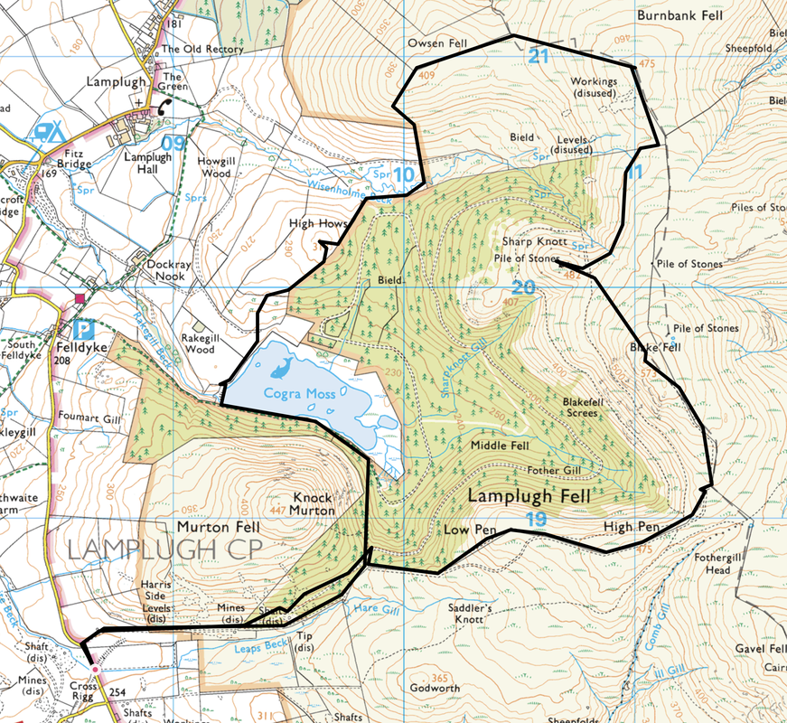
Map
OL4 The English Lakes (North Western Area)
Walkers
Dave, Angie & Fudge
Cross Rigg - Low Pen - High Pen - Blake Fell - Sharp Knott - Burnbank Fell - Owsen Fell - High Hows - Cogra Moss - Cross Rigg
Parking
Verge parking at Cross Rigg on the Lamplugh/Ennerdale road (Cauda Brow) - Grid Ref NY 0871 1820. The nearest postcode is CA26 3YE.
Mileage
7.5 miles
Terrain
Good mountain paths and forest tracks although the section between Owsen Fell & High Hows is pathless for the most part.
Weather
Sunny with light breezes.
Time Taken
5hrs (this walk can be done a lot quicker than this, we just took our time today)
Total Ascent
1916ft (584m)
Wainwrights
2
Map
OL4 The English Lakes (North Western Area)
Walkers
Dave, Angie & Fudge
|
GPX File
|
| ||
If the above GPX file fails to download or presents itself as an XML file once downloaded then please feel free to contact me and I will send you the GPX file via e-mail.
Route Map
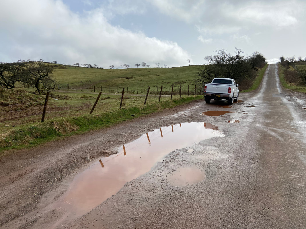
The parking area on Cauda Brow at Cross Rigg - there is room for about 12 cars either side of the road.
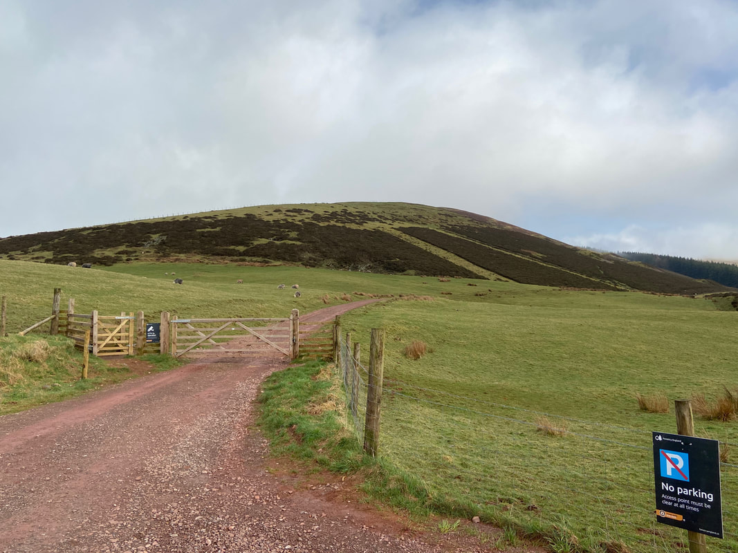
About a 100 yards to the north is a gated entrance that leads to Cogra Moss along a farm track. Despite the signs stating "no parking" there were two cars parked to the left of shot. Is it any wonder the farmers in this area have a reputation for being grumpy? The fell in view is Harris Side on Knock Murton.
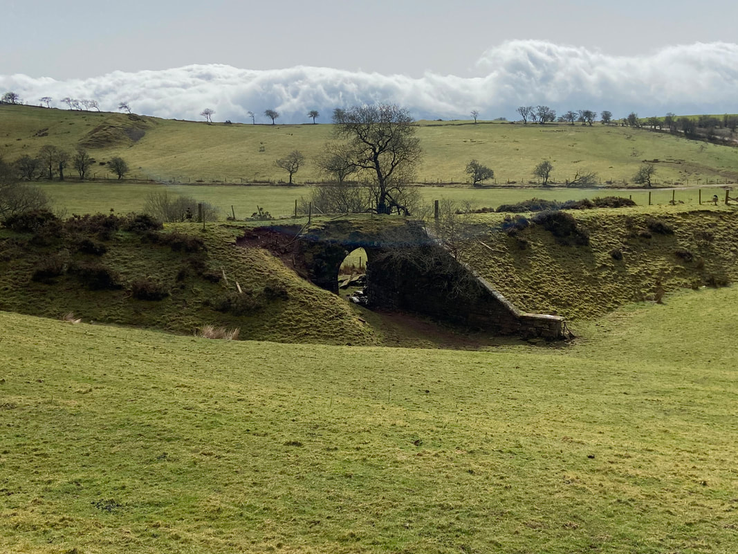
The remnants of an old railway bridge and line which were part of the Rowrah & Kelton Fell Railway. The line ran south from Rowrah to Sheriff Gate where it branched into three. One line ran south-west to Salter Hall Quarry; a second ran south to Stockhow; a third ran east to Kirkland, for Bankstead mine. The Kirkland branch continued east to Kelton Fell and Knockmurton mines, of which the disused line above is part. The line closed in 1926.
The steep path up to Knock Murton from the farm track - not for us today as we were heading straight on for Cogra Moss
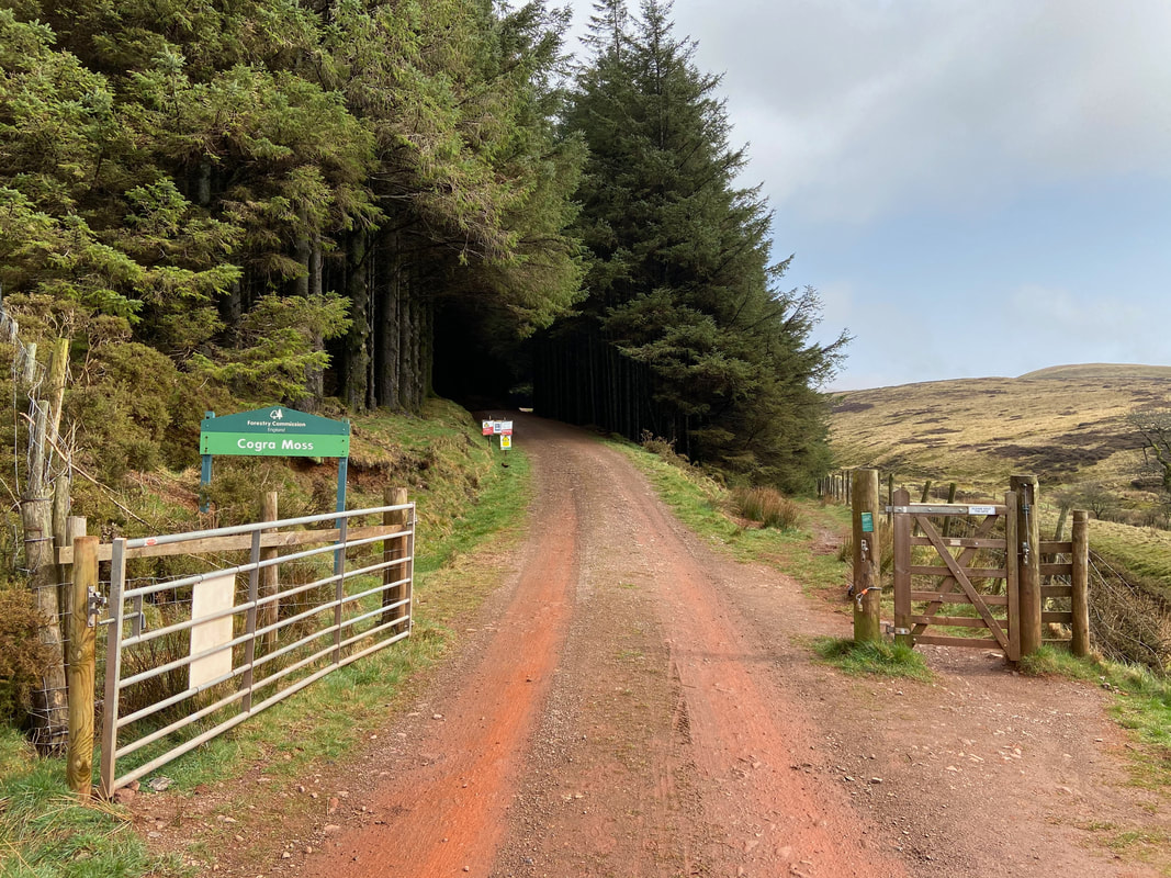
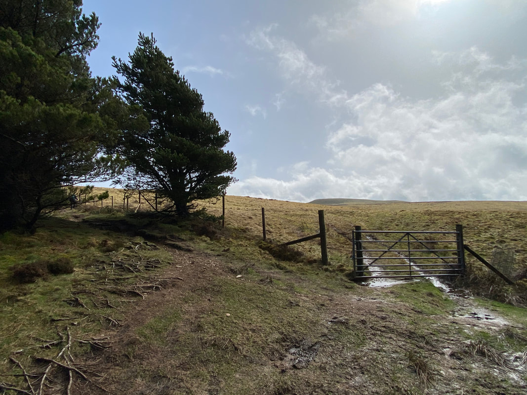
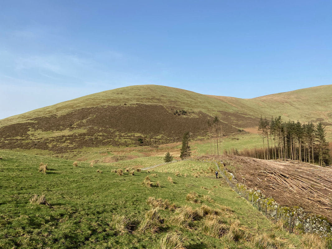
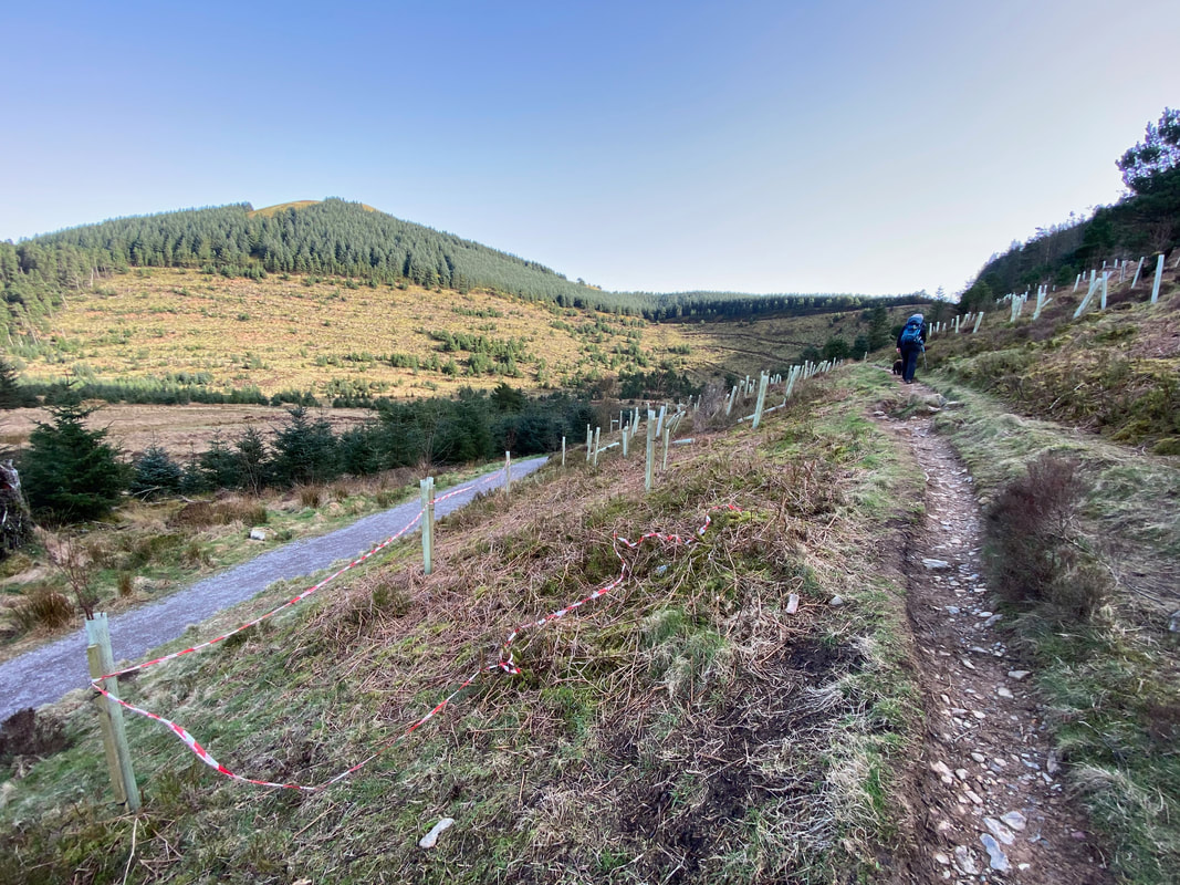
Entering Cogra Moss. There are two paths here that lead to the same place - you can either continue along the forest track or take a path to the right along the fence line. We opted to follow the forest track however we came back via the fence line path.
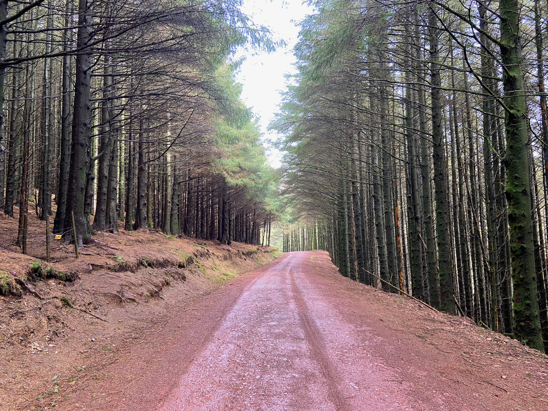
By now it was starting to warm up a bit therefore the shade was welcome as we continued along the forest track
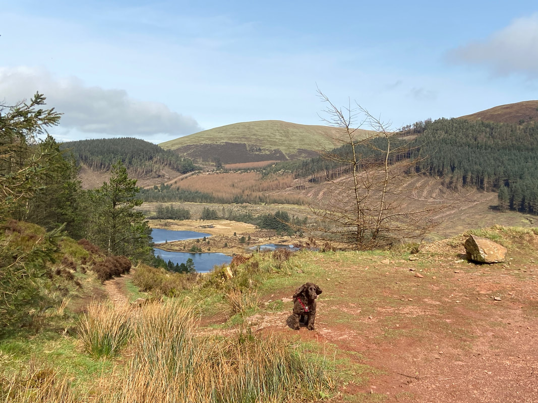
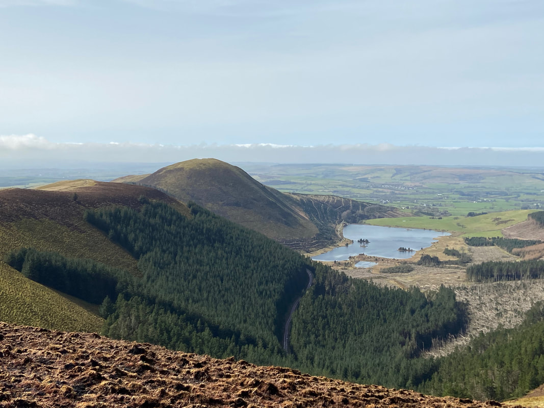
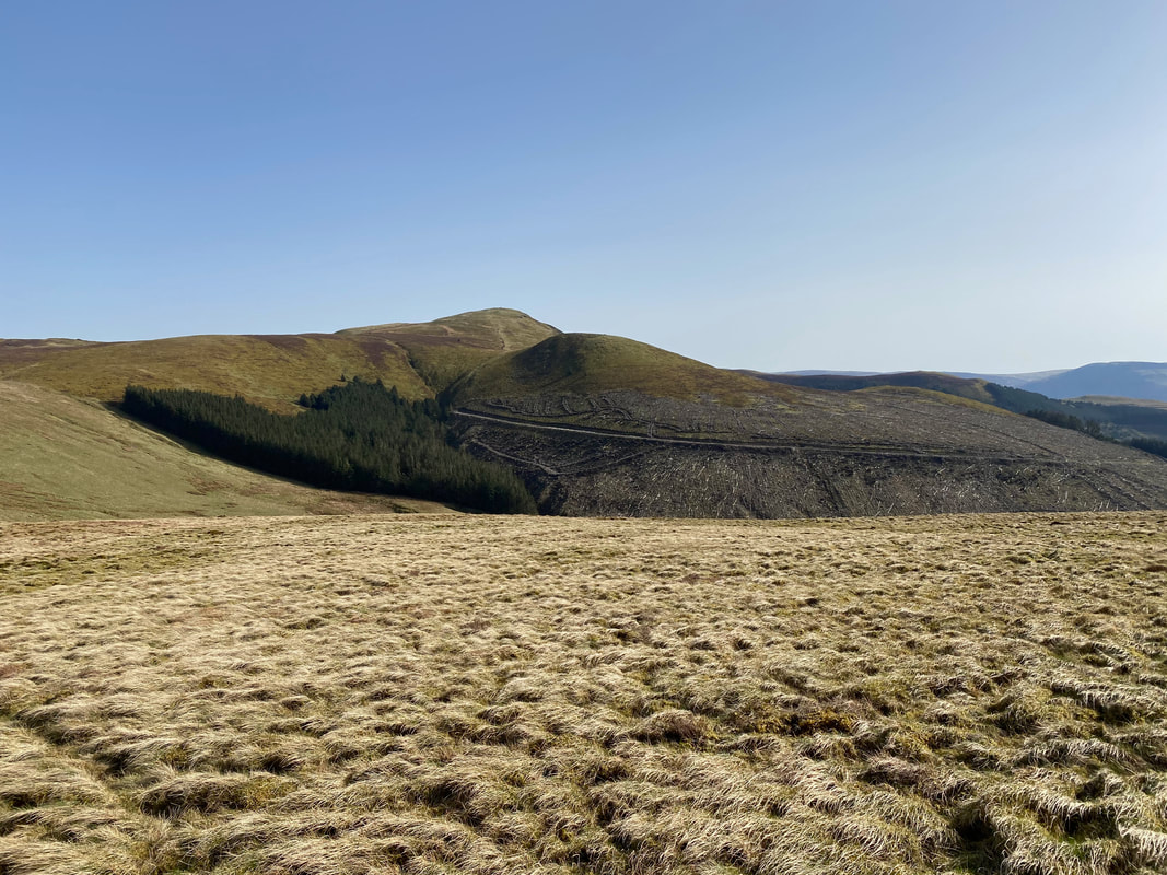
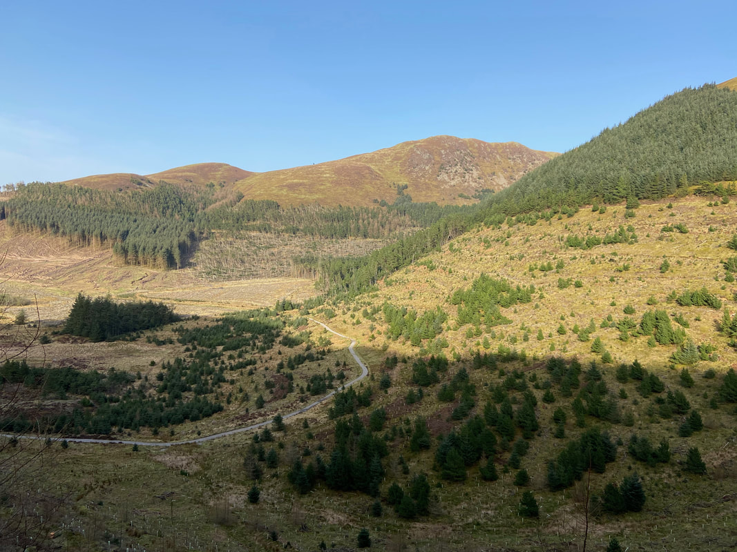
Overlooking Cogra Moss with the wooded High Hows to the left and Owsen Fell central
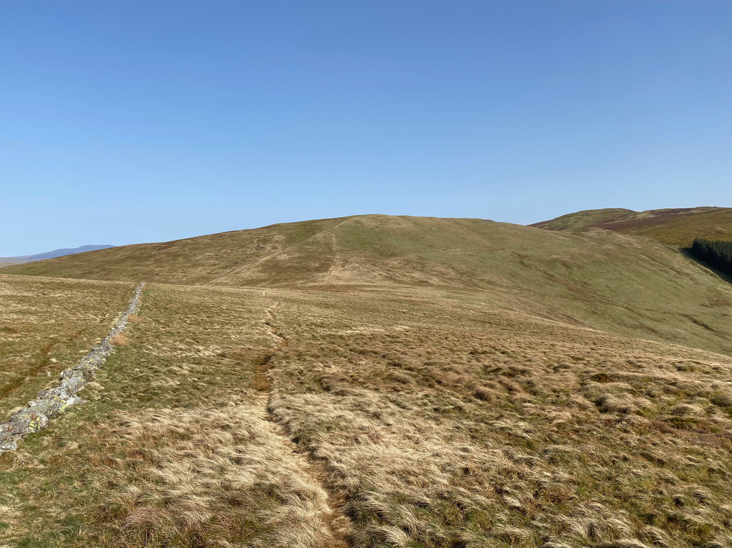
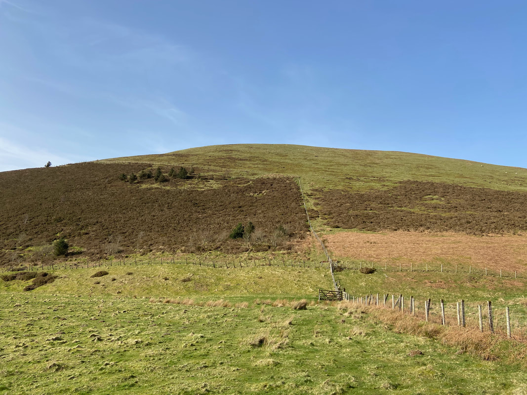
The junction of the forest track and the fence line path. The route to Low Pen is to the left although there is a path on the other side of the fence through the gate. However it is best to follow the left hand path as there is no stile on the top of Low Pen in order to gain access the summit.
The route to Low Pen showing the two paths either side of the fence.
Knock Murton
Nearing the top of Low Pen after a short, steep ascent
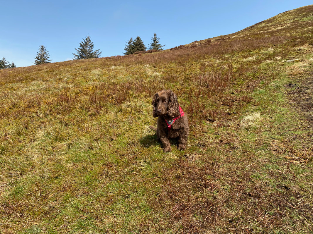
As usual Fudge is unimpressed by our huffing, puffing and frequent "excuse stops" in order to take photographs.
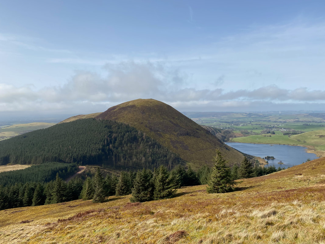
Knock Murton this time with Cogra Moss in full view
The summit of Low Pen looking to Blake Fell. The chap on the right of shot was wandering around in circles clearly looking for something. On reaching him and his walking mate he explained he had dropped his rather expensive mobile phone. I asked him if he had tried ringing it - he said he had but unfortunately had no signal. Having checked my own phone I found that I had a signal and subsequently called his number - Voila!!
Whilst of modest height, Low Pen does have commanding views - Red Pike, Starling Dodd, Pillar & Great Borne
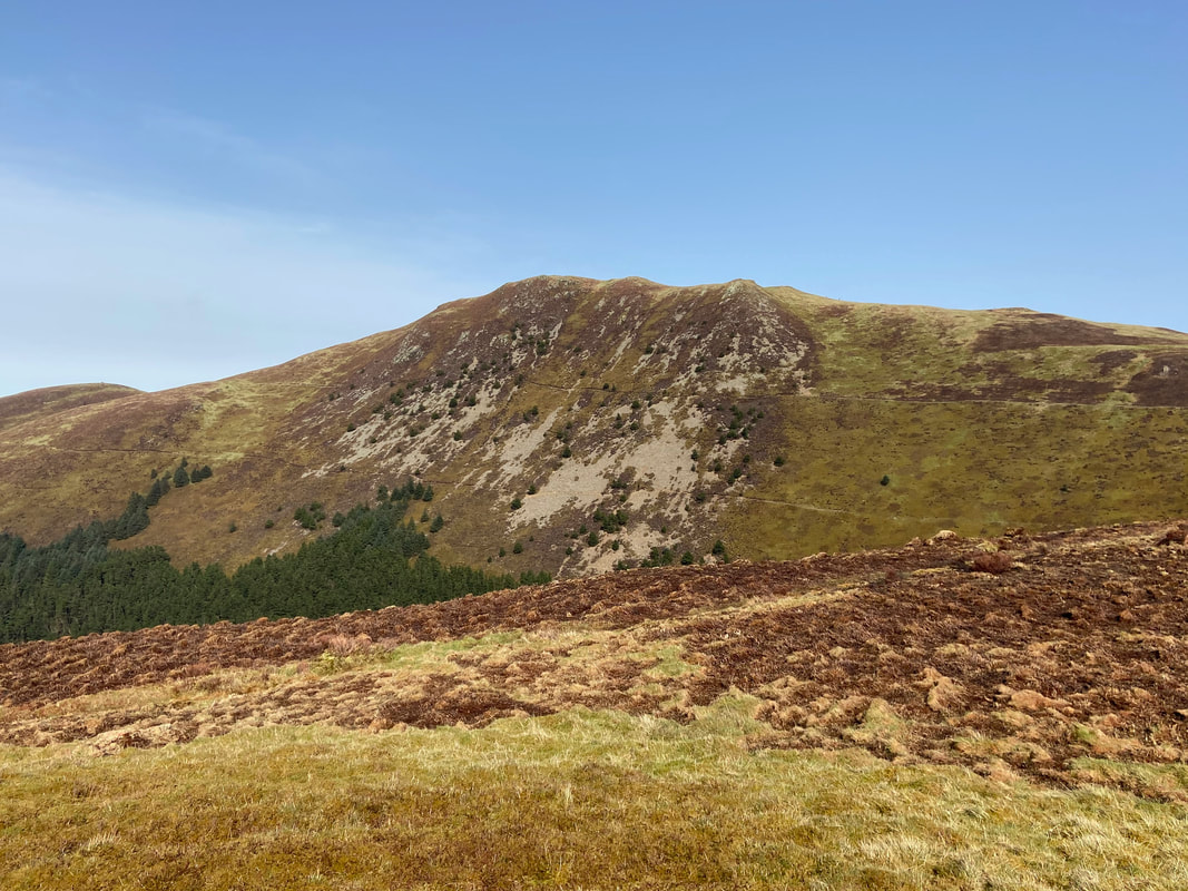
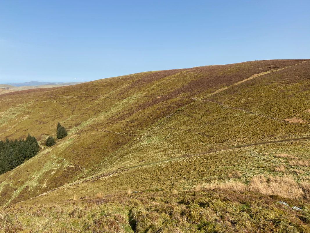
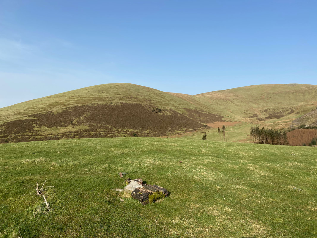
Blake Fell & Blakefell Screes from the transit to High Pen
A little further round and Gavel Fell comes into view
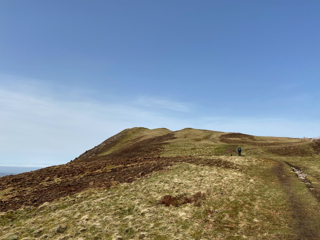
Approaching the summit of High Pen
The summit of High Pen looking to Grasmoor and the North Western Fells
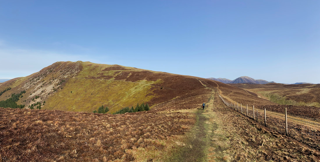
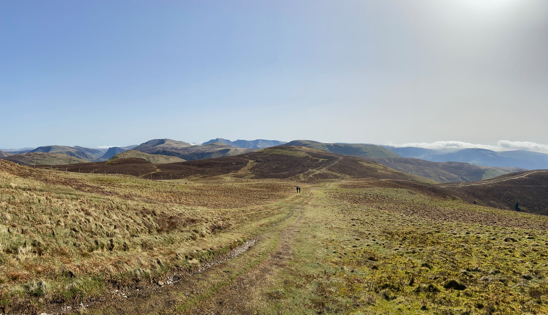
A panorama of the transit over to Blake Fell - this is just glorious walking
Looking back to High Pen. Sadly there was evidence of the scorched heather and grassland following the fire here on 13 February 2021. The fire covered approximately 20 square kilometres and took 30 hours to finally get it under control.
Scorched fence posts near High Pen
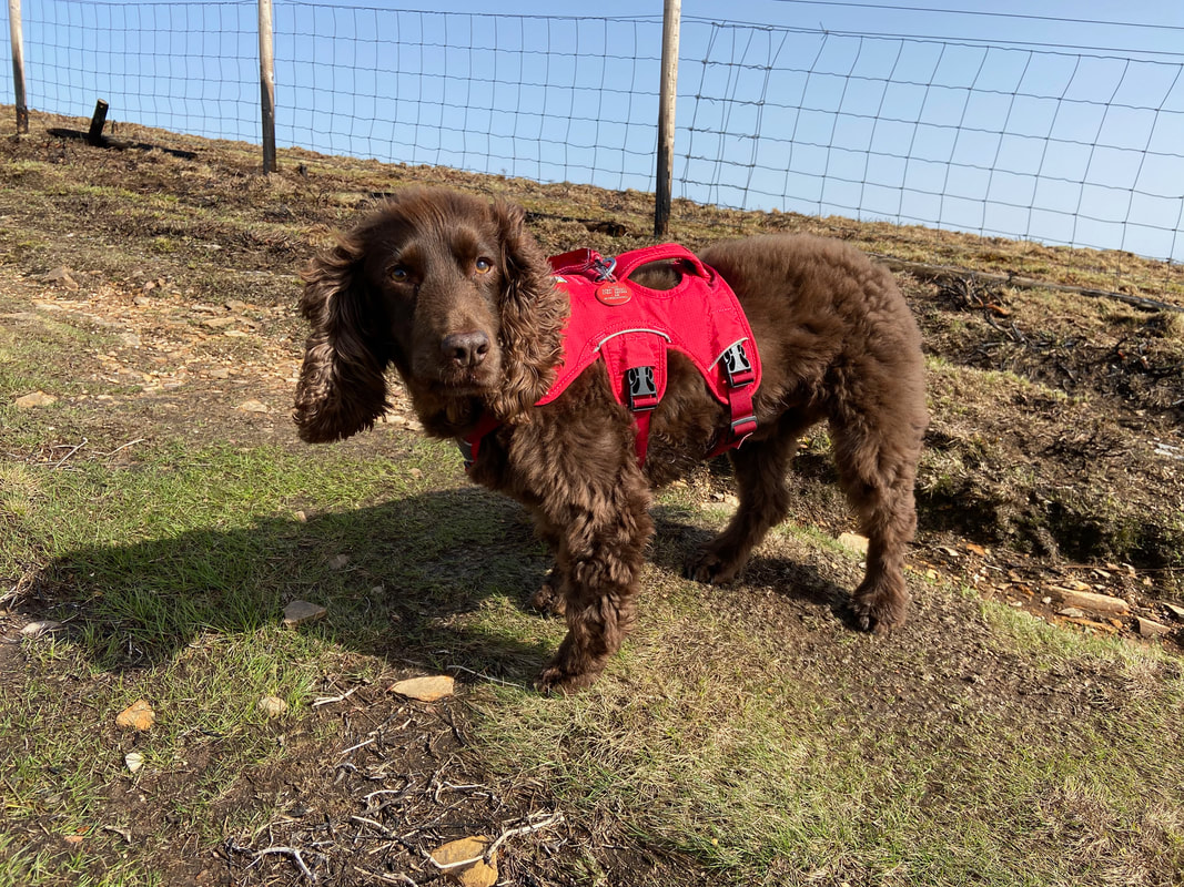
Fudge gives us his "quizzical look" from his repertoire of doggy expressions.
Another view of Knock Murton & Cogra Moss with High & Low Pen to the left.
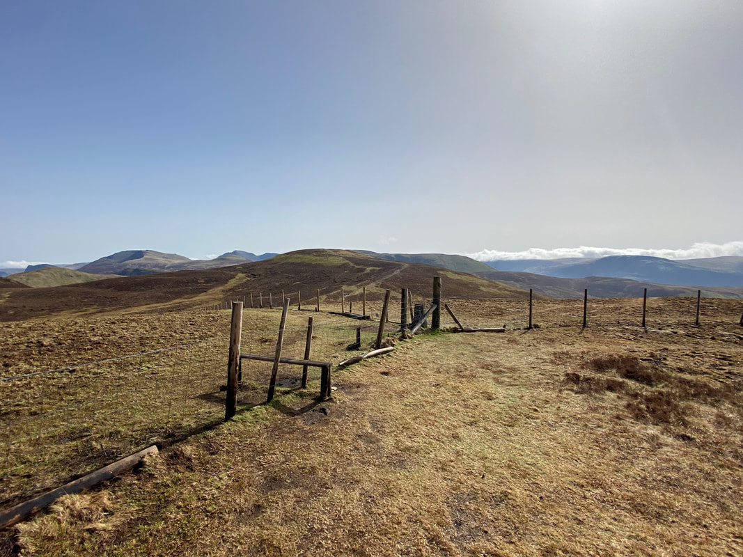
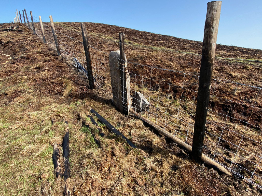
The stile in the fence that gives access to the path to Gavel Fell - the path drops down to the left to then rise to the right to reach the summit.
Looking to Blake Fell from the Gavel Fell access stile
A glorious panorama from the ascent of Blake Fell - the 2 people in shot were the only human life we saw on the entire walk apart from the mobile phone losers.
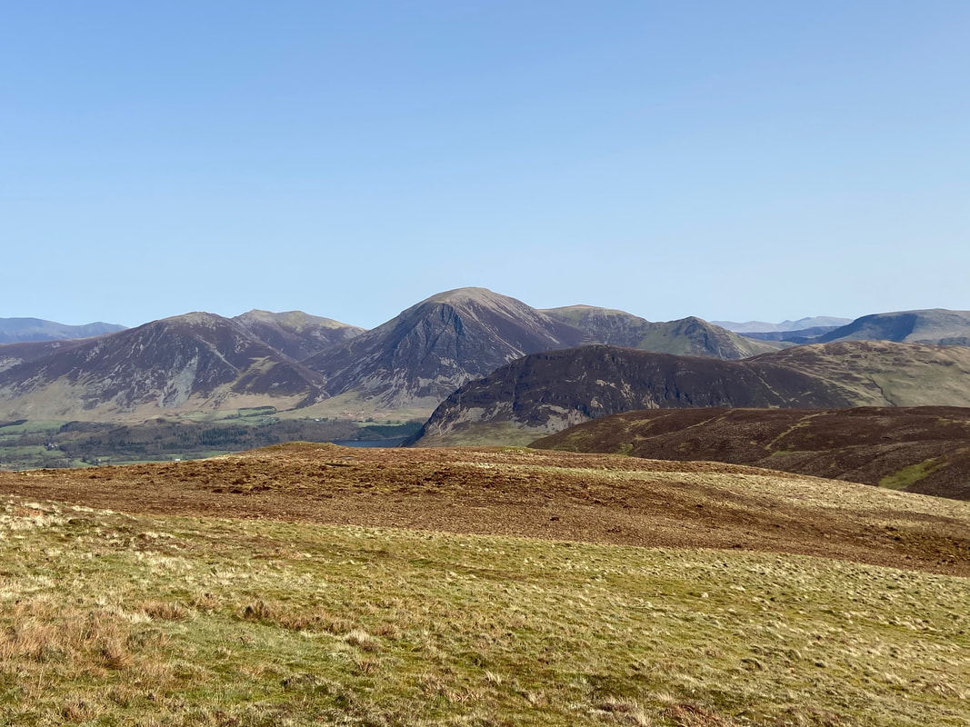
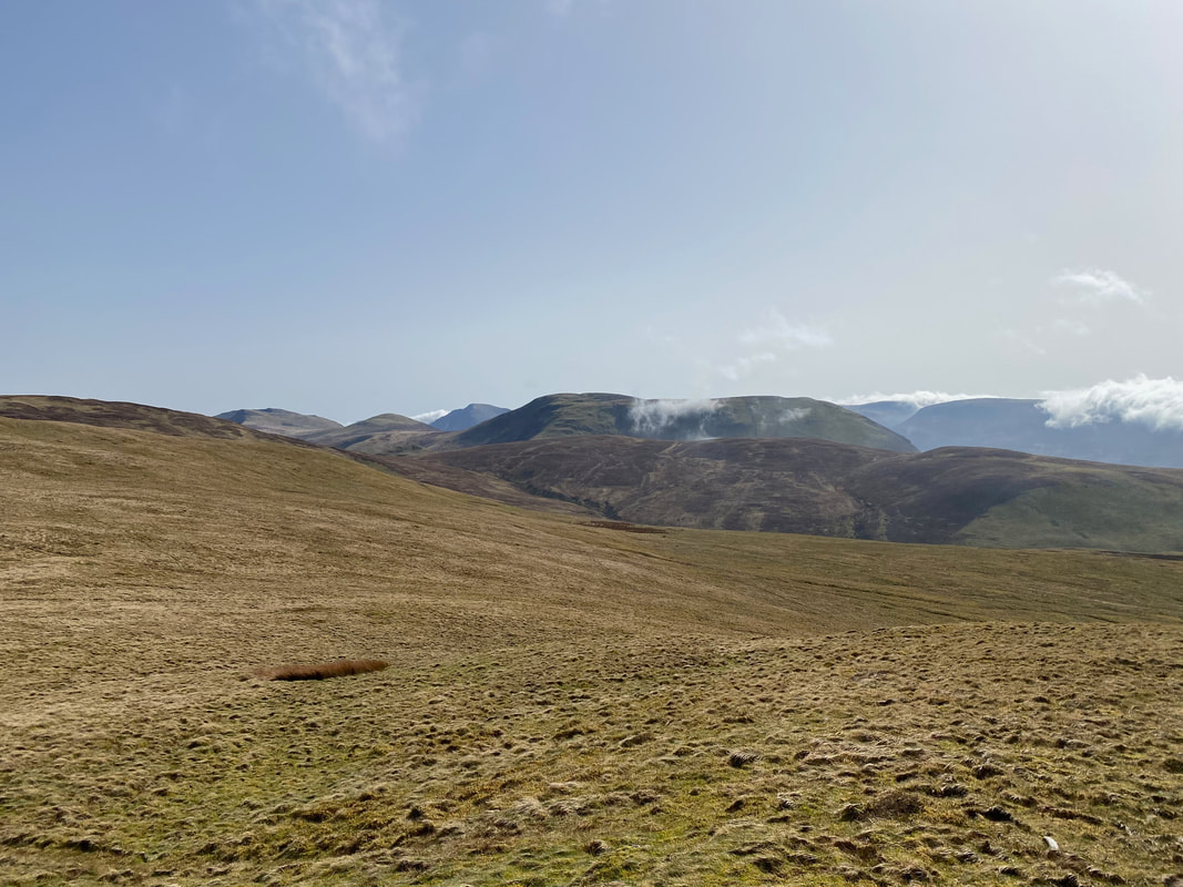
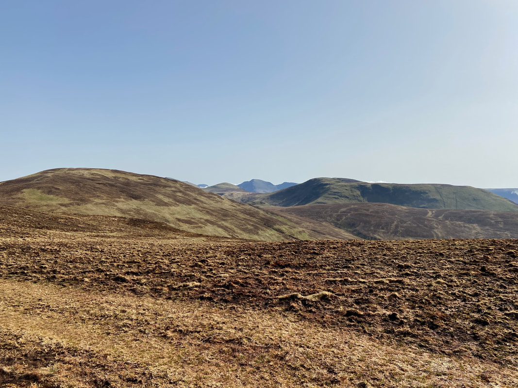
The North & North Western Fells from Blake Fell. From left to right, Skiddaw, Whiteside, Hopegill Head, Grasmoor, Wandope, Whiteless Pike & Robinson. In the foreground is Mellbreak and its imposing North Ridge with Crummock Water sitting below.
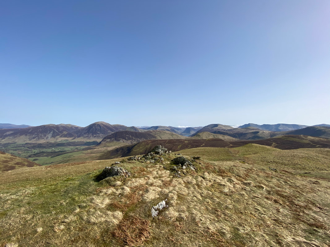
A wider Lakeland panorama from the summit of Blake Fell
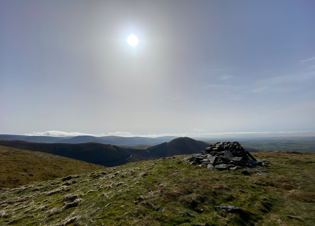
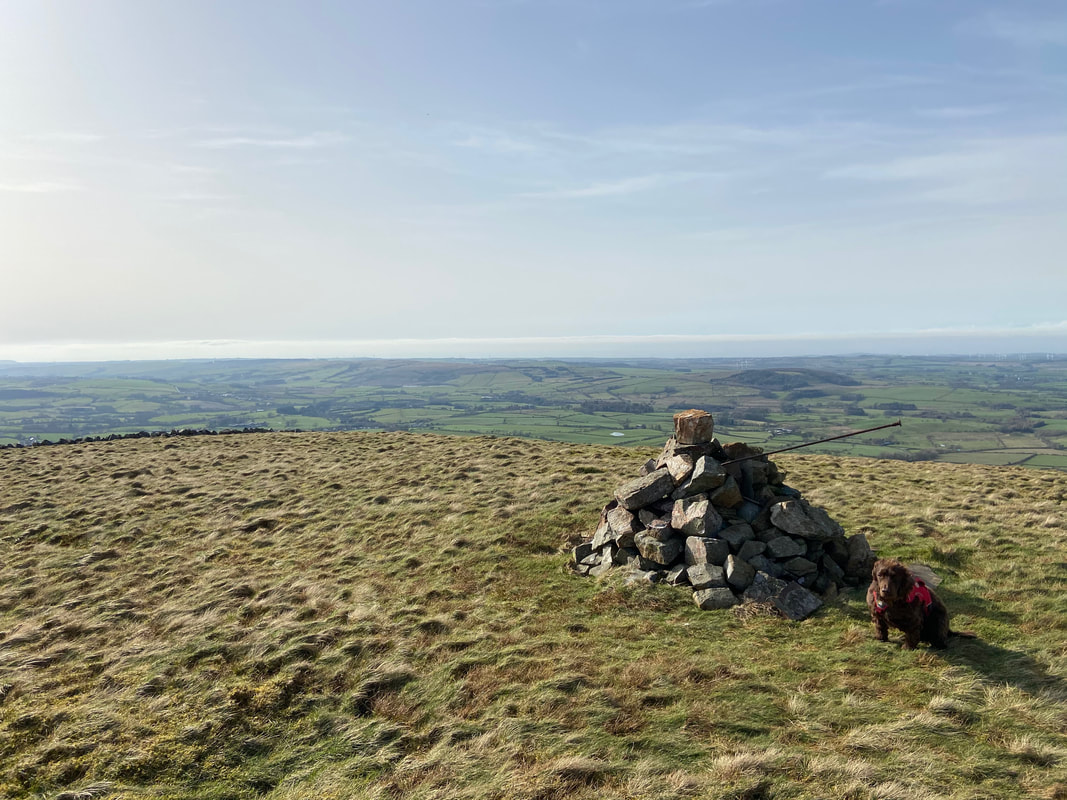
The shelter which marks the summit of Blake Fell
Knock Murton & Cogra Moss from the summit of Blake Fell
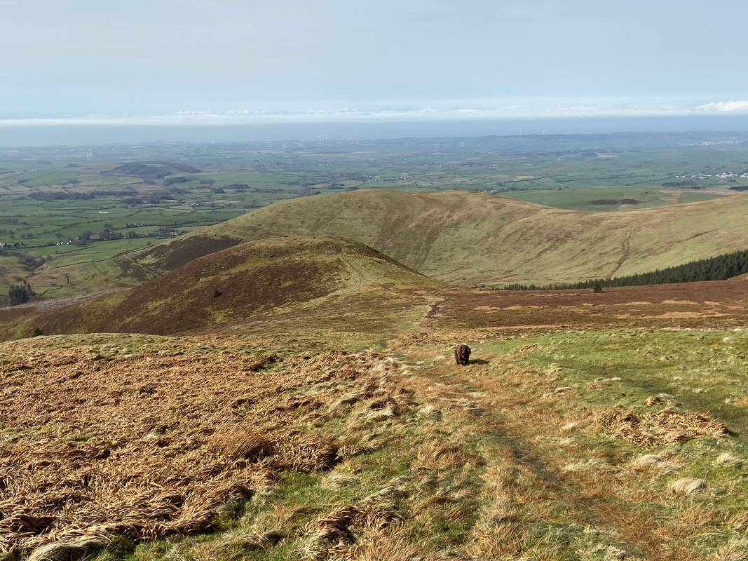
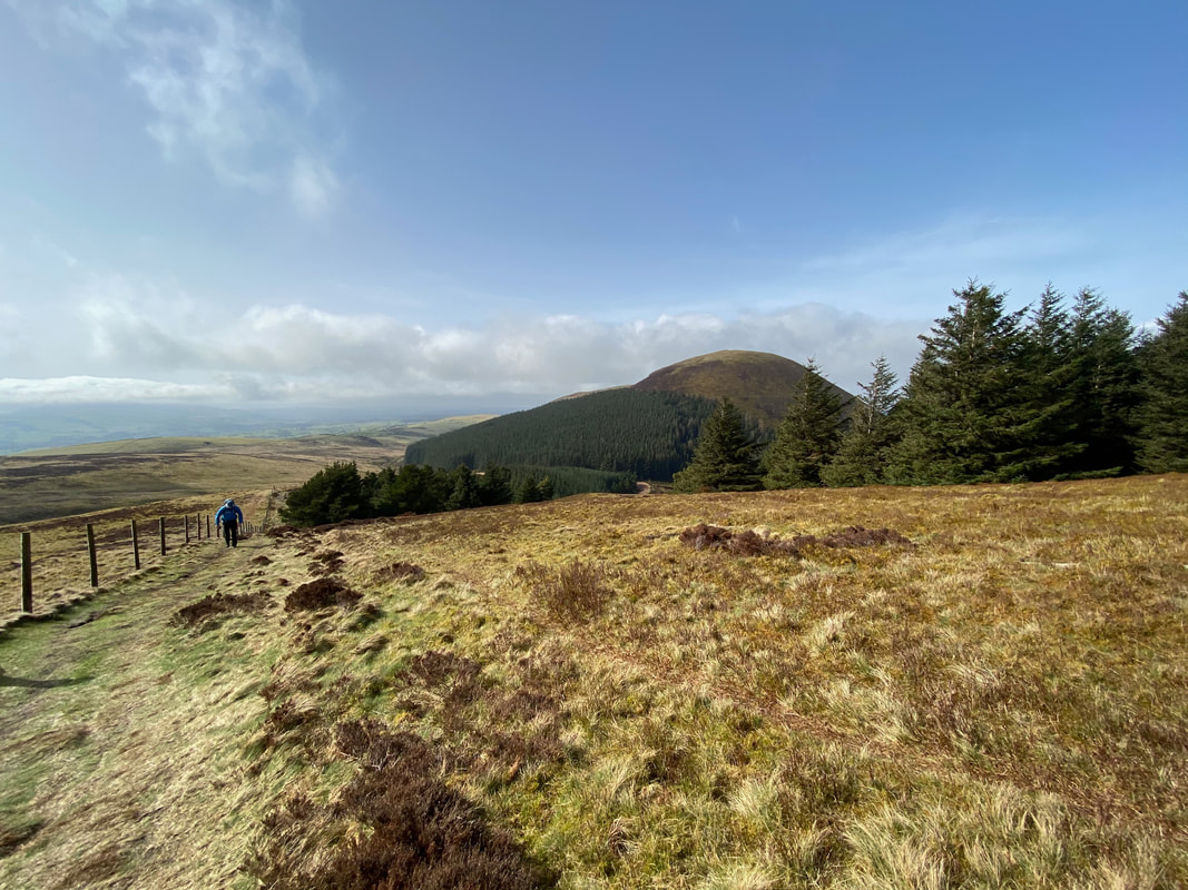
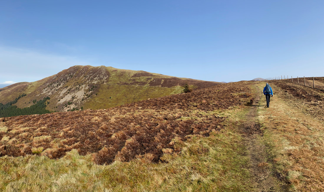
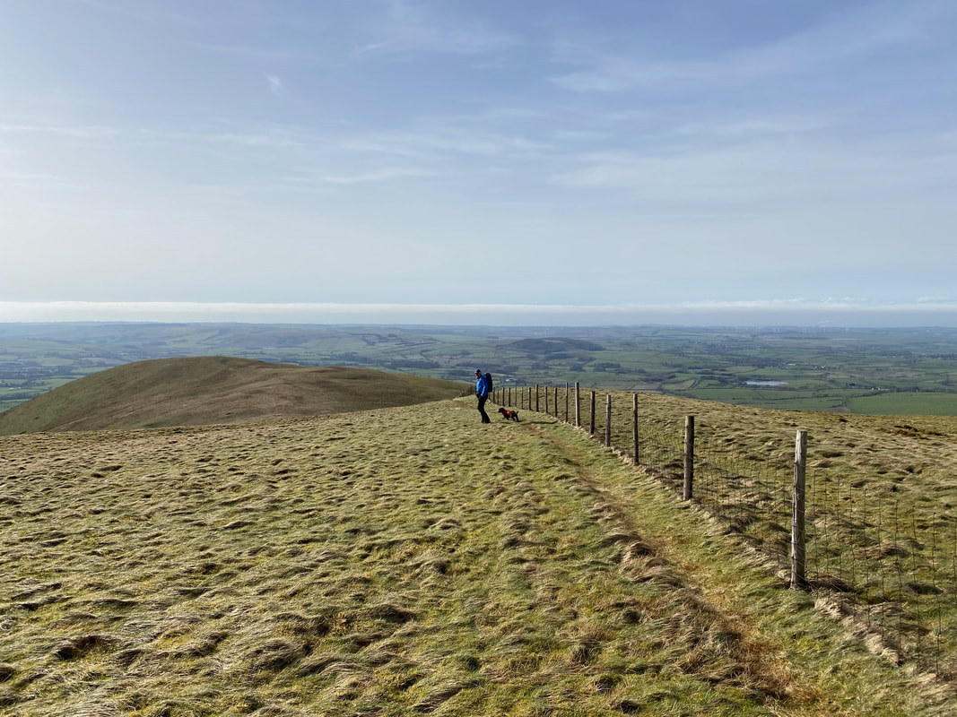
From Blake Fell there are two paths heading north. We headed down the left hand path which leads to the Birkett of Sharp Knott which is below with Owsen Fell to the rear. The right hand path (out of shot) heads for Burnbank Fell.
The summit of Sharp Knott
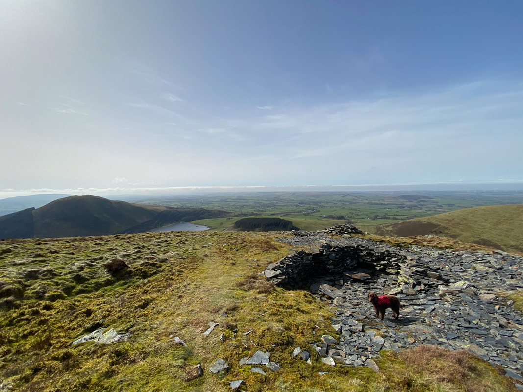
Just below Sharp Knott's summit is a lovely slate shelter which made an excellent stop for a break - and what a view.
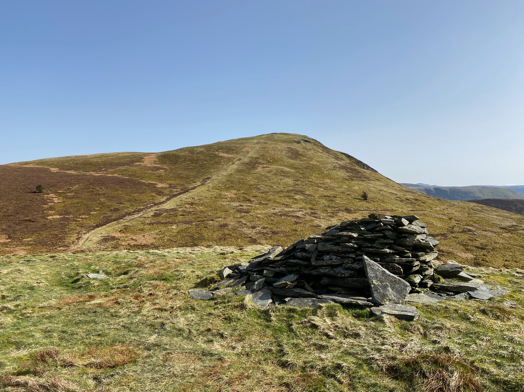
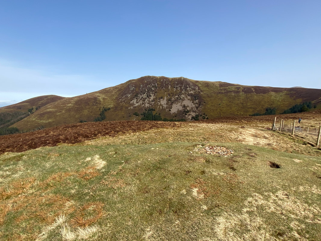
Looking to Blake Fell from the summit of Sharp Knott
From Sharp Knott a path contours around to the col between Owsen Fell to the left & Burnbank Fell to the right. We headed off to the right up an obvious path to reach Burnbank Fell's summit.
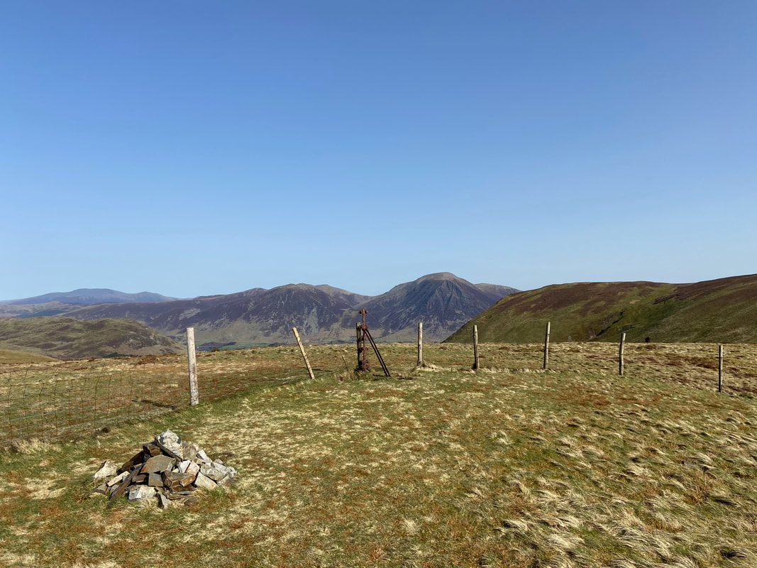
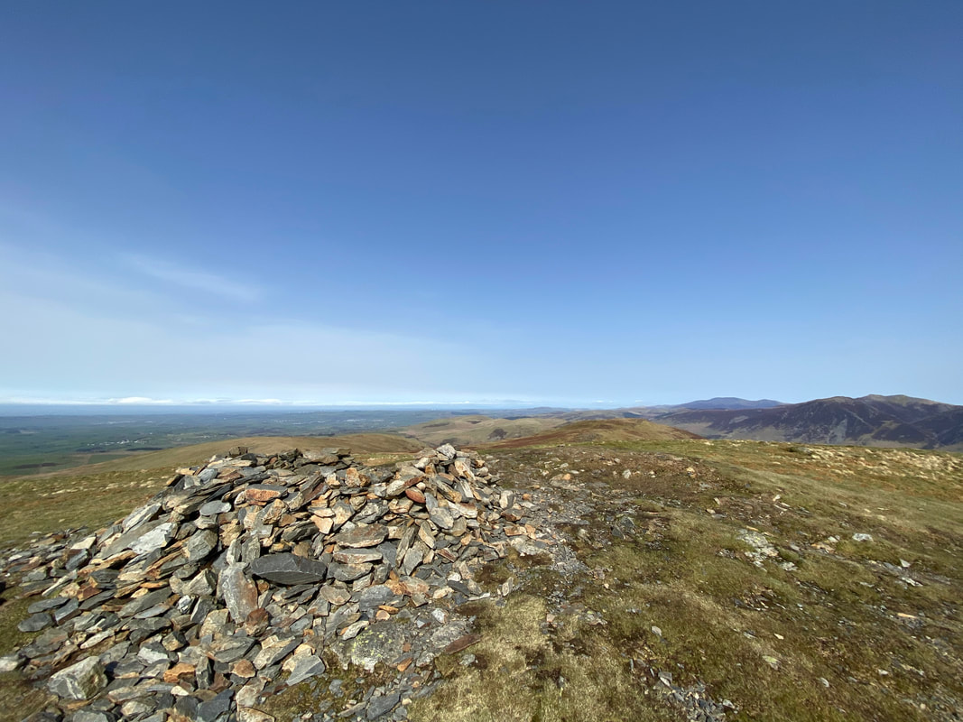
The summit of Burnbank Fell. Wainwright described Burnbank Fell's summit as "the gently rounded dome of an upland prairie" (Burnbank Fell 4). The highest point on the summit is not the cairn but the straining post seen here incorporated into the modern fence. Skiddaw, Whiteside, Grasmoor & Carling Knott provide the backdrop.
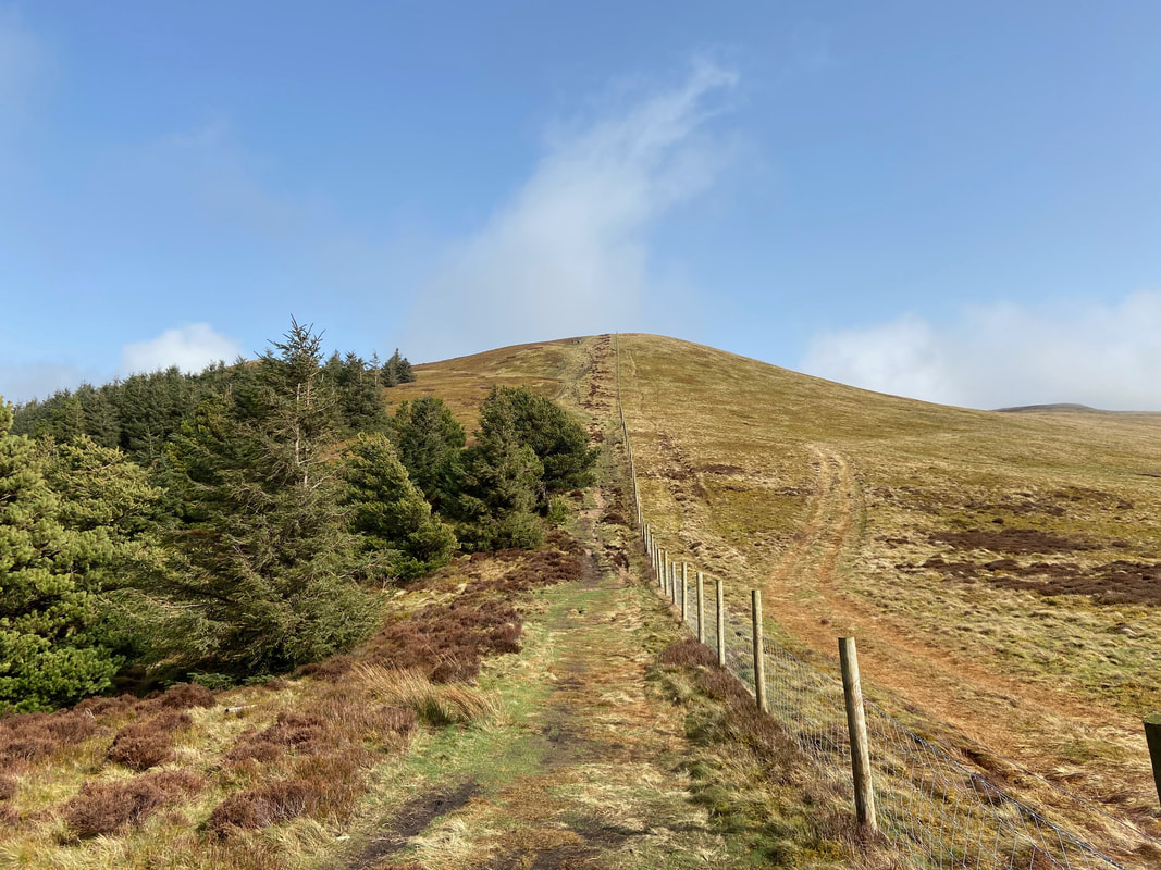
From Burnbank Fell a path heads north west to follow a fence line over to Owsen Fell
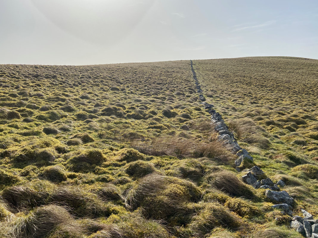
From the col between Owsen Fell & Burnbank Fell the remains of an old wall lead directly to the summit. There are rough but clear paths either side of the wall.
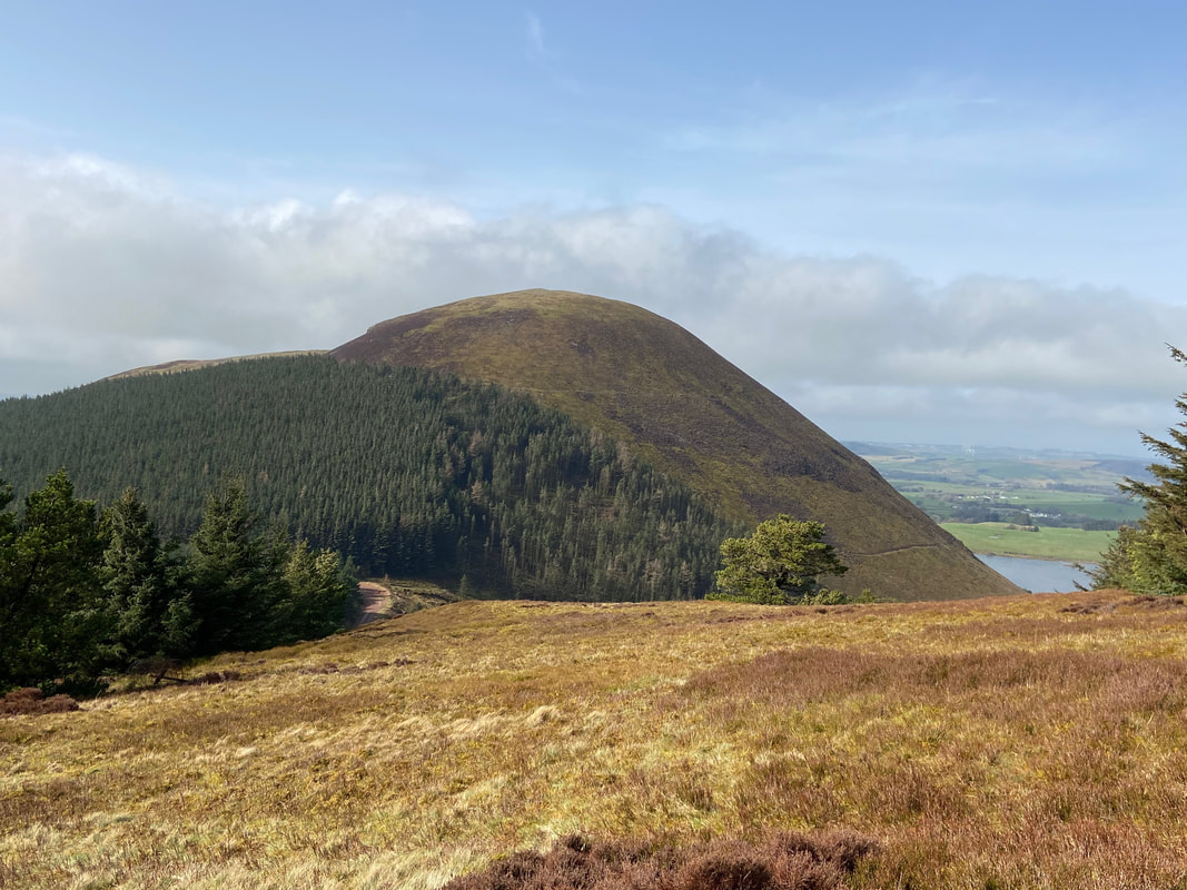
Blake Fell & Sharp Knott from the ascent of Owsen Fell
Looking back along the ruined wall to Burnbank Fell - the two rough paths can be seen quite clearly.
The summit of Owsen Fell
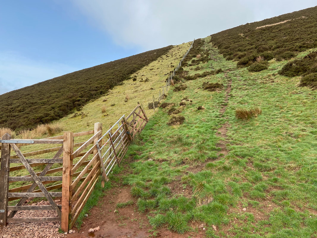
Looking to High Hows & Knock Murton from the steep descent of Owsen Fell. There is no real path down from the summit therefore we aimed for the fence corner which is just out of shot to the left - the fence itself can just about be seen below.
Looking back to Owsen Fell from the transit to High Hows. The fence corner can now be seen just right of centre. Once this is reached the fence line is followed to a stile then down to a gate.
Ascending High Hows looking back to Owsen Fell - this shot shows just how steep the descent is.
The summit of High Hows
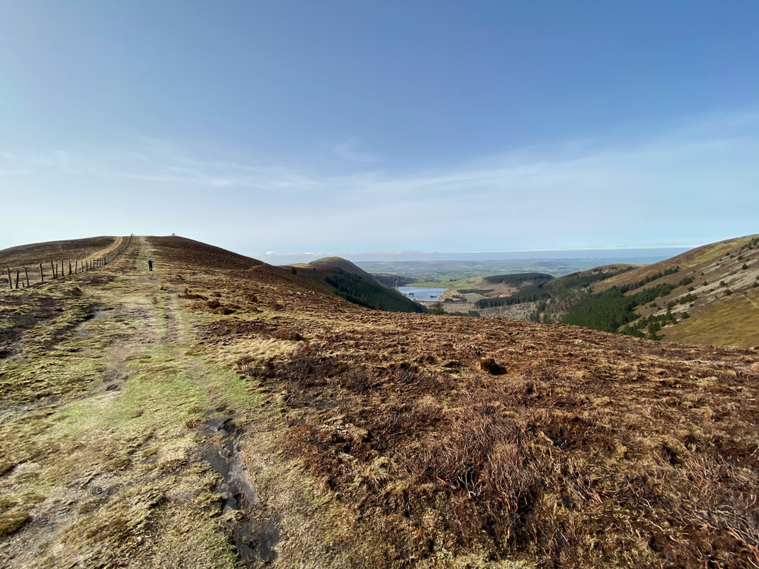
From High Hows the route passes over farmland and through a couple of gates to reach the western shoreline of Cogra Moss
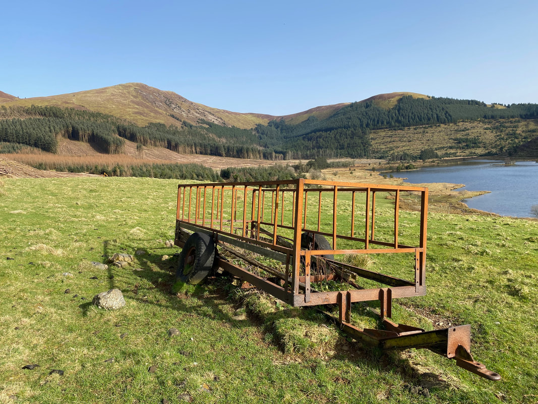
The fields around Cogra Moss displayed a plethora of agricultural machinery apparently just left to rust away.
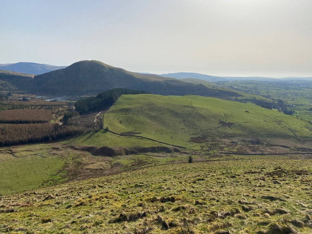
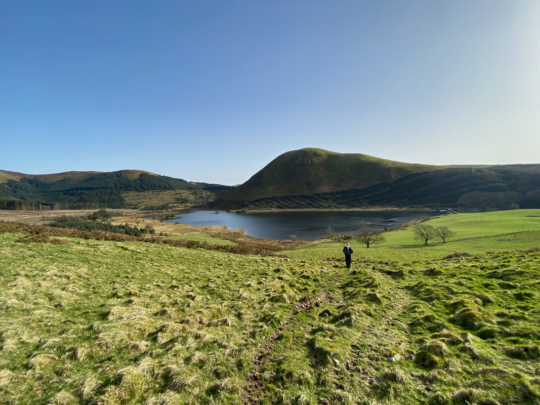
Knock Murton across Cogra Moss
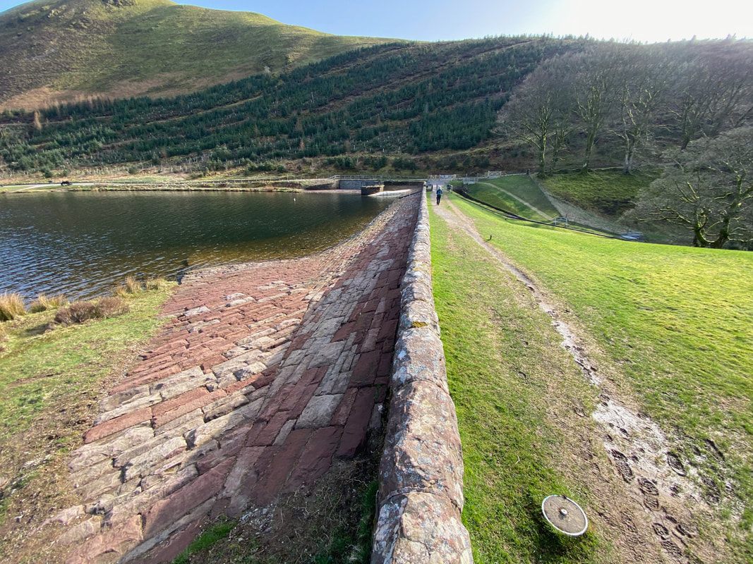
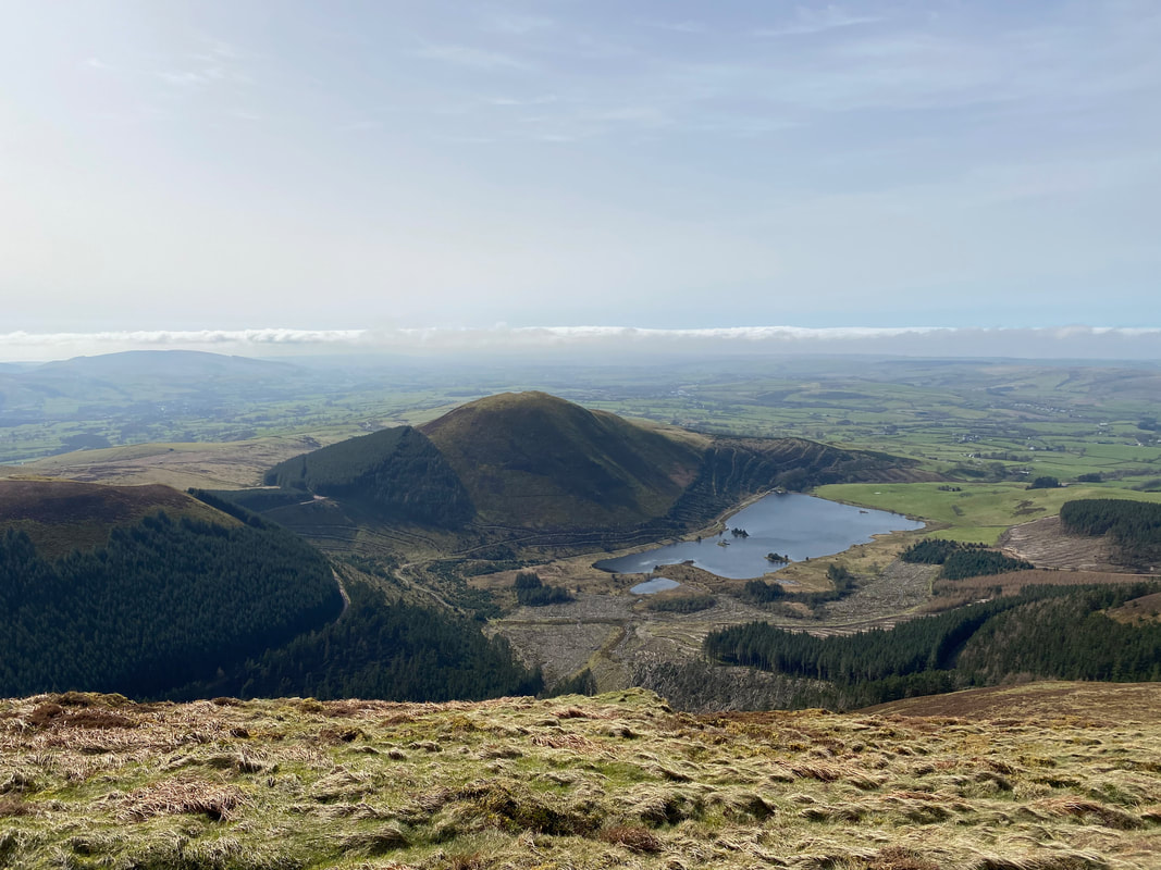
Crossing Cogra Moss via the dam across Rakegill Beck. The reservoir was created in about 1880 and discontinued as a public water supply in 1975. It has a pleasant setting surrounded on three sides by Forestry Commission planting on Lamplugh Fell and Knock Murton.
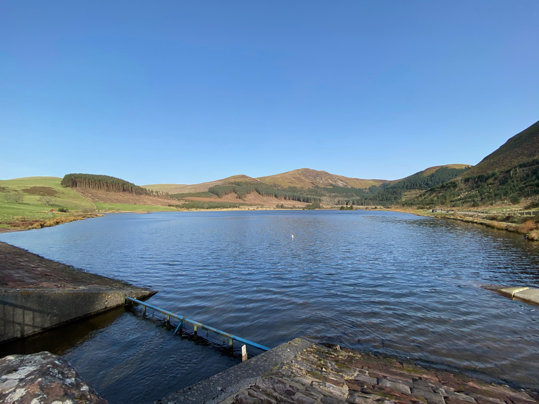
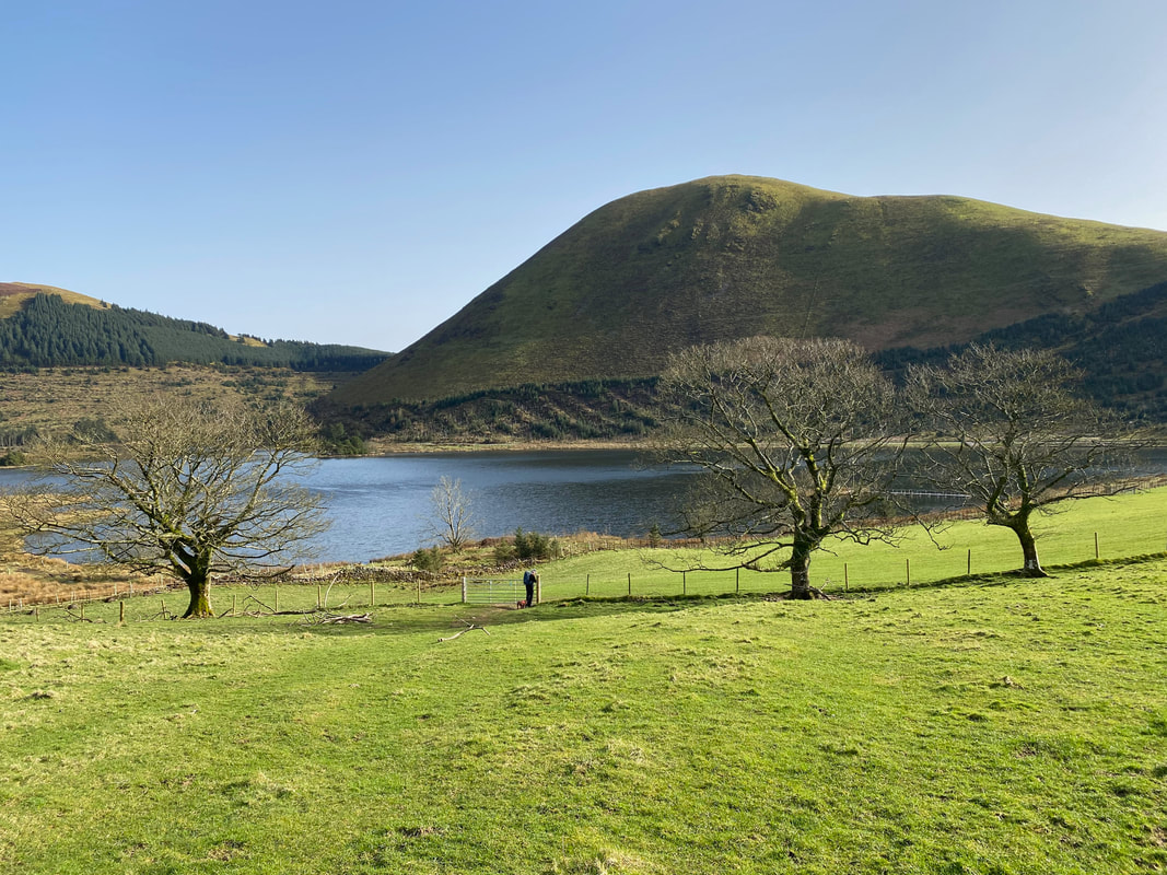
Looking down Cogra Moss Reservoir to Sharp Knott & Blake Fell
A path leaves the main forest track around Cogra Moss to head up the lower slopes of Knock Murton
Looking down to the forest track from the lower slopes of Knock Murton to Blake Fell
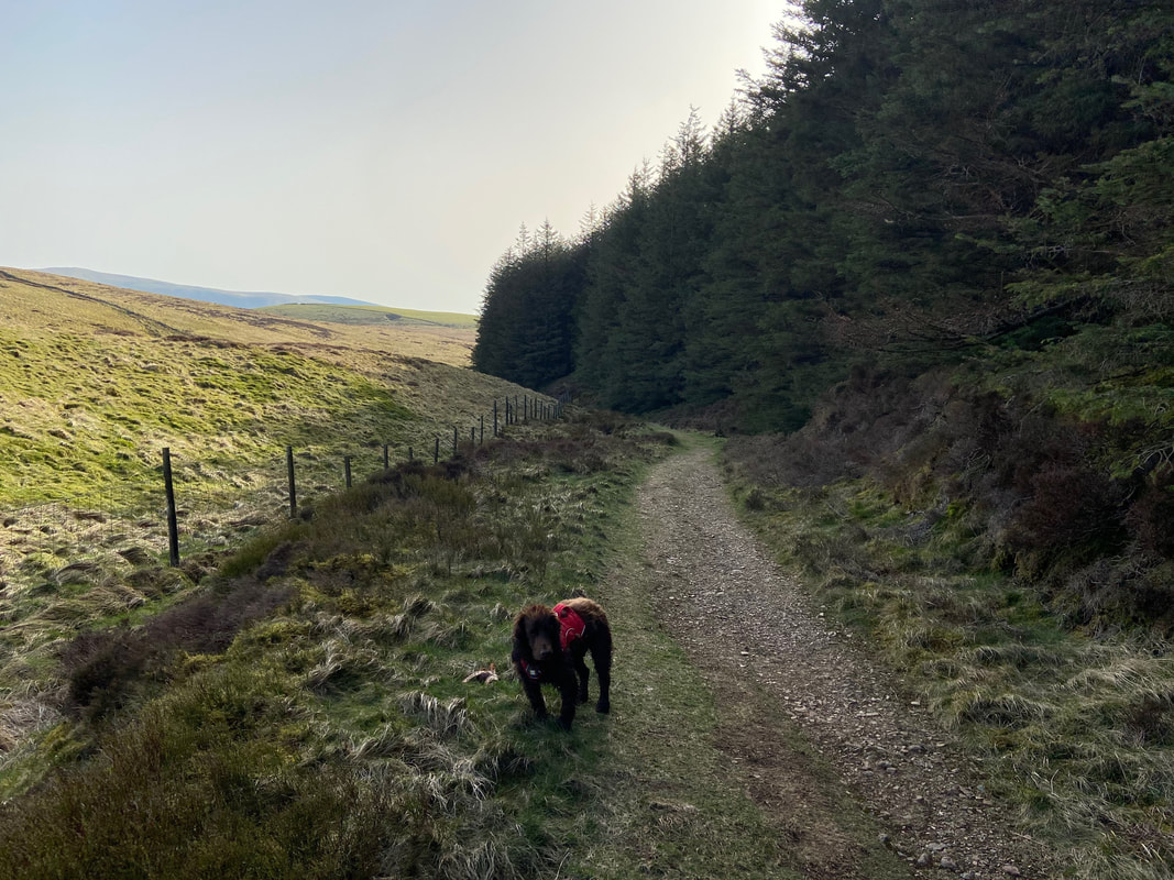
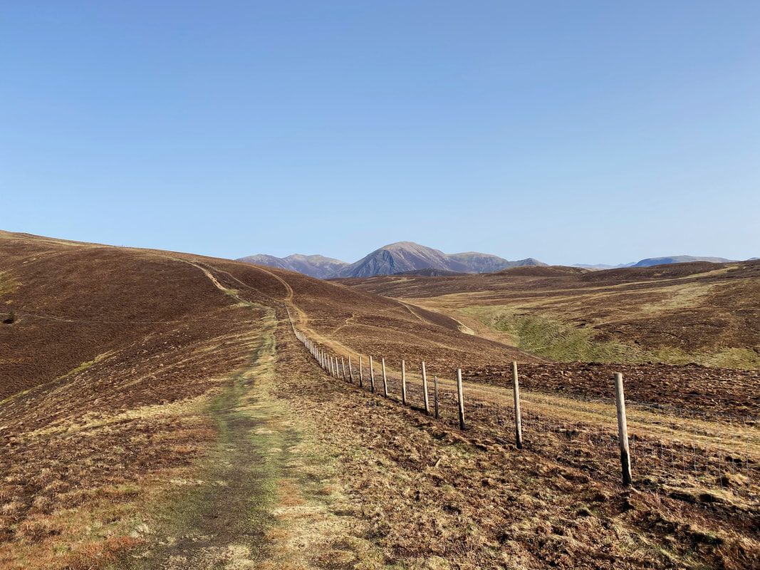
Heading back to Cross Rigg via the fence line path