Great Cockup - Monday 5 April 2021
Route
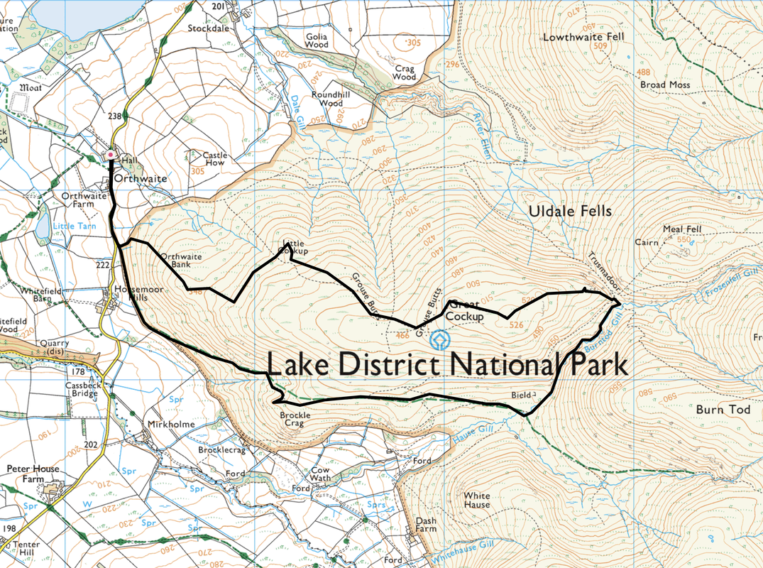
Orthwaite - Horsemoor Hills - Brockle Crag - Hause Gill - Burntod Gill - Trusmadoor - Great Cockup - Little Cockup - Orthwaite Bank - Orthwaite
Parking
Small parking area opposite Orthwaite Hall (£2 donation) - Grid Reference NY 25242 34185. The nearest postcode is CA7 1HL.
Mileage
5 miles
Terrain
Good mountain paths & farm tracks. The transit through Burntod Gill was on a good path which was eroded in parts but not overly difficult to negotiate.
Weather
Sunny and mild in the valley however the summits were blustery.
Time Taken
2hrs 30mins
Total Ascent
1062ft (324m)
Wainwrights
1
Map
OL4 - The English Lakes (North Western Area)
Walkers
Dave, Angie & Fudge
|
GPX File
|
| ||
If the above GPX file fails to download or presents itself as an XML file once downloaded then please feel free to contact me and I will send you the GPX file via e-mail.
Route Map
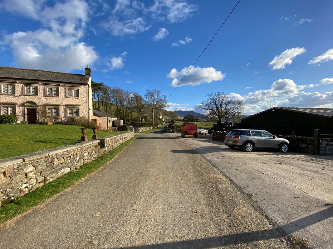
The walk started from the small parking area at the farm opposite Orthwaite Hall where there is room for about 4 sensibly parked cars. There is an honesty box situated here with a suggested donation of £2.
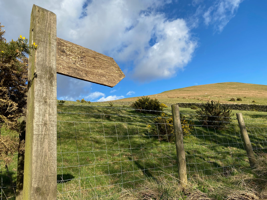
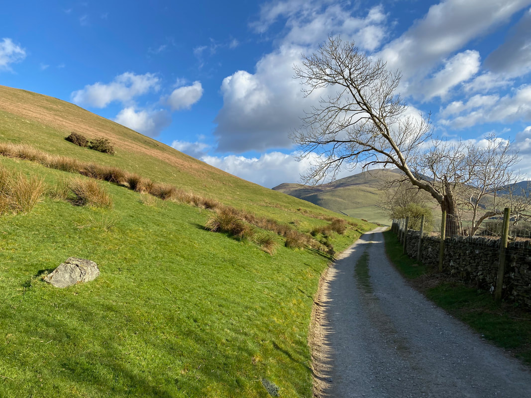
The route follows the road leaving Orthwaite to the south and shortly after turns off on to a farm track signposted to Burn Tod
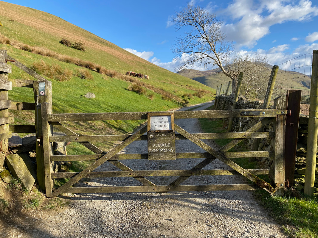
Shortly after leaving the road the route heads onto Uldale Commons. The access track eventually leads to Dash Farm further up the valley.
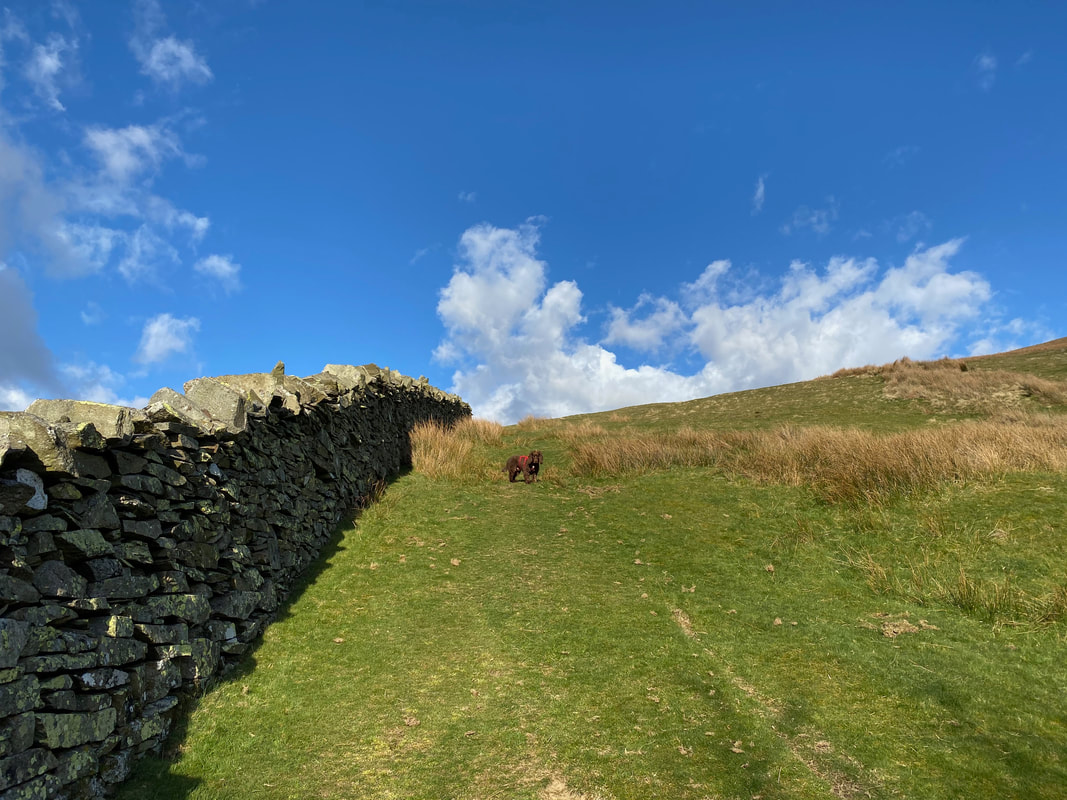
No not that way Fudge - that is our return route
Bakestall & Skiddaw from the farm track
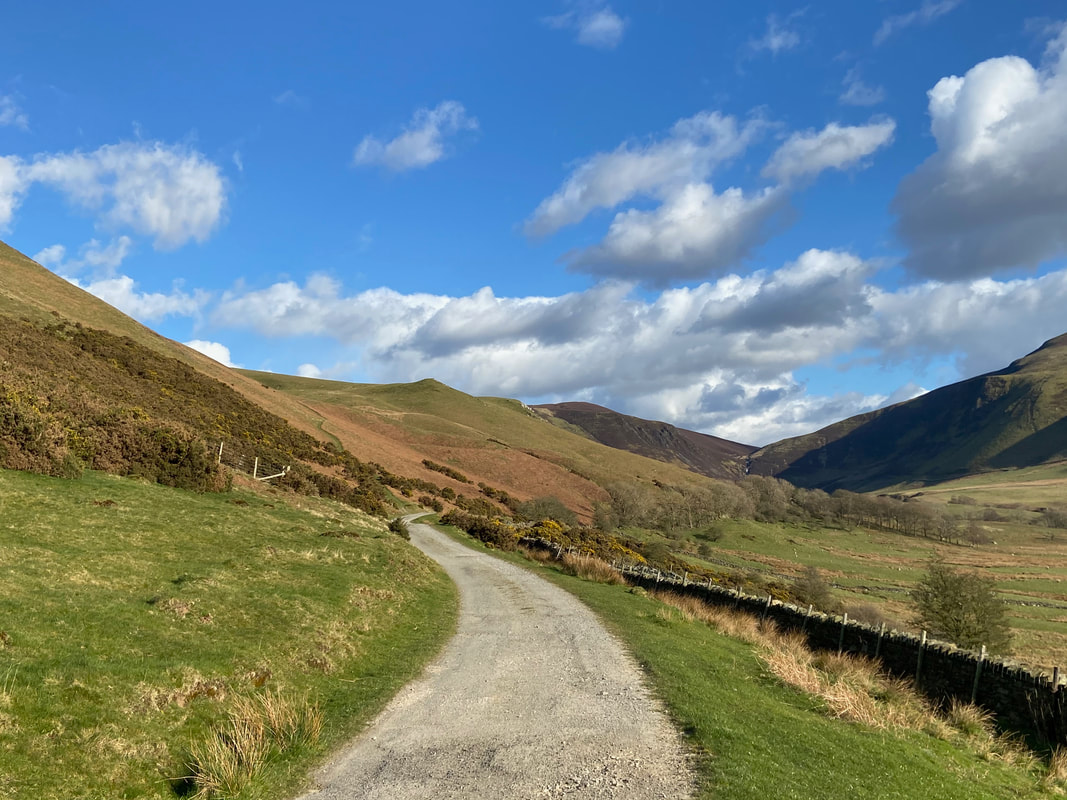
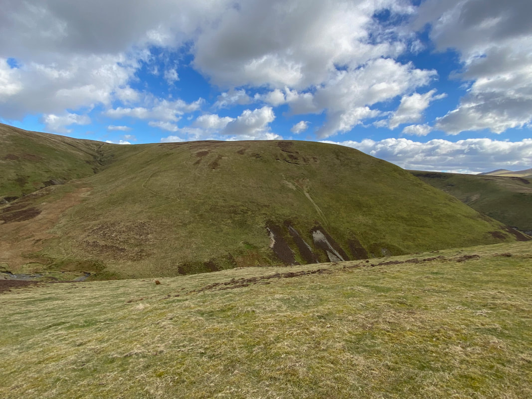
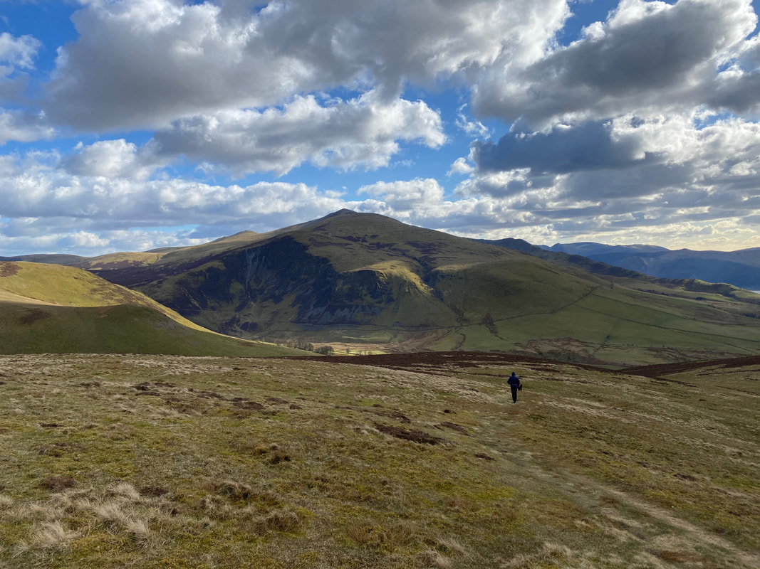
Continuing along the farm track, Brockle Crag comes into view with the Dash Valley to the right
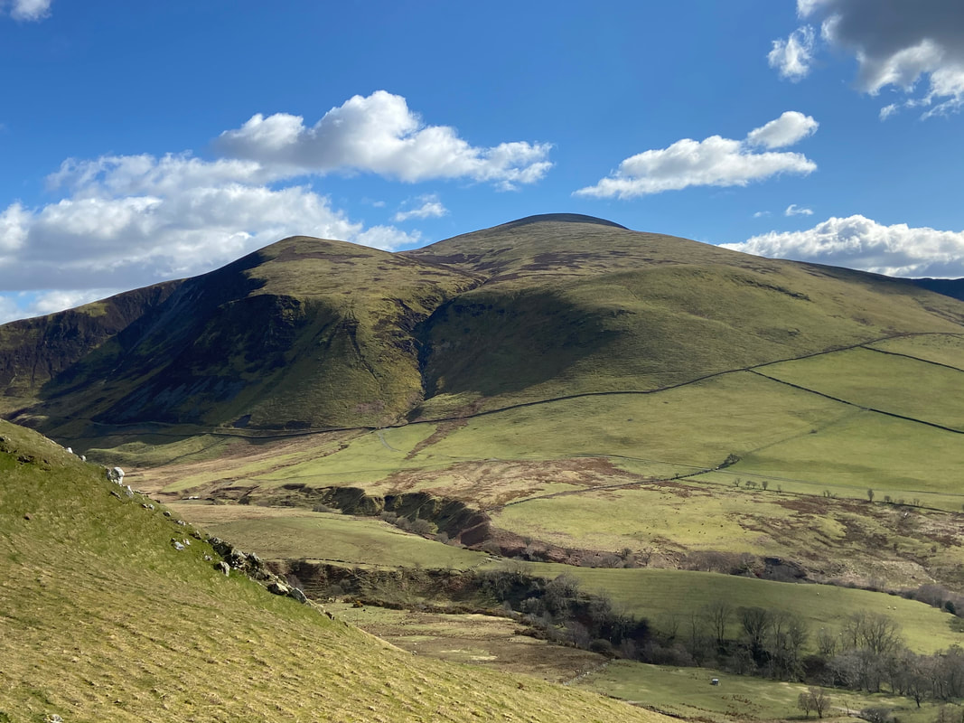
Looking over the Dash Valley to Dead Crags, Bakestall & Skiddaw
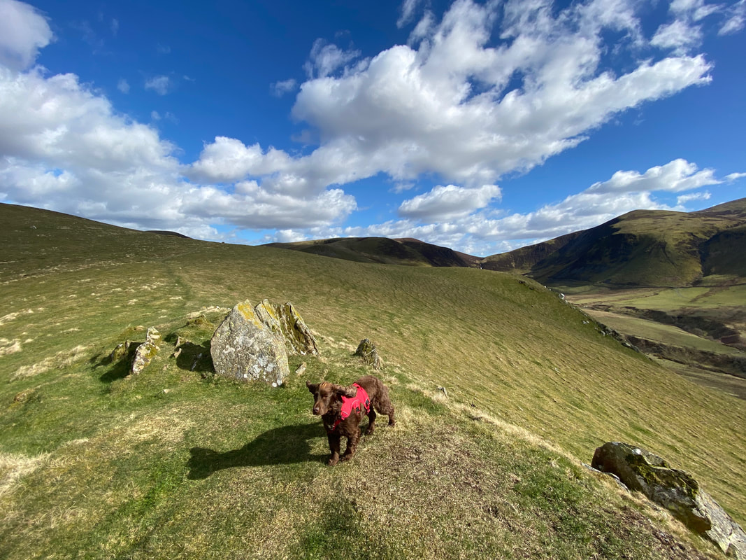
The summit of Brockle Crag - Fudge looks like he is ready for take off.
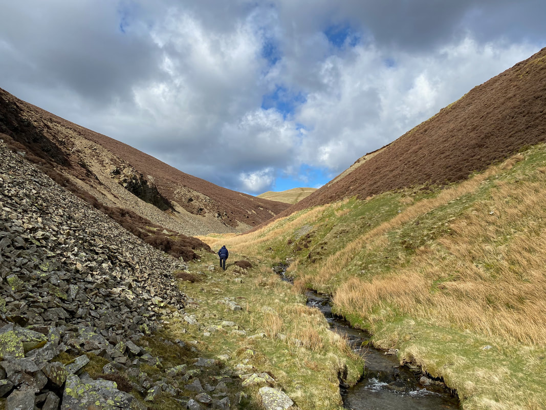
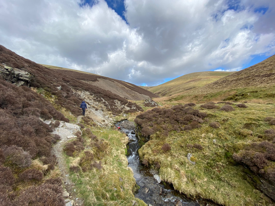
Heading up Burntod Gill - this was the first time we had walked this route and what a cracker it was.
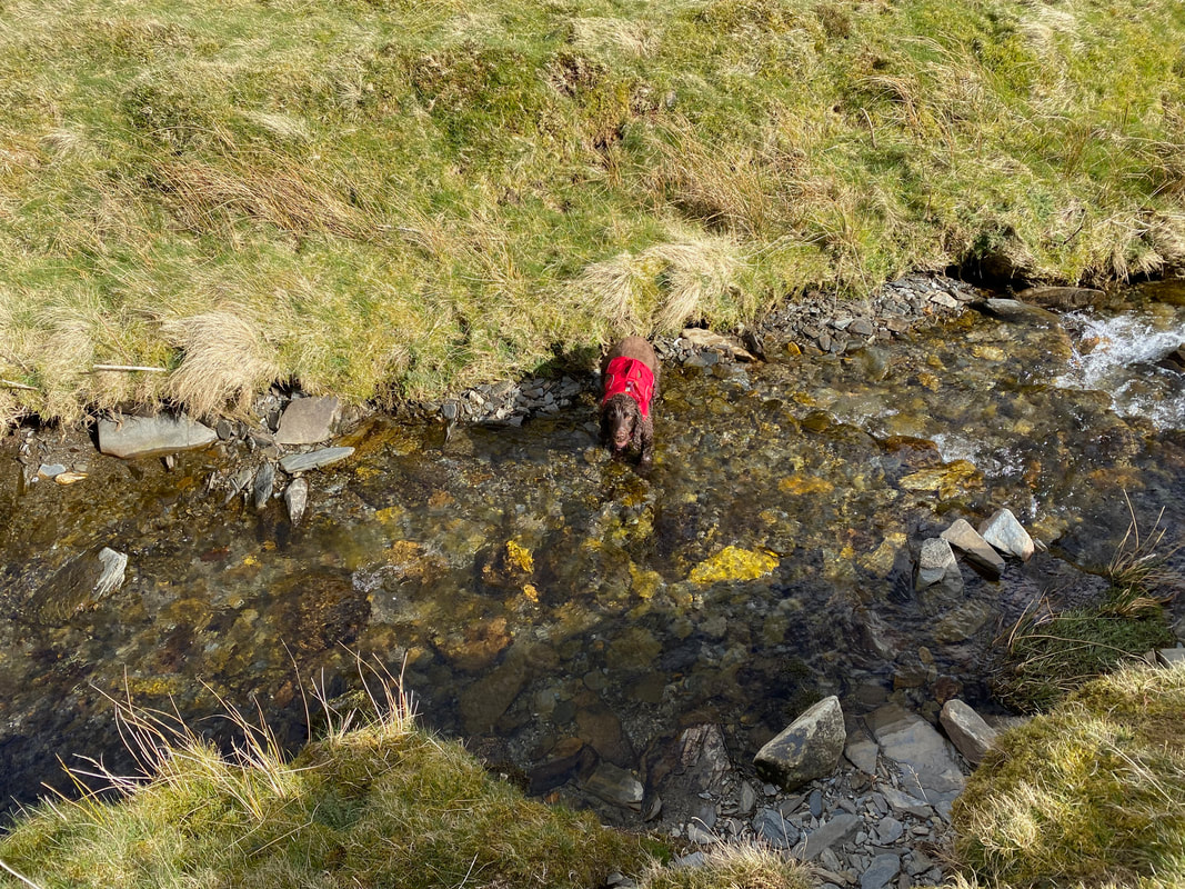
He needs no excuse - straight away in the gill he goes
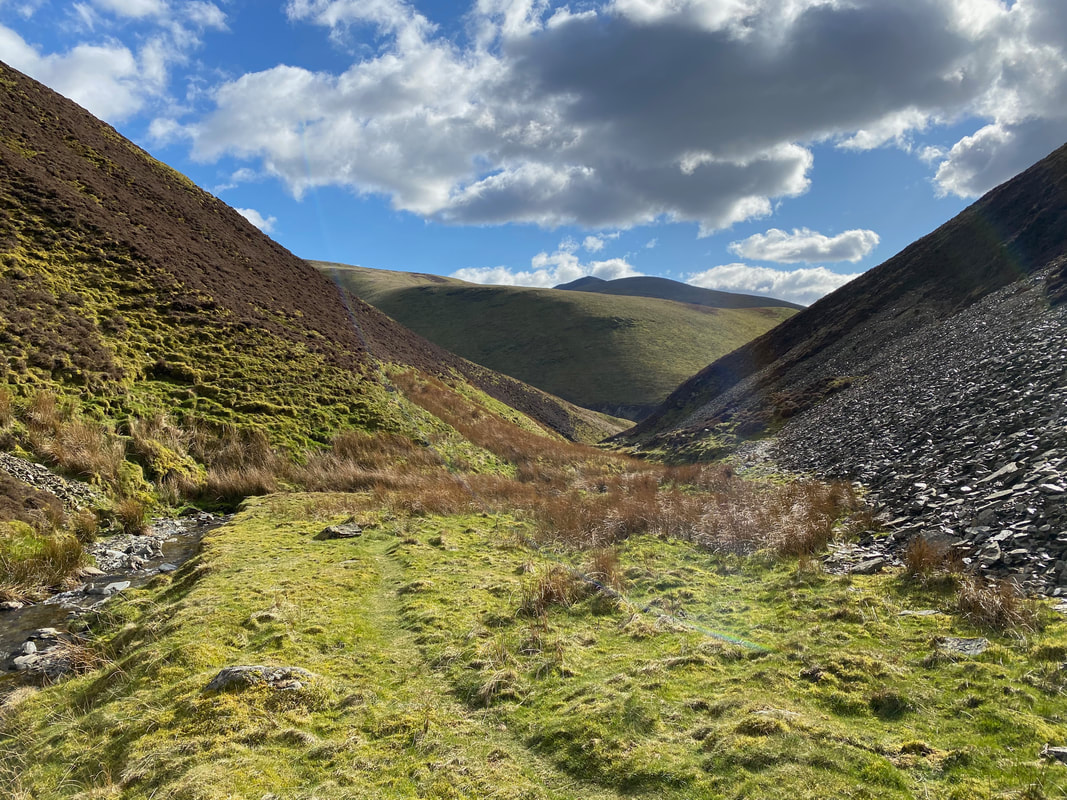
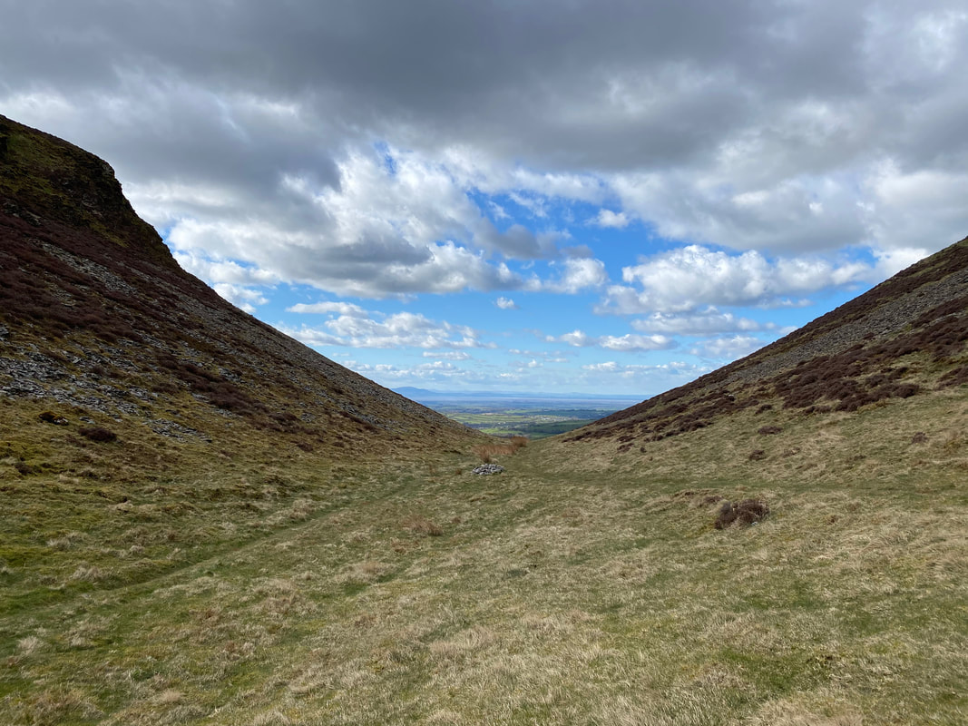
Looking back down the gill to White Hause & Skiddaw
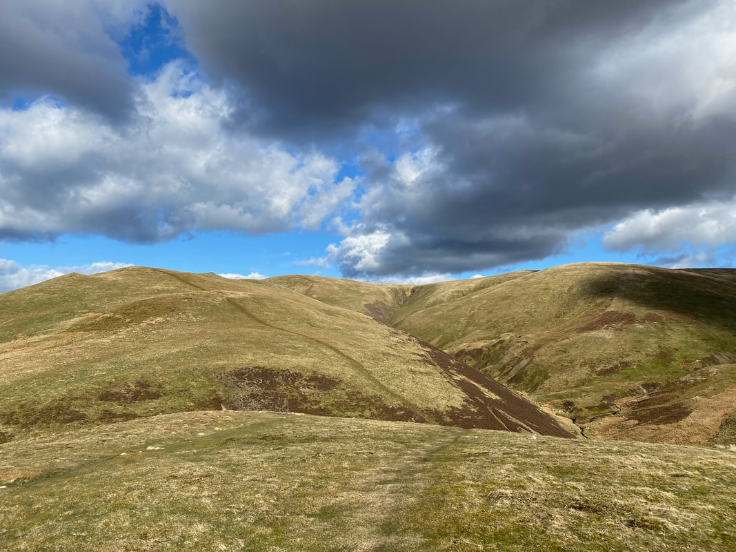
Continuing along the gill with the slopes of Great Cockup over to the left and Meal Fell centre. The pass of Trusmadoor separates the two. The path through the gill was generally good with only the odd eroded section which was easily negotiated.
Trusmadoor - Great Cockup to the left with Meal Fell to the right and straight on to Longlands
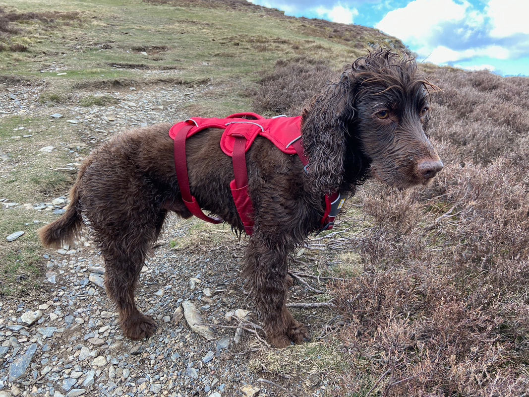
Been in the gill eh Fudge?
Meal Fell & Trusmadoor from the ascent of Great Cockup
Burn Tod
Lowthwaite Fell from Great Cockup
Sometimes it is really hard to keep up with him - he was having a great day today
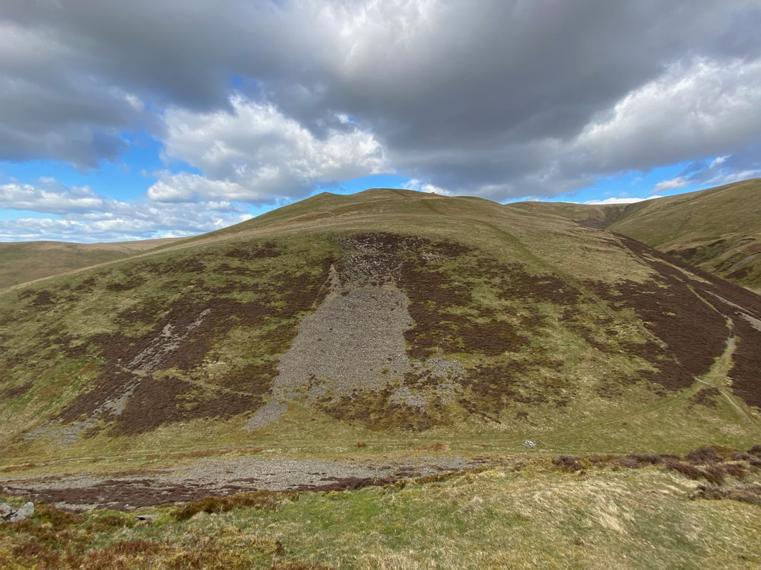
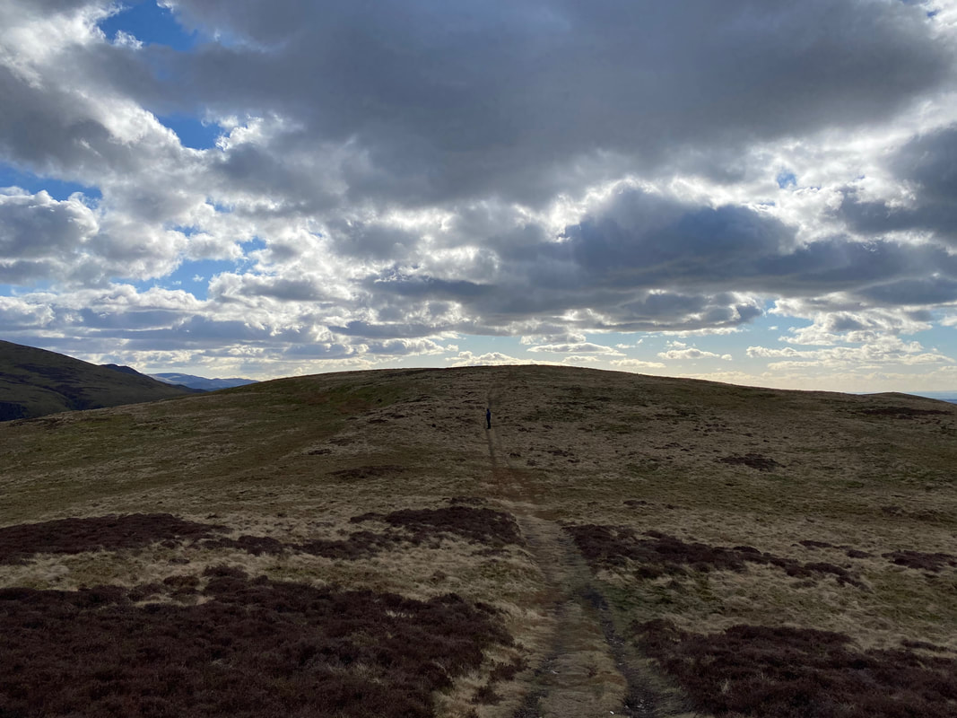
After a short, sharp climb the gradient relents as we look back to Trusmadoor, Meal Fell, Great Sca Fell & Frozenfell Gill
Dark skies as the sun pops behind the clouds on the approach to the summit of Great Cockup
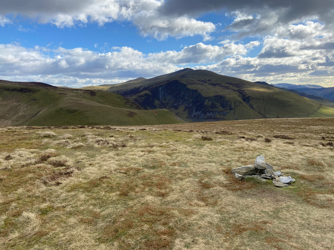
Dead Crags, Bakestall & Skiddaw from the summit of Great Cockup
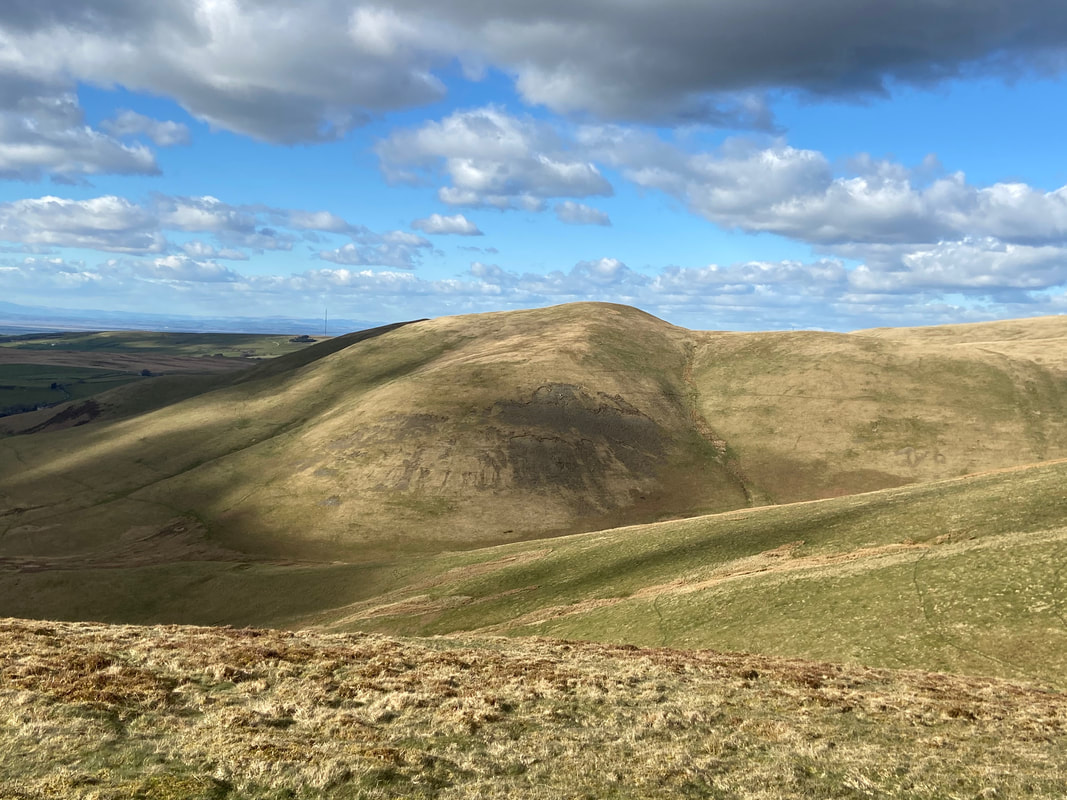
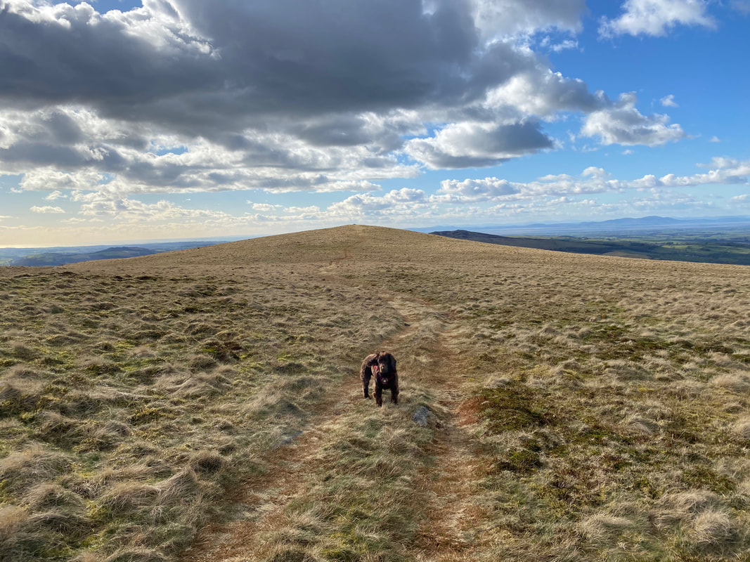
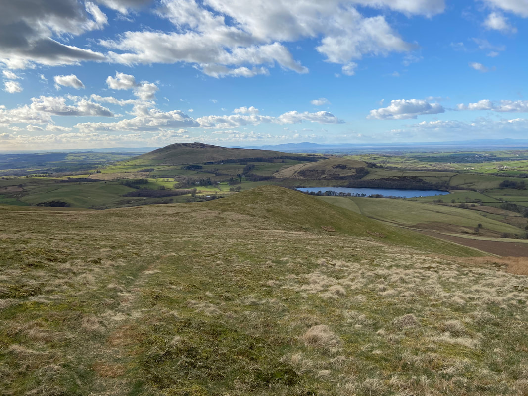
From Great Cockup the route continues to the west to a subsidiary summit seen here in the distance. Binsey peeps up over the top with Criffel to the far right over the Solway Firth.
The spot height top of 466m to the west of Great Cockup looking to Overwater
The route continues to the west over the spot height to shortly turn north west in the direction of Little Cockup
Approaching Little Cockup with Binsey to the rear and Overwater to the right
The summit of Little Cockup looking to Longlands
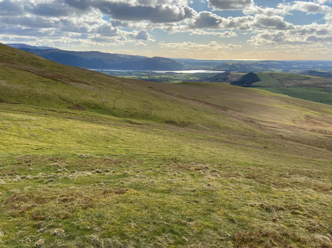
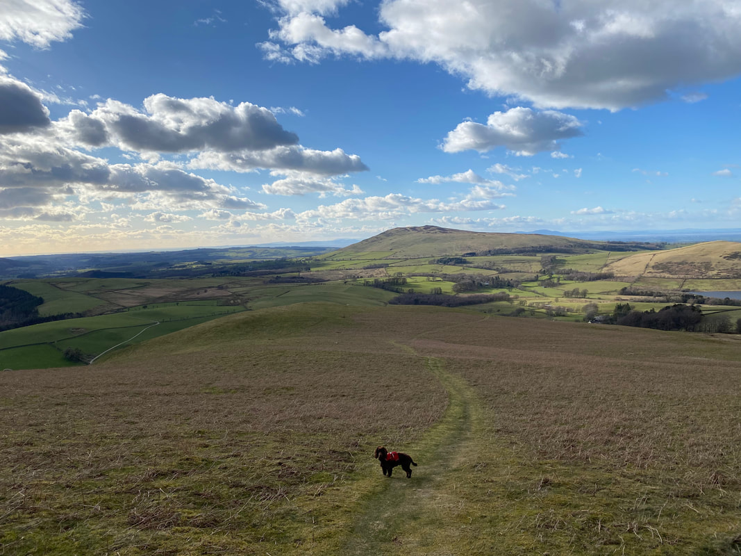
From Little Cockup the route heads along a faint path towards Orthwaite Bank - Bassenthwaite Lake is to the rear
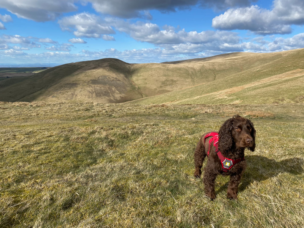
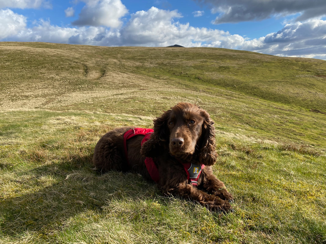
Great to actually capture Fudge sitting still for once
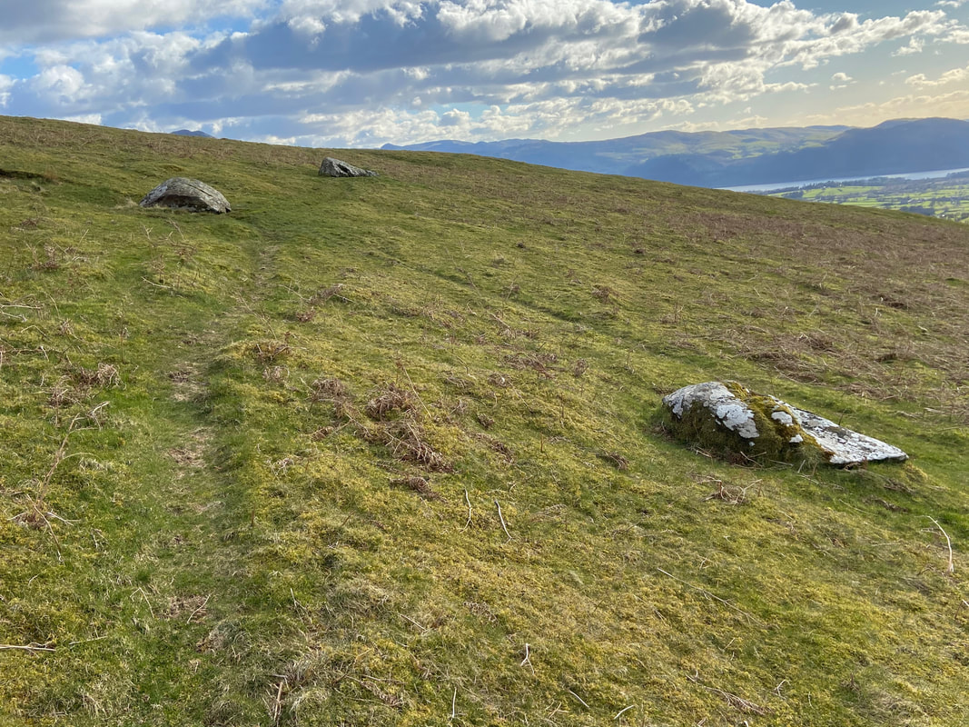
Whilst the route to Orthwaite Bank is readily apparent, these 3 large boulders mark the point where a sharp right turn is made.
The path to Orthwaite Bank - a short detour to the left is required to visit the summit.
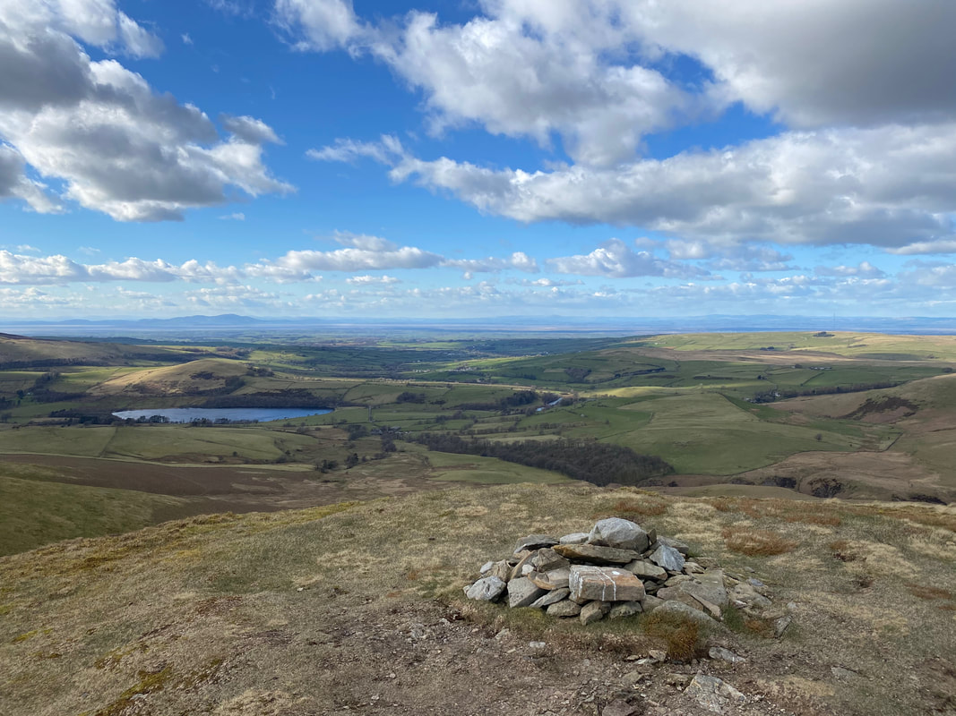
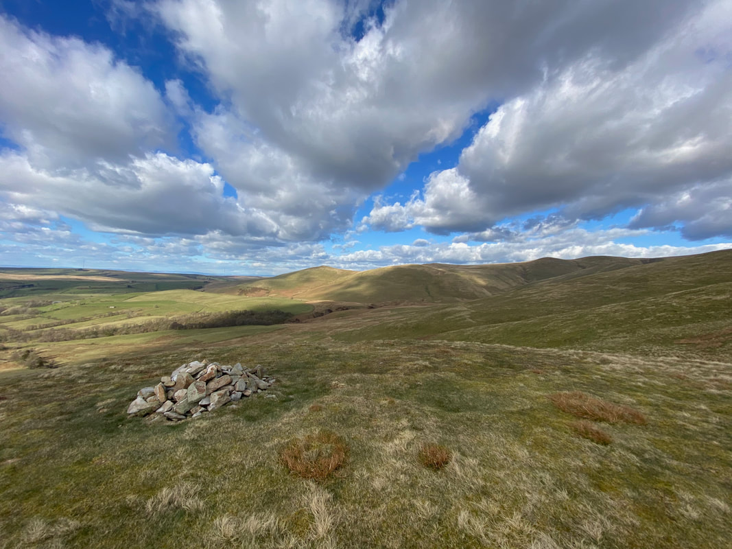
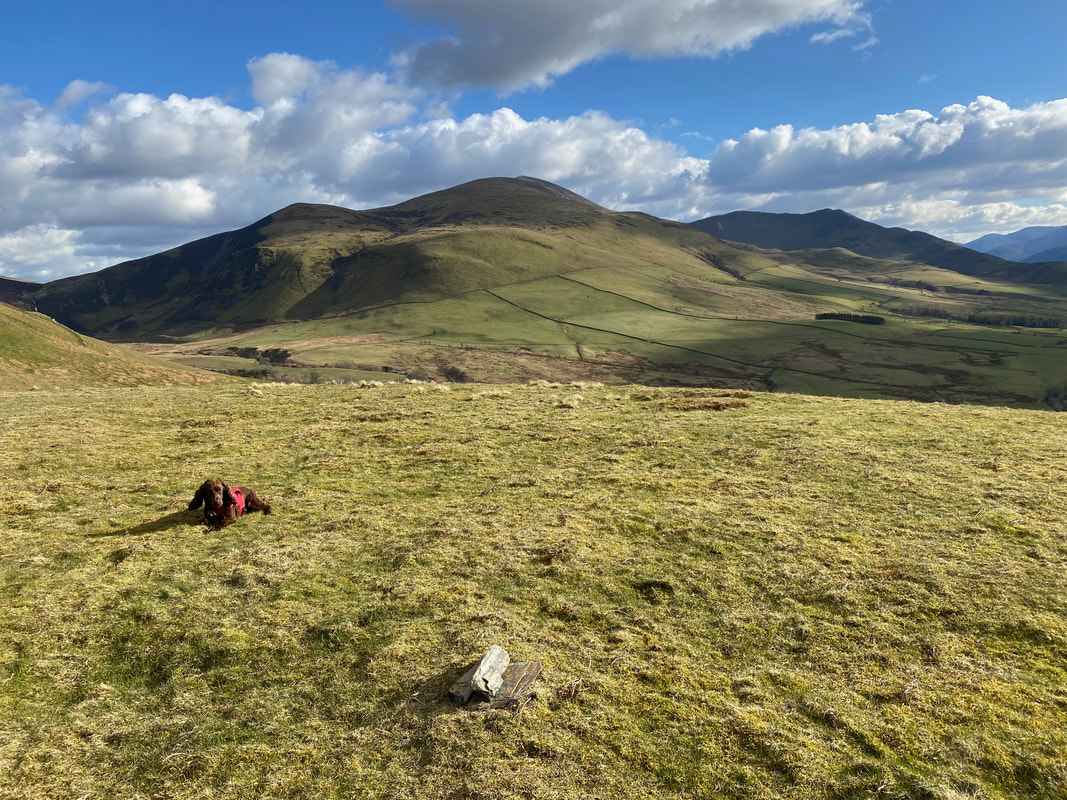
The massive cairn on the summit of Orthwaite Bank. Bakestall, Skiddaw & Ullock Pike provide the backdrop.
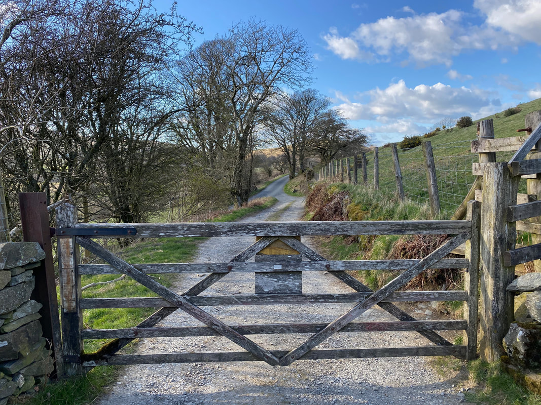
Back at the gate we passed through earlier on to Uldale Commons
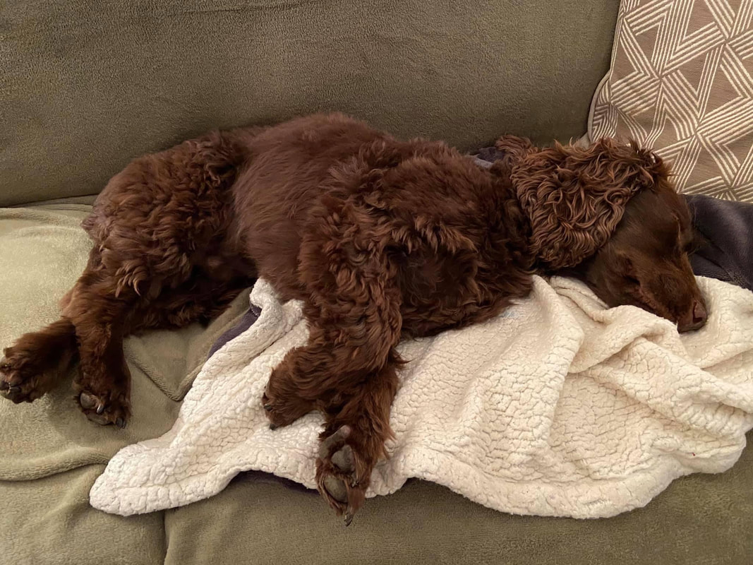
Always a good indication of how good a day Fudge has had
