Mellbreak & Rannerdale Knotts - Thursday 31 October 2019
Route
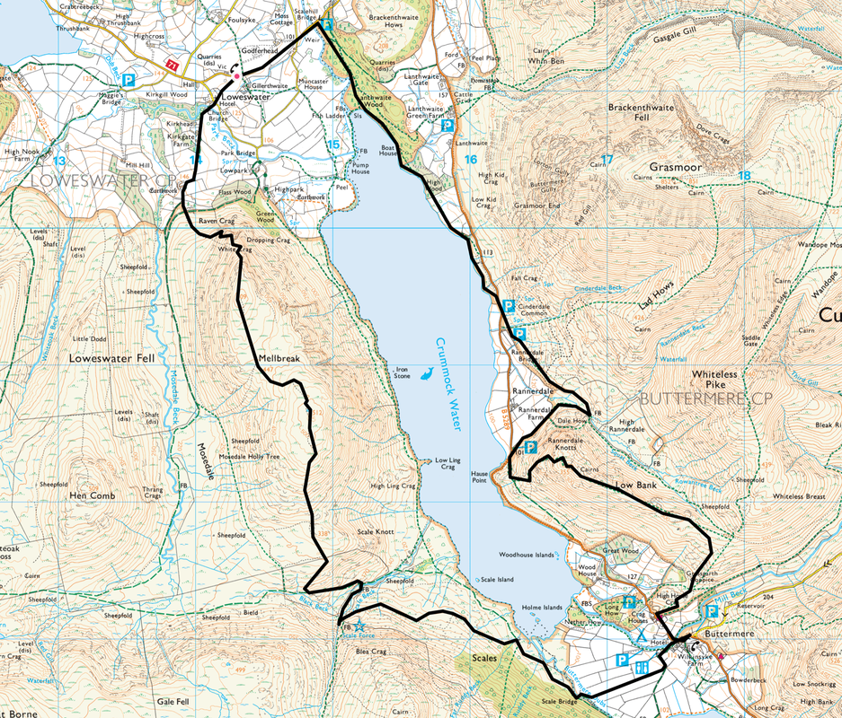
Loweswater - Church Bridge - White Crag - Mellbreak North Top - Mellbreak South Top - Scale Force - Scale Bridge - Buttermere - Low Bank - Rannerdale Knotts - Dale How - Cinderdale Common - Lanthwaite Wood - Loweswater
Parking
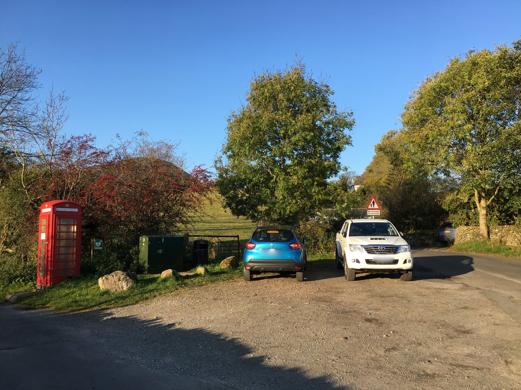
Small parking area by the village telephone box in Loweswater (Free) - Grid Ref NY143211. The nearest postcode is CA13 9UX. Please park sensibly at this location.
Mileage
11.2 miles
Terrain
Mountain paths for the most part with some road walking at the start and end of the walk. The ascent of Mellbreak from the North appears daunting at first but is on a generally good path. There is some scree to negotiate on the early part of the ascent. Care needs to be taken in and around Scale Force because of wet rock. The route down from Rannerdale Knotts to Hause Point is steep therefore take care on the descent.
Weather
Bright & sunny yet bitterly cold on the ridges.
Time Taken
7hrs 15mins
Total Ascent
3015ft (919m)
Wainwrights
2
Map
OL4 The English Lakes (North Western Area)
Walkers
Dave with Jeff Nagle
|
GPX File
|
| ||
If the above GPX file fails to download or presents itself as an XML file once downloaded then please feel free to contact me and I will send you the GPX file via e-mail.
Route Map
There are a few parking areas and Car Parks in and around Loweswater that can be used for this walk.
The parking area we used today was just as you enter the village where there is room for a few cars - however please park sensibly as this is a road junction.
The parking area we used today was just as you enter the village where there is room for a few cars - however please park sensibly as this is a road junction.
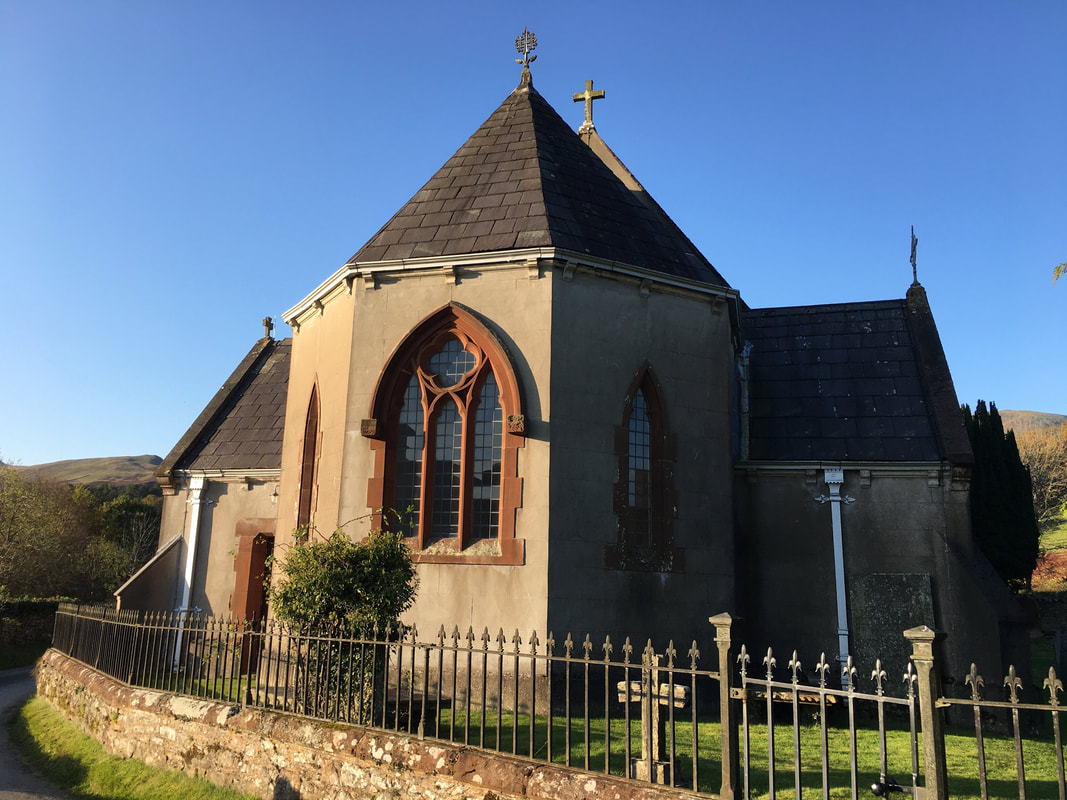
St Bartholemew's Church in Loweswater
The Church here today dates almost entirely from the year 1884, when a small plain Lakeland chapel consecrated in 1829 was extensively enlarged and improved. The work was undertaken because a leadmine was opened at Godferhead, and a vast expansion in population was predicted. In the event, the mine failed, and the population remained static.
The Church here today dates almost entirely from the year 1884, when a small plain Lakeland chapel consecrated in 1829 was extensively enlarged and improved. The work was undertaken because a leadmine was opened at Godferhead, and a vast expansion in population was predicted. In the event, the mine failed, and the population remained static.
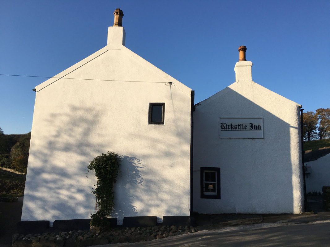
One of the many really good Lakeland pubs in Cumbria and the birthplace of the most excellent "Loweswater Gold"
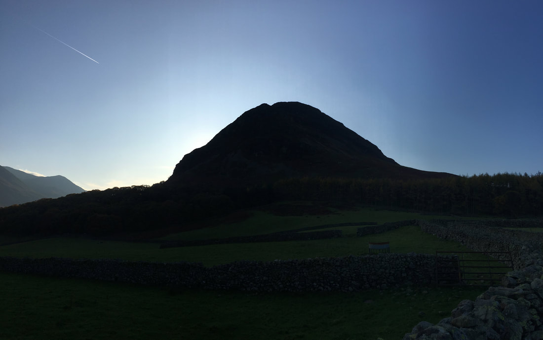
Mellbreak is still under the duvet but will wake up soon
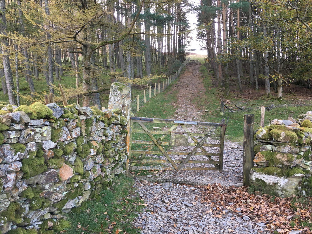
Once past the farm at Kirkgate the route meanders up a rough lane to reach a firebreak between the trees.
We would be heading straight on up the firebreak - the path to the right eventually splits in a few hundred yards with the main path leading left to Scale Force and the right fork crossing Mosedale Beck to head up to Hen Comb.
We would be heading straight on up the firebreak - the path to the right eventually splits in a few hundred yards with the main path leading left to Scale Force and the right fork crossing Mosedale Beck to head up to Hen Comb.
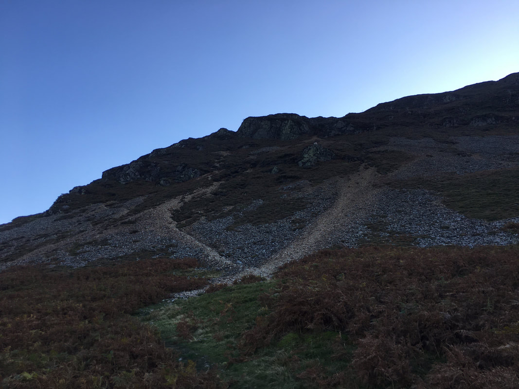
At the foot of the north face of Mellbreak.
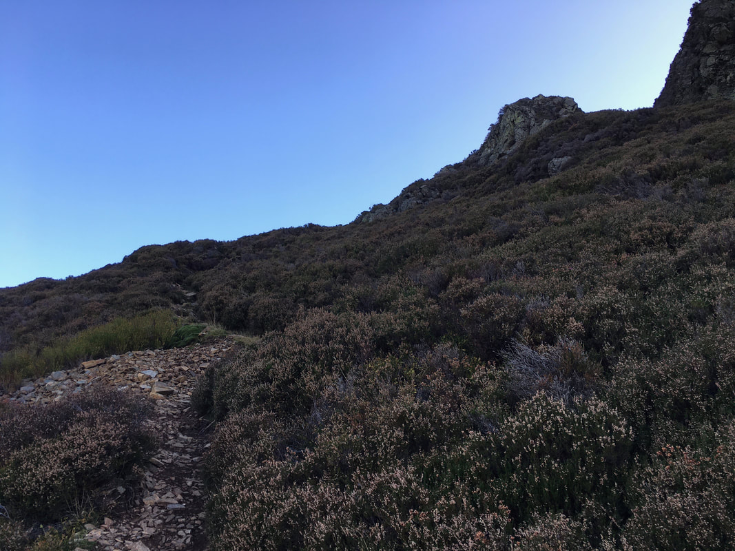
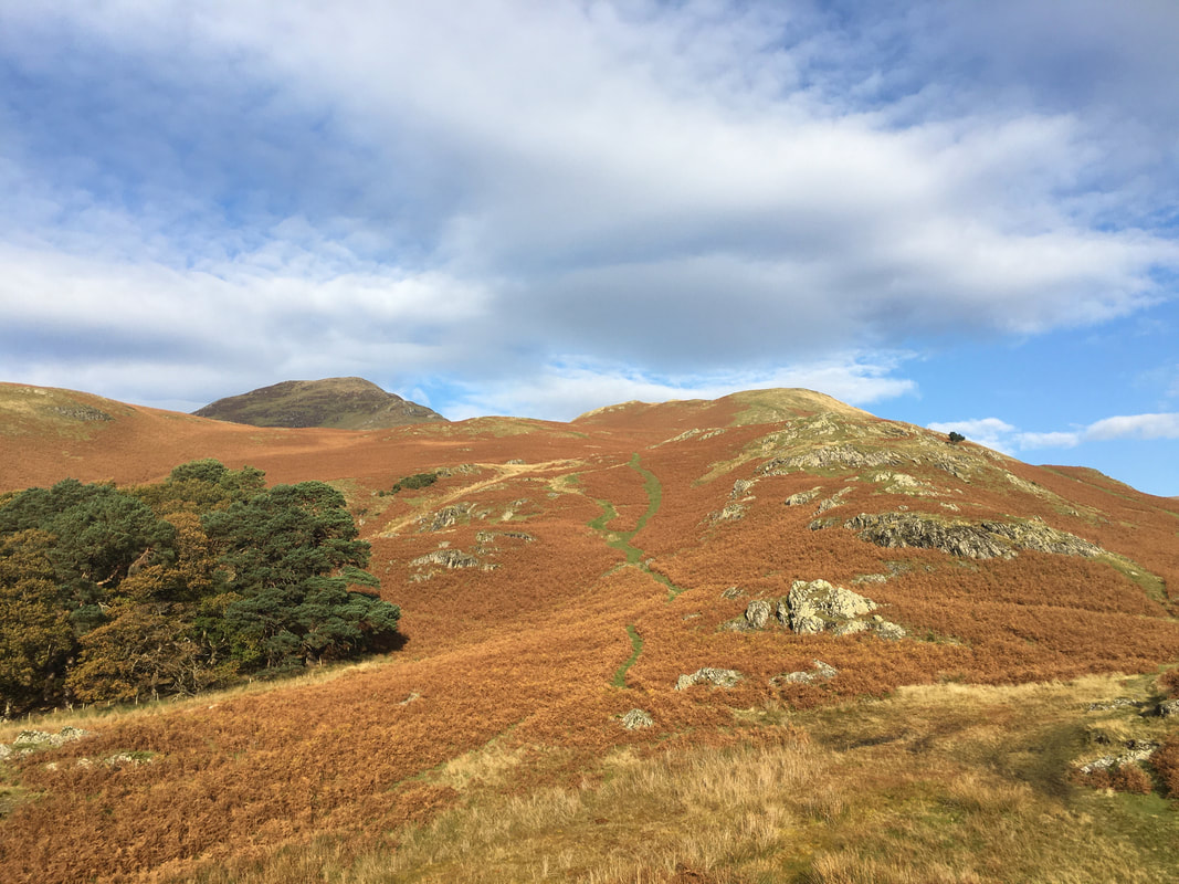
The ascent of the north ridge is a fine way to ascend the fell and is a route we have done many times.
The ascent of the north ridge is a fine way to ascend the fell and is a route we have done many times.
For a few hundred yards the path is over loose scree therefore just take your time as the gradient is steep in places
Whilst the ascent is steep, remember to pause for breath and look back over your shoulder.
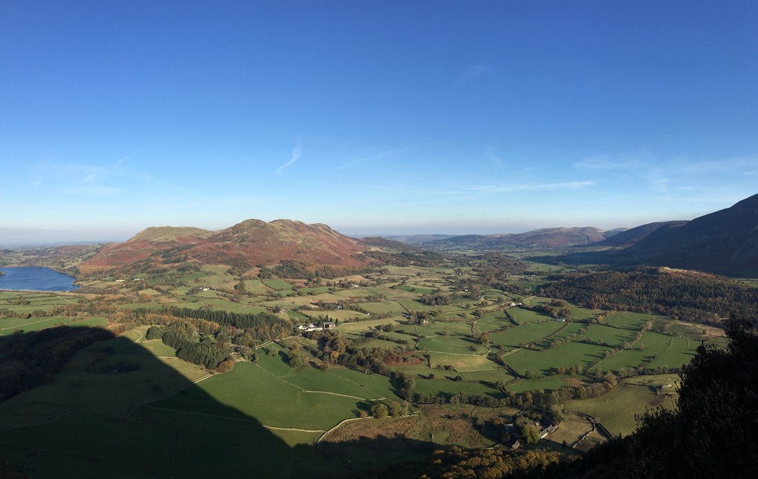
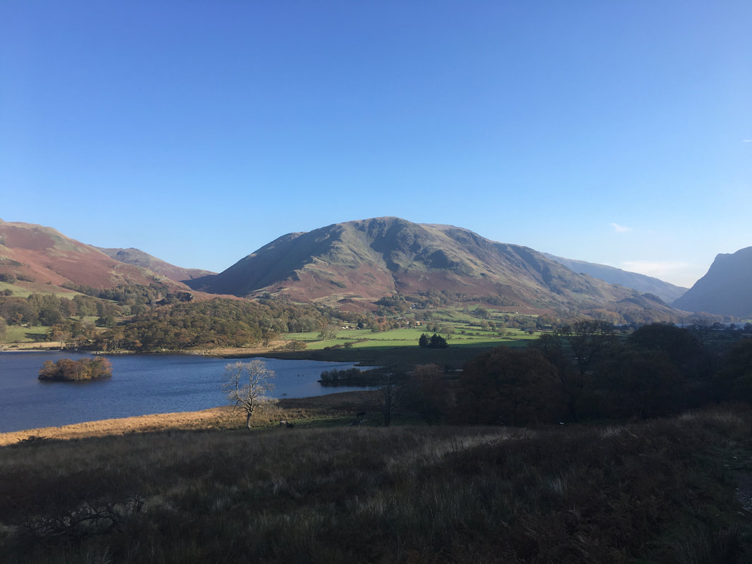
Looking over the Vale of Lorton to Darling Fell & Low Fell with Loweswater to the left.
Looking over the Vale of Lorton to Darling Fell & Low Fell with Loweswater to the left.
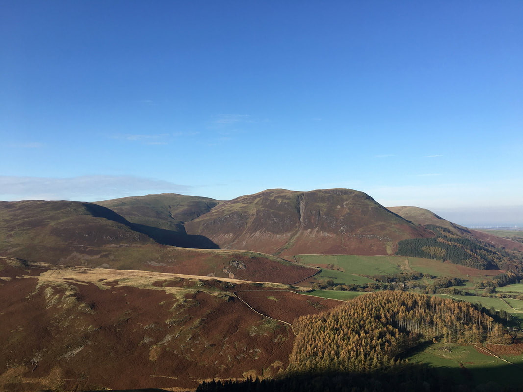
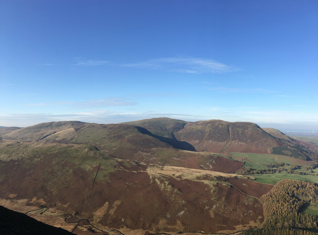
A little further around to the left and Blake Fell, Carling Knott & Burnbank Fell come into view
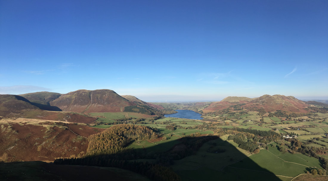
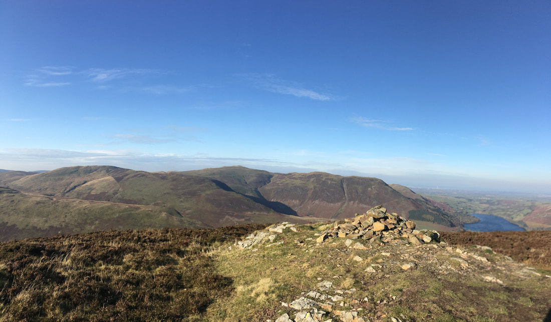
A nice panorama of the view back as we ascend the north ridge of Mellbreak
To the left is the Vale of Lorton and the northern tip of Crummock Water with Whiteside and Grasmoor providing the backdrop
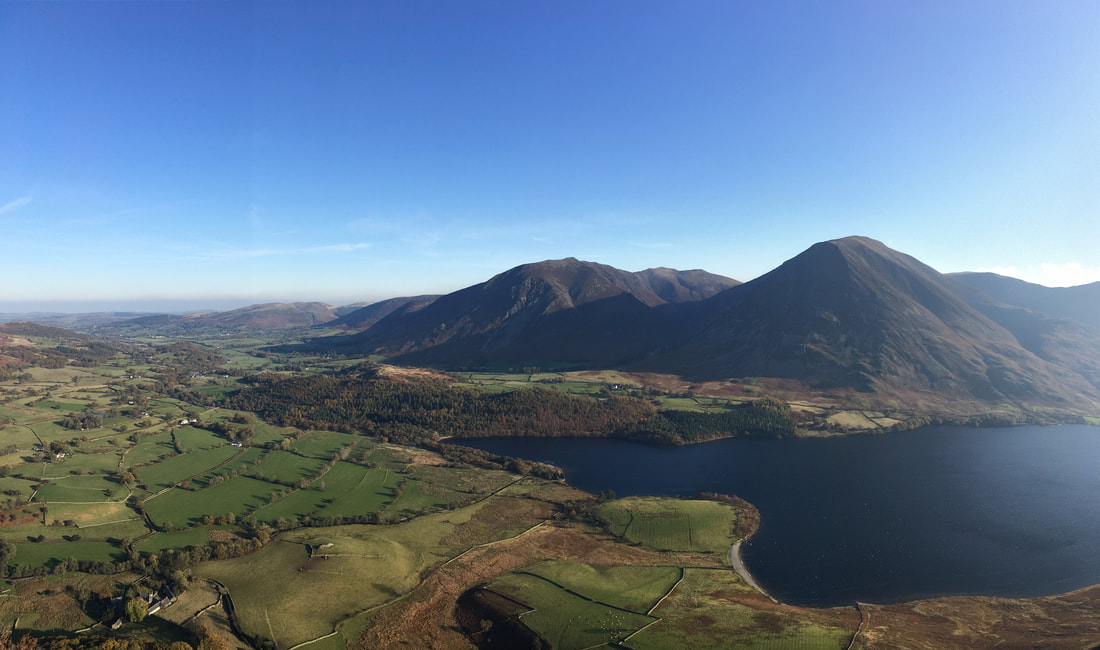
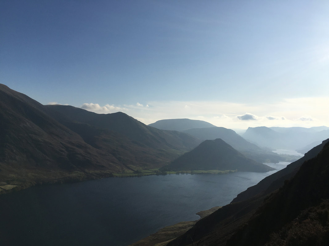
A view down Crummock Water from Wainwright's 'a lovely peep around a corner' (Mellbreak 4 & 5). From the main path up Mellbreak, a vague path veers slightly left to visit this lovely spot that gives a fantastic vista down to Crummock & Buttermere
Little Dodd on Hen Comb, Gavel Fell, Blake Fell, Carling Knott & Burnbank Fell
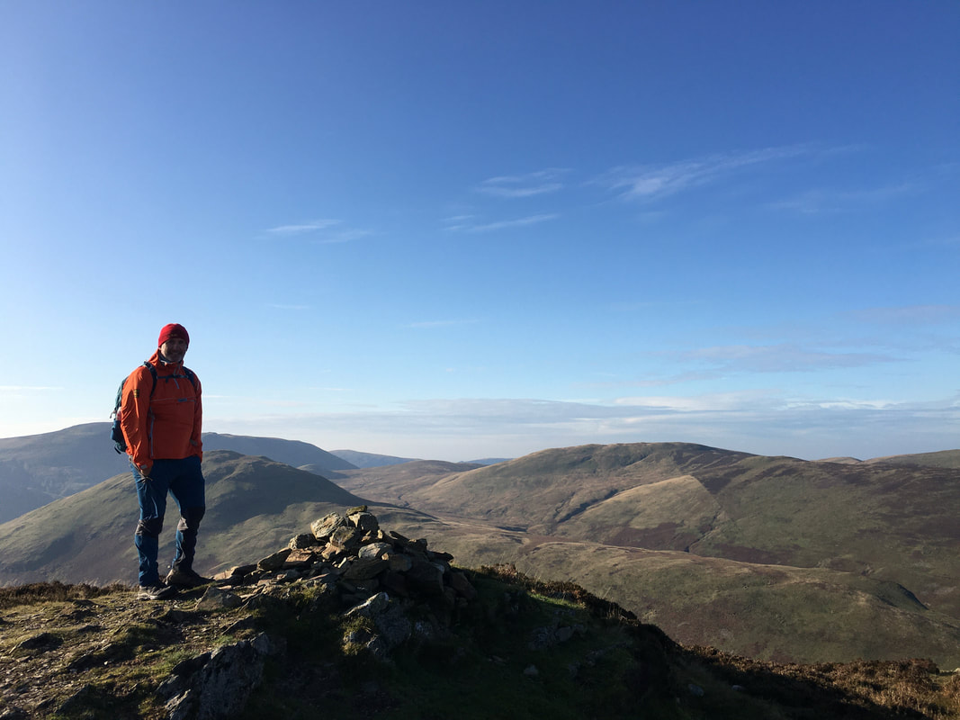
Jeff on the north top summit of Mellbreak - Hen Comb is directly behind him
The north top summit of Mellbreak
From the north top we headed across a wide grassy depression to reach the true summit of the fell on the south top.
The south top of Mellbreak - there used to be a cairn here but it has disappeared for some reason
Descending Mellbreak's south ridge towards Scale Force.
The fell to the left is Scale Knott.
The fell to the left is Scale Knott.
Crossing the footbridge over Scale Beck
Grasmoor, Thirdgill Head Man, Whiteless Pike & Rannerdale Knotts over Crummock Water
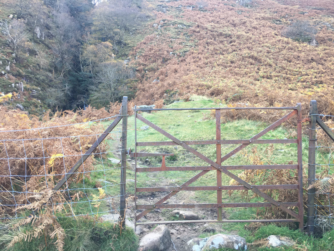
Nearing Scale Force the path continues through a gate
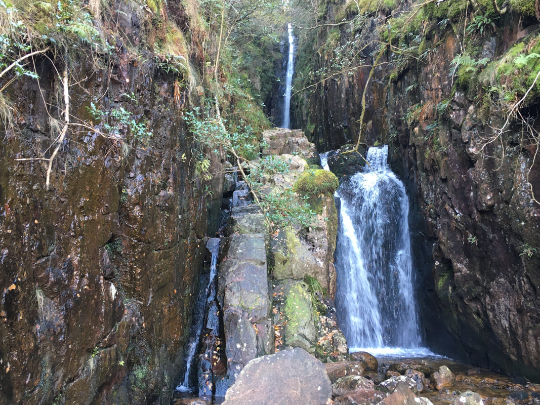
Scale Force
Scale Force is considered the highest waterfall in the Lake District. Opinions vary about how its precise height is calculated, but the total height is normally stated as 170 feet.
Scale Force is considered the highest waterfall in the Lake District. Opinions vary about how its precise height is calculated, but the total height is normally stated as 170 feet.
Looking towards the village of Buttermere over Crummock Water with High Snockrigg & Robinson to the rear
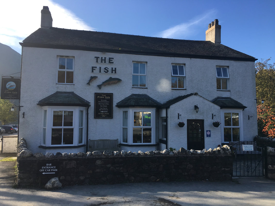
One of two very good pubs in Buttermere
As of 2020 The Fish is under new management and is now called The Buttermere Court Hotel
As of 2020 The Fish is under new management and is now called The Buttermere Court Hotel
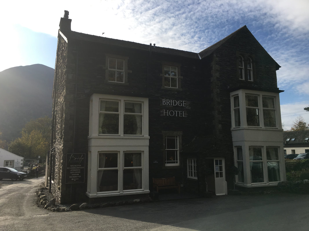
The Bridge Hotel in Buttermere - does a good pint and an excellent Fish & Chips
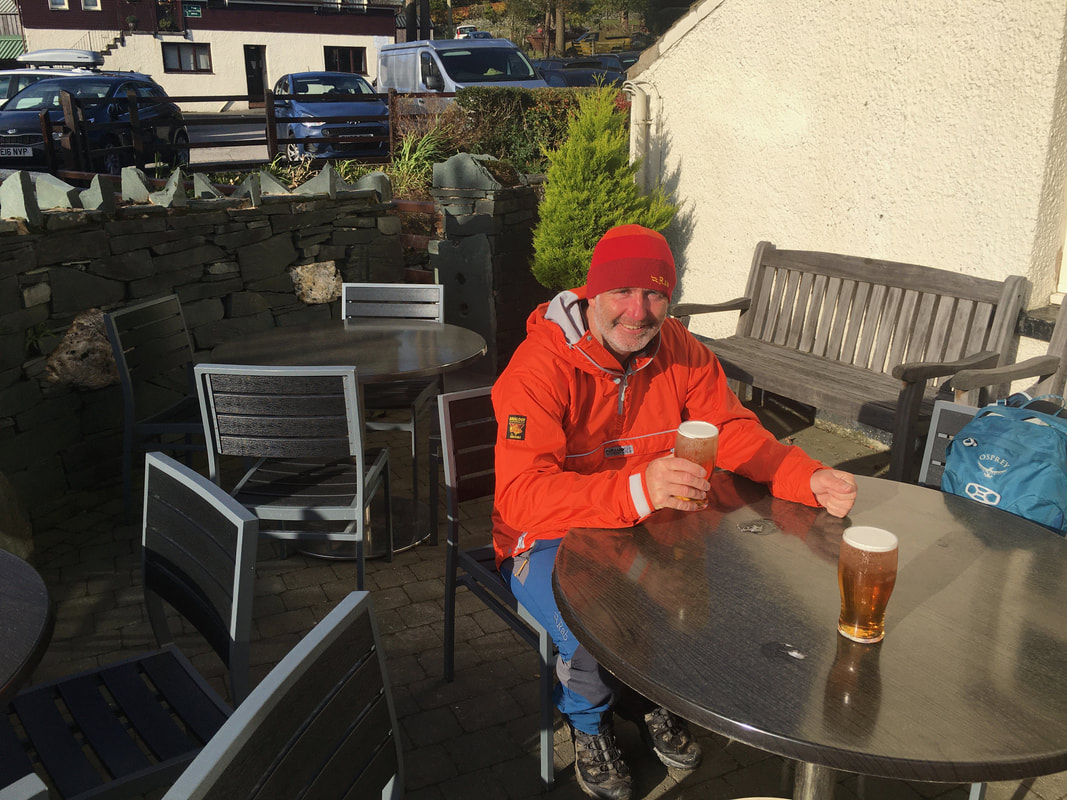
Half way round and we celebrated with a nice alfresco pint at The Bridge - cheers Jeff!
Looking to High Snockrigg
Ordinarily the route to Rannerdale Knotts does not need to come this way however I wanted to show Jeff the beautiful St James Church.
Ordinarily the route to Rannerdale Knotts does not need to come this way however I wanted to show Jeff the beautiful St James Church.
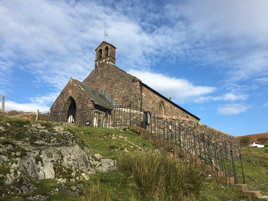
St James Church in Buttermere
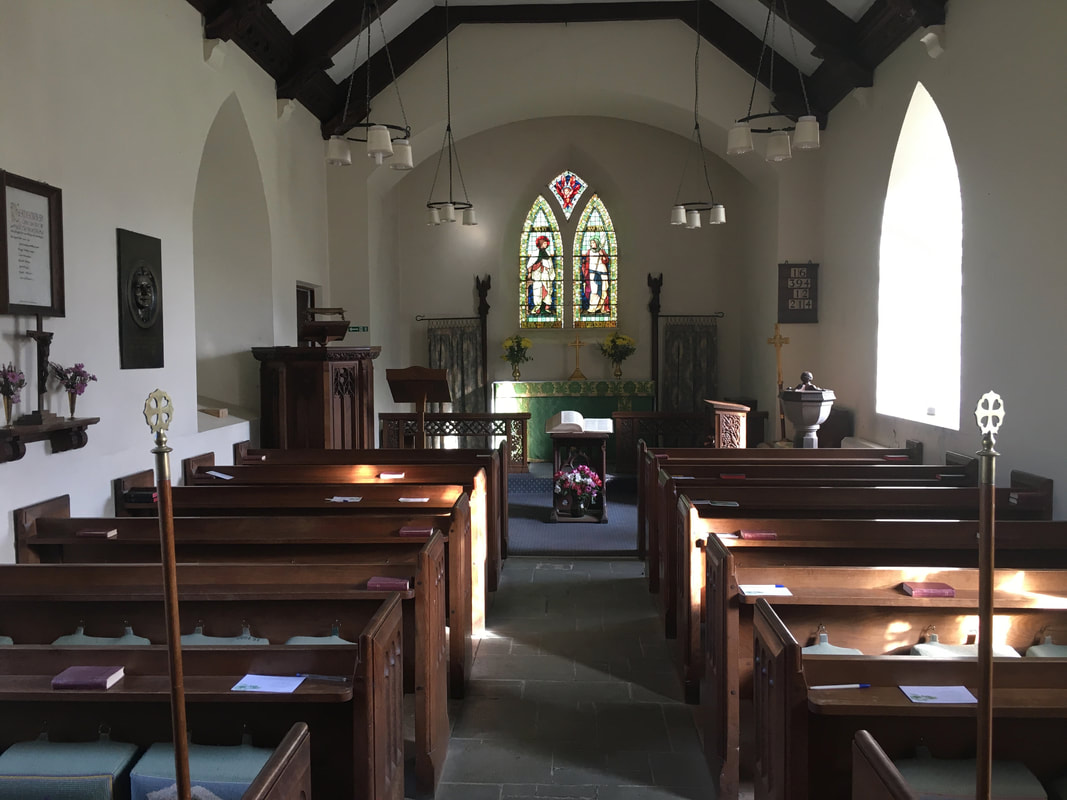
The inside of the church is beautifully kept and is certainly worth a visit.
Wordsworth himself said "A man must be very unsensible who would not be touched at the sight of the chapel of Buttermere".
Wordsworth himself said "A man must be very unsensible who would not be touched at the sight of the chapel of Buttermere".
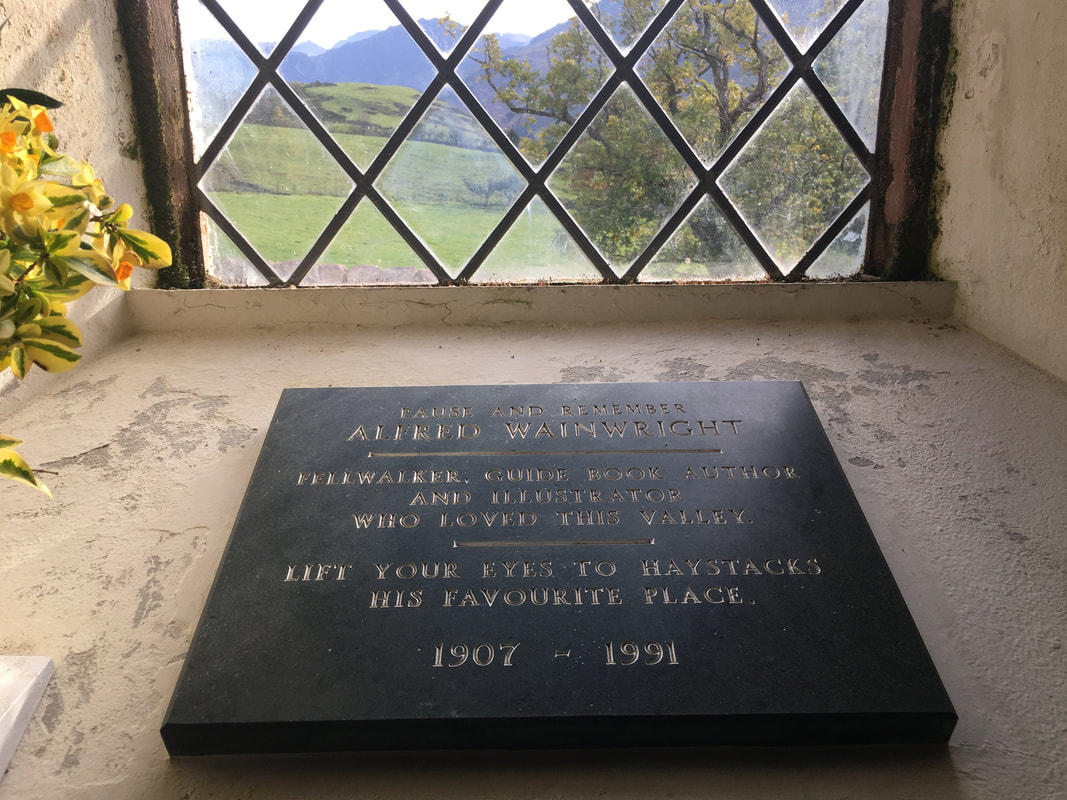
The commemoration to Wainwright inside St James Church.
The view from the window looks to Haystacks where his ashes are scattered at Innominate Tarn.
The view from the window looks to Haystacks where his ashes are scattered at Innominate Tarn.
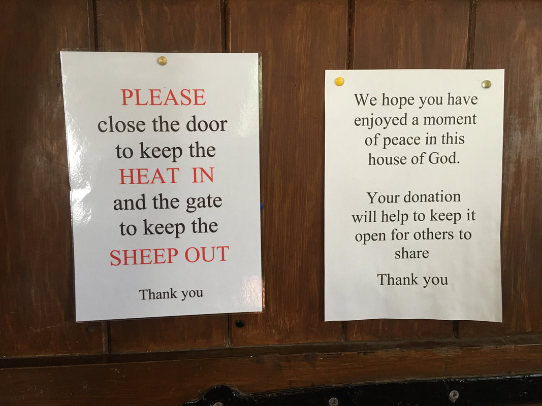
Amusing signage at the church entrance - if you do visit then maybe drop a few quid in the donation box.
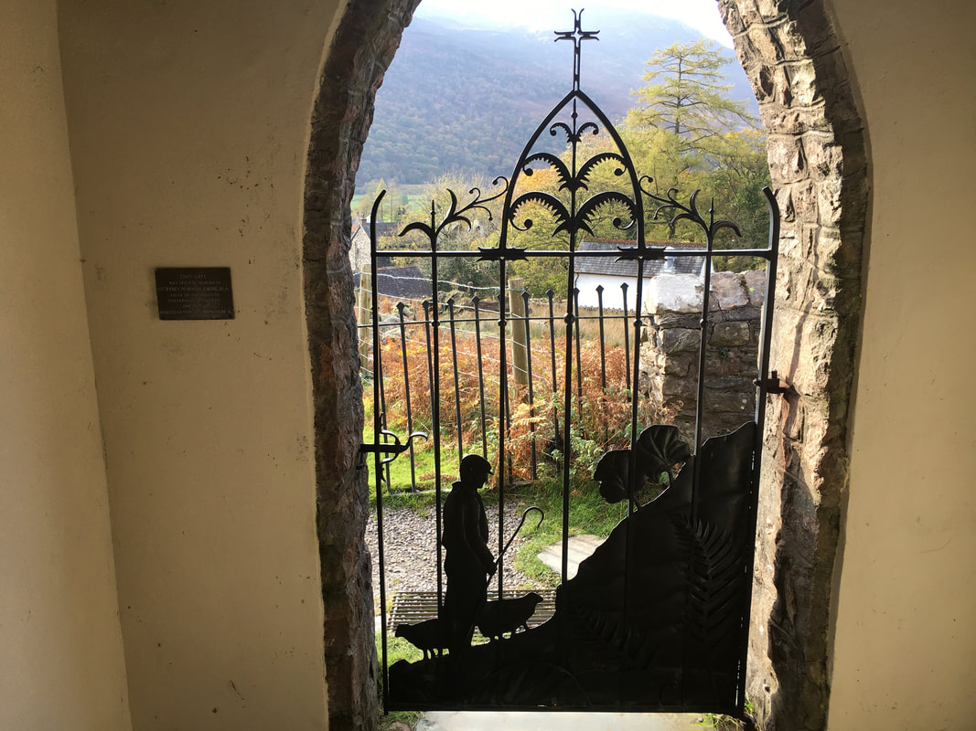
The ornate metal gate at the entrance/exit to the church
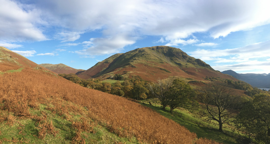
Another view of High Snockrigg as we start the ascent of Rannerdale Knotts. Knott Rigg is the fell to the left.
The path to Rannerdale Knotts looking to Whiteless Pike.
The route heads up to the ridge line then turns sharp left to head above Low Bank.
The route heads up to the ridge line then turns sharp left to head above Low Bank.
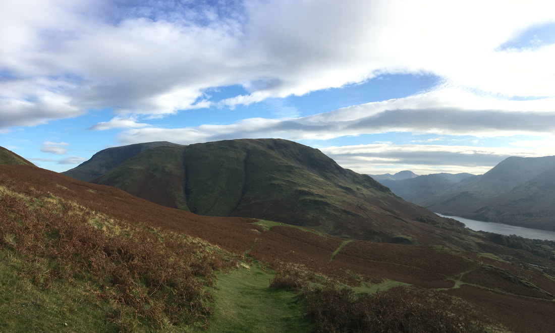
Mellbreak, Rannerdale Knotts & Whiteless Pike
Up on the ridge now heading to Rannerdale Knotts looking back to High Snockrigg & Robinson
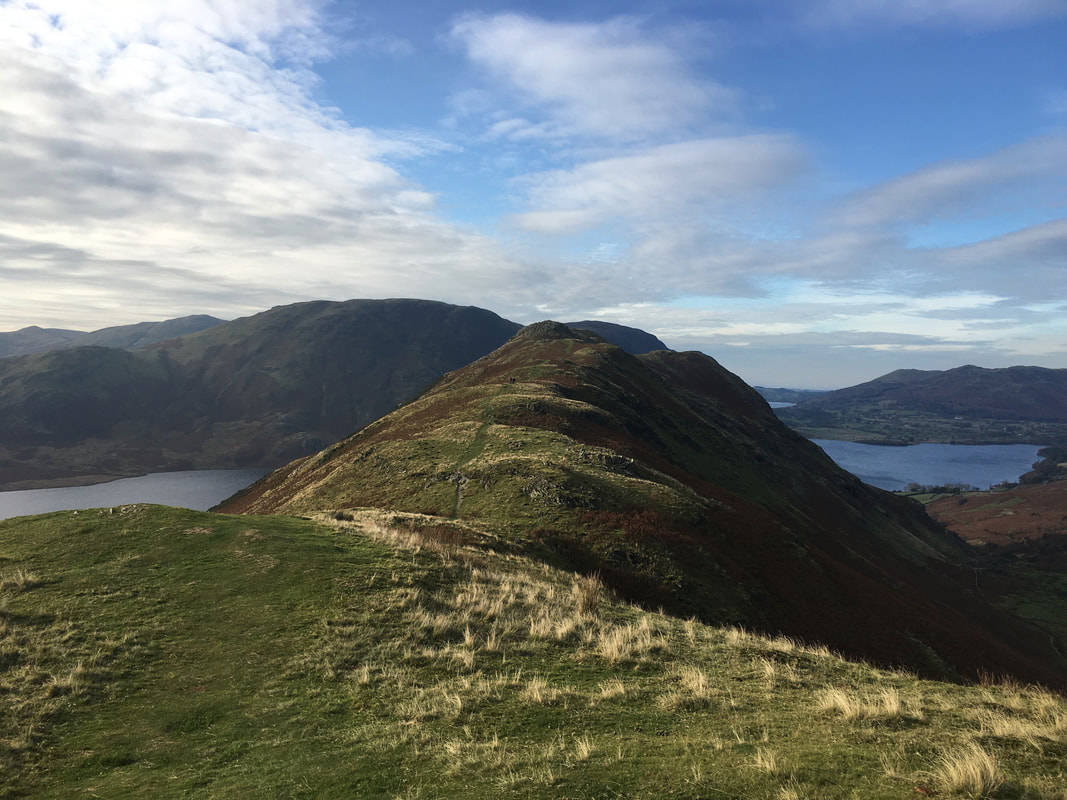
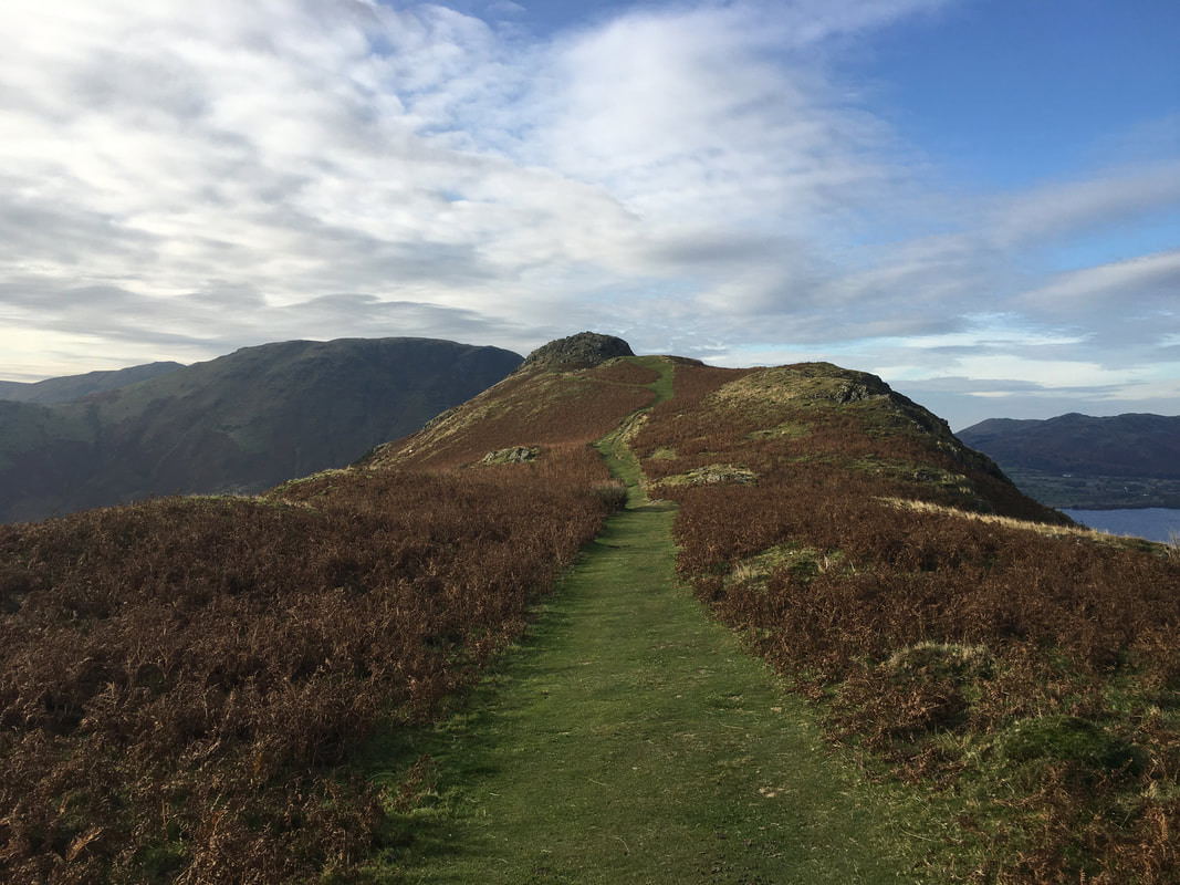
The ridge walk to Rannerdale Knotts is a delightful amble.
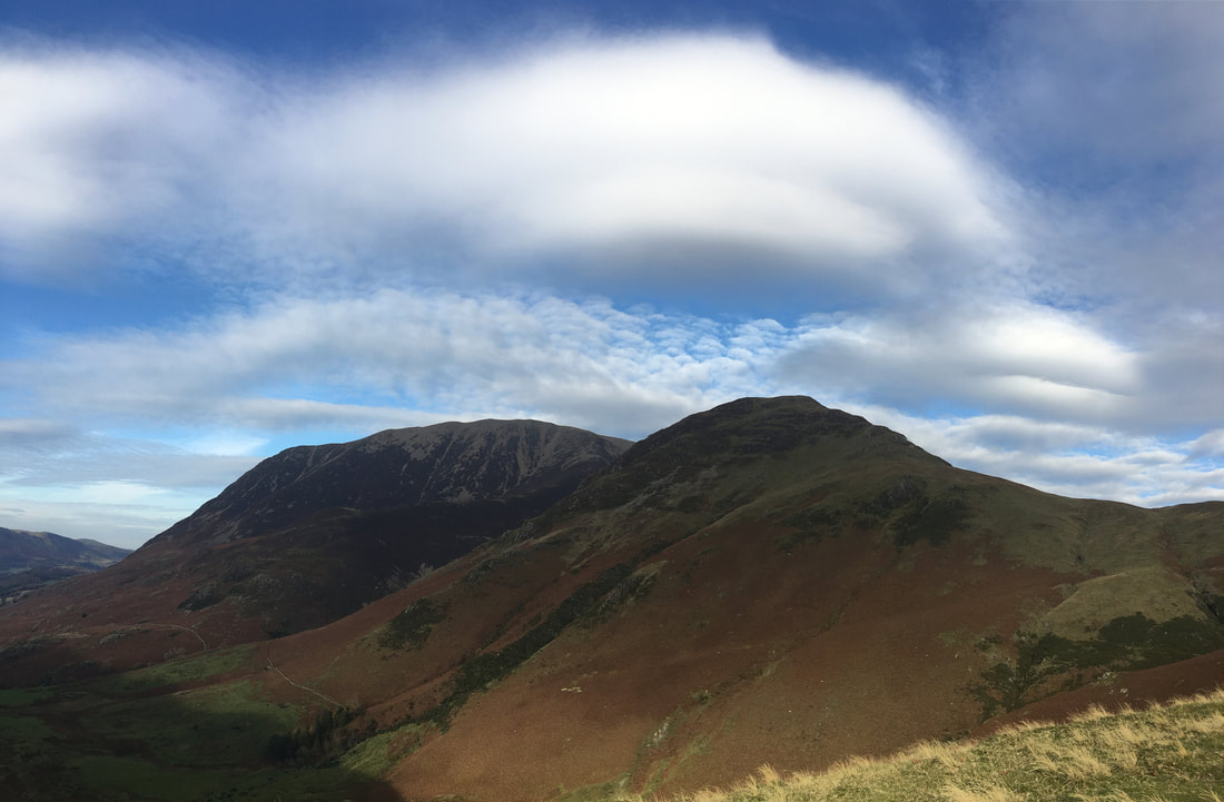
Grasmoor & Whiteless Pike
The summit of Rannerdale Knotts now in view
The summit of Rannerdale Knotts
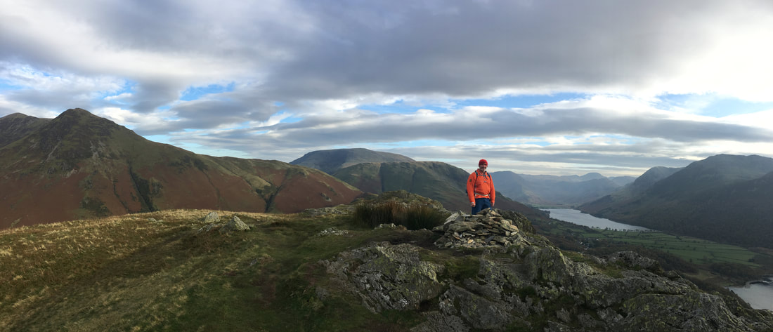
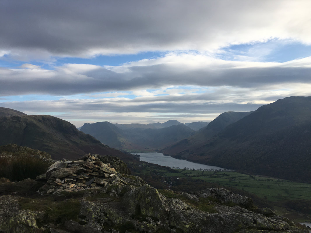
Rannerdale Knotts summit looking down Buttermere
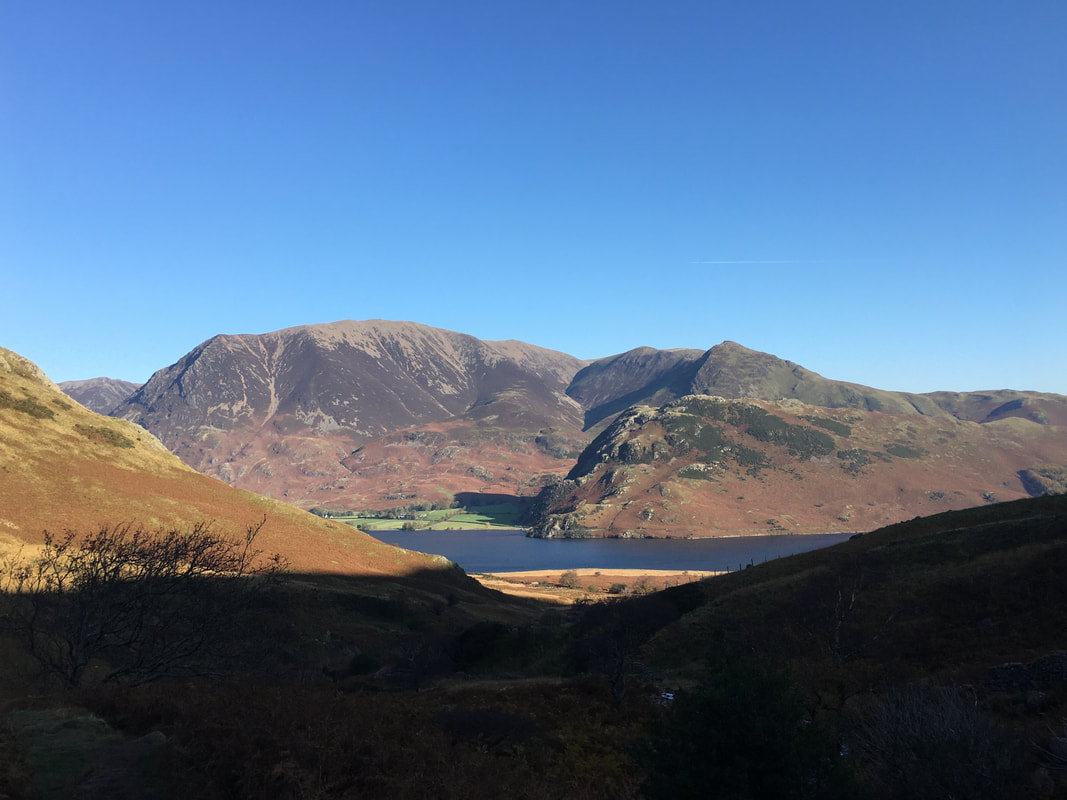
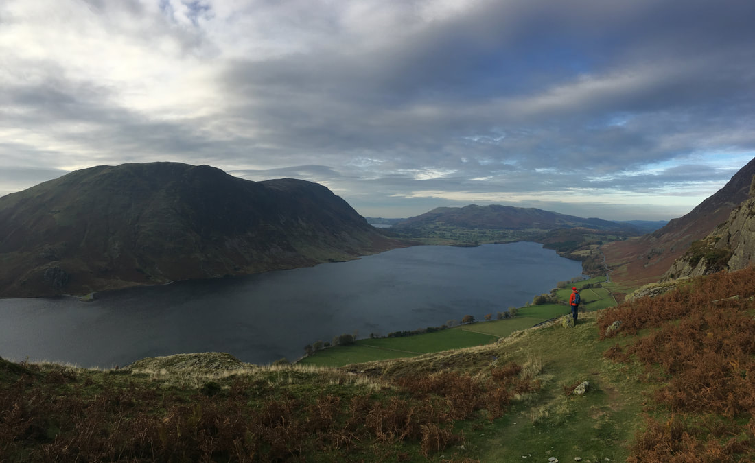
Mellbreak & Crummock Water from Rannerdale Knotts
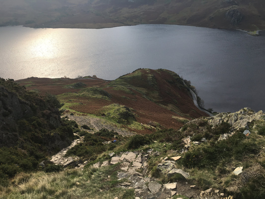
The descent from Rannerdale Knotts to Hause Point is very steep therefore care needs to be taken
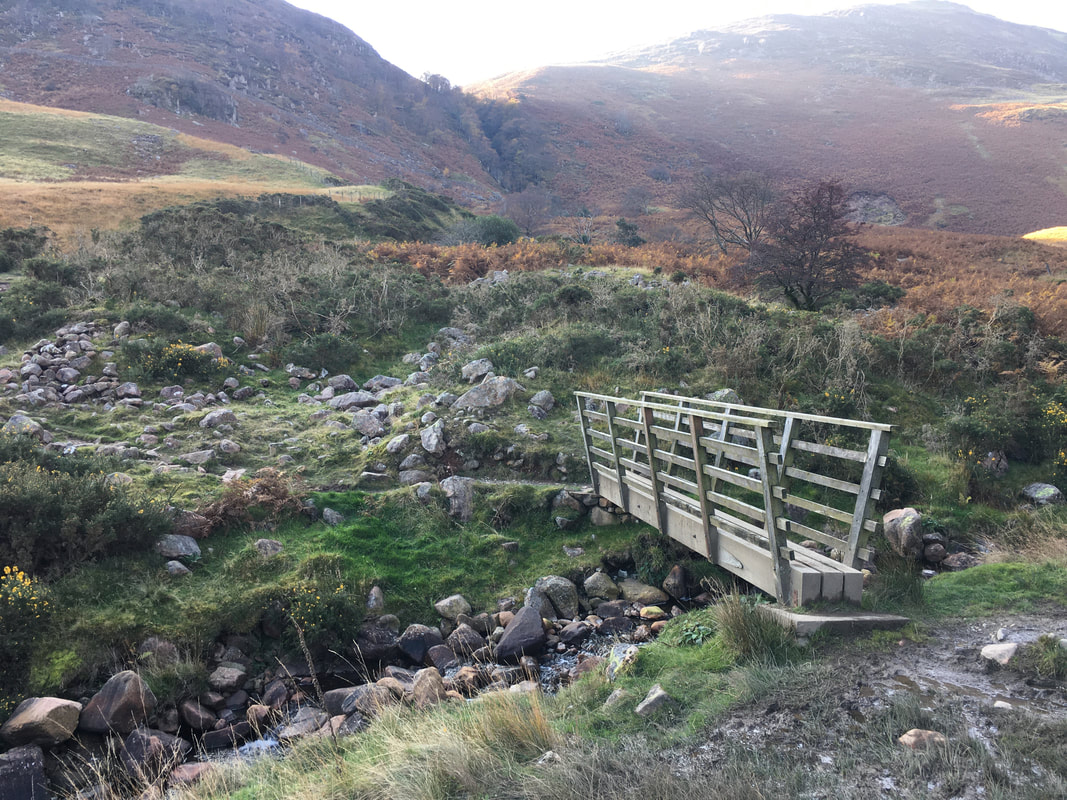
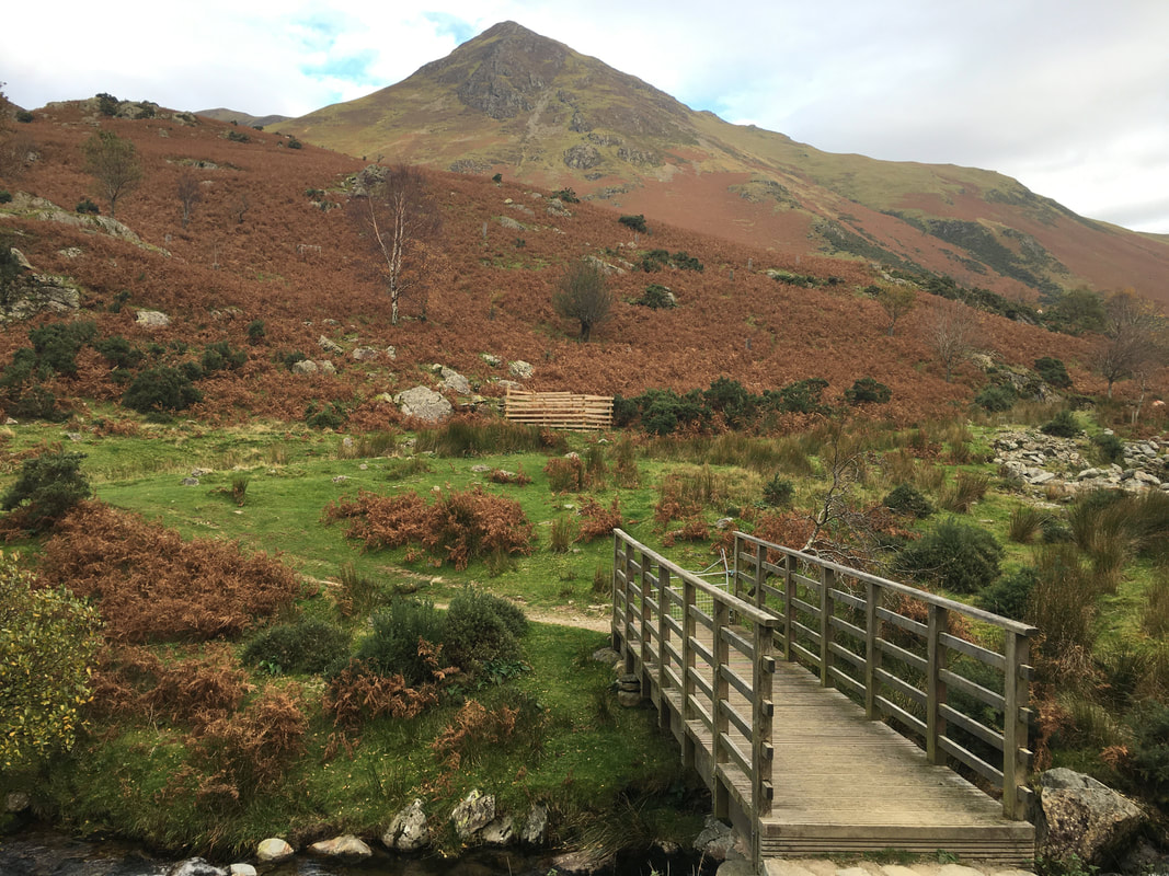
The bridge over Squat Beck
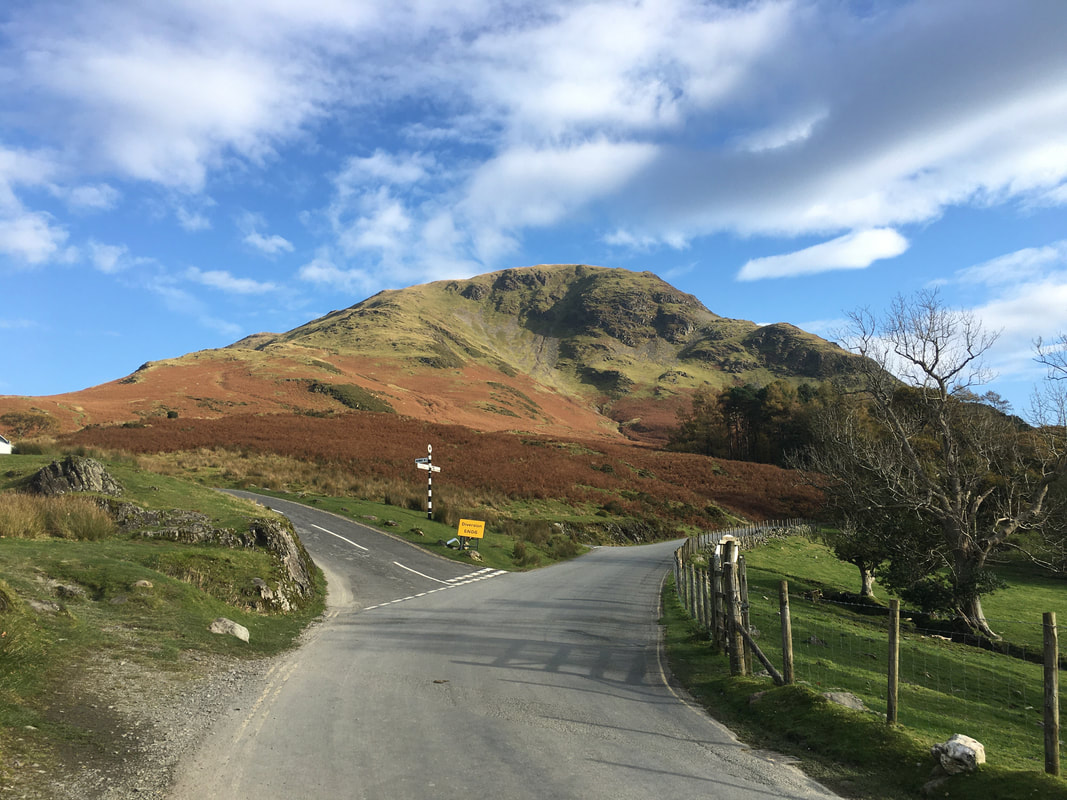
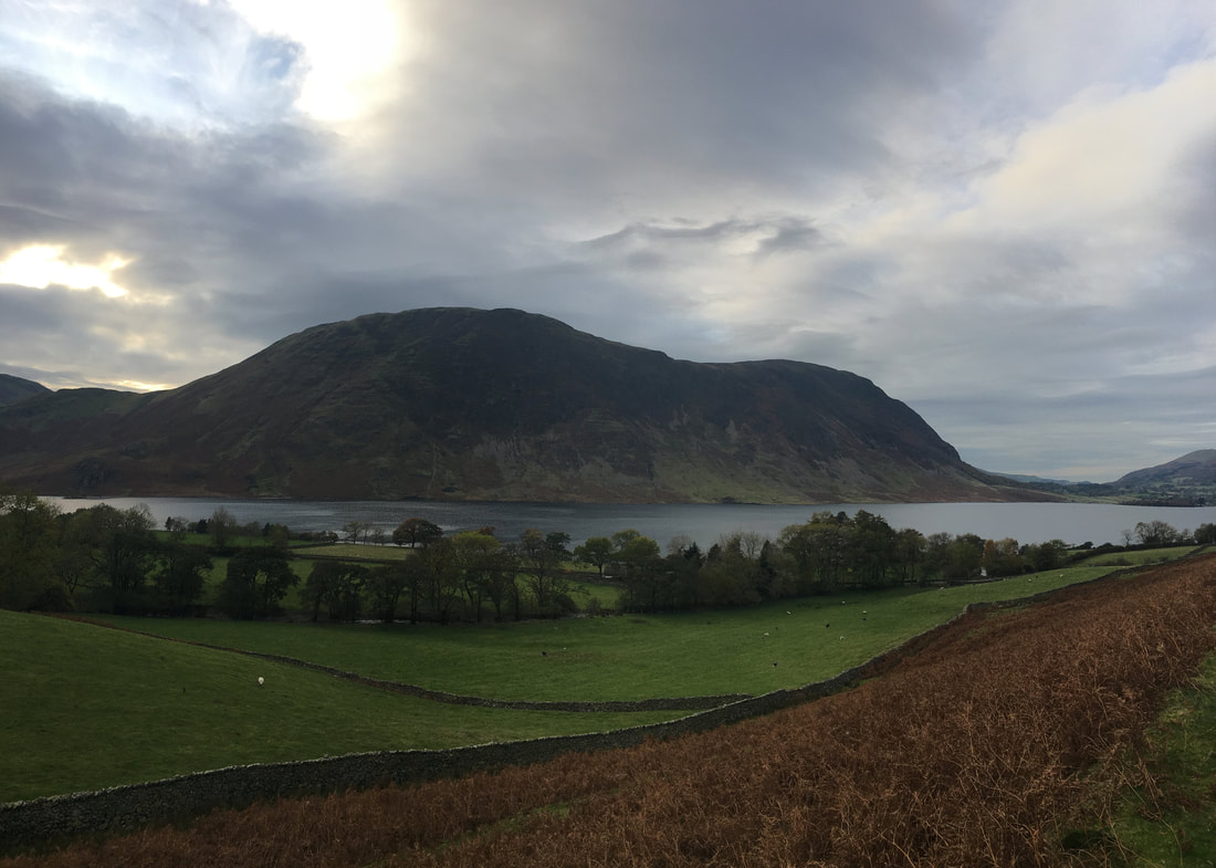
A last look at Mellbreak as dusk starts to fall
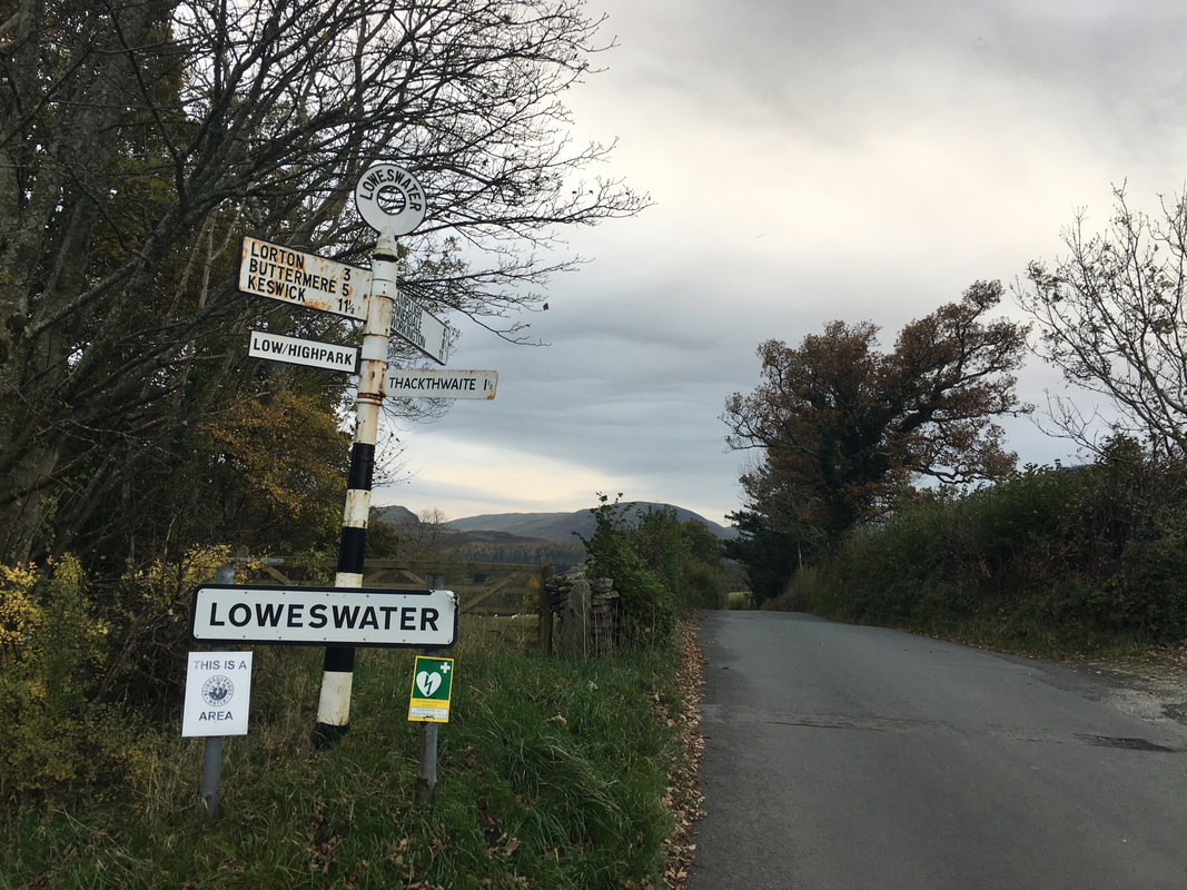
Back at Loweswater after another cracking day on the fells - thanks for your company today Jeff.
