Langdon Beck to Dufton via High Cup & Backstone Edge - Thursday 13 August 2020
Route
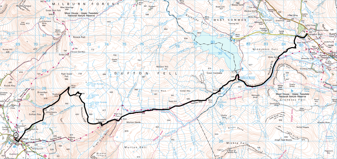
Langdon Beck - Widdy Bank - Holmwath - Falcon Clints - Cauldron Snout - Birkdale - Maize Beck - High Cup - Narrowgate Beacon - Backstone Edge - Threlkeld Side - Dufton
Parking
We left one car at the Langdon Beck Hotel as we stayed there the previous night. We parked our other car in Dufton.
Mileage
15.8 miles
Terrain
The majority of this route follows The Pennine Way therefore the terrain is on well established paths. However the section beneath Falcon Clints is bouldery and in wet conditions care needs to be taken. There is a short scramble up the right hand side of Cauldron Snout which necessitates hand on rock but is not overly exposed or difficult.
Weather
Warm and sunny with the odd light breeze. Visibility was excellent throughout.
Time Taken
7hrs 20mins
Total Ascent
1259ft (384m)
Map
OL19 - Howgill Fells & Upper Eden Valley
Walkers
Dave, Angie & Fudge
|
GPX File
|
| ||
If the above GPX file fails to download or presents itself as an XML file once downloaded then please feel free to contact me and I will send you the GPX file via e-mail.
Route Map
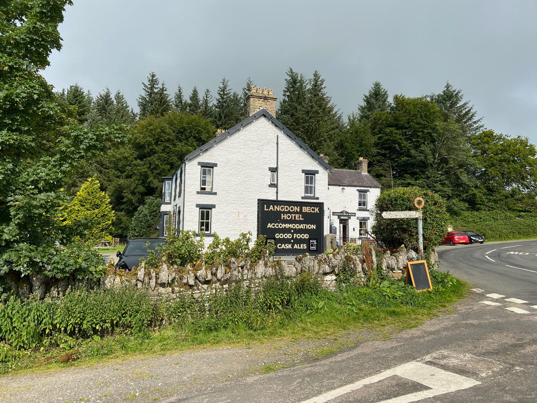
The lovely Langdon Beck Hotel in Teesdale - the sign in the picture points the way to Cow Green Reservoir
We have stayed here many times with Sue and her team and it has always been a pleasure with no frills, good food and great beer. The hotel is about a mile from the Pennine Way where it turns west at Saur Bridge. We left a car in Dufton and drove over the afternoon before the walk, stayed the night and then left our other car at the Hotel to collect later.
We have stayed here many times with Sue and her team and it has always been a pleasure with no frills, good food and great beer. The hotel is about a mile from the Pennine Way where it turns west at Saur Bridge. We left a car in Dufton and drove over the afternoon before the walk, stayed the night and then left our other car at the Hotel to collect later.
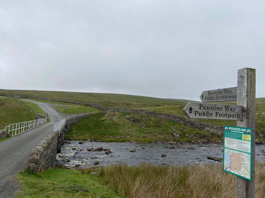
From the Hotel the route follows the access road to Cow Green Reservoir for half a mile before turning off on the farm track towards Widdy Bank Farm.
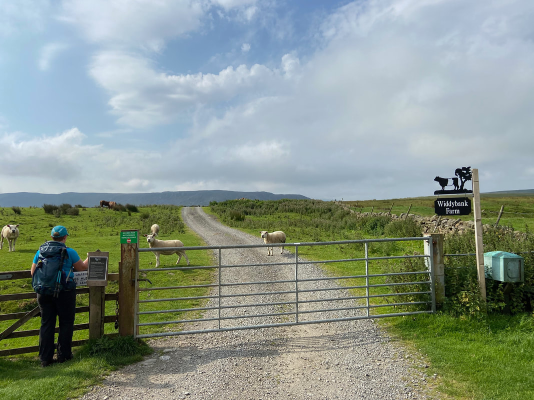
After just over a mile along the track the route reaches the farm and then rejoins The Pennine Way.
After just over a mile along the track the route reaches the farm and then rejoins The Pennine Way.
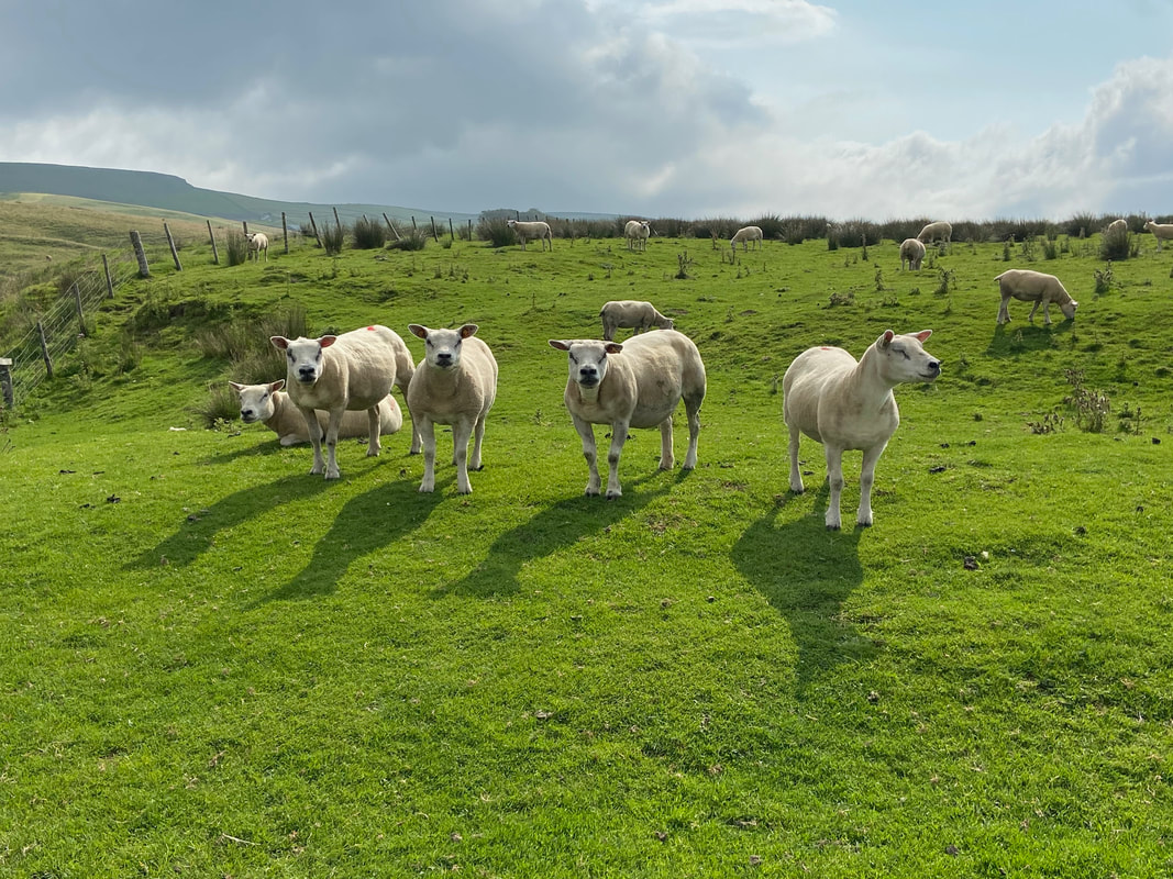
This bunch of handsome chaps gave us a lovely welcome as we headed to Widdybank Farm
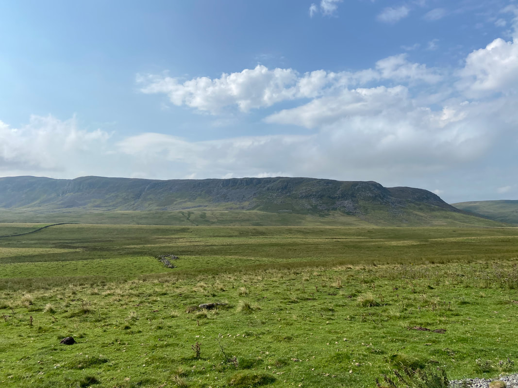
Cronkley Scar from the farm access track
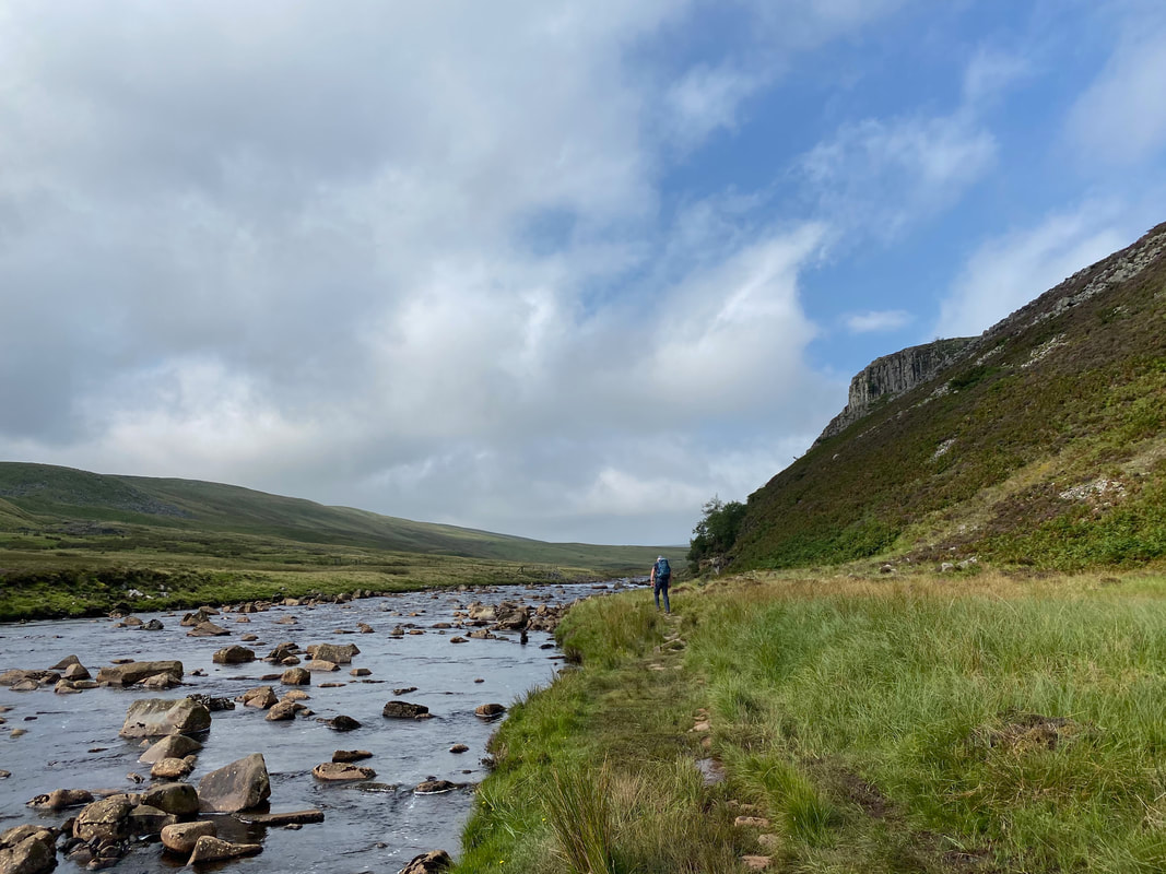
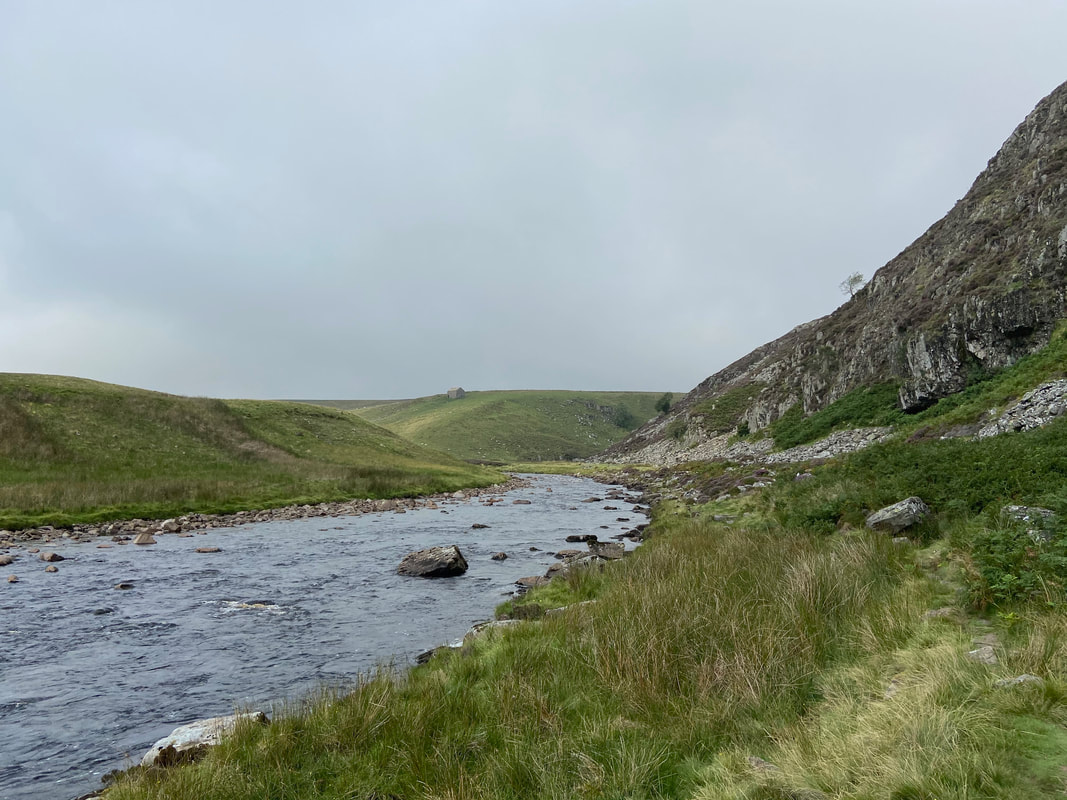
From Widdy Bank Farm the route handrails the River Tees below Holmwath - this is a delightful stretch
Looking back to Cronkley Scar & the River Tees
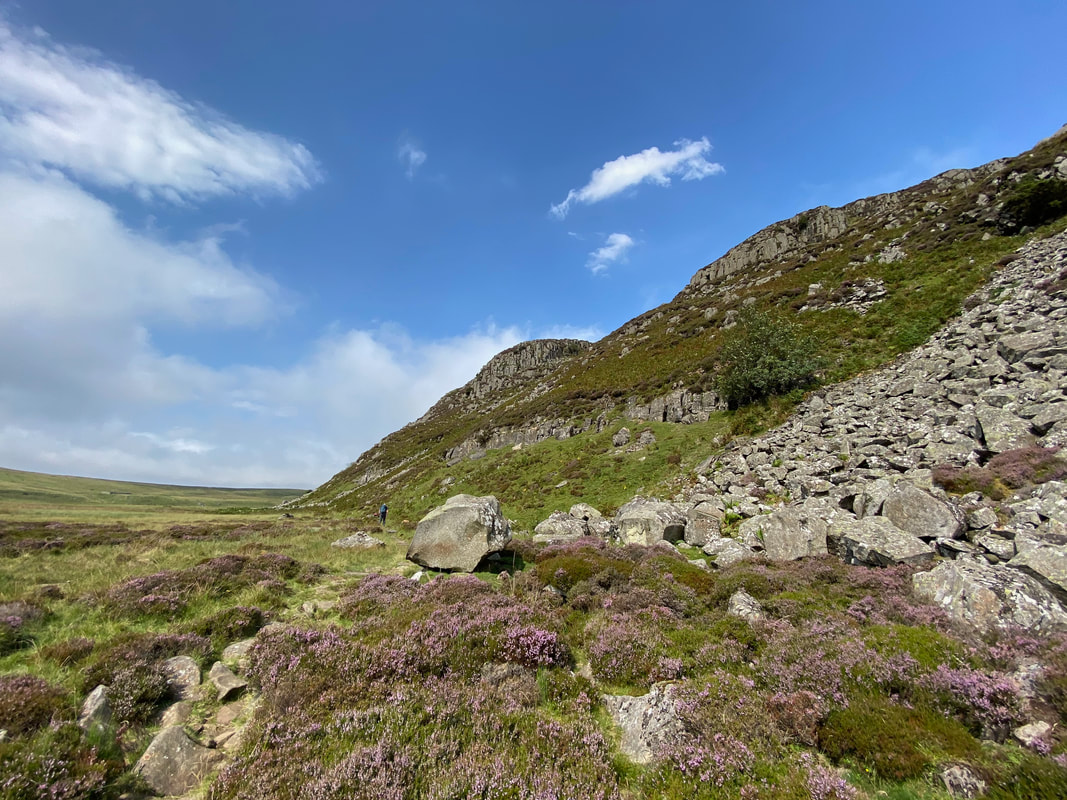
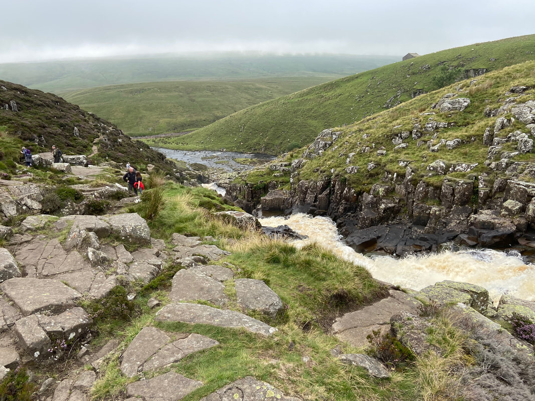
The bouldery path below Falcon Clints
Much is made of this section with regard to the difficulty over the boulders. As long as you take your time and look where you are putting your feet the section can be negotiated with little difficulty - just be careful during or after rain when the rock could be wet.
Much is made of this section with regard to the difficulty over the boulders. As long as you take your time and look where you are putting your feet the section can be negotiated with little difficulty - just be careful during or after rain when the rock could be wet.
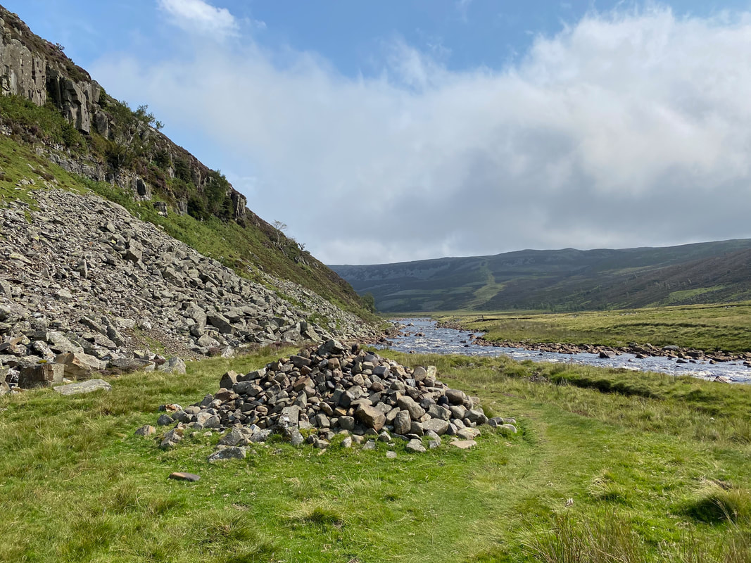
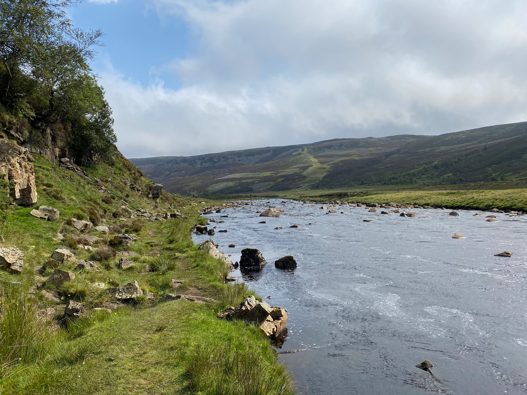
The end of the bouldery section is marked by a large cairn - the terrain improves markedly from here to Cauldron Snout
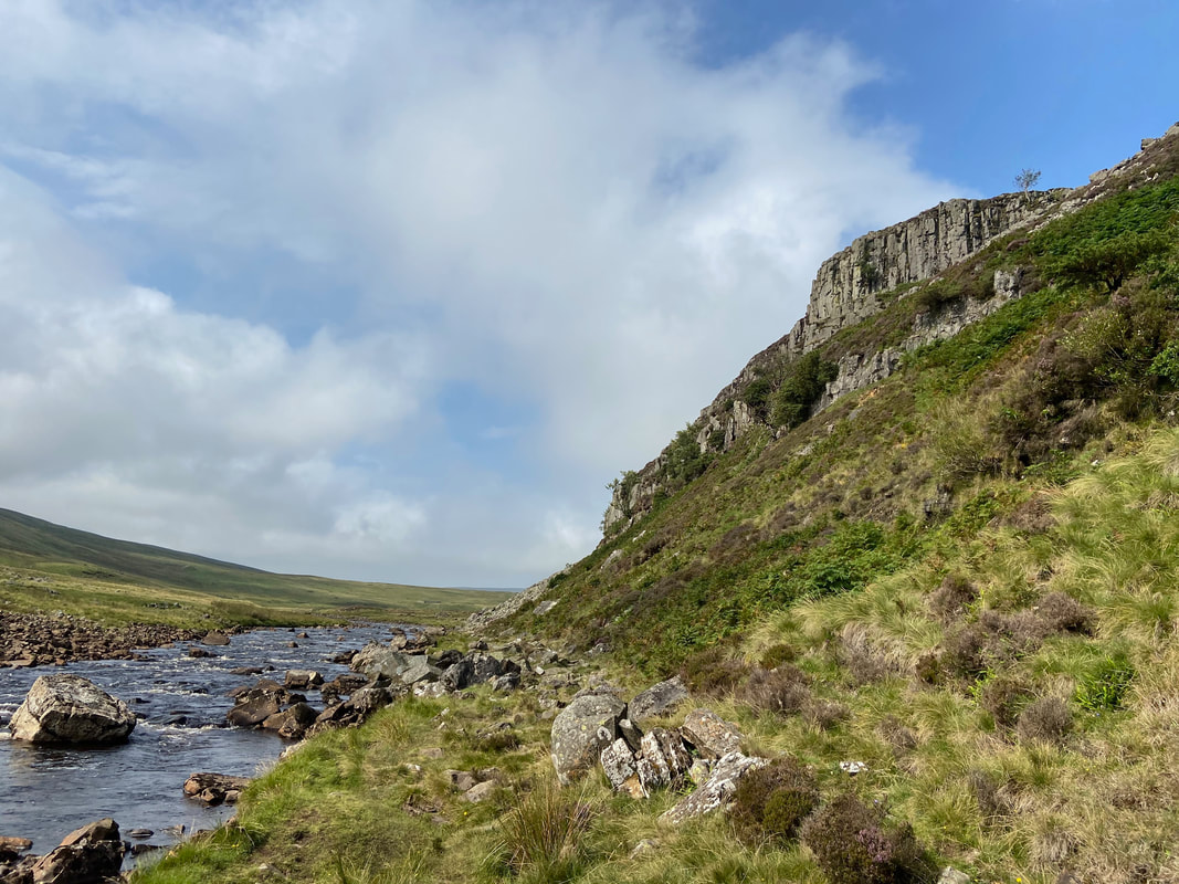
Continuing below Falcon Clints
We would soon be leaving the beautiful River Tees as we near Cauldron Snout which is up ahead and around to the right.
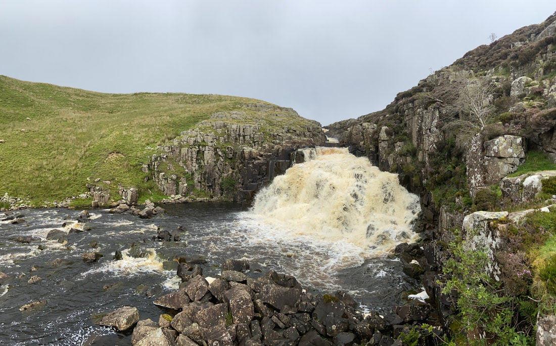
Cauldron Snout
The Snout is immediately below Cow Green Reservoir and is caused by the Upper Tees passing over the dolerite steps of the Whin Sill. These days engineers control the flow of the waterfall. The route up to the top of the Snout is to the right and is an enjoyable scramble.
The Snout is immediately below Cow Green Reservoir and is caused by the Upper Tees passing over the dolerite steps of the Whin Sill. These days engineers control the flow of the waterfall. The route up to the top of the Snout is to the right and is an enjoyable scramble.
The top of Cauldron Snout.
There were a few people here today and these were the first signs of human life we had seen since leaving the B&B this morning.
There were a few people here today and these were the first signs of human life we had seen since leaving the B&B this morning.
At the top of Cauldron Snout a bridge is crossed over the reservoir outlet to follow The Pennine Way towards Birkdale Farm
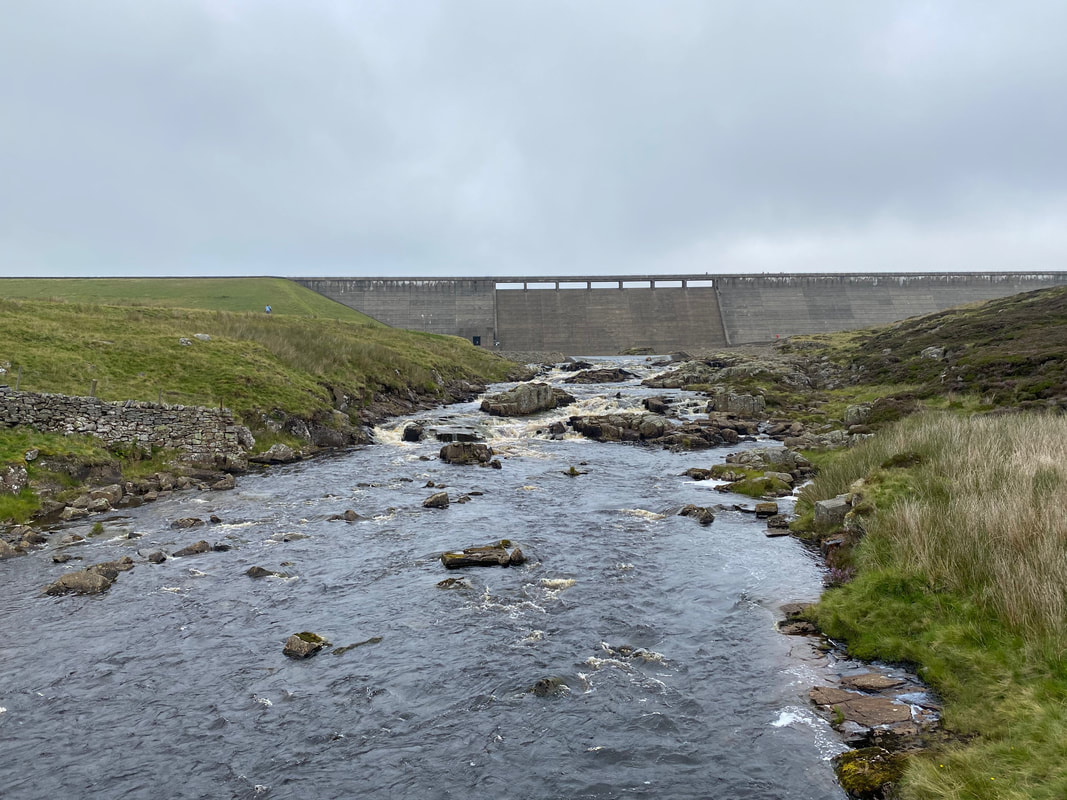
The dam wall of Cow Green Reservoir
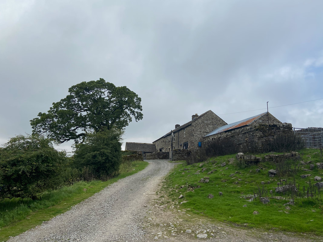
Birkdale Farm
The farm was also featured in the same series as Hannah Hauxwell (link here) Too Long a Winter which depicted the harshness of farming through the winter and, prior to the Cow Green Reservoir access road being built was over 3 miles from the nearest road.
The farm was also featured in the same series as Hannah Hauxwell (link here) Too Long a Winter which depicted the harshness of farming through the winter and, prior to the Cow Green Reservoir access road being built was over 3 miles from the nearest road.
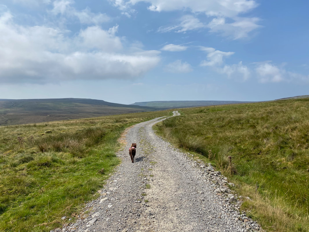
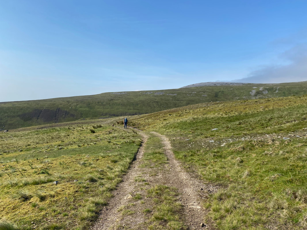
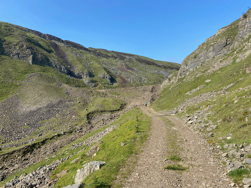
From Birkdale Farm the Pennine Way continues on a good track. Narrowgate Beacon is in the far distance just left of centre.
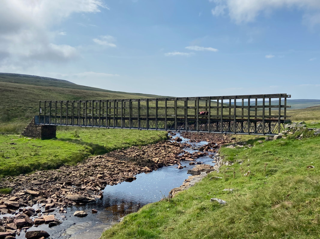
The bridge over Maize Beck
Fudge's hide & seek was coming along
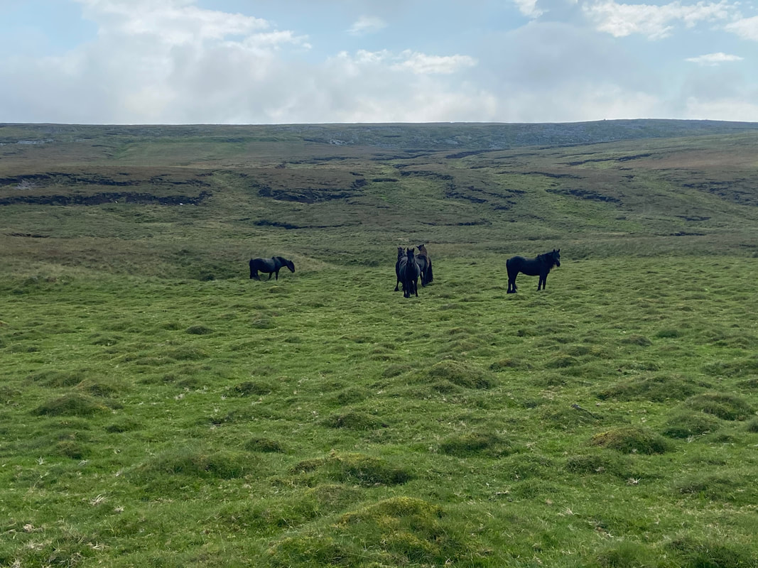
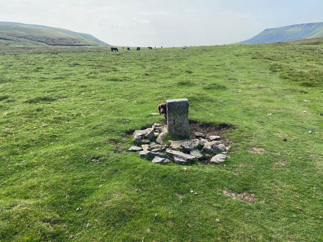
The wild fell ponies of Dufton near High Cup
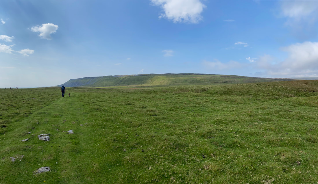
Heading for High Cup with Narrowgate Beacon ahead
We have been to High Cup many times and the approach to it from any direction is always superb.
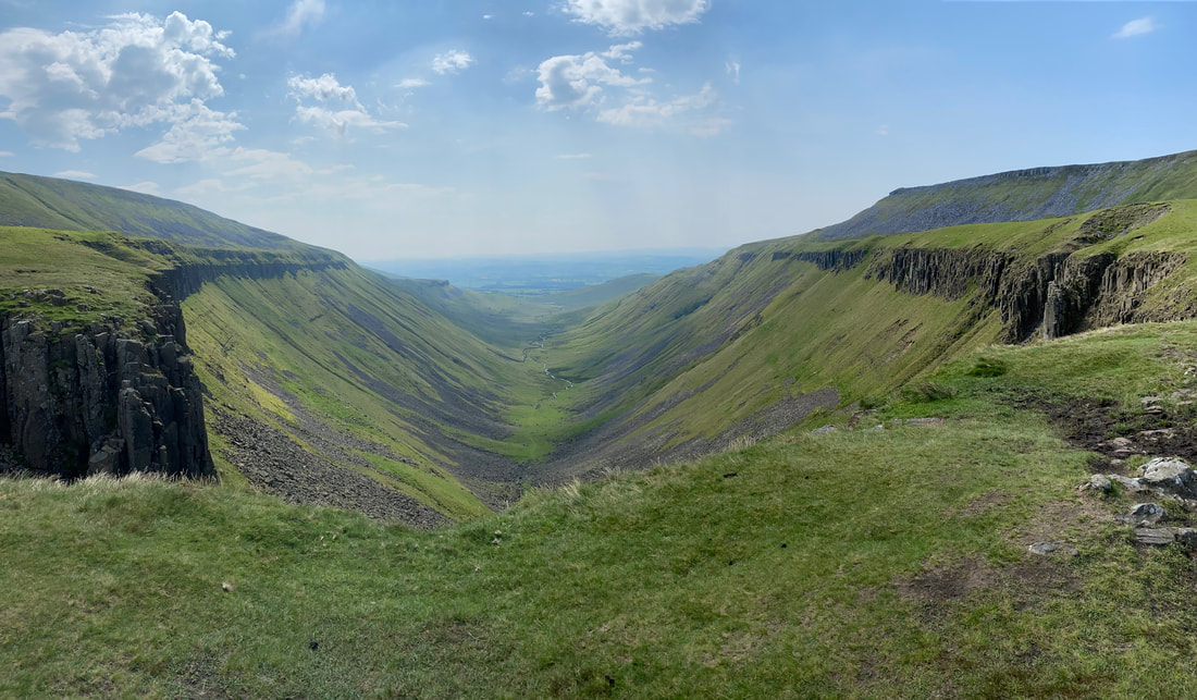
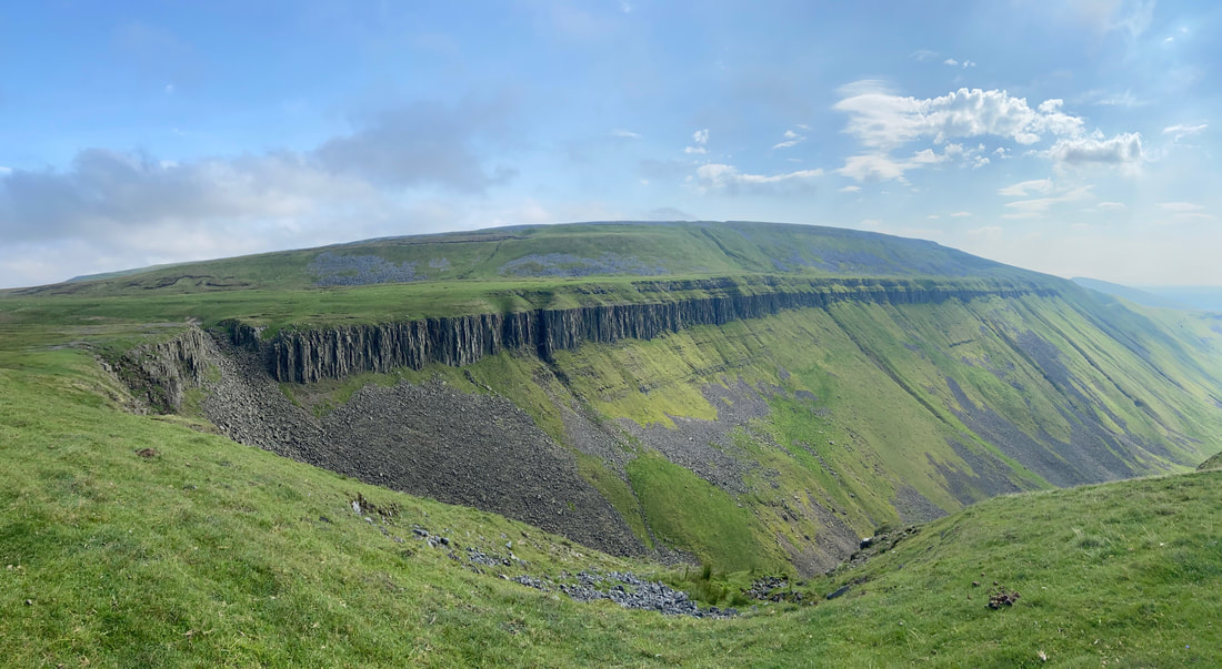
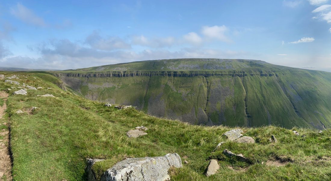
High Cup
A huge U-shaped glaciated valley that is a perfect example of glacial erosion. The sides of the valley are peppered with strata and dolerite which is interspersed with scree. It can be reached via a few routes, the Pennine Way being one of them. Another really good route of approach is via the bottom of the valley, culminating in a delightful scramble to this point. A blog of this route is here
A huge U-shaped glaciated valley that is a perfect example of glacial erosion. The sides of the valley are peppered with strata and dolerite which is interspersed with scree. It can be reached via a few routes, the Pennine Way being one of them. Another really good route of approach is via the bottom of the valley, culminating in a delightful scramble to this point. A blog of this route is here
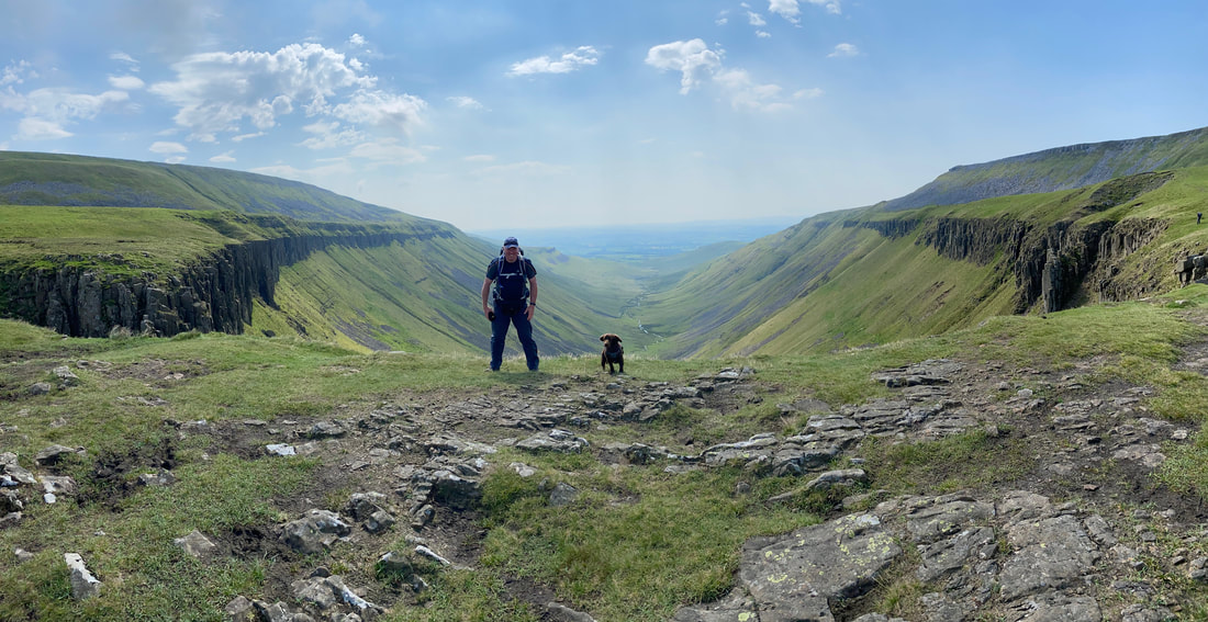
With Fudge at High Cup
Leaving High Cup we headed along the northern rim of the valley towards Narrowgate Beacon which is ahead. To reach the Beacon we had two options - to the right of the stone is a rough path heading up the fell side which leads to a pleasant walk along the top to reach the summit. Our route today was to continue along the Pennine Way and climb up the far edge further on.
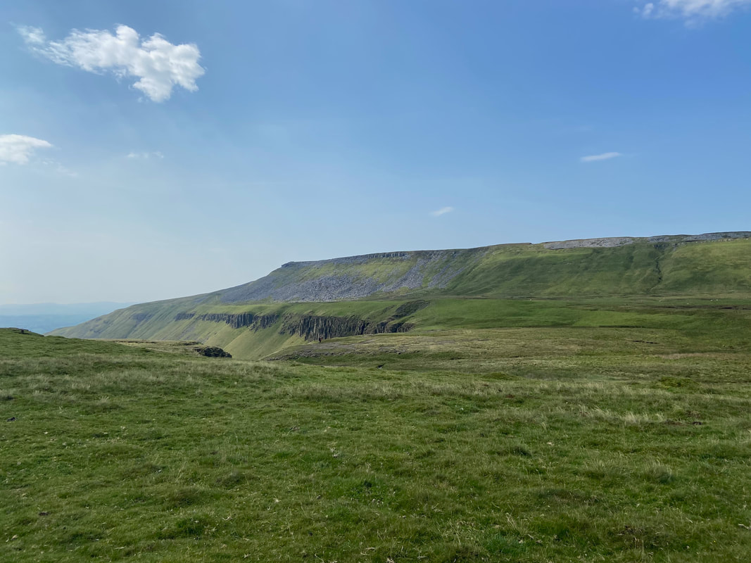
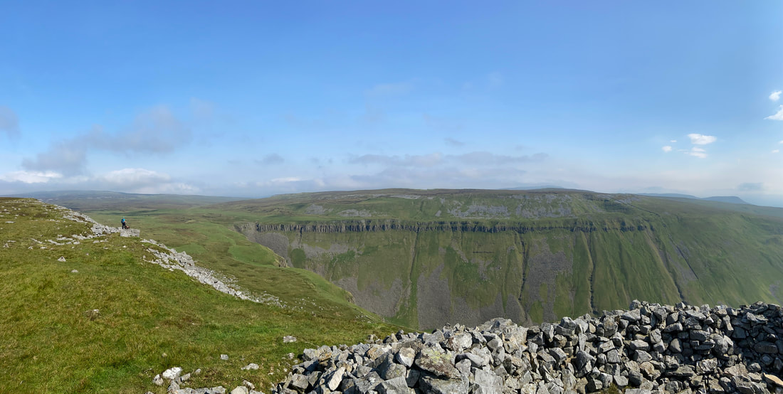
High Cup Scar from The Pennine Way.
There is a route back to Dufton along the top of the scar which then transits below Middle Tongue to reach the farm at Harbour Flatt - from there it is either across fields or along the road back to Dufton.
There is a route back to Dufton along the top of the scar which then transits below Middle Tongue to reach the farm at Harbour Flatt - from there it is either across fields or along the road back to Dufton.
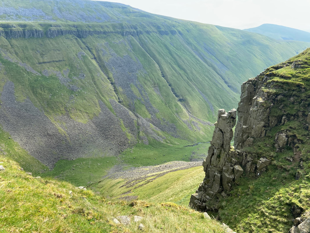
Nichol's Chair
Nichol was a Dufton cobbler who, it is said in addition to climbing the column also soled and heeled a pair of boots whilst sitting on the top.
Nichol was a Dufton cobbler who, it is said in addition to climbing the column also soled and heeled a pair of boots whilst sitting on the top.
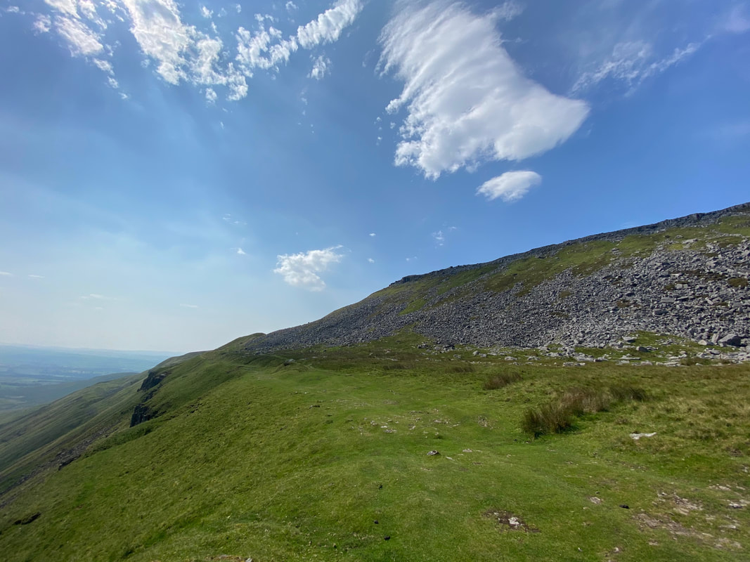
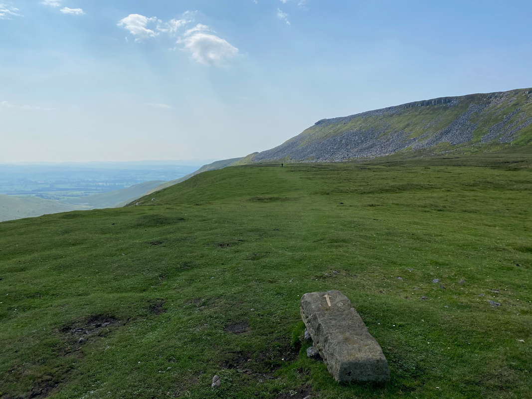
Narrowgate Beacon ahead
We could have clambered up to the ridge over the scree at any time but stayed below on The Pennine Way as long as possible.
We could have clambered up to the ridge over the scree at any time but stayed below on The Pennine Way as long as possible.
Looking back to High Cup from below Narrowgate Beacon
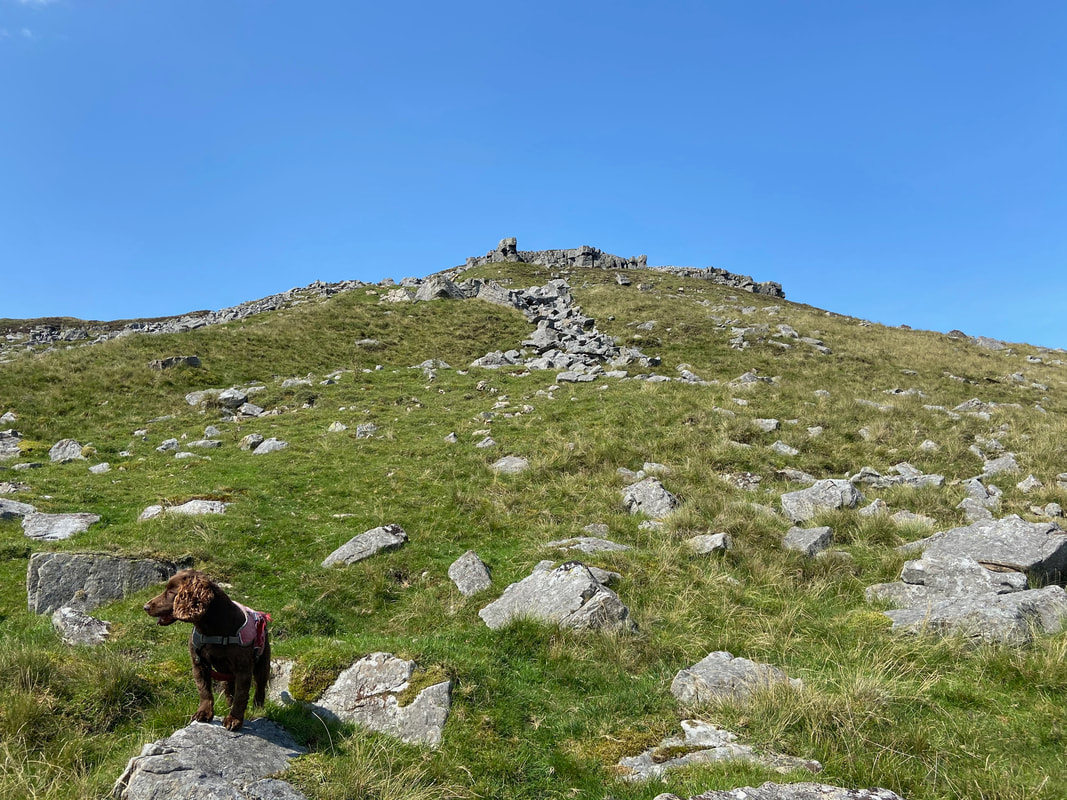
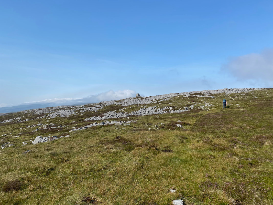
From the Pennine Way we climbed to Narrowgate Beacon via a pathless route that picked its way through loose stone
Looking back down to the Pennine Way path from the short climb to Narrowgate Beacon.......................
............ and from a little further around
High Cup from Narrowgate Beacon
The summit of Narrowgate Beacon
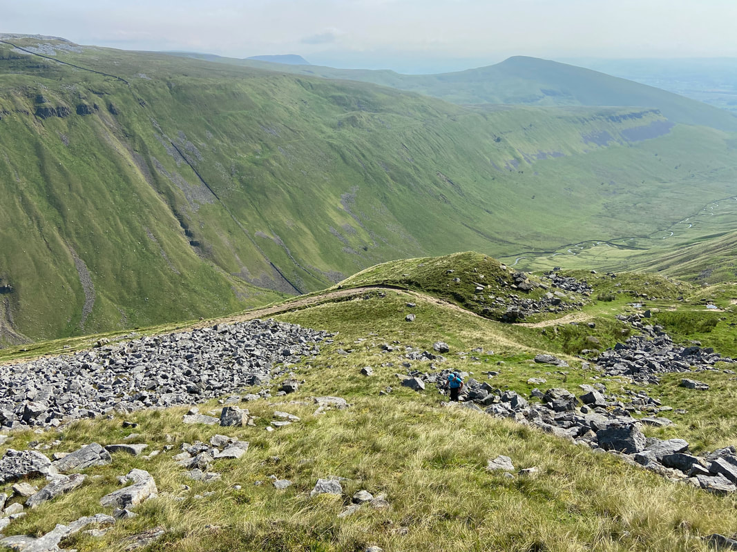
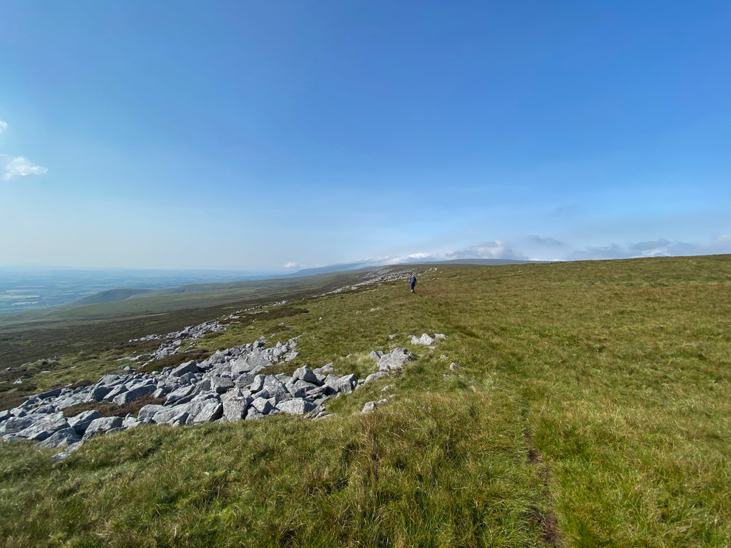
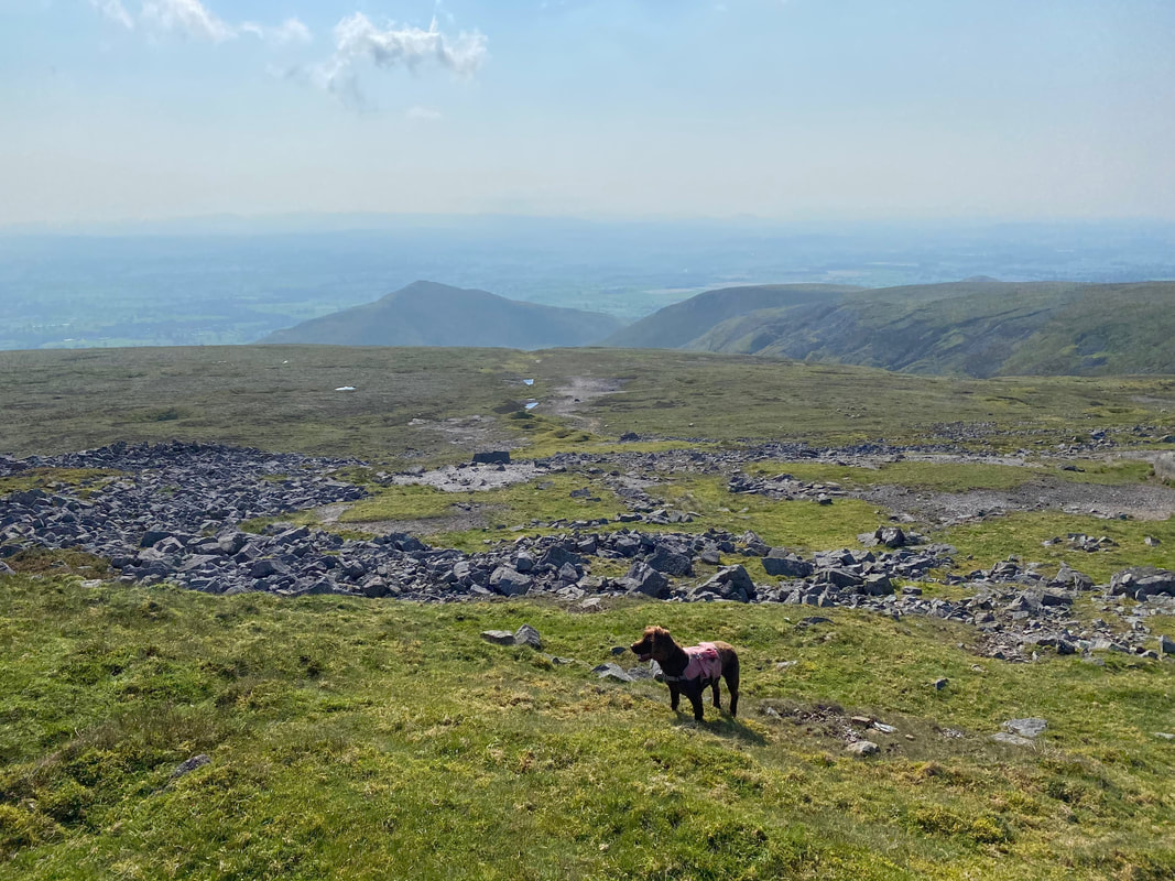
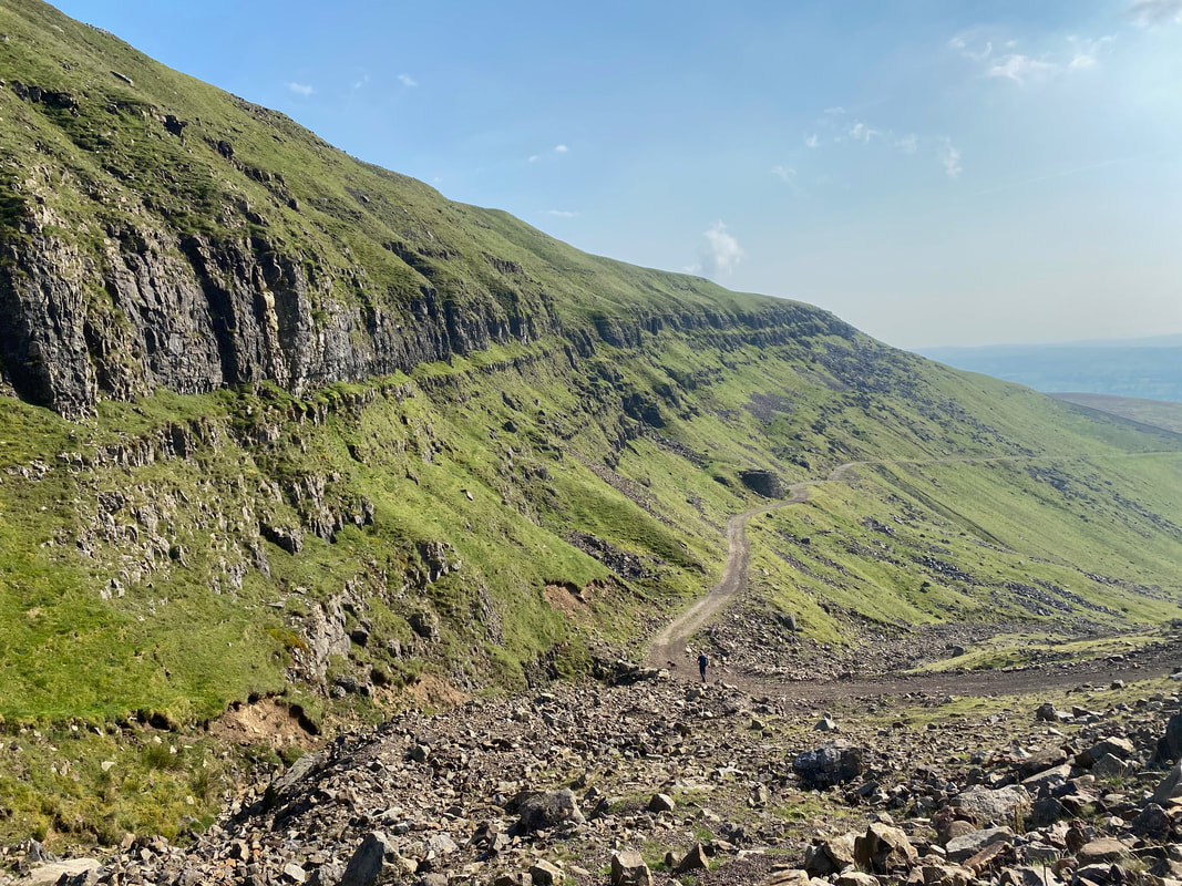
Leaving Narrowgate Beacon we headed along Backstone Edge.
It was clear that not many people get up here as the path drifted in and out of view and was quite vague in places.
It was clear that not many people get up here as the path drifted in and out of view and was quite vague in places.
In good visibility the route across the edge was never in doubt however in mist or low cloud it would be very easy to lose your way.
It goes without saying that the ability to navigate across terrain like this is extremely important.
It goes without saying that the ability to navigate across terrain like this is extremely important.
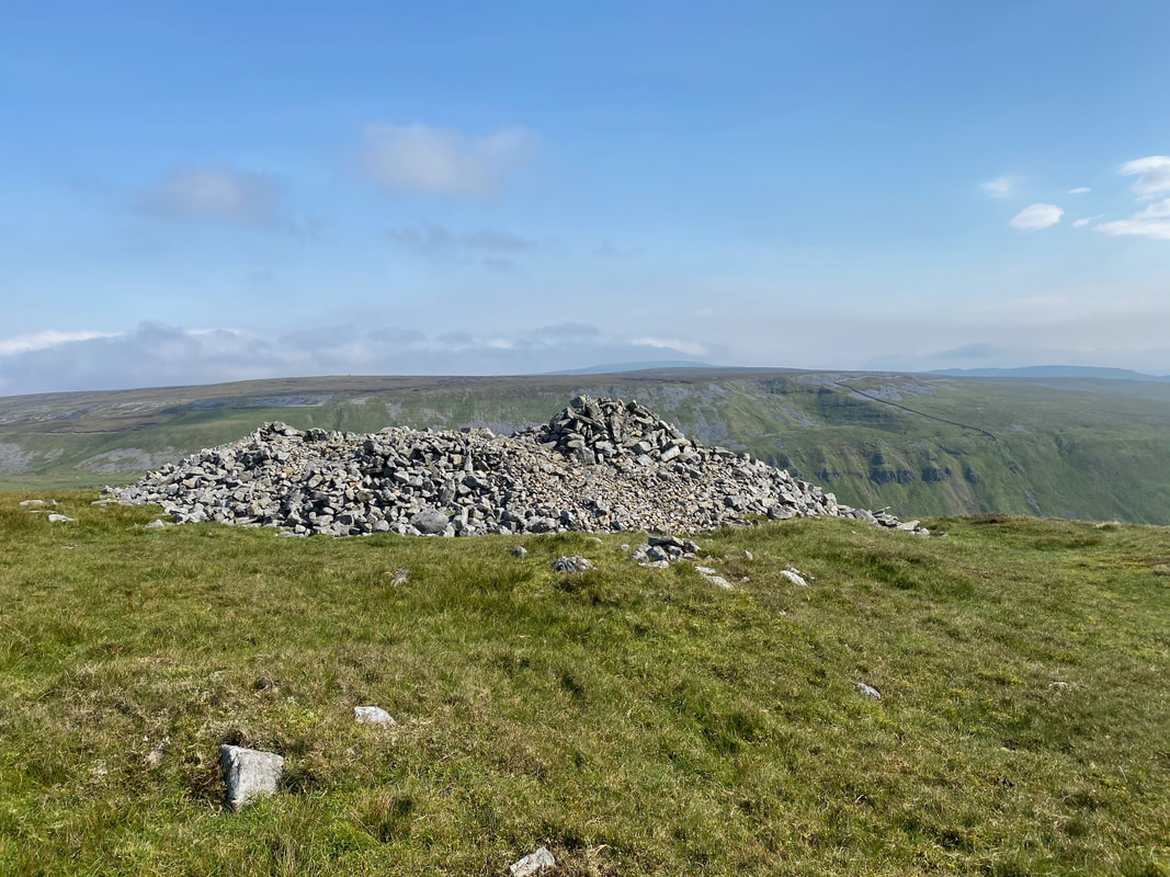
Heading towards the second of two large cairns on Backstone Edge
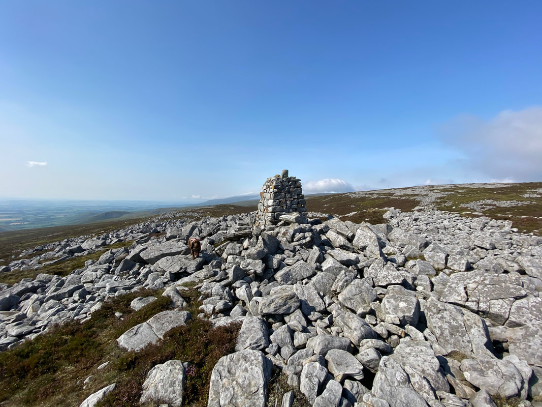
Arriving at the second cairn
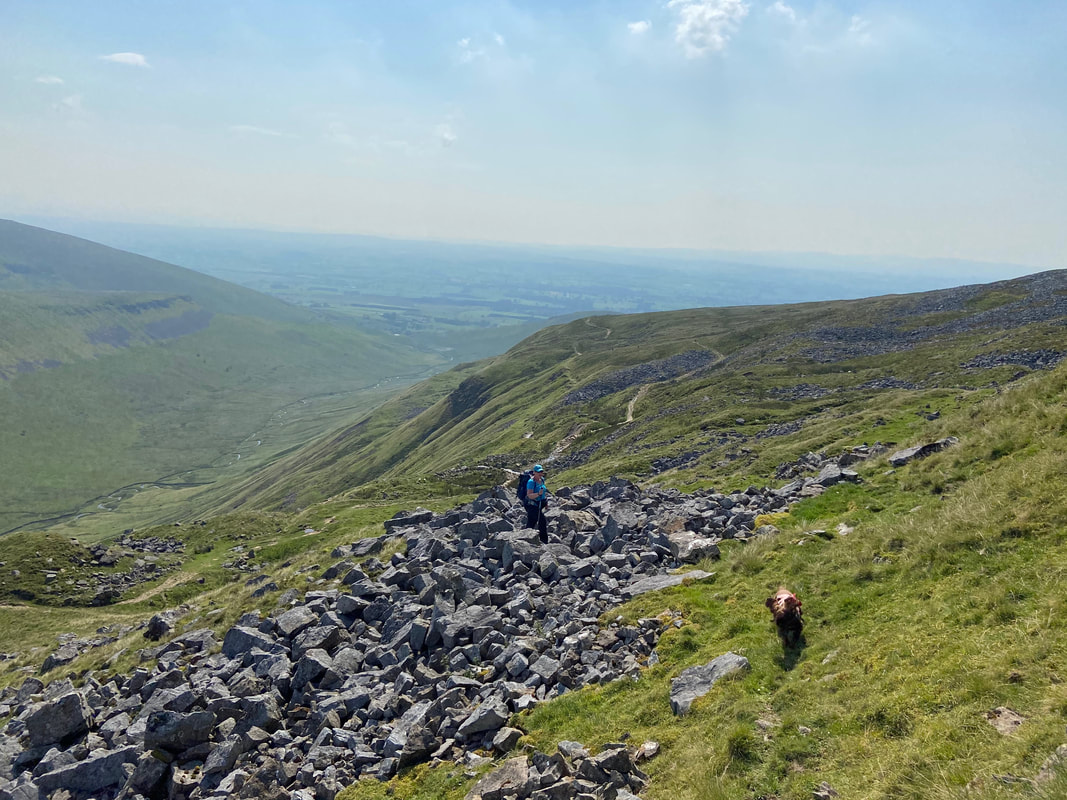
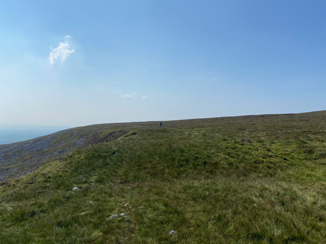
Leaving the second cairn we transited along the edge on mainly pathless terrain towards the summit
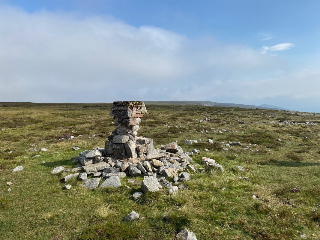
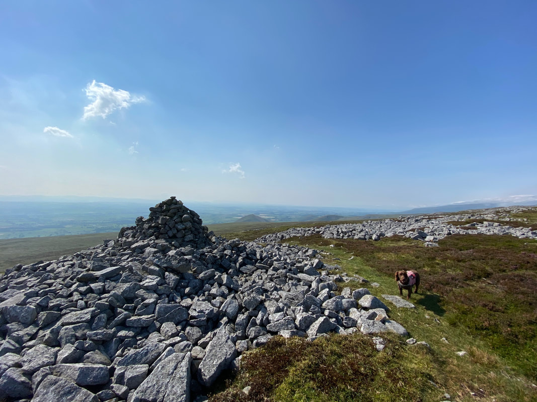
The rather forlorn Trig Point near the summit of Backstone Edge - the highest point is about 200 yards to the north east.
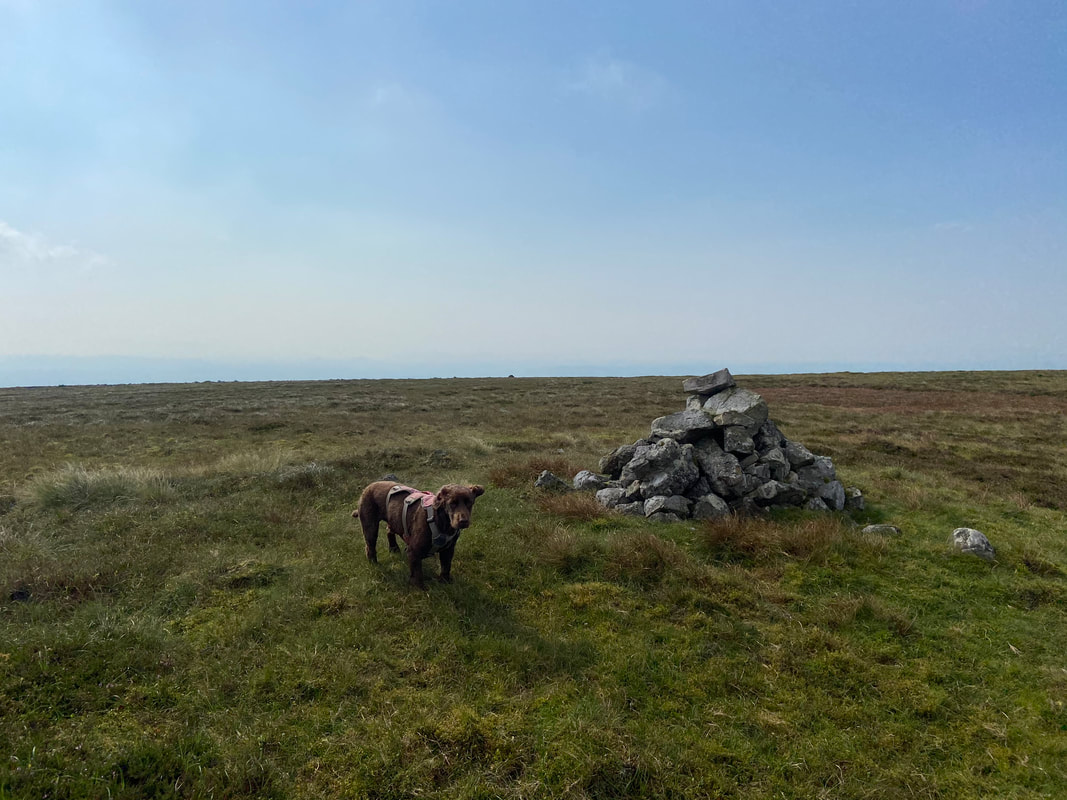
A rather unimpressed Fudge on the summit of the Nuttall of Backstone Edge
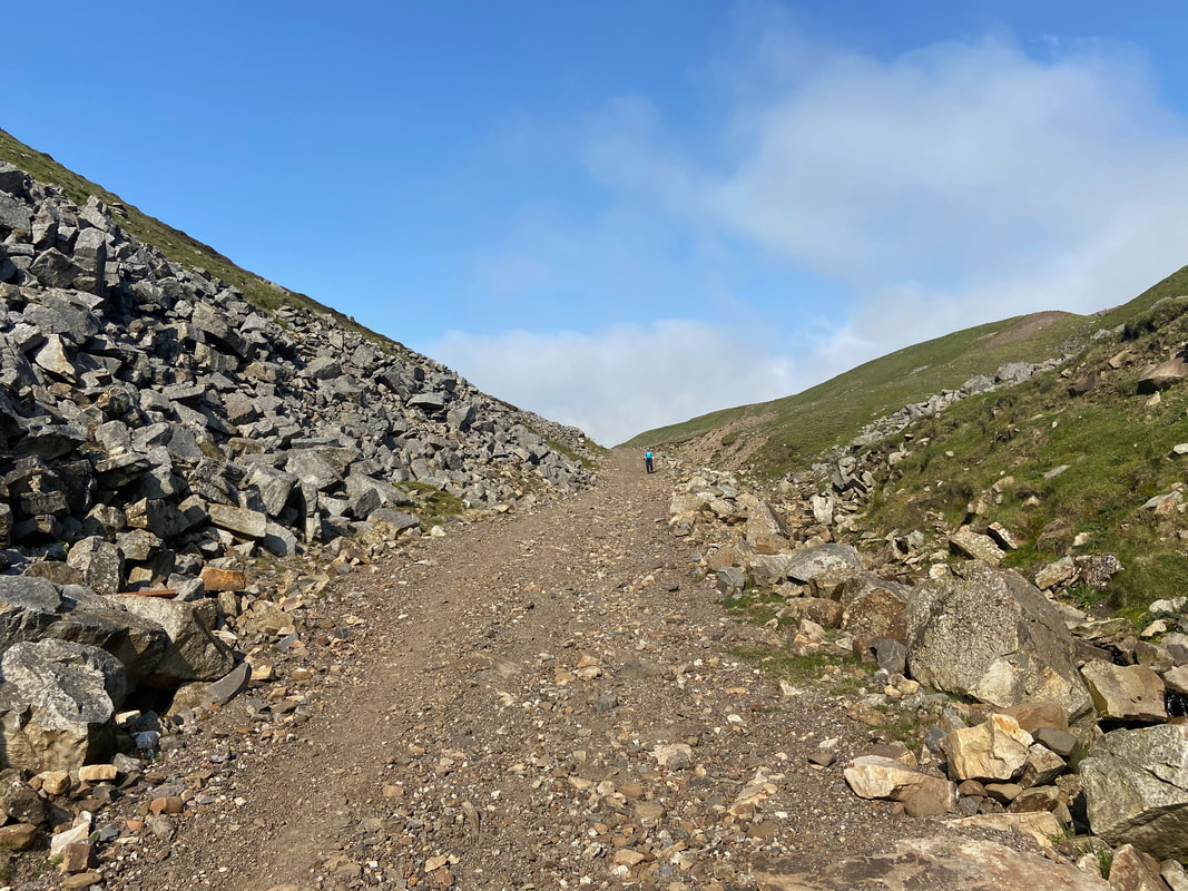
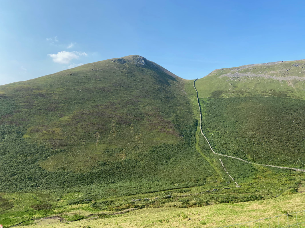
From the summit of Backstone Edge we dropped off to the west to pick up the old mine access track which can be seen heading left to right
The mine access track leading to Threlkeld Side
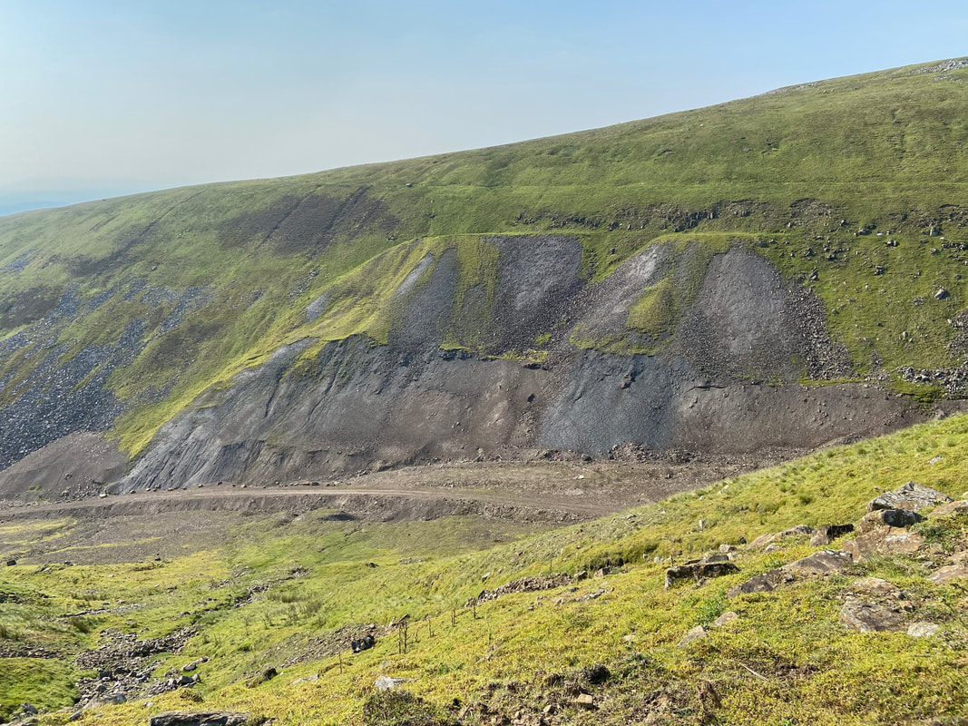
Threlkeld Side
Threlkeld Side was originally a lead mine but from the end of the nineteenth century until 1924 it was mainly used for the extraction of barytes.
The Baryte mined was used as an aggregate in a "heavy" cement - crushed and screened to a uniform size. Most baryte is ground to a small, uniform size before it is used as a filler or extender.
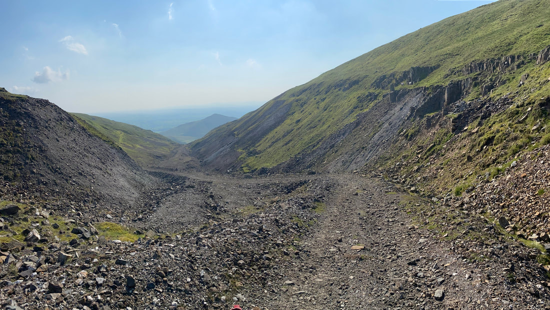
Looking down Threlkeld Side to Dufton Pike in the hazy distance.
A hundred years ago this would have been a hive of activity - sadly no more.
A hundred years ago this would have been a hive of activity - sadly no more.
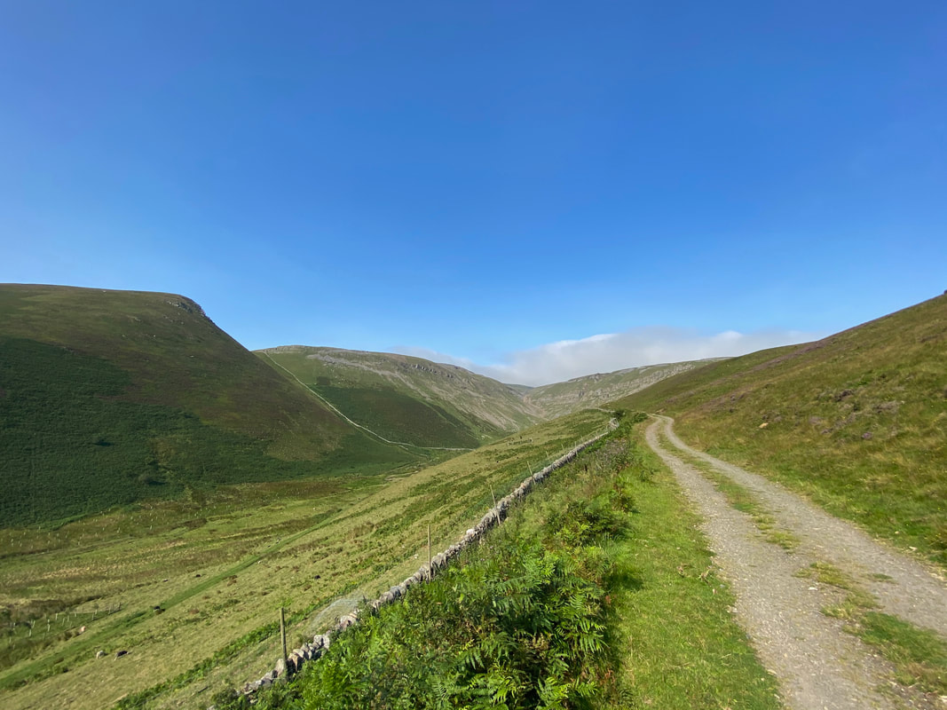
The stony descent through Threlkeld Side - nobody else here
This was a delightful section of walking as we headed through Threlkeld Side - pure solitude
Another view looking back up Threlkeld Side
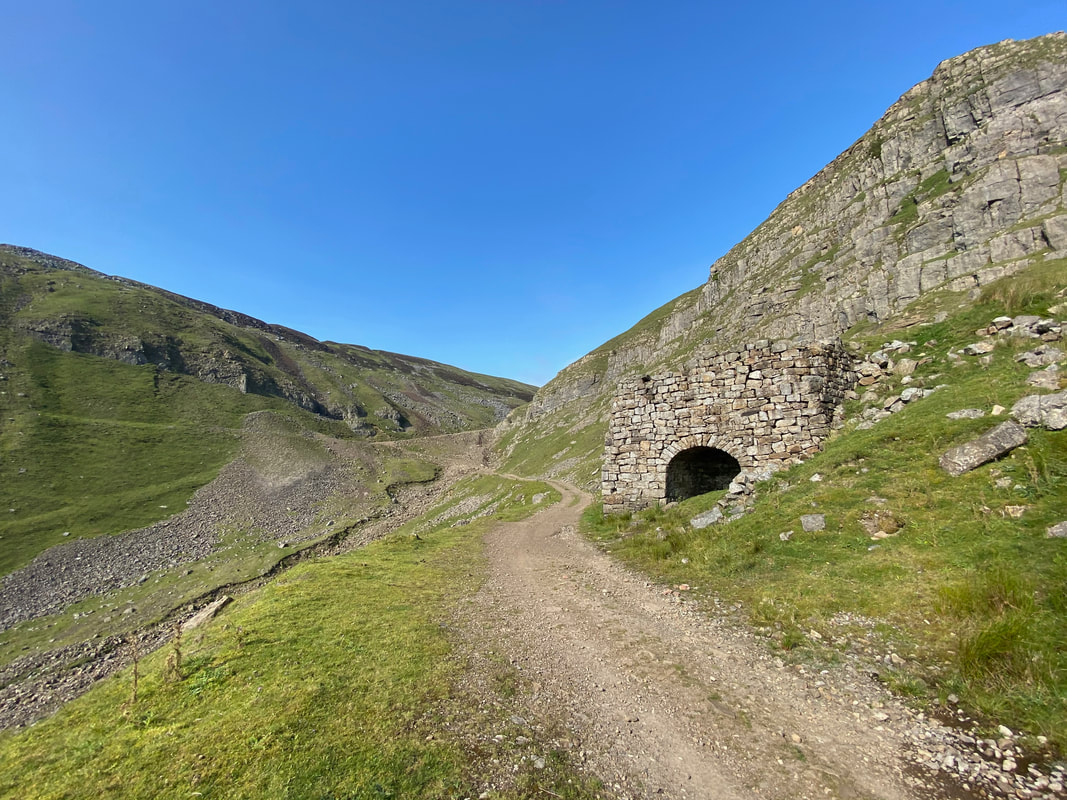
Lots of these old lime kilns dotted about - this one was in excellent condition
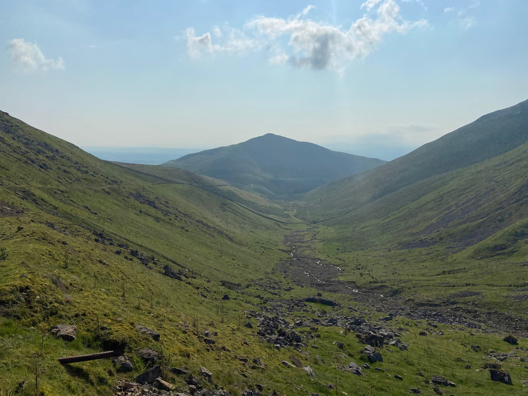
Bluethwaite Hill to the left and Brownber Hill to the right with Dufton Pike in the centre
Brownber Hill
A final look back up to Threlkeld Side before we turn for Dufton
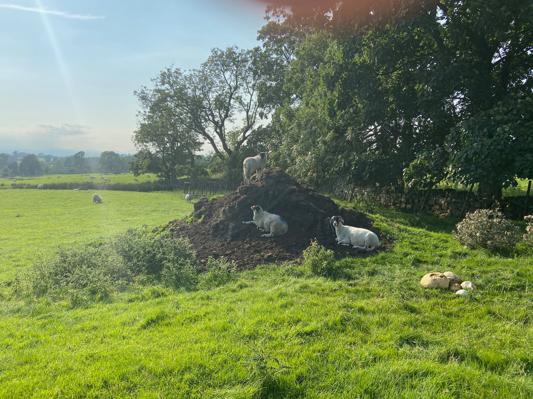
Before reaching Dufton we came across a game of soil heap "King of the Castle" going on
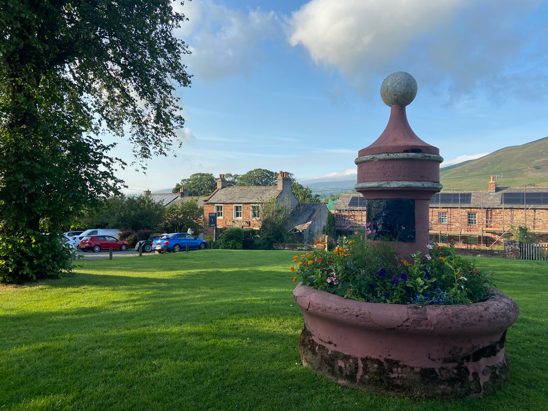
The village green and ornate fountain in Dufton with The Stag Inn behind (which thankfully was open!).
The Quaker owned London Lead Company developed the village through the construction of housing, a school, a library and the installation of piped water. The fountain and circular water trough built by the Company forms a centrepiece on the green. The inscription on the fountain reads (translated from the Latin):
There is a clear pool, whose waters gleam like silver. It is not tainted by shepherds, or by their she-goats grazing on the mountain.
Nor is it muddied by cattle, or by birds or wild animals, or by a branch fallen from a tree.
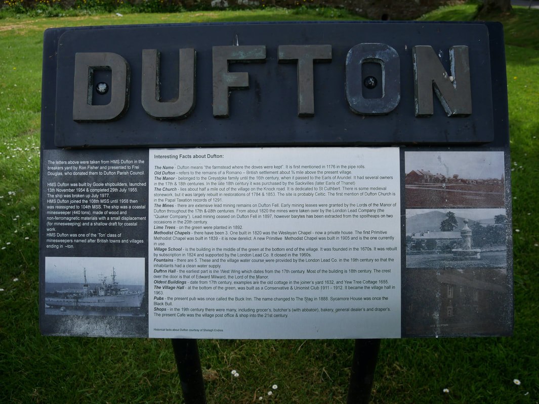
Dufton Village Green - nice to see the lettering was not wasted when the Royal Navy ship of the same name was broken up in 1977
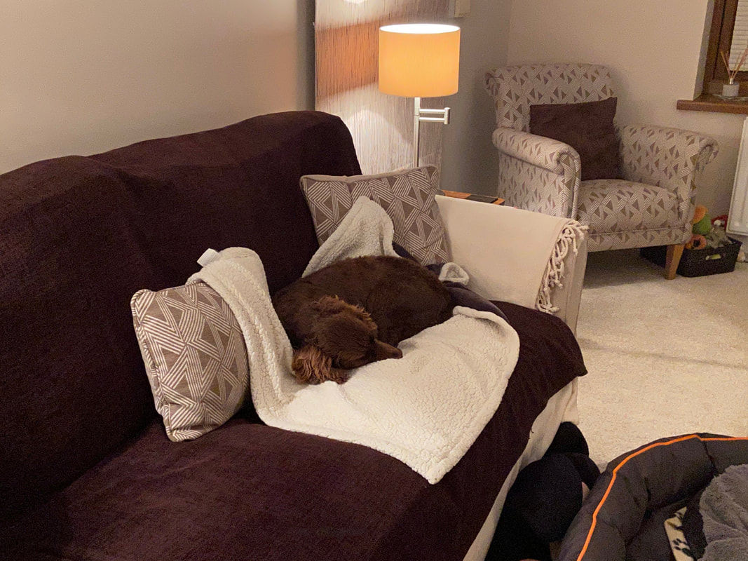
Back home and one happy but extremely knackered pooch