Pen-y-ghent, Plover Hill, Darnbrook Fell & Fountains Fell - Monday 20 September 2021
Route
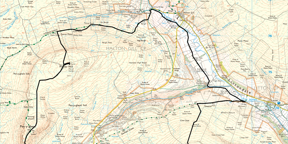
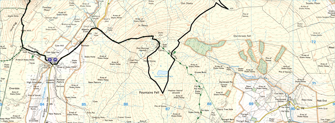
Dale Head - Churn Milk Hole - Gavel Rigg - Pen-y-ghent - Plover Hill - Foxup Road - Foxup - Halton Gill Bridge - Nether Hesleden - New Bridge - Darnbrook Fell - Fountains Fell South Top - Fountains Fell - Blishmire Close - Rainscar - Dale Head Farm
Parking
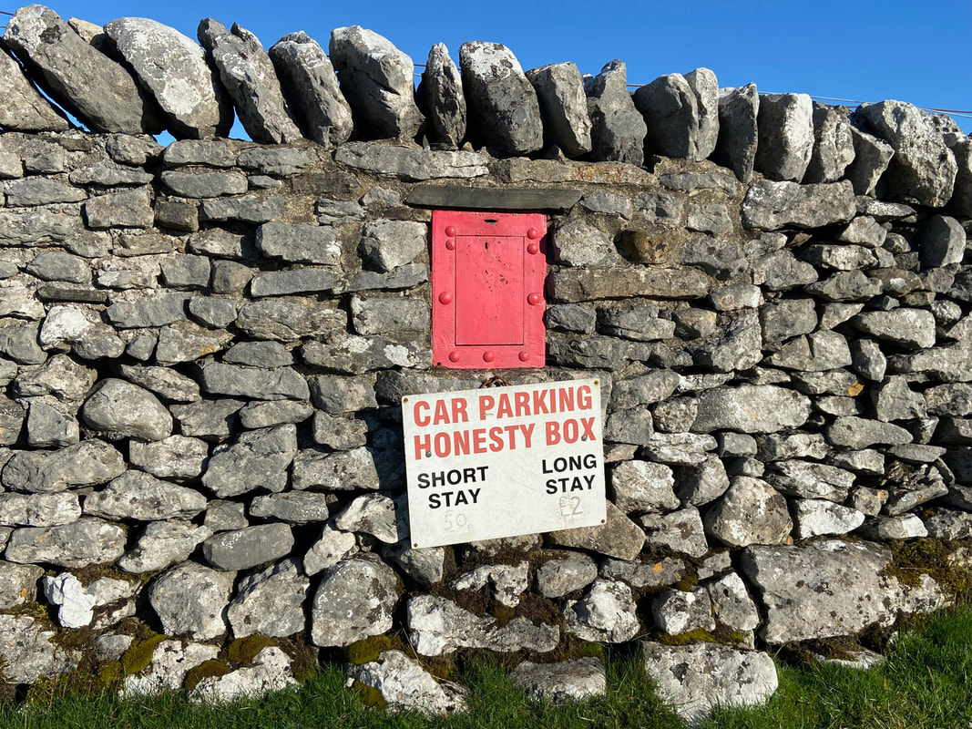
Verge parking on the Silverdale Road near the turning for Dale Head Farm, Grid Reference SD 84274 71462 (Donation). The nearest postcode is BD24 9PW.
Mileage
16.1 miles
Terrain
Well defined mountain paths for the most part however the path from Darnbrook Fell to Fountains Fell is intermittent. The path from Plover Hill down to the Pennine Journey path is steep in places and therefore care needs to be taken.
Weather
Gloriously sunny with light breezes.
Time Taken
8hrs
Total Ascent
2713ft (827m)
Map
OL2 - Yorkshire Dales (Southern & Western Areas)
Walkers
Dave, Angie & Fudge
|
GPX File
|
| ||
If the above GPX file fails to download or presents itself as an XML file once downloaded then please feel free to contact me and I will send you the GPX file via e-mail.
Route Map
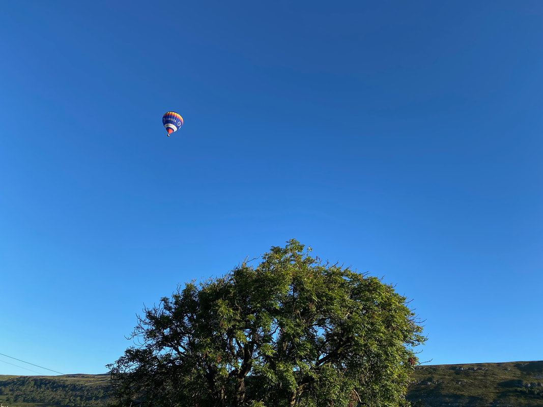
As we were driving over from Conistone we spotted a hot air balloon therefore stopped to capture it. Whilst I wouldn't take part myself, it must be a wonderful feeling to view the area from up there.
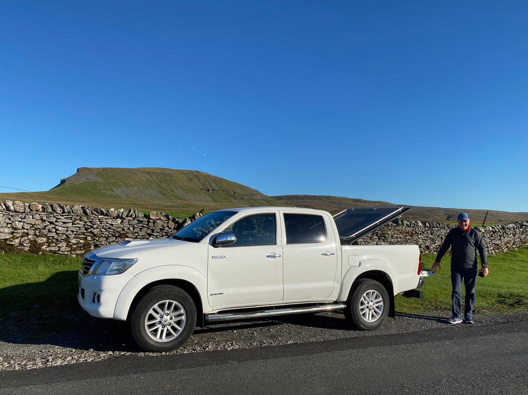
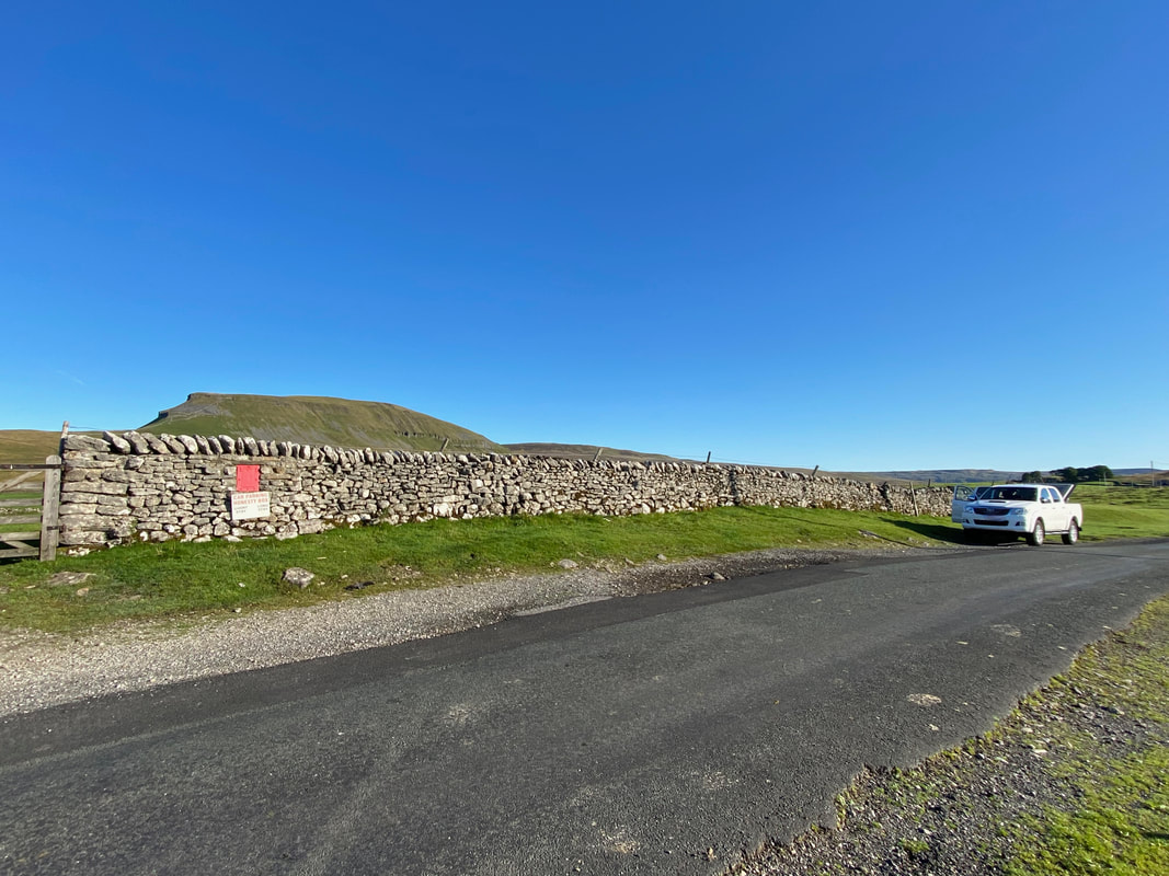
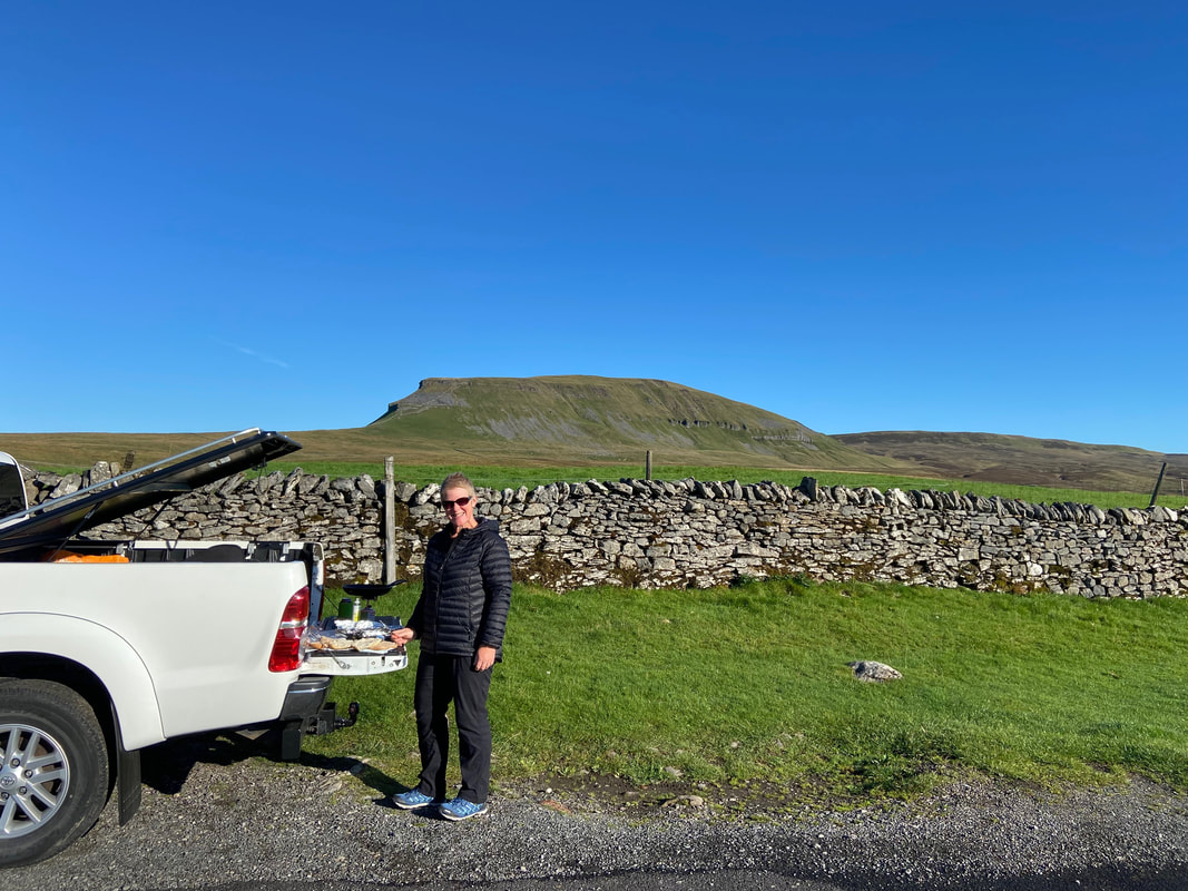
All parked up and ready for breakfast with Pen-y-ghent in the background.
The verge parking on the Silverdale Road near the access track for Dale Head Farm
£2 all day - an absolute bargain
What a glorious day for a walk, preceded by a Bacon & Egg Sarnie. I was cook today but was closely supervised by both Fudge & Angie.
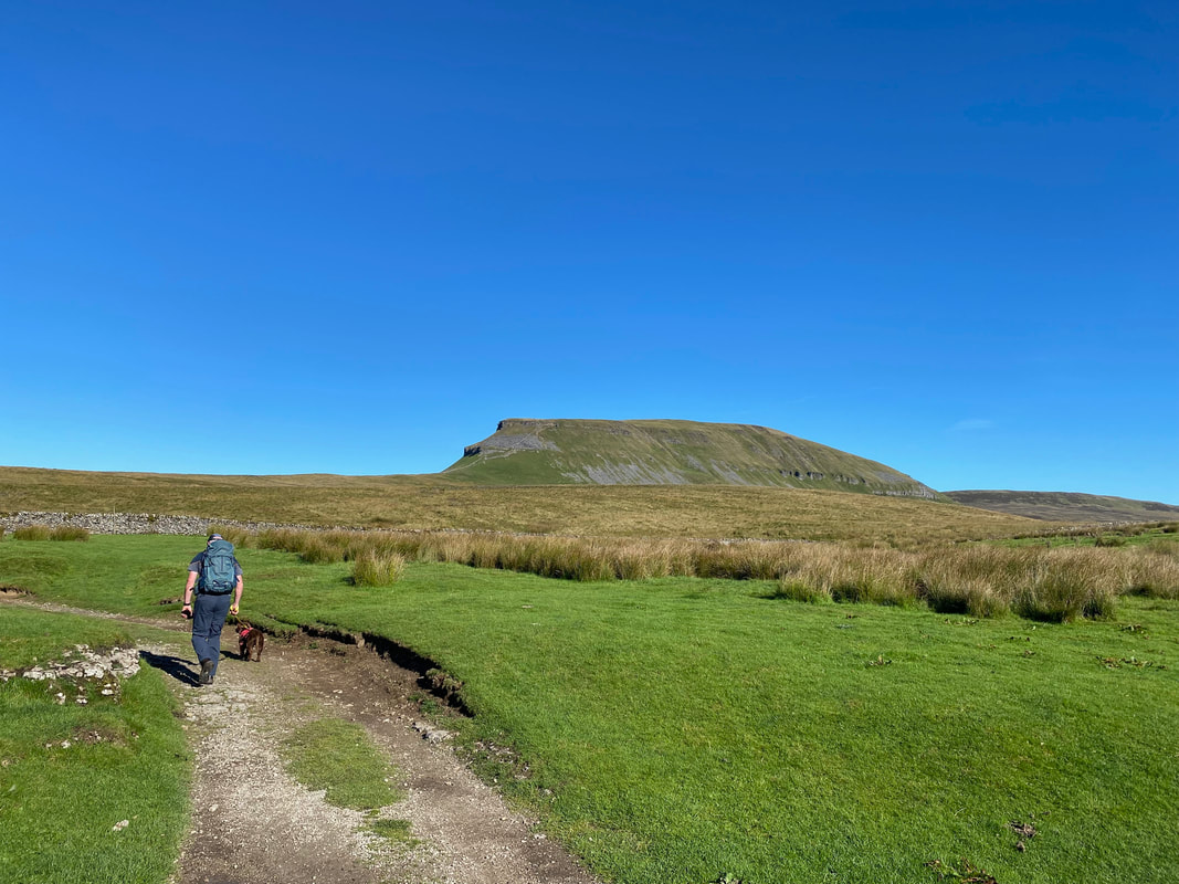
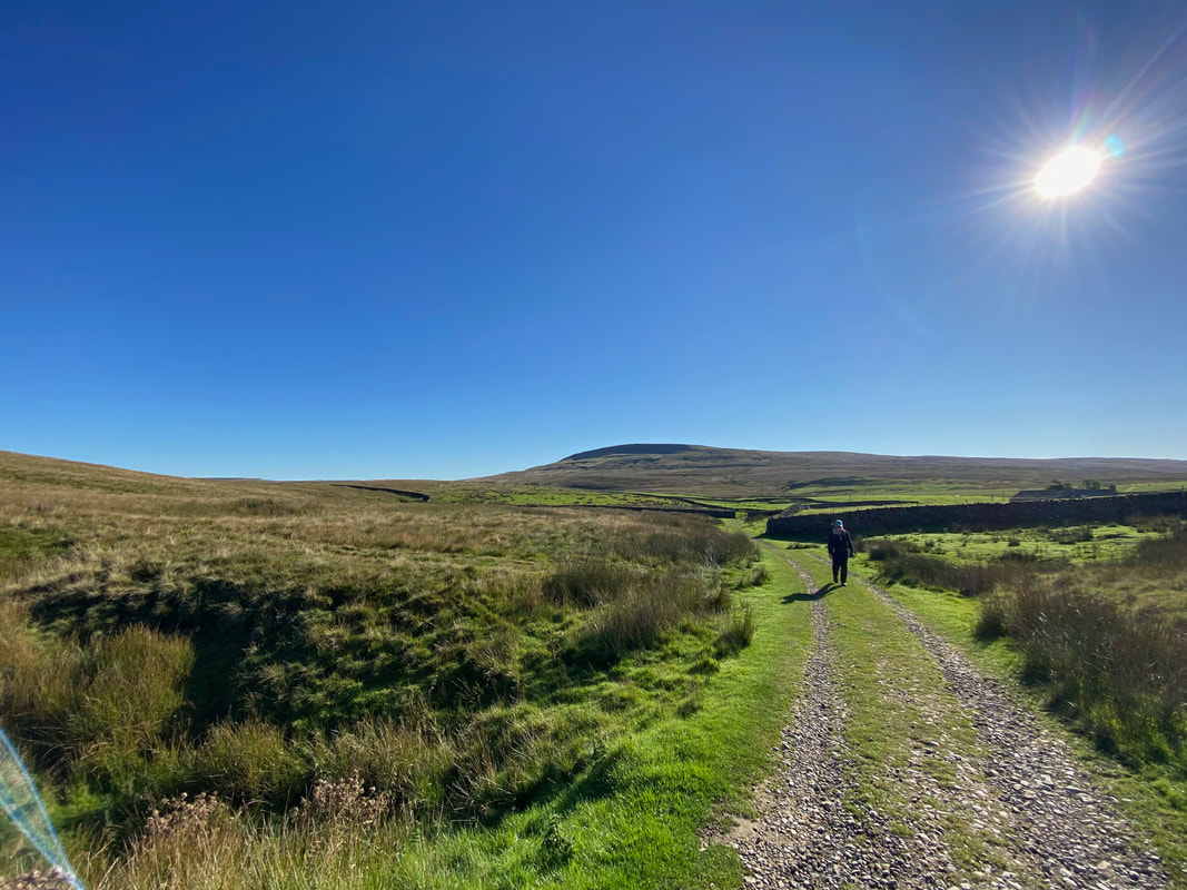
Suitably fed we were off and headed up the access track in the general direction of Pen-y-ghent
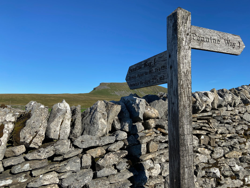
From the start of the walk to Pen-y-ghent we would be on the path of The Pennine Way. We were last on this route in 2015 when we completed The Pennine Way over 3 weeks. A link to the walk report is here
Our return route of Fountains Fell in the distance as we continue towards Pen-y-ghent
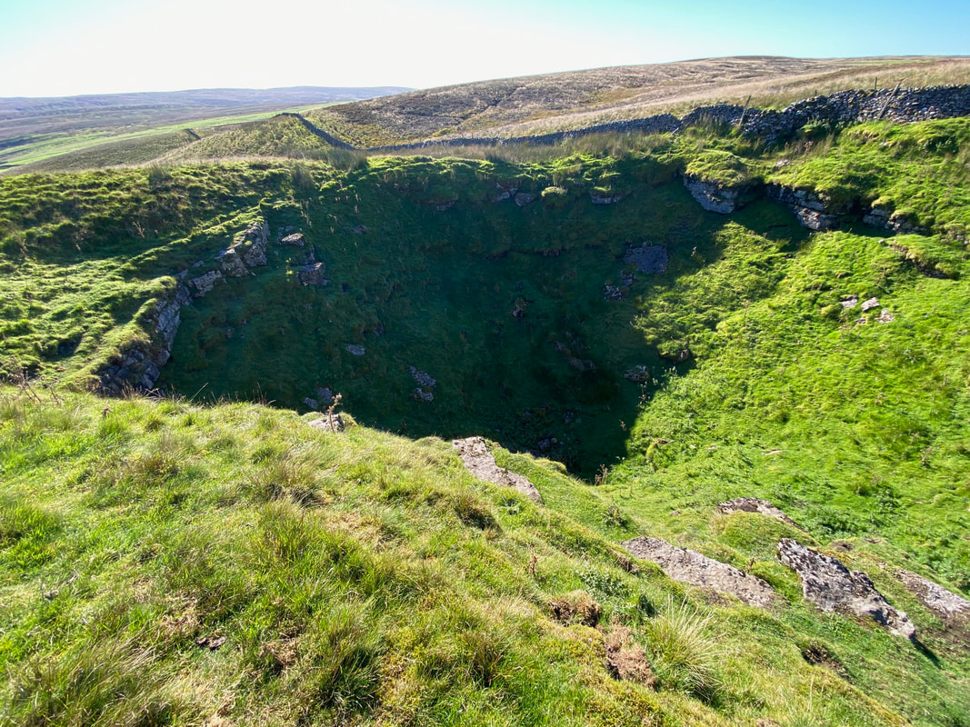
Churn Milk Hole
This large shake hole is a circular depression formed when limestone collapses into a cavity in the rock. Water runs into the shake hole and will eventually erode the rock thus forming a pothole. Churn Milk Hole lies on a fault where the Great Scar meets the Yoredale Strata. It was more than likely given its curious name from when churns of milk were stored in the hole many years before refrigeration.
This large shake hole is a circular depression formed when limestone collapses into a cavity in the rock. Water runs into the shake hole and will eventually erode the rock thus forming a pothole. Churn Milk Hole lies on a fault where the Great Scar meets the Yoredale Strata. It was more than likely given its curious name from when churns of milk were stored in the hole many years before refrigeration.
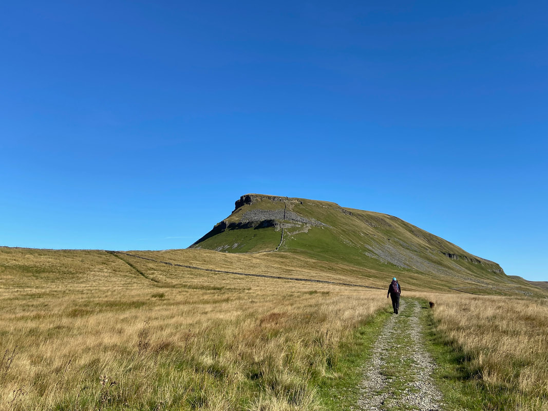
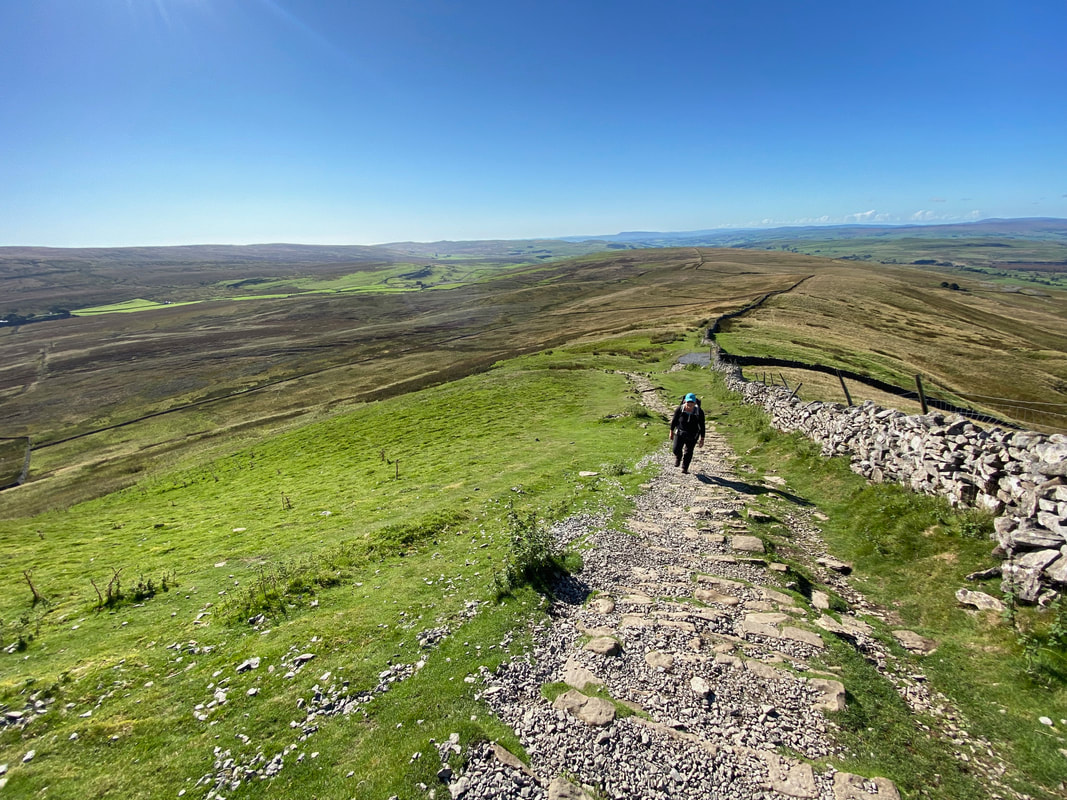
The final approach to begin the short climb up to the summit of Pen-y-ghent
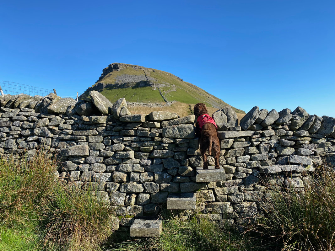
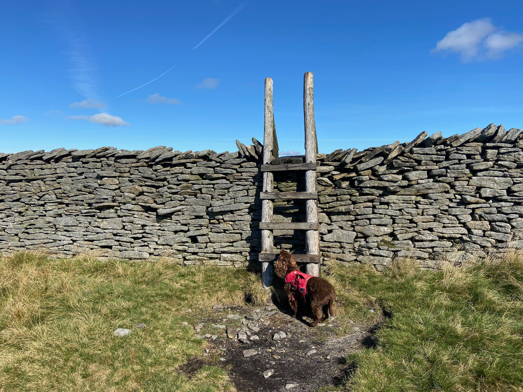
Fudge waits for me to lift him down off the stone stile
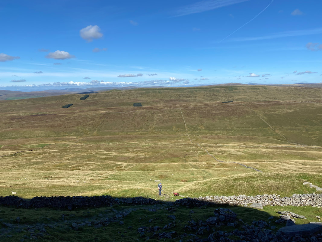
Looking back down the approach to Pen-y-ghent towards Dale Head Farm
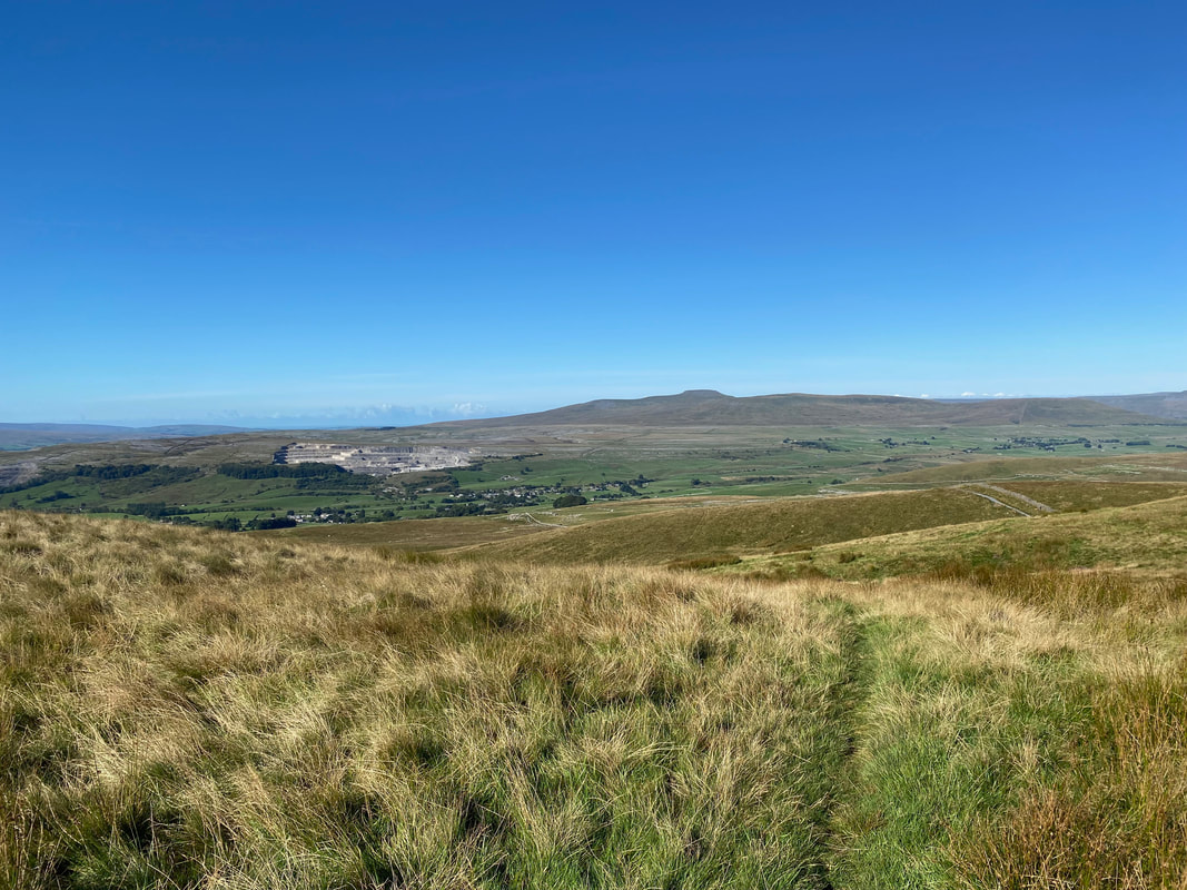
Ingleborough in the far distance, the village of Horton in Ribblesdale to the left with Horton Limestone Quarry to the rear
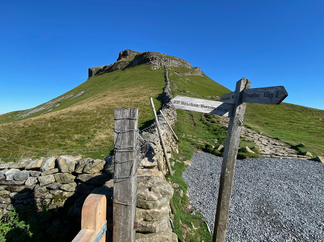
At the path interchange below Pen-y-ghent. The path coming up from the left is from Bracken Bottom just above Horton in Ribblesdale and is the one normally used either starting or ending The Yorkshire 3 Peaks (Y3P). I completed the Y3P in 2013 and a walk report can be found here.
Beginning the ascent of Pen-y-ghent
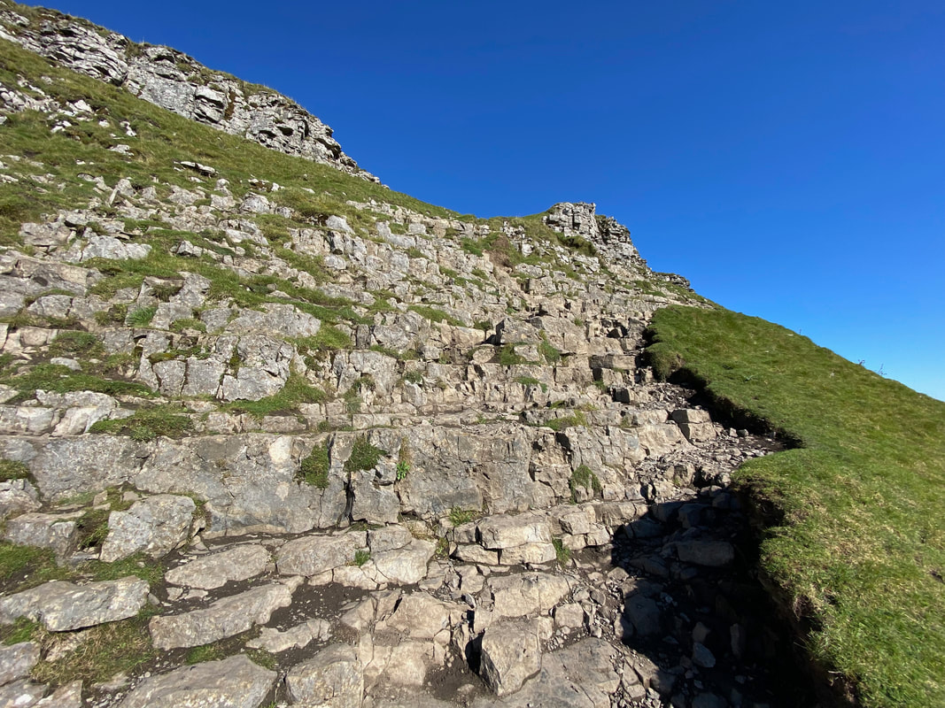
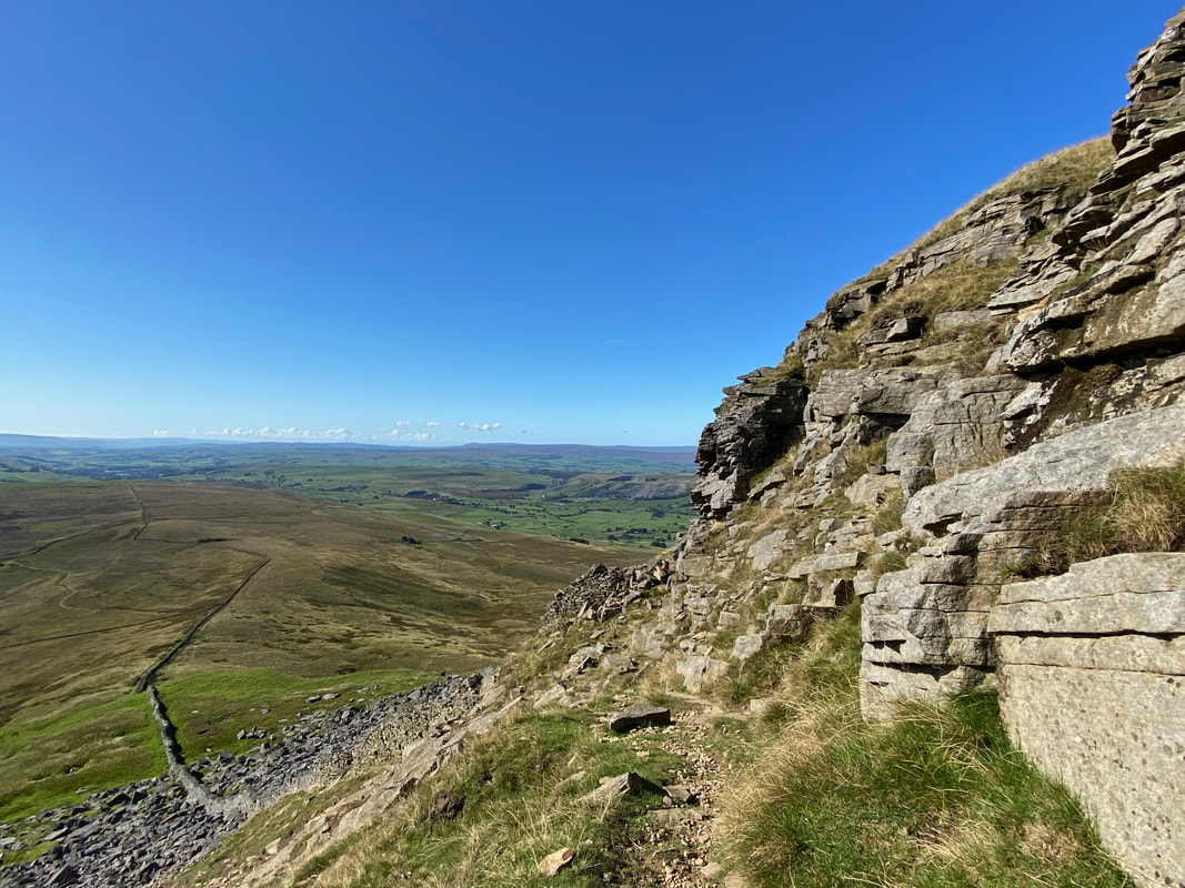
Initially the path rises on a gentle gradient but steepens over stepped limestone
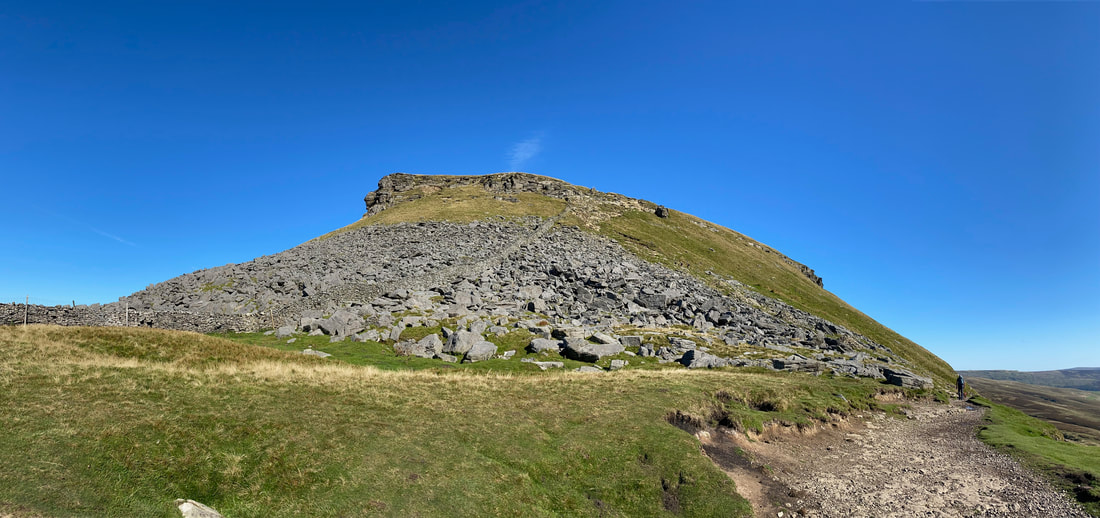
A panorama of the ascent of Pen-y-ghent from the stepped path
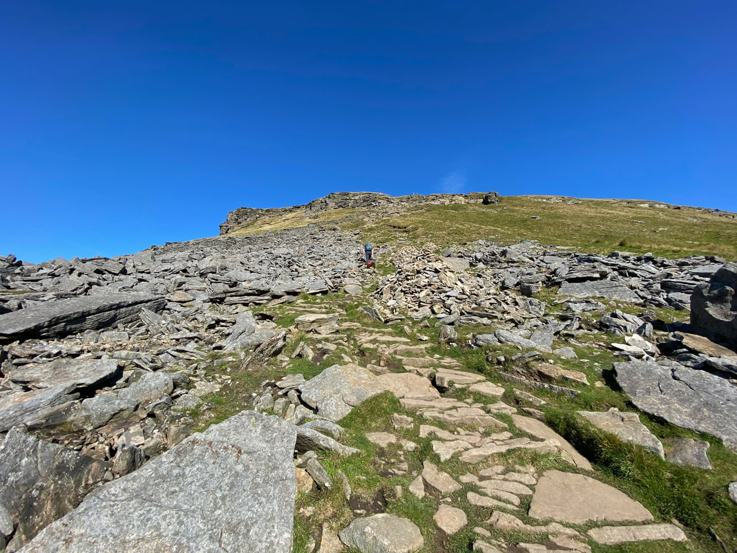
Once past the limestone steps a flagstone path is followed
Looking back down the path from the mid point of the ascent
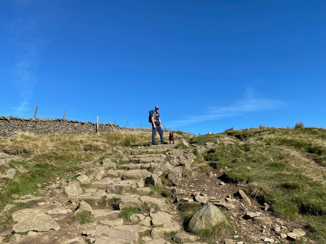
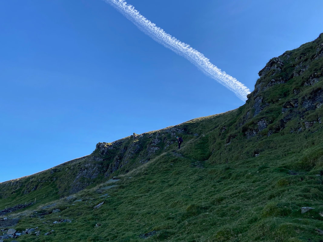
The final part of the ascent and what a view
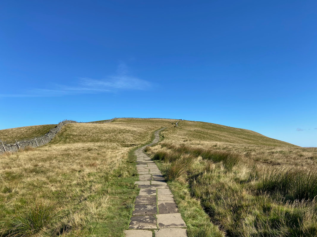
At the top of the climb the path flattens out.........
.......... and joins a gently rising flagstone path to the summit
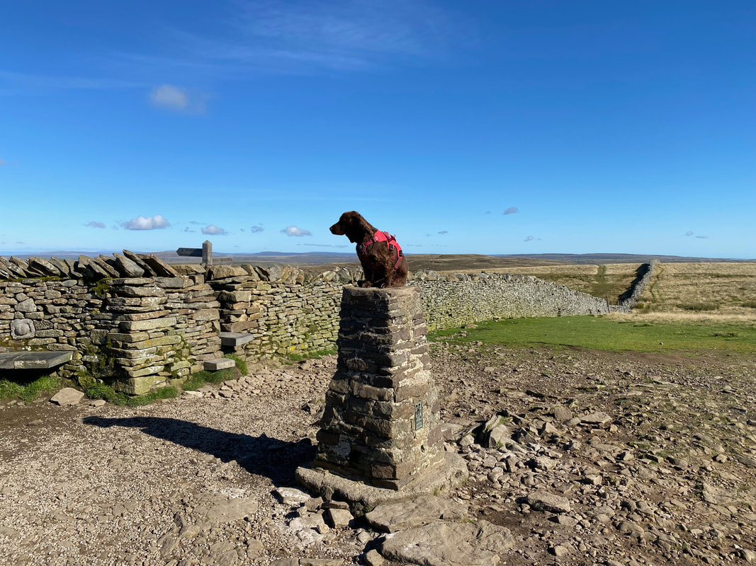
As is tradition - Fudge atop the Trig Point on the summit of Pen-y-ghent. The fells name translates to "Hill on the Border" and is thought to originate from the Cumbric Language. Cumbric was a variety of the Common Brittonic language spoken during the Early Middle Ages in the "Old North" in what is now Northern England and southern Lowland Scotland. It was closely related to Old Welsh and the other Brittonic languages.
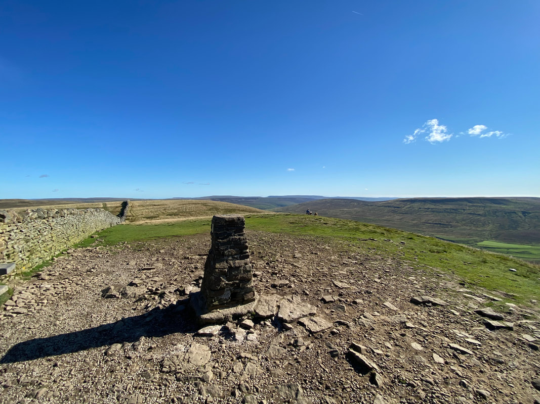
Up on the summit Pen-y-ghent with Plover Hill to the left & Fountains Fell to the right. The actual highest point is 3m SE of the Trig Point.
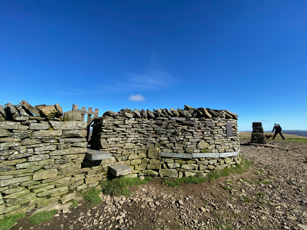
Fudge and his Mum engage in a bit of arsing about as I take a pic of the gate we would go through to begin the transit over to Plover Hill. The plaque to the right of the gate was erected in October 2004 to mark the 50th anniversary of the Yorkshire Dales National Park.
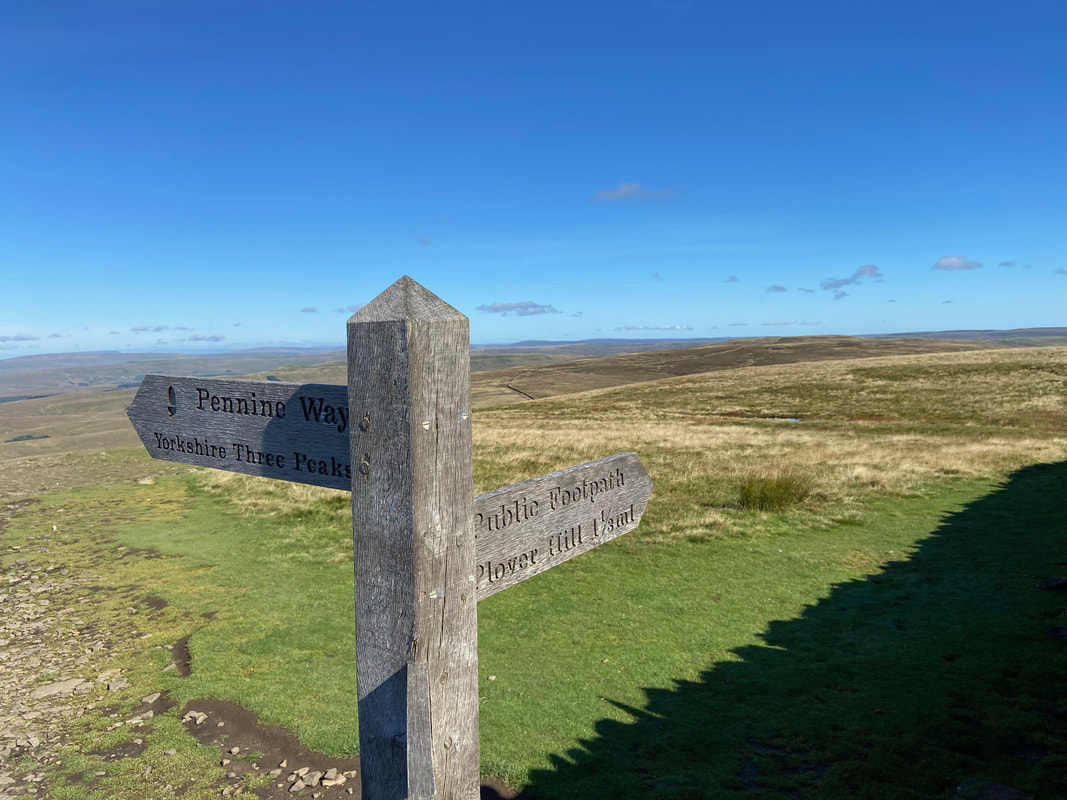
Once through the gate the path splits with the left hand route dropping down to continue on the Y3P. We would handrail the wall we had crossed, keeping it on our right hand side as we headed to Plover Hill.
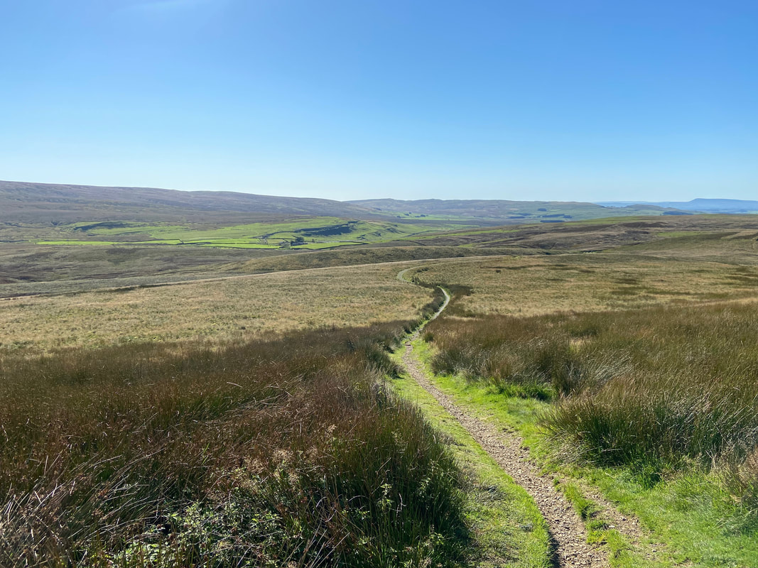
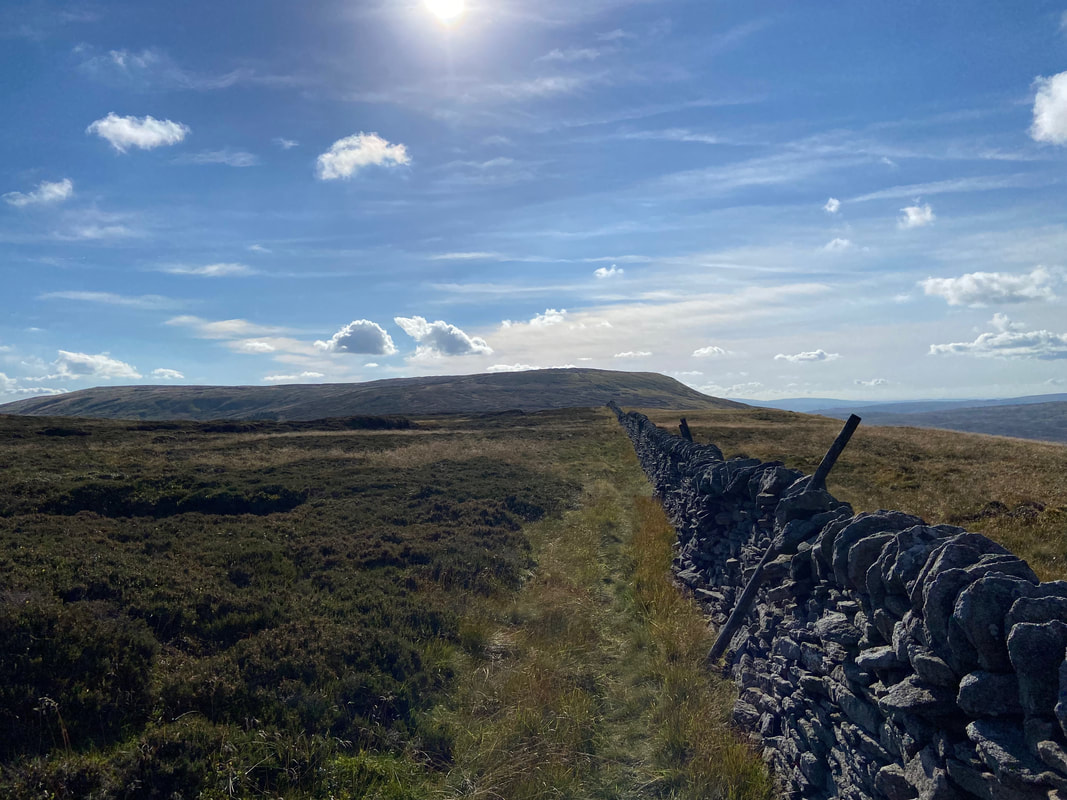
The delightful grassy transit to Plover Hill - simply follow the wall
His Lordship waits at the bottom of the stile until his manservant arrives
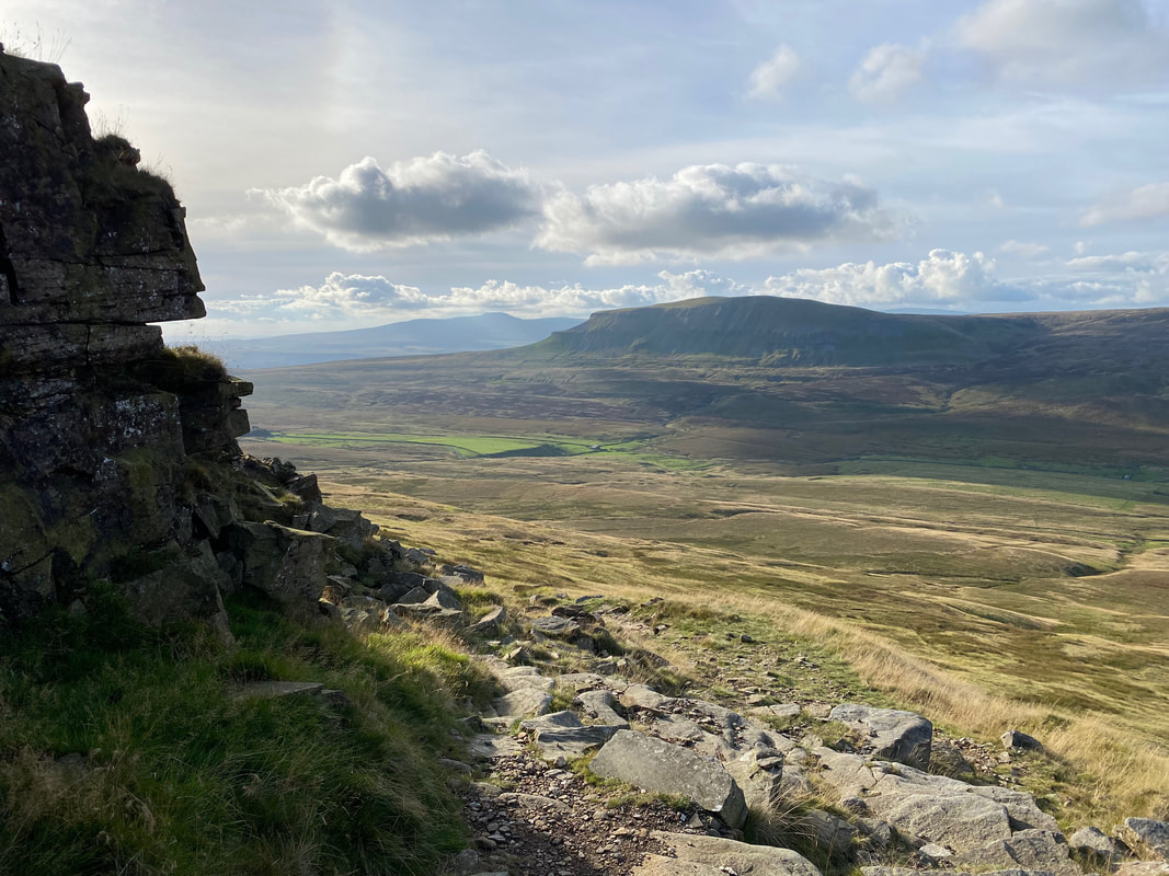
Looking back to Pen-y-ghent from the transit to Plover Hill
The summit of Plover Hill
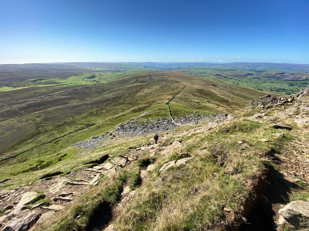
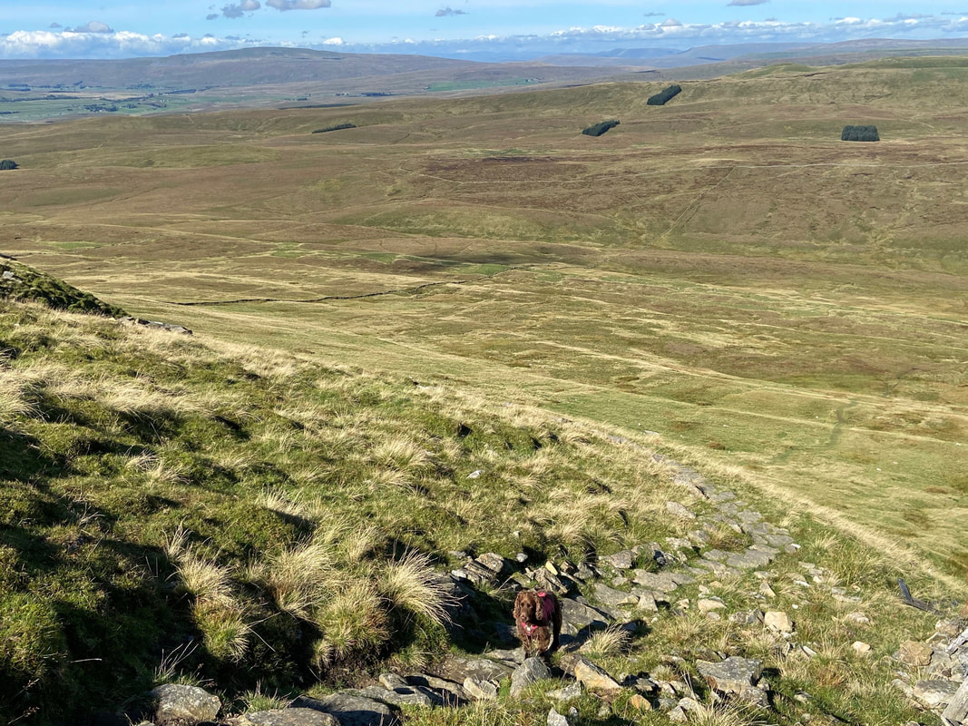
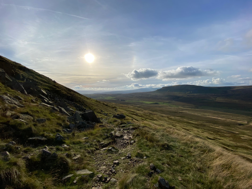
From the summit of Plover Hill the path descends steeply across the fell side
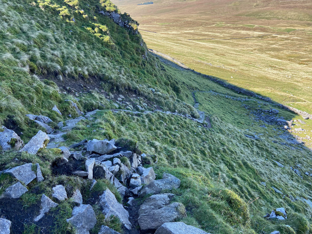
The steepness increases lower down and it is worth taking your time over the loose and stony ground.
Angie making the steep descent from Plover Hill
The steep path zig zags a couple of times and eventually the gradient relents as the track known as the Foxup Road is approached.
Back on the valley floor now as we eventually reach the Foxup Road on the Pennine Journey path. We were last here in 2019 when we walked The Pennine Journey - a link to that walk report is here.
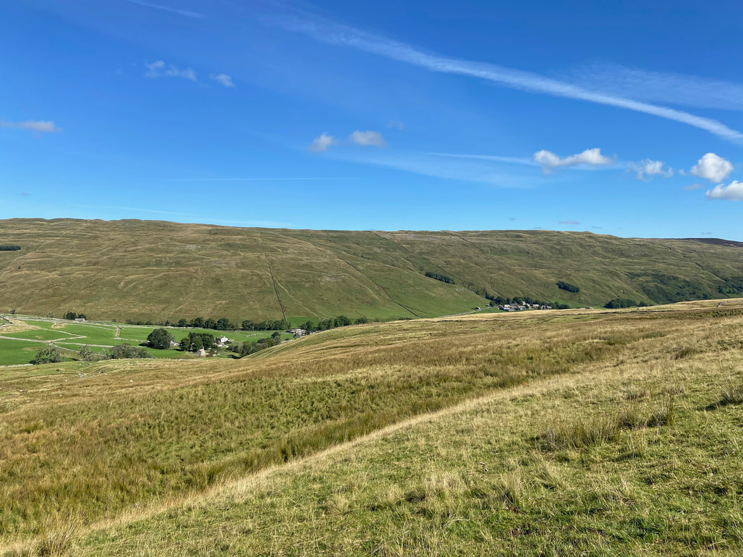
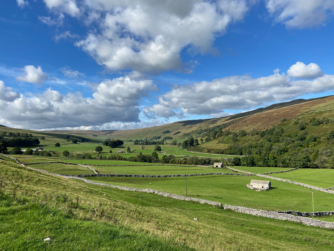
Looking to the hamlets of Foxup to the left & Halton Gill to the right at the head of the beautiful dale of Littondale
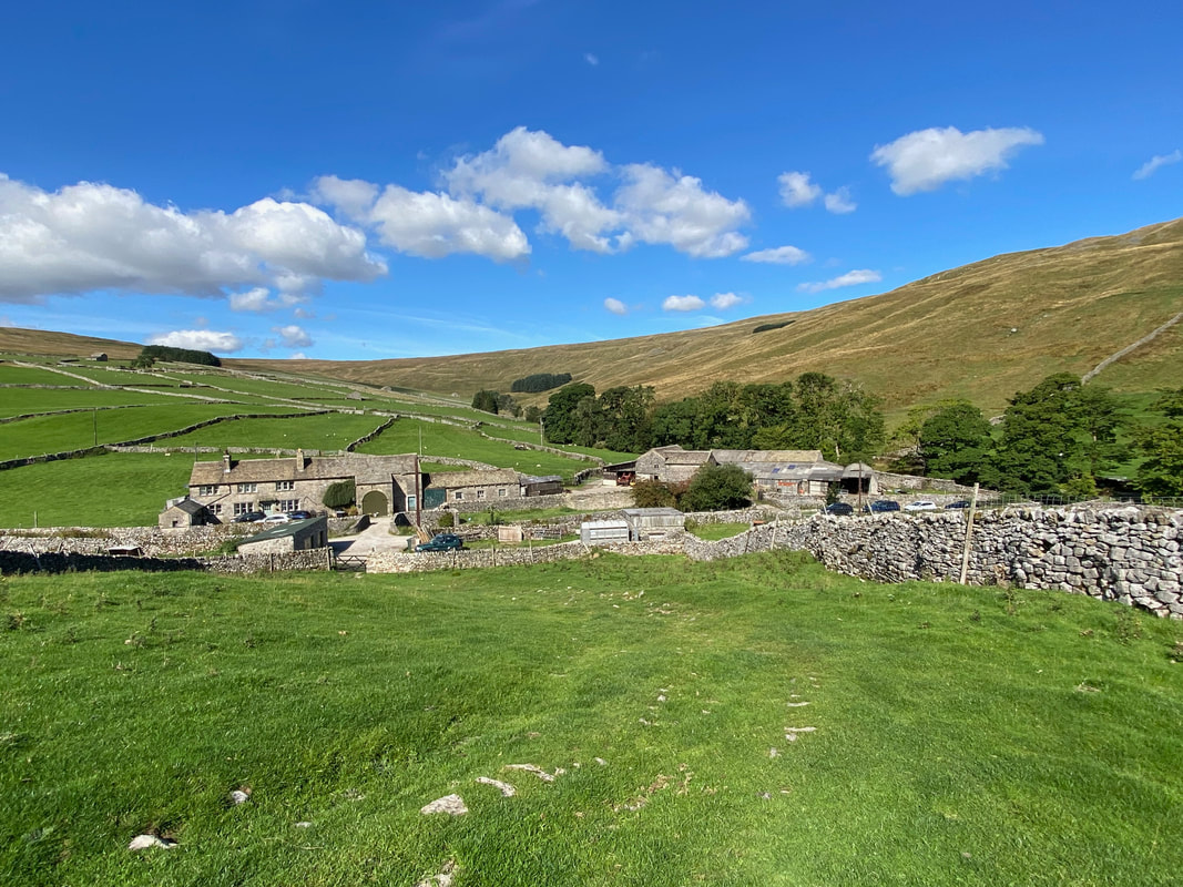
Foxup
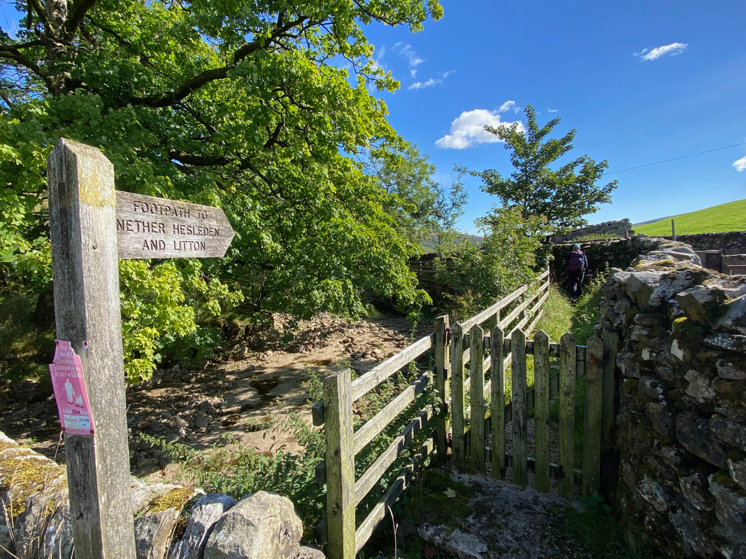
From Foxup the path heads to Nether Hesleden to the right of the dry River Skirfare just below Halton Gill
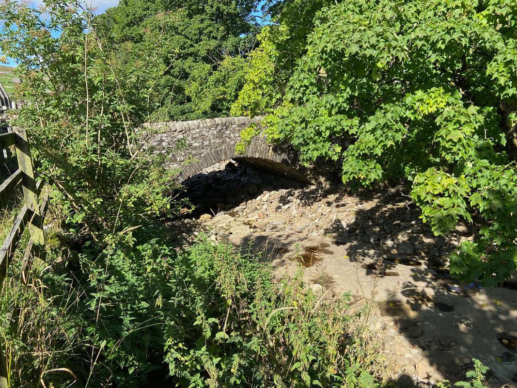
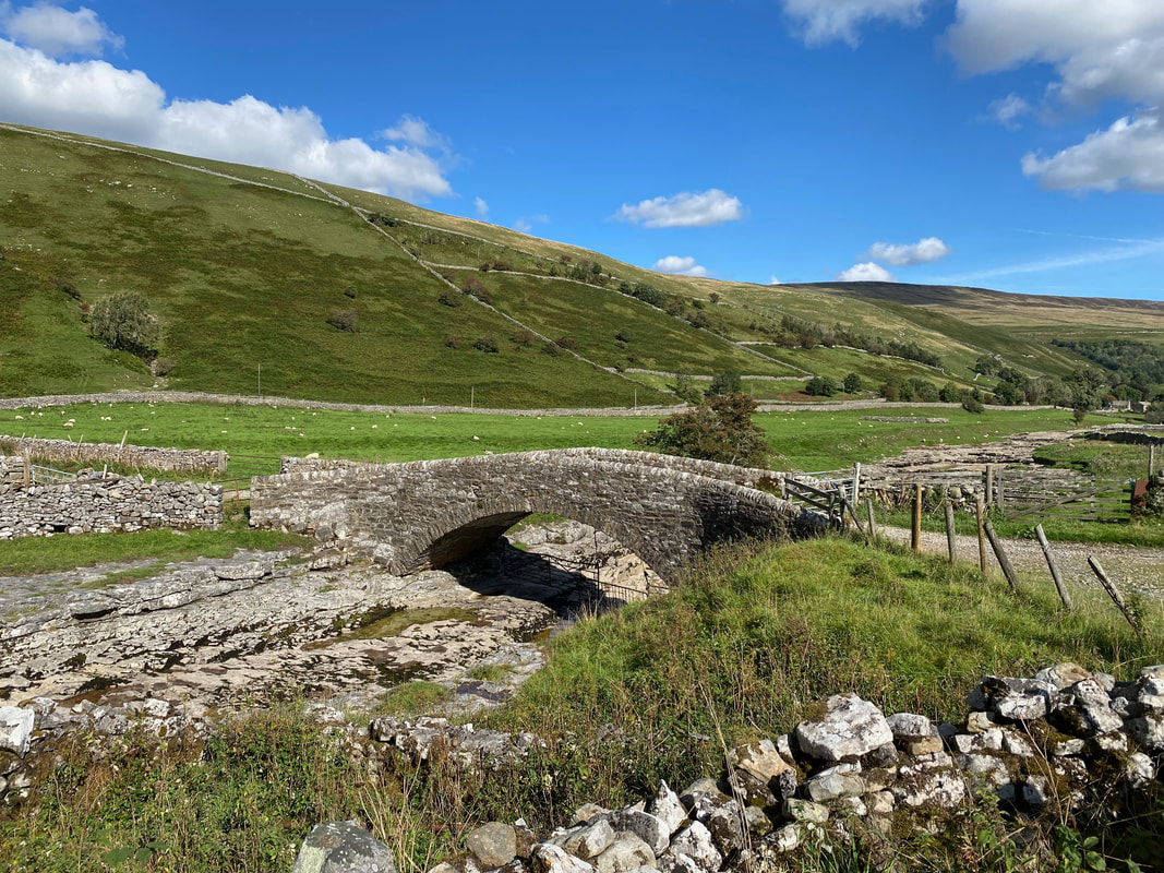
Foxup Bridge over the bone dry River Skirfare
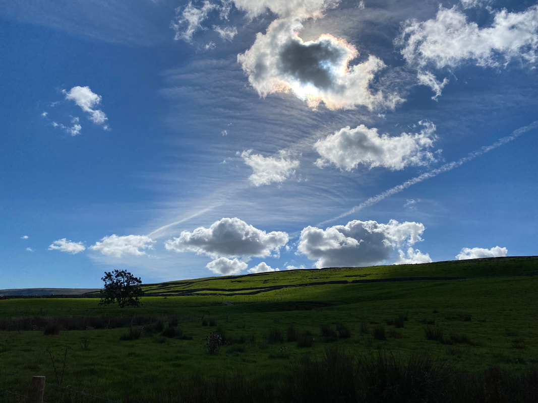
Beautiful cloud formations as we head along the path towards Nether Hesleden
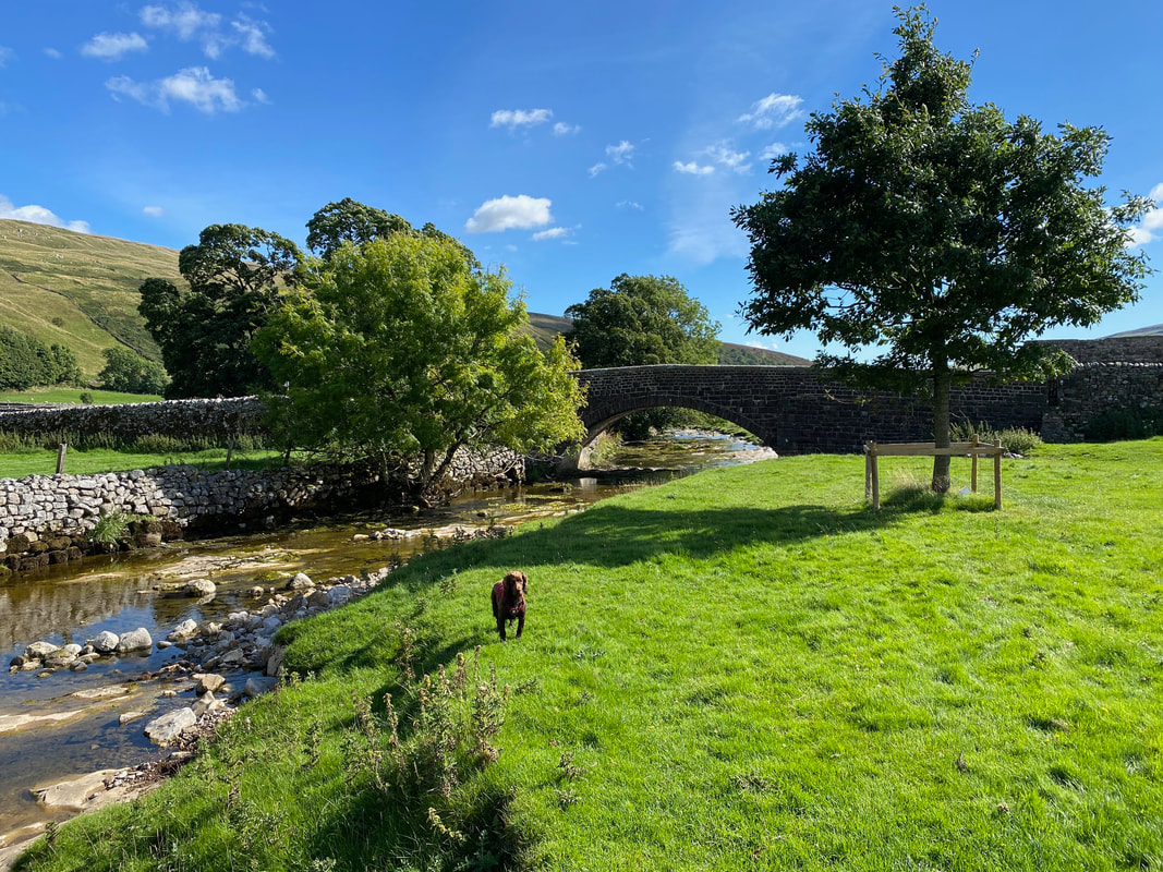
At last some water for Fudge to dip his paws in as we pass by Halton Gill Bridge
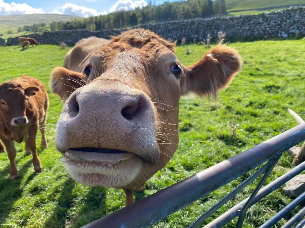
Getting up close & personal with the local bovines. We had to divert slightly at this point just in case they took exception to us passing through their manor. Sometimes it pays to find an alternative route, particularly in this case with young being present in the field also.
Heber Side Barn
At New Bridge it was time to turn to the west and head in the direction of Darnbrook Fell. If we had carried straight on through the dale we would have reached Litton which has a delightful pub.
Looking back down Littondale towards Halton Gill - Nether Hesleden is to the left
From New Bridge the route heads gently up a track. This is apparently an old way once used by the monks of Fountains Abbey and Sawley Abbey both of which owned sheep pastures in Littondale.
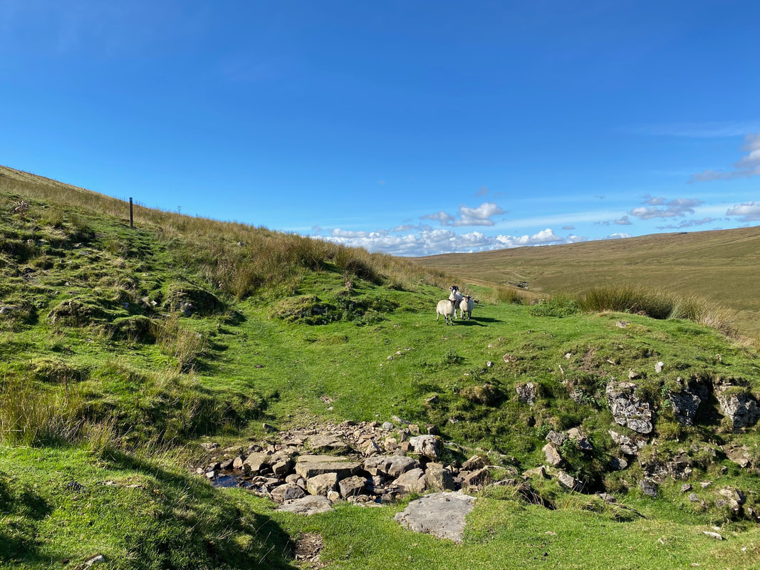
More locals to meet as we turn to the south to begin the ascent of Darnbrook Fell
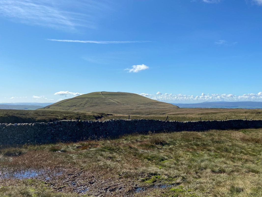
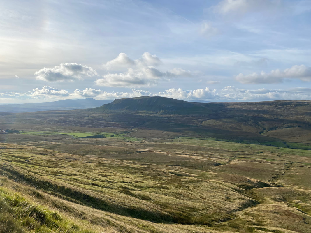
Pen-y-ghent & Plover Hill from the ascent of Darnbrook Fell
Approaching the summit of Darnbrook Fell
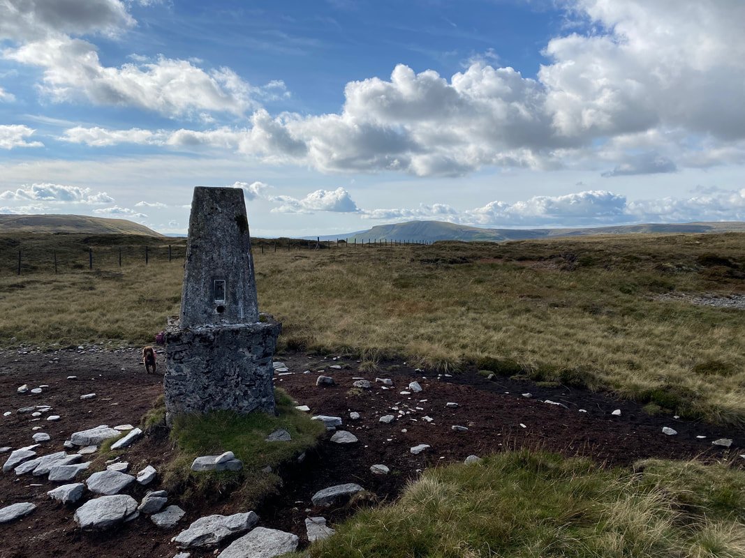
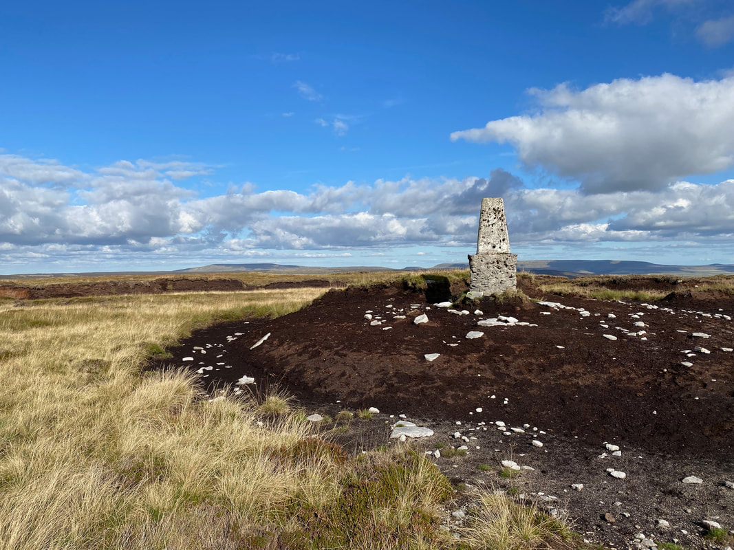
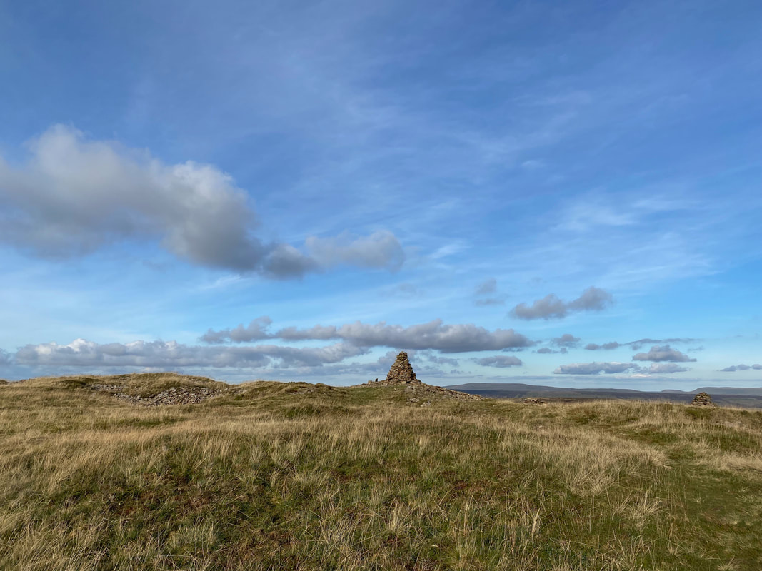
The summit of Darnbrook Fell - as can be seen there has been quite a bit of erosion since the Trig Point was erected.
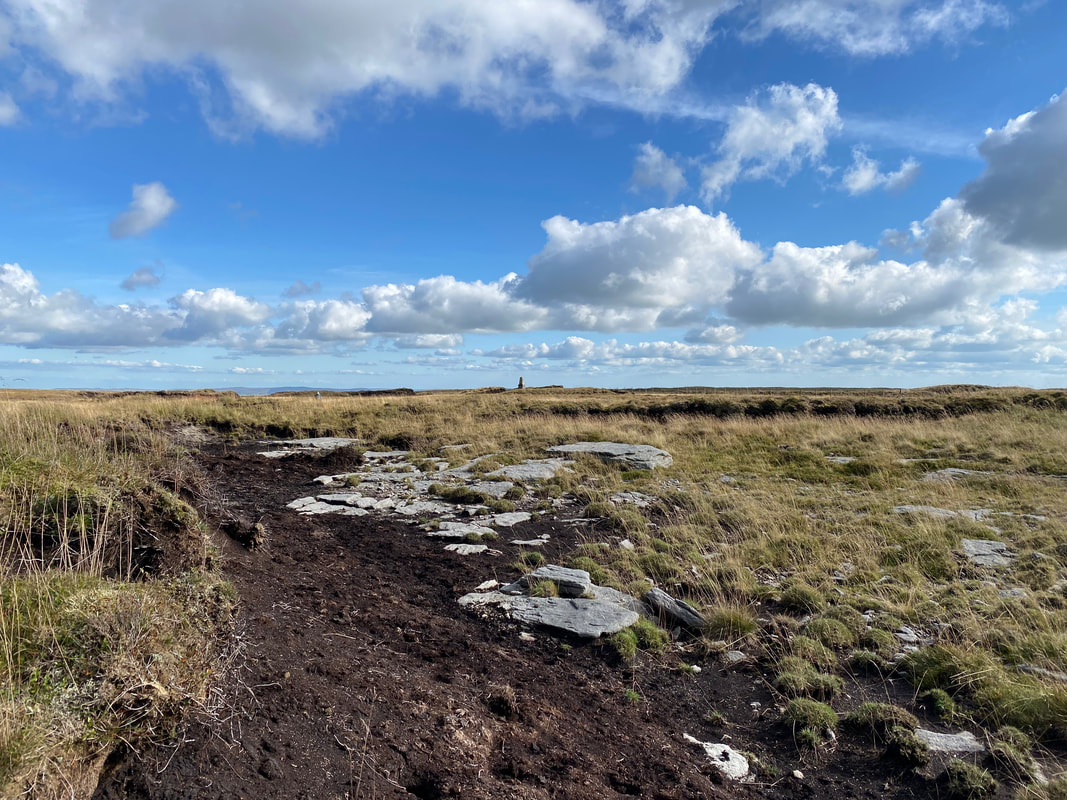
Another view of the erosion up on the summit of Darnbrook Fell
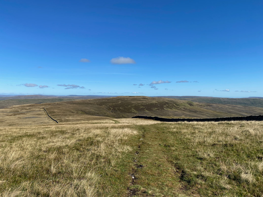
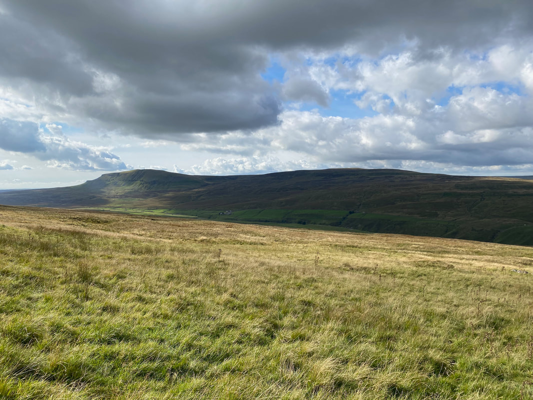
Leaving Darnbrook Fell for Fountains Fell which is over to the left with Pen-y-ghent centre
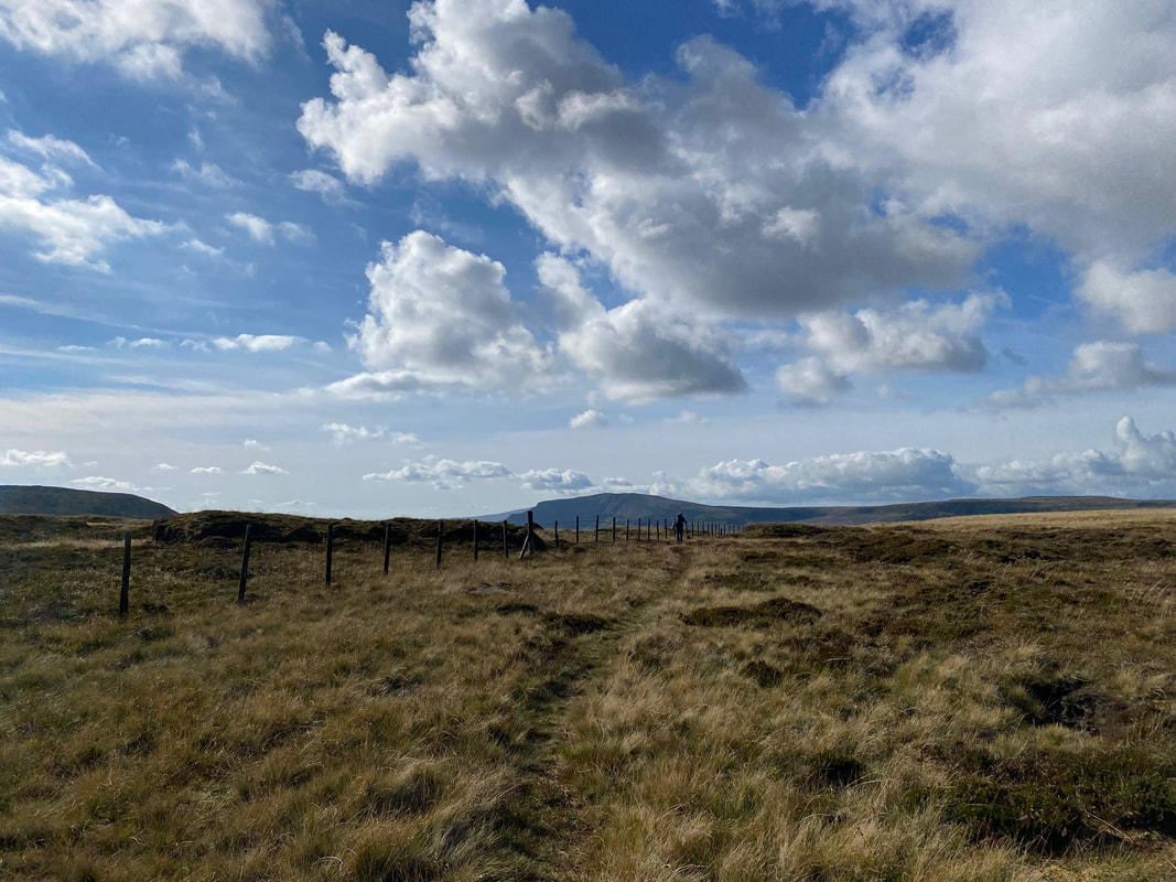
The path crosses the wall via a gate and continues to Fountains Fell. The fell's South Top is to the left and would be our first port of call.
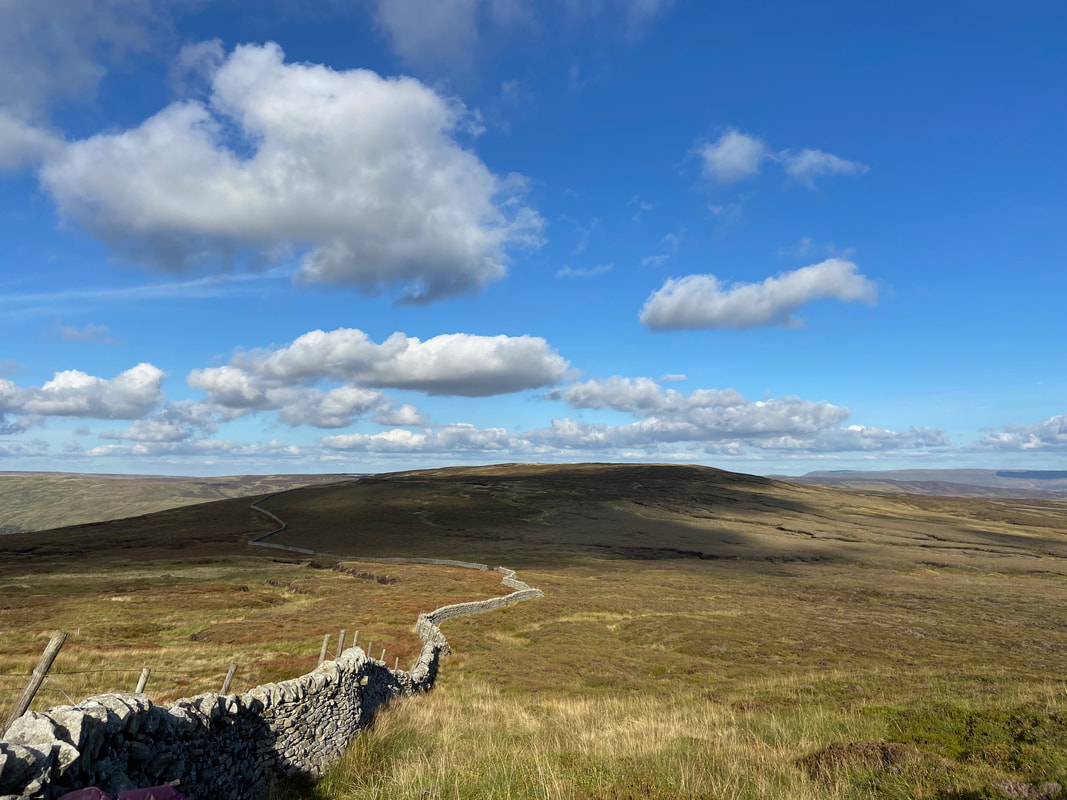
Looking back to Darnbrook Fell from the ascent of Fountains Fell
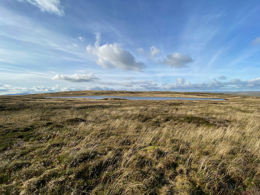
Fountains Fell Tarn
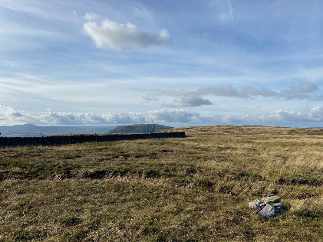
The summit of Fountains Fell South Top looking to Ingleborough & Pen-y-ghent
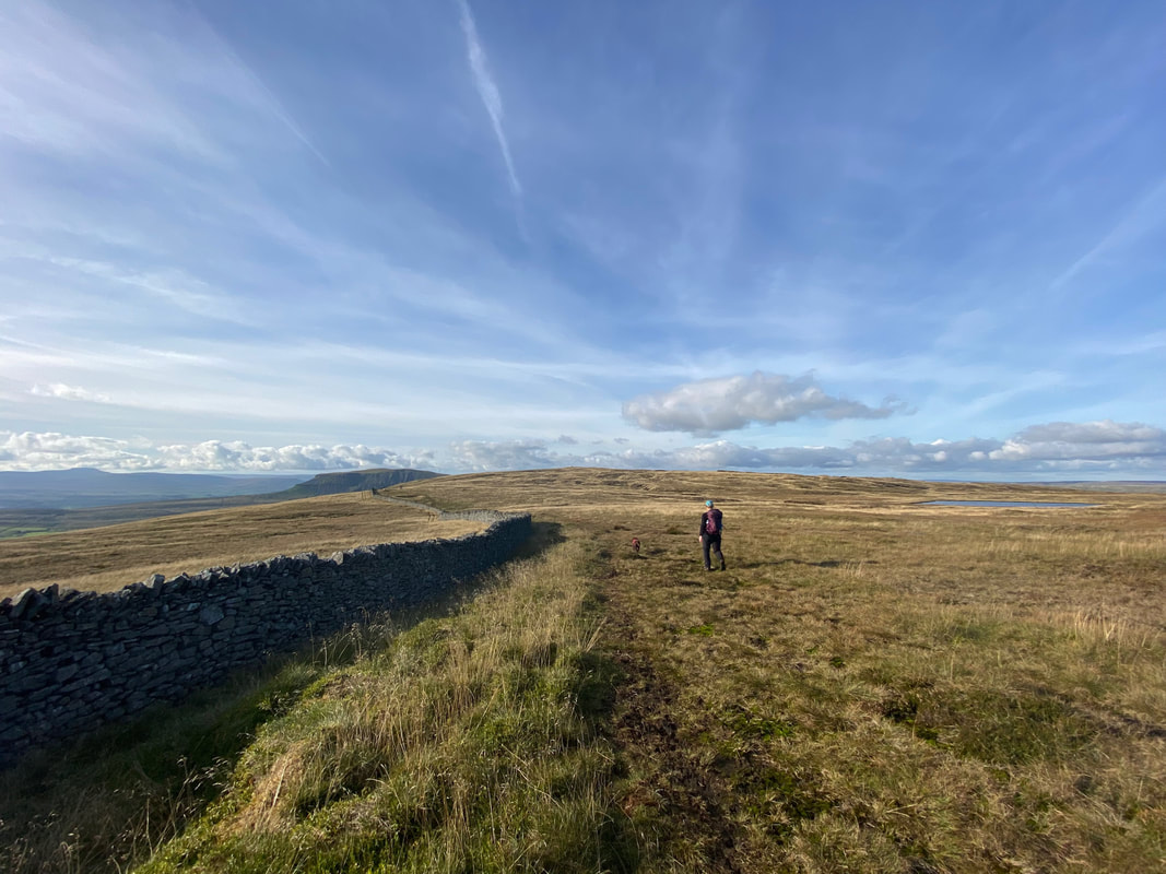
The route to Fountains Fell's summit handrails a wall with the tarn to the right
A victorious Fudge on the summit of Fountains Fell
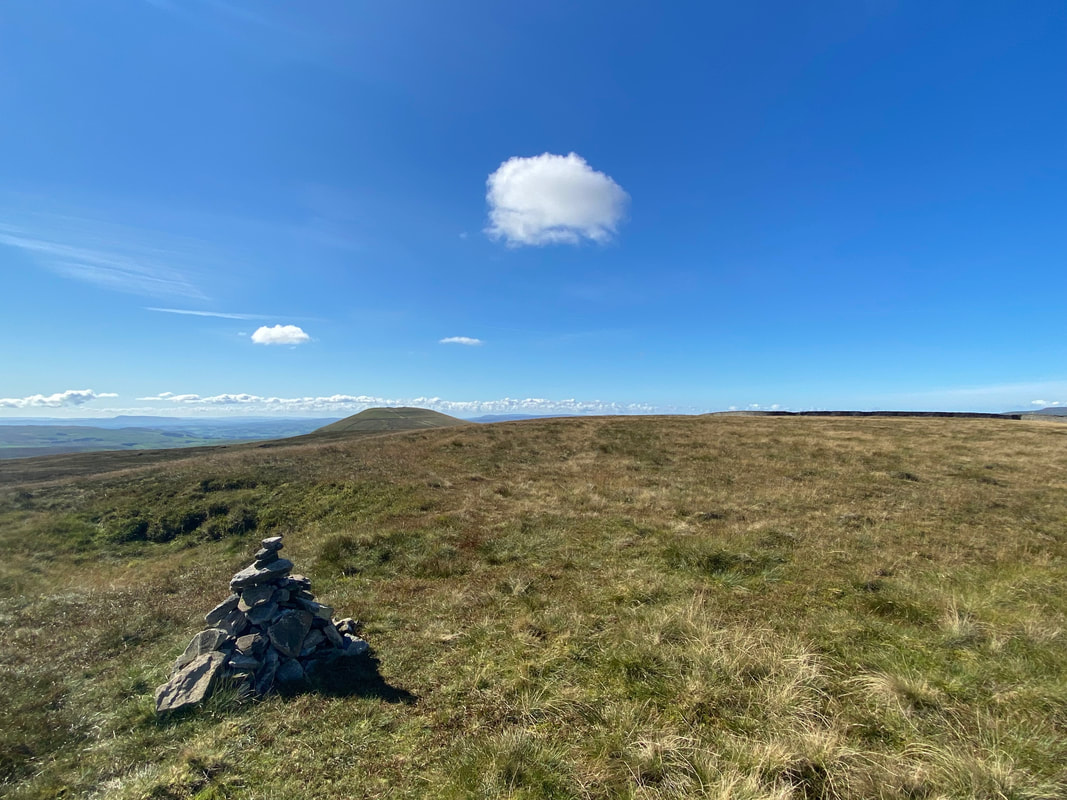
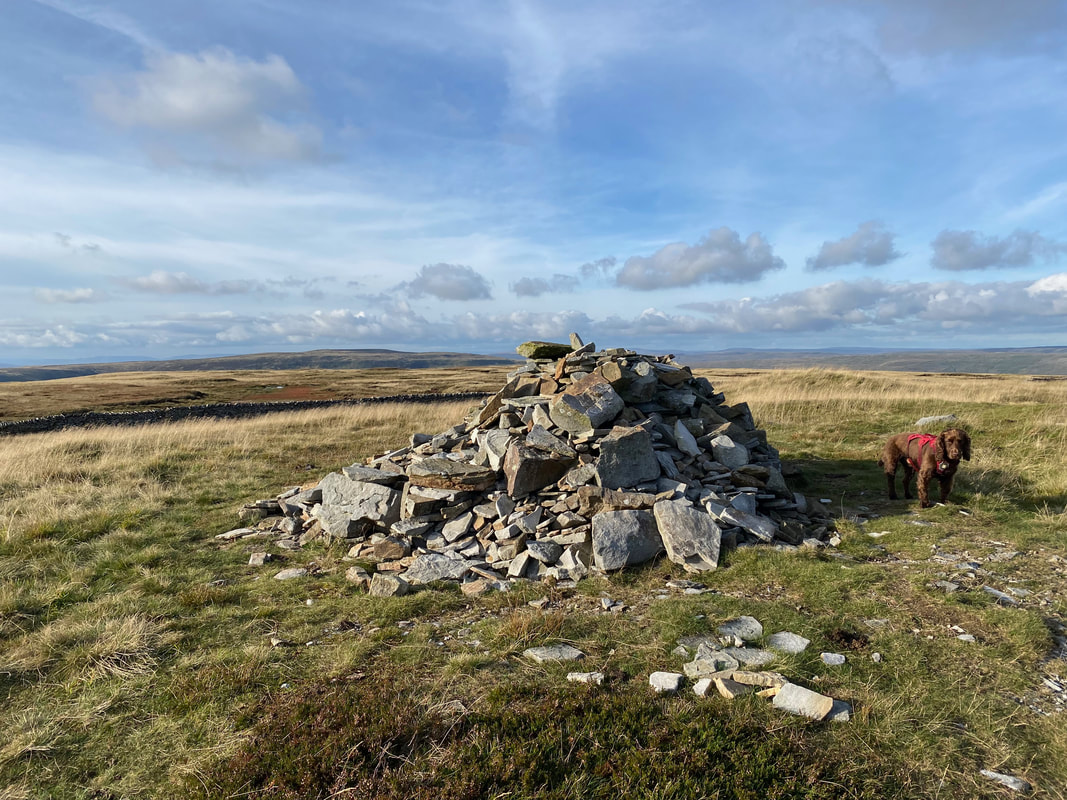
From Fountains Fell the route heads around to the north east to join The Pennine Way near a large cairn
Pen-y-ghent ahead of us as we begin our descent from Fountains Fell to the Silverdale Road via The Pennine Way
The descent from Fountains Fell is similar to that of the one from Plover Hill but a lot less steep
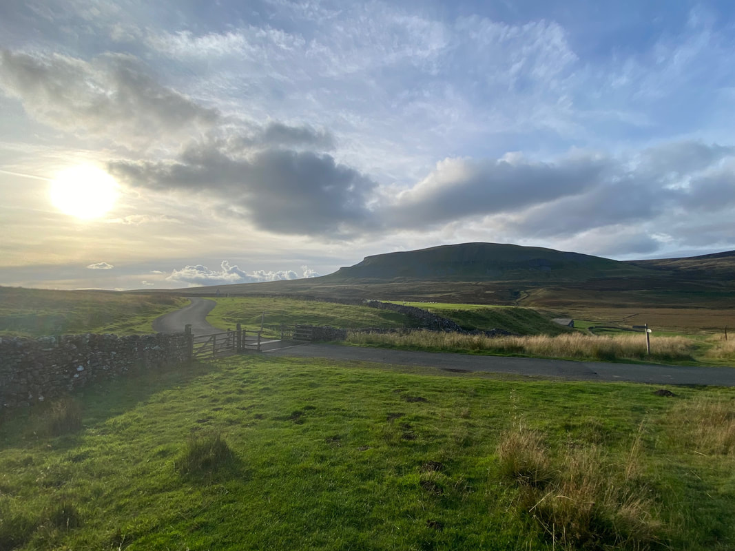
The sun begins to set as we near the Silverdale Road - the conditions now were just perfect
Back down on the Silverdale Road as we head to Rainscar and onward to the car at Dale Head Farm
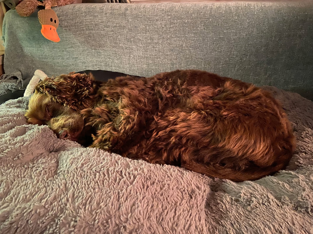
Someone has had a cracking but tiring day out - his duck looks on in approval
