Catrigg Force, Victoria Cave, Attermire Scar & Giggleswick Scar - Tuesday 1 March 2022
Route
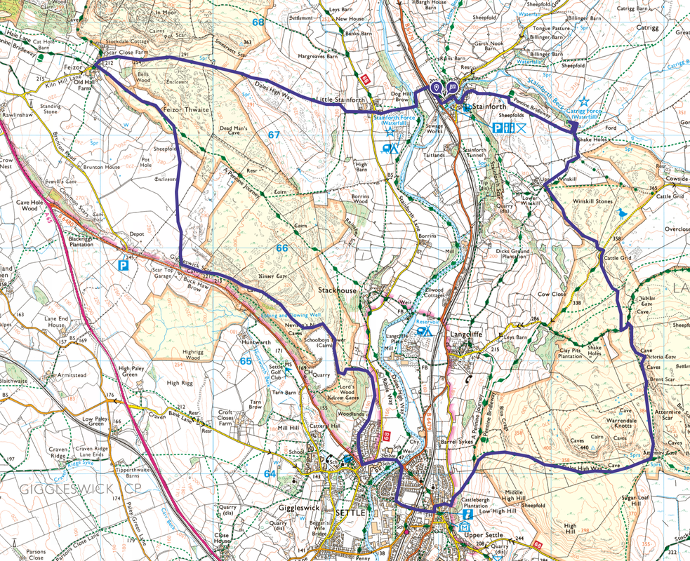
Stainforth - Pennine Bridleway - Catrigg Force - Winskill - Victoria Cave - Attermire Scar - Dales High Way - Settle - Nevison's Nick - Giggleswick Scar - Feizor - Dales High Way - Little Stainforth - Stainforth Force - Stainforth
Parking
Stainforth Village Car Park (Charge) just off the B6479 as it enters the village. The Grid Reference is SD 821 673 and the nearest postcode is BD24 9QB.
Mileage
11.6 miles
Terrain
Clear moorland farm tracks, paths and limestone pavements. There is some road walking on quiet lanes. Care needs to be taken in and around Catrigg Force & Victoria Cave where there are some steep drops but if you keep to the paths then there should be no difficulties.
Weather
Perfect - sunshine & light breezes.
Time Taken
5hrs 40mins
Total Ascent
2050ft (625m)
Map
OL2 Yorkshire Dales - Southern & Western Areas
Walkers
Dave, Angie & Fudge
|
GPX File
|
| ||
If the above GPX file fails to download or presents itself as an XML file once downloaded then please feel free to contact me and I will send you the GPX file via e-mail.
Route Map
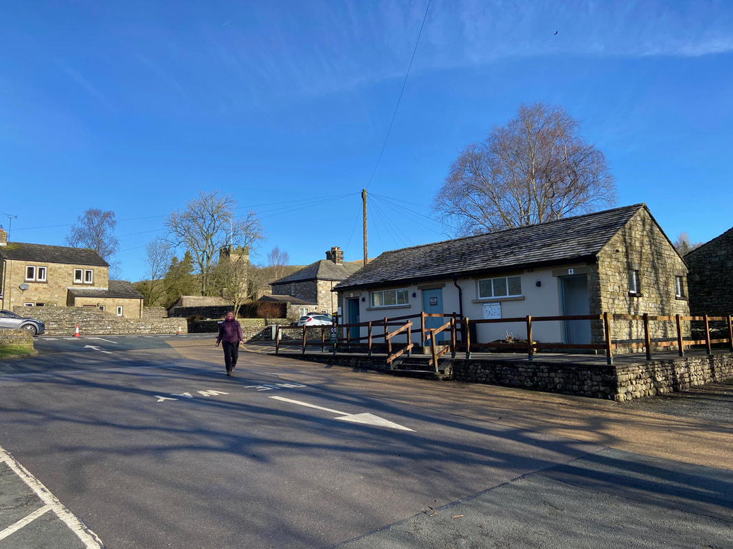
Angie returning to the car having paid our wedge for today's parking. The Car Park is just off the B6479 as it enters Stainforth village.
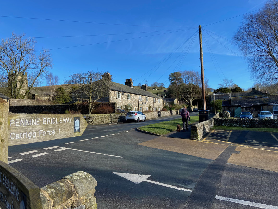
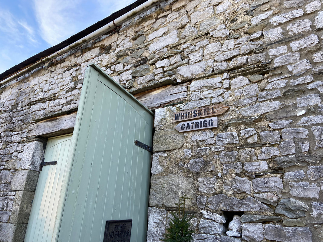
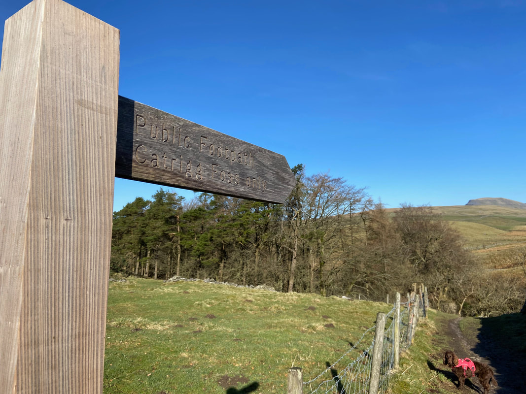
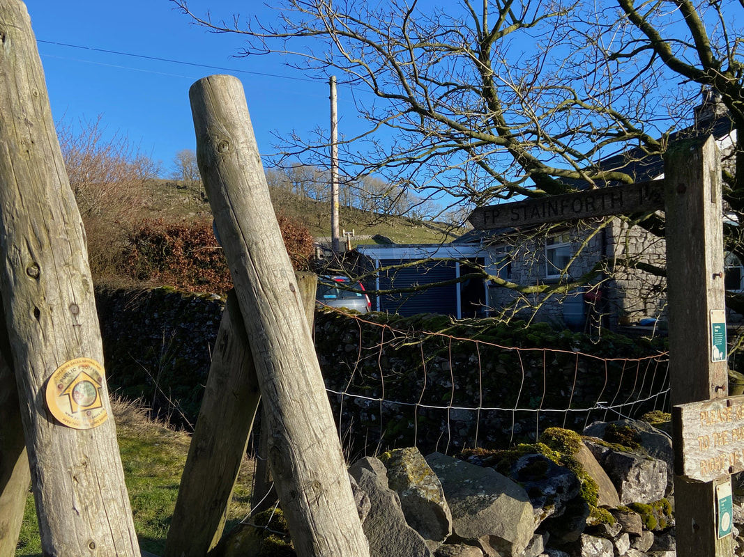
From the Car Park the route heads into Stainforth following the signs to Catrigg Force
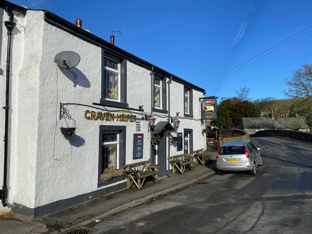
Been past here several times and have yet to see the pub open - mind you it was just past 1000 when we wandered through
We continued to follow the signs to Catrigg although we would end up at Winskill later
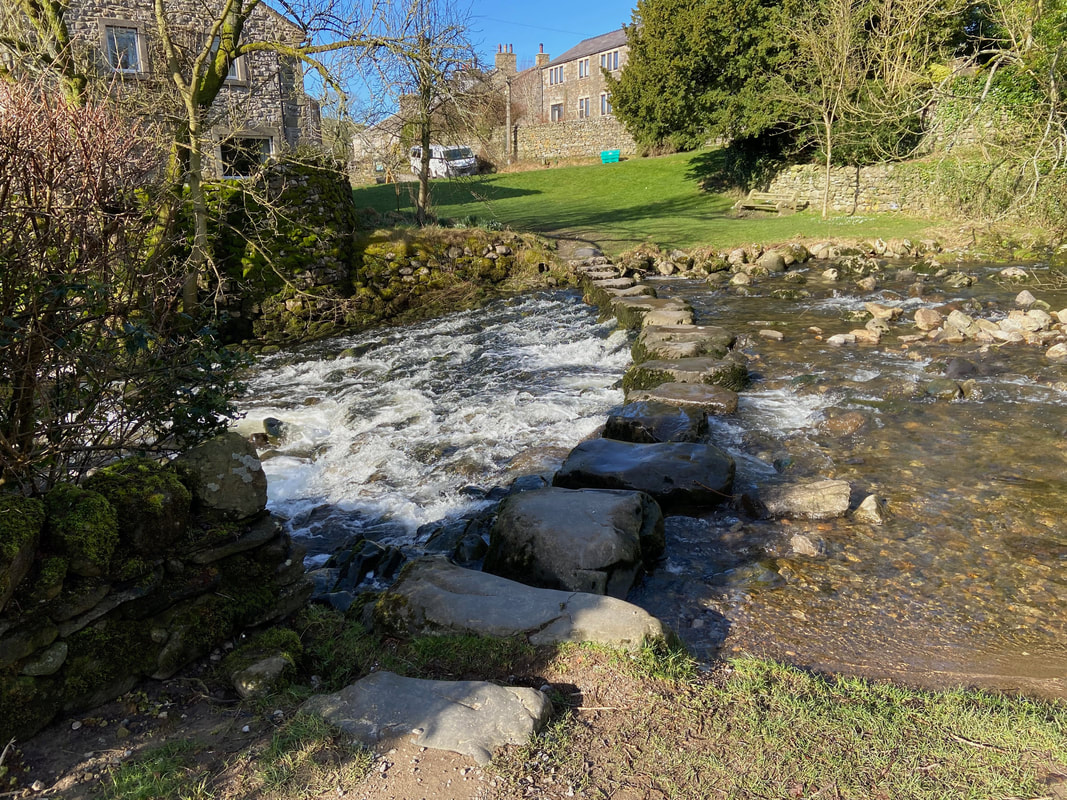
The ancient stepping stones over Stainforth Beck. We have crossed these a few times but today we would pass them by to the left.
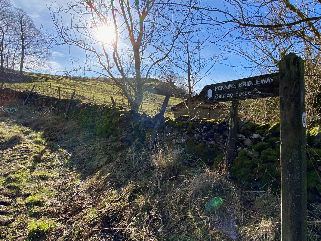
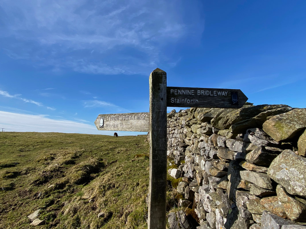
From the village the route joins the Pennine Bridleway. Designed mainly for equestrians & mountain bikers, the Pennine Bridleway runs through fantastically diverse countryside, starting in the White Peak area of Derbyshire and finishing on the edge of the Howgill fells in Cumbria.
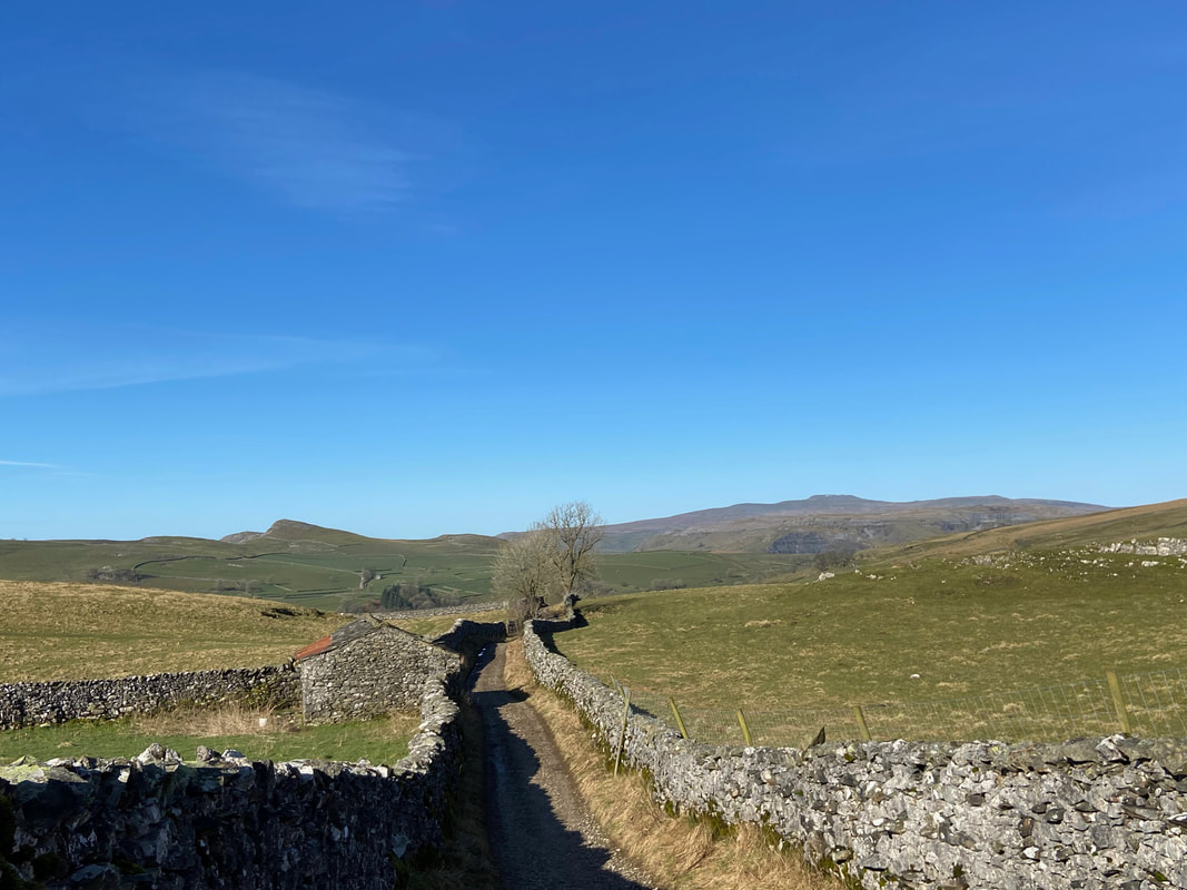
The Pennine Bridleway continues as a sunken lane and looking back gives a view to Ingleborough which is to the right
From the Pennine Bridleway a short detour leads to Catrigg Force - after visiting the waterfall we would come back to this point and then continue on to Winskill. Meanwhile an impatient Fudge knows there is a whole load of water down there to arse about in.
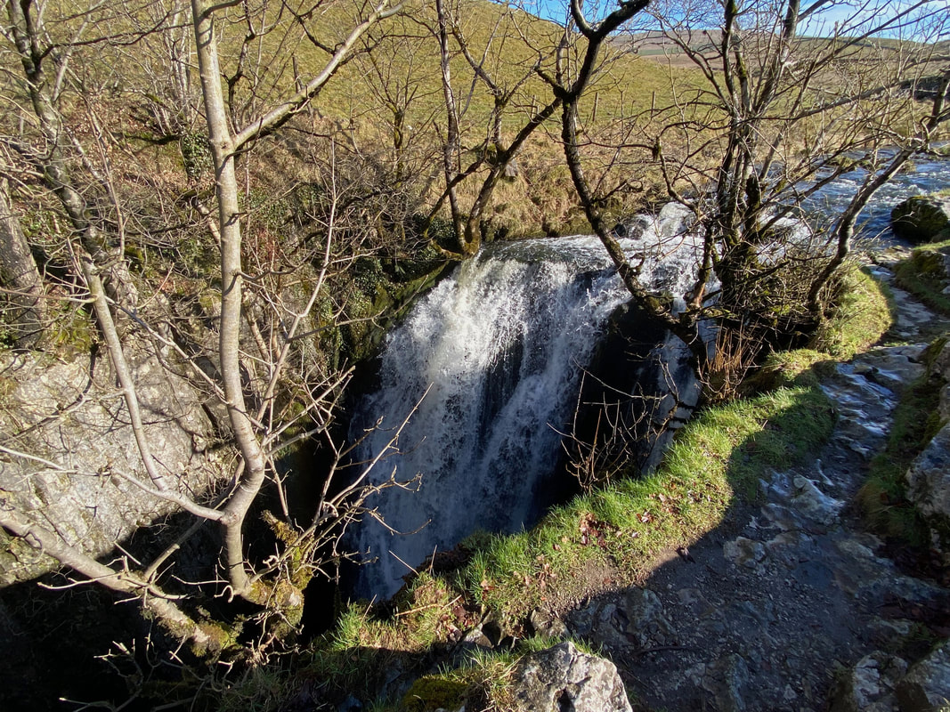
The top of Catrigg Force (or locally "Foss")
May the Force be with you (click Play to view)
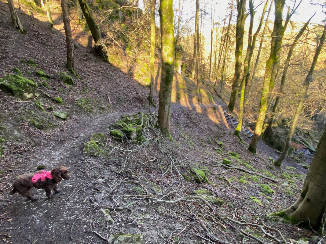
A path leads away from the top of the force to the left. This path drops down steeply to reach steps (seen below) which leads to the base of the waterfall.
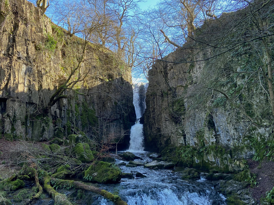
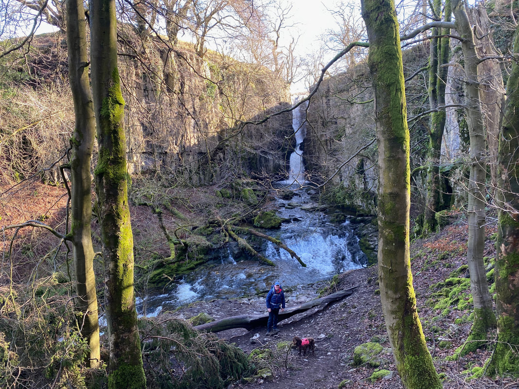
And here it is - this is about as far as one can go unless you want to get soaked. Both the top and bottom of the waterfall are enchanting spots and it is worth spending a bit of time here.
Catrigg Force from below (click Play to view)
The view of Catrigg Force from the access steps
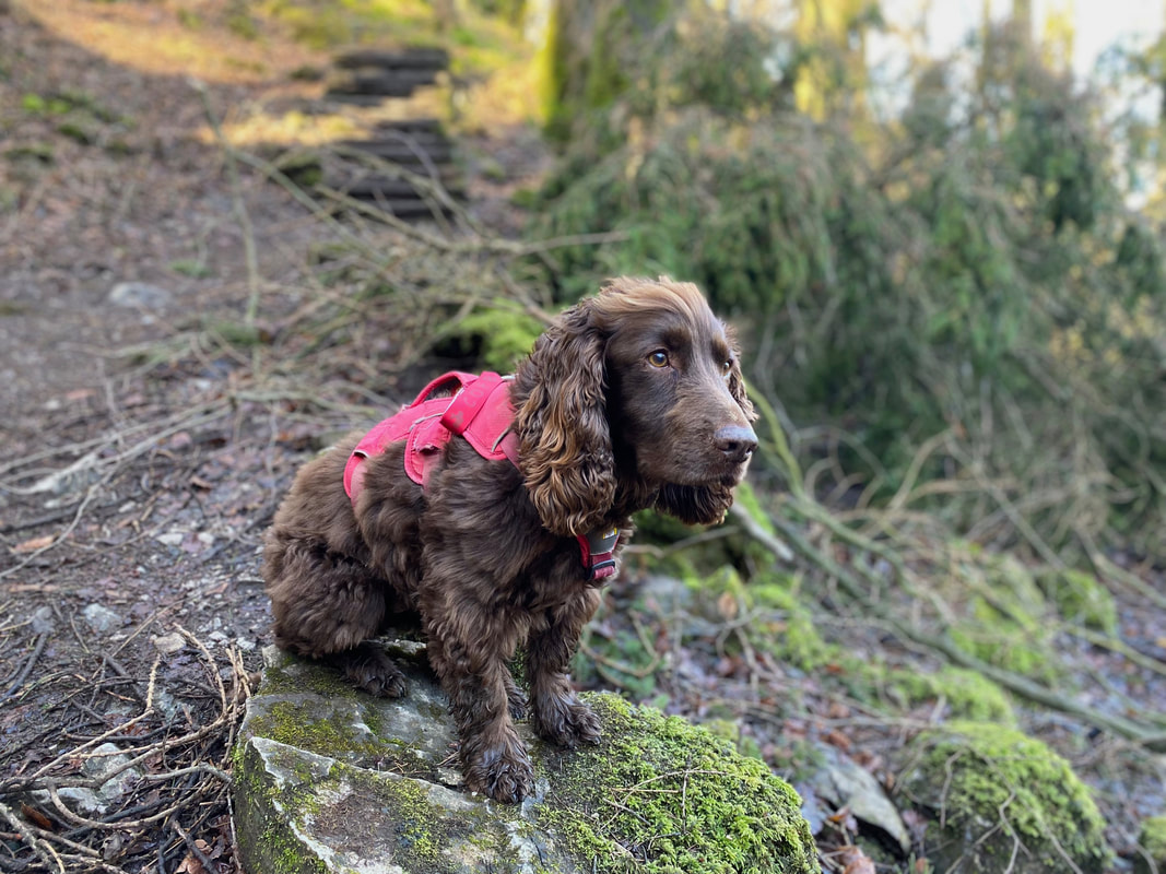
Sulking because he can't go in the water
Having left Catrigg Force we rejoined the Pennine Bridleway and headed to Winskill - Pen-y-ghent is now in view to the rear
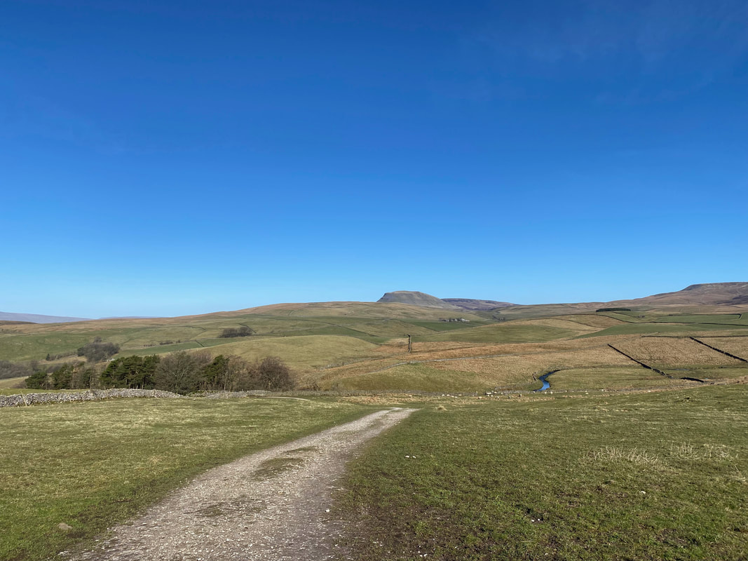
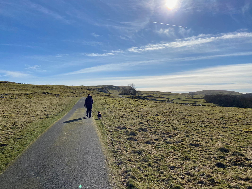
Lovely open farmland walking now as we head for Winskill
From the farm buildings at Winskill we headed along an access track over Winskill Stones
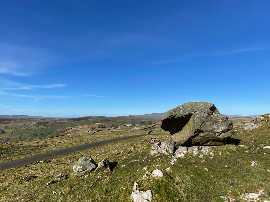
The track continued past a large erratic boulder
Tons of limestone about now as we continue along the Pennine Bridleway
Just past a cattle grid the Pennine Bridleway swings away to the right as we headed to the left
Looking back to the cattle grid as we head to Victoria Cave
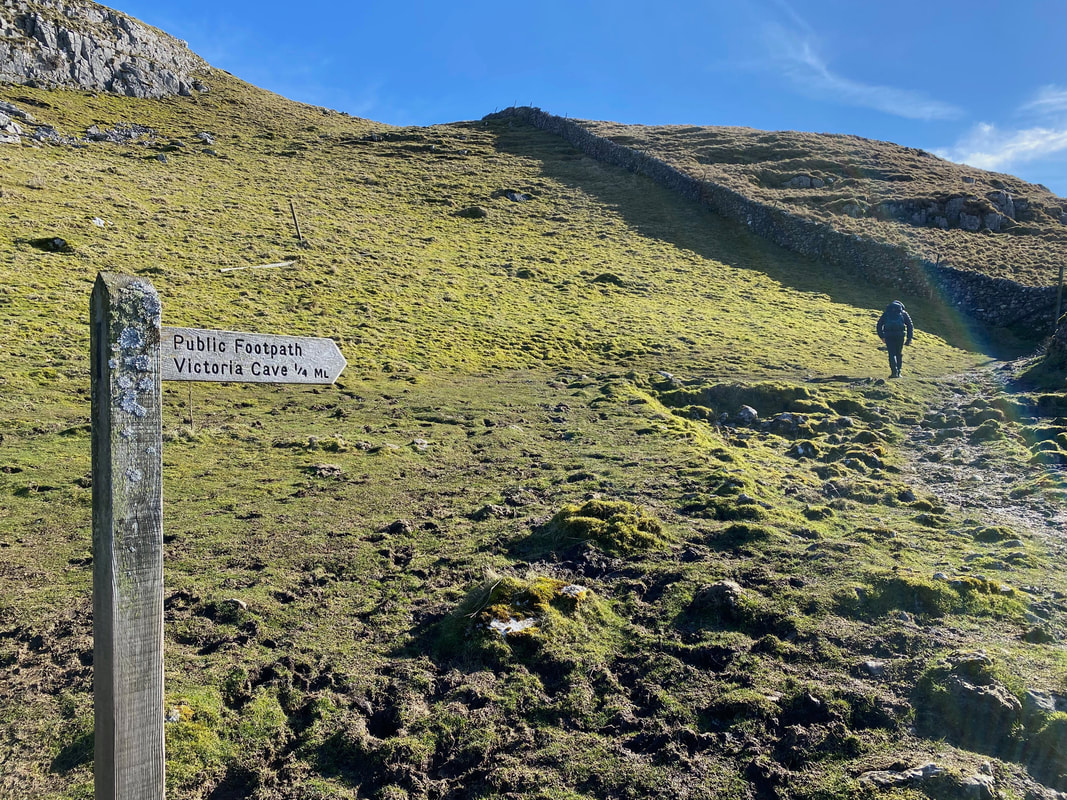
Not far now to Victoria Cave as we continue over a rough section of path
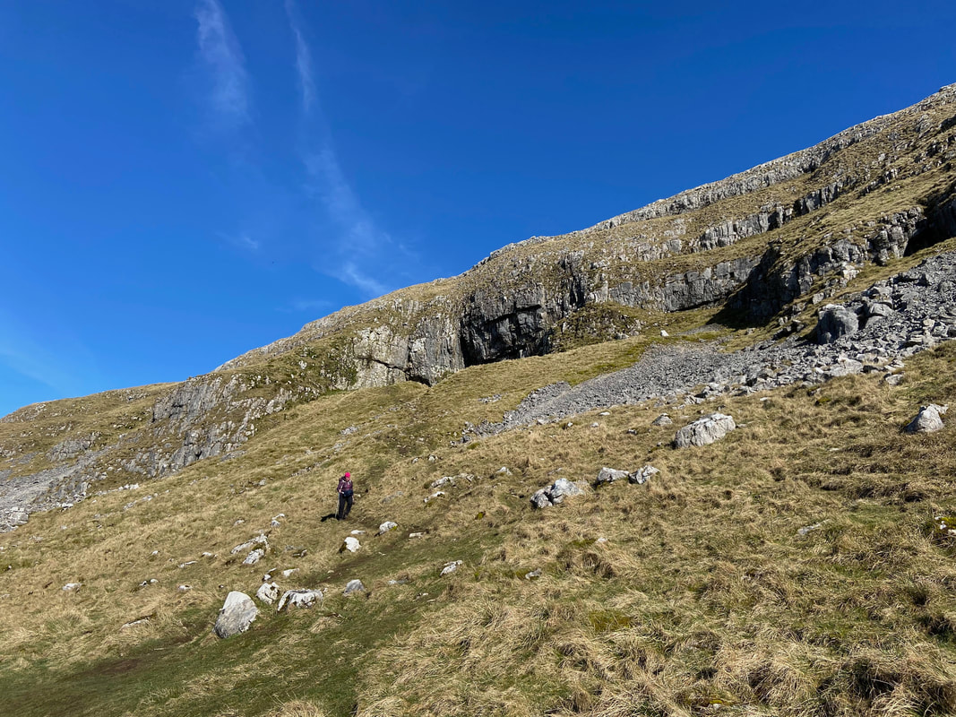
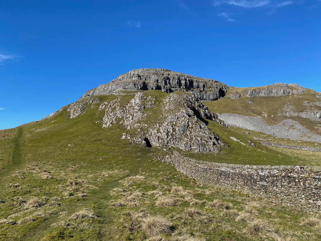
Approaching Victoria Cave, by chance we looked up to the left and saw another cave entrance
Looking into the entrance to the smaller cave
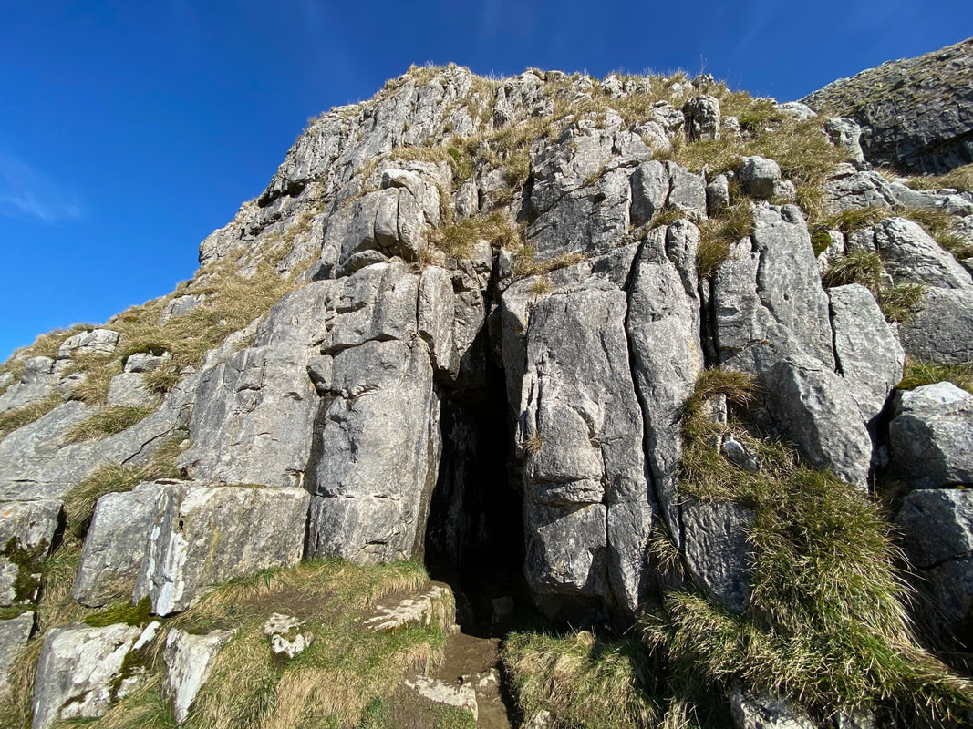
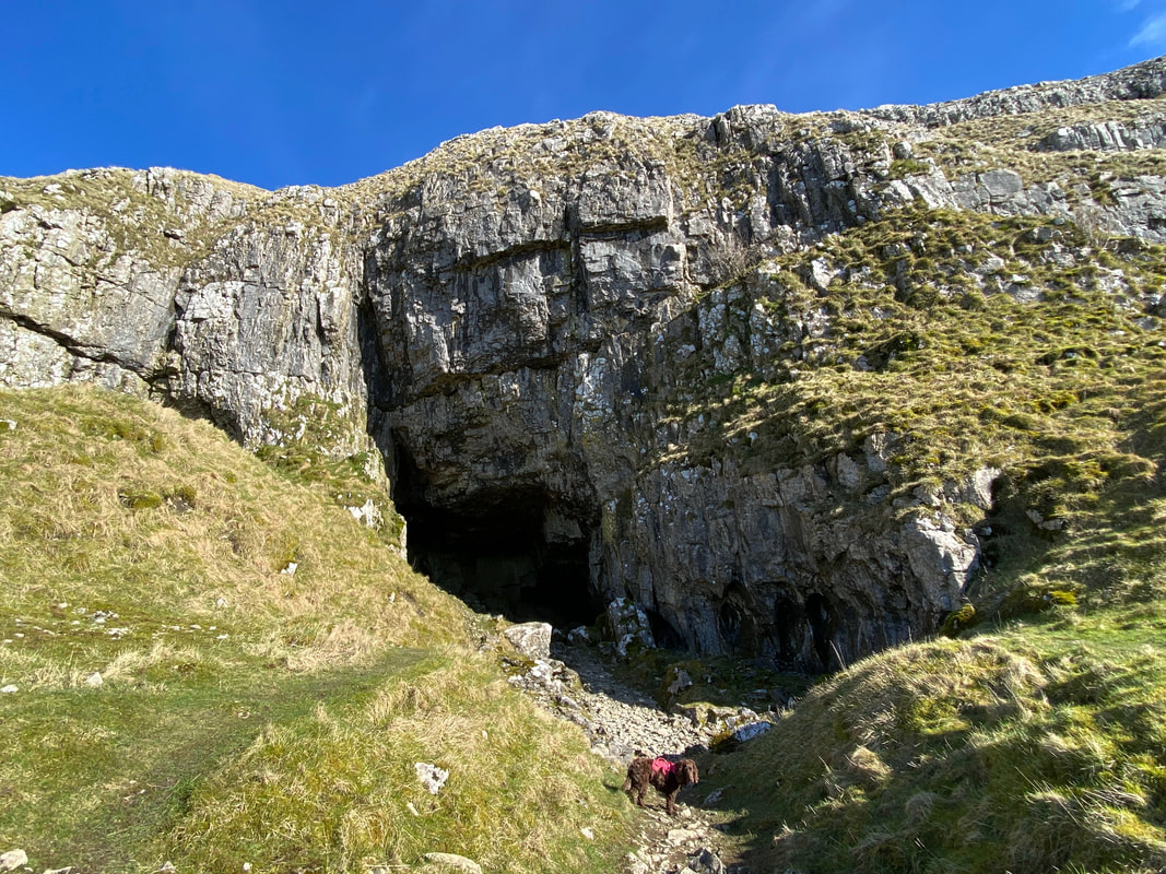
A path leads up to the entrance to Victoria Cave
Victoria Cave was discovered by chance in 1837 and since then has been completely excavated. Within the cave’s thick clay deposits, scientists found an amazing record of climate change in the Dales over thousands of years. Victorian excavators were particularly fascinated by ‘bone caves’ where there might be a possibility of finding evidence for the earliest humans along with long extinct animals. Victoria Cave certainly had plenty of animal bones. The earliest, at 130,000 years old, included those of hippos, narrow-nosed rhino, elephants and spotted hyenas. They date to an Upper Pleistocene interglacial when the climate was much warmer than today. It seems as if at that time, the hyenas were using the cave as a den and dragging scavenged bones back to it. No evidence was found for human activity during this period. For archaeologists, the Roman layers were even more interesting. Here a collection of unusual bronze and bone artefacts were found, including brooches and coins. The unusual nature of some of the finds has led archaeologists to believe that the cave was being used as more than just a storage place or shelter for craft workers. It may even have been some sort of shrine.
Victoria Cave was discovered by chance in 1837 and since then has been completely excavated. Within the cave’s thick clay deposits, scientists found an amazing record of climate change in the Dales over thousands of years. Victorian excavators were particularly fascinated by ‘bone caves’ where there might be a possibility of finding evidence for the earliest humans along with long extinct animals. Victoria Cave certainly had plenty of animal bones. The earliest, at 130,000 years old, included those of hippos, narrow-nosed rhino, elephants and spotted hyenas. They date to an Upper Pleistocene interglacial when the climate was much warmer than today. It seems as if at that time, the hyenas were using the cave as a den and dragging scavenged bones back to it. No evidence was found for human activity during this period. For archaeologists, the Roman layers were even more interesting. Here a collection of unusual bronze and bone artefacts were found, including brooches and coins. The unusual nature of some of the finds has led archaeologists to believe that the cave was being used as more than just a storage place or shelter for craft workers. It may even have been some sort of shrine.
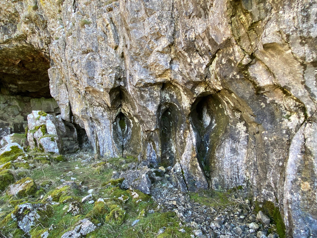
Rock patterns to the right of the cave entrance
Victoria Cave entrance (click Play to view)
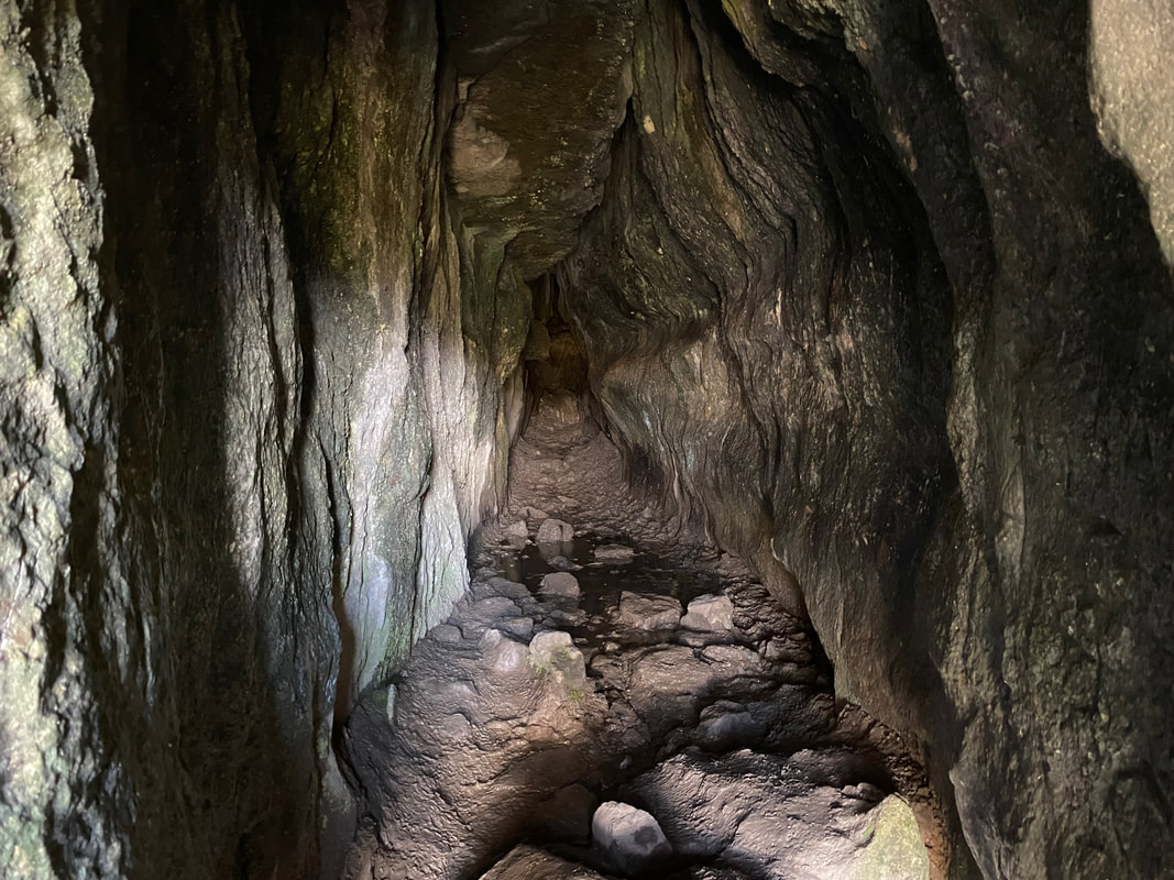
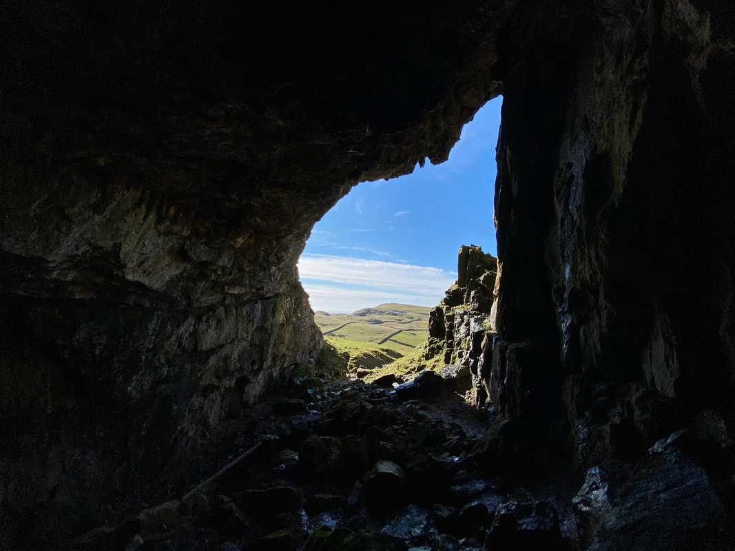
Looking out from the inside of Victoria Cave
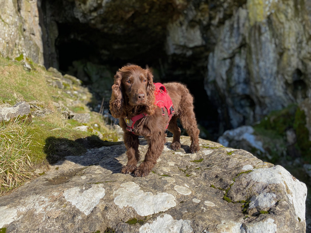
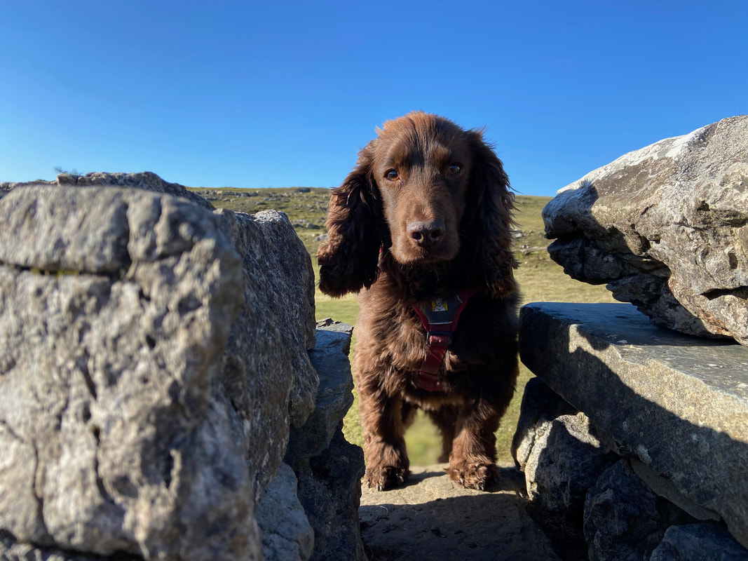
Fudge outside the entrance to Victoria Cave
Angie descends the path from Victoria Cave in order to regain the main route
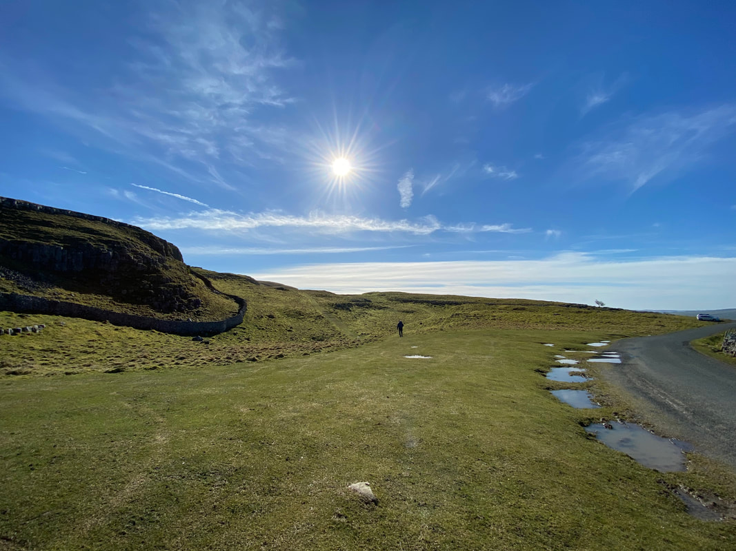
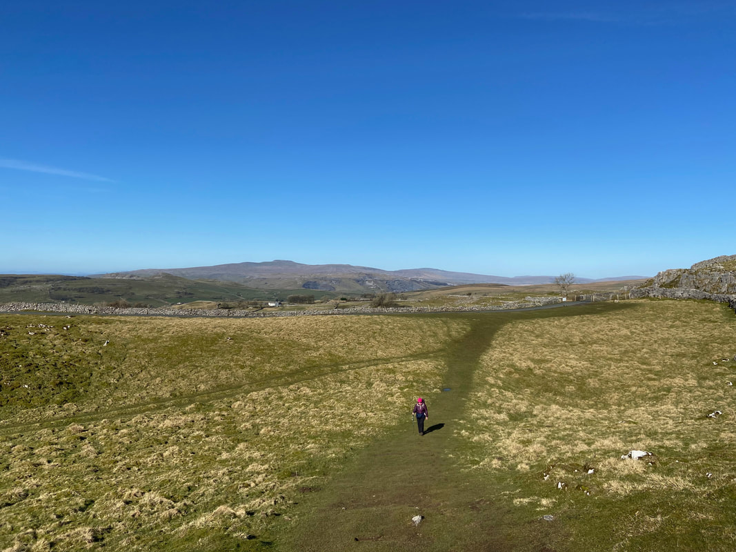
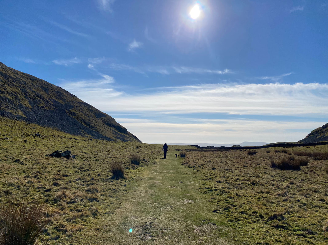
Walking below Brent Scar on our way to Attermire Scar. The fell in the far distance is Pendle Hill.
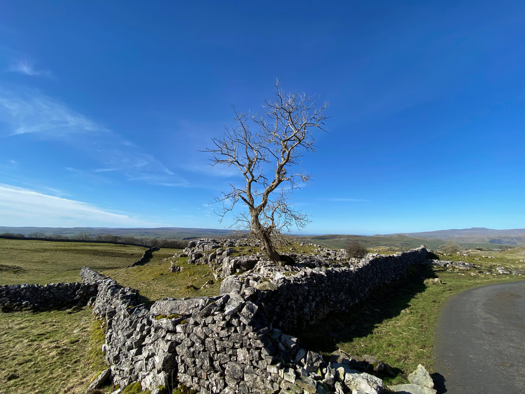
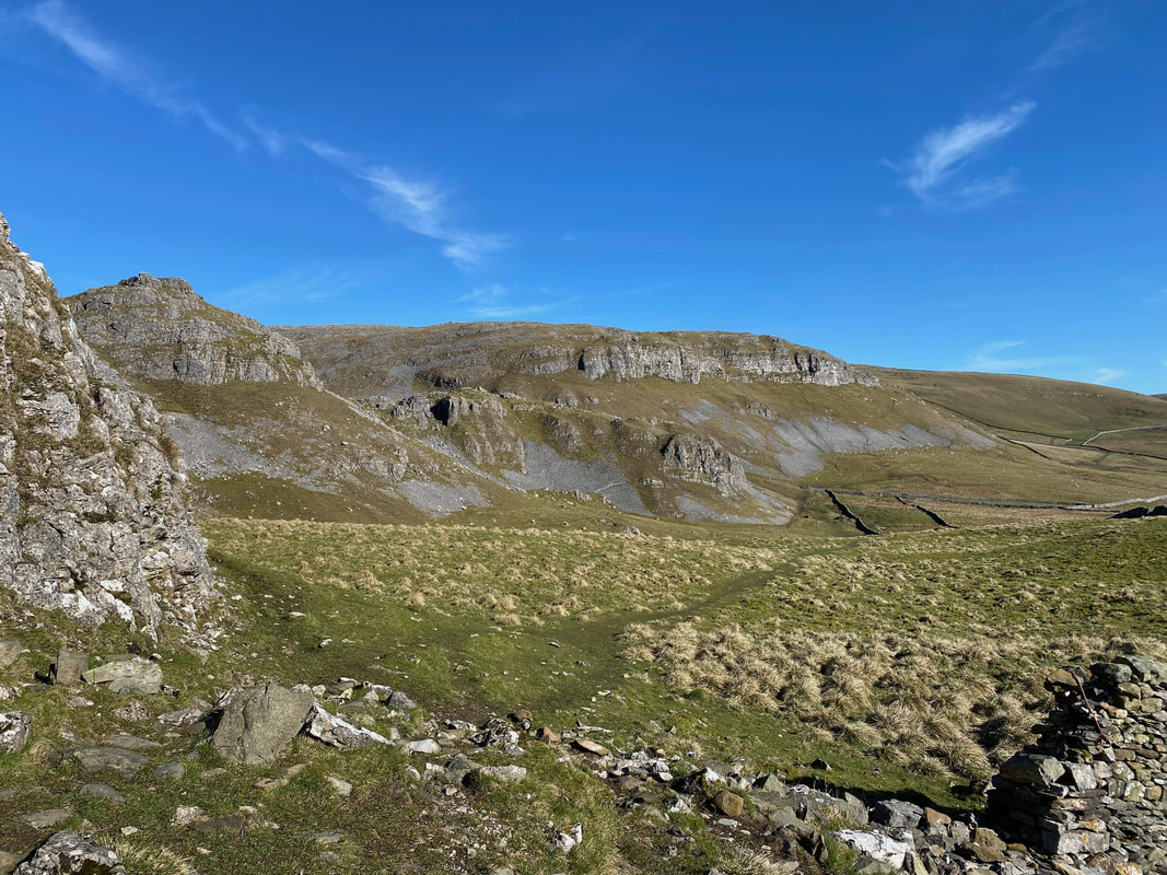
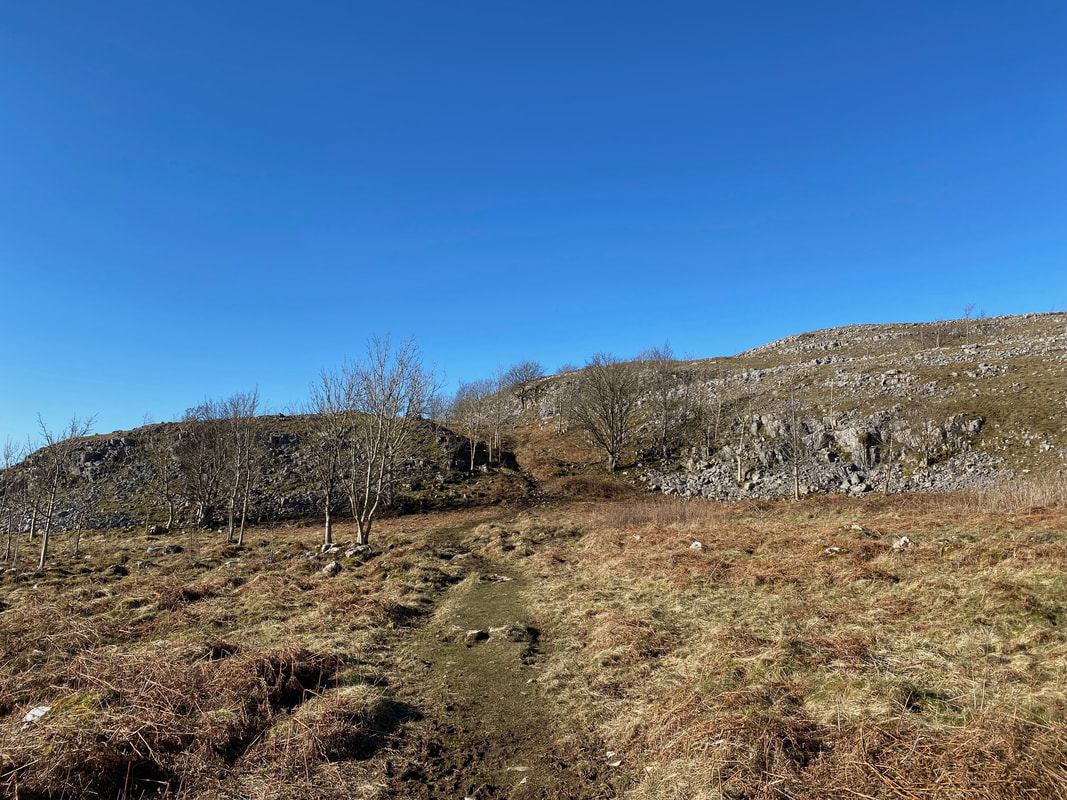
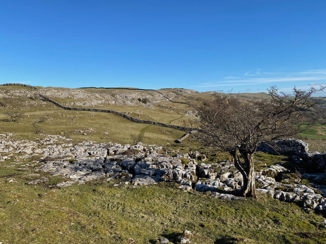
The terrain to the left and right becomes more bouldery with limestone everywhere
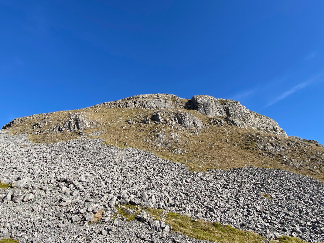
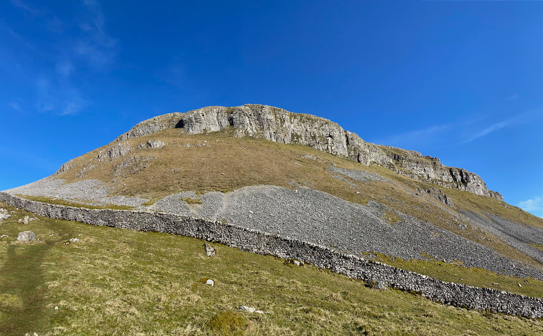
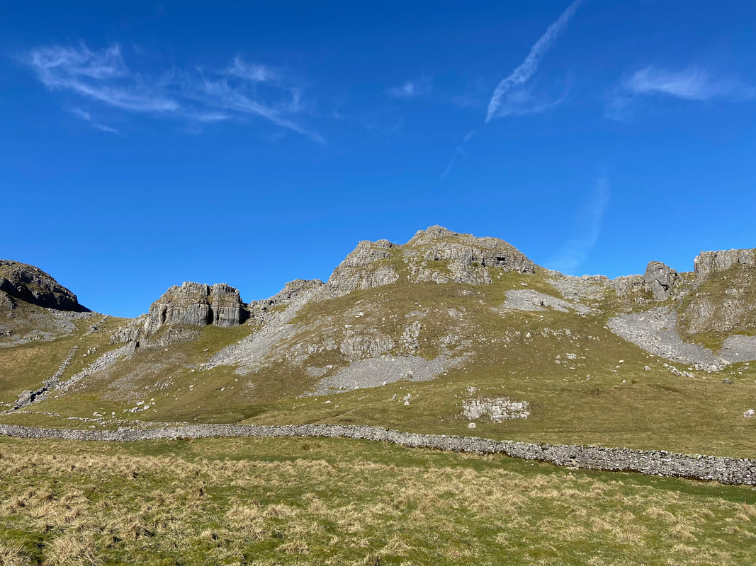
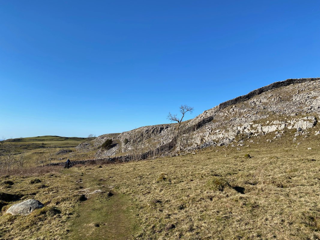
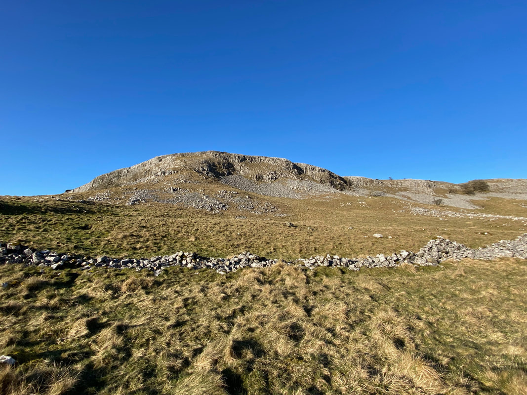
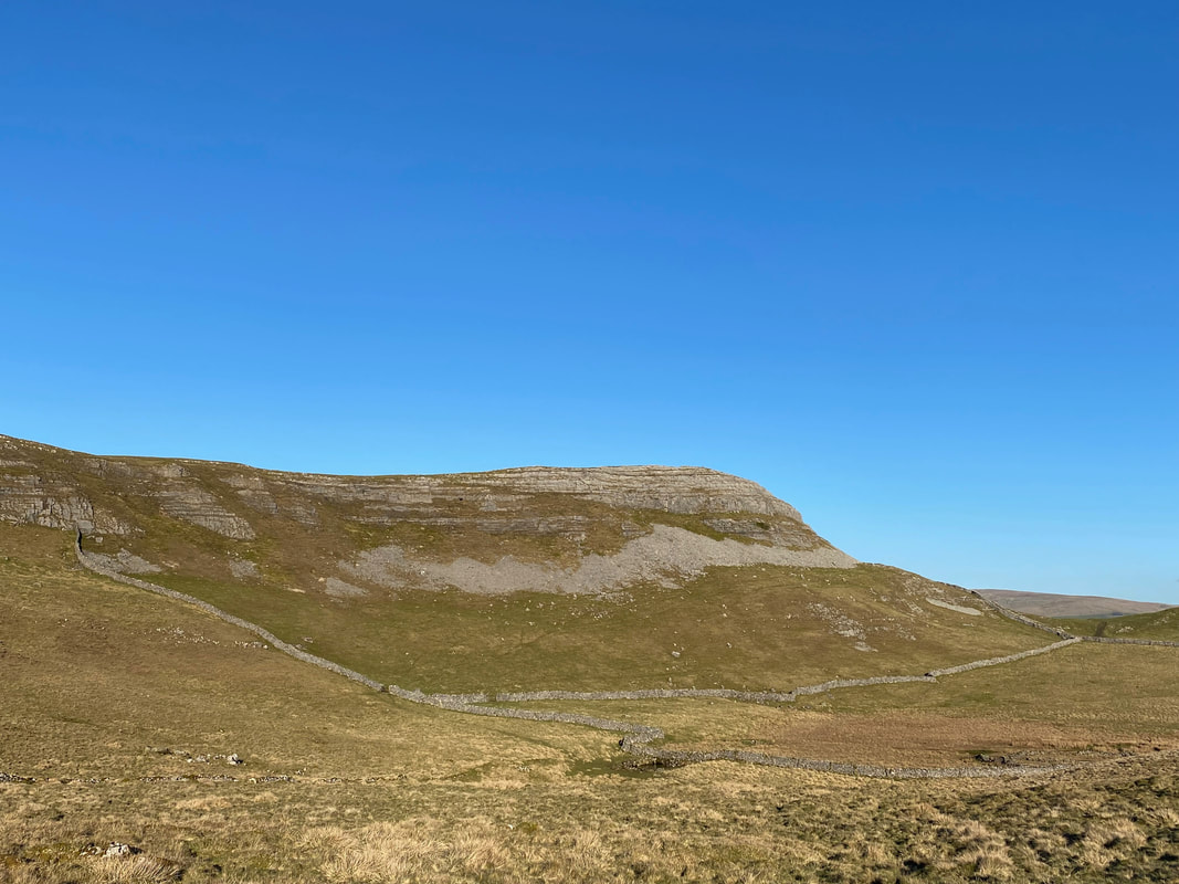
One of the many outcrops of Attermire Scar. The scar lies high above the market town of Settle and is a breathtaking series of limestone scars, scree slopes and caves. The limestone was formed in shallow tropical seas approximately 330 million years ago.
Another limestone outcrop on Attermire Scar................
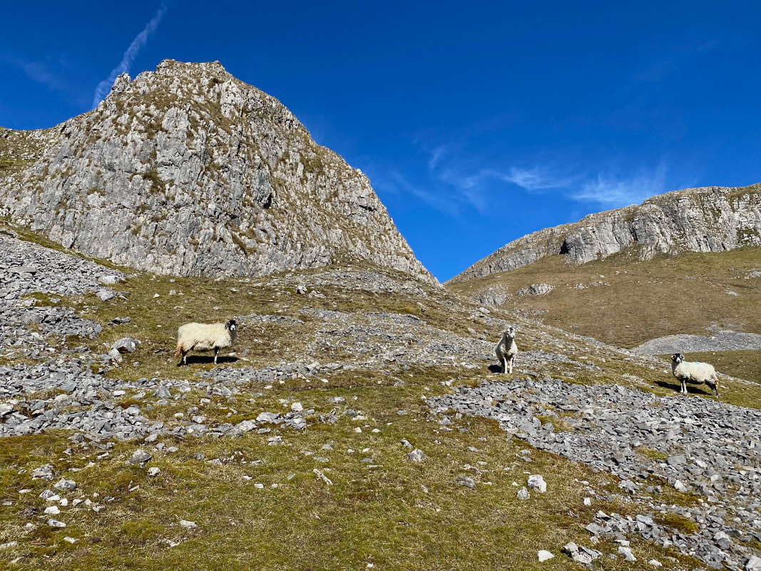
...... and another one, this time with some locals below it.
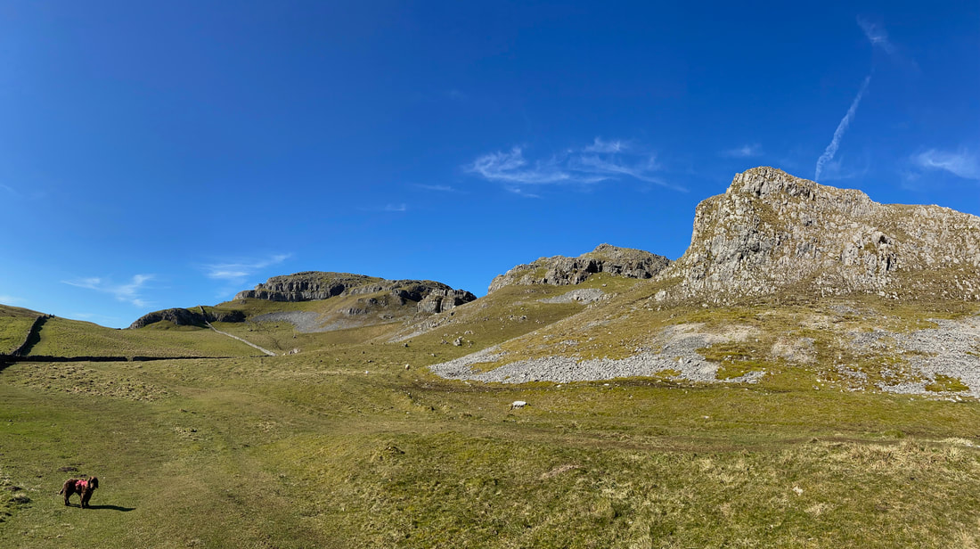
Warrendale Knotts (and an impatient pooch). We were now on The Dales High Way which would take us into Settle. The Dales High Way is a long distance walk of 90 miles between Saltaire in West Yorkshire to Appleby in Cumbria.
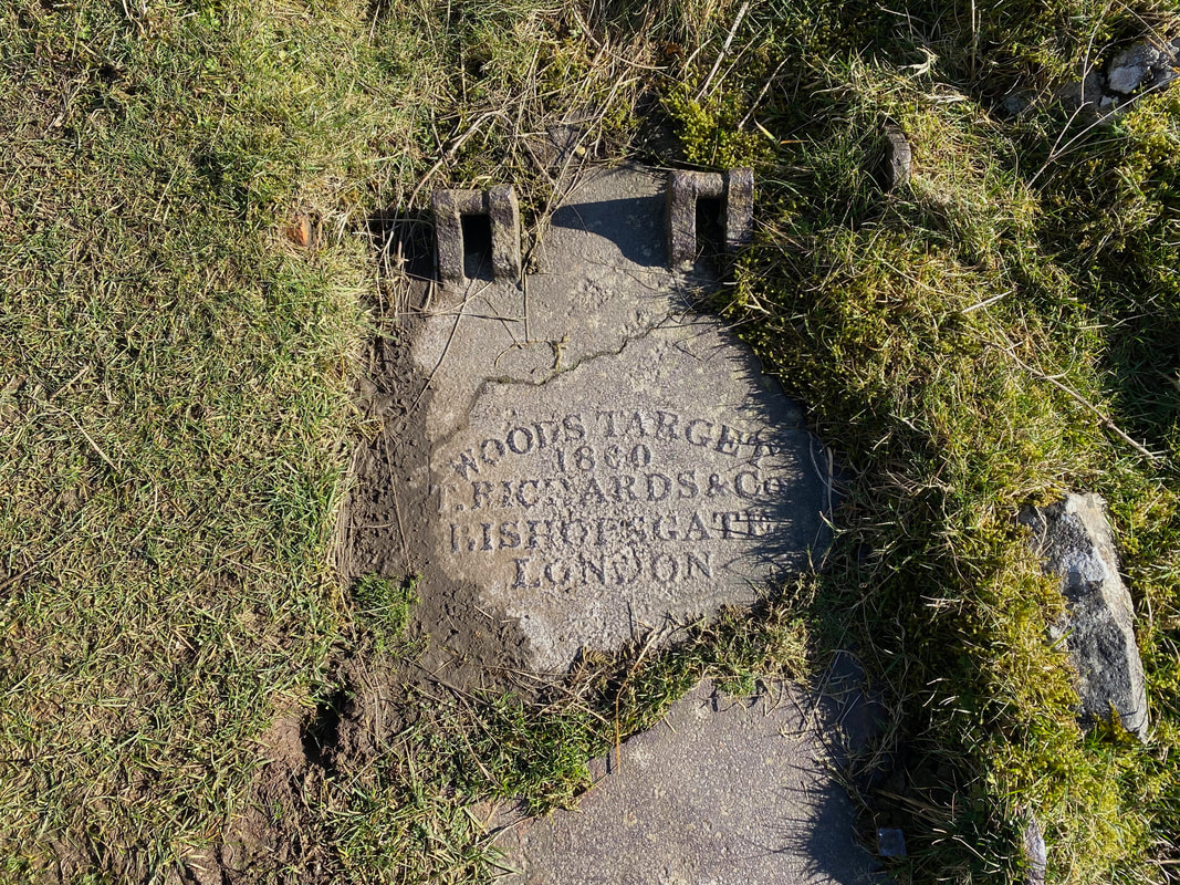
A 19th Century cast iron target panel embedded into the ground at Attermire Scar
Attermire Scar was once the home of a rifle range. With a perceived war with France on the horizon, the range was set up for the Settle Volunteers in 1860 and continued to be used by them and their successors, the Territorial Army until the First World War. It was once again utilised by the Home Guard during the Second World War.
Attermire Scar was once the home of a rifle range. With a perceived war with France on the horizon, the range was set up for the Settle Volunteers in 1860 and continued to be used by them and their successors, the Territorial Army until the First World War. It was once again utilised by the Home Guard during the Second World War.
The path to Settle continues along the southern edge of Warrendale Knotts
Warrendale Knotts (click Play to view)
The scenery and close proximity to these limestone outcrops made this section a joy to walk
Looking back to Attermire Scar from Warrendale Knotts
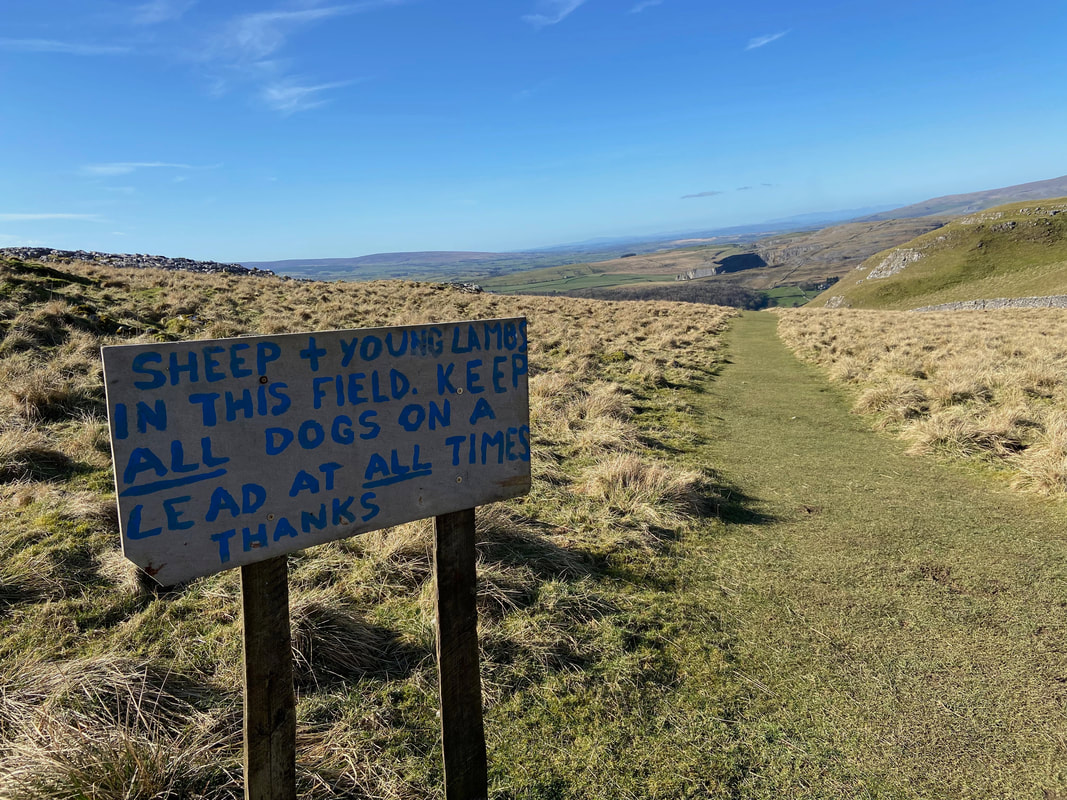
None sighted today however at least the request was polite
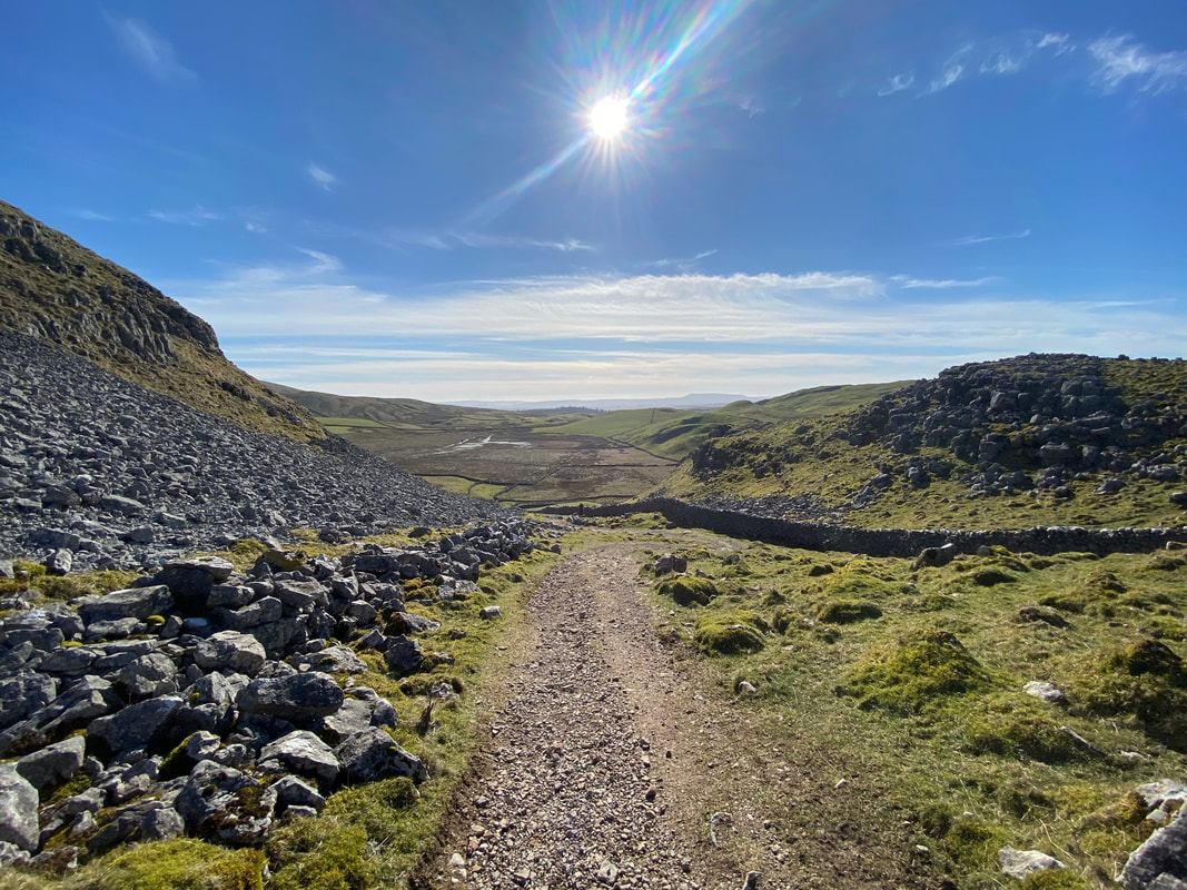
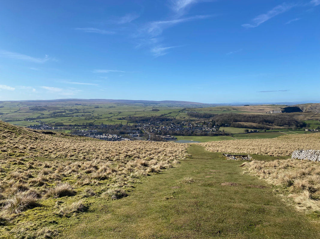
Settle now in view as we start our descent into the town - there must be a cafe open surely??
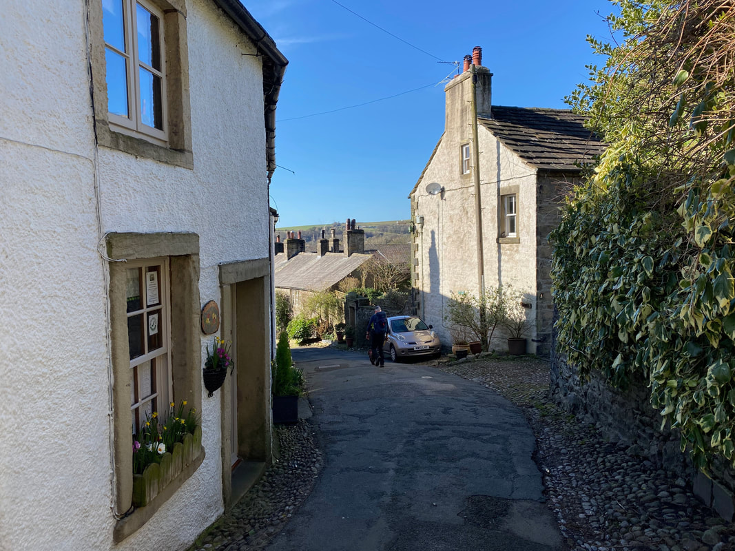
The route enters Settle via a myriad of back streets
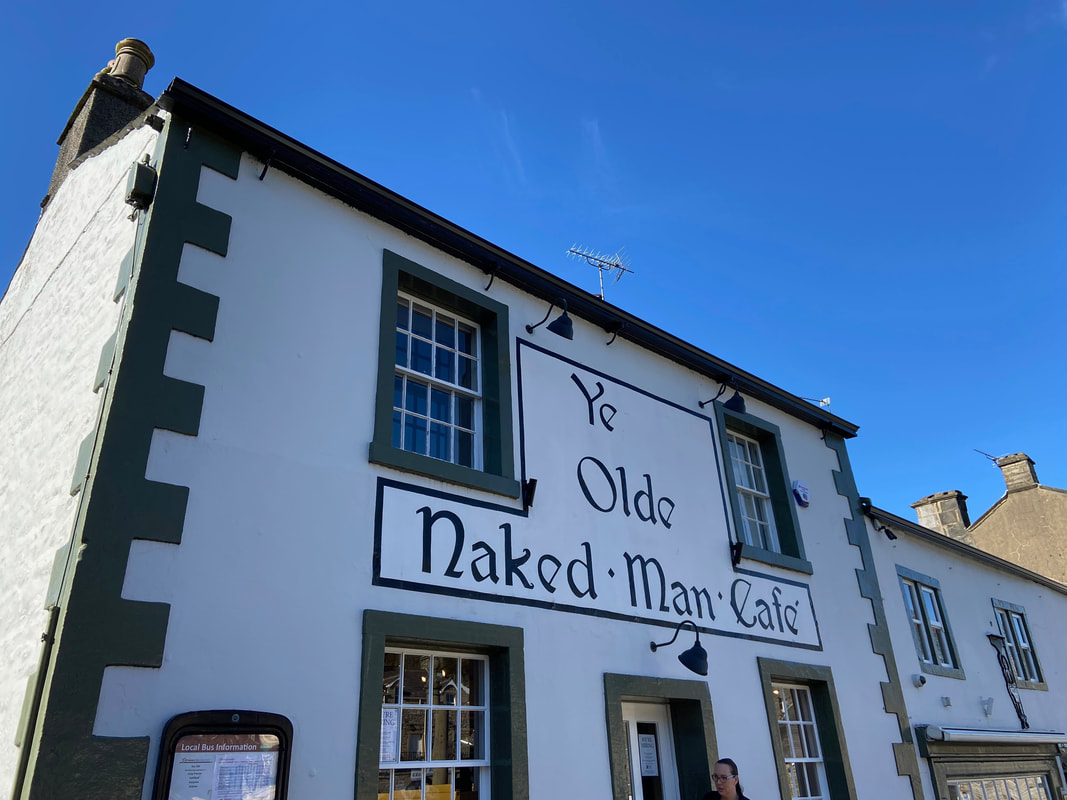
Been here many times - despite it's name there are no old men serving you tea & cake in the bollocky buff
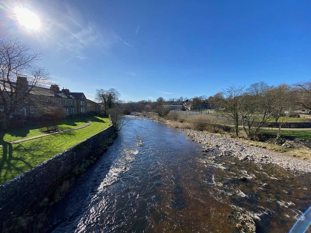
Heading out of Settle we crossed the River Ribble
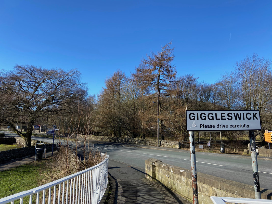
A short amount of road walking through Giggleswick
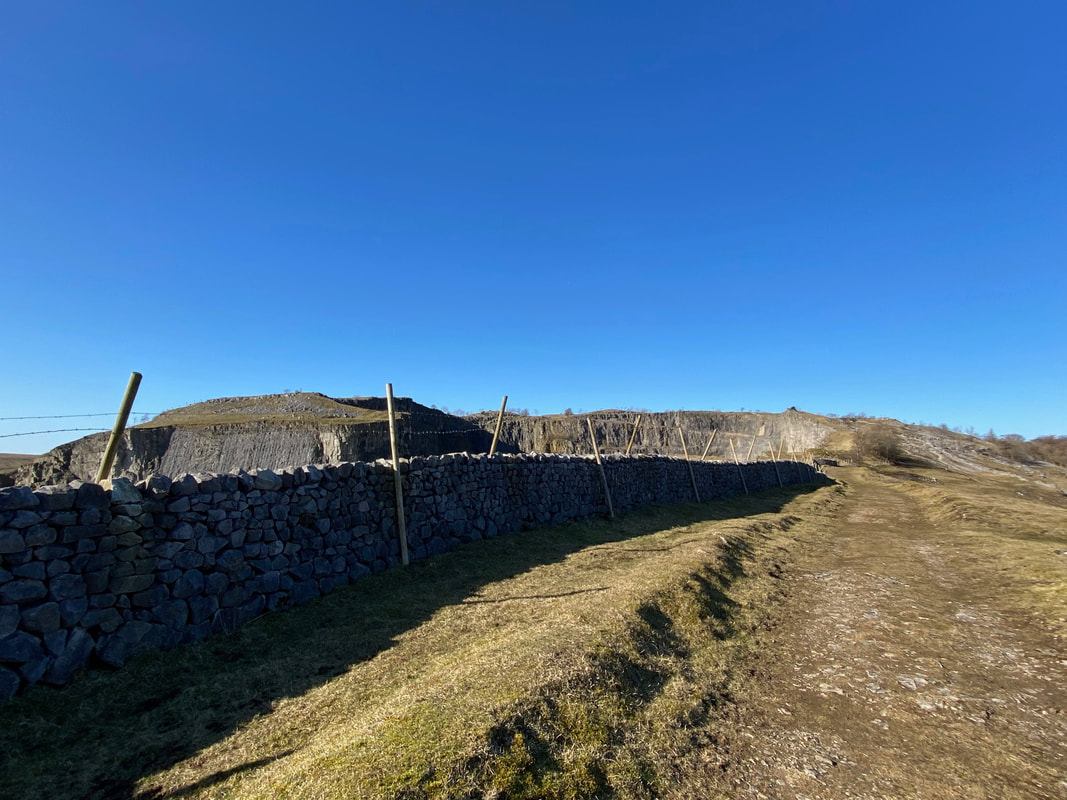
Back out in the open countryside now as we head to the right of the former limestone quarry above Giggleswick
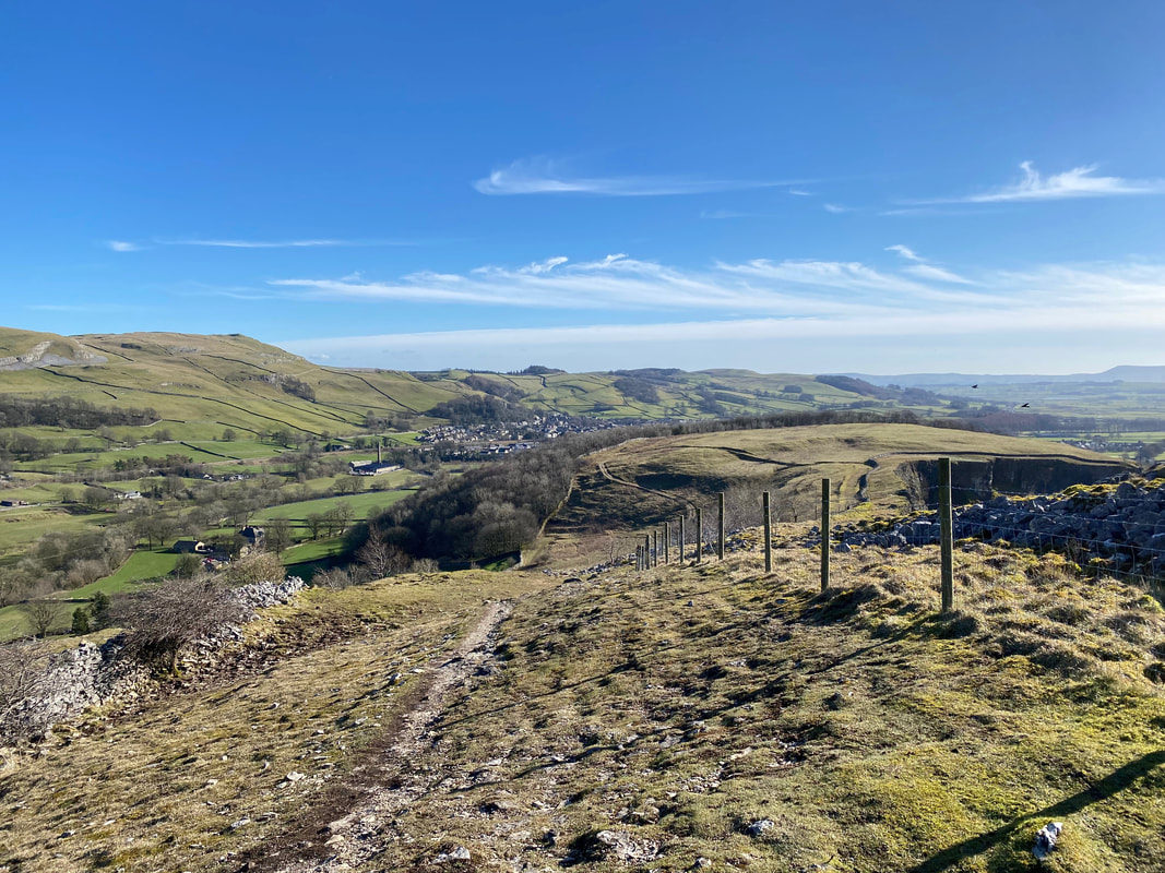
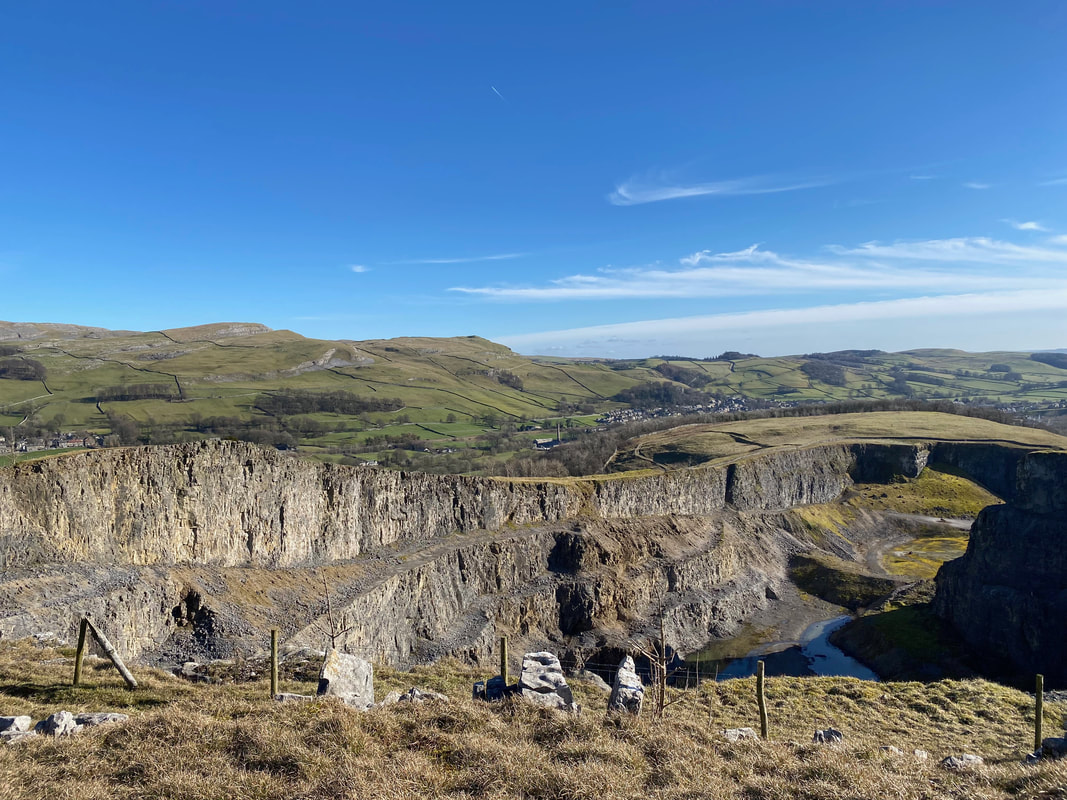
Looking back to Settle from Giggleswick Quarry
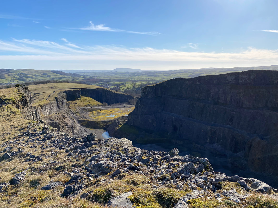
Giggleswick Quarry - work ceased here in 2009 and in 2019 it was reportedly going to be turned into an industrial facility. Looking down at it on this day, it doesn't look as though much has happened since the quarry workers left the site.
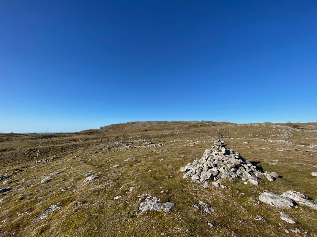
Near the edge of the quarry is a cairn - one of many that adorn Giggleswick Scar
Another view into the quarry, this time from the northern end
From the quarry there now begins a lovely walk along Giggleswick Scar
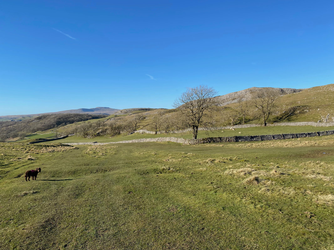
Despite its close proximity to Settle, we saw nobody as we headed along the good path below the scar
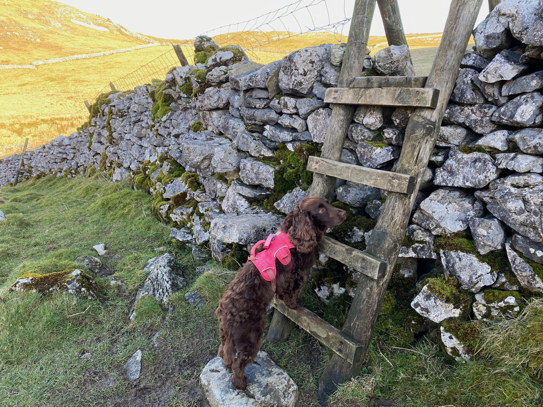
Fudge once again mocks the fact that the gaps in the wall stiles are not wide enough for humans but are easy for dogs.
Looking back at our route along the scar
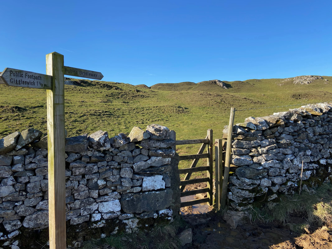
Near Buck Haw Brow a hand gate is reached - once through the gate we headed to the right along the Bridleway
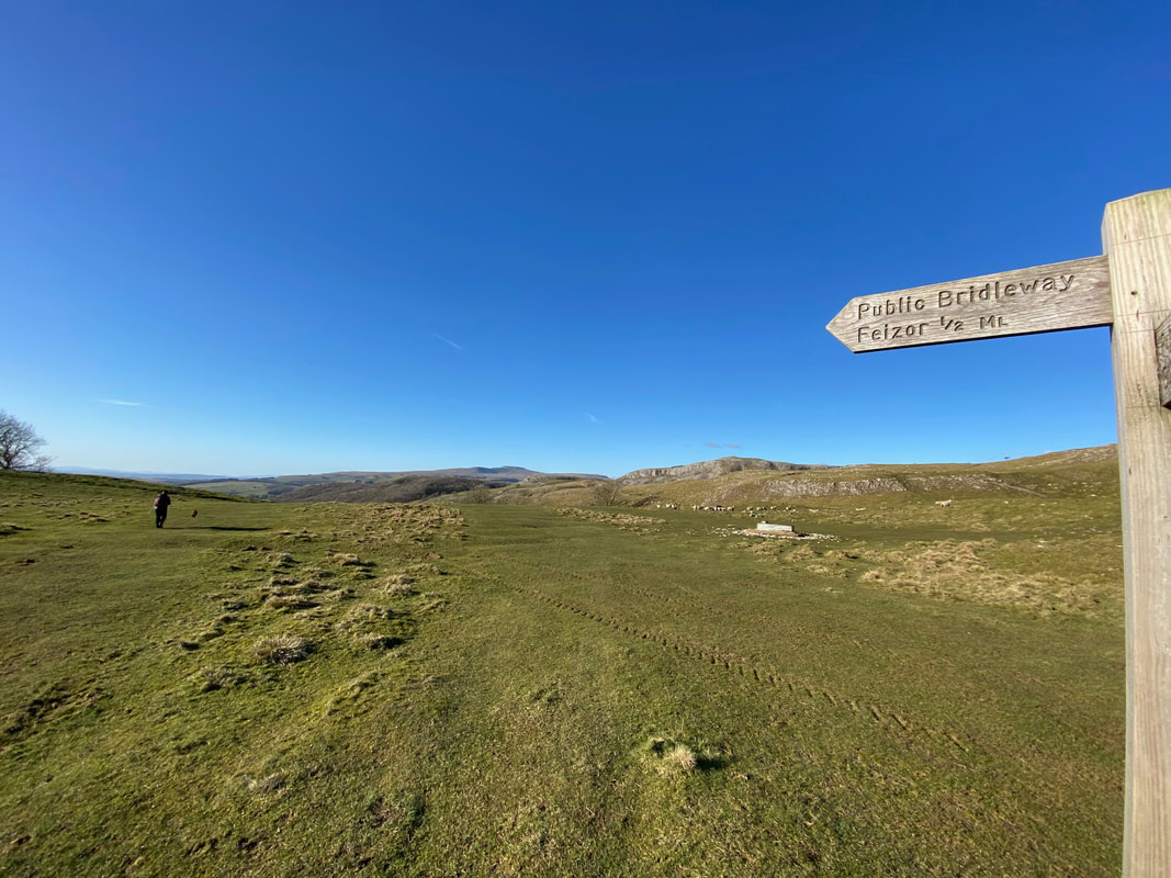
The Bridleway headed for the small village of Feizor - we knew they had a cafe but would it be open????
"Haven't we been here before? This looks familiar!!" thinks Fudge. He is right as we were now on Wainwright's Pennine Journey which we walked in 2019. A link to the walk report is here
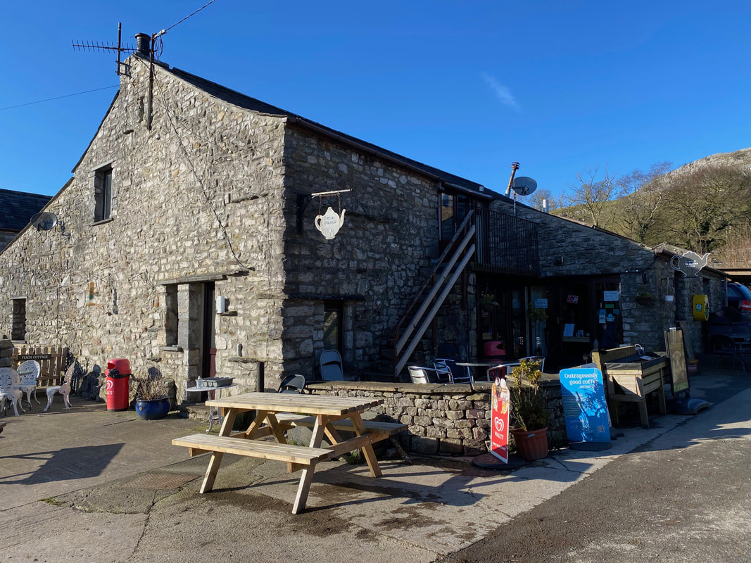
Elaine's Tea Room in Feizor - but is Elaine in residence??
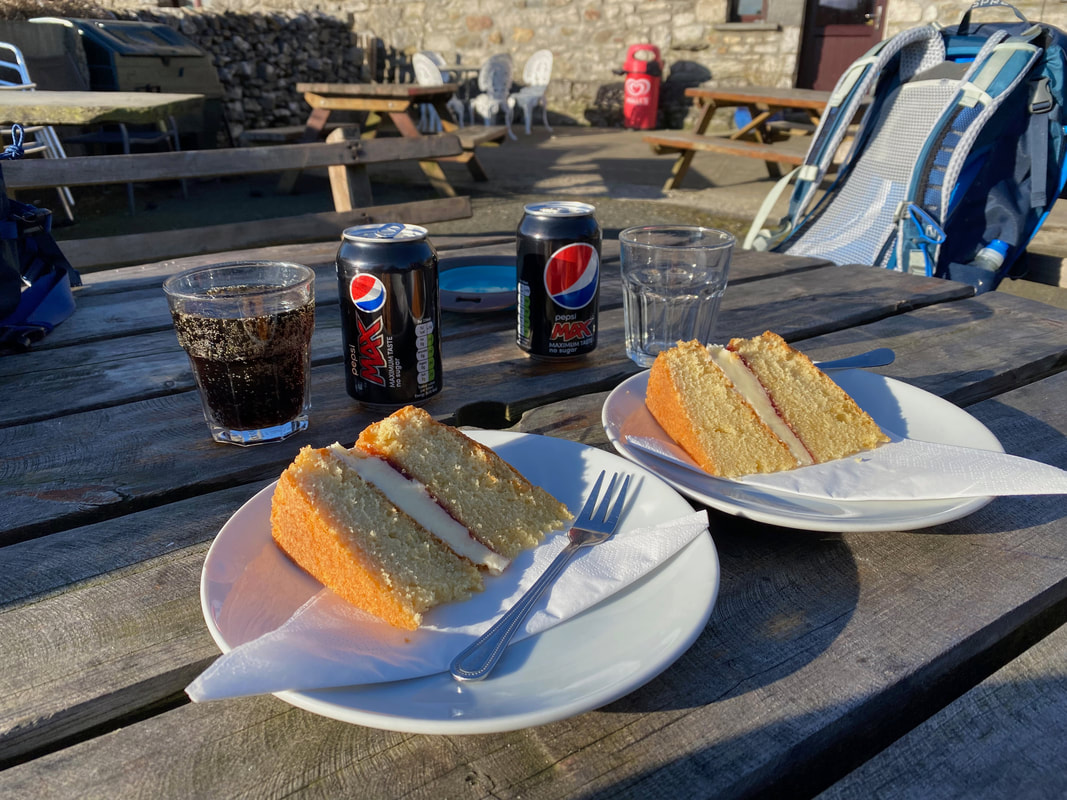
Of course she was - therefore we availed ourselves of two slices of her excellent Victoria Sponge. As can be seen to the right, I was wasting away.
From Feizor we would now follow the route of The Dales High Way back to the start at Stainforth
Pot Scar
Smearsett Scar
Fudge waiting for his "Hooman" to facilitate his crossing of the stile
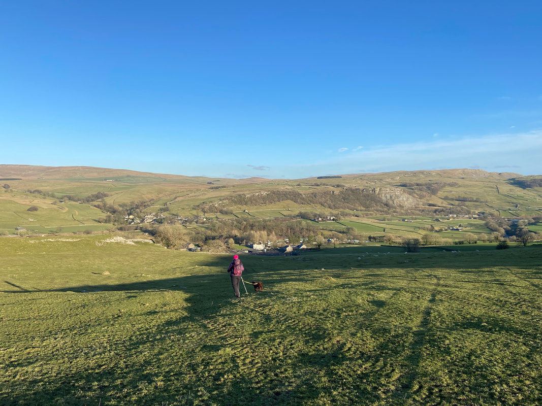
The descent into Little Stainforth
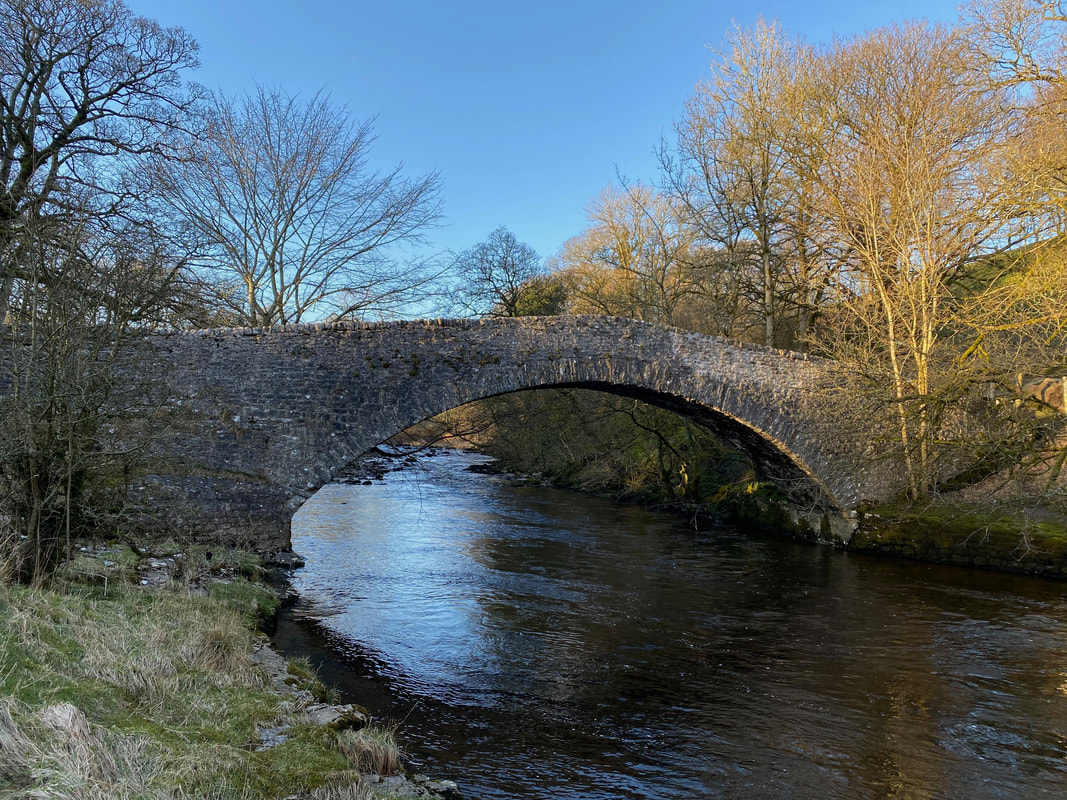
The 17th Century Stainforth Packhorse Bridge over the River Ribble
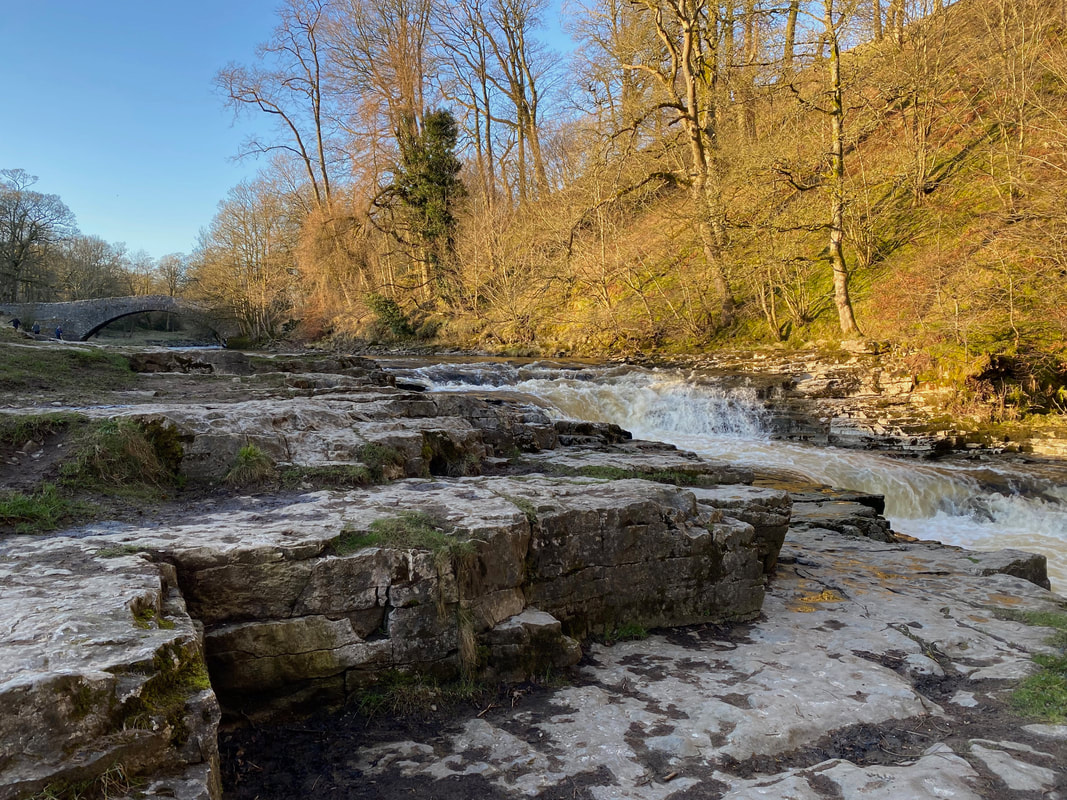
Stainforth Force - a favourite spot of the composer Edward Elgar
Stainforth Force in full flow (click Play to view)
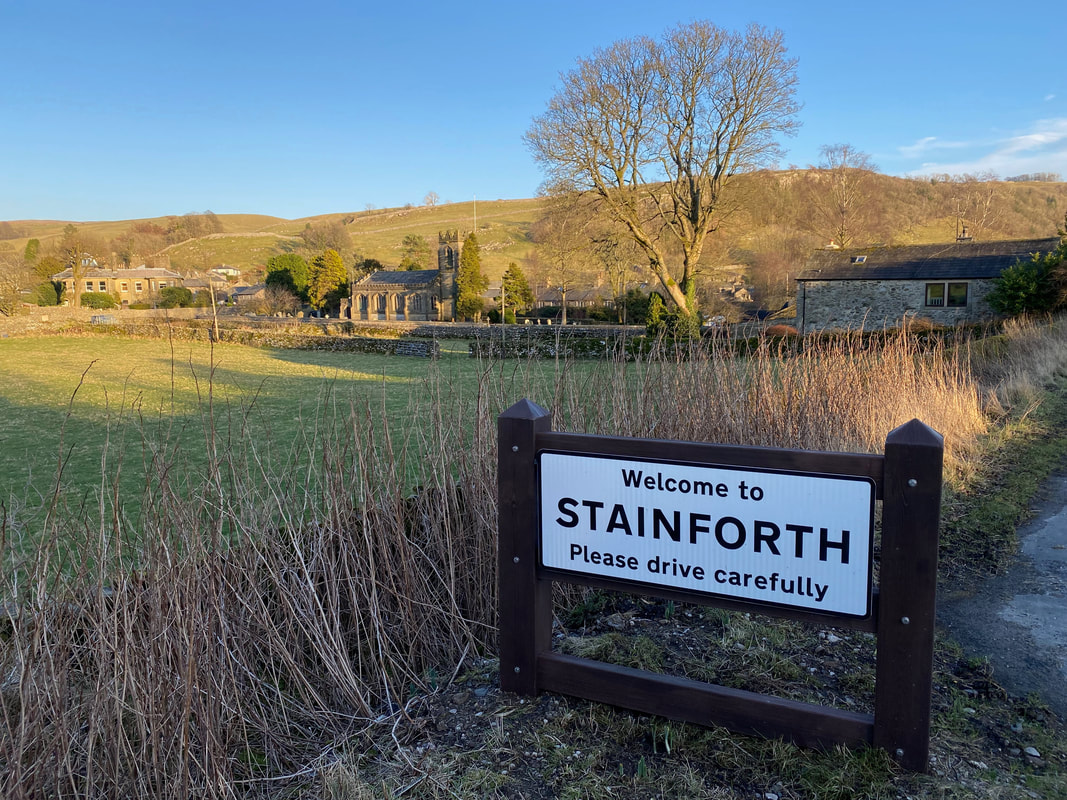
Safely back in Stainforth after an excellent day out in the Yorkshire Dales
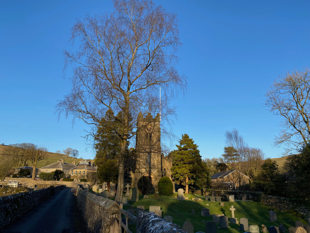
St Peter's Church, Stainforth
