Faulds Brow & Clints Crags - Friday 9 April 2021
We did a couple of walks on this day - both summits were Wainwright Outlying Fells and quite close to home. Both outings are listed separately below.
Faulds Brow
Route
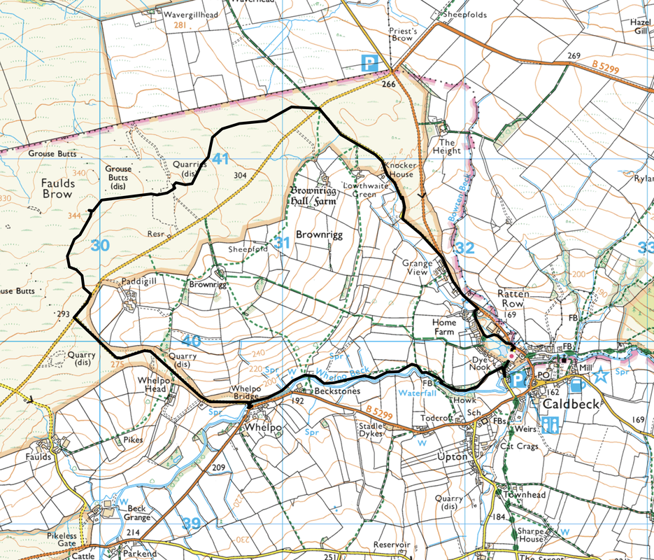
Caldbeck - Knocker House - Faulds Brow - Whelpo - The Howk - Caldbeck
Parking
Plenty of parking in Caldbeck. We parked near the Village Green (Free) at Grid Reference NY 32258 39922. Nearest postcode is CA7 8EW.
Mileage
4.7 miles
Terrain
Grassy paths with some road walking on quiet lanes however care needs to be taken descending into The Howk.
Weather
Sunshine with very good visibility.
Time Taken
2hrs 35mins
Total Ascent
672ft (205m)
Wainwrights
1 Outlying Fell
Maps
OL5 The English Lakes (North Eastern Area)
OL4 The English Lakes (North Western Area)
Walkers
Dave, Angie & Fudge
|
GPX File
|
| ||
If the above GPX file fails to download or presents itself as an XML file once downloaded then please feel free to contact me and I will send you the GPX file via e-mail.
Route Map - Faulds Brow

There is plenty of parking in the village of Caldbeck - we parked next to the village green
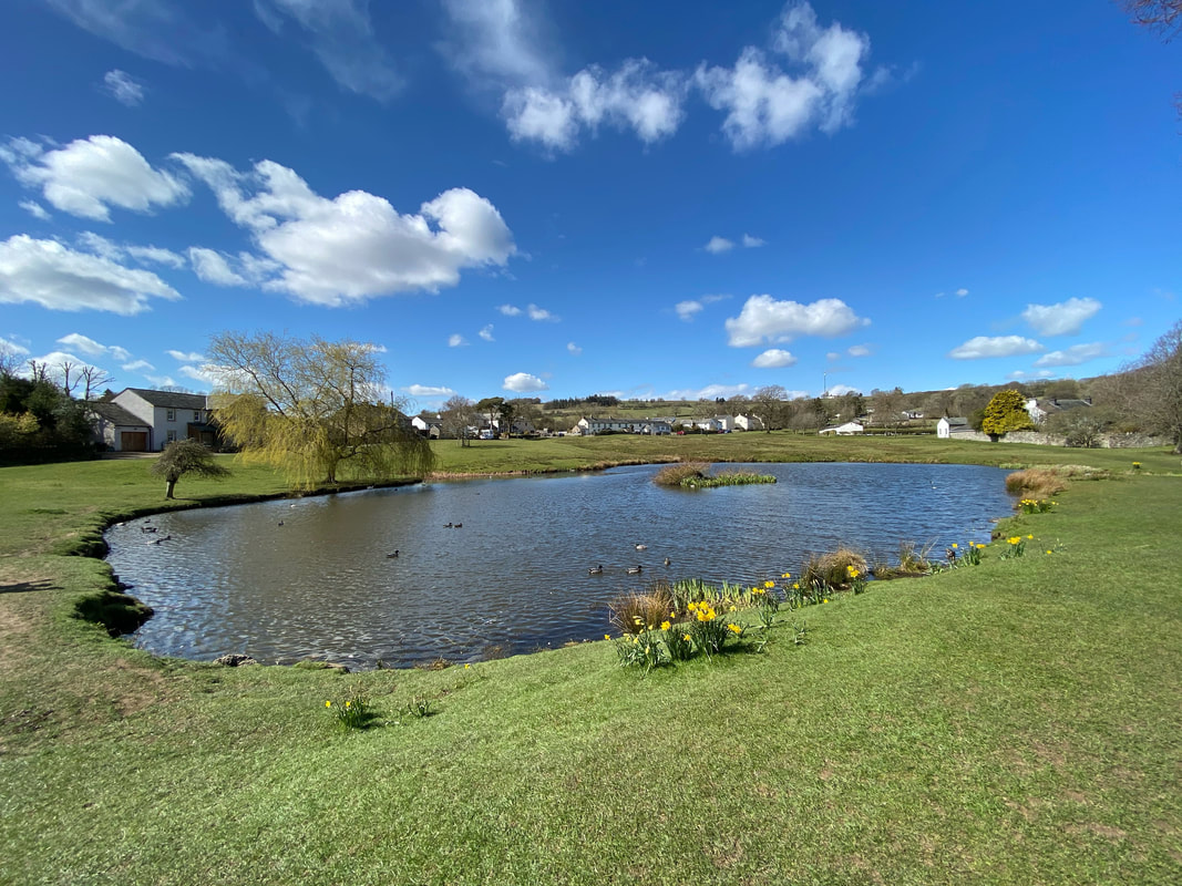
Caldbeck's pretty village green complete with large duck pond
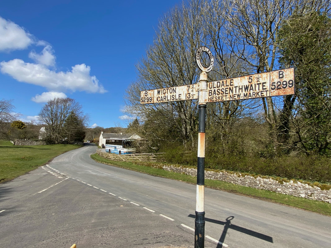
Today's route headed up the B5299 in the direction of Wigton & Carlisle. The road is not that busy however there is a route that passes through the village green to join the road a few hundred yards further on thus reducing the road walking.
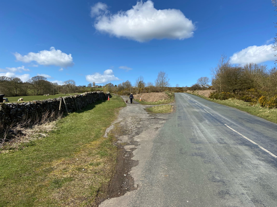
Leaving the B5299 on to this quiet lane that heads in the direction of Waverhead Farm
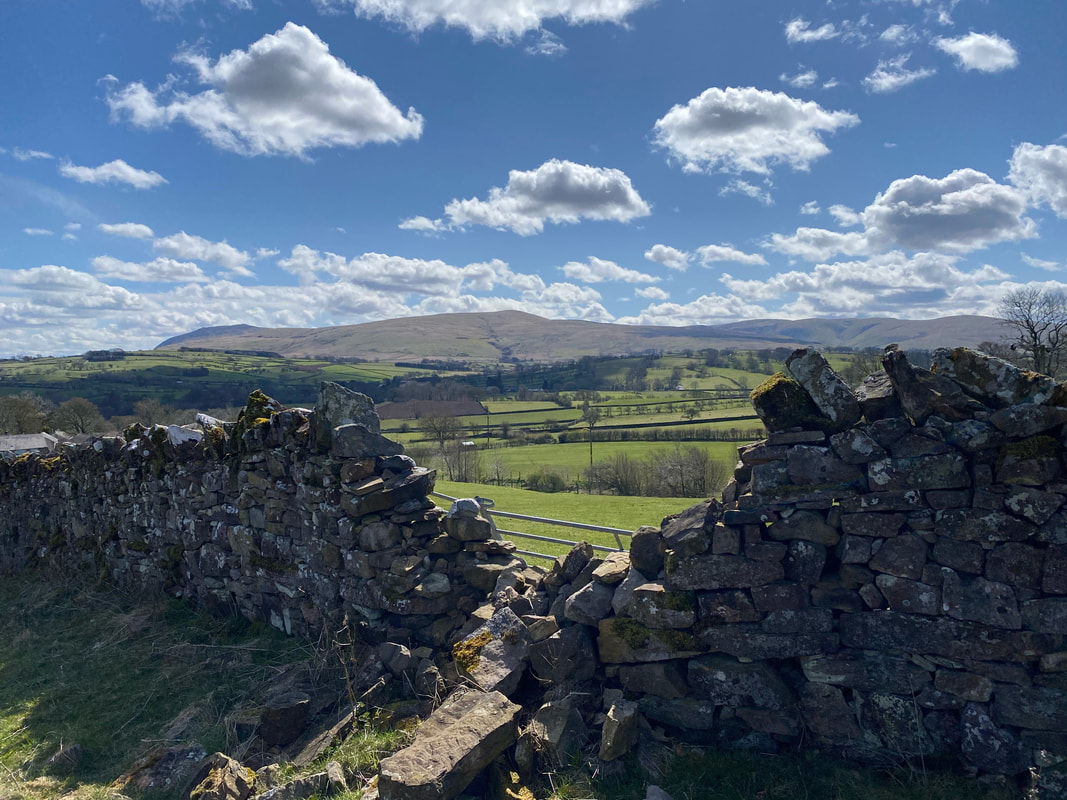
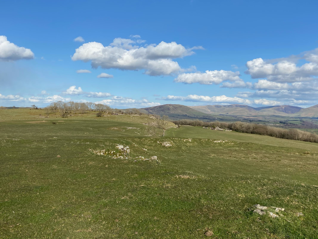
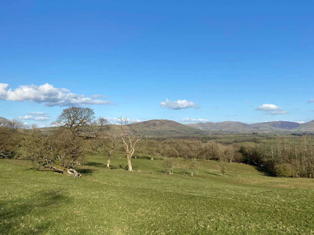
As height is gained the views open out to Carrock Fell & High Pike
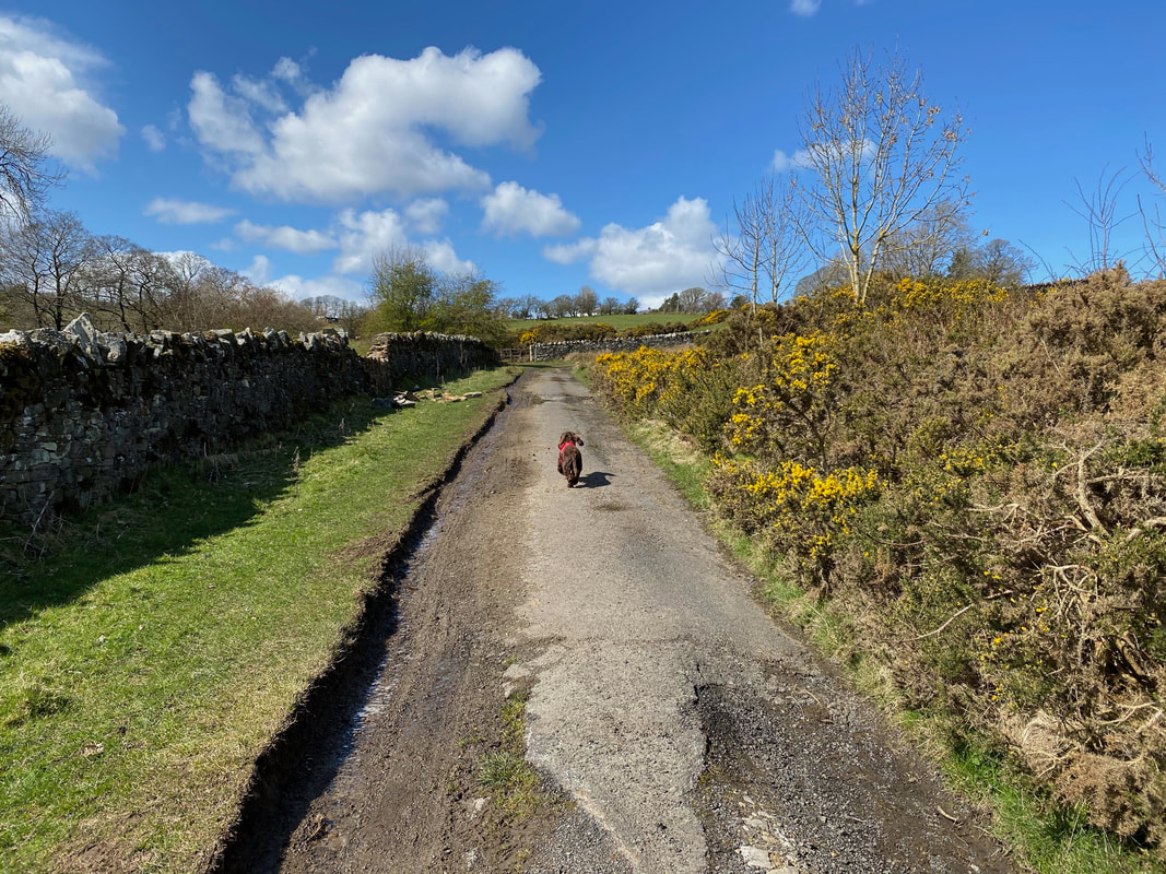
As happy as Larry (whoever he is), Fudge puts in his doggy clutch and engages "joyful trot" gear
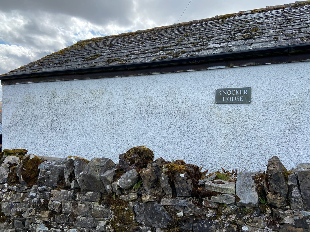
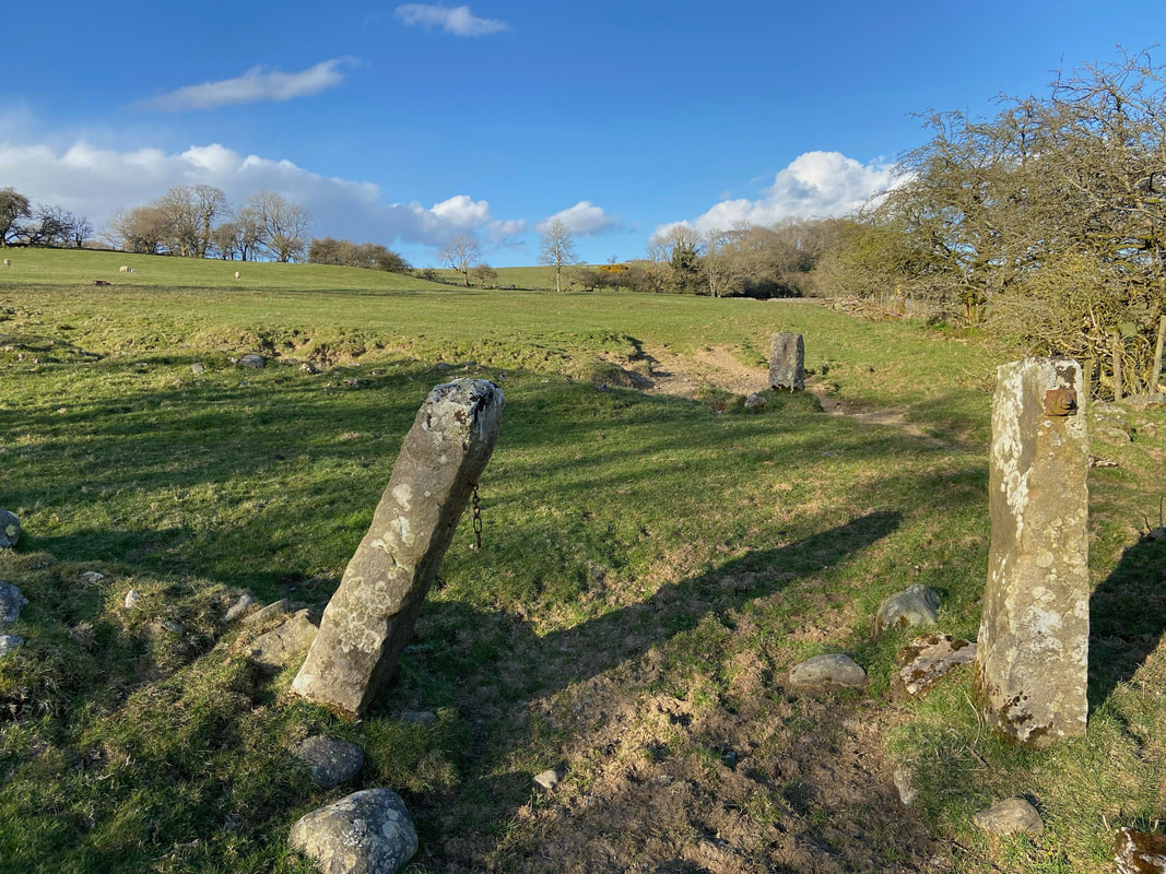
The route passes Knocker House (no tittering at the back now!)
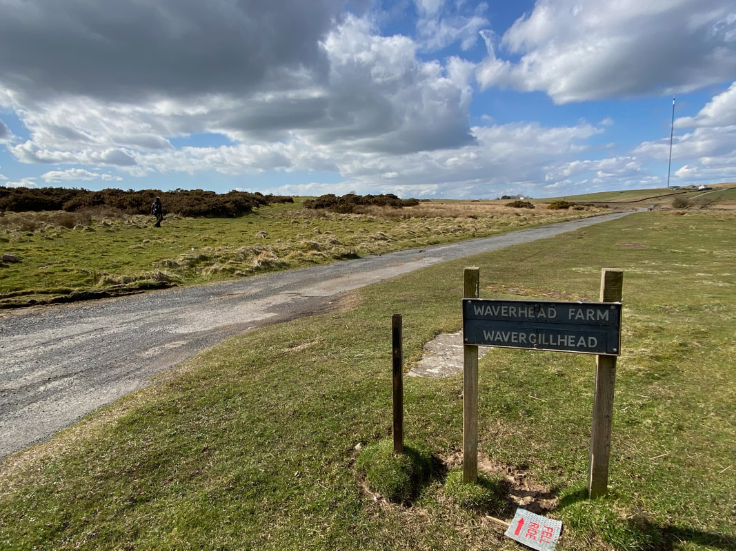
Once past Knocker House the route reaches a road linking Keswick & Carlisle and joins the Wavergillhead & Wavergill Farm access road. However the route heads off to the left almost immediately to continue over moorland.
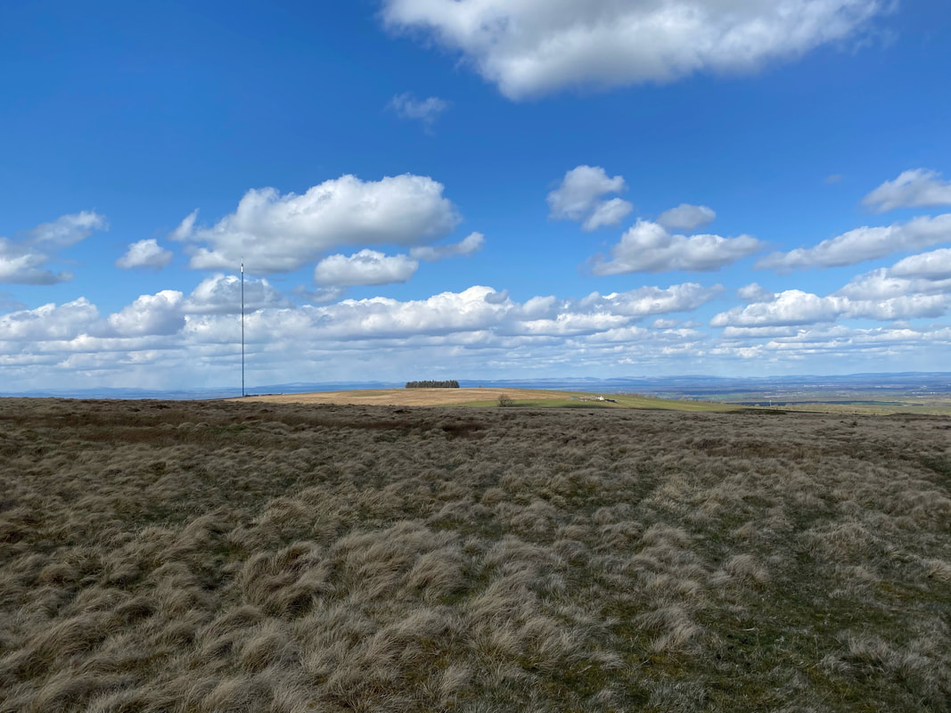
The Waverhead TV Mast
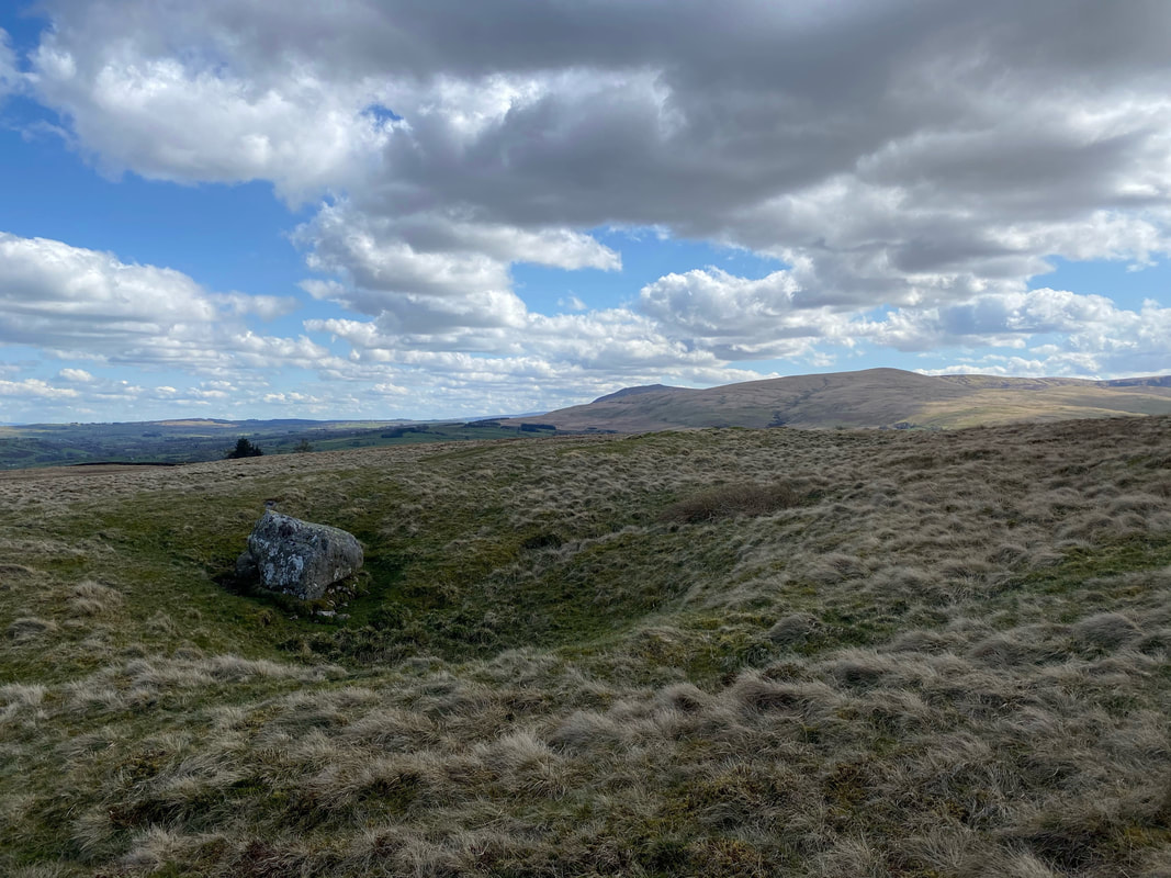
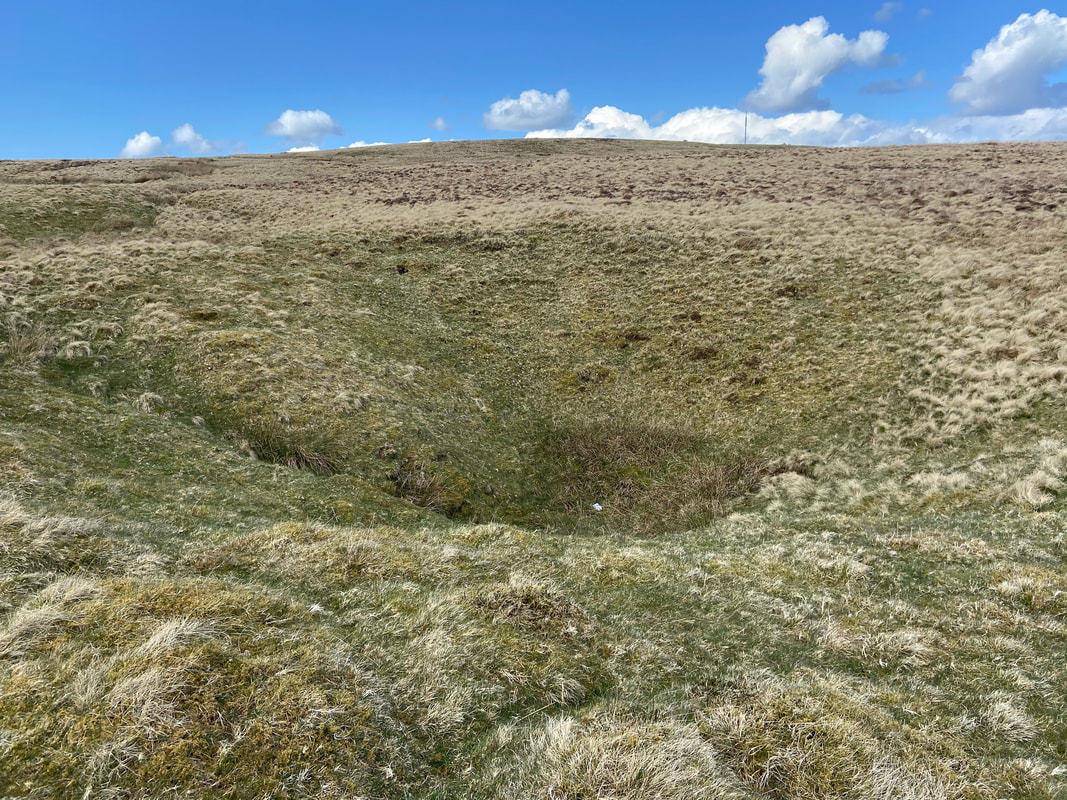
There are a few of these small craters scattered about. There are several theories as to what caused them however they are thought not to be shake holes.
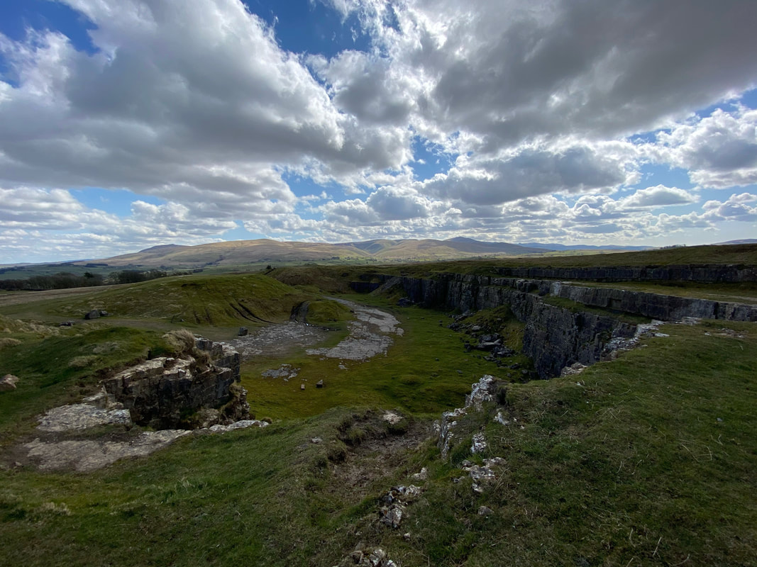
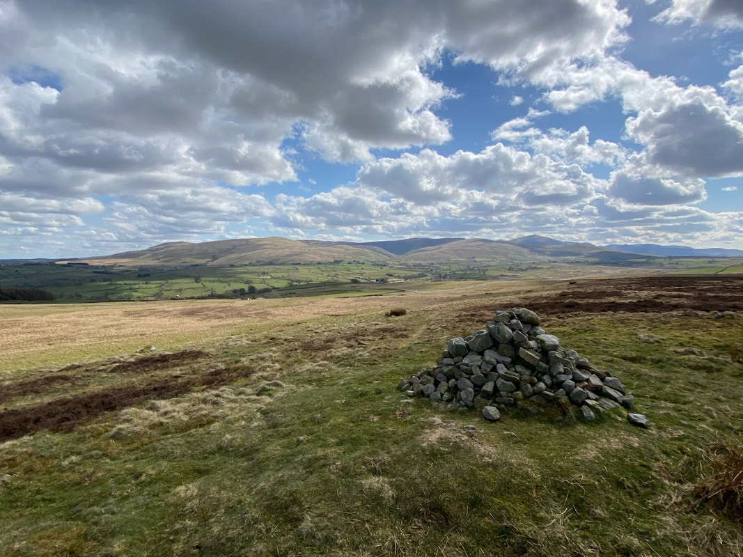
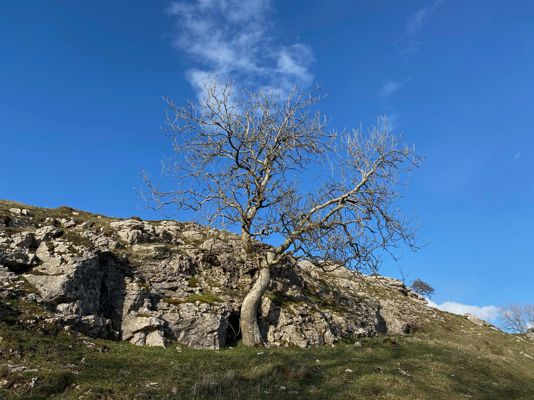
The disused limestone quarry near the summit of Faulds Brow
Approaching the summit of Faulds Brow
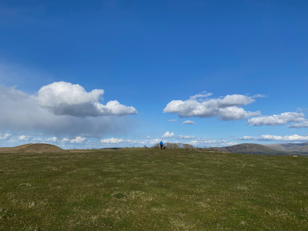
Near the summit is a large cairn however the highest point lies 15 metres away to the north west
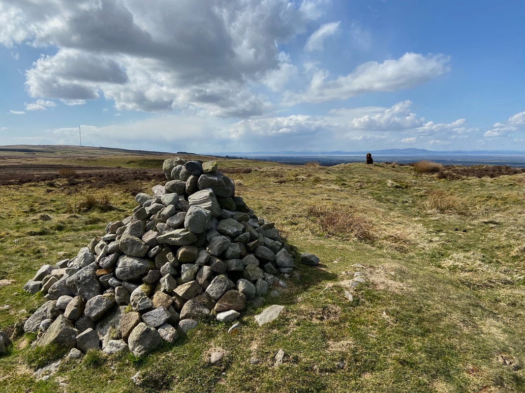
Fudge proudly indicating the position of the true summit of Faulds Brow. Behind him is the Solway Firth and Criffel.
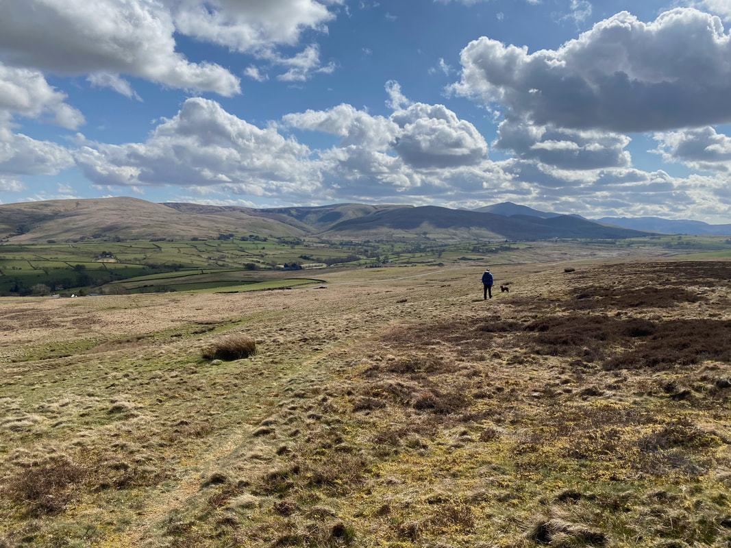
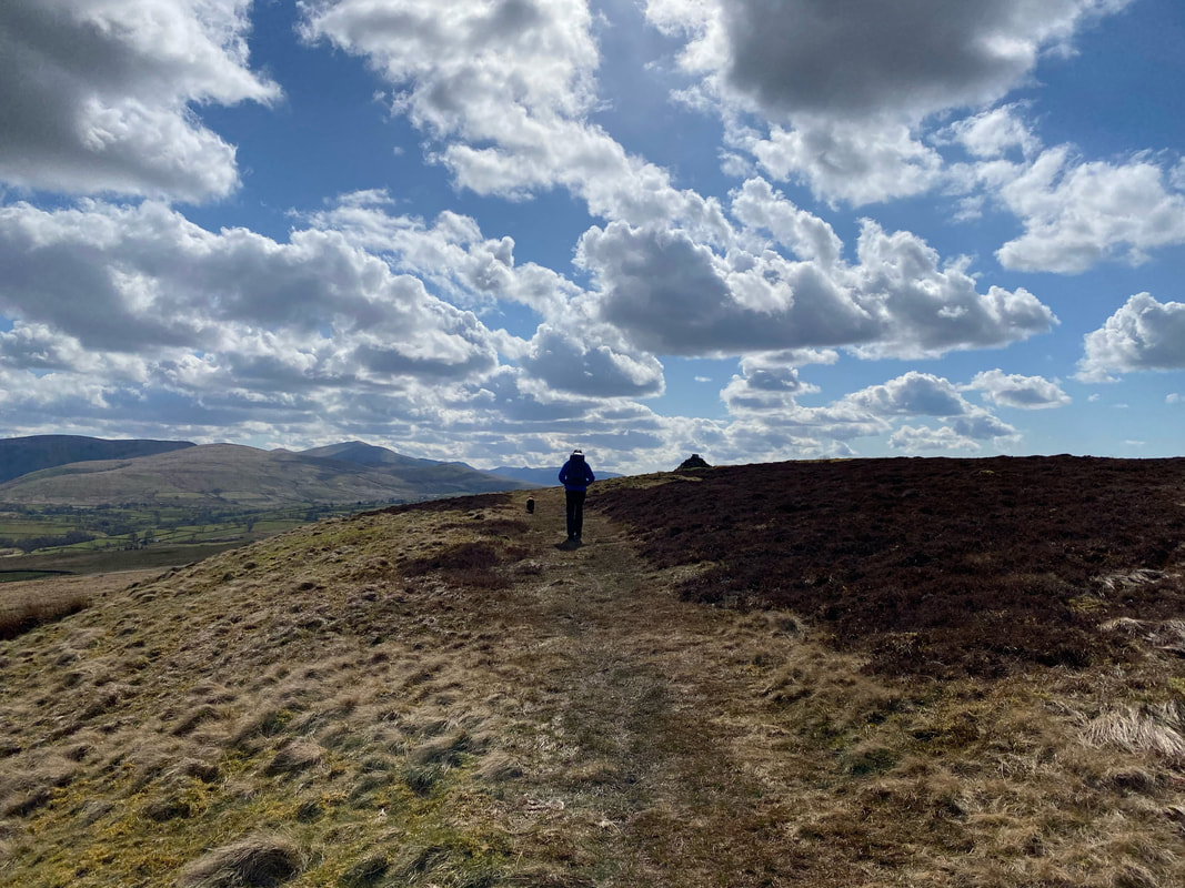
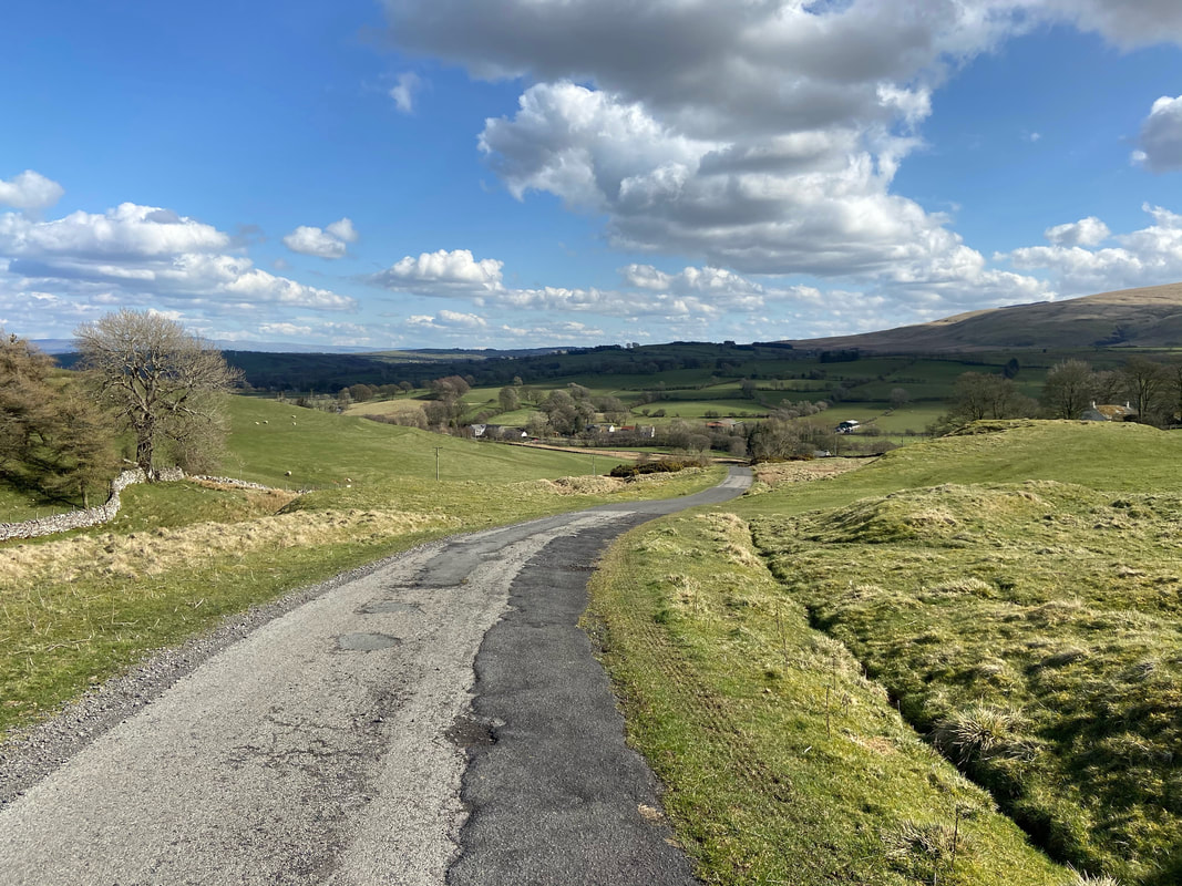
From the summit the route heads downhill on a vague path towards the road that we crossed earlier near Waverhead
Another one of those craters - this one was twice the size of the one we saw earlier
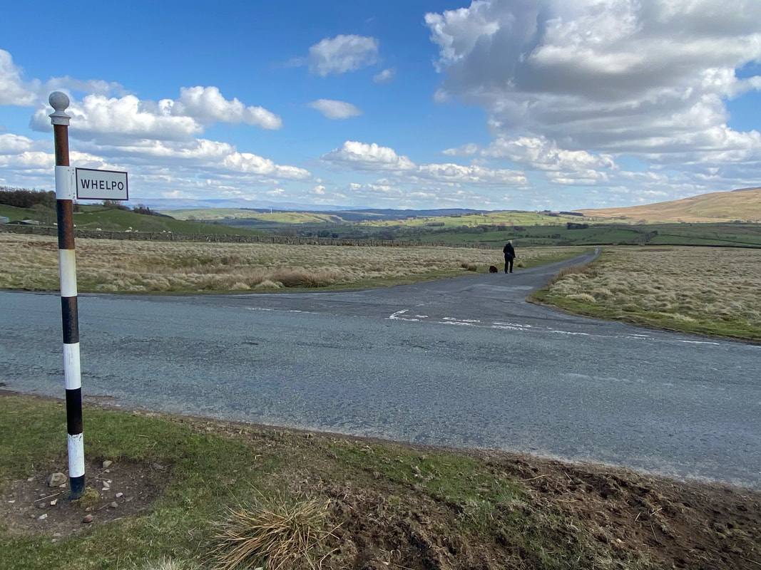
Reaching the road we crossed over and headed down to Whelpo
Whelpo below
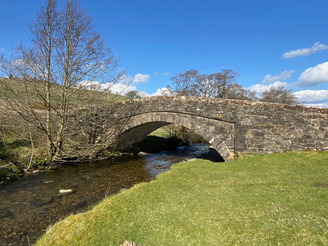
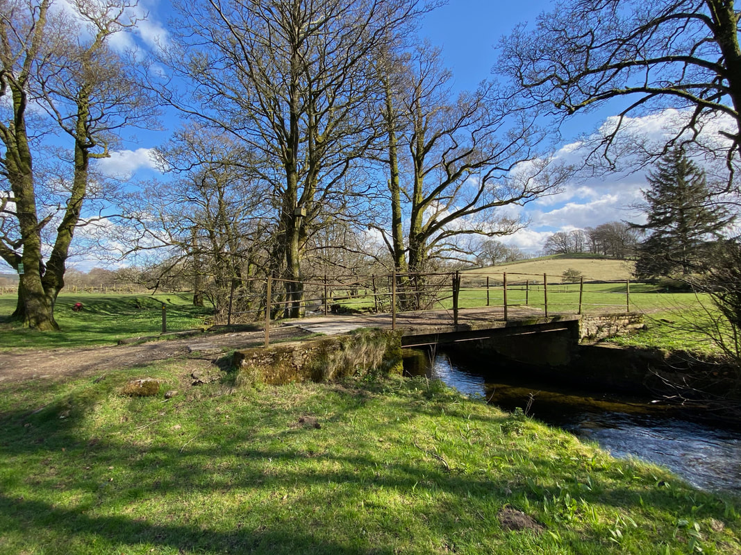
Whelpo Bridge
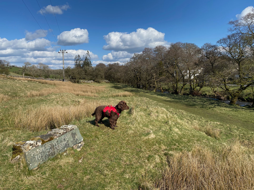
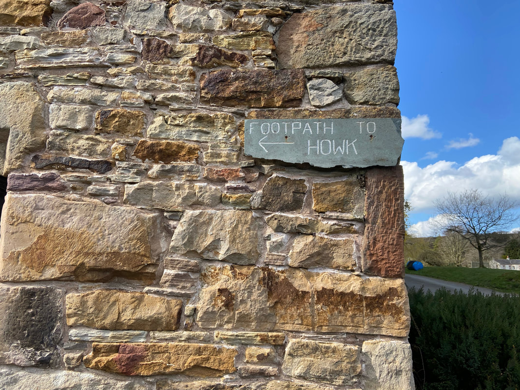
In Wainwright's Outlying Fells book (Page 213) the route returns to Caldbeck via the B5299 which can be seen across the other side of Whelpo Beck on the right. As can be seen here, there is a permissive path all the way back to Caldbeck via The Howk - Wainwright does mention that this route "is a much better way to finish the walk" - he is right, it is!
The footbridge over Whelpo Beck near Beckstones - only use this bridge if you are returning to the road, otherwise continue alongside the beck.
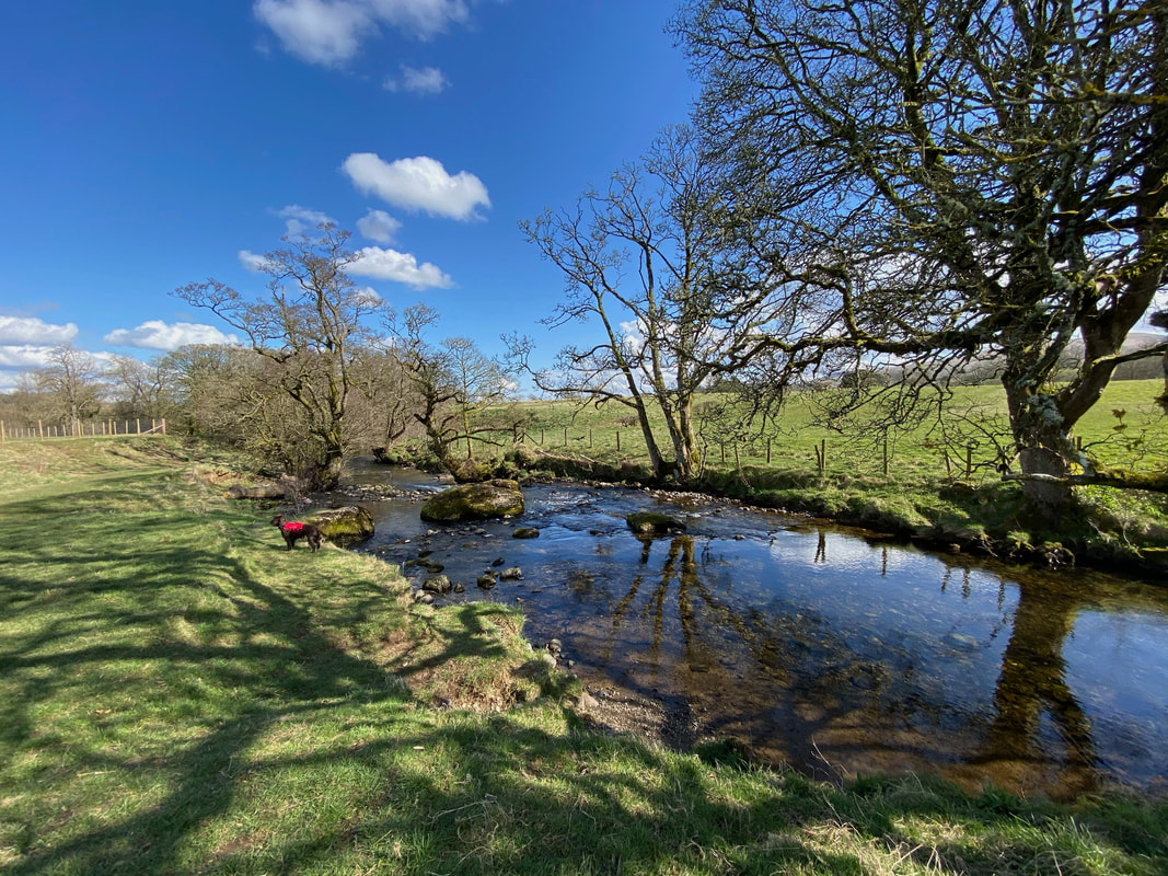
Whelpo Beck
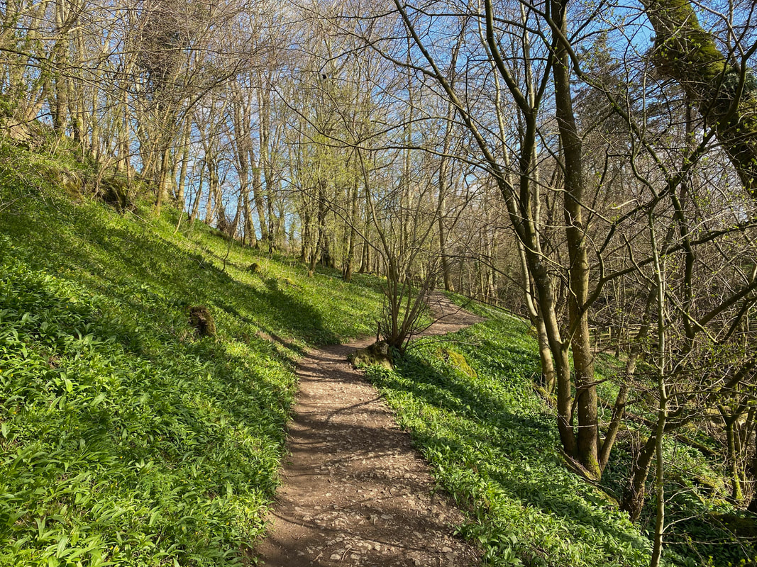
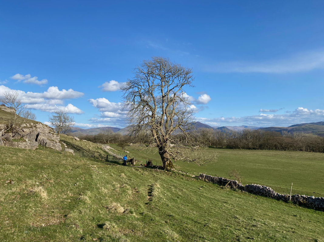
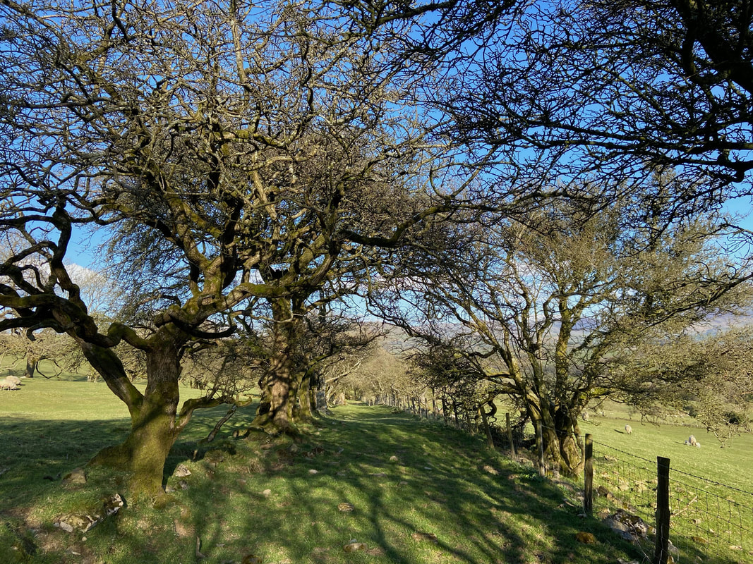
Before reaching The Howk, the route passes through this lovely area of woodland
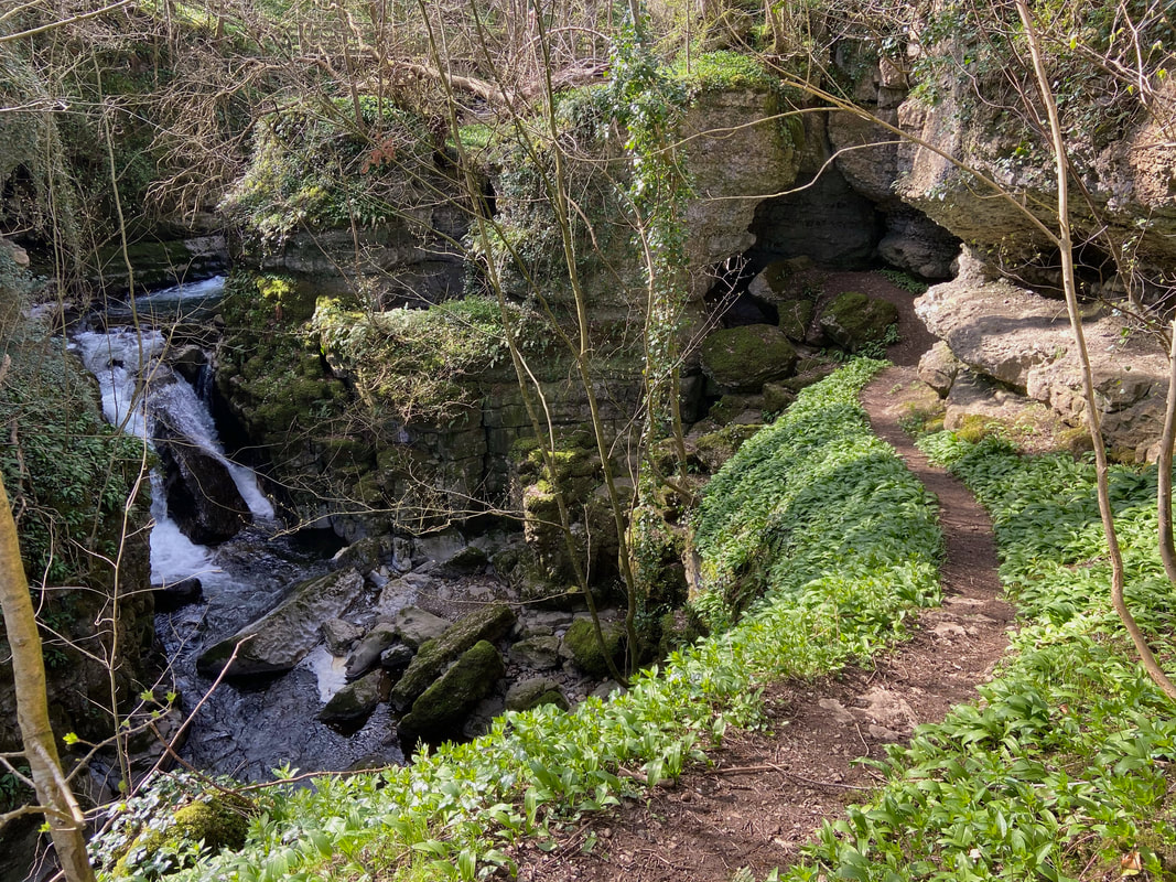
The Howk Waterfall at Howk Gorge
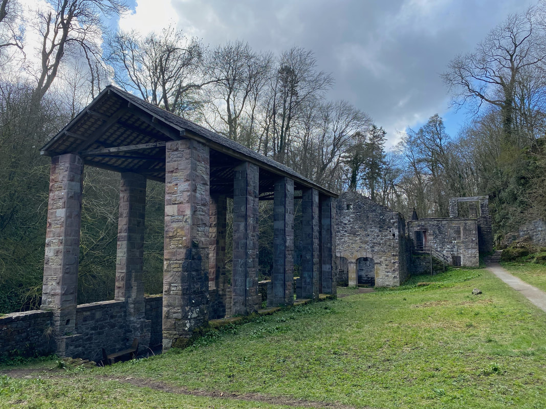
The ruins of the old Bobbin Mill near The Howk. The mill made bobbins for the textile industry from 1857 until 1924. It had the largest waterwheel in the country which was 3 feet wide and 42 feet in diameter.
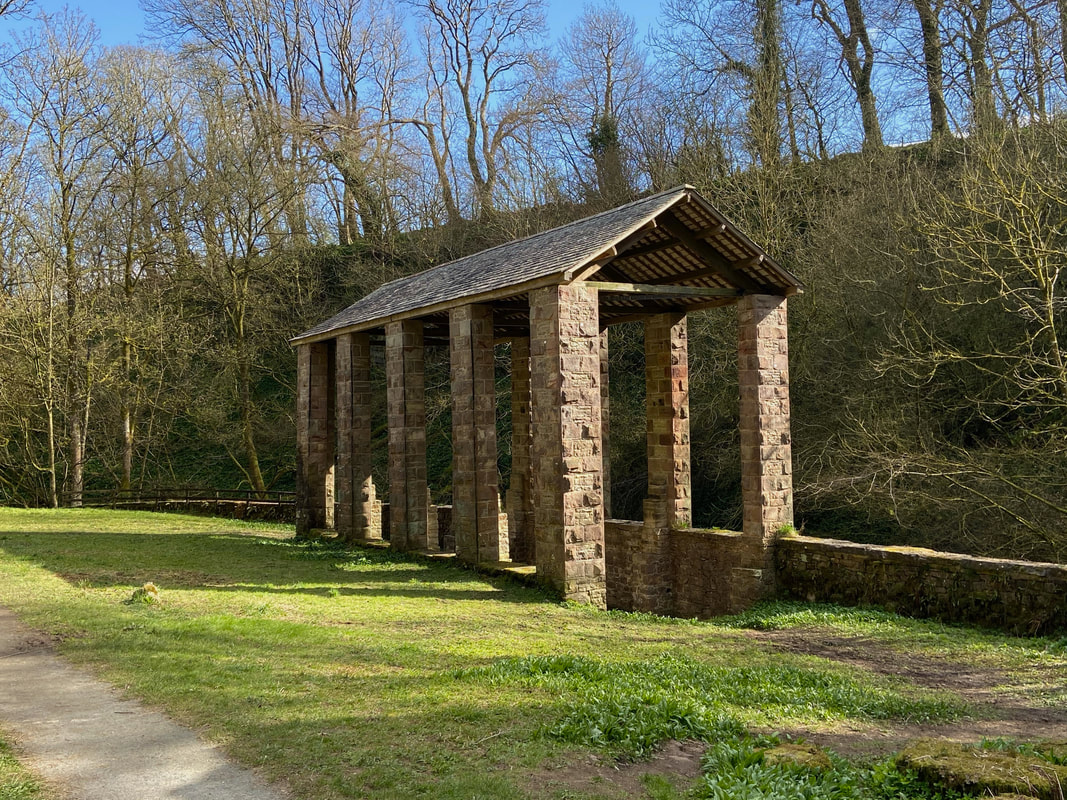
Hardwood coppiced from around Caldbeck was stored in this large two storey coppice shed
Back in Caldbeck
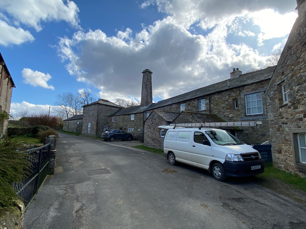
The 17th Century Mill at Caldbeck (Outlying Fells Drawing, Page 213)
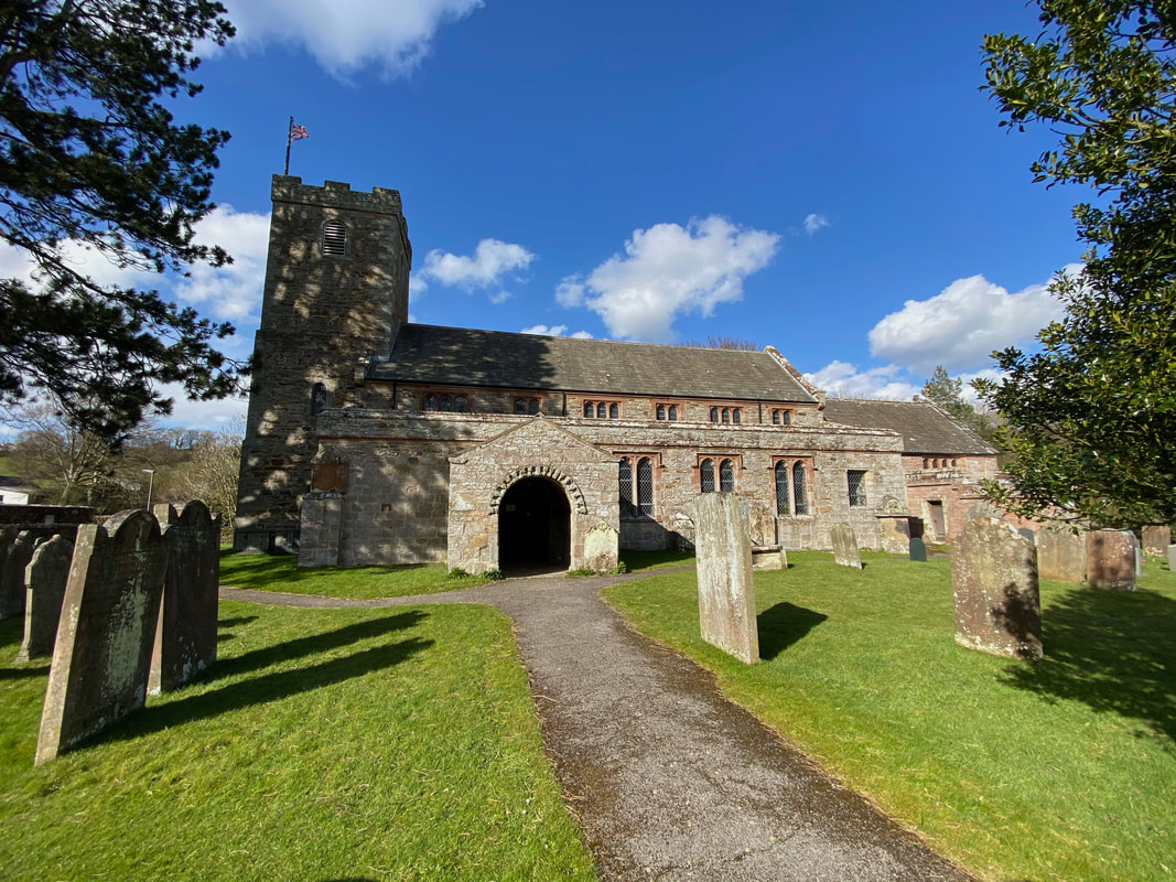
St Kentigern's Church in Caldbeck - it is a popular name for churches in Cumbria. There are others in Mungrisdale, Aspatria and Crosthwaite near Keswick.
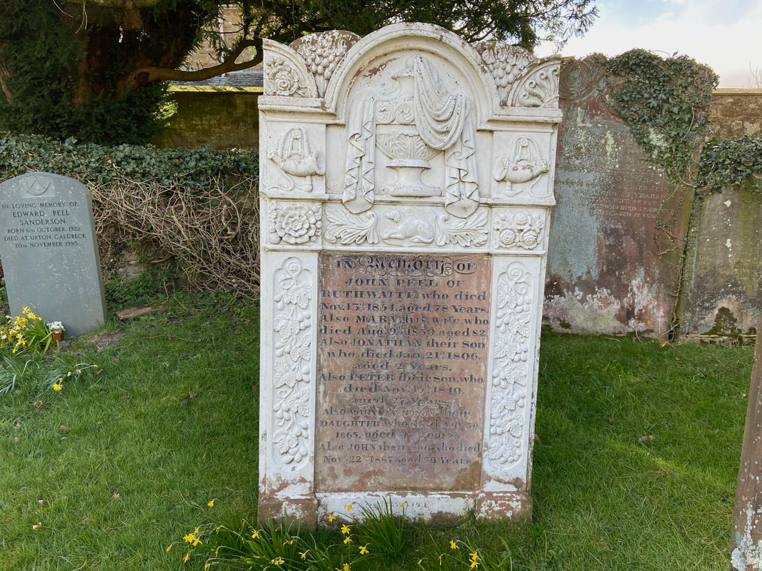
St Kentigern's Church is the burial place of John Peel - not the Radio 1 Disc Jockey but the famous Cumbrian Huntsman. Peel even had a song written about him called "D'ye ken John Peel?" translated as "Do you know John Peel?" Whilst English counties have no official anthem. However, "D'ye ken John Peel?" is commonly regarded as a kind of unofficial anthem of Cumbria and the region.
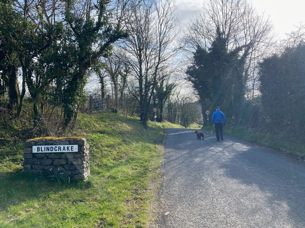
Having finished this delightful walk we then drove over to Blindcrake.
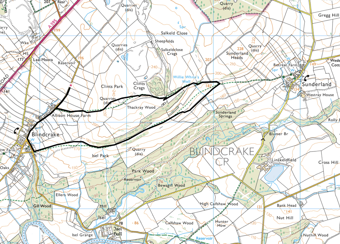
Clints Crags
Route
Blindcrake - Allison House Farm - Clints Crags - Willie White's Well - Isel Park - Blindcrake
Parking
Verge parking above the village of Blindcrake (Free) at Grid Reference NY 15359 35428. Nearest postcode is CA13 0QL.
Mileage
3.7 miles
Terrain
Grassy paths with some road walking along quiet lanes.
Weather
Sunshine with very good visibility.
Time Taken
1hr 35mins
Total Ascent
429ft (131m)
Wainwrights
1 Outlying Fell
Map
OL5 The English Lakes (North Western Area)
Walkers
Dave, Angie & Fudge
|
GPX File
|
| ||
If the above GPX file fails to download or presents itself as an XML file once downloaded then please feel free to contact me and I will send you the GPX file via e-mail.
Route Map - Clints Crags
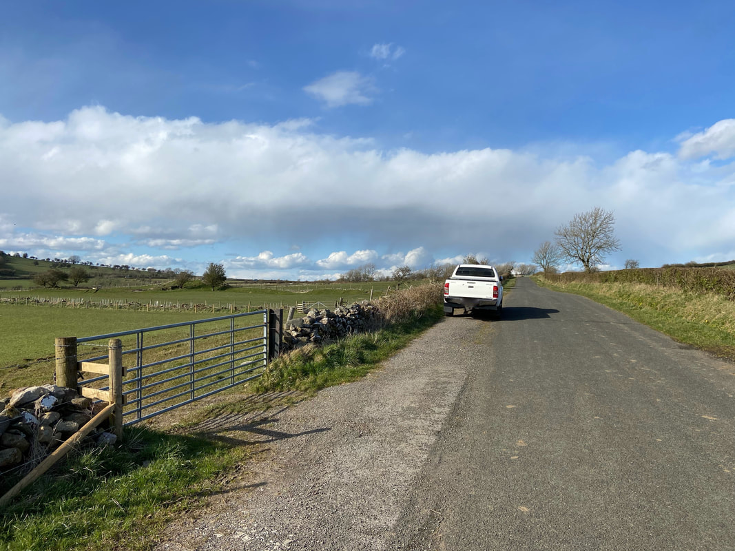
Just above the village of Blindcrake is verge parking with room for 4 or 5 sensibly parked cars
The route heads back into the village of Blindcrake - no rucksack as this was only a short walk
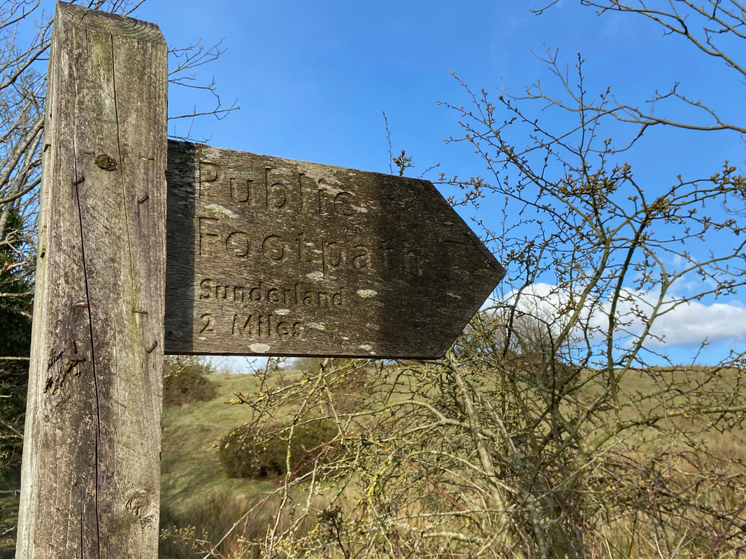
A short distance after re-entering the village a track heads off to the left in the direction of Sunderland
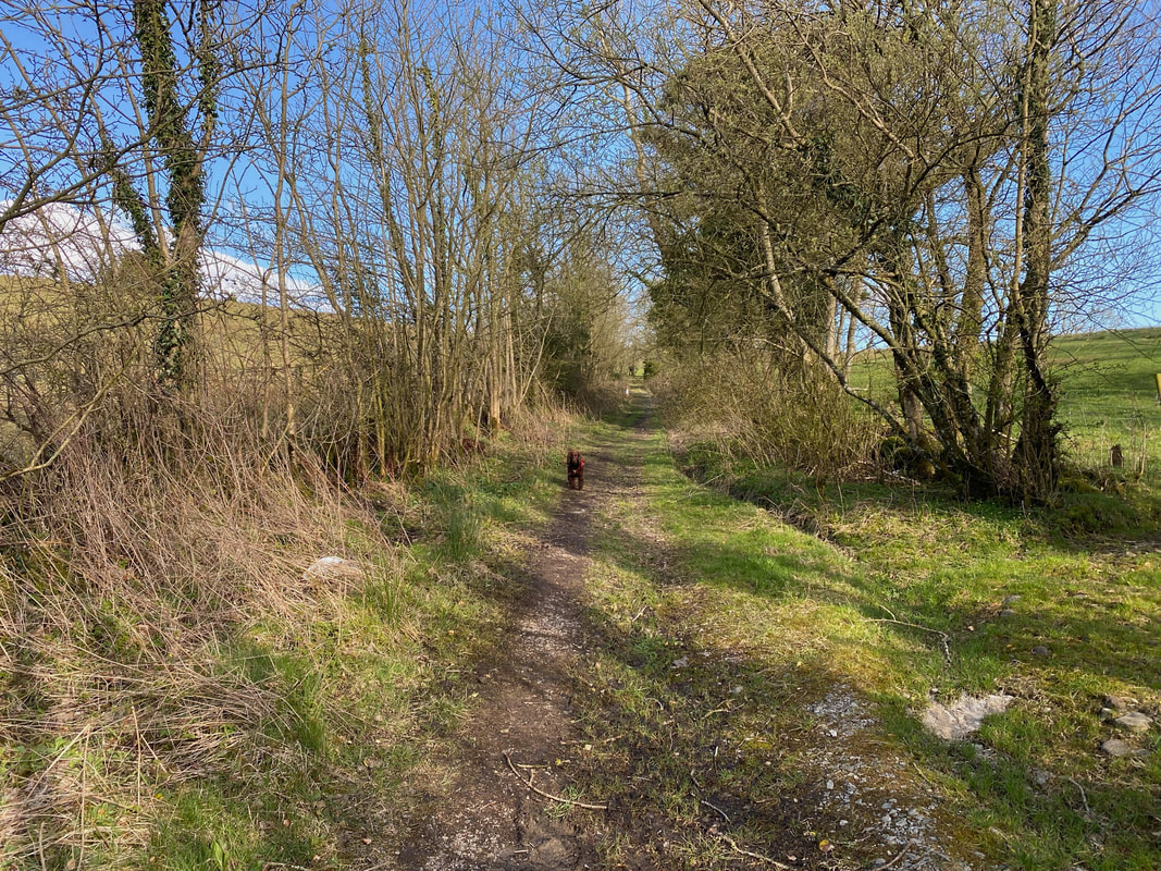
A gate at the top of the track (just about in view) gives access to the open fell side
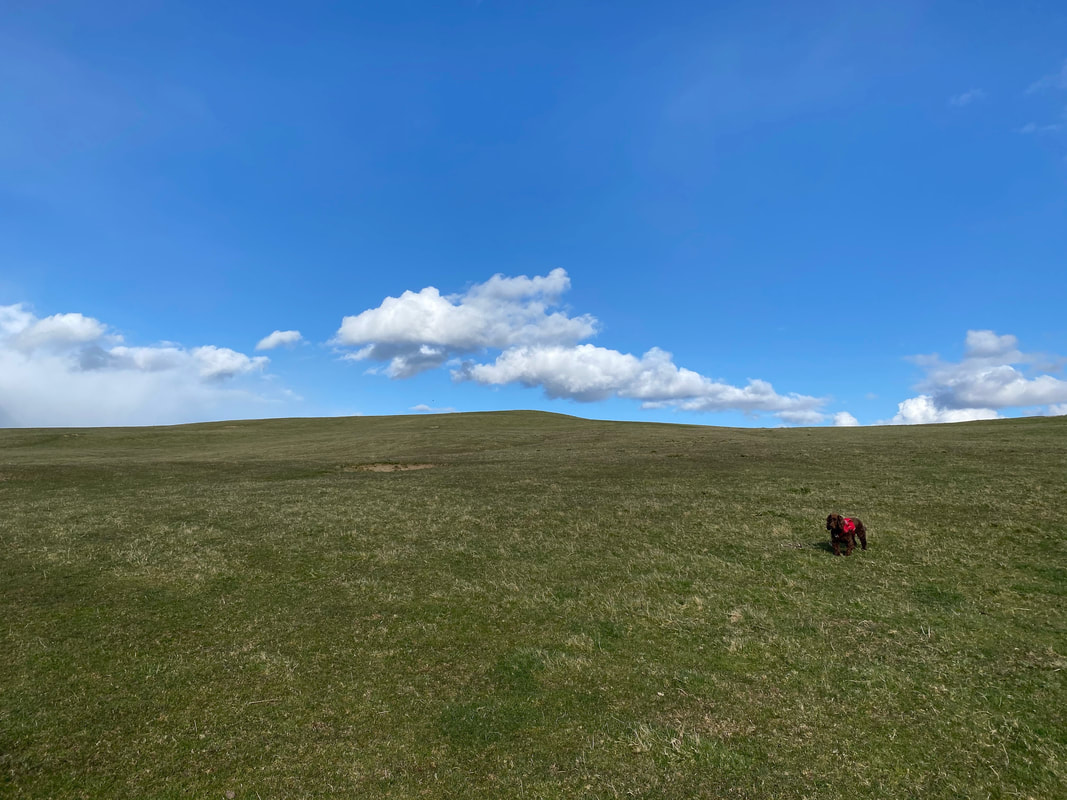
Fudge's favourite terrain - Clints Crags is ahead in the centre of shot
The summit of Clints Crags
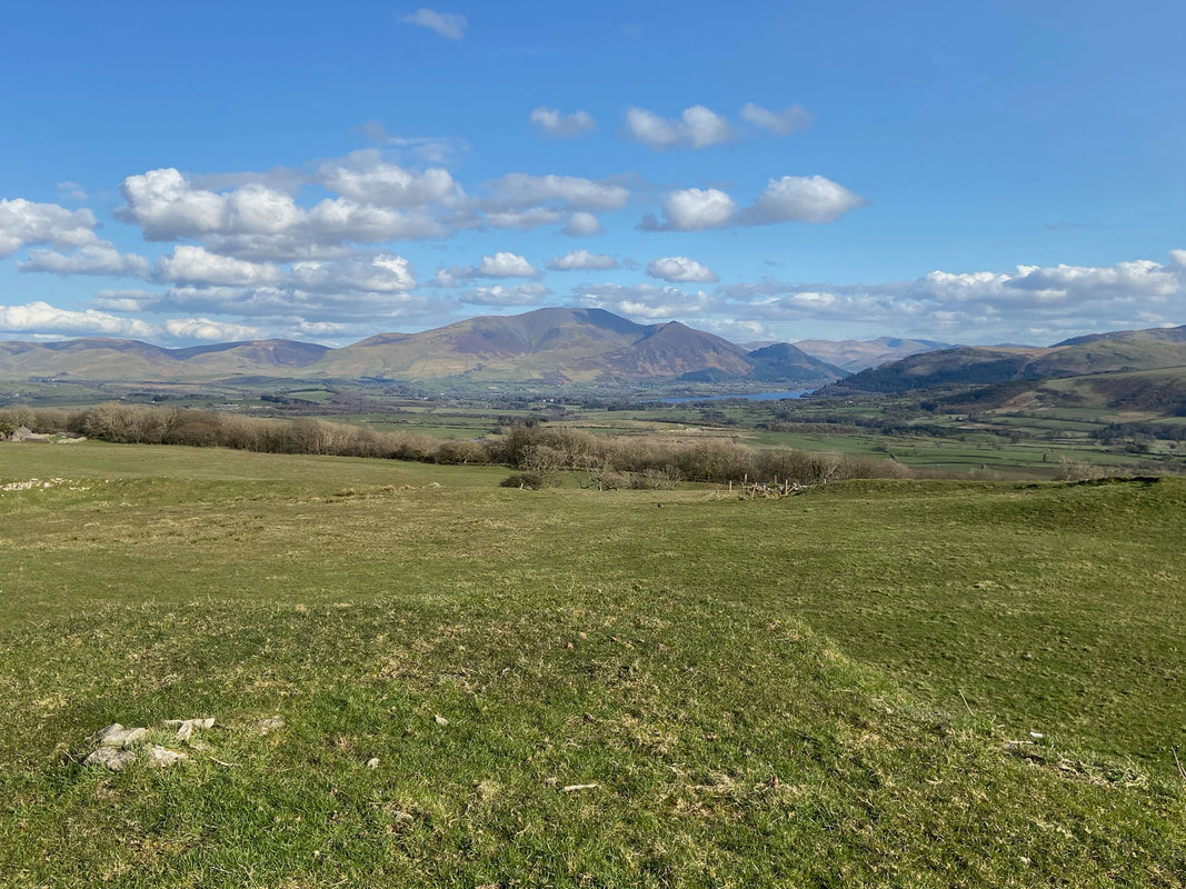
The Skiddaw Range over Bassenthwaite Lake from the summit of Clints Crags
The route down to Thackray Cottage which can be seen to the centre right. Binsey is the fell in the centre of shot with the Back O'Skidda over to the right.
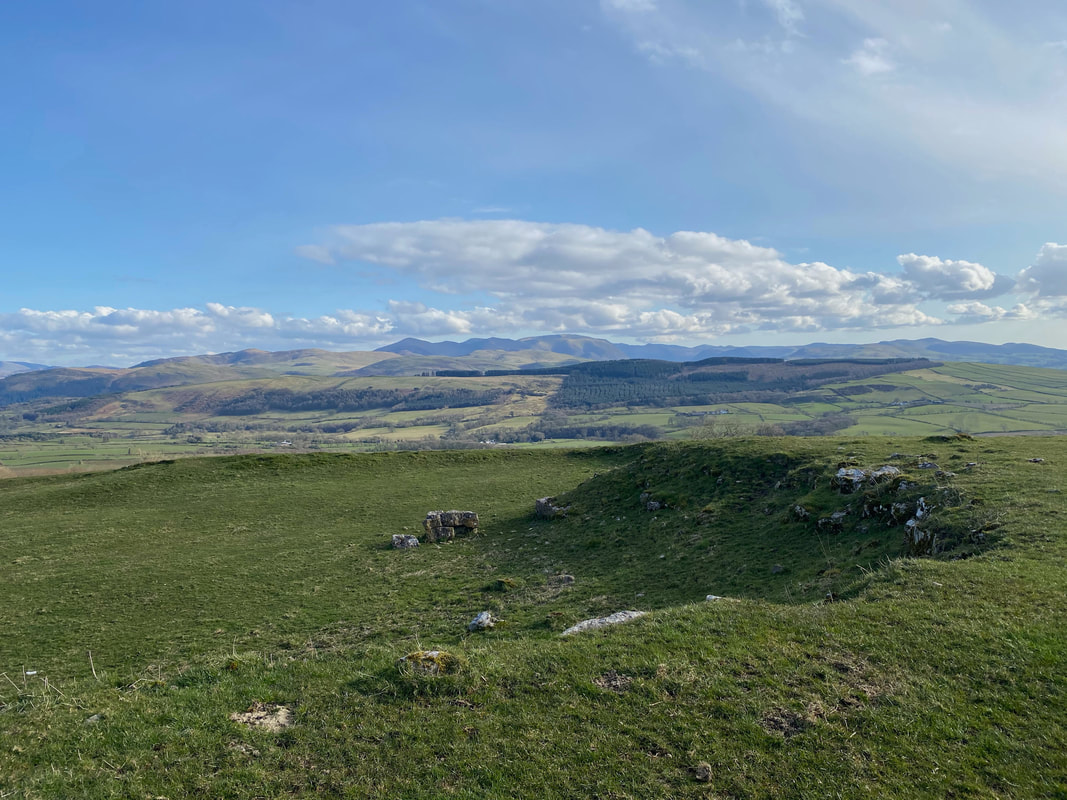
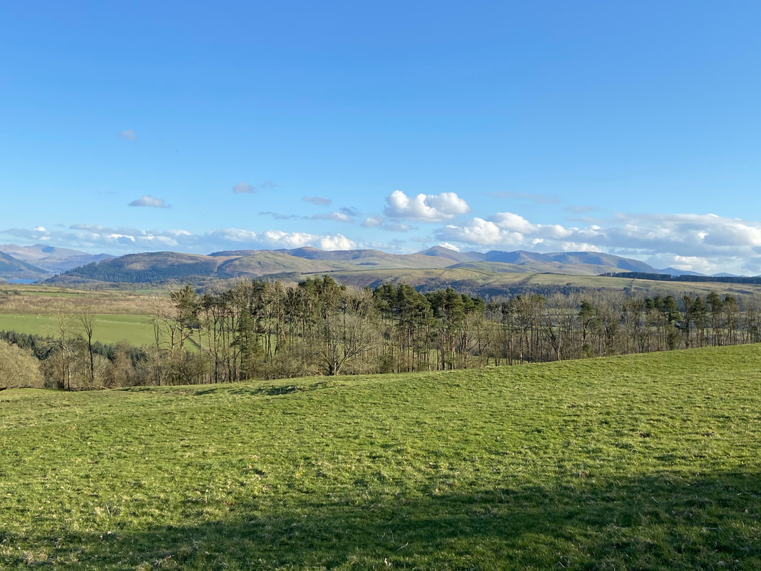
The North Western Fells from the summit of Clints Crags
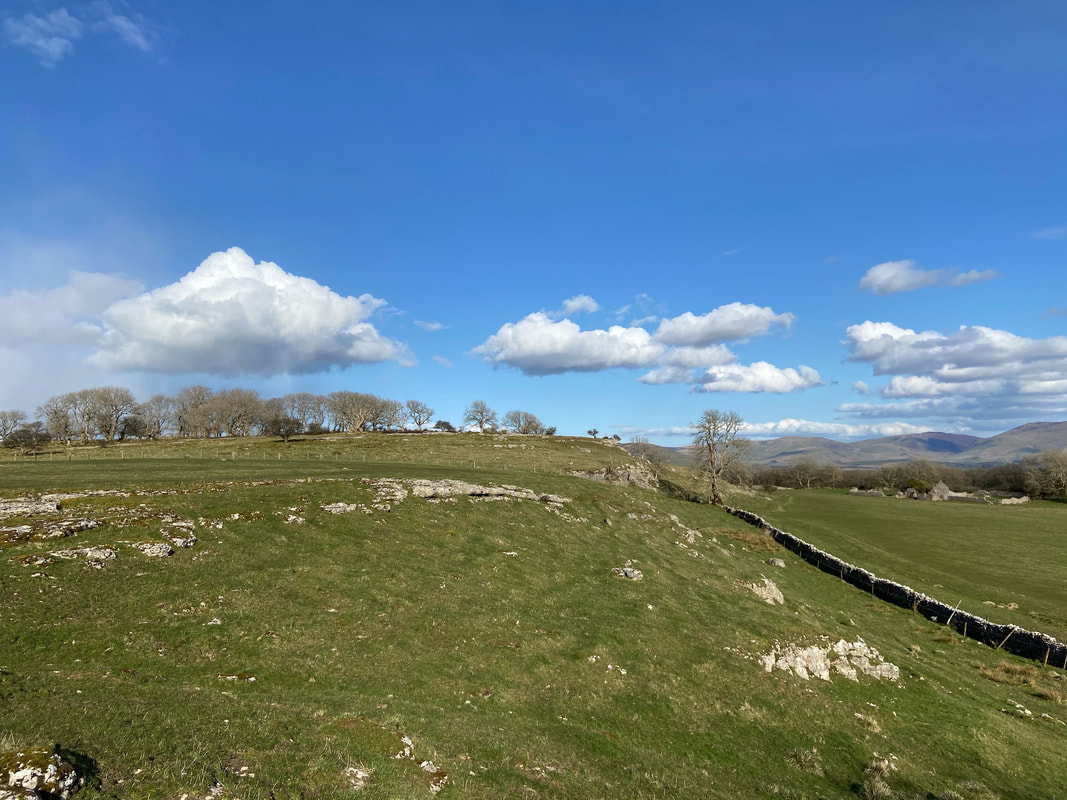
The limestone escarpment above Thackray Cottage
With the limestone escarpment above to the left, the route drops down to a set of gates and heads through the right hand gate
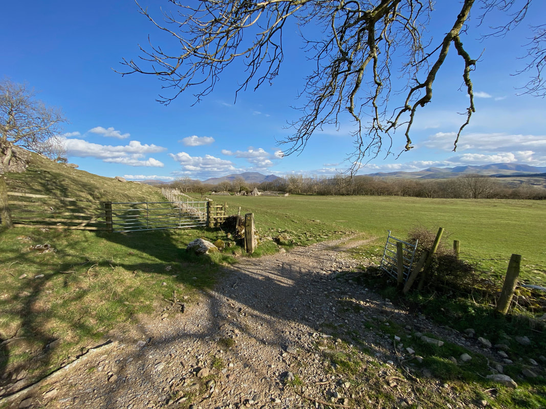
A closer look at the path heading through the right hand gate along a track - Thackray Cottage is ahead
Looking up to the limestone escarpment
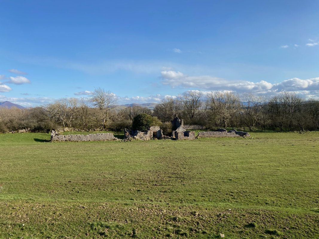
The ruins of Thackray Cottage
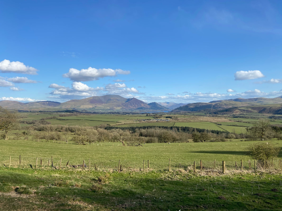
Another cracking view over to Skiddaw from near Thackray Cottage
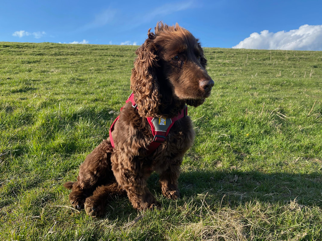
It is fair to say that Fudge really enjoyed his two outings today
Heading down to Willie White's Well
Just after Willie White's Well the route turns back on itself and heads over farmland back to Blindcrake
Binsey and the "Back O'Skidda"
The North Western Fells from near Blindcrake