Birkett Fell, Hart Side, The Dodds & Clough Head - Sunday 12 July 2020
Route
High Row - Dowthwaitehead - Birkett Fell - Hart Side - Green Side - Stybarrow Dodd - Watson's Dodd - Great Dodd - Little Dodd - Calfhow Pike - Clough Head - Red Screes - Threlkeld Knotts - Hausewell Brow - Old Coach Road - Mariel Bridge - Mothersike Brow - Barbary Rigg - Groove Beck - High Row
Parking
High Row above Dockray where there is free parking for several cars - Grid Ref NY380219. The nearest postcode is CA11 0LG.
Mileage
13 miles
Terrain
Mountain paths both stony & grassy. The descent from Threlkeld Knotts to the Old Coach Road is pathless but the going is good. The conditions underfoot generally were ok although the path from Dowthwaitehead to the wall turning for Birkett Fell can be boggy in places, particularly after heavy rain.
Weather
Warm & sunny with welcome light breezes.
Time Taken
7hrs 45mins
Total Ascent
2709ft (826m)
Wainwrights
5
Map
OL5 - The English Lakes (North Eastern Area)
Walkers
Dave, Angie & Fudge
|
GPX File
|
| ||
If the above GPX file fails to download or presents itself as an XML file once downloaded then please feel free to contact me and I will send you the GPX file via e-mail.
Route Map
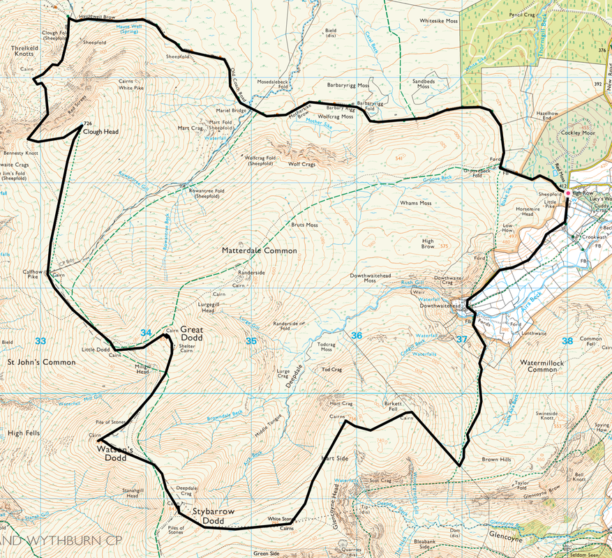
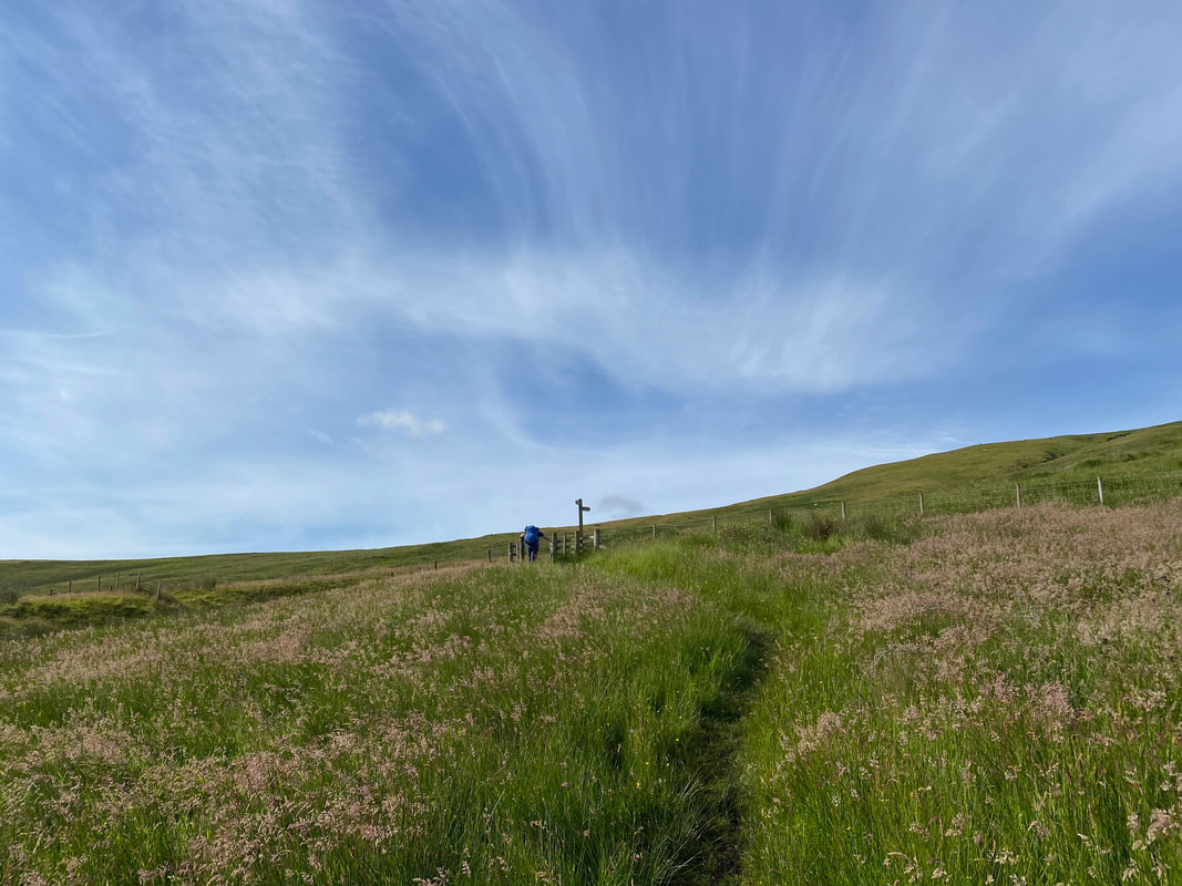
The Car Park above Dockray at High Row. There is room here for about 15 or so sensibly parked cars but at the weekend get here early. Our route today headed in the direction of Dowthwaitehead and we would be returning via the gate on the right.
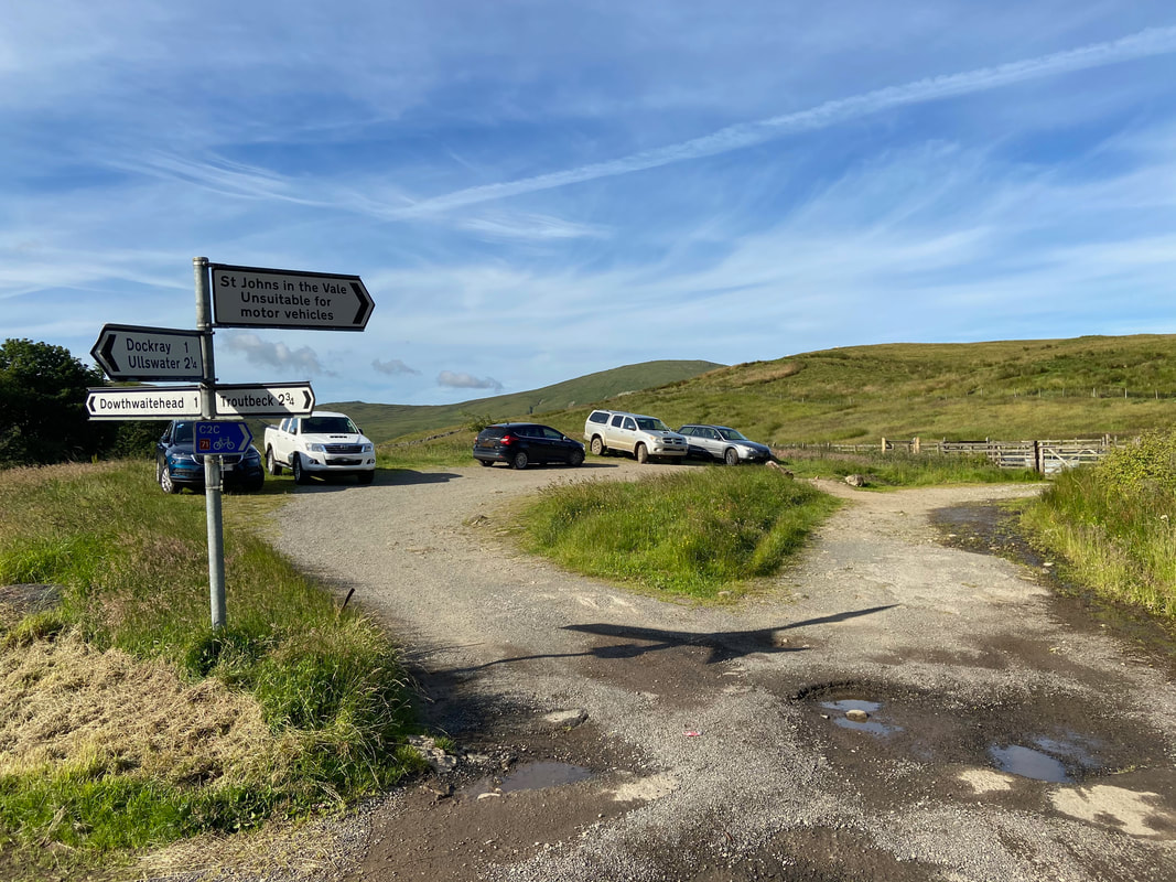
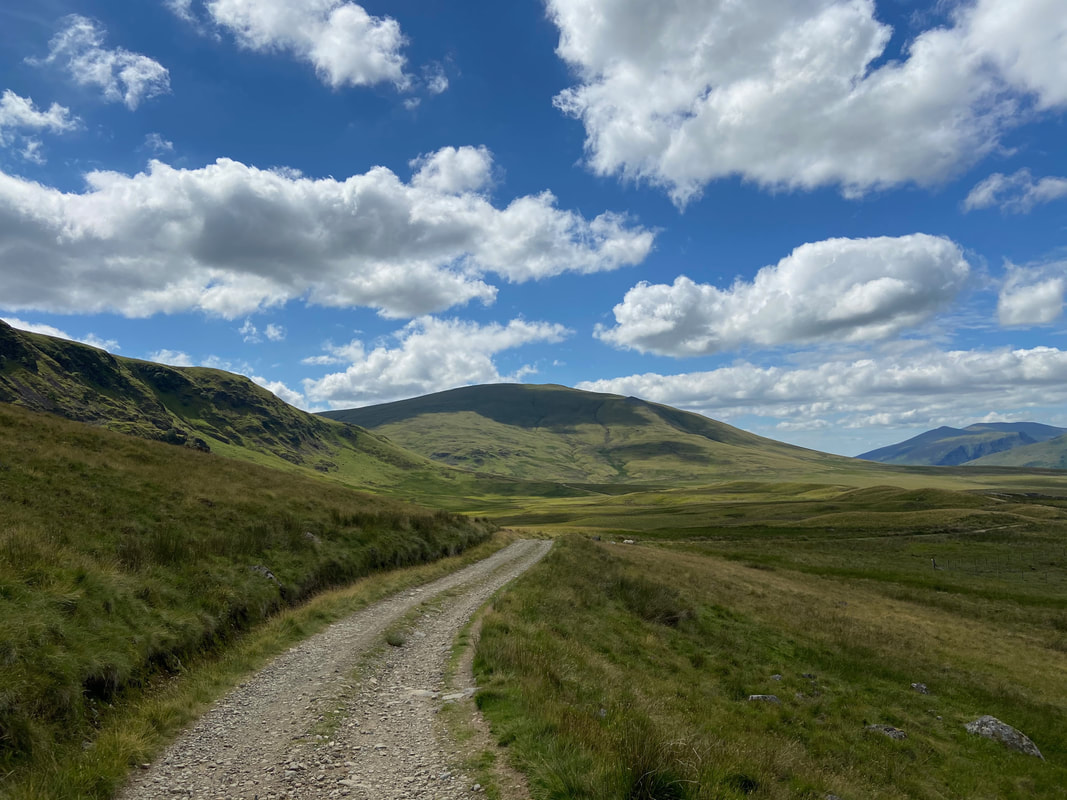
Heading down the farm access road towards Dowthwaitehead with Birkett Fell ahead
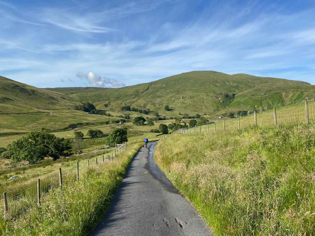
The farm buildings at Dowthwaitehead come into view as we continue down the lane. The fell to the right is Dowthwaite Crag.
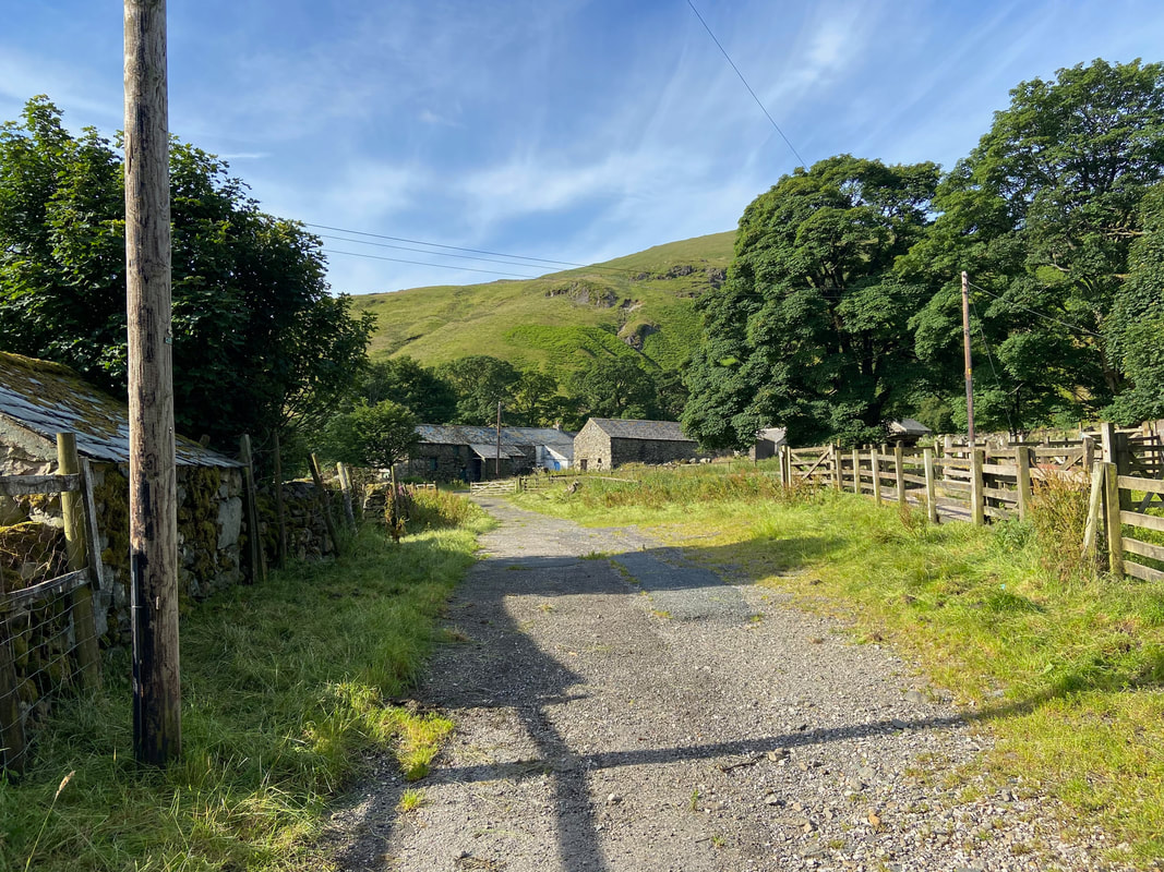
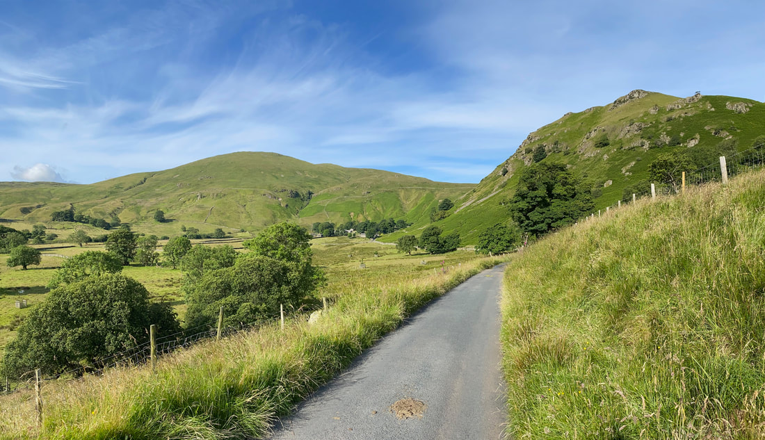
The farm at Dowthwaitehead - the route does not pass through the farm but heads off to the left near the central gate ahead.
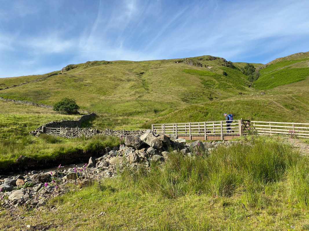
Crossing Aira Beck - the route follows the wall to the left and then crosses it to continue in the same direction
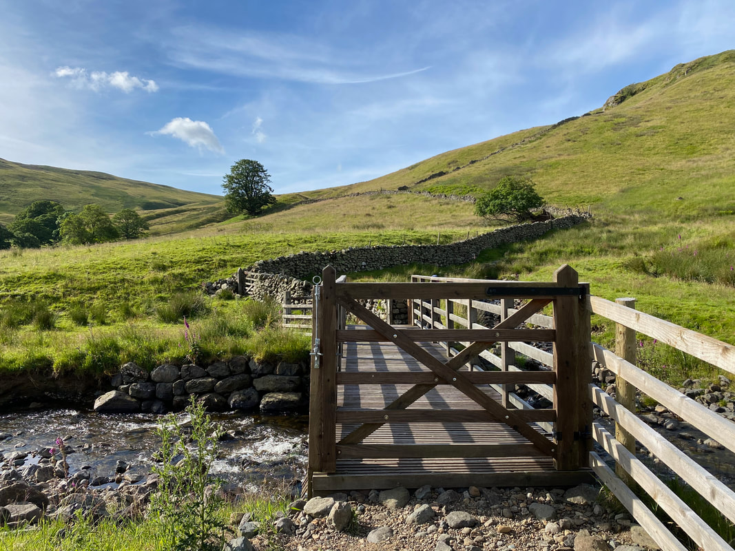
The bridge over Aira Beck. A straightforward yet steep ascent of Birkett Fell can be made by following the wall up to the right however the best route is to continue along the flank - the views later on are superb.
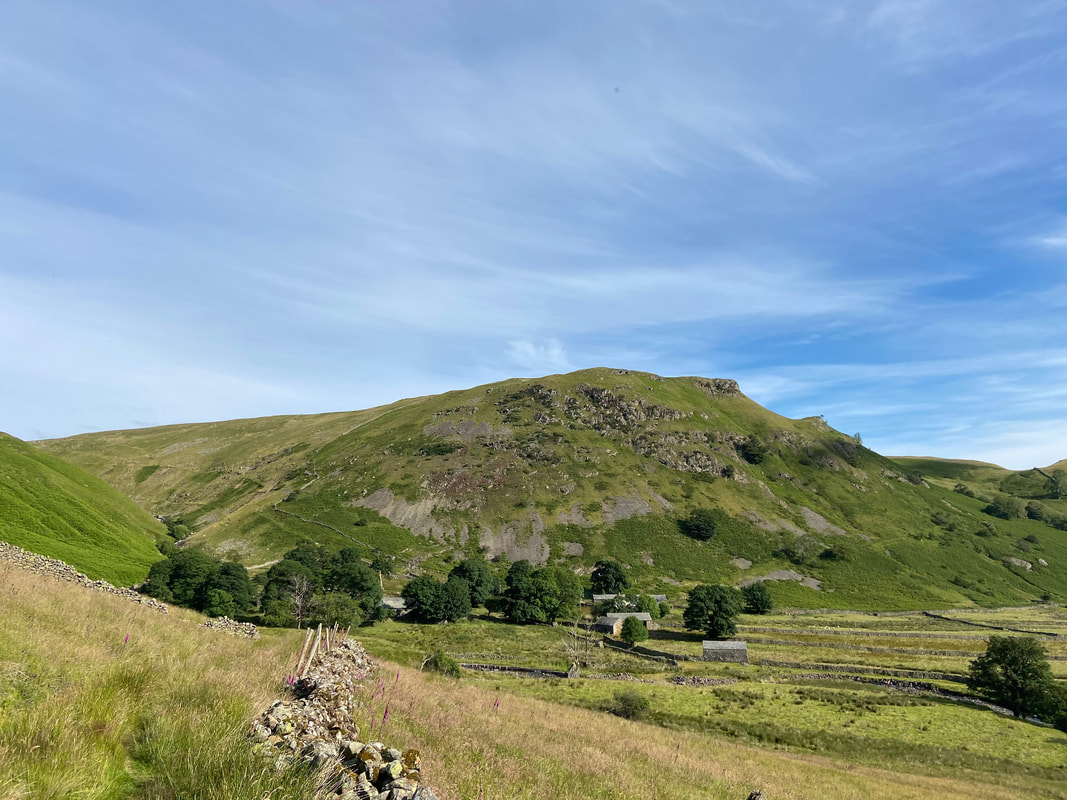
Dowthwaite Crag & Dowthwaitehead
Crossing the fence line on to Watermillock Common
The Mell Fells
Common Fell across Watermillock Common
Sheffield Pike and Nick Head. The path slanting across the lower slopes of Sheffield Pike is from Glenridding via Seldom Seen.
The Helvellyn range across Nick Head
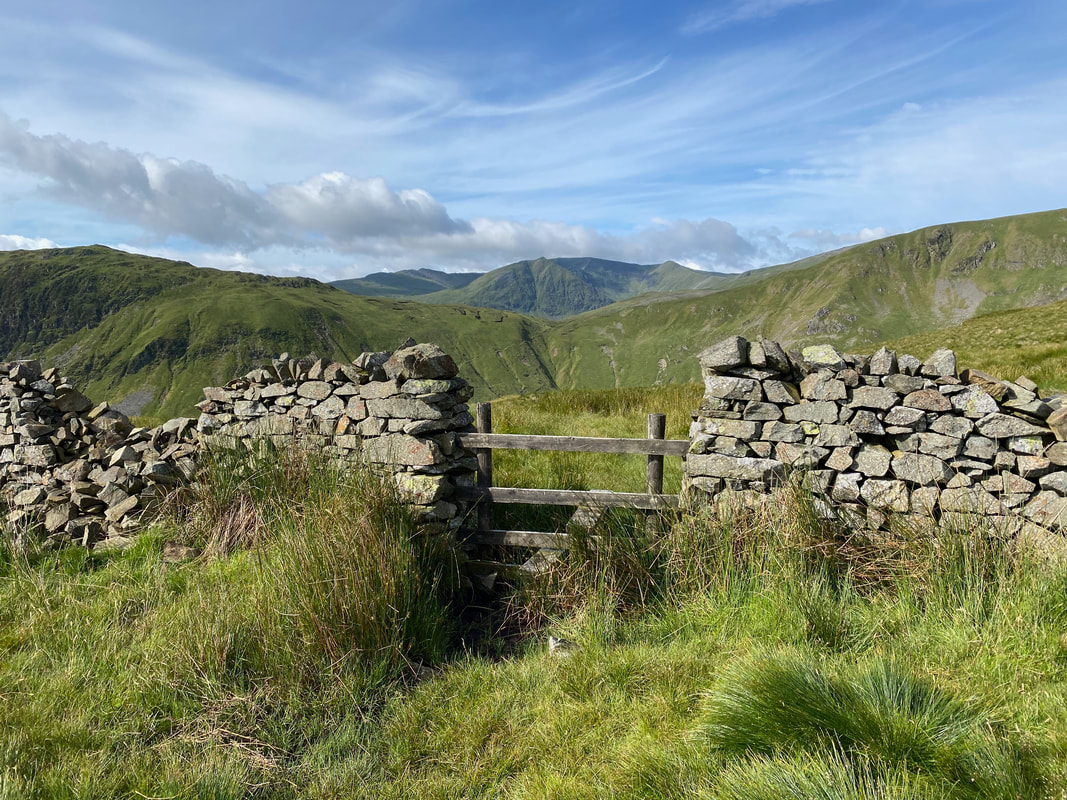
The route from Dowthwaitehead reaches a stile which is crossed to immediately turn right to make the steep ascent up to Birkett Fell
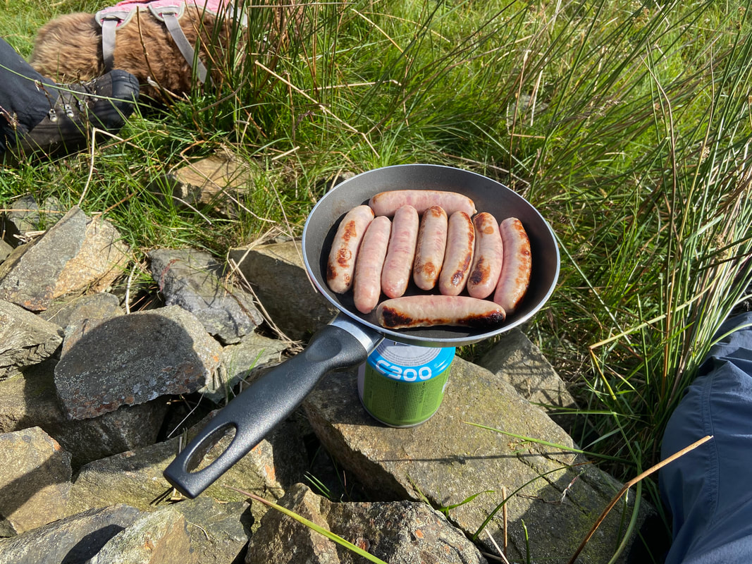
But first it was Sausage Sarnie time
Starting the ascent of Birkett Fell with the stile in the wall to the left. Whilst there is a path on the right hand side of the wall, the better path is to the left. Meanwhile, having spent the last 30 minutes drooling and begging for Sausage, Fudge was reluctant to move on from our breakfast stop.

Looking back down the very steep ascent of Birkett Fell
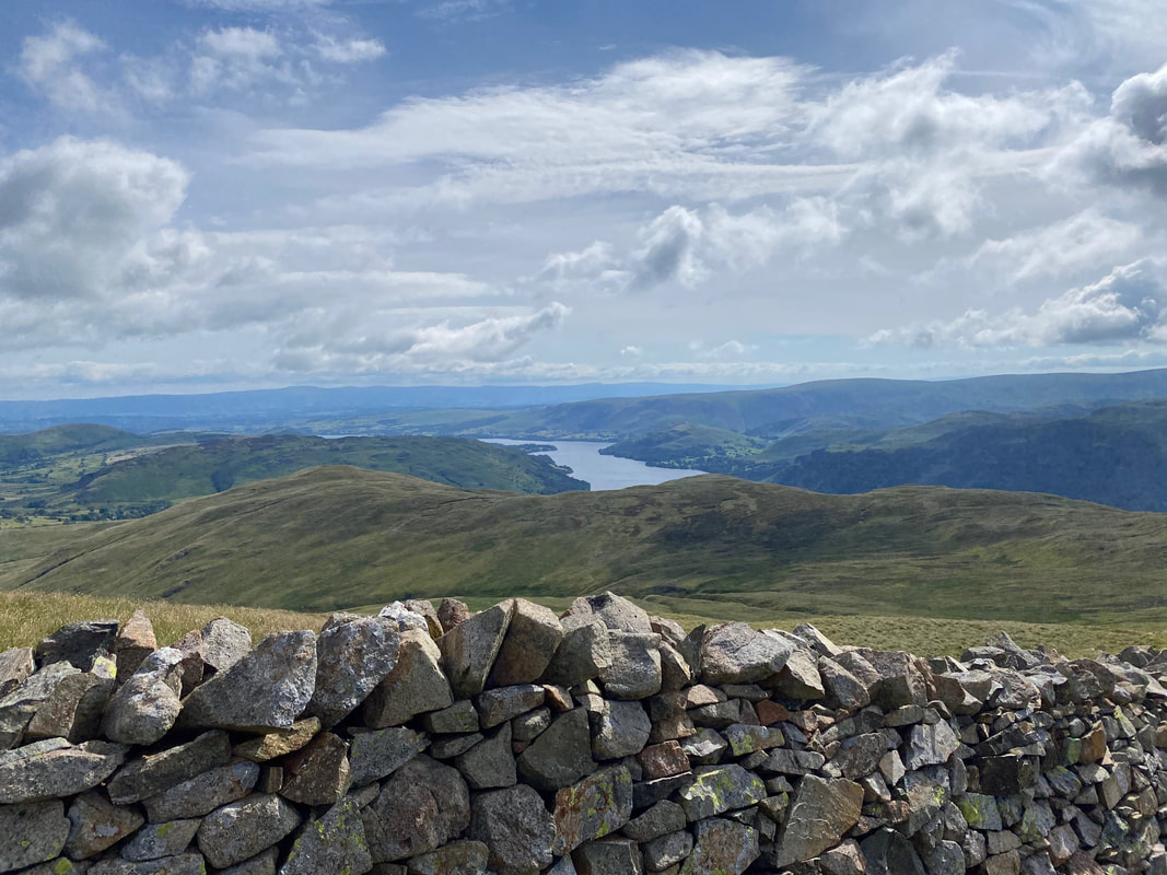
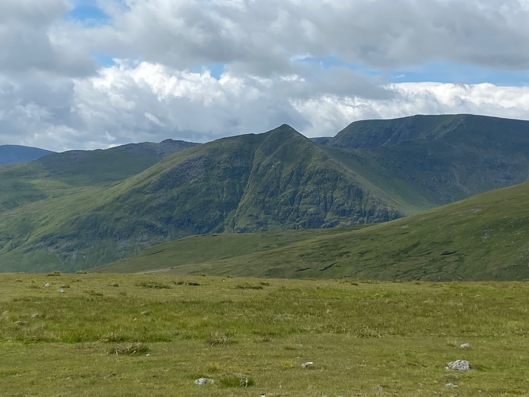
Ullswater from the ascent of Birkett Fell
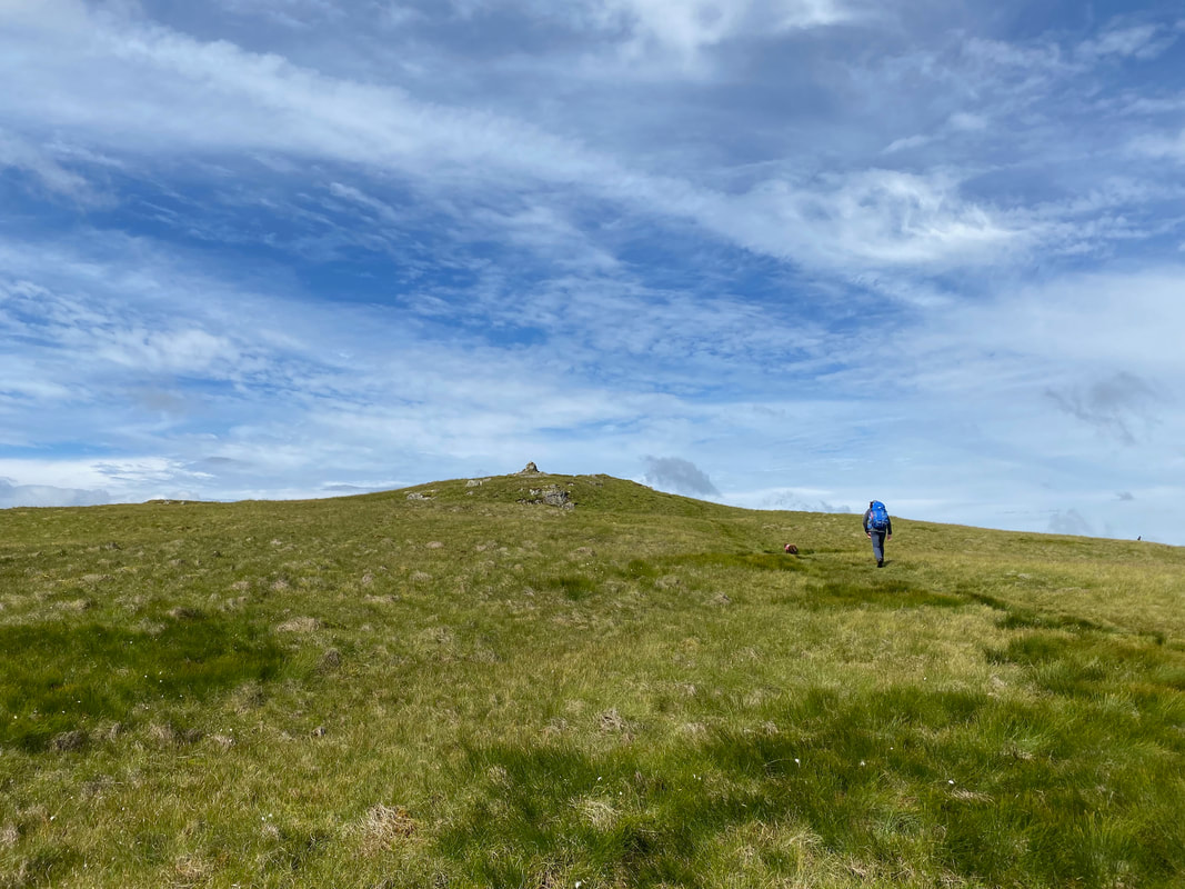
Once the wall is left the gradient eases and the summit comes into view
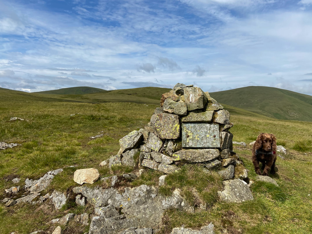
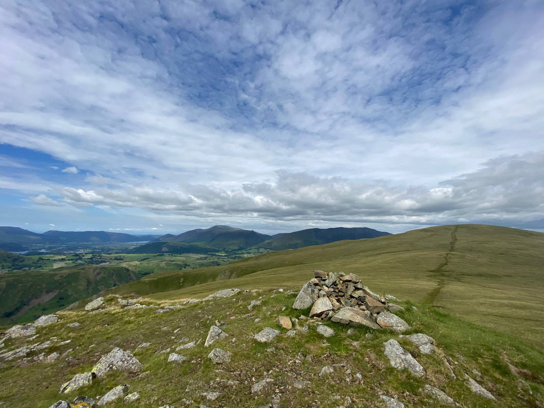
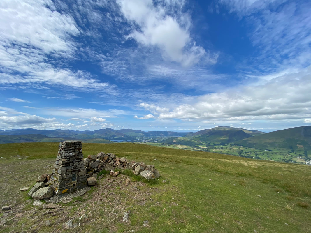
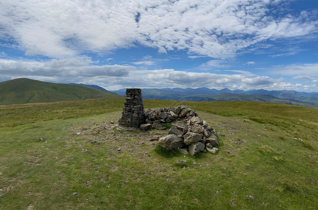
The summit of Birkett Fell with a suitably engraved plaque just in case you were unsure of your location. The memorial cairn commemorates Lord Birkett of Ulverston who, in the 1960's successfully resisted proposals to turn Ullswater into a reservoir. He was also an early advocate of National Parks.
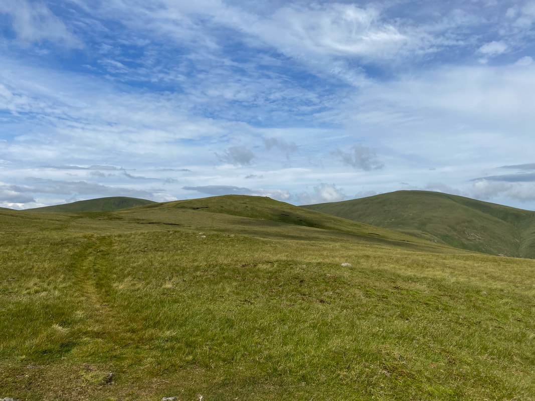
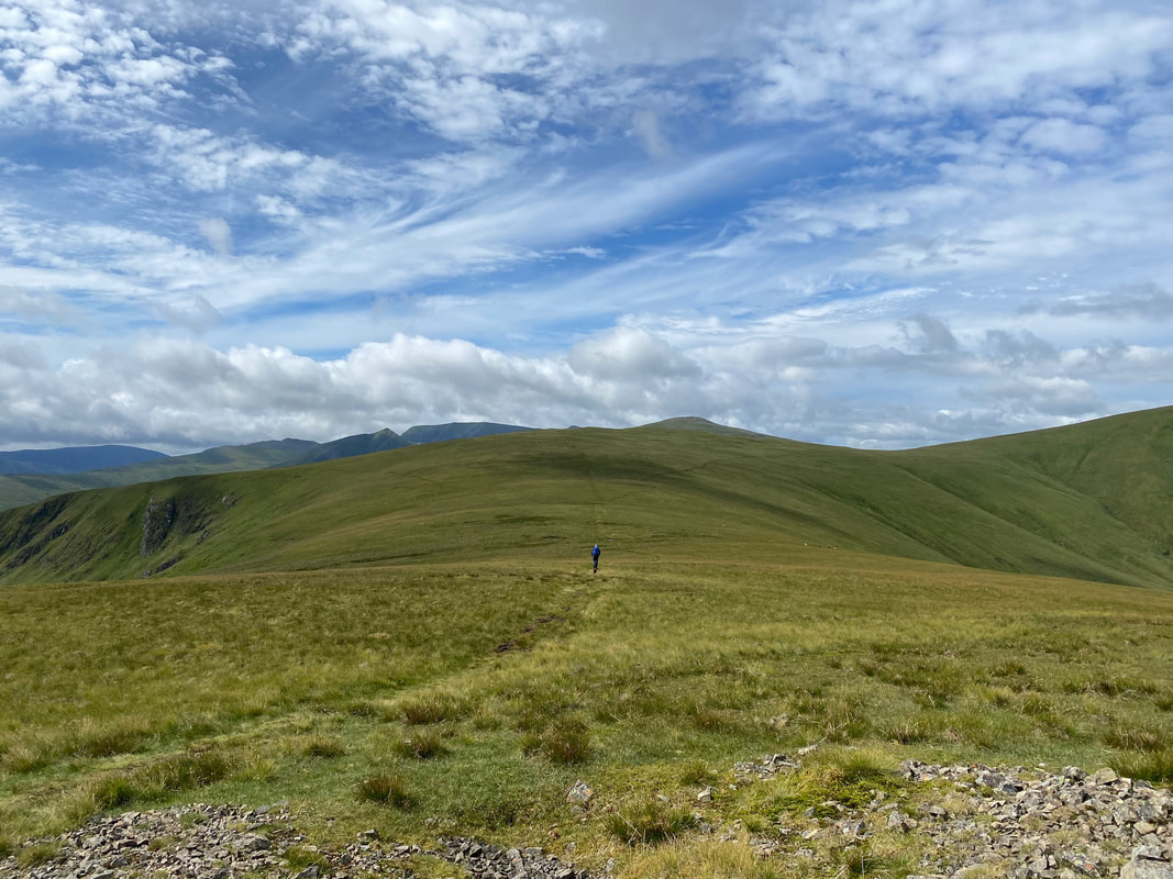
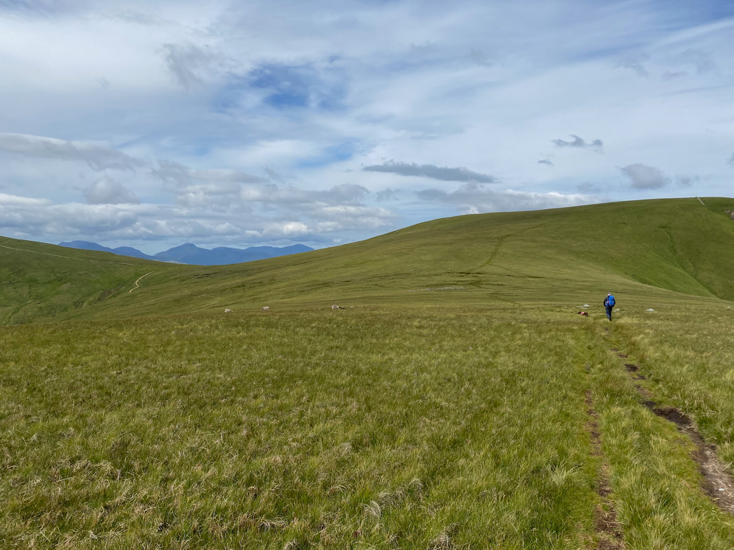
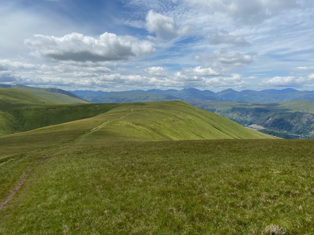
The path to Hart Side from Birkett Fell with Stybarrow Dodd left & Great Dodd to the right.
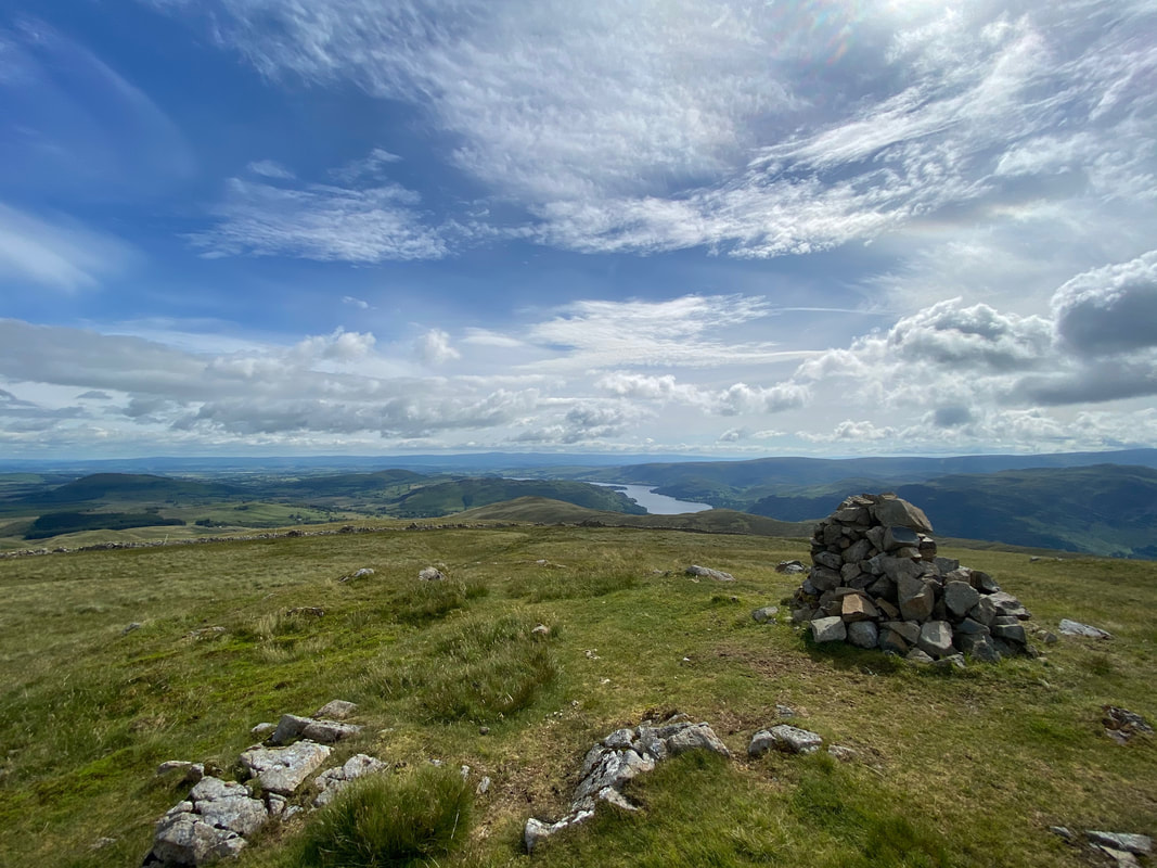
The summit of Birkett Fell looking to Ullswater
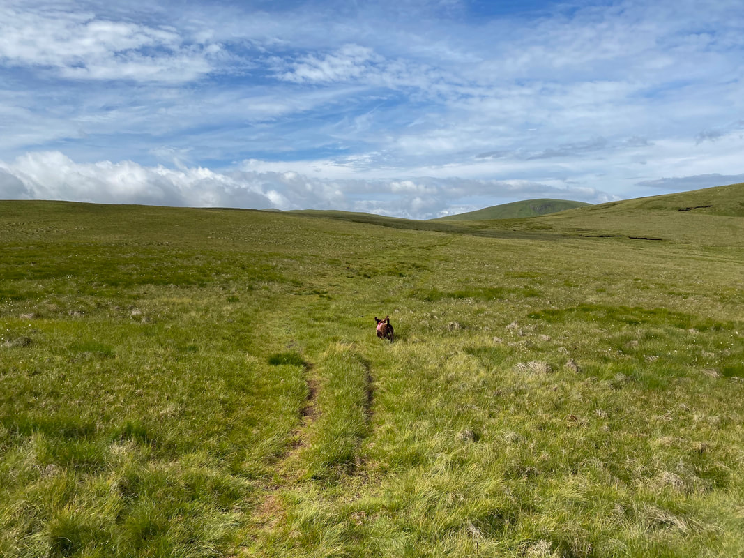
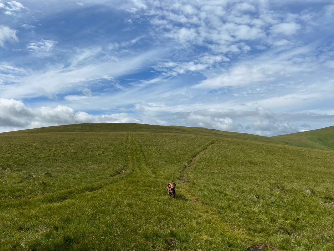
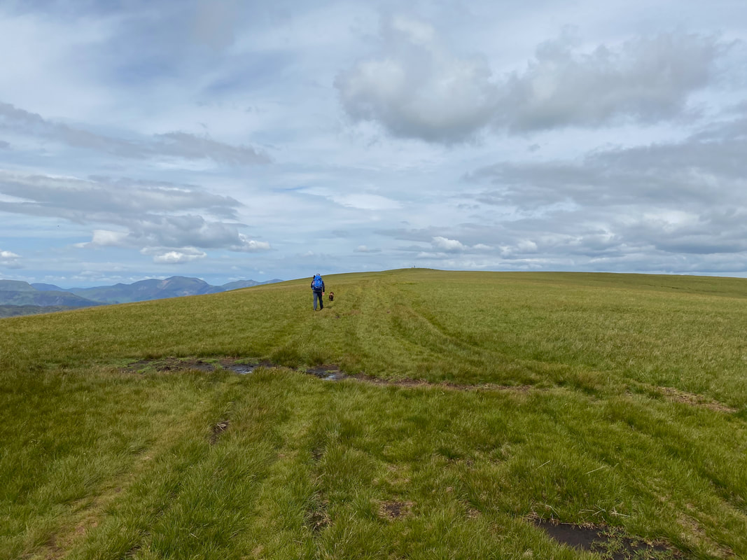
Fudge is in full flow as we leave Birkett Fell
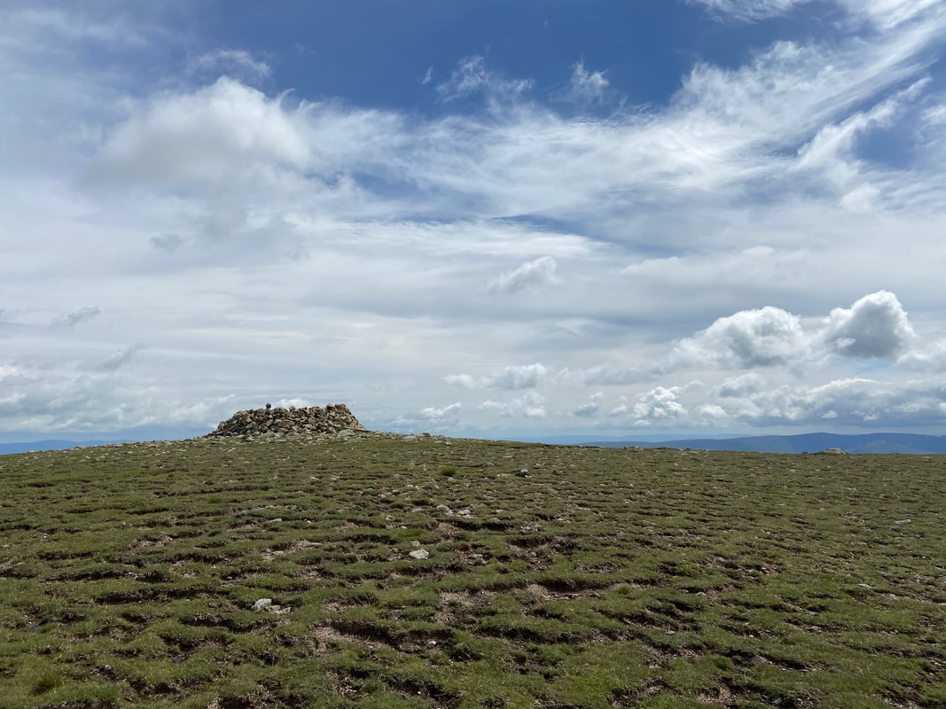
The summit of Hart Side
Leaving Hart Side for Green Side. Near the summit of Hart Side is this long trough which is thought to be a trial mine trench for the nearby Greenside Mine workings (Hart Side 6).
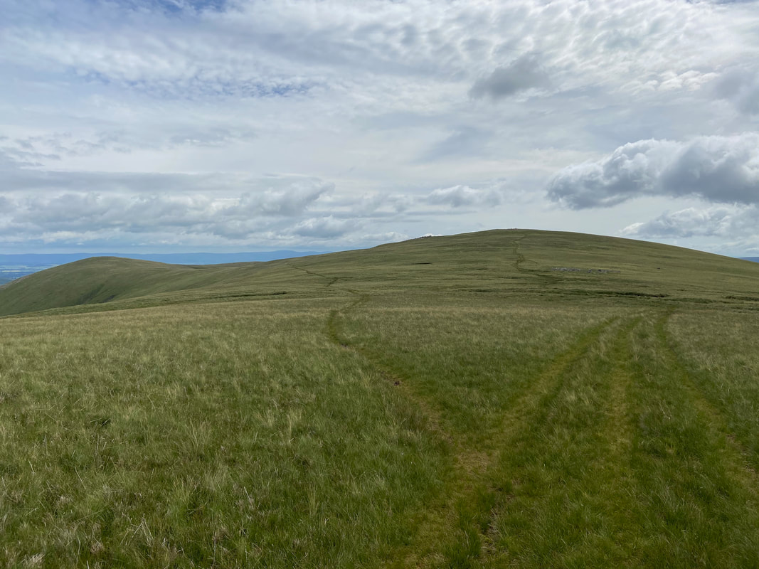
From Hart Side a grassy path heads over to Green Side. Just above my head the path splits therefore if you do not want to visit Green Side then take the right hand fork which heads for Stybarrow Dodd.
The path junction - left for Green Side & right for Stybarrow Dodd
Catstycam, Helvellyn & Raise from the summit of Green Side (White Stones)
Leaving Green Side to rejoin the Stybarrow Dodd path
Zooming in on Catstycam and its fantastic north ridge ascent with Swirral edge to the right below Helvellyn. Catstycam's north west ridge is a fantastic day out - the walk can be viewed here
The path to Stybarrow Dodd. The Sticks Pass junction is to the left in between Raise & Stybarrow Dodd. In the distance can be seen The Scafells, Lingmell, Great Gable & Pillar.
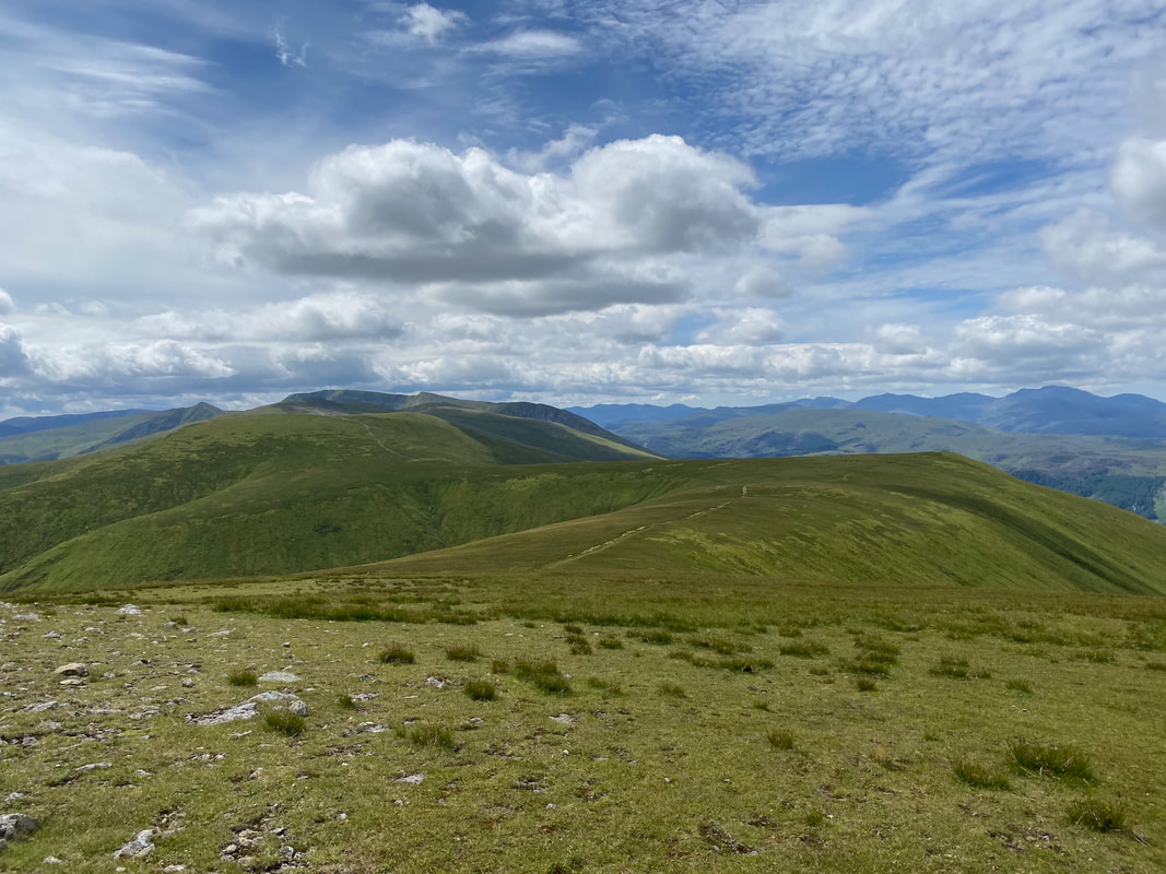
Looking back to Hart Side to the left and Green Side to the right.
Raise across the Sticks Pass - the tiny hut to the left belongs to the Lake District Ski Club wit the ski run clearly visible also
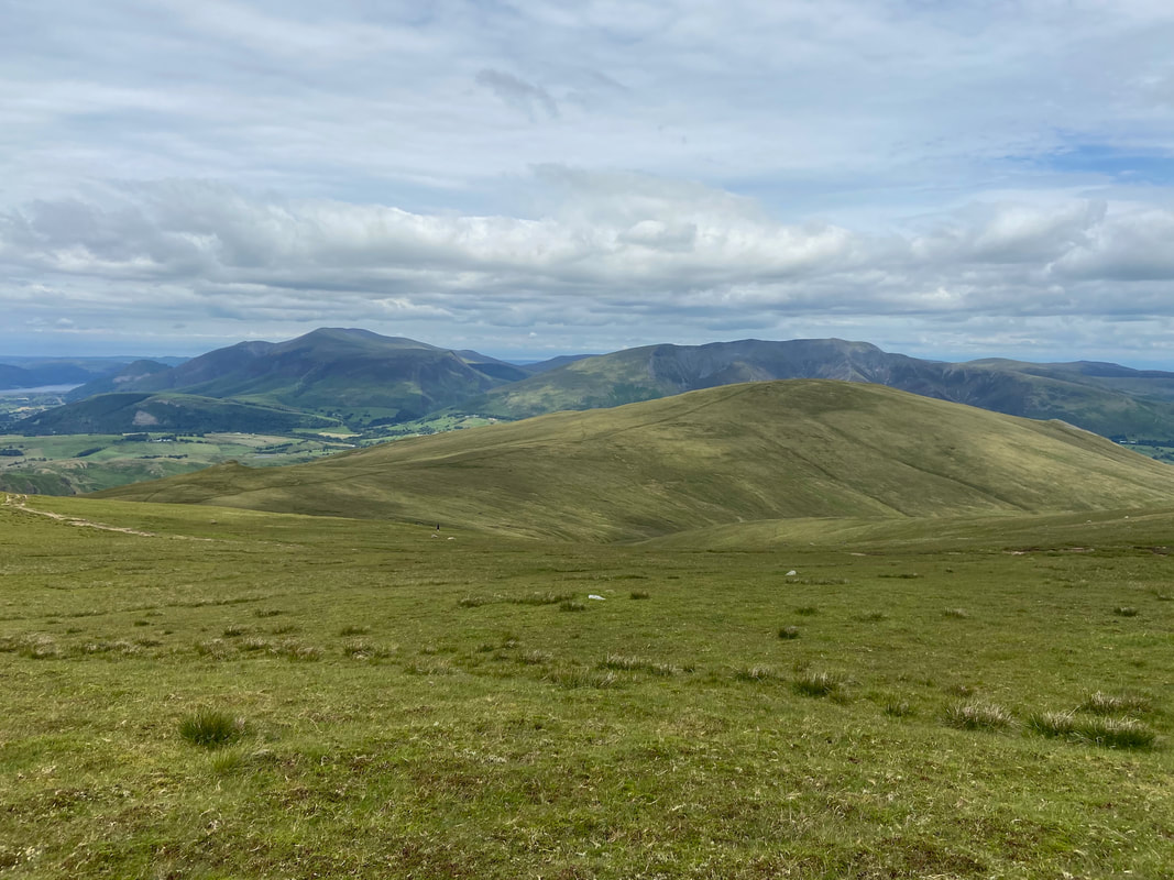
The summit of Stybarrow Dodd looking to the North Western Fells
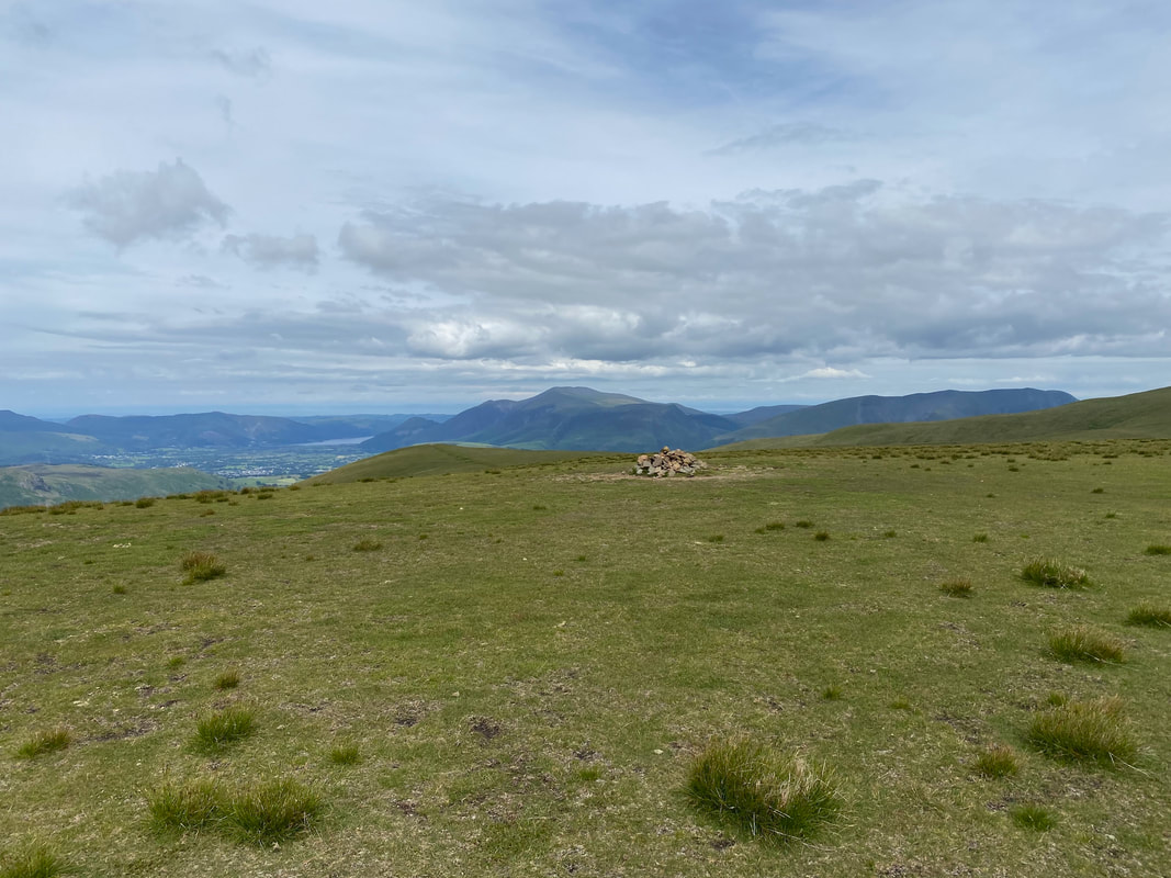
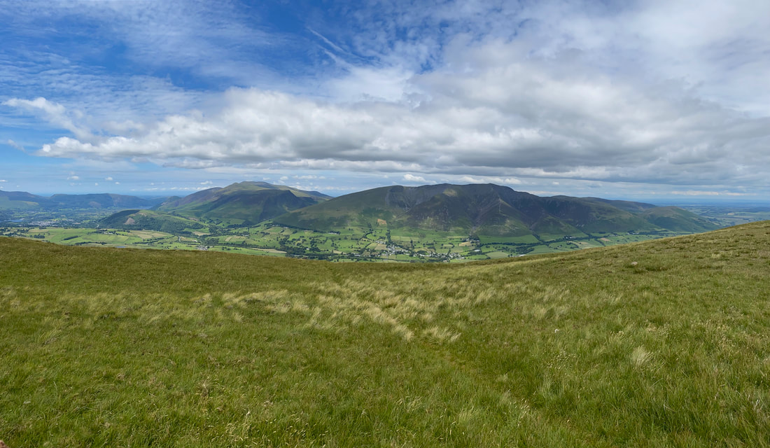
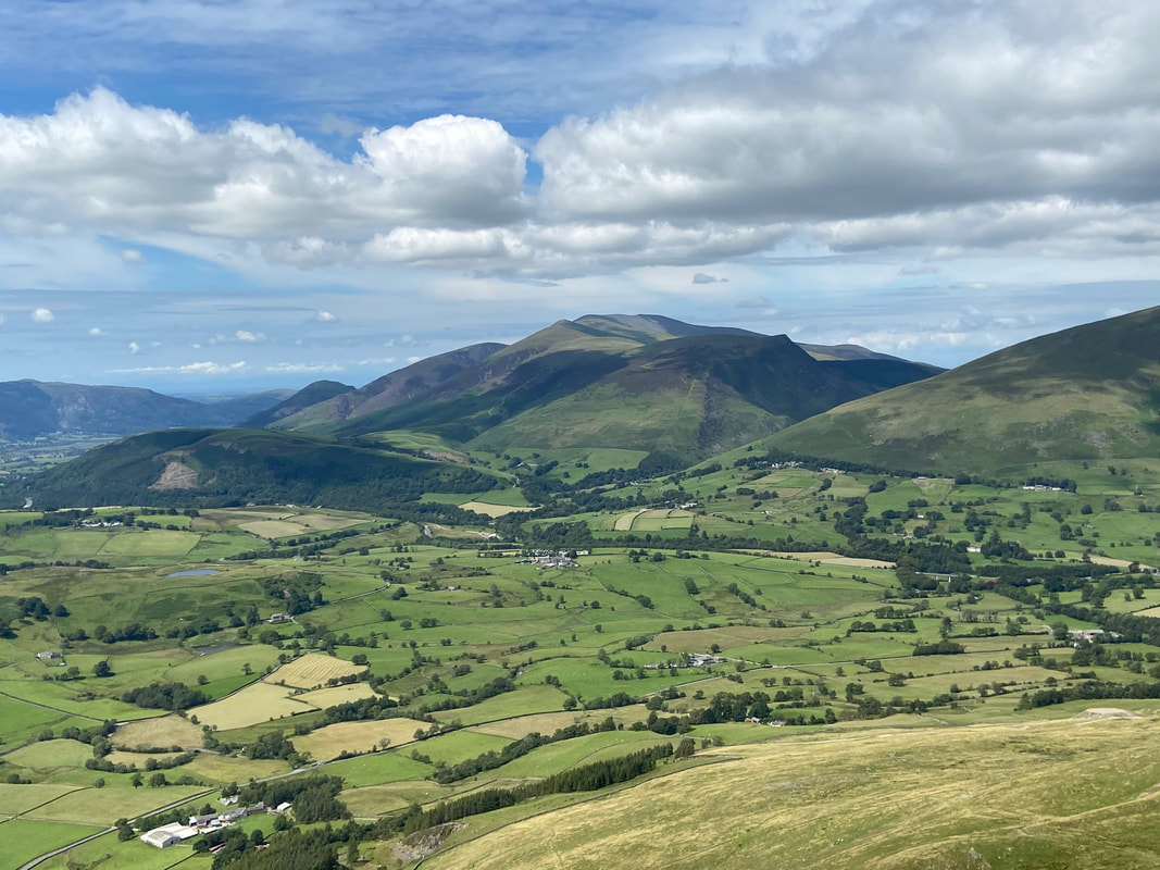
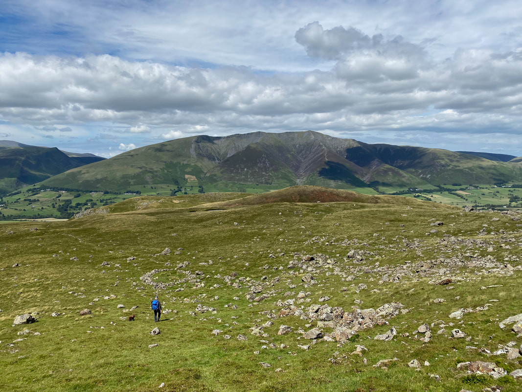
Bassenthwaite Lake, Skiddaw & Blencathra from Stybarrow Dodd
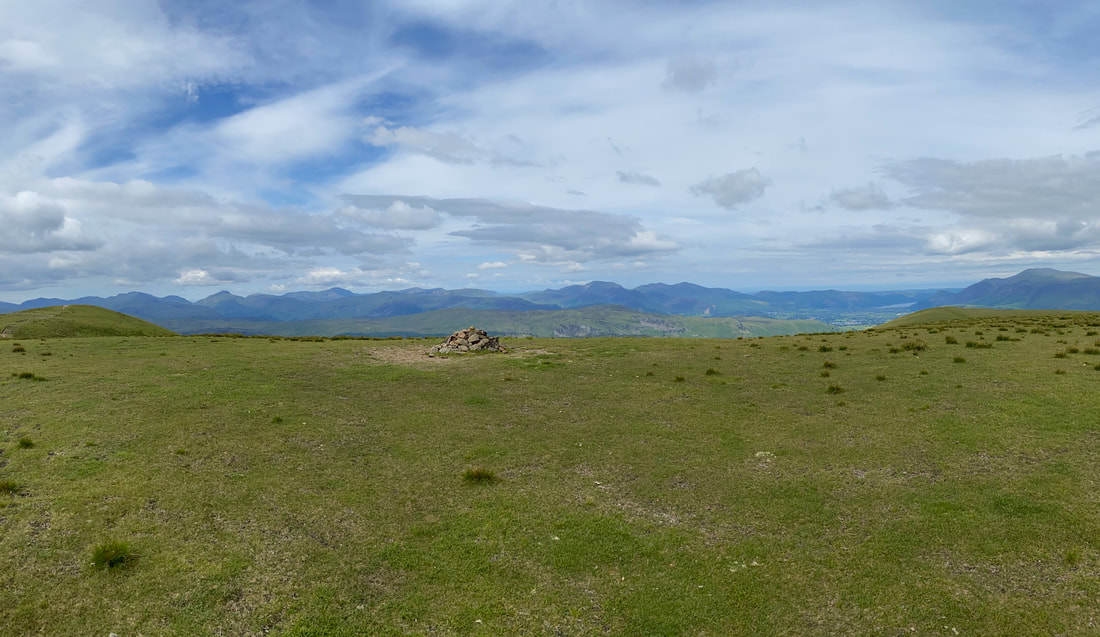
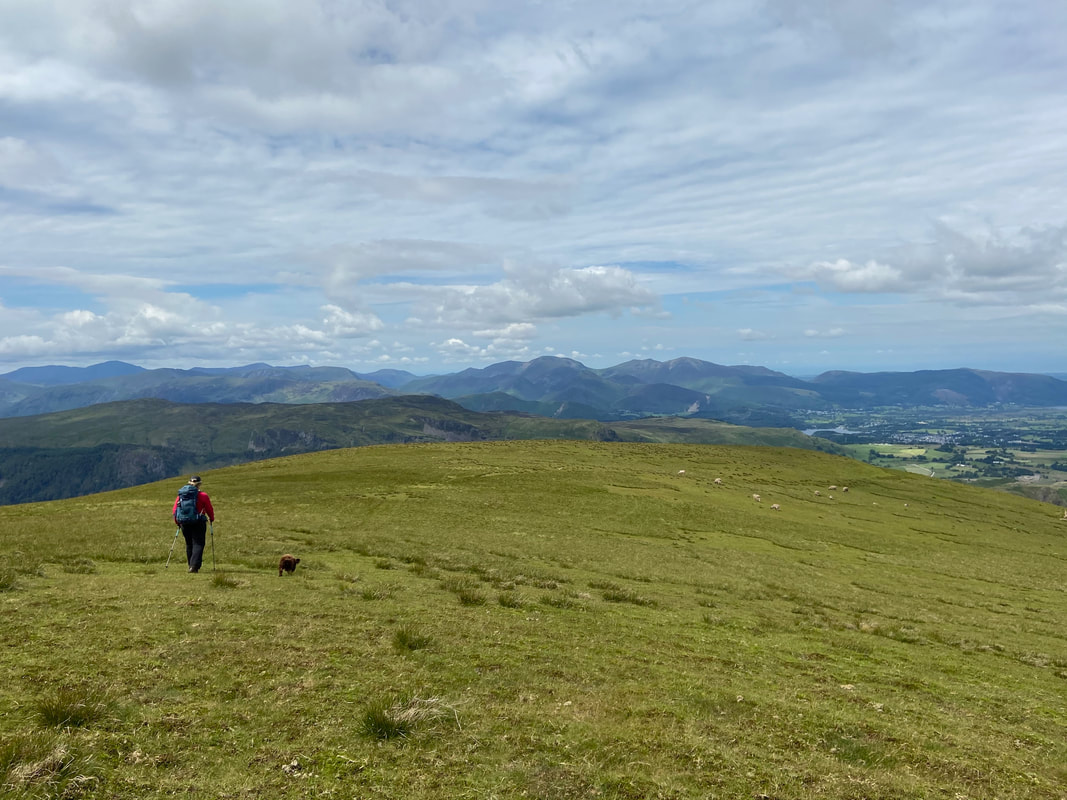
Each time we climb Stybarrow Dodd Fudge always makes for the small tarn on the summit - Great Dodd is to the right
Not bad up here today - and there is nobody else about either.
The gentle amble over level ground to Watson's Dodd
The summit of Watson's Dodd
By walking west a 100 yards or so from the summit of Watson's Dodd there is a superb view over Thirlmere
St John's in the Vale & High Rigg from Watson's Dodd
Looking to Watson's Dodd from the path to Great Dodd
On the summit of Great Dodd - looks like the shelter cairn is occupied today.
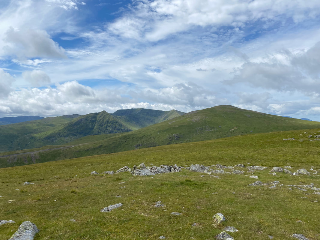
Stybarrow Dodd, the Helvellyn range & Watson's Dodd from Great Dodd
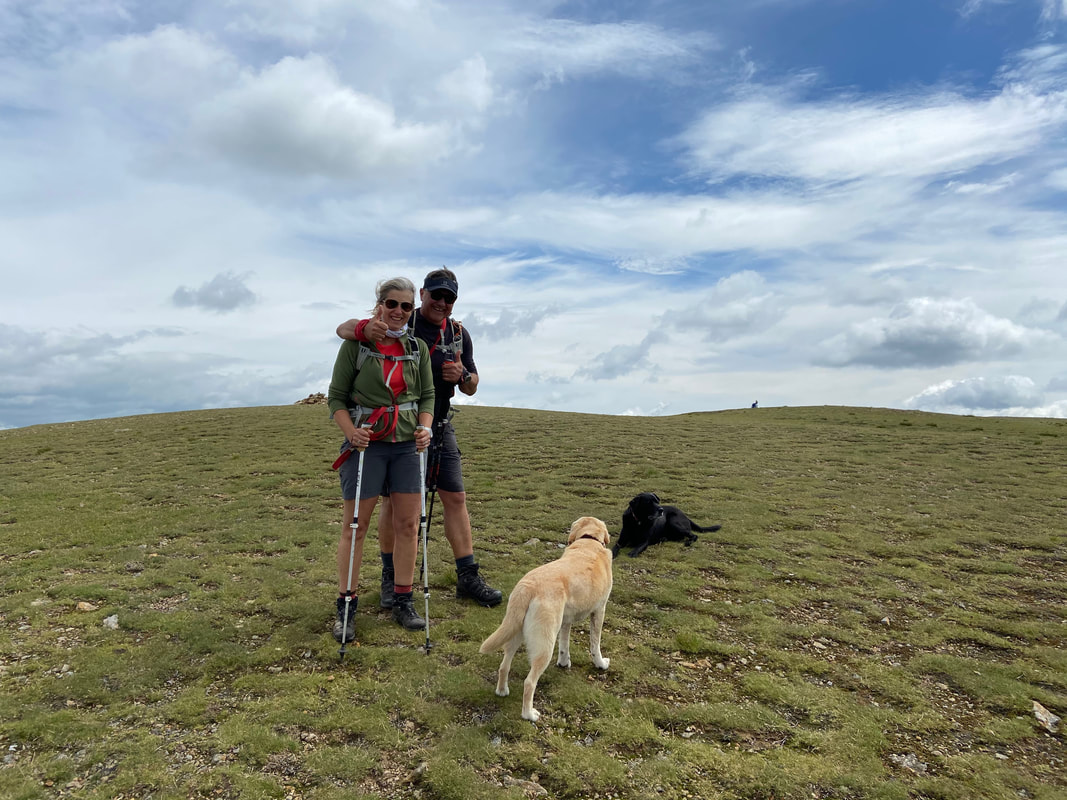
As we were leaving Great Dodd for Little Dodd Fudge was recognised by Amanda & Dave - it was lovely to have a chat with them.
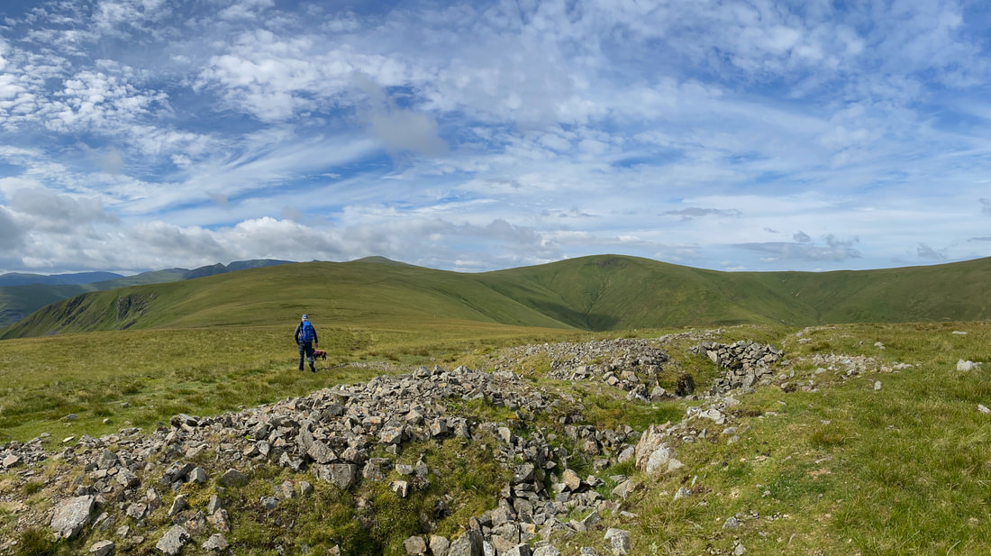
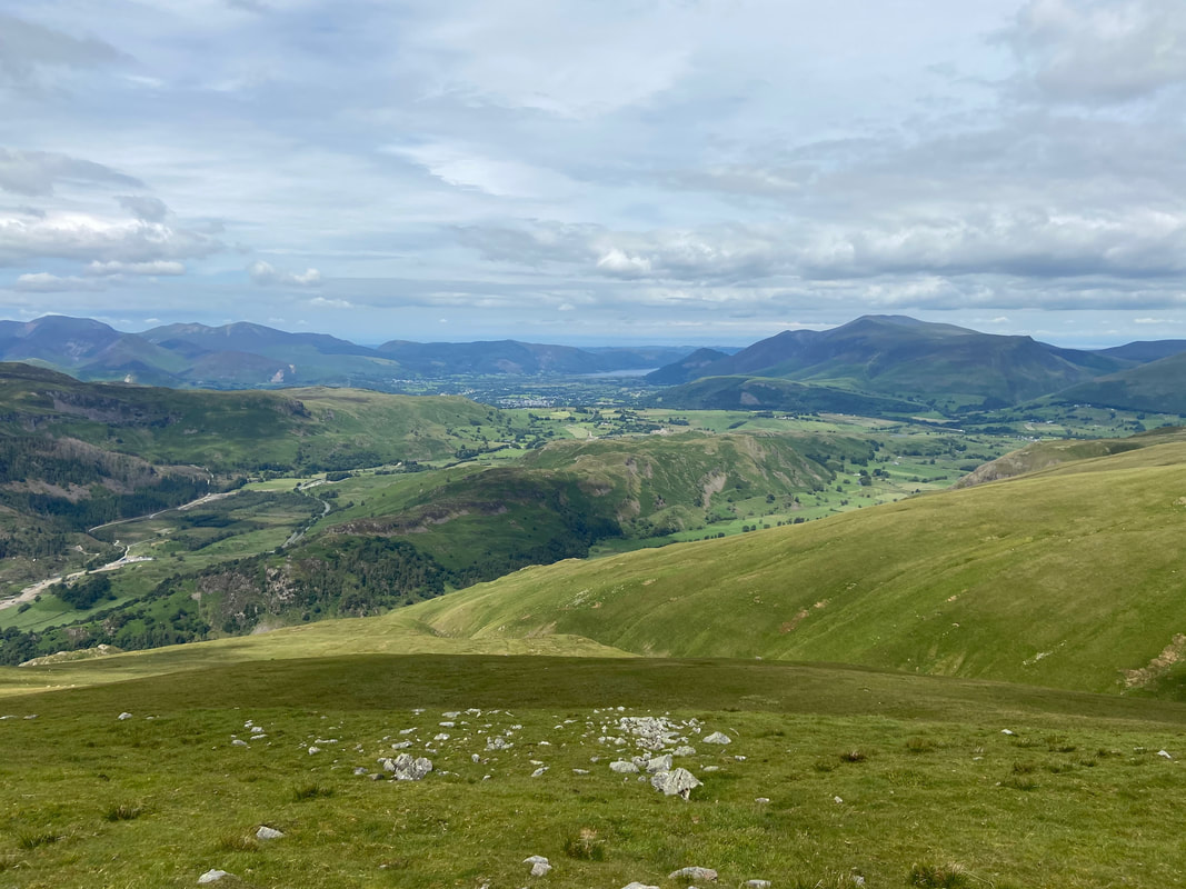
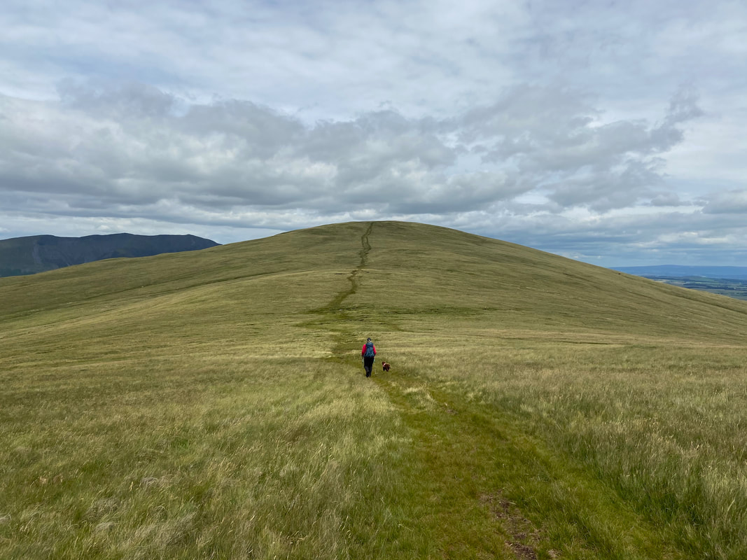
The gently rising slope to Clough Head with Skiddaw & Blencathra distant
From Great Dodd we ventured off path to drop down to Little Dodd
The summit of Little Dodd looking to Watson's Dodd
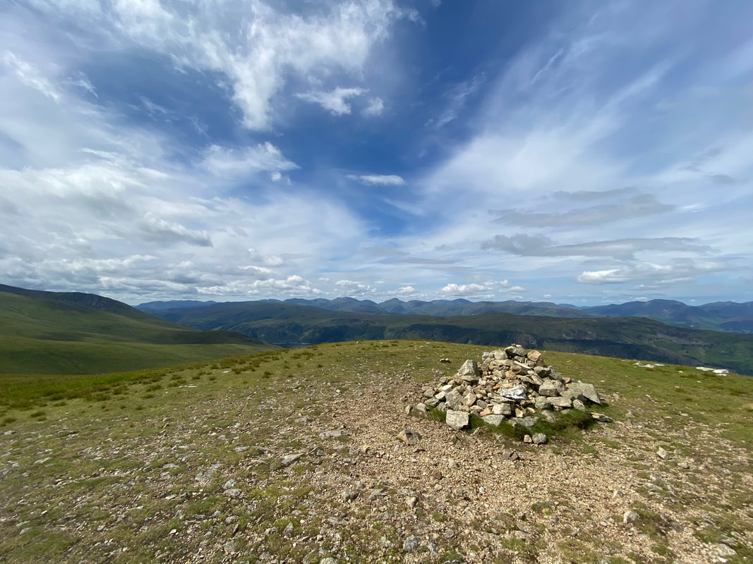
From Little Dodd we rejoined the main path before forking off left here to visit the summit of Calfhow Pike
The summit of Calfhow Pike - well worth the short detour
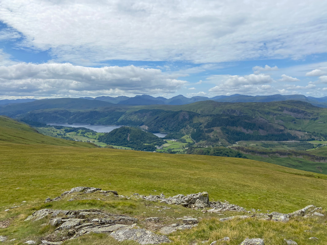
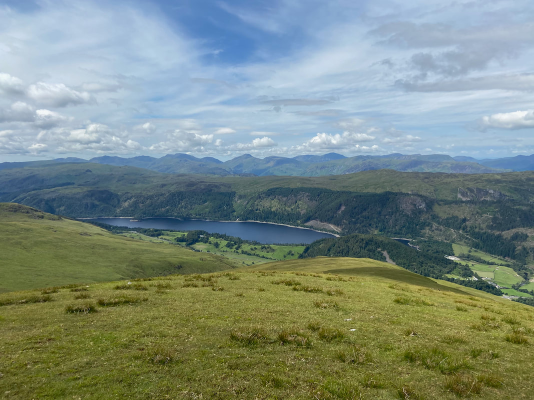
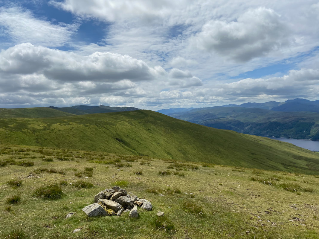
Thirlmere from Calfhow Pike
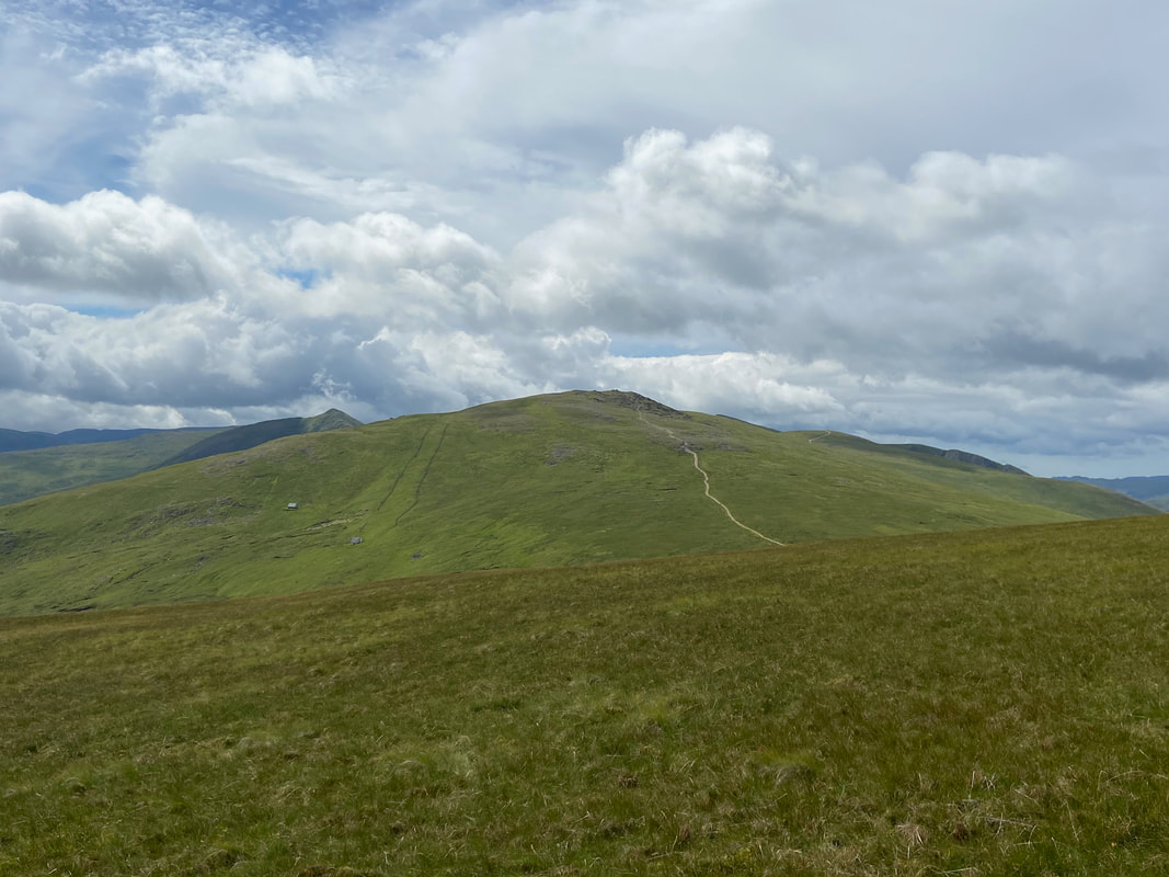
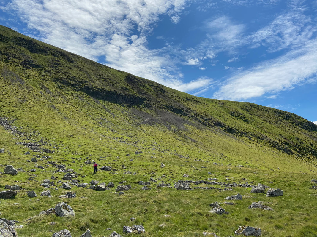
The ascent to Clough Head from Calfhow Pike
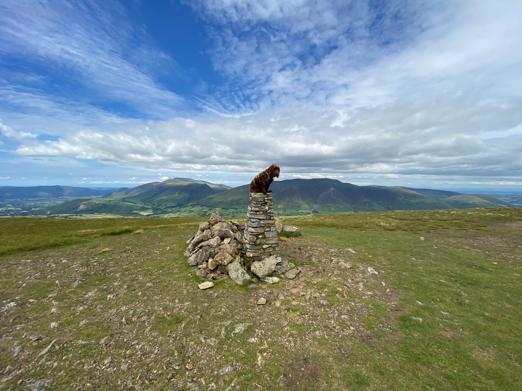
As is tradition - Fudge on the summit of Clough Head
The Trig Point on the summit of Clough Head and small shelter
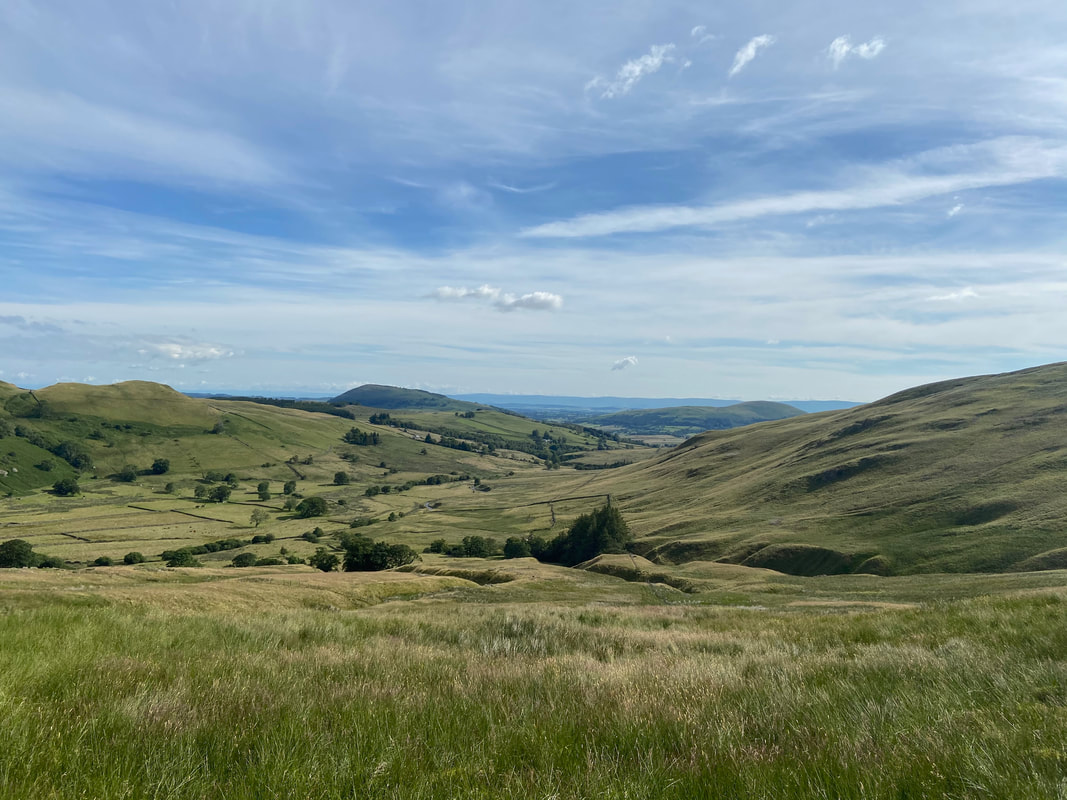
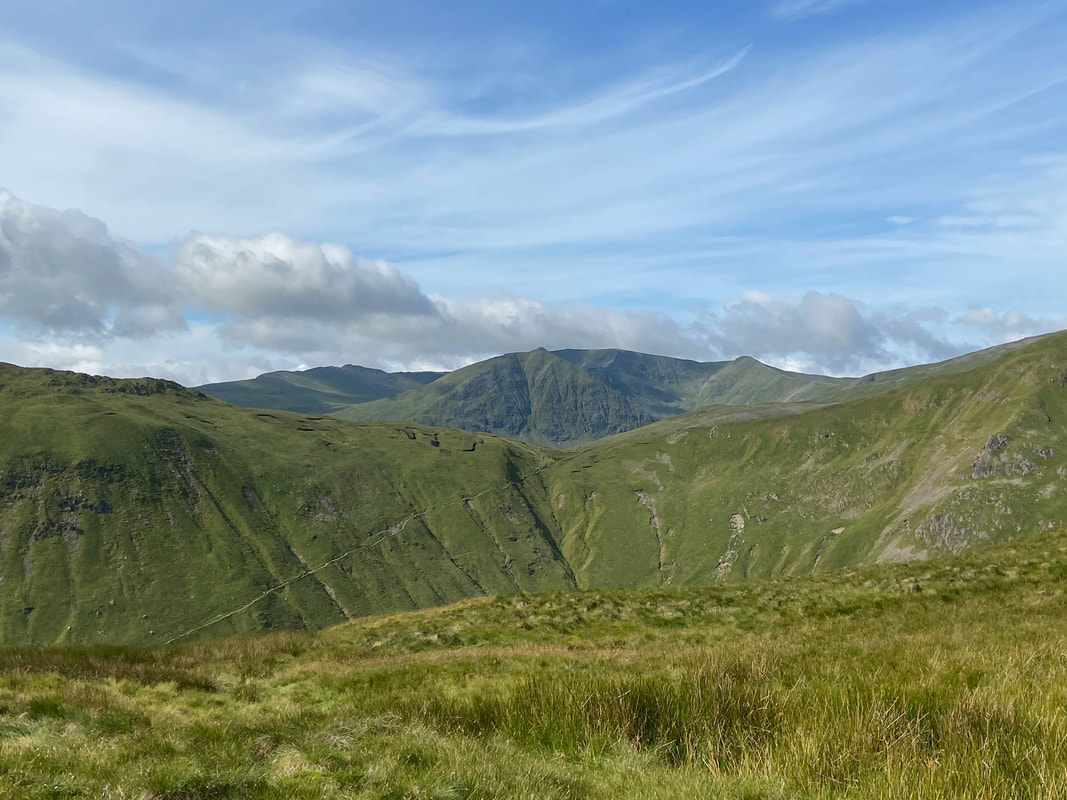
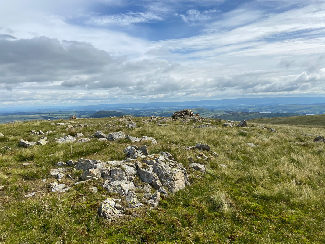
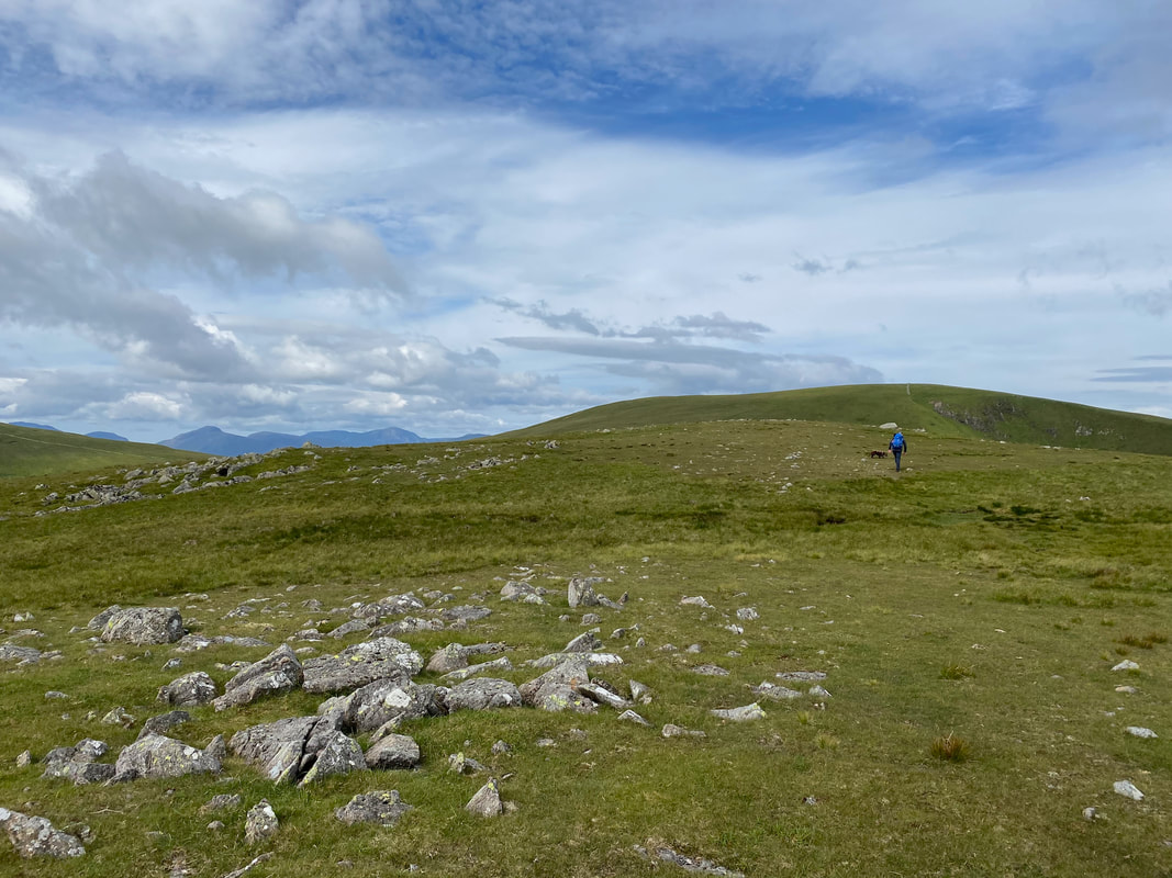
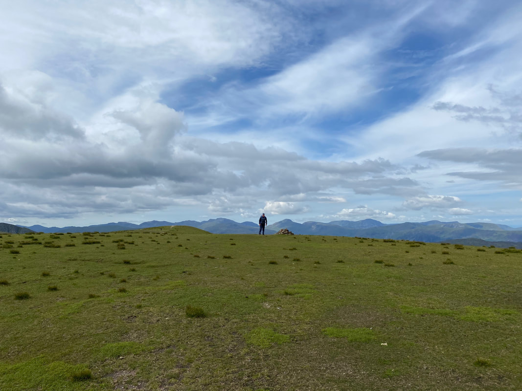
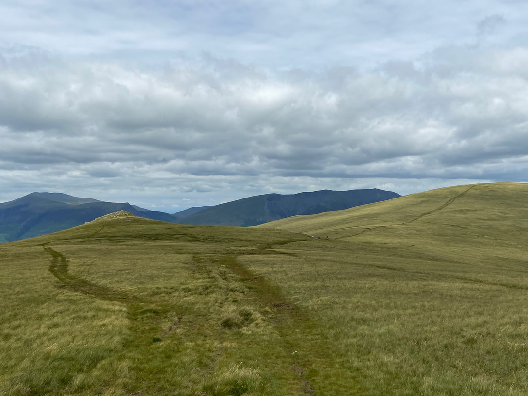
The summit of Clough Head looking to Great Dodd. From the summit there are a couple of options to consider with regard to returning to High Row & the start point. Firstly you can descend to the Old Coach Road via White Pike or, like we did today via the longer route over Threlkeld Knotts. Both routes join the Old Coach Road within 1/2 a mile of each other.
Threlkeld, Skiddaw & Blencathra from Clough Head
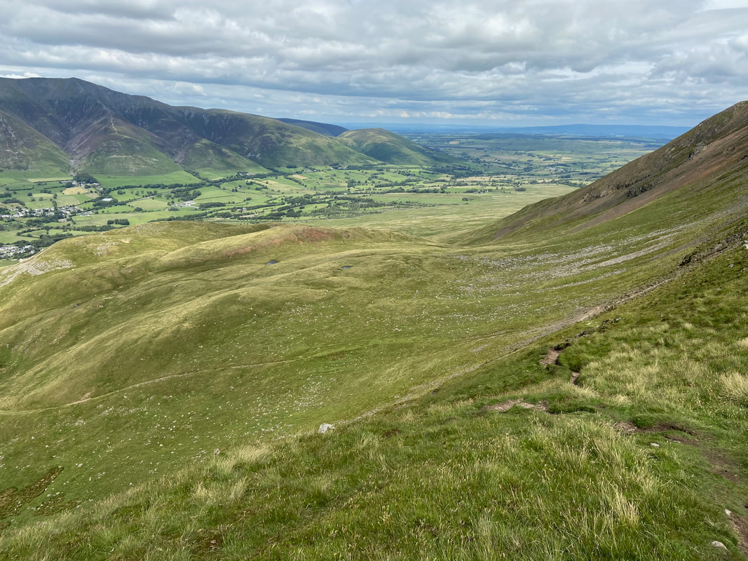
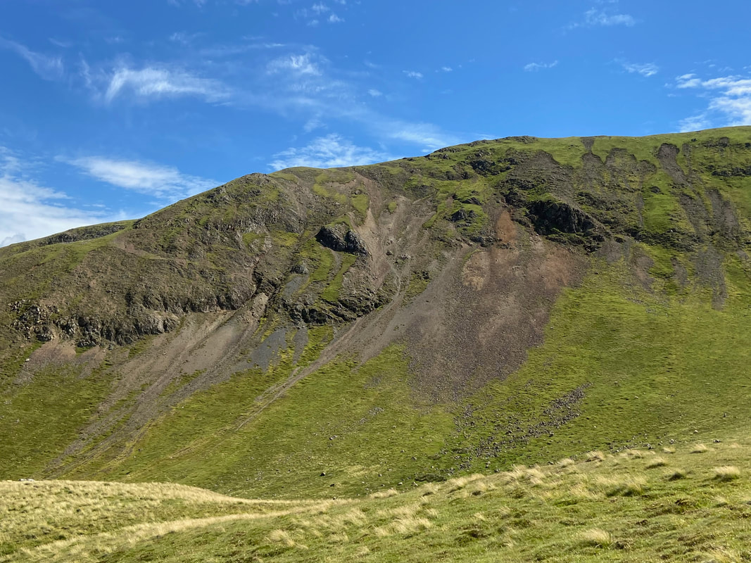
Below Clough Head heading for Threlkeld Knotts which is over to the left. The path heads across the flank of Clough Head before swinging left over the stony ground beyond the path in the foreground which leads down to Wanthwaite.
Another glorious view of St John's in the Vale and over to Skiddaw
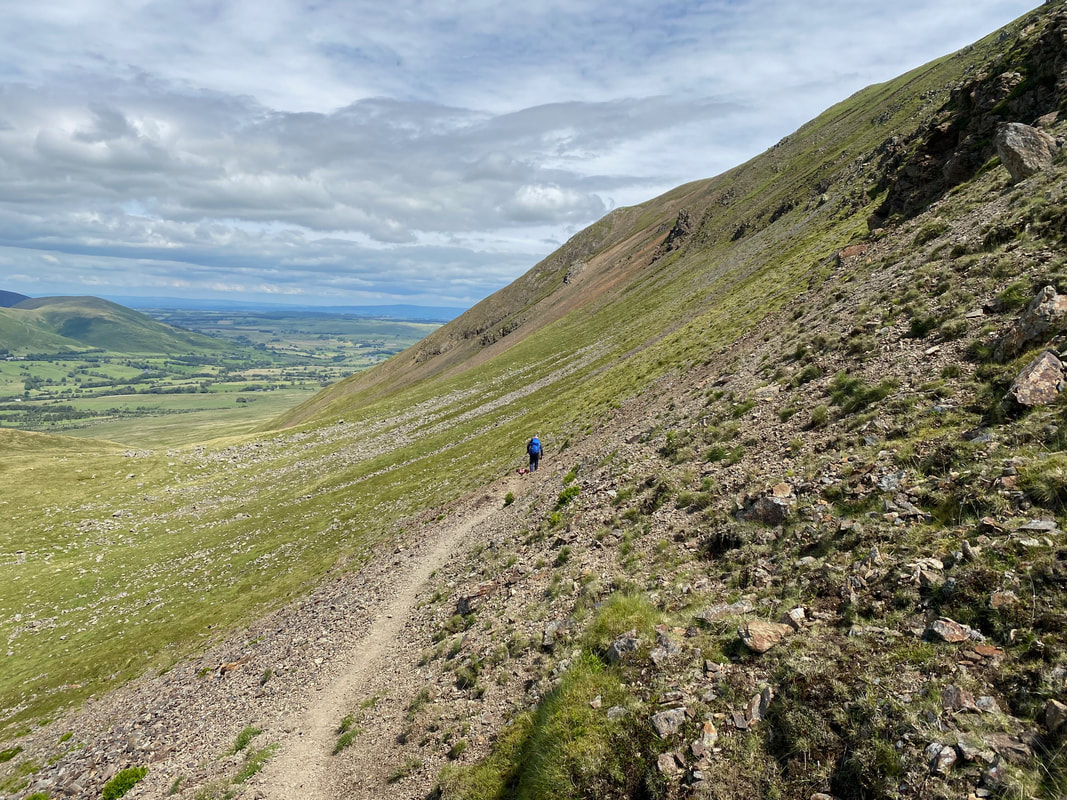
I am roughly at the point now where the path swings left to head over to Threlkeld Knotts
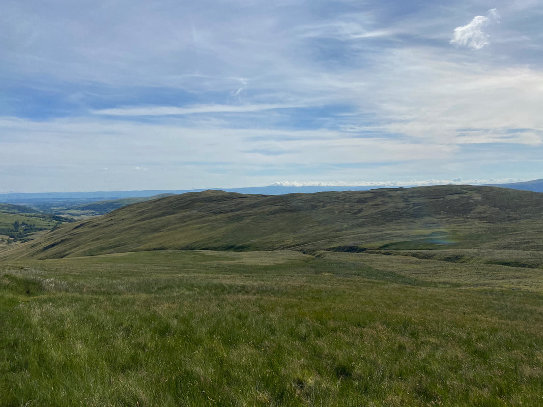
The path over to Threlkeld Knotts is fairly indistinct in part but the terrain is easy going.
Looking back up to the path coming down from Clough Head - this is a really good section of the walk
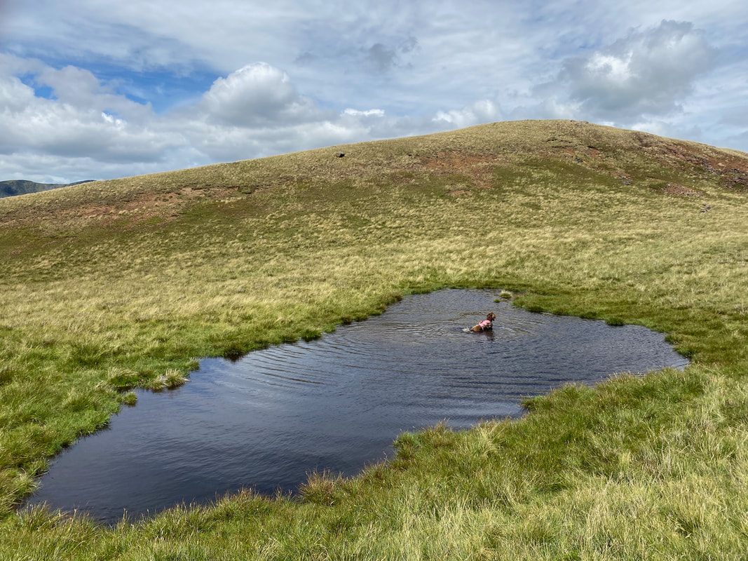
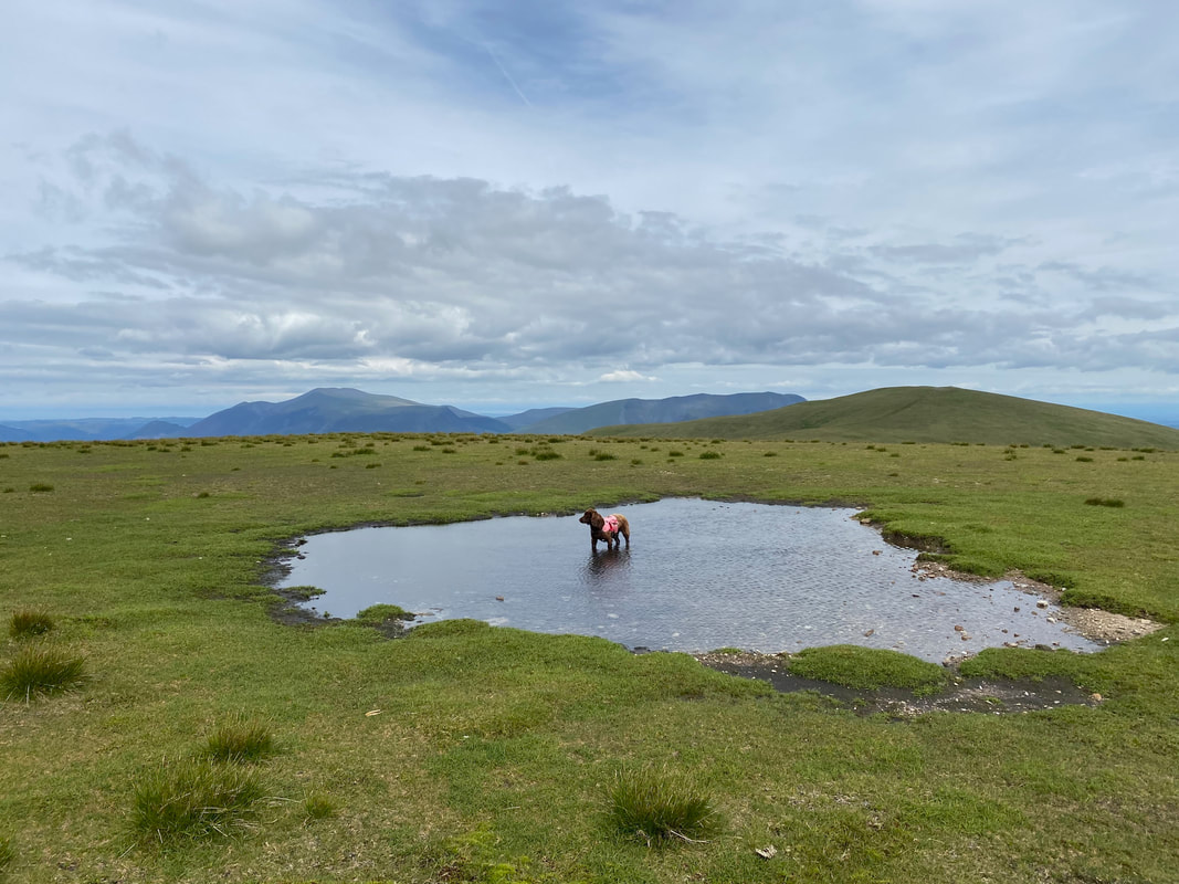
The small unnamed tarn below Threlkeld Knotts - another swimming pool for the little chap
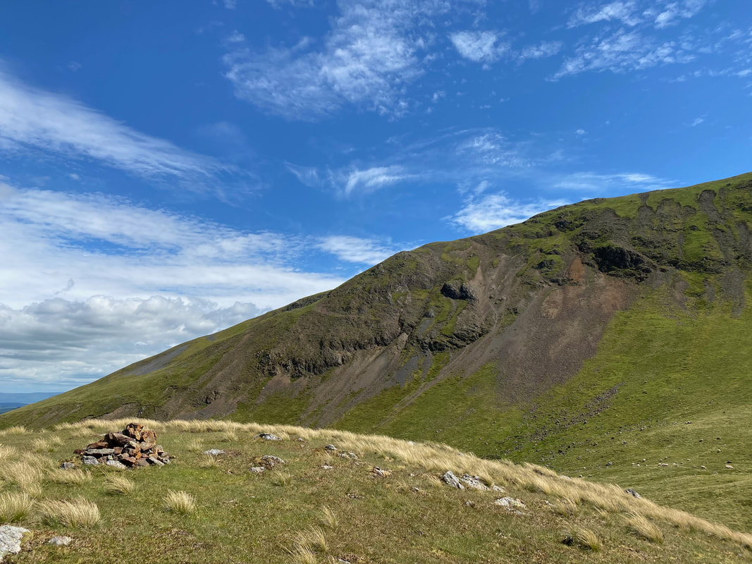
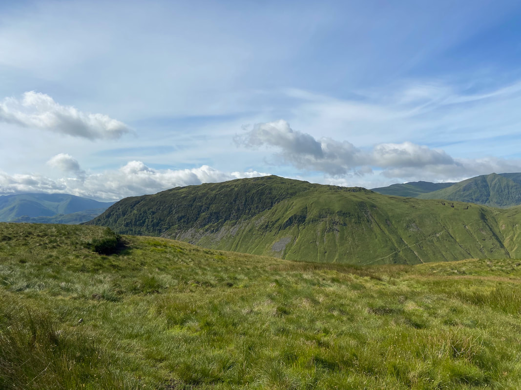
The summit of Threlkeld Knotts looking to Red Screes below Clough Head
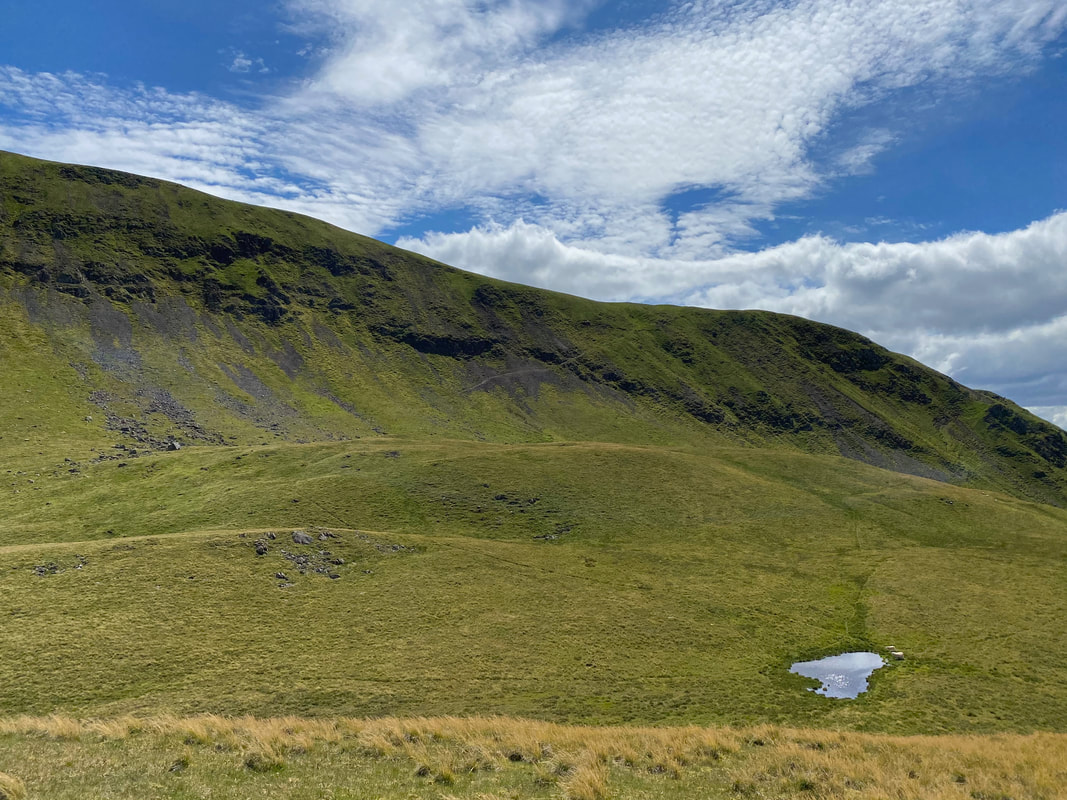
Looking back to our route of descent from Clough Head
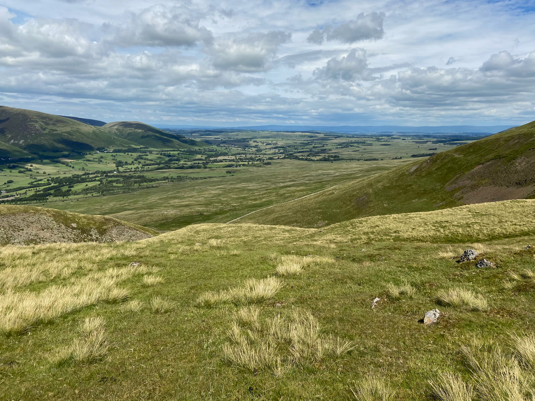
From Threlkeld Knotts the Old Coach Road can be seen below - this descent is over rough ground but is not overly difficult. By this time the Sausage Sarnies had done their bit and we were both hungry again. I wonder what we are having for our late lunch?
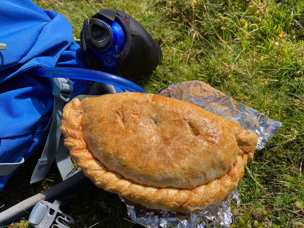
A Janner's Mouth Organ - and very nice it was too
Another look at Red Screes below Clough Head
Nearing the Old Coach Road - just a question of making the best way down over easy terrain.
I never tire of looking at Blencathra from here - such an iconic mountain
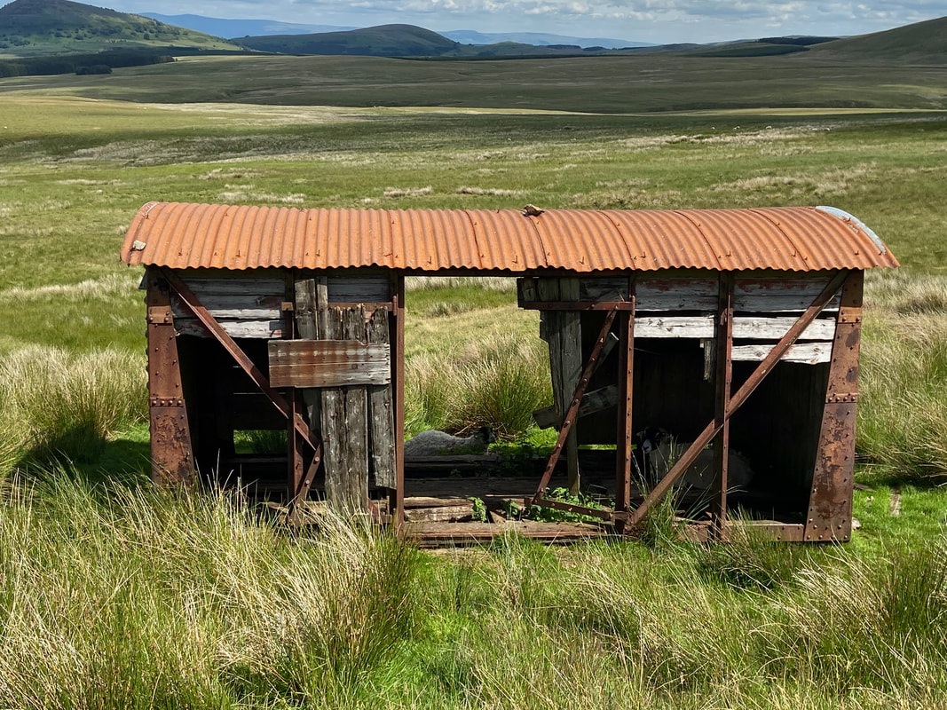
About 1/2 a mile from our arrival point on the Old Coach Road is this old shed which today was occupied by a couple of the locals. This shed is the point at which the path coming down from White Pike joins the Old Coach Road and can be found at Grid Reference NY 3413 2346.
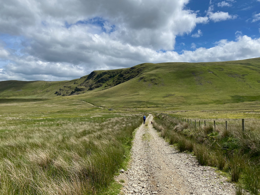
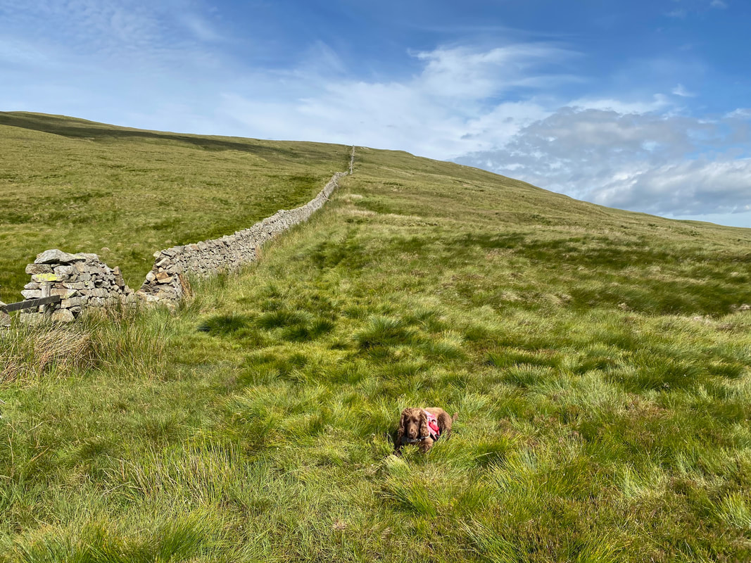
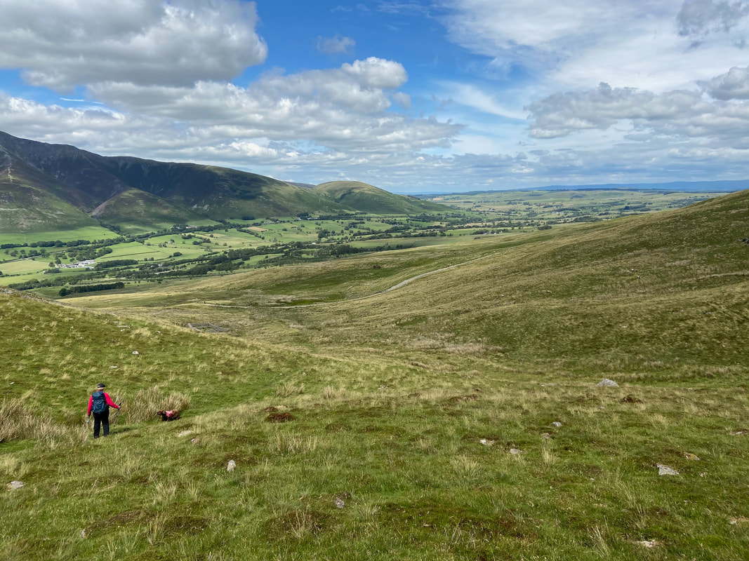
And so it begins - the long but very enjoyable walk along the Old Coach Road which will lead us back to the start at High Row. From Hausewell Brow to High Row is a distance of just over 3 and a half miles. In the distance are Wolf Crags and Mariel Bridge.
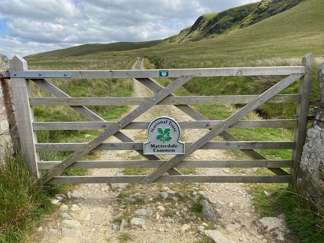
The route passes through a gate leading on to Matterdale Common
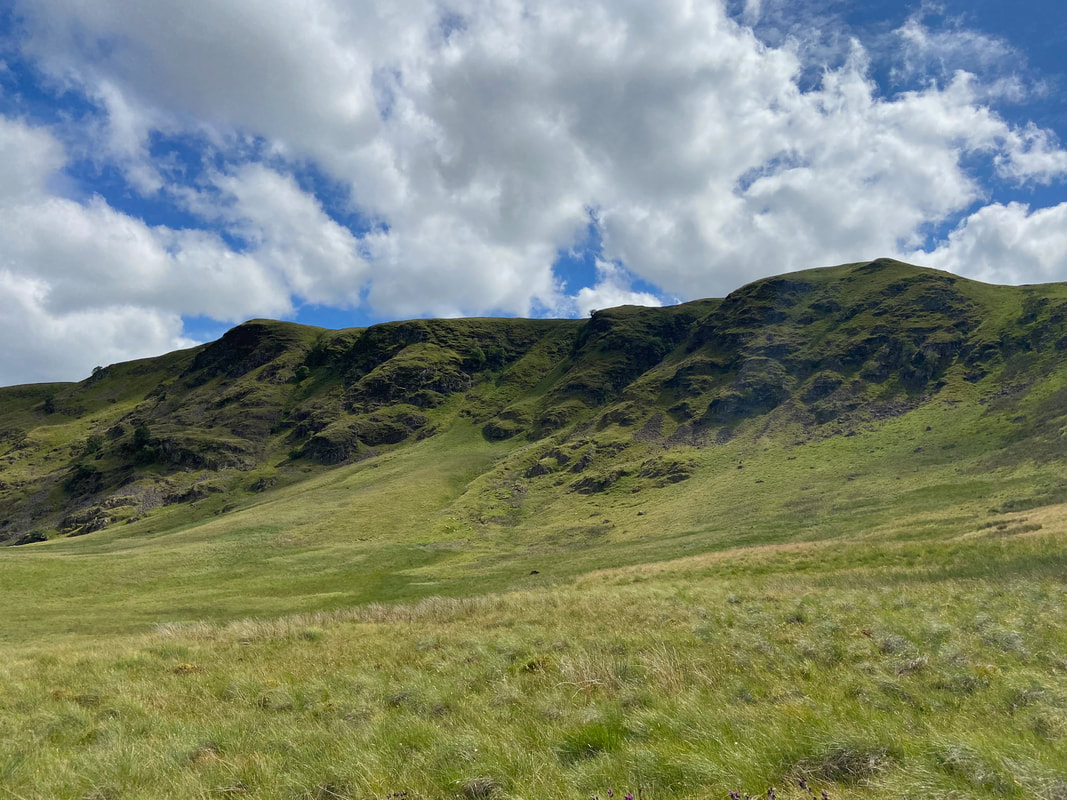
Wolf Crags
A last look back at Clough Head
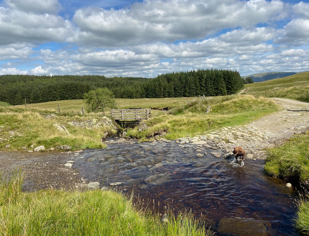
Groove Beck and a chance to give Fudge a wash off before our arrival back at High Row. What a cracking day out that was.