Nab Scar, Heron Pike, Great Rigg & Stone Arthur - Friday 6 January 2023
Route
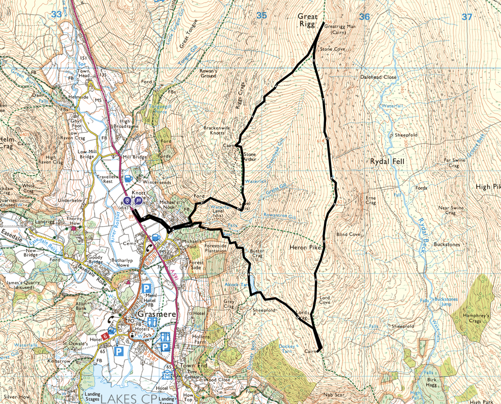
Grasmere - Greenhead Gill - Alcock Tarn - Lords Crag - Nab Scar - Heron Pike - Heron Pike North Top - Great Rigg - Stone Arthur - Greenhead Gill - Grasmere
Parking
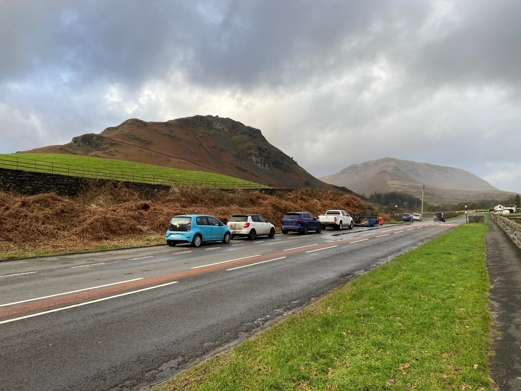
There are many places to park in Grasmere, mostly Pay & Display. Free parking is to be had in a few lay-bys on the A591. For today's walk we parked in the large lay-by south of The Travellers Rest pub at Grid Reference NY 33742 08609. The nearest postcode is LA22 9RG.
Mileage
7 miles
Terrain
Good mountain paths throughout
Weather
Overcast with strong winds
Time Taken
4hrs 35mins
Total Ascent
2349ft (716m)
Wainwrights
4
Map
OL5 - The English Lakes - North Eastern Area
Walkers
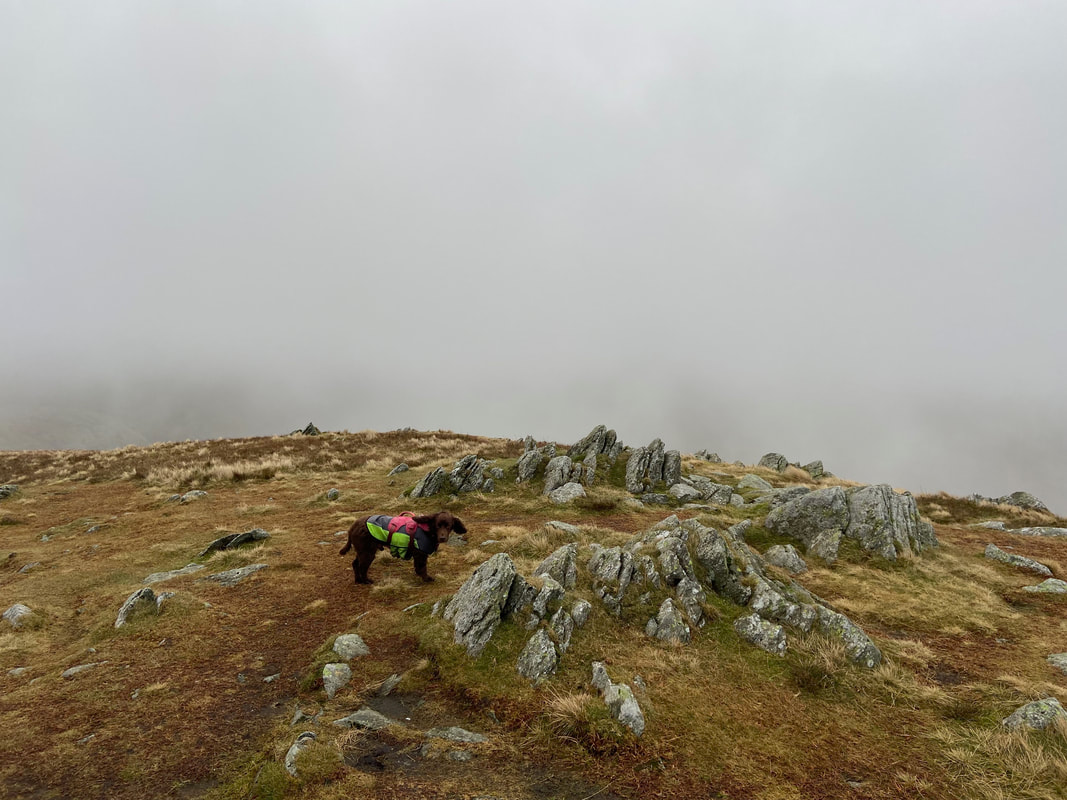
Dave, Angie & Fudge with Rob Newby & Rufus
|
GPX File
|
| ||
If the above GPX file fails to download or presents itself as an XML file once downloaded then please feel free to contact me and I will send you the GPX file via e-mail.
Route Map
The A591 verge parking area on the outskirts of Grasmere with Helm Crag rising above and Steel Fell over to the right. As the parking is free, the lay-by fills up very quickly at weekends therefore best be early unless you want to get fleeced in Grasmere. The Travellers Rest pub can be seen up on the right and you can also park there all day for £5 - just pop in the pub and let them know.
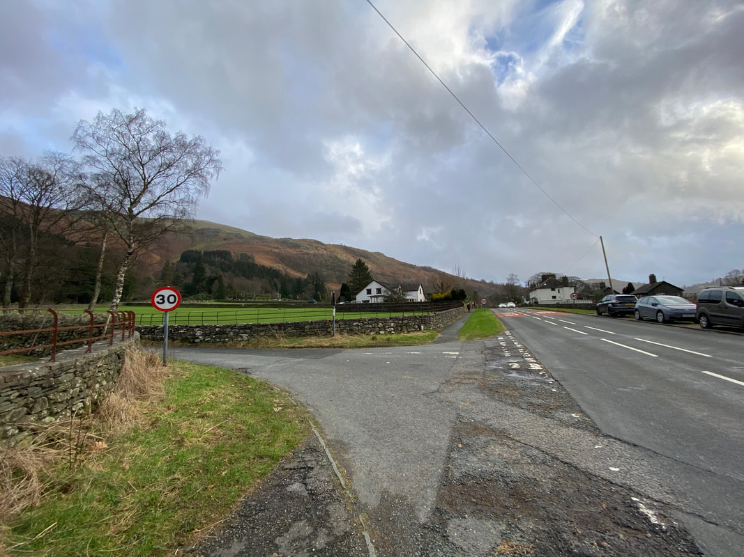
From the lay-by we crossed the A591 and proceeded up a lane in the direction of Knott House Farm
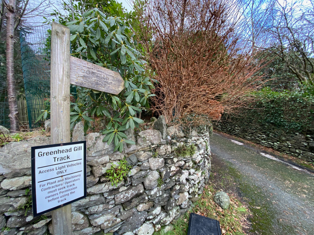
Approximately a 1/4 of a mile along the lane, a waymarked sign on the left points the way up a narrow lane to Greenhead Gill & Alcock Tarn
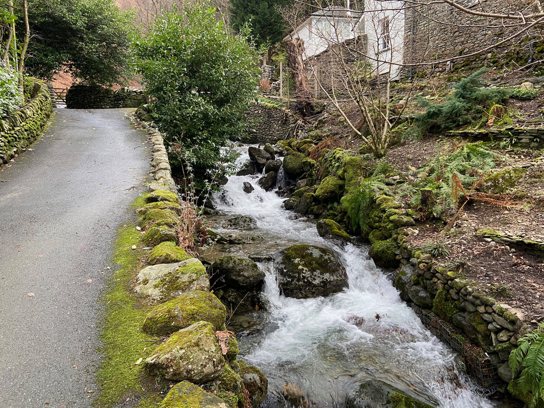
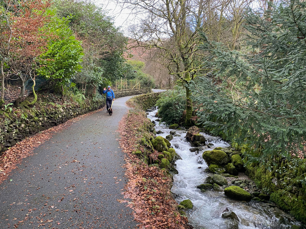
The narrow lane continues gently uphill to the left of Greenhead Gill
Greenhead Gill in full flow (Click Play to view)
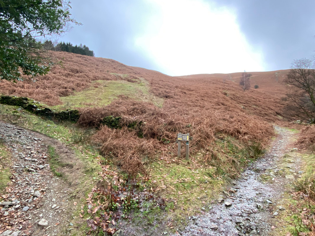
At the top of the narrow lane a gate leads to a path junction at Grid Reference NY 343 085. The right hand path heads to Alcock Tarn which is the way we were heading today. The path on the left is for Stone Arthur and would be our return route.
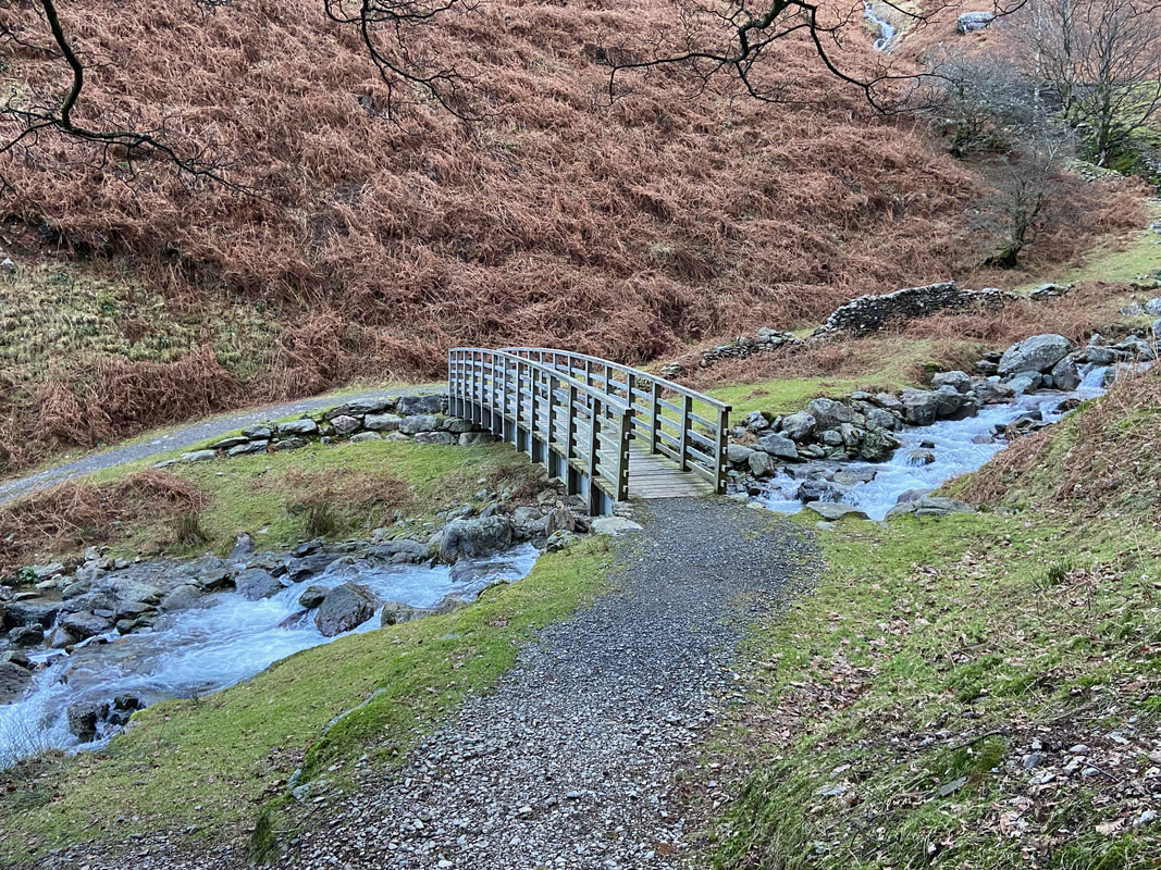
The bridge over Greenhead Gill
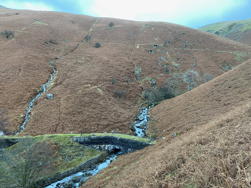
The Thirlmere Aqueduct over Greenhead Gill - there is no access to the aqueduct as it is gated either side however no one has told the sheep.
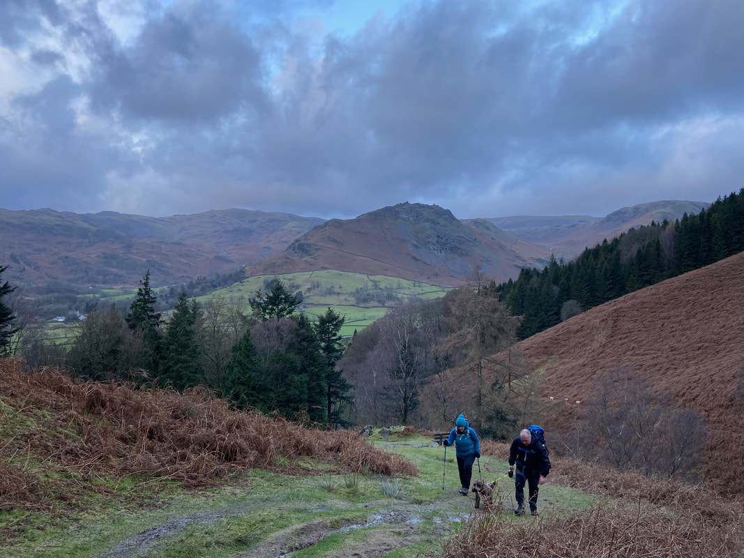
Helm Crag provides an excellent backdrop as we start the climb to Alcock Tarn
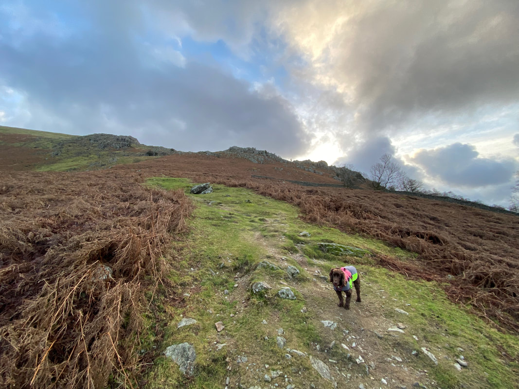
Fudge waits impatiently for me as we approach Butter Crag
As we gain height Stone Arthur comes into view
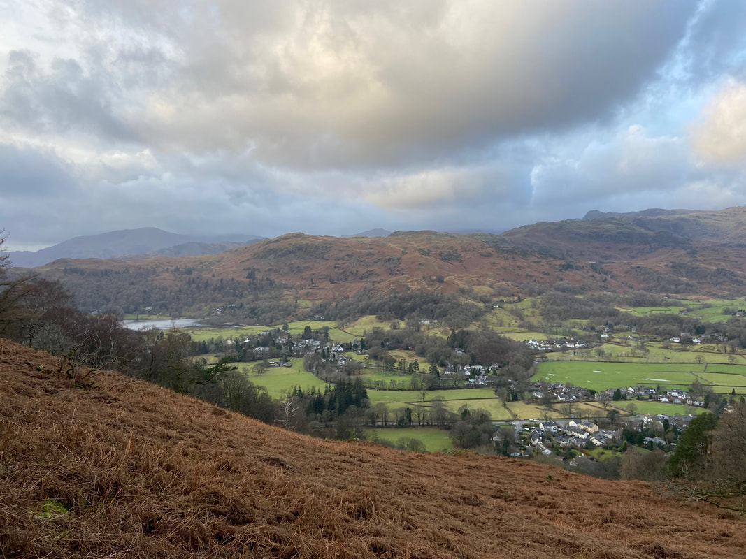
A murky Grasmere from the approach to Butter Crag
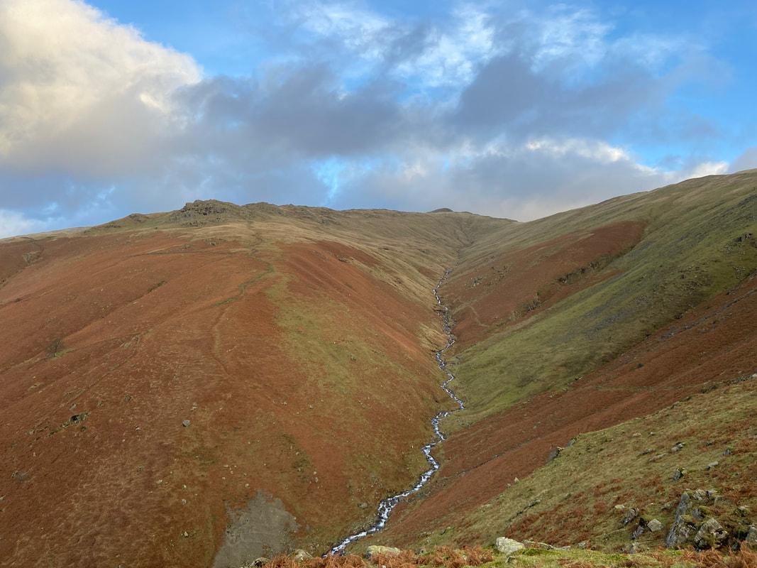
Greenhead Gill with Stone Arthur left and Great Rigg centre
At the top of the climb a gate is reached which gives access to Alcock Tarn
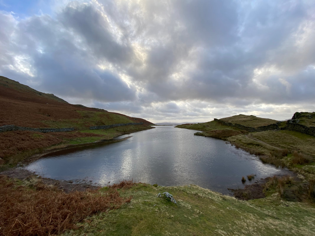
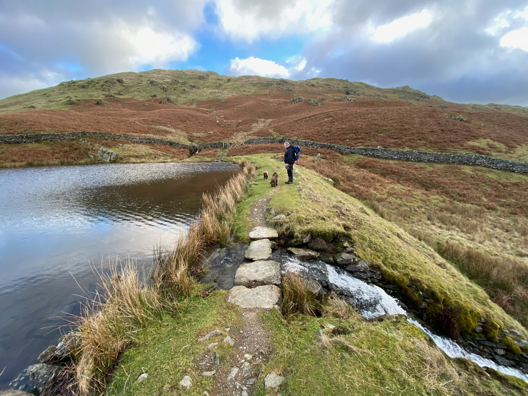
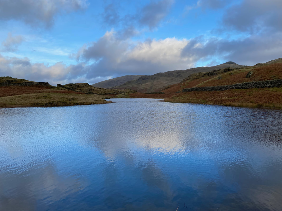
Alcock Tarn - this really is a lovely spot and we had it to ourselves today
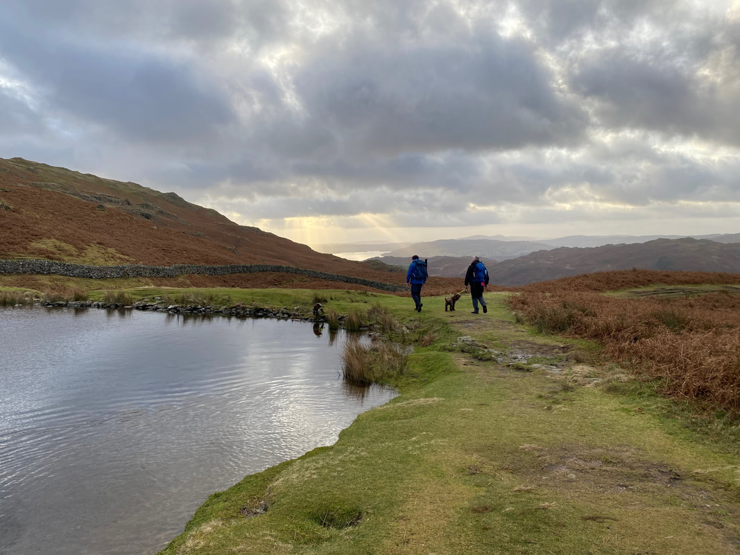
The path heads around the western edge (right hand side) of the tarn
At the far end of the tarn to the right is a path - this heads the walker down to Town End, Dove Cottage and Grasmere village.
Our onward route crossed the tarns outflow to then head to the right
Looking north from the tarn outflow to Stone Arthur & Great Rigg. The fell in the centre distance is Seat Sandal.
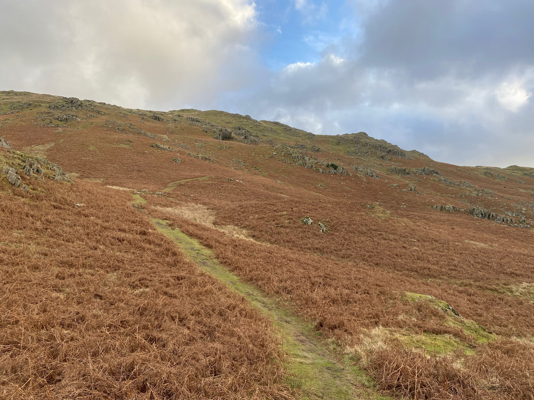
From Alcock Tarn the path heads towards Lord Crag
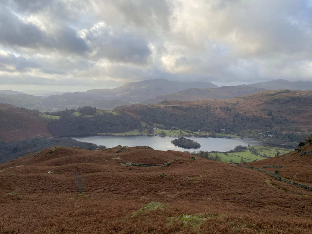
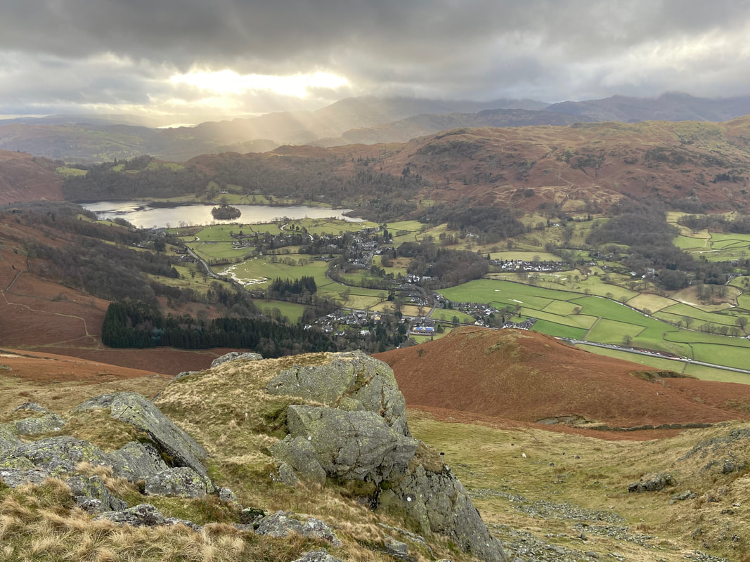
Grasmere Water with the Coniston Fells beyond
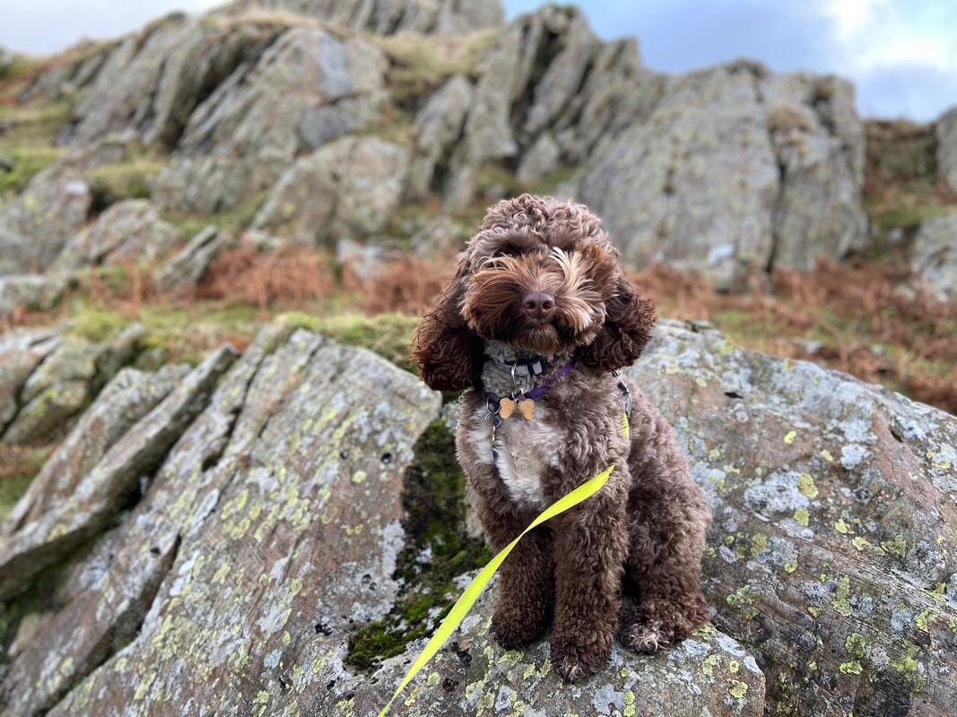
A noble pose from Rufus
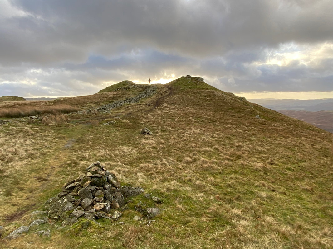
Reaching the ridge line at Grid Reference NY 355 075 which is marked by a small cairn. We would return here on completion of visiting Nab Scar which is 260 yards ahead and just the other side of the silhouetted walker. This path forms part of the Fairfield Horseshoe.
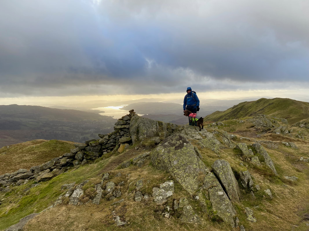
The summit of Nab Scar with Windermere distant
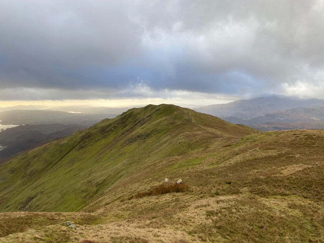
Looking back to Nab Scar from the onward route to Heron Pike
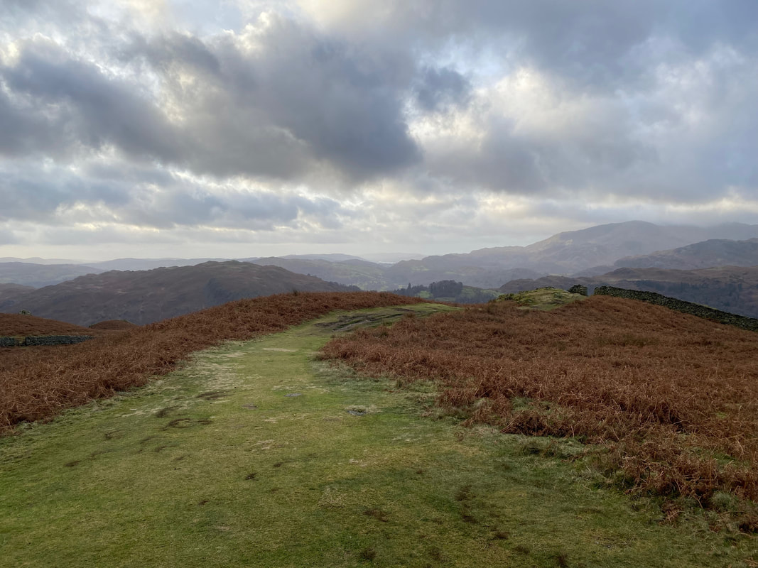
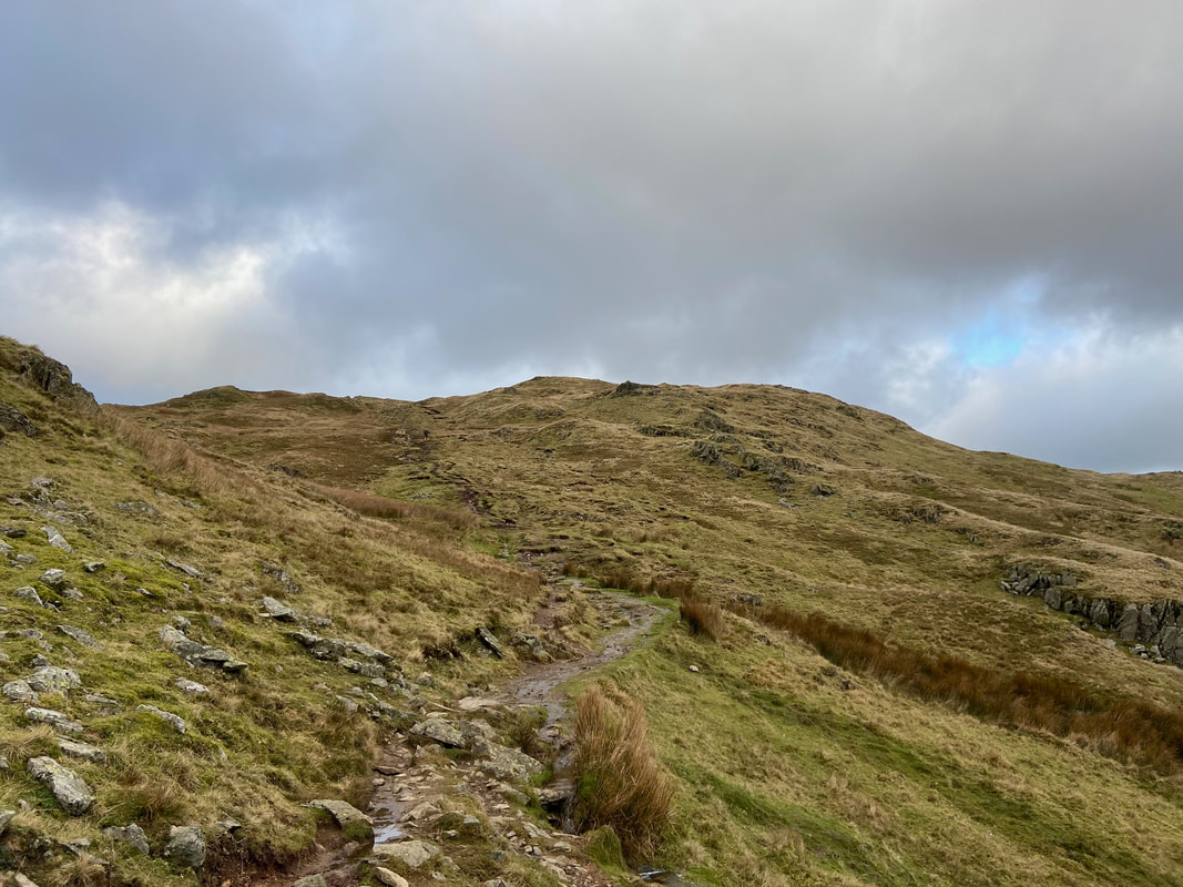
The path rises gently as it makes its way to Heron Pike
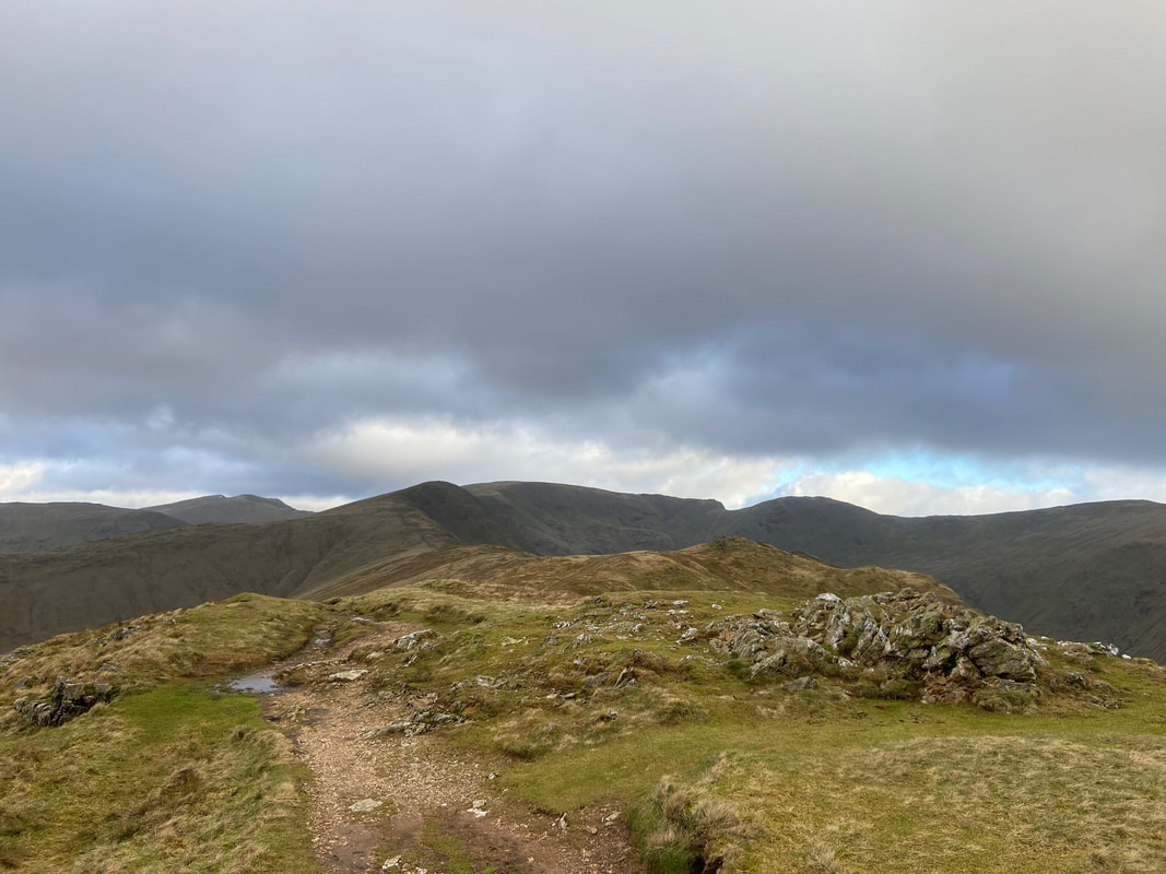
The rocky outcrop that marks the summit of Heron Pike
From Heron Pike it is a pleasant 1/4 of a mile stroll to the summit of Heron Pike North Top
Looking to Heron Pike from the North Top
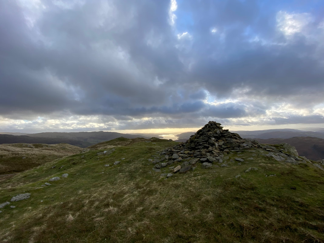
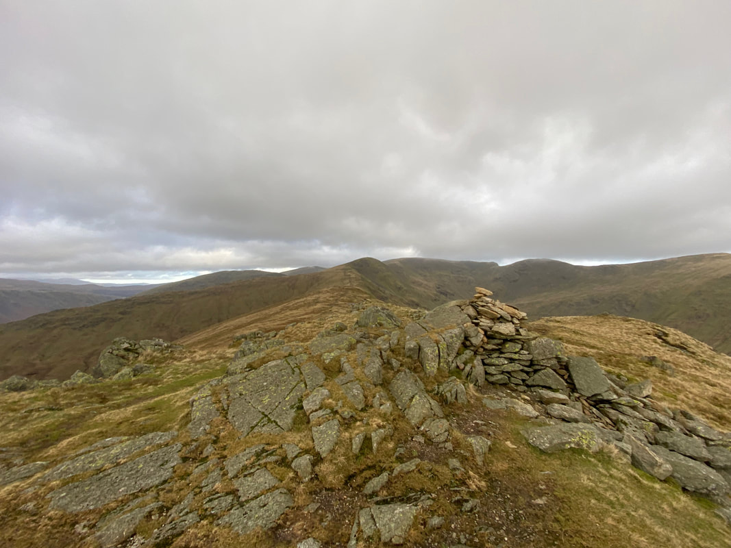
The rock at the end of the old wall that marks the summit of Heron Pike North Top
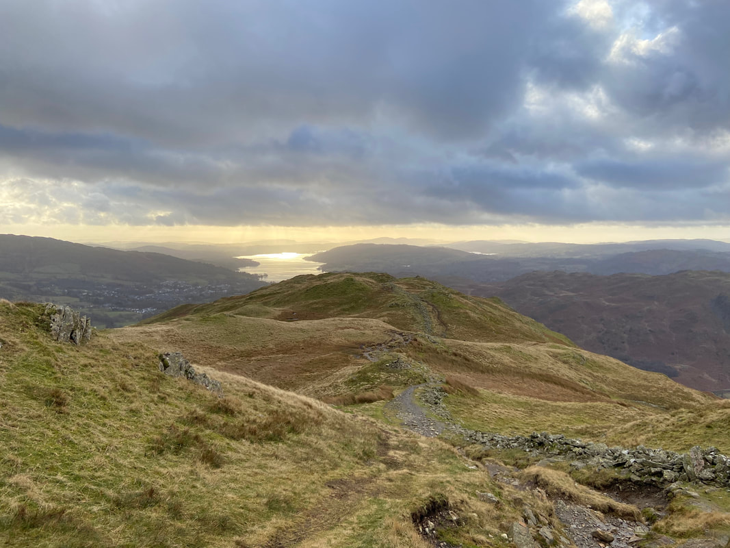
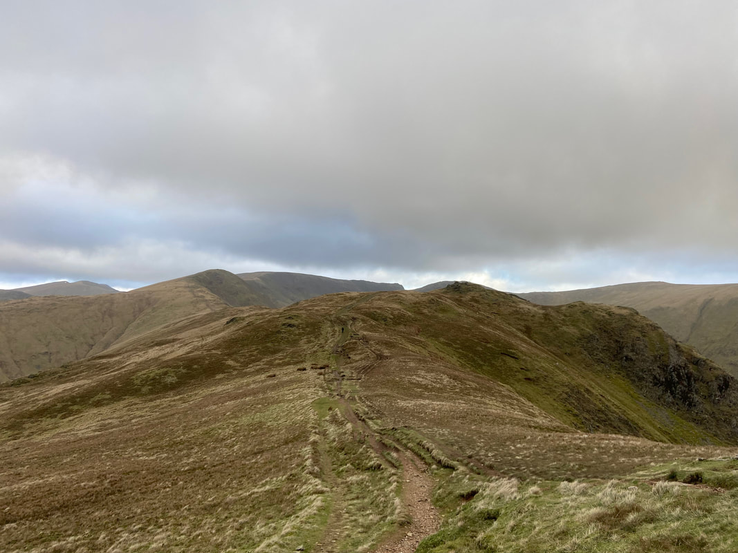
The onward route to Great Rigg & Fairfield from Heron Pike North Top
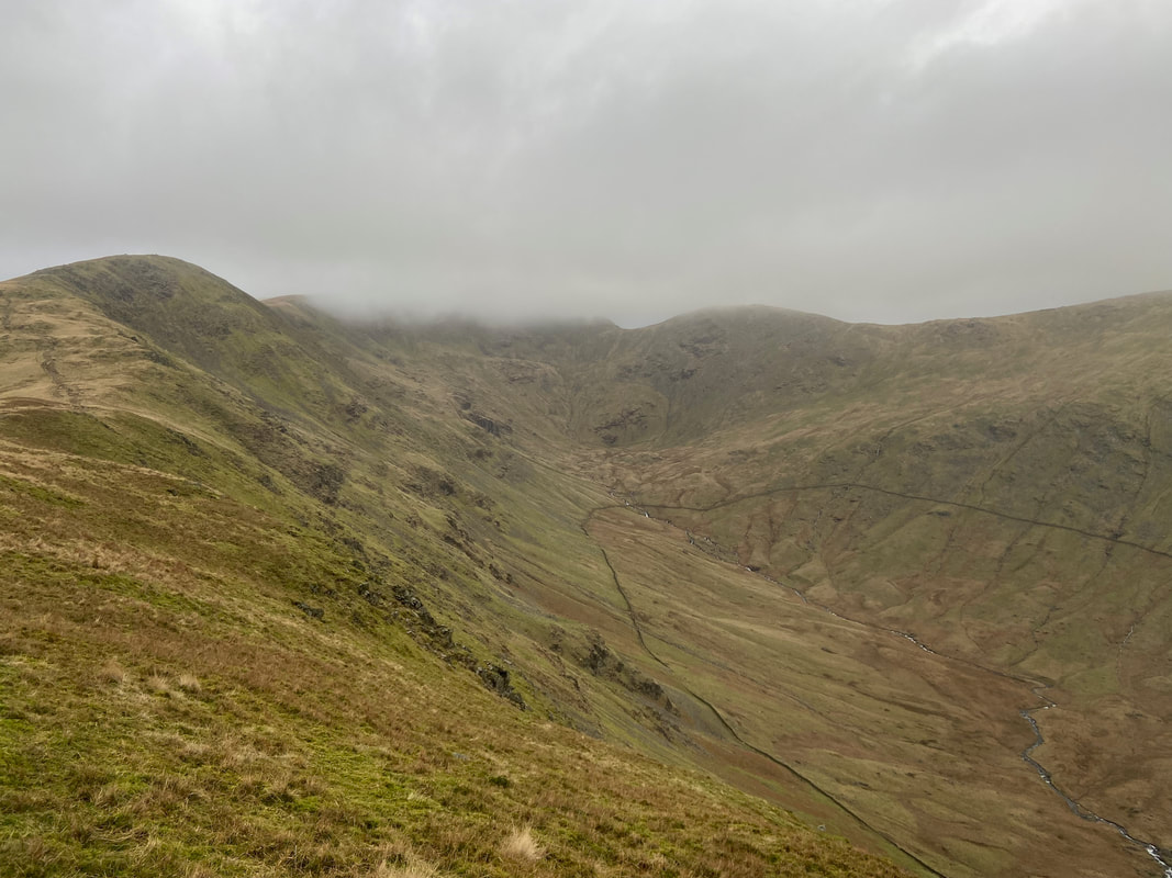
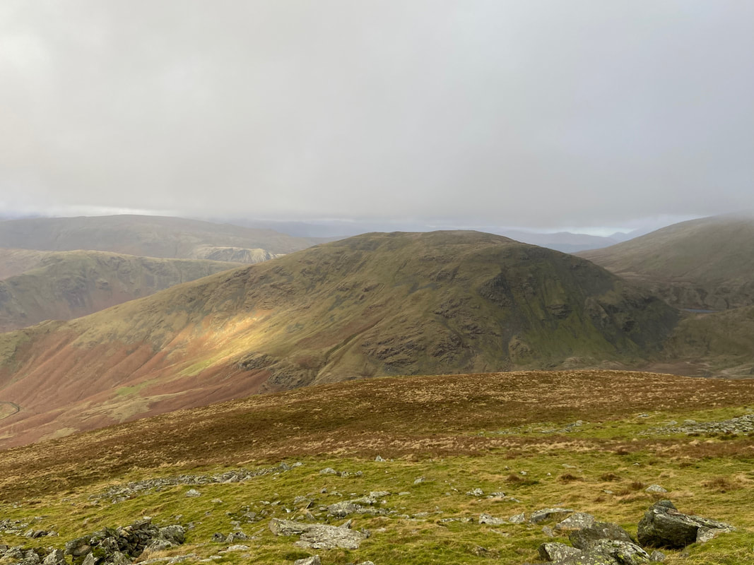
The head of Rydal with Fairfield now in cloud
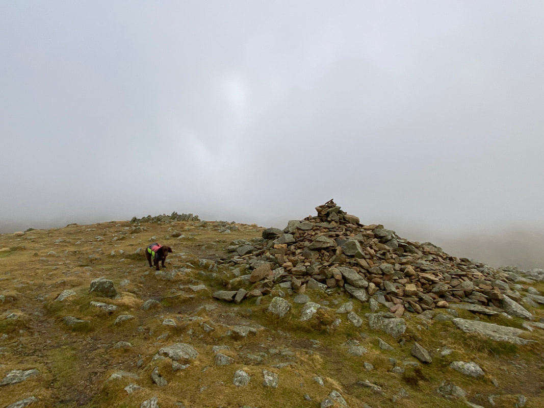
The large cairn on the summit of Great Rigg which is detailed on the 1:25 OS Map as "Greatrigg Man"
50 yards north east of the cairn is the rock that marks the summit of Great Rigg
Seat Sandal from Great Rigg
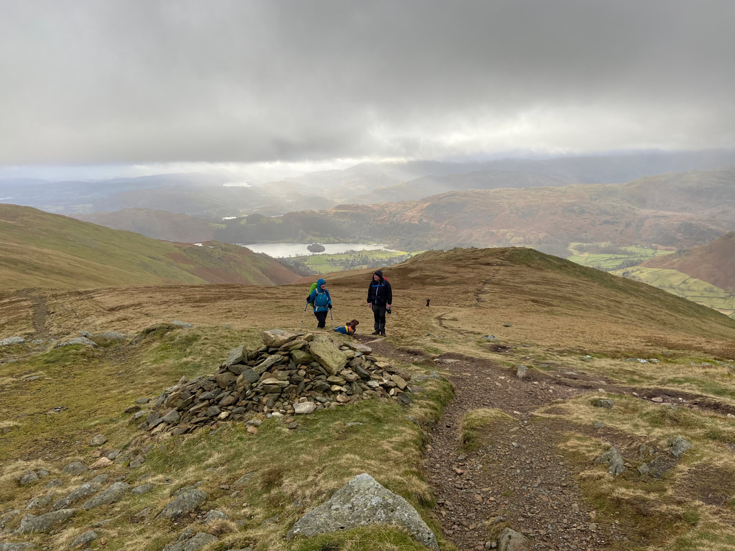
From Great Rigg we turned back on ourselves to head for the large cairn that marks the turn off down to Stone Arthur. The cairn is located at Grid Reference NY 35513 10190.
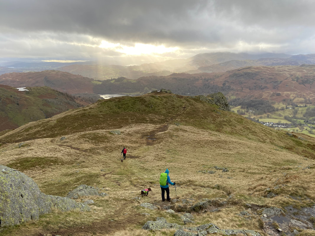
The descent to Stone Arthur is on a very pleasant gradient
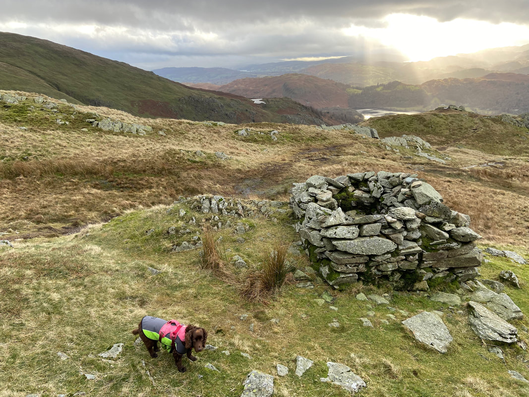
Looking down to Stone Arthur's summit from the old bield. This small, walled enclosure is not marked on the OS Map and despite extensive research I am unsure as to its purpose. At first look it could be a Fox Trap but it does not appear deep enough and it is too small to be a sheepfold.
From the old bield it is a short walk through a grassy depression to reach the summit of Stone Arthur
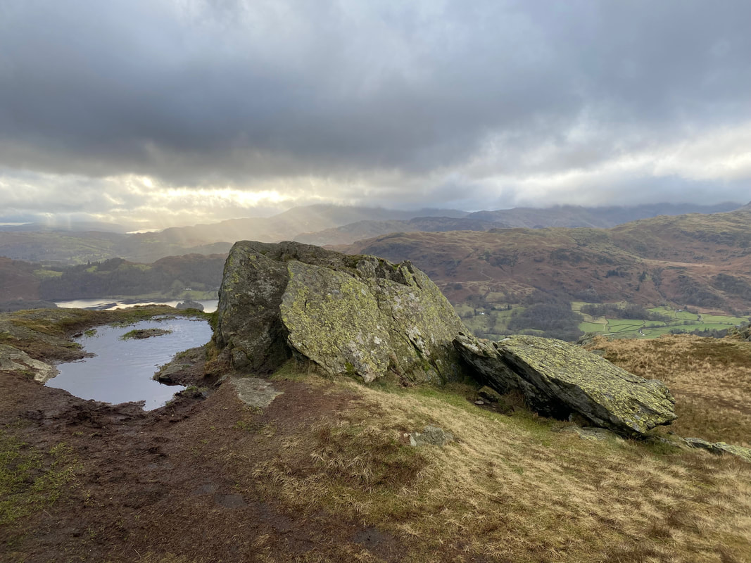
The outcrop that marks the summit of Stone Arthur
Helm Crag across the A591 from the descent of Stone Arthur
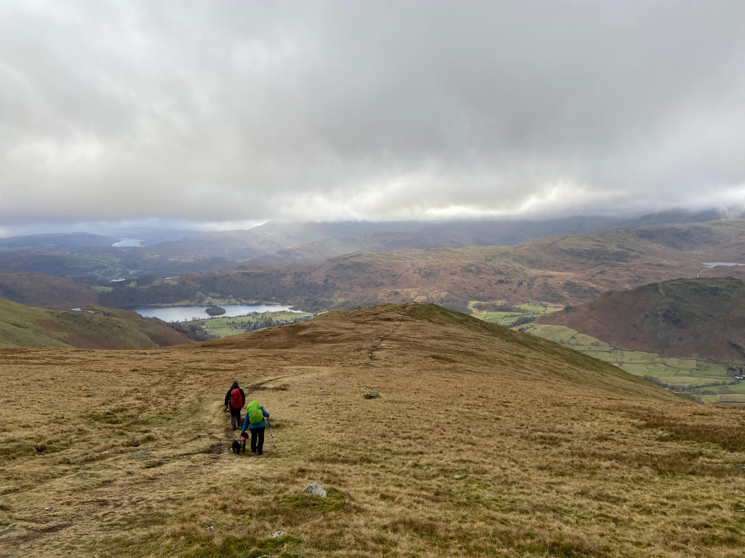
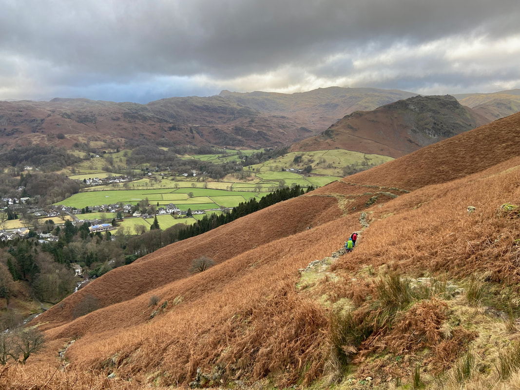
Grasmere below as we continue the sometimes steep descent
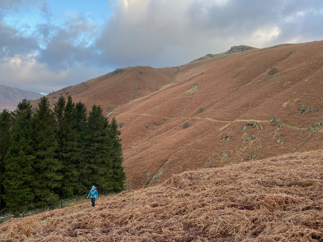
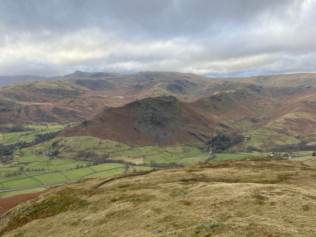
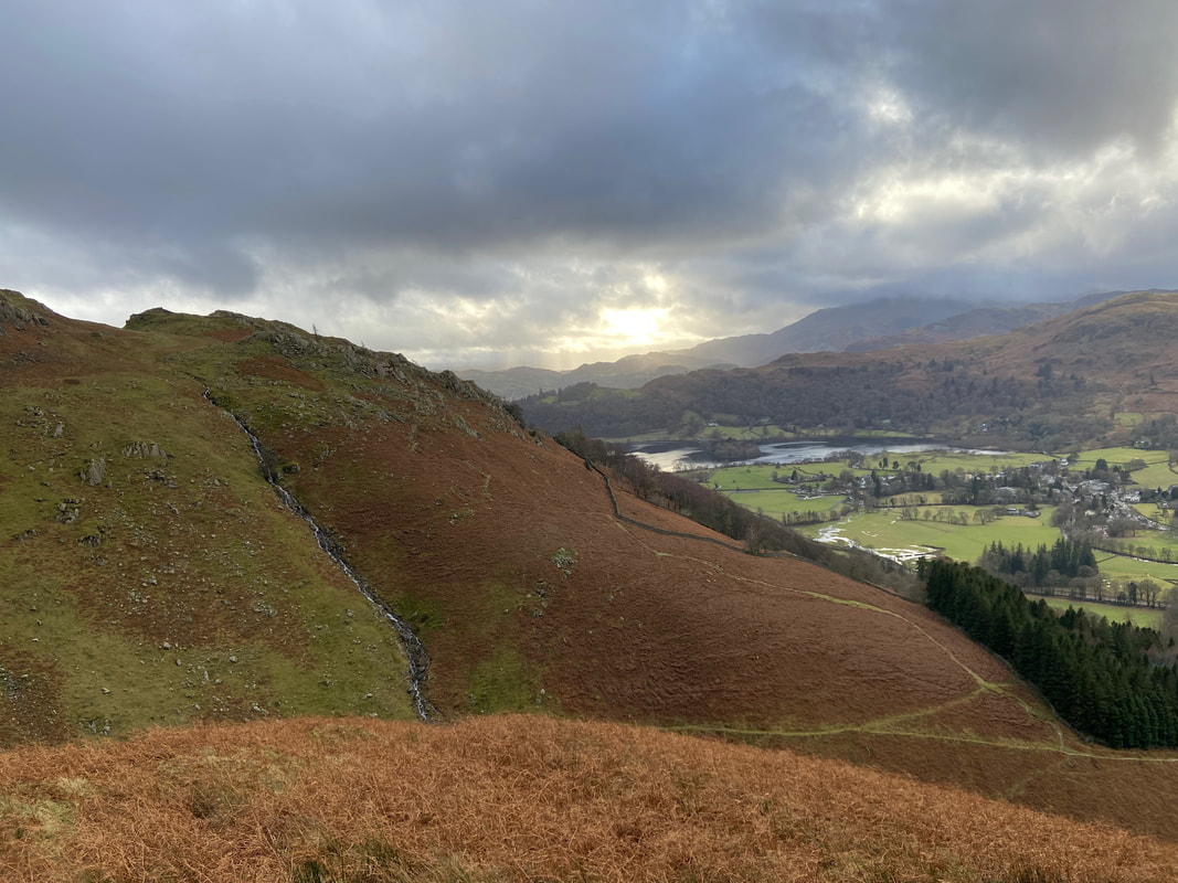
Looking across to our outward path to Alcock Tarn
The path back to Grasmere continues steeply down with Greenhead Gill in view to the left
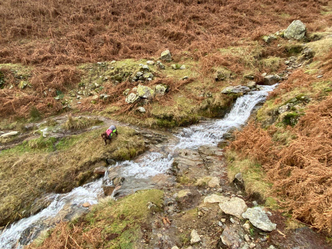
The path crosses a small ford which gives Fudge the opportunity to wash his paws off
Get the beers in - I'll be with you in a minute
