St Sunday Crag, Birks & Arnison Crag - Wednesday 14 October 2020
Route
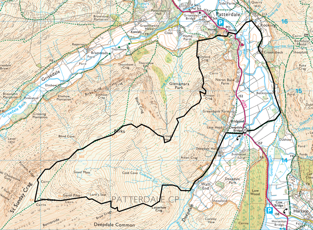
Deepdale Bridge - Lane Head - Deepdale Hall - Wall End - Coldcove Gill - Lord's Seat - Gavel Pike - St Sunday Crag - Birks - Trough Head - Arnison Crag - Patterdale - Rooking - Crookabeck - Beckstones - Deepdale Bridge
Parking
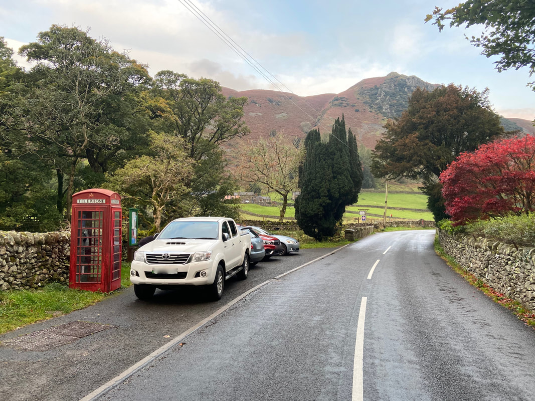
Deepdale Bridge (Free) - there is room for a few cars near the Telephone Box but please park sensibly. The Grid Reference is NY 3994 1439 and the nearest postcode is CA11 0NS. There are more spaces up the road to the north in the direction of Patterdale at Bridgend (Grid Reference NY 3994 1454, same postcode).
Mileage
8 miles
Terrain
Good mountain paths for the most part. We ascended initially via Coldcove Gill in order to do a bit of gill scrambling however there is a path to Gavel Pike to the south of the gill. Once we had finished in the gill we made our ascent to Gavel Pike via this path.
Weather
Gloriously sunny for the most part with very good visibility.
Time Taken
7hrs
Total Ascent
2509ft (765m)
Wainwrights
3
Map
OL5 - The English Lakes - North Eastern Area
Walkers
Dave, Richard Jennings & Frankie the Collie
|
GPX File
|
| ||
If the above GPX file fails to download or presents itself as an XML file once downloaded then please feel free to contact me and I will send you the GPX file via e-mail.
Route Map
The parking area at Deepdale Bridge
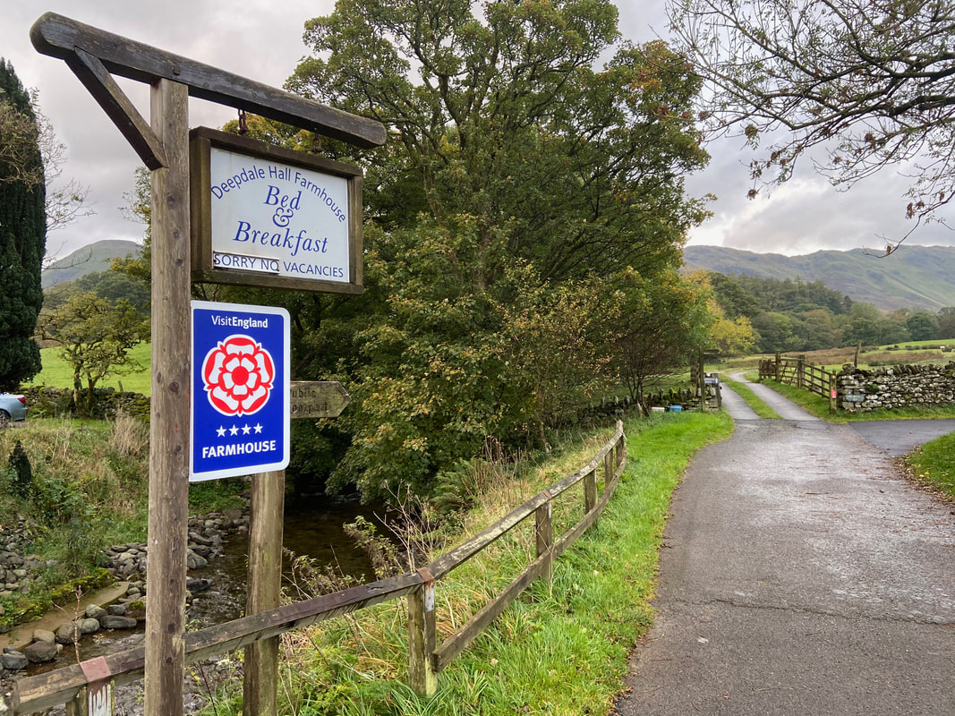
From the parking area the route heads up a lane to Deepdale Hall Farm. The route swings right here towards Lane Head then on to Deepdale Hall.
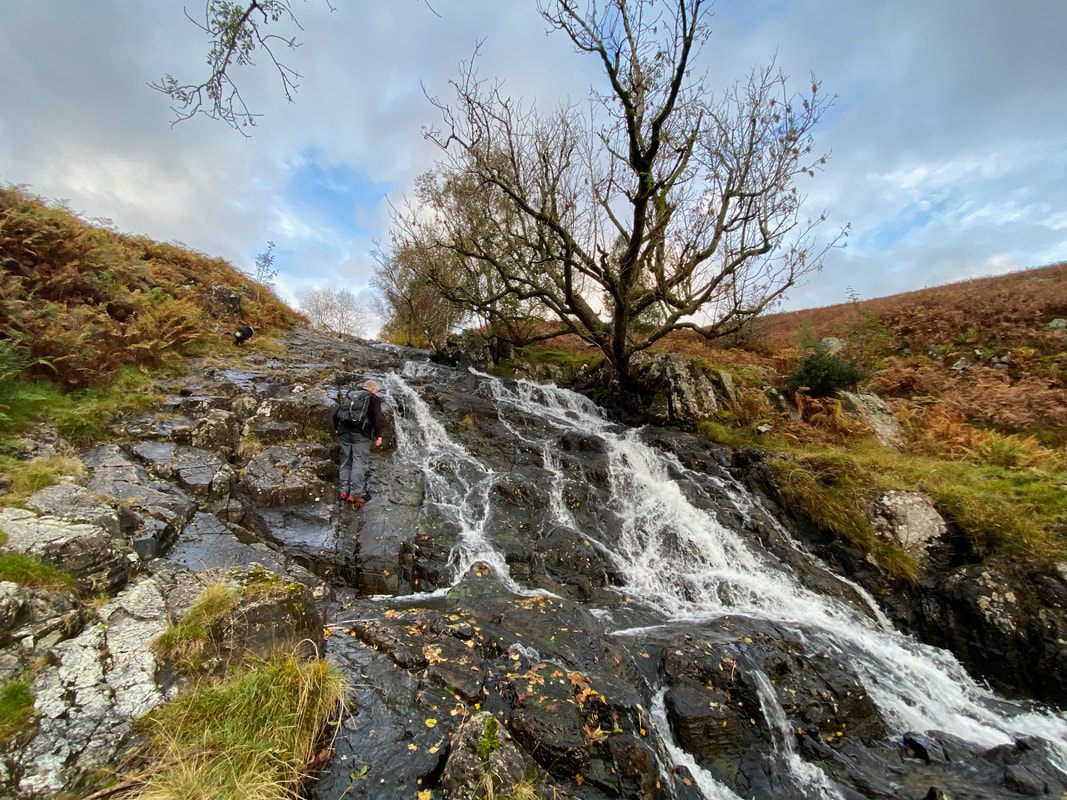
After passing the farms at Deepdale Hall & Wall End we located the foot of Coldcove Gill.
Attaching our micro spikes, we then enjoyed a few hundred metres of gill scrambling before rejoining the main path to St Sunday Crag. We intend returning here in the Summer to follow the gill all the way up - at which point there will be less water about!
Attaching our micro spikes, we then enjoyed a few hundred metres of gill scrambling before rejoining the main path to St Sunday Crag. We intend returning here in the Summer to follow the gill all the way up - at which point there will be less water about!
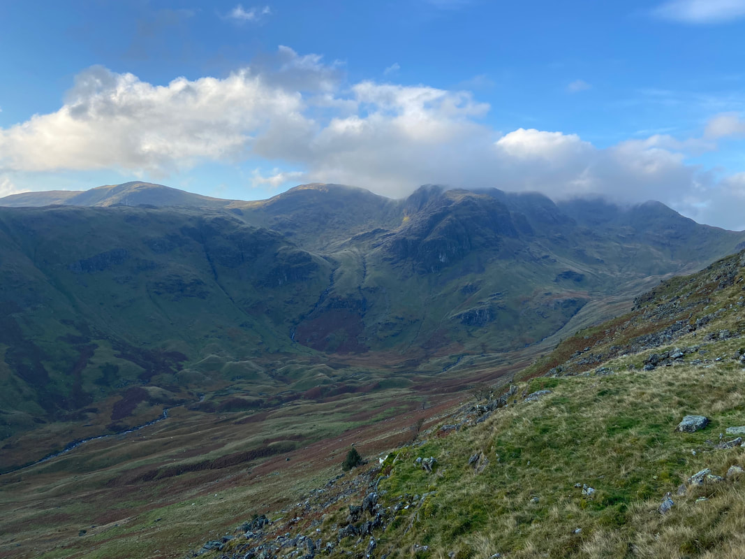
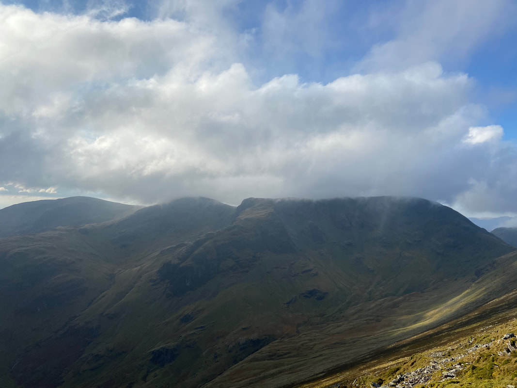
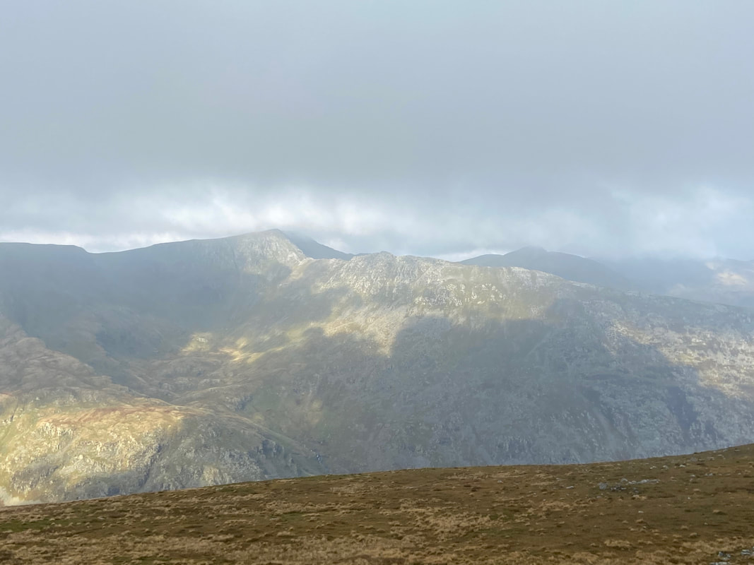
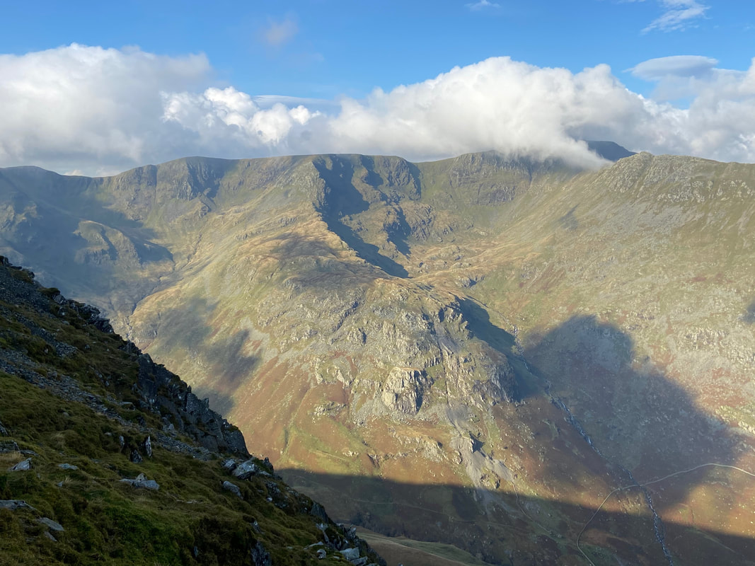
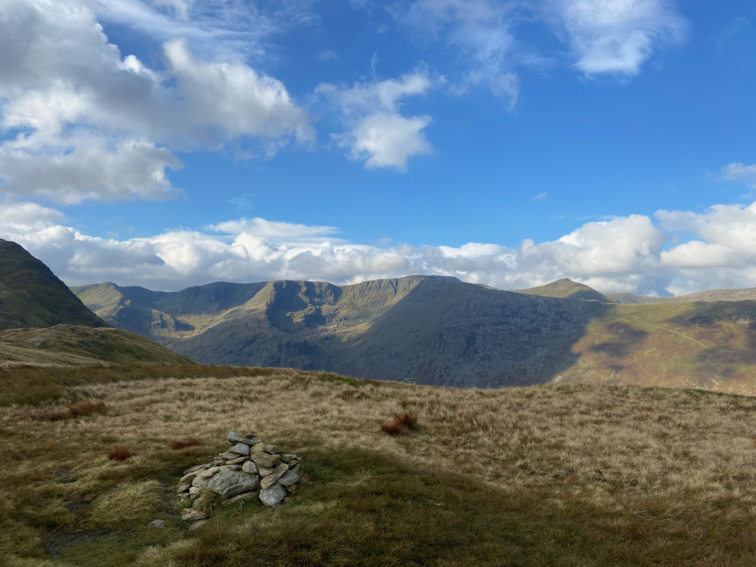
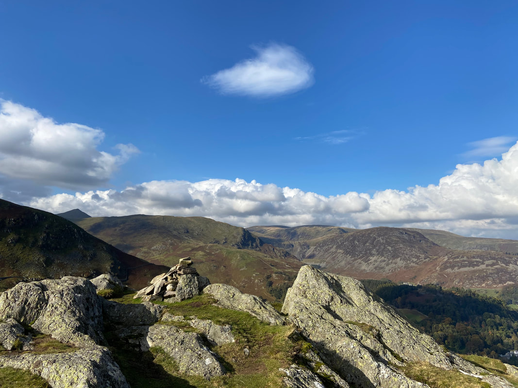
Looking into Deepdale to Dove Crag, Hart Crag & Fairfield with Hartsop Above How to the left and the craggy face of Greenhow End right of centre
Birks over to the left with Place Fell & Boredale Hause to the right
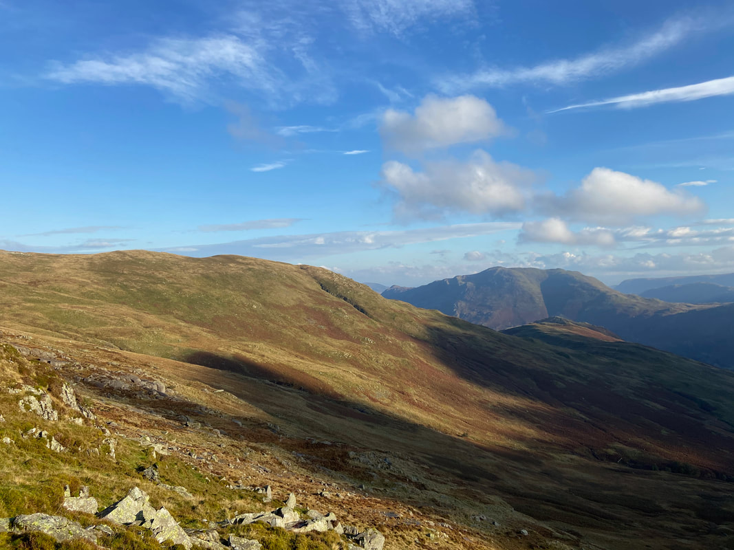
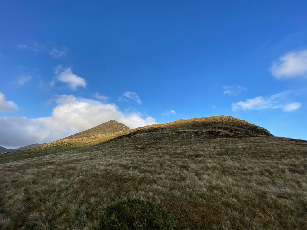
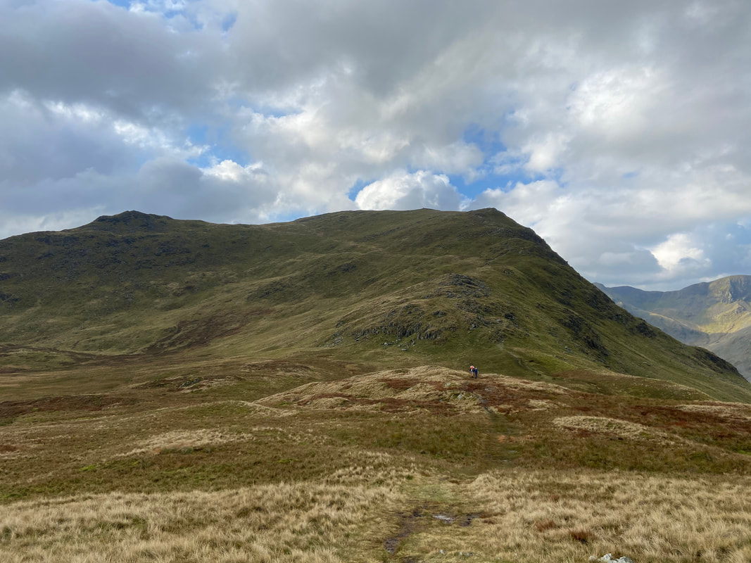
Approaching Lord's Seat with Gavel Pike now in view to the rear
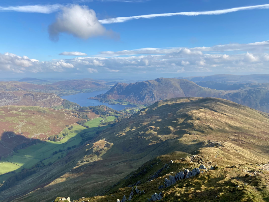
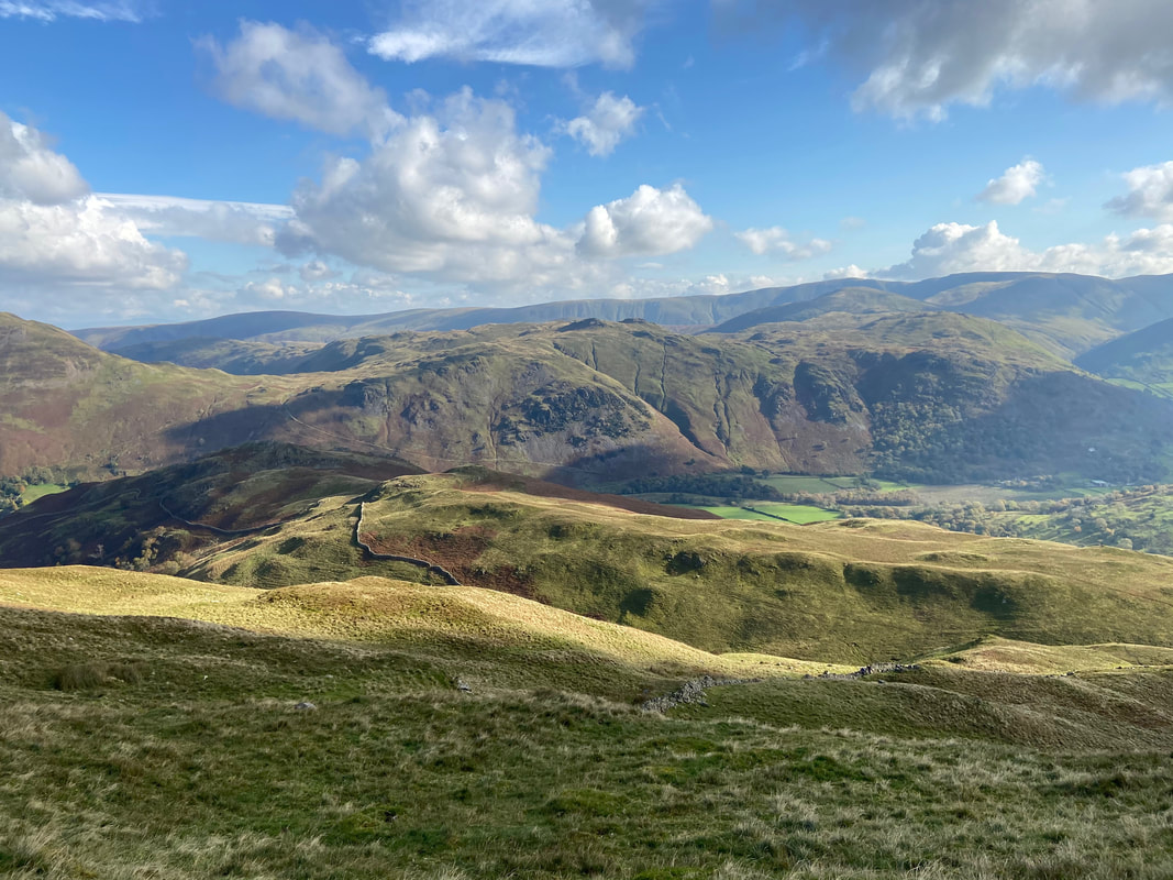
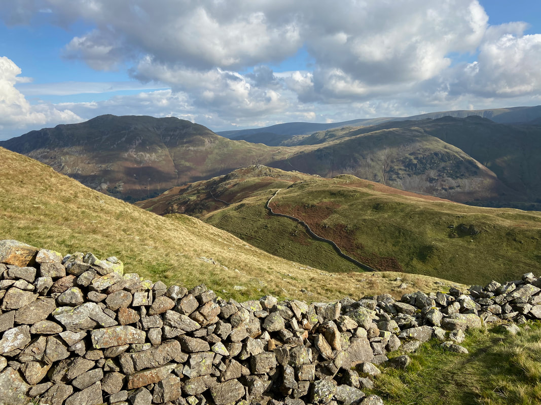
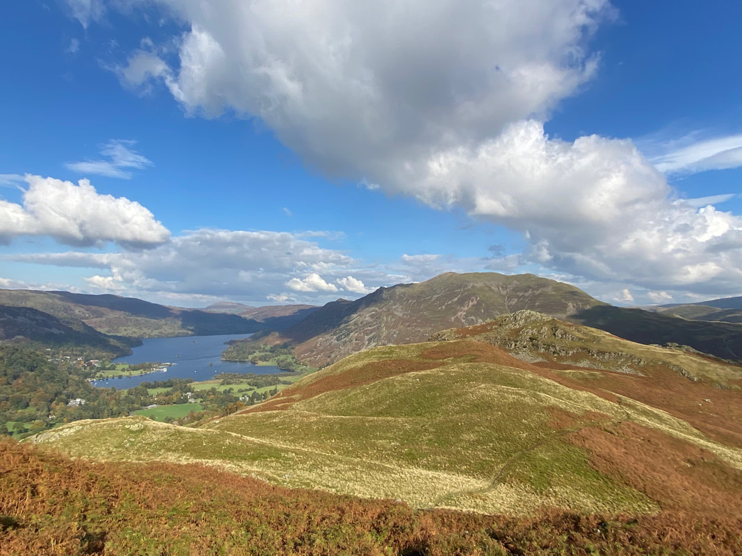
A view to our return route with Birks stretching away towards Arnison Crag to the right.
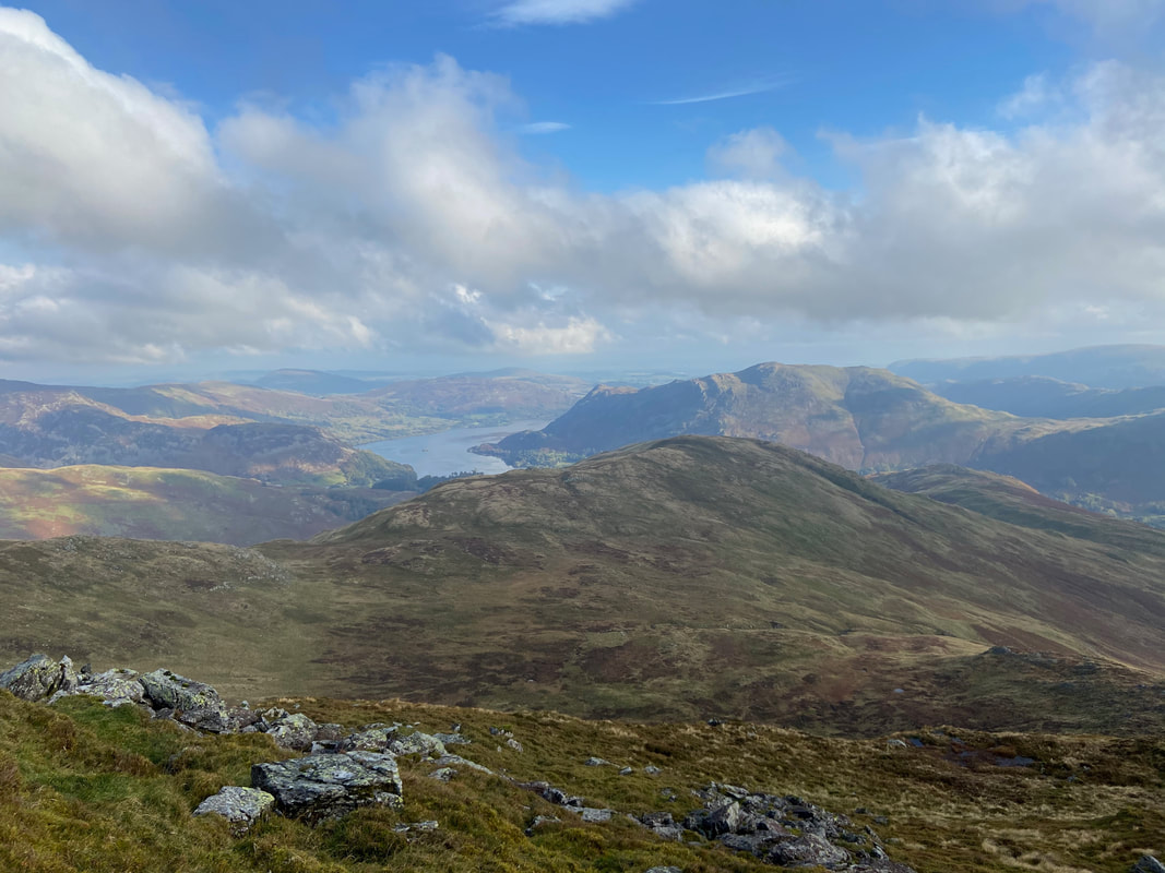
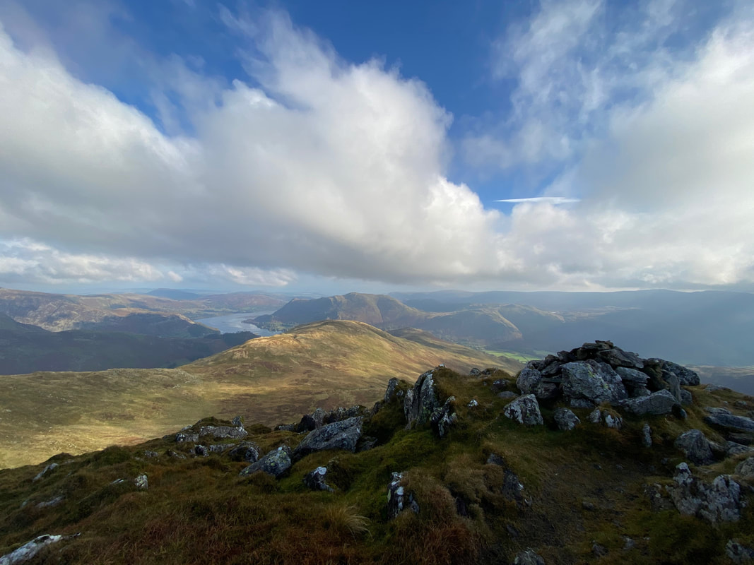
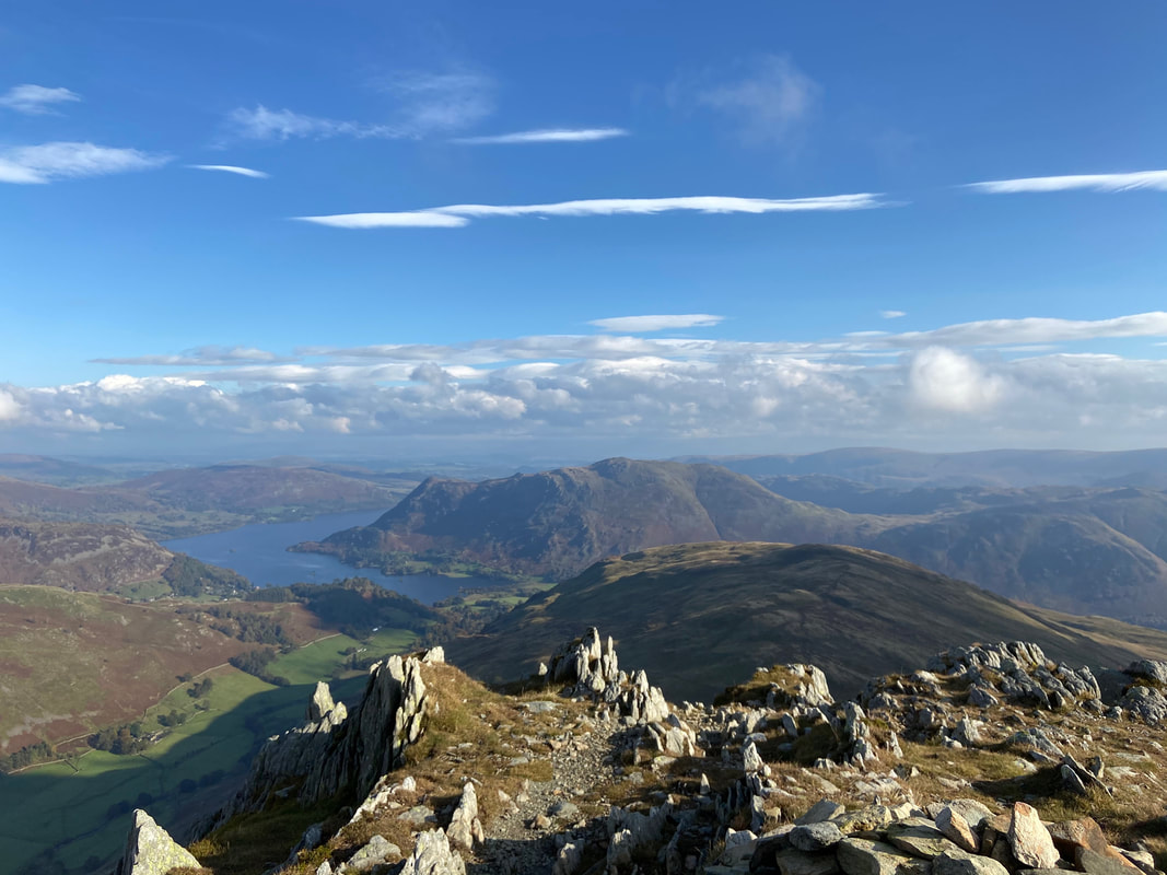
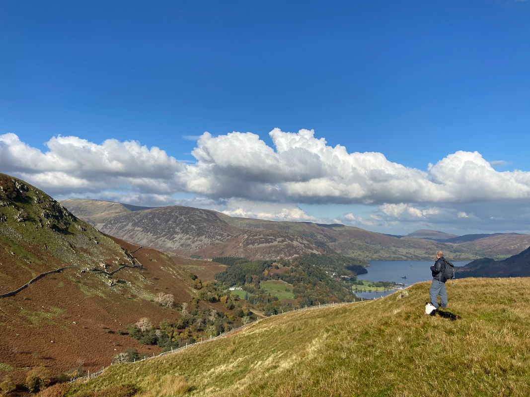
Ullswater is in the distance with the slopes of Birkhouse Moor, Glenridding Dodd & Place Fell also in view.
Ullswater is in the distance with the slopes of Birkhouse Moor, Glenridding Dodd & Place Fell also in view.
The cloud clears a bit to reveal Dove Crag, Hart Crag & Fairfield once more
The summit of Gavel Pike looking to Birks
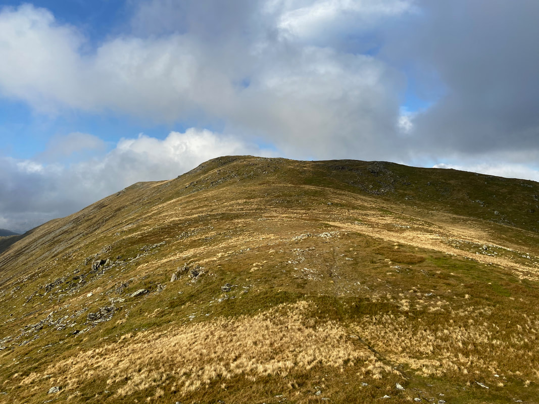
From Gavel Pike the final few hundred yards of the east ridge to St Sunday Crag is an easy amble
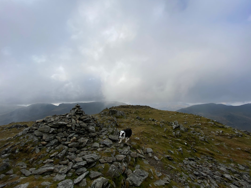
The summit of St Sunday Crag
Striding Edge in the haze from St Sunday Crag
The visibility and light was starting to improve as we left St Sunday Crag for Birks which is ahead
Looking to Eagle Crag and the eastern ridge of Nethermost Pike - Helvellyn has a cloudy hat on
Descending St Sunday Crag towards Birks - looking north, it was turning into a beautiful day
Looking back to St Sunday Crag from the approach to Birks
The understated summit of Birks looking to the Helvellyn Range with the pointed tip of Catstycam to the right
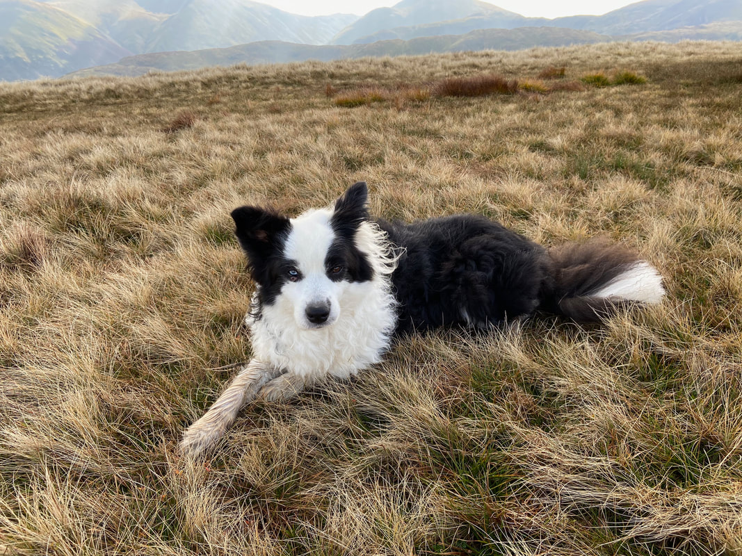
Frankie took it all in his stride today
The descent to Trough Head then onwards to Arnison Crag with Angletarn Pikes centre.
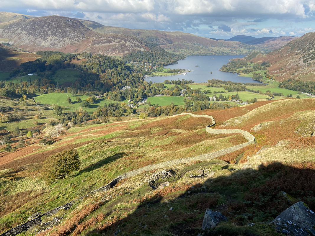
To reach Arnison Crag via Trough Head you simply need to take a bearing on the wall seen heading down the fell in the foreground. Aim off with your compass bearing and when the wall is reached turn right and follow it to Trough Head and then scramble up the other side to reach Arnison Crag's south ridge.
To reach Arnison Crag via Trough Head you simply need to take a bearing on the wall seen heading down the fell in the foreground. Aim off with your compass bearing and when the wall is reached turn right and follow it to Trough Head and then scramble up the other side to reach Arnison Crag's south ridge.
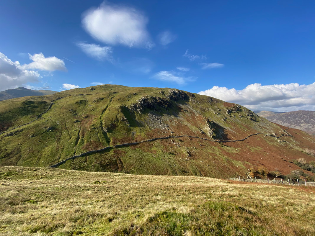
A closer look at the wall running down the fell with Arnison Crag just left of centre.
This section is extremely steep therefore take care in wet or icy conditions.
This section is extremely steep therefore take care in wet or icy conditions.
Birks from above Trough Head on Arnison Crag's south ridge.
The wall we followed steeply down from Birks can be seen on the far left of shot.
The wall we followed steeply down from Birks can be seen on the far left of shot.
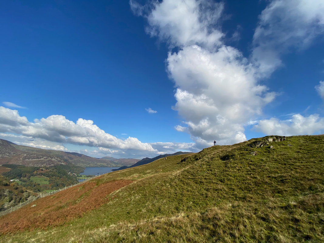
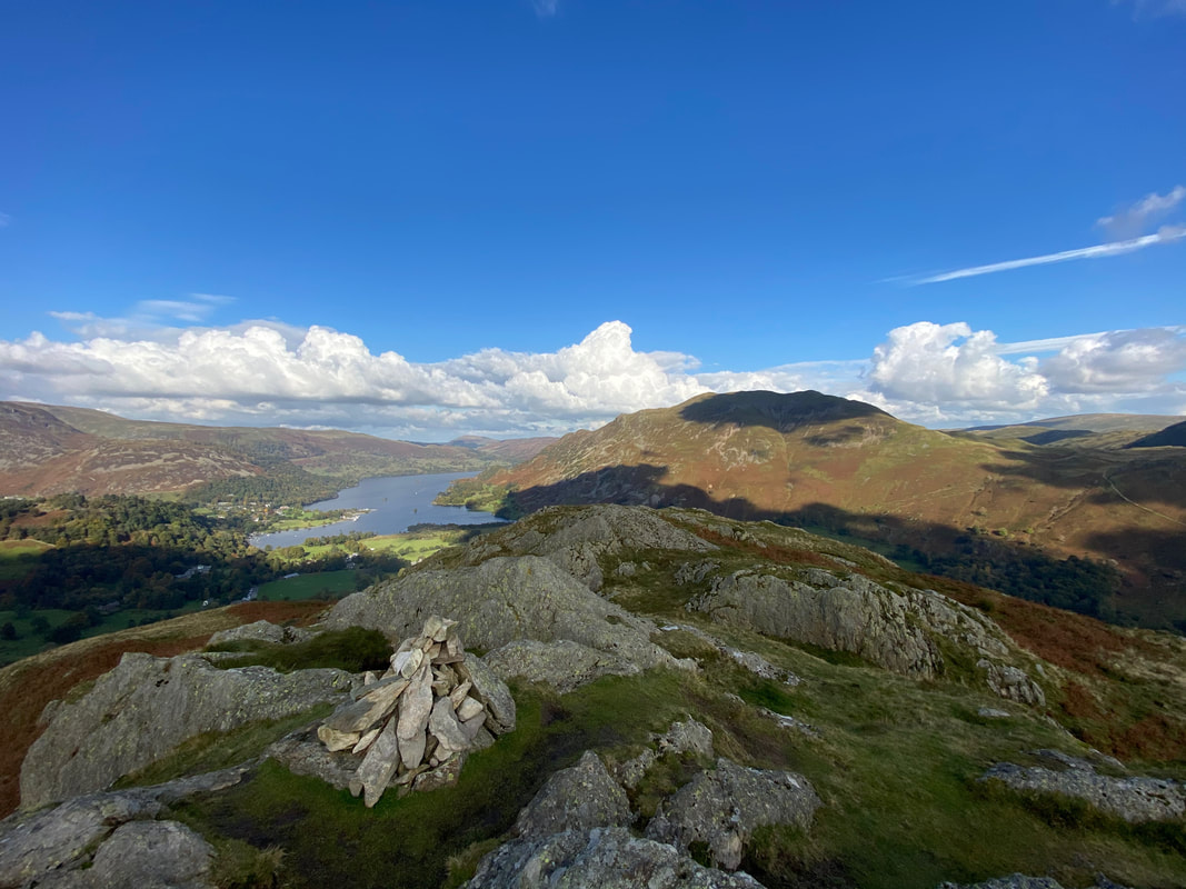
On Arnison Crag's south ridge looking to Ullswater
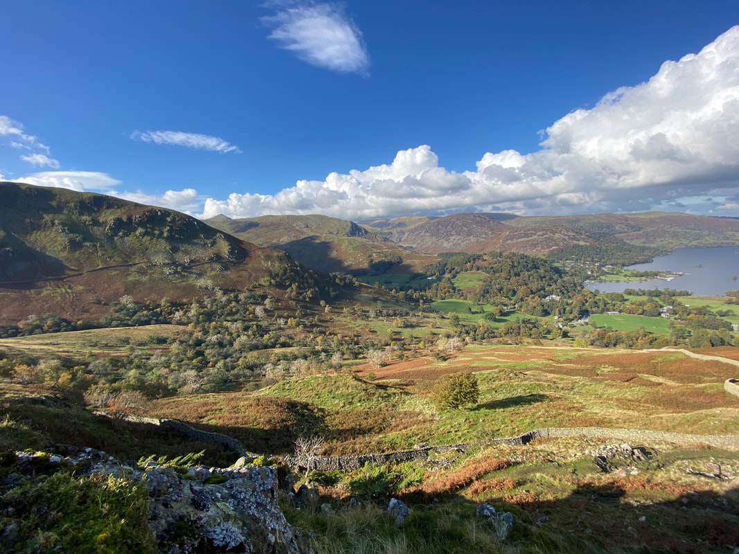
Looking to the slopes of Birks, Sheffield Pike & Glenridding Dodd from Arnison Crag. The wooded area in the centre is Keldas.
Arnison Crag's summit lies along a delightful transit along its south ridge
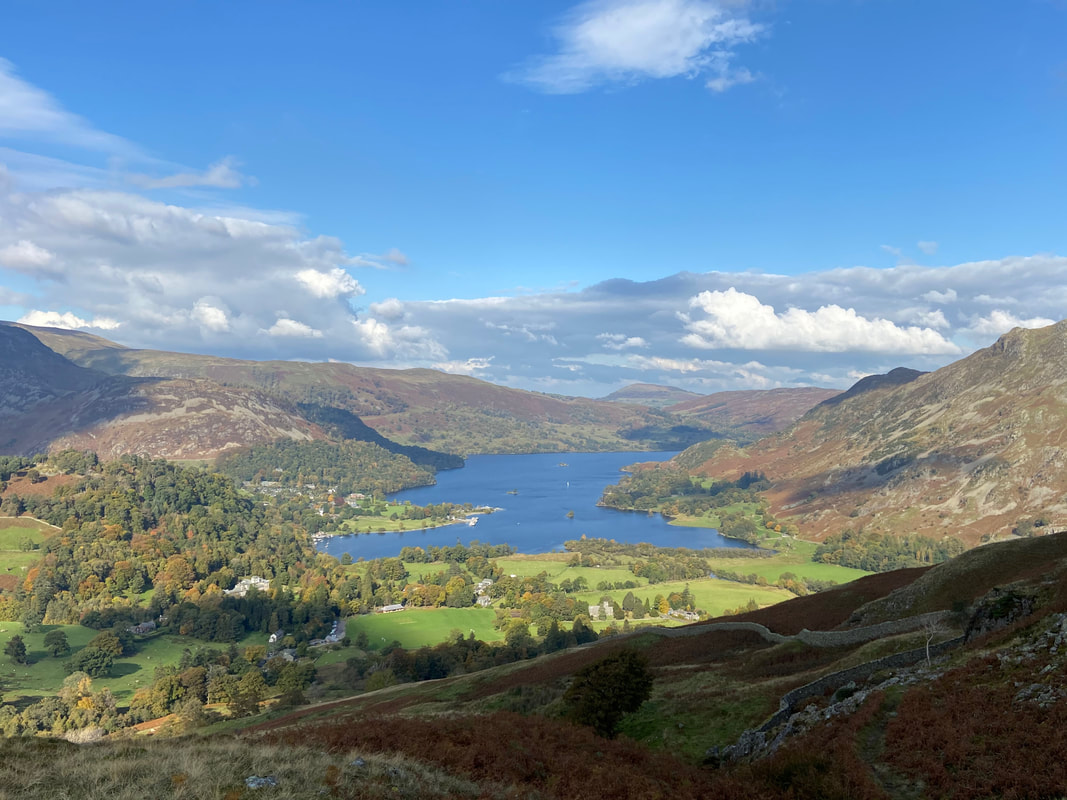
Ullswater, Patterdale & Glenridding from Arnison Crag
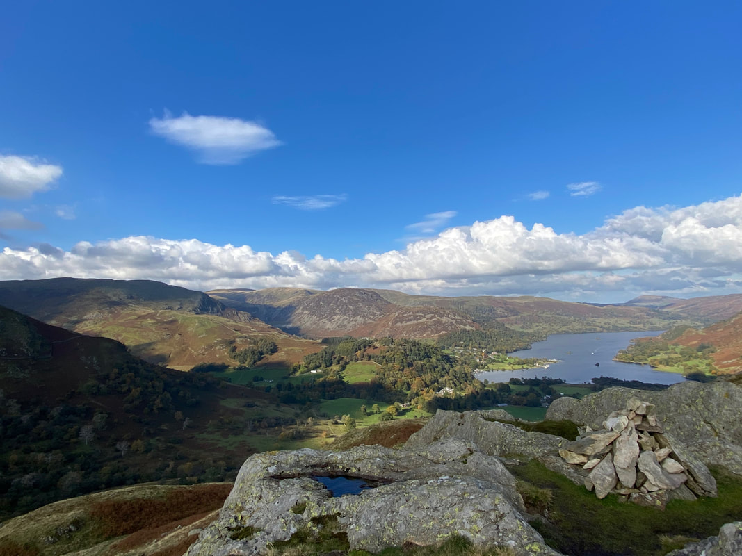
The summit of Arnison Crag
Another view of Arnison Crag's summit this time showing the complimentary dog water bowl
The summit of Arnison Crag looking to Catstycam, Birkhouse Moor, The Dodds & Sheffield Pike
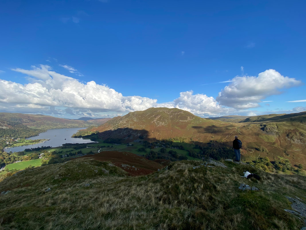
Time for the descent down to Patterdale as Richard & Frankie pose for effect looking to Place Fell
To descend to Patterdale simply drop down to the wall from Arnison Crag's summit and follow it
The view across Glenamara Park from just below Arnison Crag
Frankie has a good old sniff about as we continue our descent to Patterdale.
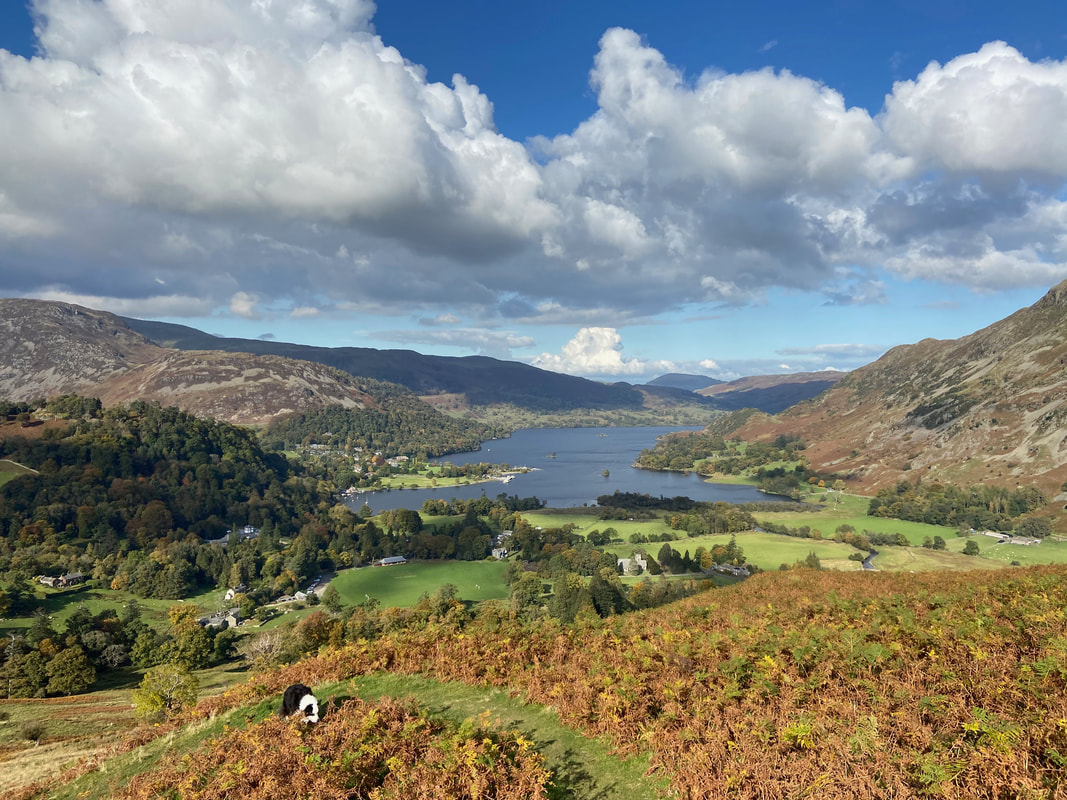
There are lots of superb views in Lakeland but this must rank as one of the best - in my eyes anyway.
There are lots of superb views in Lakeland but this must rank as one of the best - in my eyes anyway.
Place Fell from below Oxford Crag
From Patterdale the route heads to Rooking where a farm track heads in the direction of Hartsop
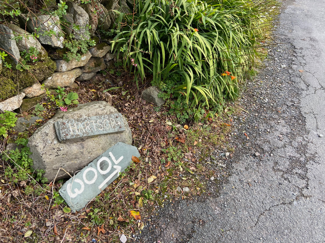
The path continues towards Hartsop
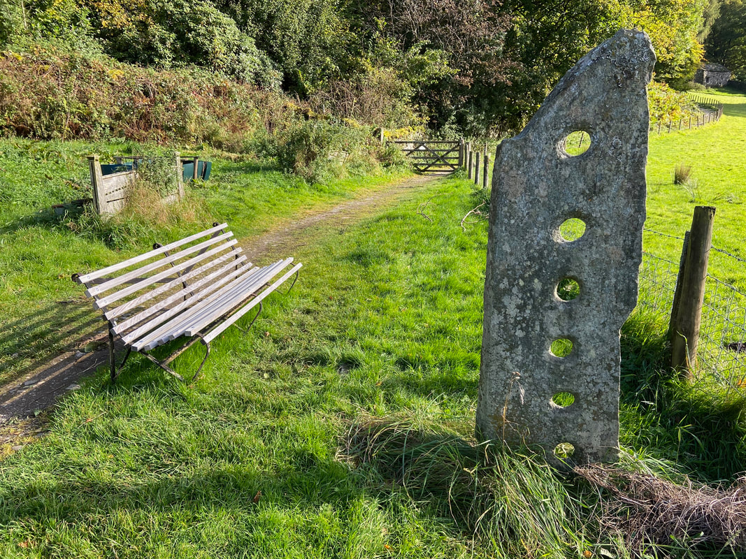
The transit along here is glorious and would make for a lovely late evening stroll. The structure to the right is an old stone fence post.
The transit along here is glorious and would make for a lovely late evening stroll. The structure to the right is an old stone fence post.
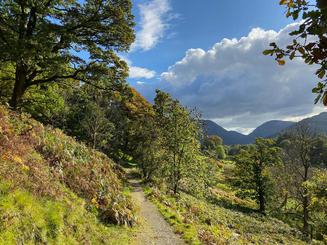
Beautiful autumnal colours as we near our turn off point to Deepdale Bridge.........
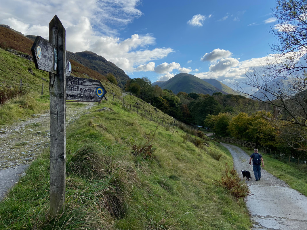
........... and here it is. The path to the left leads to Hartsop with the right hand path heading down to Deepdale Bridge
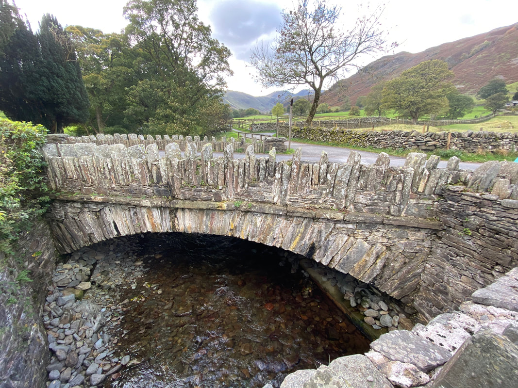
Deepdale Bridge
Wainwright was particularly taken by this "interesting double bridge" (Hart Crag 6)
Wainwright was particularly taken by this "interesting double bridge" (Hart Crag 6)
