Gray Crag, Thornthwaite Crag, Caudale Moor & Hartsop Dodd - Wednesday 8 March 2023
Route
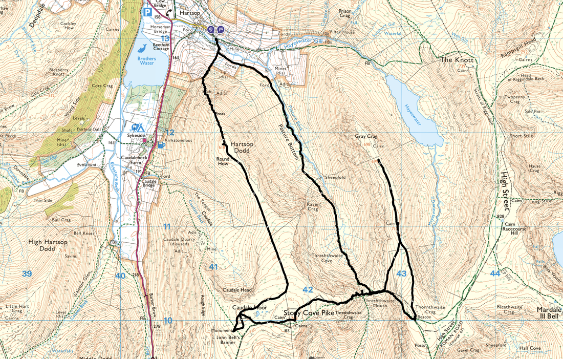
Hartsop - Pasture Bottom - Threshthwaite Cove - Threshthwaite Mouth - Thornthwaite Crag North Top - Gray Crag - Thornthwaite Crag North Top - Thornthwaite Crag - Threshthwaite Mouth - Stony Cove Pike (Caudale Moor) - John Bell's Banner - Hartsop Dodd - Hartsop
Parking
Hartsop Village Car Park (Donation in box by the gate) The Grid Reference is NY41001301 & the nearest postcode is CA11 0NZ.
Mileage
9 miles
Terrain
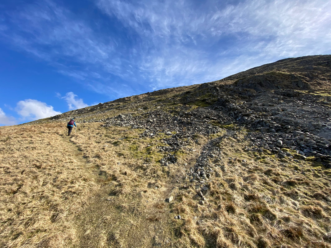
Good mountain paths throughout. The descent from Thornthwaite Crag to Threshthwaite Mouth is steep and over loose stone therefore care needs to be taken. The ascent from Threshthwaite Mouth to Caudale Moor contains some light scrambling.
Weather
Whilst bitterly cold on the summit ridges, we were blessed with sunshine and excellent visibility
Time Taken
6hrs
Total Ascent
2723ft (830m)
Wainwrights
4
Map
OL5 - The English Lakes (North Eastern Area)
Walkers
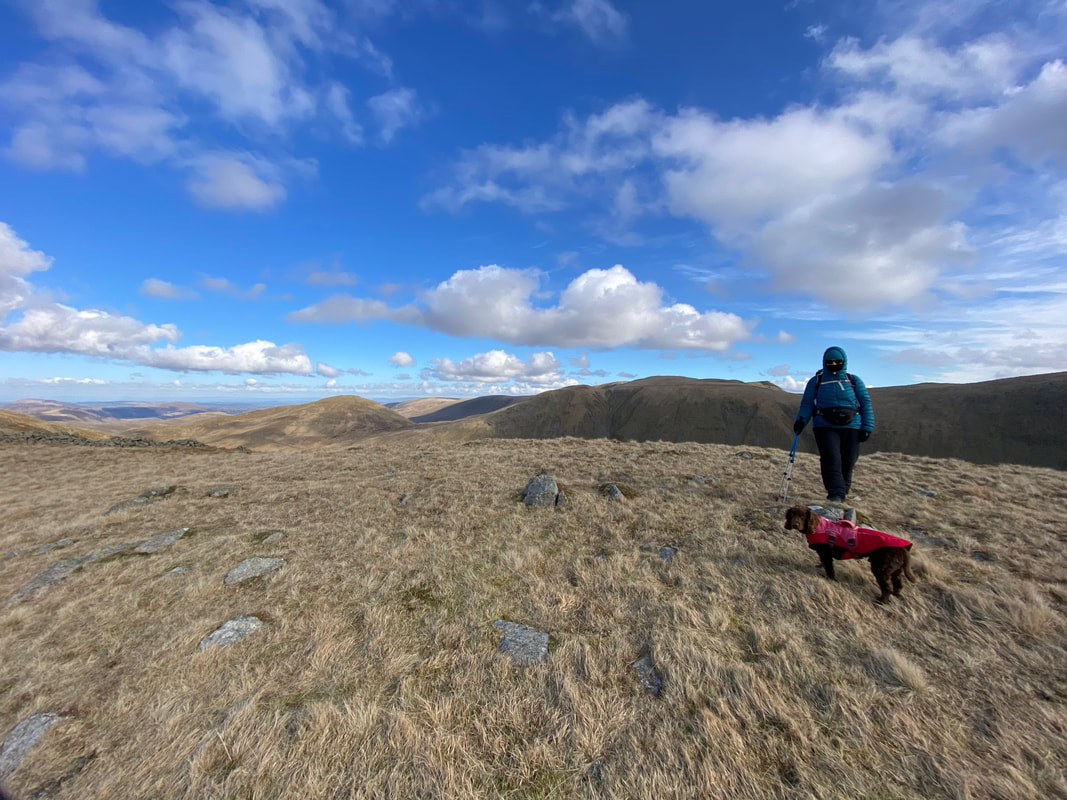
Dave, Angie & Fudge
|
GPX File
|
| ||
If the above GPX file fails to download or presents itself as an XML file once downloaded then please feel free to contact me and I will send you the GPX file via e-mail.
Route Map
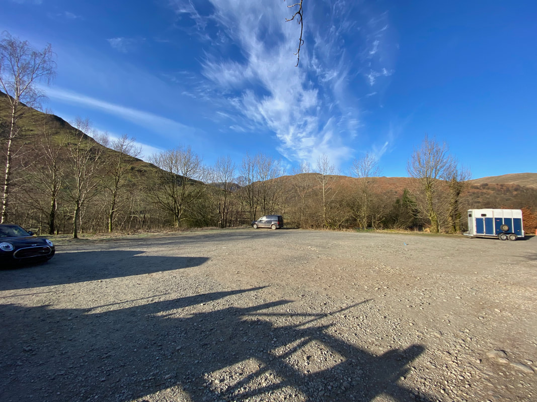
The Village Car Park in Hartsop which can be accessed at the eastern end of the no through road. If this facility is full then the walk can be started from the nearby Car Park at Cow Bridge which is half a mile to the west and can be found at Grid Reference NY403134, nearest postcode CA11 0NY.
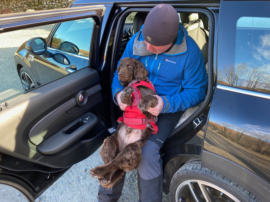
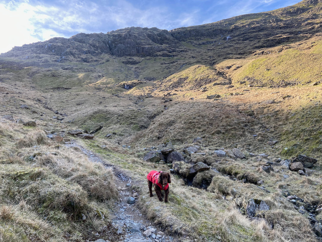
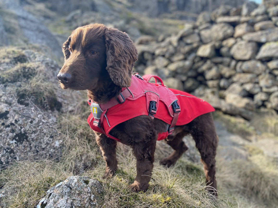
His Lordship crosses his legs and waits for his paw wax to dry
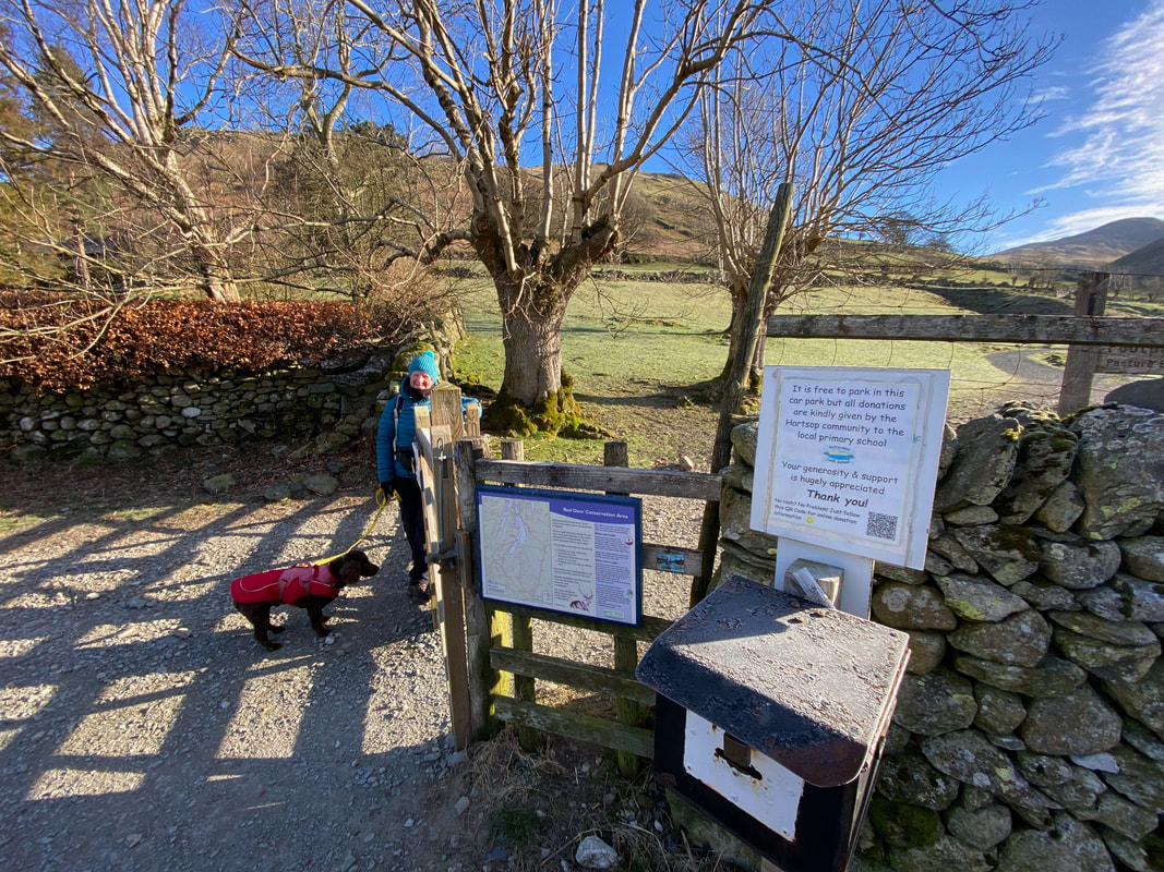
At the eastern end of the Car Park is the honesty box. Just put a few shekels in and your conscience is clear - it all goes into the local primary school's coffers which is great.
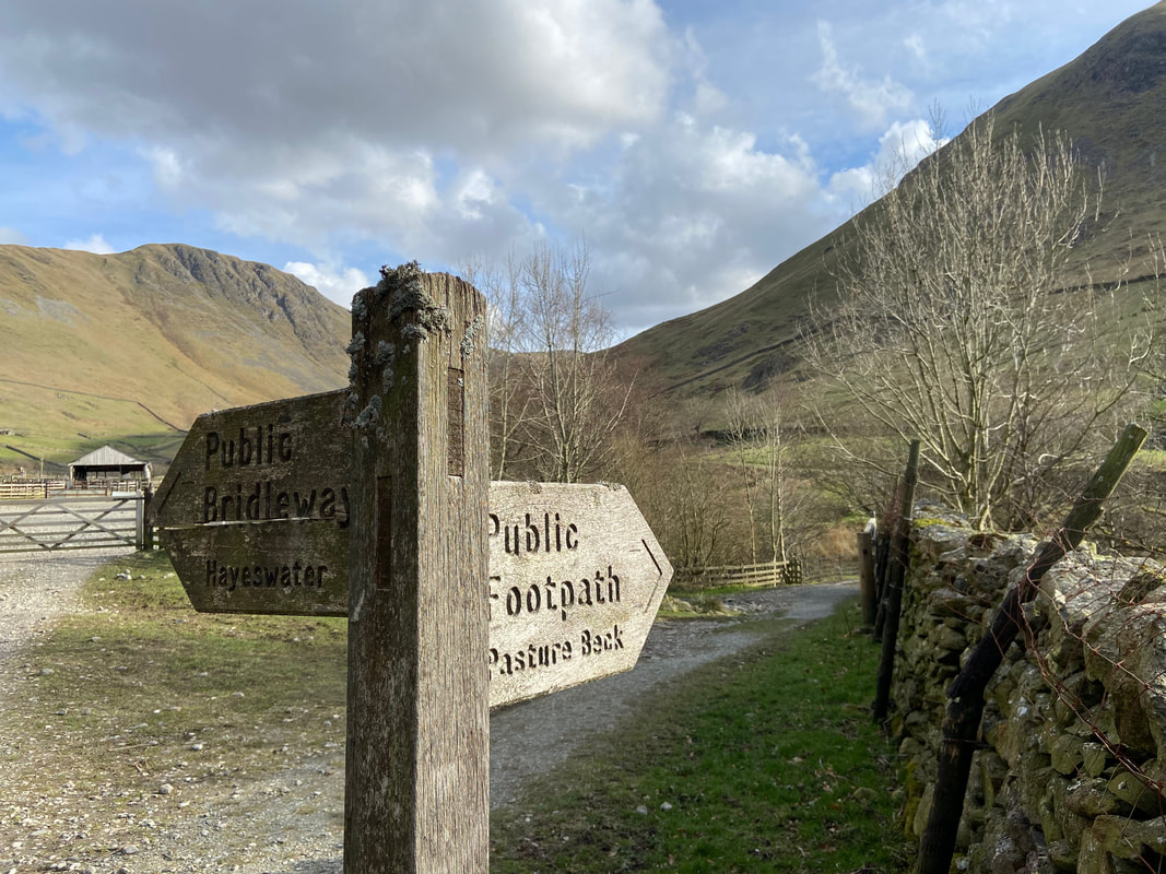
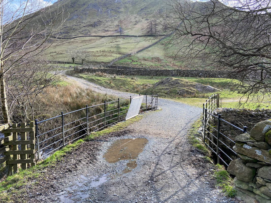
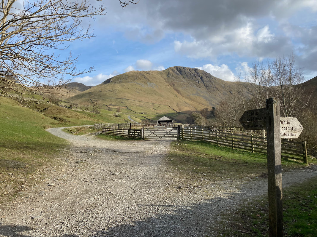
Once through the gate of the Car Park a sign points the way along to Pasture Beck which would be our route today. The route to the left leads to the reservoir of Hayeswater and is used to access Brock Crags, The Knott and the High Street ridge. Our route crosses Walker Bridge and then turns left towards Pasture Bottom in between Gray Crag & Hartsop Dodd.
Looking over to Brock Crags from the Pasture Beck path
Over to the right looms Hartsop Dodd - the ridge to the right would be our route of descent
Another view of Brock Crags with Satura Crag to the right. The zig zag path of ascent to Brock Crags via the Hayeswater Filter House can be seen making its way up the fell side.
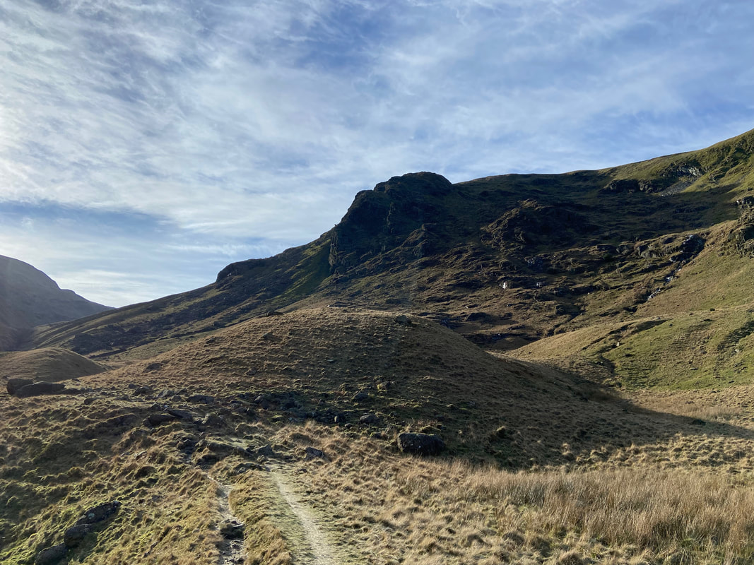
One of the many Lake District "Raven Crags" dominates the view ahead as we continue along Pasture Bottom
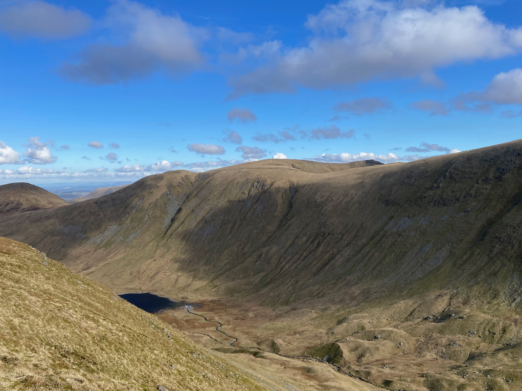
Looking back towards Hartsop from Pasture Bottom. This transit is glorious and undulates gently until it reaches Threshthwaite Cove. Locally, "Threshthwaite" is pronounced "Thresh'et".
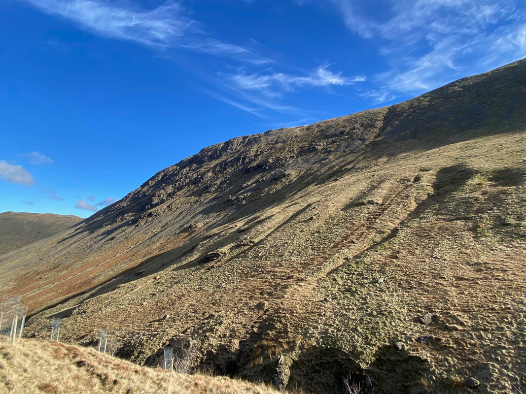
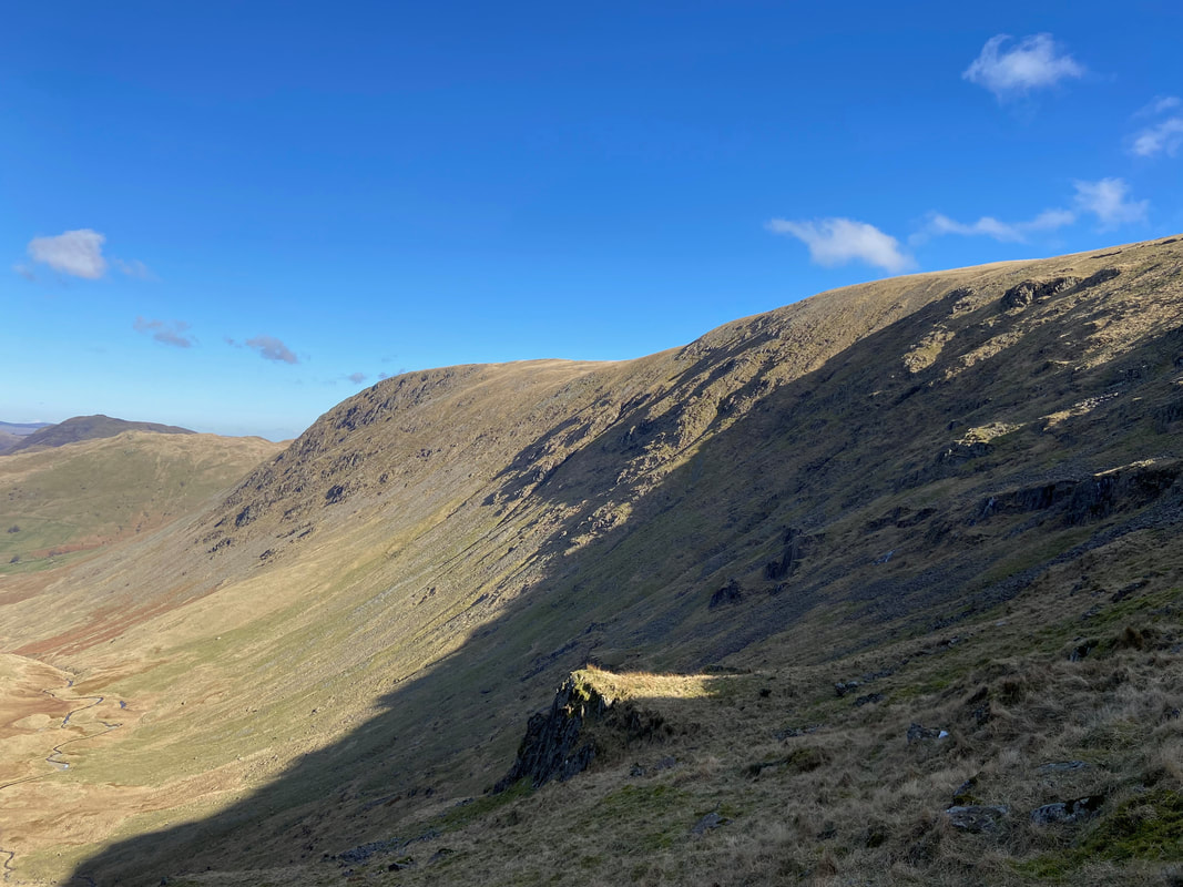
The slopes of Gray Crag above Pasture Beck
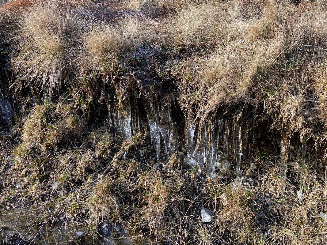
It was a bit nippy today as indicated by these icicles
Entering Threshthwaite Cove
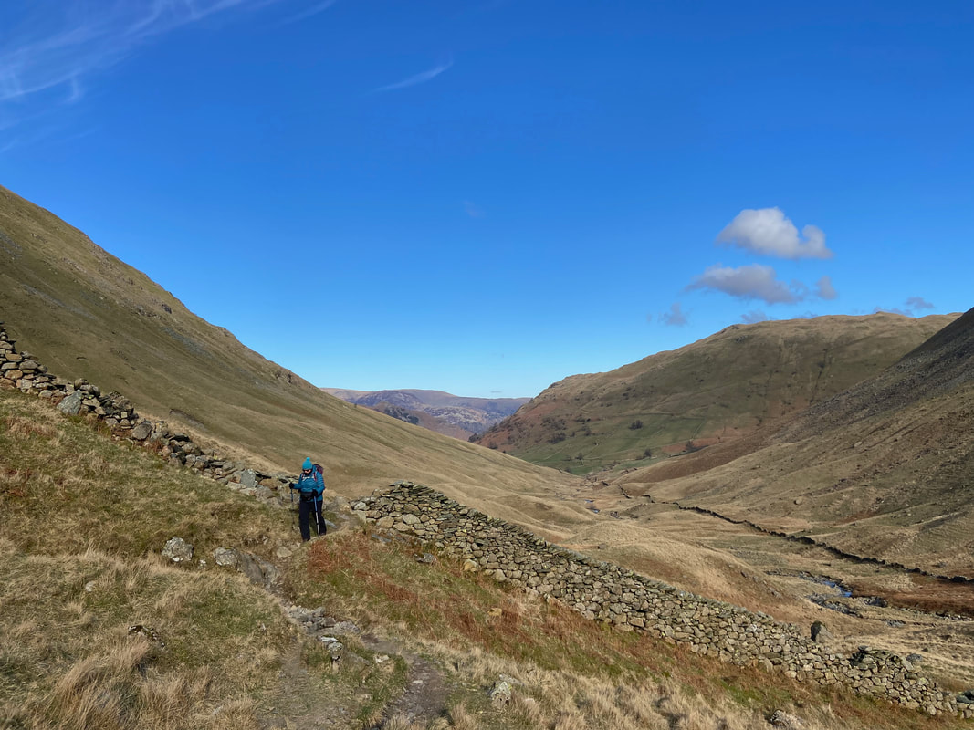
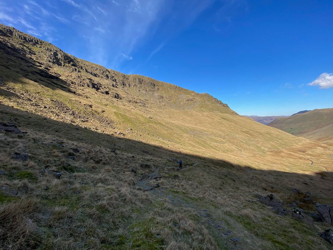
Looking back to Angie and our outward route
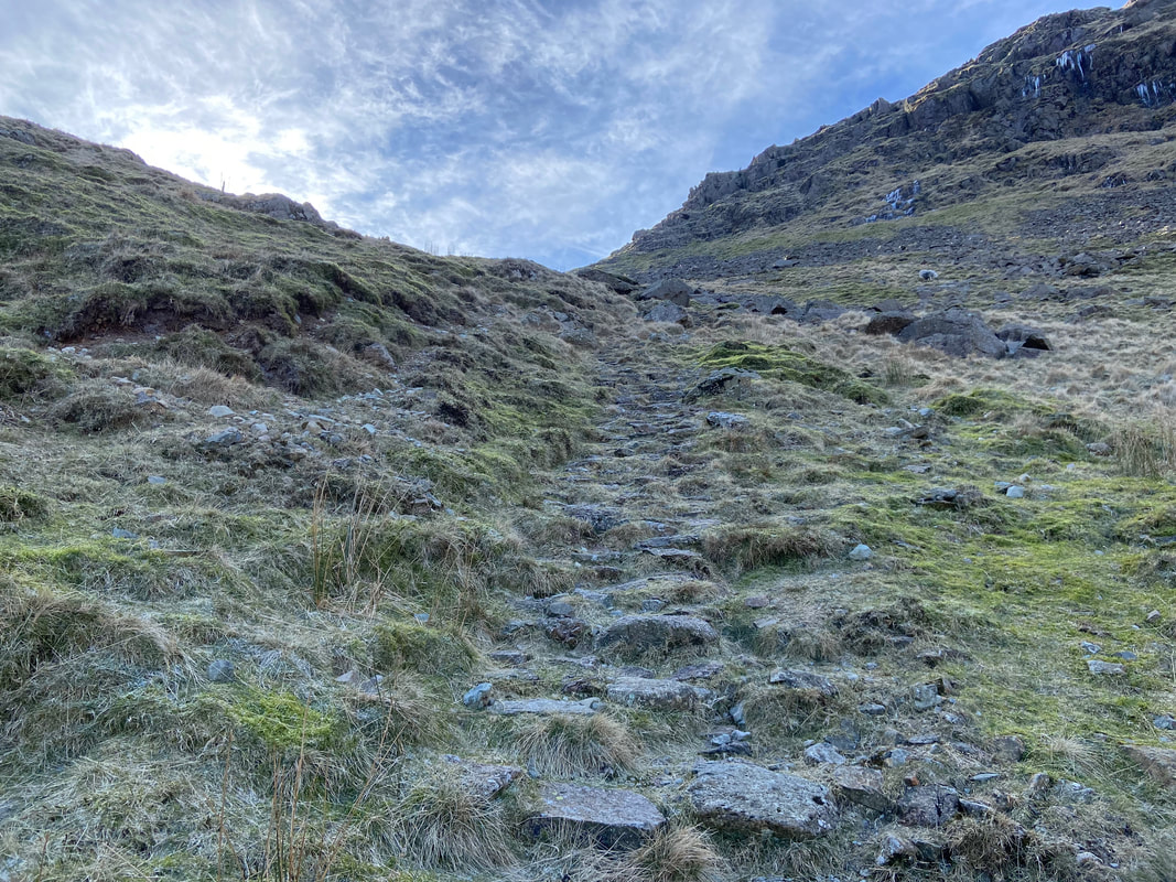
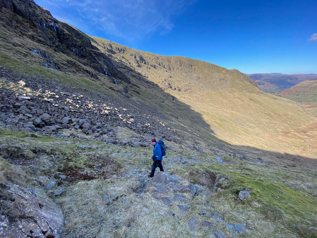
Entering Threshthwaite Cove the gradient starts to increase and the going becomes a stepped path
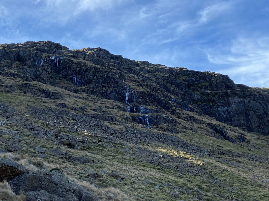
Above us below Caudale Moor are rivers of water having turned to ice
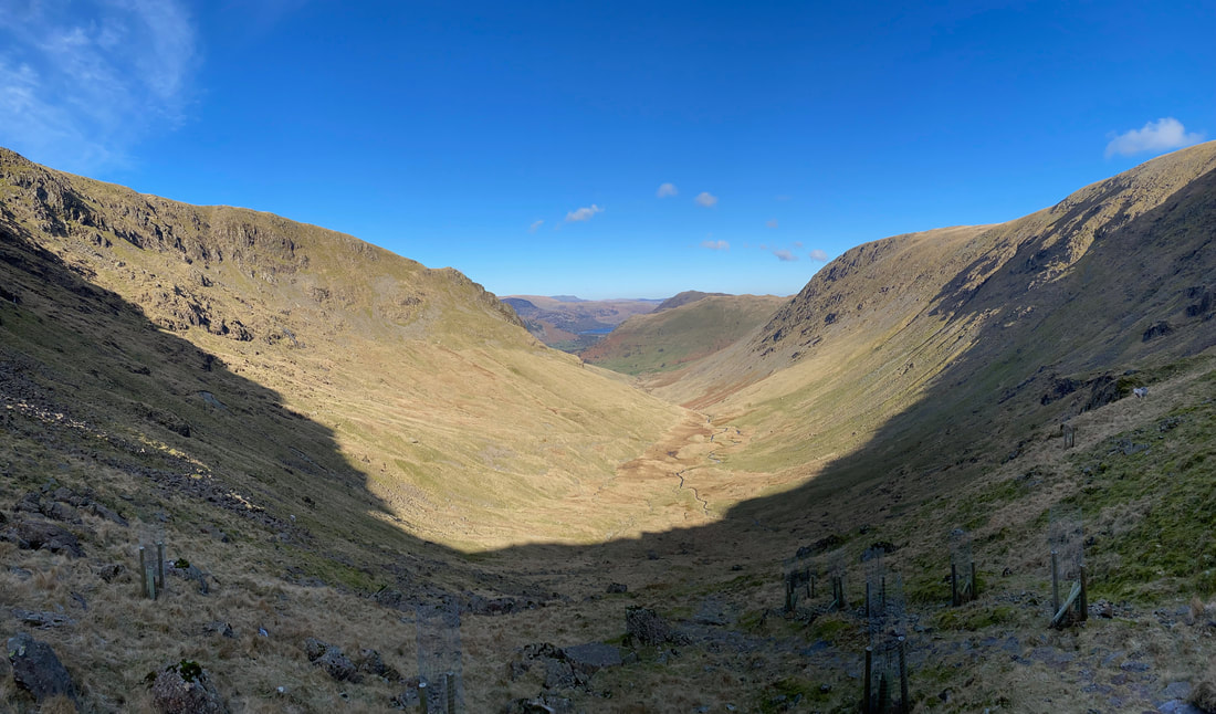
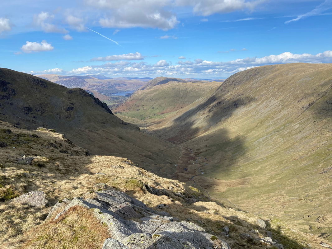
Pasture Bottom from Threshthwaite Cove
At Grid Reference NY 42551 10393 (where I am stood) the path splits - either route can be taken as both lead to Threshthwaite Mouth
Pasture Bottom from Threshthwaite Mouth with Gray Crag, Brock Crags and a distant Place Fell
Angie approaching Threshthwaite Mouth
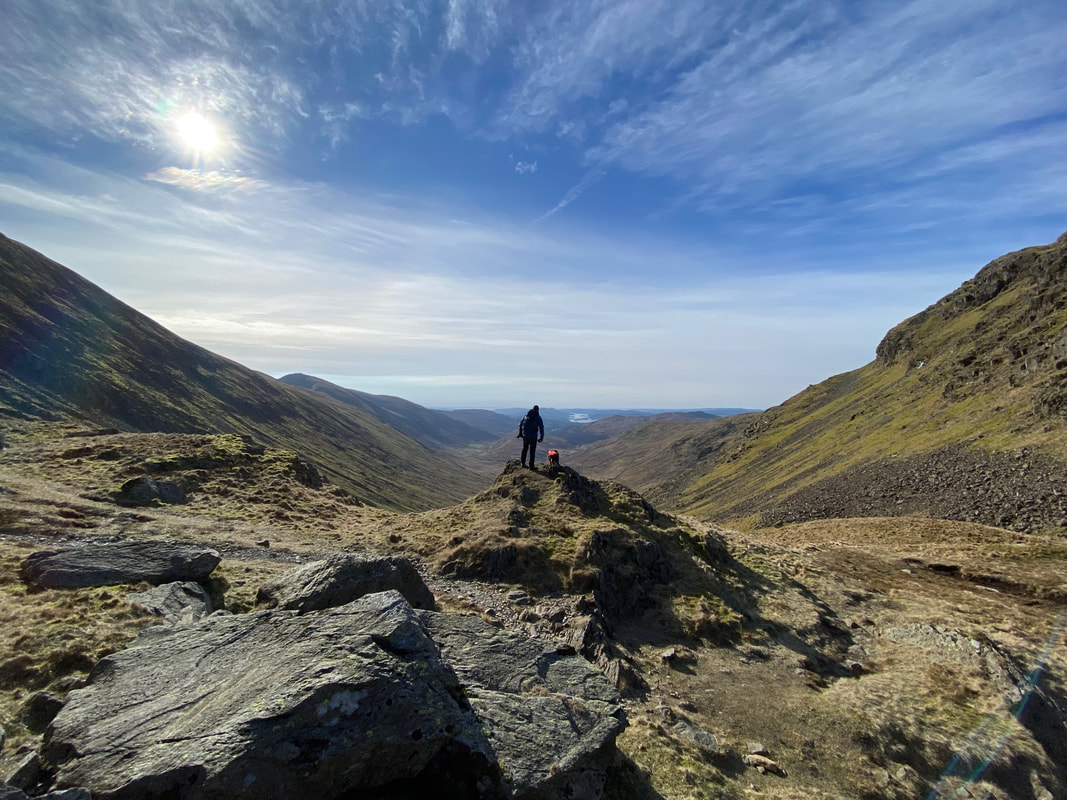
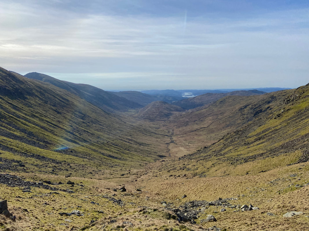
Fudge and I at Threshthwaite Mouth looking into the Troutbeck Valley and a distant Windermere
The sun hits the lens as we look into the Troutbeck Valley. Troutbeck Tongue is centre, Ill Bell & Yoke to the left and Wansfell over to the right.
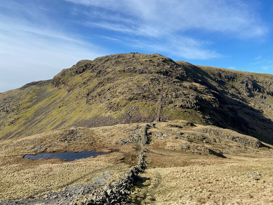
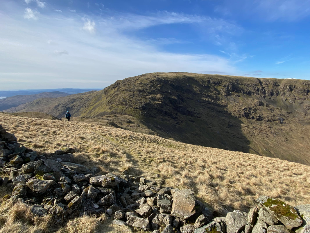
Looking to the ascent from Threshthwaite Mouth to Thornthwaite Crag. Having done this ascent many times we would be taking an alternative route to the summit via an out and back to Gray Crag, the path to which is out of sight to the left. However we would descend back to Threshthwaite Mouth directly from Thornthwaite Crag's summit, the path of which drops down to here from the right.
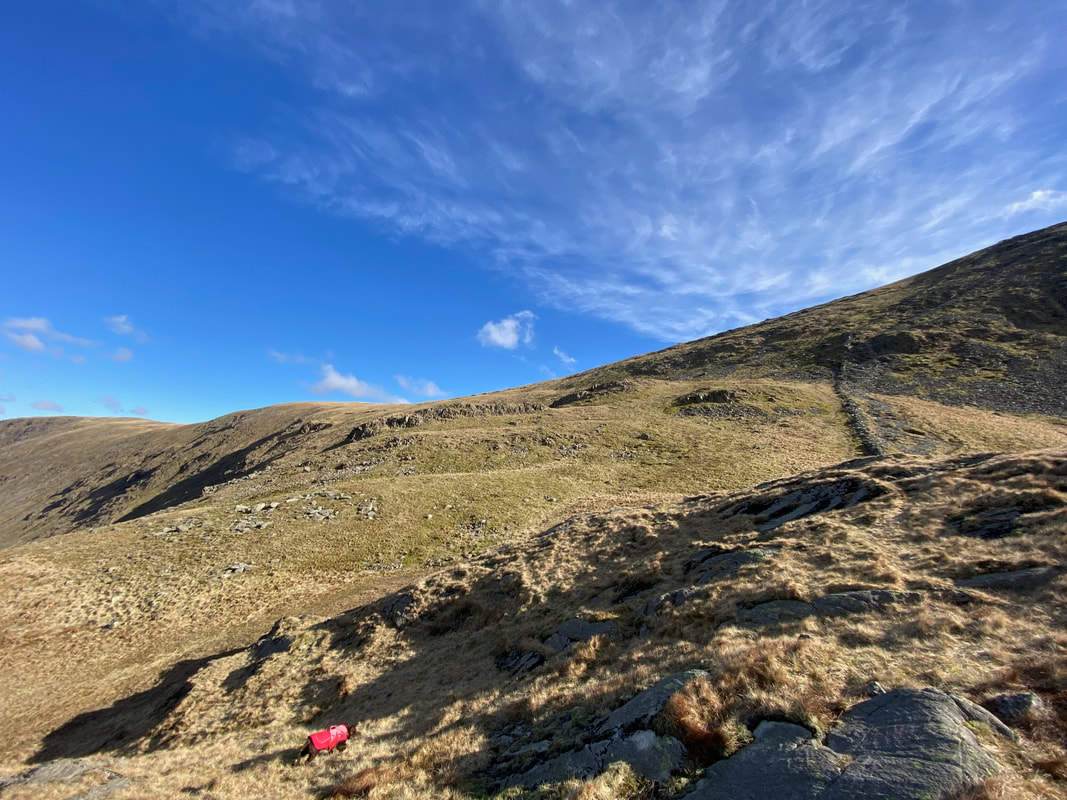
Threshthwaite Mouth and the ascent to Caudale Moor - we were saving that for later!
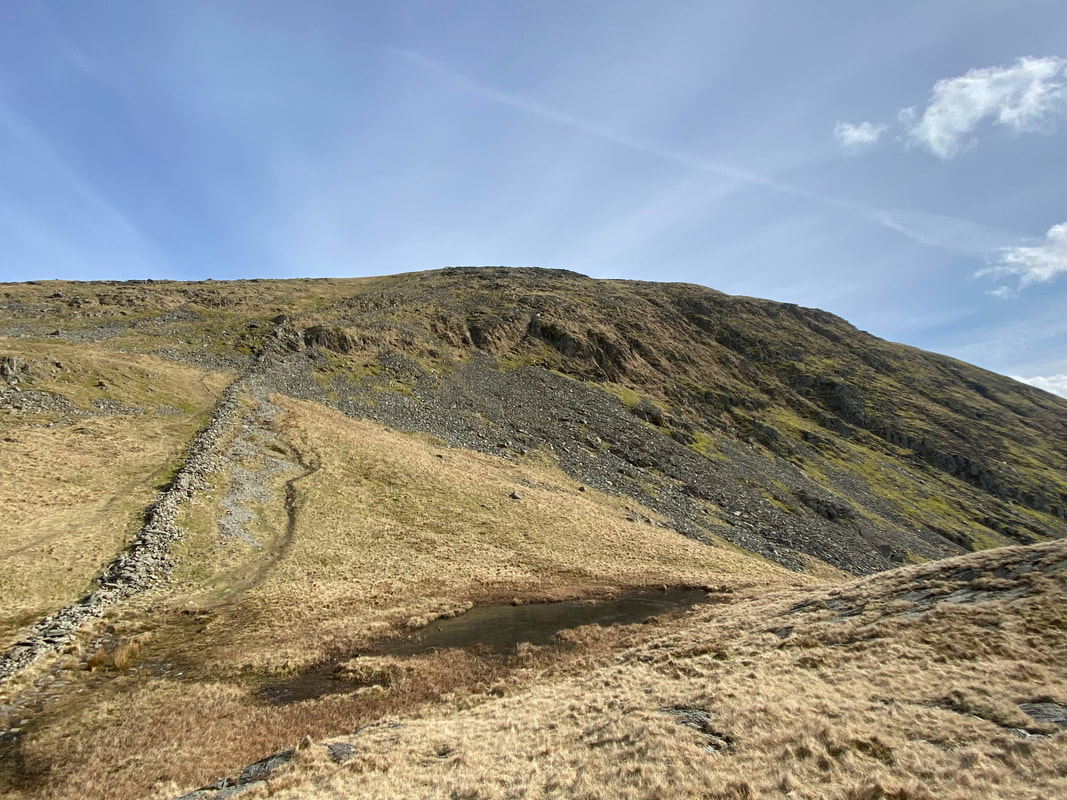
At Grid Reference NY 42806 10319 the path splits. To the left is a faint path that cuts across the grassy slopes of Thornthwaite Crag to arrive eventually at its North Top. It is then easy to make a transition along the ridge to Gray Crag. To the right is a tricky but perfectly manageable ascent to Thornthwaite Crag via a steep section of loose stones.
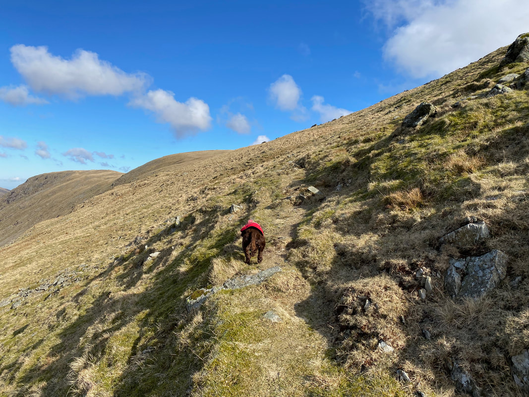
Fudge trundles on ahead as we continue on towards Thornthwaite Crag's North Top
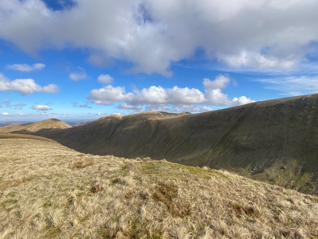
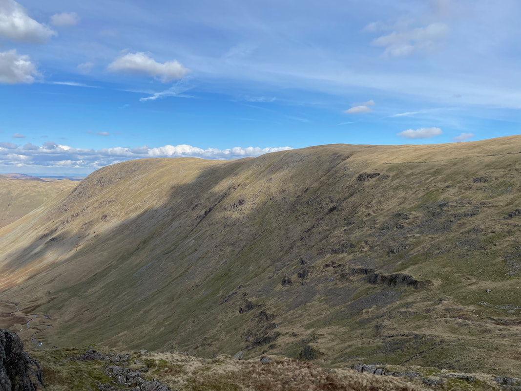
Looking to Threshthwaite Mouth & Caudale Moor with Hartsop Dodd over to the right
The path intersects the second of two broken walls as it nears the ridge between Gray Crag & Thornthwaite Crag
The path reaches the ridge line at Grid Reference NY 42984 10838. High Street is over to the right with The Knott & Rampsgill Head centre and Rest Dodd to the left.
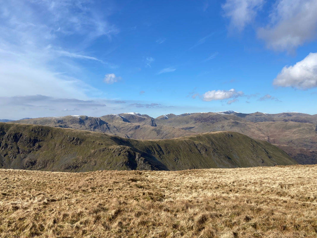
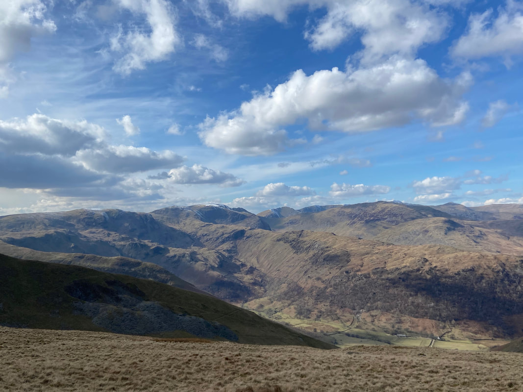
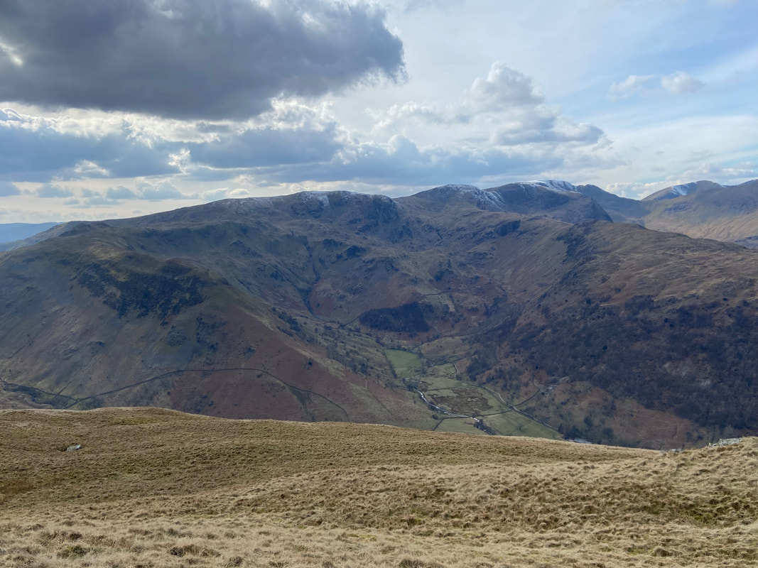
The glorious view from the ridge line to the Helvellyn & Fairfield ranges over Hartsop Dodd
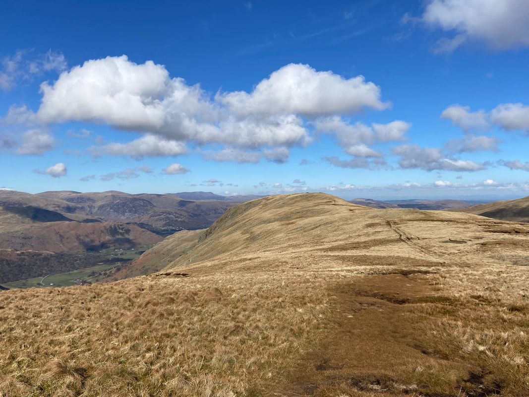
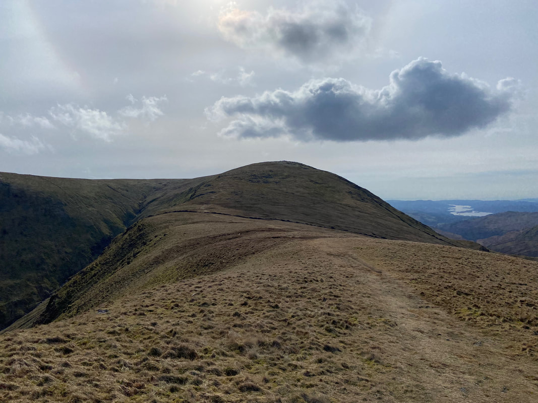
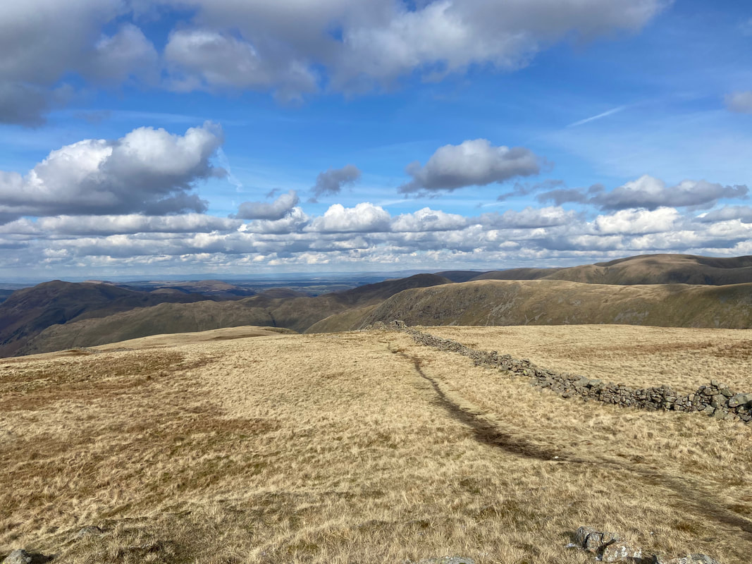
From Thornthwaite Crag North Top the relatively flat route to Gray Crag stretches away to the north
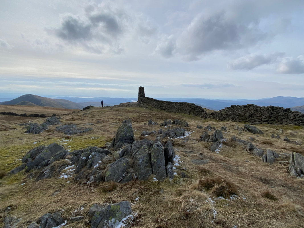
The highest point (699m) on Gray Crag. The Wainwright Summit Cairn (698m) lies 200 yards to the north just over the broken wall to the left. For the purists among you then just visit both.
Rest Dodd, The Knott & Rampsgill Head from Gray Crag. The body of water below is Hayeswater.
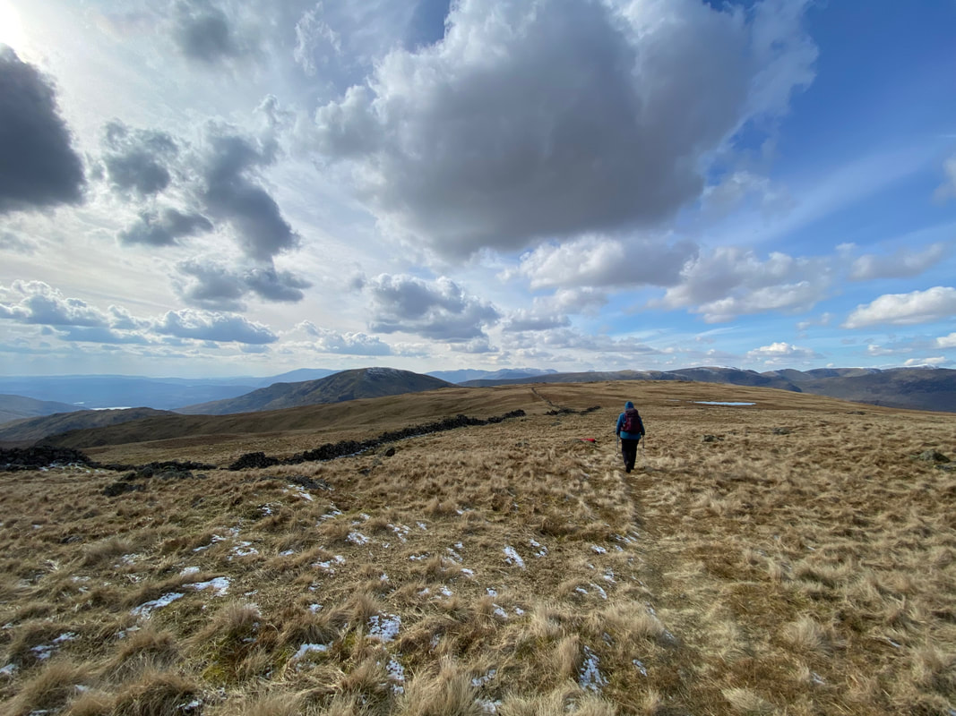
About turn! Our route back from whence we came towards Thornthwaite Crag.
Heading for Thornthwaite Crag looking back to Gray Crag - the conditions today were really good but very cold
The last few hundred yards to Thornthwaite Crag rises gently to join a wall
The summit of Thornthwaite Crag lies 45m north of the Beacon and 10m east of the wall
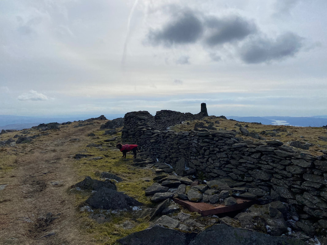
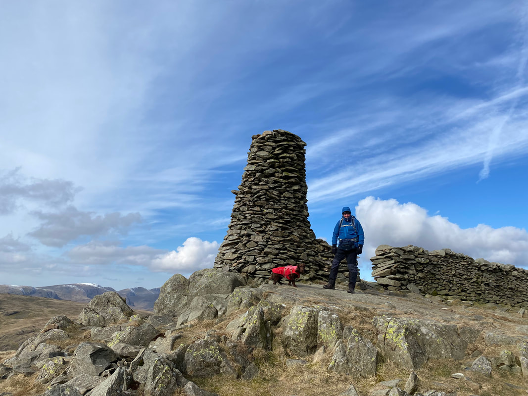
The 14ft high Thornthwaite Beacon on Thornthwaite Crag
Due north west of the Beacon a path heads to Caudale Moor
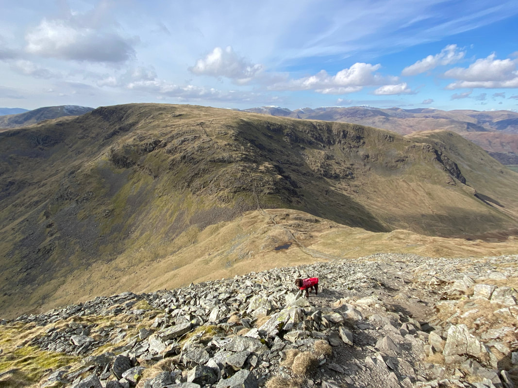
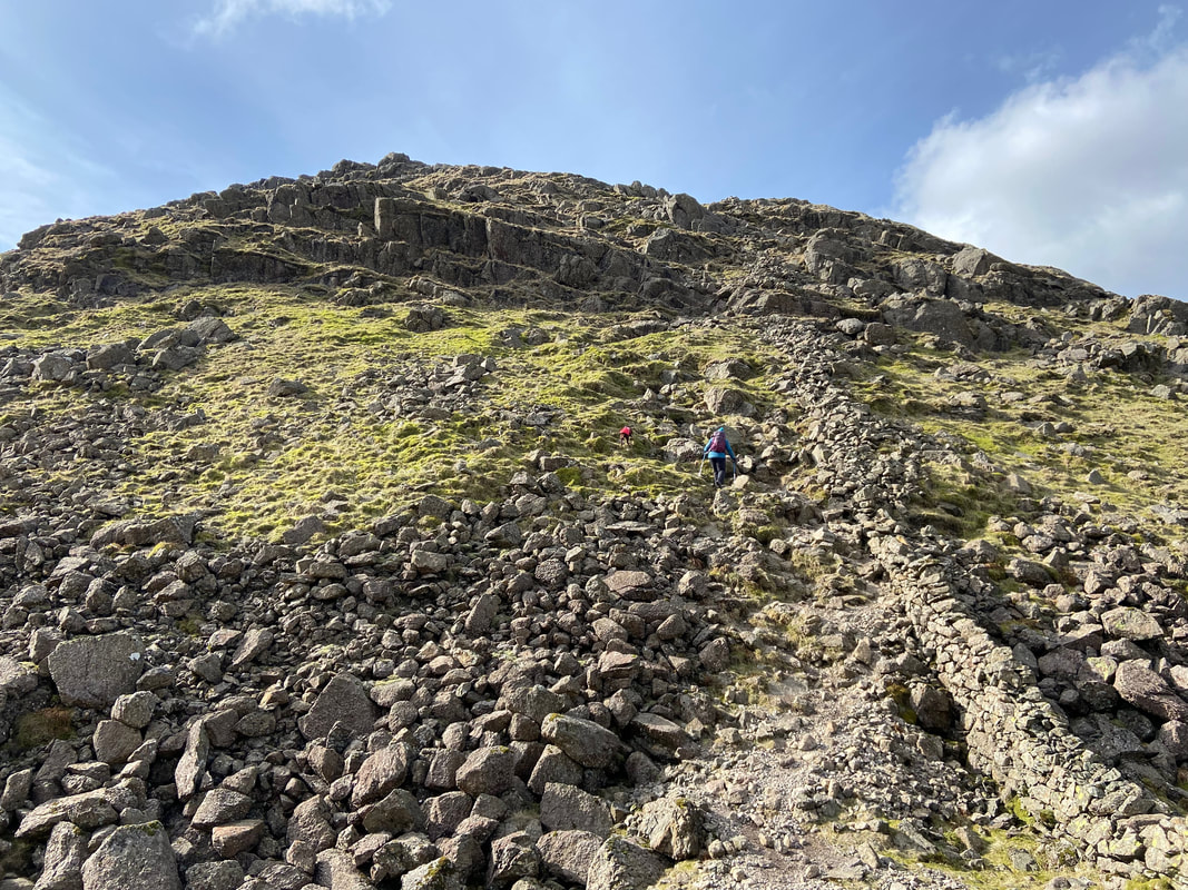
The path to Threshthwaite Mouth from Thornthwaite Crag. The path is steep and over loose stone therefore care needs to be taken, particularly in wet or icy conditions.
The view from the descent to Threshthwaite Mouth (Click Play to view)
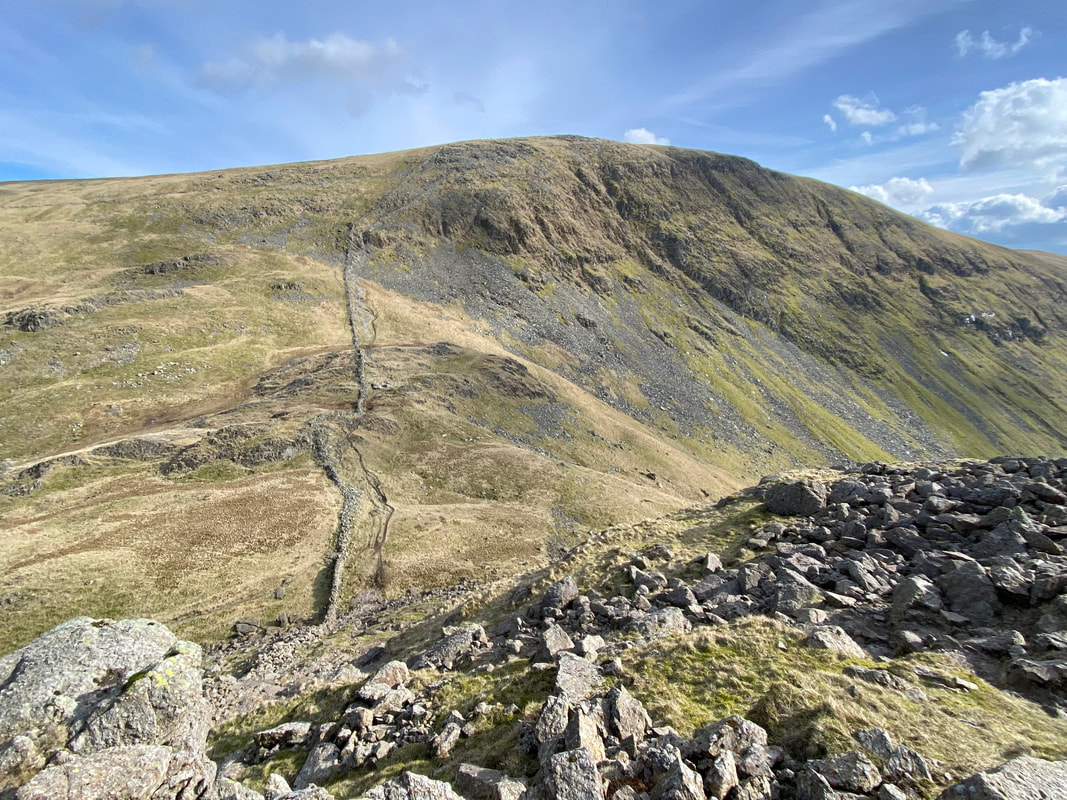
Looking back to our descent from Thornthwaite Crag
After a brief stop for lunch we started the scramble from Threshthwaite Mouth to Caudale Moor. Whilst steep in ascent the climb is not difficult, simply handrail the wall and up you go.
Threshthwaite Mouth & Thornthwaite Crag from the ascent of Caudale Moor
A freshly groomed Fudge poses as we make our ascent
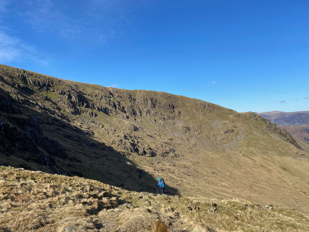
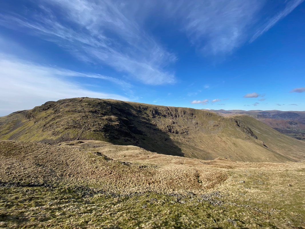
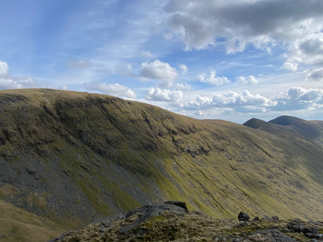
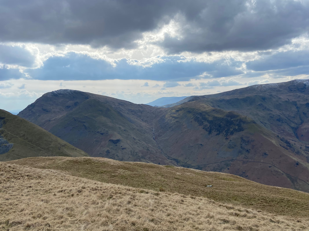
Gray Crag across Threshthwaite Cove and Pasture Bottom
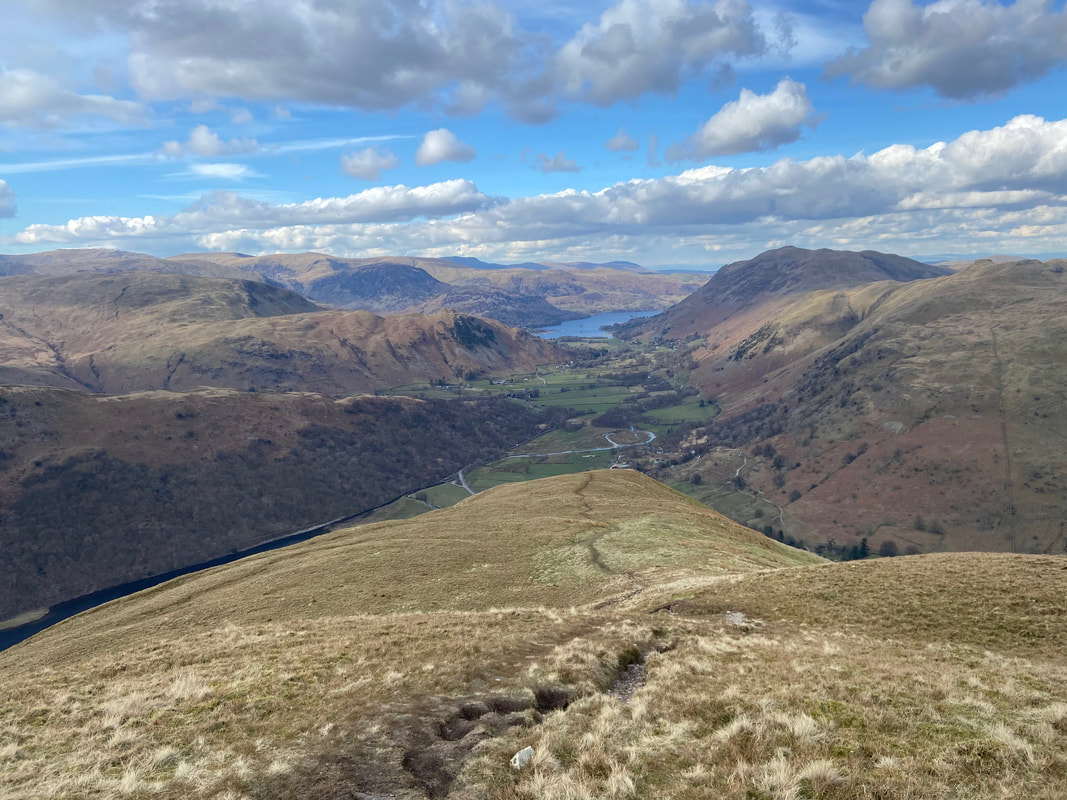
Looking down Pasture Bottom to our outward route, Brock Crags, Place Fell & Ullswater
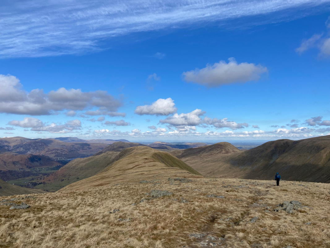
Four in a row - with the Troutbeck Valley to the right we look over to Thornthwaite Crag, Froswick, Ill Bell & Yoke
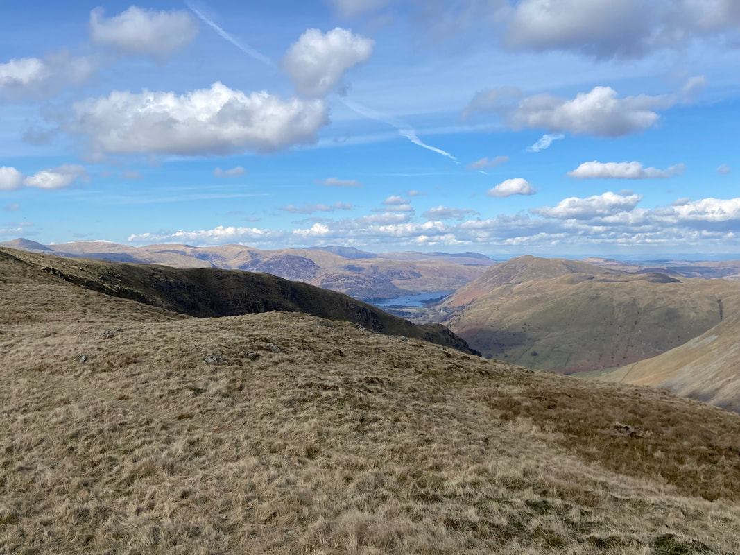
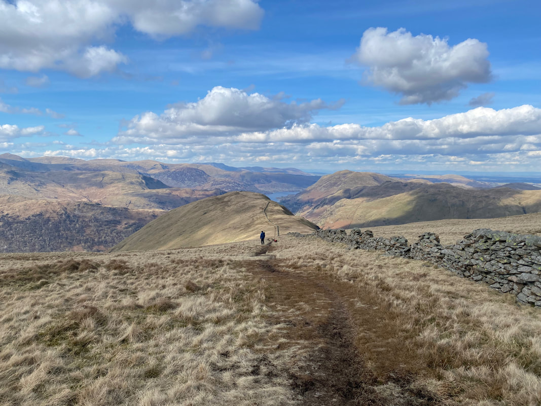
At the top of the scramble the gradient levels out to reveal a glorious view north to Ullswater
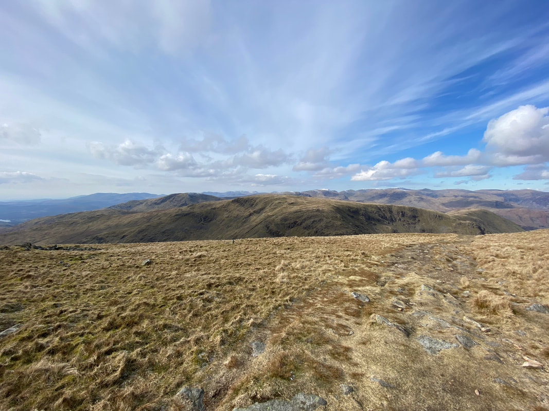
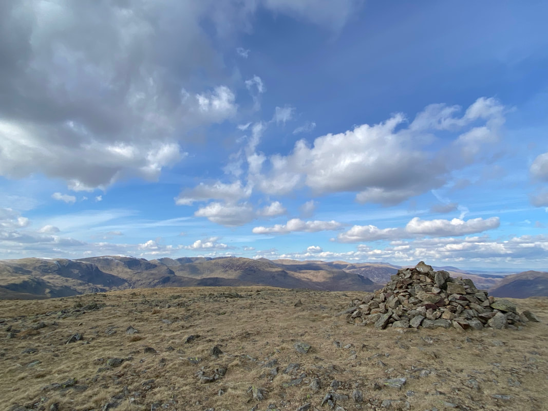
The summit of Caudale Moor, Stony Cove Pike looking over to Red Screes
There is considerable variation over use of the alternative names for the fell. The Ordnance Survey name the main summit as 'Stony Cove Pike', the second top to the west as Caudale Moor and John Bell's Banner is reserved for the south west ridge descending to St Raven's Edge. Wainwright described the summit as "a dreary plateau of considerable extent" (Caudale Moor 8) - I think he may have been a tad harsh.
There is considerable variation over use of the alternative names for the fell. The Ordnance Survey name the main summit as 'Stony Cove Pike', the second top to the west as Caudale Moor and John Bell's Banner is reserved for the south west ridge descending to St Raven's Edge. Wainwright described the summit as "a dreary plateau of considerable extent" (Caudale Moor 8) - I think he may have been a tad harsh.
From Stony Cove Pike it is easy to simply turn right and follow the wall down to Hartsop Dodd. However, as it was a lovely day we were off to John Bell's Banner and the Atkinson Monument.
The summit of John Bell's Banner
John Bell was the curate of Ambleside in the 16th century and the fell was the "banner" or boundary of the sphere of his ministrations.
John Bell was the curate of Ambleside in the 16th century and the fell was the "banner" or boundary of the sphere of his ministrations.
The view from John Bell's Banner (Click Play to view)
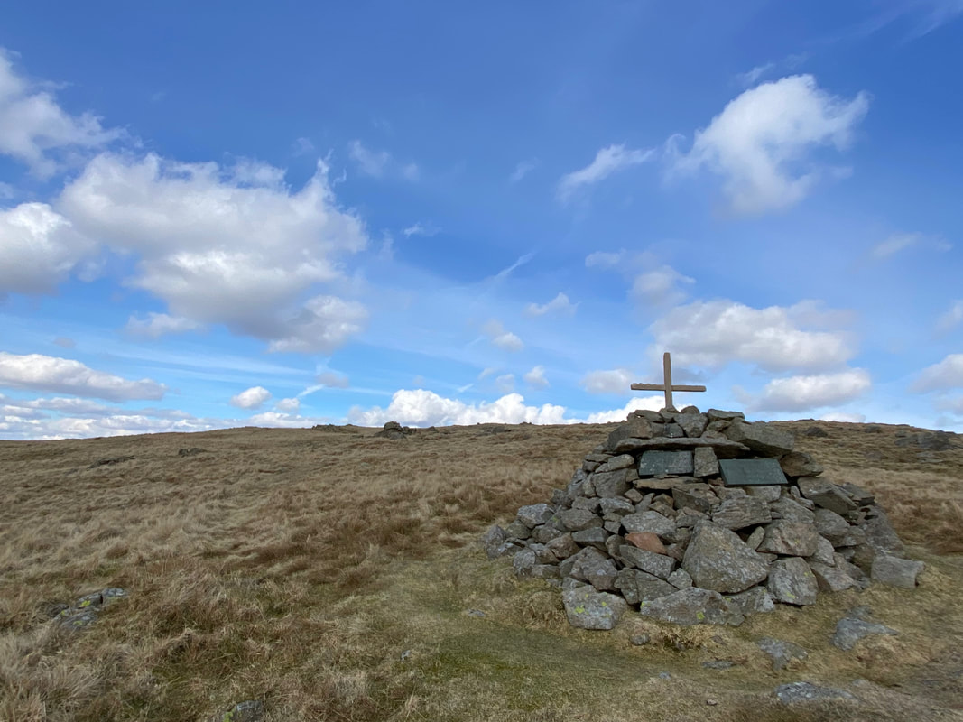
A few hundred yards to the south west of the cairn on John Bell's Banner is the Atkinson Memorial marked as a "Monument" on the OS Map. There are two small stone plaques and a cross set into the cairn in memory of Mark Atkinson and his son William who died in 1930 and 1987 respectively. The family ran the Kirkstone Pass Inn for many years having purchased it in 1914 and on a good day the Inn can be seen from the monument.
Leaving the monument we returned to John Bell's Banner and then headed over to join the wall coming down from Stony Cove Pike
The route to Hartsop Dodd handrails the wall all the way to the summit
Dove Crag, the Fairfield & Helvellyn ranges and Hartsop above How from Hartsop Dodd
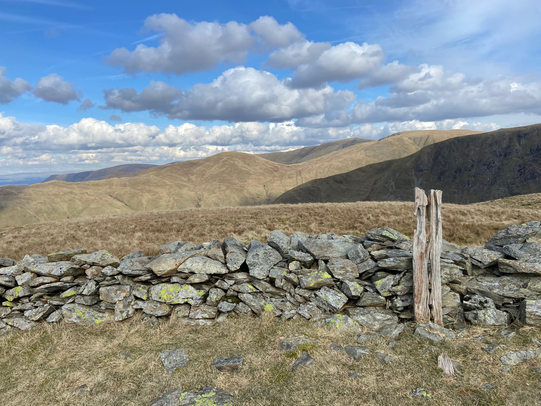
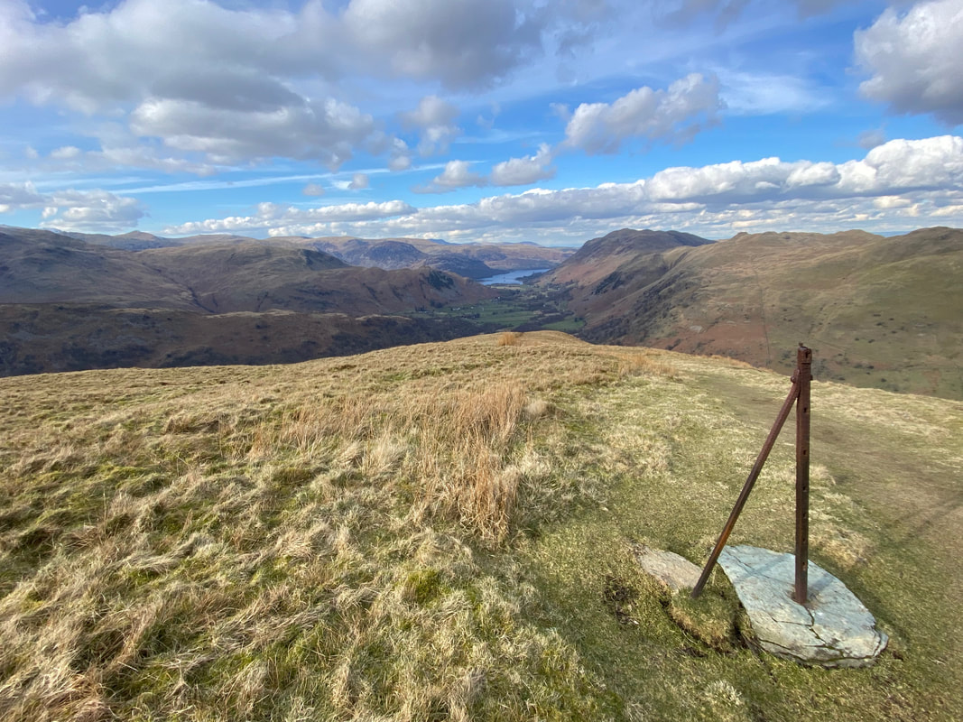
Wainwright made reference to this fence post as being the summit of Hartsop Dodd although he also states that there is higher ground nearby to the north. It is amazing that the post is still there 67 years after he originally drew it (Hartsop Dodd 3). In the distance are Rest Dodd, High Raise, The Knott & Rampsgill Head.
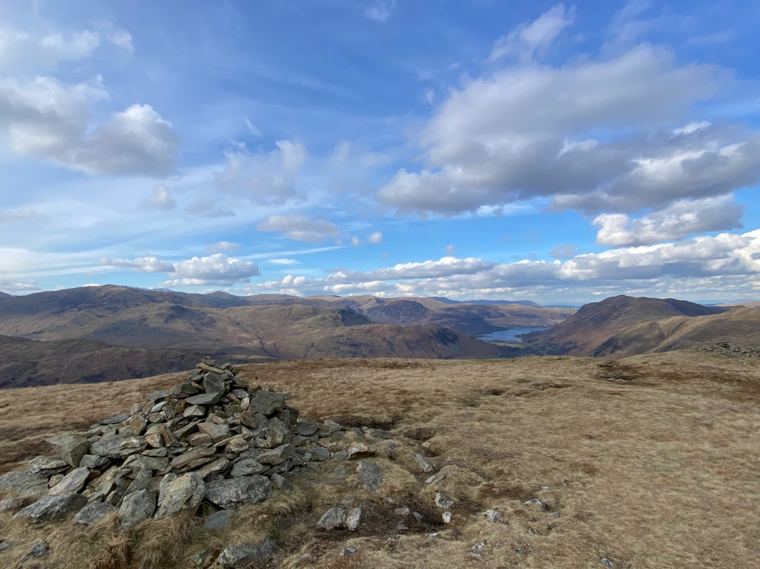
A few yards to the west of the highest point on Hartsop Dodd is a large cairn
Dovedale from Hartsop Dodd
Red Screes, Middle Dodd, Calston Beck & High Hartsop Dodd
Leaving the summit the descent to Hartsop is extremely steep but look at those views
Evidence of days gone by as we continue the steep descent
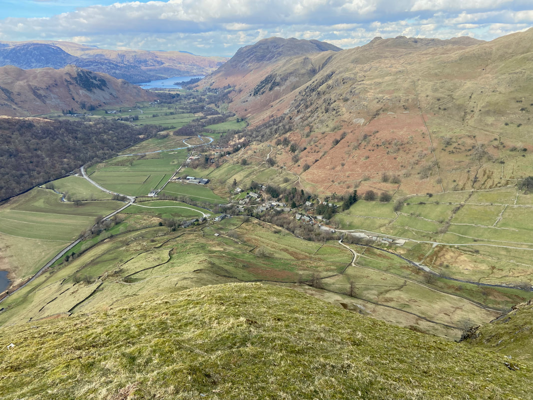
The steepness continues as we near Hartsop which can be seen below
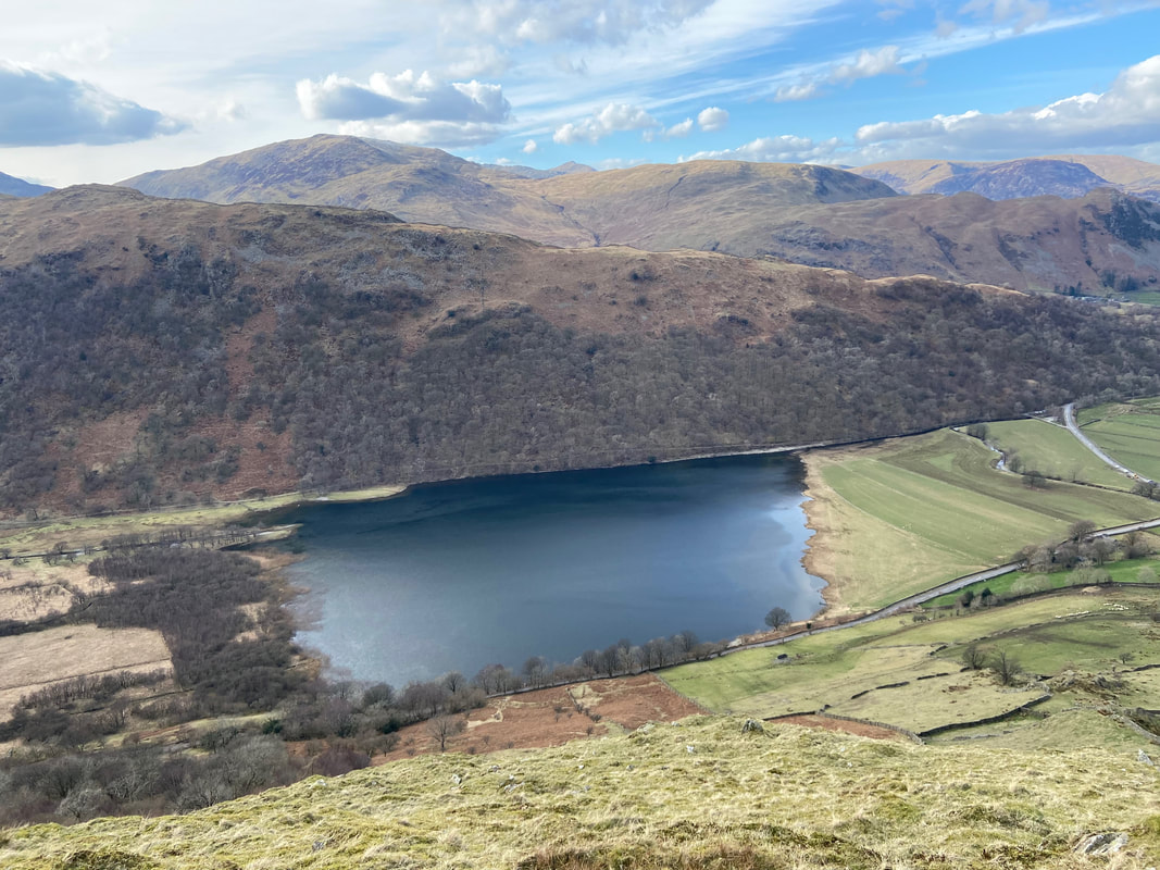
Brothers Water below Hartsop above How
Place Fell, Angletarn Pike & Brock Crags
Crossing Walker Bridge at the end of a superb days walking
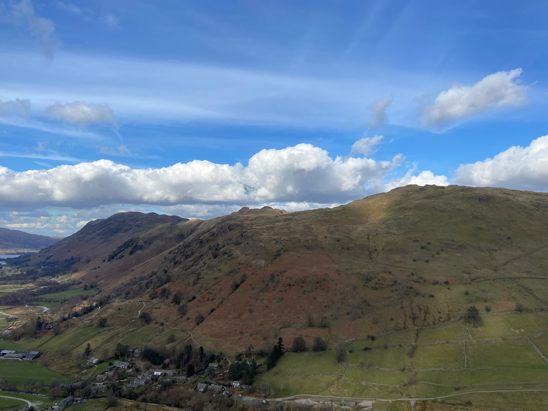
A last look at Gray Crag from the Car Park entrance
