Kinder Scout & Crowden Tower - Monday 17 September 2012
Route
Barber Booth - Upper Booth - Jacob's Ladder - Kinder Low - Kinder Downfall - Crowden Tower - Crowden Clough - Edale - Barber Booth
Parking
We started the walk directly from our accommodation in Barber Booth however the Car Park (free) is nearby at Grid Ref SK 1077 8474. The nearest Postcode is S33 7ZJ.
Mileage
10 miles
Terrain
Good moorland paths however Kinder has the reputation of being boggy and today was no exception.
Weather
Overcast with some sunny spells.
Time Taken
5hrs
Total Ascent
1837ft (560m)
Map
OL1 The Peak District (Dark Peak Area)
Walkers
Dave & Angie
|
GPX File
|
| ||
If the above GPX file fails to download or presents itself as an XML file once downloaded then please feel free to contact me and I will send you the GPX file via e-mail.
Route Map
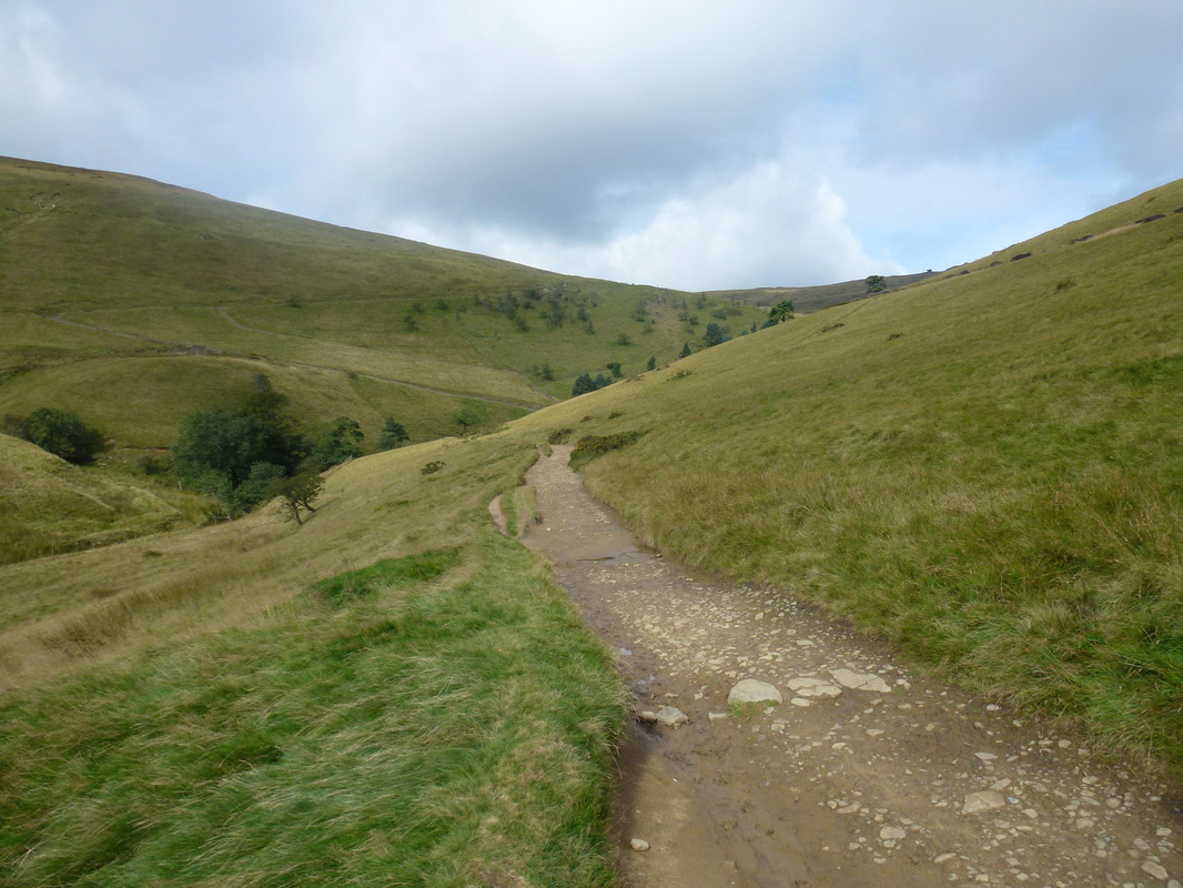
From Upper Booth we followed The Pennine Way towards Jacob's Ladder
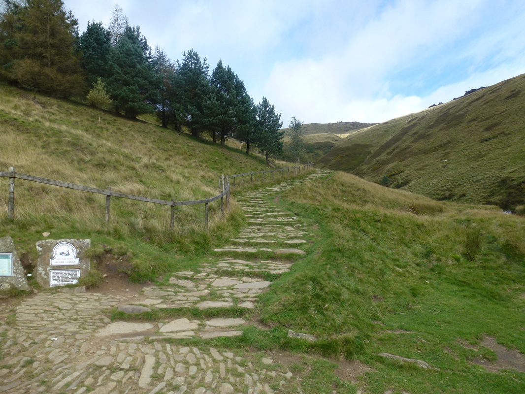
The start of Jacob's Ladder at the Packhorse Bridge crossing the River Noe.
Jacob's Ladder is a bridleway between the plateau of Kinder Scout and the hamlet of Upper Booth in the Vale of Edale. In the 18th century Jacob Marshall farmed the land at Edale Head, at the top of what became known as Jacob's Ladder. He cut steps into this steep section of the route up to the Kinder plateau. Jacob's Ladder is also a biblical term referring to the ladder to heaven which Jacob dreamt about in the Old Testament Book of Genesis.
Jacob's Ladder is a bridleway between the plateau of Kinder Scout and the hamlet of Upper Booth in the Vale of Edale. In the 18th century Jacob Marshall farmed the land at Edale Head, at the top of what became known as Jacob's Ladder. He cut steps into this steep section of the route up to the Kinder plateau. Jacob's Ladder is also a biblical term referring to the ladder to heaven which Jacob dreamt about in the Old Testament Book of Genesis.
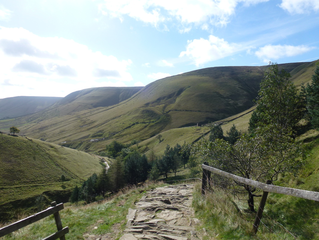
Looking back down to the River Noe from Jacob's Ladder. Brown Knoll is to the right with Rushup Edge in the distance.
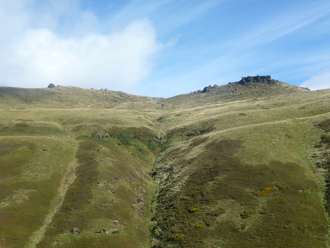
Looking over The Cloughs to Pym Chair & Crowden Tower
From near the top of Jacob's Ladder we had a good view over to our return route of Crowden Tower & Grindsbrook Knoll
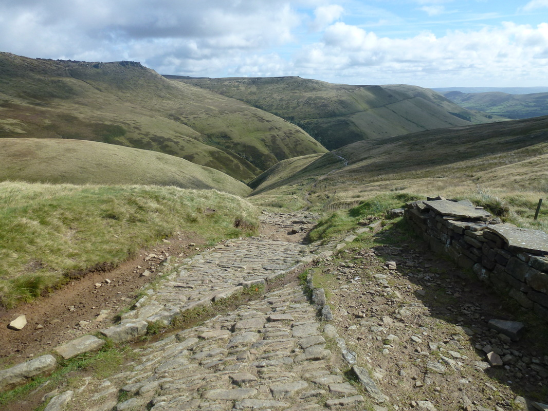
Our route to Kinder Downfall stretches out in front of us
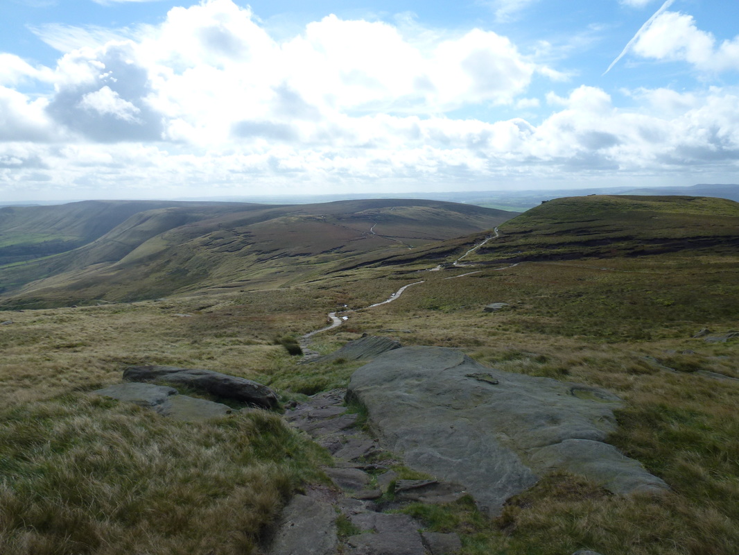
Approaching the summit of Kinder Low
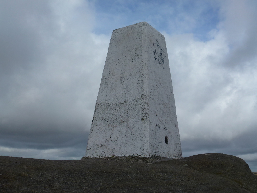
The summit of Kinder Low (633m)
Many people who walk Kinder Scout automatically think that this Trig Point atop a large gritstone boulder is the summit of Kinder Scout. Unfortunately, the summit lies half a mile to the north east on the 636m spot height at Grid Ref SK 08484 87560.
Many people who walk Kinder Scout automatically think that this Trig Point atop a large gritstone boulder is the summit of Kinder Scout. Unfortunately, the summit lies half a mile to the north east on the 636m spot height at Grid Ref SK 08484 87560.
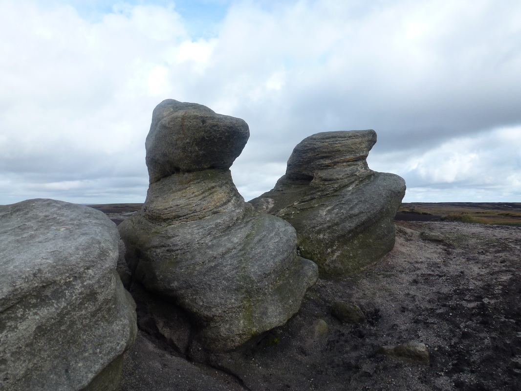
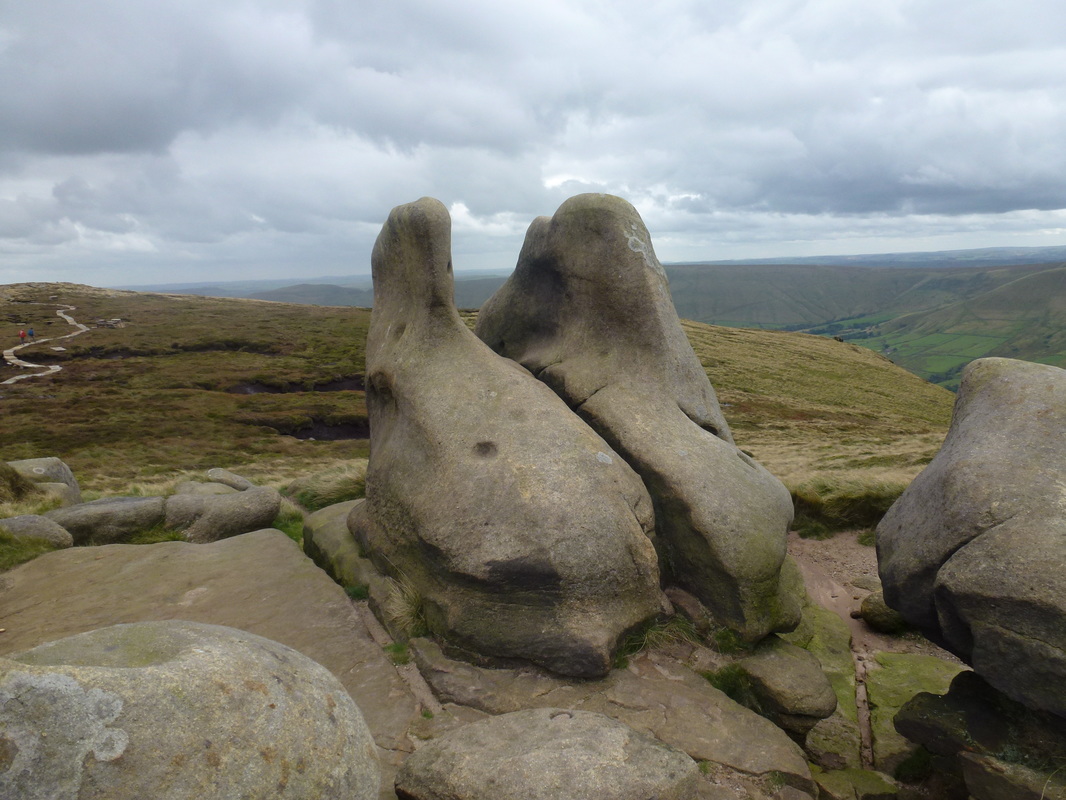
The weathered gritstone outcrops in and around Kinder Low
There were plenty of weathered gritstone about these parts
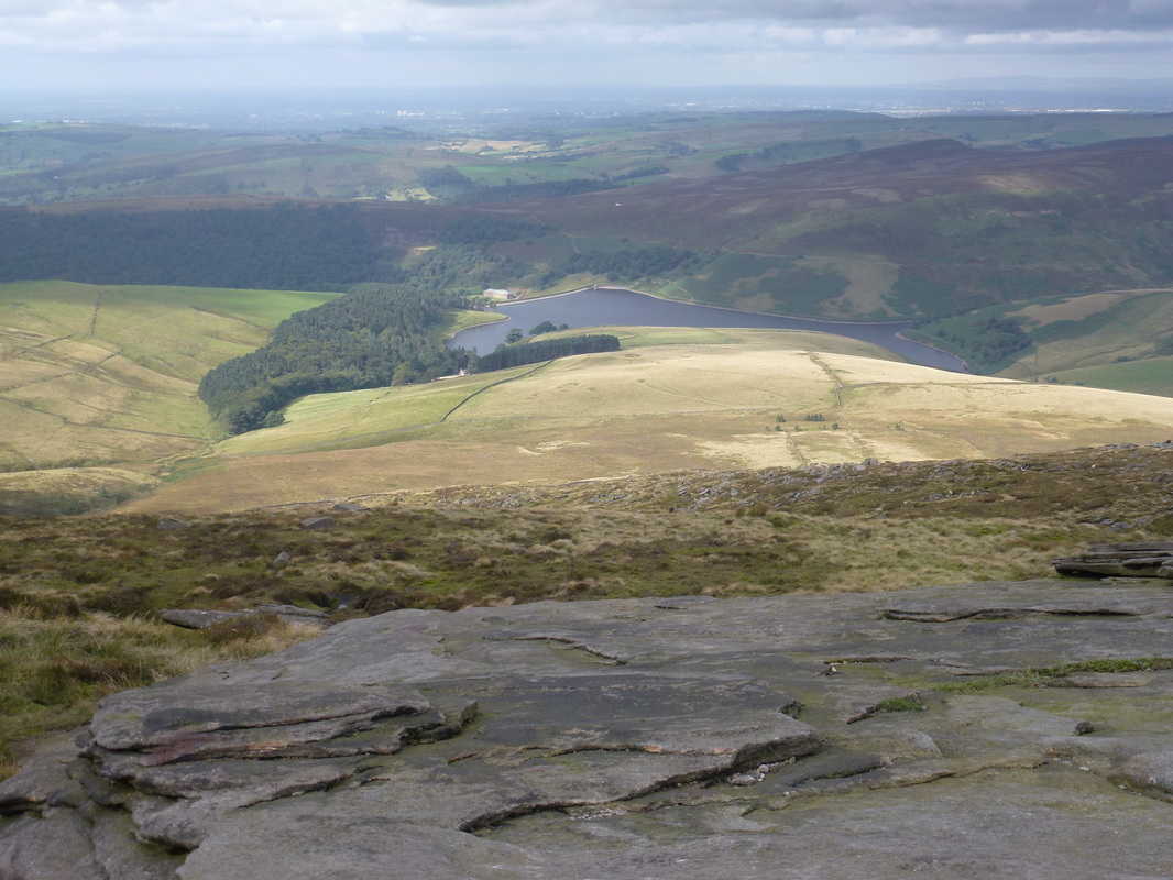
Kinder Reservoir from near Kinder Downfall
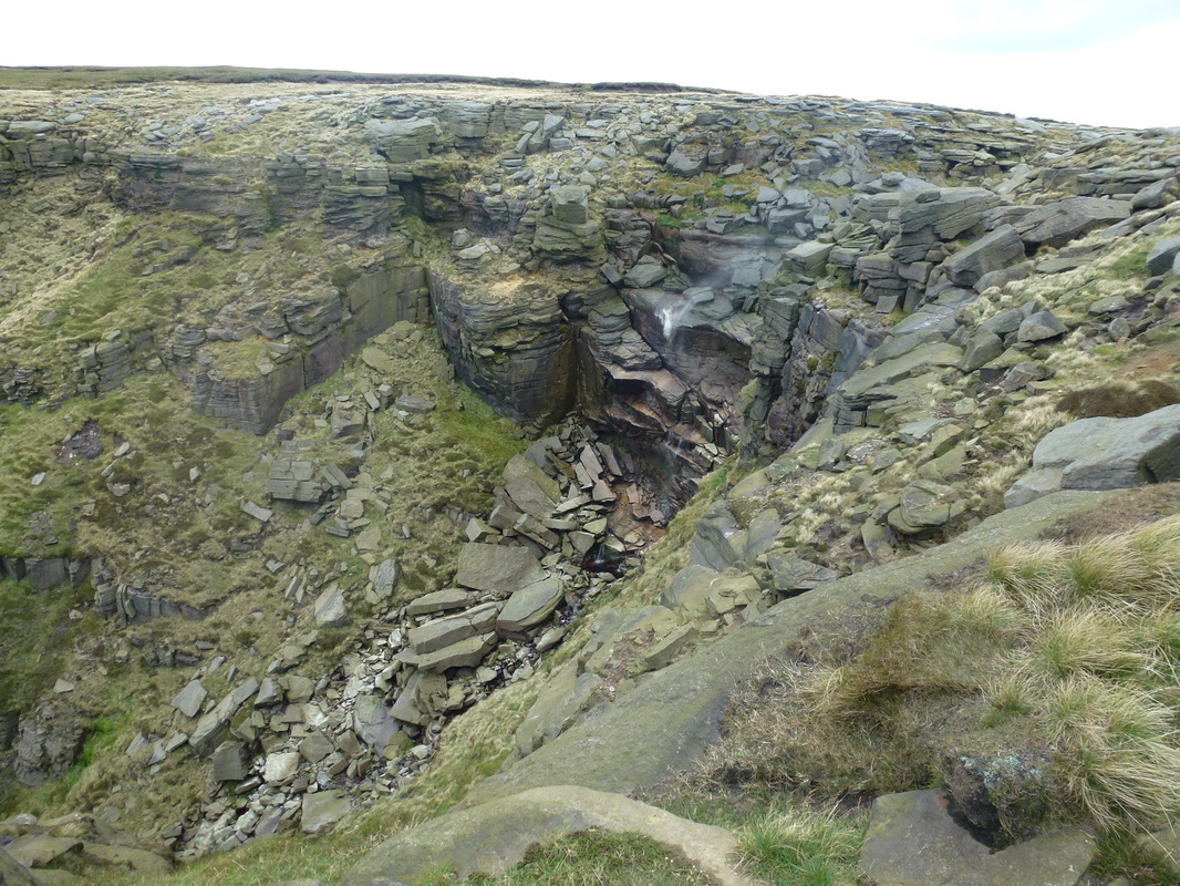
Kinder Downfall
Not much water flows off the downfall however in strong winds the water blows back on itself, creating a steam cloud that can be seen from miles around.
Not much water flows off the downfall however in strong winds the water blows back on itself, creating a steam cloud that can be seen from miles around.
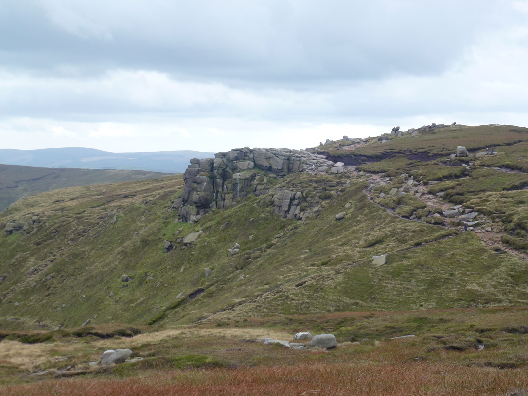
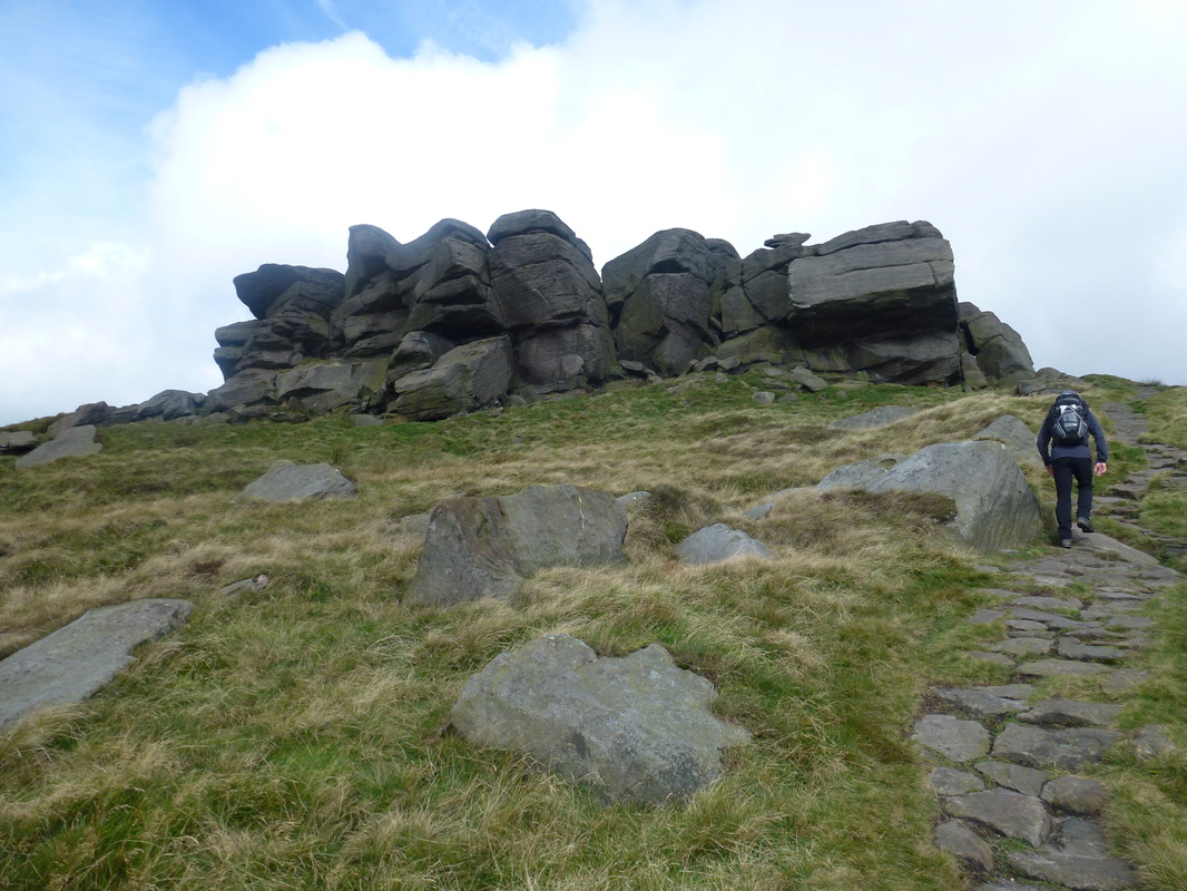
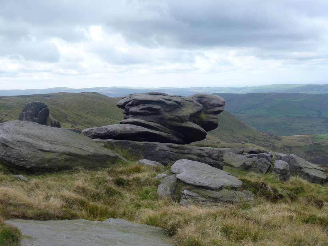
Crowden Tower
More weathered gritstone outcrops, this time near Crowden Tower
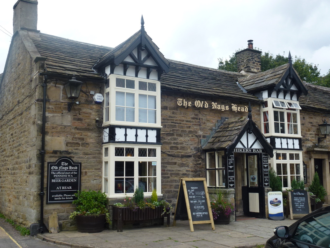
The Old Nags Head in Edale - the official start (or end) of The Pennine Way