Blake Fell & Burnbank Fell - Thursday 1 September 2022
Route
Cross Rigg - Low Pen - High Pen - Fothergill Head - Blake Fell - Carling Knott - Loweswater End - Burnbank Fell - Sharp Knott - Cross Rigg
Parking
Verge parking at Cross Rigg on the Lamplugh/Ennerdale road (Cauda Brow) - Grid Ref NY 0871 1820. The nearest postcode is CA26 3YE.
Mileage
8.6 miles
Terrain
Good mountain tracks and forest tracks for the most part. The terrain from Carling Knott to Burnbank Fell is pathless until the path between Blake Fell & Burnbank Fell is reached.
Weather
Sunny and warm with light breezes.
Time Taken
3hrs 45mins
Total Ascent
1637ft (499m)
Wainwrights
2
Map
OL4 The English Lakes (North Western Area)
Walkers
Dave & Fudge
|
GPX File
|
| ||
If the above GPX file fails to download or presents itself as an XML file once downloaded then please feel free to contact me and I will send you the GPX file via e-mail.
Route Map
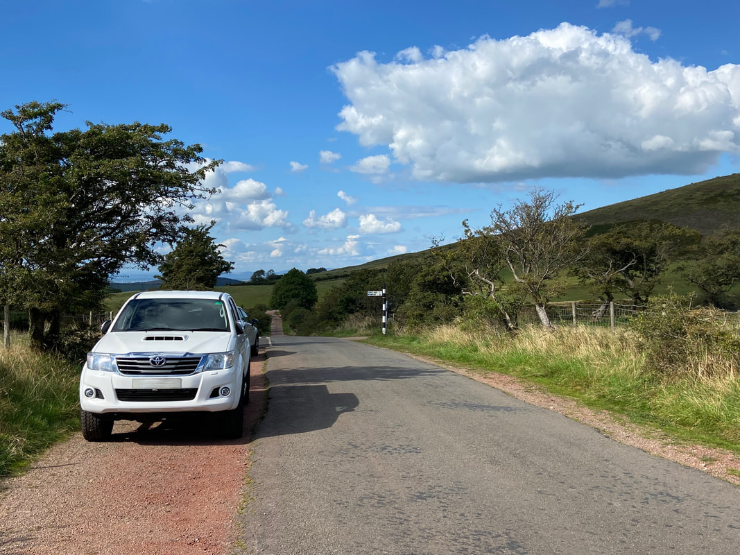
Just Fudge and I out today as Mrs W was having her hair done in Frizington. This is a fairly local walk for us therefore it was nice to have just a short drive today. The parking area is at Cross Rigg on the Lamplugh to Ennerdale road and in my opinion is the best starting point for Blake Fell.
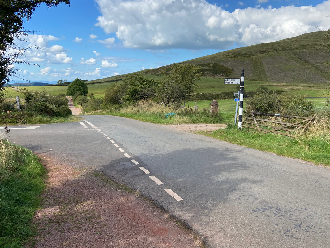
The walk starts by heading back down the road towards Lamplugh
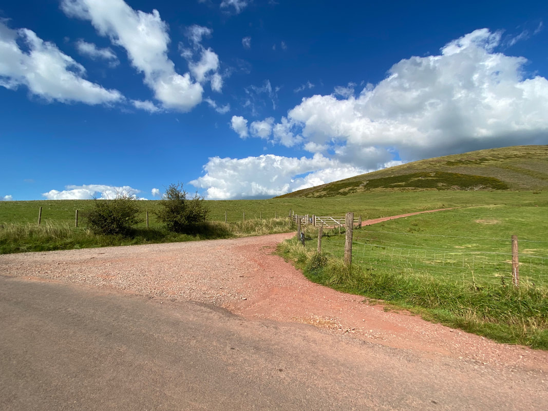
After 330 yards along the road a track on the right leads to a gate in the direction of Cogra Moss
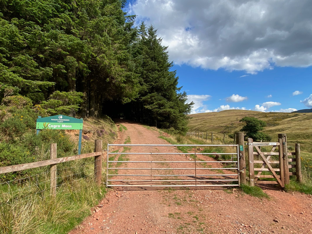
The gate leading into Cogra Moss. There are two route options here - passing through the gate the forest track can be taken or as we did today, there is a path that heads along the fence line on the right. We would use the forest track on the return route.
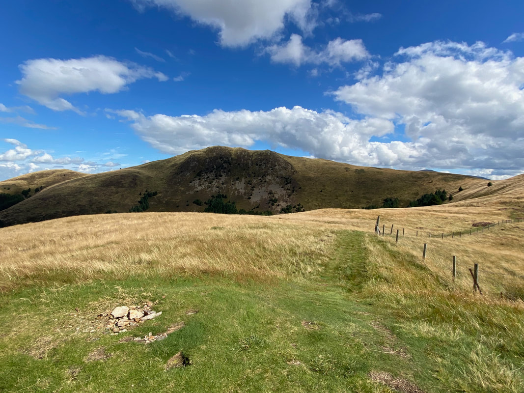
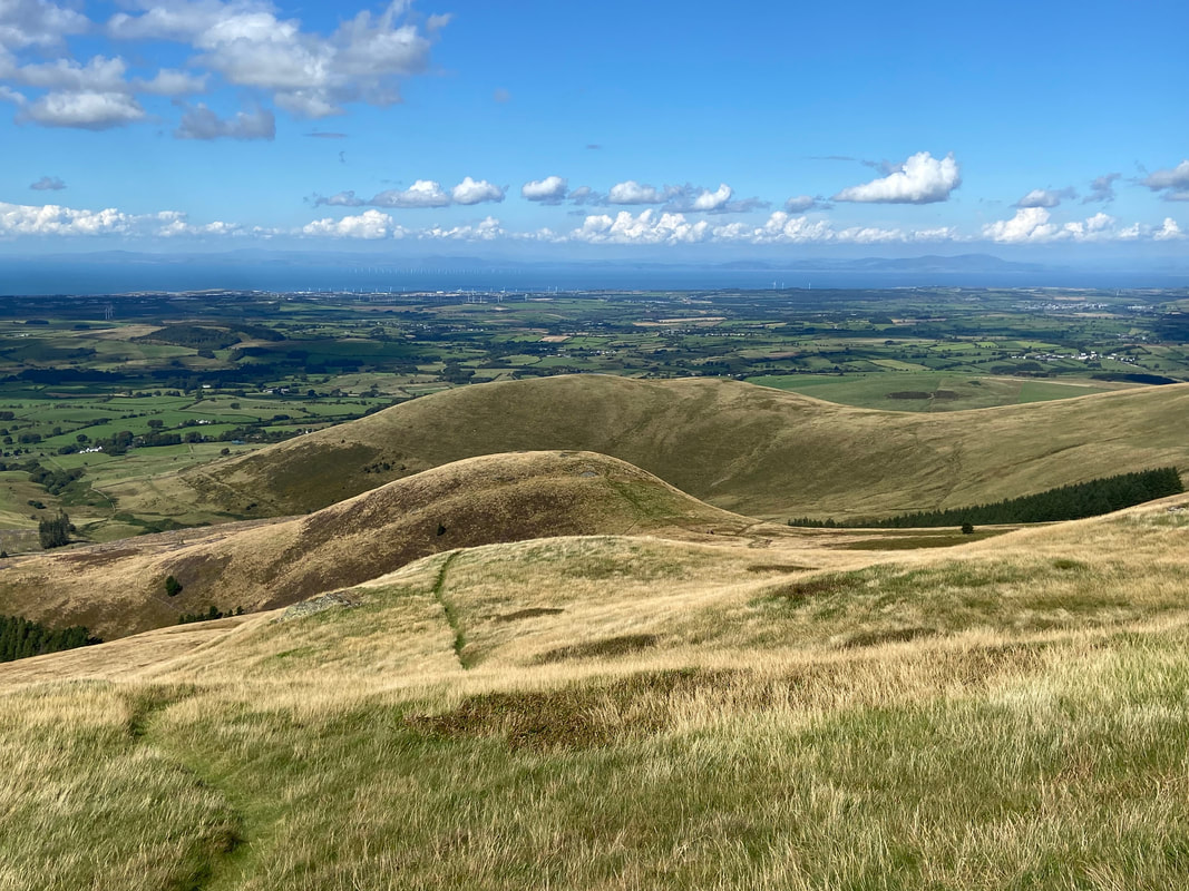
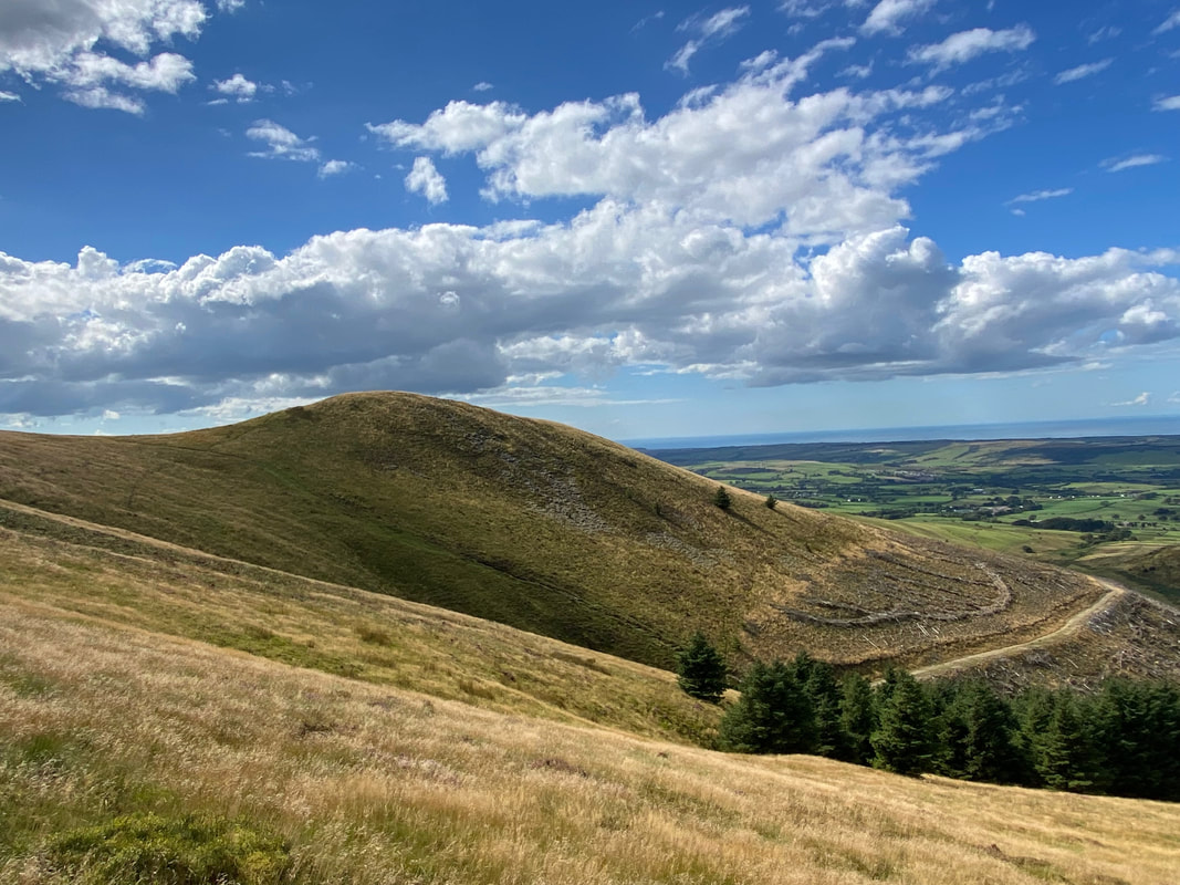
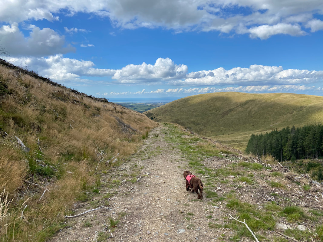
After a short climb we reached the few stones that mark the summit of Low Pen. The fell beyond is Blake Fell.
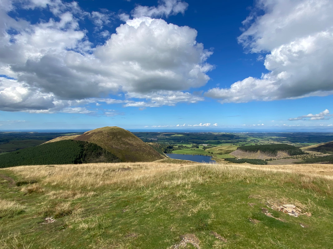
From the summit of Low Pen there is a lovely view back to Knock Murton & Cogra Moss Reservoir
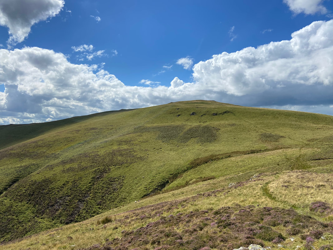
The summit of High Pen with our route to Blake Fell over to the right
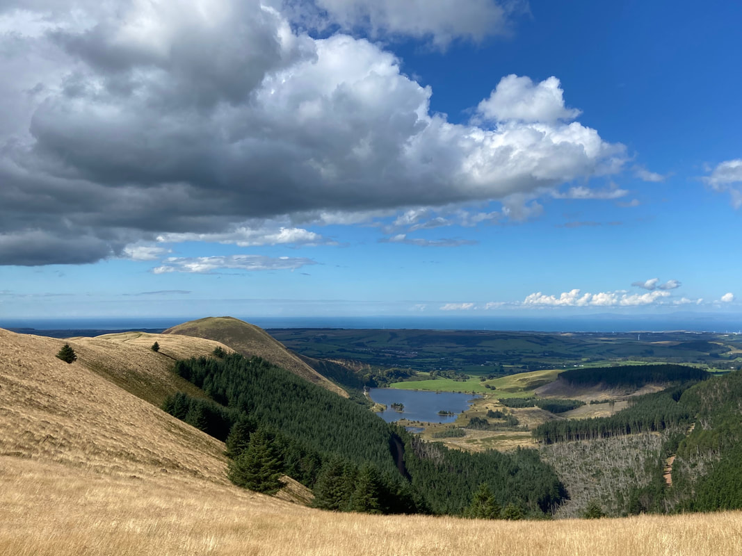
Low Pen, Knock Murton and Cogra Moss Reservoir with High Hows to the right
High Pen, Low Pen & Knock Murton from the ascent of Blake Fell
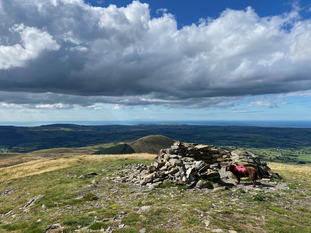
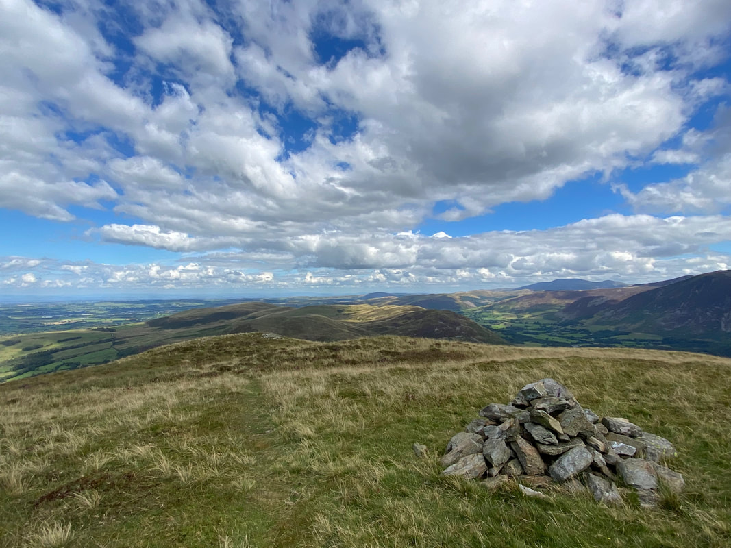
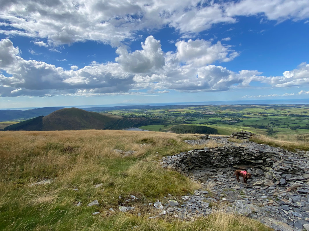
The wind shelter on the summit of Blake Fell
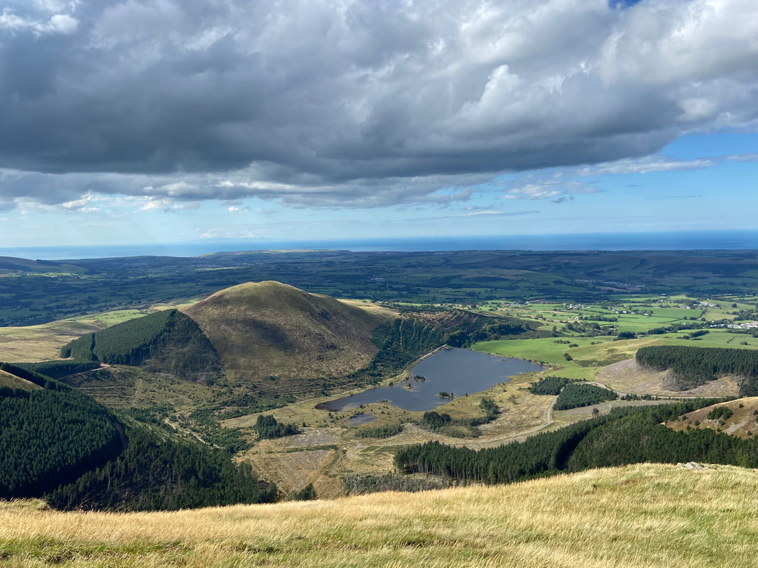
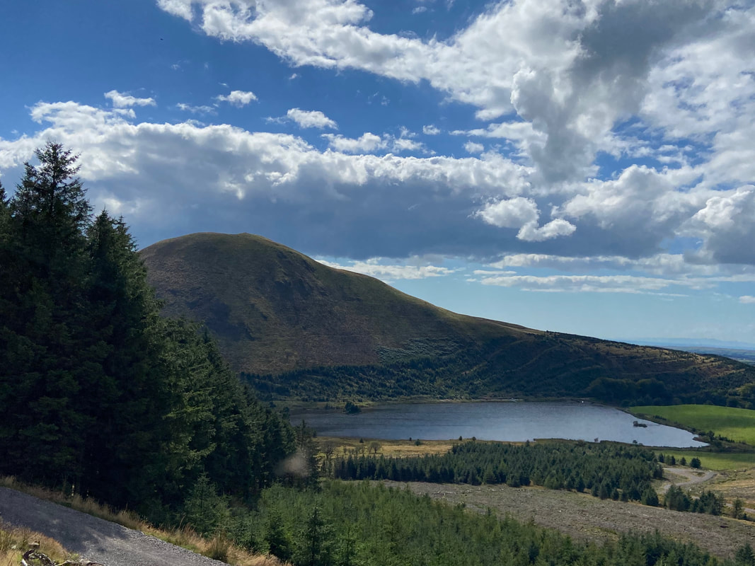
Knock Murton & Cogra Moss Reservoir from the summit of Blake Fell
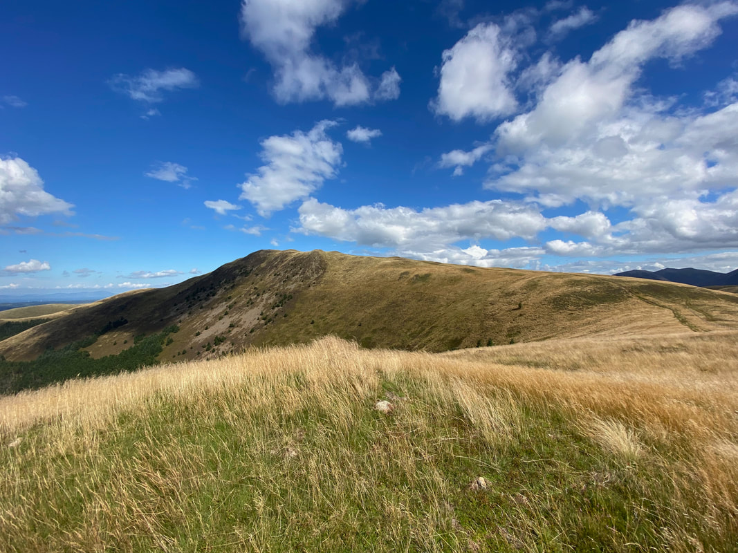
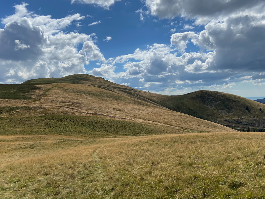
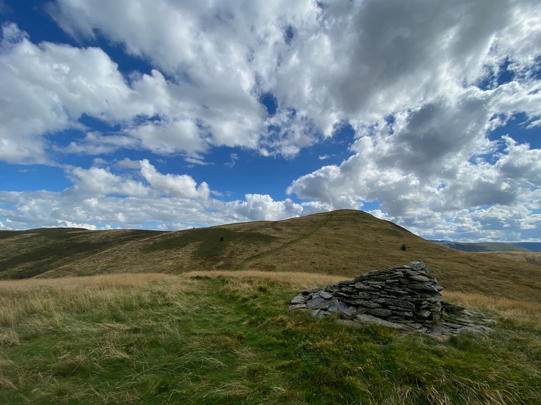
Sharp Knott in the foreground with Owsen Fell to the rear
From Blake Fell we were off to Carling Knott which can be reached by crossing the stile ahead and following a vague path
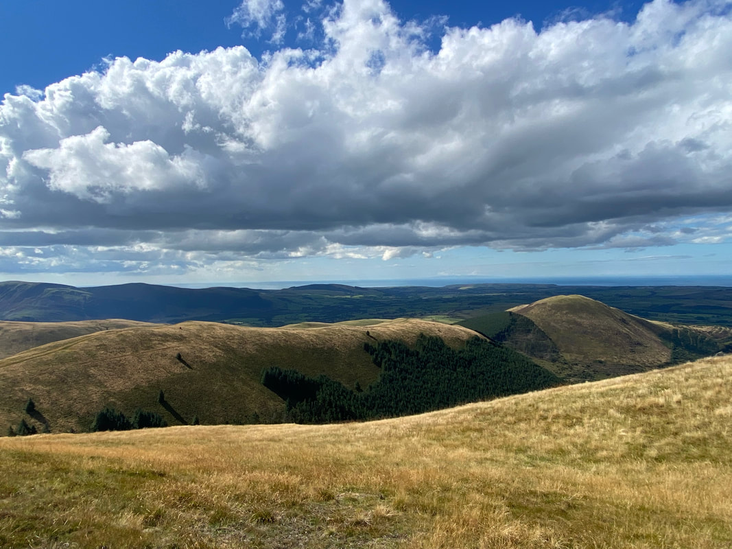
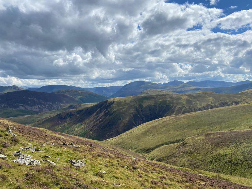
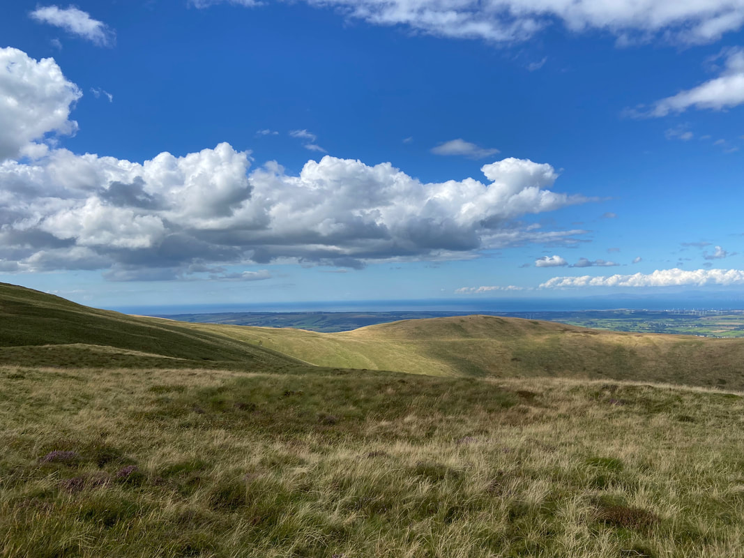
Looking to the North Western Fells with Grasmoor prominent in the centre of shot
The approach to Carling Knott. In good visibility the way ahead is never in doubt but in poor conditions it would be very easy to lose your way and miss the path.
Looking back to Blake Fell - the vague path we followed can just about be seen on the ground
High Nook on Gavel Fell with Mellbreak to the left and Hen Comb right of centre
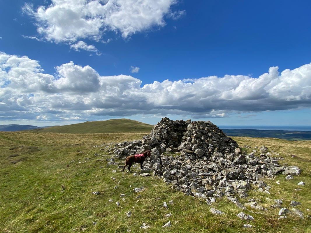
The excellent wind shelter which marks the summit of Carling Knott
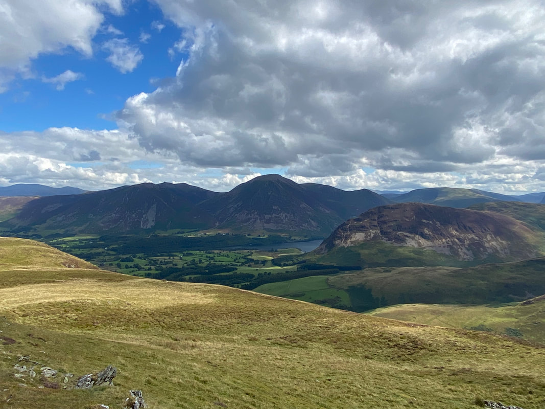
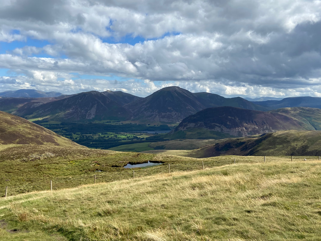
The North Western Fells & Mellbreak with Crummock Water below Grasmoor
It is worth wandering over to the cairn on Loweswater End which can be reached by walking to the east from Carling Knott's summit
From Loweswater End it was now time to traverse the slopes of Carling Knott & Blake Fell to rendezvous with the path to Burnbank Fell. This section of the walk is pathless but the going is good.
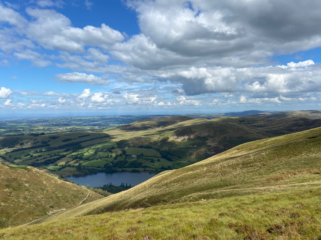
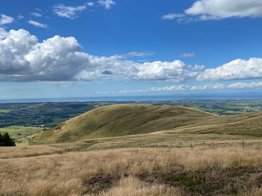
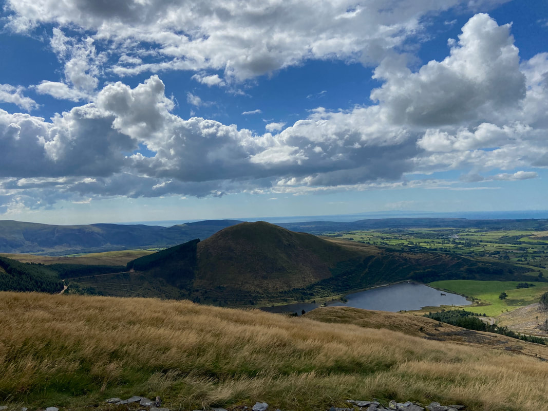
As we make our way over to Burnbank Fell, Loweswater comes into view
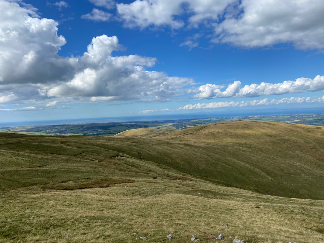
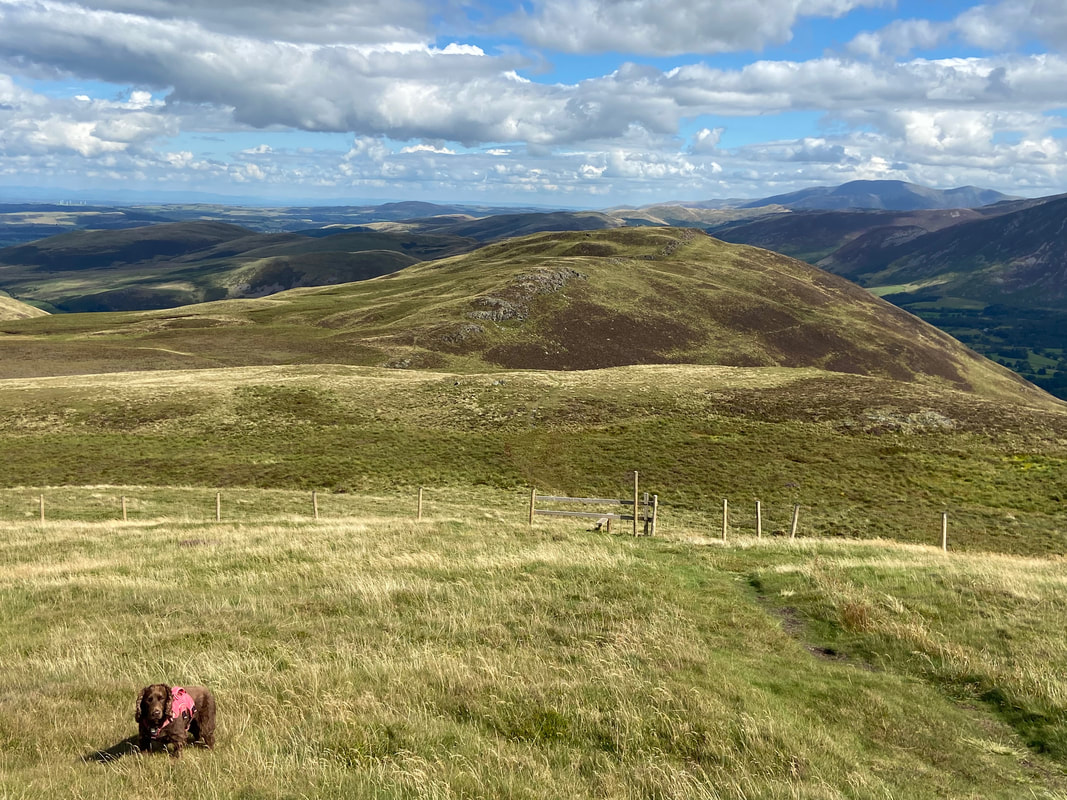
Burnbank Fell ahead to the right
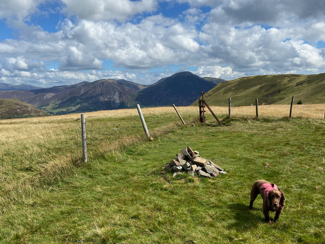
The cairn on the summit of Burnbank Fell - the actual highest point is the straining post at the fence corner
Blake Fell and Sharp Knott from Burnbank Fell. Our path to Sharp Knott can just about be seen in the centre of shot.
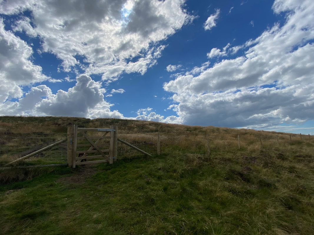
Passing through this gate our route would sweep over to the right - Fudge plays hide and seek whilst I take the picture.
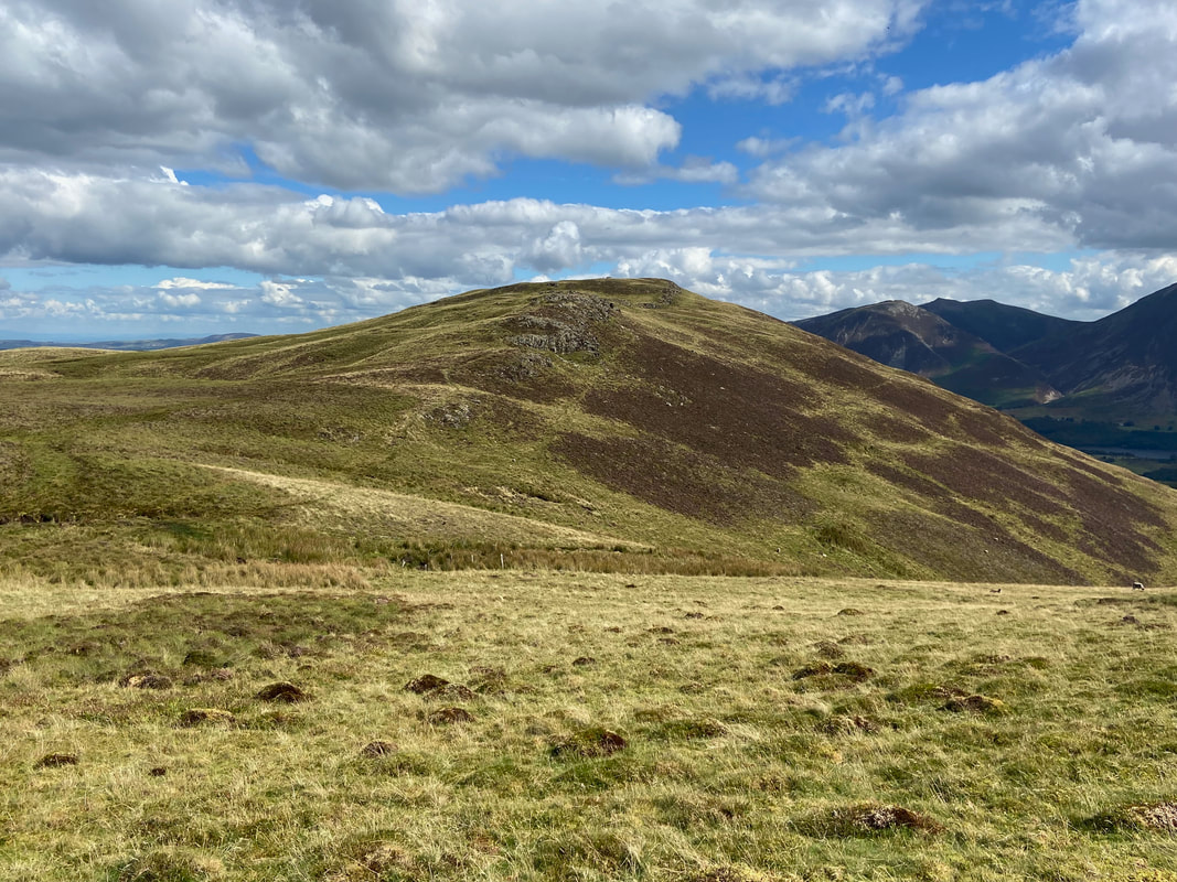
Looking back to Burnbank Fell from the approach to Sharp Knott
Sharp Knott - our path back to the start can be seen to the left which heads to reach the forest track below right.
The summit of Sharp Knott looking to Blake Fell
A few yards to the west of the summit cairn on Sharp Knott is a delightful slate shelter
Knock Murton & Cogra Moss Reservoir from the slate shelter
Down on the forest track now which we would follow all the way back to the start
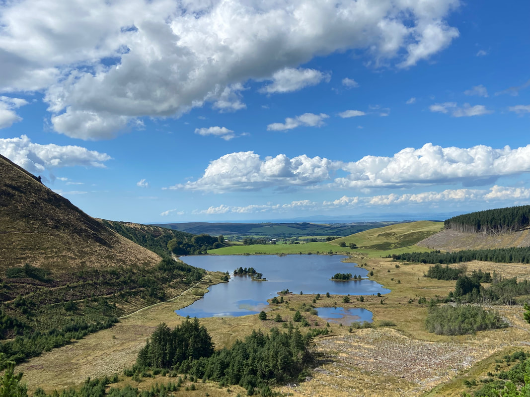
Cogra Moss Reservoir from the forest track
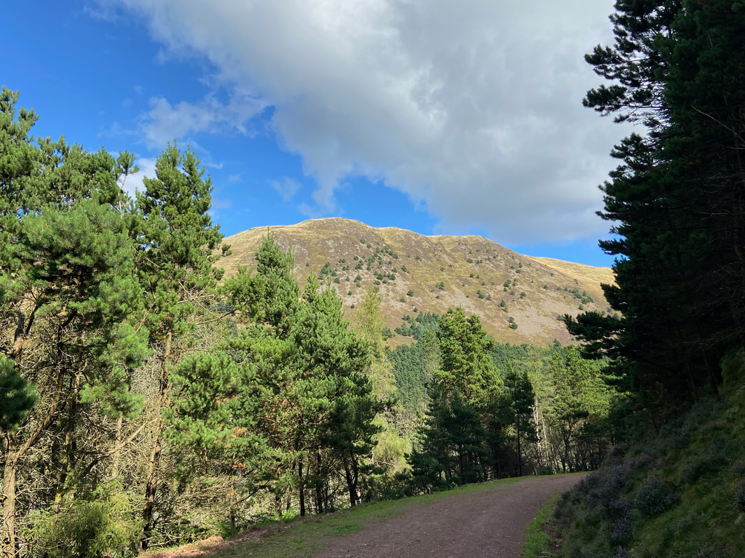
Blake Fell from the forest track
It was turning into a glorious day
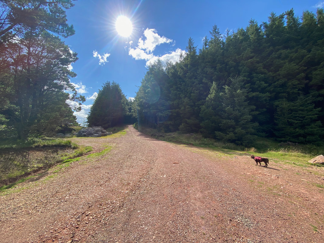
The sun hits the lens as we near the end of the walk - just a few hundred yards from here is Cross Rigg