Leyburn, Castle Bolton & Aysgarth Falls - Wednesday 15 September 2021
Route
Leyburn - Leyburn Shawl - Tullis Cote - Keld Head - Preston-under-Scar - Castle Bolton - Bolton Castle - West Bolton - Carperby - Low Lane - Aysgarth Falls - Wanlass - Lords Bridge - Wensley Bridge - Wensley - Low Lane - Low Wood Lane - Leyburn
Parking
The Market Place, Leyburn (Donation) - the postcode is DL8 5AW.
Mileage
17.6 miles
Terrain
Field paths, tracks & quiet lanes through rural villages
Weather
Mild and sunny although became overcast late afternoon.
Time Taken
9hrs 20mins
Total Ascent
1663ft (507m)
Map
OL30 Yorkshire Dales Northern & Central Areas (Wensleydale & Swaledale)
Walkers
Dave, Angie & Fudge
|
GPX File
|
| ||
If the above GPX file fails to download or presents itself as an XML file once downloaded then please feel free to contact me and I will send you the GPX file via e-mail.
Route Map
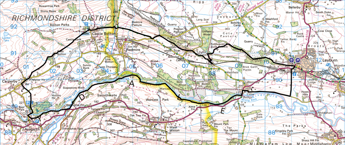
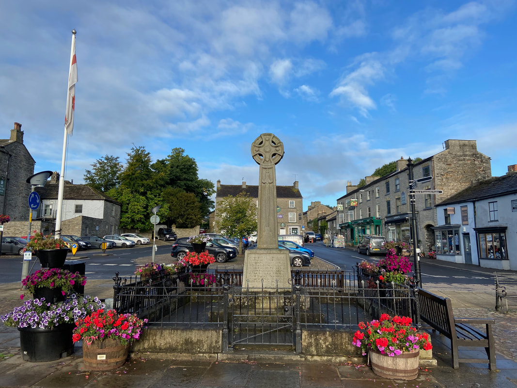
Leyburn War Memorial and the start point for this lovely walk. There is plenty of parking both in front of the pic and behind plus there are other facilities in and around this area. The walk heads up to Leyburn Shawl which is reached via the pavement to the right.
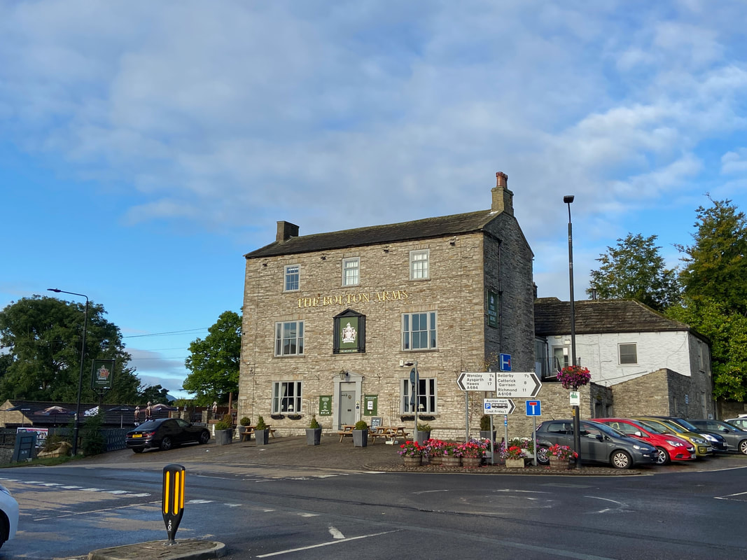
Didn't visit but it looked very nice both inside and out
The pavement leads to a signpost on to Leyburn Shawl
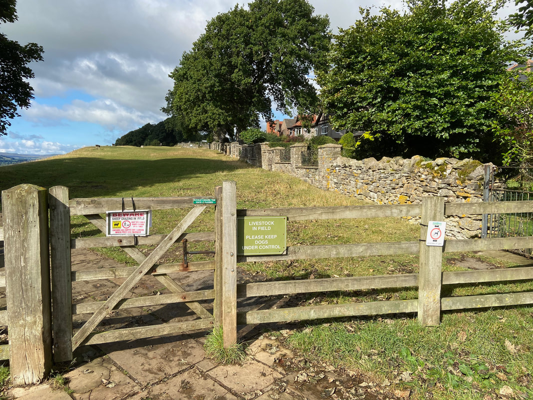
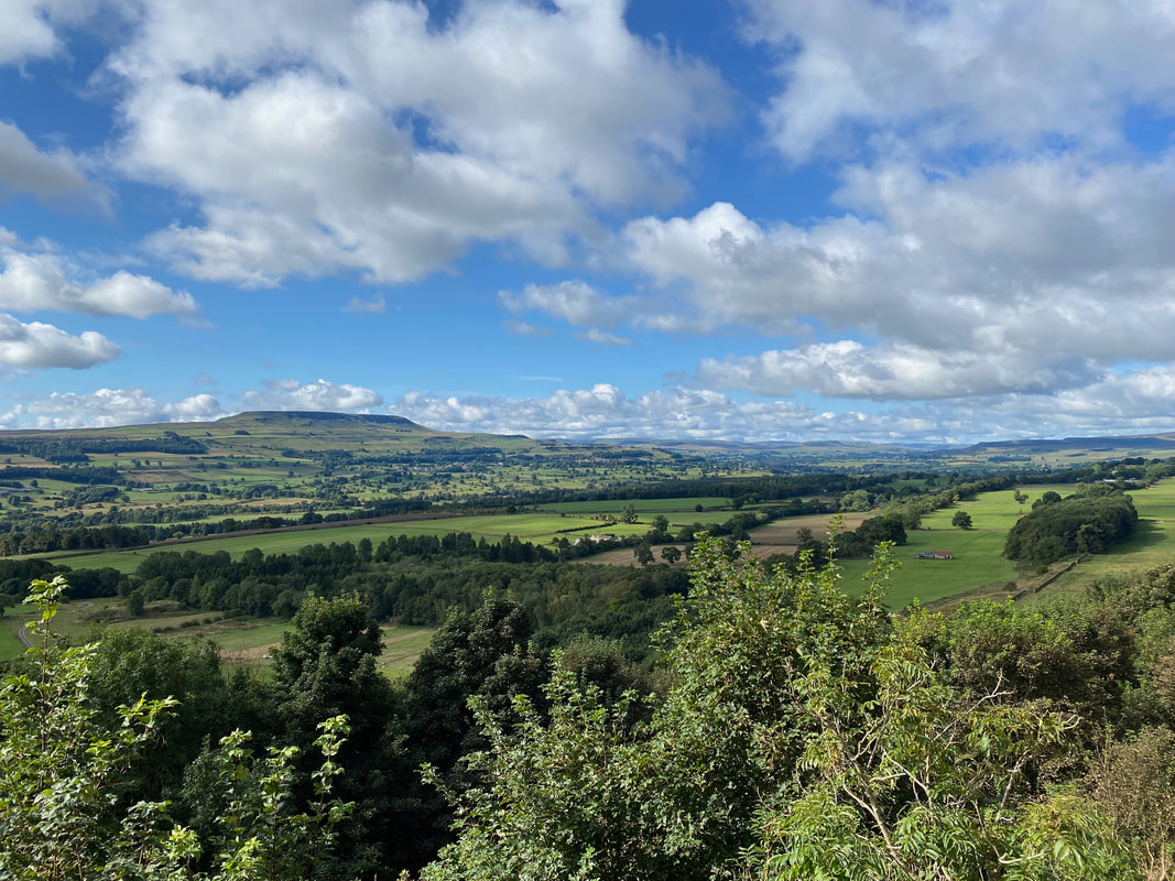
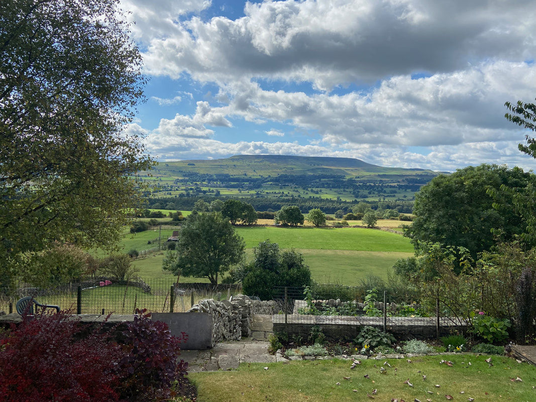
Leyburn Shawl - or simply 'The Shawl', is the name of a limestone scar of modest height that stretches almost two miles west of Leyburn. The scar gives breathtaking views to Penhill, Wensleydale and the distinct flat top of Addlebrough. Legend has it that that Mary Queen of Scots escaped from Bolton Castle where she had been imprisoned. She dropped her shawl on the way hence the name.
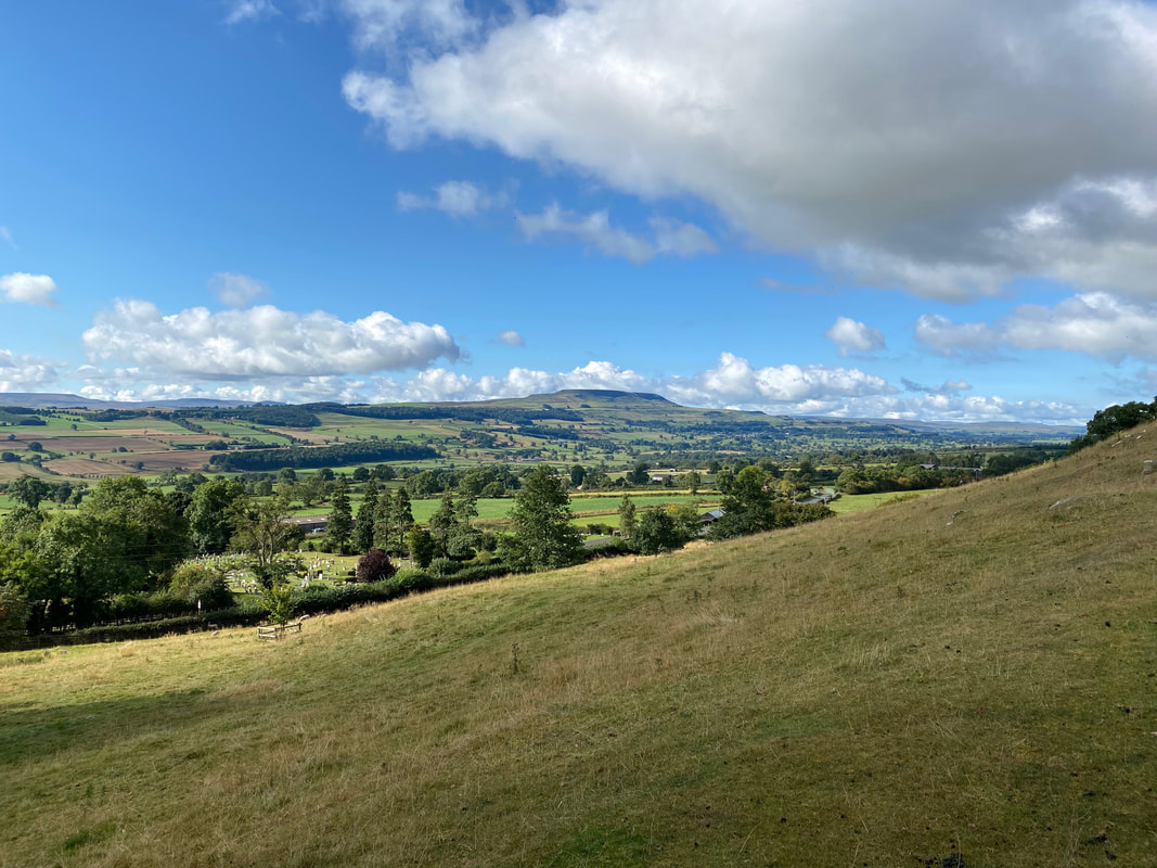
Looking to Penhill from Leyburn Shawl
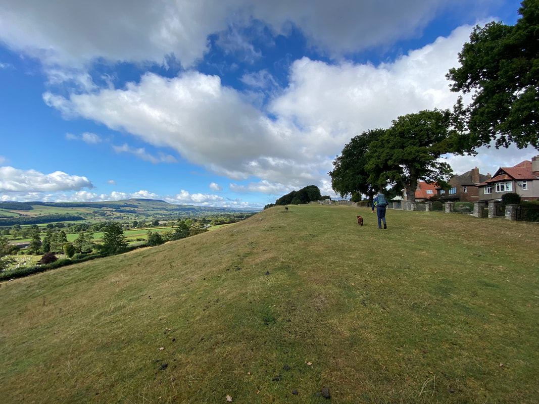
Heading across the first section of The Shawl
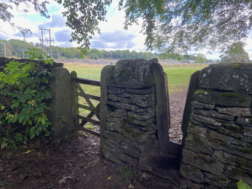
At the far end of the first grassy section a hand gate & a wooden 'V" stile are reached. It is quite rare to happen upon this type of stile.
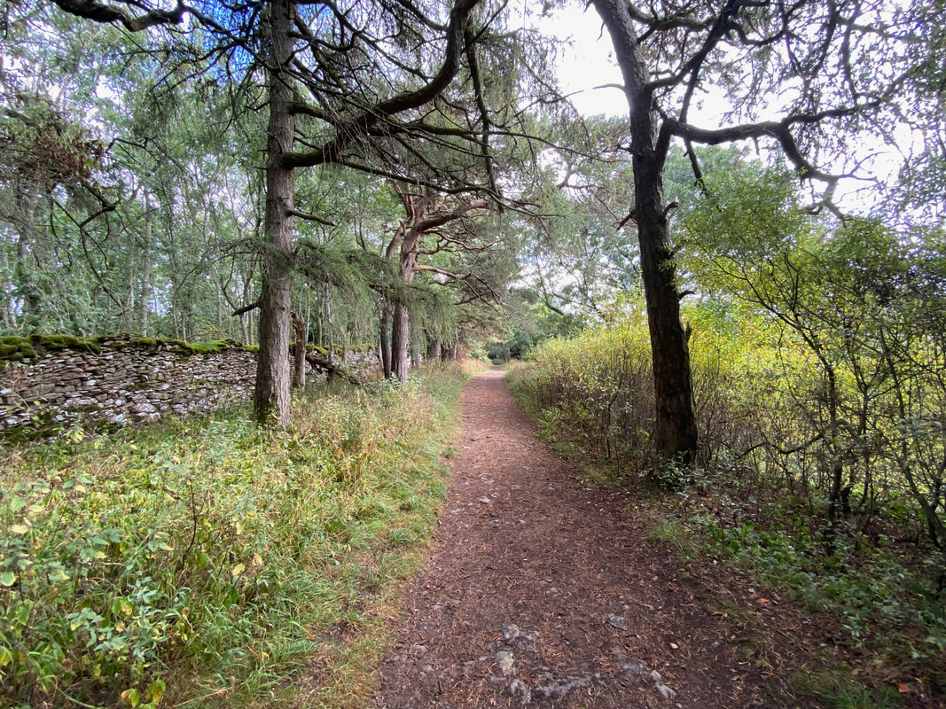
The route continues on through Leyburn Shawl Plantation
The view over to Wensleydale and Penhill continues to dominate
At the end of the plantation a kissing gate leads to a path downhill over several fields towards Preston-under-Scar

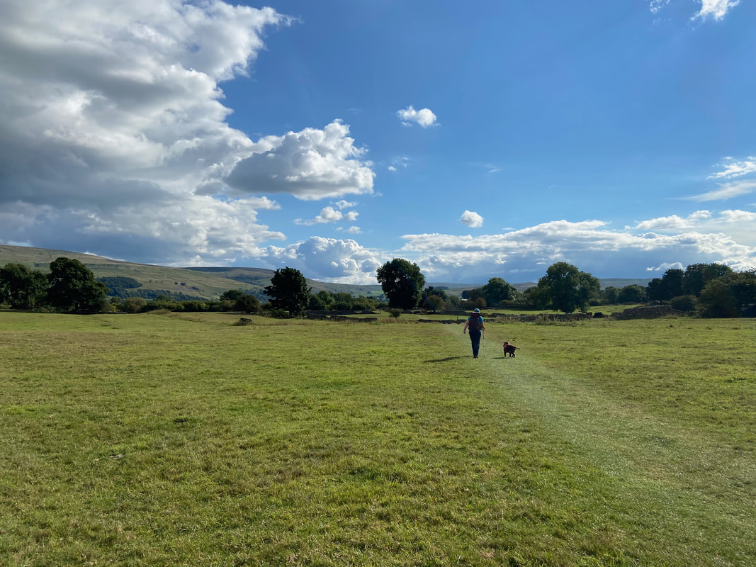
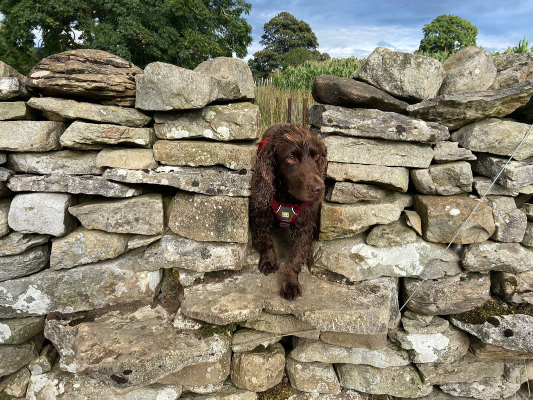
On lead time for Fudge as we pass through a field containing sheep. People often ask how Fudge is with sheep and to be honest he shows not the slightest interest and is probably more scared of them than the sheep are of him. However, whilst we know he stays away from them unfortunately local farmers do not know this and therefore it is not worth the risk - on the lead he goes.
Heading for Preston-under-Scar
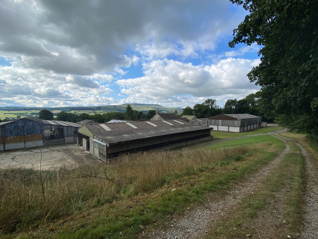
The farm buildings at Tullis Cote
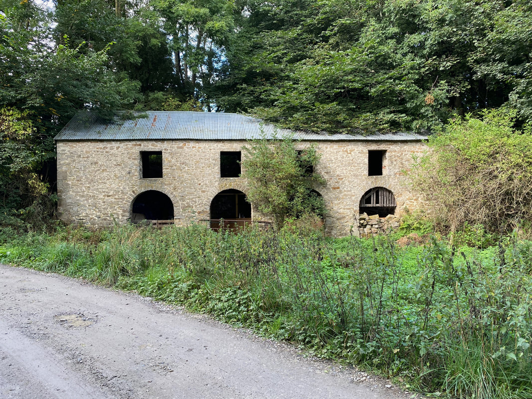
The fine four-arched building across the track from Tullis Cote Farm. The building is more than likely an old peat store for the nearby Keld Heads Smelt Mill.
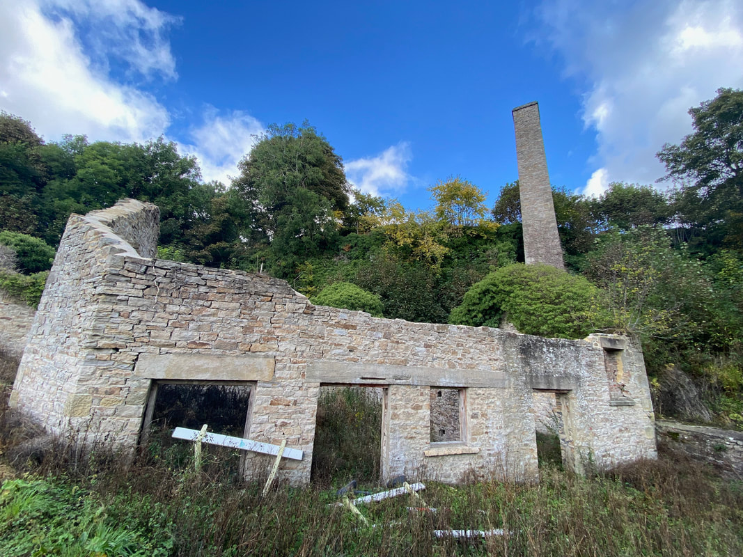
Vegetation is slowly but surely claiming back the land on which once stood the buildings of Keld Heads Smelt Mill. The smelt mill was built in 1840 and ceased working in the late 19th century. The buildings above are what remains of the engine house and chimney.
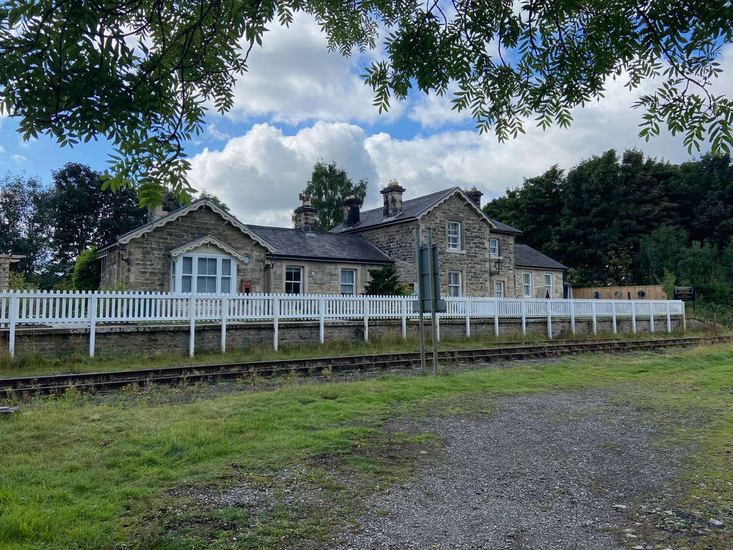
The former Wensley Railway Station near Preston-under-Scar. The station was opened in 1877 by the North Eastern Railway on their line from Northallerton to Garsdale and closed in 1954. The station is now a holiday cottage.
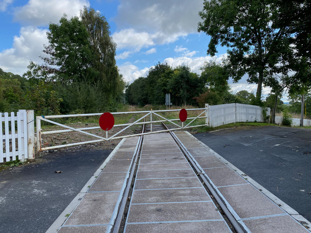
The level crossing near Wensley Station. The line now forms part of The Wensleydale Railway which is an authentic Heritage Railway running from Scruton in the Vale of Mowbray to nearby Redmire in the Yorkshire Dales.
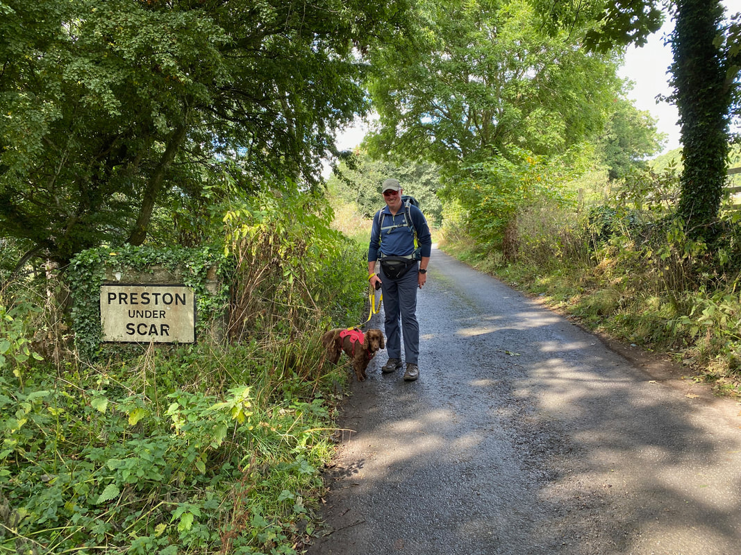
Passing into Preston-under-Scar
Fudge watches his Mum carefully as we enter the village of Preston-under-Scar
As we were passing through the far side of the village we got chatting to a local who invited us into his garden. He was very proud of the fact that he had a fantastic view out the back to Penhill - and who can blame him.
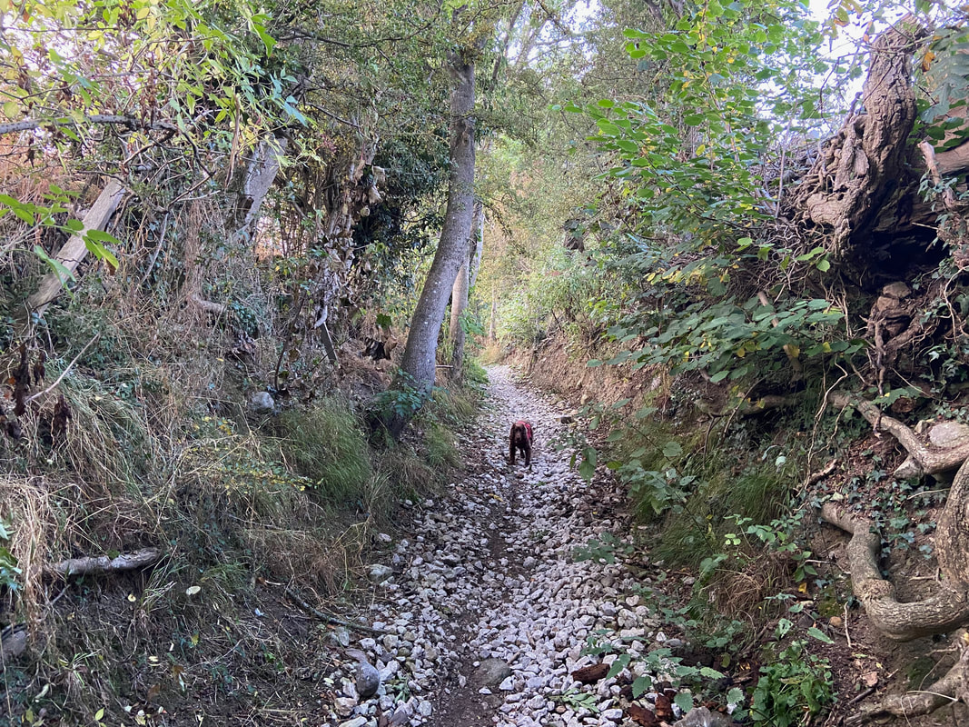
At the far end of the village the route passes once more into woodland
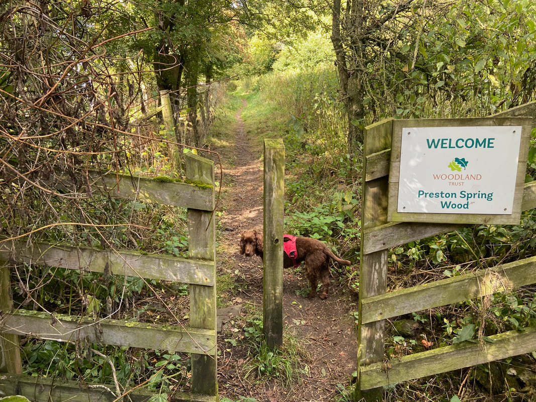
Fudge with his "are you sure it's this way" look as we enter Preston Spring Wood
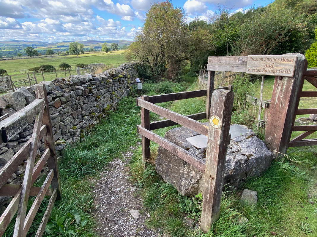
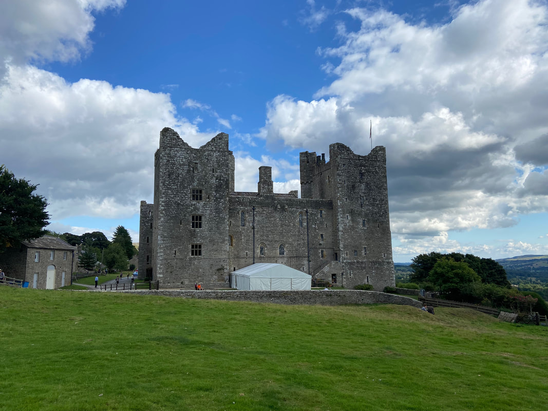
Bolton Castle now in view as we pass along an access track
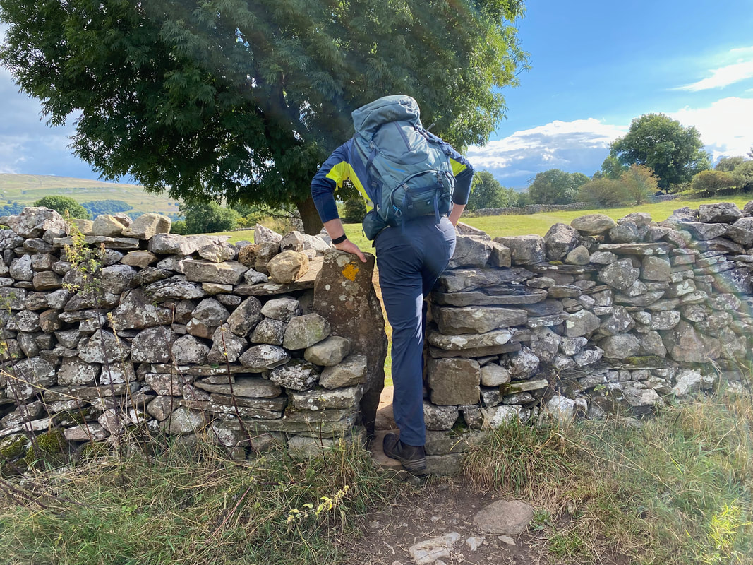
At the end of the access track the route joins the lane leading to the village of Redmire and then turns right to head to Castle Bolton
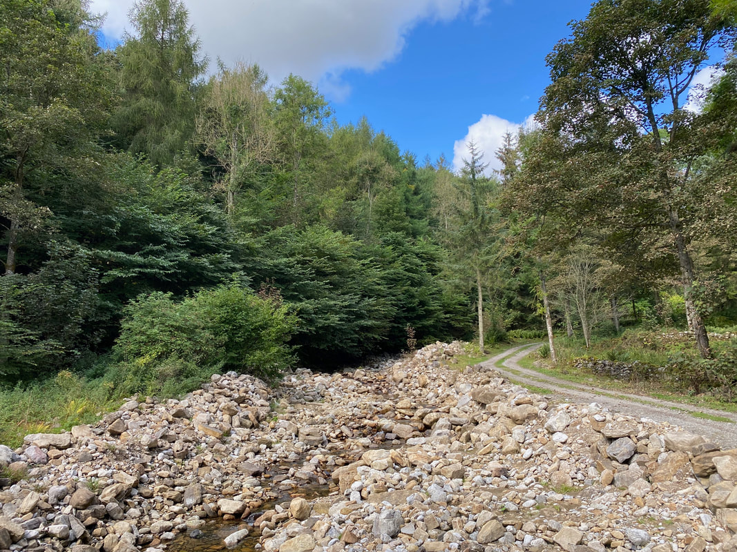
The extremely dry Apedale Beck
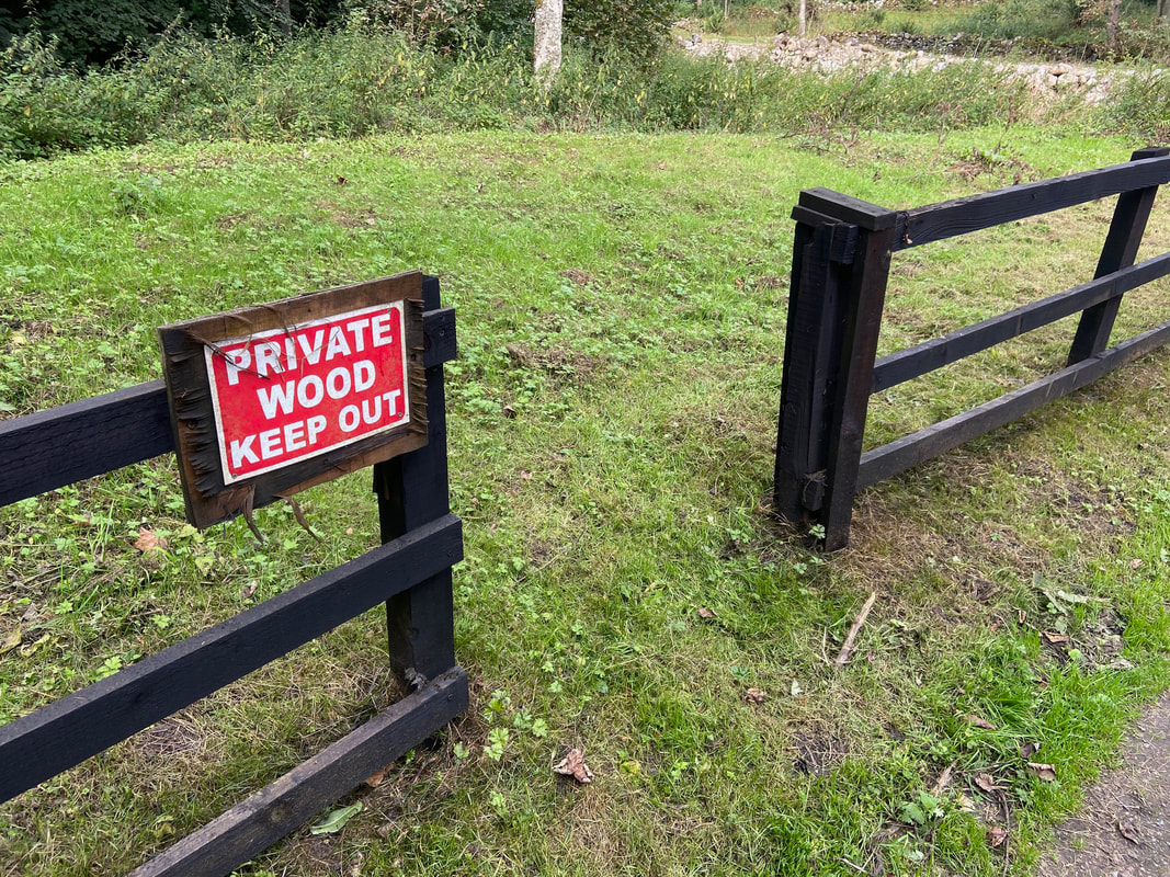
Although Corporal Smith was allowed in
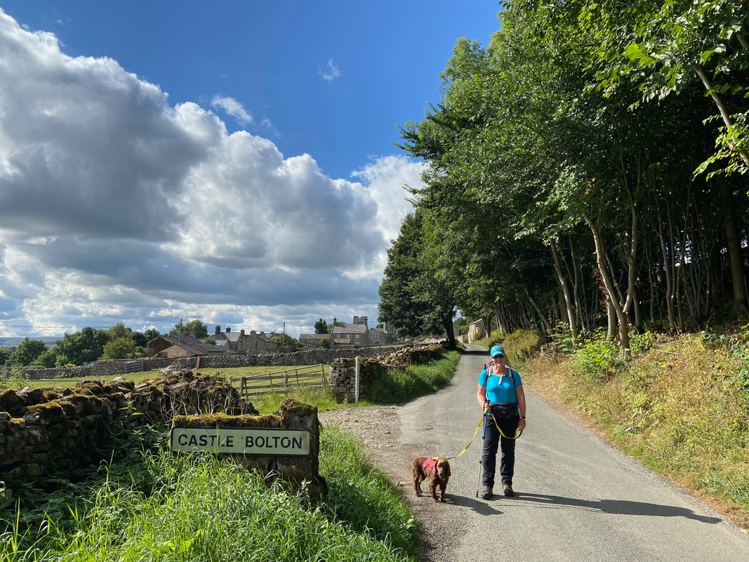
Arriving in the village of Castle Bolton
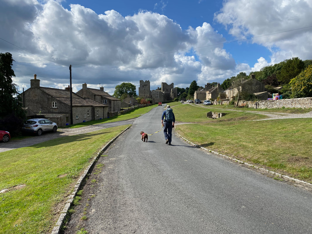
All was quiet in the village as we sauntered through - it was a bit busier up near the castle but not overly so
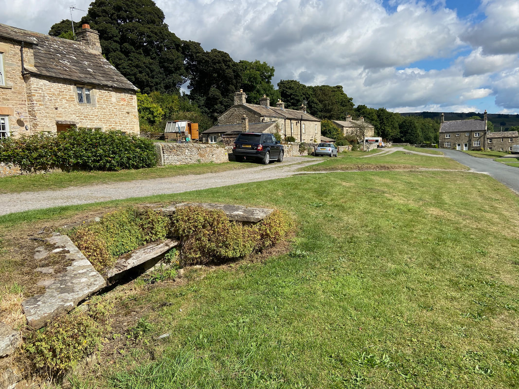
Just before the castle the route passes an extremely old stone bench
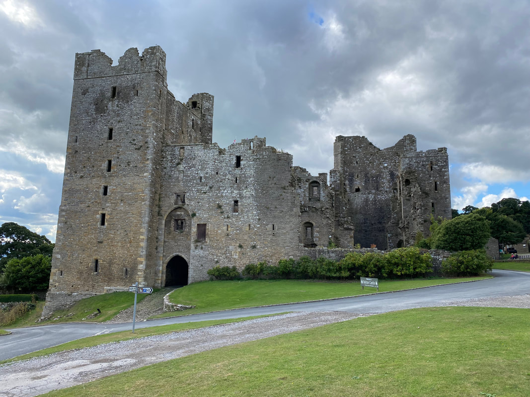
Bolton Castle. The castle was built by Sir Richard le Scrope, Lord Chancellor of England to Richard II. The licence to crennelate was granted and building commenced in 1379 and was completed in 1399.
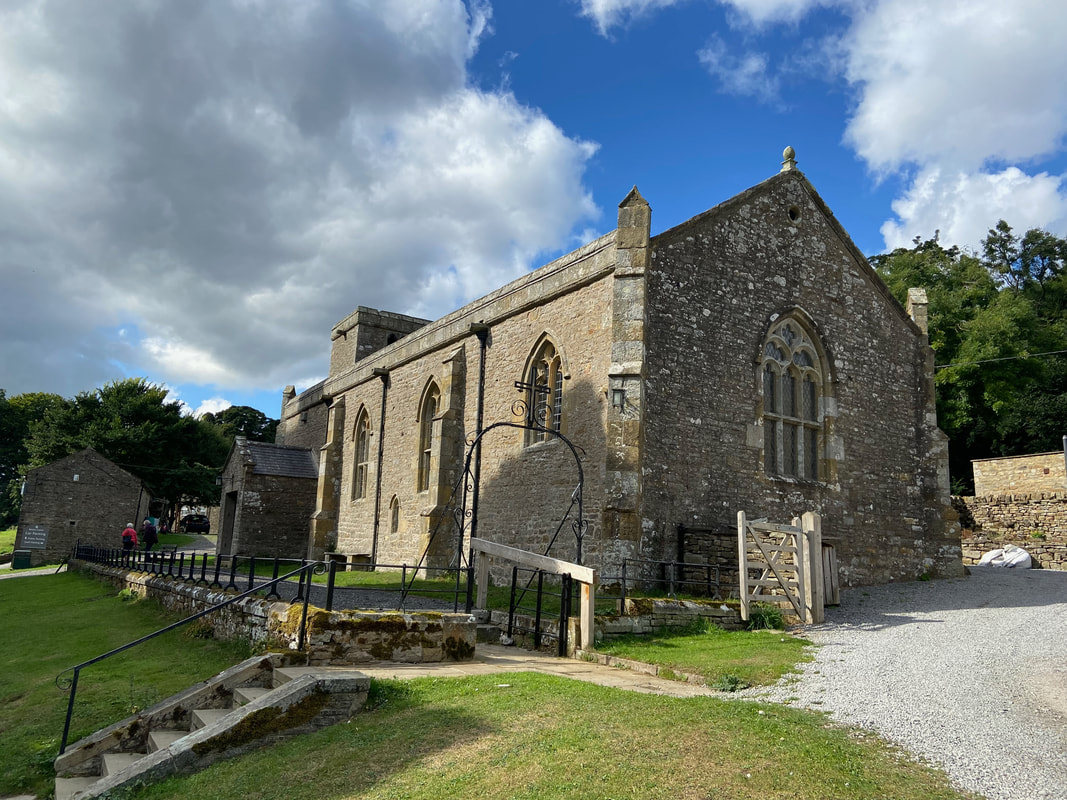
St Oswald's Church, Castle Bolton which dates from the 14th century
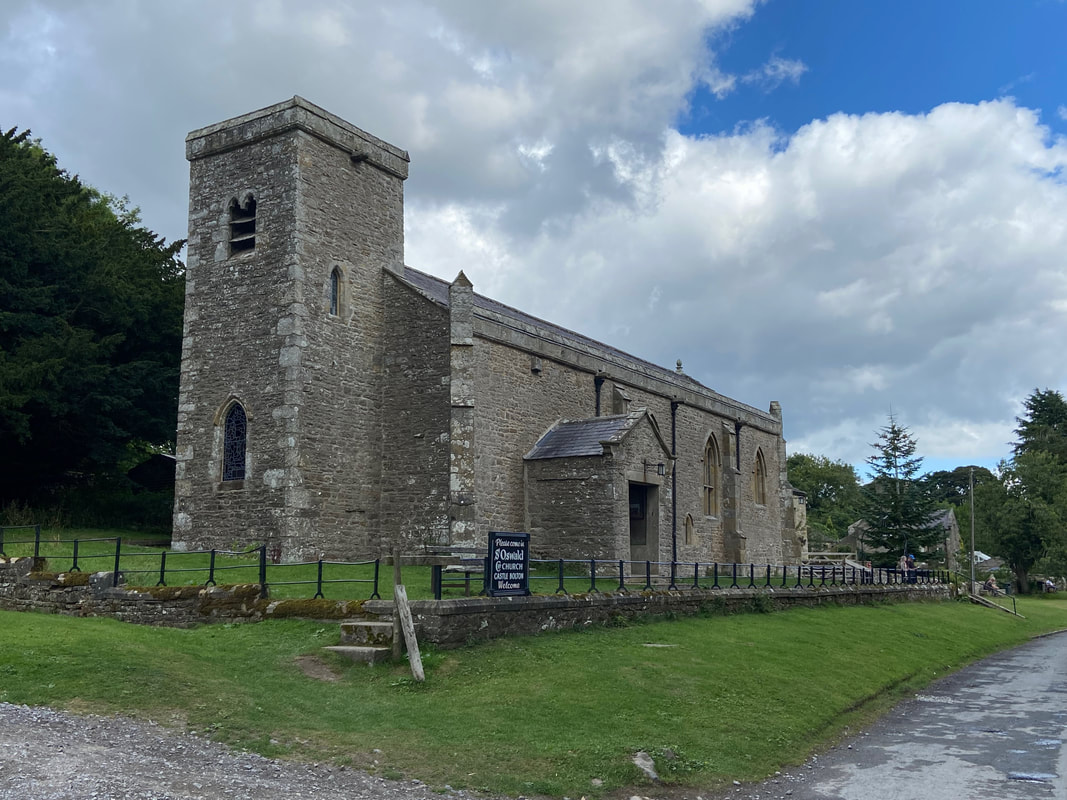
Another view of St Oswald's Church
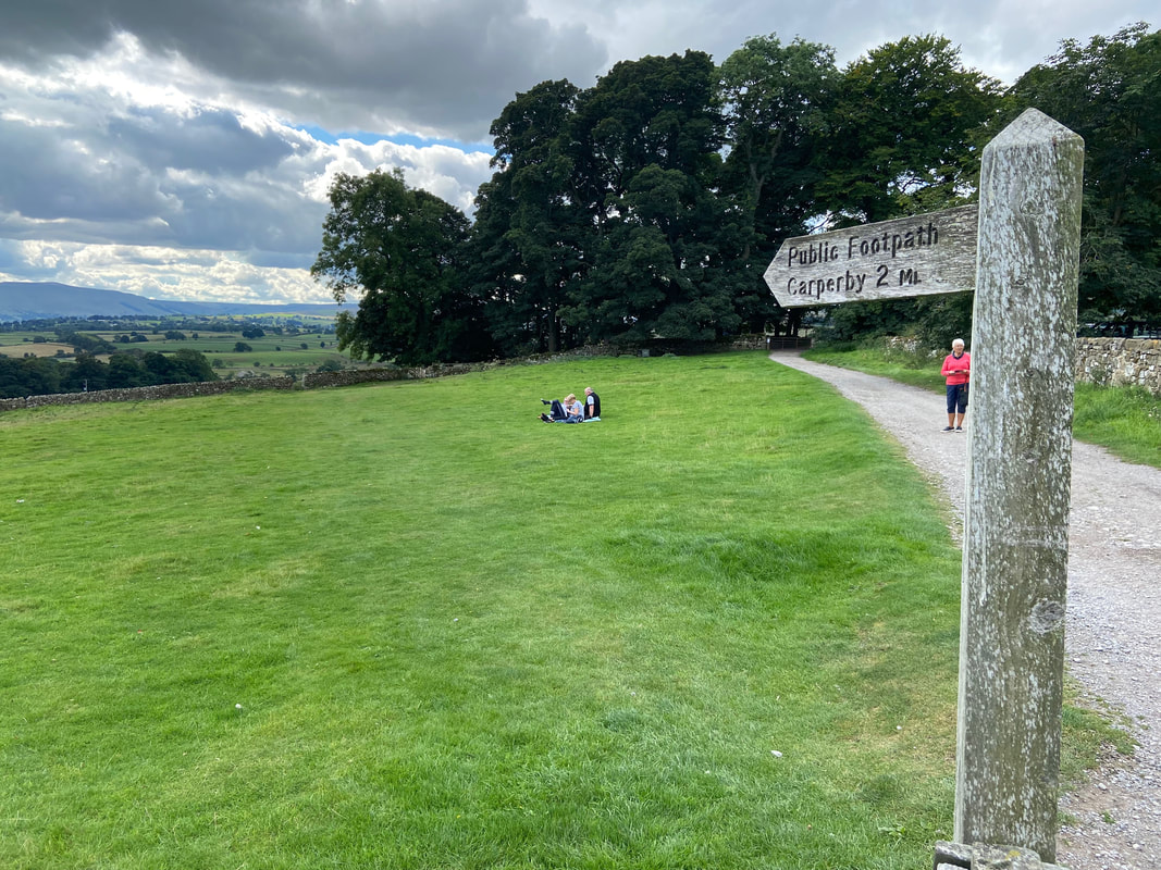
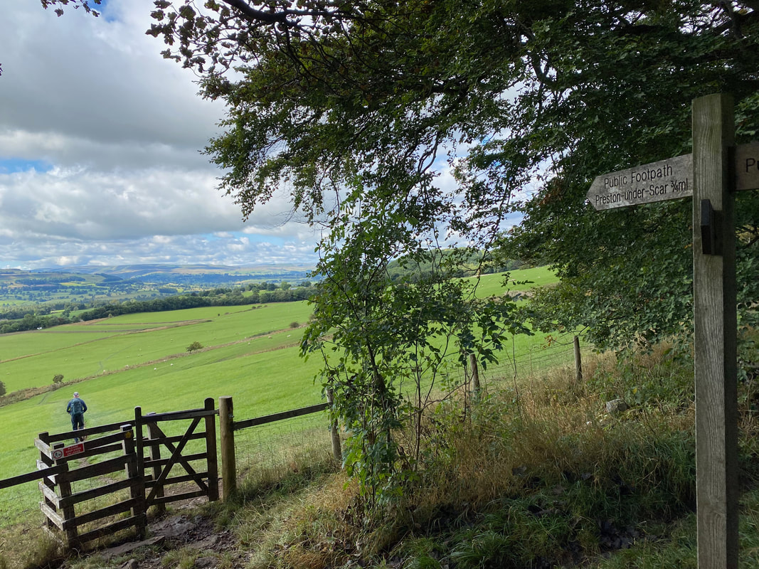
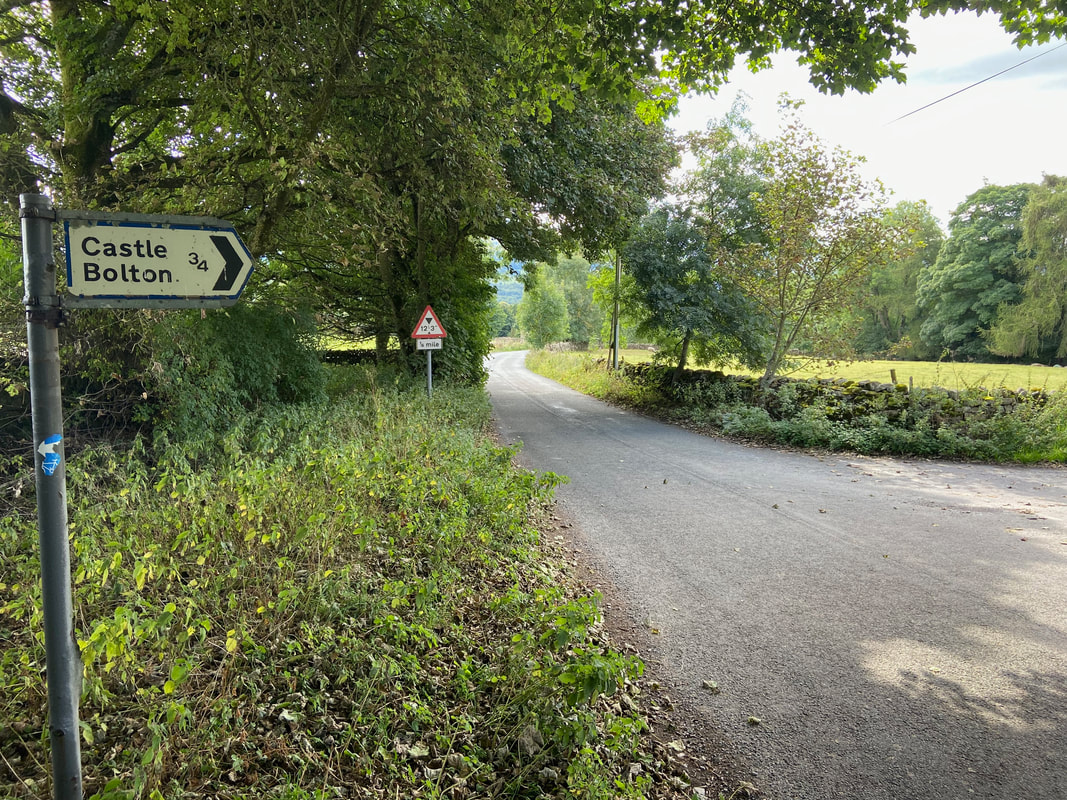
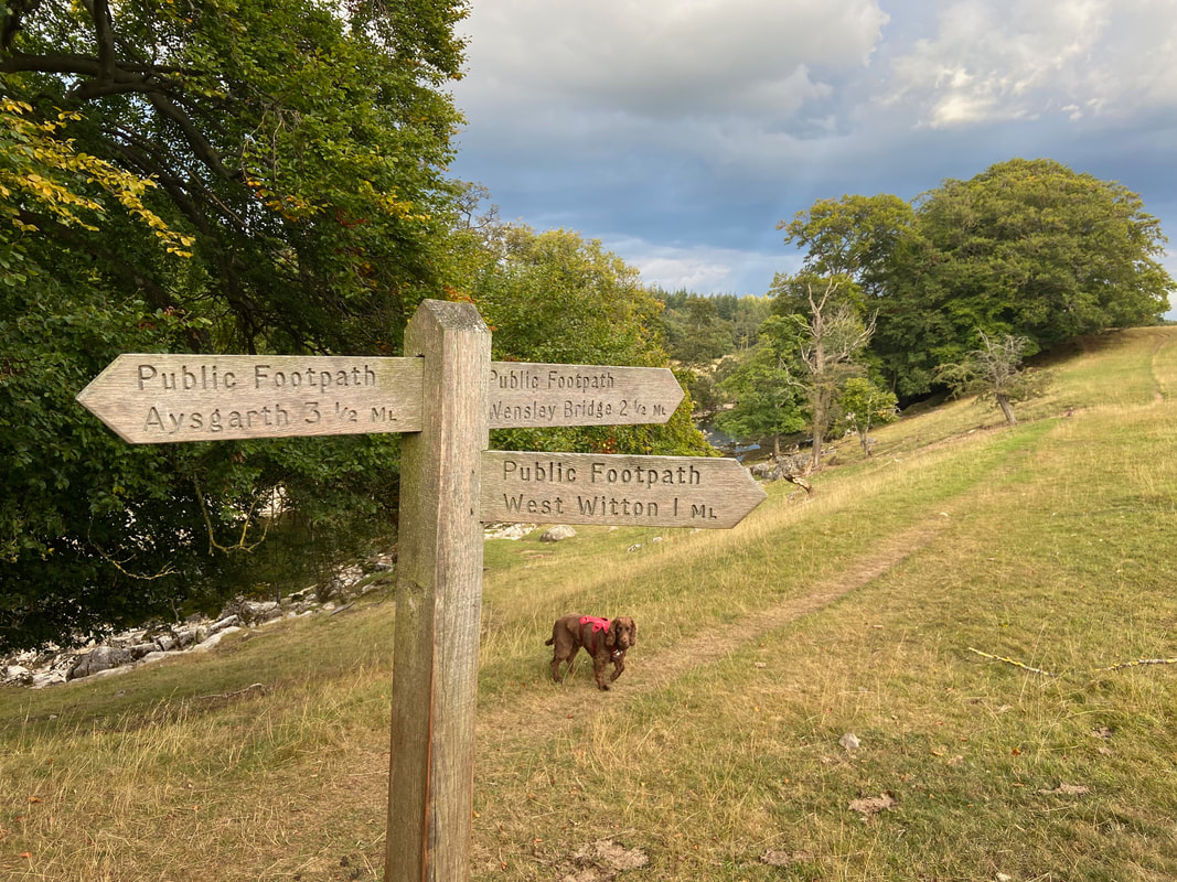
At the far end of the village just past the castle a waymark points south west to Carperby where from previous experience we knew there was a pub.
Must be a wedding on soon I think
Ominous looking clouds up ahead as we head down to West Bolton
The farm at West Bolton
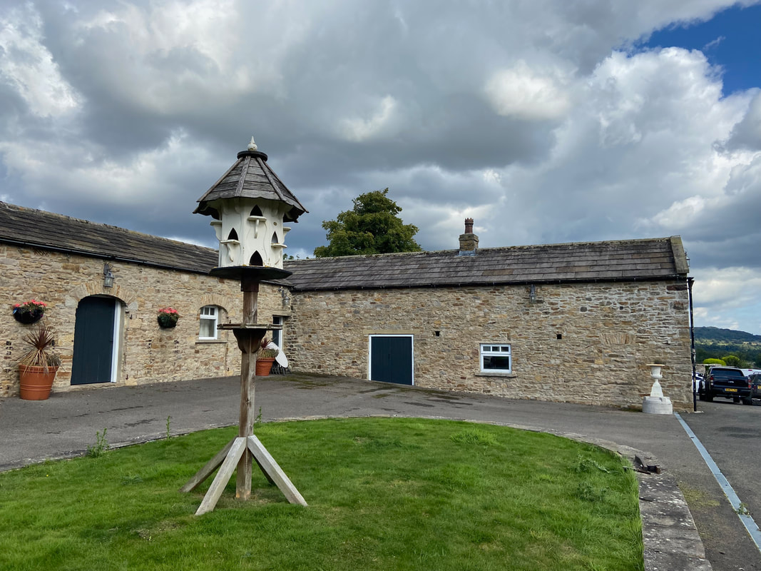
The Dovecot at West Bolton Farm
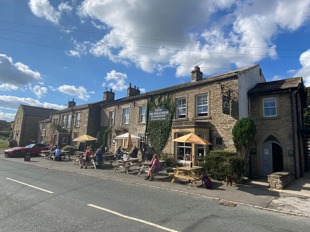
The Wheatsheaf at Carperby - not been here for a while and it was nice to visit again
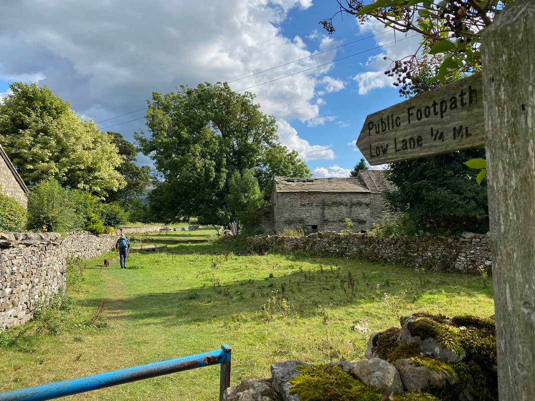
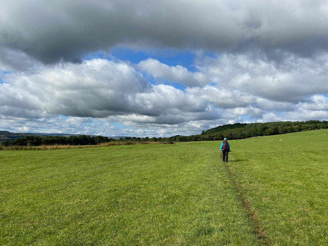
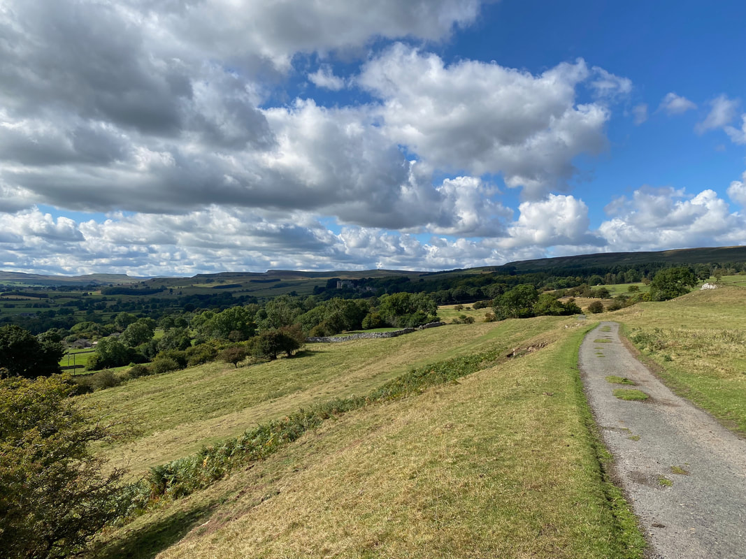
From Carperby we were now off to Aysgarth via Low Lane
The path to Aysgarth was over lush green fields - very pleasant walking
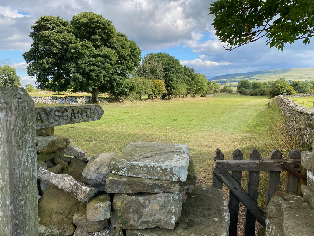
Nearing Aysgarth
Good job I'm slim eh!
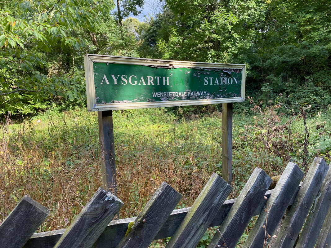
The disused Aysgarth Station. It was part of the Hawes Branch of the NE Railway from its opening in 1877 until closure in April 1954.
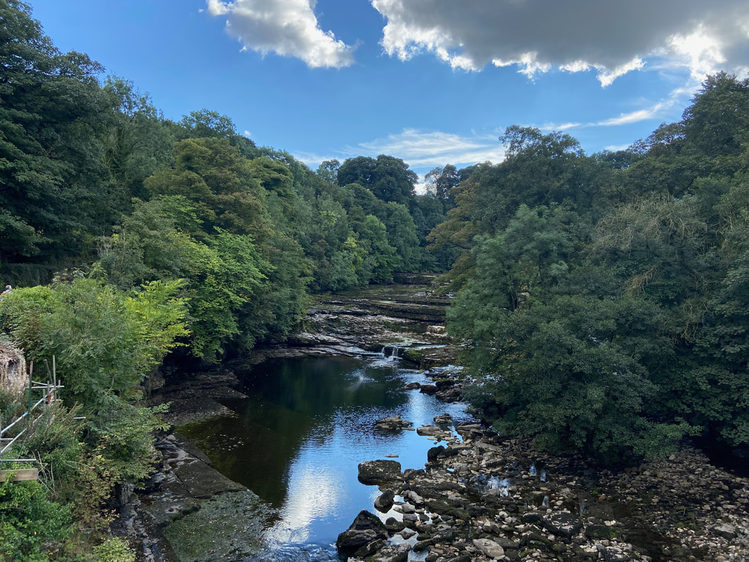
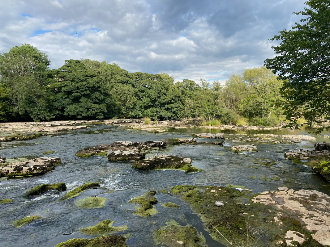
Aysgarth is famous for its waterfalls and these are the upper falls as seen from the bridge over the River Ure
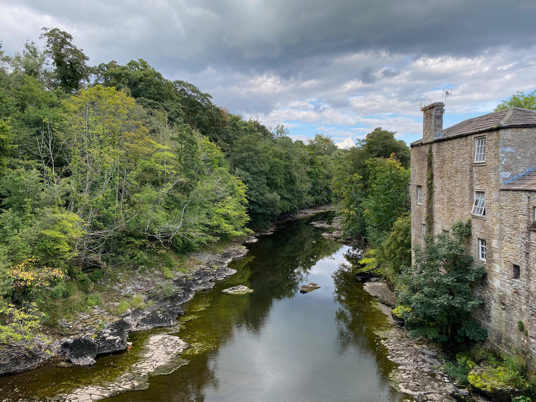
The view of the River Ure looking east from the bridge
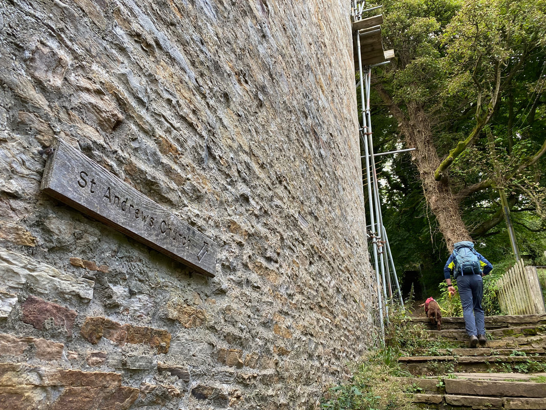
On the south side of the bridge a set of steps leads to St Andrews Church
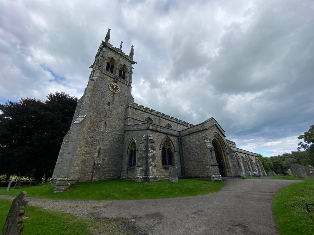
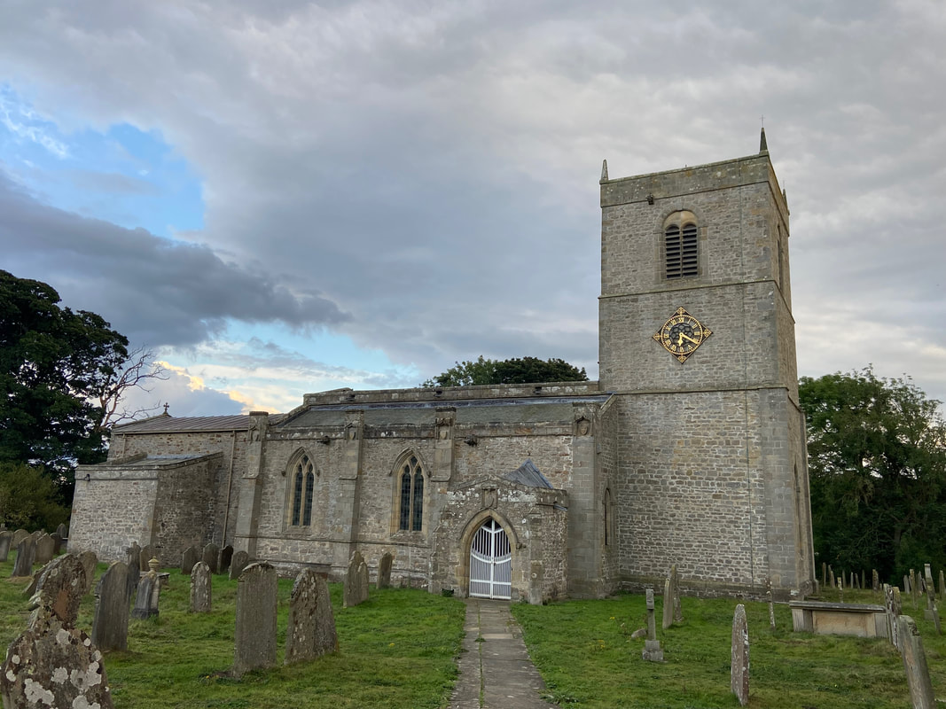
St Andrews Church - it always amazes me how many church clocks show the incorrect time (it was after 1600)
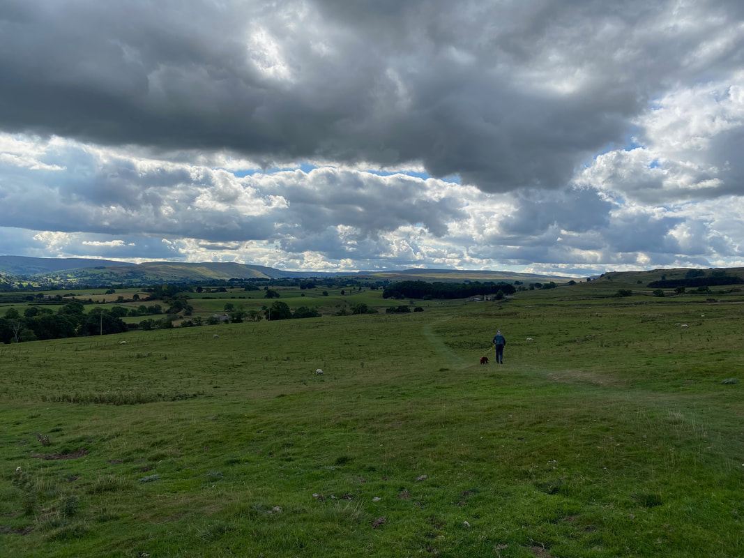
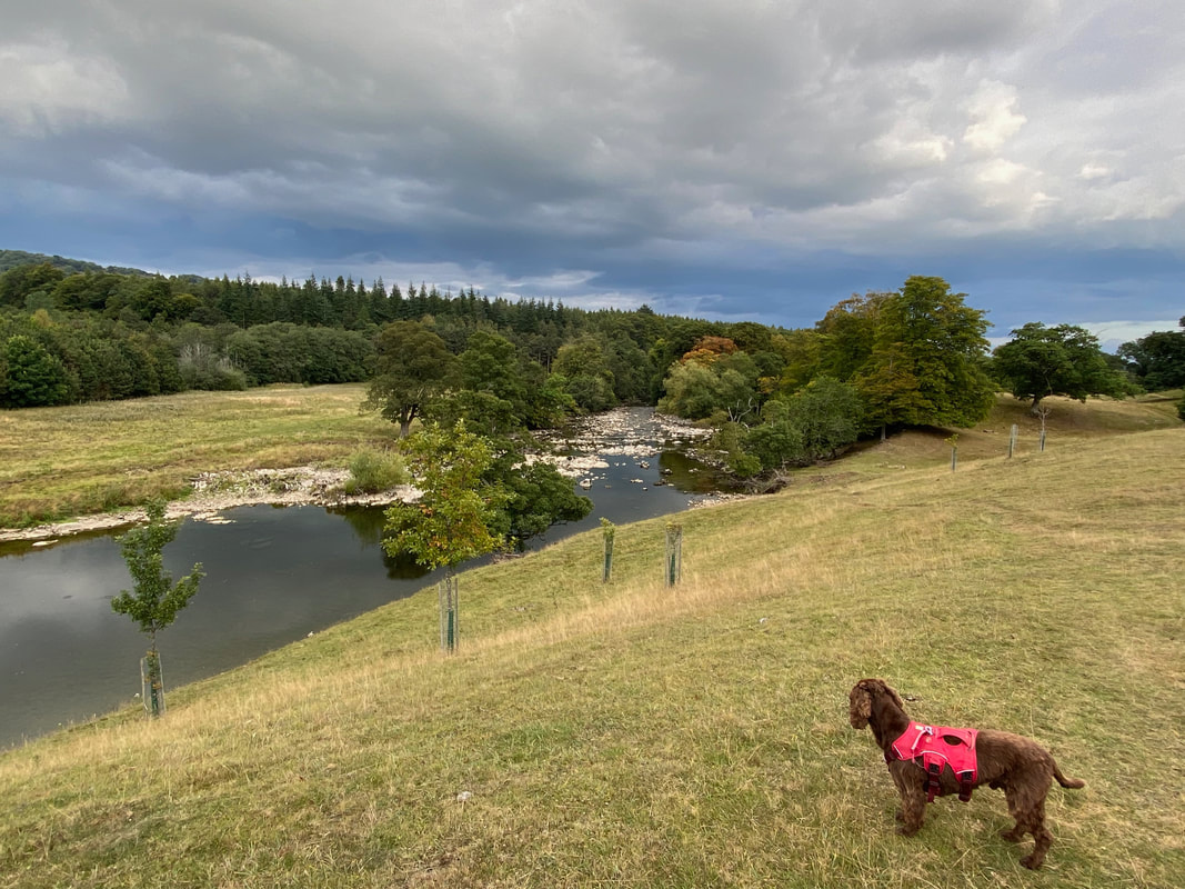
From the church the route heads back towards Leyburn high above the River Ure
The section of the River Ure to the east of the lower falls
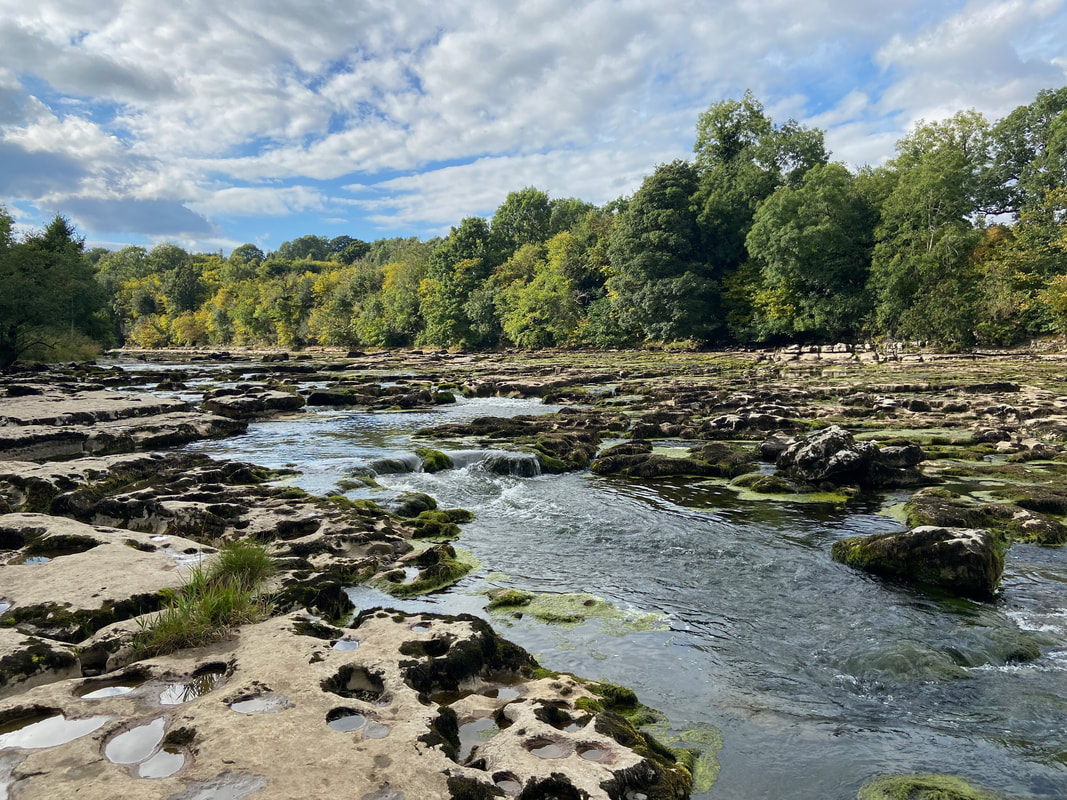
With the river being so low we could have crossed over to the other side without too much difficulty
Continuing above the river we headed to Wensley Bridge - as can be seen we still had a fair way to go
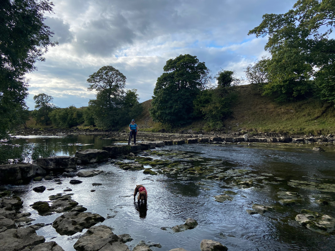
The Stepping Stones over the River Ure at Stony Stoop Lane
Bit of a challenge this one but we all got through it
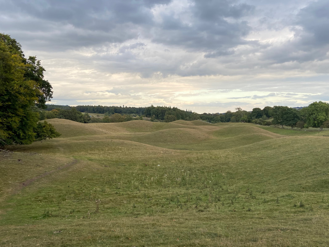
Drumlins above the River Ure. These elongated, teardrop-shaped hills of rock, sand, and gravel were formed under moving glacier ice.
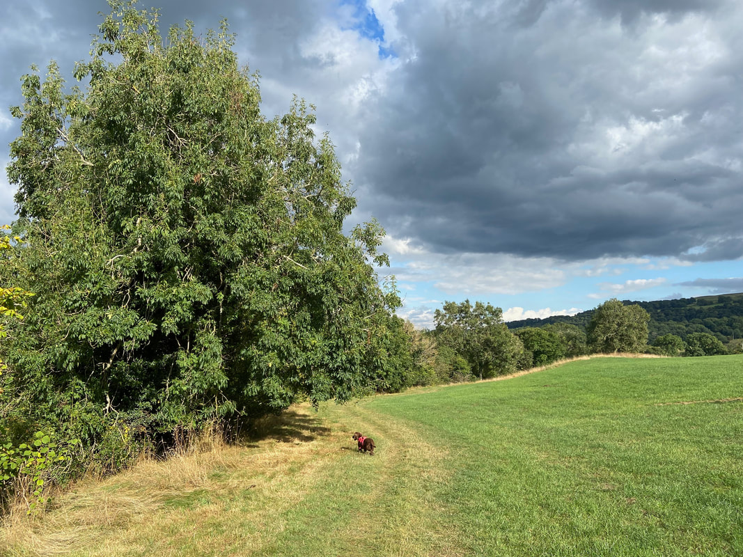
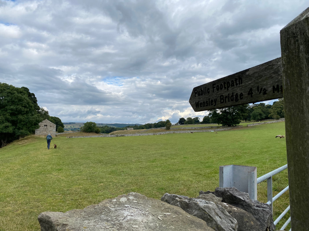
Still a fair old way to go - Wensley is about a mile or so short of Leyburn
Fudge contemplates whether he can be arsed or not to run down to the water
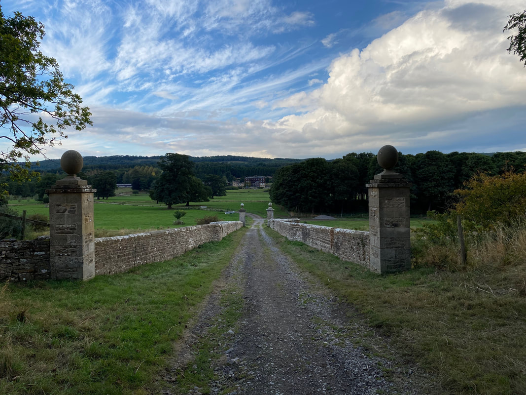
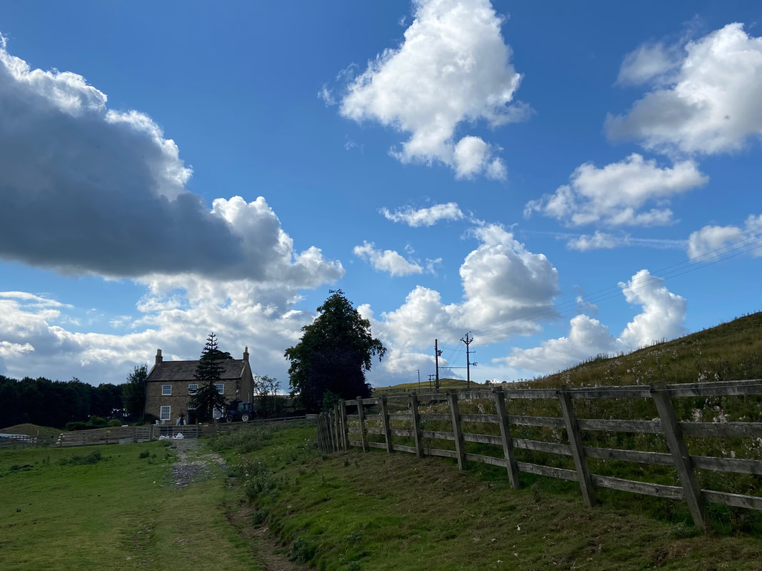
The access track to Bolton Hall. The building was built in the late 17th century and rebuilt after a fire in 1902. It is the main residence of the owner of Bolton Castle, Harry Algar Nigel Orde-Powlett the 8th Baron Bolton.
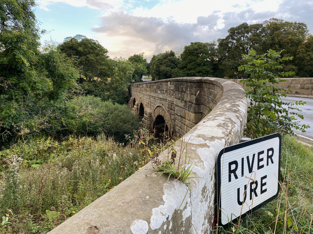
At last, Wensley Bridge over the River Ure
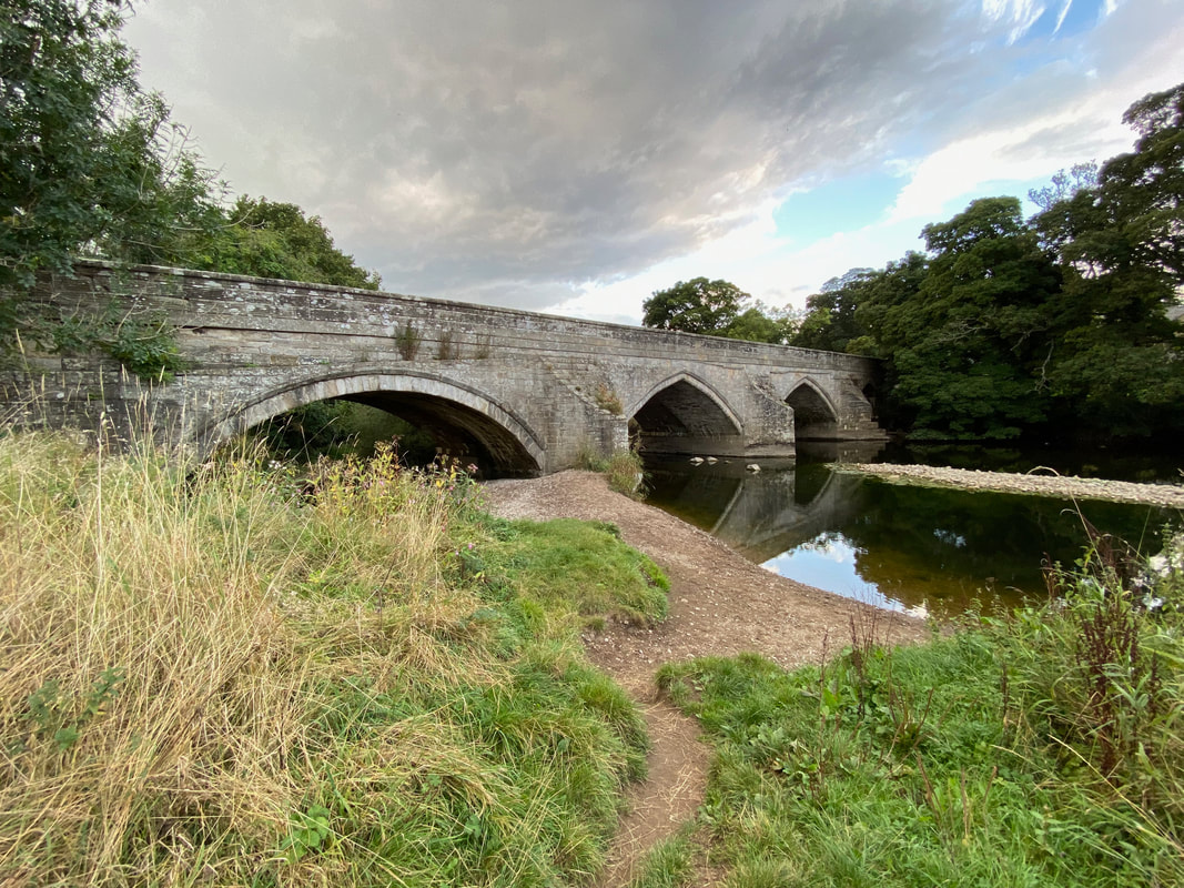
Wensley Bridge
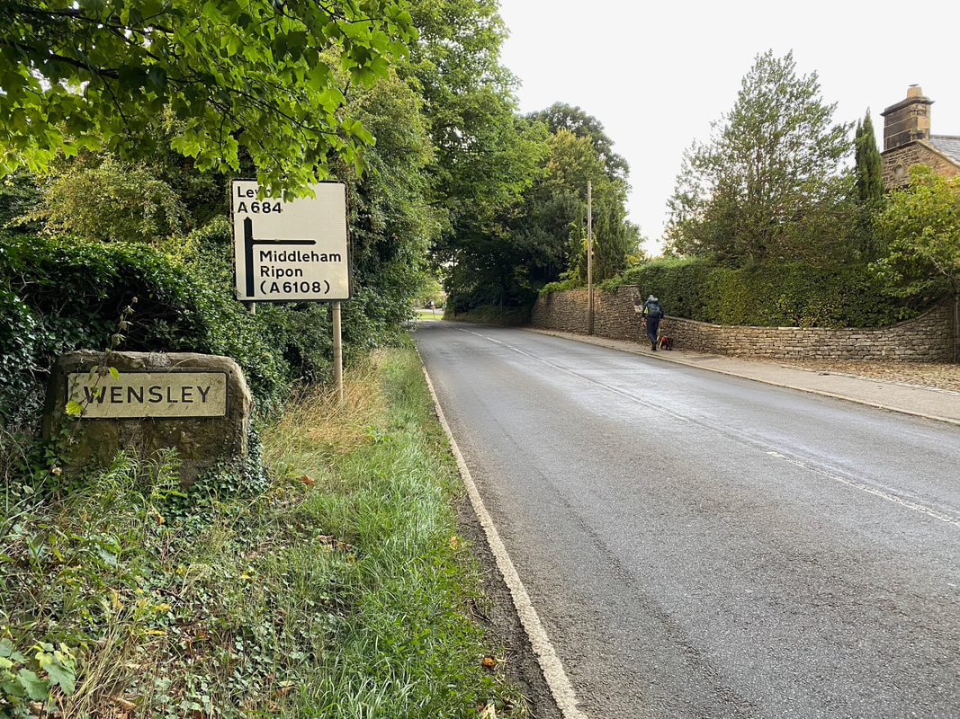
Heading through Wensley there are two options for Leyburn. Either run the gauntlet of the A684 or, as we did take the quieter option of turning right into Low Lane then on to Low Wood Lane.
Holy Trinity Church at Wensley - and this time the clock was right!!
Fudge gives me his "have it" pose as we head up Low Wood Lane back to Leyburn