Knott, Great Sca Fell, Meal Fell & Great Cockup - Saturday 8 August 2020
Route
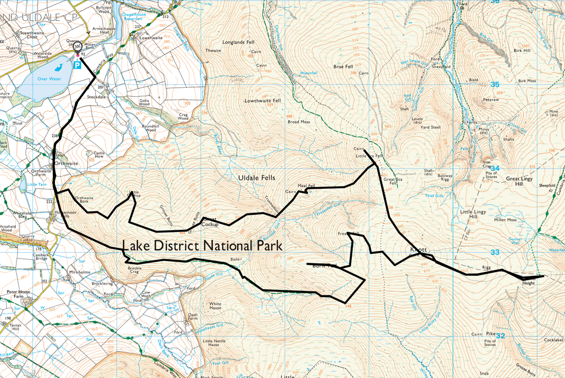
Over Water - Orthwaite - Horsemoor Hills - Brockle Crag - Hause Gill - Burn Tod - Frozen Fell - Knott - Coomb Height - Knott - Great Sca Fell - Little Sca Fell - Meal Fell - Trusmadoor - Great Cockup - Little Cockup - Orthwaite Bank - Horsemoor Hills - Orthwaite - Over Water
Parking
Small Car Park near Overwater where there is room for about 6 sensibly parked cars (Free) - Grid Reference NY25532 35367. The nearest postcode is CA7 1HJ. There is another Car Park a mile further up the route at Orthwaite (Donation) with room for approximately 4 cars - Grid Reference NY25257 34161. The nearest postcode is CA7 1HL.
Mileage
13.4 miles
Terrain
Grassy & stony mountain paths. The transits to Burn Tod, Frozen Fell and Knott were pathless but the going was pretty good.
Weather
Warm & sunny with excellent visibility.
Time Taken
7hrs 10mins
Total Ascent
2591ft (790m)
Wainwrights
4
Map
OL4 - The English Lakes (North Western Area)
Walkers
Dave, Angie & Fudge
|
GPX File
|
| ||
If the above GPX file fails to download or presents itself as an XML file once downloaded then please feel free to contact me and I will send you the GPX file via e-mail.
Route Map
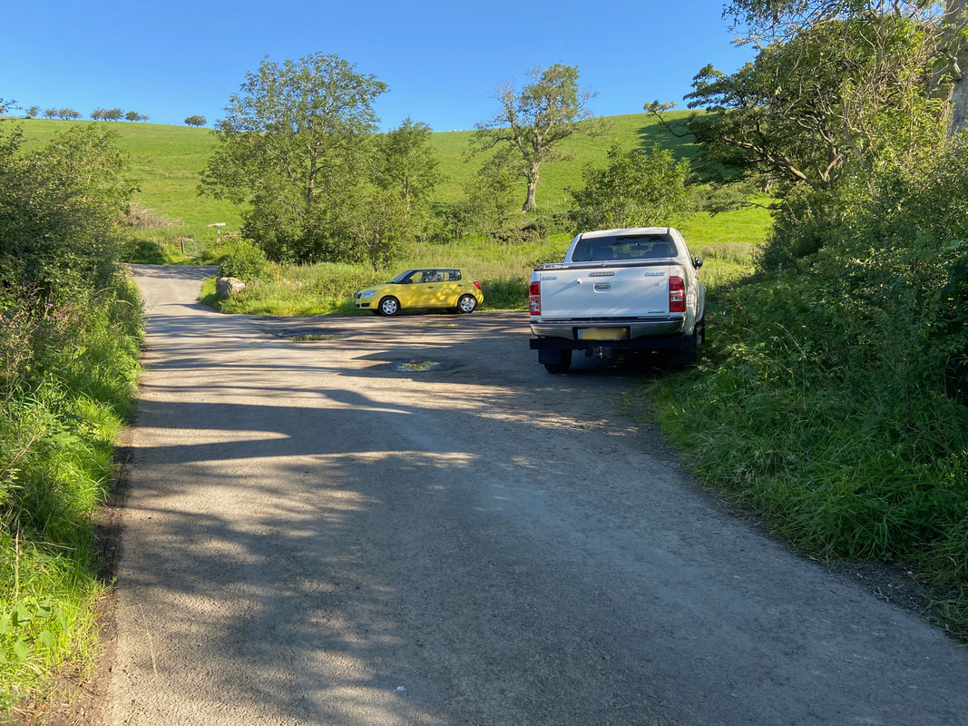
The walk started from the small Car Parking area near Overwater north of Orthwaite
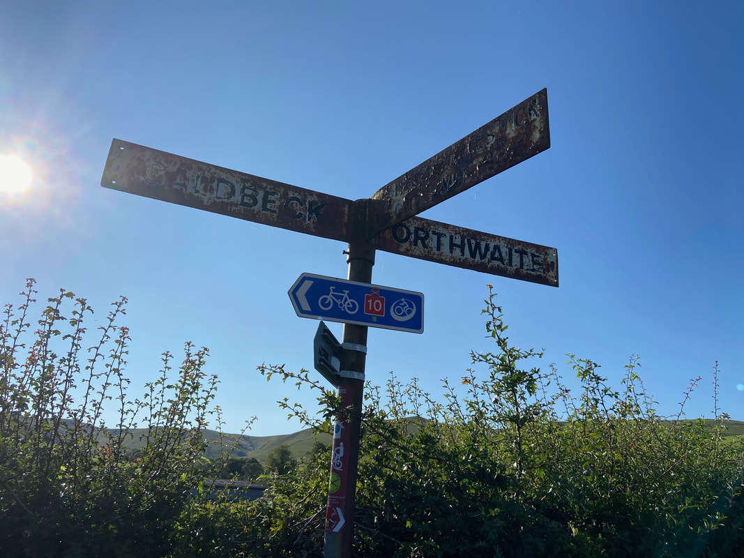
We were heading in the direction of Orthwaite. I think the sign could do with a lick of paint.
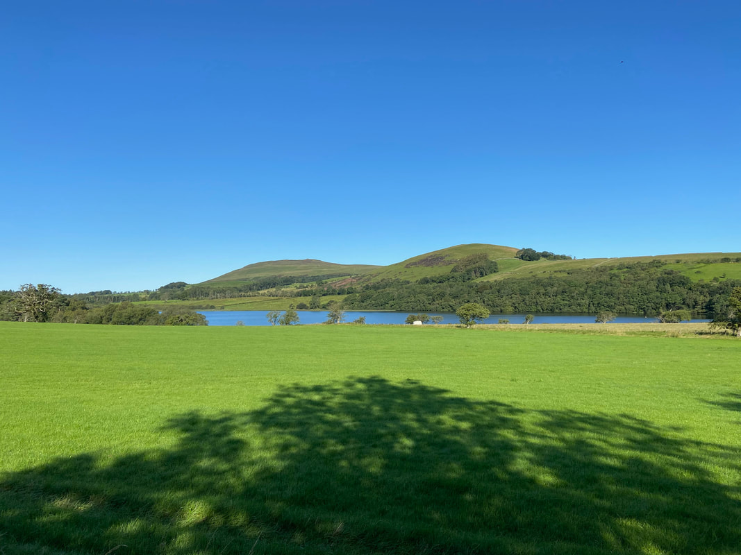
Looking to Binsey & Latrigg (not the Wainwright one!) from Overwater
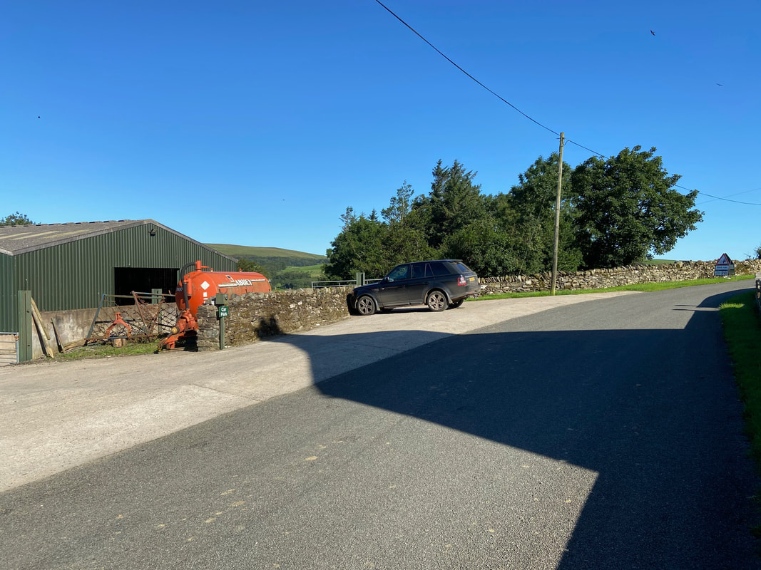
There is a second parking area near Orthwaite Farm. Starting the walk from here would knock 2 miles off today's route.
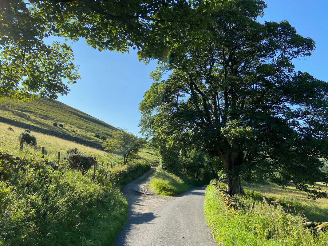
A quarter of a mile further up the road the route heads to the left to follow a farm access track. The road to the right heads to Peter House Farm.
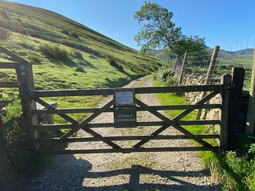
Shortly after turning on to the farm track a gate leads on to Uldale Commons
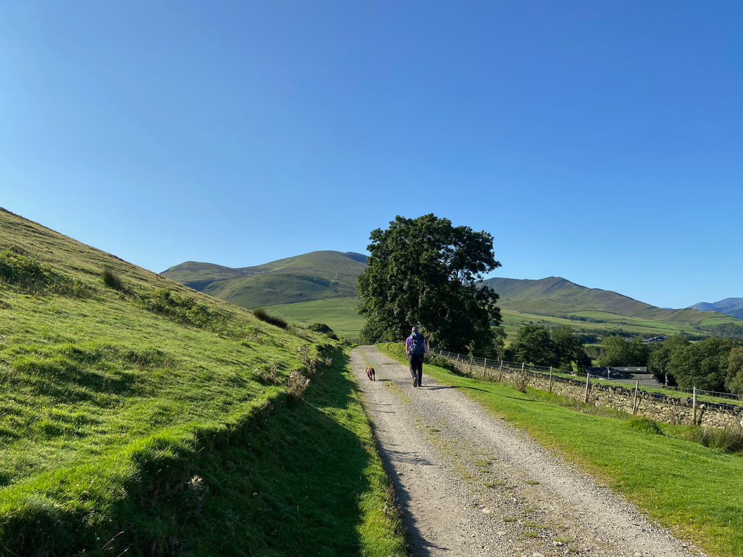
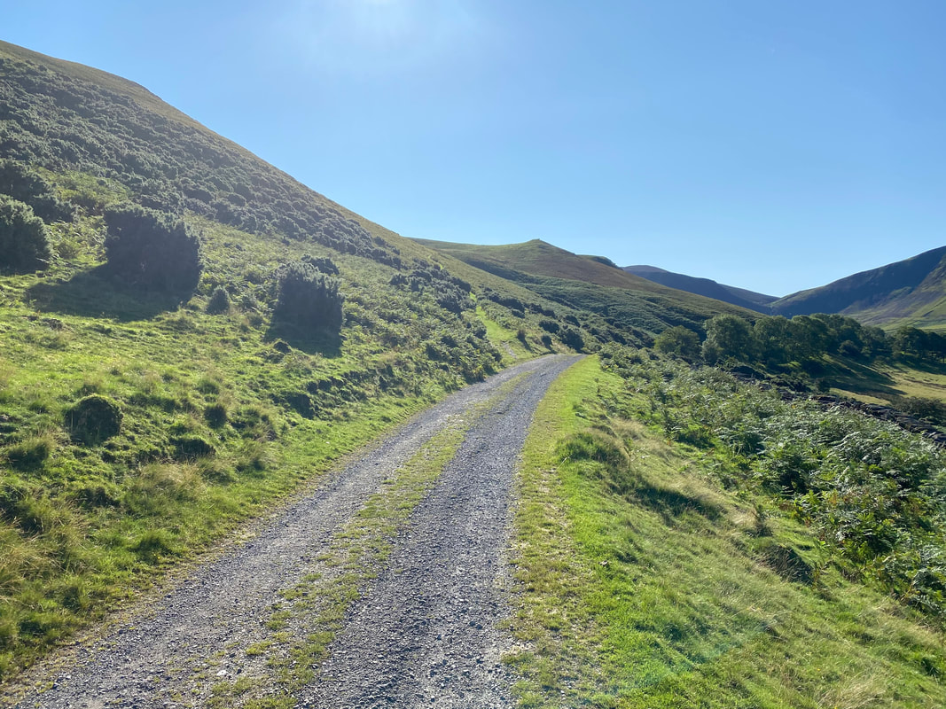
It looks like we are in for a beautiful day as we continue along the farm track. Bakestall, Skiddaw & Ullock Pike are the fells ahead.
The sun hits the lens slightly as our first summit of Brockle Crag comes into view. Just up ahead on the left a bridleway leaves the farm track to head along the southern flank of Great Cockup.
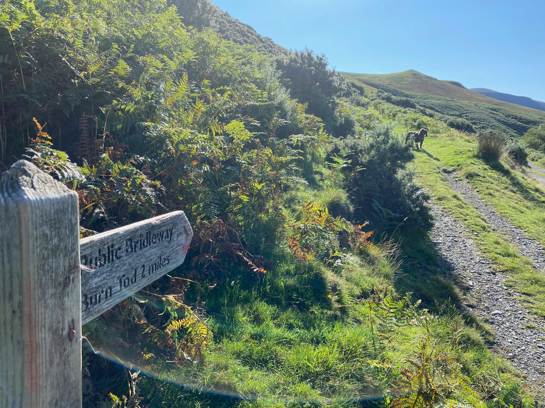
2 miles to Burn Tod via the direct route as Fudge peers out to see what the hold up is. We would be taking a slightly longer route to Burn Tod via the ravine of Hause Gill which would add on another half a mile.
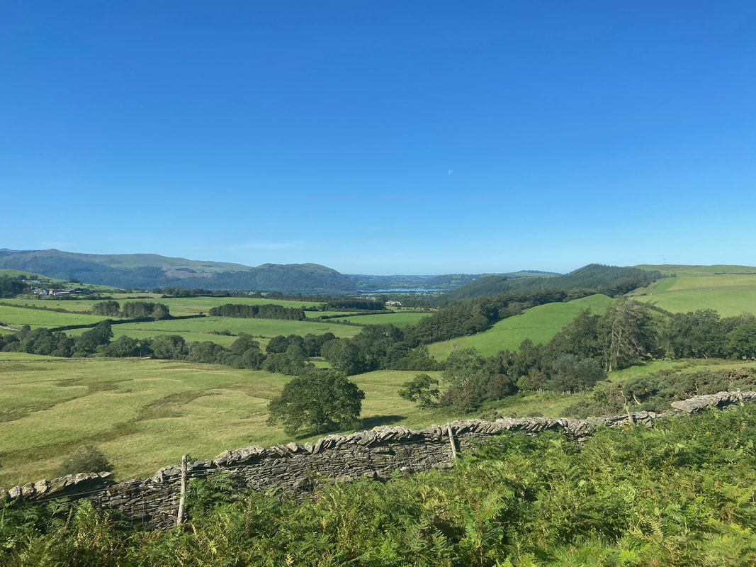
Looking north to Bassenthwaite Lake from the path to Brockle Crag
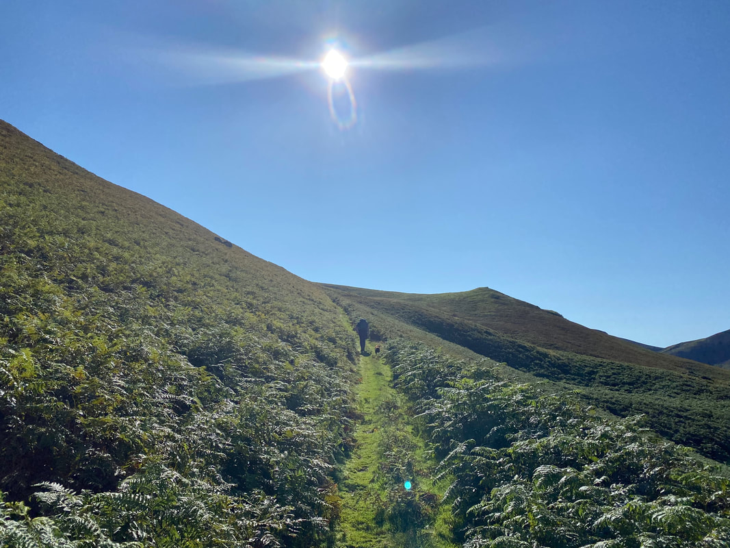
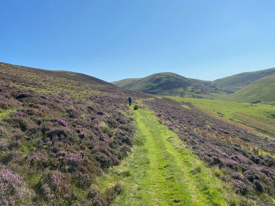
Into the sun as we near Brockle Crag. This is a delightful grassy path through the bracken.
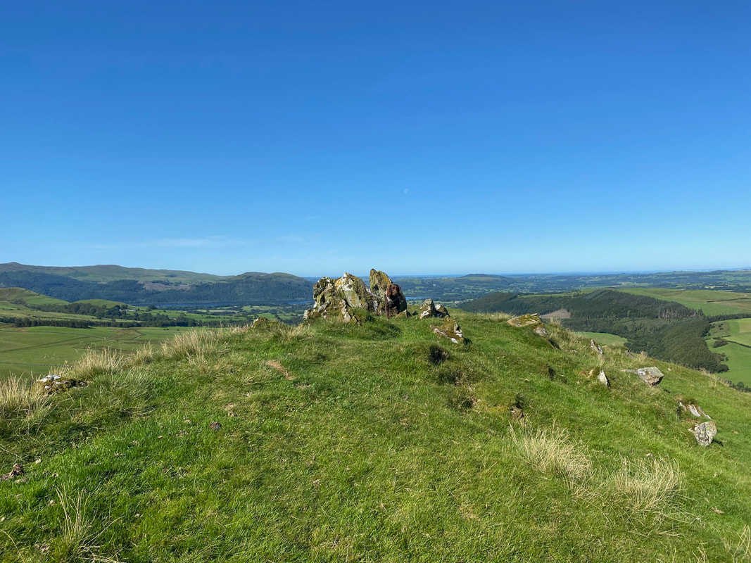
The summit of Brockle Crag which lies just a few yards from the main path
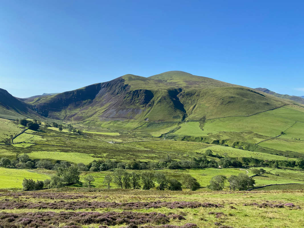
For its modest height Brockle Crag gives superb views, particularly over the Dash Valley to Bakestall, Skiddaw & Cockup.
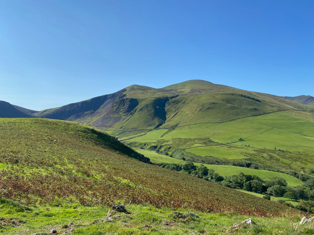
The craggy northern face of Bakestall is called Dead Crags.
The craggy northern face of Bakestall is called Dead Crags.
From Brockle Crag it is a short walk to regain the main path
Another view of Bakestall, Dead Crags, Skiddaw & Cockup from a little further up the path
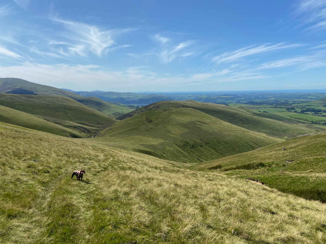
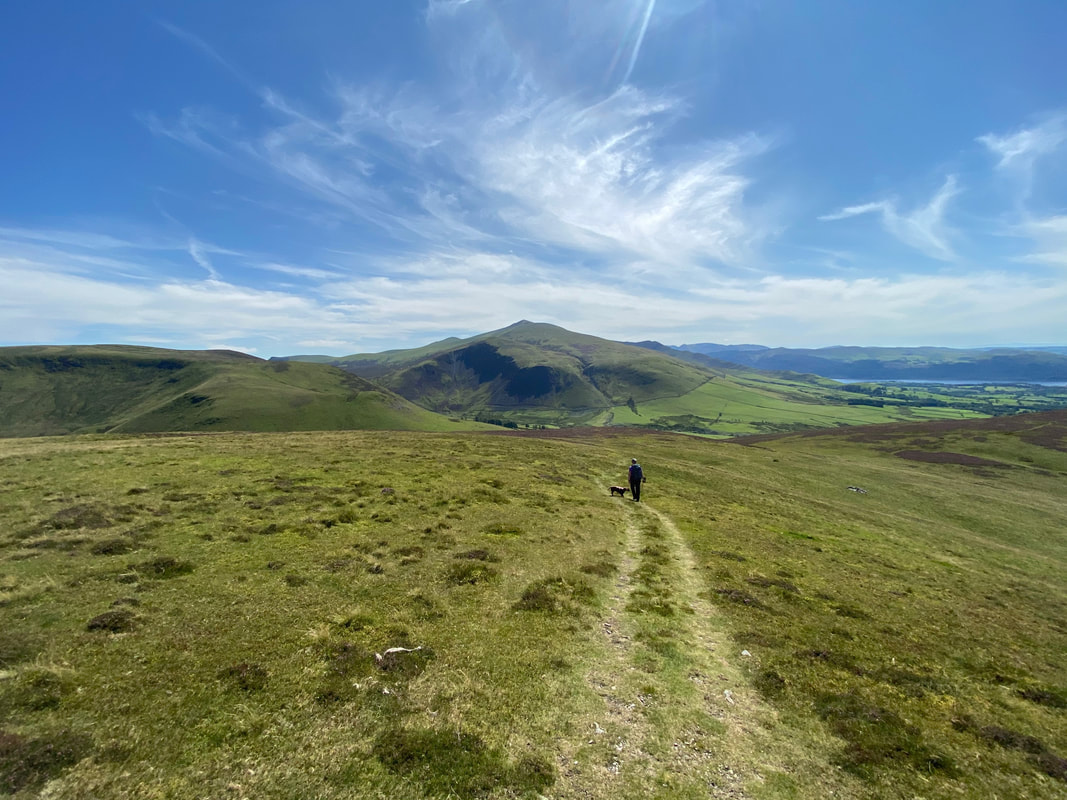
From Brockle Crag the route levels out and continues along the southern flank of Great Cockup with Burn Tod ahead.
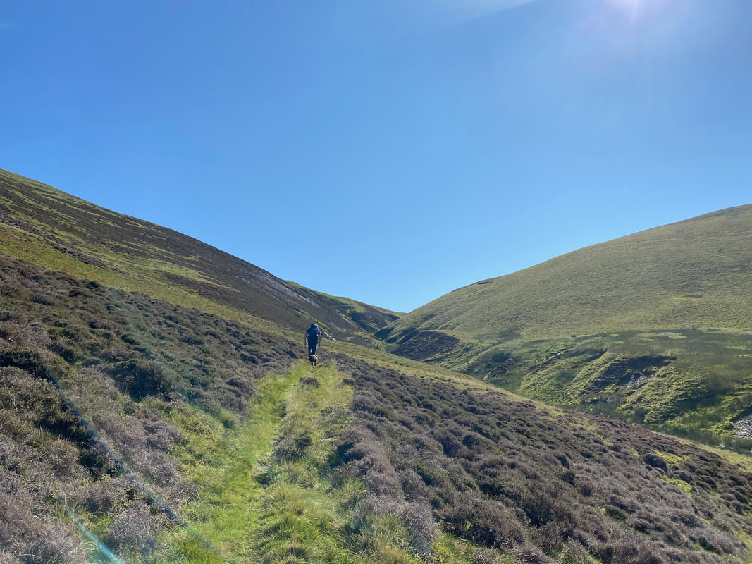
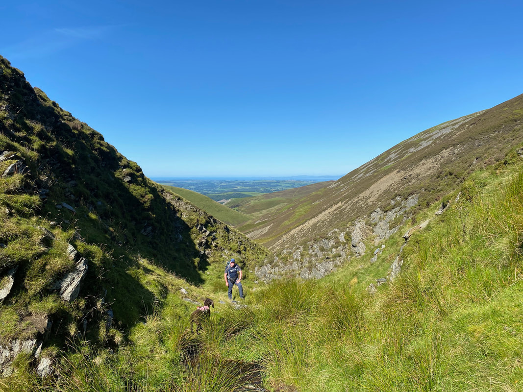
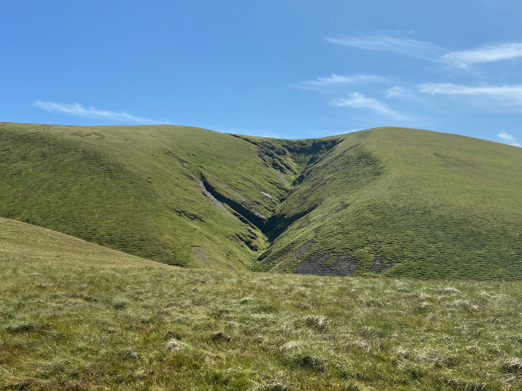
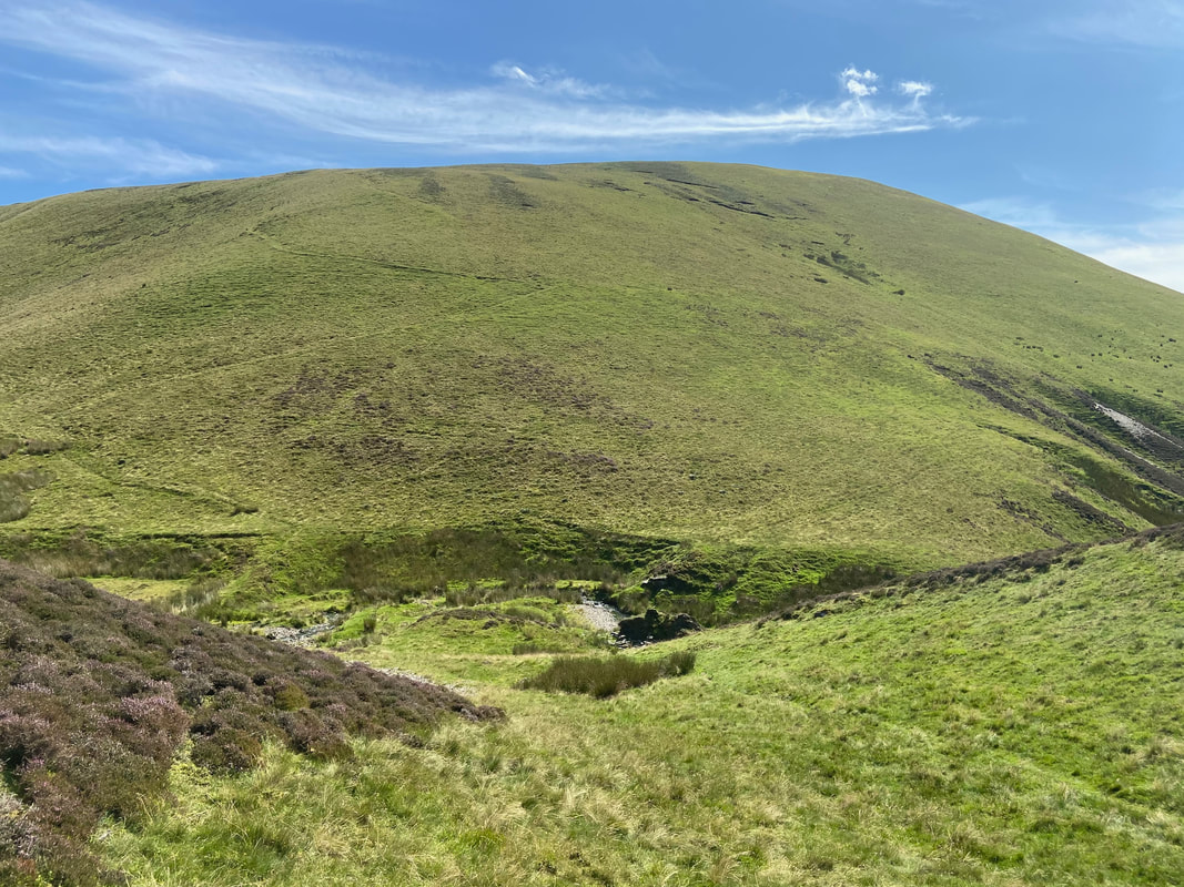
Our route up the Hause Gill ravine is to the right of Burn Tod.
Our route up the Hause Gill ravine is to the right of Burn Tod.
Crossing Burntod Gill
From the crossing of Burntod Gill we continued along level ground parallel with Hause Gill towards the ravine which separates Burn Tod to the left & White Hause to the right.
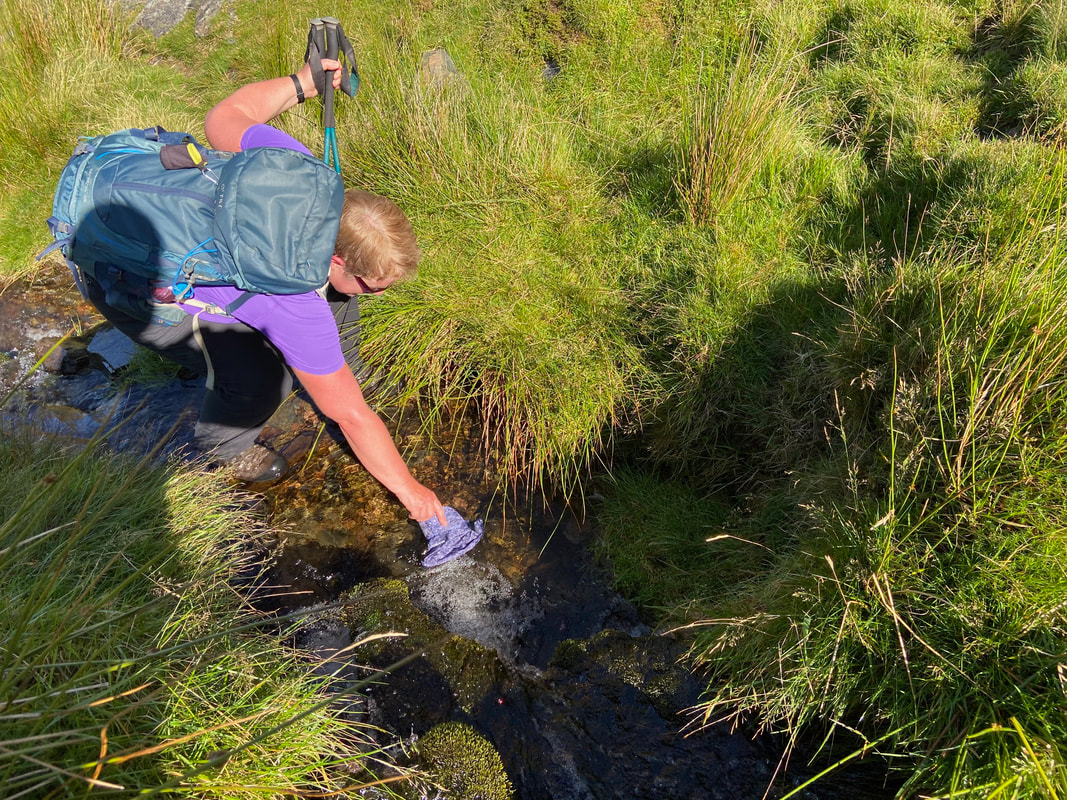
It was starting to get a tad warm now therefore time for a cap dip. Dunk it in the water then straight on to your head.
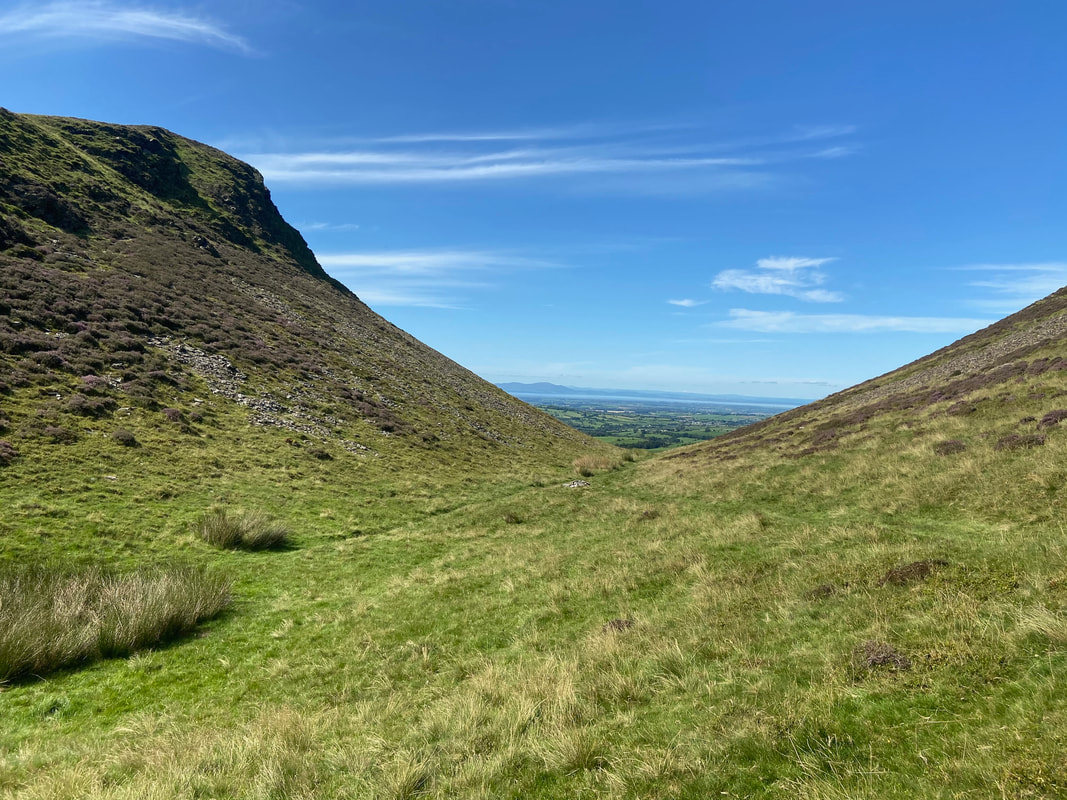
Looking back in to the "wild upper recesses of Hause Gill" (Knott 5)
Looking to Great Calva from the ravine exit point at the col. This was the first time we had climbed Knott by this route and we were sorely tempted to do a quick out & back to Great Calva. However we had enough mileage to do today as it was.
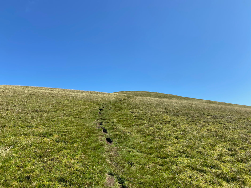
The gentle rising path to Knott from the col - we would be heading off to the left to Burn Tod and rejoining this path later.
Another shot of Great Calva this time with Blencathra for company
Looking back down to the col from the path to Knott with Skiddaw distant. The chap in the pic was descending from Knott and we had a nice chat with him - he was the only person we saw all day.
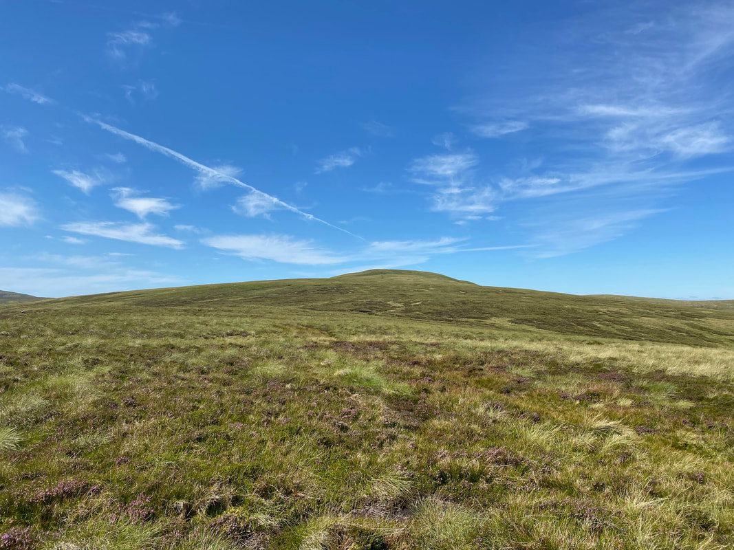
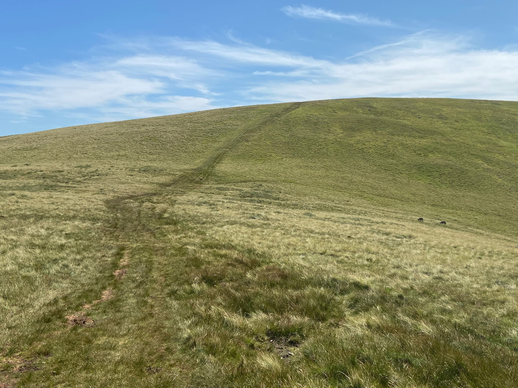
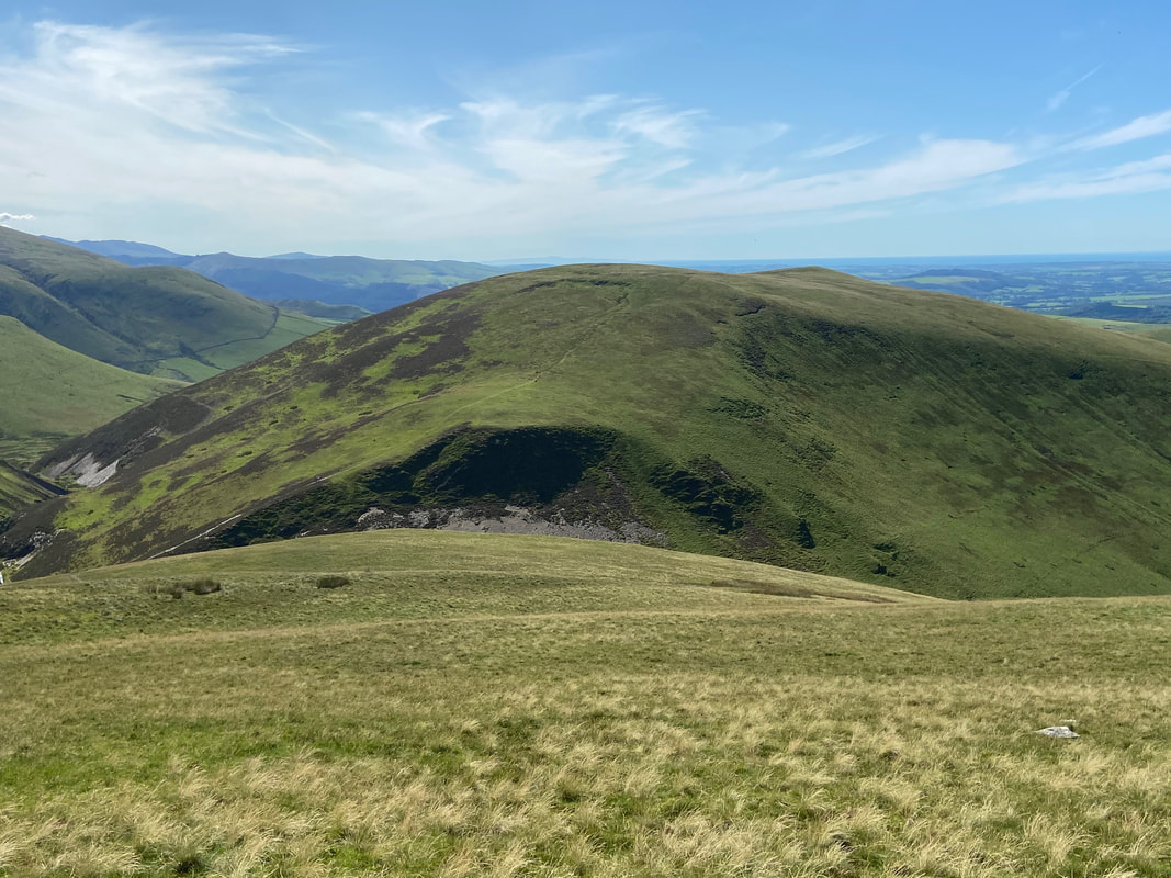
Burn Tod ahead over pathless but easy going terrain
The very understated summit of Burn Tod but what a view
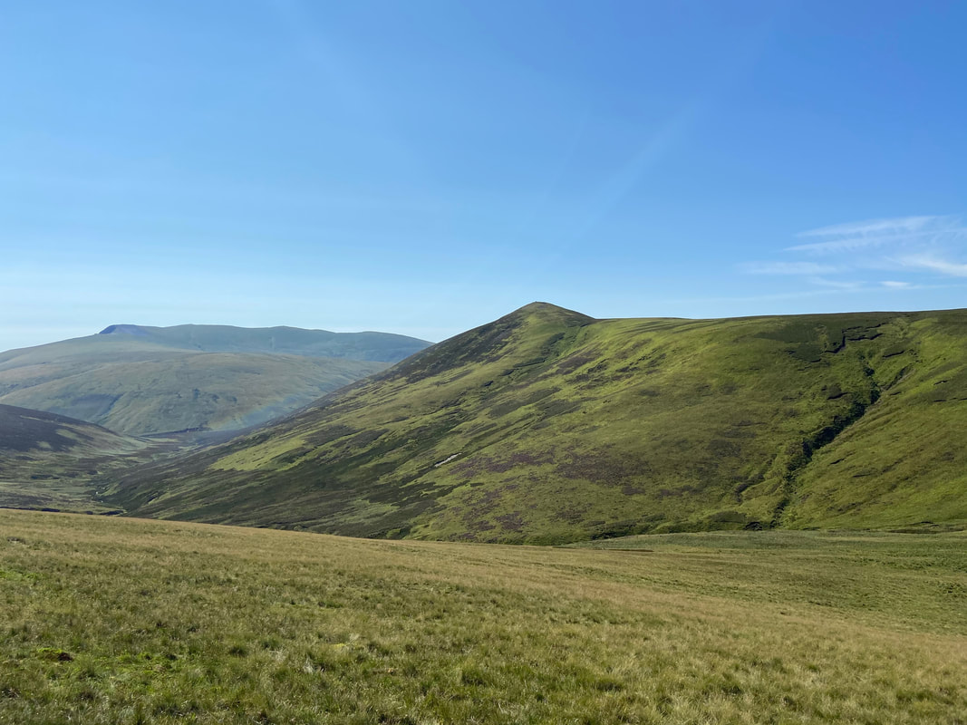
Burn Tod from the route to Frozen Fell. The latter certainly was not living up to its name today.
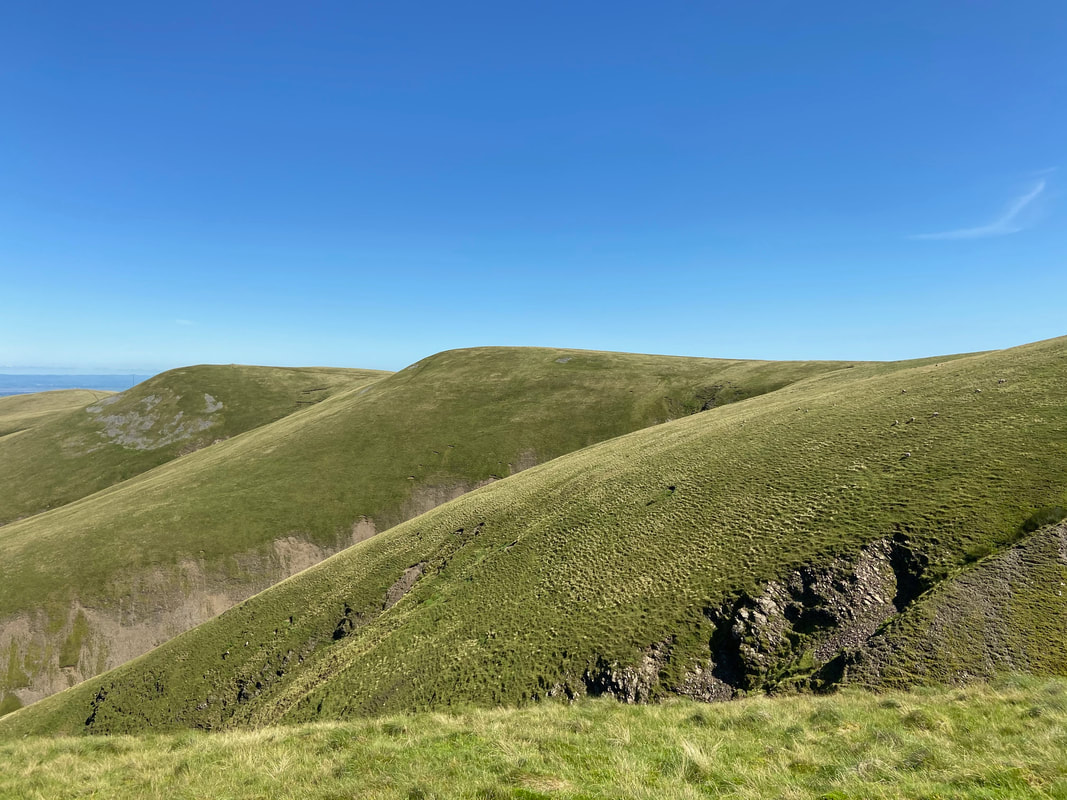
Great Cockup to the left with the pass of Trusmadoor below.
Meal Fell is in the centre with Lowthwaite Fell & Longlands Fell to the right.
Meal Fell is in the centre with Lowthwaite Fell & Longlands Fell to the right.
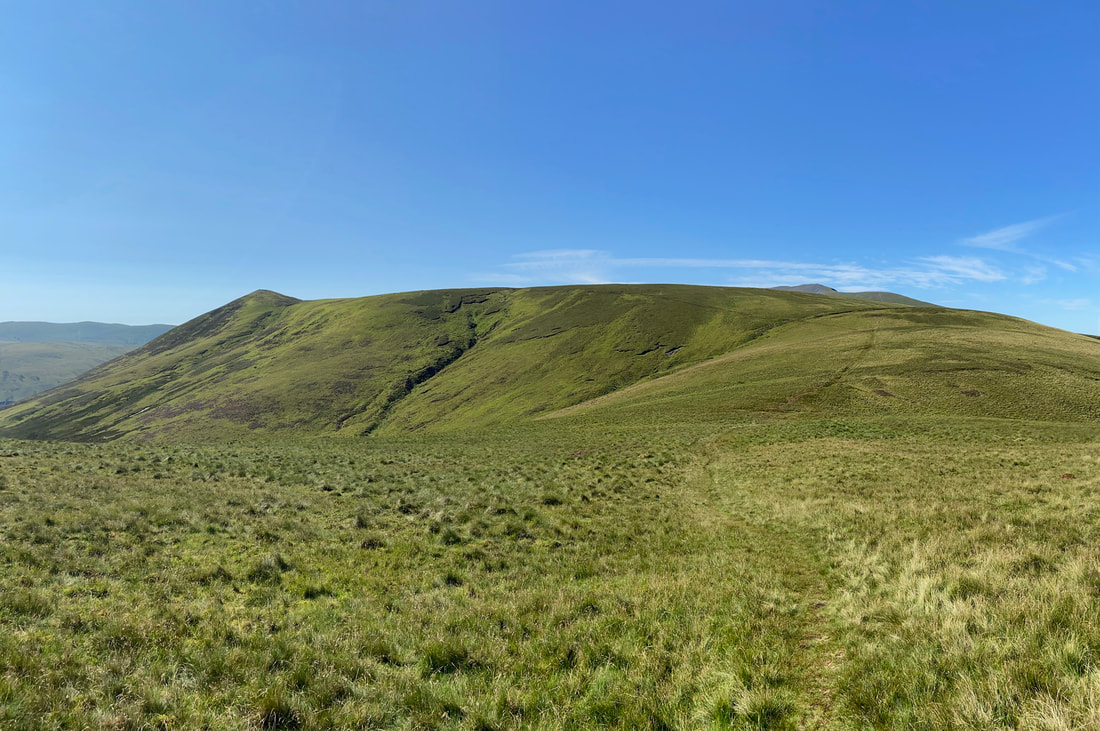
Looking over the slopes of Frozen Fell to Little & Great Sca Fell
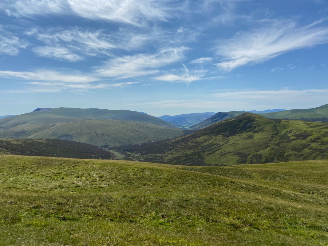
Blencathra from the summit of Frozen Fell with Lonscale Fell & Great Calva to the right
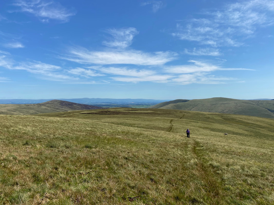
From Frozen Fell we made our way over pathless ground to reach the summit of Knott
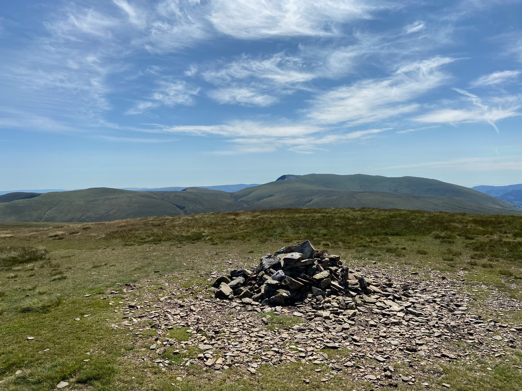
The summit of Knott looking to High Pike & Carrock Fell with the Pennines in the far distance
From Knott we headed on an out and back to visit the Birkett of Coomb Height - a 2 mile round trip but well worth it.
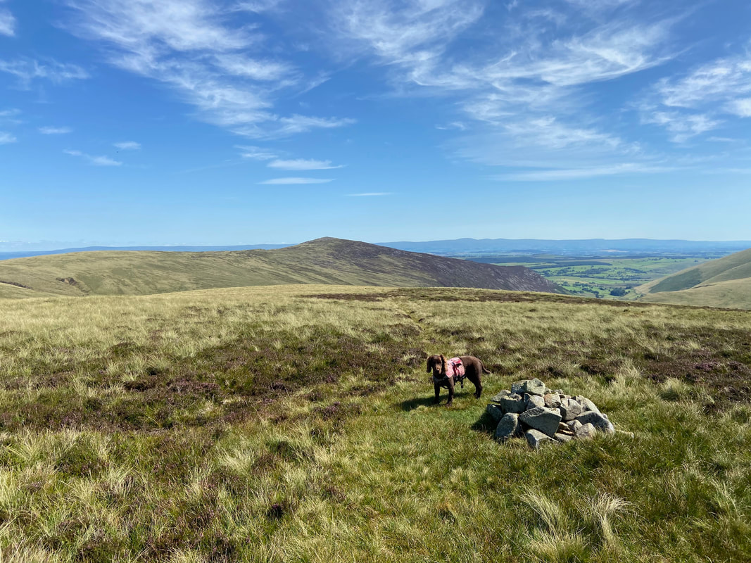
The summit of Coomb Height looking to Carrock Fell
As can be seen, Fudge was ecstatic to bag another Birkett
Knott from Coomb Height
Heading back to Knott from Coomb Height with Carrock Fell left & Bowscale Fell to the right
Back at the summit of Knott - and still no one here
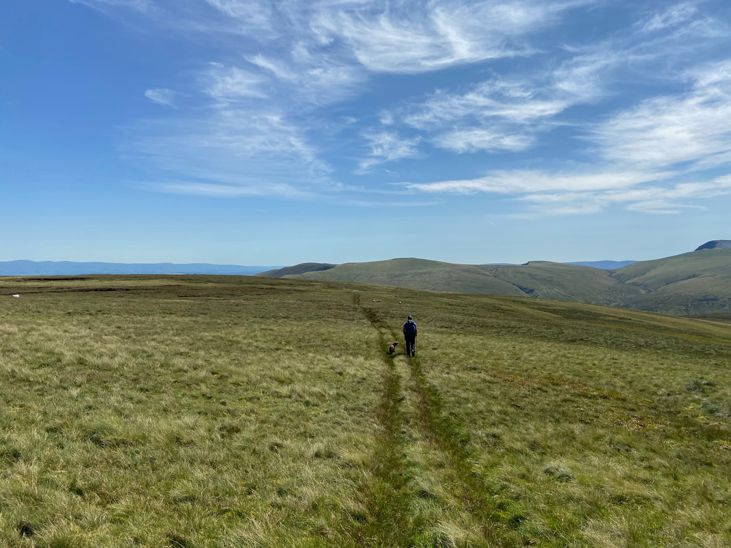
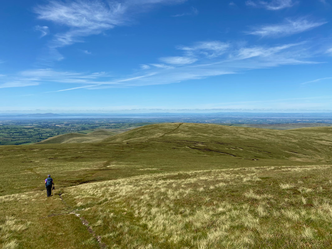
From Knott we headed to Great Sca Fell which was 3/4 mile away. The transit between the two fells has a reputation for being very boggy but to be honest it was excellent going today.
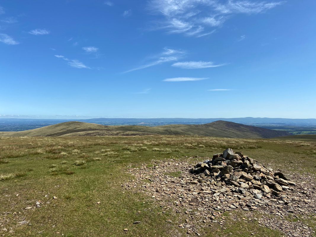
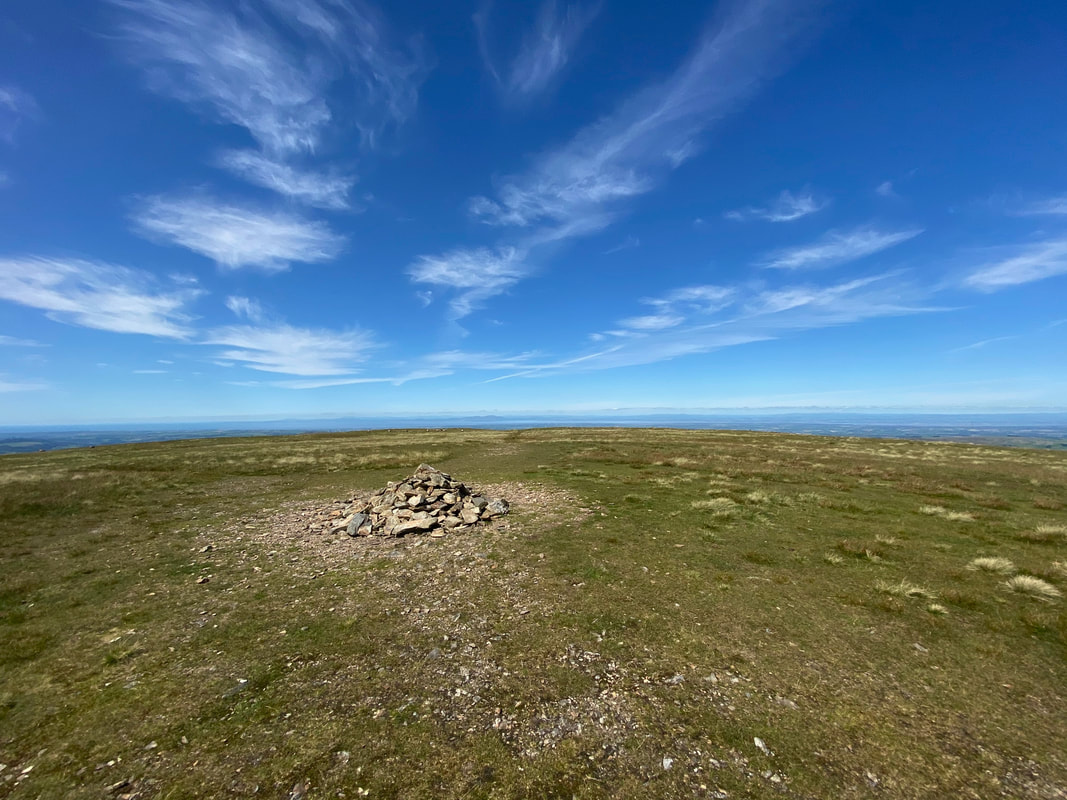
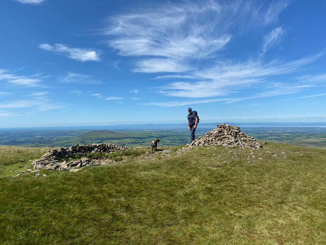
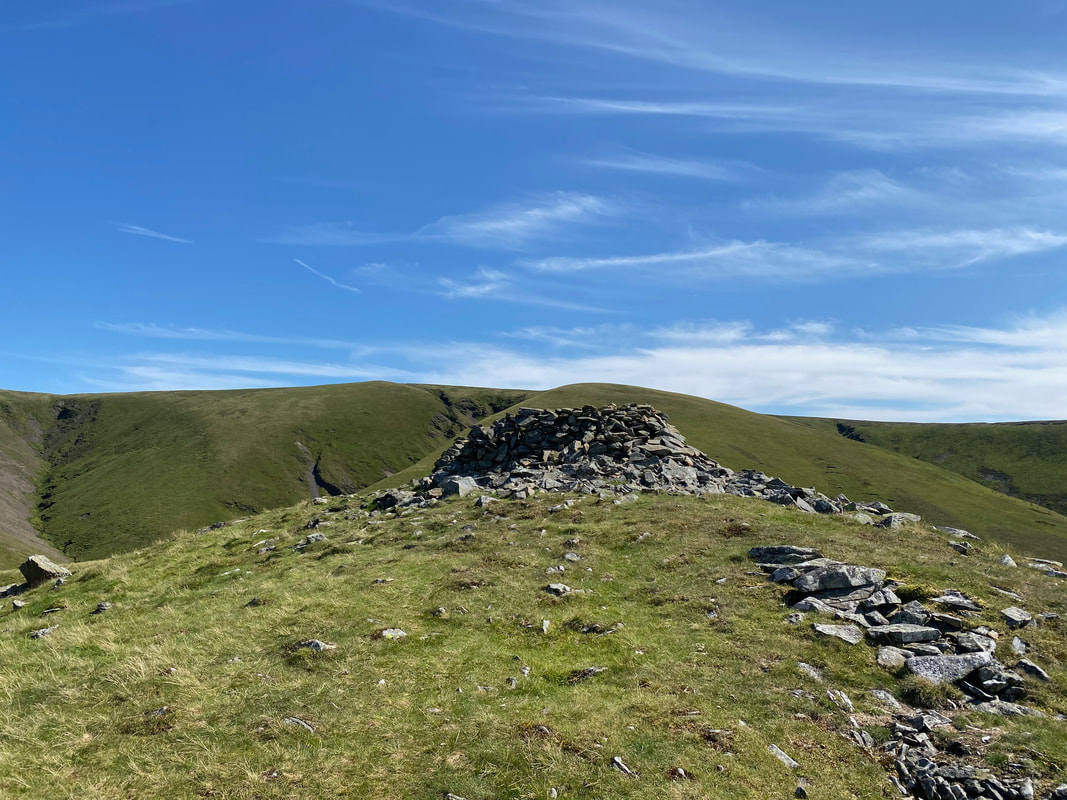
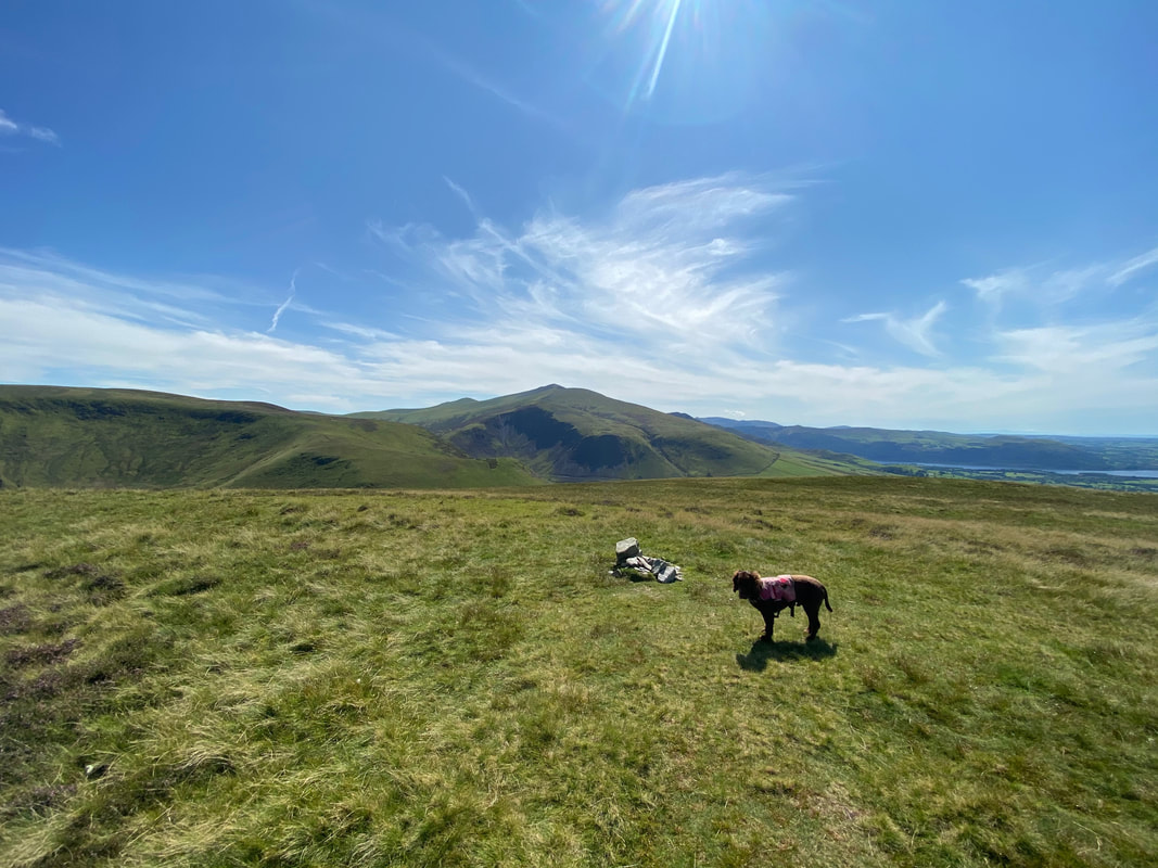
The summit of Great Sca Fell
From Great Sca Fell we made the short hop over to Little Sca Fell and its excellent lunching shelter
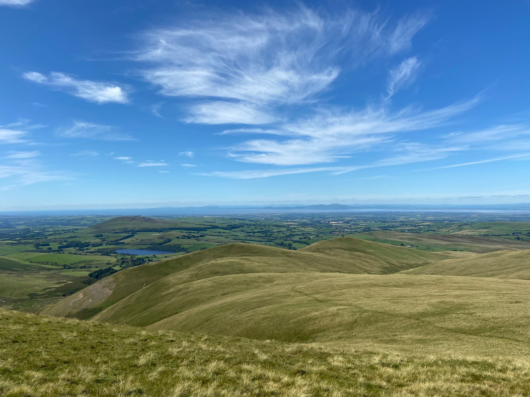
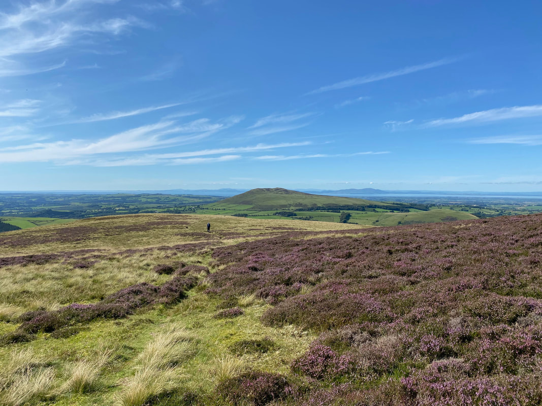
Binsey, Overwater, Lowthwaite Fell & Longlands Fell from Little Sca Fell
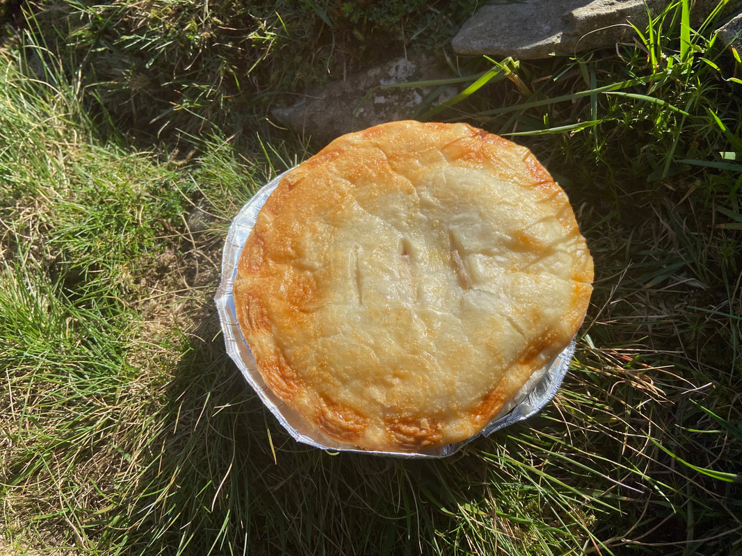
A Cranstons Chicken & Ham Pie for lunch - proper fell walking grub
Great Sca Fell from Little Sca Fell - our path to Meal Fell can be seen leaving the col to the right
Meal Fell ahead
Little Sca Fell from the path to Meal Fell
Little Sca Fell & Great Sca Fell. Our path can be seen from the col between the two slanting across the slopes of Great Sca Fell.
Frozen Fell - looks an interesting way up Frozen Fell Gill. Maybe for next time.
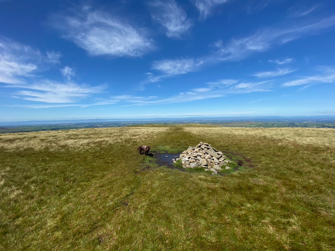
The summit cairn on Meal Fell
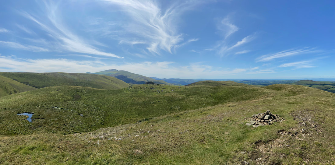
A summit panorama from Meal Fell
The summit of Meal Fell looking to the stone shelter
The impressive shelter on the summit of Meal Fell
Descending to the delightful pass of Trusmadoor with Great Cockup to the rear
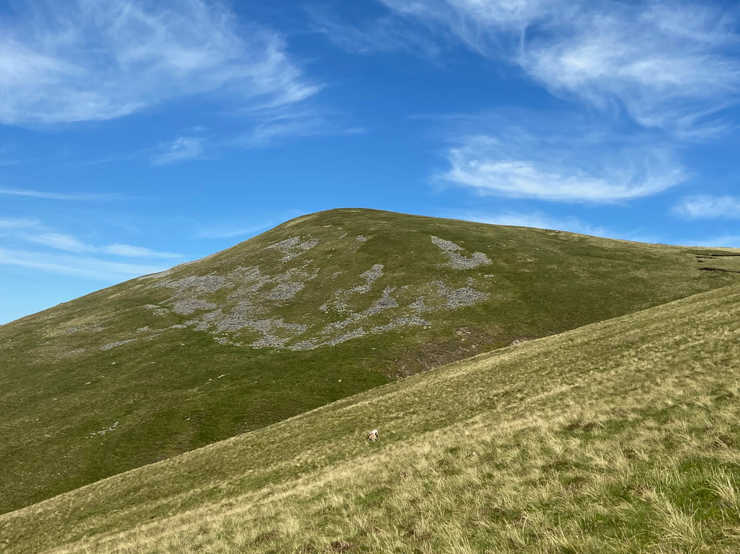
The descent to Trusmadoor is gradual at first then steepens for the last 200 yards
The pass of Trusmadoor - described by Wainwright as "the Piccadilly Circus of sheep in that locality" (Meal Fell 3)
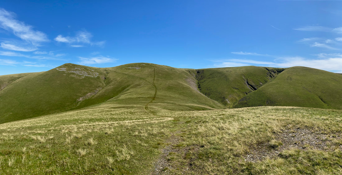
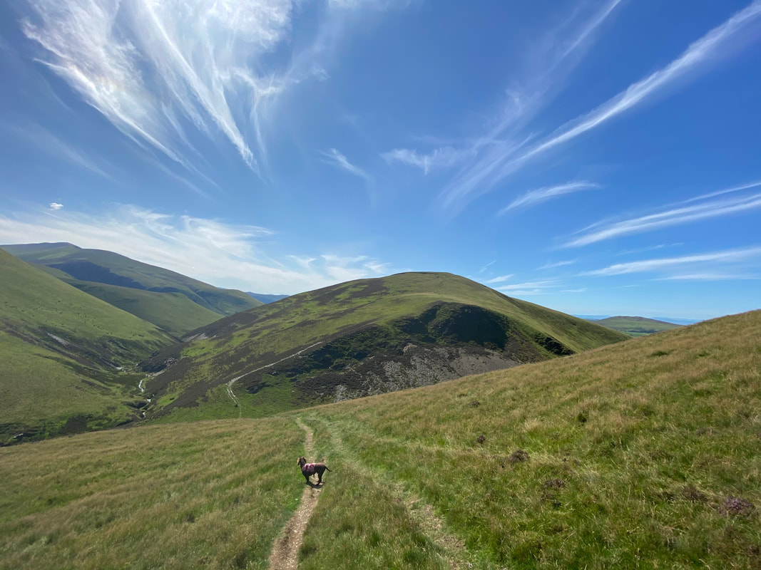
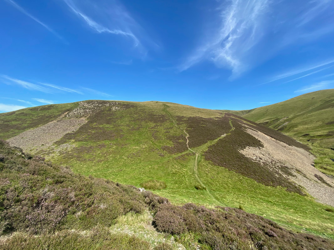
The zig zag path up to Burn Tod from Burntod Gill
Looking back at our descent to Trusmadoor from Meal Fell
The summit of Great Cockup
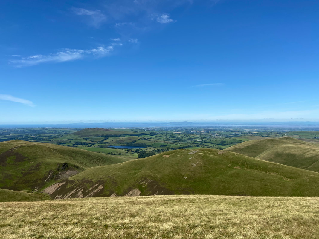
Binsey, Overwater and the Solway Firth from Great Cockup. The mountain on the right in the far distance is Criffel.
From Great Cockup a good path heads gently downhill to Little Cockup
The route down to Little Cockup was a superb transit over springy turf
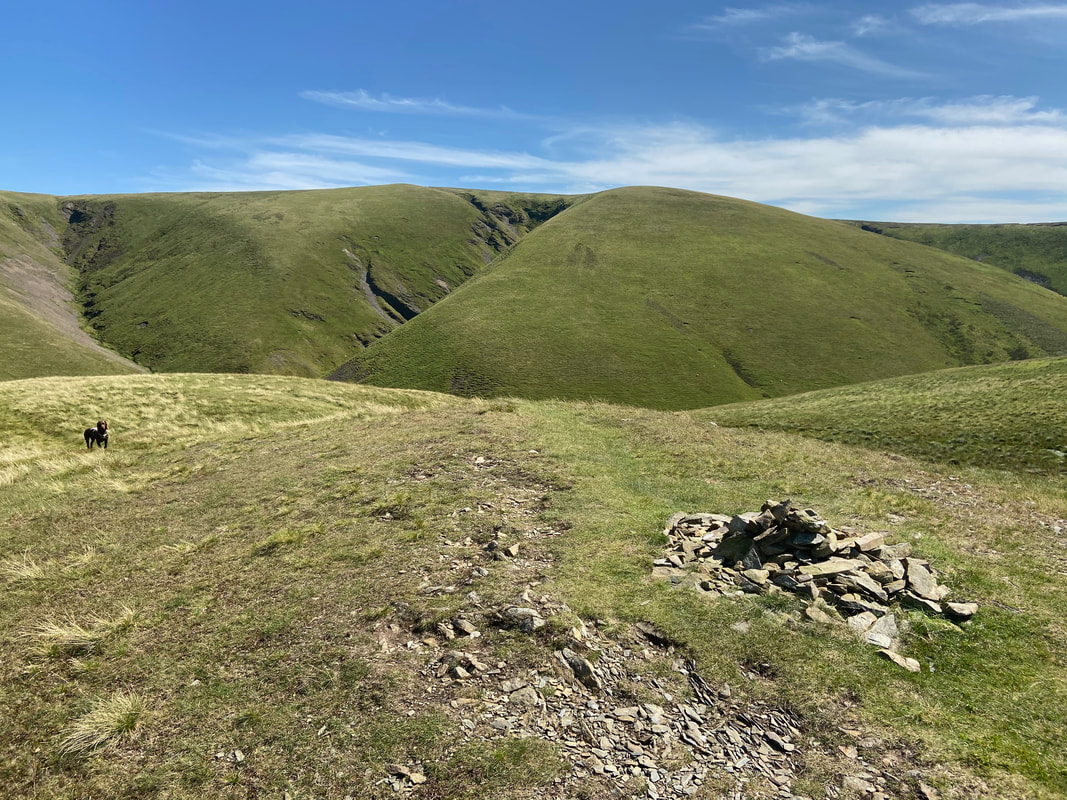
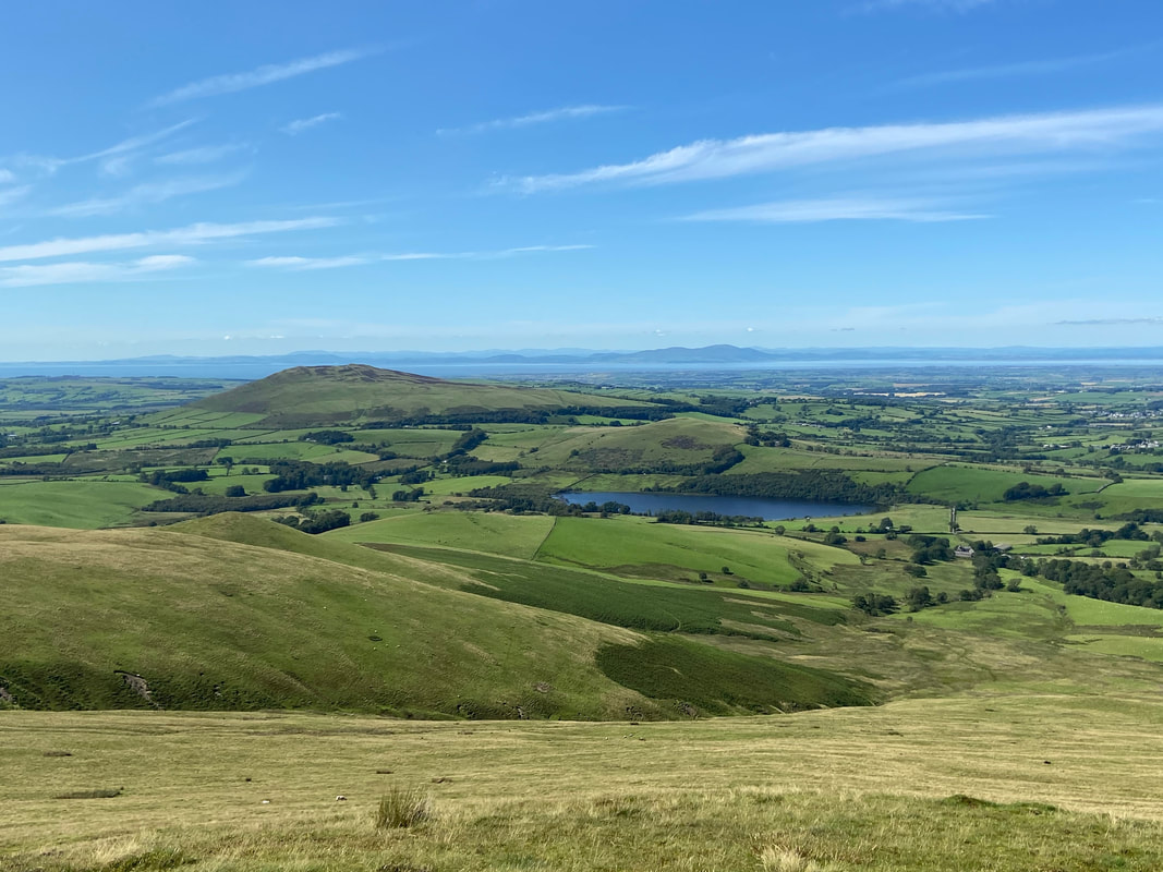
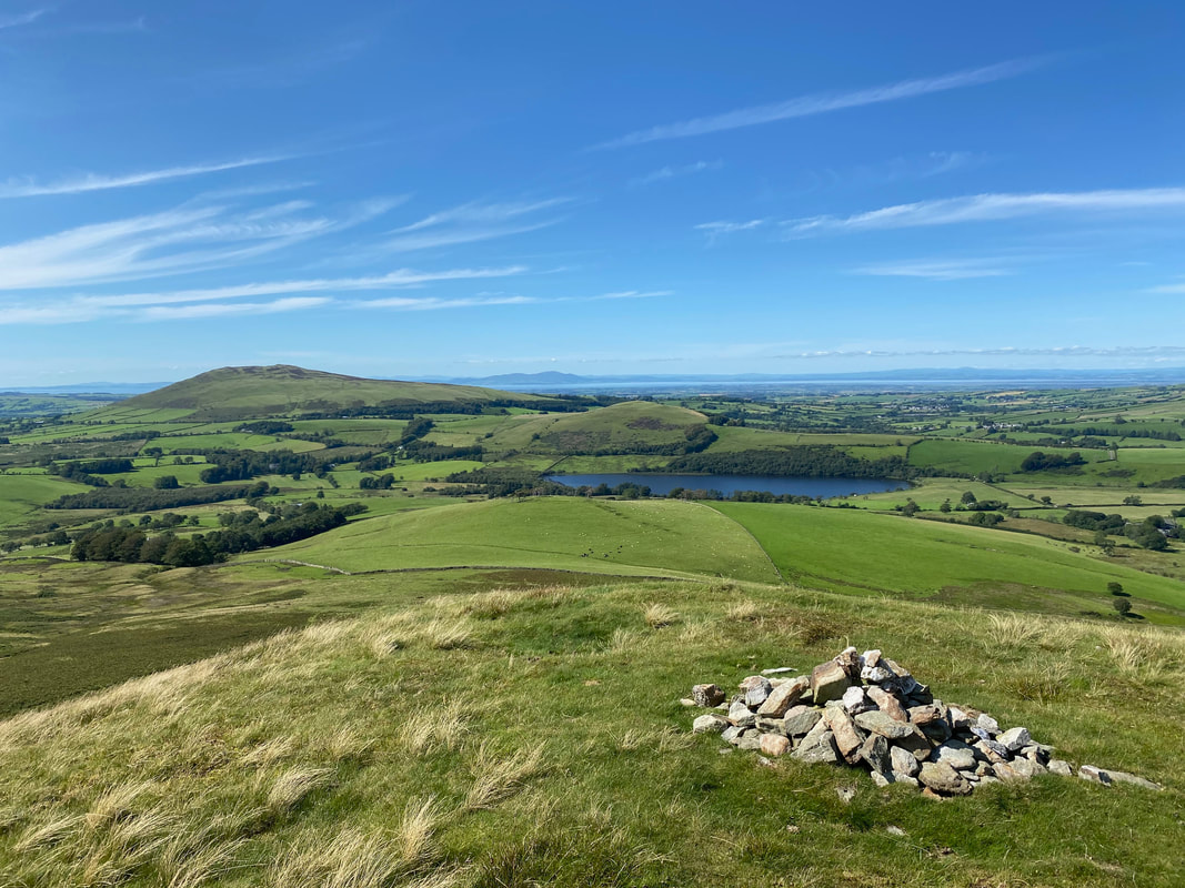
The summit of Little Cockup. The Car Park we started from is at the right hand side of the lake.
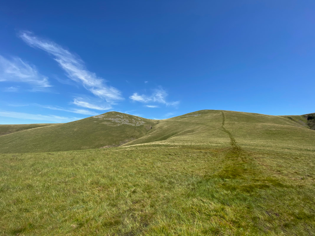
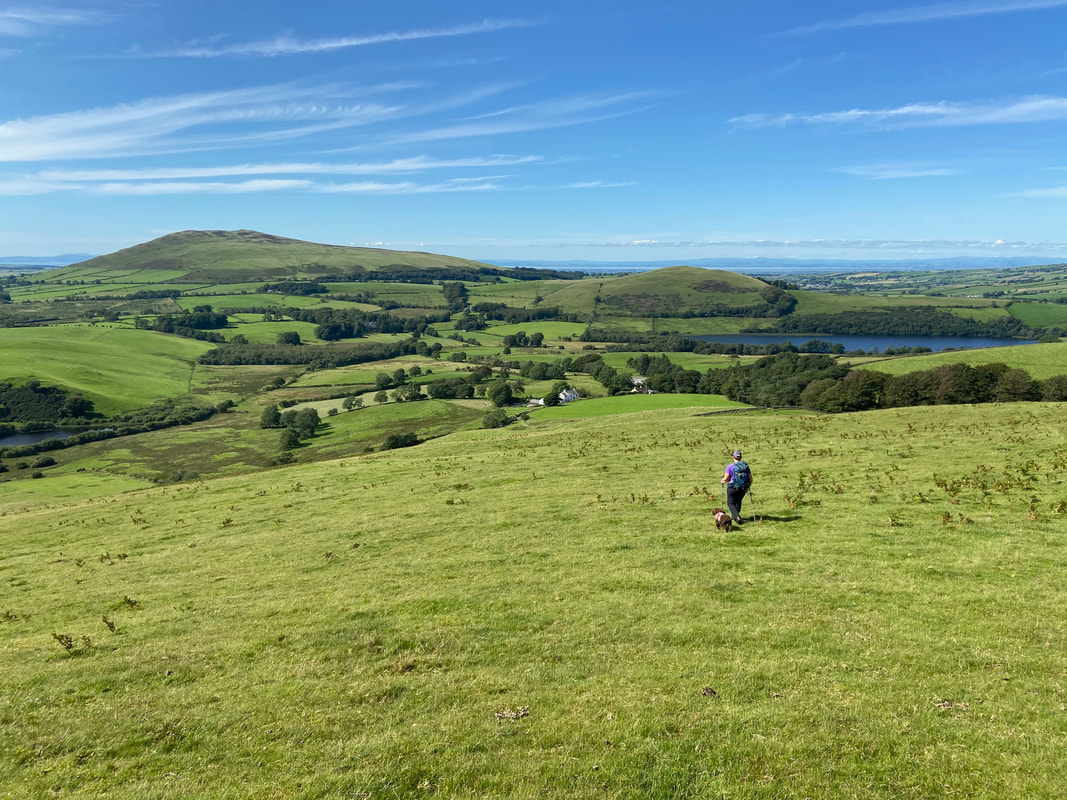
Heading over Orthwaite Bank - another superb route in fantastic conditions.
