Eildon Hills - Monday 30 September 2019
Route
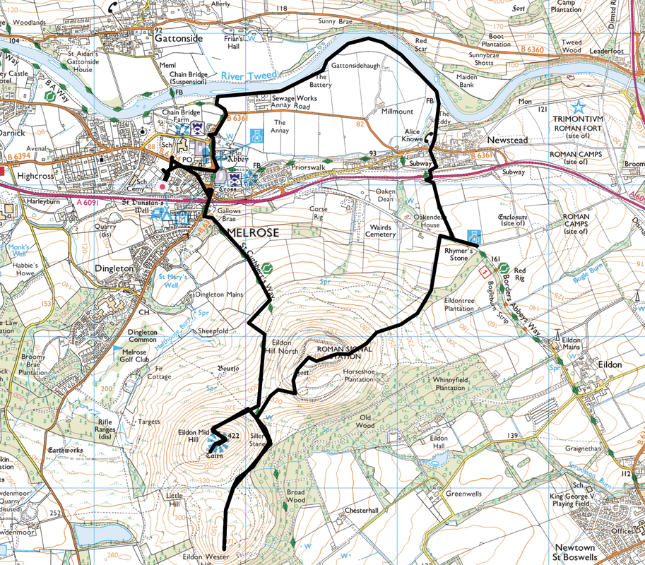
Melrose - Gallows Brae - St Cuthbert's Way - Eildon Mid Hill - Eildon Wester Hill - Eildon Hill North - Rhymer's Stone - Alice Knowe - River Tweed - The Battery - Melrose Abbey - Melrose
Parking
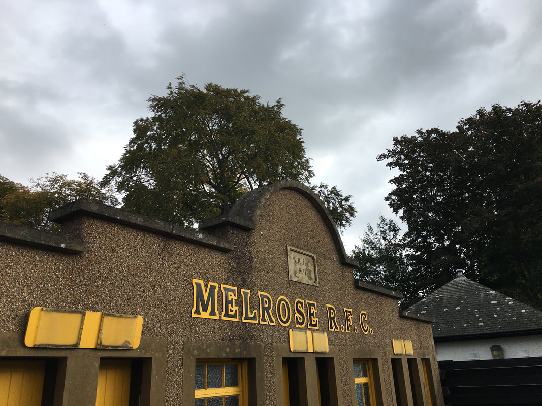
We started the walk from Melrose Rugby Club as we were staying nearby. There is plenty of roadside and pay & display parking in Melrose.
Mileage
8 miles
Terrain
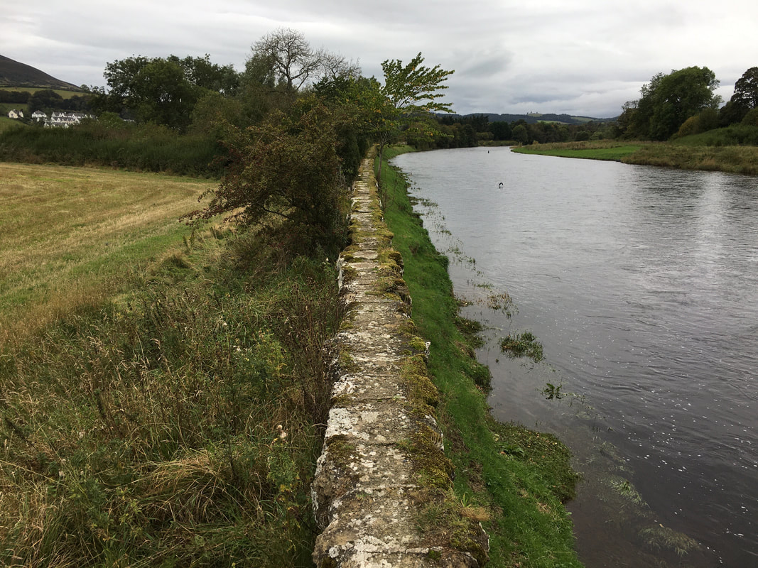
Good paths throughout with some road walking along quiet lanes. The section along the River Tweed includes a walk along a high stone wall above the river known as Battery Dyke (see pic below). The walk along the wall may not suit everybody, particularly those uncomfortable with heights therefore if this is the case then the Eildon Hills Walk waymarkers can be followed once you pass under the A6091 via the underpass and will return you to Melrose.
Weather
Overcast with good visibility
Time Taken
4hrs 30mins
Total Ascent
2155ft (657m)
Map
OS Explorer 338 - Galashiels, Selkirk & Melrose
|
GPX File
|
| ||
If the above GPX file fails to download or presents itself as an XML file once downloaded then please feel free to contact me and I will send you the GPX file via e-mail.
Route Map
The walk started from The Greenyards, the home of Melrose Rugby Football Club. The club was founded in 1877 and former players include Doddie Weir, Bryan Redpath & Craig Chalmers. The club is sited on the A6091 which runs through Melrose between Galashiels & Newton St Boswells.
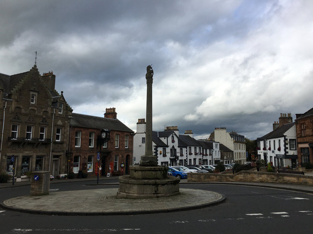
The Mercat Cross in the Market Square in Melrose.
The Mercat Cross was traditionally a symbol of the trading rites of Scottish market towns and villages. A law passed by King William the First (1165-1214) required that all goods for sale in burghs be presented at the "mercat and mercat cross". Not only were the crosses centres of trade and symbols of a town's trading status, they were also used as sites of proclamation and punishments of criminals, usually in the form of public humiliation.
The Mercat Cross was traditionally a symbol of the trading rites of Scottish market towns and villages. A law passed by King William the First (1165-1214) required that all goods for sale in burghs be presented at the "mercat and mercat cross". Not only were the crosses centres of trade and symbols of a town's trading status, they were also used as sites of proclamation and punishments of criminals, usually in the form of public humiliation.
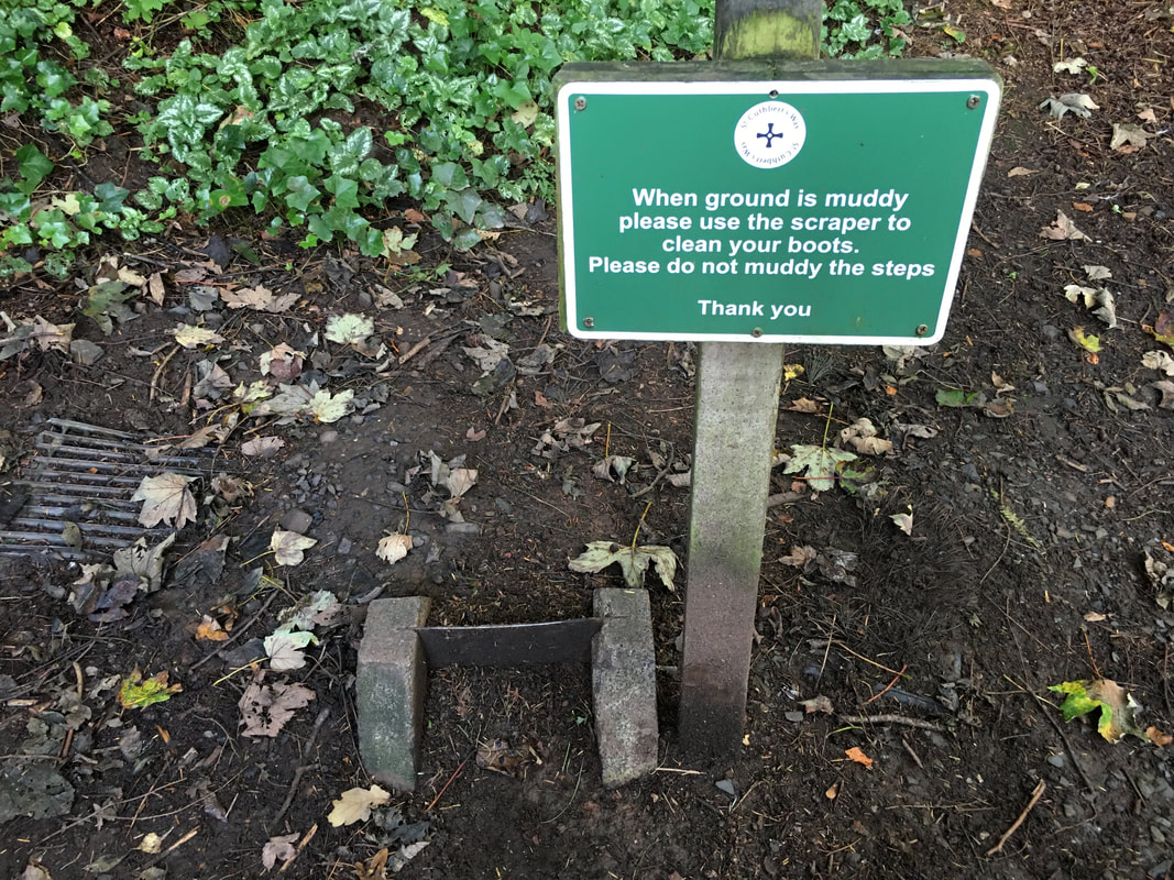
From the Mercat Cross the route headed uphill under the bypass road bridge of the A68 to reach a cut through between houses. We were now on The St Cuthbert's Way which we would follow to a point between Eildon Mid Hill & Eildon Hill North. We completed the St Cuthbert's Way in 2020 between Covid Lockdowns and a report of the walk can be found here
Think that drain could do with a bit of a clear out too
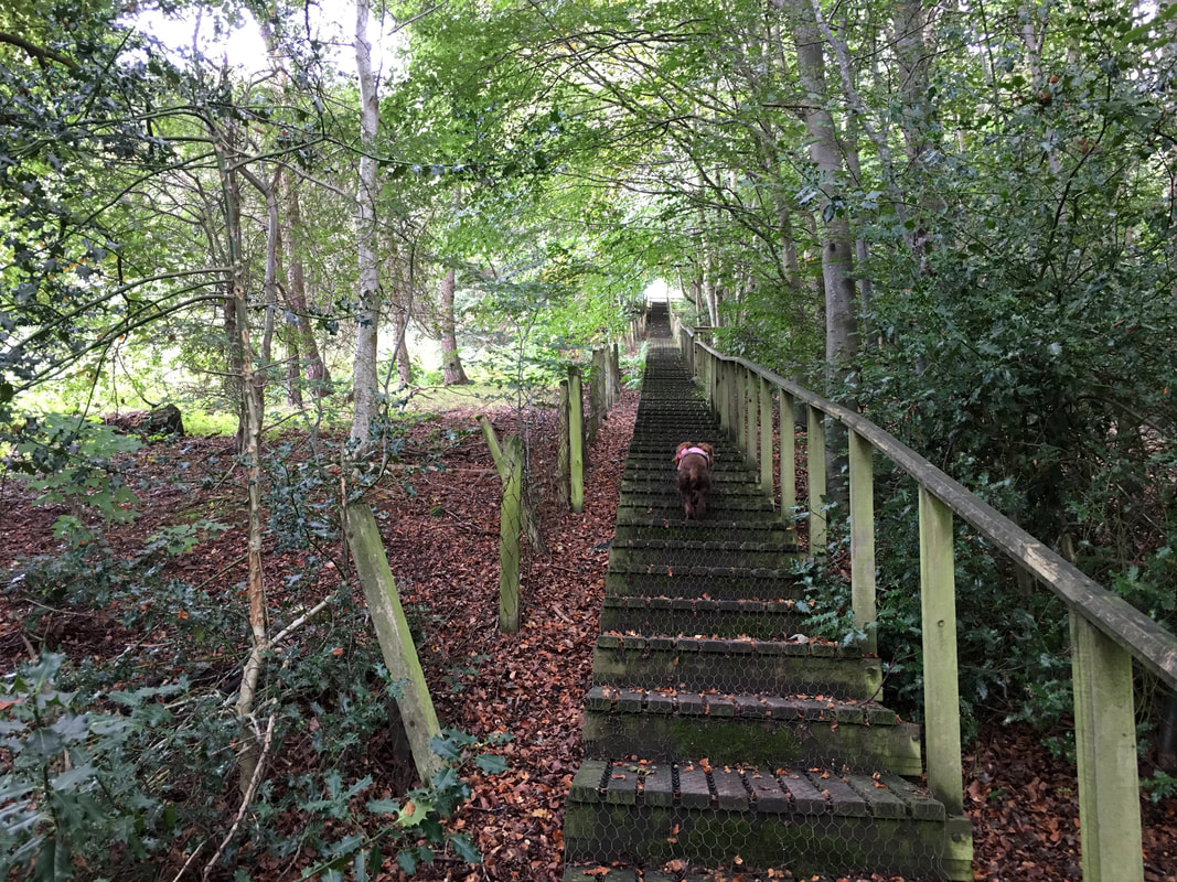
A long flight of wooden steps climbs steeply out of a small wooded area. Fudge coordinates his 4 paw drive and heads determinedly upwards.
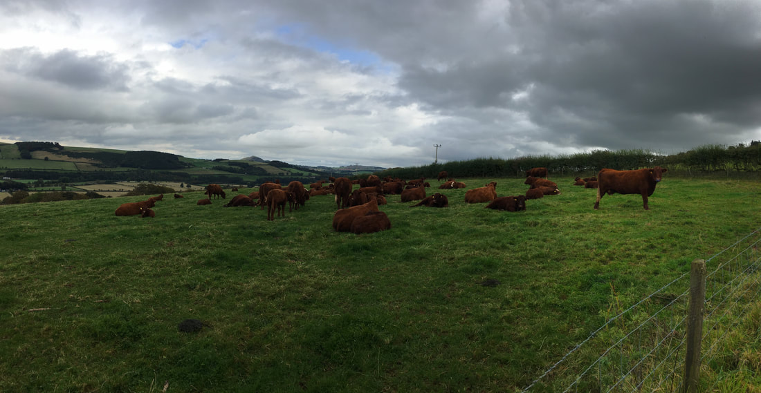
Inquisitive looks from the locals as we exit the steps on to open farmland
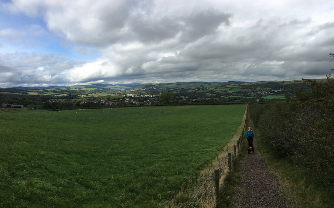
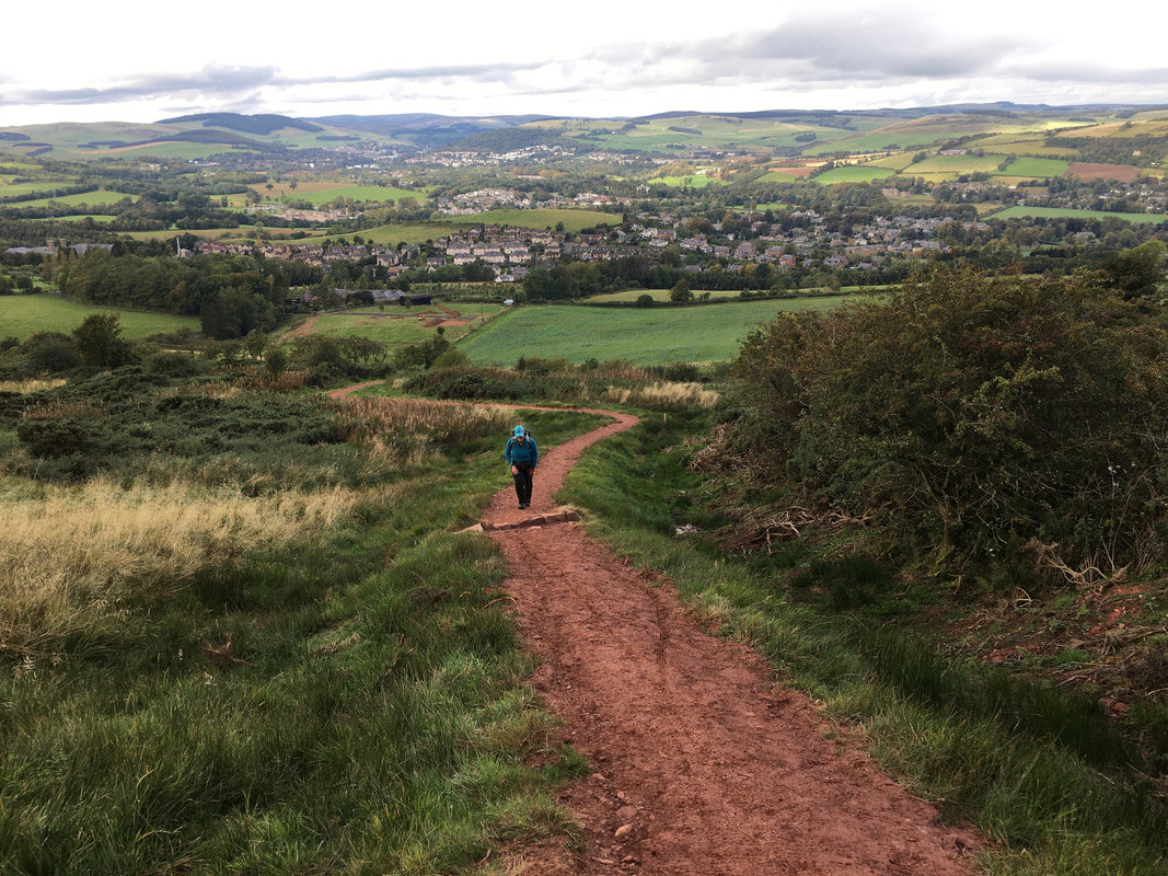
The path continued to climb but more gradual as we pause to look back towards Melrose
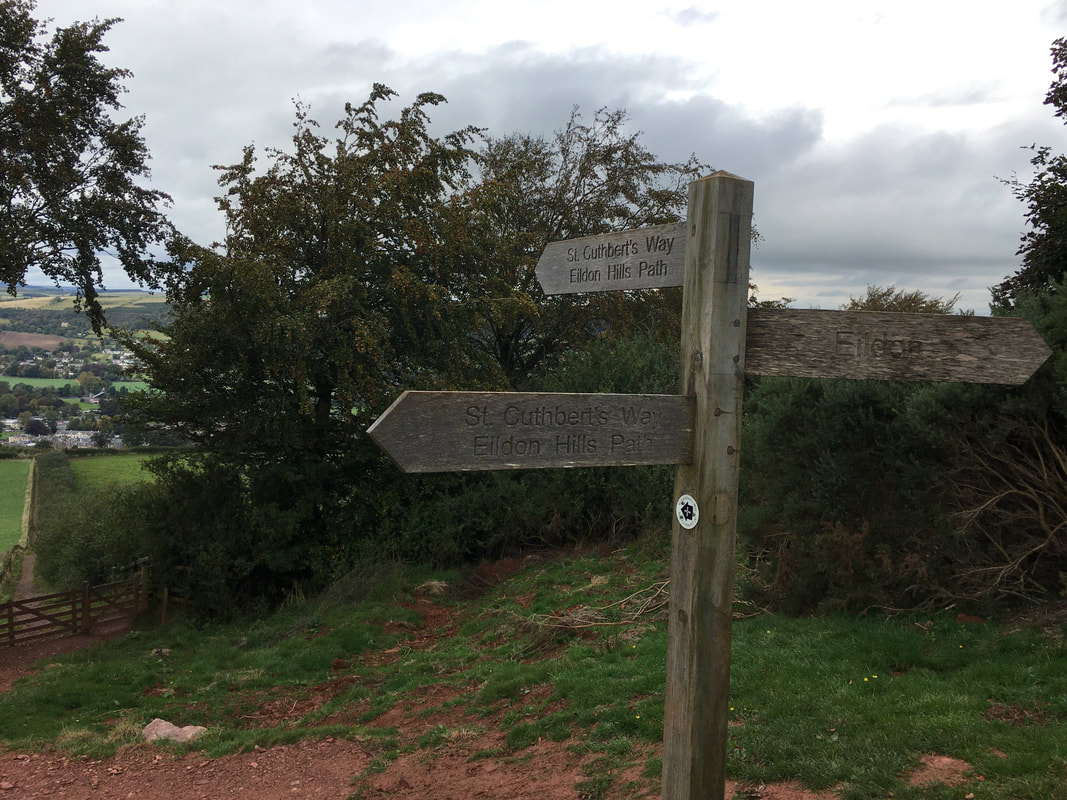
Through a gate the route reaches a path junction - we would be continuing along The St Cuthbert's Way
Steepness aplenty as we start to climb once more towards the saddle between Eildon Hill North & Eildon Mid Hill. The hills are owned by the Duke of Buccleuch who grants rights of responsible access in order that they can be walked by the general public.
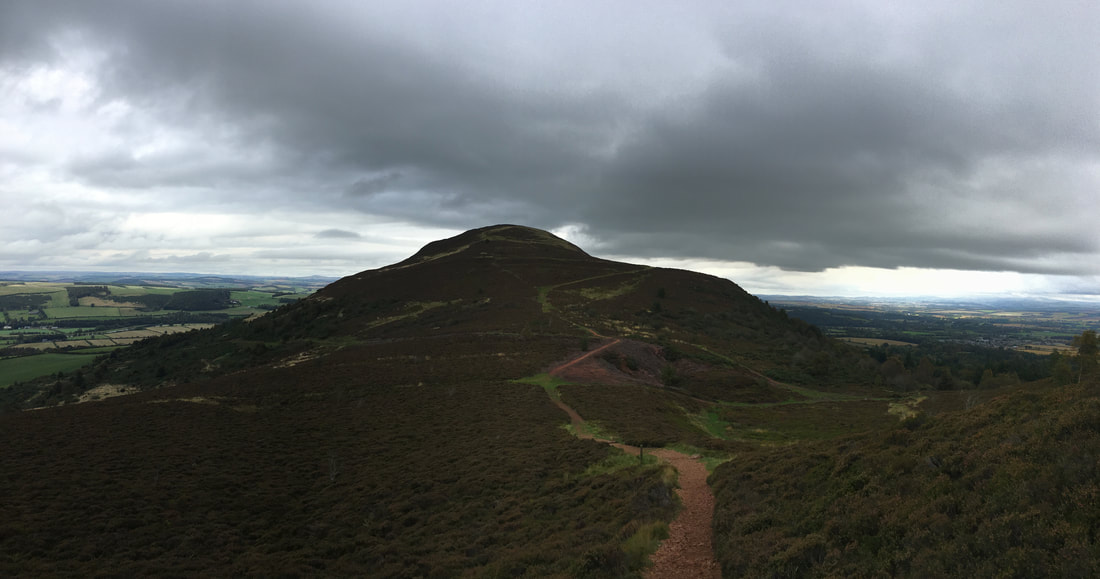
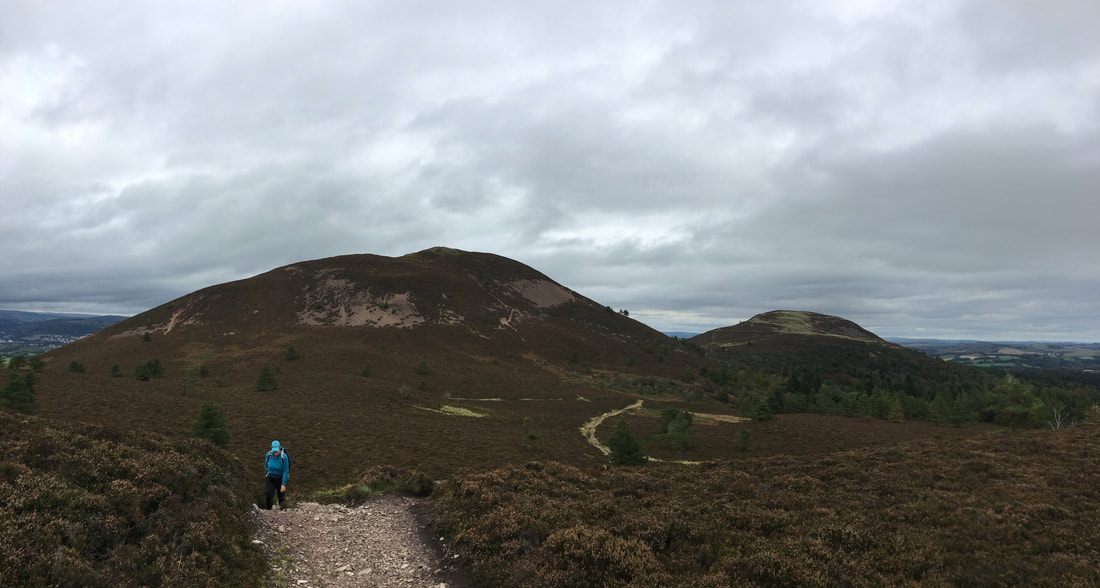
Looking back to the saddle & Eildon Hill North as we climb Eildon Mid Hill. The saddle is the access point for the 3 Eildon Hills we would be walking today.
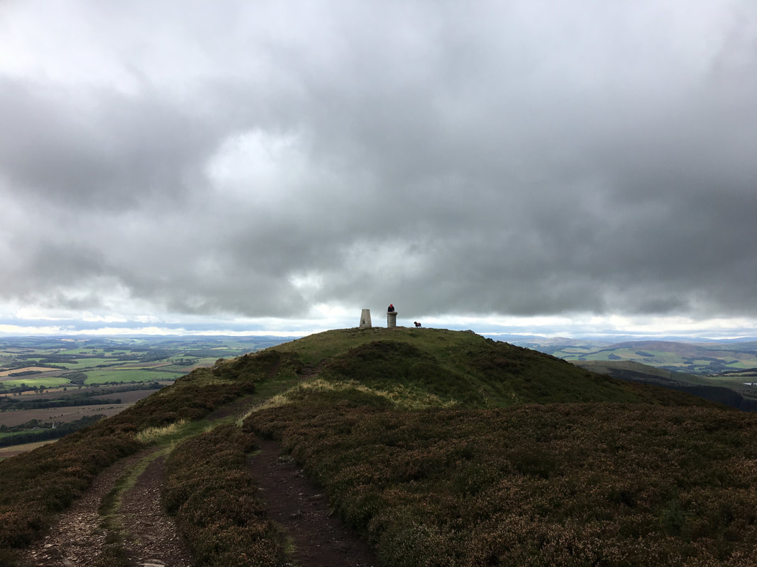
The summit of Eildon Mid Hill
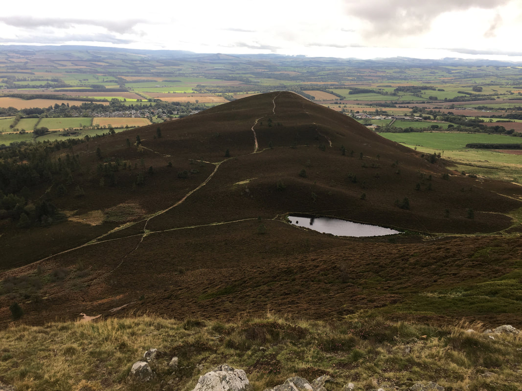
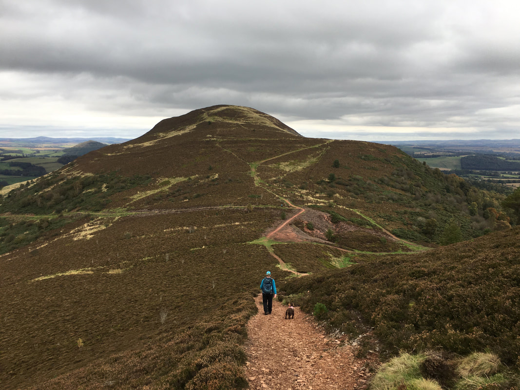
Eildon Wester Hill from the summit of Eildon Mid Hill - we would be walking over there next once we returned to the saddle
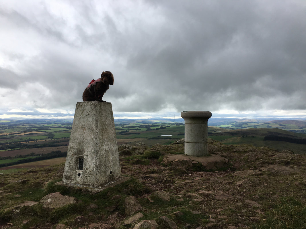
As is tradition, Fudge poses on the Trig Point - this time on Eildon Mid Hill
Heading back down to the saddle - we would be heading off to the right to make an out & back to Eildon Wester Hill
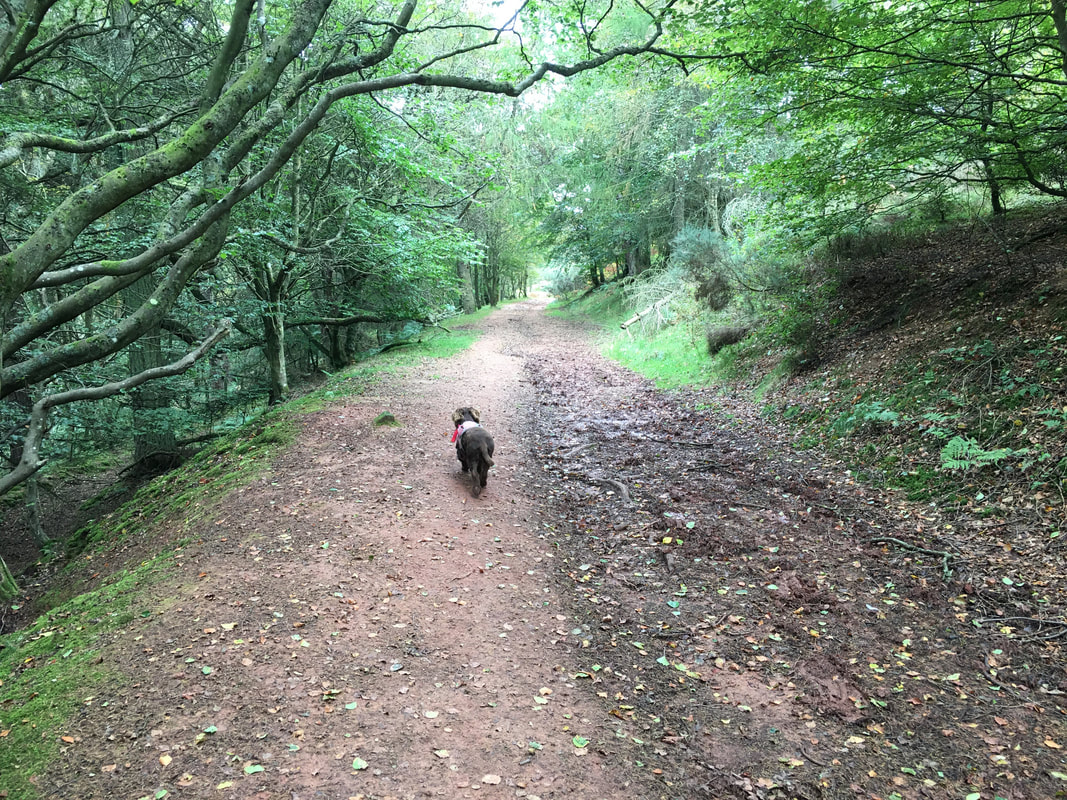
The path heads through Broad Wood towards Eildon Wester Hill
Eildon Mid Hill to the left with Eildon Hill North to the right
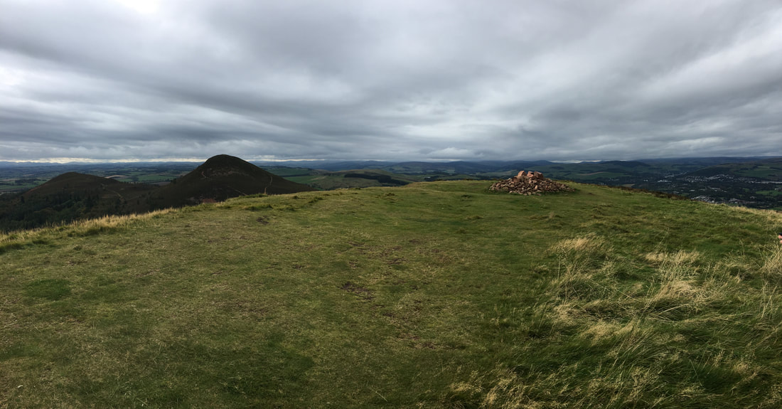
The summit of Eildon Wester Hill
And we did.
The summit of Eildon Hill North.
The north top is surrounded by over 5km (3.1 miles) of ramparts, enclosing an area of about 40 acres in which at least 300 level platforms have been cut into the rock to provide bases for turf or timber-walled houses, forming one of the largest hill forts known in Scotland. A Roman Army signalling station was later constructed on the same site as this hill fort.
The north top is surrounded by over 5km (3.1 miles) of ramparts, enclosing an area of about 40 acres in which at least 300 level platforms have been cut into the rock to provide bases for turf or timber-walled houses, forming one of the largest hill forts known in Scotland. A Roman Army signalling station was later constructed on the same site as this hill fort.
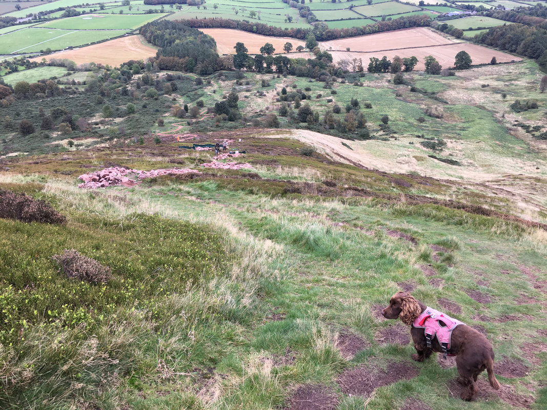
The descent of Eildon Hill North to the east is quite steep and would be an interesting journey after rain. However, the chaps that can be seen ahead of us were in the process of constructing a path in order to avoid future erosion and make the ascent/descent much easier.
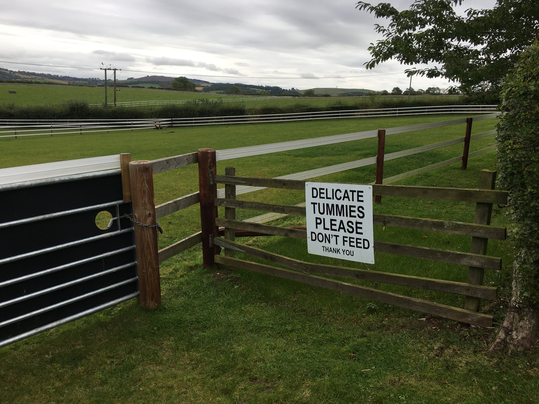
Thankfully this wasn't aimed at us but at the horses in the paddock
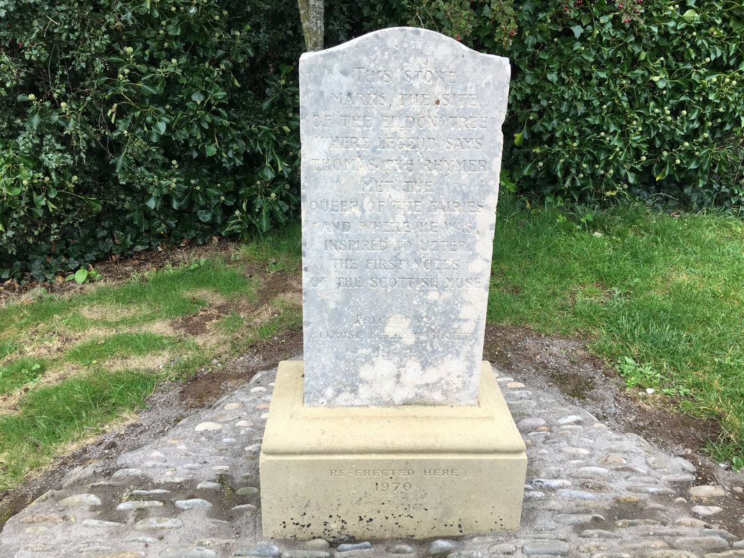
The Rhymer's Stone
A close up of The Rhymer's Stone. The stone marks the site of The Eildon Tree where legend has it a man known as Thomas the Rhymer met the Queen of the Fairies. The stone was erected in 1929 by the Melrose Literary Society and re-erected in 1970. It marks the spot on which the fabled Eildon Tree once grew. It was under this tree that Thomas the Rhymer took a fateful nap while hunting on the estate of Melrose Abbey. He was awakened by the Queen of the Fairies, who he kissed. He then spent seven years with her in the Land of the Elves before returning to his home in Earlston for seven years, then disappearing for good: presumably back to the Land of the Elves. Sounds a bit far fetched for me but you never know.
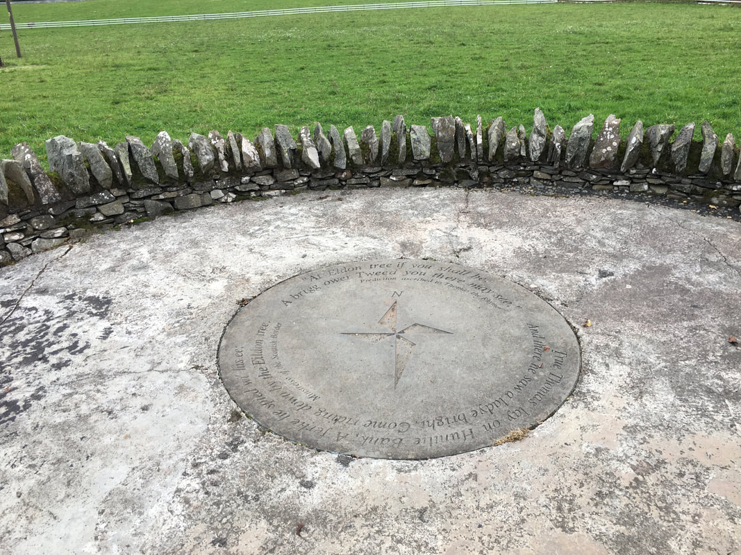
The viewpoint near The Rhymer Stone
Rhymer was born Thomas Learmont (or Learmounth) of Ercildoune, in the village now called Earlston in the Scottish Borders in 1220. Legend has it that following his return from Fairyland he became a prophet and quickly gained a reputation for making many accurate prophesies includes, it is said, a prediction of the death of Alexander III in a fall from a horse in 1286. This prediction was apparently made to the Earl of March in Dunbar Castle the day before the accident happened. According to some sources, Thomas is also said to have had other supernatural powers that even rivalled those of Merlin. Of more immediate relevance to the Rhymer's Stone was Thomas the Rhymer's prediction that a bridge over the River Tweed, which runs through the valley to the north, would one day be visible from the Eildon Tree. In 1865 the impressive Leaderfoot Viaduct opened, carrying the Berwickshire Railway over the River Tweed. The viaduct comprises 19 spans, and carried the railway at a height of 126ft above the river. Because of its height the viaduct can be seen from the viewpoint close to the Rhymer's Stone: apparently proving his prediction correct. The bridge can be viewed from this point.
Rhymer was born Thomas Learmont (or Learmounth) of Ercildoune, in the village now called Earlston in the Scottish Borders in 1220. Legend has it that following his return from Fairyland he became a prophet and quickly gained a reputation for making many accurate prophesies includes, it is said, a prediction of the death of Alexander III in a fall from a horse in 1286. This prediction was apparently made to the Earl of March in Dunbar Castle the day before the accident happened. According to some sources, Thomas is also said to have had other supernatural powers that even rivalled those of Merlin. Of more immediate relevance to the Rhymer's Stone was Thomas the Rhymer's prediction that a bridge over the River Tweed, which runs through the valley to the north, would one day be visible from the Eildon Tree. In 1865 the impressive Leaderfoot Viaduct opened, carrying the Berwickshire Railway over the River Tweed. The viaduct comprises 19 spans, and carried the railway at a height of 126ft above the river. Because of its height the viaduct can be seen from the viewpoint close to the Rhymer's Stone: apparently proving his prediction correct. The bridge can be viewed from this point.
From fictional tales of fairies & elves we were brought back down to earth with a walk to the underpass over the A6091. For those wishing to avoid the walk back to the start via the River Tweed along the Battery Dyke, a return can be made to Melrose from here by following the Eildon Hills Walk way marks.
Once through the underpass the route heads down to the River Tweed along Claymires Lane in Newstead via Alice Knowe
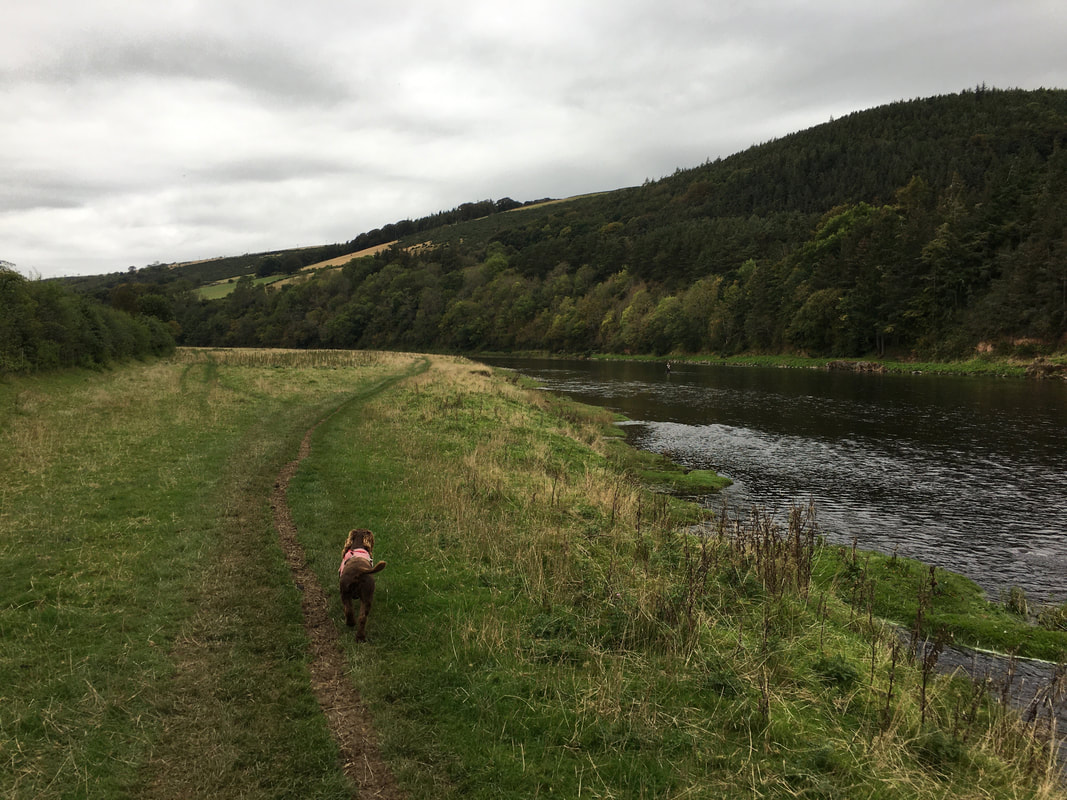
Once passing an area known as The Eddy, the route reaches the banks of the River Tweed
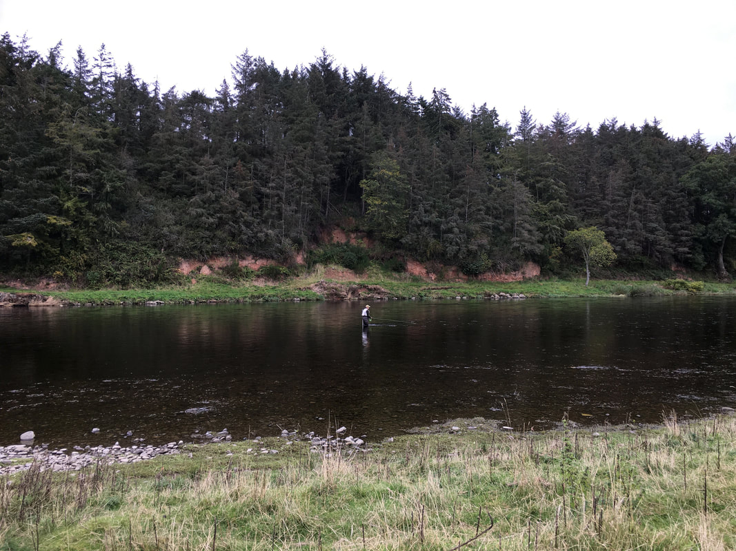
The River Tweed has earned an international reputation both as a famous salmon river and an excellent brown trout water. Salmon and trout angling attracts sport fisherman from around the world and brings substantial benefits to the local Borders economy.
The transit along Battery Dyke which lasts for approximately a quarter of a mile. Despite not looking like it, the wall is about 3 ft wide therefore if you take your time then it can be crossed fairly easily. However, it is probably best avoided after rain and very low temperatures.
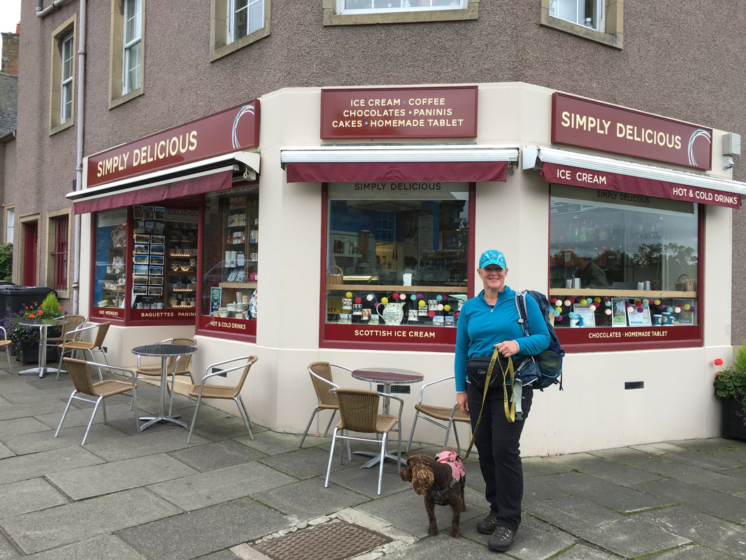
Back in Melrose now and time to put some cash back into the local economy with a visit to this excellent Tea Room near the Abbey
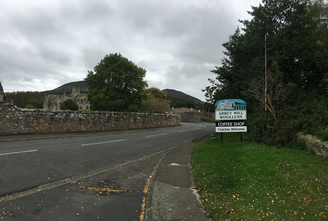
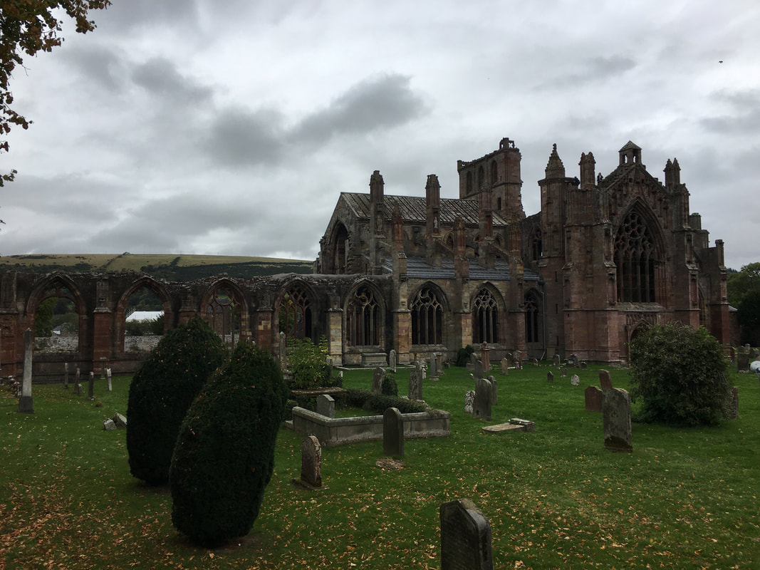
Melrose Abbey
The ruined Abbey is a 12th Century Cistercian foundation. The church of St Mary the Virgin is thought to be the burial place of Robert the Bruce's heart. The Abbey is now owned and run by Historic Scotland.
The ruined Abbey is a 12th Century Cistercian foundation. The church of St Mary the Virgin is thought to be the burial place of Robert the Bruce's heart. The Abbey is now owned and run by Historic Scotland.
Despite a strong desire to eat more cake, we avoided the temptation and settled for a piece of "Scottish Tablet". I once made the mistake of calling this Scottish delicacy "Fudge" in the presence of some hairy arsed Scottish Shipbuilders at a post ship launch Dinner in Govan, Glasgow. I was soon shown the errors of my ways and re-educated.
