High Cup Nick - Thursday 2 May 2013
Route
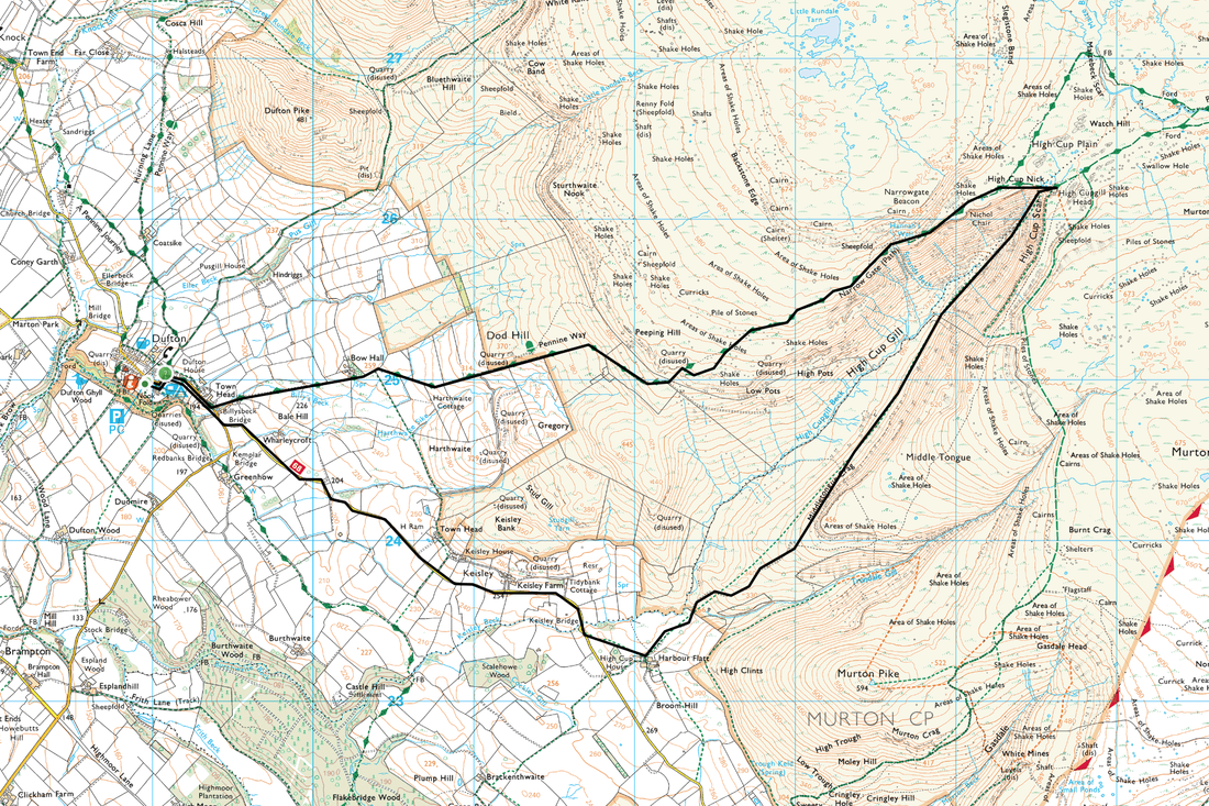
Dufton - Pennine Way - High Cup Nick - High Cup House - Keisley Bridge - Dufton
Parking
Dufton (Free) - Grid Ref NY690250
Mileage
10 miles
Terrain
Good paths throughout - the ascent to High Cup Nick is on The Pennine Way
Weather
Gloriously sunny with superb visibility
Time Taken
5hrs 10mins
Total Ascent
3024ft (922m)
Map
OL19 - Howgill Fells & Upper Eden Valley
|
GPX File
|
| ||
If the above GPX file fails to download or presents itself as an XML file once downloaded then please feel free to contact me and I will send you the GPX file via e-mail.
Walk Description
Awoke to a gloriously sunny and warm day therefore drove over the M6 from the Lake District to Dufton to do a walk we had wanted to do for such a long time. There is adequate parking in Dufton at the start of the walk for quite a few cars but on a weekend this will fill up quite quickly. Dufton is on the Pennine Way and the walk follows this route until the you reach High Cup Nick itself.
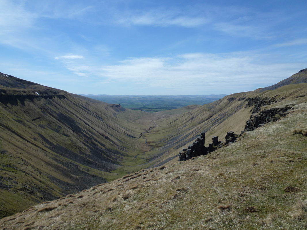
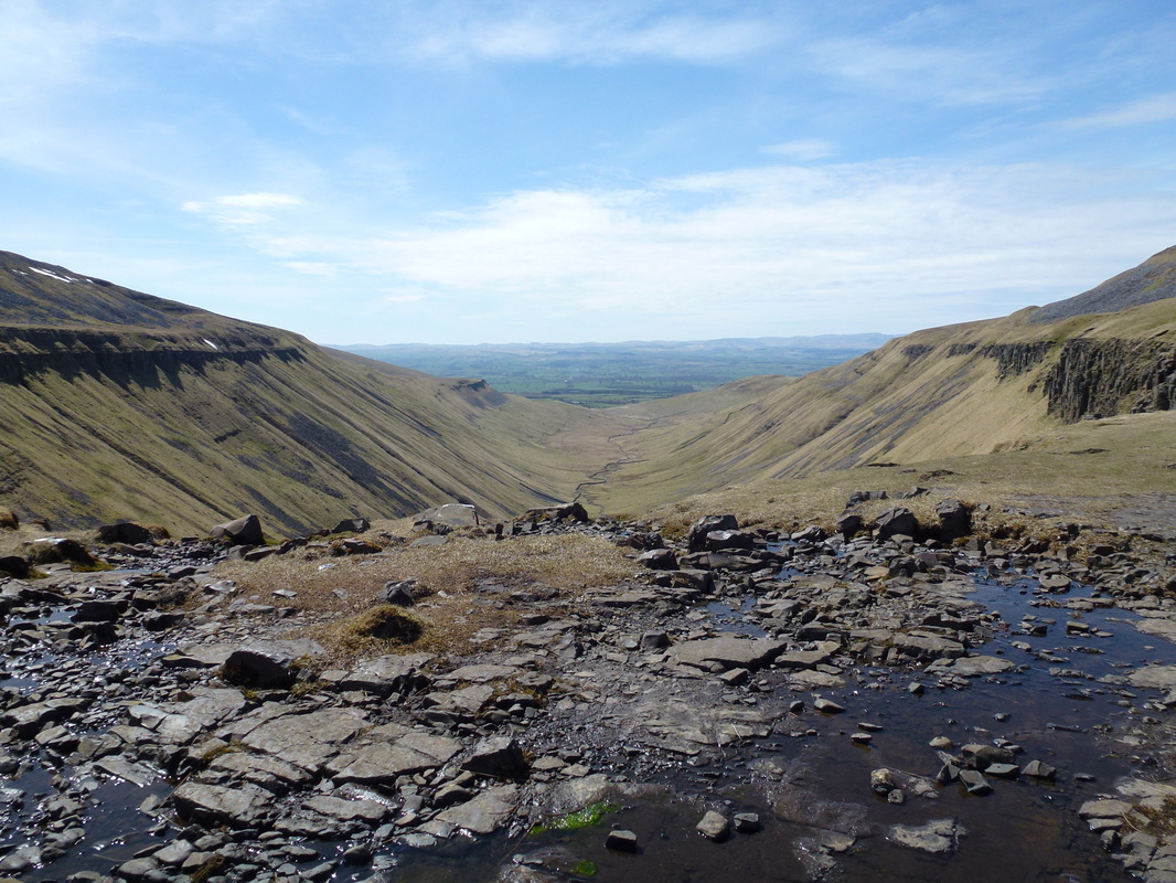
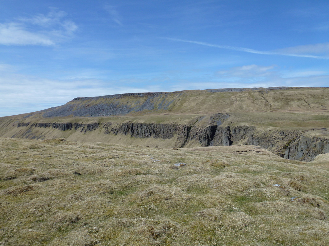
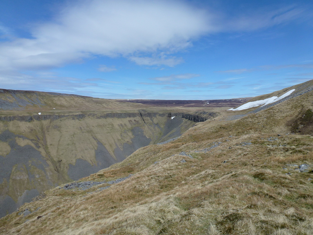
Leaving Dufton, the route climbs gently on a good path giving fine views over Dufton Pike to the left and Murton Pike to the right. Nothing can prepare you for the view that awaits you once you reach the Nick itself. High Cup Nick is a classic U-shaped glaciated valley formed by the sturdiness of the grey-blue dolerite. The crags and bowl are simply spectacular and our photos below do not do it justice.
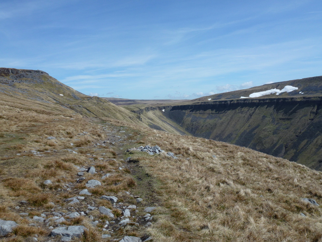
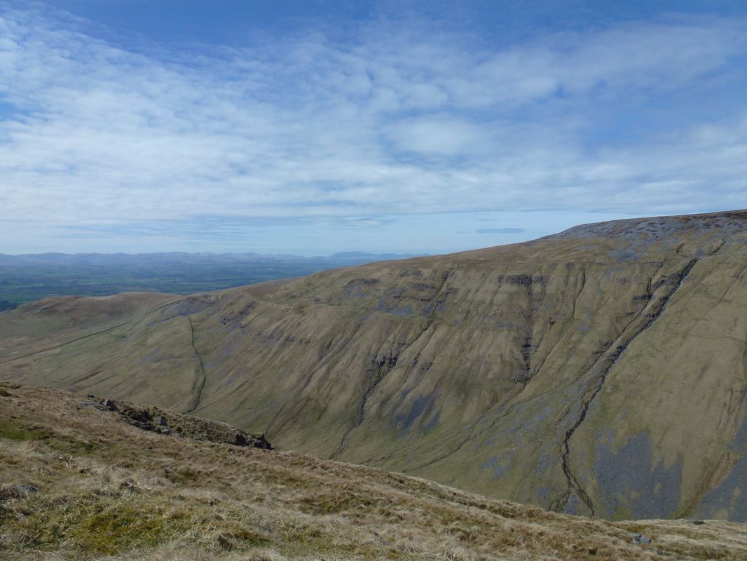
Once at the Nick, the path goes around the top and back along the other side which gives a great view of the route just taken as well as High Cup Gill which runs along the bottom of the Nick. The walk reaches a quiet road at High Cup House where you turn right and make your way back to Dufton for a welcome drink in the village pub, The Stag Inn.
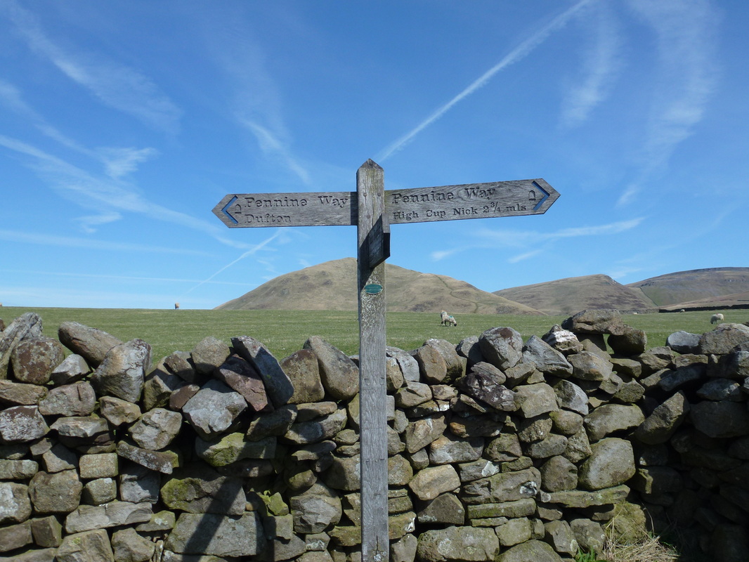
The walk follows the Pennine Way
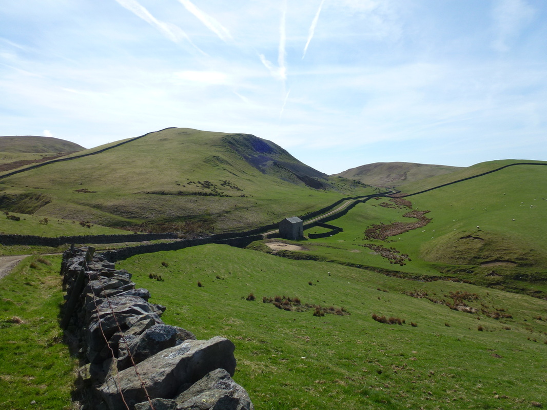
The farm track heading towards High Cup Nick
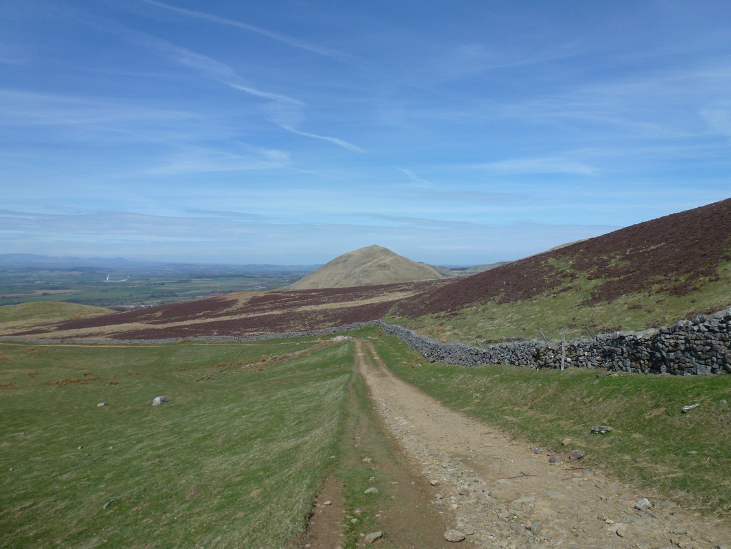
Dufton Pike
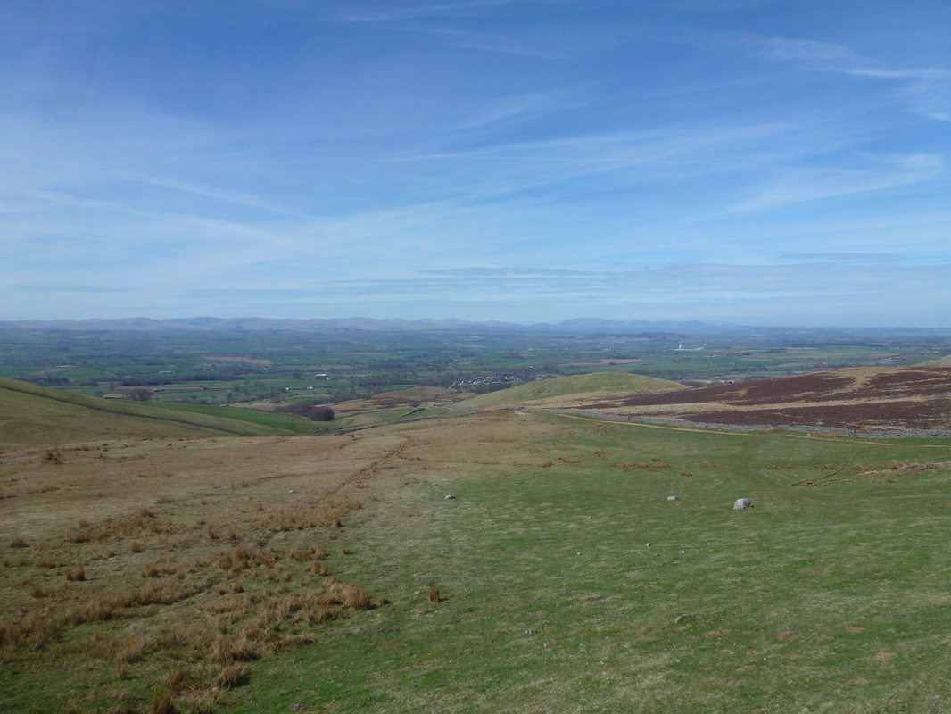
Looking back to Dufton with Lakeland in the distance
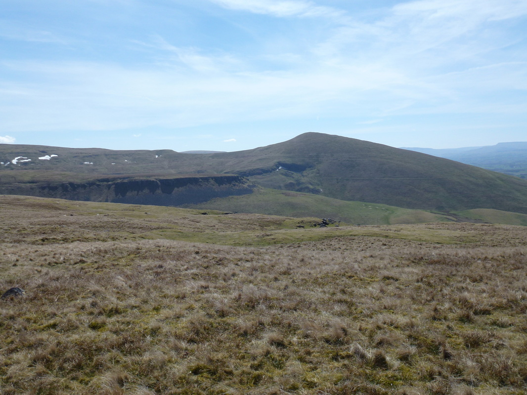
The southern end of High Cup Nick comes into view as does Murton Pike
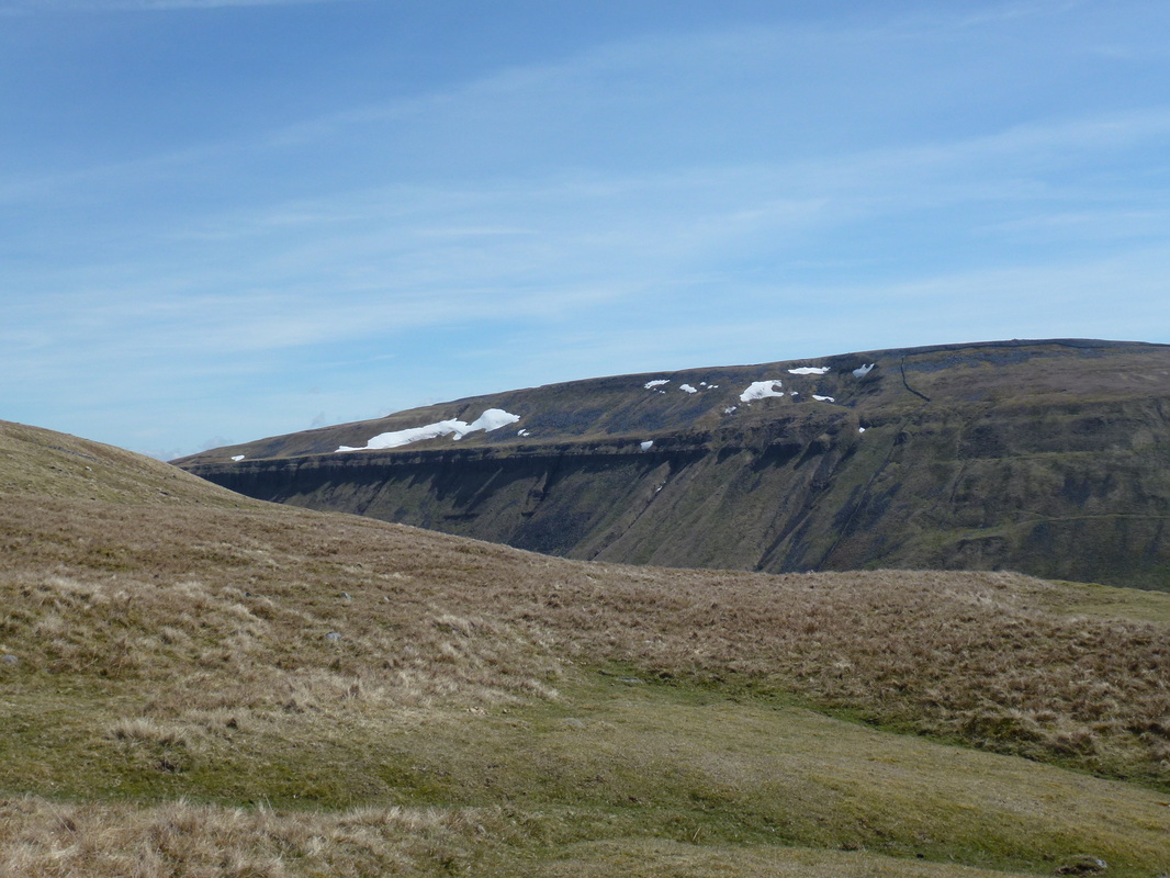
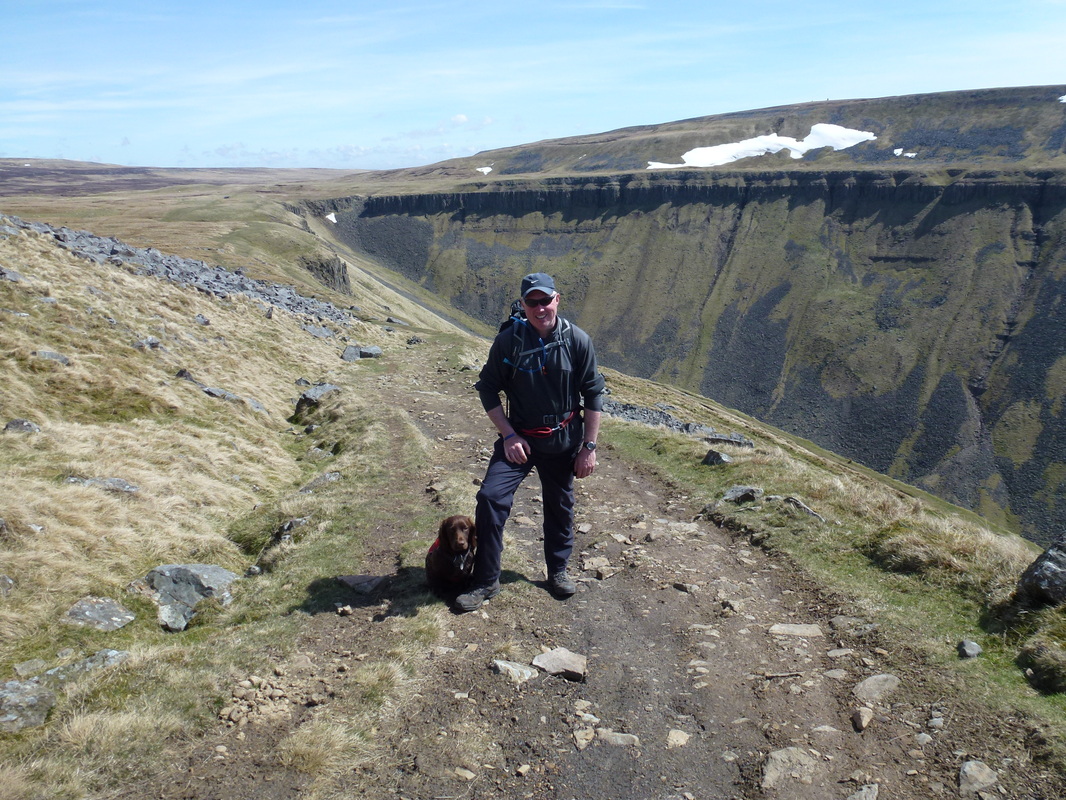
The eastern edge of High Cup Nick
It is here you start to gauge what a wonderful sight this is
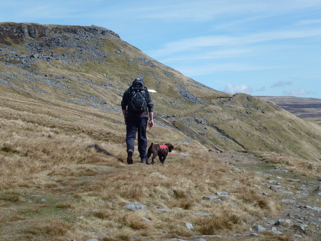
Dave & Fudge heading towards the Nick
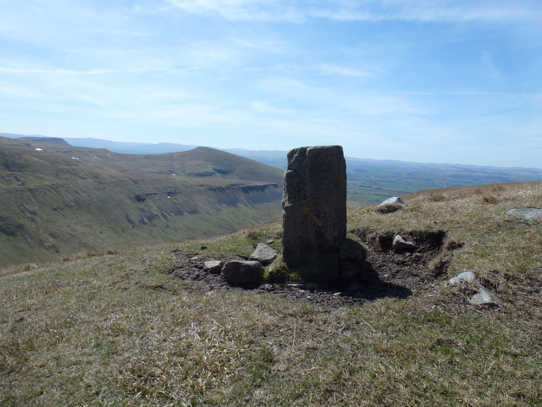
Boundary direction stone
What a view
From the Northern end of the Nick - fantastic
An even better shot of the bowl
The western edge of High Cup Nick
Looking to the front of the Nick from the eastern edge
The end of the western edge
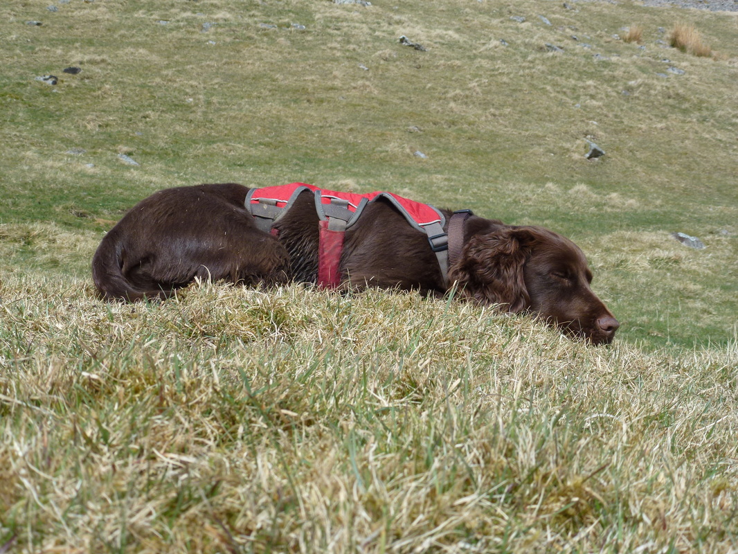
A quick 40 winks for the Fudge Meister
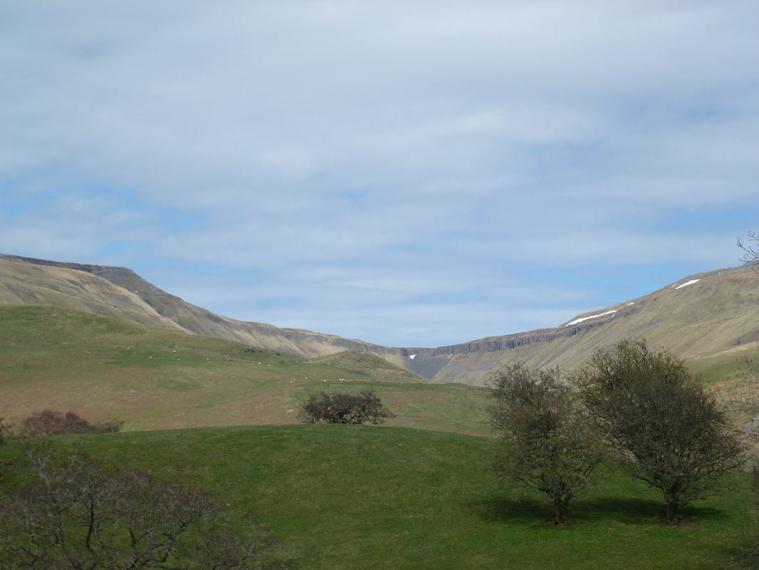
Looking back to High Cup Nick from near High Cup House
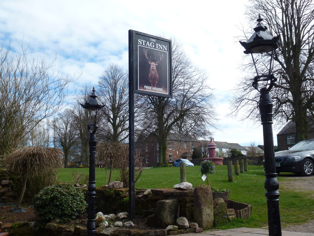
The Stag Inn, Dufton
