Raise, White Side, Helvellyn, Nethermost Pike & Dollywaggon Pike - Monday 21 October 2019
Route
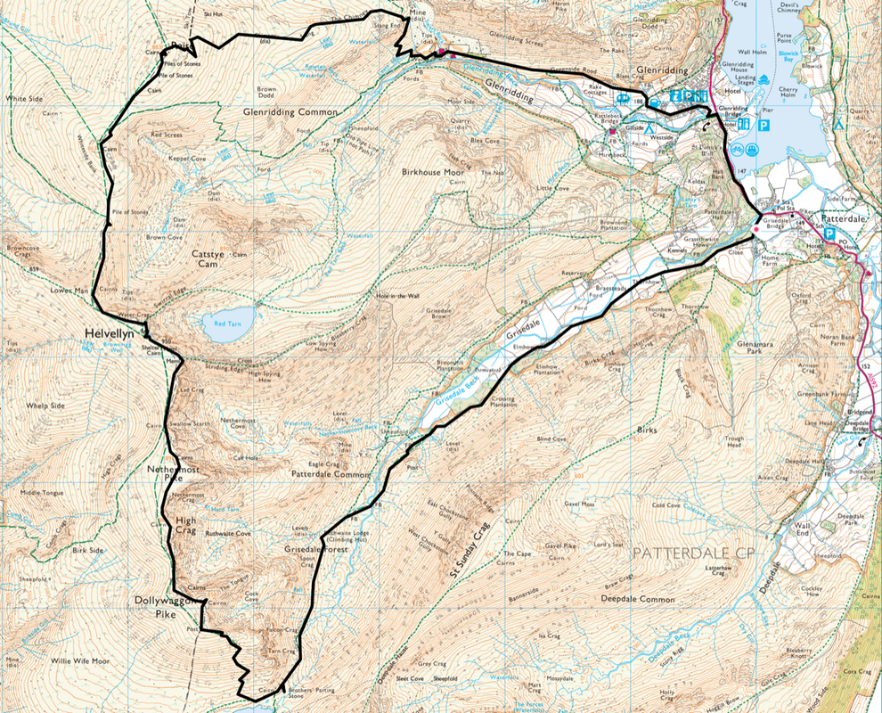
Patterdale - Glenridding - Greenside Road - Greenside Mine - Stang End - The Chimney - Stang - Raise - White Side - Helvellyn Lower Man - Helvellyn - Nethermost Pike - High Crag - Dollywaggon Pike - Grisedale Tarn - Brothers Parting Stone - Ruthwaite Lodge - Grisedale - Patterdale
Parking
Lots of parking in Patterdale - £3 all day (as at 2019) at King George V Car Park (opposite Patterdale Hall) - Grid Ref NY 390160. The nearest postcode is CA11 0PX.
Mileage
13.1 miles
Terrain
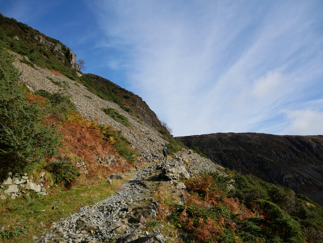
Well established mountain paths. The ascent of The Chimney is steep & on loose stone for the first 400 yards or so then the gradient eases and the path firms up.
Weather
Sunshine for the most part with very good visibility.
Time Taken
8hrs 30mins
Total Ascent
3428ft (1045m)
Wainwrights
5
Map
OL5 - The English Lakes (North Eastern Area)
Walkers
Dave, Angie & Fudge
|
GPX File
|
| ||
If the above GPX file fails to download or presents itself as an XML file once downloaded then please feel free to contact me and I will send you the GPX file via e-mail.
Route Map
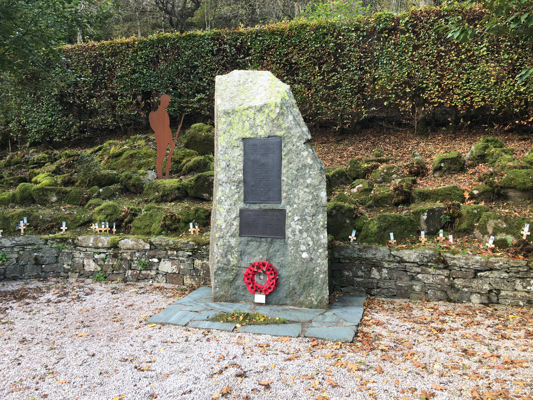
The War Memorial which is sited between Glenridding & Patterdale
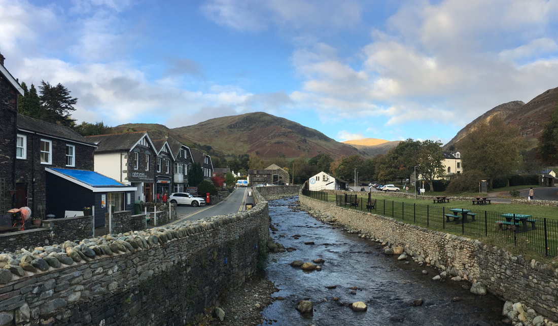
Glenridding Beck looking to Birkhouse Moor
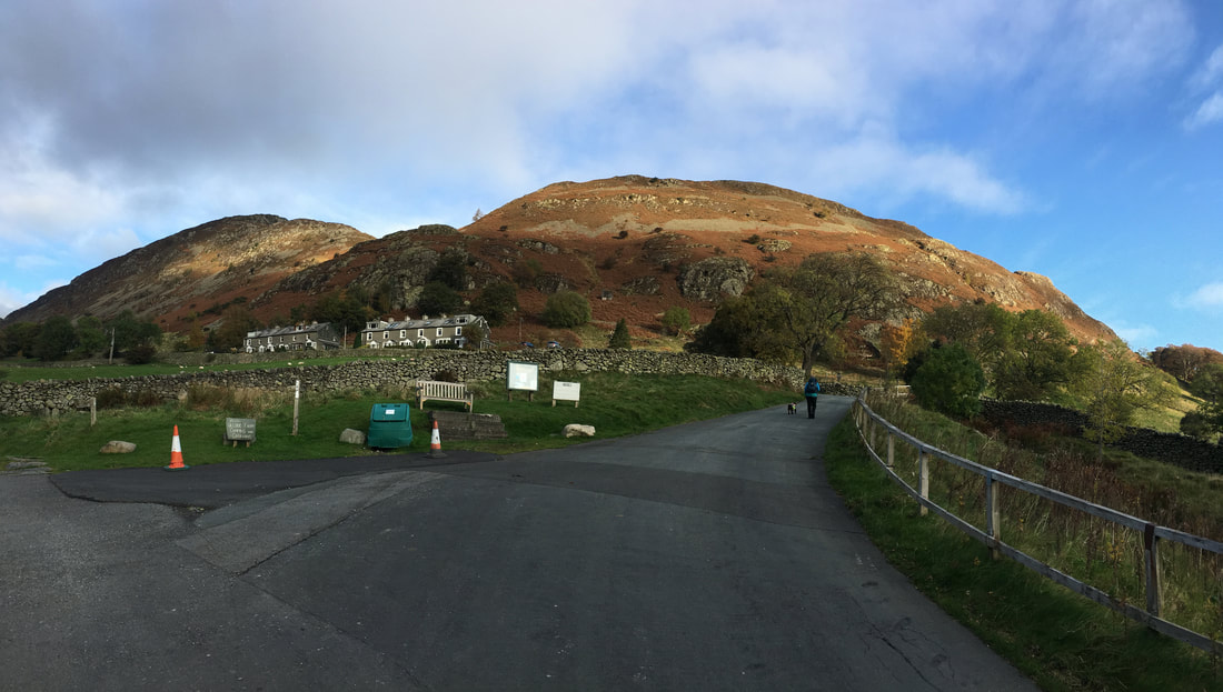
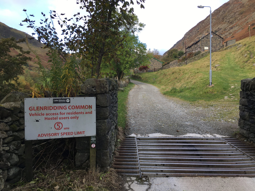
The route heads out of Glenridding up Greenside Road. The road to the left heads up to pass Gilside Campsite - we were heading right to follow Greenside Road below Rake Cottages. Glenridding Dodd is in the centre of shot with Heron Pike to the left.
The road crosses a cattle grid and becomes a track which continues on to the Youth Hostel near the disused Greenside Lead Mine
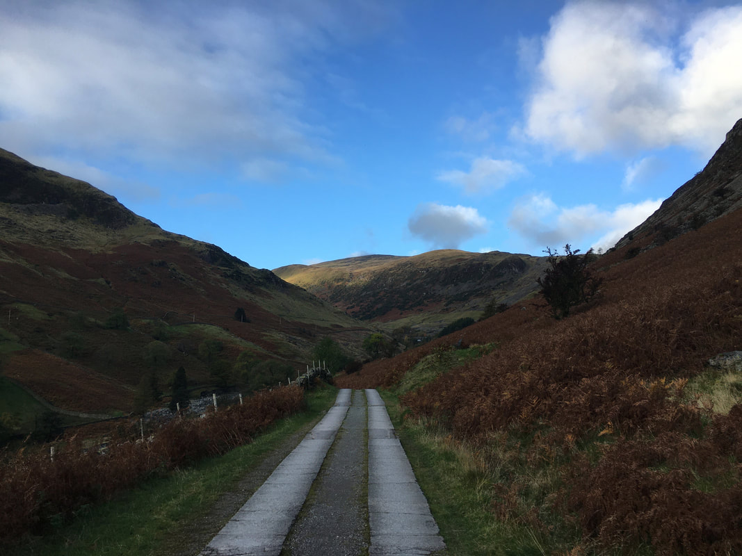
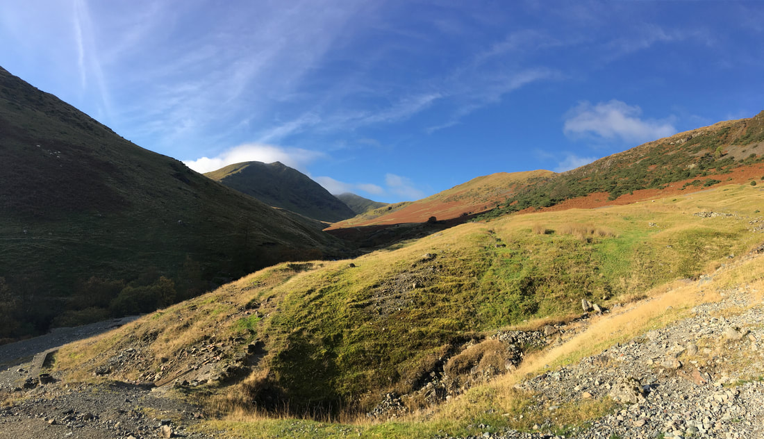
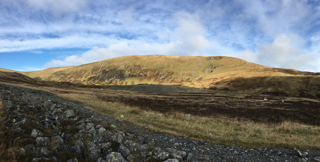
Continuing along the access road, Raise comes into view with the Stang ridge to the right
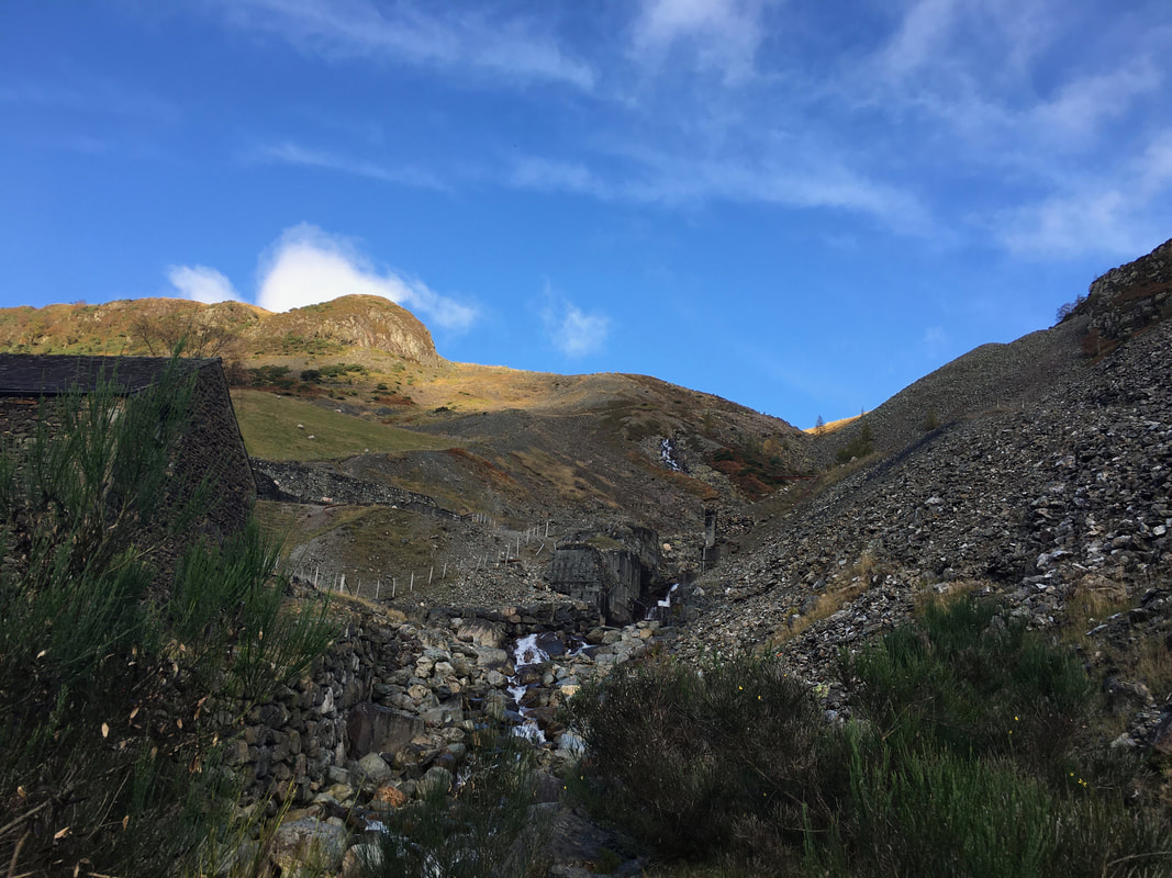
Looking up Swart Beck to Stang End which is to the left.
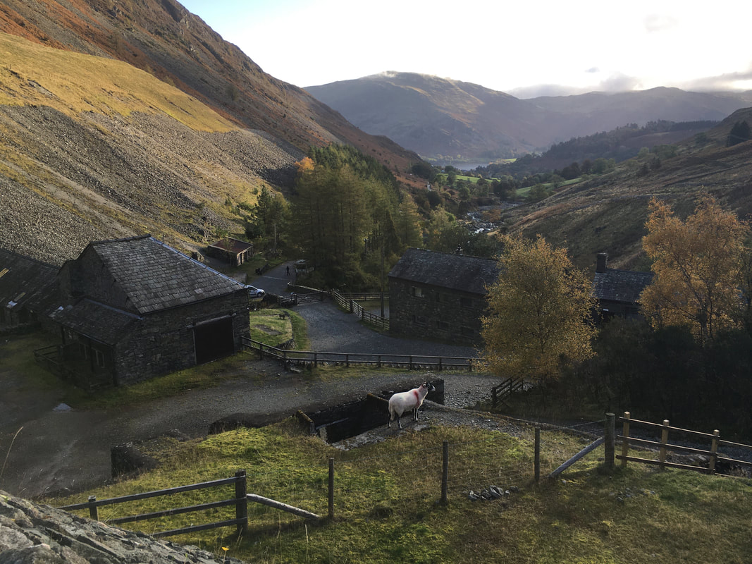
Whilst much of Greenside Lead Mine was either demolished or lies in ruin, a few of the buildings have been turned into hostel accommodation.
Whilst much of Greenside Lead Mine was either demolished or lies in ruin, a few of the buildings have been turned into hostel accommodation.
From the Youth Hostel Car Park a path swings to the right and zig zags its way up the fell side - we would be following the route to the Sticks Pass
Looking back down to the Greenside Lead Mine Buildings from the zig zag path. Place Fell sits above Ullswater & Glenridding.
Catstycam & Helvellyn Lower Man from the zig zag terrace path.
The path on the fell side to the left leads to Red Tarn below Helvellyn with the Keppel Cove path bottom left.
The path on the fell side to the left leads to Red Tarn below Helvellyn with the Keppel Cove path bottom left.
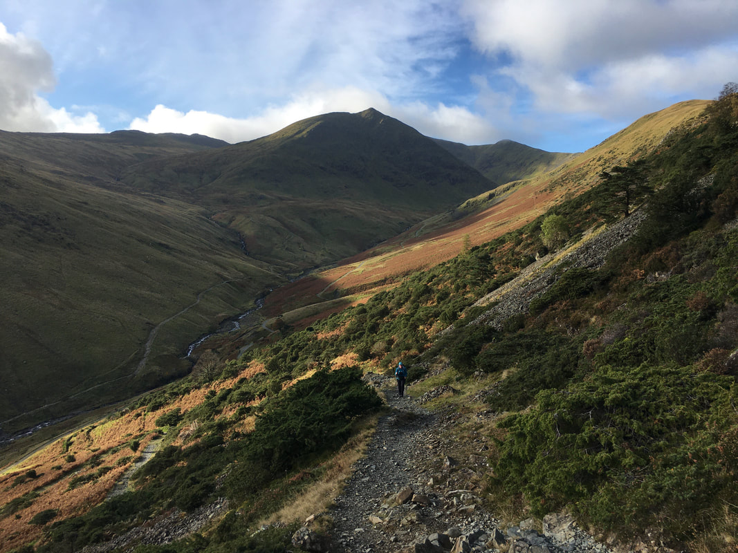
Heading on up the path above Greenside Mine - the path continues to zig zag to pass below Stang End a bit further up
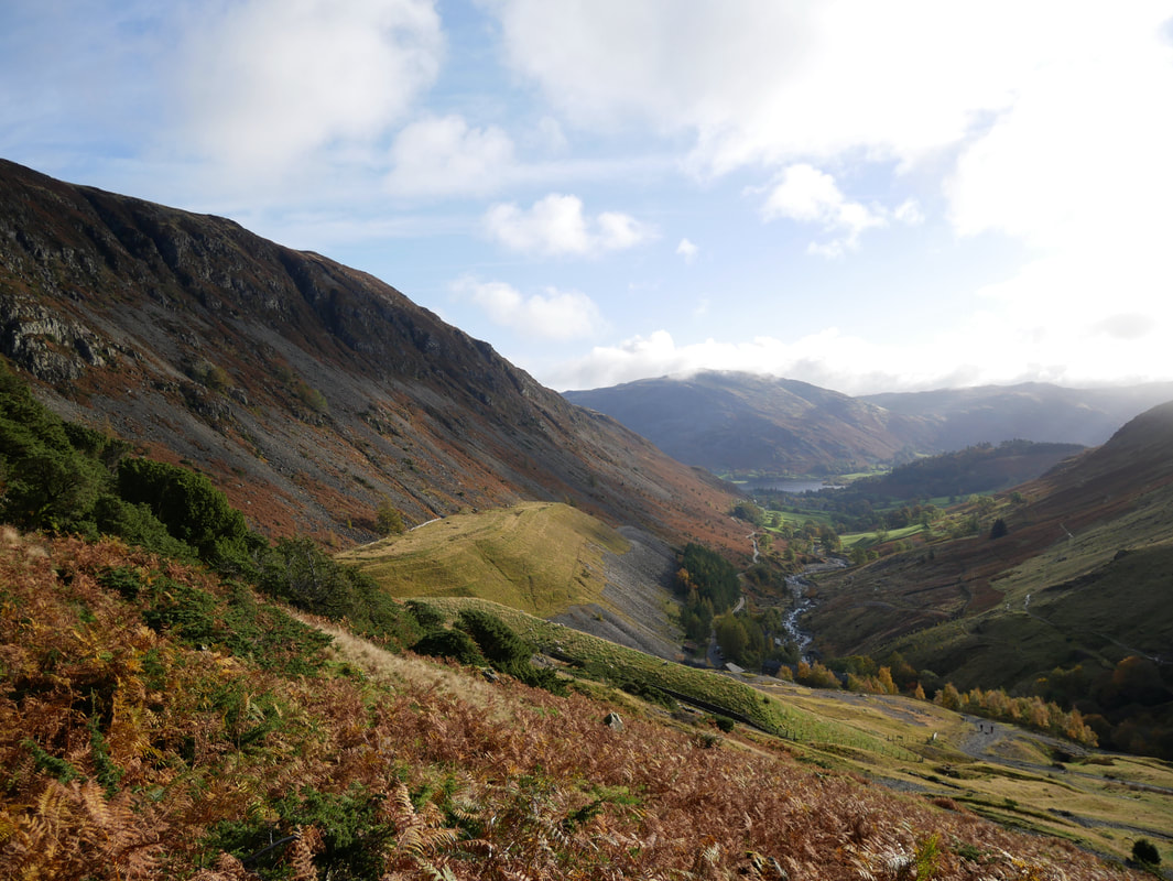
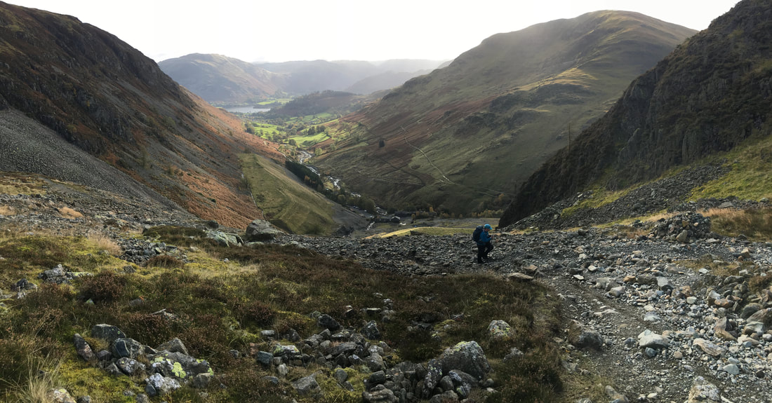
As the path continues to rise towards Stang End the views open out back down the valley towards Glenridding
Below Stang End
Looking back down the path below Stang End - the Red Tarn & Keppel Cove paths can be seen more clearly either side of Glenridding Beck.
High Spying How is to the left, Catstycam centre with Helvellyn Lower Man to the right
High Spying How is to the left, Catstycam centre with Helvellyn Lower Man to the right
As the path makes its last turn it becomes very loose and steep - just a question of taking your time
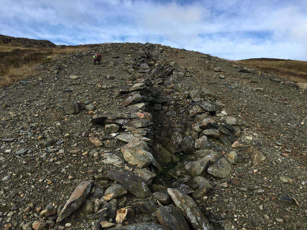
The start of "The Chimney"
The almost mile long Chimney is marked on the 1:25 OS Map and its course is followed all the way rising to the ruined chimney stack on Stang. It is actually a Smelter Flue having collapsed when it fell into disrepair when no longer used once the smelt mill closed in 1917. A deep section would have been cut out of the bedrock and the flue would have been built almost circular with bits of large stone and covered with soil & grass. The flue was designed to deposit the noxious fumes from the smelter a long way from the mine located in the valley.
The almost mile long Chimney is marked on the 1:25 OS Map and its course is followed all the way rising to the ruined chimney stack on Stang. It is actually a Smelter Flue having collapsed when it fell into disrepair when no longer used once the smelt mill closed in 1917. A deep section would have been cut out of the bedrock and the flue would have been built almost circular with bits of large stone and covered with soil & grass. The flue was designed to deposit the noxious fumes from the smelter a long way from the mine located in the valley.
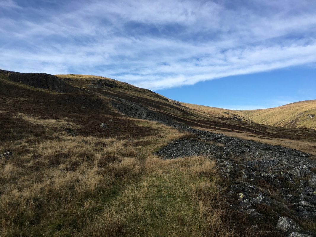
Following the course of The Chimney with Sheffield Pike to the left
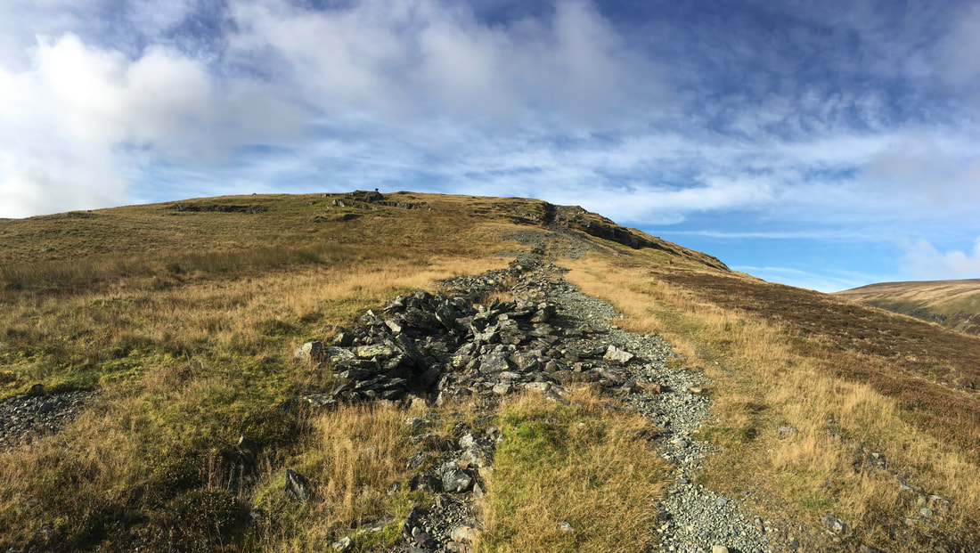
The Chimney ruins are clearly evident as we follow its course up to Stang which is ahead
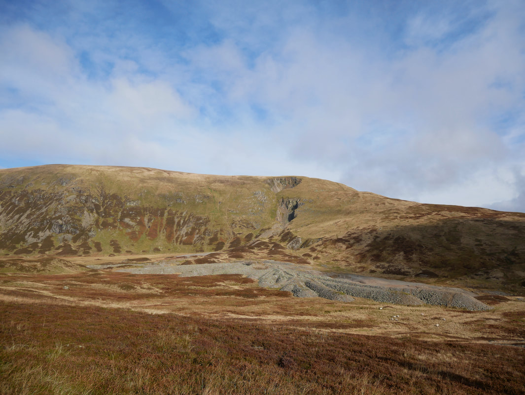
Looking over to the mine workings on Green Side
The Green Side ridge and mine workings.
The mine workings and spoil are still clearly evident here and the two large craters or holes in the centre of shot are the result of a massive collapse in 1862 - it is a miracle that nobody was killed.
The mine workings and spoil are still clearly evident here and the two large craters or holes in the centre of shot are the result of a massive collapse in 1862 - it is a miracle that nobody was killed.
Continuing on up the course of The Chimney to Stang
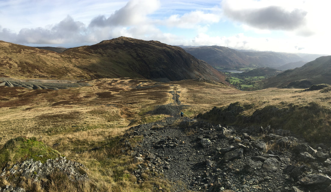
Looking back down the ascent of the chimney to Sheffield Pike, Ullswater & Place Fell
A hundred or so yards from the path is the summit of Stang - well worth the slight detour
The course of the flue ends on arrival at the ruined chimney stack - Raise is ahead
Looking to Sheffield Pike & Stang from the ruined stack - at this point the weather turned overcast but thankfully didn't last.
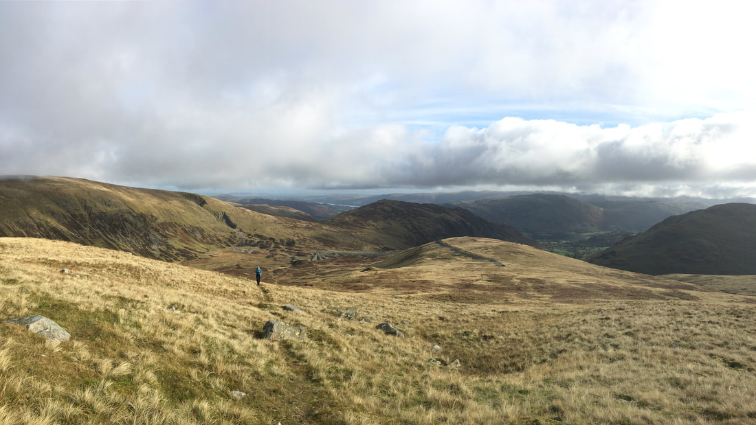
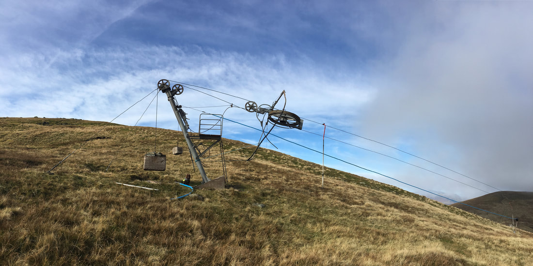
Approaching the Ski Tow on Raise
The Ski Tow just below the summit of Raise
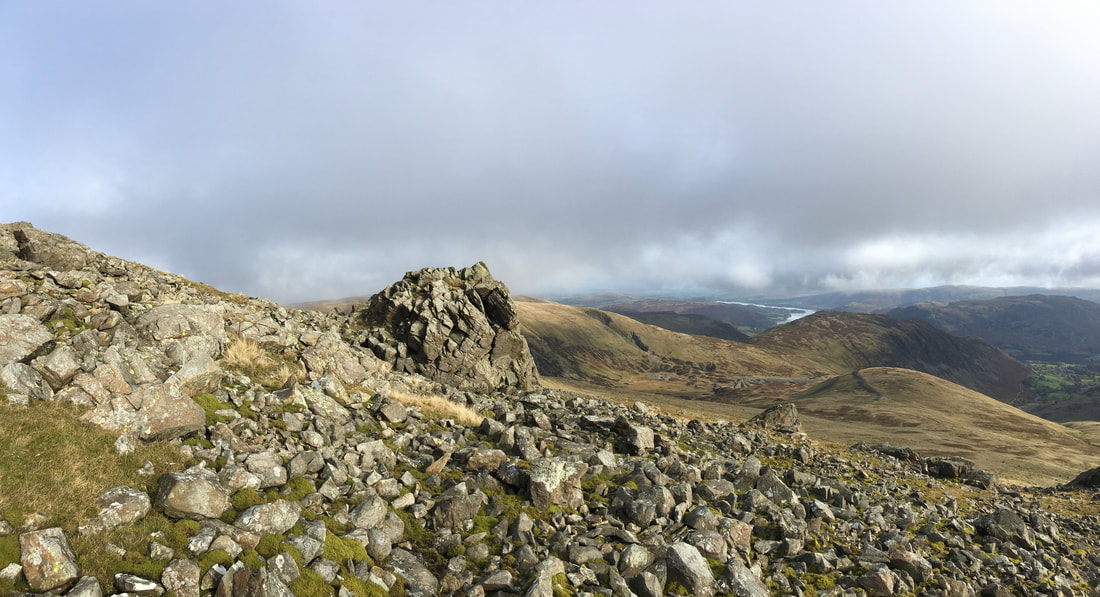
The rock tor just below the summit of Raise - the course of the Chimney can still be seen to the right
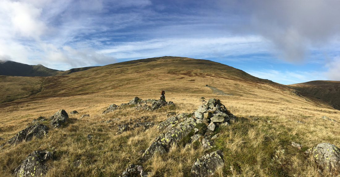
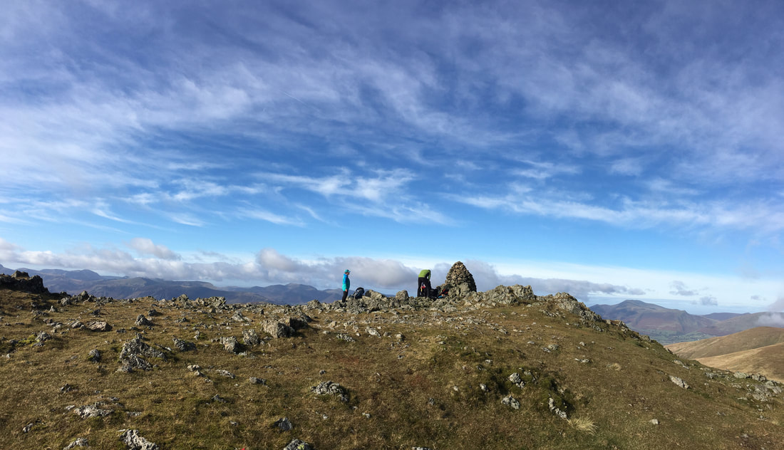
The rocky summit of Raise
We have lost count of the number of times we have been here - it is a lovely summit
We have lost count of the number of times we have been here - it is a lovely summit
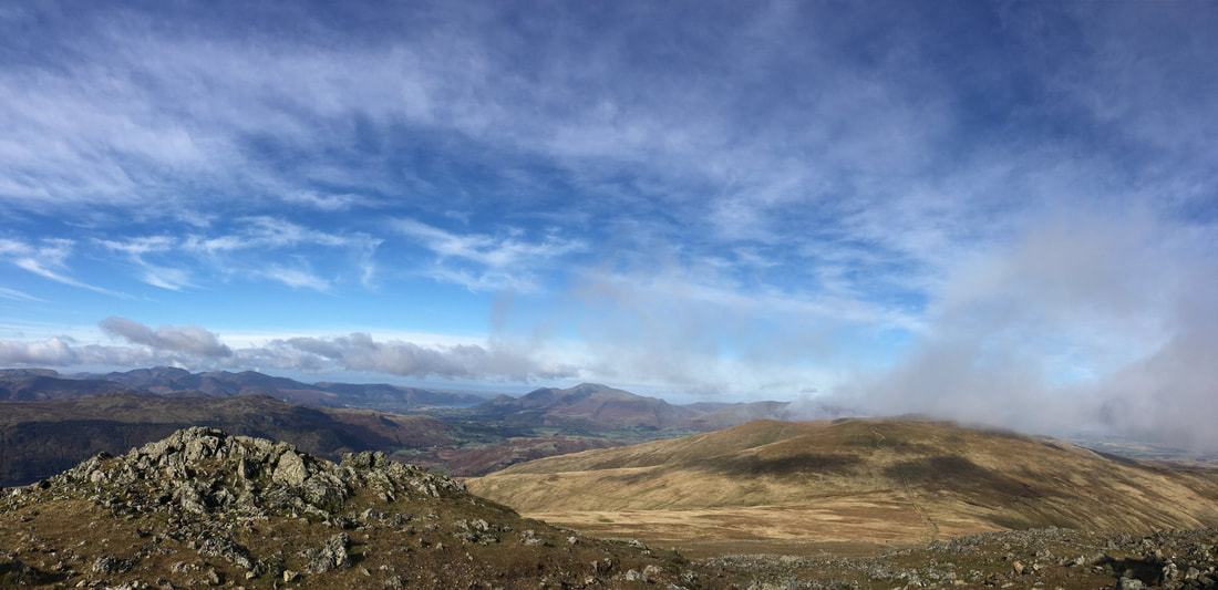
Looking to Stybarrow Dodd & Watson's Dodd from the summit of Raise. Skiddaw is in the centre of shot with Bassenthwaite Lake visible
Angie on the summit of Raise - the other 2 people to the right were the first walkers we saw today
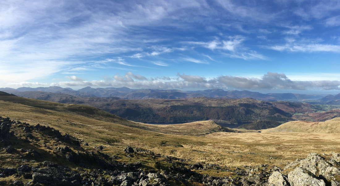
Little further round from the summit and the view just keeps getting better - Thirlmere comes into view backed by too many summits to mention
Looking back to Raise from the transit over to White Side
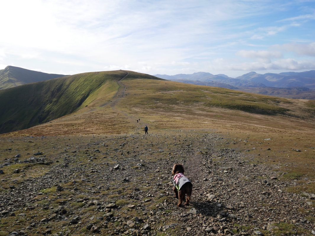
Fudge has one of those "does he know where he is going" moments as we head for White Side
The summit of White Side
Looking into the sun from White Side to Helvellyn Lower Man & Helvellyn
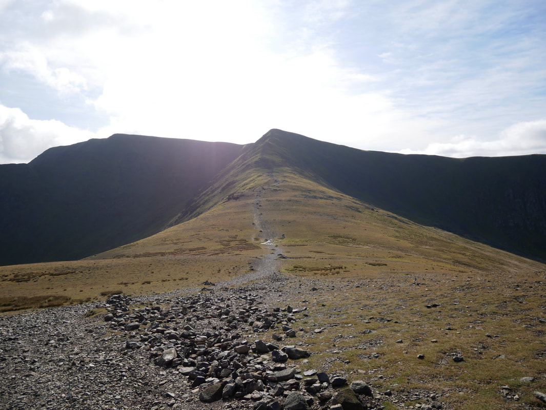
The rise from the col between White Side & Helvellyn Lower Man
Brown Cove from the ascent of Helvellyn Lower Man. Raise is to the left with Catstycam right.
The transit over from White Side to Helvellyn Lower Man
Brown Cove Crags & Thirlmere
The summit of Helvellyn Lower Man
Catstycam, Swirral Edge & Helvellyn from Lower Man
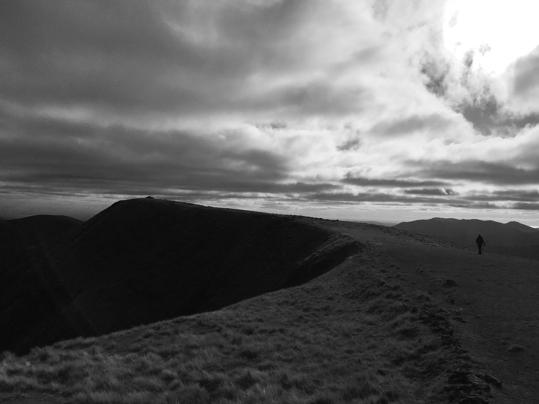
Helvellyn Lower Man from Helvellyn - those are cyclists heading along the ridge
Brown Cove, Helvellyn Lower Man, White Side & Raise with the slopes of Catstycam's North Ridge to the right
White Side, Brown Cove, Catstycam & Swirral Edge
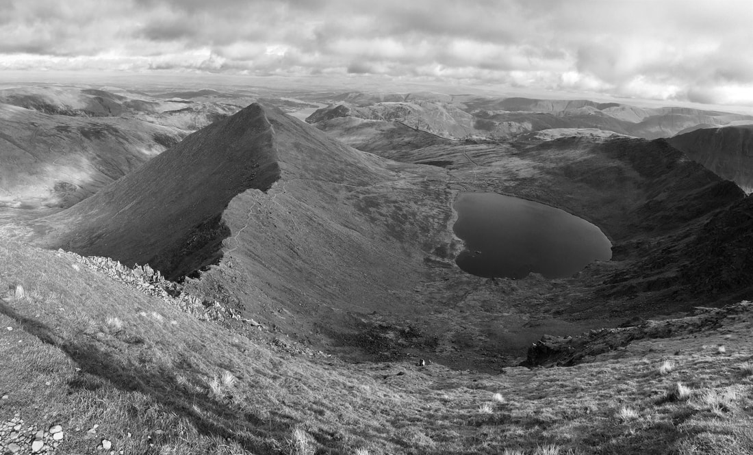
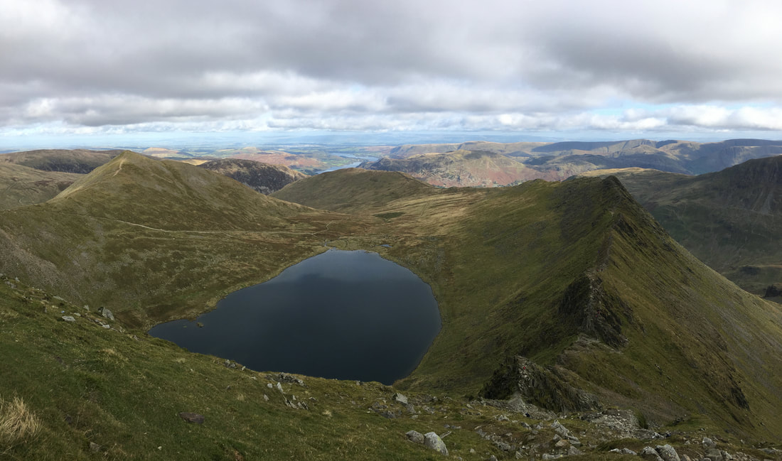
Swirral Edge, Catstycam, Birkhouse Moor, Red Tarn & Striding Edge in mono
Swirral Edge, Catstycam & Birkhouse Moor from Helvellyn
The cairn at the top of Swirral Edge
The Trig Point on Helvellyn's summit plateau
Helvellyn, Swirral Edge & Catstycam framing Raise
The summit of Helvellyn
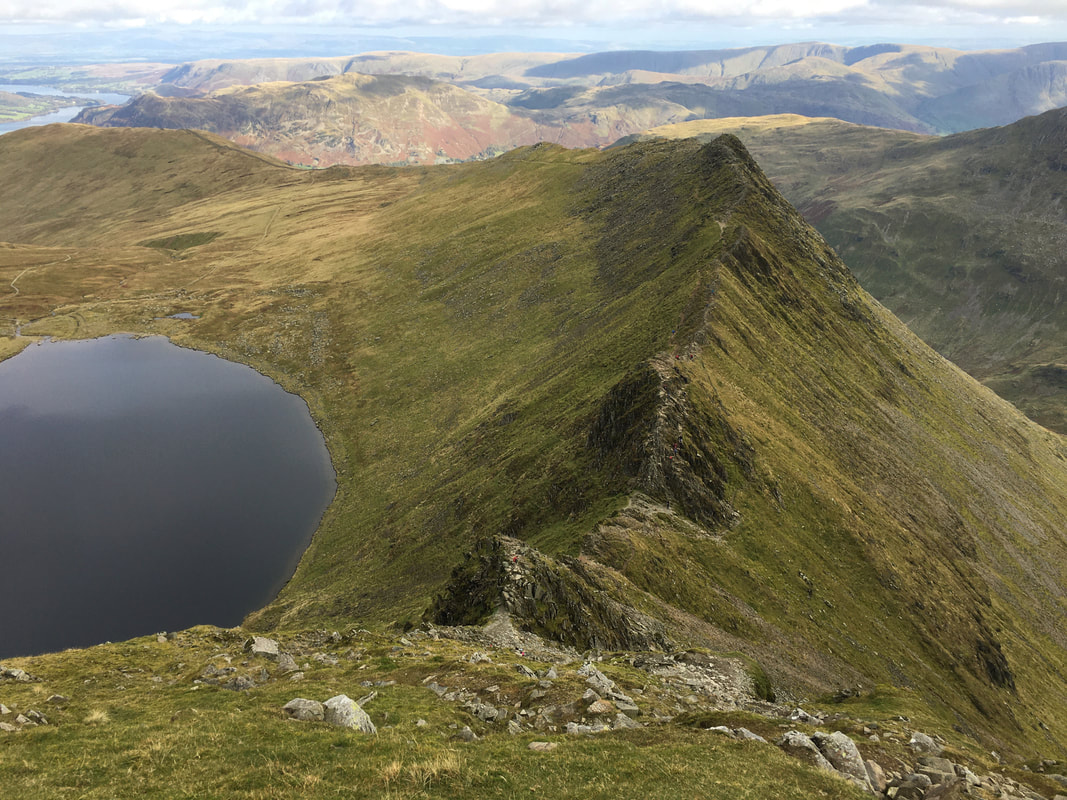
Striding Edge
Catstycam, Red Tarn, Birkhouse Moor & Striding Edge
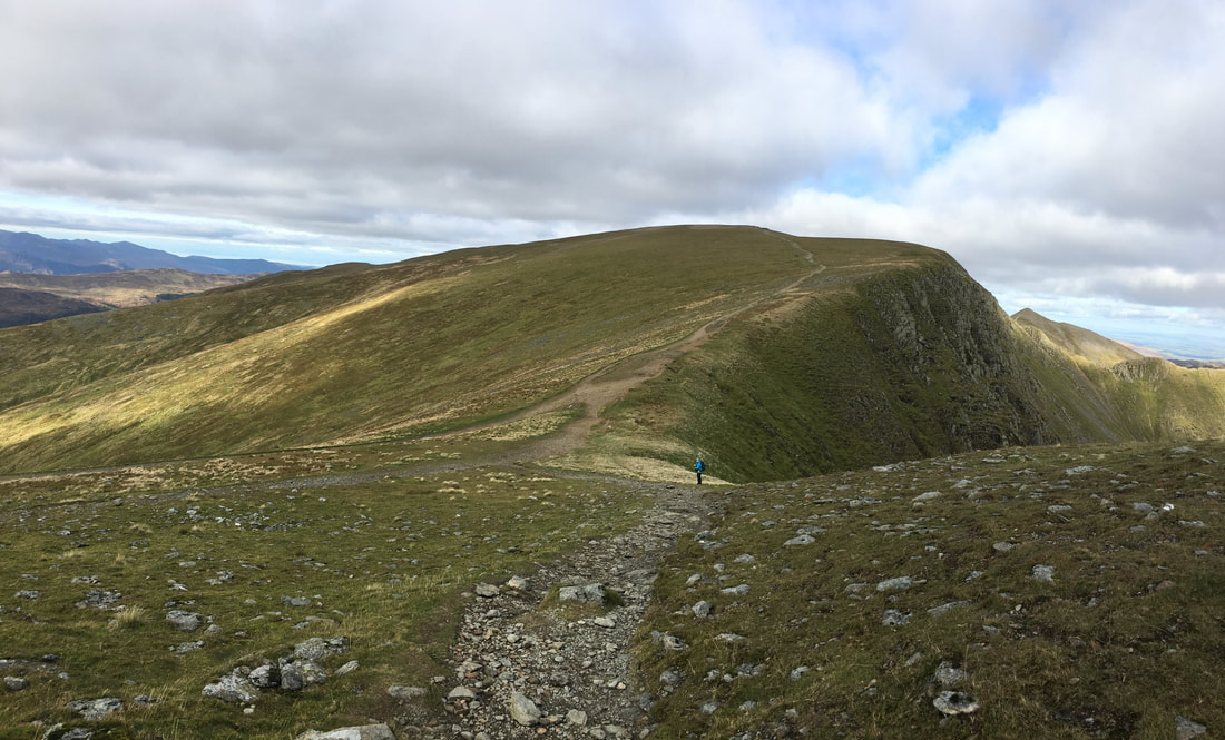
The col between Helvellyn & Nethermost Pike
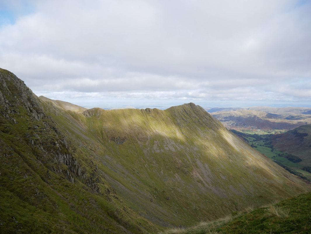
Another view of Striding Edge - this time from the approach to Nethermost Pike
The northern cairn on Nethermost Pike
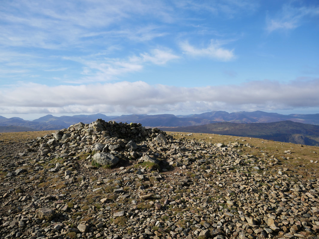
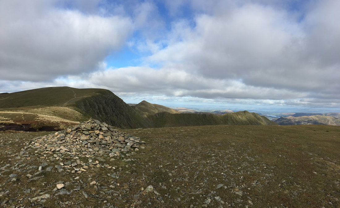
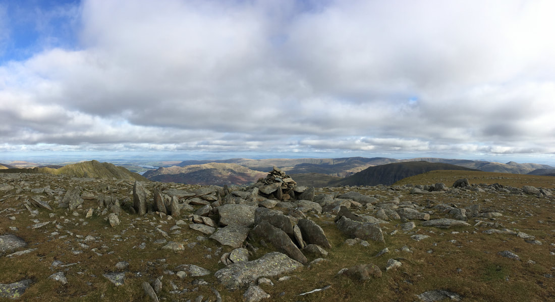
The summit cairn on Nethermost Pike
Heading for High Crag
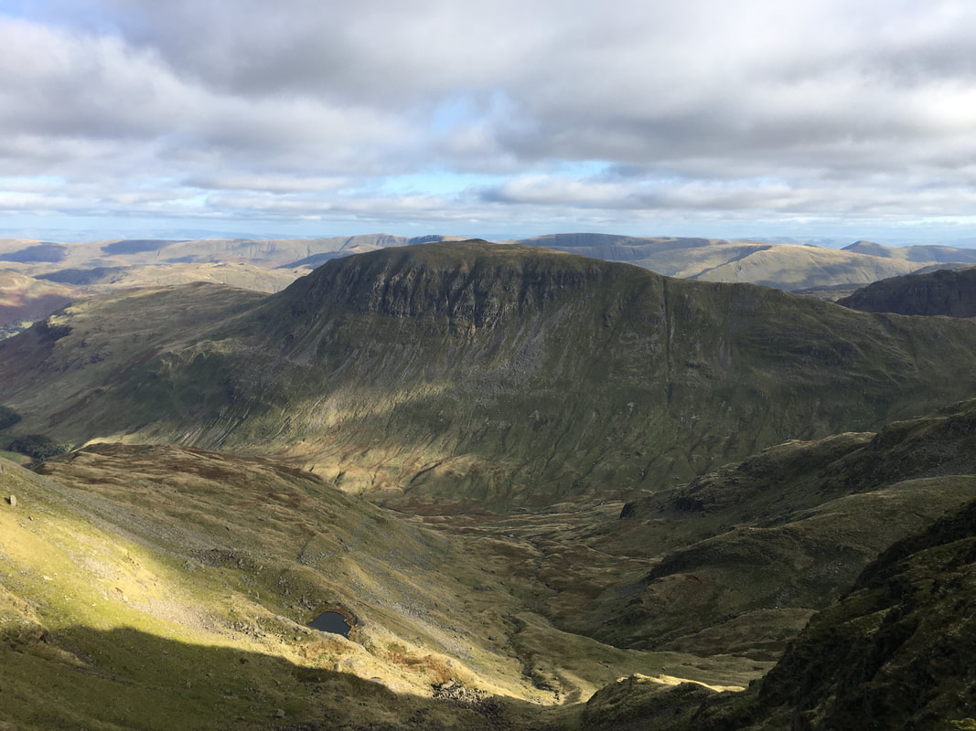
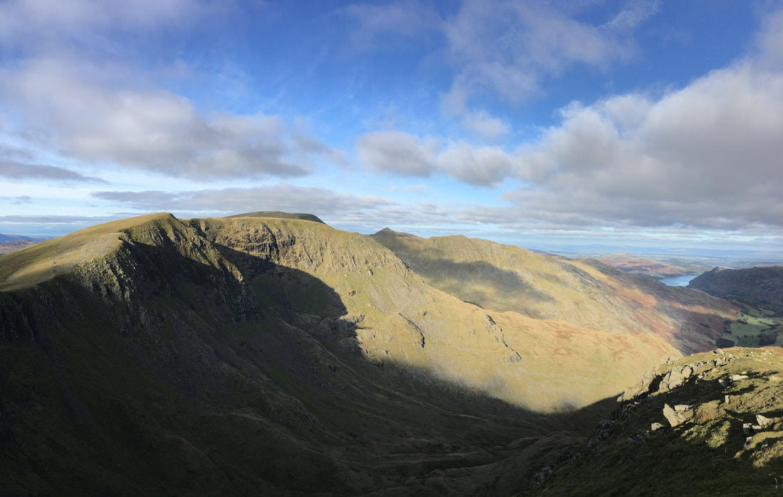
St Sunday Crag across Ruthwaite Cove - Hard Tarn can be seen below to the left
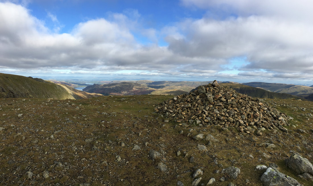
The summit of High Crag
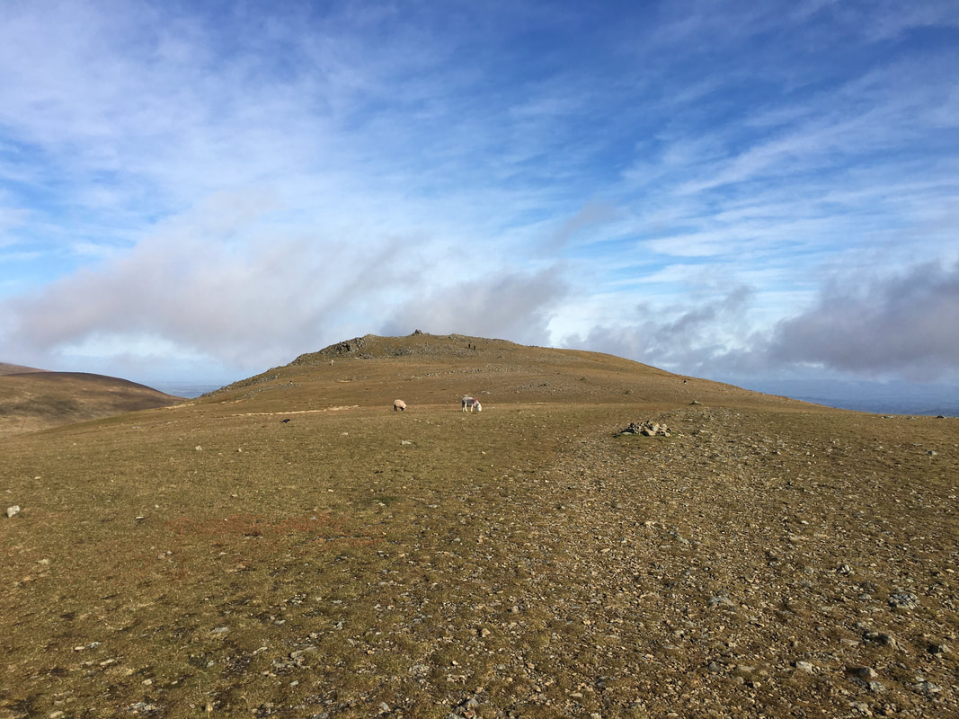
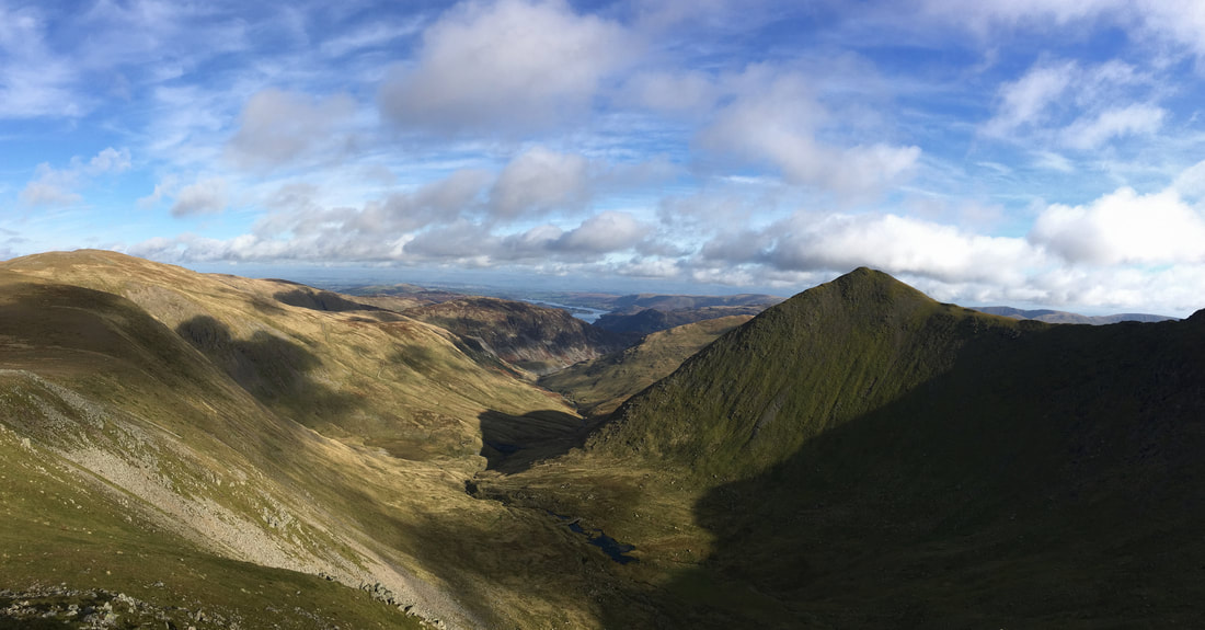
Dollywaggon Pike ahead
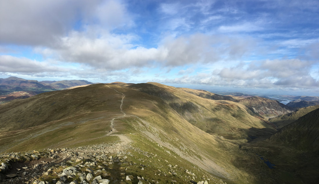
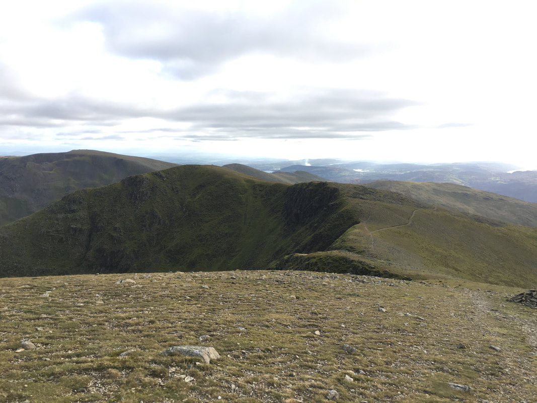
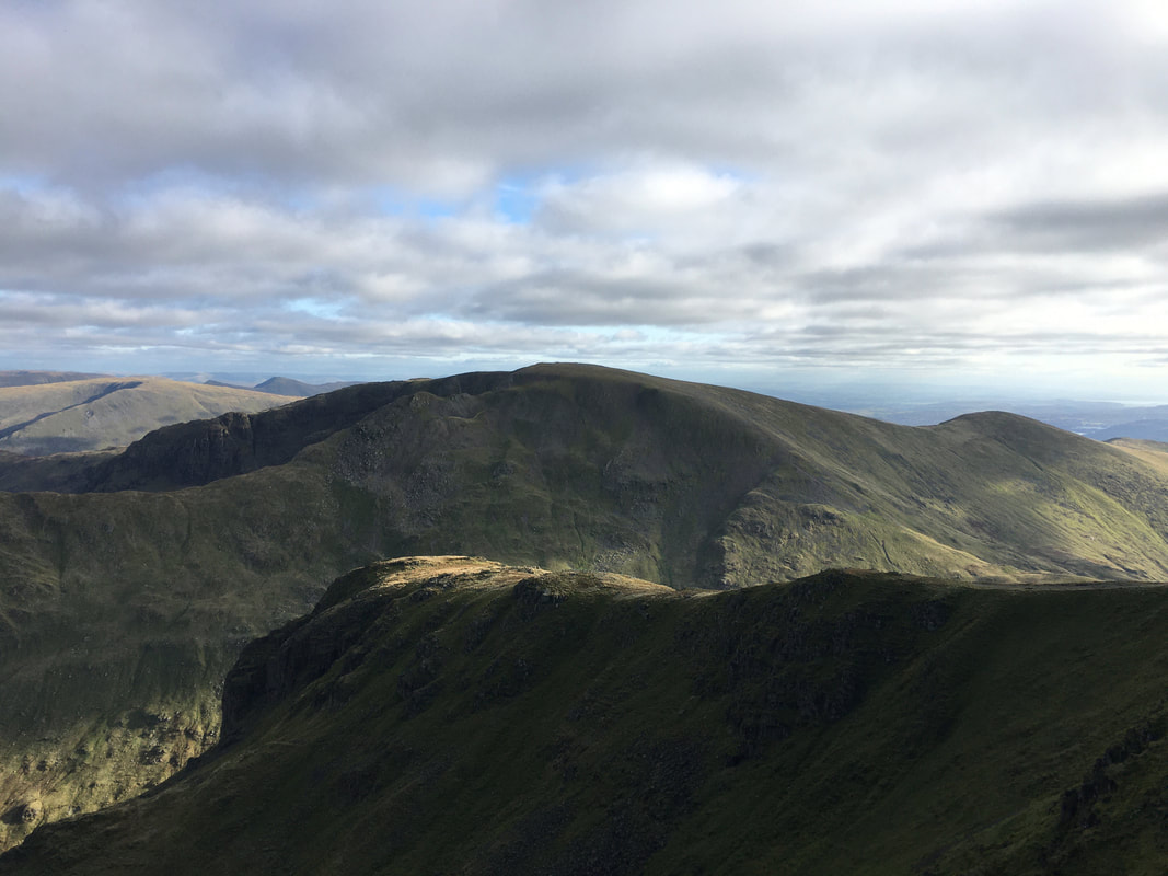
Looking back along the Helvellyn Range to High Crag, Nethermost Pike, Helvellyn, Striding Edge & Catstycam
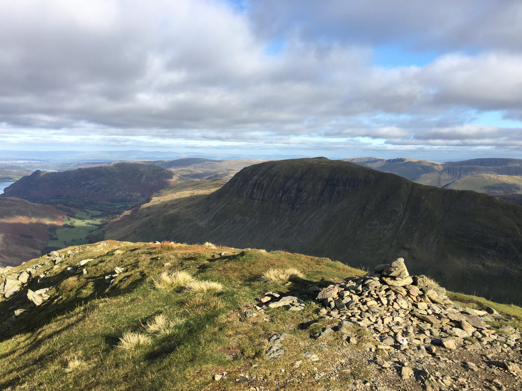
The summit of Dollywaggon Pike looking to St Sunday Crag
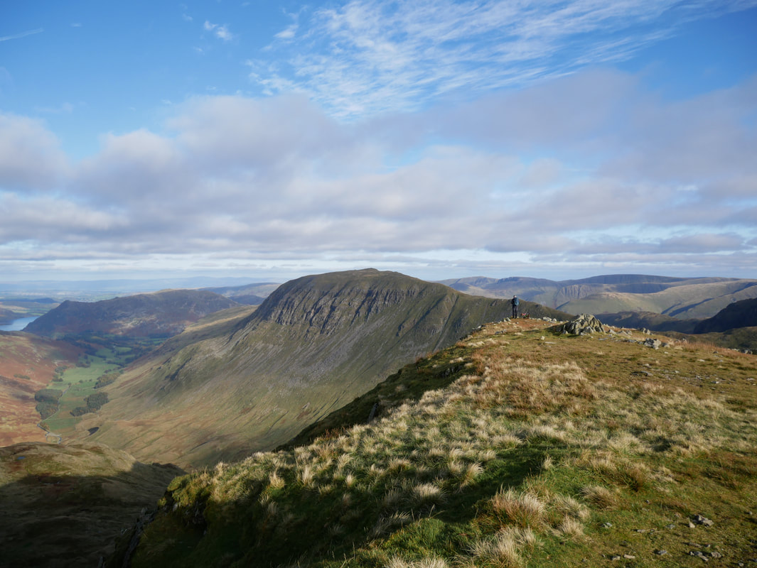
Falcon Crag with Cofa Pike & Fairfield behind - Great Rigg is to the right
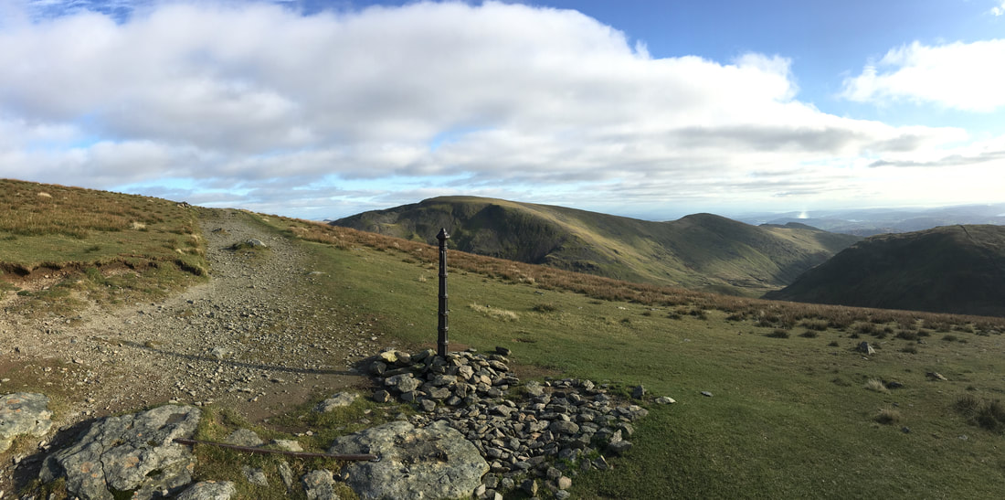
The post below Dollywaggon Pike which is marked on the OS Map - we were heading left to make the steep descent to Grisedale Tarn
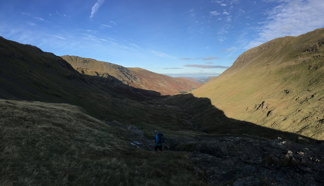
Not a bad view - looking into the Grisedale Valley and our return route with St Sunday Crag prominent
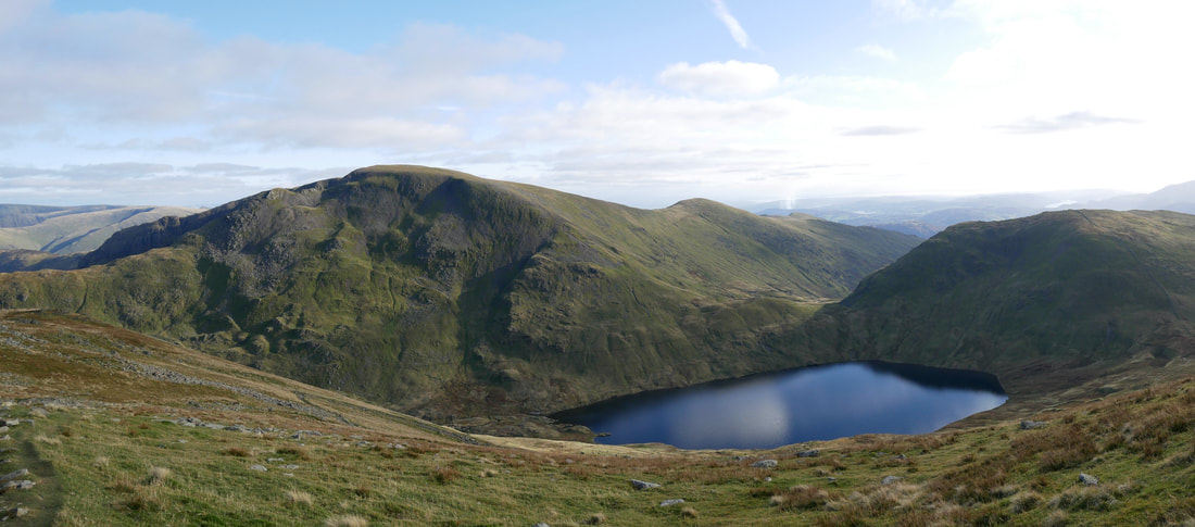
Cofa Pike, Fairfield, Great Rigg, Grisedale Tarn & Seat Sandal
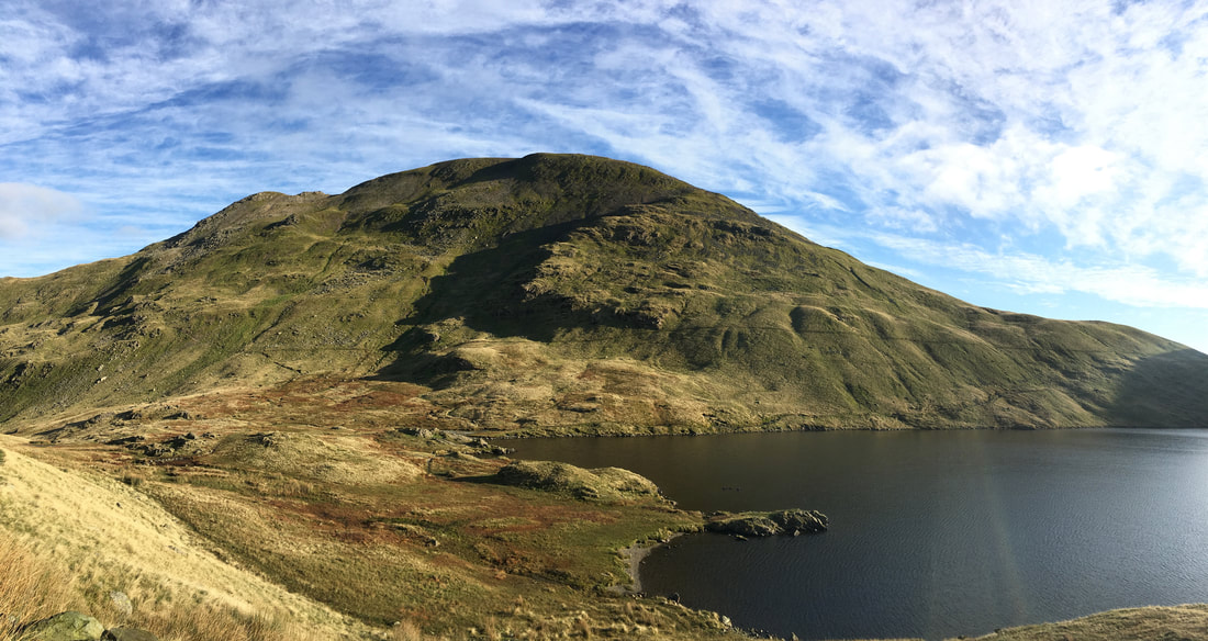
Fairfield across Grisedale Tarn
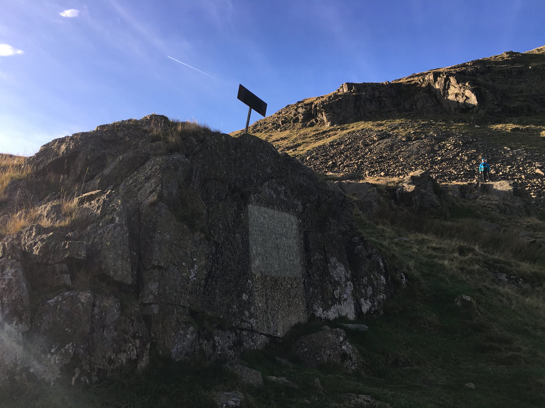
The Brothers Parting Stone
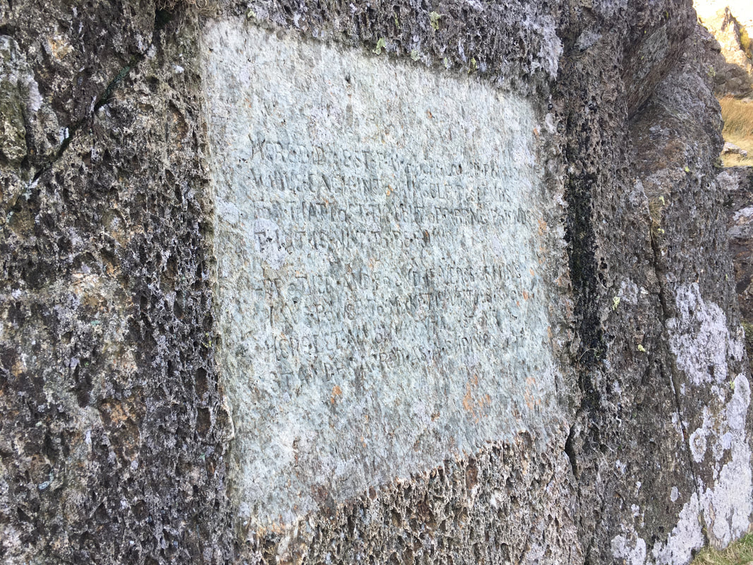
The stone is located just off the main path at Grid Reference NY 35237 12339. It marks the place at which William & Dorothy Wordsworth last saw their brother John on 29 September 1800. John was on his way to command his ship the Earl of Abergavenny which belonged to the East India Company. He was drowned, along with 250 other men when the ship sank off Portland on 5 February 1805. The stone is engraved with an inscription (barely legible) which is taken from the Elegiac Verses that Wordsworth wrote in memory of his brother in 1805 although they were not published until 1842.
The inscription reads:
Here did we stop; and here looked round
While each into himself descends,
For that last thought of parting Friends
That is not to be found.
Brother and friend, if verse of mine
Have power to make thy virtues known,
Here let a monumental Stone
Stand–sacred as a Shrine
A close up of the inscription on the Brothers Parting Stone
Heading down the Grisedale Valley - next stop Ruthwaite Lodge
Looking back to Cofa Pike & Fairfield
Ruthwaite Lodge Climbing Hut
The climbing hut was restored in 1993 in memory of the bravery of two climbers from Outward Bound Ullswater, who lost their lives climbing Mount Cook in New Zealand. The plaque to the left of the door commemorates this.
The climbing hut was restored in 1993 in memory of the bravery of two climbers from Outward Bound Ullswater, who lost their lives climbing Mount Cook in New Zealand. The plaque to the left of the door commemorates this.
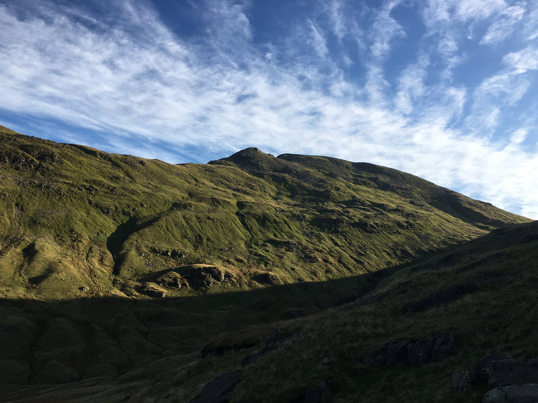
St Sunday Crag
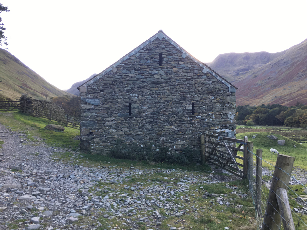
The old barn near Elmhow Farm
Wainwright sheltered here overnight whilst writing the Pictorial Guides. He stated he did not sleep a wink in case the Farmer discovered him. He left at dawn to catch the bus back to Kendal from Grasmere.
Wainwright sheltered here overnight whilst writing the Pictorial Guides. He stated he did not sleep a wink in case the Farmer discovered him. He left at dawn to catch the bus back to Kendal from Grasmere.
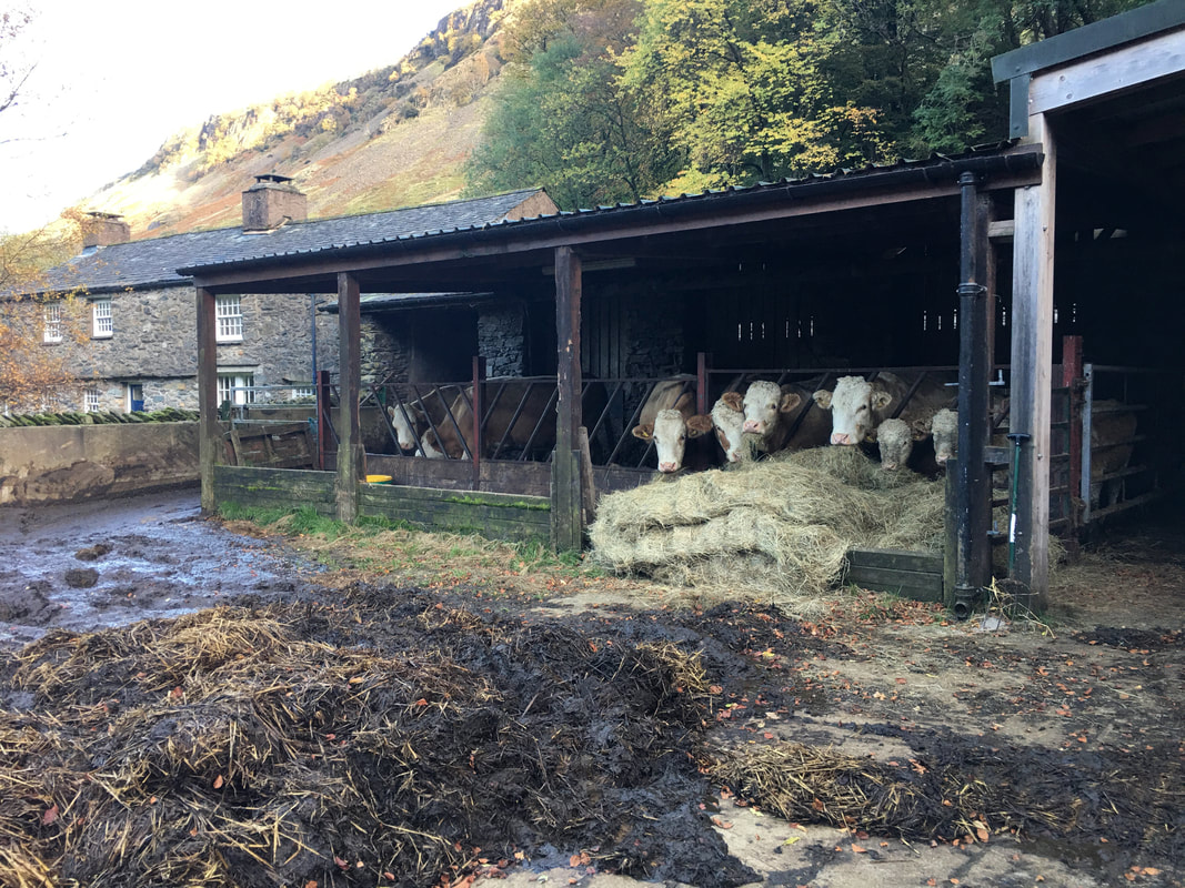
Disturbing the late meal sitting at Elm How Farm
