Sour Howes, Sallows & Troutbeck Tongue - Monday 2 March 2020
Route
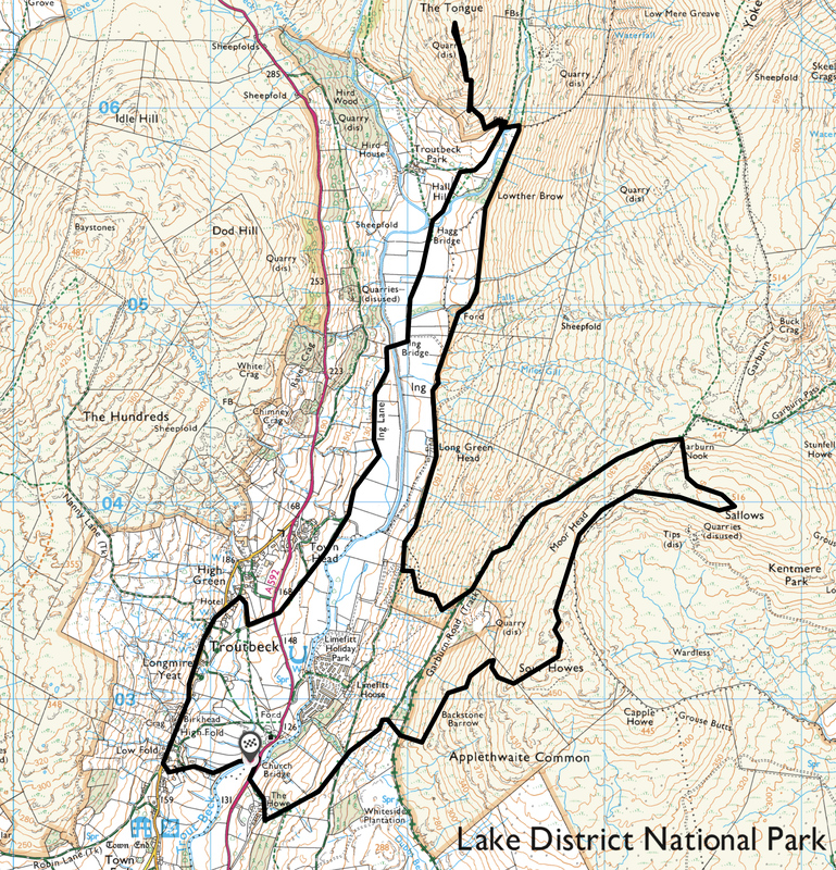
Troutbeck - Garburn Road - Applethwaite Common - Sour Howes - Moor Head - Sallows - Garburn Pass - Ing - Lowther Brow - Troutbeck Tongue - Ing Bridge - Ing Lane - Town Head - Mortal Man - Troutbeck
Parking
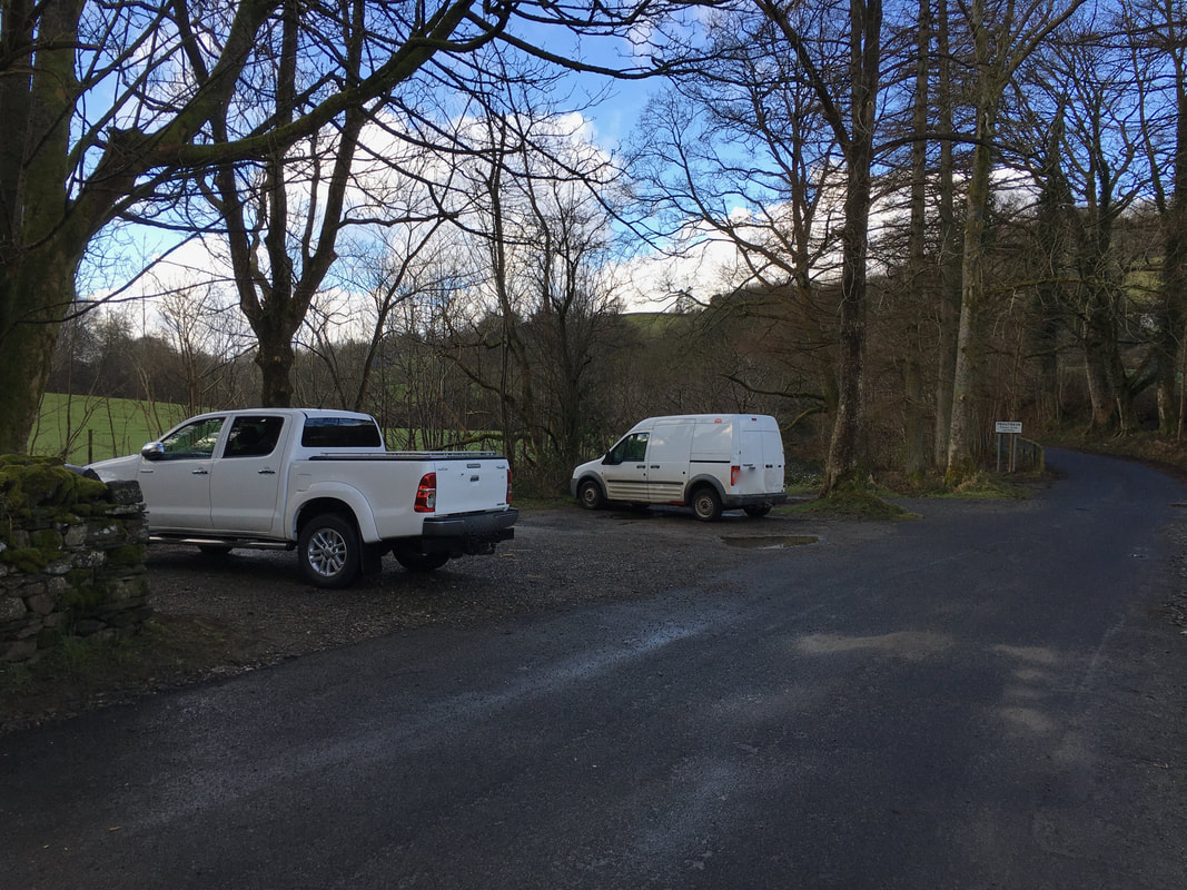
Small Car Park on the road linking the A592 & Troutbeck Village (Free) - Grid Ref NY 412027. The nearest postcode is LA23 1PB.
Mileage
10 miles
Terrain
Clear mountain & moorland paths for the most part with some road walking on quiet lanes. The first part of the transit to/from Troutbeck Tongue can be very boggy after prolonged rain.
Weather
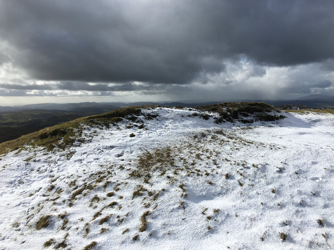
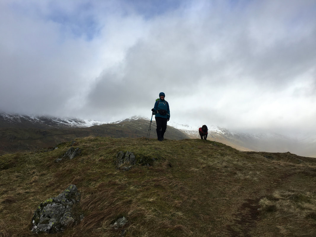
Intermittent sleet, snow and rain with snowy patches on the fell side. Other than that it was positively glorious!!
Time Taken
6hrs
Total Ascent
2539ft (774m)
Wainwrights
3
Map
OL7 - The English Lakes - South Eastern Area
Walkers
Dave, Angie & Fudge
|
GPX File
|
| ||
If the above GPX file fails to download or presents itself as an XML file once downloaded then please feel free to contact me and I will send you the GPX file via e-mail.
Route Map
The parking area just off the link road between the A592 and Troutbeck Village - at the weekend get here early as it fills up very quickly.
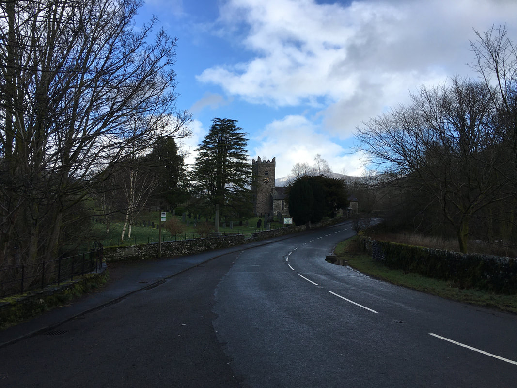
Jesus Church in Troutbeck
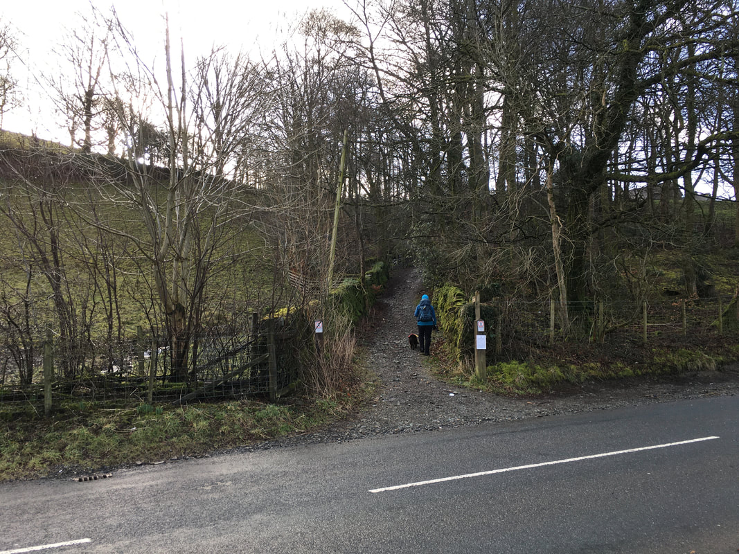
After crossing Church Bridge the route crosses over the A592 to head up on to the Garburn Road.
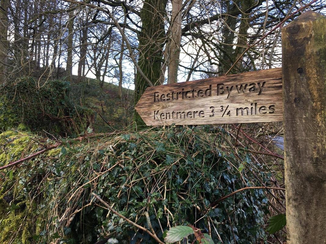
The Garburn Road is an old packhorse route between the Troutbeck and Kentmere valleys.
The Garburn Road is an old packhorse route between the Troutbeck and Kentmere valleys.
The Garburn Road later becomes the Garburn Pass to reach Kentmere although we would not be going that far along it today
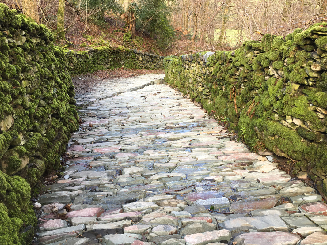
Clearly a bit of work has gone on during the initial stages of the Garburn Road - would be fun in the ice though
Wansfell Pike across the Troutbeck Valley
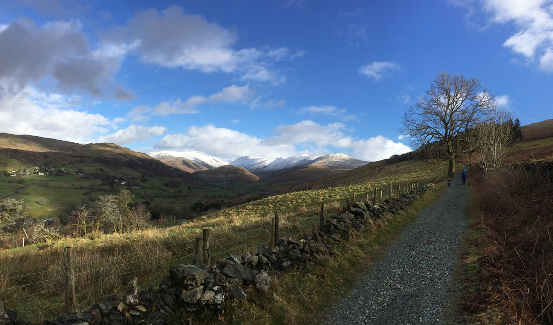
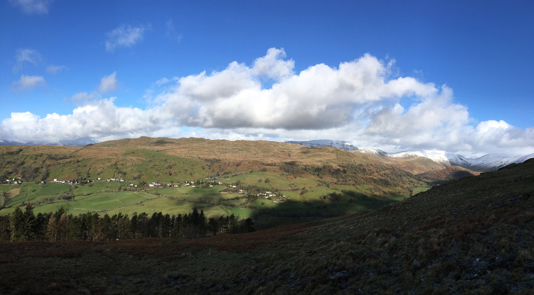
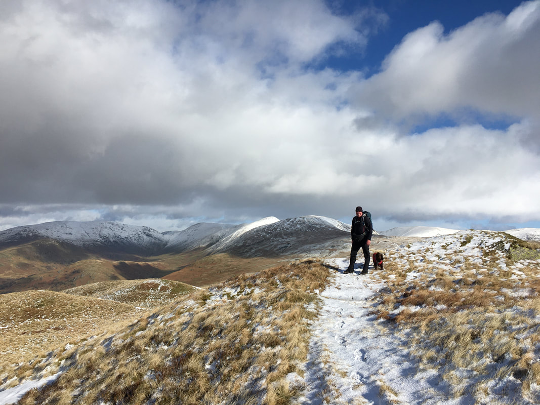
Heading along the Garburn Road with the western side of the Kentmere Horseshoe slap bang in the centre of shot - Yoke, Ill Bell, Froswick & Thornthwaite Crag
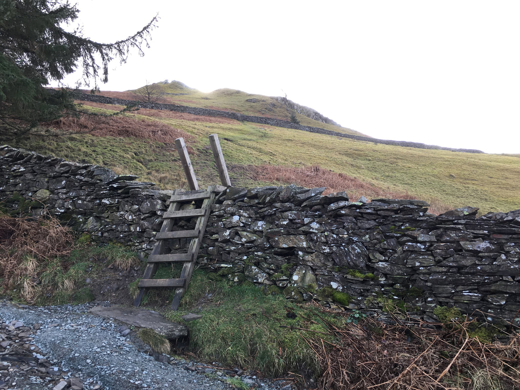
A stile is crossed followed by another in quick succession to head across Applethwaite Common
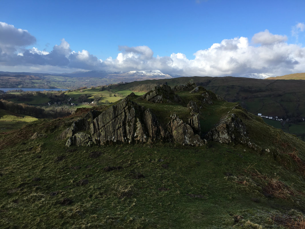
A lovely rock outcrop is reached which gives a fine view over to the head of Windermere
Another view of Wansfell this time from the rock outcrop
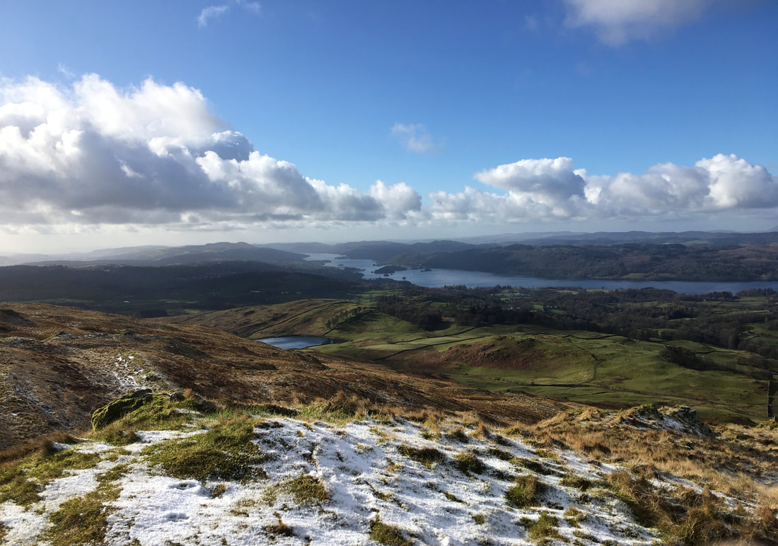
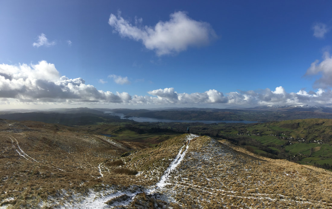
Dubbs Reservoir and Windermere come into view as height is gained
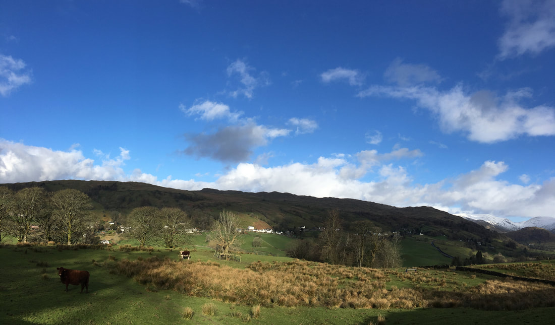
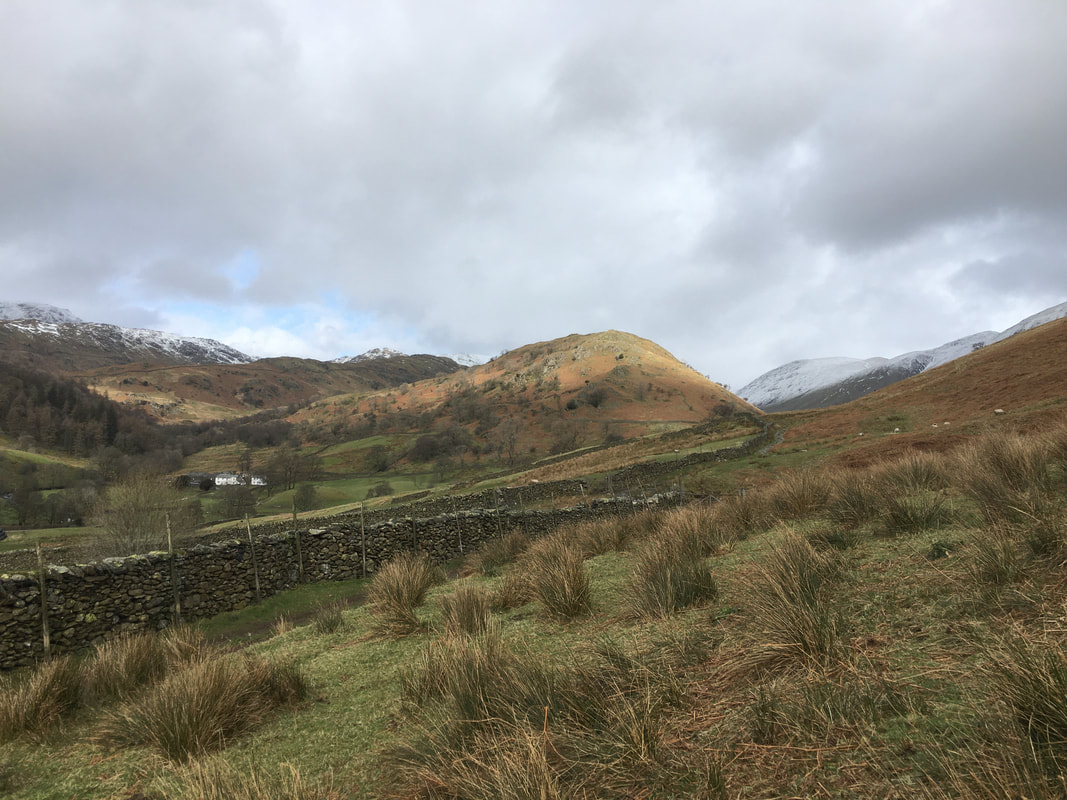
For very little effort the views on this walk are pretty good don't you think?
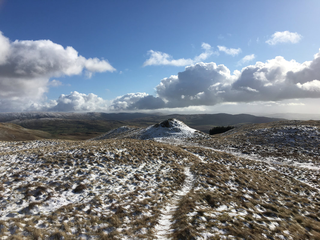
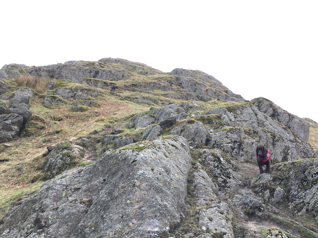
No not the top but this knoll to the left of the actual summit is more or less equal in height but is not recognised as the actual top of the fell.
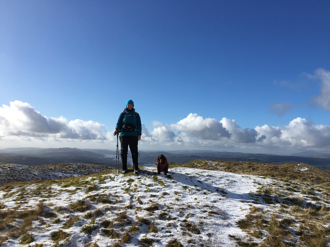
The summit of Sour Howes - as usual Fudge is giving us his "I'm not really arsed where we are" sort of face
With Fudge on Sour Howes - we were off to Sallows next
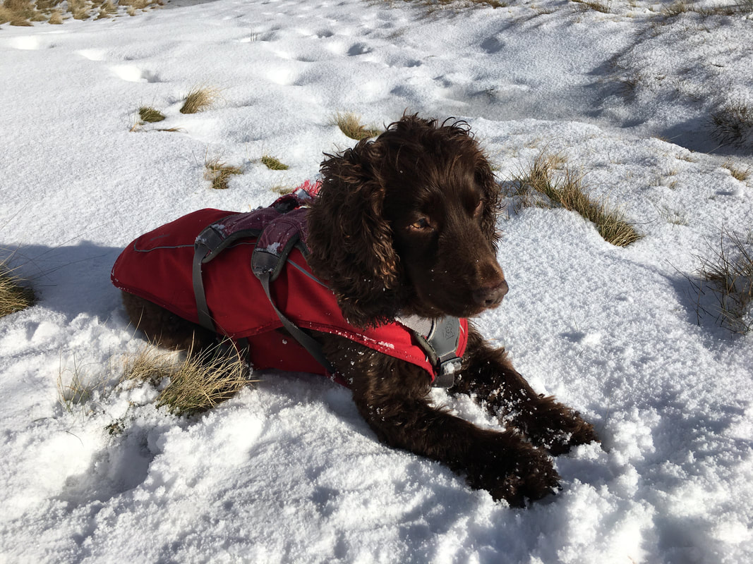
A rare beast indeed - Fudge sitting still
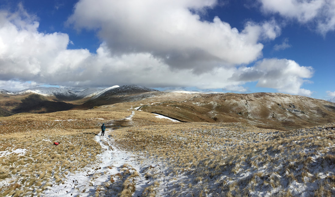
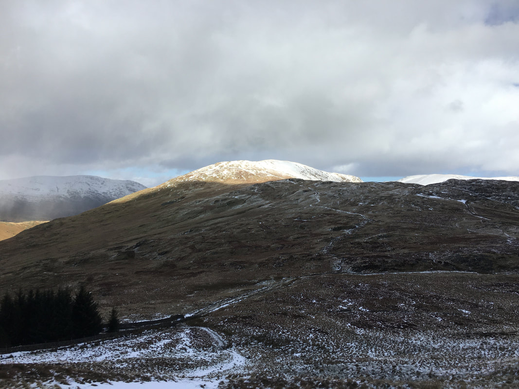
Heading for Sallows which is on the extreme right of the picture
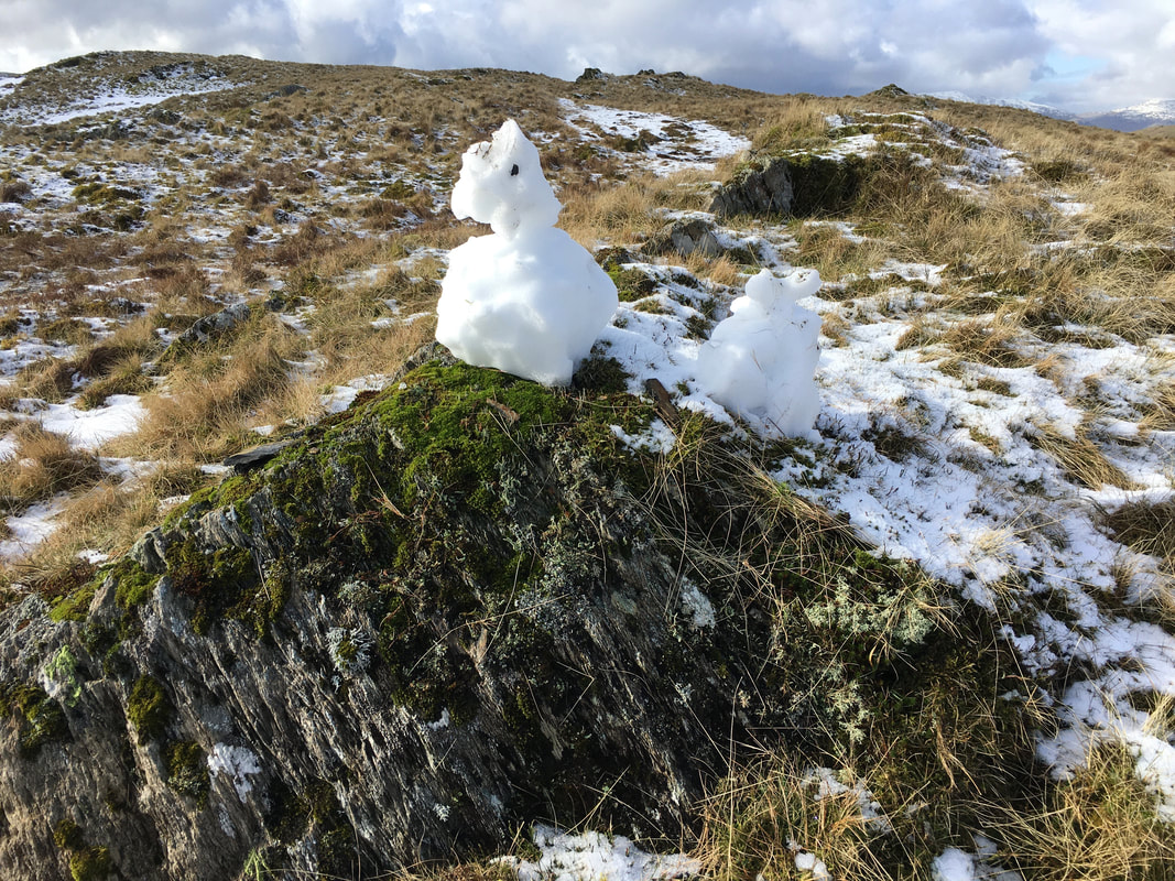
Not a bad effort at making a quick snowman or should that be snow person?
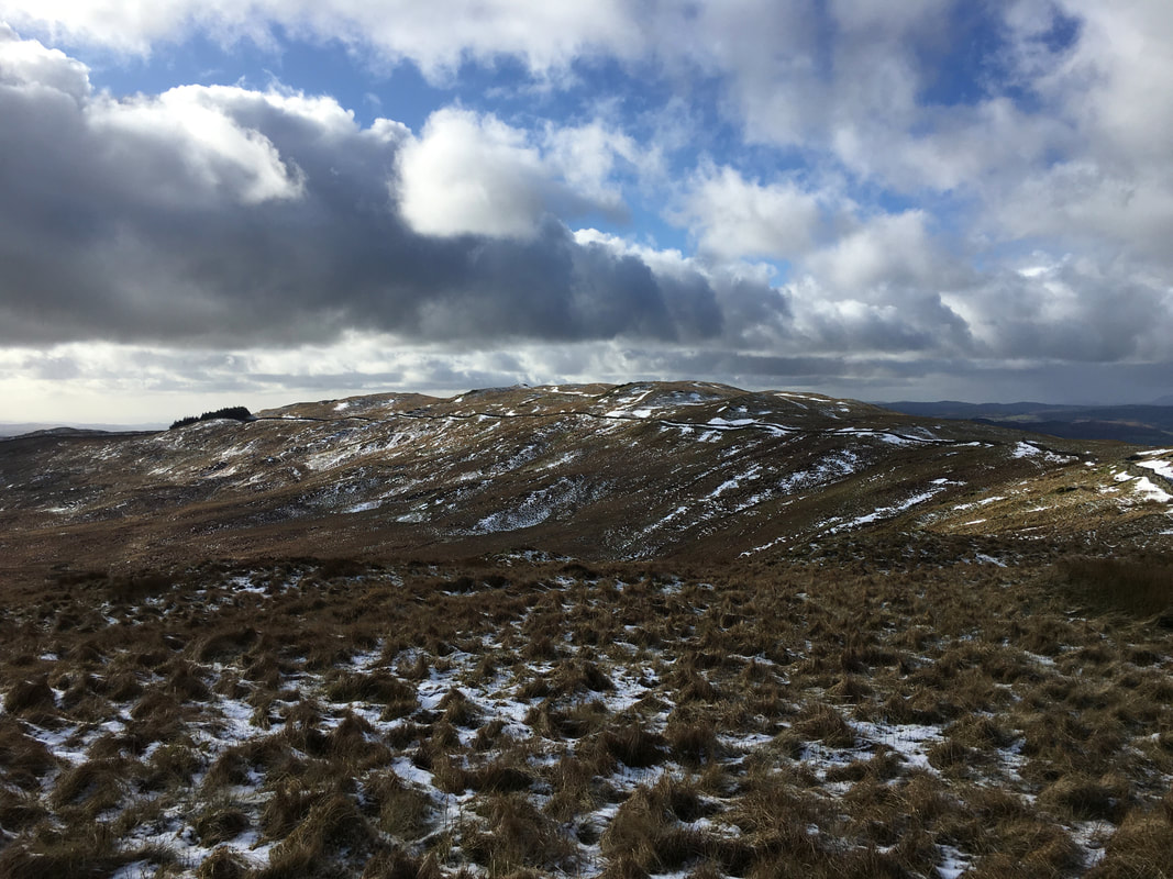
Looking back to Sour Howes
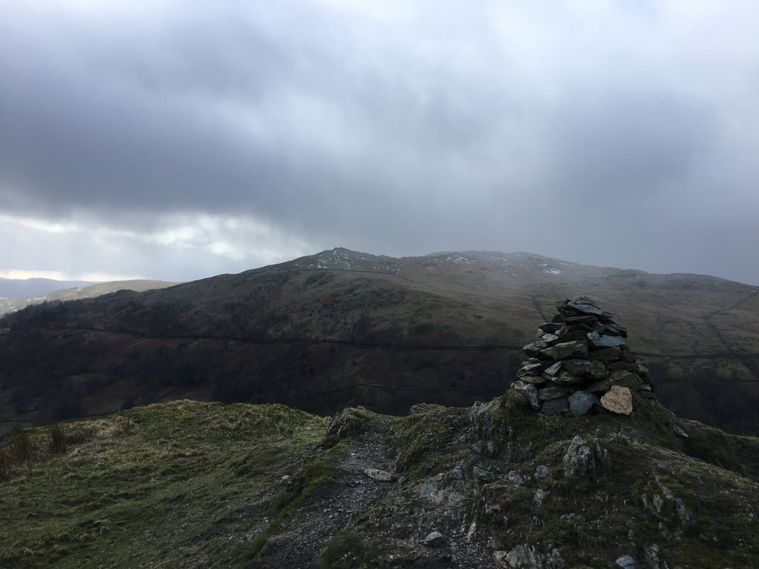
The understated summit of Sallows
Looking to Yoke as we make our descent back down to the Garburn Road
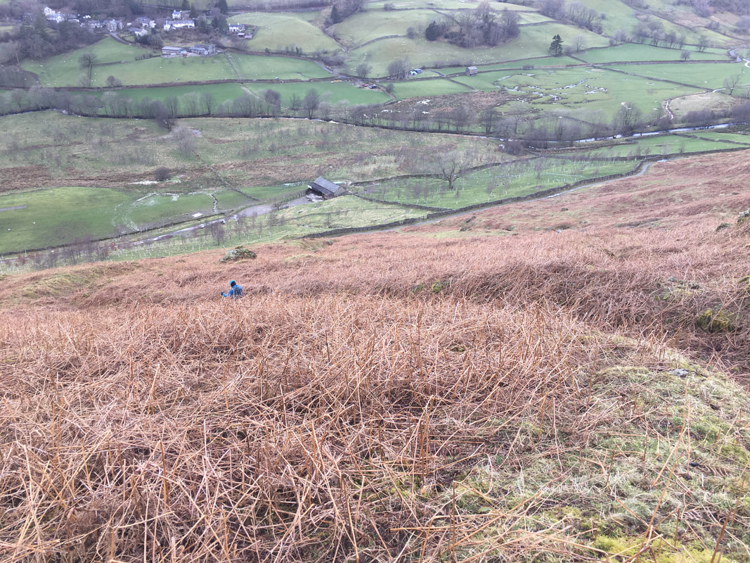
A zig zag path of sorts leads us down to the track coming out of Limefitt
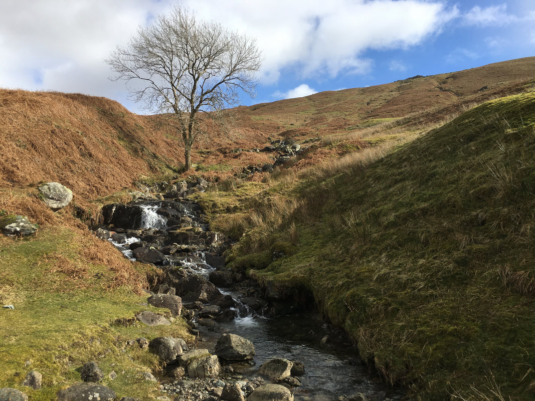
Lovely falls which are located due east of Ing Bridge
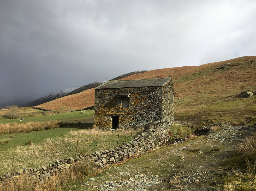
The route continues along the path to head around this lovely old farm building
Troutbeck Tongue ahead
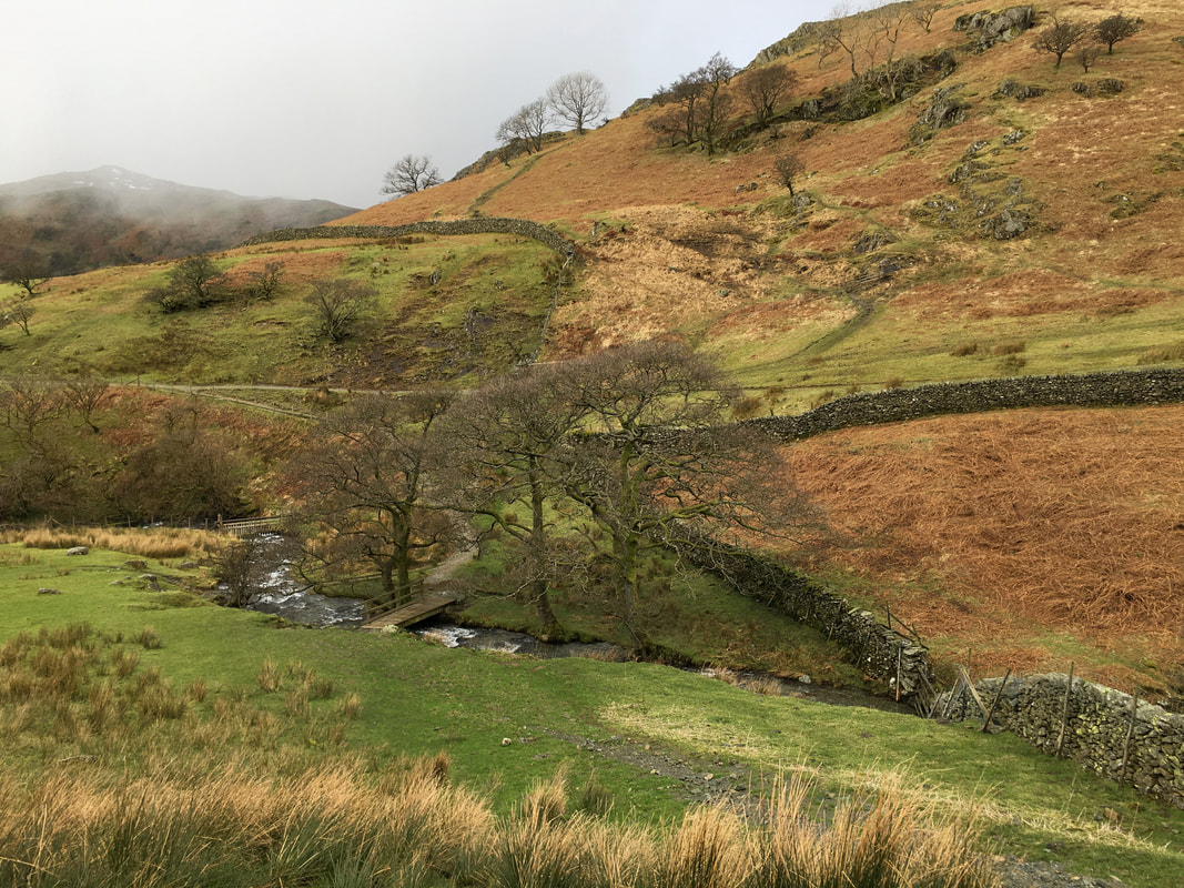
From the main track the bridge ahead is crossed to gain the path to Troutbeck Tongue
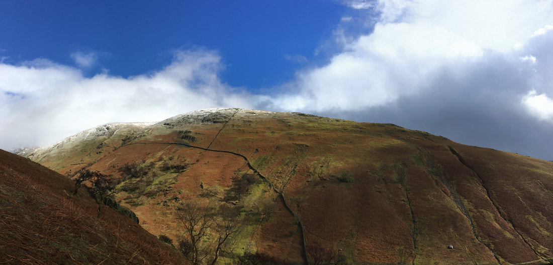
Yoke from the ascent of Troutbeck Tongue
After an initially boggy start the path up Troutbeck Tongue became more rocky
The summit of Troutbeck Tongue
Angie & Fudge on the summit of Troutbeck Tongue
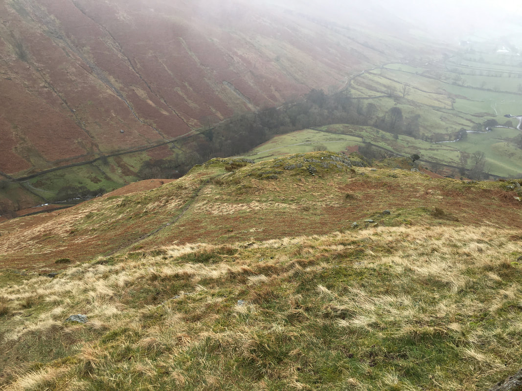
A look back down the ascent of Troutbeck Tongue - we ascended & descended the same way
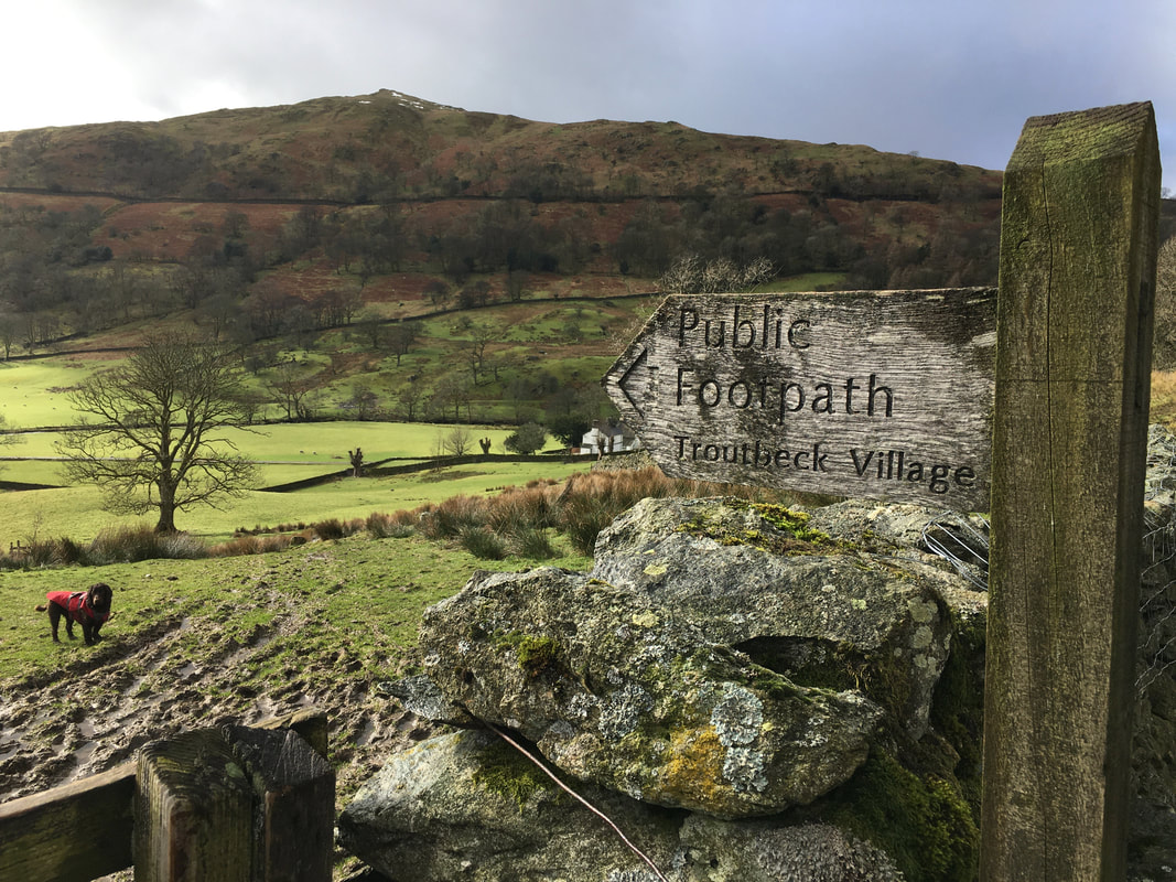
A gate at the bottom of the descent gives access to the path back to Troutbeck
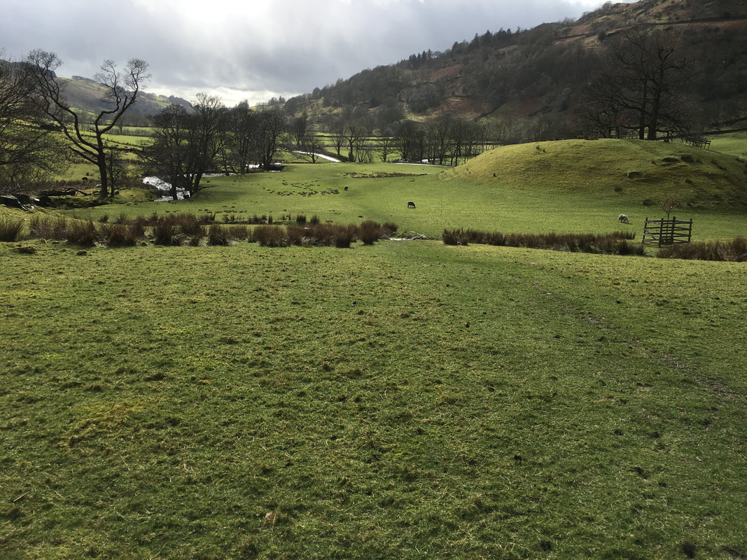
Ing Lane ahead as we pass through Troutbeck Park
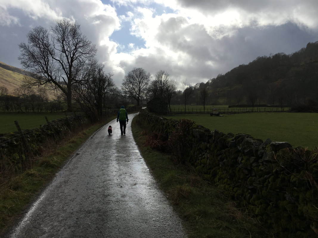
Heading along Ing Lane back to Troutbeck
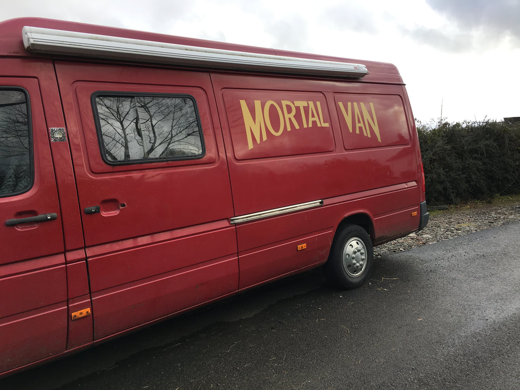
No prizes for guessing which pub this van belongs to.
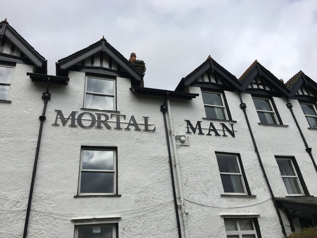
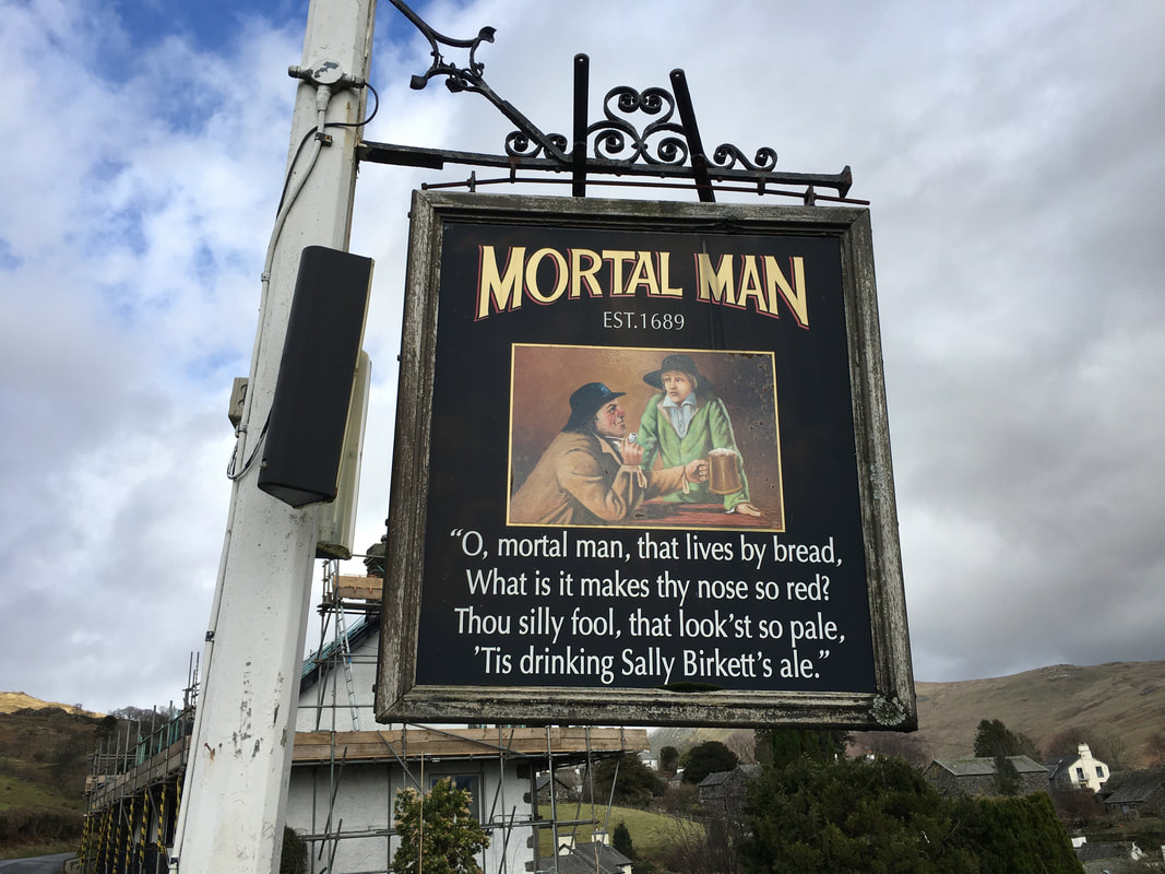
Yes it's the Mortal Man in Troutbeck - it would have been churlish for us not to have stopped for a swift half therefore we did.
As the sign states, there has been an ale house here since 1689. Originally called The White House, The Mortal Man earned its great name from the locals of that long gone era, who became fond of the ‘Sally Birkett’ rhyme depicted on the inn sign. In time, the nickname became so universal that ‘The White House’ was dropped in favour of ‘Mortal Man’. Sally Birkett Ale is still brewed by the nearby Hawkshead Brewery and is served in the pub.
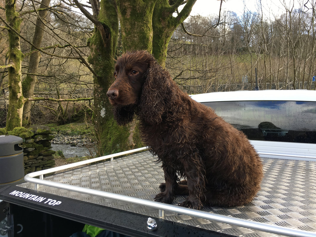
Looks like you have had a good day Fudge
