Whiteside & Hopegill Head - Friday 23 April 2021
Route
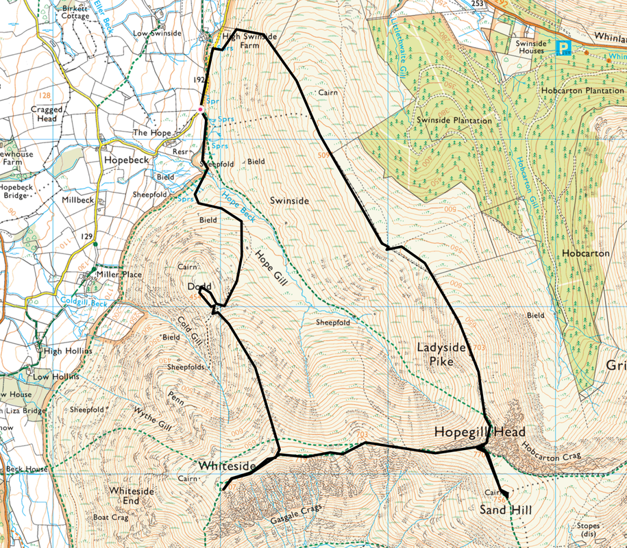
Hopebeck - Hope Beck - Dodd - Whiteside - Hopegill Head - Sand Hill - Hopegill Head - Ladyside Pike - Swinside - High Swinside Farm - Hopebeck
Parking
Verge parking for about 6 cars approximately 1/2 mile east of Hopebeck in the Vale of Lorton - Grid Reference is NY 1689 2418. Nearest postcode is CA13 9UD.
Mileage
6.4 miles
Terrain
Good mountain paths throughout. The transit across the Whiteside ridge is exhilarating but not technically difficult. Care needs to be taken descending Hopegill Head for Ladyside Pike, particularly if the rock is wet or in snow/ice.
Weather
Perfect. Warm & sunny with light breezes and excellent visibility.
Time Taken
6hrs
Total Ascent
2447ft (746m)
Wainwrights
2
Map
OL4 - The English Lakes (North Western Area)
Walkers
Dave, Angie & Fudge
|
GPX File
|
| ||
If the above GPX file fails to download or presents itself as an XML file once downloaded then please feel free to contact me and I will send you the GPX file via e-mail.
Route Map
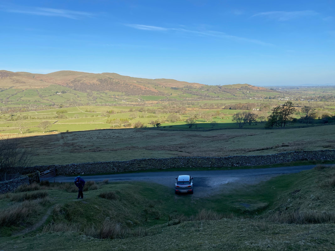
The parking area near Hopebeck. Access is via a single track lane from Lorton with passing places and an access gate (seen here to the left).
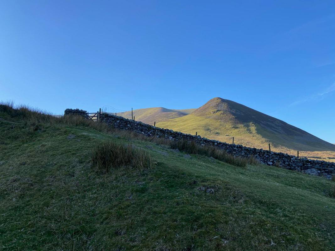
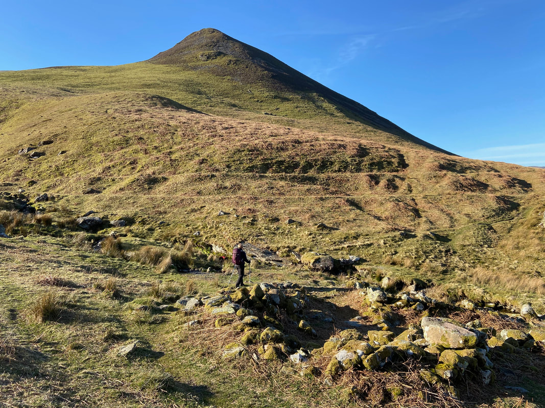
From the parking area the path heads up to a wall corner and turns to the right. Our first climb up Dodd looms ominously above.
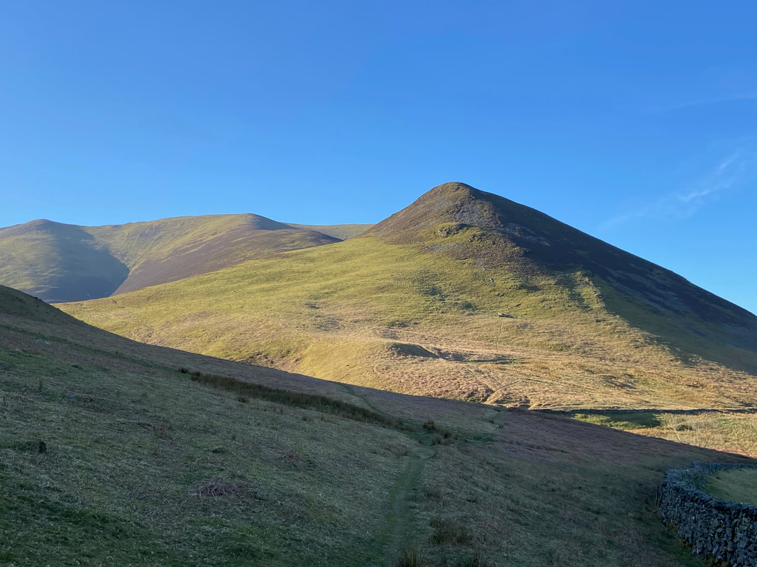
From the wall corner the path handrails the wall for a short time to then head for Hope Beck.
Crossing Hope Beck. The path heads up a small rise to join a path coming in from the right.
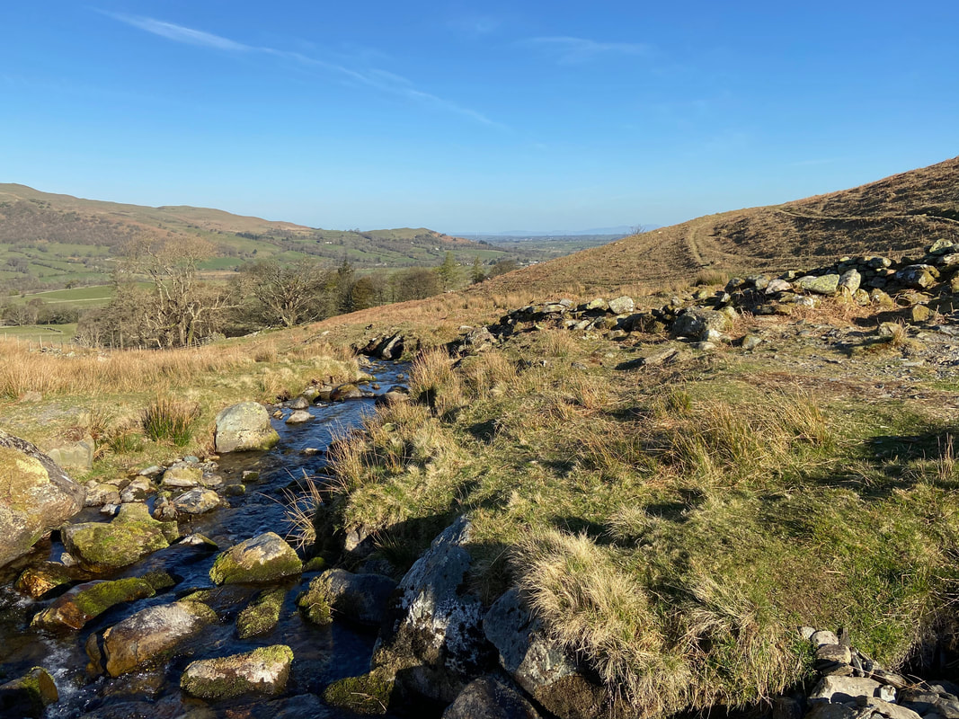
Hope Beck
Looking up Hope Gill towards Ladyside Pike & Hopegill Head with the slopes of Swinside to the left
And so begins the gradual climb up Dodd
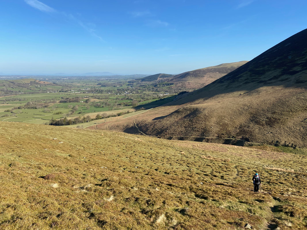
Looking back down the ascent to Hope Gill & Whinlatter. The path seen below heading across the lower slopes of Swinside heads up Hope Gill and looked an interesting ascent to Hopegill Head.
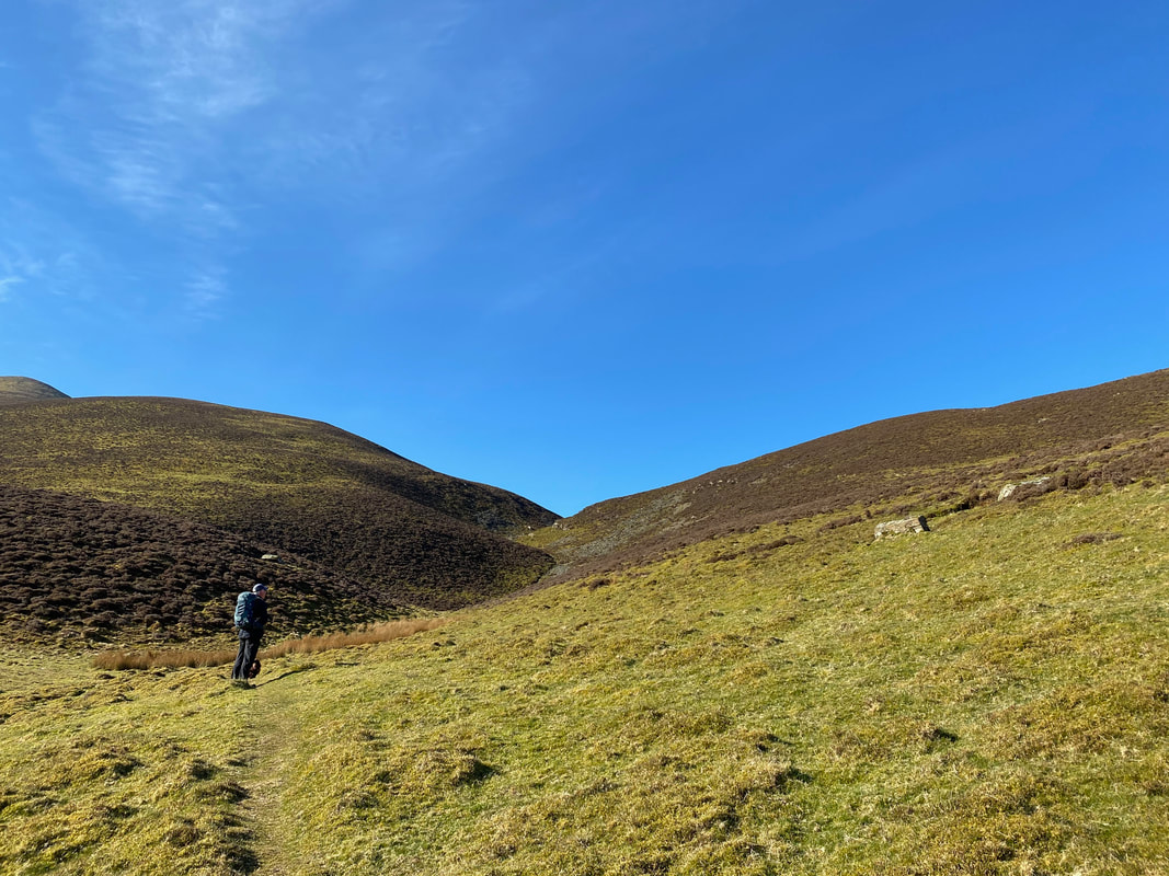
Decision time. Where I am standing is a junction of paths therefore Angie & I parted company here in order to try out 2 different ascents of Dodd. Angie headed to the right whilst I carried straight on towards the col ahead. Both ascents are easy enough and on clear paths.
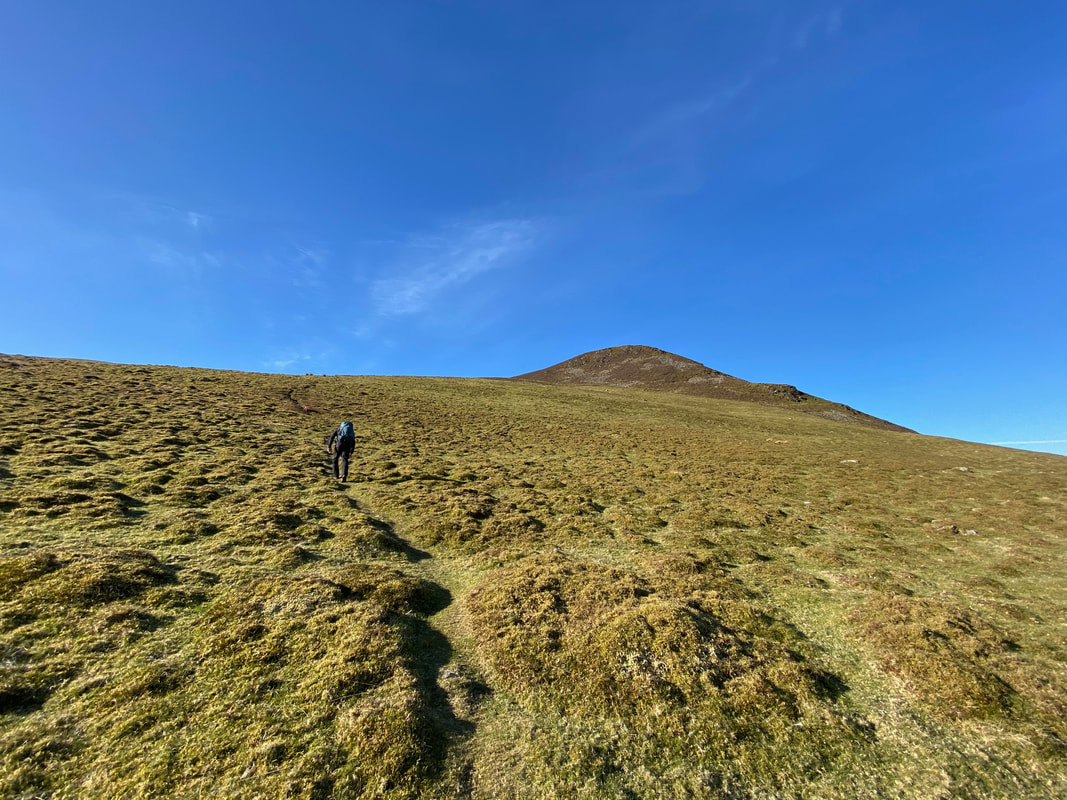
Whilst a tad rough in parts, the path from near the col was clear enough on the ground
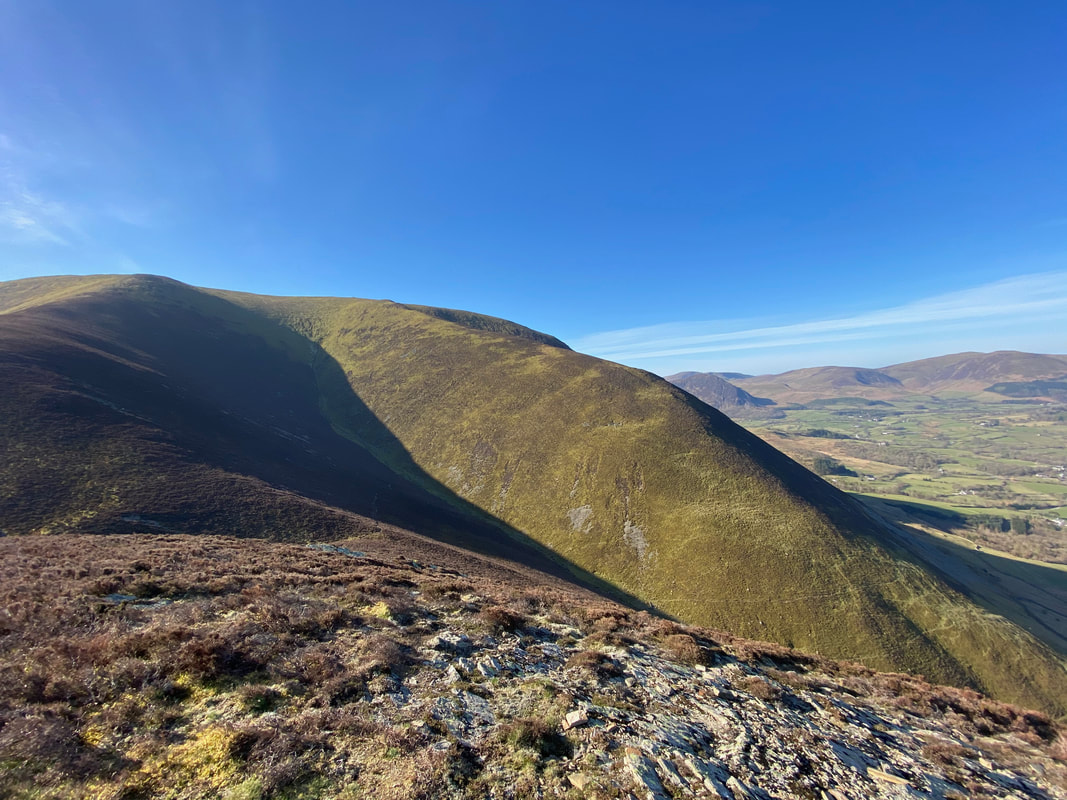
Looking back down my ascent towards Ladyside Pike, Hopegill Head and the ridge of Whiteside.
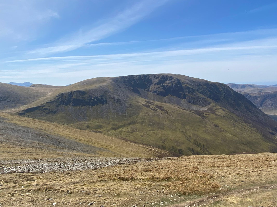
The summit of Dodd looking in to Cold Gill with the spur of Penn central
A glorious view to the west from the summit of Dodd - Mellbreak, Hen Comb, Gavel Fell, Blake Fell, Burnbank Fell, Low Fell & Fellbarrow
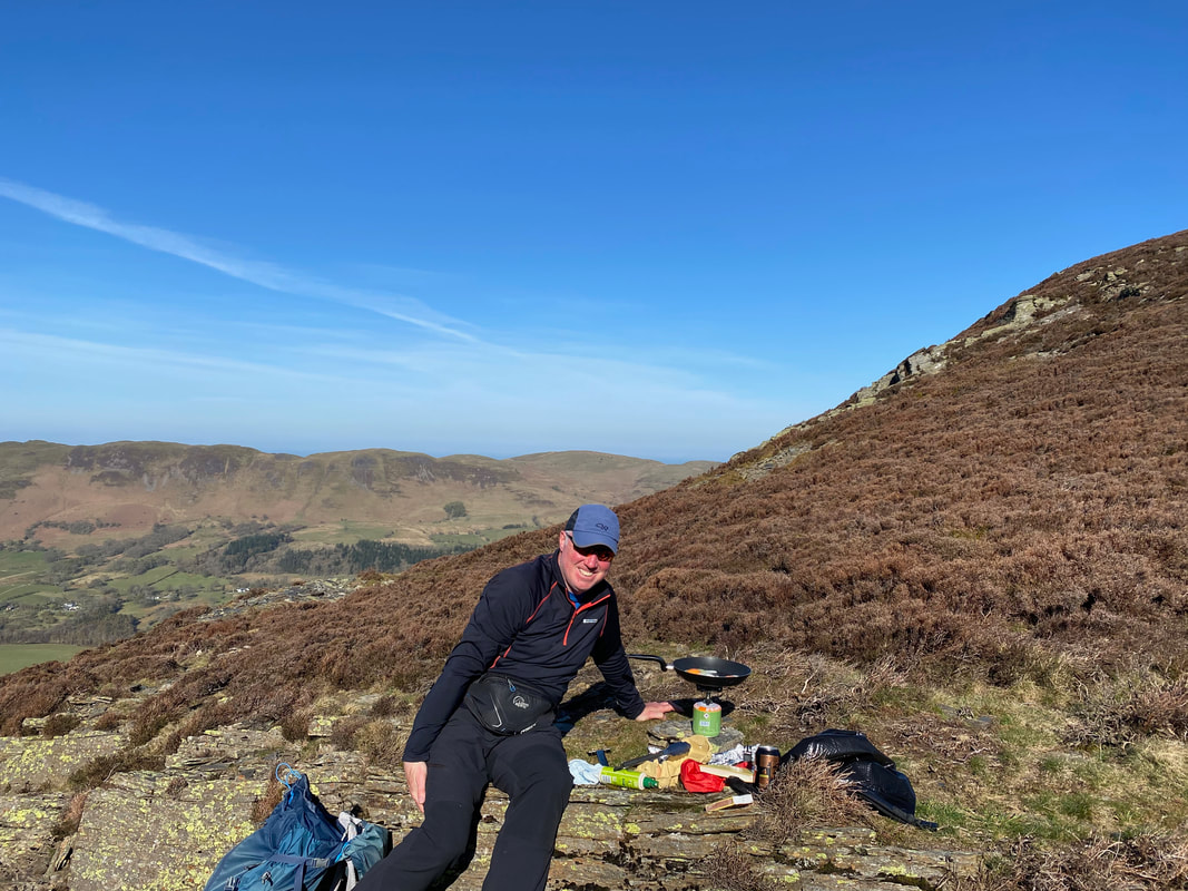
As we were out early we cooked our breakfast above the col between Dodd and Whiteside. There is something really rather wonderful about alfresco dining on the mountain, particularly on a day like today.
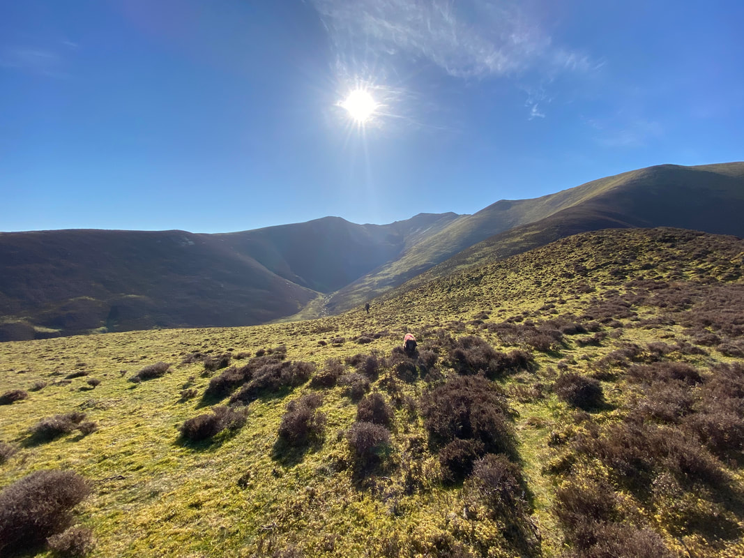
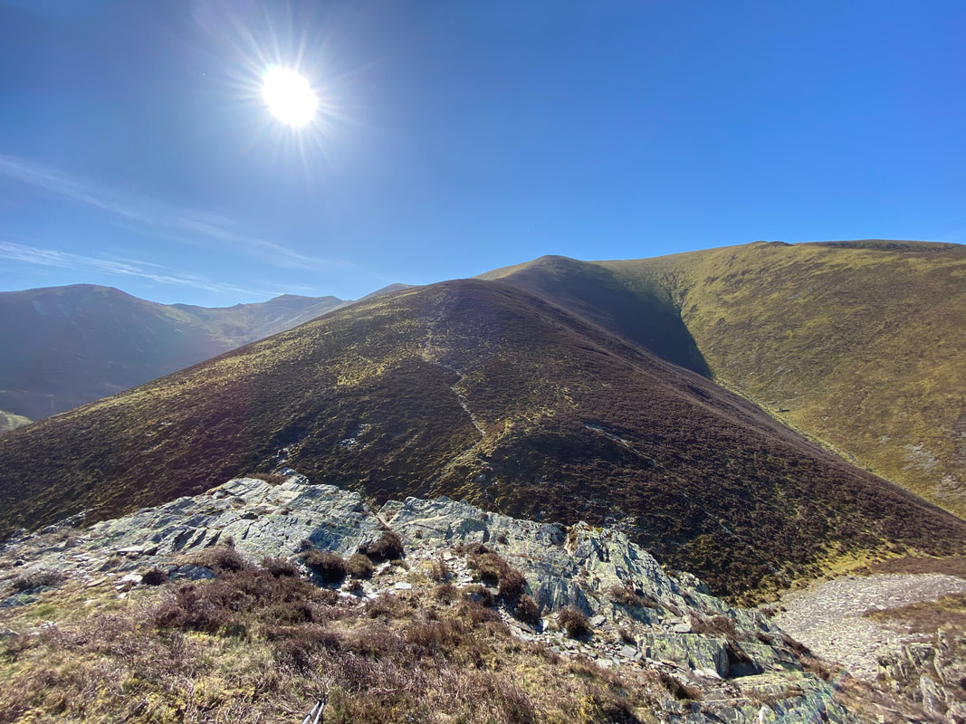
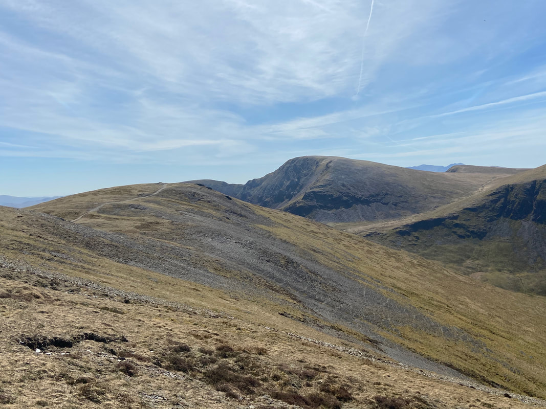
The route ahead from near our breakfast stop. The path drops into Dodd Pass linking Hope Gill & Cold Gill to then begin the long but gradual ascent to the ridge between Whiteside & Hopegill Head.
Transitting through Dodd Pass to join the path to Whiteside
Dodd & the Dodd Pass from our ascent to Whiteside
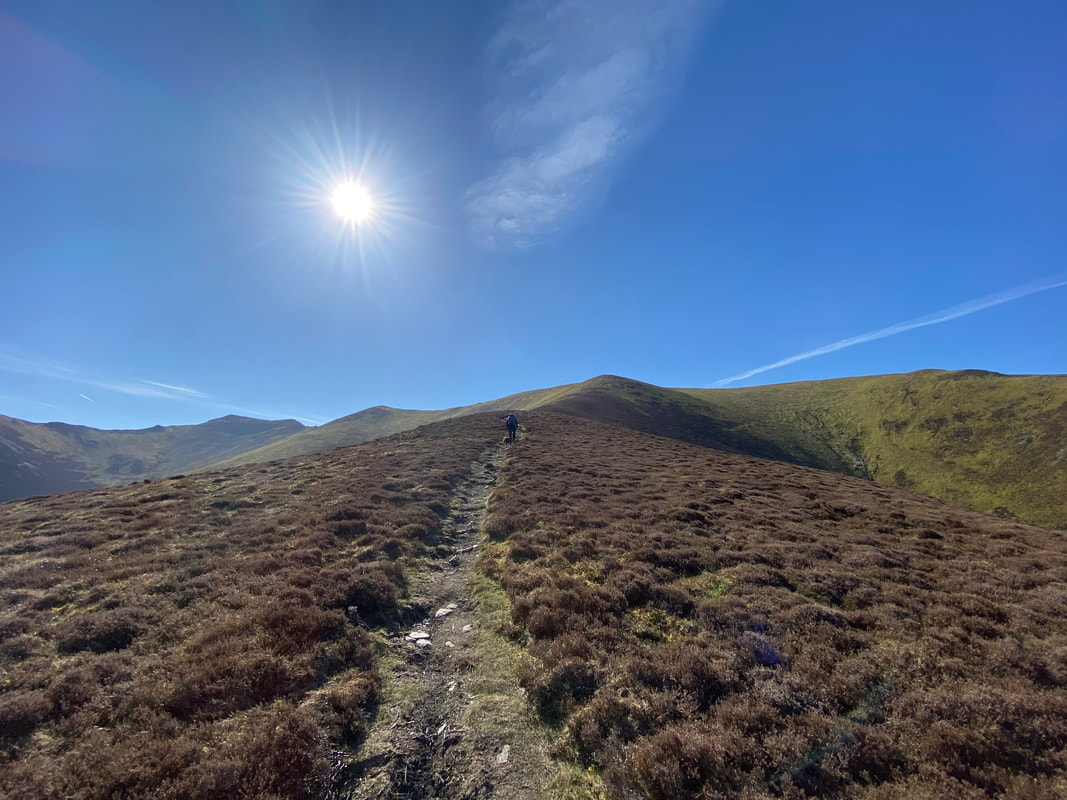
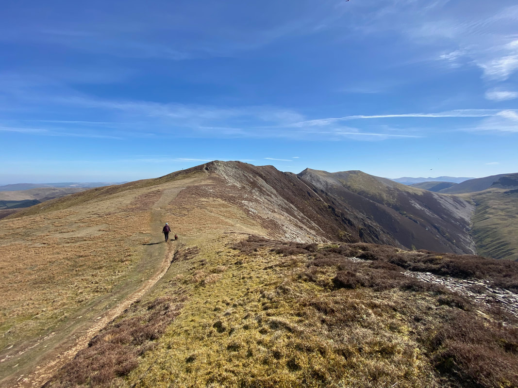
This was a delightful section of the walk - not too steep and a clear but unfrequented path.
The top of the ridge looking to Whiteside
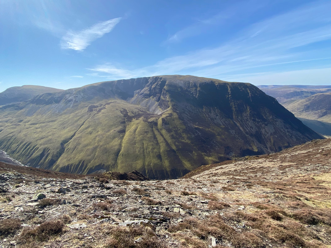
The huge bulk of Grasmoor
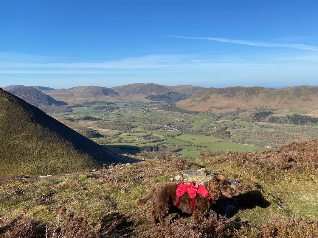
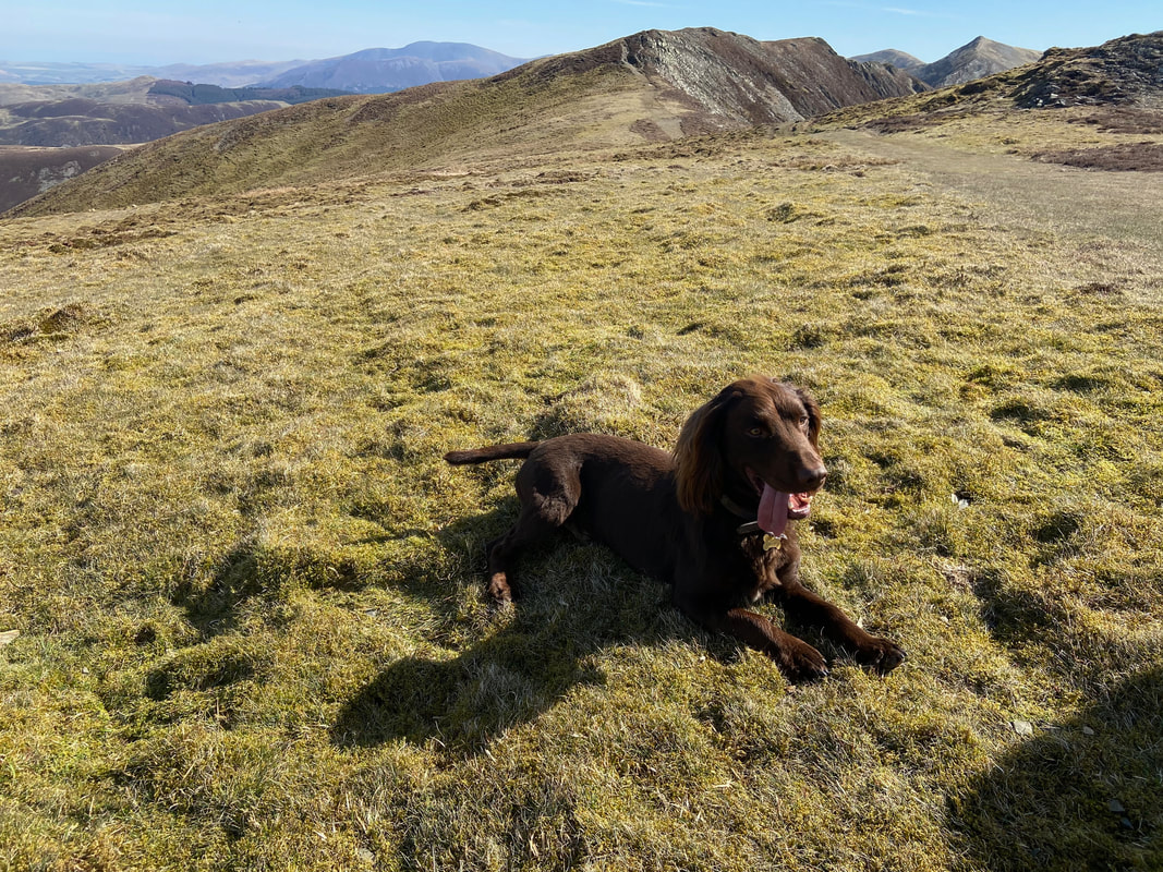
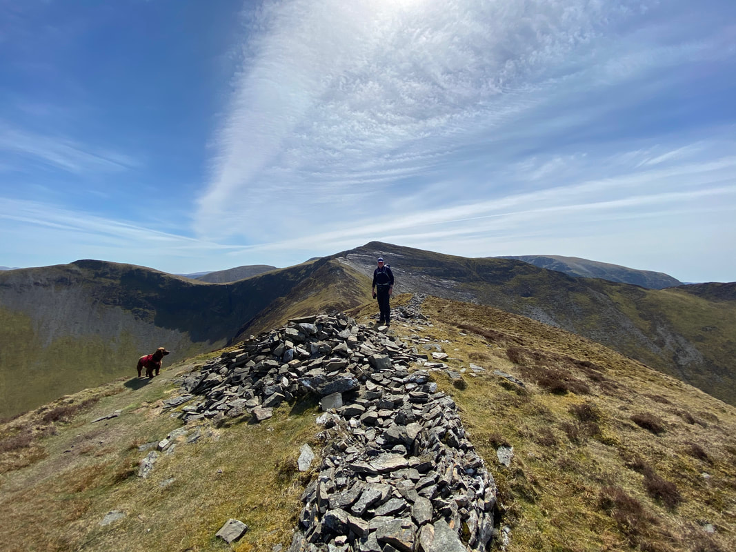
Nearing the summit of Whiteside we met a gorgeous Sprocker called Cooper who was having a whale of a time.
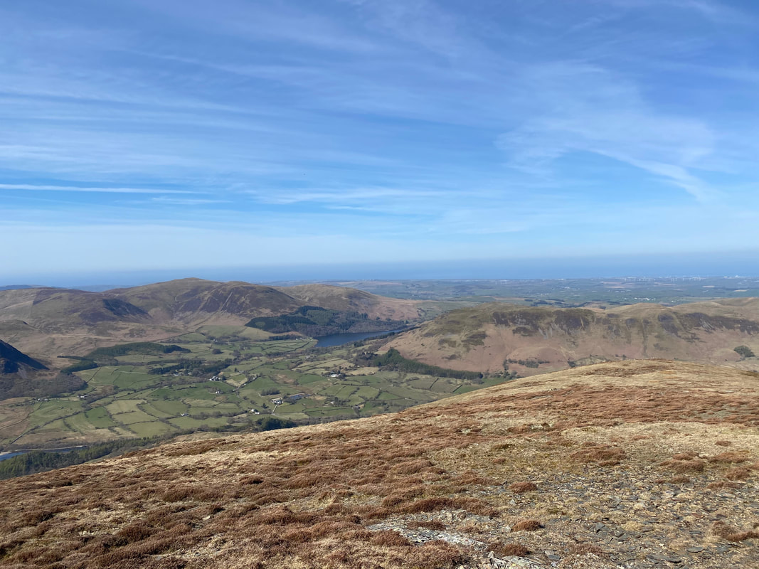
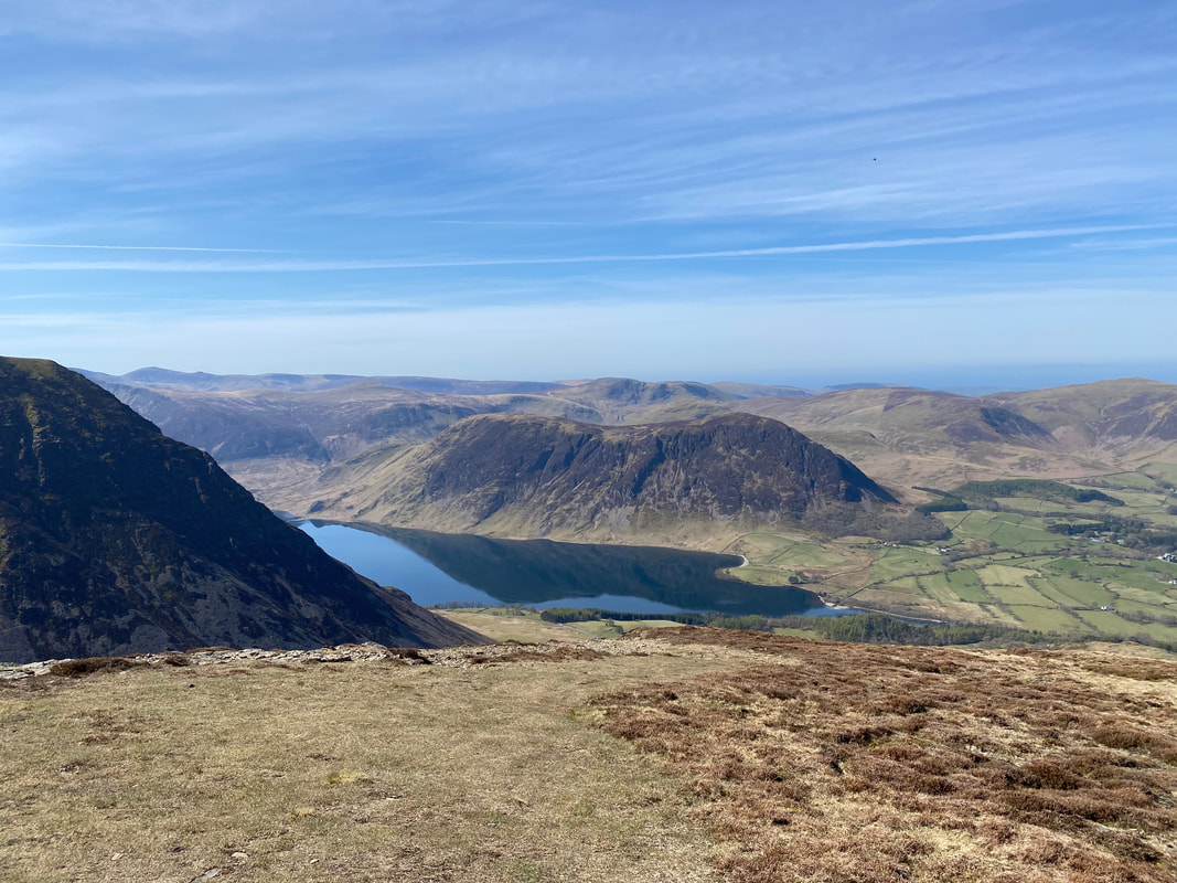
At the top of the ridge Loweswater comes into view
The summit of Whiteside
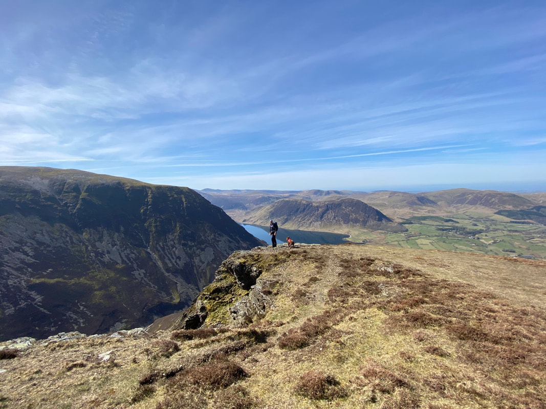
Looking from Whiteside's summit. To the right is the steep western ridge of Grasmoor with Mellbreak sitting above Crummock Water
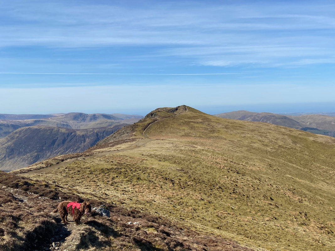
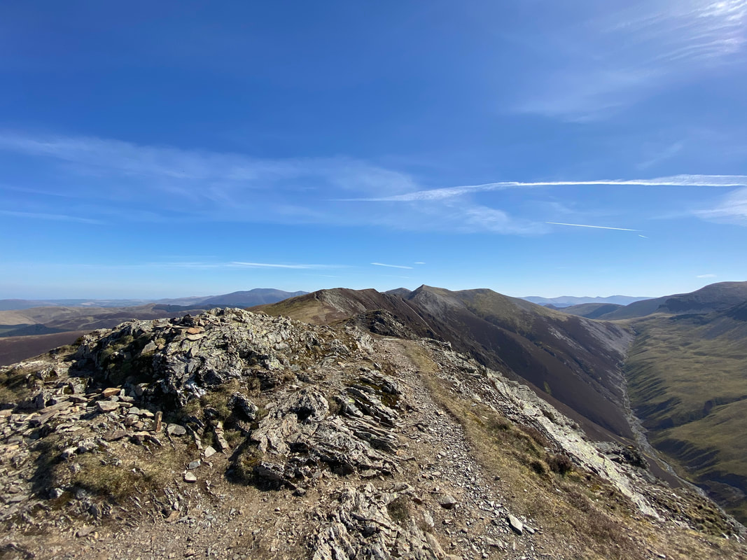
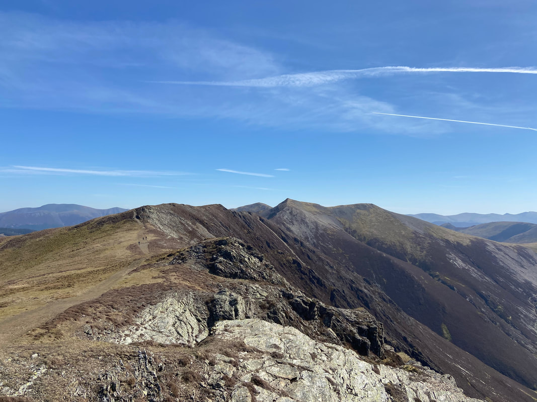
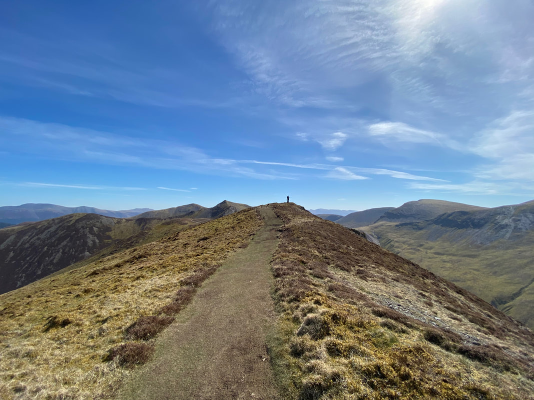
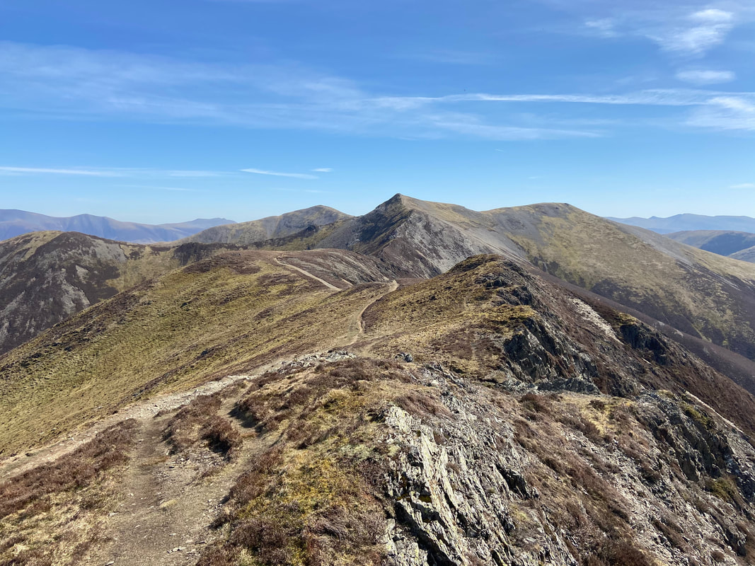
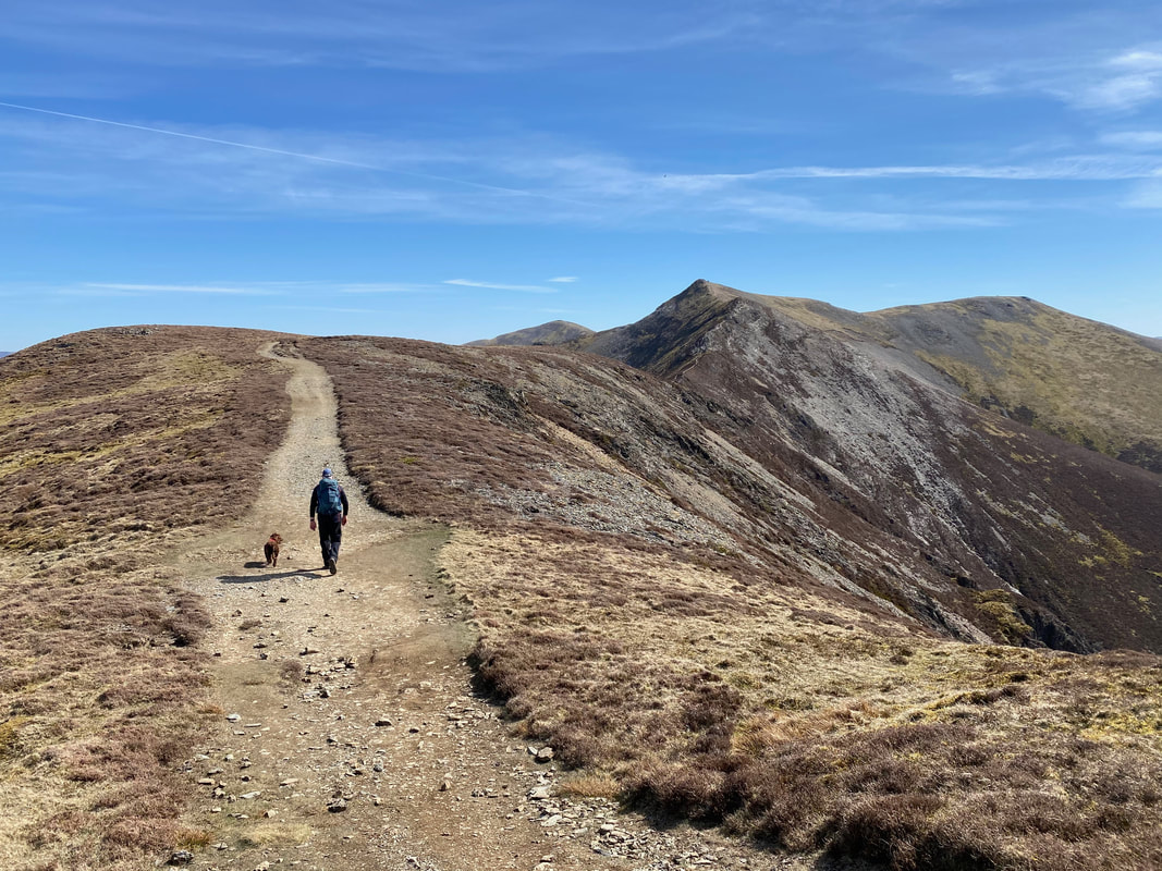
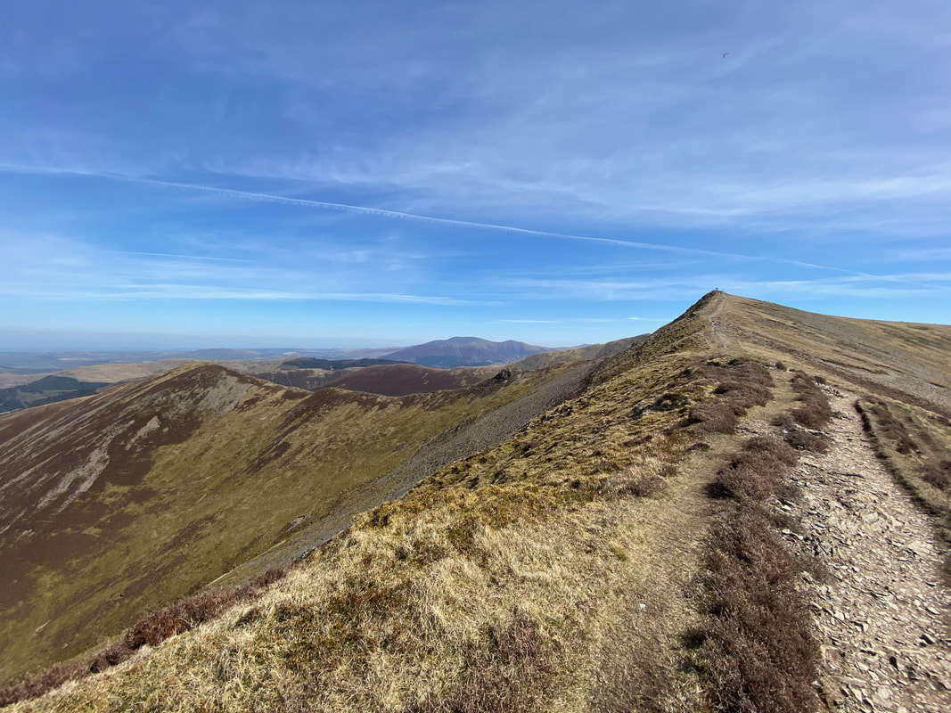
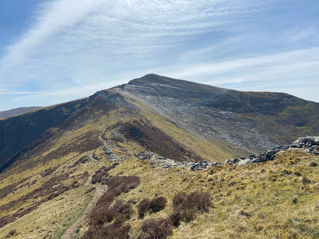
Whiteside's glorious ridge looking to Hopegill Head - it is an absolute classic and we love walking along it
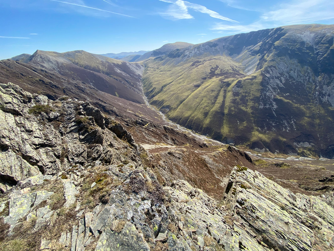
Gasgale Gill with Coledale Hause centre
Days on the mountains don't get much better than this
Photography over for a while it was now time to transit along the ridge
Standing above Gasgale Crags as we continue along the ridge
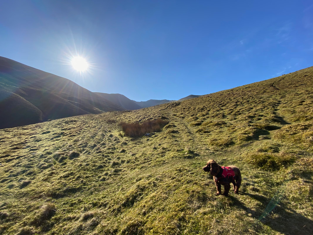
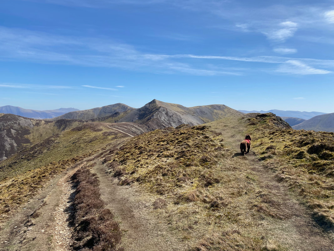
Fudge contemplates his next move with Hopegill Head centre of shot
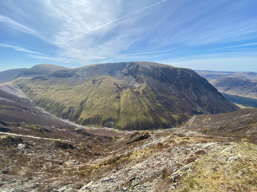
Another view of Grasmoor with Gasgale Gill below
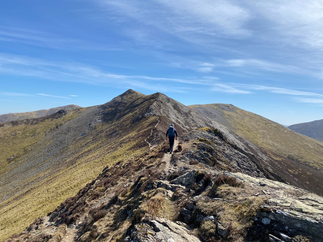
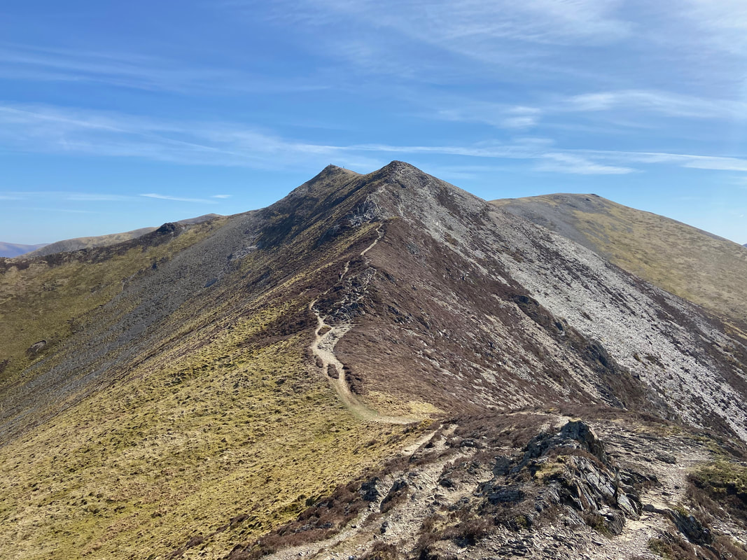
The ridge that just keeps on giving - just look at that.
It may look "knife edge" from either end but there is no technical difficulty in normal conditions such as we had today. In snow and ice the transit over in either direction is a totally different proposition.
With the easy section over with, it was now time to enjoy the rougher sections of the ridge
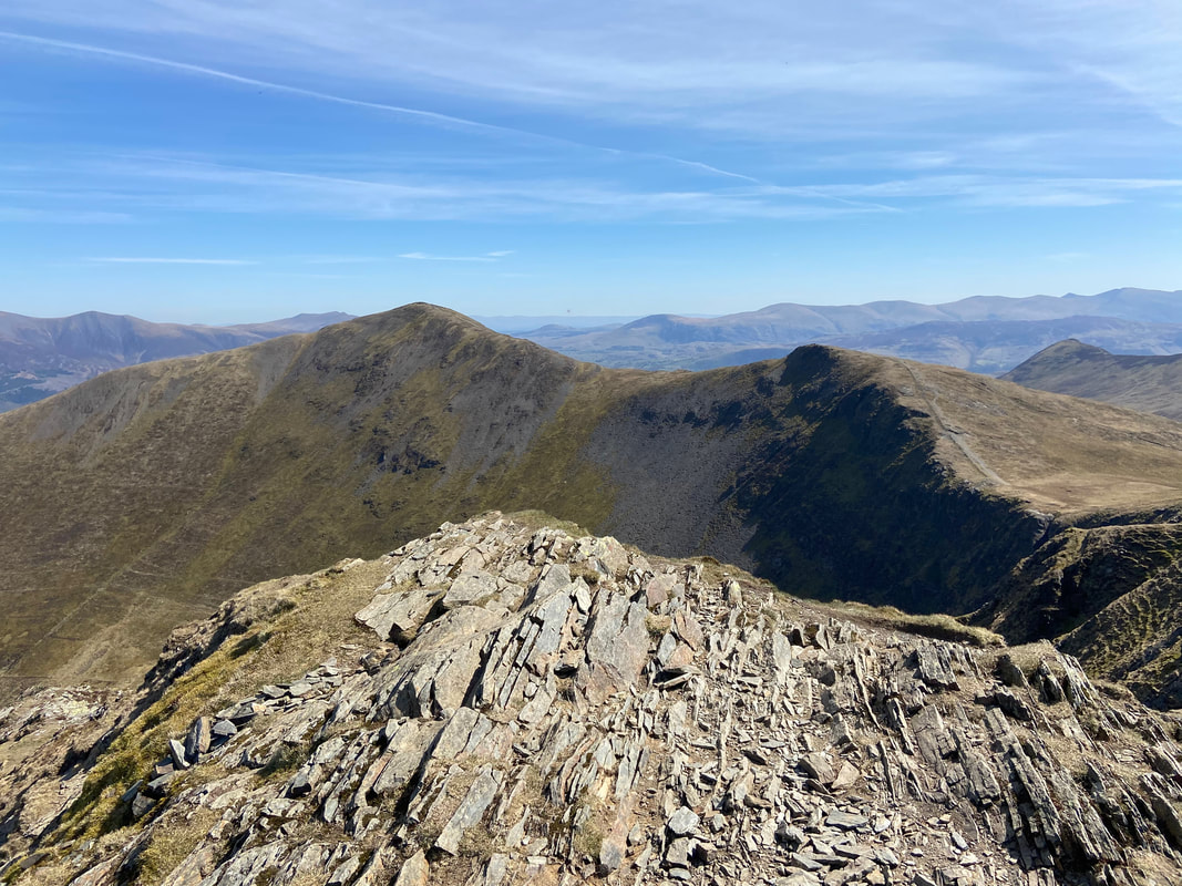
Hopegill Head centre with the ridge to Ladyside Pike to the left & Sand Hill to the right
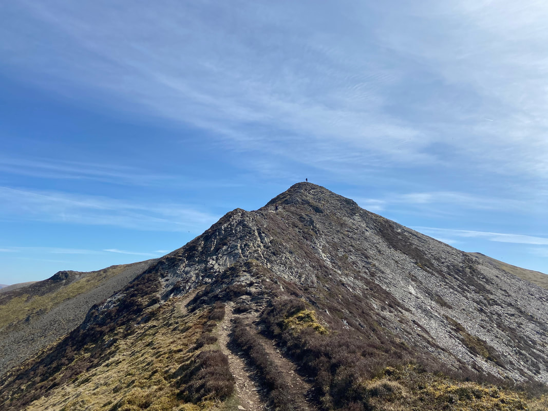
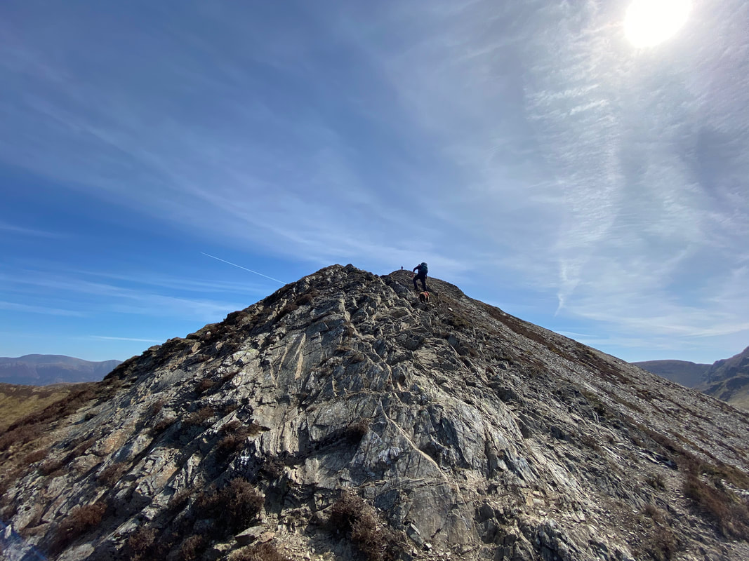
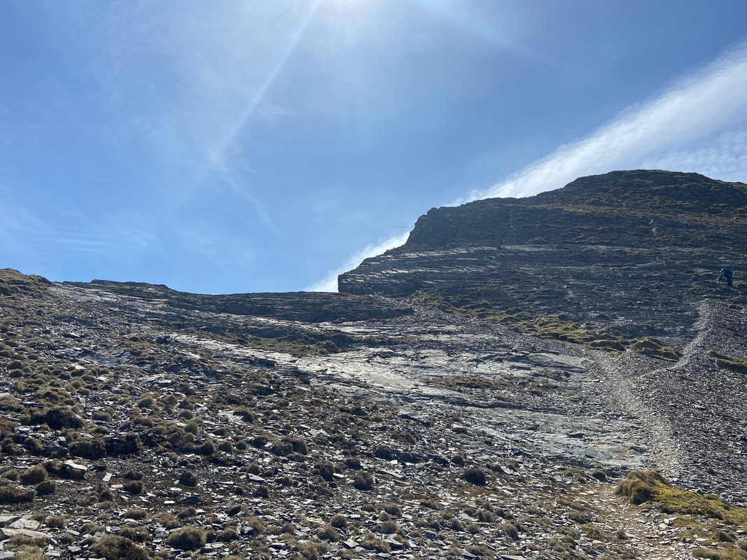
Whilst the scramble directly ahead looks precarious it is easily climbed - just take your time.
Our route over to Ladyside Pike from just below Hopegill Head
The rougher of the two final sections to Hopegill Head - plenty of footholds here.
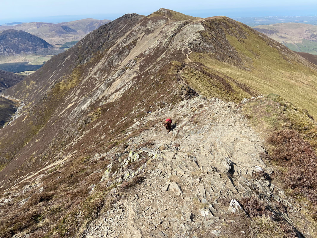
Looking back along the ridge to Whiteside - Fudge as usual is thoroughly enjoying himself.
The final approach to Hopegill Head with Ladyside Pike to the left
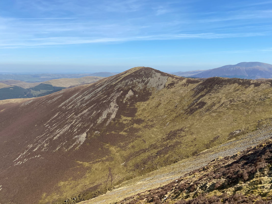
Sand Hill, Eel Crag, Crag Hill & Wandope above Coledale Hause
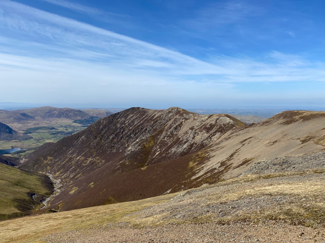
Ladyside Pike & Swinside from Hopegill Head. This would be our return route once we had summitted Hopegill Head and had a quick wander over to Sand Hill. The path can be accessed from two places as can be seen by the junction below. Either head back towards Whiteside or descend directly from Hopegill Head's summit.
The summit of Hopegill Head looking to Grisedale Pike & Hobcarton Crag
Grasmoor from Hopegill Head
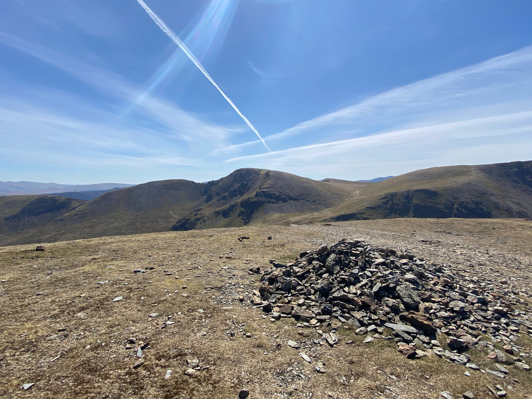
The summit of Sand Hill
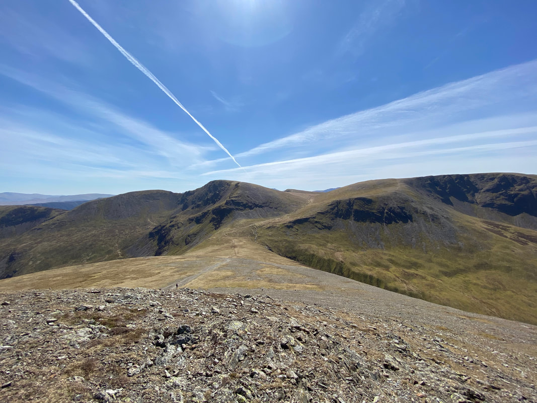
The ridge to Whiteside from Sand Hill
Coledale Hause from Sand Hill
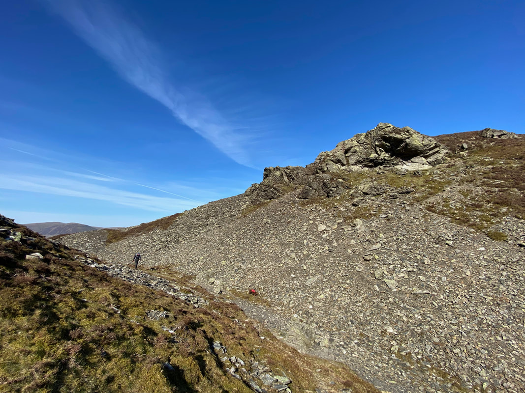
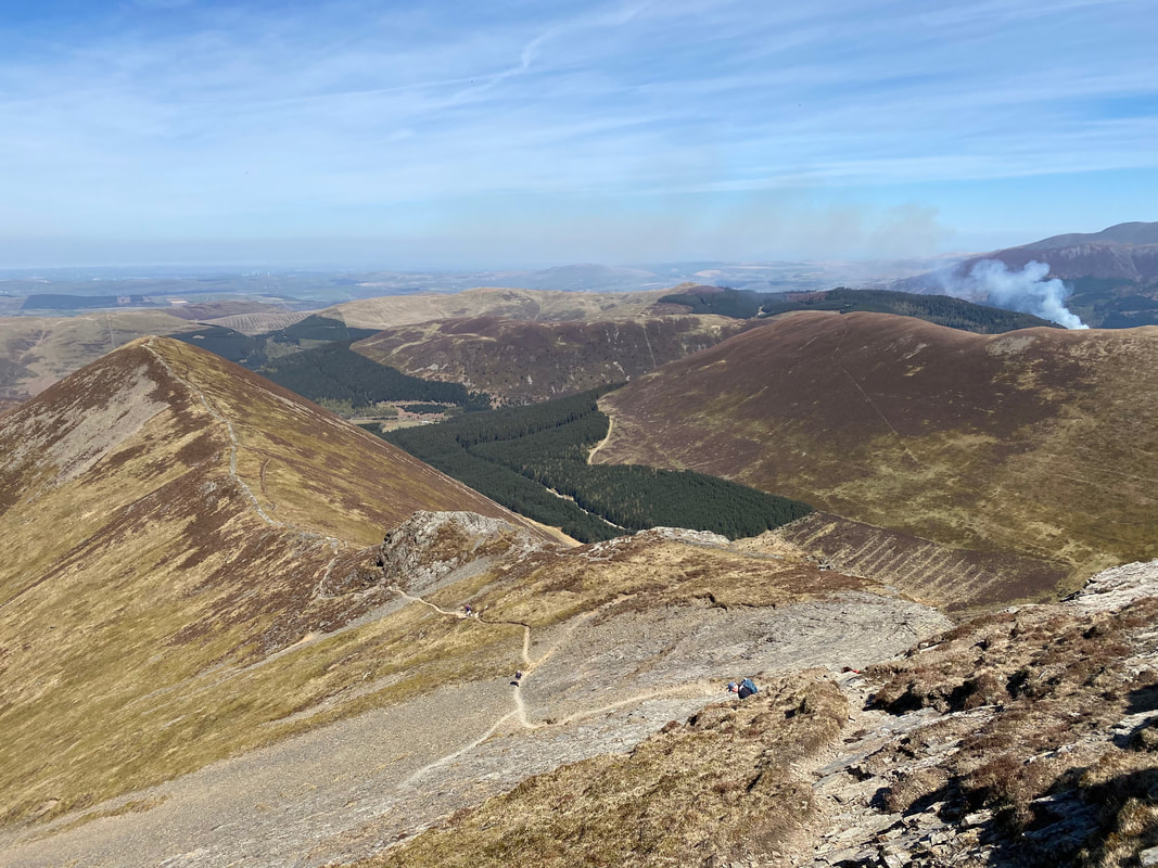
We chose to descend from Hopegill Head over to Ladyside Pike direct from the summit. The path down is steep therefore care needs to be taken even in the benign conditions we had today.
Looking back up at our descent from Hopegill Head
Hopegill Head from Ladyside Pike. If you are ever up on Hopegill Head then a quick out and back over to Ladyside Pike is well worth it.
The summit of Ladyside Pike
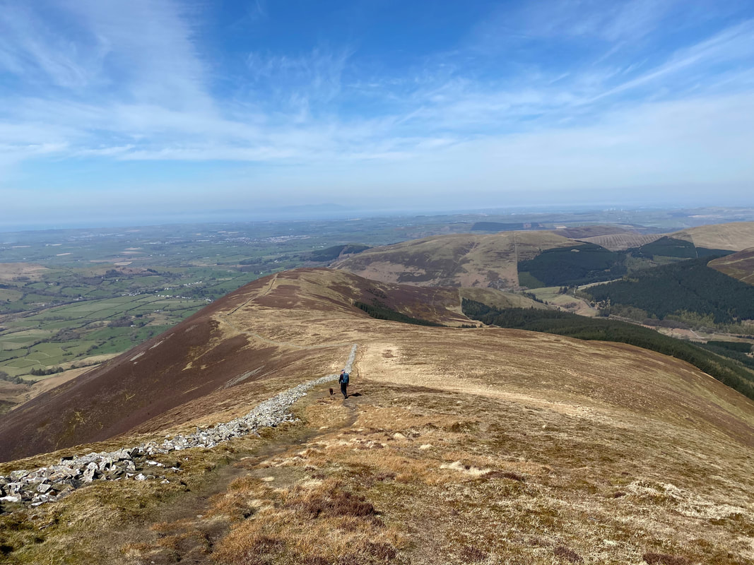
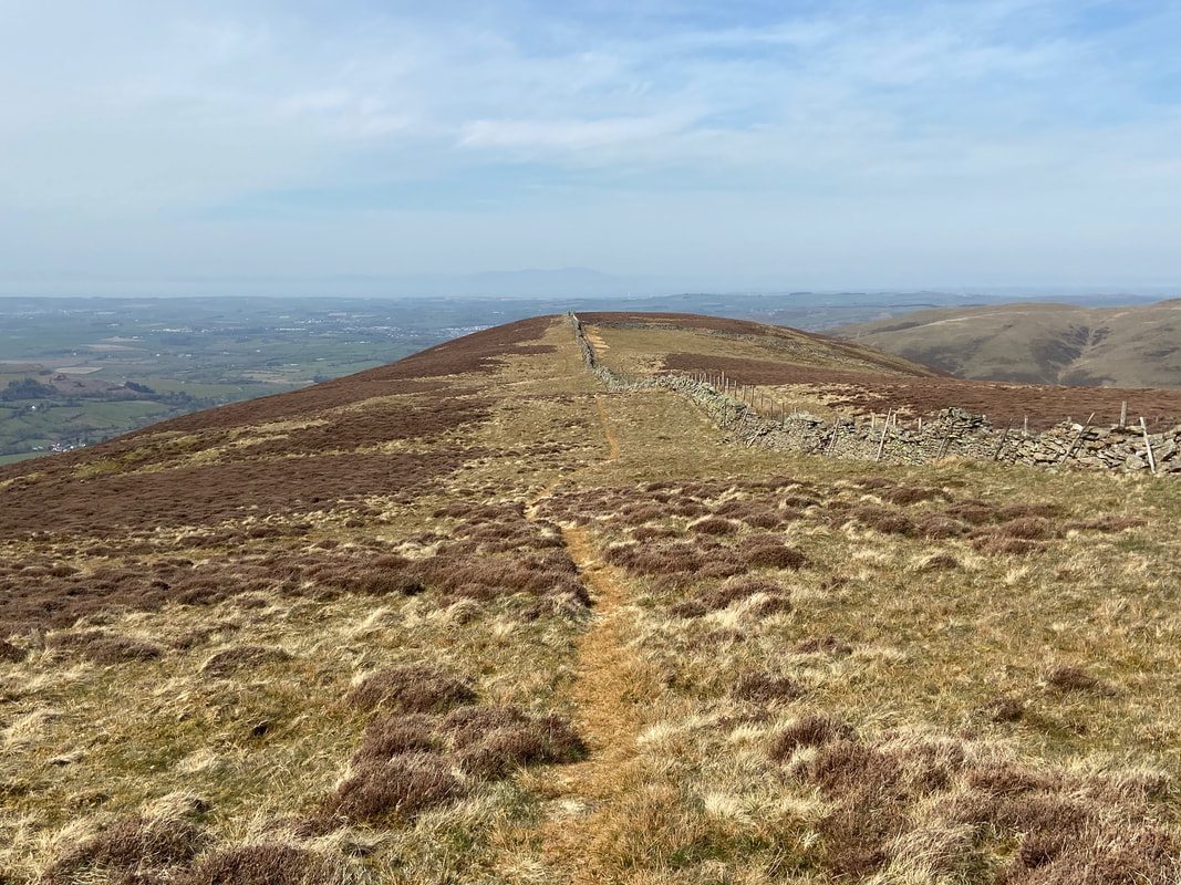
Heading for Swinside
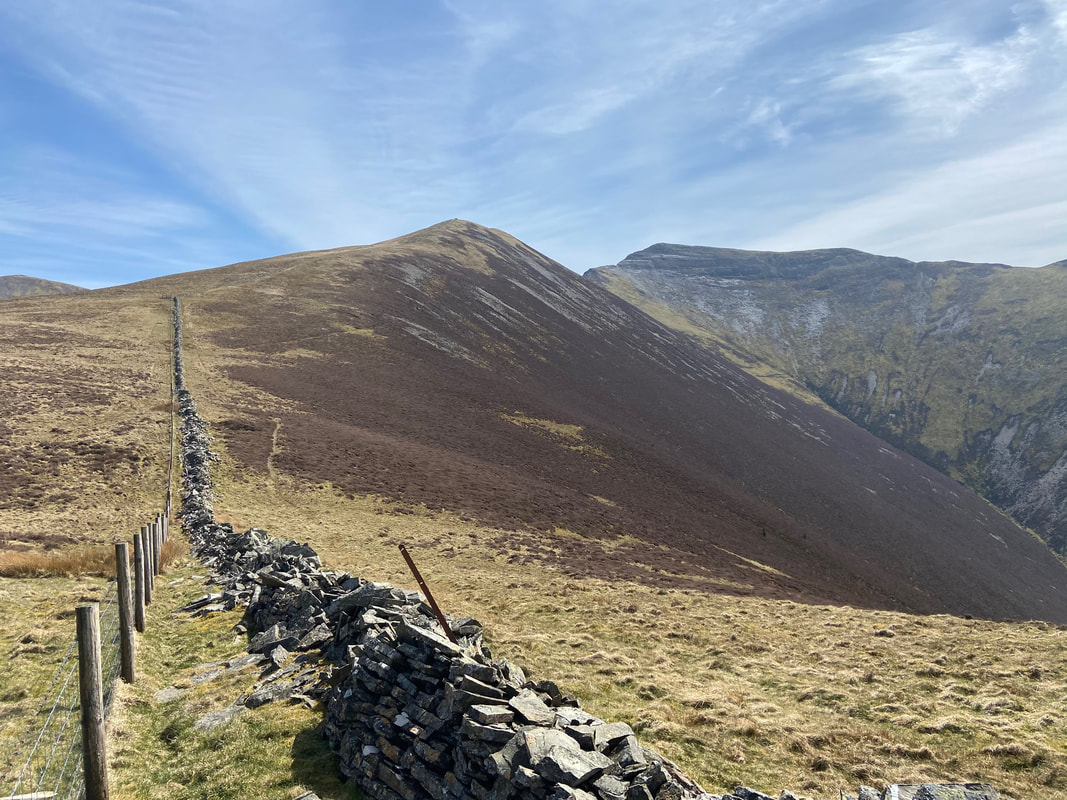
Ladyside Pike & Hopegill Head from just below Swinside
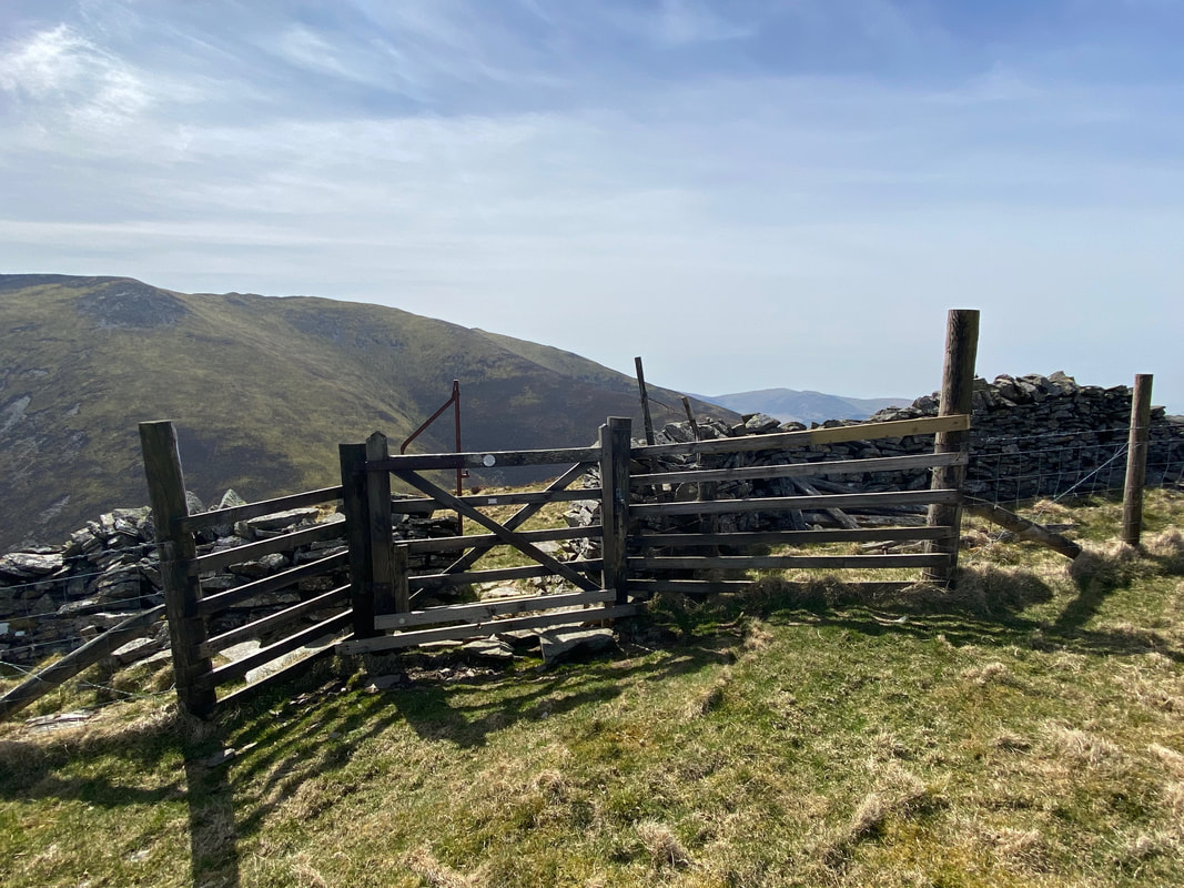
The route crosses the fence line via this gate just under half a mile south of Swinside's summit
Approaching the summit of Swinside
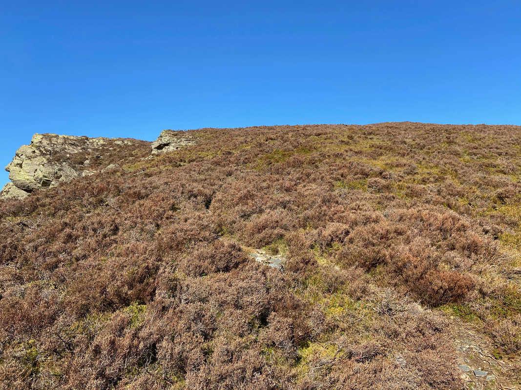
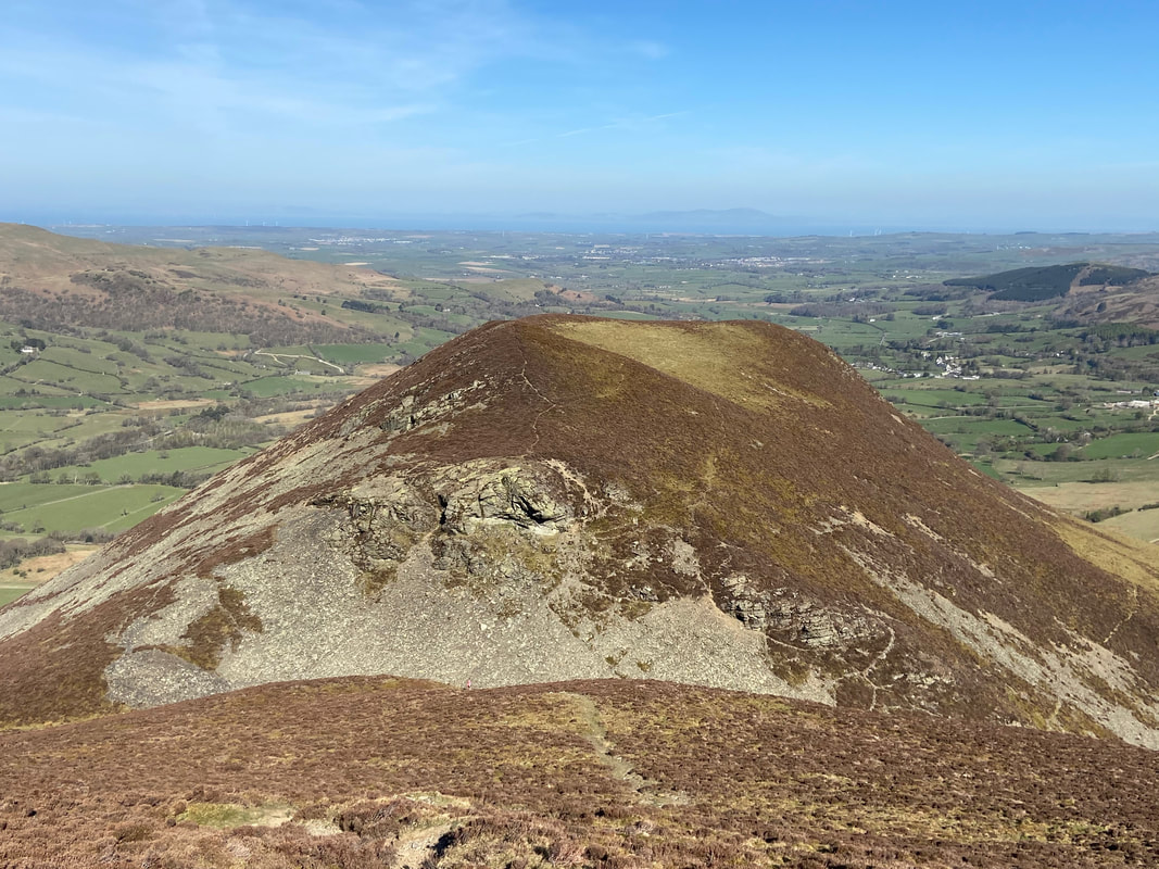
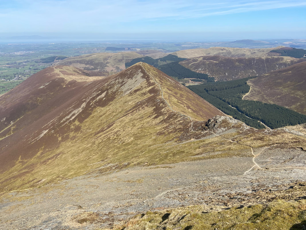
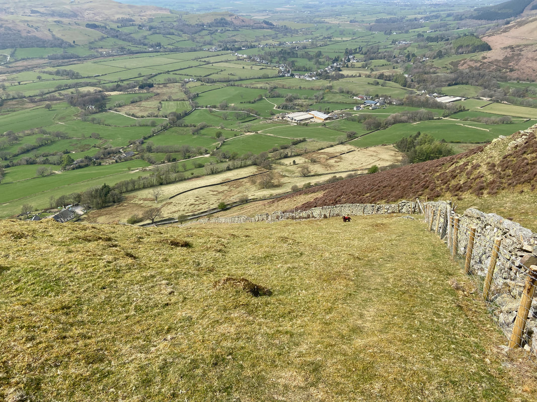
From Swinside the descent back down to the road is extremely steep
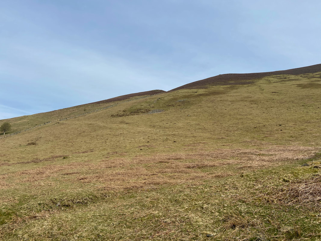
Looking back up at our descent from Swinside - on reaching the road it is about 1/4 of a mile back to the start.
