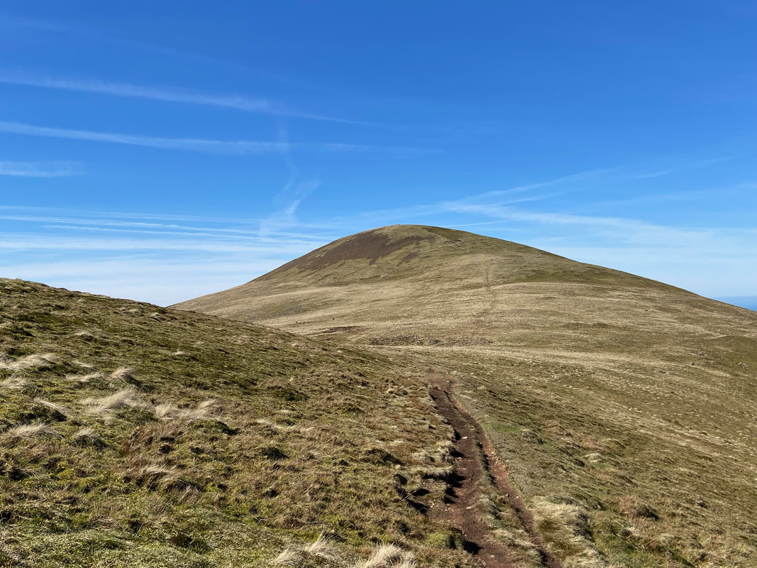
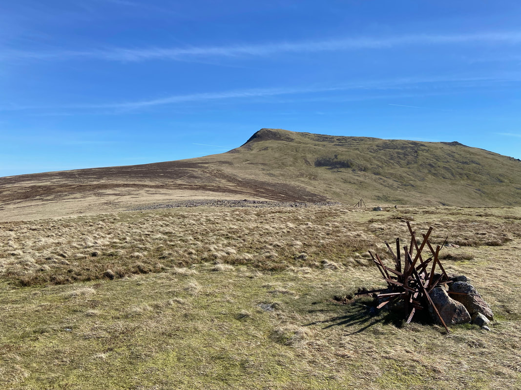
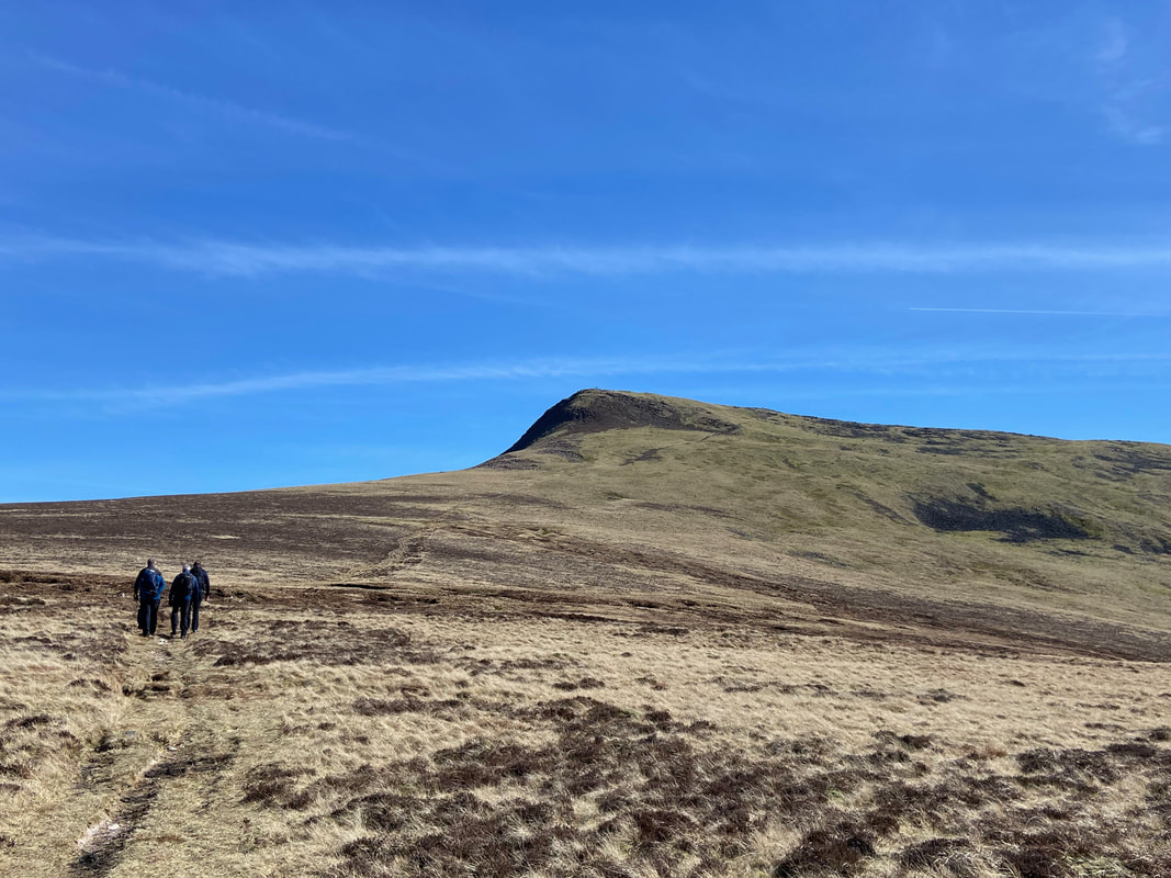
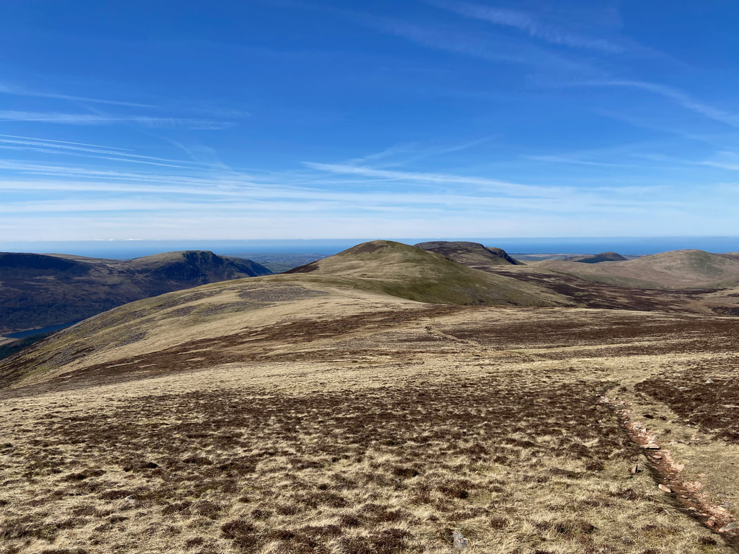
Great Borne, Starling Dodd & Red Pike - Monday 3 April 2023
Route
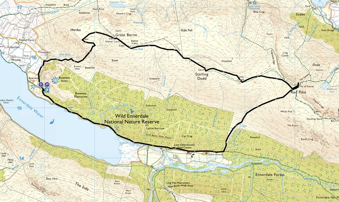
Bowness Knott Car Park - Rake Beck - Herdus - Great Borne - Starling Dodd - Little Dodd - Red Pike - Gillilinter Beck - High Gillerthwaite - Low Gillerthwaite - Char Dub - Bowness Knott Car Park
Parking
Forestry Commission Car Park at Bowness Knott (Charge). The Grid Reference is NY 1094 1541 and the nearest postcode is CA23 3AU.
Mileage
8.9 miles
Terrain
Good mountain paths and forest tracks. The path to Great Borne via Rake Beck is steep and transits up the side of a ravine therefore care needs to be taken.
Weather
Sunny with light breezes. The visibility was excellent.
Time Taken
6hrs
Total Ascent
2791ft (851m)
Wainwrights
3
Map
OL4 The English Lakes (North Western Area)
Walkers
Dave with Malcolm Summers, Peter Moore, Colin Thompson & Tom Scott
|
GPX File
|
| ||
If the above GPX file fails to download or presents itself as an XML file once downloaded then please feel free to contact me and I will send you the GPX file via e-mail.
Route Map
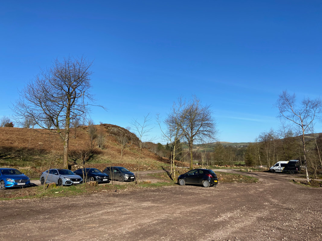
The Forestry Commission Car Park at Bowness Knott. After being free for many years, as of 2023 it now costs £8 for all day parking.
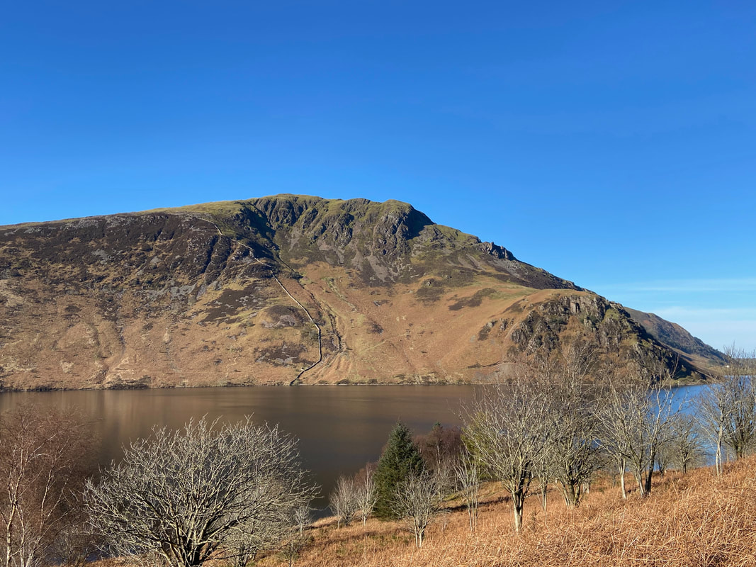
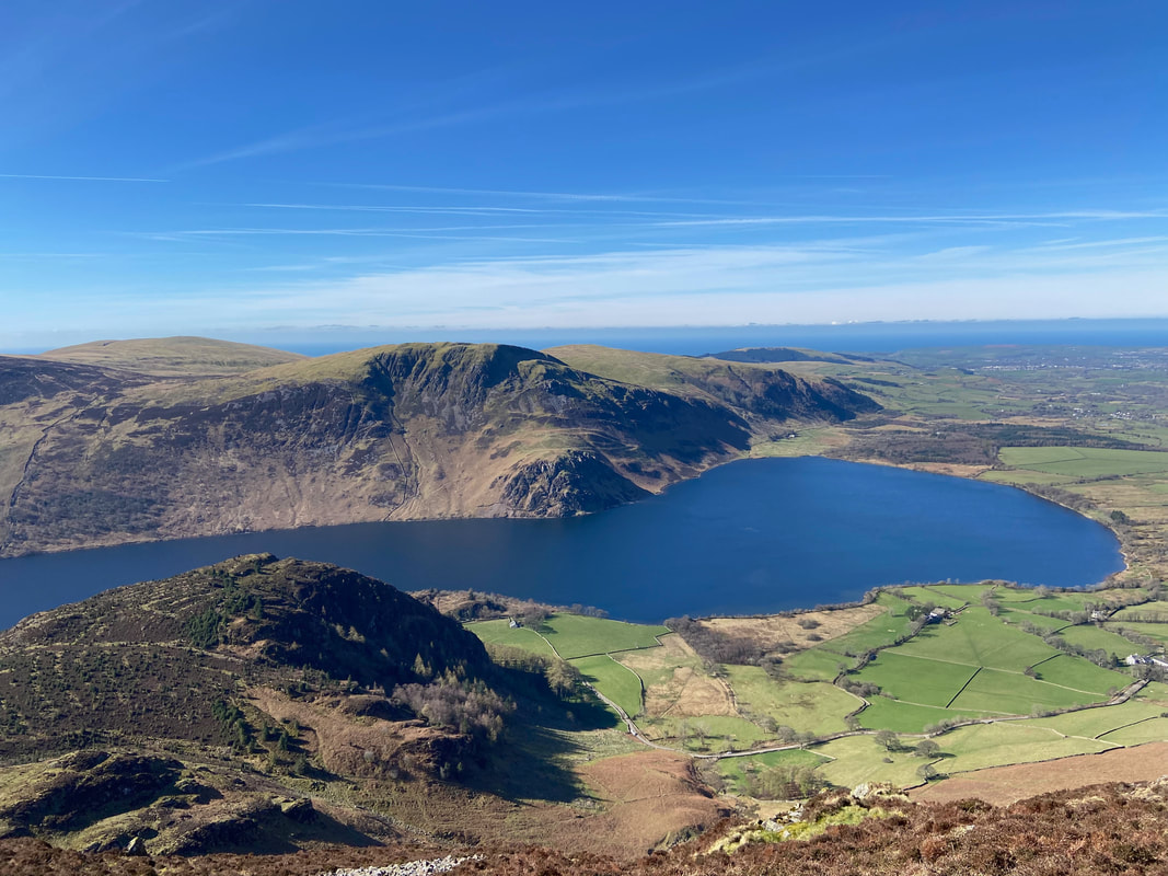
Crag Fell, Revelin Crag, the Pinnacles & Angler's Crag across Ennerdale Water
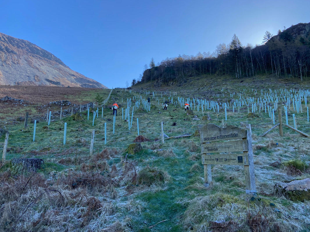
Some new tree planting going on below Bowness Knott
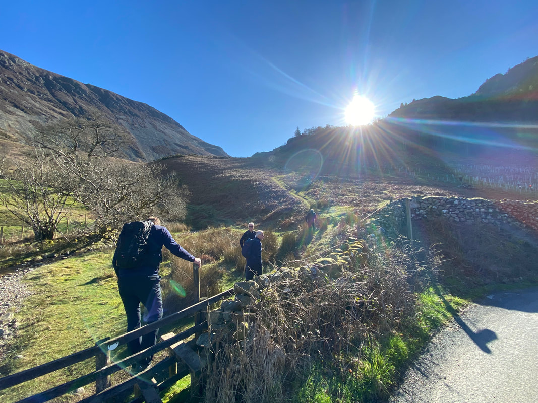
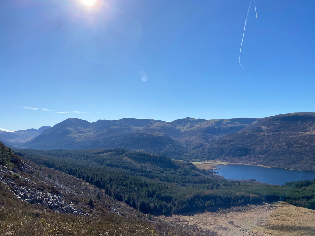
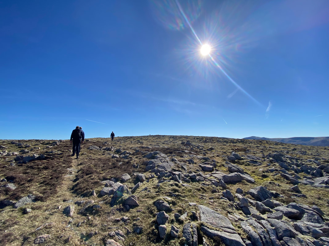
The route heads north along the access road for half a mile or so from Bowness Knott Car Park to reach a stile on the right. With the sun hitting the lens, this was clearly a good omen that we were in for a pleasant day with the weather.
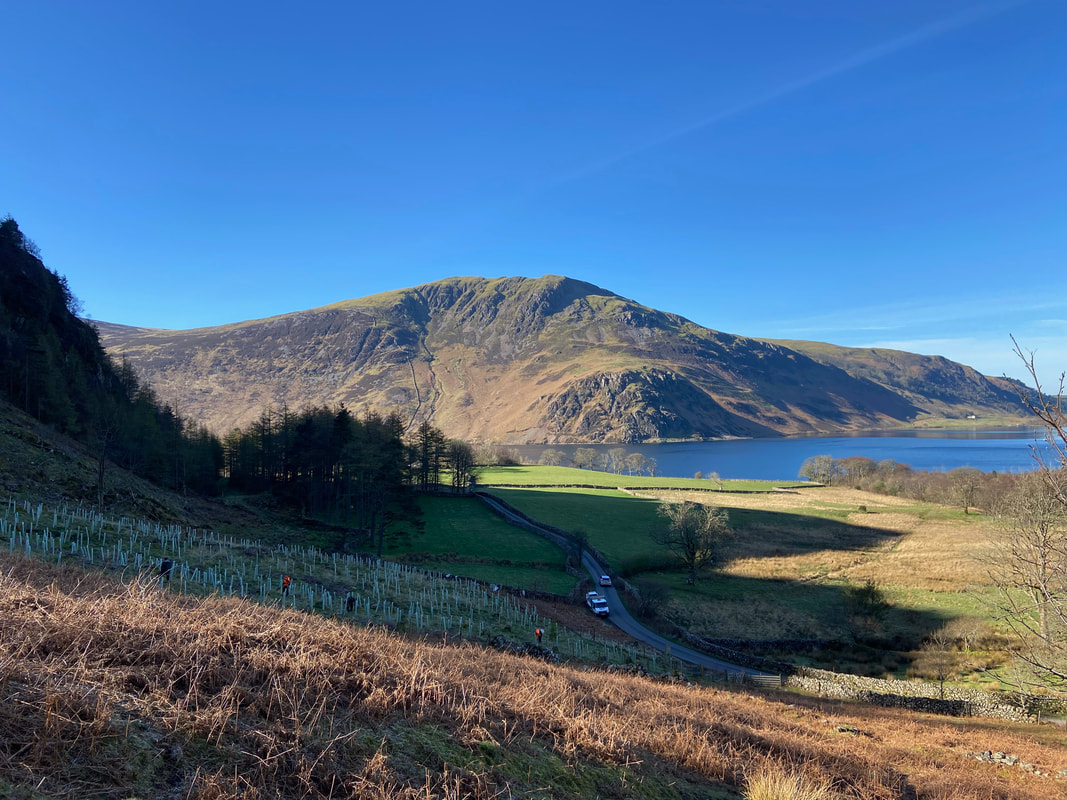
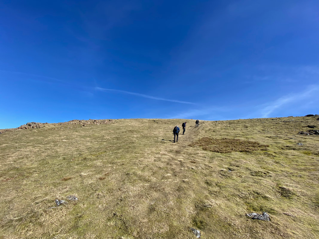
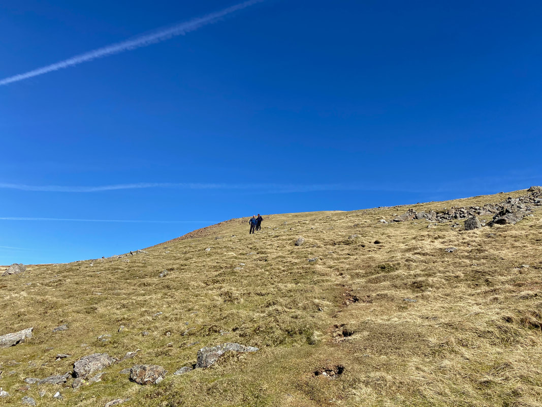
From the stile it is straight into the steep stuff with the advantage being that the views open out immediately. From the sloping fell side we are looking back to the access road and over Ennerdale Water to Crag Fell.
Herdus Scaw
Looking over to Bowness Knott from the Rake Beck path, If time allows, Bowness Knott is worthy of a slight detour as is the nearby summit of Brown How. A walk we did that encompasses these two fells can be found here
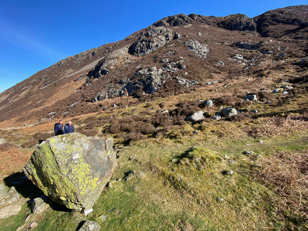
The large boulder at the junction of paths between Brown How and the ascent of Rake Beck
Looking back to Ennerdale Water, Brown How, Bowness Knott & Crag Fell from the start of the ascent up Rake Beck
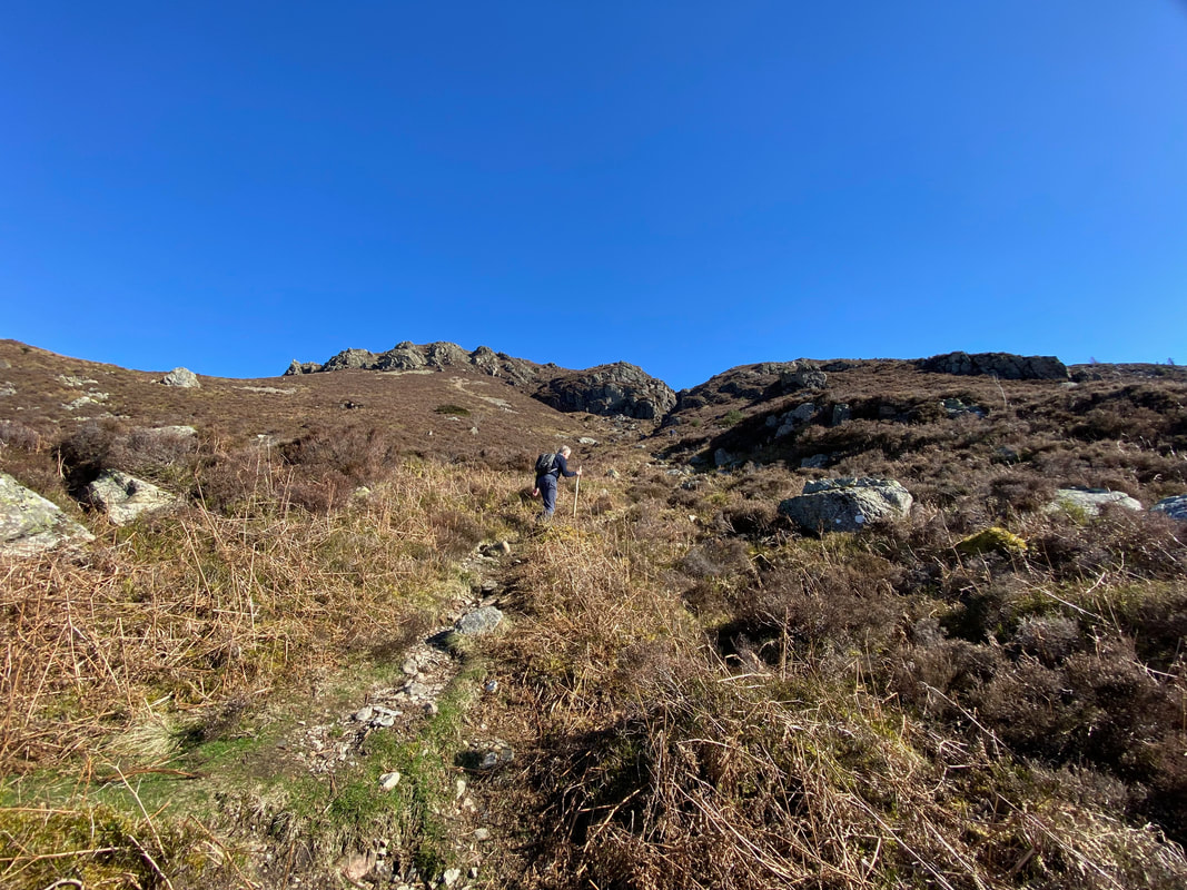
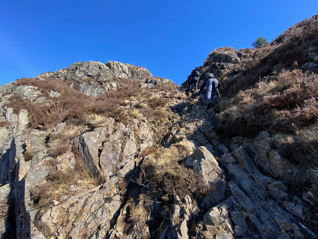
The start of the ascent to Herdus & Great Borne via the Rake Beck path. This is a delightful scramble up the side of a ravine.
Herdus Scaw over to the left as we continue the ascent
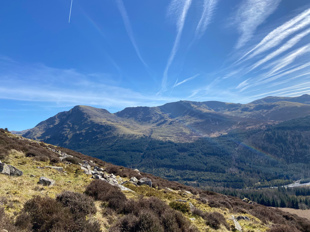
Looking to the eastern end of Ennerdale Water. From left to right are Green Gable, Great Gable, Pillar, Black Crag, Steeple, Scoat Fell, Haycock, Little Gowder Crag, Caw Fell & Iron Crag
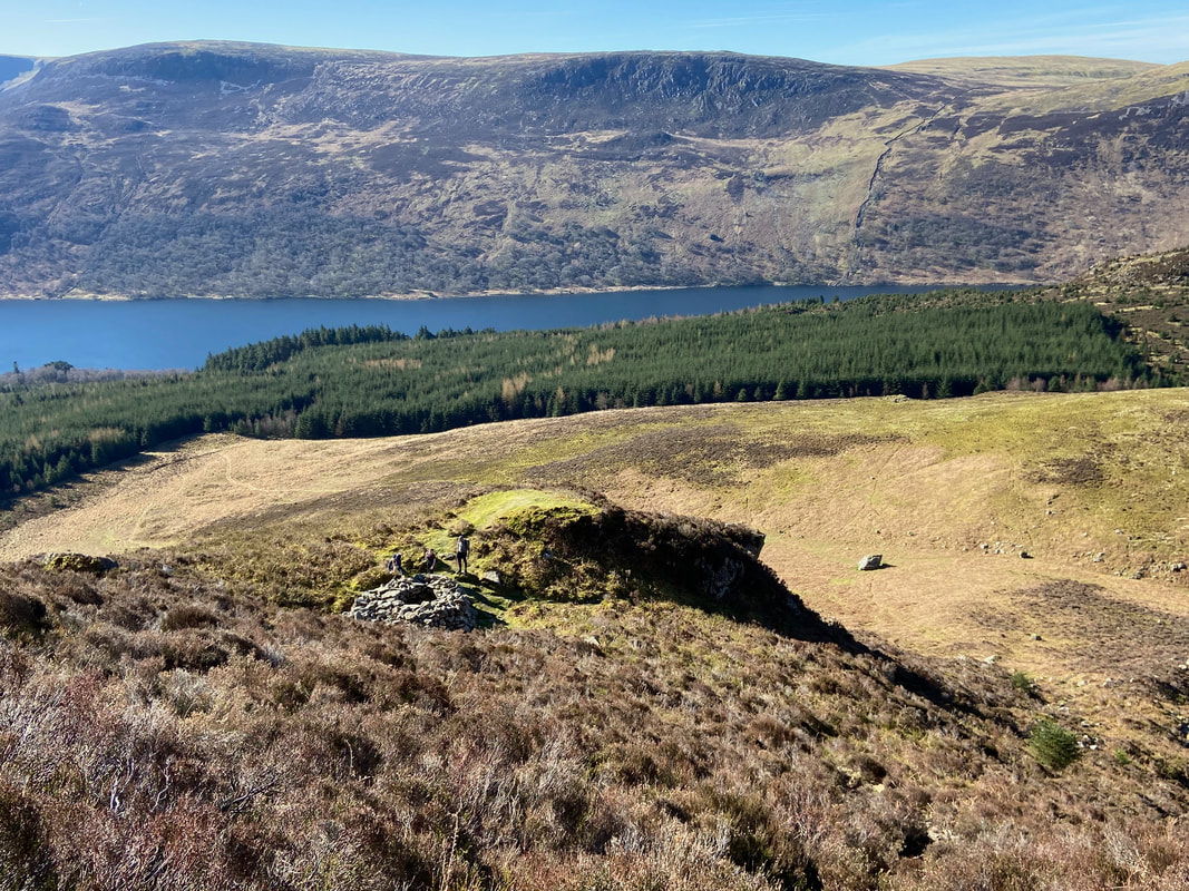
Looking down to the large boulder at the path junction we passed earlier. The round structure below is a Fox Trap or Fox Bield used in days of old by local shepherds. Bait would be suspended over the hole on a piece of wood luring the fox to pursue the food, overbalance and fall in. The deep hole and steep sided walls made it impossible for the fox to escape.
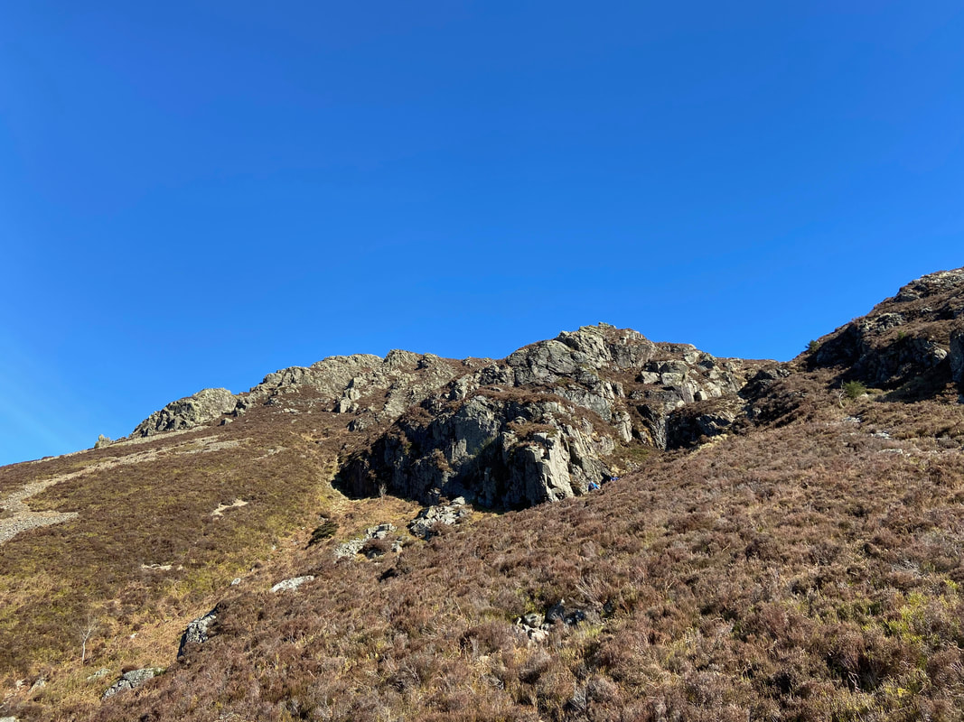
Above the fox trap the going becomes much steeper and more scrambly necessitating the use of a bit of "hands on rock"
Rake Beck (Click Play to view)
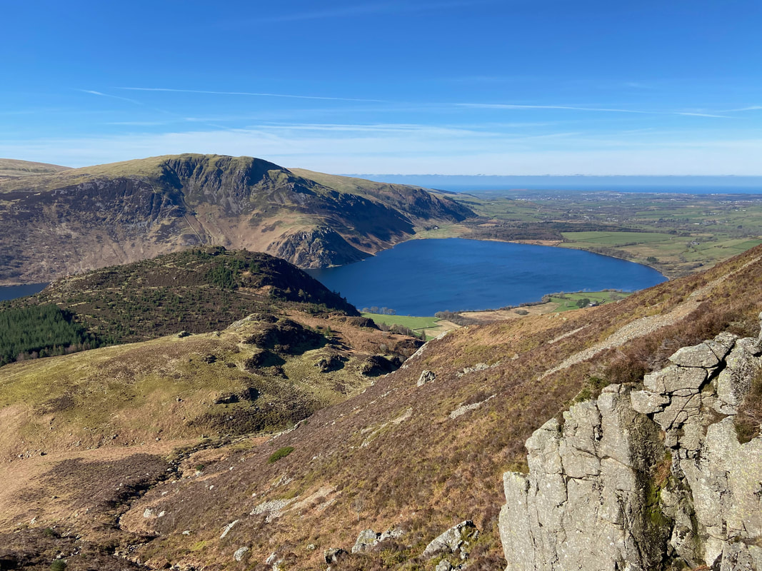
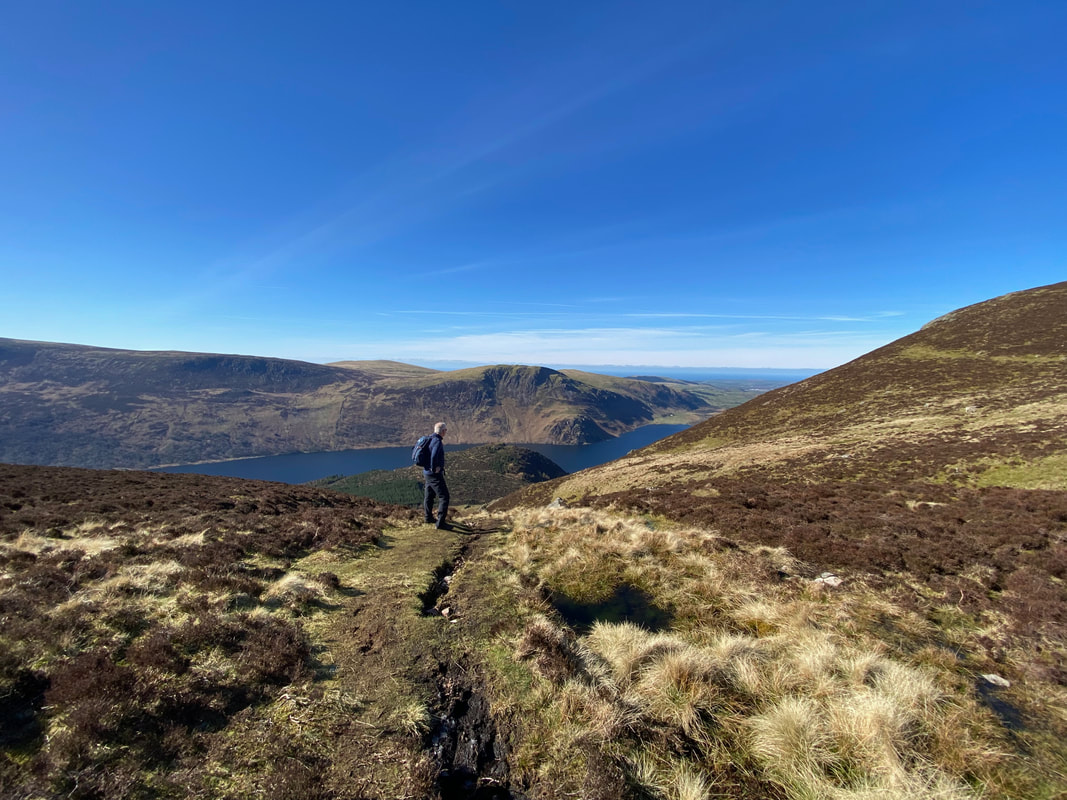
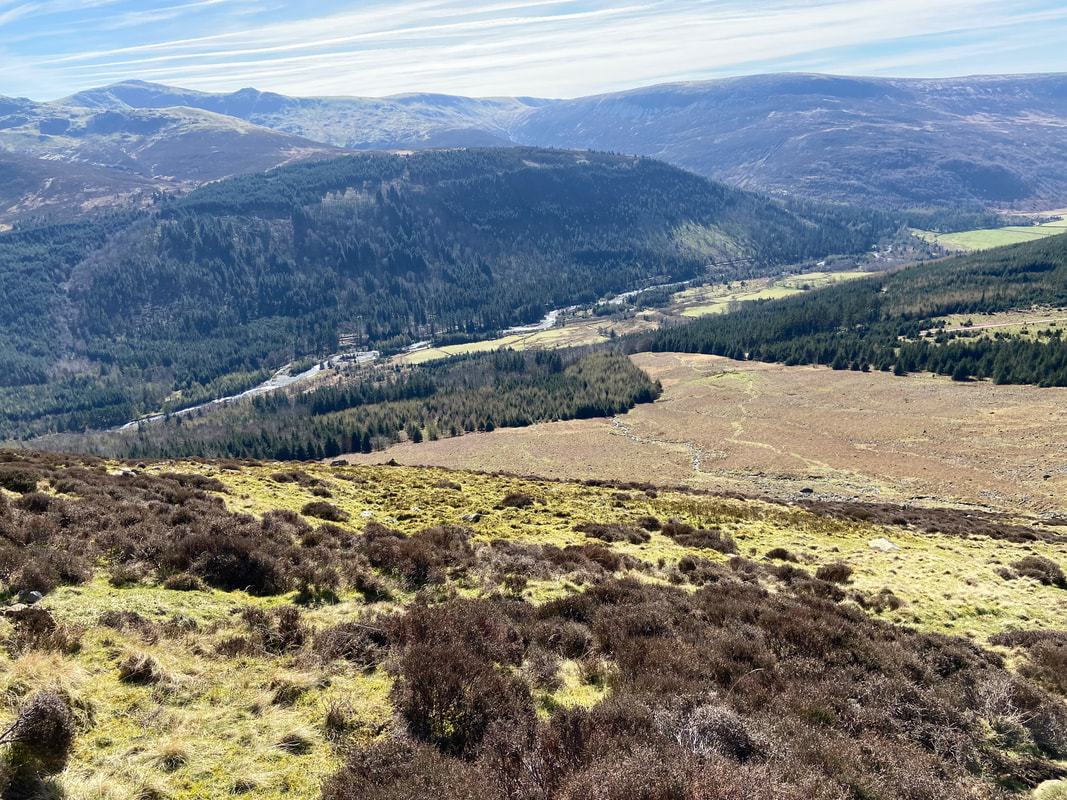
As height is gained so the views over Ennerdale Water just get better & better - particularly on a beautiful day like today
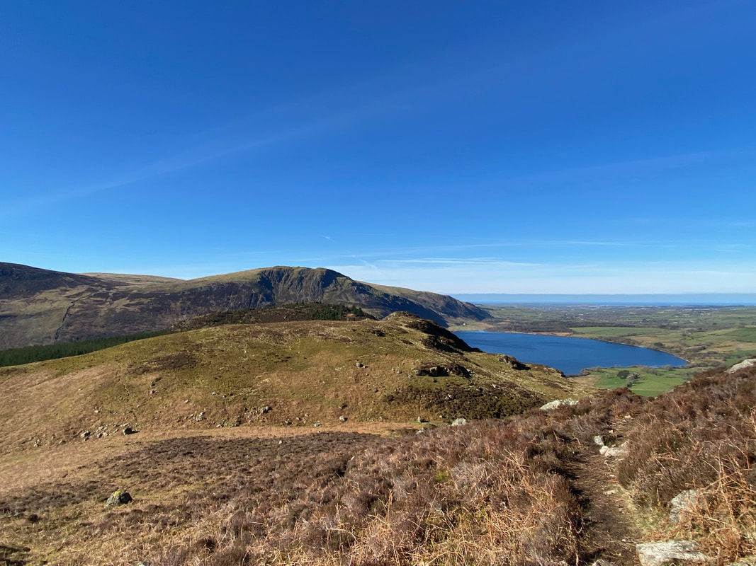
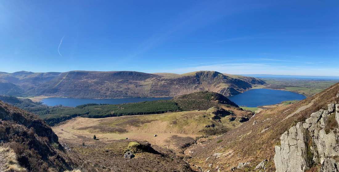
A panorama over Ennerdale Water from Rake Beck
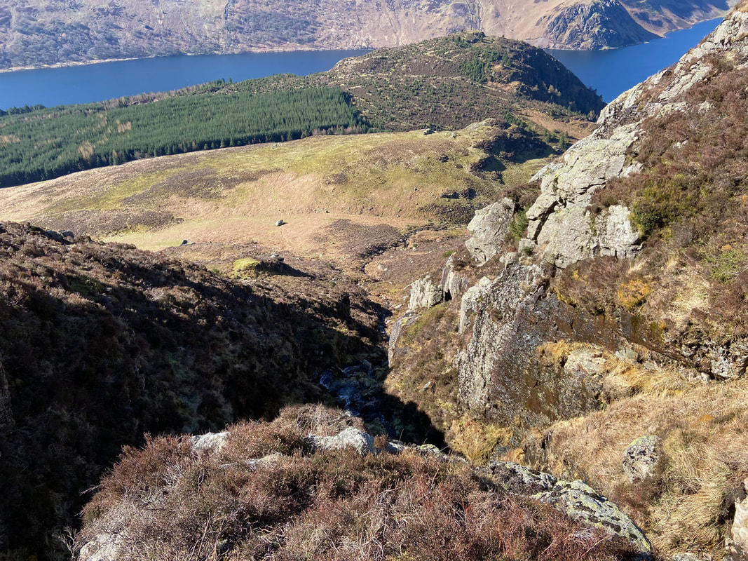
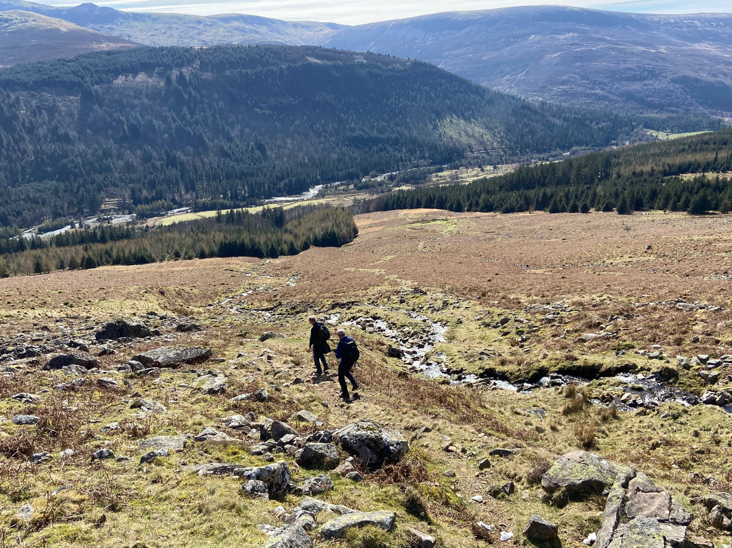
Looking down the ravine of Rake Beck
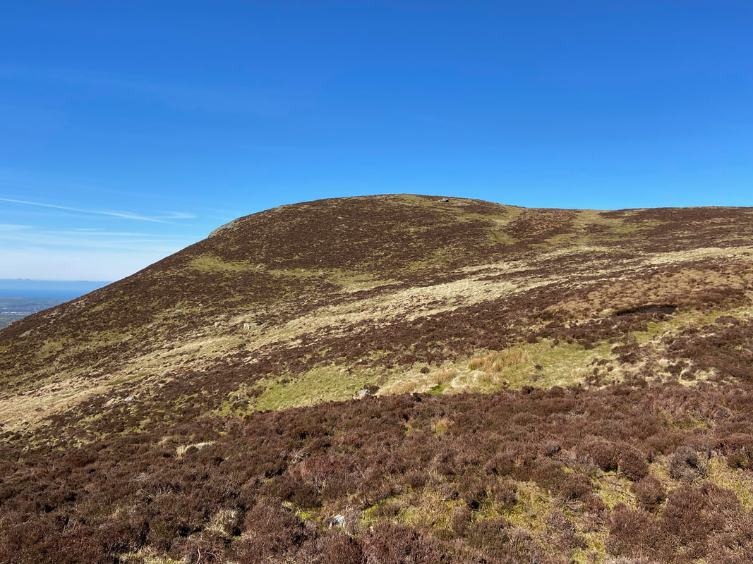
At the top of Rake Beck the summit of Herdus is now in view. It is my guess that most people don't give this fell a second thought and instead head straight over to Great Borne - it is certainly worth a visit.
Malcolm strikes his bestest catalogue pose at the top of the Rake Beck path
The glorious vista from the top of the Rake Beck path - Grike is now in view over to the left
Blake Fell, Gavel Fell & Carling Knott from Herdus
The summit of Herdus
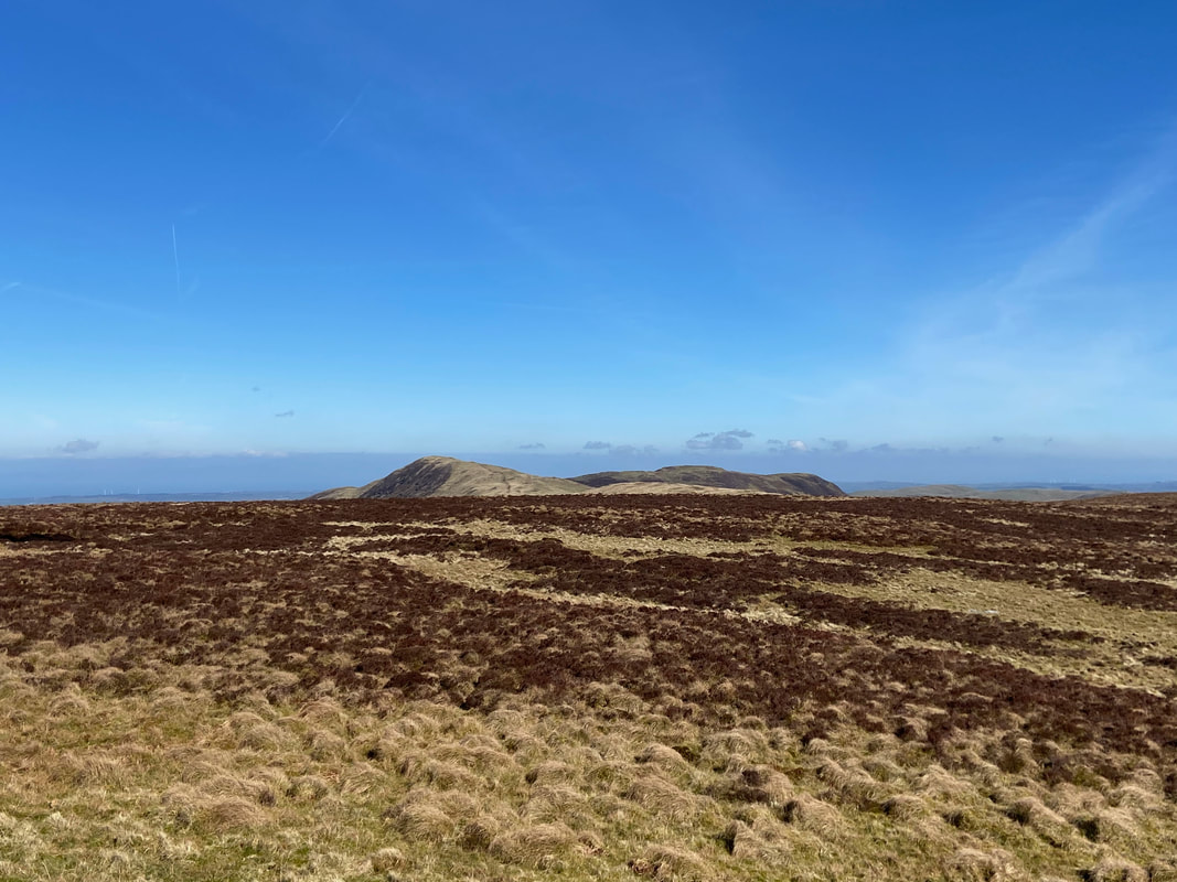
From Herdus a rough path sweeps over to the left to eventually turn right to reach Great Borne
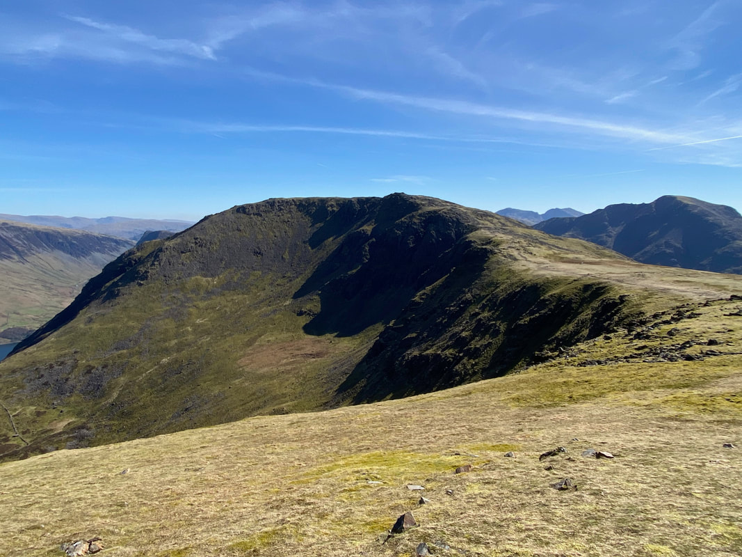
Looking back to Herdus from the ascent of Great Borne
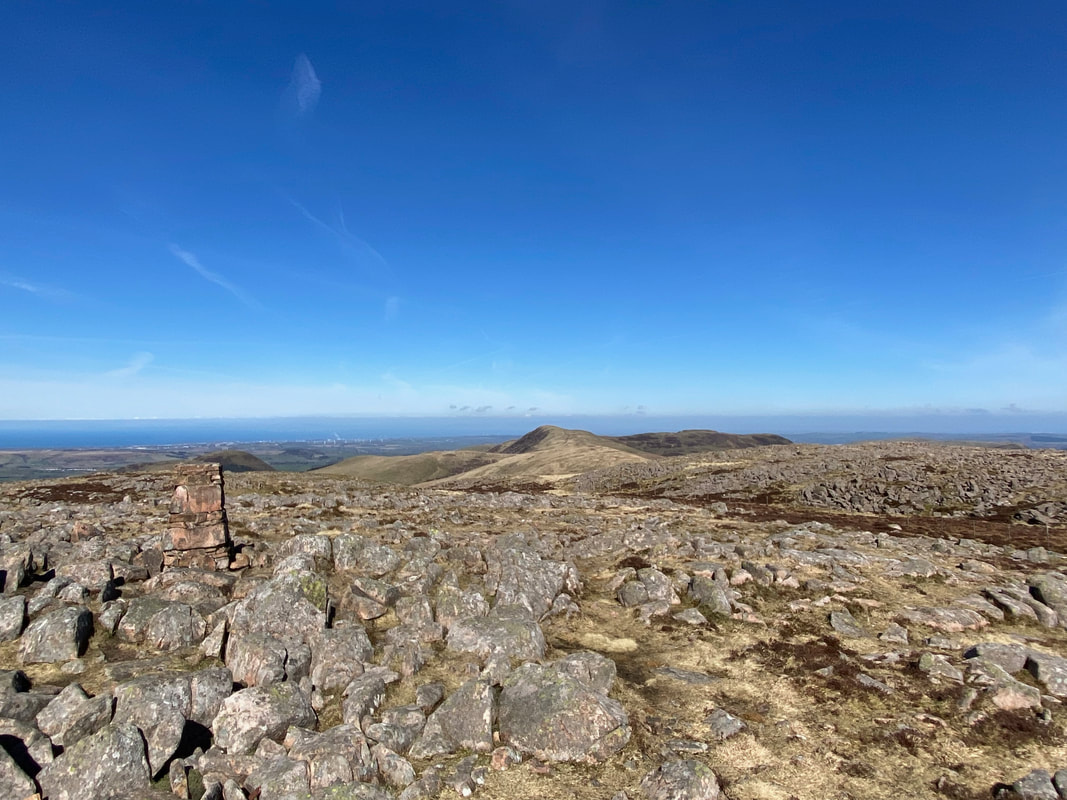
Heading for Great Borne with the summit Trig Point just about in view
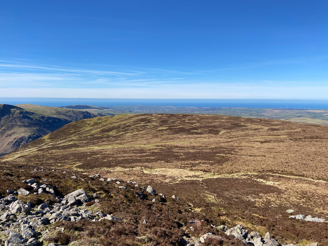
The view to the north from the summit of Great Borne
Mellbreak is in the foreground with Whiteside, Hopegill Head, Grasmoor, Crag Hill, Wandope, Thirdgill Head Man, Whiteless Pike, Ard Crags & Knott Rigg with Rannerdale Knotts in the centre right foreground.
Mellbreak is in the foreground with Whiteside, Hopegill Head, Grasmoor, Crag Hill, Wandope, Thirdgill Head Man, Whiteless Pike, Ard Crags & Knott Rigg with Rannerdale Knotts in the centre right foreground.
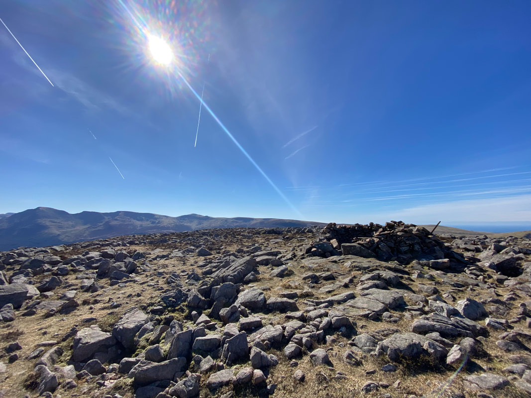
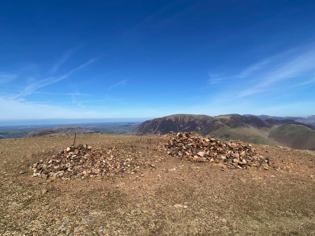
The summit shelter on Great Borne
The Trig Point on the summit of Great Borne
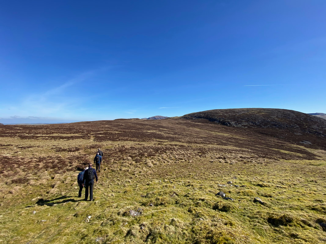
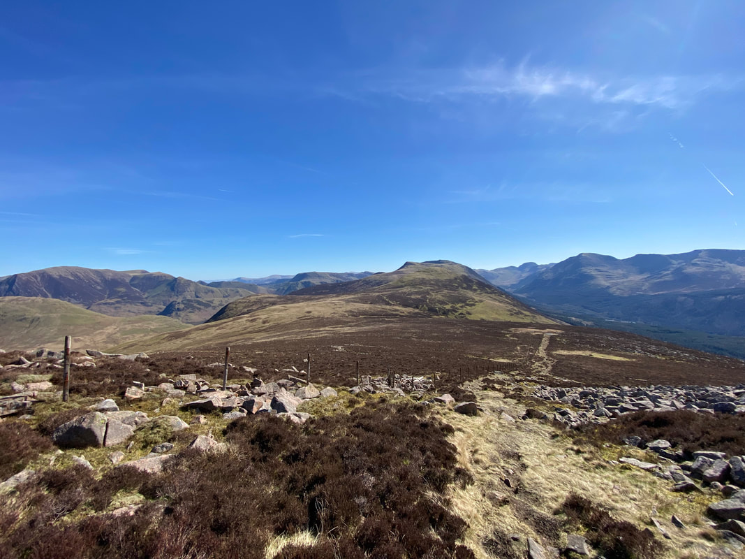
From the summit of Great Borne a fence is followed most of the way to the next summit of Starling Dodd
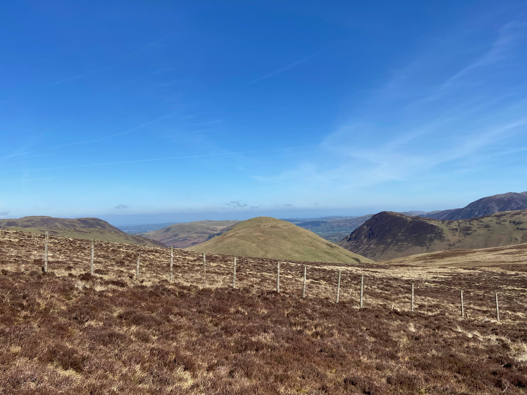
Carling Knott, Hen Comb & Mellbreak from the fence line
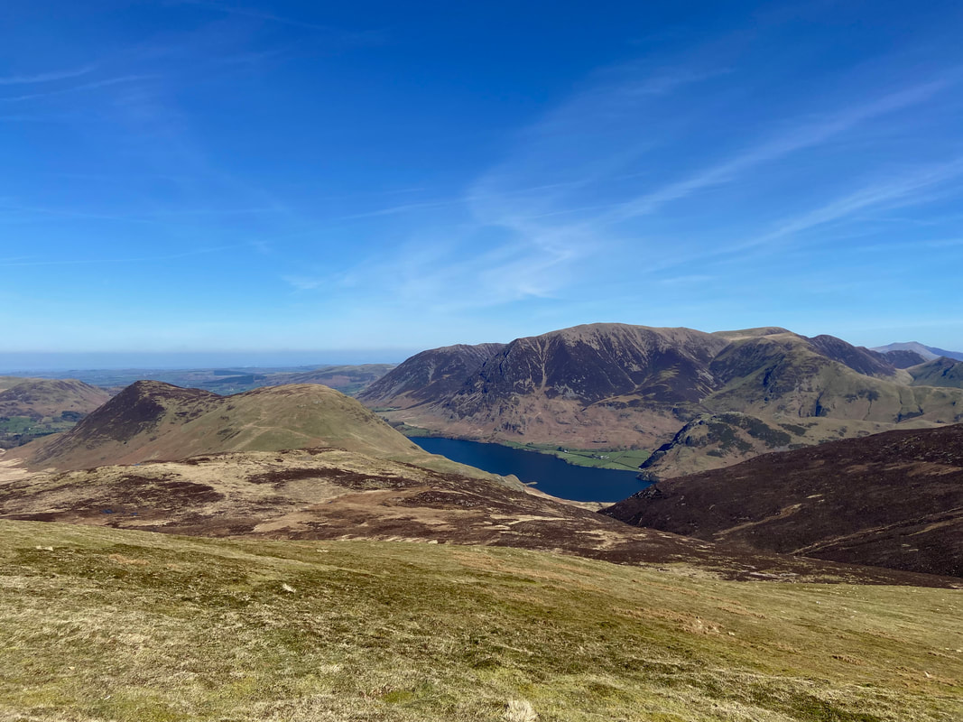
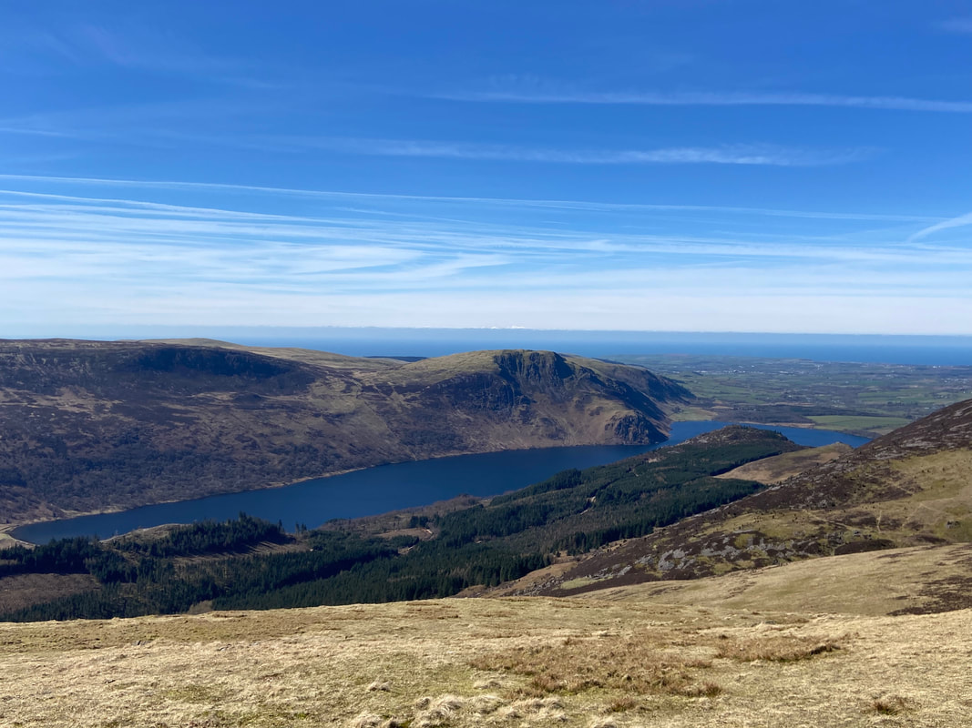
Crummock Water now in view as we approach Starling Dodd
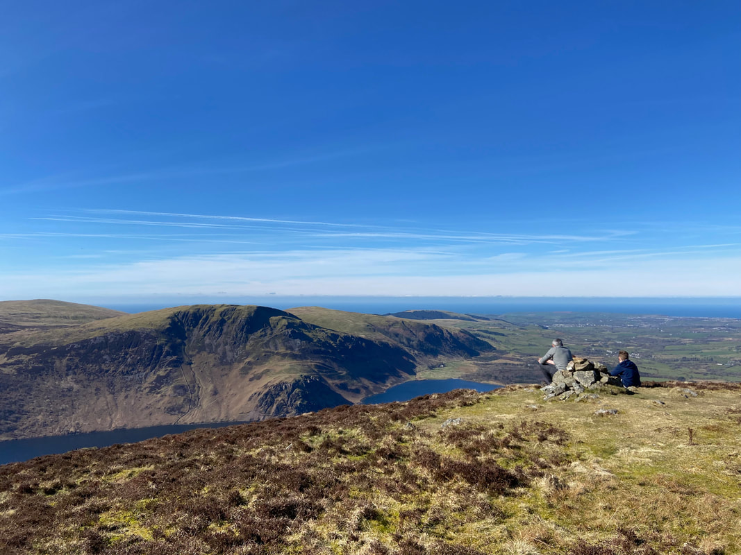
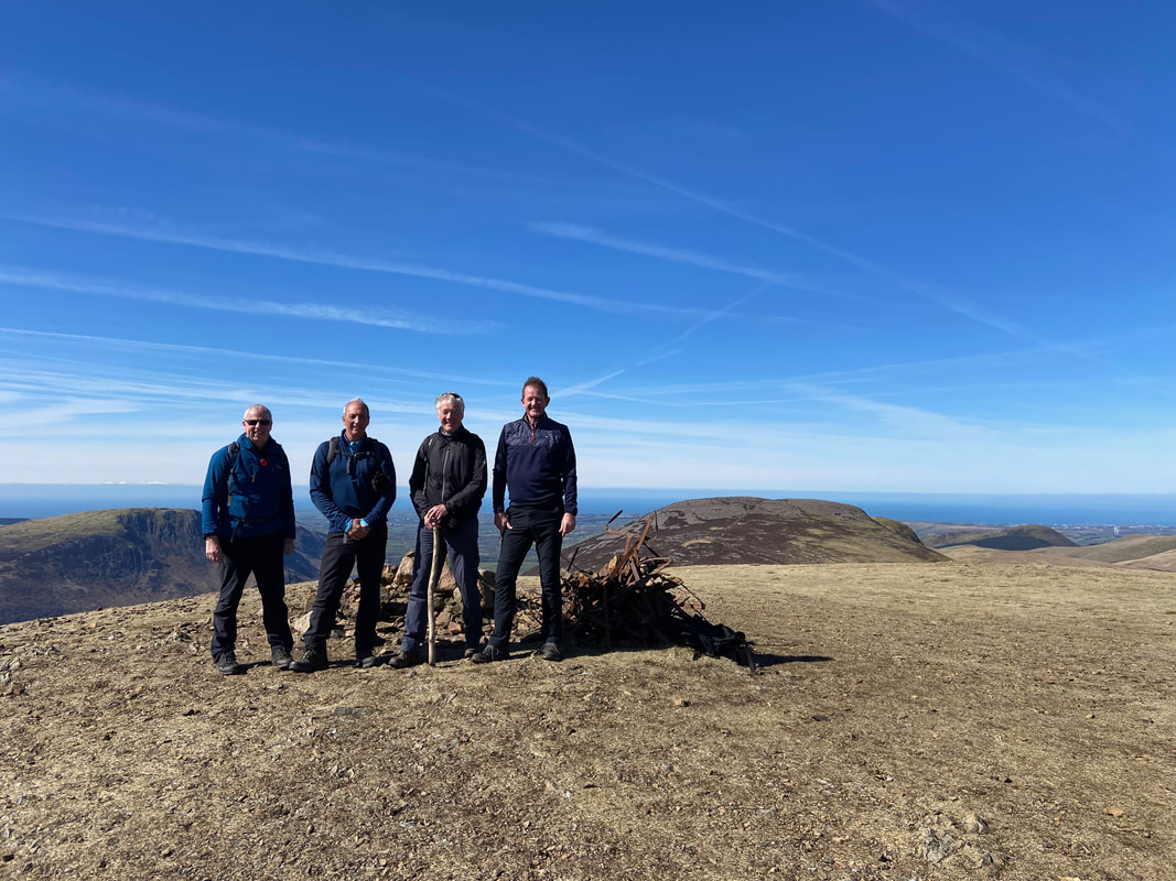
Malcolm, Peter, Colin & Tom on the summit of Starling Dodd
The onward route from Starling Dodd to Little Dodd & Red Pike. Over to the left is Robinson with High Stile in the centre distance and Great Gable over to the far right.
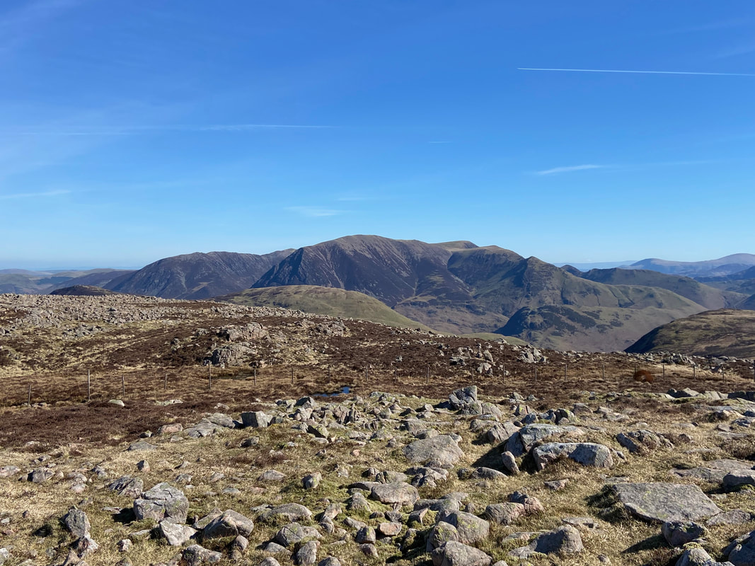
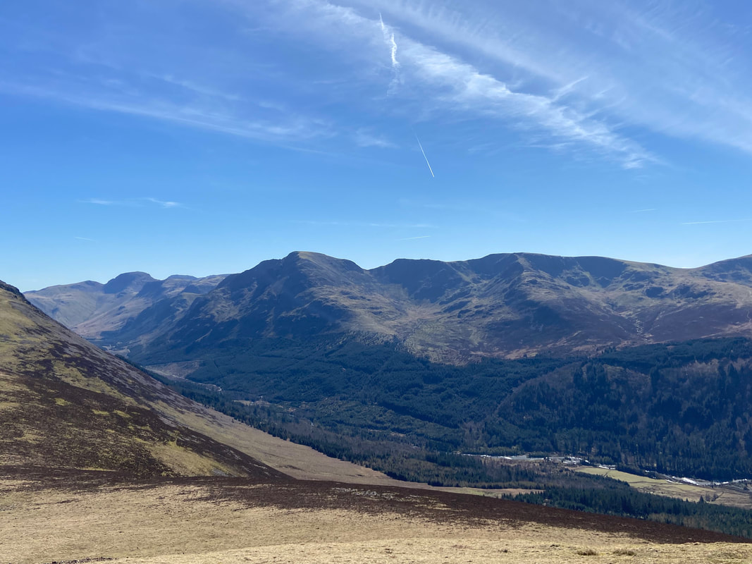
The view looking over Ennerdale to the south east from Starling Dodd - Green Gable, Great Gable, Kirk Fell, Pillar, Black Crag, Steeple & Scoat Fell
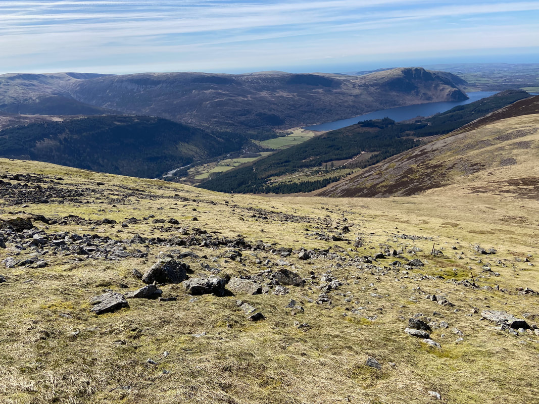
Iron Crag, Grike, Crag Fell & Ennerdale Water from Starling Dodd
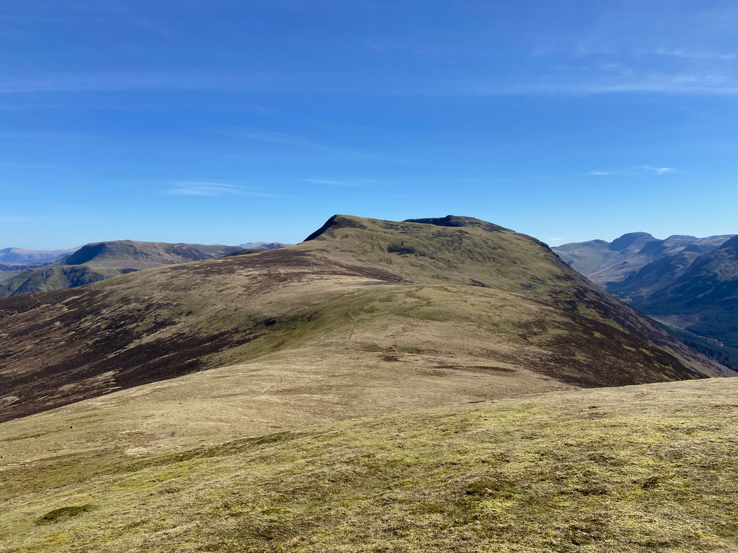
Looking back to Starling Dodd from below Little Dodd
The summit of Little Dodd looking to Red Pike. The path between Starling Dodd and Red Pike passes below Little Dodd therefore it is worth making a short diversion to visit the summit.
Heading to Red Pike from Little Dodd
Looking back to Little Dodd, Starling Dodd & Great Borne from the ascent of Red Pike
The final part of the ascent to Red Pike is steep but on a grassy path
High Stile from the summit of Red Pike
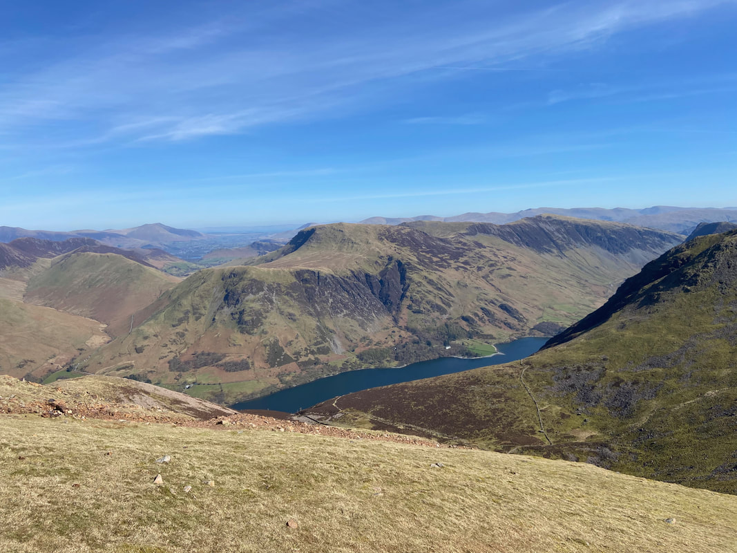
Buttermere below from Red Pike with High Snockrigg and Robinson towering above the lake
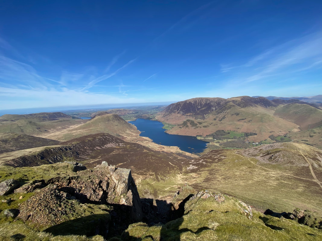
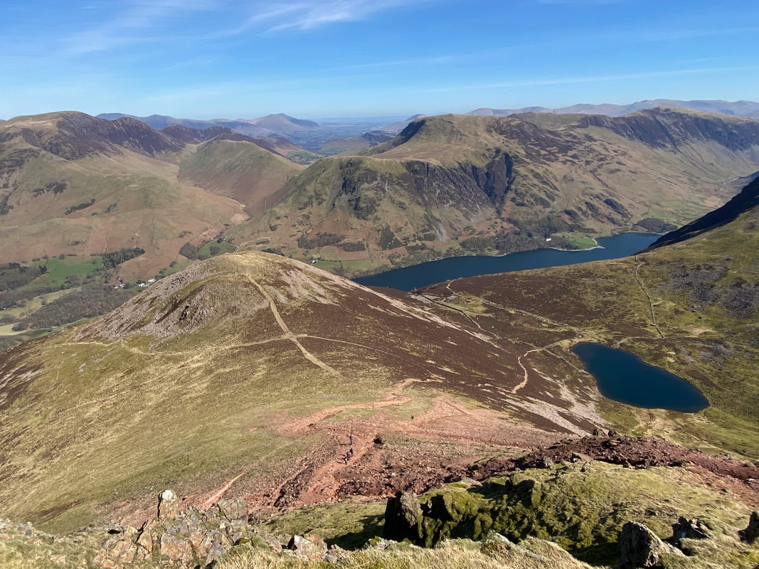
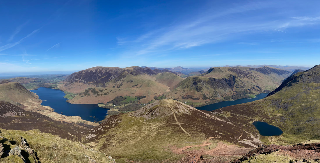
Red Pike's summit gives superb views in all directions - Loweswater is in the far distance with Crummock Water below
A few yards walk from the summit and the path coming up from the crossroads known as The Saddle comes into view. Dodd is the fell left of centre with Bleaberry Tarn to the right. The ascent from The Saddle to Red Pike is over a rough, steep and stony path therefore is better in ascent rather than descent.
A panorama to the north from the summit of Red Pike - in the far distance just right of centre is Blencathra
The summit of Red Pike with the bulk of Grasmoor beyond
From Red Pike we were to to drop down to High Gillerthwaite via Gillilinter Beck. In mist the path from the summit is not the easiest to find therefore it is best to take an "aiming off" bearing on Gillilinter Beck before leaving Red Pike's summit. That way, once the beck is reached then it is a simple case of turning left to reach the valley floor and crossing the beck at Grid Reference NY 149 147.
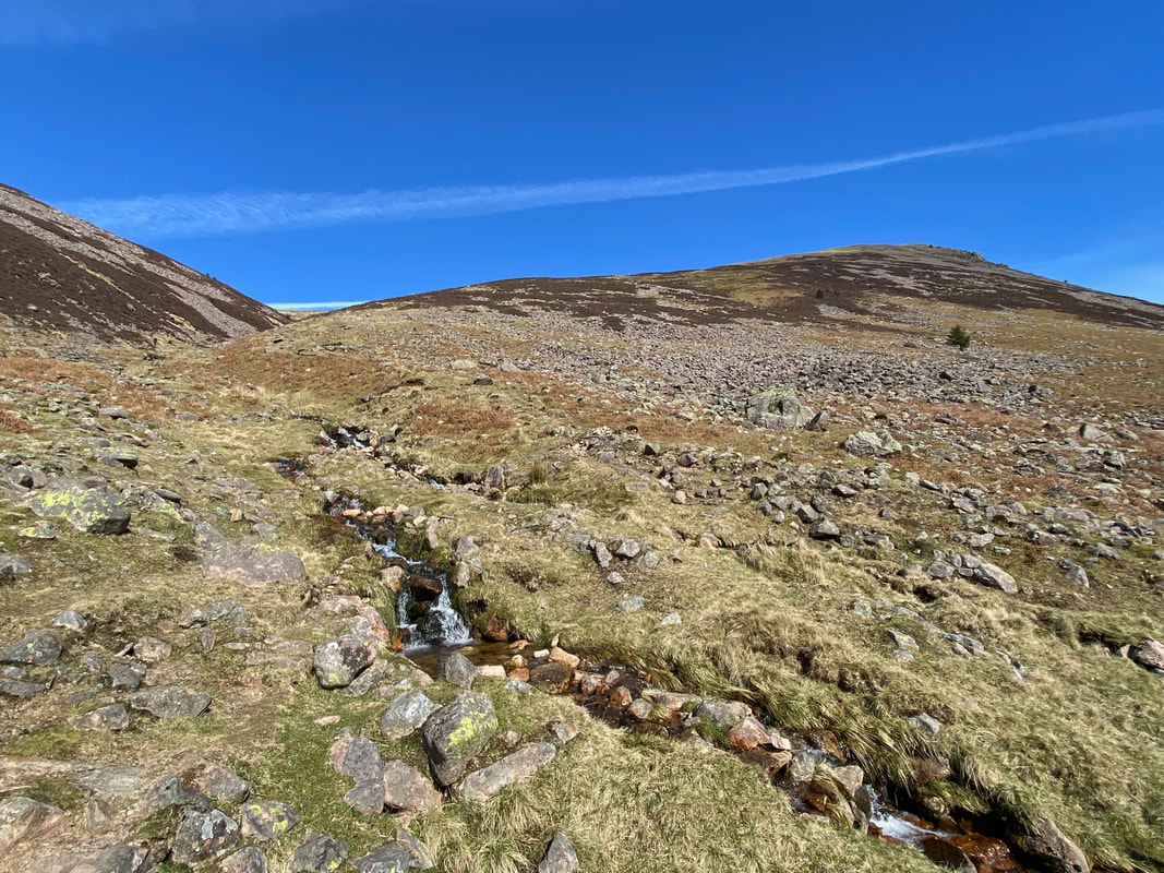
Descending from Red Pike to Gillilinter Beck
Ennerdale with Gillilinter Beck below
The Pillar group over Ennerdale from the descent to High Gillerthwaite
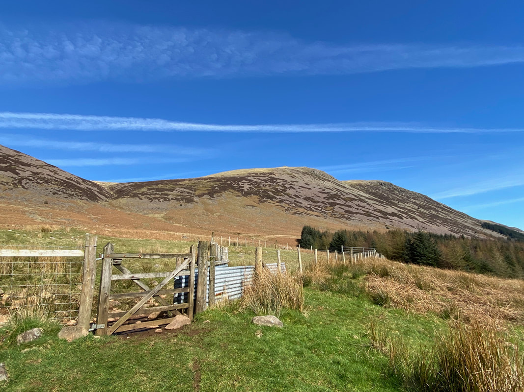
Reaching Gillilinter Beck, we crossed over and followed the path ahead to reach the forest track at High Gillerthwaite
The crossing point over Gillilinter Beck
Roughly a quarter of a mile from the forest track the route passes through a hand gate
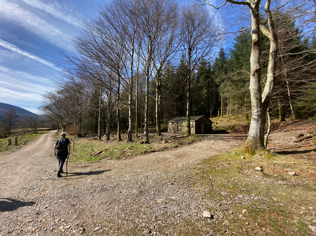
The forest track at High Gillerthwaite - from here it was simple case of a pleasant, relatively flat 2 and a half mile walk back to the Car Park at Bowness Knott
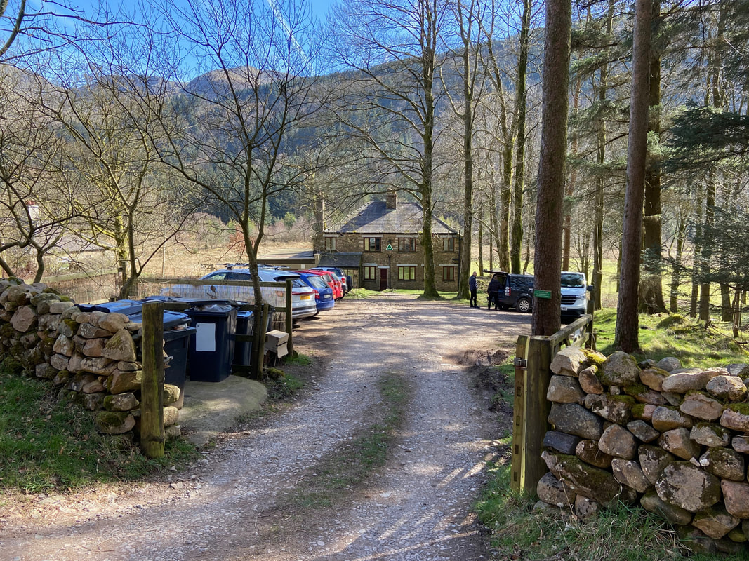
The Youth Hostel at Low Gillerthwaite
Next door to the Youth Hostel is Low Gillerthwaite Residential Field Centre
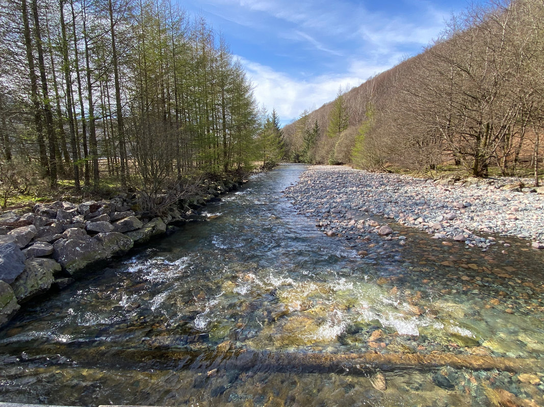
The River Liza from the Irish Bridge near Char Dub
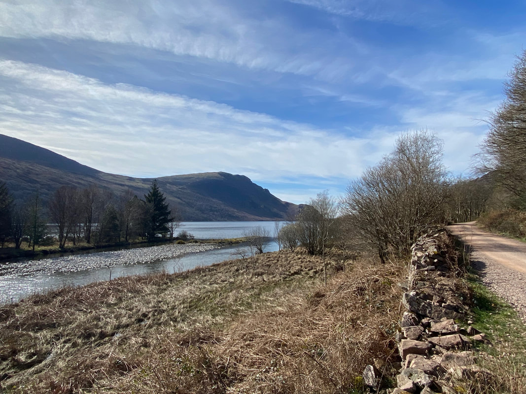
Char Dub looking to Crag Fell
