Latrigg & Lonscale Fell - Thursday 24 December 2020
Route
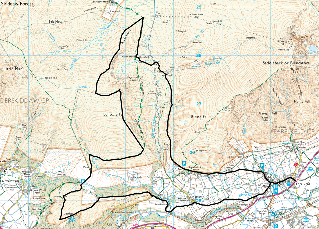
Threlkeld Cricket Club - Threlkeld - Wescoe - Brundholme - Latrigg - Gale Road Car Park - Cumbria Way - Whit Beck - Lonscale Fell East Peak - Lonscale Fell - Burnt Horse - Roughten Gill - Blencathra Centre - Threlkeld - Threlkeld Cricket Club
Parking
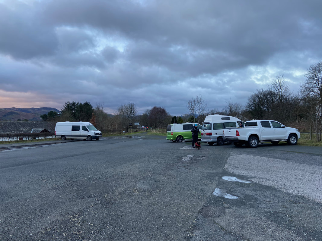
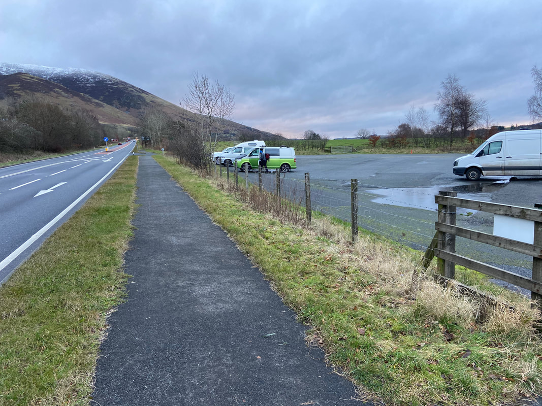
Threlkeld Cricket Club on the A66 (Donation) - Grid Reference is NY 3254 2541. Nearest postcode is CA12 4TZ. If coming from Keswick the access point is via a filter lane just after the turning into Threlkeld (see pic below).
Mileage
12.3 miles
Terrain
Good mountain paths throughout. The descent to Burnt Horse is steep but neither technical nor difficult. There are sections of road walking along quiet lanes at the start & finish of the walk.
Weather
Bitterly cold with strong winds at times. The snowline today was at 600m however the snow was soft underfoot and did not warrant micro spikes therefore whilst full winter kit was carried, it was not required today. Visibility was very good.
Time Taken
7hrs
Total Ascent
2568ft (783m)
Wainwrights
2
Map
OL5 - The English Lakes (North Eastern Area)
Walkers
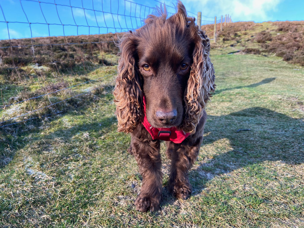
Dave, Angie & Fudge with Sharon O'Malley who we would like to thank for the use of some of her photographs.
|
GPX File
|
| ||
If the above GPX file fails to download or presents itself as an XML file once downloaded then please feel free to contact me and I will send you the GPX file via e-mail.
Route Map
The walk today started from Threlkeld Cricket Club on the A66 who kindly allow parking for a small donation. The donation boxes are located either end of the vehicle & pedestrian entrances.
The A66 looking eastbound. There is only one vehicle entrance into the Car Park and this is reached via a filter lane. The A66 is crossed at this point therefore be careful.
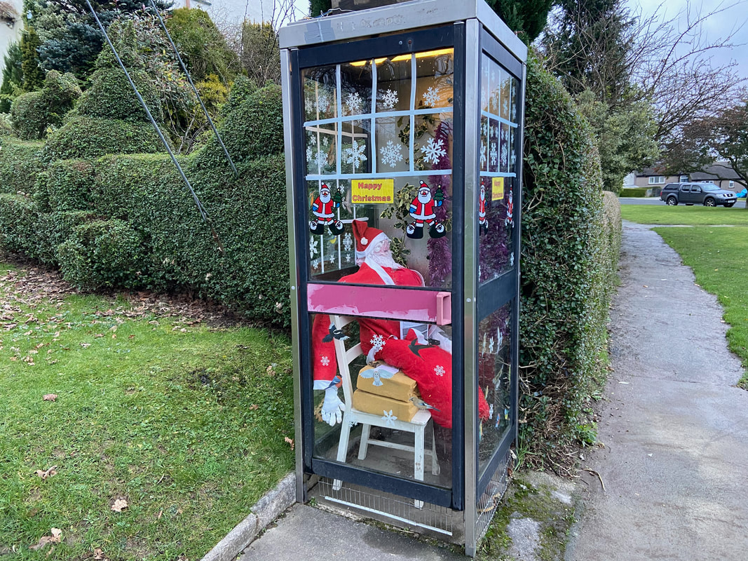
Great use of a disused telephone box in Threlkeld however the occupant looks a little worse for wear
I searched around looking for the human version but to no avail
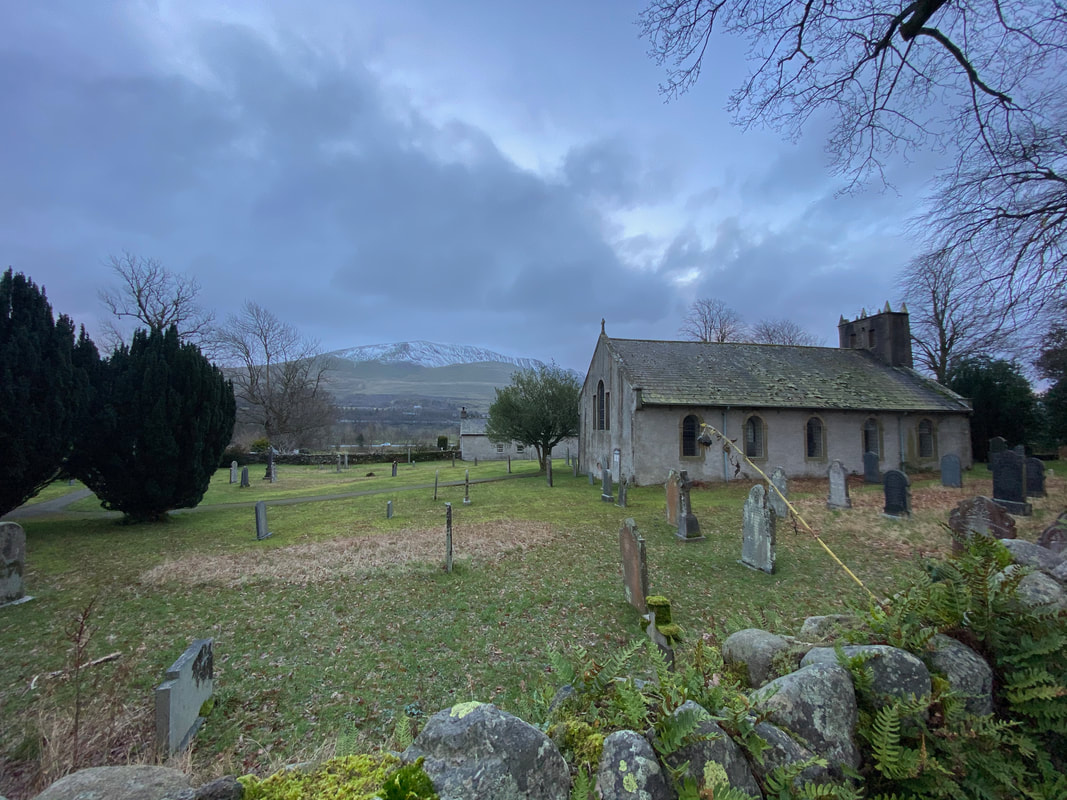
St Mary's Church in Threlkled with a fine view over to Clough Head
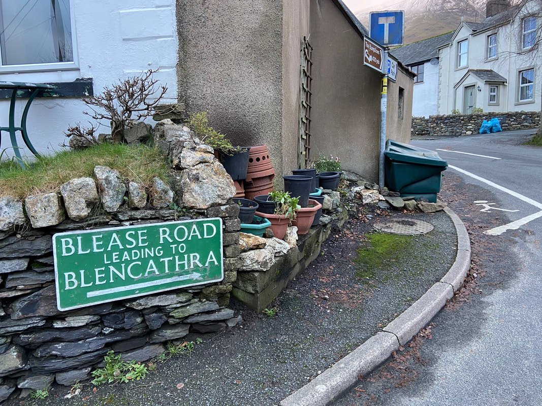
Blease Road leads to the Blencathra Centre and this would be our return route
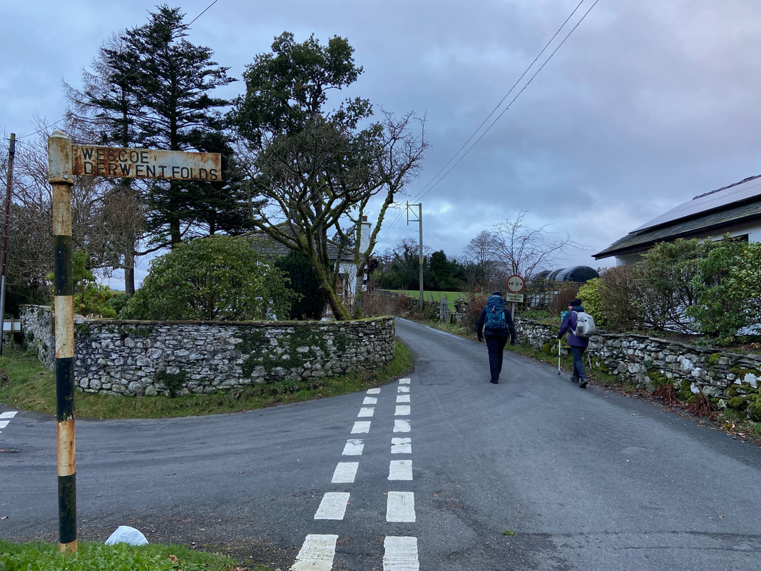
Heading through Threlkeld and on to Wescoe
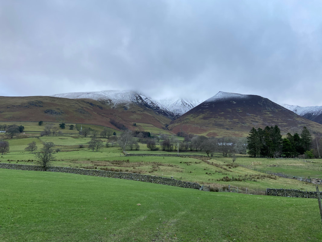
Blencathra & Knott Halloo from near Wescoe. Knott Halloo is climbed when ascending Blencathra via Gategill Fell (Blencathra 13)
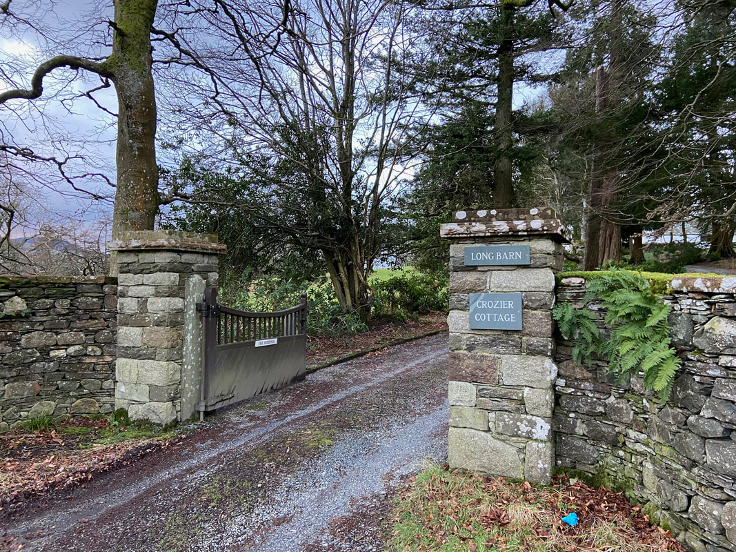
The route continues along the quiet lane towards Wescoe passing Long Barn
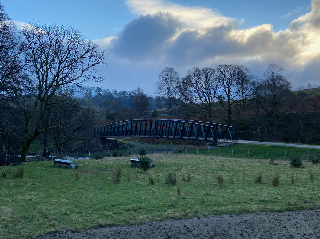
The replacement bridge over the River Greta at Brundholme. During Storm Desmond in 2015 the original bridge was swept off its abutments and came to rest on a new bank of debris in the river. The installation of the new bridge was completed in March 2020. A short video of the installation can be found at this link here
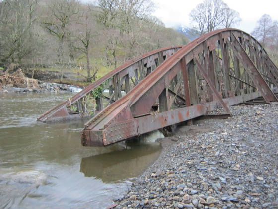
The original bridge at Brundholme over the River Greta. Storm Desmond made a right old mess of the Keswick to Threlkeld Railway Trail and therefore large sections of the path were closed for over 5 years. The trail was finally reopened in December 2021.
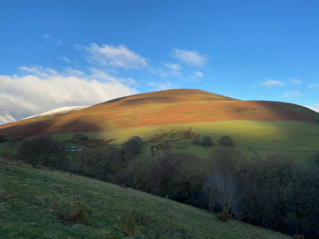
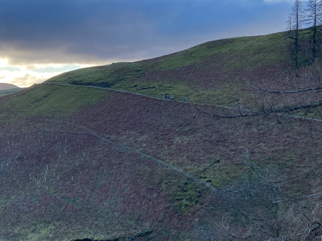
The lower slopes of Lonscale Fell - we would be over there shortly.
Clough Head, The Dodds, High Rigg & St John's in the Vale from Brundholme
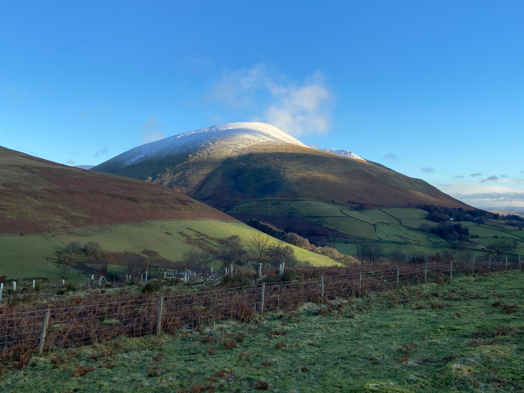
Blease Fell on Blencathra
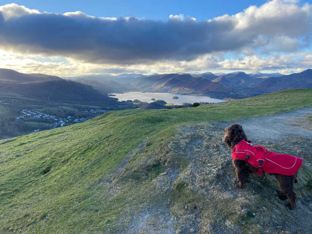
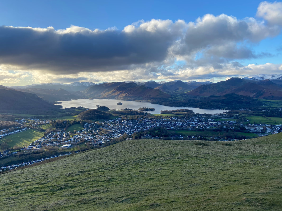
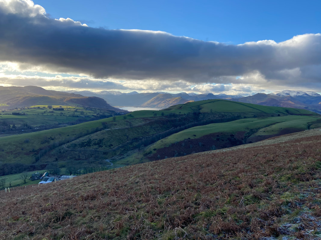
The summit of Latrigg looking to Derwentwater & Keswick
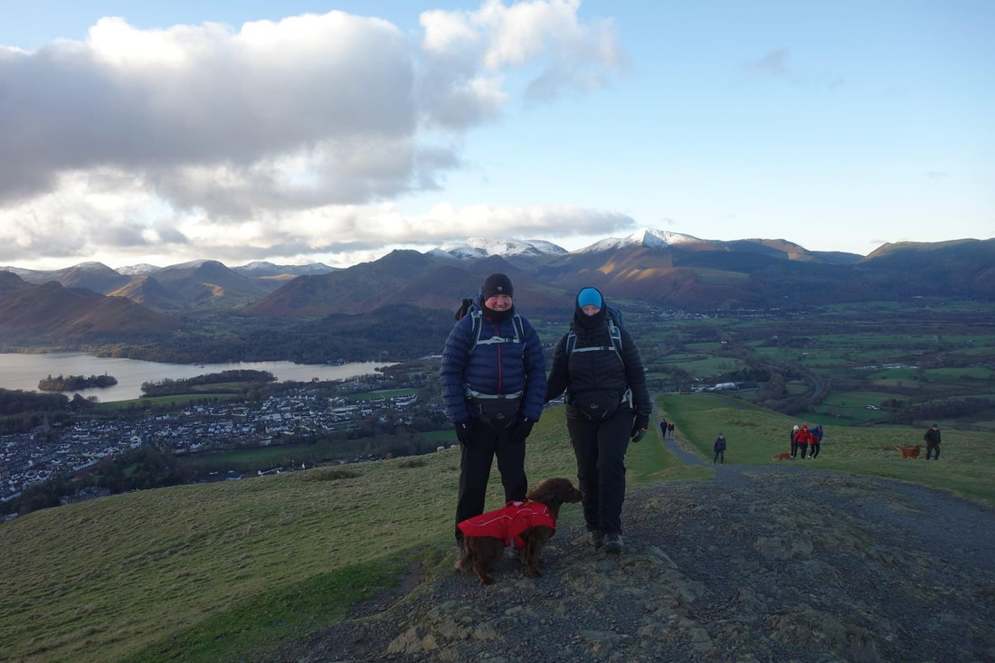
The 3 of us on Latrigg's summit - as usual Fudge has gone all camera shy.
For relatively very little effort Latrigg gives fantastic views - it is one of the most accessible fells in Lakeland
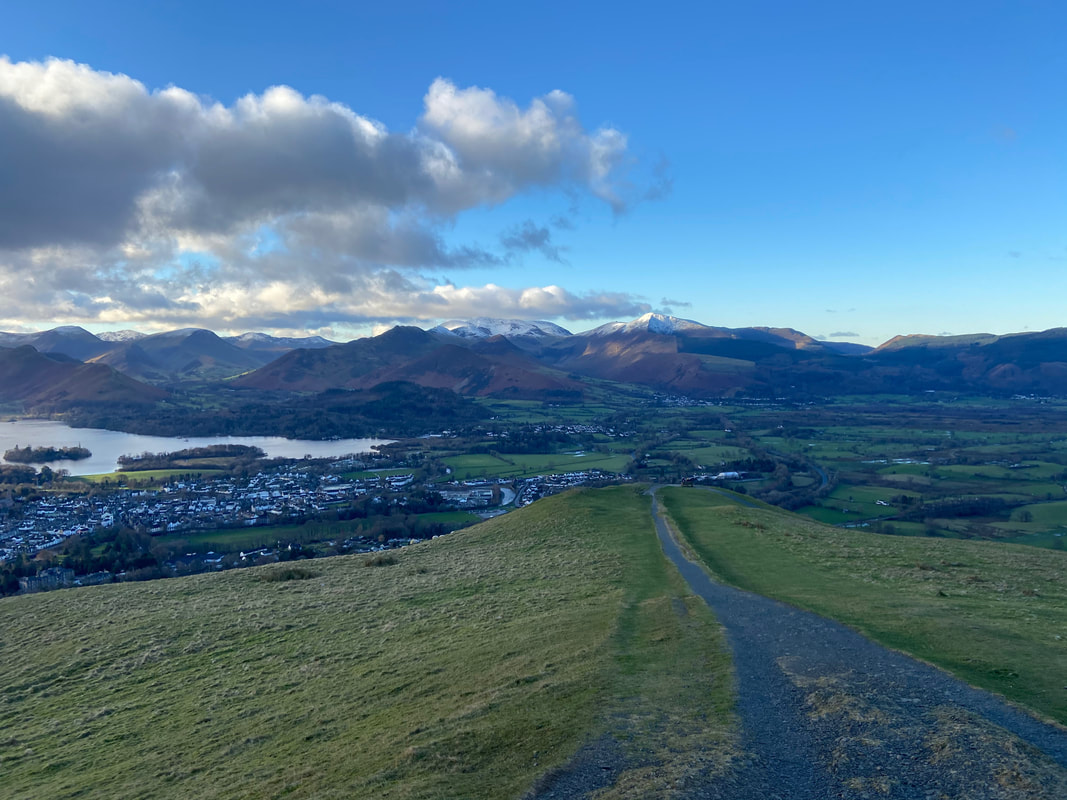
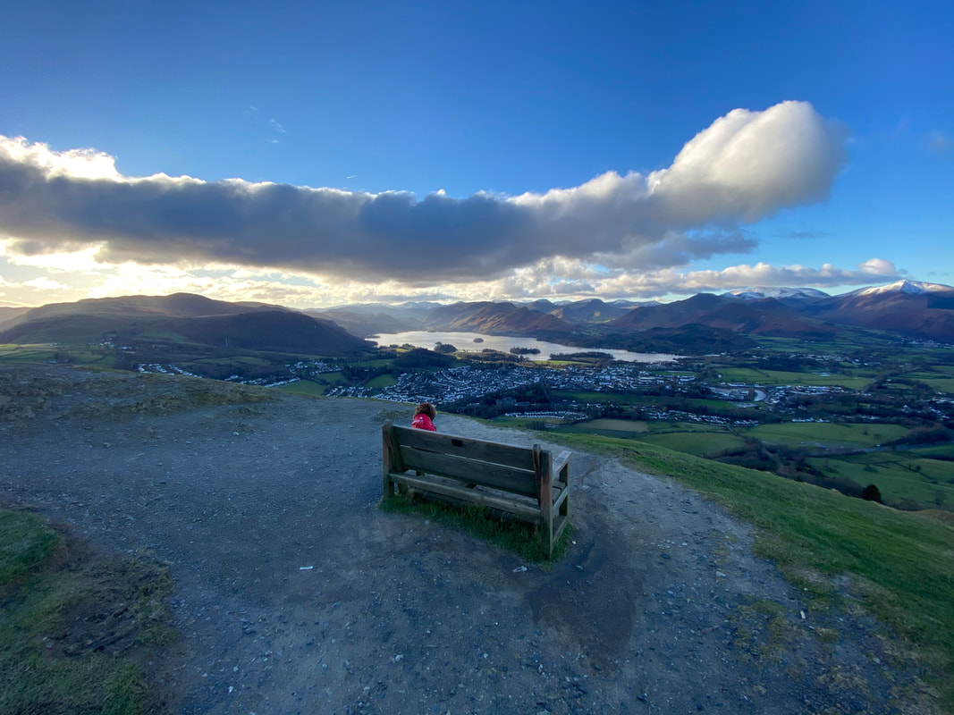
From the summit a good path heads down to a bench
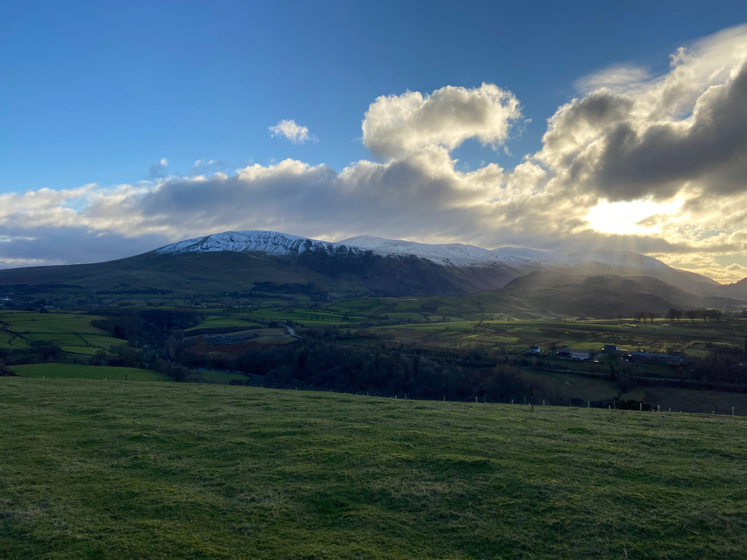
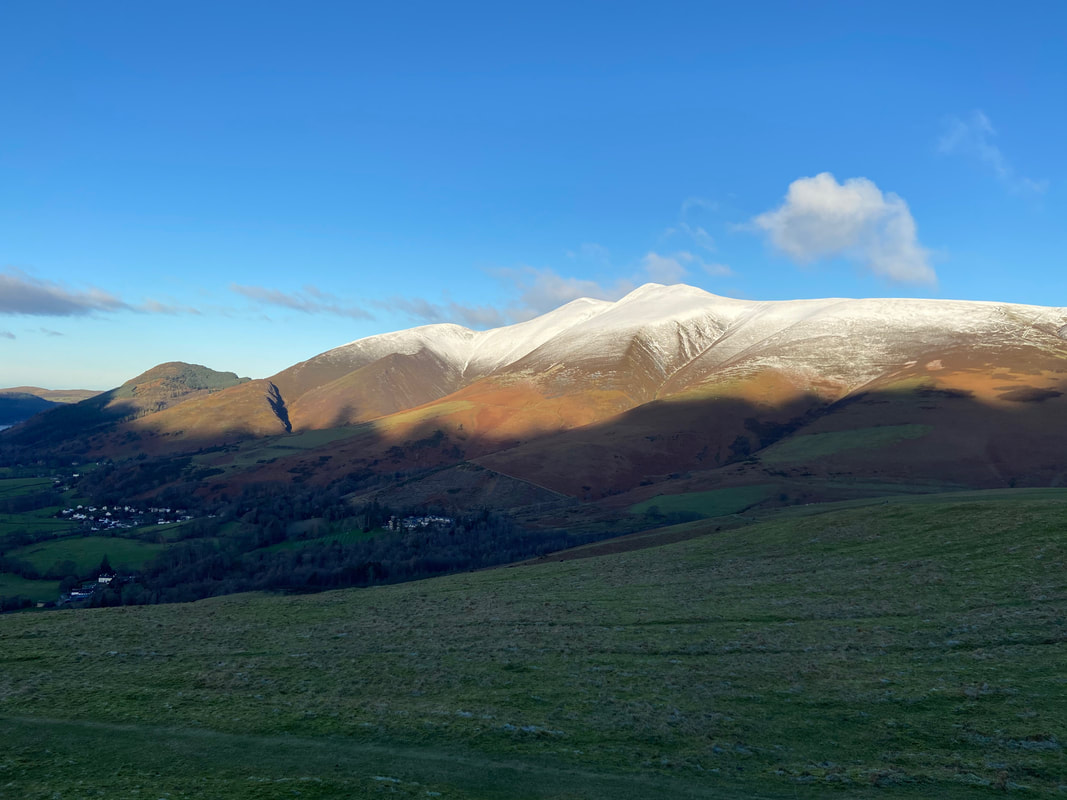
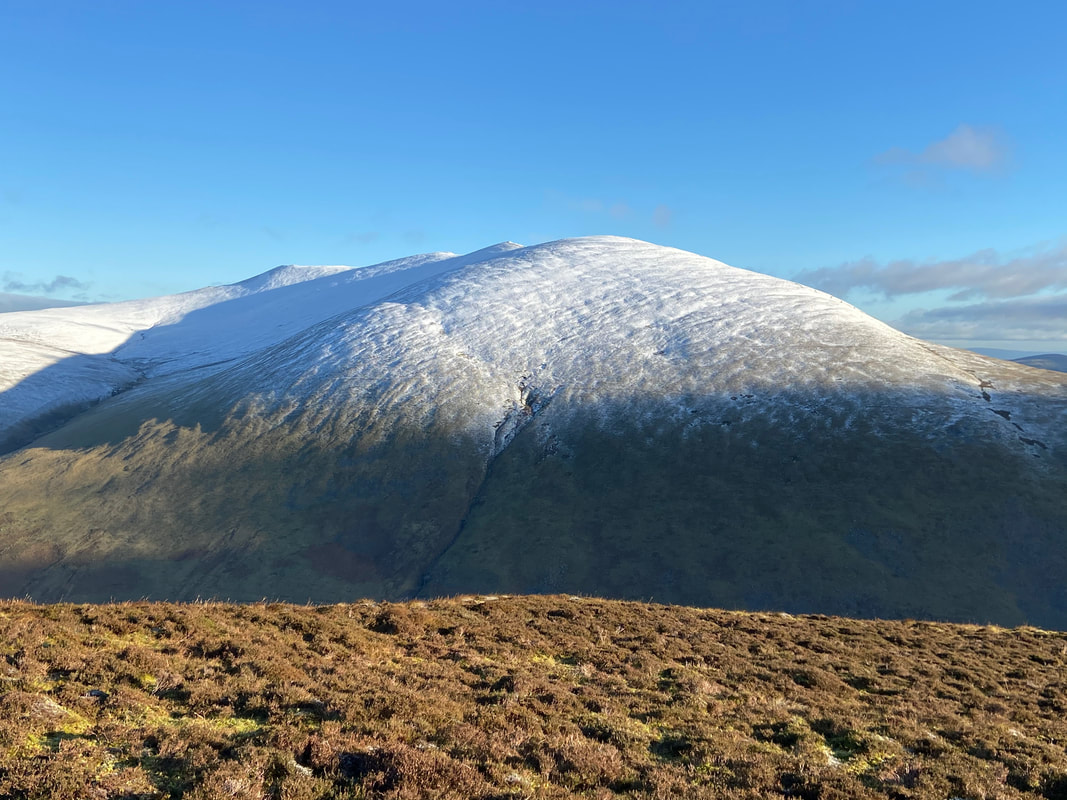
Icing Sugar on the Skiddaw range
Got to be one of the best views from a bench in the entire National Park - Fudge thinks so anyway
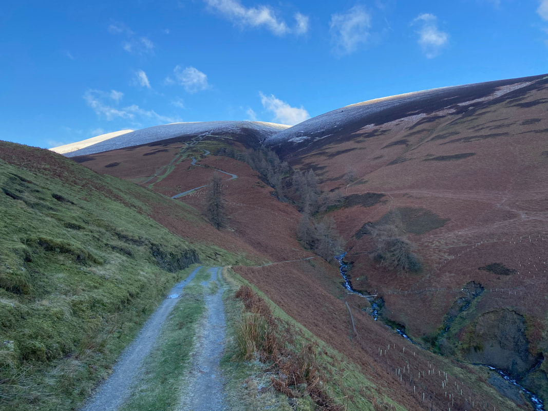
From Latrigg the route follows that of the Cumbria Way. Whit Beck is ahead and after crossing the beck the route swings around to the right to head below Lonscale Fell. The track zig zagging up to the left is the popular Skiddaw path from the Gale Road Car Park.
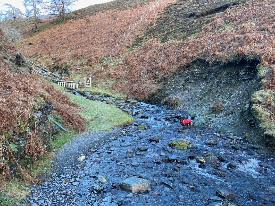
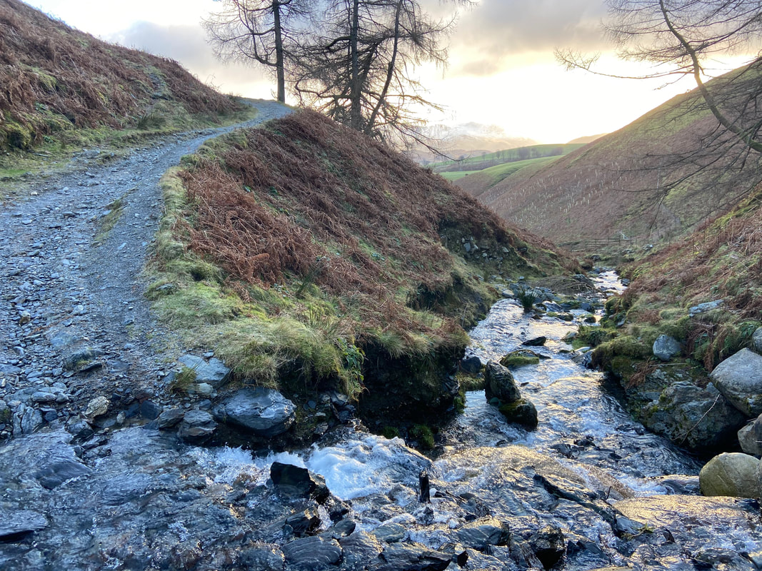
Crossing Whit Beck - the path is to the right, out of shot........................
...............................here
Looking back towards Latrigg and our path to Whit Beck
Latrigg from the Cumbria Way
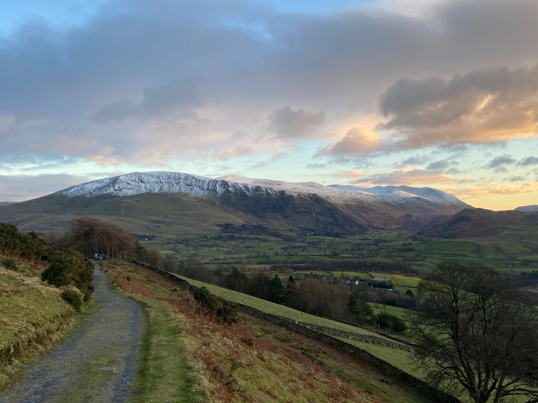
Blease Fell on Blencathra - the path cutting across the base of the fell is our return route which leads to the Blencathra Centre
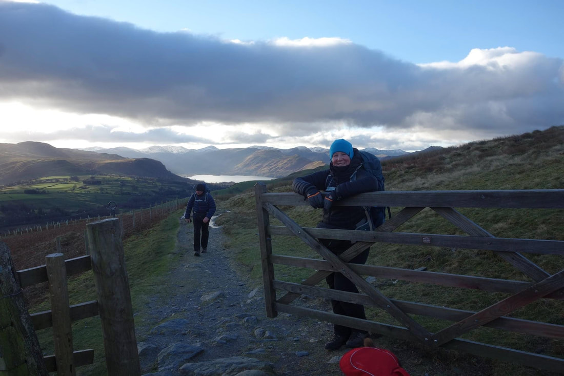
Angie on gate duty as we reach the turn and the steep ascent up Lonscale Fell - the path is just to the right once through the gate. Our route up from here is described on Lonscale Fell 4.
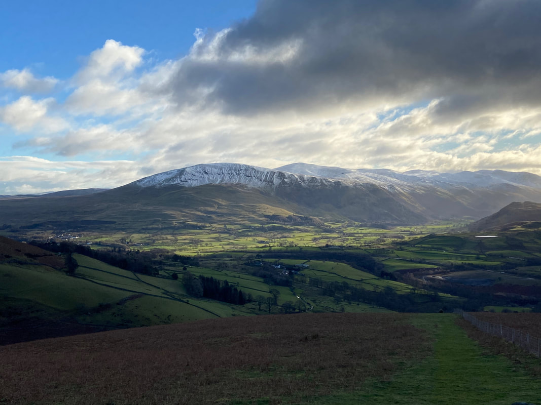
Looking back down to the early part of our ascent to Lonscale Fell. Clough Head & The Dodds are looking great today.
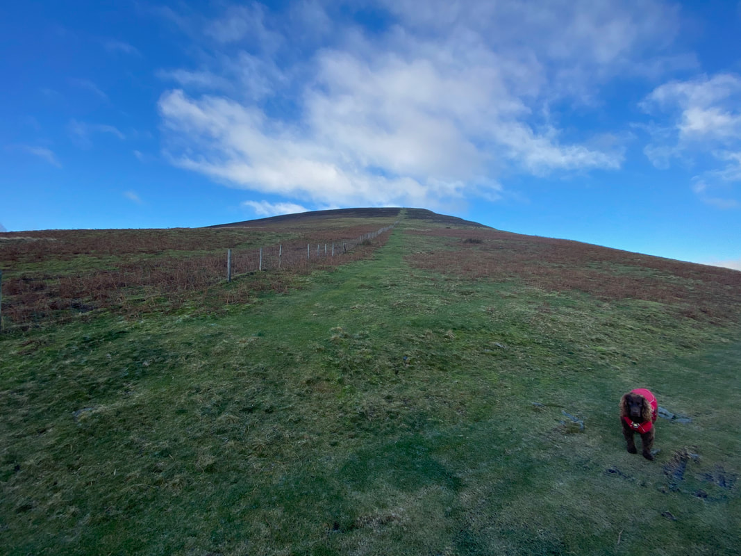
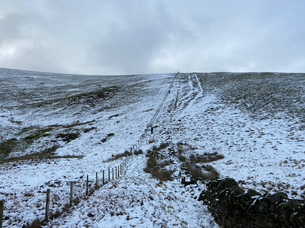
Steeper than it looks - just plod up & rest often
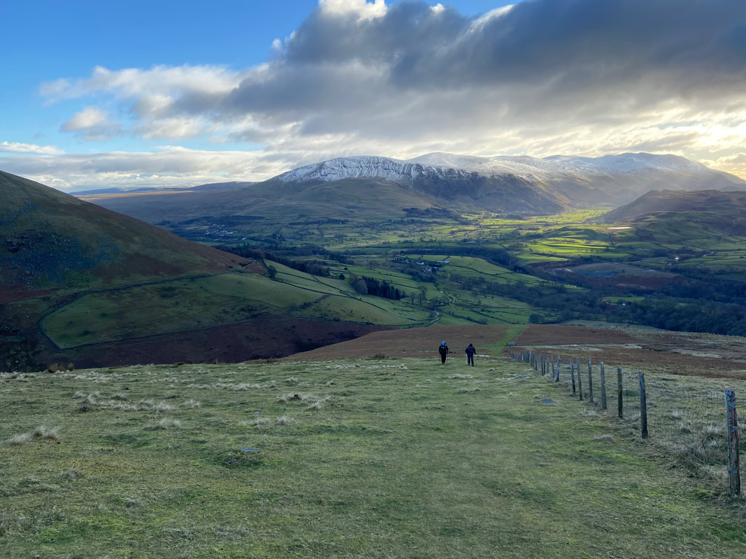
Another view down the route of ascent - the view from here gives a better indication of the steepness. The Helvellyn range is now in view to the right.
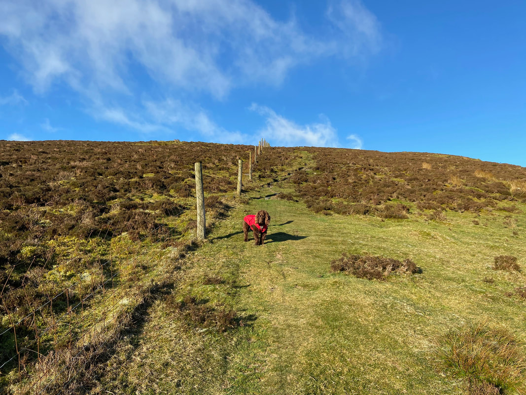
The sun appears to reveal an impatient pooch
The eyes have it
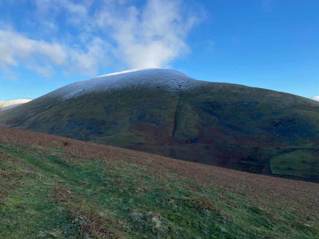
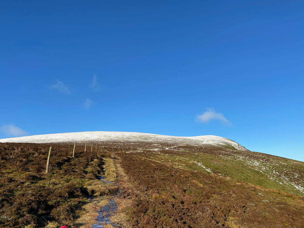
The steepness relents slightly as we approach the snowline
Blease Fell, Gategill Fell, Blencathra & Atkinson Pike across the Glenderaterra Valley
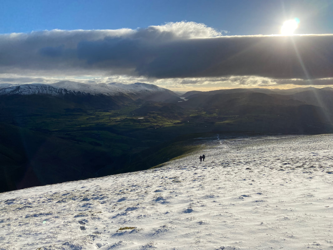
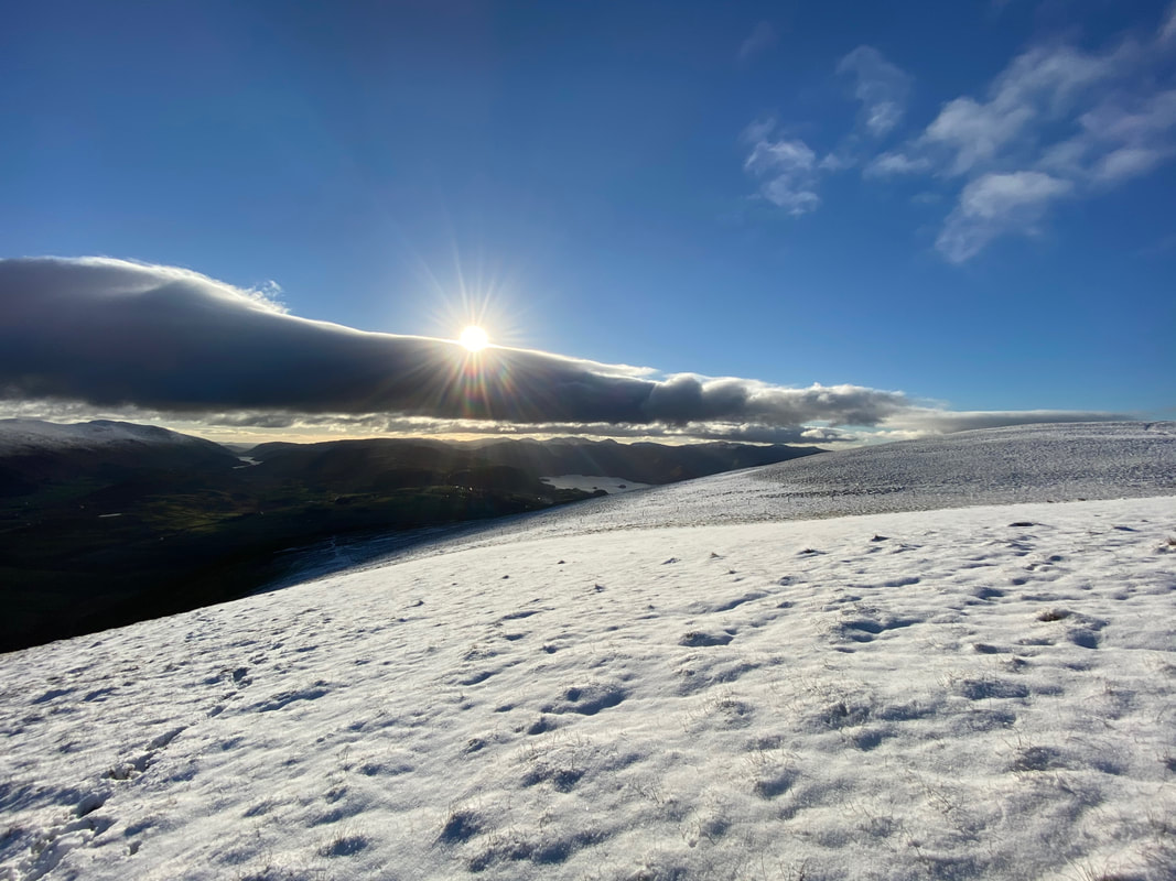
Angie & Sharon approaching the snowline as Thirlmere comes into view. We were off to the east peak first then over to Lonscale Fell.
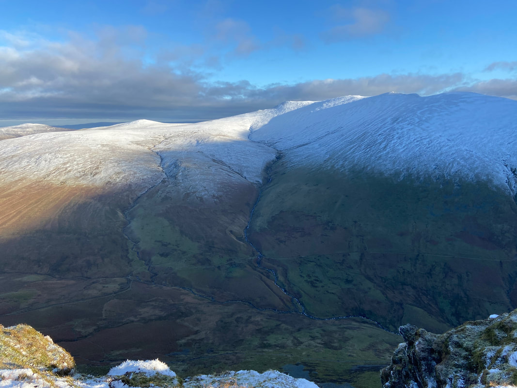
The east peak of Lonscale Fell gives a cracking view to Roughten Gill cutting through the fell side of Blencathra. Carrock Fell & Bowscale Fell are to the left.
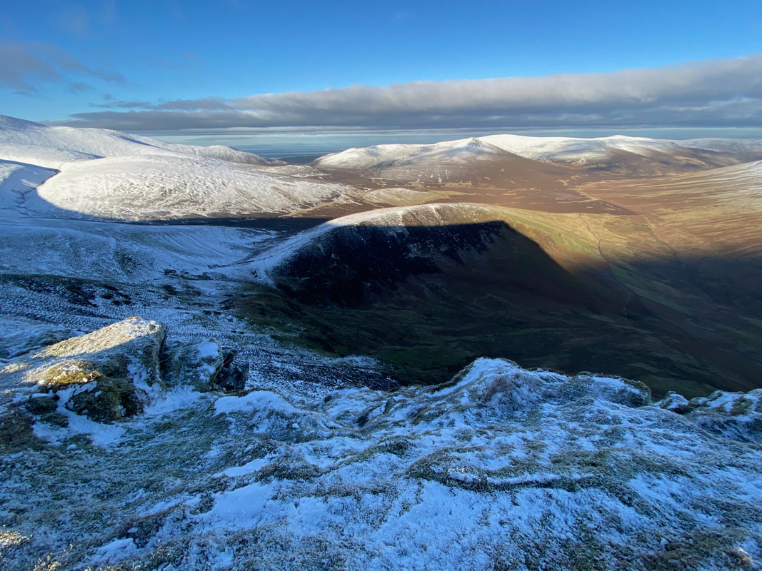
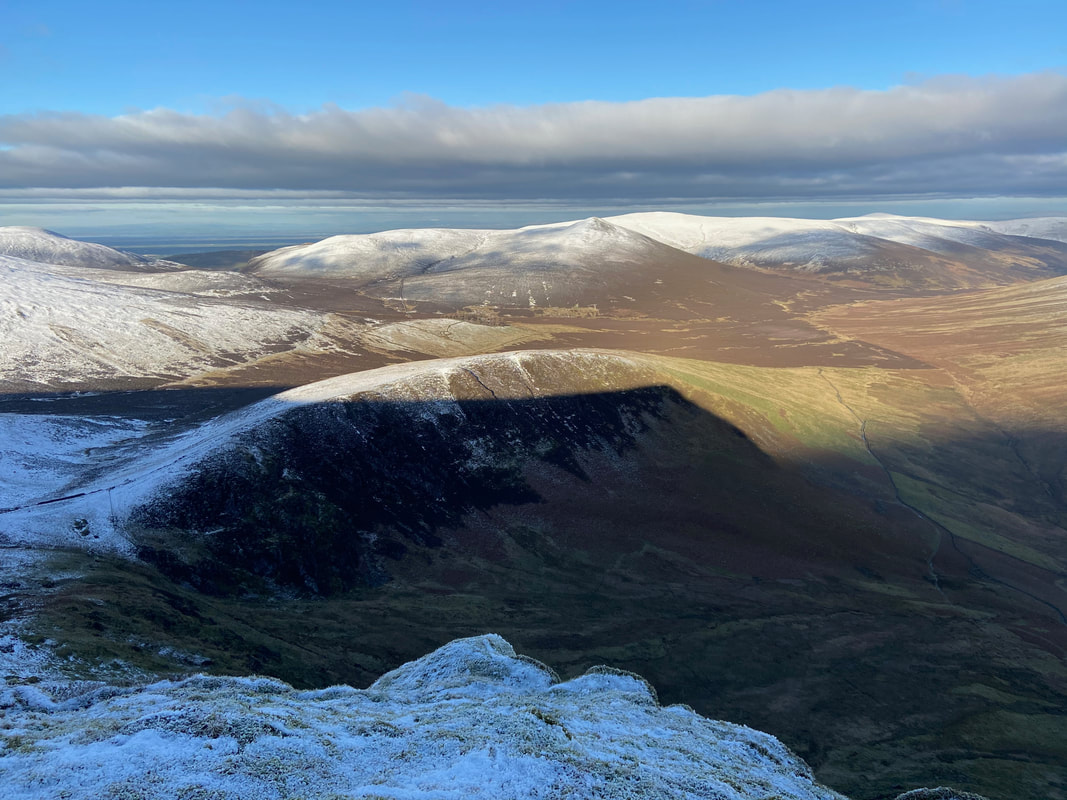
Burnt Horse with Lonscale Fell casting a shadow over it. This would be our route of descent. Great Calva is right of centre with Knott & High Pike beyond.
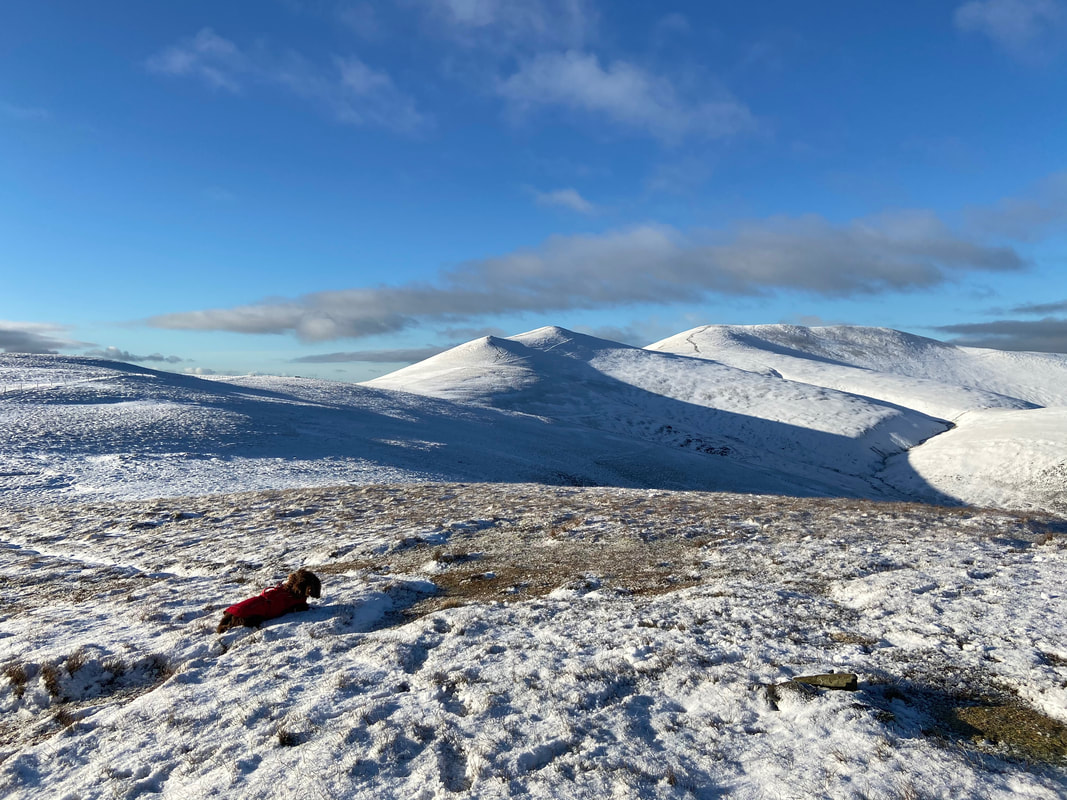
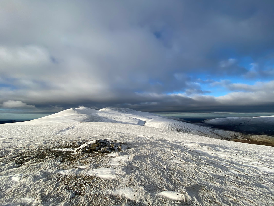
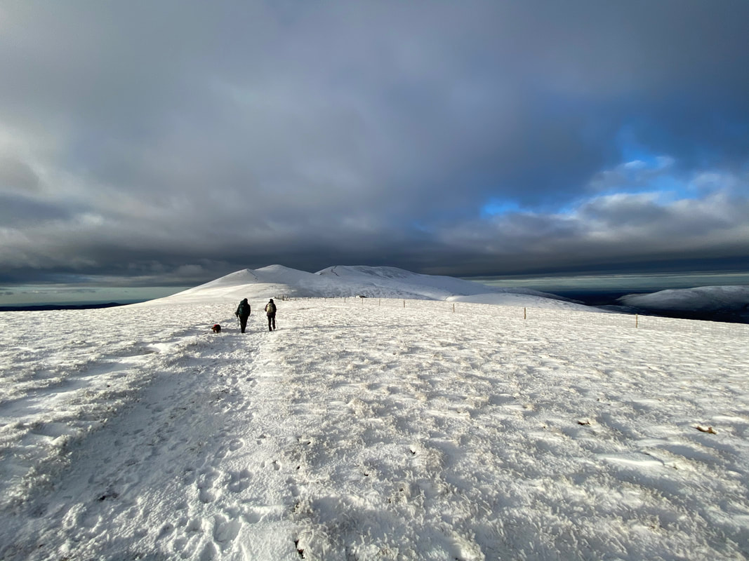
Fudge has a rest in the snow on the east peak's summit plateau as we look over to Skiddaw
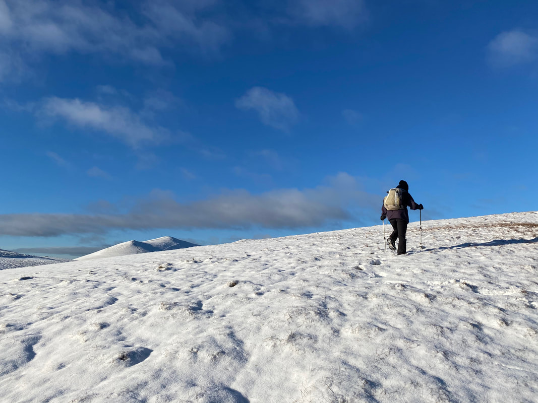
Sharon approaching the east peak's summit
A closer look at Burnt Horse from the east peak. We have often wanted to do this descent but had never got around to it - today would be the day.
No one else here - and what a view
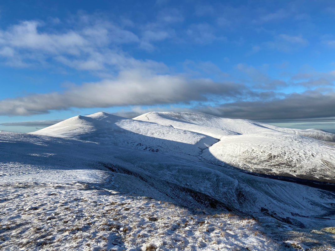
The Skiddaw range from Lonscale Fell
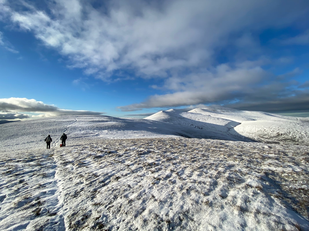
Heading for Lonscale Fell's summit
The summit of Lonscale Fell
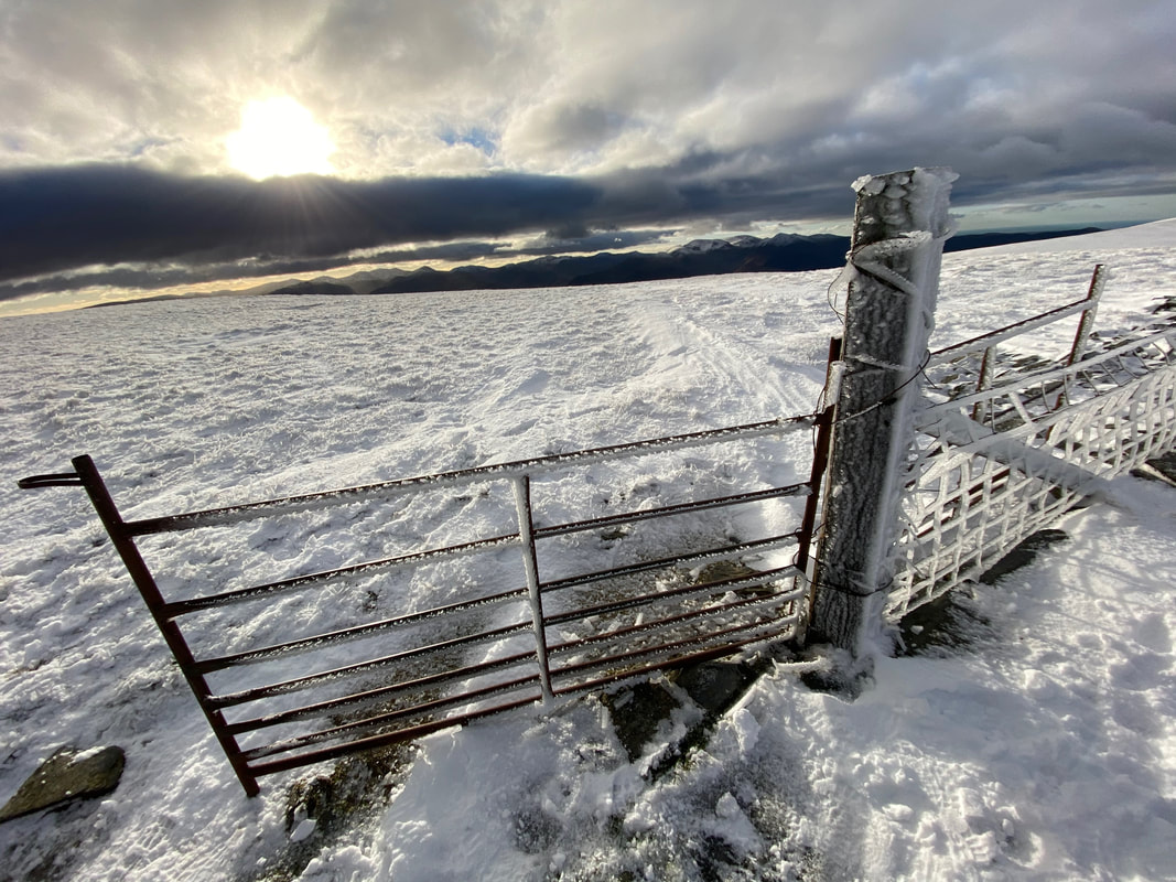
From Lonscale Fell's summit it was time to find the access gate that would lead to the path over Burnt Horse.....................
................ and here it is
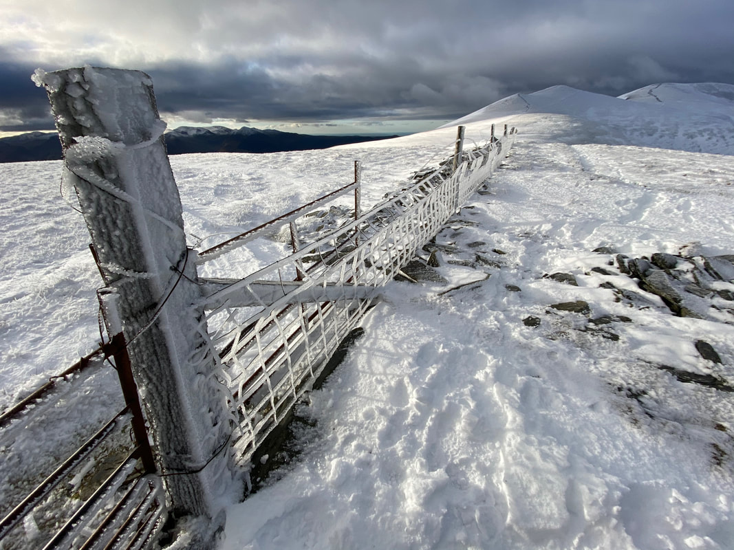
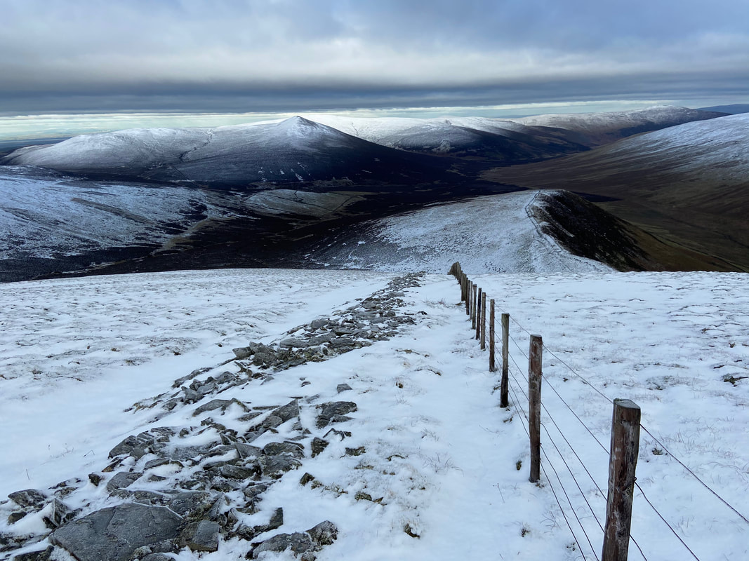
Looking down the fence line that leads to Skiddaw - as you can see it was a bit nippy up here today
The steep descent to Burnt Horse
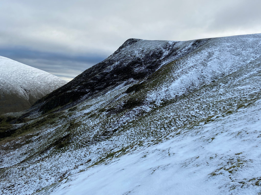
Lonscale Fell from the steep path to Burnt Horse
Looking back to our descent from the col
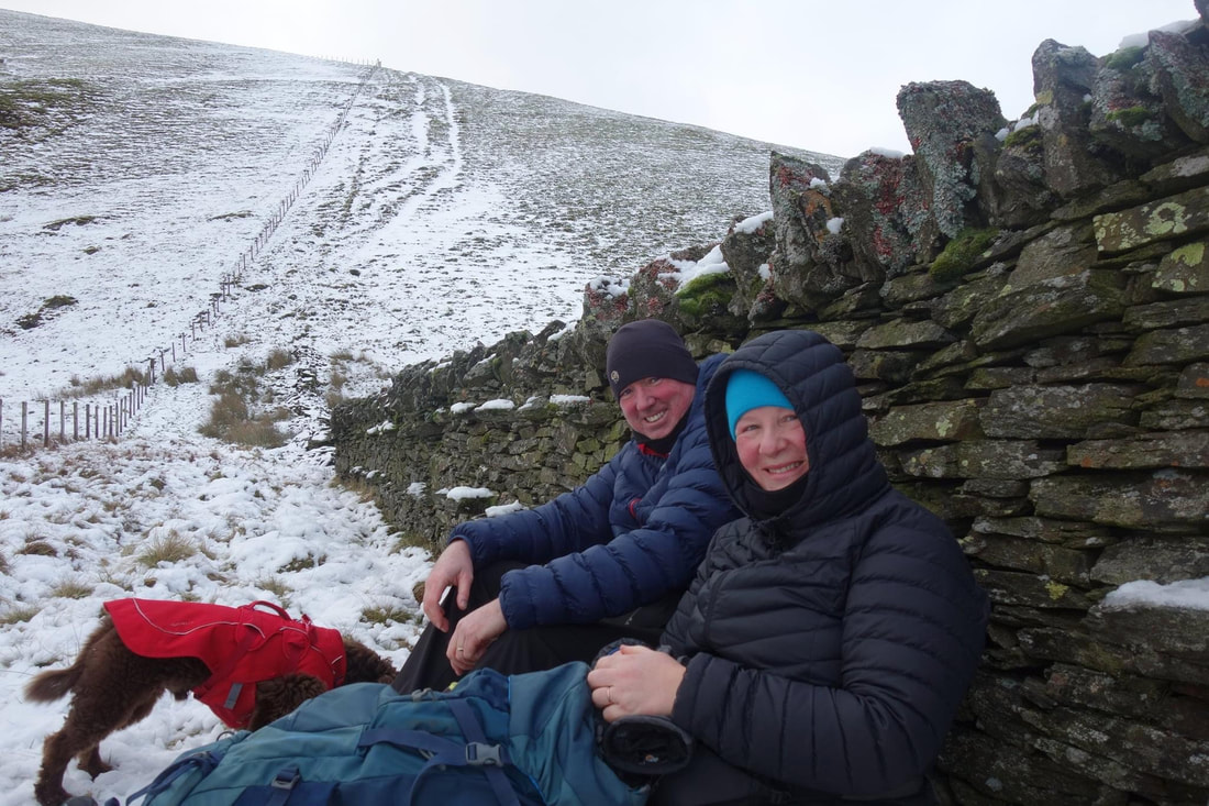
Time for lunch - it was nice to get out of the wind. Not blessed with any manners, Fudge is already tucking into his.
The path over Burnt Horse - it was a bit lumpy in places but not too bad
Skiddaw House in the trees with Little Calva providing the backdrop
Great Calva
Not everyone's favourite fell but I love it - Mungrisdale Common
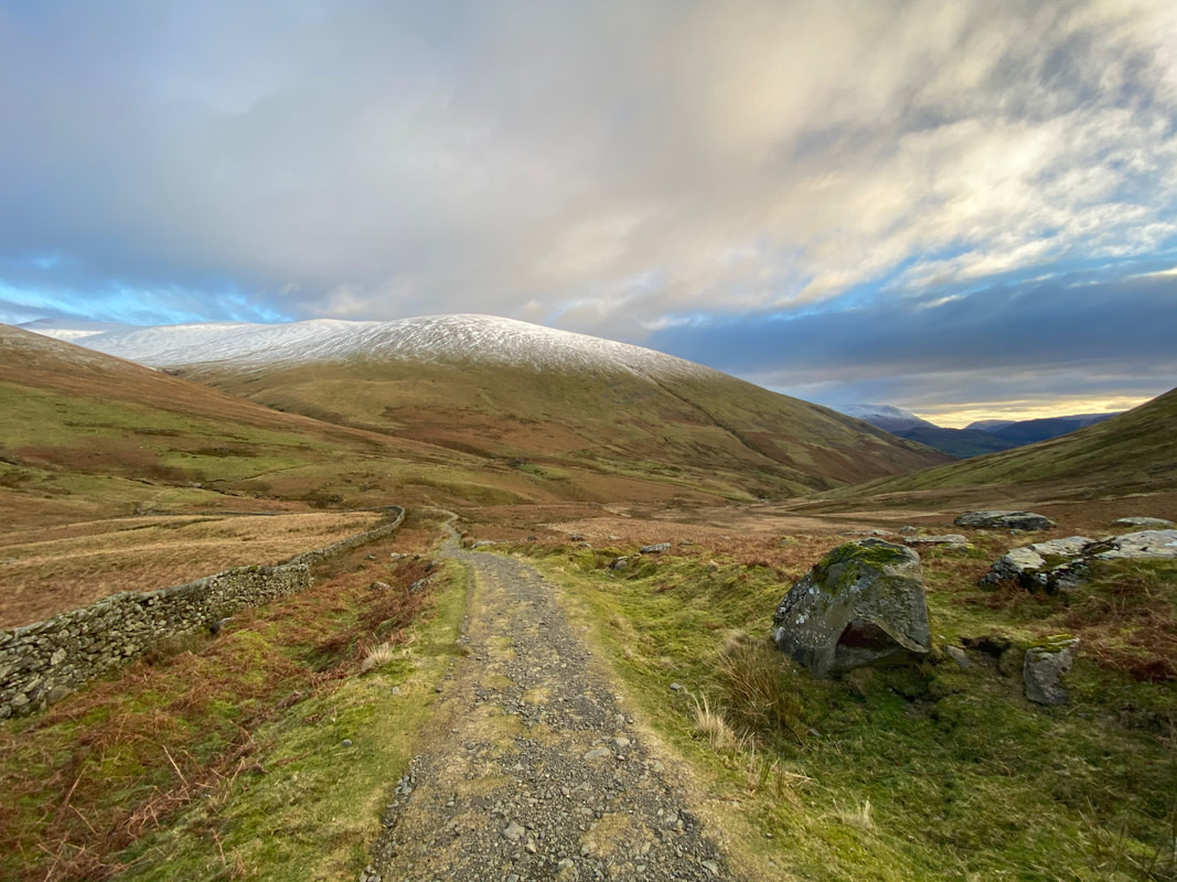
We were now back on the Cumbria Way for a short while as we make our way to the start - Blease Fell is ahead
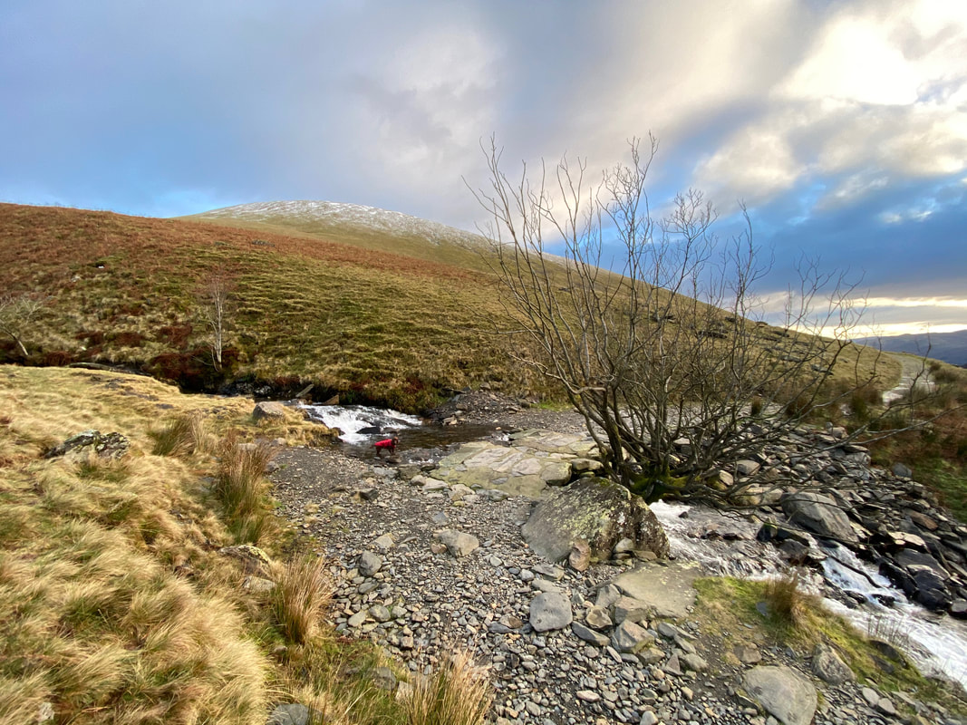
The stone clapper bridge over Roughten Gill
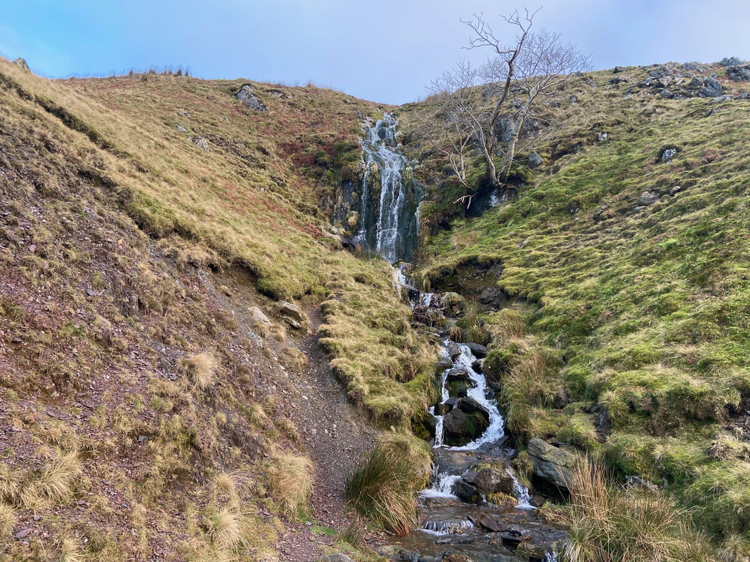
The lovely waterfalls of Roughten Gill
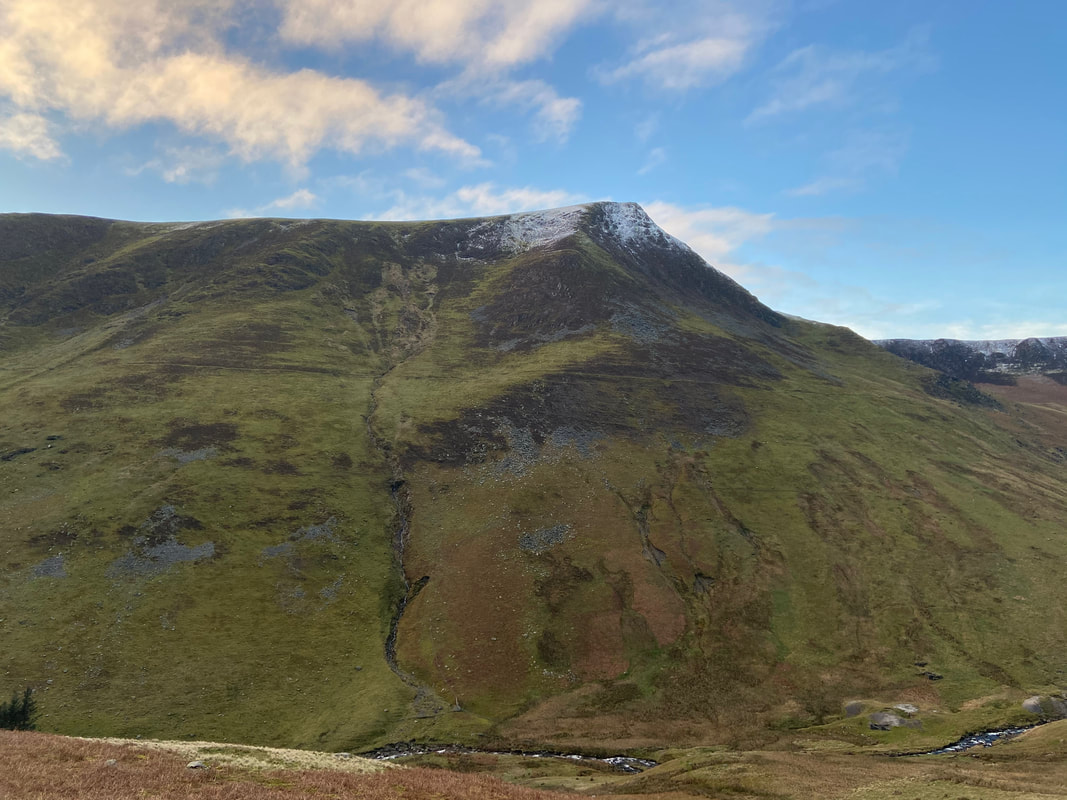
Another view of Lonscale Fell - this time from Roughten Gill
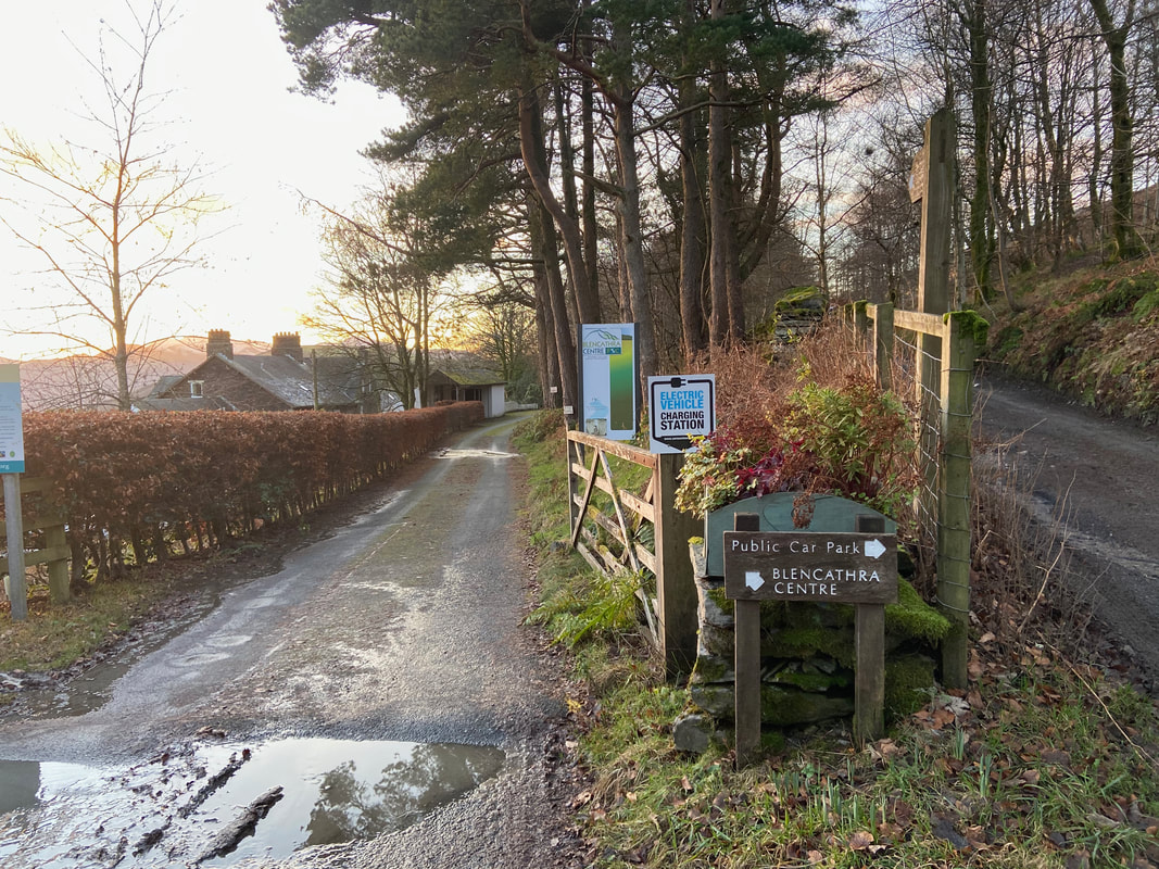
Nearing the Car Park by the Blencathra Centre
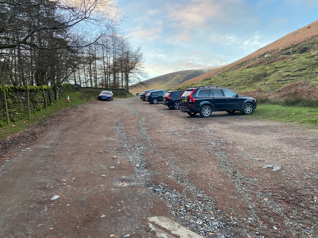
The Car Park above the Blencathra Centre - the Blease Fell ascent of Blencathra starts from here
The Blencathra Centre. Built in 1904, the buildings were formerly a sanatorium. The site was purchased by the Field Studies Council in 2013.
Looking over to Threlkeld Knotts & Clough Head as light starts to fade
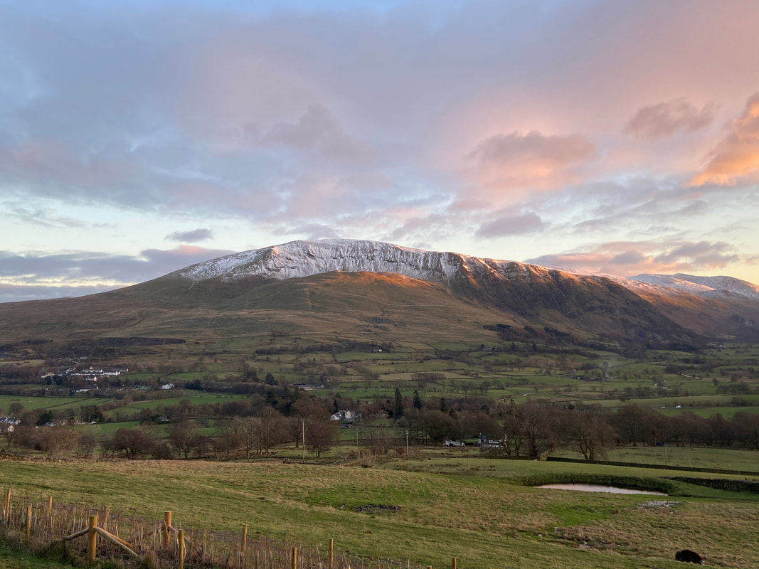
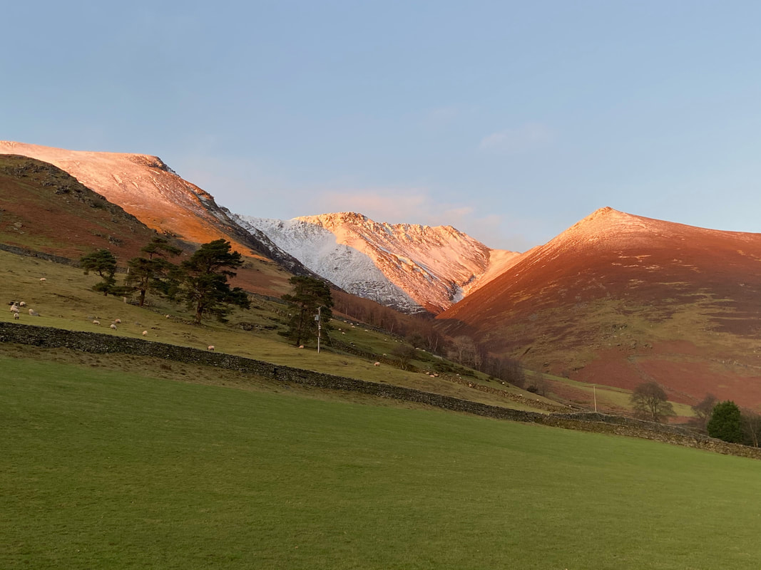
The last bits of sun over Blencathra & Knott Halloo
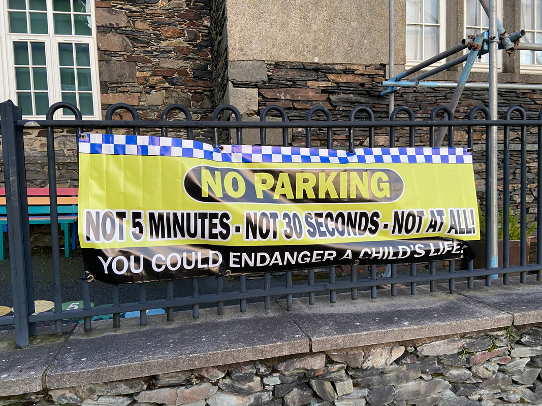
Despite the fact that directly opposite this sign outside Threlkeld School there is a Car Park, people are still not getting the message. Wanton parking of vehicles in dangerous places is sadly more prevalent in Lakeland than ever, particularly on good weather days.
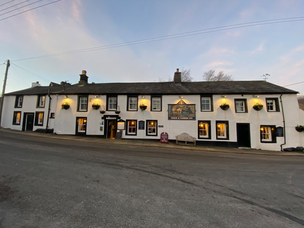
A really good Lakeland Pub and one we have visited many times but not today
