Grange Fell - Monday 15 October 2018
Route
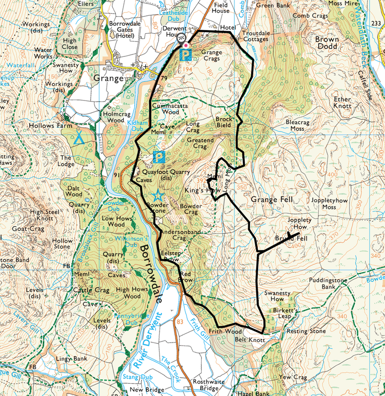
Grange - Troutdale - Long Moss - King's How - Grange Fell (Brund Fell) - Jopplety How - Frith Wood - Red Brow - Bowder Stone - Grange
Parking
2 x Parking Areas on the B5289 near the village of Grange (Free) - Grid Ref NY 256177. The nearest postcode is CA12 5UY. Alternatively, park in the village and start the walk from there.
Mileage
5 miles
Terrain
Good mountain paths for the majority of the walk. The path through Frith Wood is steep therefore care needs to be taken. The final section from near the Bowderstone Car Park is along the B5289 however there is a pavement path on the left hand side of the road, once again care needs to be taken.
Weather
Mild and overcast with sunny periods.
Time Taken
3hrs 40mins
Total Ascent
2550ft (777m)
Wainwrights
1
Map
OL4 - The English Lakes (North Western Area)
Walkers
Dave, Angie & Fudge
|
GPX File
|
| ||
If the above GPX file fails to download or presents itself as an XML file once downloaded then please feel free to contact me and I will send you the GPX file via e-mail.
Route Map
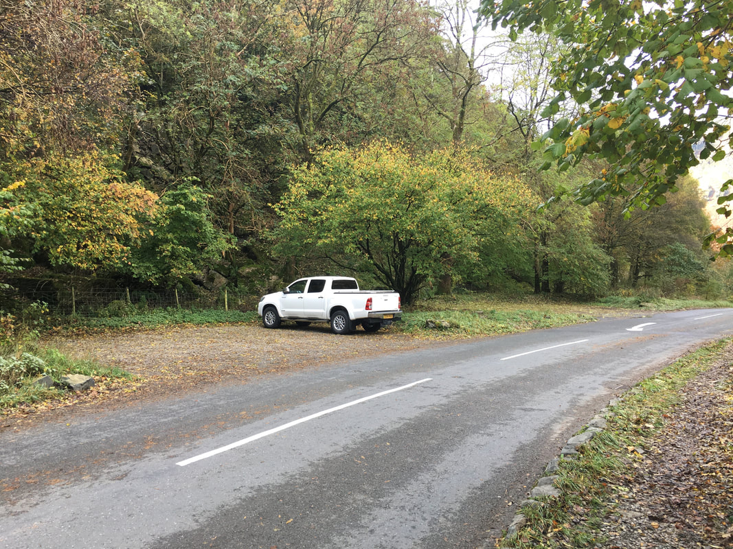
The parking area on the B5289 a few hundred yards from the village of Grange
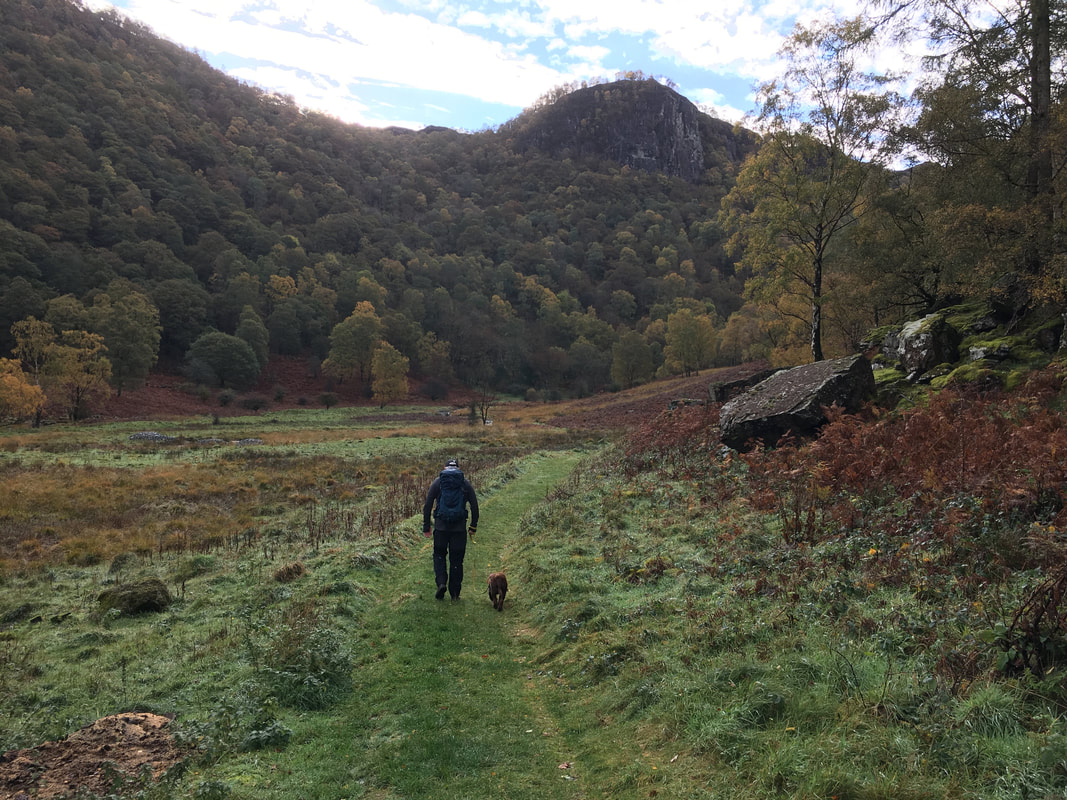
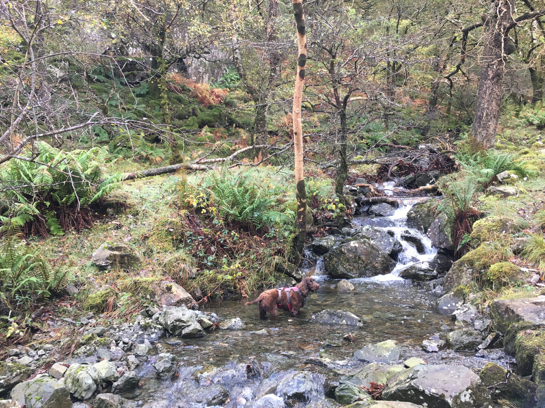
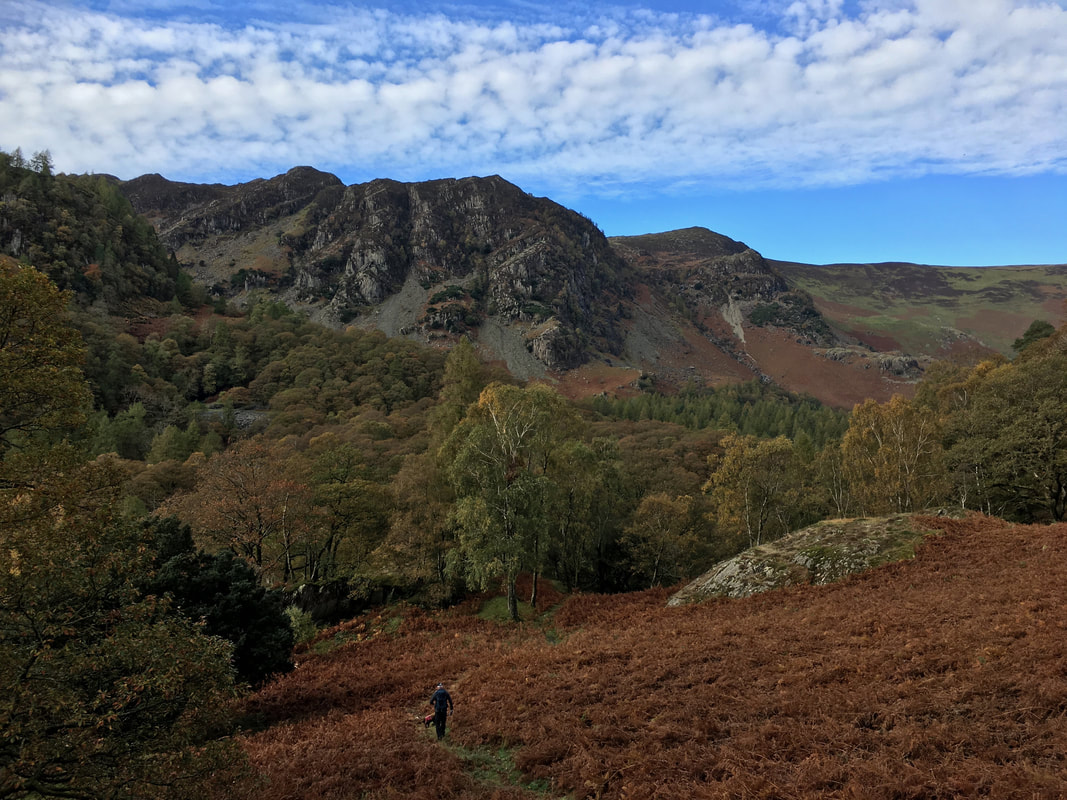
From the B5289 the route turns to the right up the access road to Troutdale Cottages and then heads through the delightful valley of Troutdale. We have walked through Troutdale several times and are yet to meet another living soul. The lump in the distance is Greatend Crag.
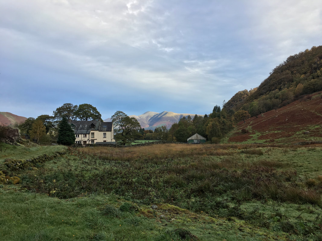
Looking back to Troutdale Cottages with Skiddaw distant
The route crosses an unnamed beck to then begin the climb up to King's How. This is a lovely walk and one which Wainwright described as "exquisitely lovely (in Autumn, a golden ladder to heaven) and simply must not be missed" (Grange Fell 3).
Crossing Long Moss with King's How ahead
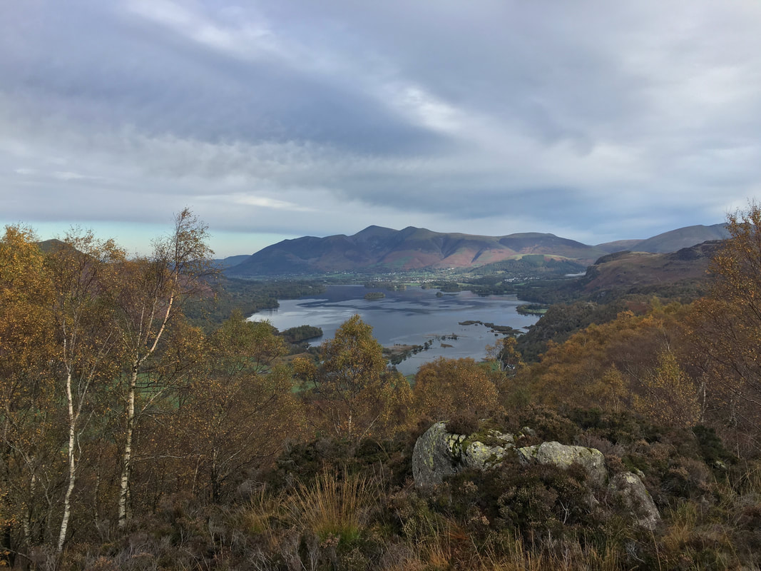
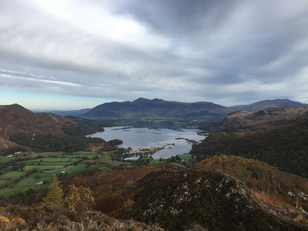
From near the summit of King's How a wonderful vista over Derwent Water to Skiddaw is revealed.
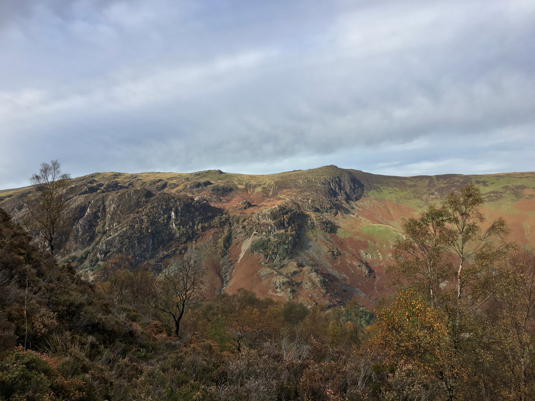
Looking across Borrowdale to High Spy from near the summit of King's How
Castle Crag in the foreground. It may be the smallest of all the Wainwright's but climbing it is a wonderful day out. In the far left distance can be seen Great End & Scafell Pike with Great Gable just left of centre.
With Fudge on the heathery summit of King's How with the imposing High Spy to the rear
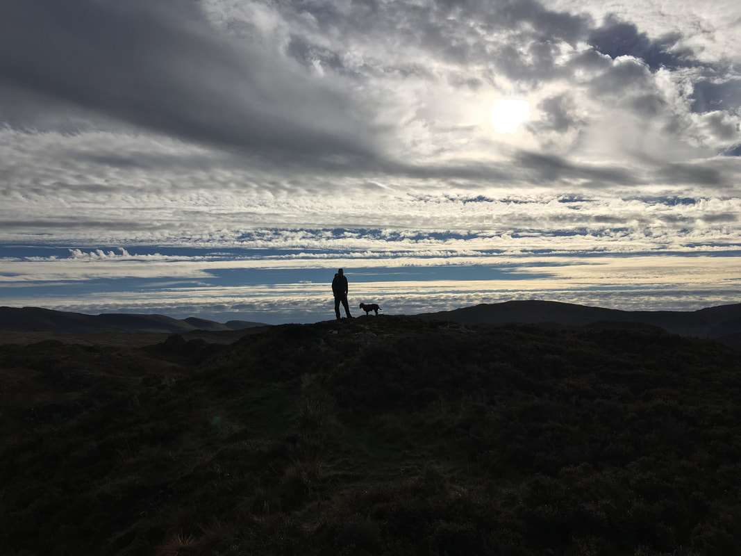
Whilst this part of the day was overcast it still granted the odd photographic opportunity on King's How summit. Apparently King's How is so named because when King Edward VII died in 1910 his sister, Princess Louise purchased Grange Fell. There is a plaque commemorating this event on the summit but I only found out about its existence after the walk was completed. Gives me an excuse to go back up there - not that I need one!
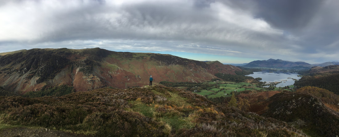
A lovely panorama on King's How
Another shot of Derwent Water from King's How with Catbells on the left, Skiddaw centre and Blencathra to the right
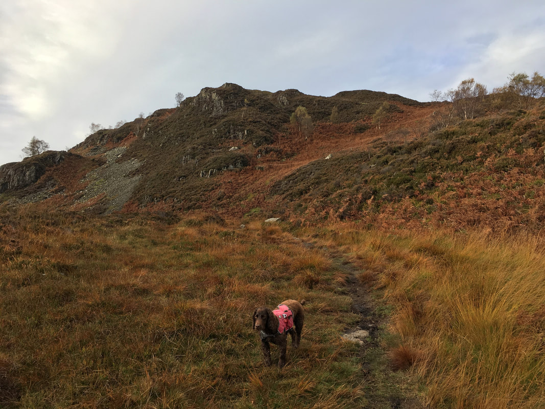
Looking back to King's How over Long Moss as we head to Brund Fell, the highest point & recognised summit of Grange Fell.
King's How from the ascent of Brund Fell
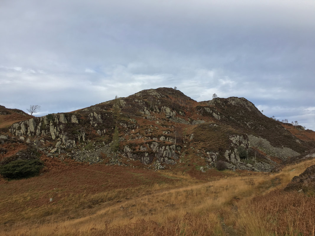
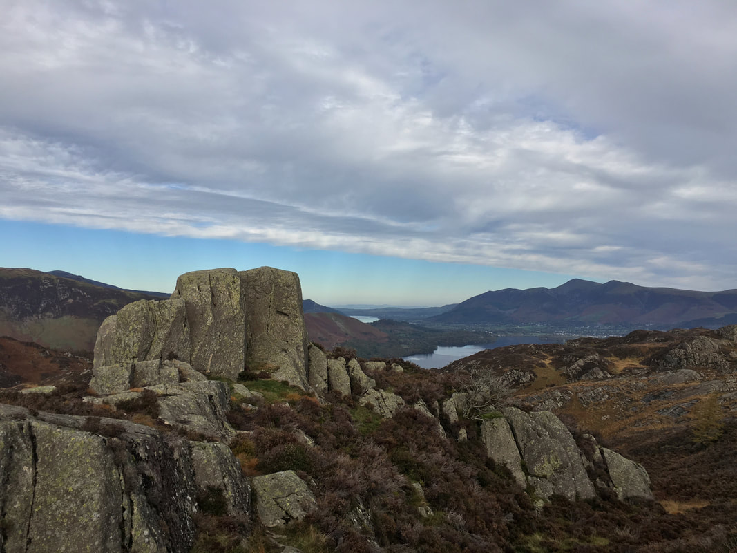
The rocky tor that adorns the south top of Brund Fell
The south top of Brund Fell
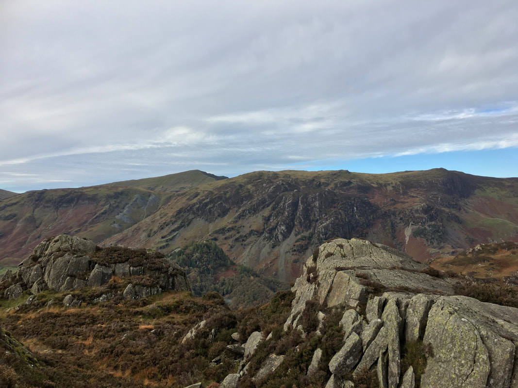
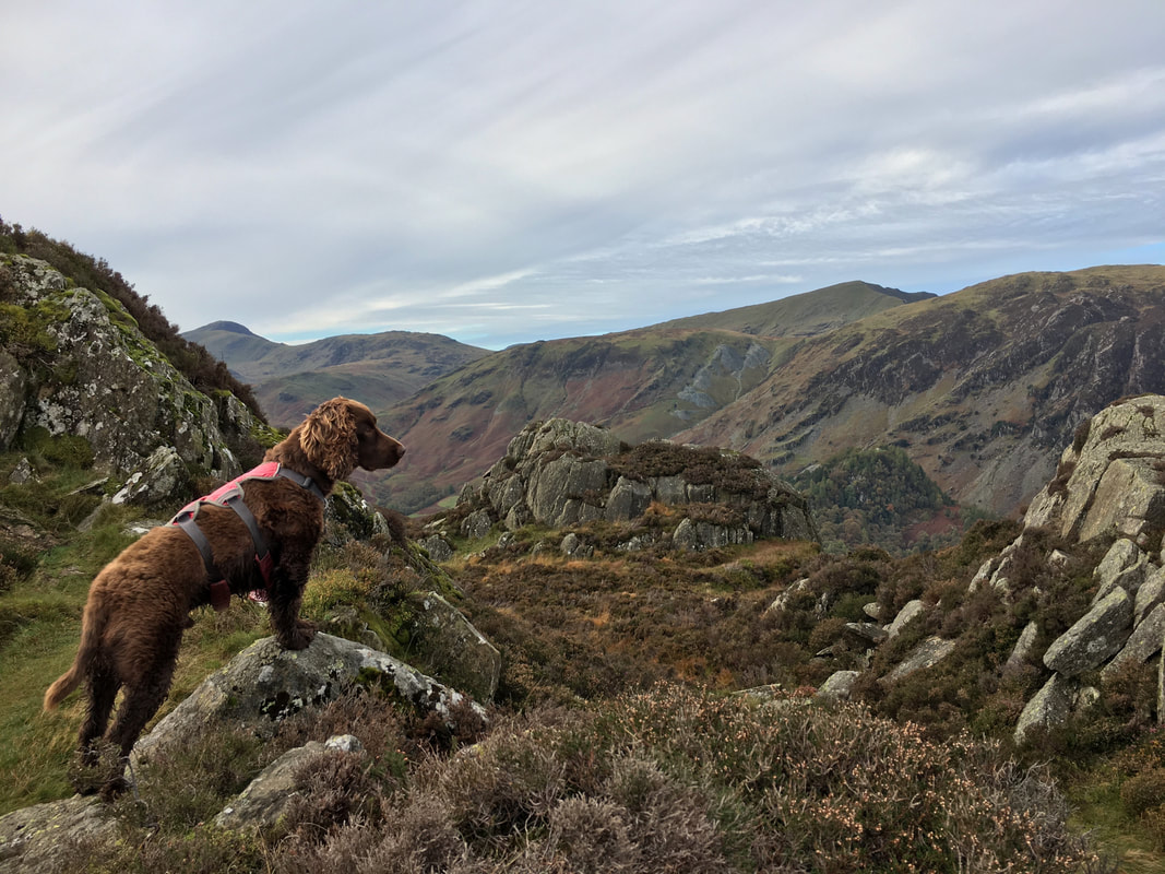
Dale Head & High Spy from Brund Fell's south top
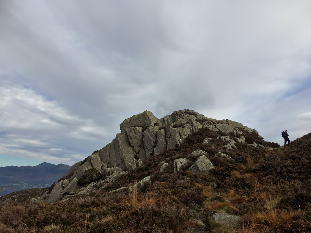
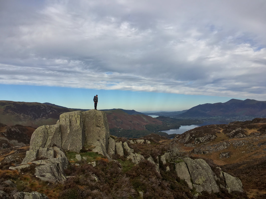
On the top of the south summit of Brund Fell. I didn't climb up the face of the rocky tor - there is an easy way up around the back!
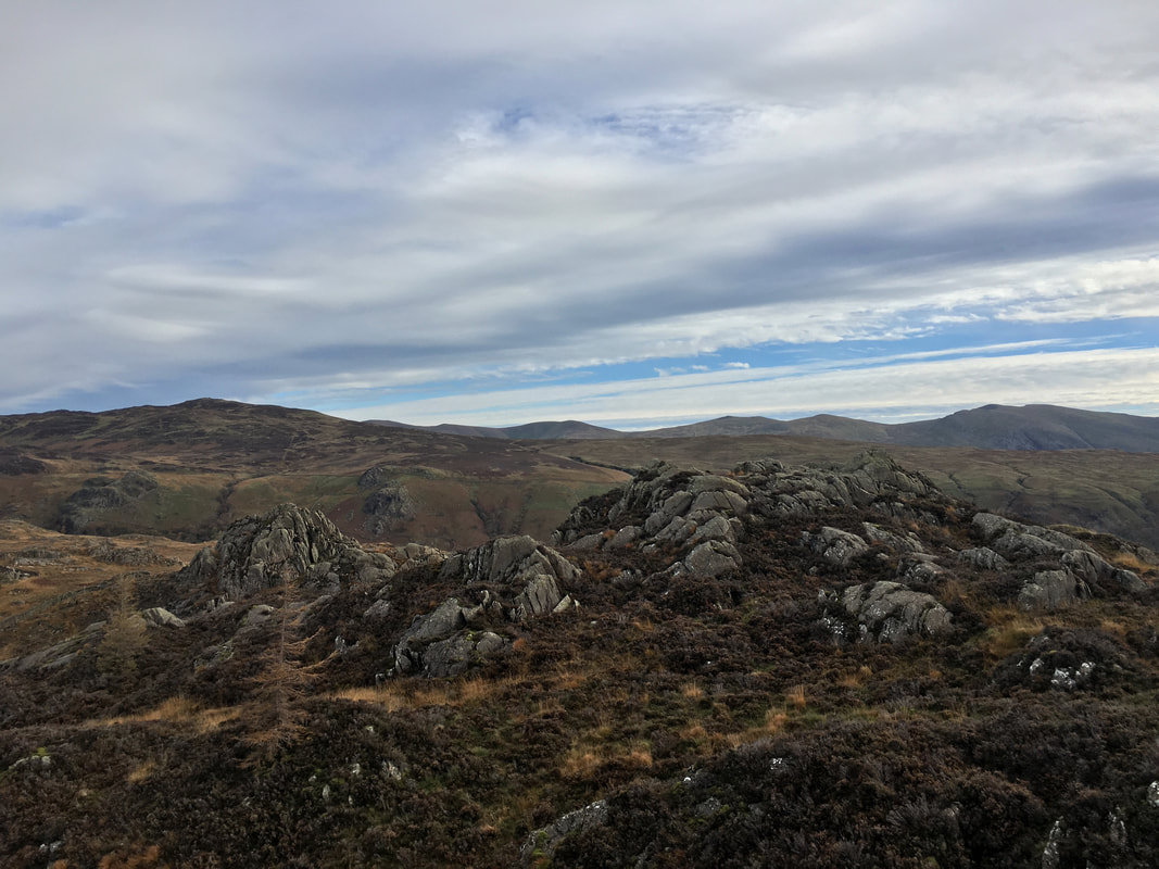
The north top summit of Brund Fell and the highest point on Grange Fell
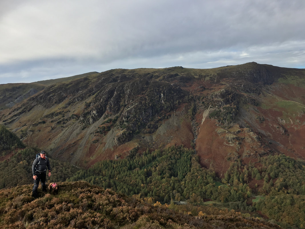
Fudge in "Lakeland fell master catalogue pose".....................
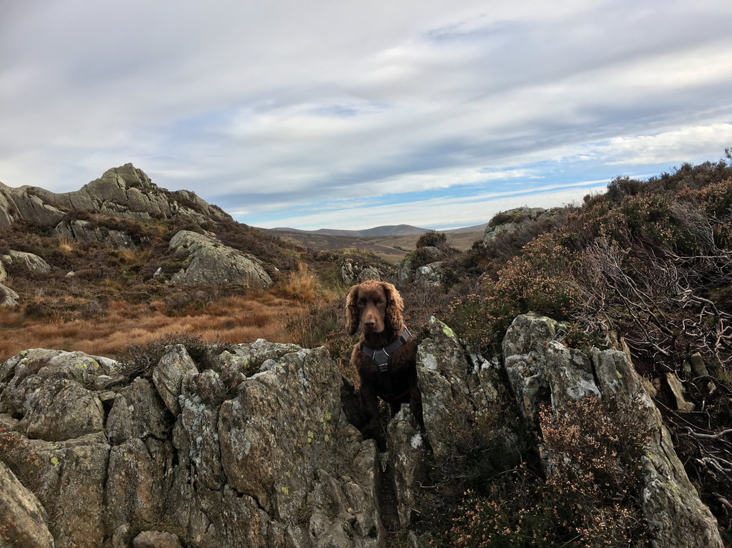
............ and full frontal with Jopplety How in the background
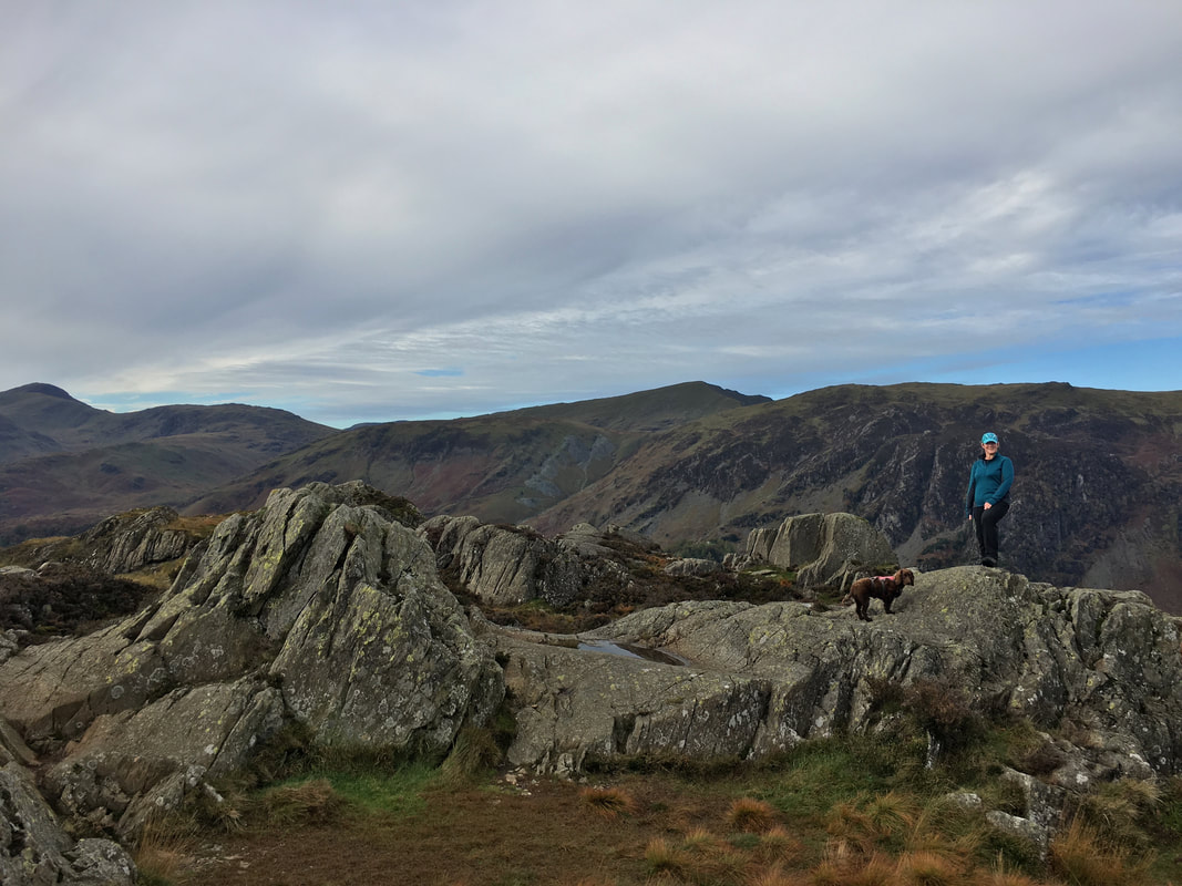
However there is always a pic with his Mum which is no doubt treat related in order to sit still.
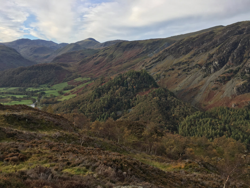
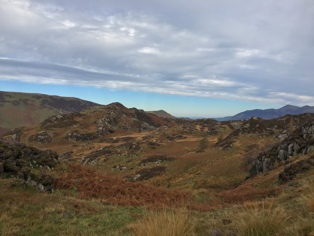
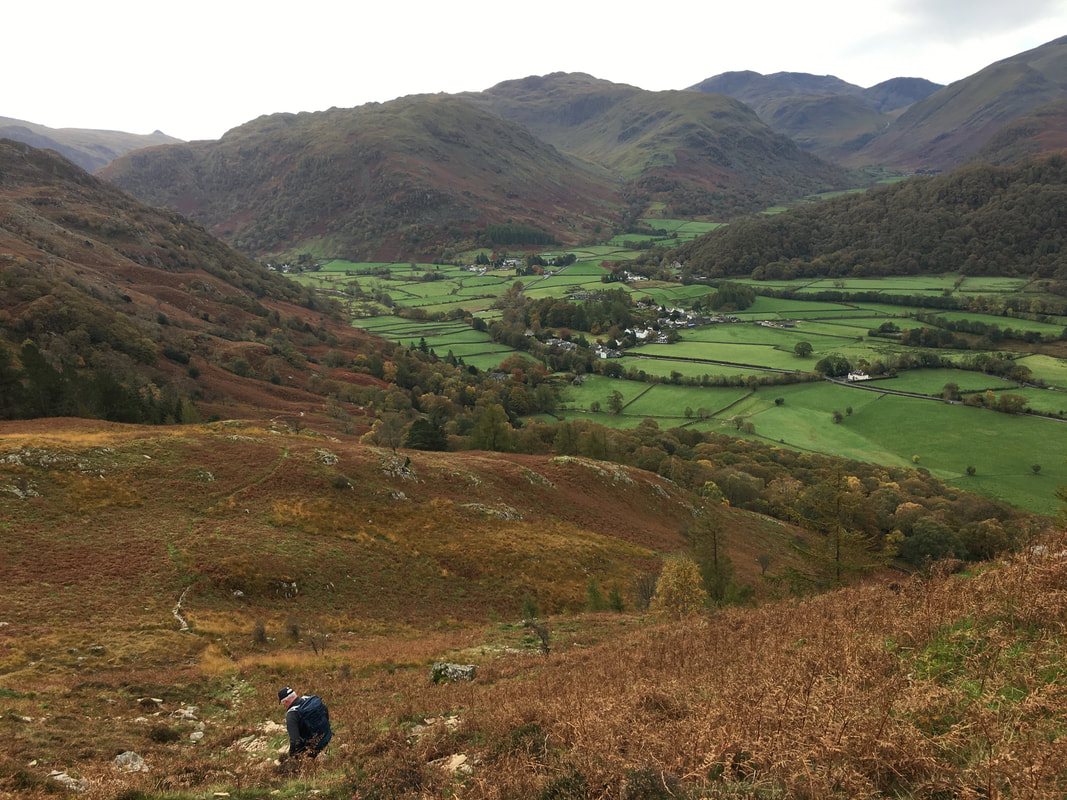
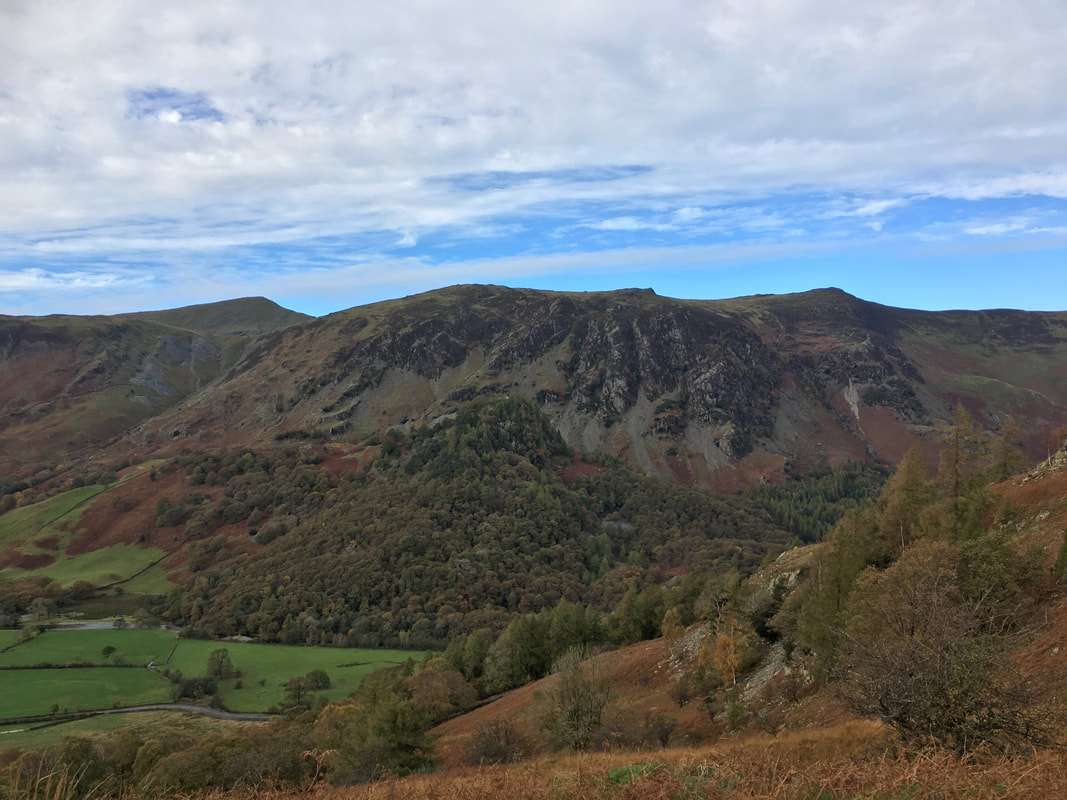
From Brund Fell the route drops down towards Frith Wood which is to the right. The village of Rosthwaite is below with its fell of the same name centre left.
Dale Head, High Spy & Castle Crag from the descent to Frith Wood
Once through Frith Wood the path descends over Red Brow towards the road. High Spy & Maiden Moor provide the backdrop.
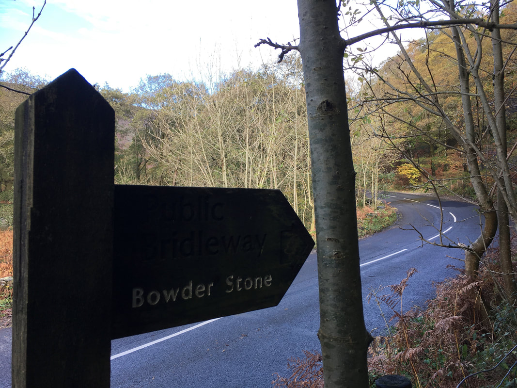
Reaching the road a sign points the way to our next objective
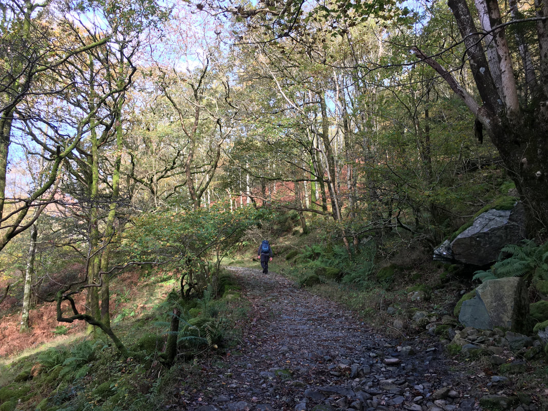
The route heads along a delightful woodland path towards the Bowder Stone
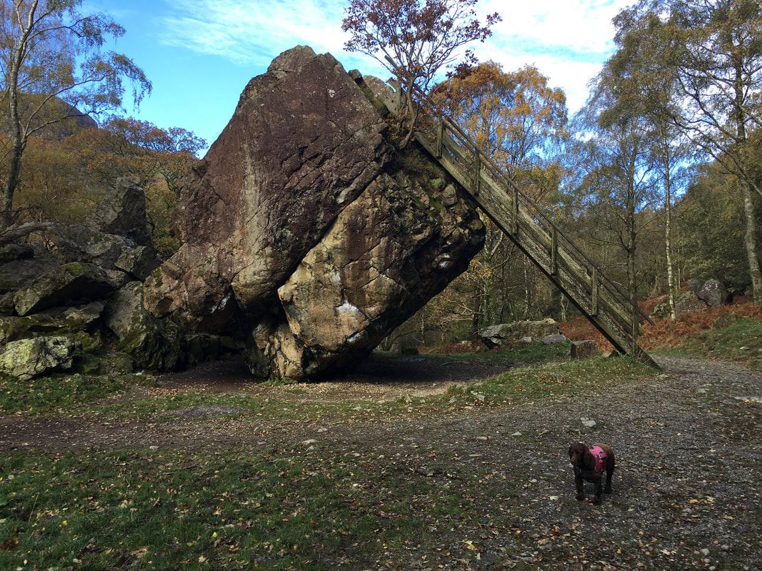
The Bowder Stone in the "Jaws of Borrowdale". Don't bark too loudly Fudge or you will have it over.
The jury is out as to how this massive 2000 ton lump of rock actually came to sit where it is. Was it set down by glacial meltdown or did it simply fall as a result of rockfall from Bowder Crag which is 200m above the stone? Geological analysis has revealed that it was more than likely the latter as no evidence exists of any glacial abrasions or scratching on the stone itself.
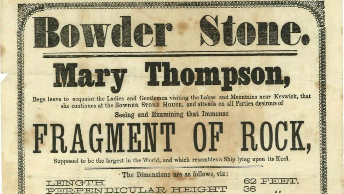
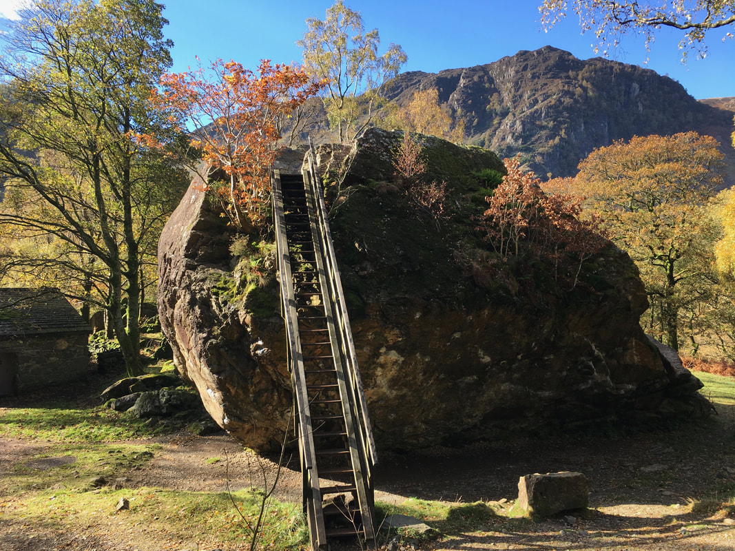
It is now a well known tourist attraction having been established as one by the eccentric & very wealthy Joseph Pocklington in 1798. His approach to the Bowder Stone was to set up ladder for tourists to stand on the summit, build a mock hermitage nearby and erect a ‘druicial’ standing stone. Nearby he also built a cottage where he installed an old woman whose duty was to ‘lend the place quaint atmosphere’. The advert from 1859 is below.
I would love to have been a fly on the wall at the job interview
(Advert courtesy of the National Trust)
(Advert courtesy of the National Trust)
The wooden ladder which enables access to the Bowder Stone. In 2019 the ladder was considered unsafe and was replaced with a metal one.
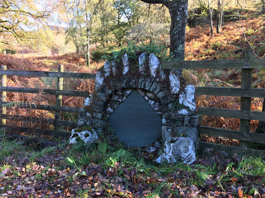
From the Bowder Stone the route passes through the Car Park and drops down to the B5289 passing the Hodgson Memorial & water troughs.
William Hodgson was a local artist of considerable promise who died at an early age. It is thought that the adjacent troughs were for the horses that travelled this way. The inscription on the memorial reads:
IN MEMORIAM
W HODGSON
He prayeth well who loveth well
Both man and bird and beast
For the dear God who loveth us
He made and loveth all.
SEPTEMBER
1878
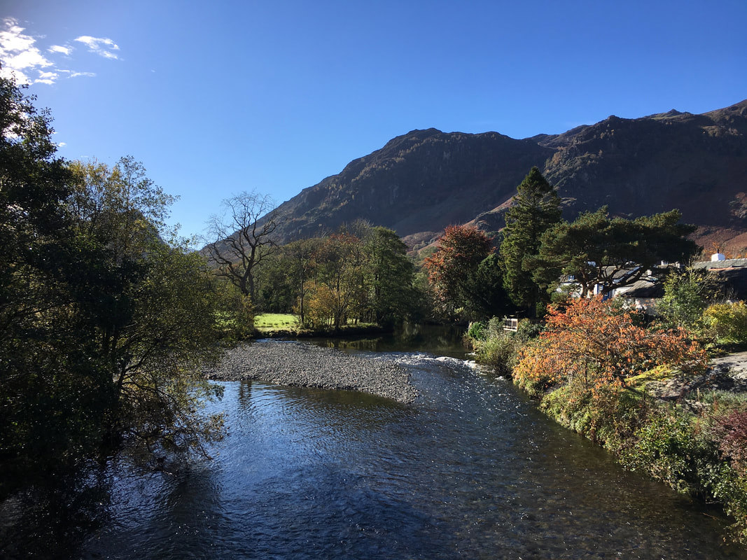
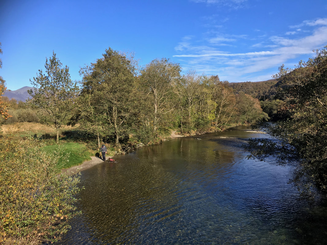
The River Derwent flowing through the village of Grange - and the sun has come out.
Fudge's reward at the end of the walk was a splash about in the River Derwent
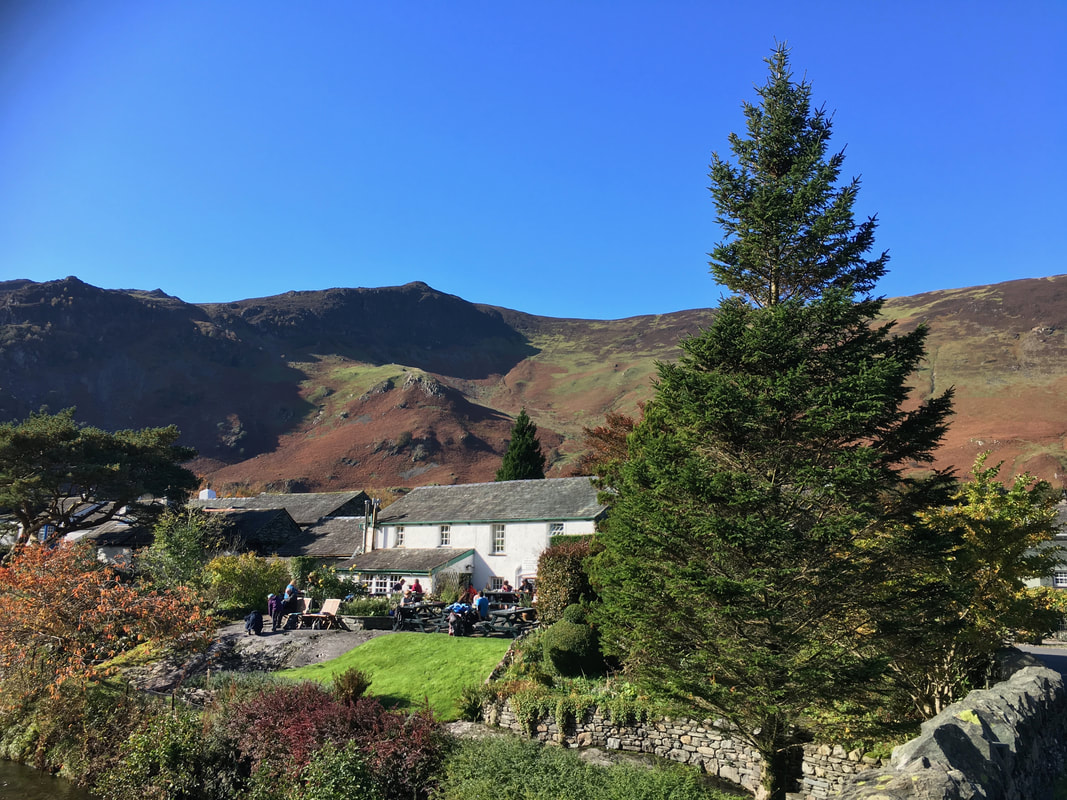
Grange
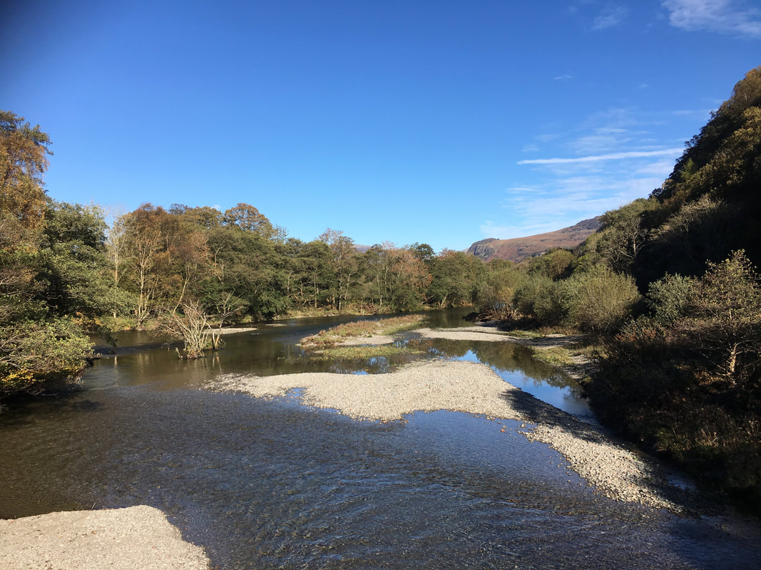
The River Derwent from Grange Bridge - a wonderful spot
