Central Carneddau - Thursday 7 October 2021
Route
Bont Newydd - Coedydd Aber Nature Reserve - Llwytmor - Foel-fras - Carnedd Gwenllian (Carnedd Uchaf) - Foel Grach - Yr Aryg - Bera Mawr - Bera Bach - Drosgl - Gyrn Wigau - Aber Falls - Coedydd Aber - Bont Newydd
Parking
Aber Falls Car Park (Charge) which is 1/2 a mile south east from the village of Abergwyngregyn. The Grid Reference is SH662720 and the nearest postcode is LL33 0LP.
Mileage
14.4 miles
Terrain
Forest tracks and mountain paths however much of this walk is over rough and pathless terrain therefore the ability to navigate in low cloud is essential. The section coming down Afon Gam to the west of Aber Falls is steep and pathless.
Weather
Low cloud and strong winds with moderate visibility.
Time Taken
9hrs
Total Ascent
4107ft (1252m)
Map
OL17 Snowdon and the Conwy Valley
Walkers
Dave, Angie & Fudge with Lee & Karen James
|
GPX File
|
| ||
If the above GPX file fails to download or presents itself as an XML file once downloaded then please feel free to contact me and I will send you the GPX file via e-mail.
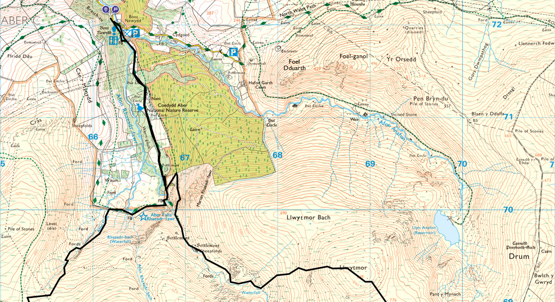
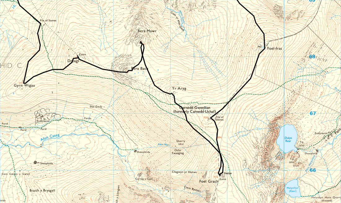
Route Map
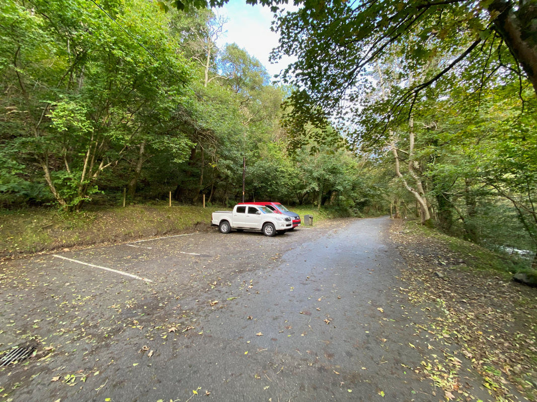
The lower Car Park for Aber Falls which is near Bont Newydd Bridge. There is another Car Park which is reached by crossing the bridge and there is also a free Car Park before reaching the village of Abergwyngregyn. Turn off the A55 at Junction 13 signposted Abergwyngregyn and then follow the "P" signs to the free Car Park on the left rather than follow the road up through the village.
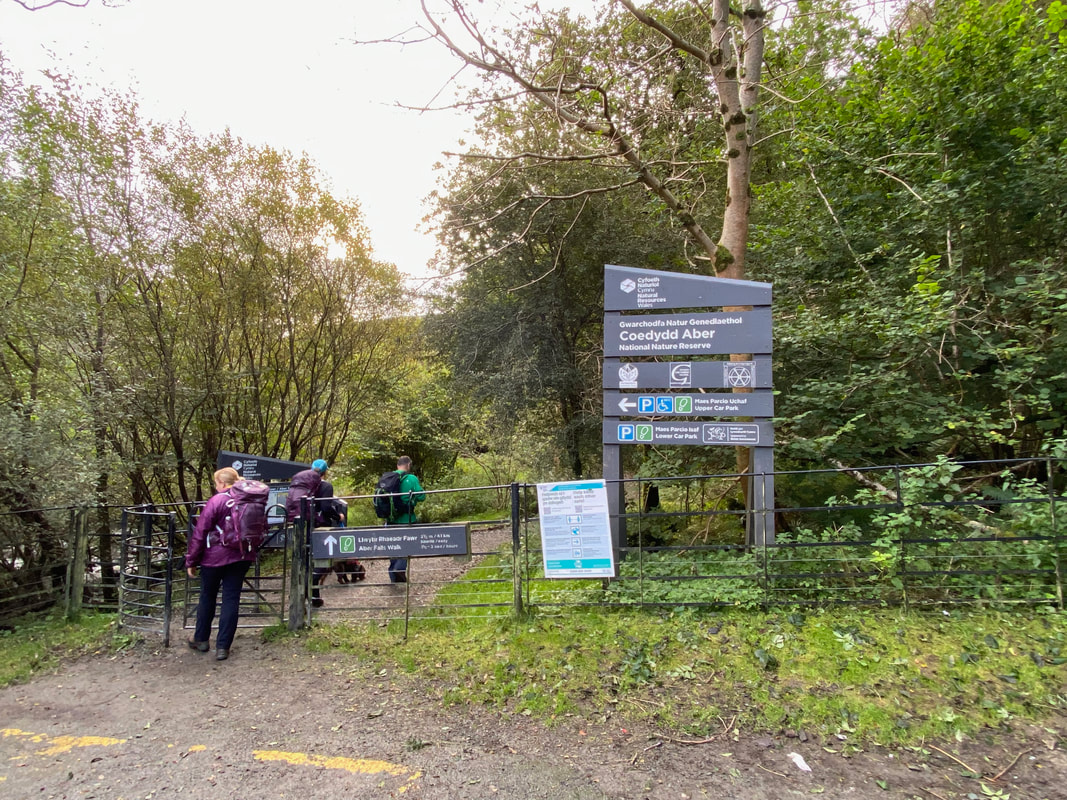
From the Car Park the walk enters the Coedydd Aber Nature Reserve with Bont Newydd Bridge out of shot to the left
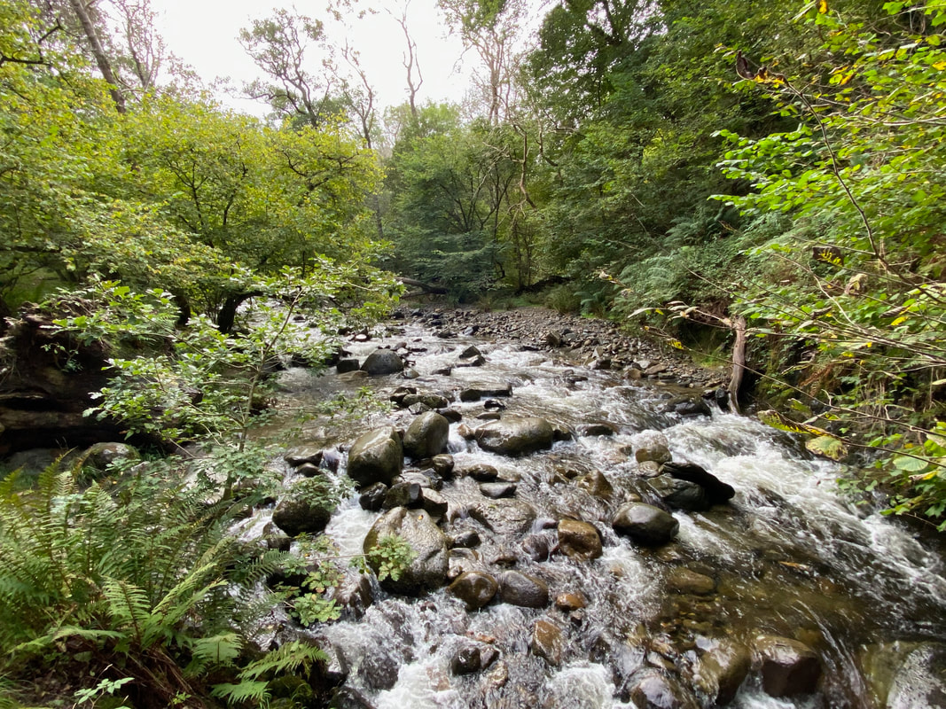
The Afon Rhaeadr-Fawr from Bont Newydd
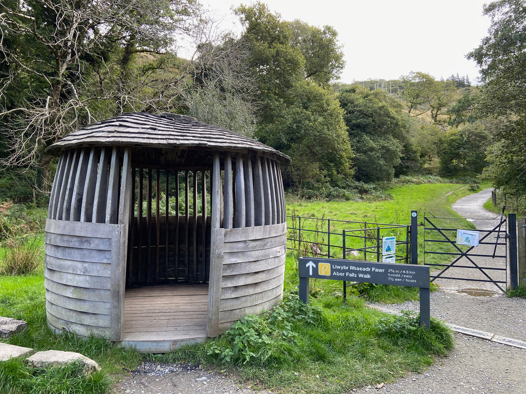
After crossing a footbridge and passing a small wooden hut, the route heads along a good path to the east of the river
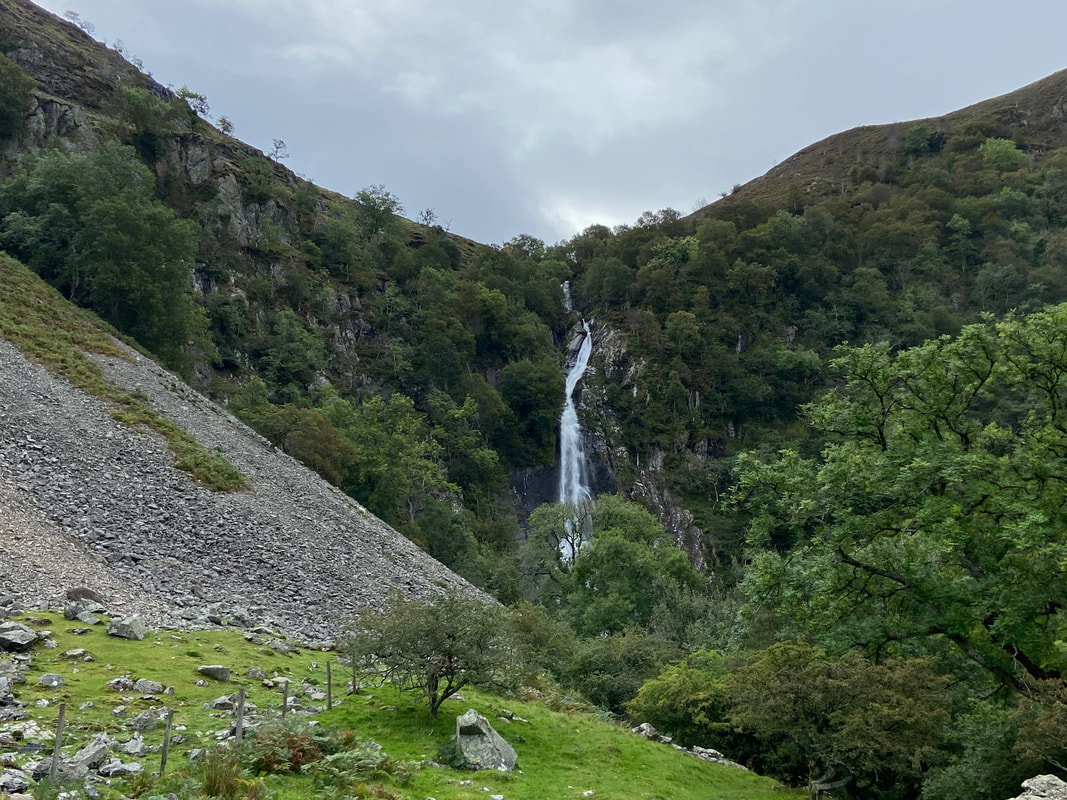
As we head towards the falls Marian Rhaeadr-fawr towers above
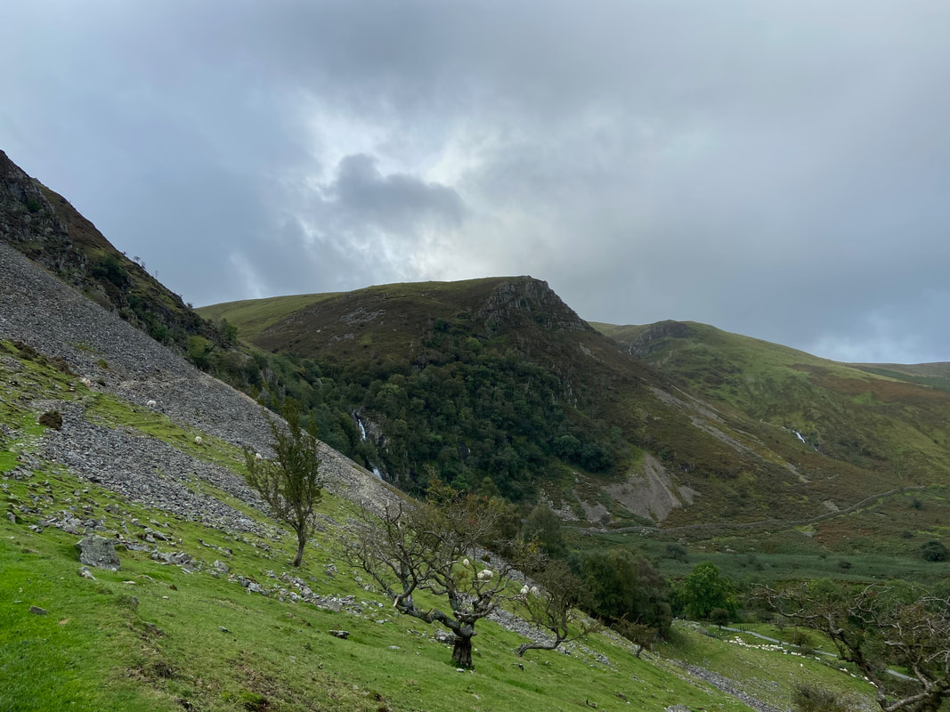
The outward route does not visit the falls but turns up a slope to the left and switches back on an upper path above the falls
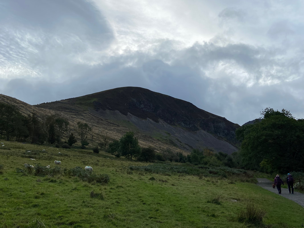
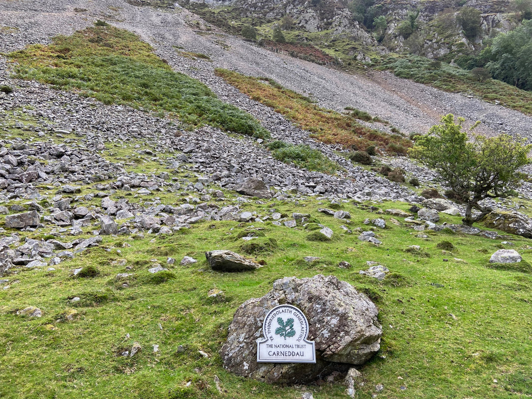
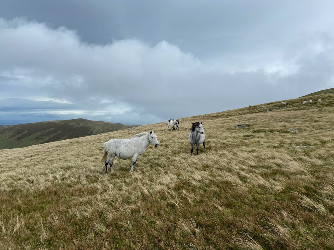
The sloping path passes the National Trust sign for entering the Carneddau which translates as "the cairns". The Carneddau are the largest continuous stretch of mountain land over 2,500 feet in England & Wales. They are not as rugged as the Snowdon massif or the Glyderau but are impressive nevertheless. The Carneddau range is home to the only population of wild horses in the United Kingdom - would we see them today I wonder??
Aber Falls with Bera Mawr in the centre of shot and Drosgl to the right. Our path can be seen on the left transiting across the scree slopes of Marian Rhaeadr-fawr.
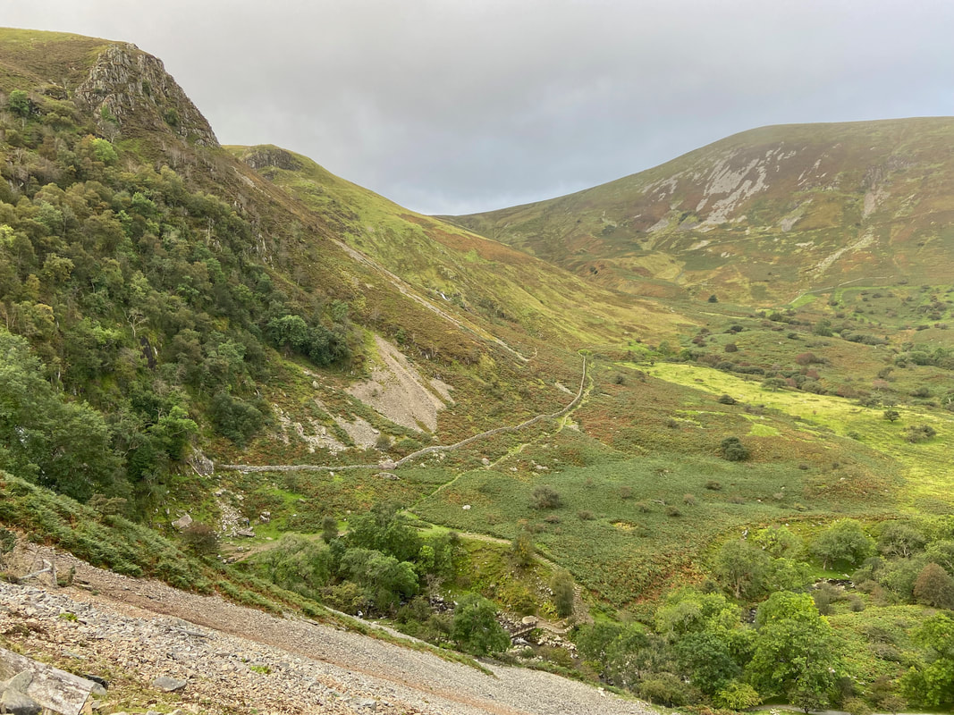
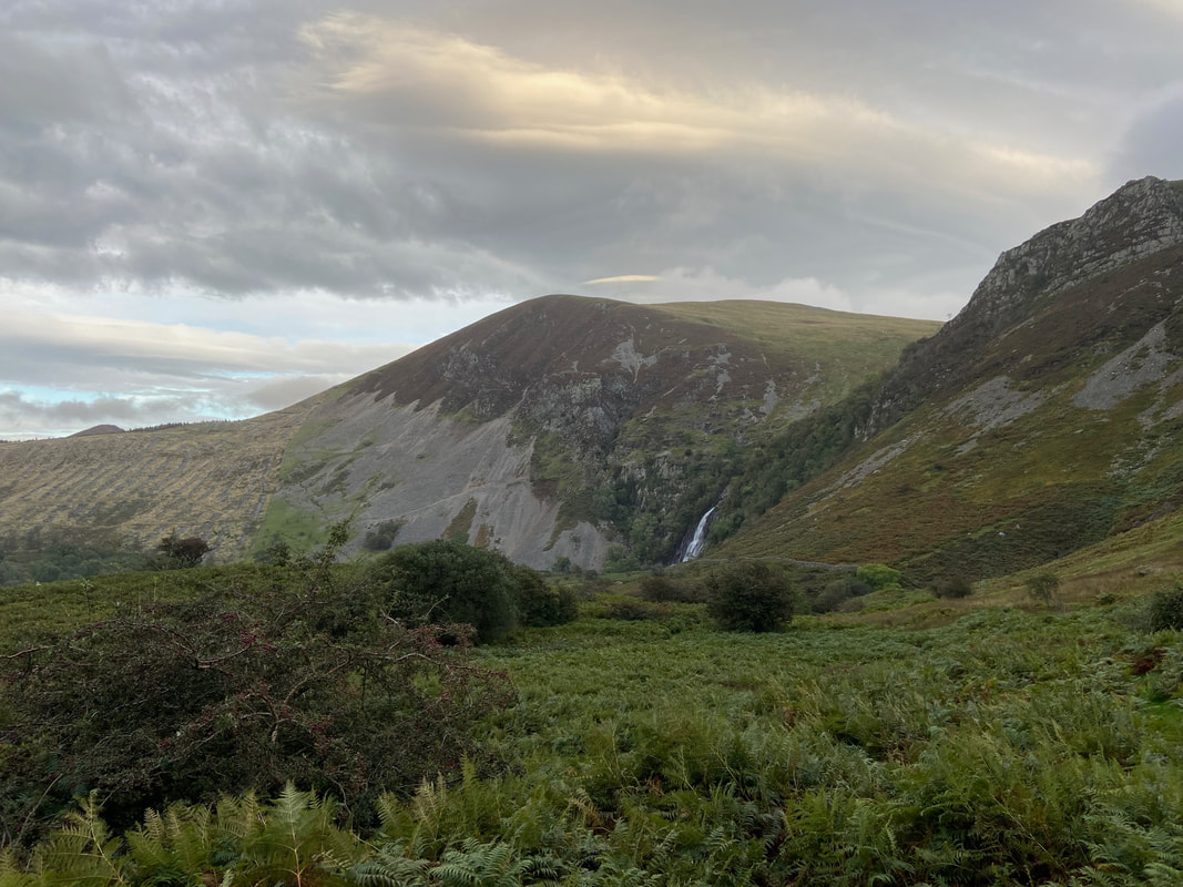
Looking across at our return route which would take us to the base of Aber Falls - the mountain to the right is Moel Wnion
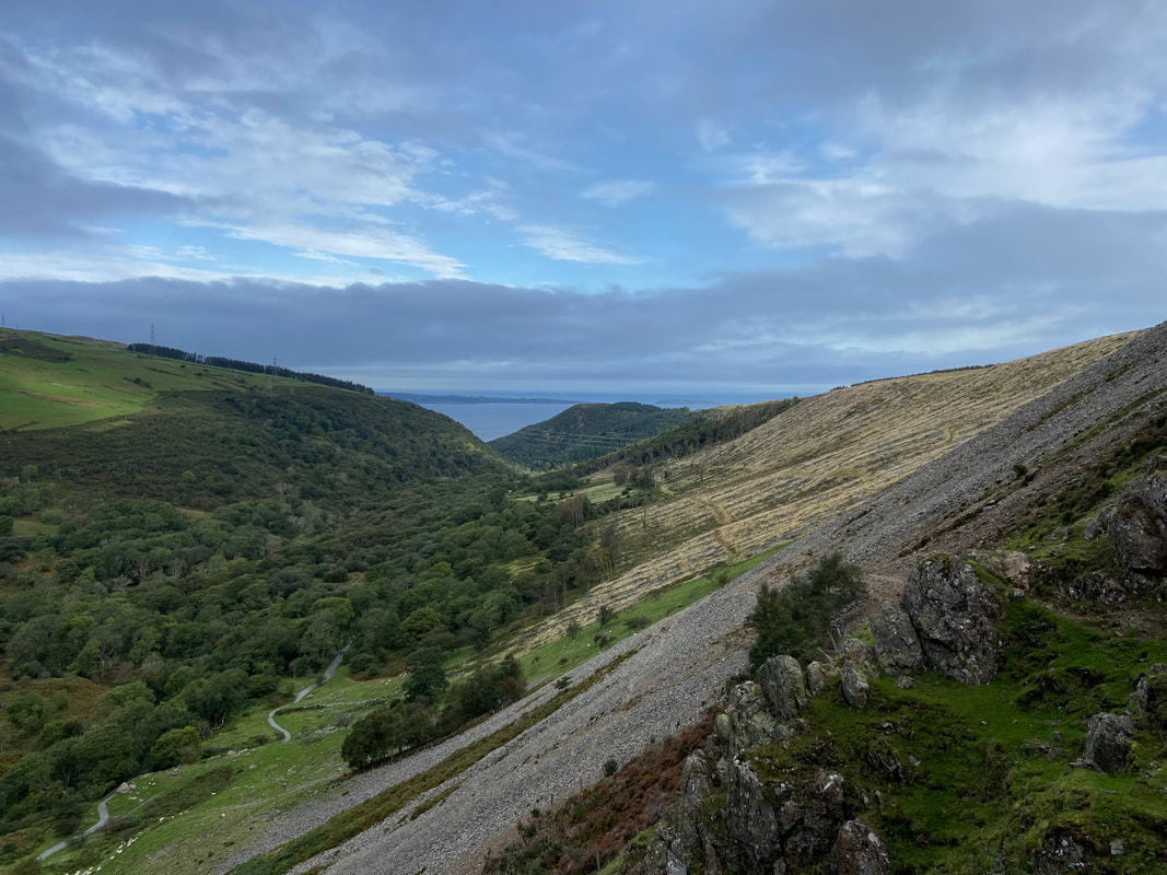
Just after crossing a large scree slope we took the opportunity to look back towards the start. Our return path to the Car Park can be seen to the left with the eastern tip of Anglesey (Ynys Mon) centre distant. Puffin Island can just about be seen centre right.
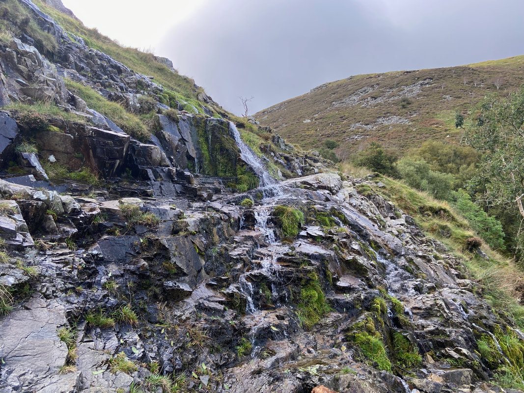
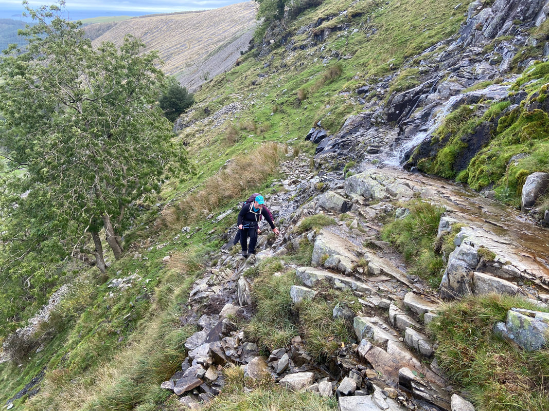
Water cascades over the path giving the opportunity for some tricky light scrambling over rock steps
Angie negotiates the wet rock scramble
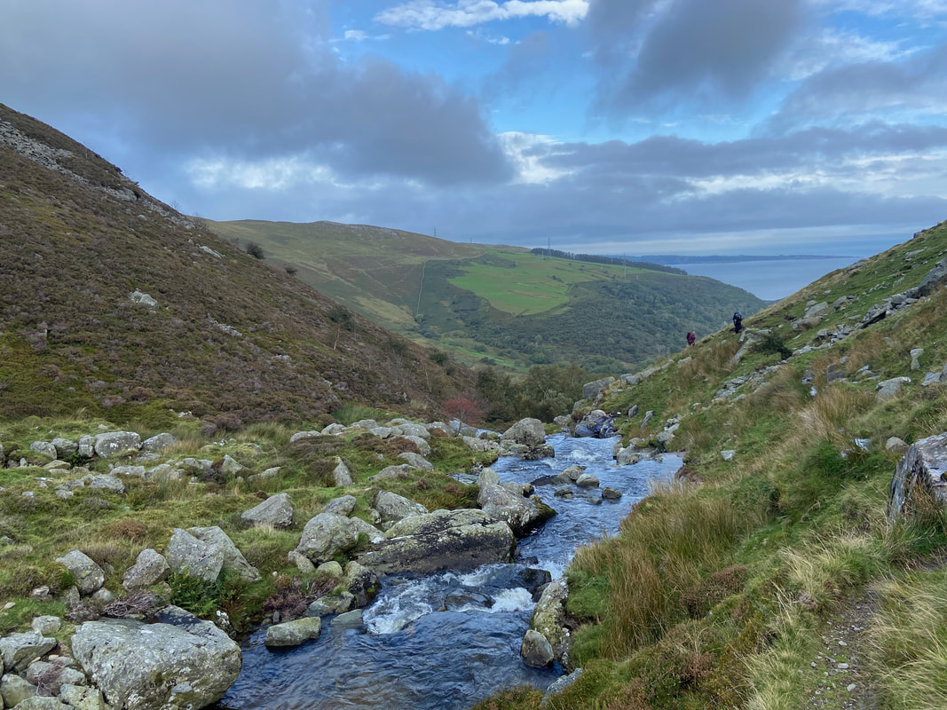
The faint path keeps to the left on the eastern side of the Afon Goch
Angie & Karen make their way along the faint path alongside the Afon Goch
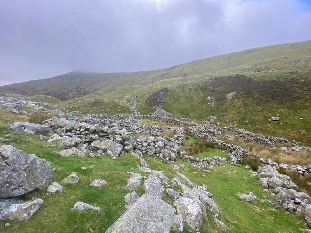
The route passes several large sheepfolds and an old settlement
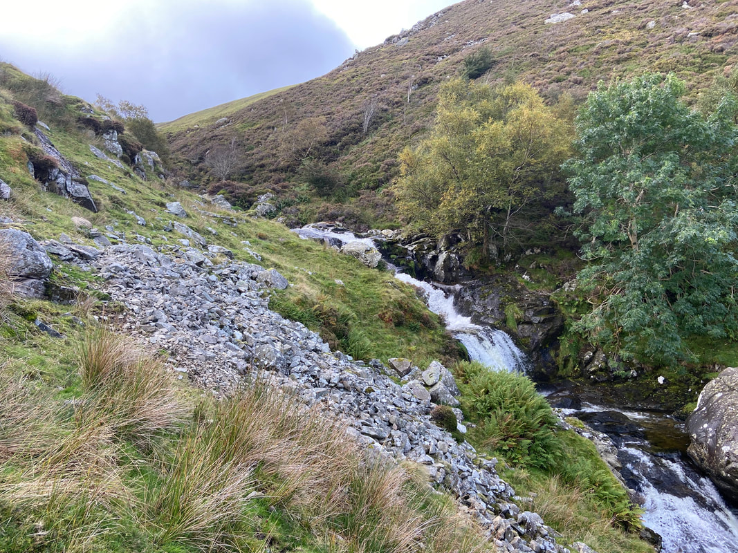
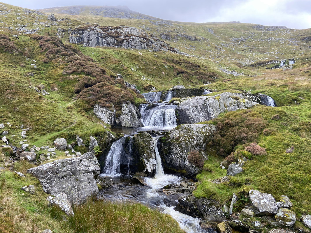
The Afon Goch provided us with lots of lovely cascades & waterfalls to view as we ascended
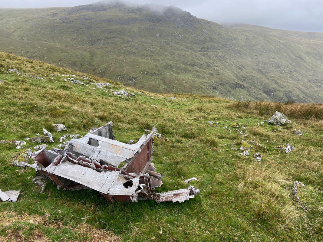
Aircraft wreckage of Blackburn Botha L6202 on Llwytmor. These few pieces are all that remain of the wreckage of Blackburn Botha L6202 of 11RS Hooton Park, Wirral, which crashed into the mountain in cloud on 28th August 1943 with the loss of all 4 crewmen. The Blackburn Botha, a general reconnaissance and torpedo bomber was desperately underpowered - it needed 24 min to climb 15,000 ft therefore following a series of losses in 1940 it was withdrawn from active service and relegated to the role of a trainer for navigators, radio operators and gunners.
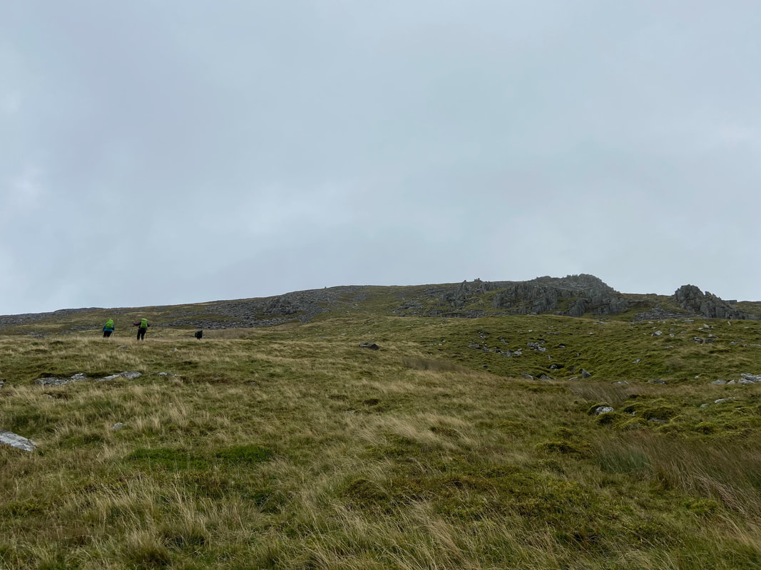
Continuing to climb we were now on a rough path which passed to the left of crags
At last the summit of Llwytmor comes into view
Angie & Karen approaching the summit of Llwytmor - by now visibility was deteriorating somewhat
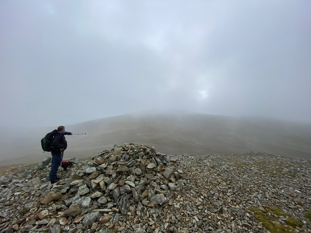
The summit of Llwytmor (Big Grey Hill). Lee points the way to our next summit of Foel-Fras - either that or he is letting me know the place where he dropped a 1985 2p piece the last time he was up here.
It was a tad blowy up on the summit of Llwytmor
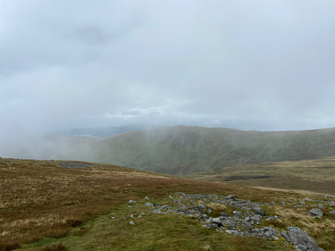
Looking across to Drum from Llwytmor
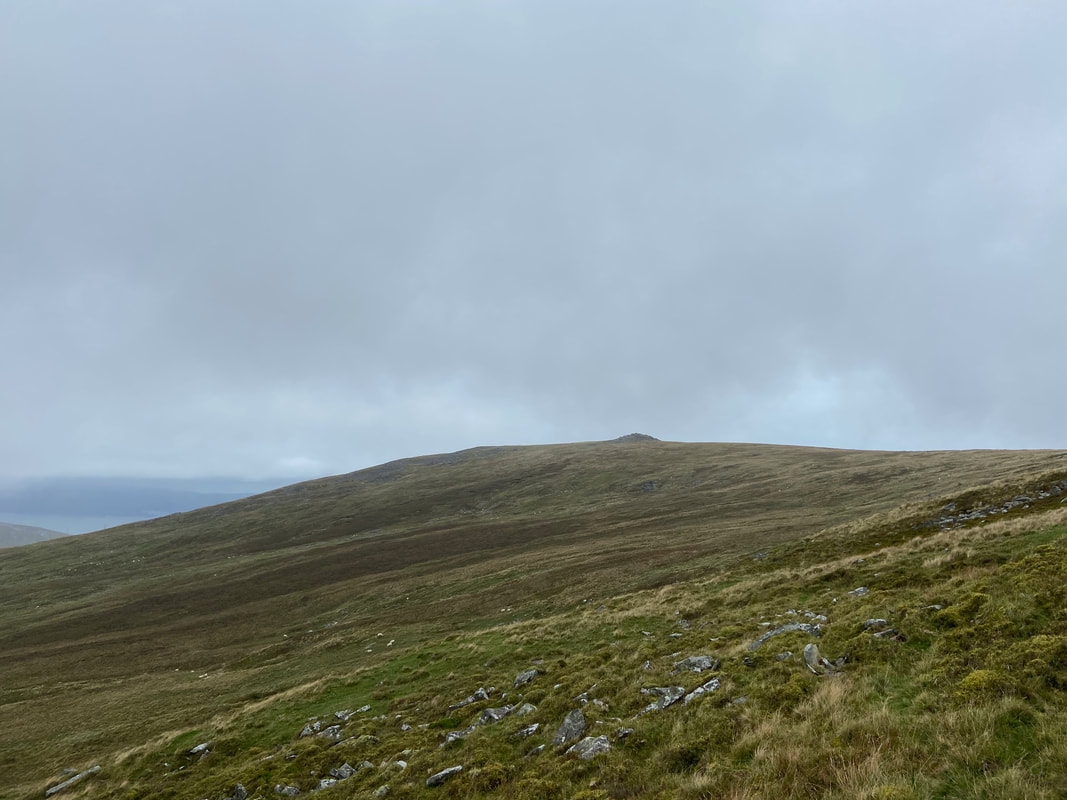
Heading for Foel-fras from Llwytmor. The way heads over on an intermittent grassy path to a peaty col to then climb approximately 500ft to the summit plateau.
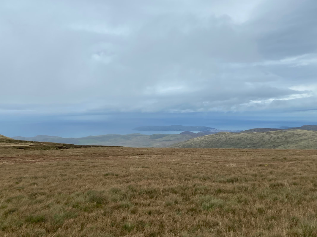
A hazy view over to Llandudno and the Great Orme
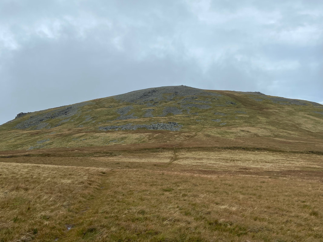
Approaching Foel-fras
And here they are - as stated earlier these are apparently the only population of wild horses in the United Kingdom
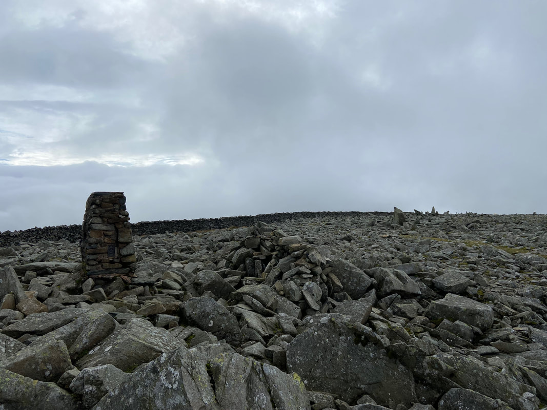
The Trig Point near the summit of Foel-fras
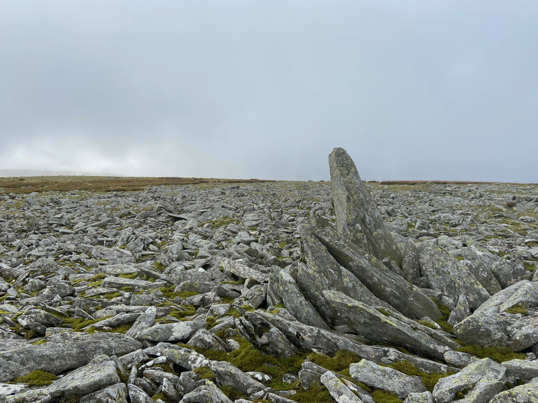
The summit of Foel-fras (Prominent Bare Hill) is a 2m high rock spike 70m south west of the Trig Point
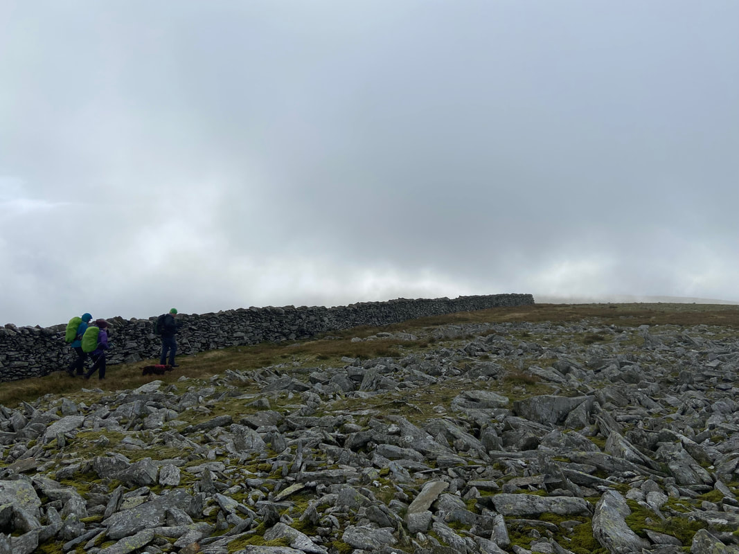
From the summit of Foel-fras the path handrails a wall for hundred yards or so to then head for Carnedd Gwenllian
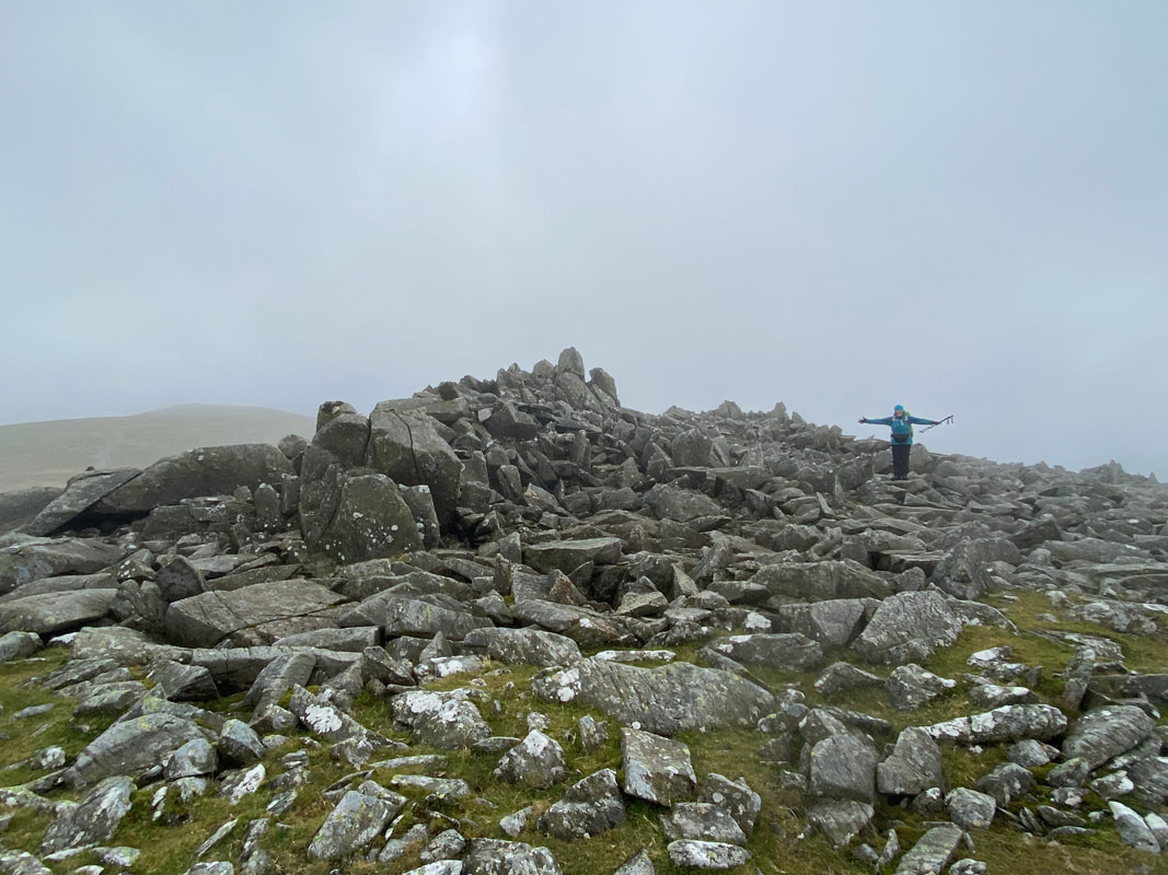
The summit of Carnedd Gwenllian
Until recently, Carnedd Gwenllian was called Carnedd Uchaf. The change came about following a campaign by the Princess Gwenllian Society to have the name of this peak changed. Gwenllian of Wales was the only daughter of Llywelyn ap Gruffudd (who lends his name to nearby Carnedd Llewelyn). In 2009 the summit was officially renamed Carnedd Gwenllian and the Ordnance Survey has agreed to use the dual name Carnedd Uchaf (Highest Cairn) & Carnedd Gwenllian (Gwenllian Cairn) on its maps from 2010 onwards.
Until recently, Carnedd Gwenllian was called Carnedd Uchaf. The change came about following a campaign by the Princess Gwenllian Society to have the name of this peak changed. Gwenllian of Wales was the only daughter of Llywelyn ap Gruffudd (who lends his name to nearby Carnedd Llewelyn). In 2009 the summit was officially renamed Carnedd Gwenllian and the Ordnance Survey has agreed to use the dual name Carnedd Uchaf (Highest Cairn) & Carnedd Gwenllian (Gwenllian Cairn) on its maps from 2010 onwards.
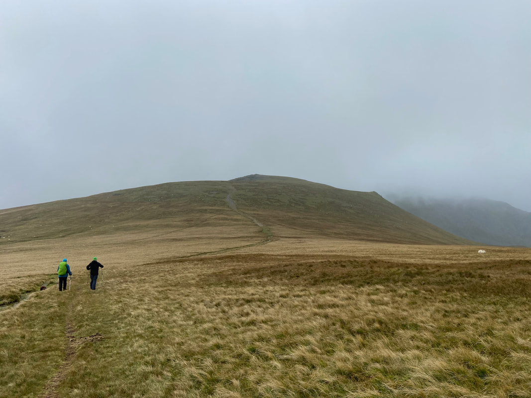
From Carnedd Gwenllian we headed for Foel Grach
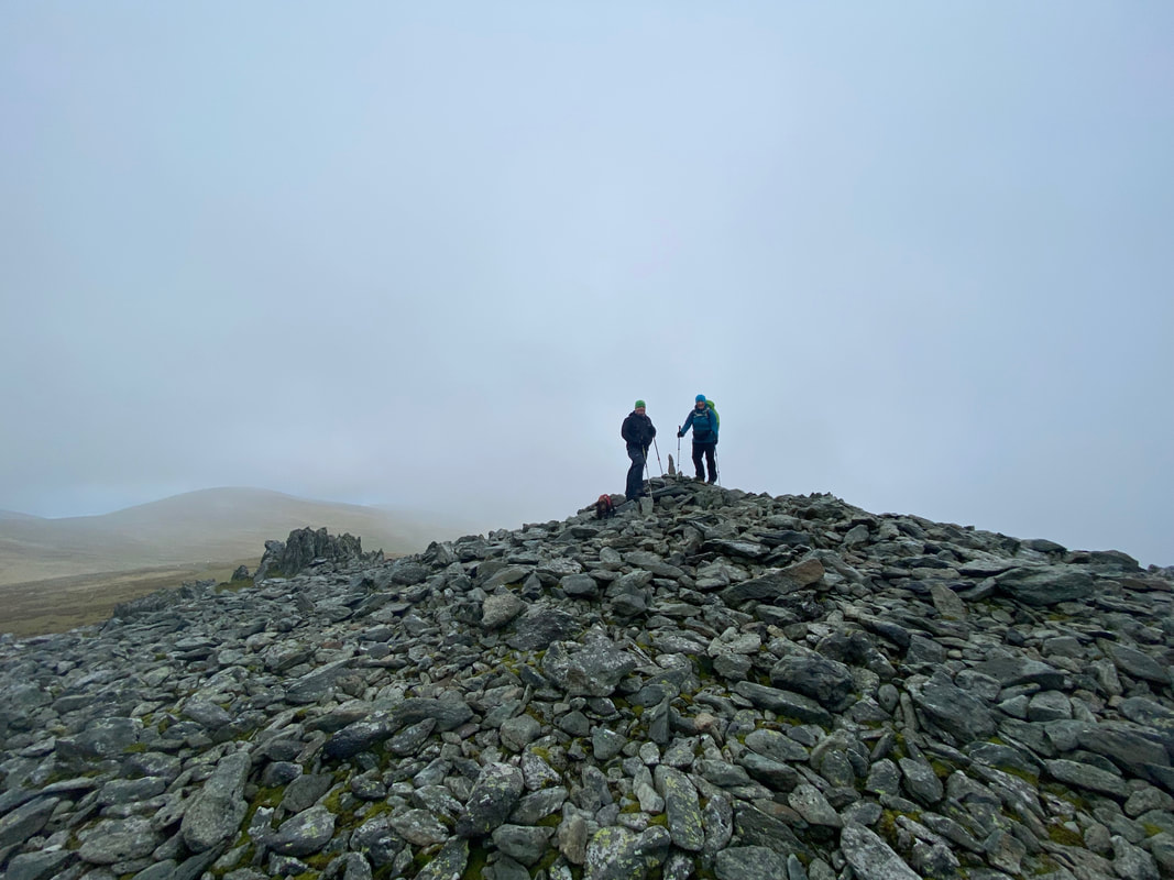
Angie & Lee on the summit of Foel Grach (Scabby Bare Hill)
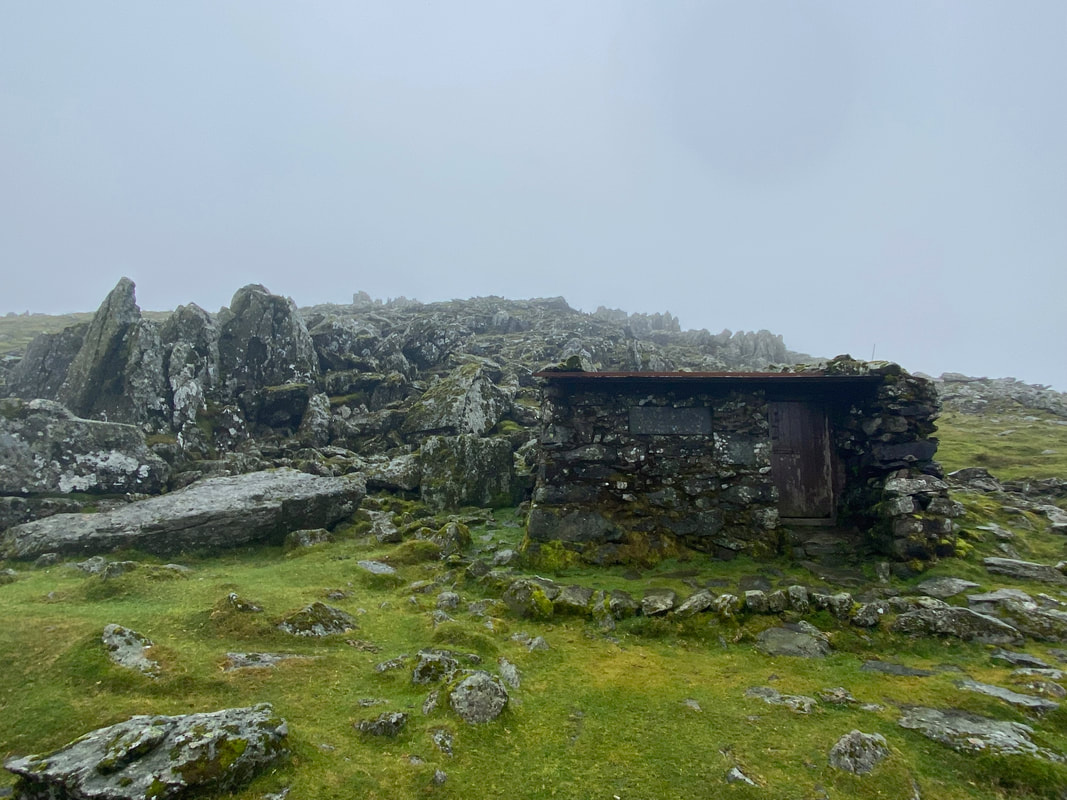
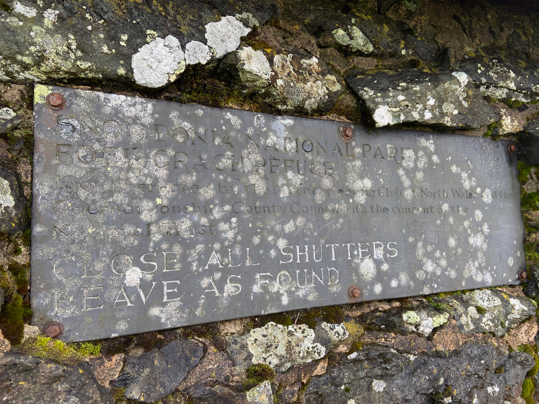
Just below the summit of Foel Grach is a mountain refuge hut. As we arrived we had a quick look inside to find a group of prospective Mountain Leaders being briefed as to the next phase of their training. The refuge itself was built as an emergency shelter around 1964 by the County Council and Clwb Mynydda Gogledd Cymru (Mountaineering Club of North Wales) with the blessing of the National Trust. It used to have a notice by the door saying that you should only use it in a genuine emergency and should not be used to spend the night in. As can be seen in the picture below, the notice has been updated to remove the overnight restriction but looking inside you would need to be pretty desperate to need to use it - also considering that there is a much better Bothy at Dulyn roughly a mile to the east.
The slate notice outside the Foel Grach refuge
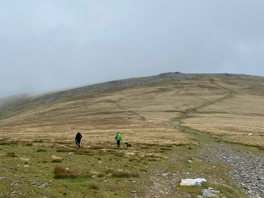
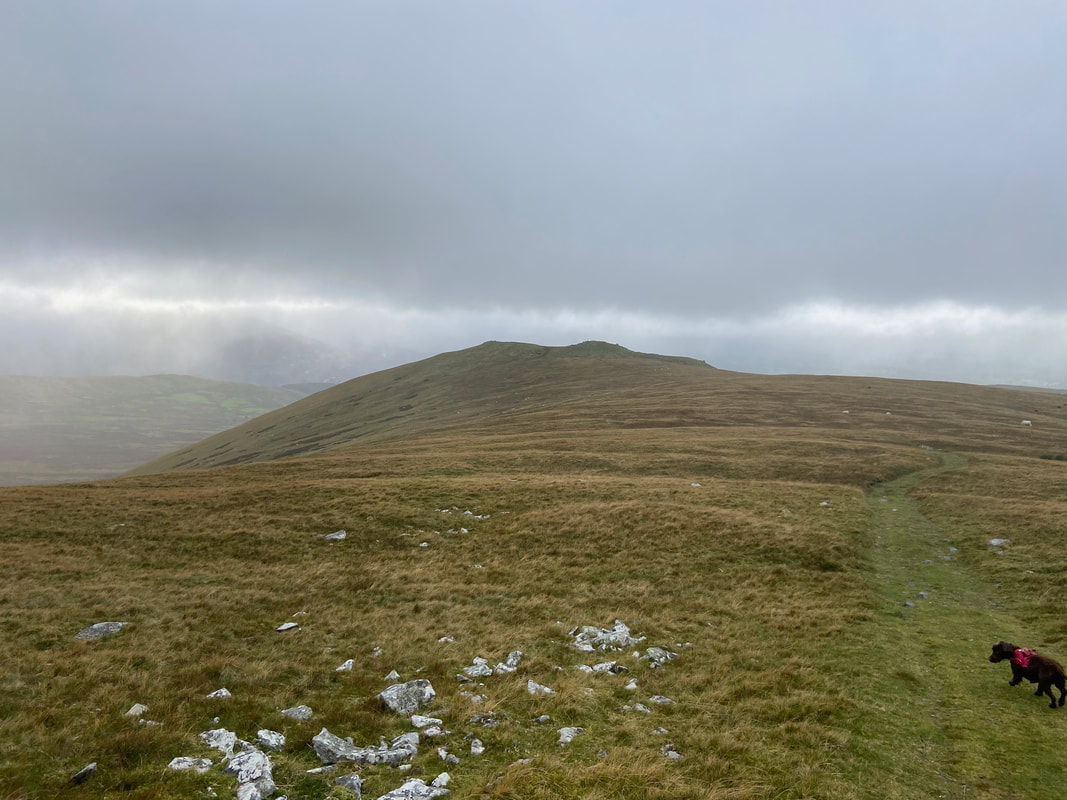
From Foel Grach we retraced our steps back towards the col below Carnedd Gwenllian where we would then head off to the left on a faint path to Bera Mawr. The group ahead of us are the Mountain Leader wannabes and are heading to Carnedd Gwenllian.
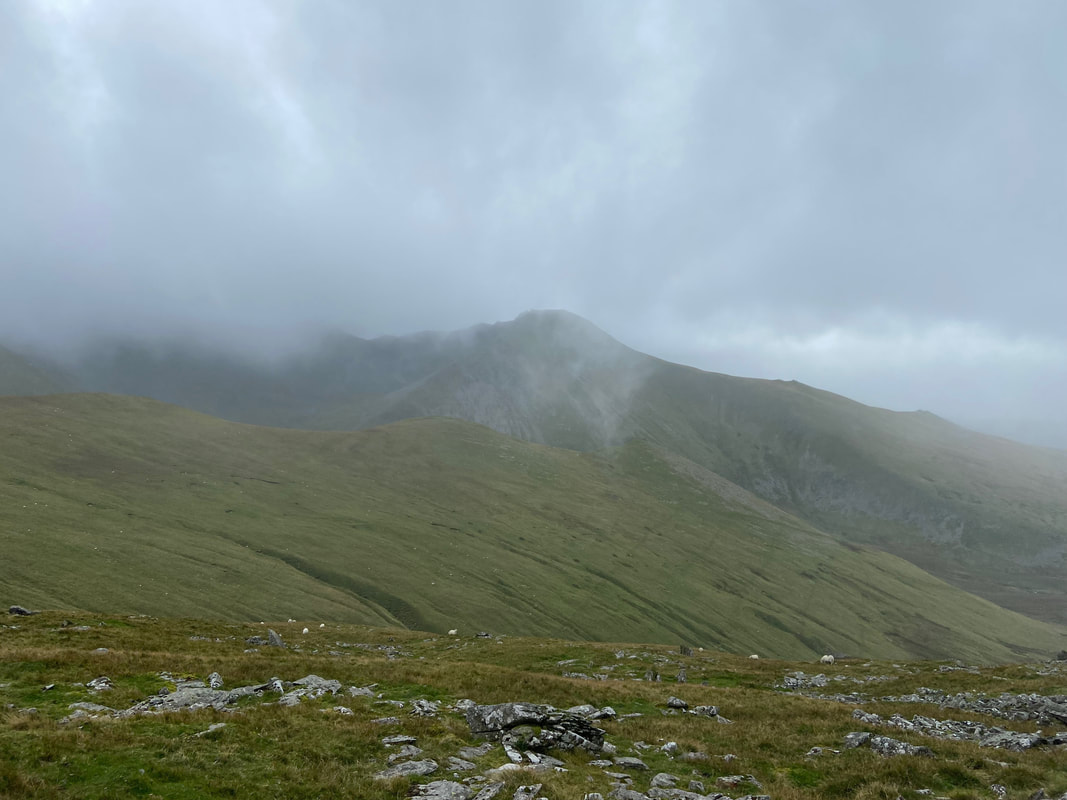
Yr Elen above Cwm Caseg
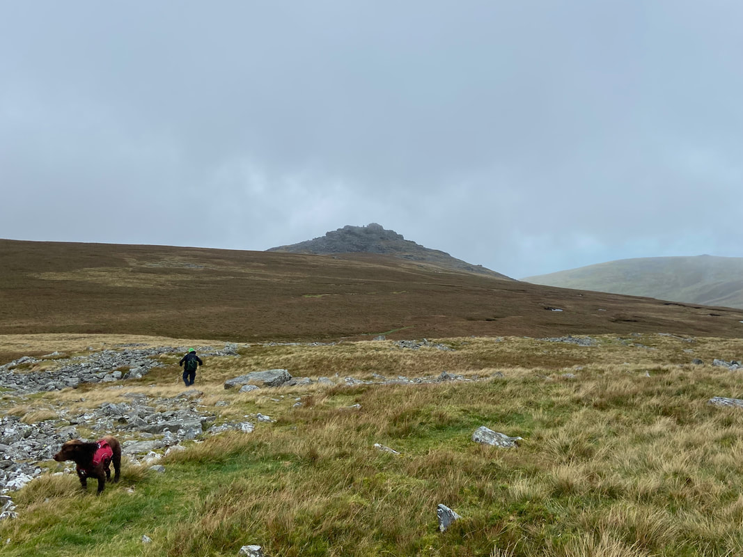
Fudge looks at me quizzically as we approach Yr Aryg
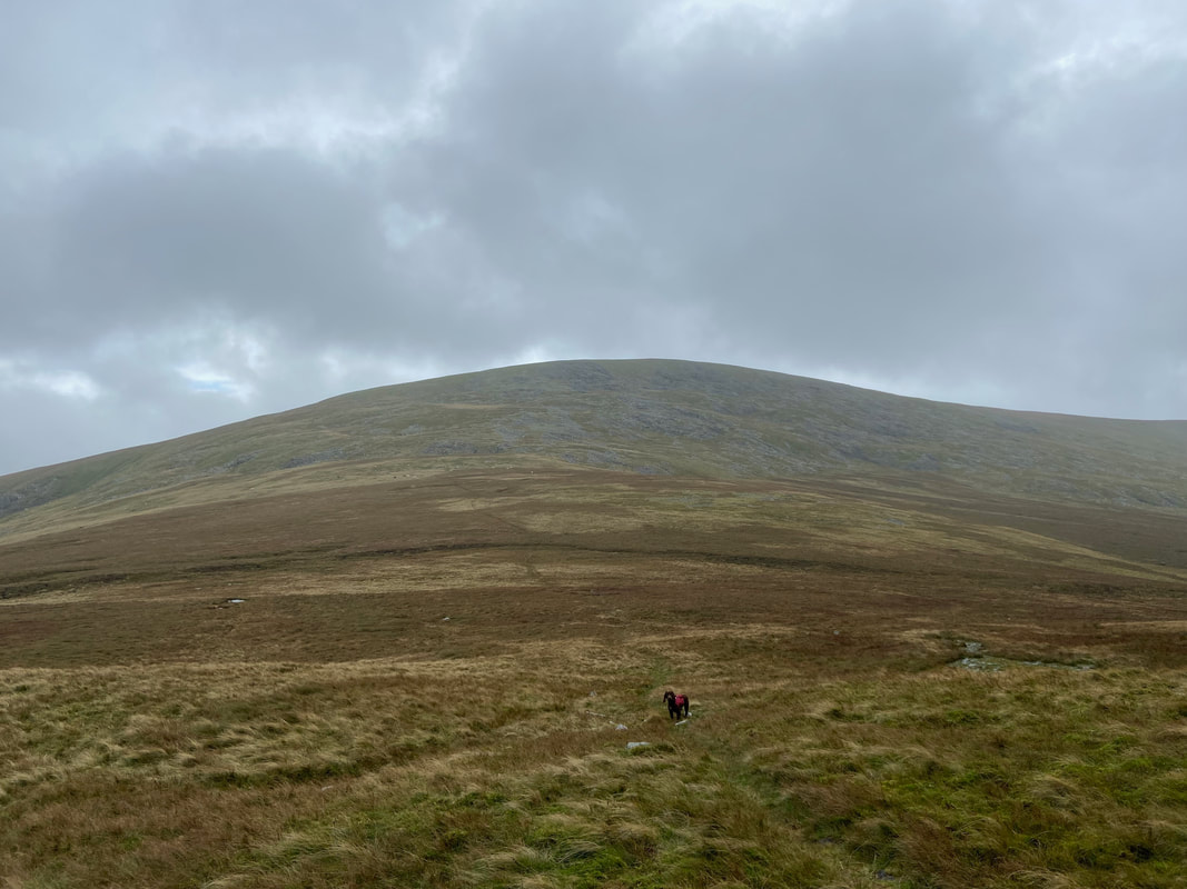
Heading for Bera Mawr which can be seen in the distance - once again over pathless ground
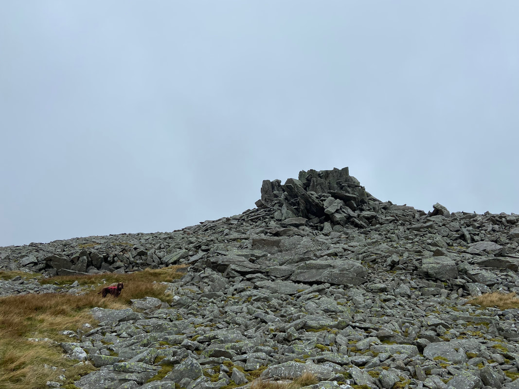
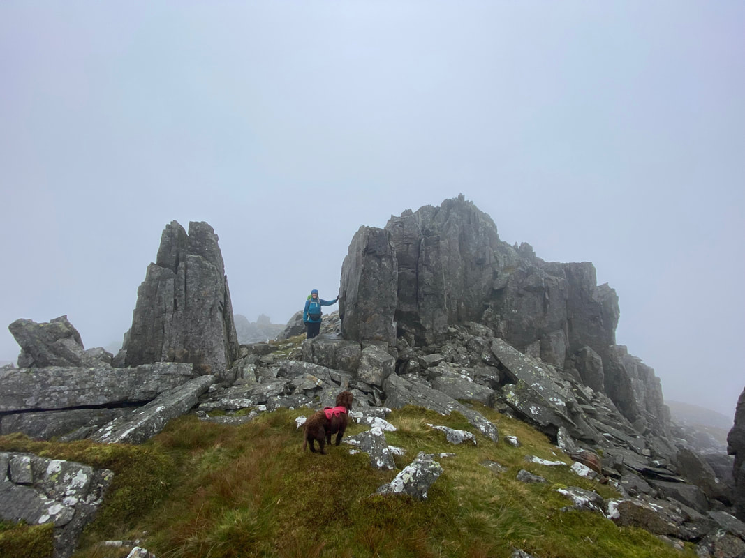
Up on the summit of Bera Mawr (Great Hayricks). The route to the summit passes between two stone monoliths (where Angie is) reminiscent of Adam & Eve on nearby Tryfan. Once through the gap the summit can be accessed easily from the north side.
Approaching Bera Bach
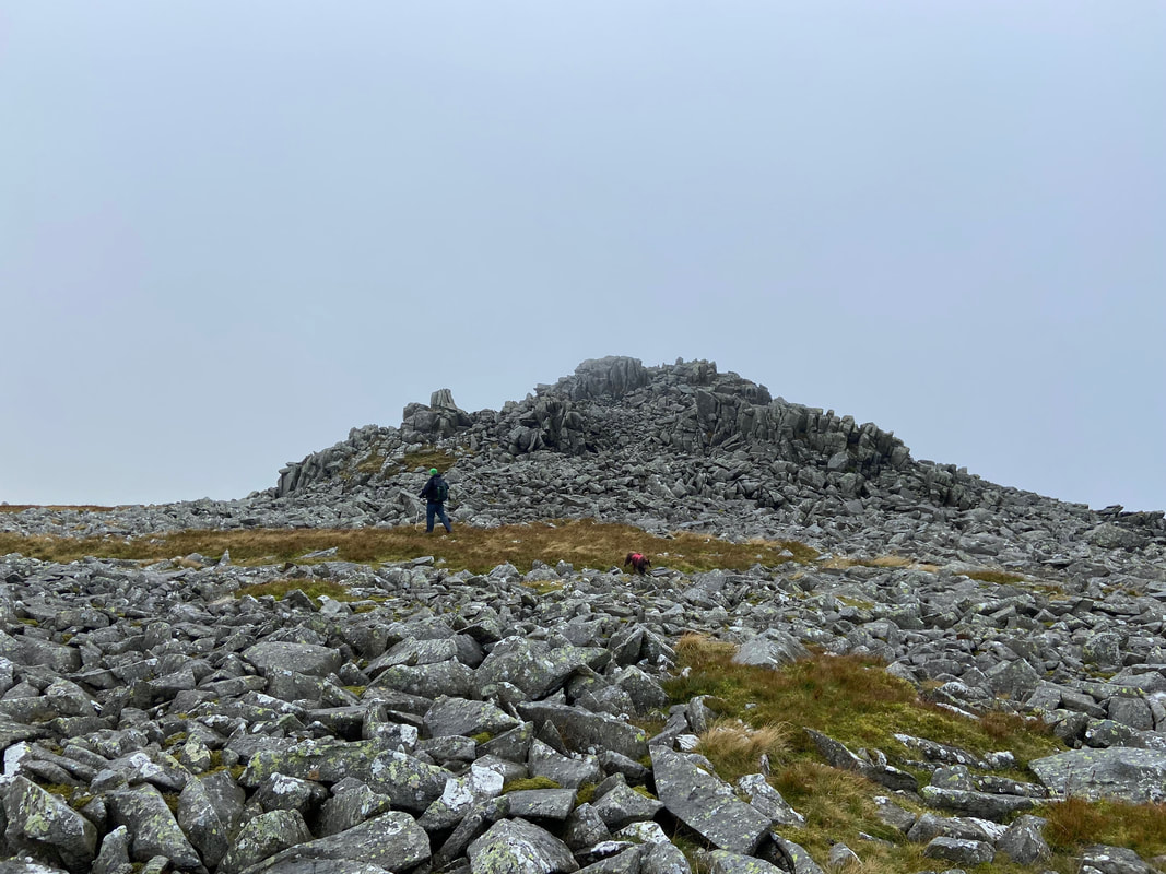
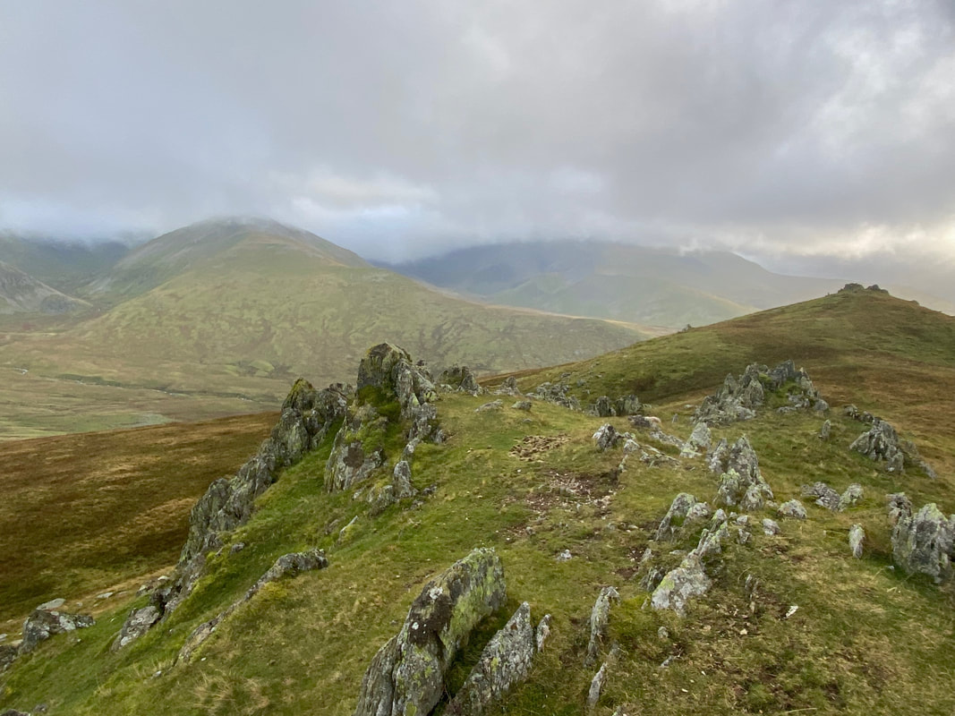
The short scramble over rocks to the summit of Bera Bach (Little Hayricks)
The approach to Drosgl from Bera Bach
Yr Elen from Bera Bach
Looking back to Bera Bach from the transit to Drosgl
Bera Mawr & Bera Bach (known collectively as the Berau) from Drosgl's approach
The summit of Drosgl (translated as "Rough Ground") - not much to see here today unfortunately
Fudge slinks along the carpet of grass as we head for our final top of the day - Gyrn Wigau
The summit of Gyrn Wigau (Wooded Peak)
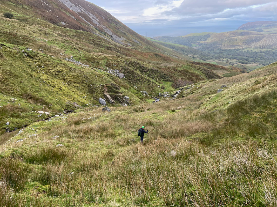
From Gyrn Wigau it was time to descend back into the valley towards Aber Falls aiming for Afon Gam. This was rough going but thoroughly enjoyable.
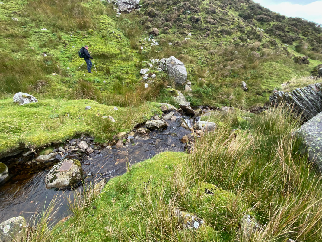
Dropping down via the western side of the Afon Gam
Aber Falls now in view as we continue to descend
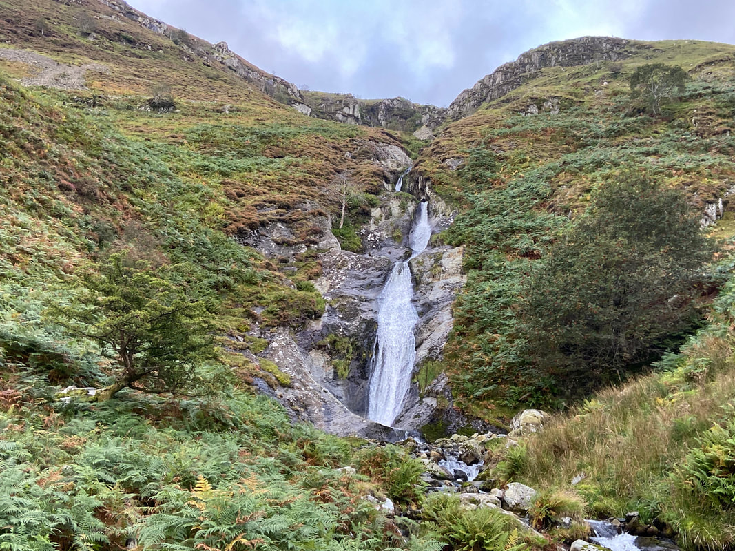
The falls of Rhaeadr-bach
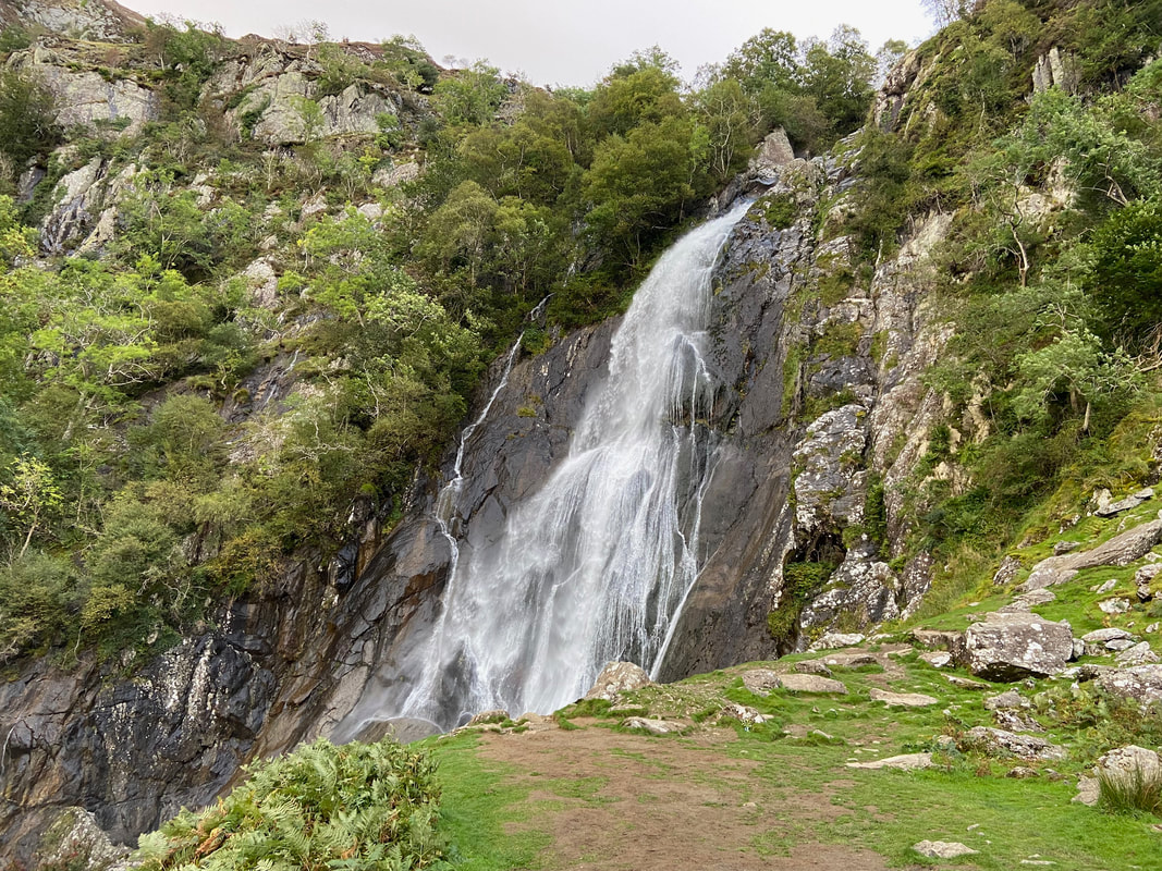
Rhaeadr-fawr (Aber Falls)
Aber Falls in full flow (click Play to view)
The final part of the descent as we head to the footbridge over the Afon Rhaeadr-fawr below Aber Falls.
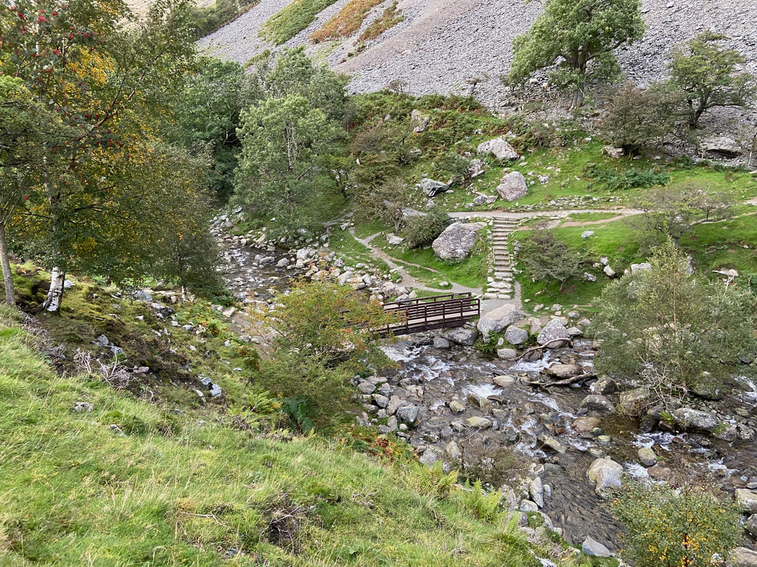
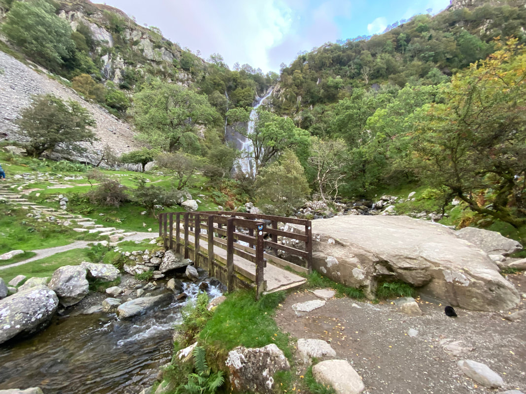
The footbridge over the Aber Rhaeadr-fawr and Aber Falls. All that was left now was a 1.4 mile walk along a pleasant path back to the Car Park - the debrief and meal was held in the very pleasant Eagles Hotel in Llanrwst.
