Gray Crag, Thornthwaite Crag, High Street, Kidsty Pike, High Raise, Rampsgill Head & The Knott - Friday 25 September 2020
Route
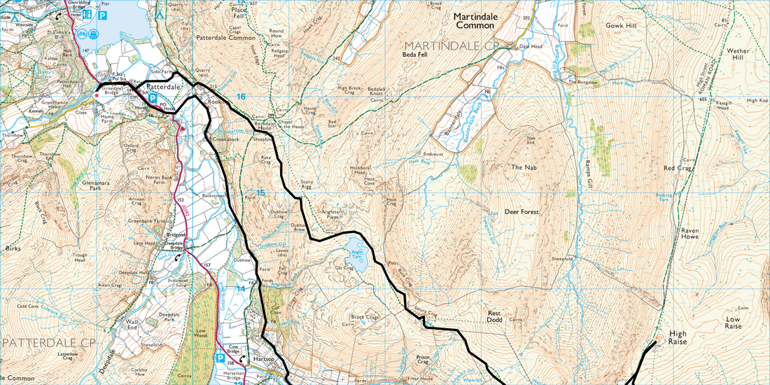
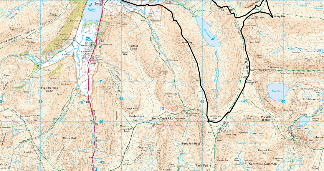
Patterdale - Rooking - Crookabeck - Beckstones - Hartsop - Gray Crag - Thornthwaite Crag - High Street - Straits of Riggindale - Twopenny Crag - Kidsty Pike - High Raise - Rampsgill Head - The Knott - Satura Crag - Angle Tarn - Boredale Hause - Patterdale
Parking
Lots of parking in Patterdale - £5 all day at King George V Car Park (opposite Patterdale Hall) - GR NY390160. Nearest postcode is CA11 0PX.
Mileage
14.8 miles
Terrain
Well established mountain paths apart from the ascent of Gray Crag's north ridge. The ascent of Gray Crag is very steep however the going is good.
Weather
Strong breezes and bitingly cold with good visibility.
Time Taken
7hrs 10mins
Total Ascent
3277ft (999m)
Wainwrights
7
Map
OL5 - The English Lakes - North Eastern Area
Walkers
Dave & Fudge
|
GPX File
|
| ||
If the above GPX file fails to download or presents itself as an XML file once downloaded then please feel free to contact me and I will send you the GPX file via e-mail.
Route Map
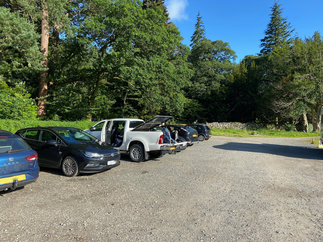
The walk today started from the Sports Field on the edge of Patterdale village. As of 2021 the charge is £5 for the day and the honesty box is situated near the entrance. If mileage is an issue then this walk could easily be started from Hartsop, either at Cow Bridge (CA11 0NZ) or the village Car Park (CA11 0NY). This would mean returning from The Knott via Hayeswater or from Brock Crags just after Satura Crag.
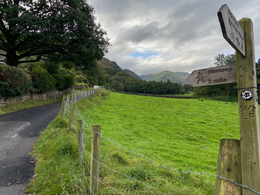
After crossing Goldrill Beck the route reaches Rooking from where the path heads towards Crookabeck and on to Hartsop
Looking back to Patterdale with Arnison Crag & Birks to the left and Place Fell to the right.
Arriving in the tiny hamlet of Crookabeck - we stayed here during our Coast to Coast crossing in 2012
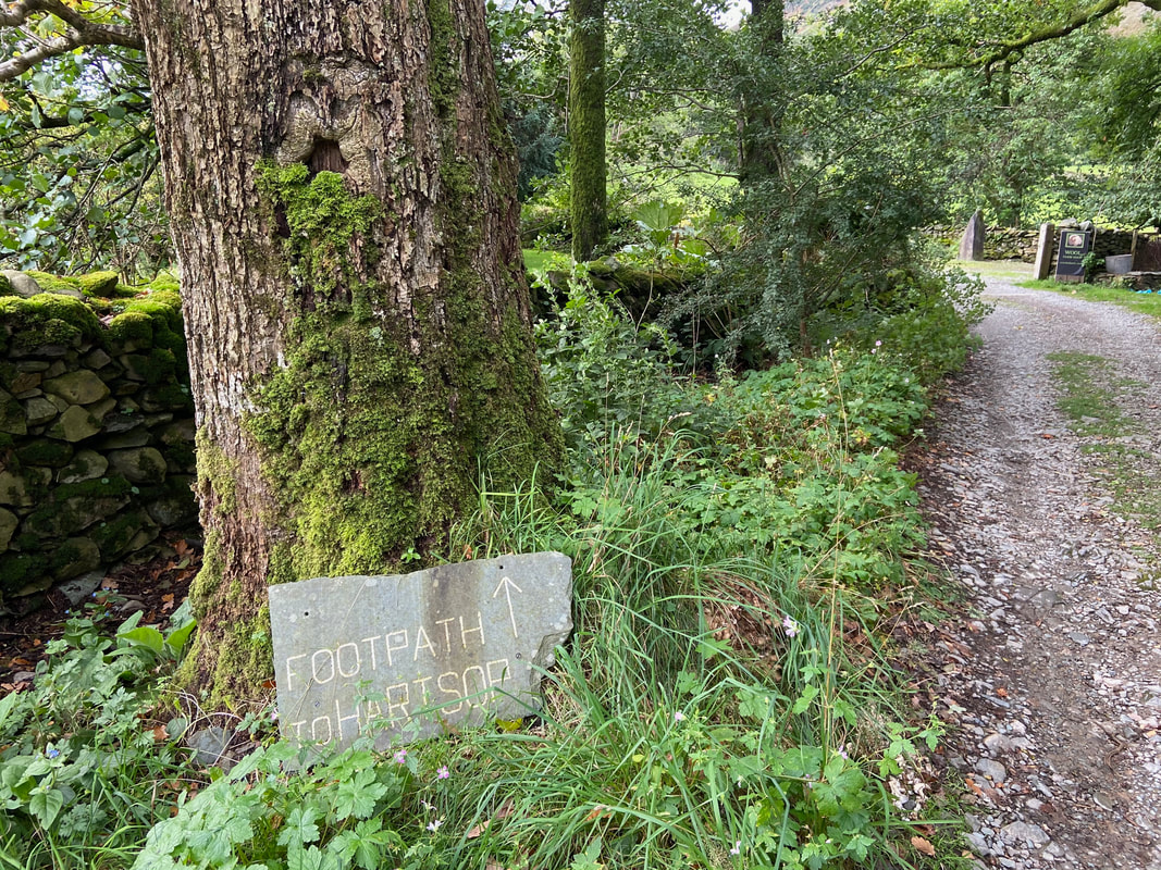
At a fork the route heads left continuing on to Hartsop. The path on the right leads to Deepdale Bridge.
No not that way Fudge - that path leads to Boredale Hause and is in totally the wrong direction.
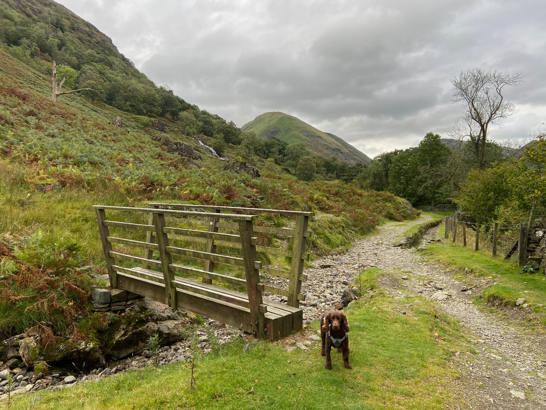
No need for any sort of bridge here today - it was as dry as a bone
Arriving at Angletarn Beck there is a choice of two routes into Hartsop. The route over the bridge to the left passes higher up through Calf Close whilst the bridge to the right leads to a farm track and a quiet lane. Both are very pleasant transits.
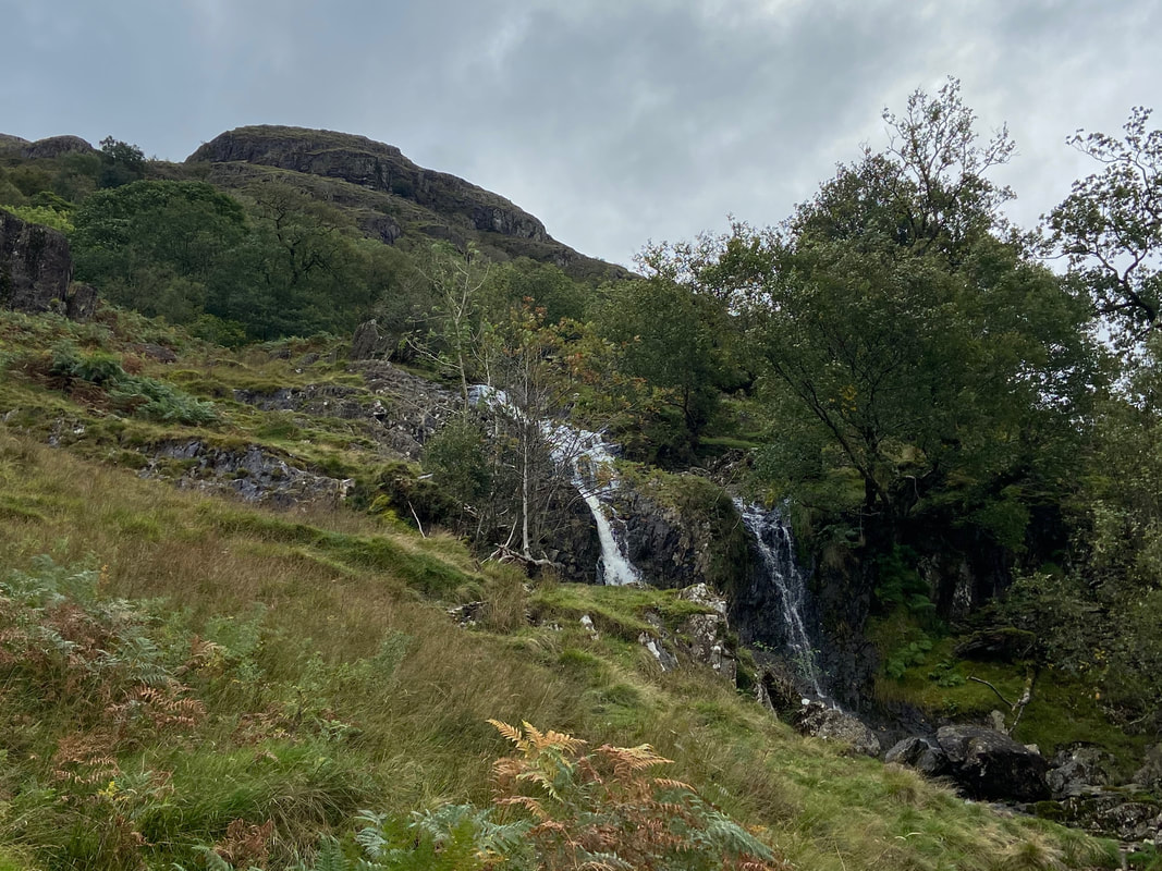
The waterfalls of Angletarn Beck with Cat Crag to the rear
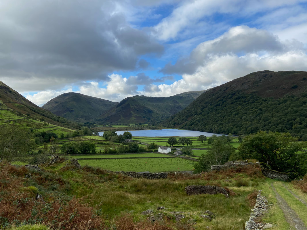
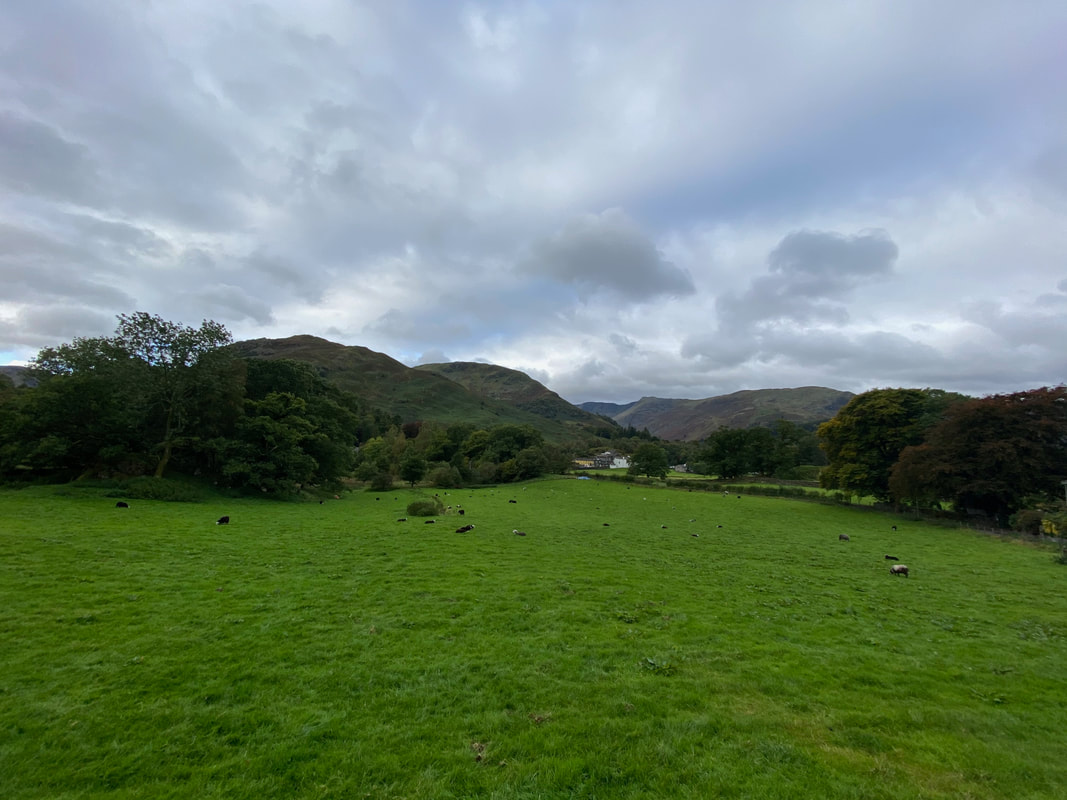
Brothers Water, Red Screes, Middle Dodd, High Hartsop Dodd & Hartsop Above How
Approaching Hartsop which is below with Hartsop Dodd behind the village. To the far left is Thornthwaite Crag then Caudale Moor with Red Screes to the right.
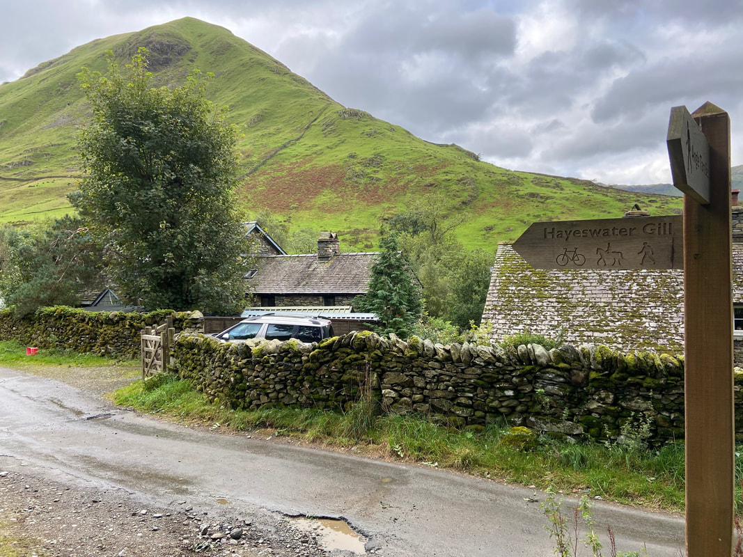
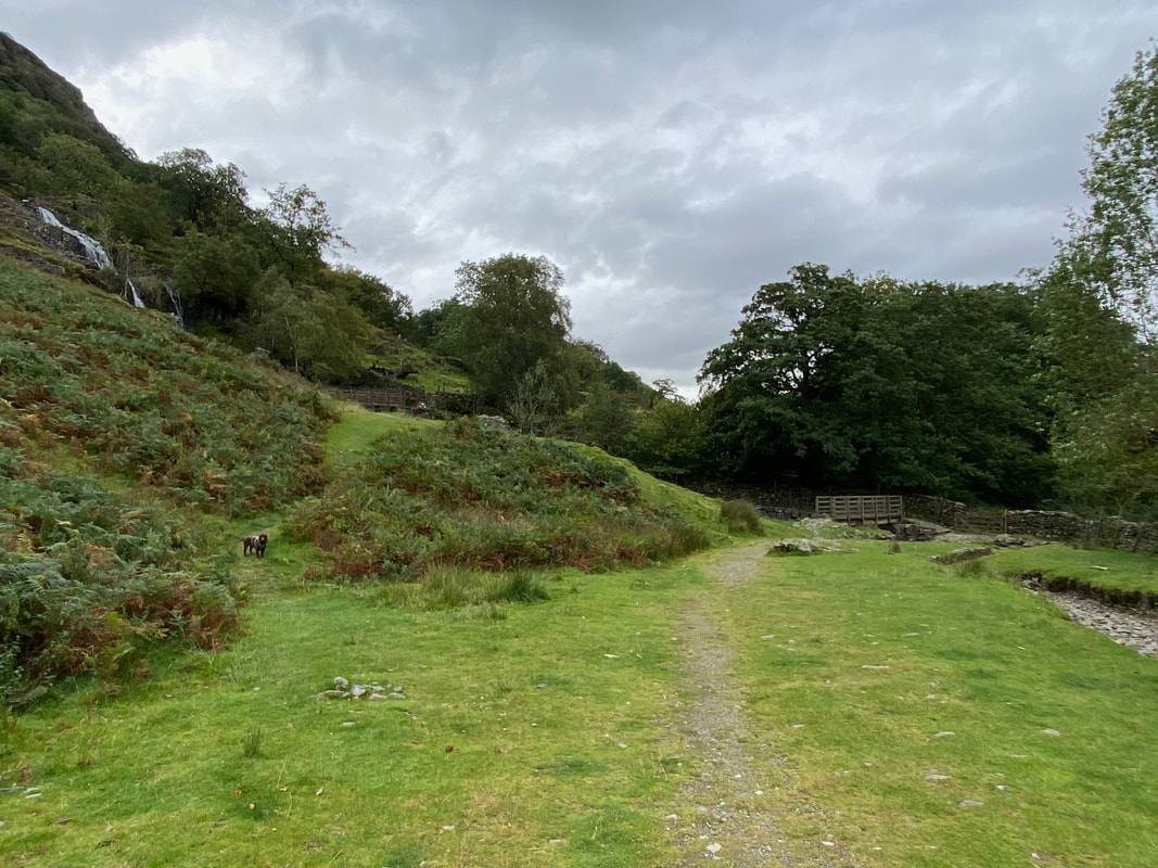
Reaching the village the route turns to the left towards the Car Park and the route to Hayeswater
Fudge tries to stare the gate open as we pass through the other side of the village Car Park. We would be taking the path to the right whilst the path to the left leads to the Filter House and the route up Brock Crags.
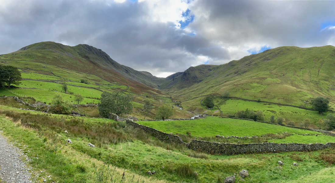
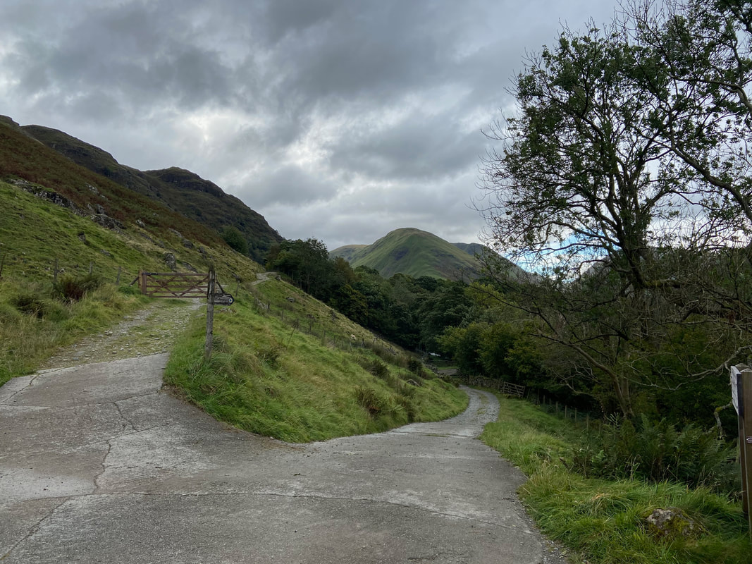
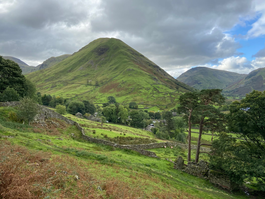
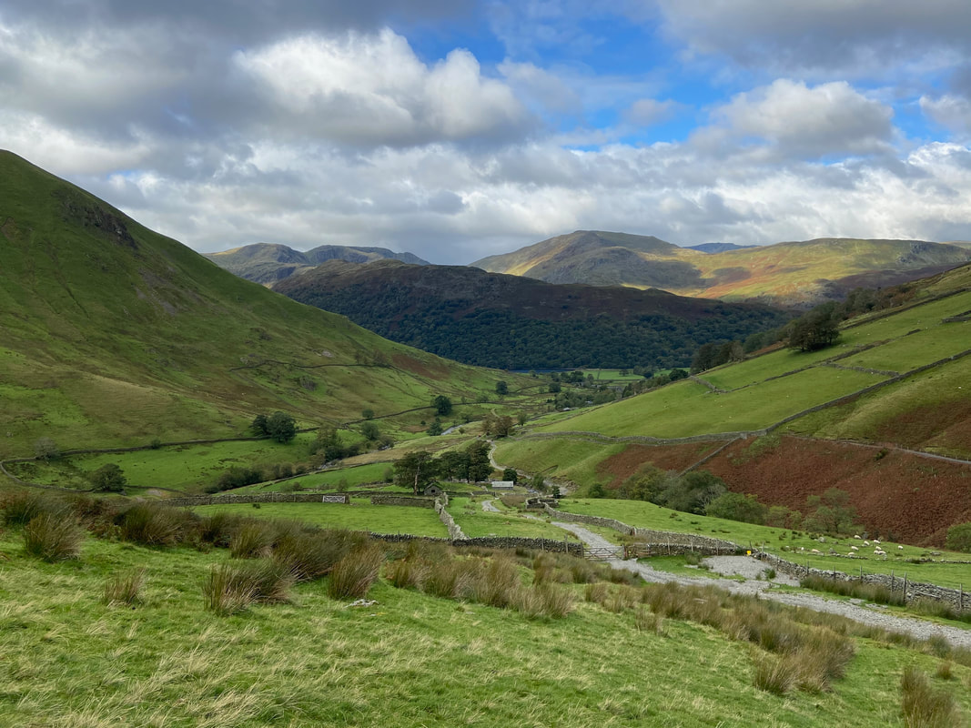
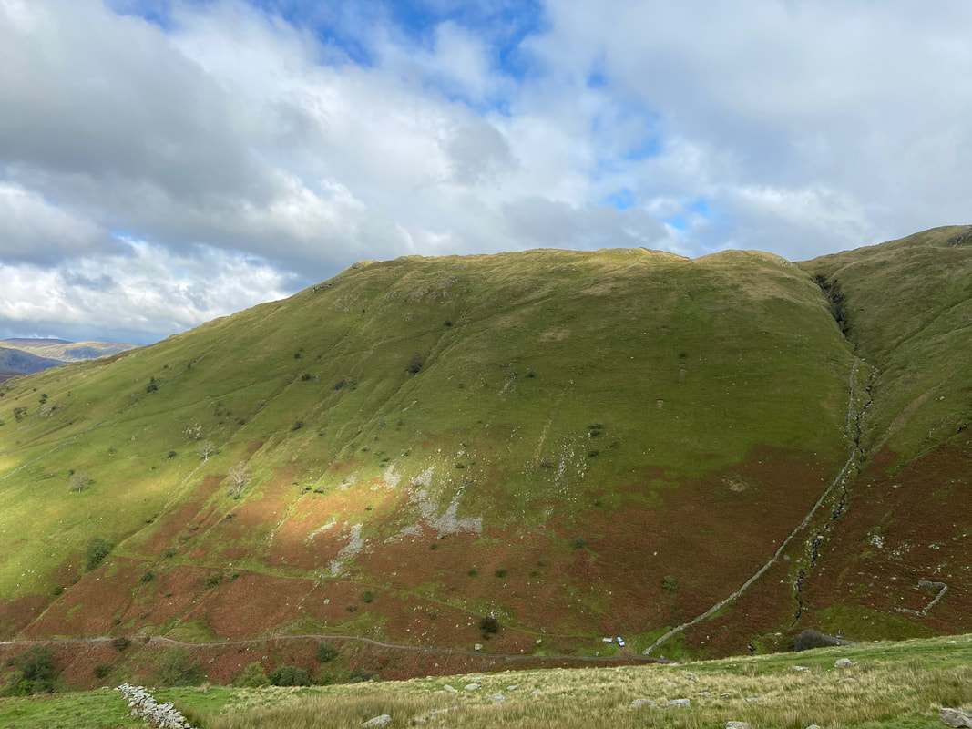
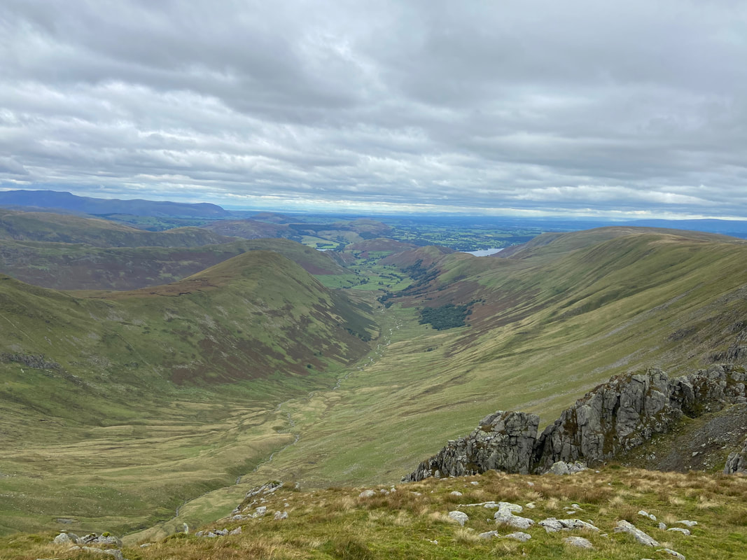
Looking up Pasture Bottom to Thresthwaite Mouth with Gray Crag to the left and Caudale Moor & Hartsop Dodd to the right.
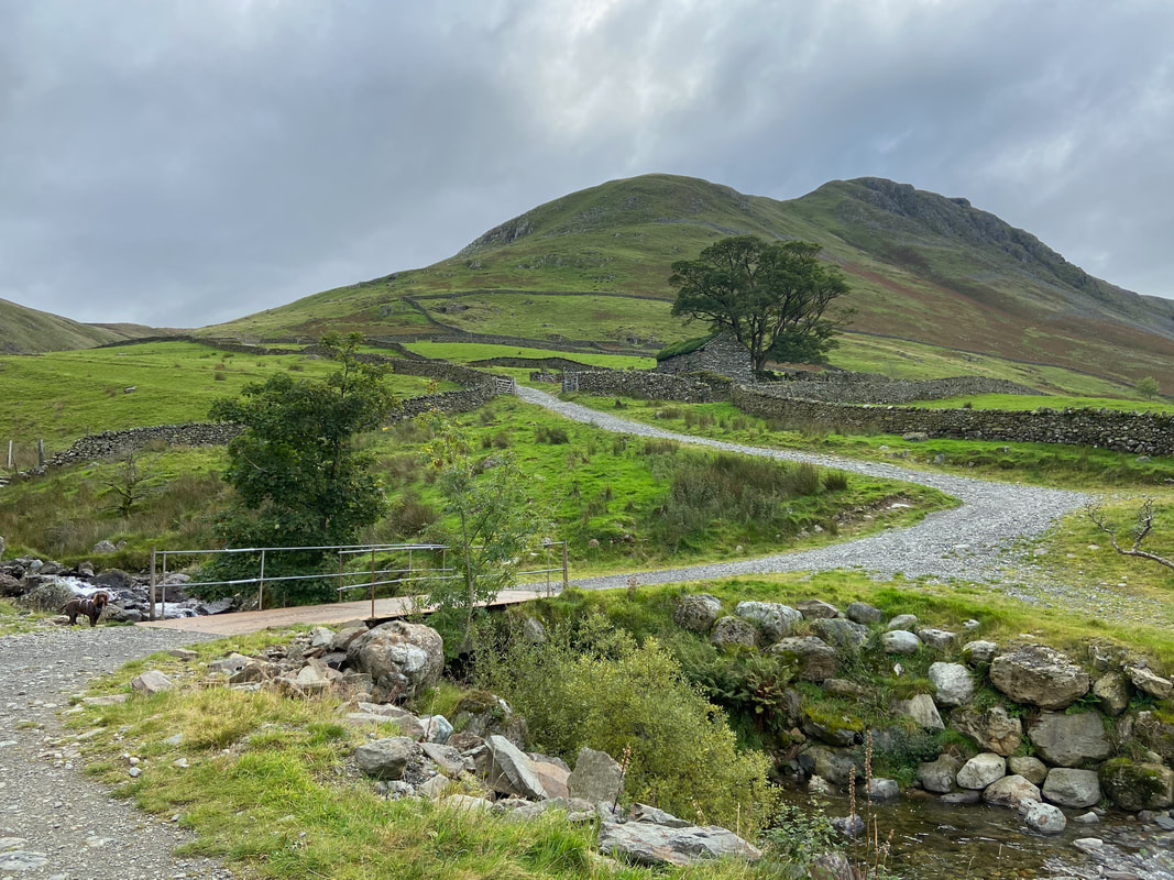
Crossing Hayeswater Gill via Wath Bridge with Gray Crag's north ridge now in full view
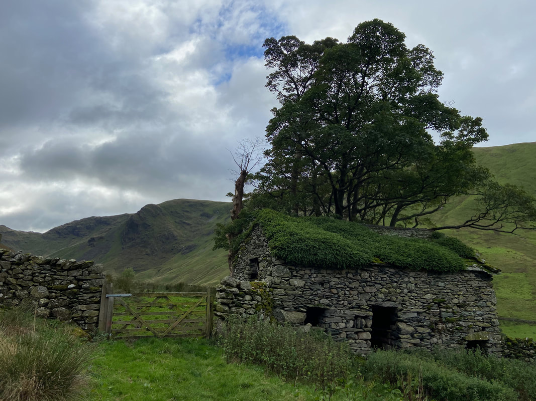
The route passes to the left of an old barn
Looking back to Hartsop with Hart Crag & Fairfield to the left with St Sunday Crag, Gavel Pike & Birks to the right.
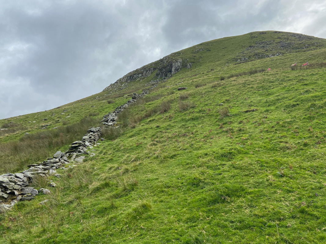
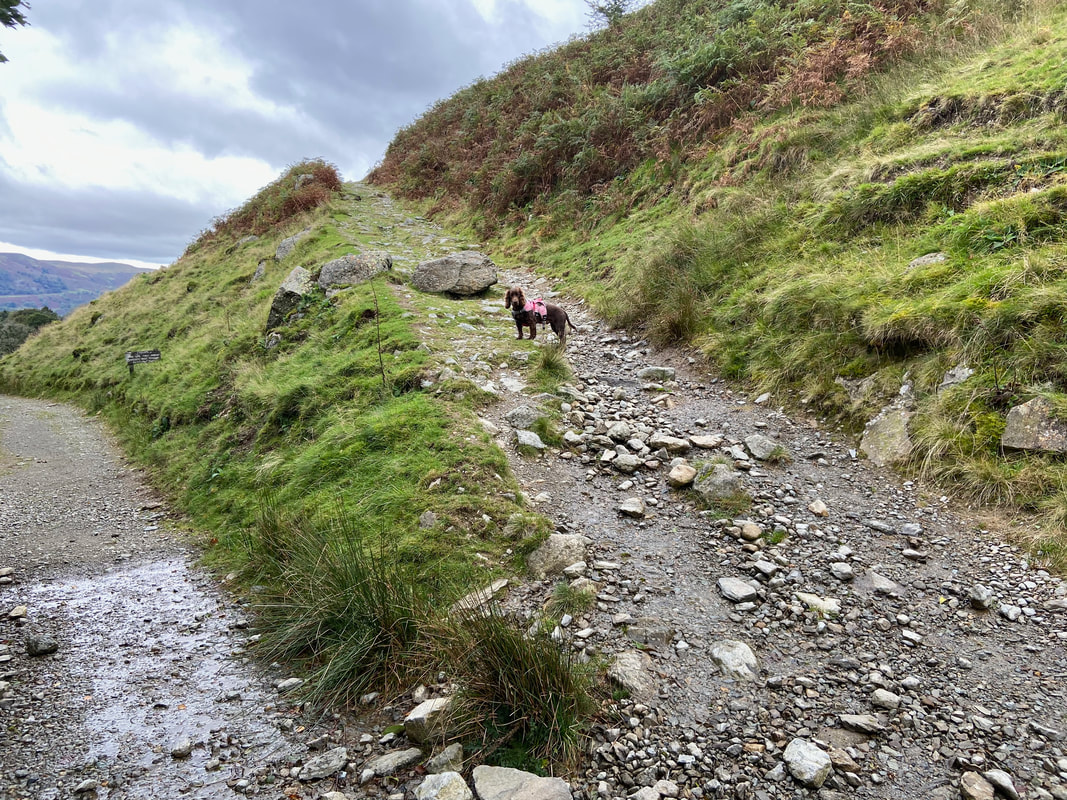
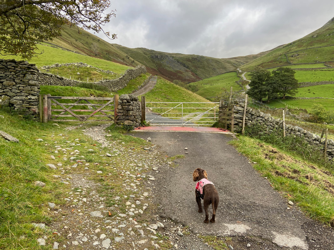
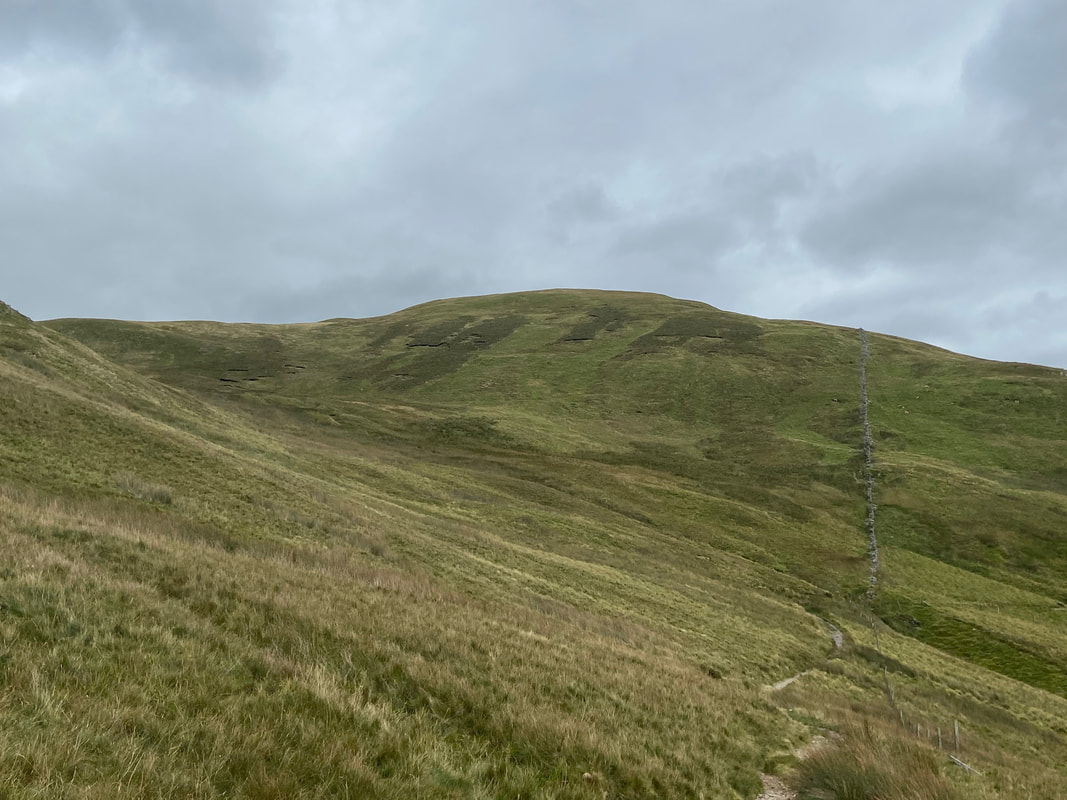
The path up the nose of Gray Crag via the north ridge is extremely intermittent - I just followed the broken wall although in good visibility just pick your way up as best you can. There's no getting away from it - the ascent is a calf burner therefore just get on with it!
Brock Crags from the ascent of Gray Crag
It is fair to say I paused often as I ascended the north ridge - here I am looking back towards St Sunday Crag & the Helvellyn range
Hartsop Dodd across Pasture Bottom
Raven Crag on Caudale Moor with Pasture Bottom below
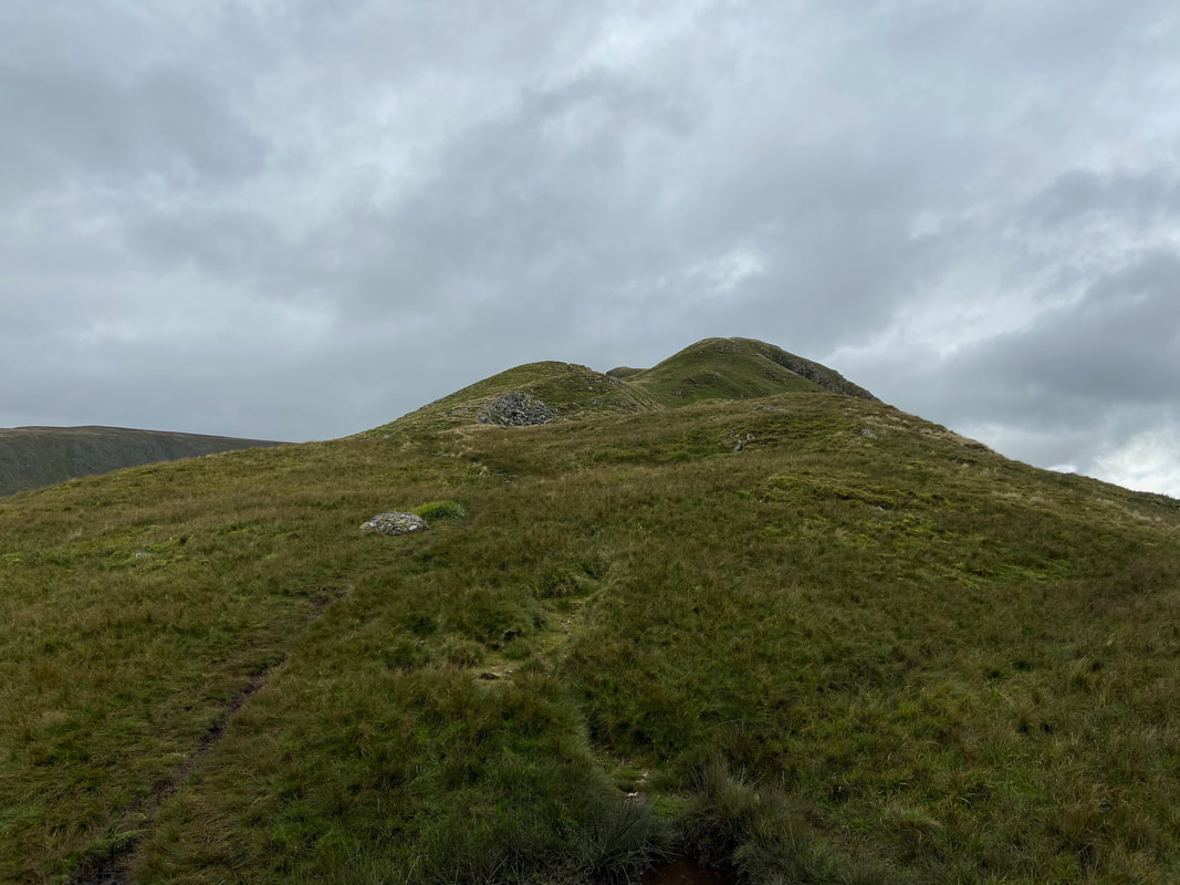
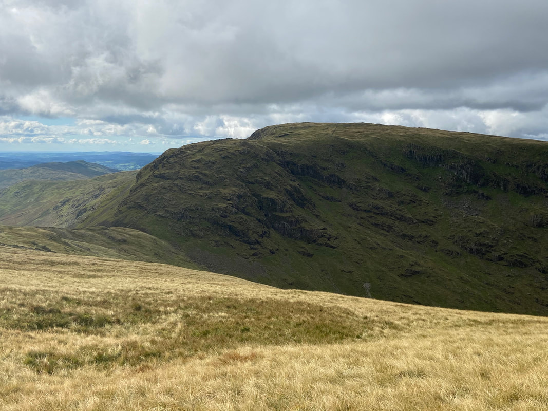
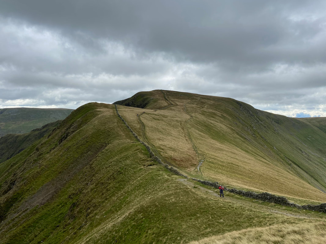
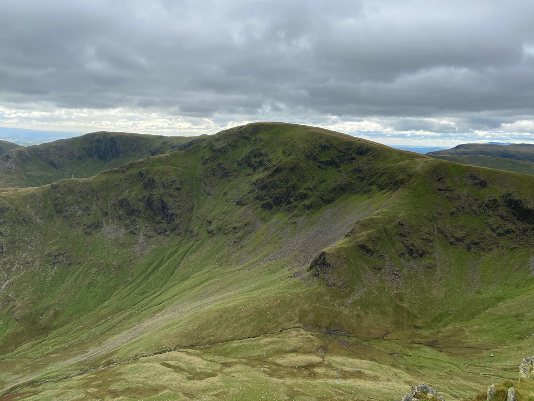
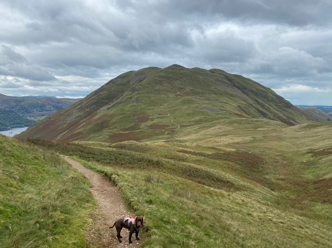
As the steepness relents the north summit of Gray Crag comes into view
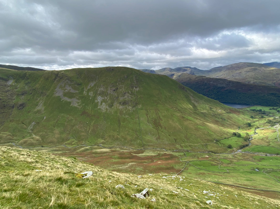
The Knott & Rampsgill Head across Hayeswater
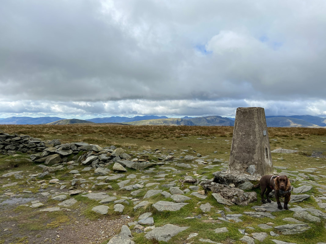
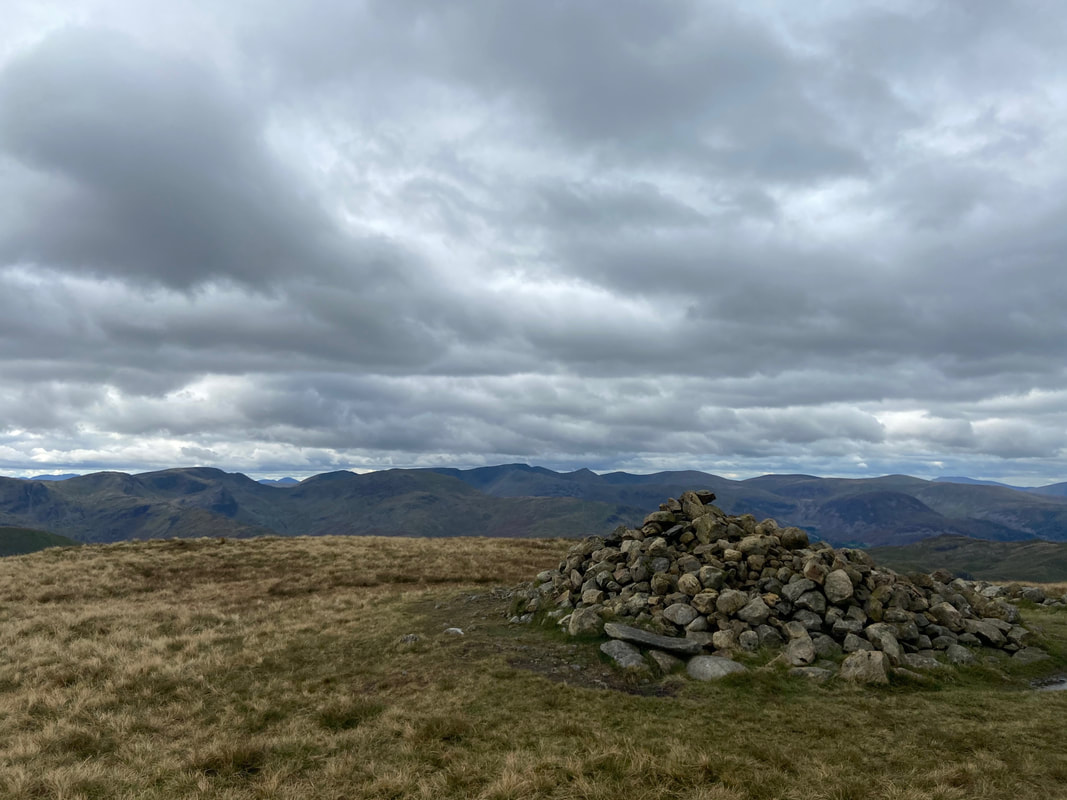
The cairn that marks the 698m spot height on Gray Crag
A little further along the ridge is a rocky area that marks the summit of Gray Crag at 699m. Fudge is marking the exact spot according to the co-ordinates plotted in to my GPS - as usual he tolerates this and is waiting for the command "continue arsing about".
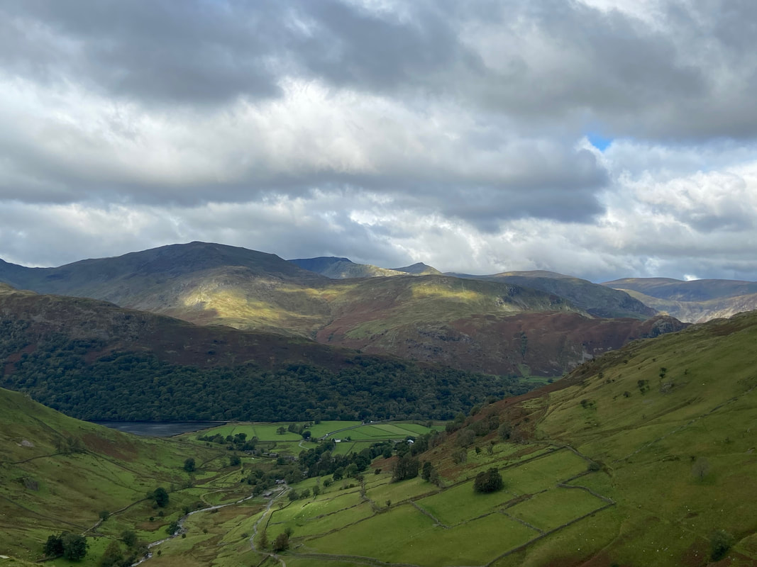
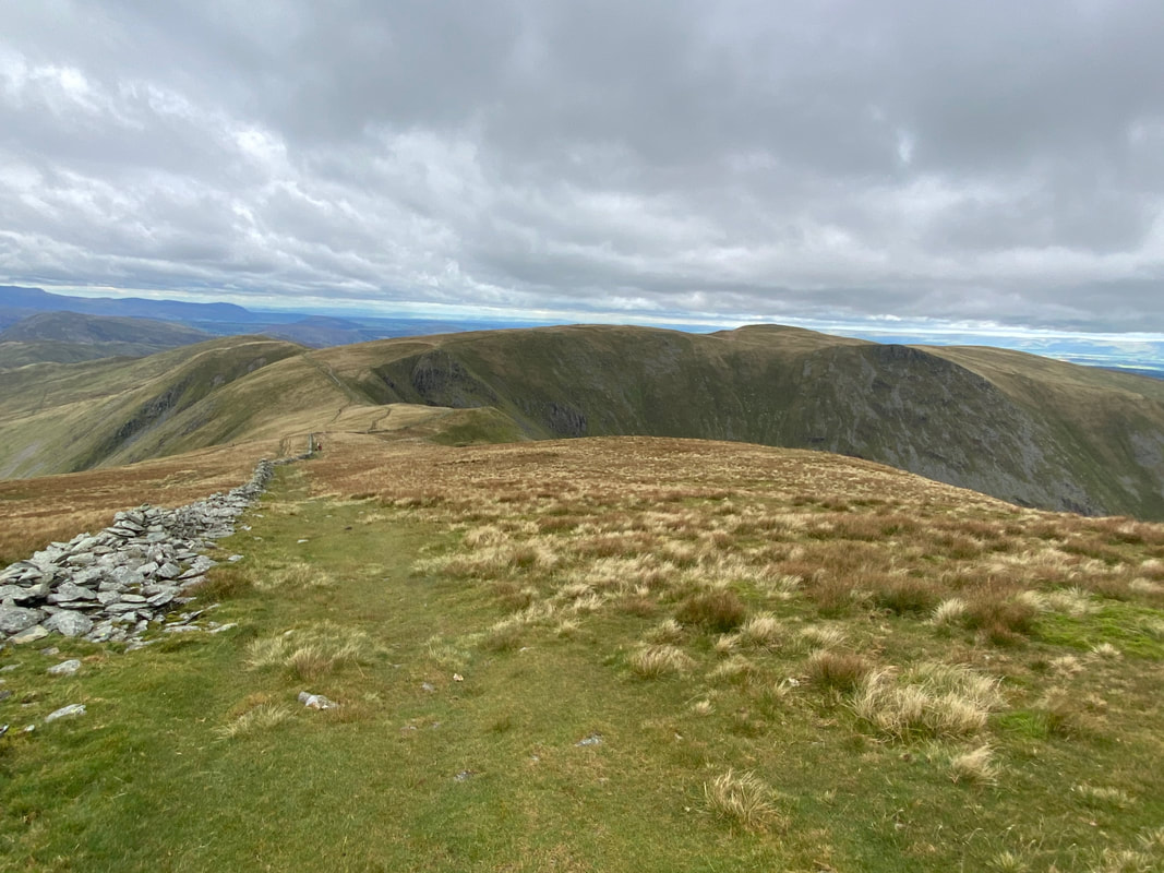
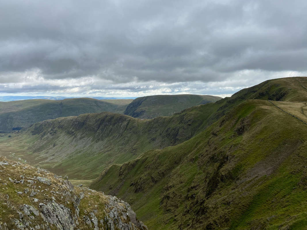
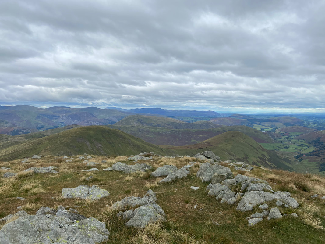
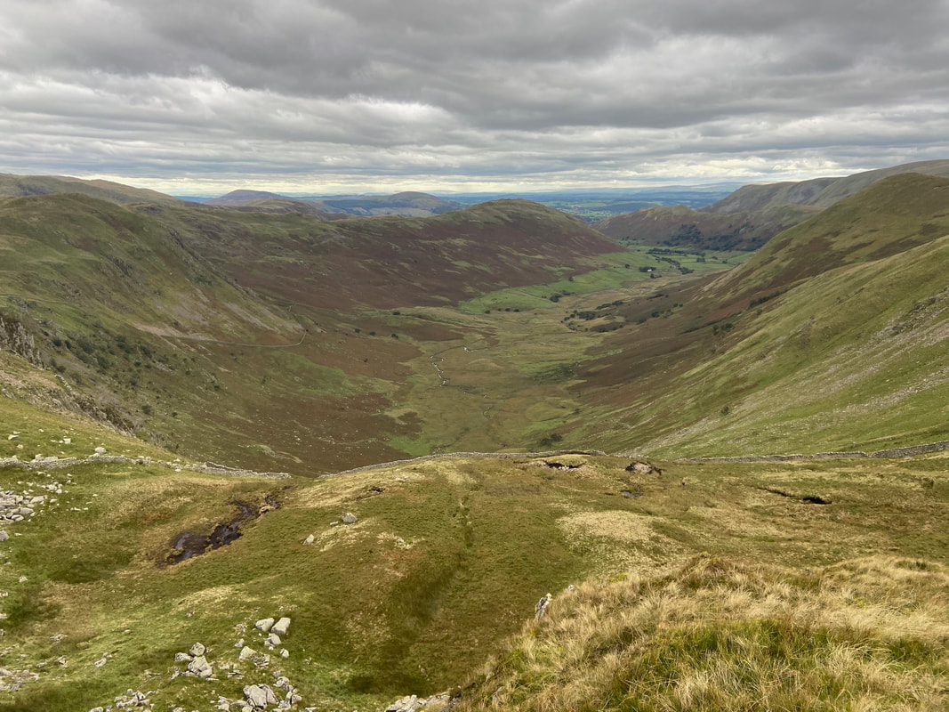
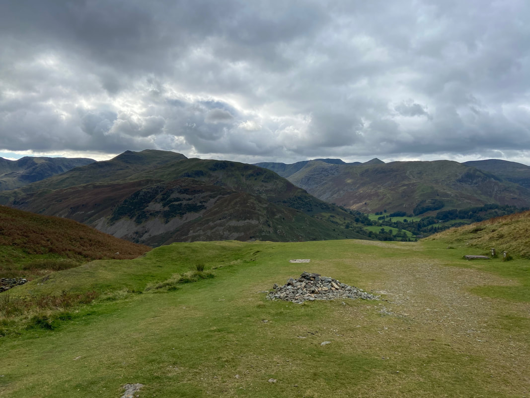
Caudale Moor to Thresthwaite Mouth. If you have not gone up & down via this route then my advice is to do so - it's a cracker.
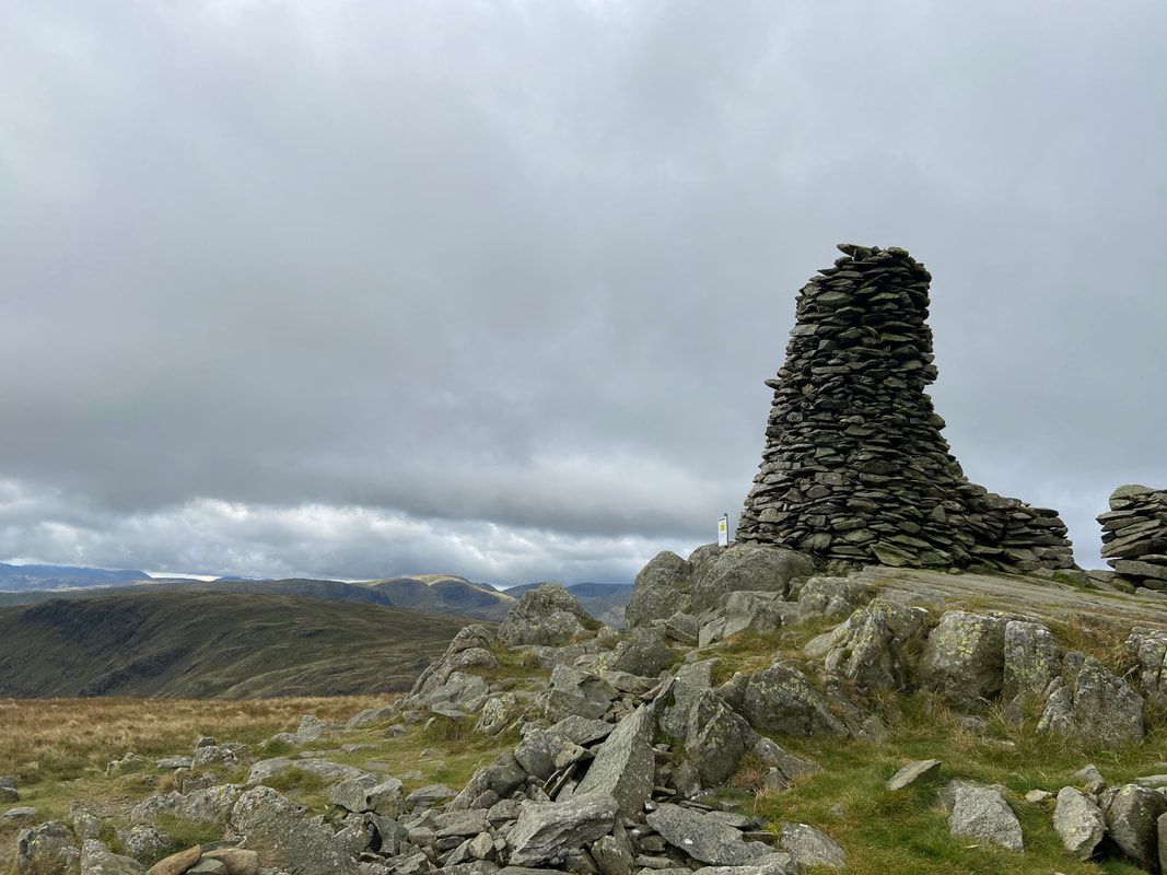
The beacon near the summit of Thornthwaite Crag. The actual highest point of the fell is 148ft (45m) north of the beacon. The sign below states not to climb up on to the top - unfortunately it doesn't stop some people doing so despite its instability.
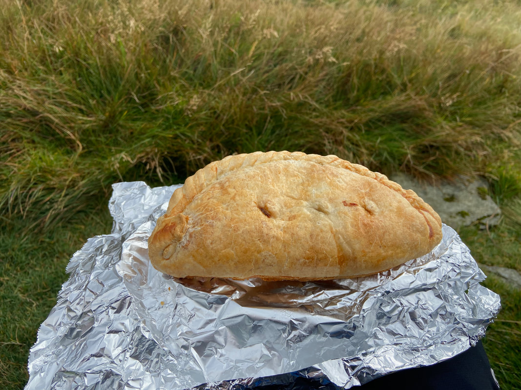
Enjoying my Janner's Mouth Organ on my way over to High Street - looks tasty doesn't it!!
Yoke, Ill Bell & Froswick
The summit of High Street
From High Street I wandered along the Straits of Riggindale. In the distance is the rest of my route - to the left The Knott then Twopenny Crag, Rampsgill Head & Kidsty Pike with High Raise back right.
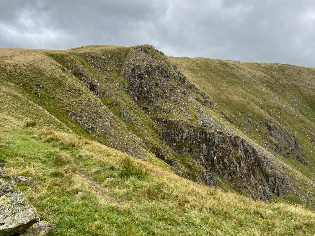
Twopenny Crag
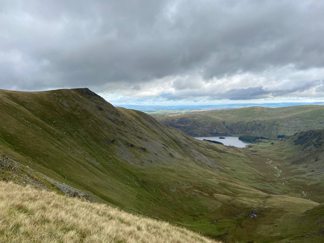
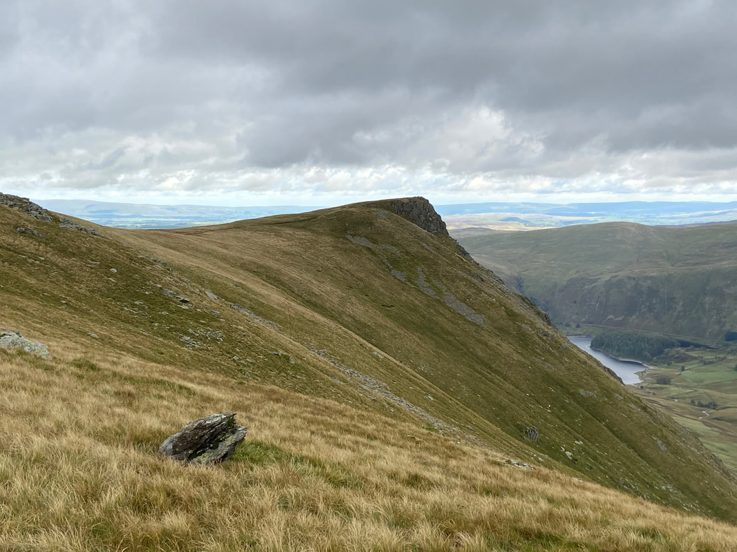
Looking down Riggindale with Kidsty Pike to the left and Haweswater in the distance
Looking back to High Street from Twopenny Crag
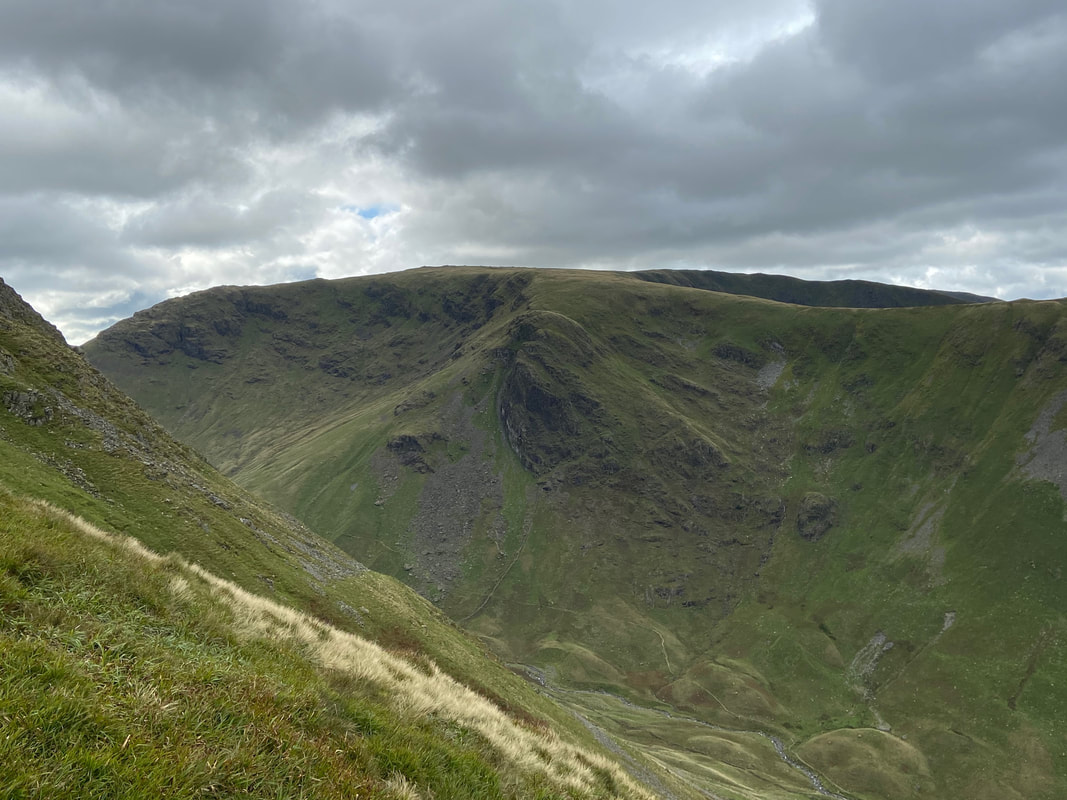
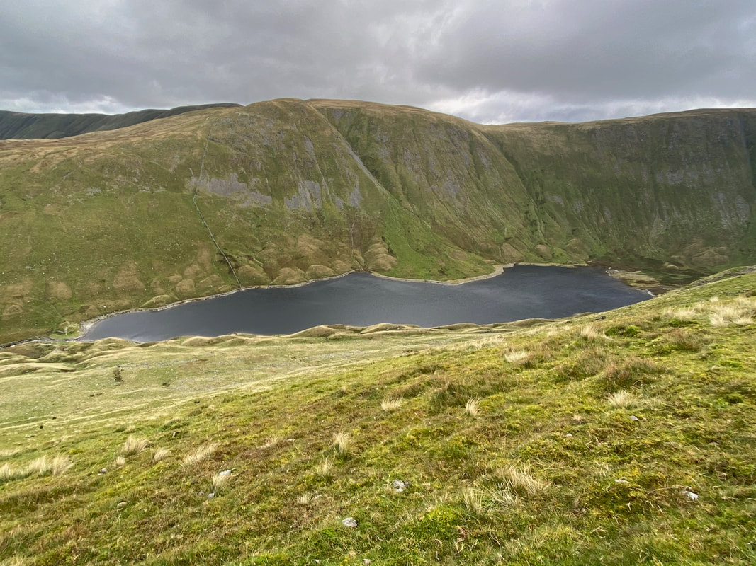
Looking to Rough Crag & Long Stile which is the route onto High Street from Mardale Head. The tarn just about visible in the centre of shot is Caspel Gate. In the far distance are Branstree, the Gatesgarth Pass & Harter Fell.
Kidsty Pike
The summit of Kidsty Pike
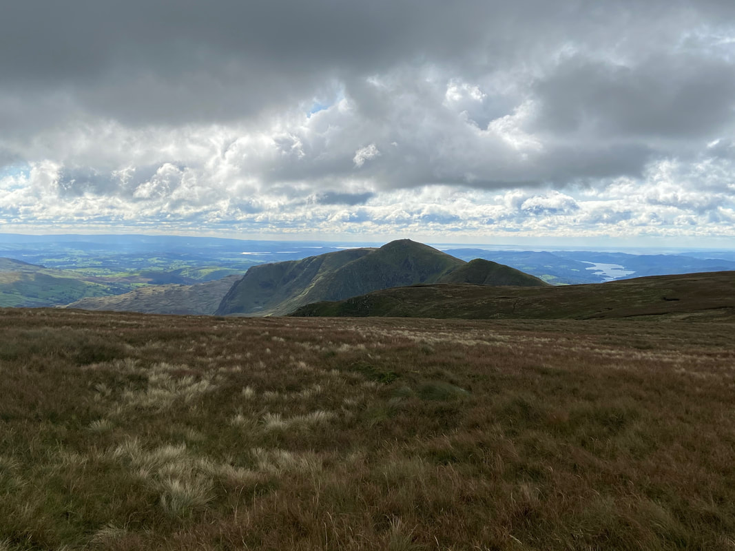
High Street with Mardale Ill Bell back left
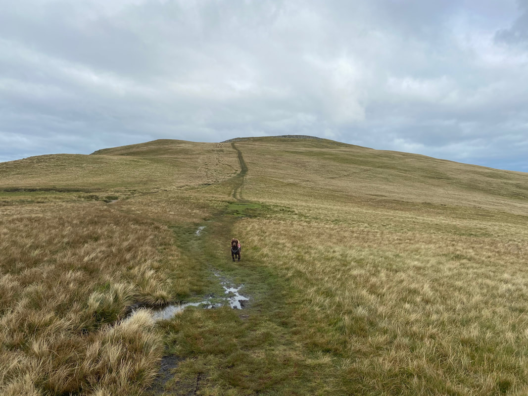
From Kidsty Pike we headed along the lovely grassy path up to High Raise
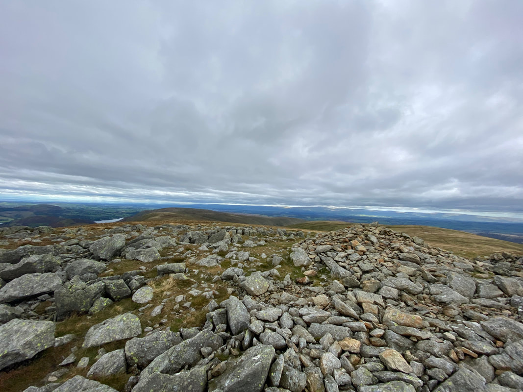
The summit of High Raise
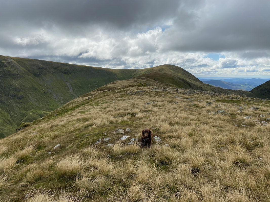
The summit of Rampsgill Head looking to Rest Dodd & The Nab
Ramps Gill
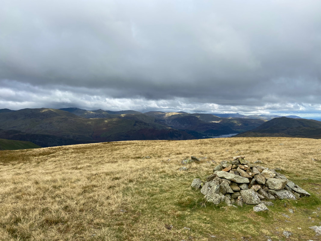
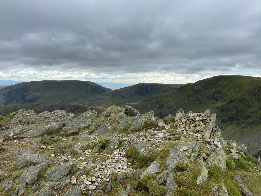
The summit of The Knott
Rest Dodd from the Coast to Coast path
Bannerdale
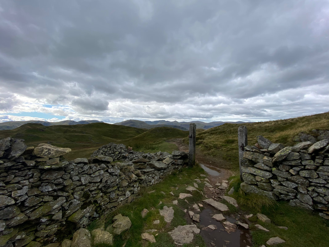
The route passes through a wooden gateway - turning left here leads to Brock Crags whilst straight on heads to Angle Tarn
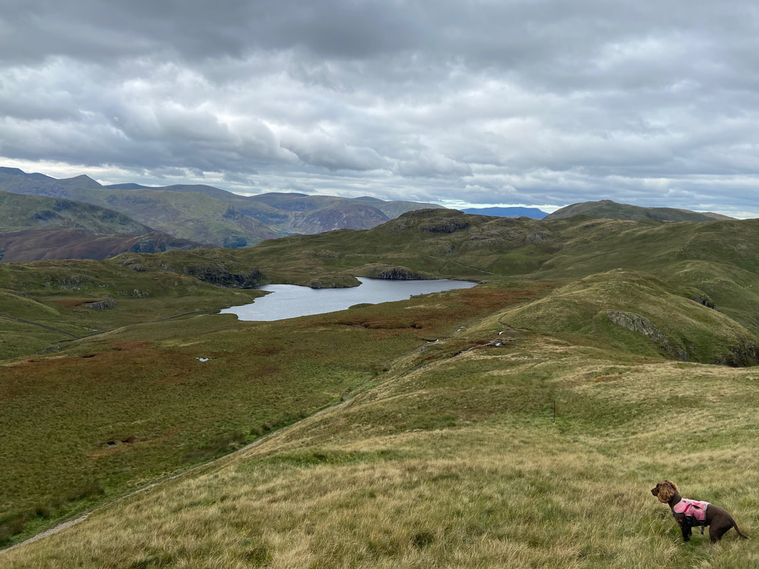
Angle Tarn and Fudge can clearly smell water
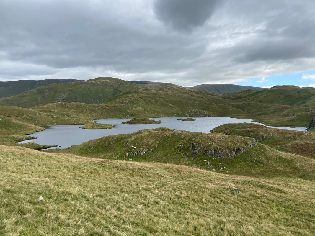
Looking back to Angle Tarn from the path to Boredale Hause
Red Screes, Middle Dodd, High Hartsop Dodd, Little Hart Crag, Dove Crag, Hartsop Above How & Brothers Water
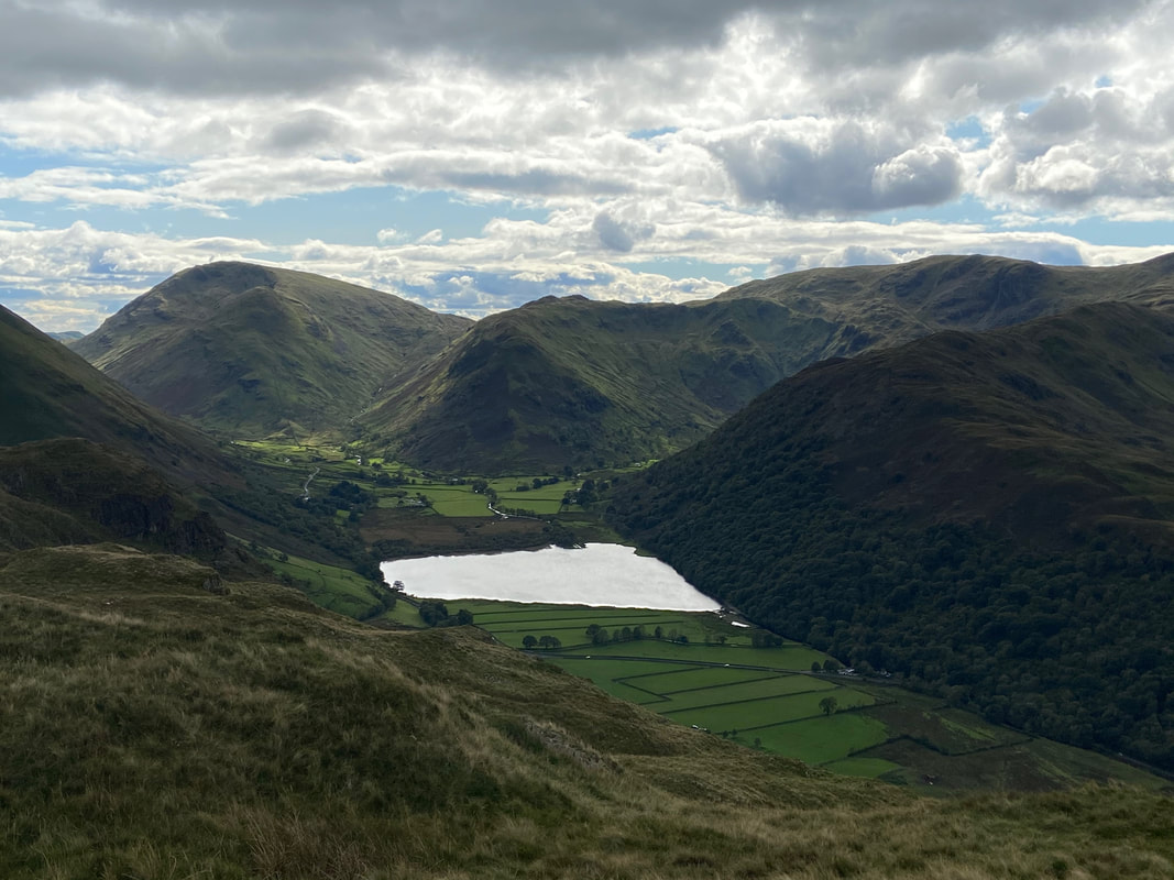
Place Fell & Boredale Hause - Fudge looks a tad disgruntled as he hasn't eaten for a whole ten minutes
Boredale Hause
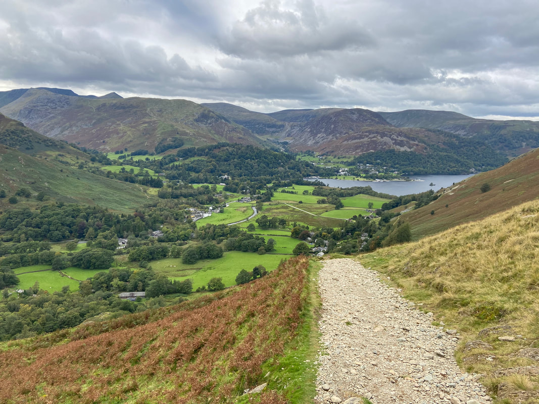
Patterdale, Glenridding & Ullswater from the descent path from Boredale Hause