Fremington Edge - Friday 29 June 2018
Route
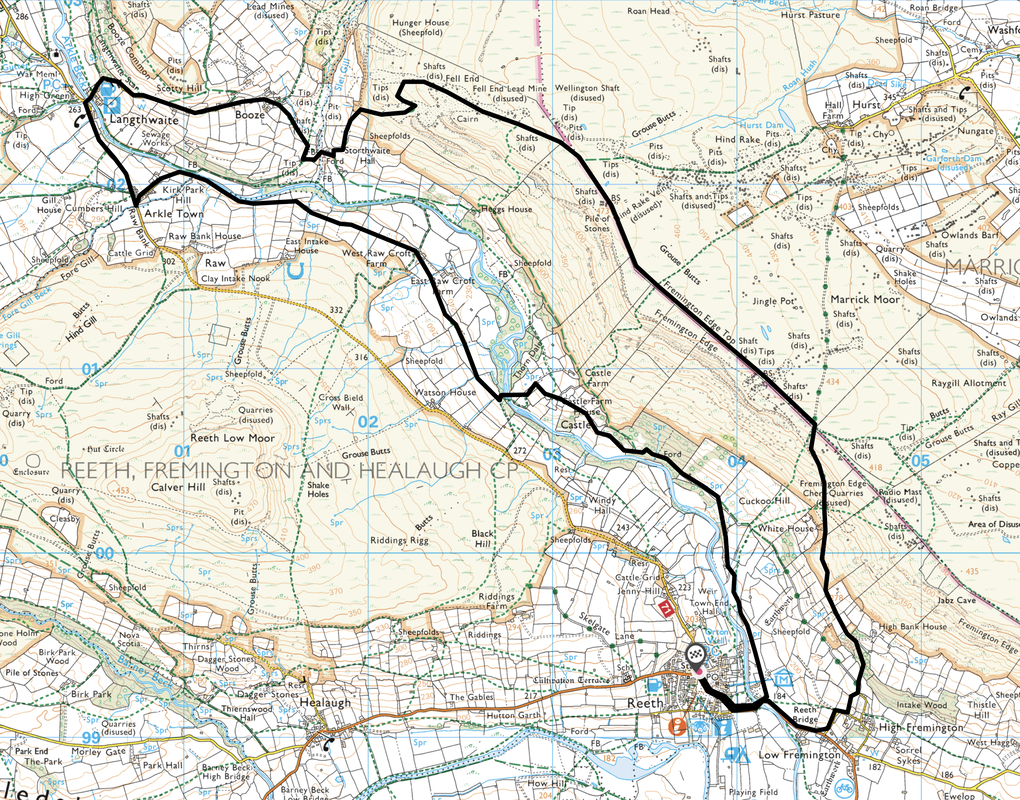
Reeth - Reeth Bridge - Castle Farm - West Raw Croft - Arkle Town - Raw Bank - Langthwaite - Booze - Fell End - Fremington Edge - Fremington Edge Top - White House - Reeth Bridge - Reeth
Parking
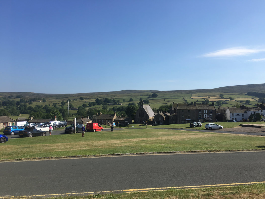
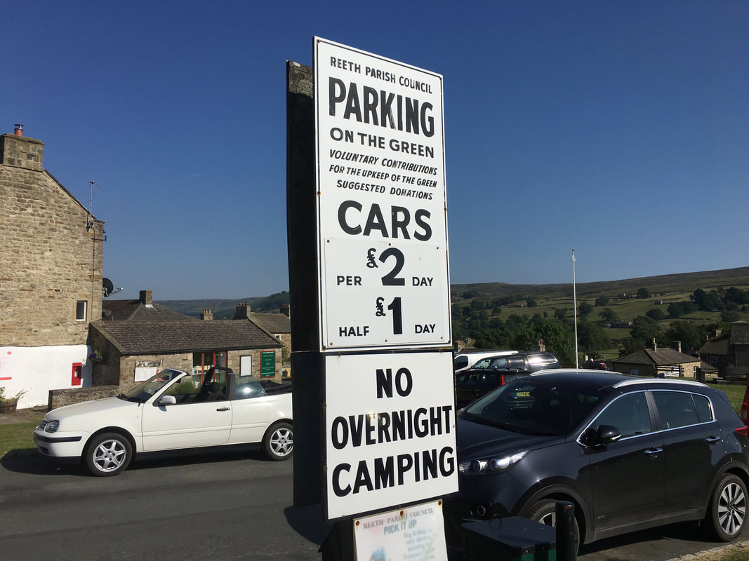
Plenty of parking near to and actually on The Green in Reeth (£2 all day on The Green, see pic below) - Grid Reference SE038993. Nearest postcode is DL11 6TL.
Mileage
9.8 miles
Terrain
Grassy & stony paths and a couple of sections of short, quiet road walking.
Weather
Gloriously sunny with excellent visibility.
Time Taken
3hrs 35mins
Total Ascent
2588ft (789m)
Map
OL30 Yorkshire Dales (Northern & Central Areas)
Walkers
Dave, Angie & Fudge
|
GPX File
|
| ||
If the above GPX file fails to download or presents itself as an XML file once downloaded then please feel free to contact me and I will send you the GPX file via e-mail.
Route Map
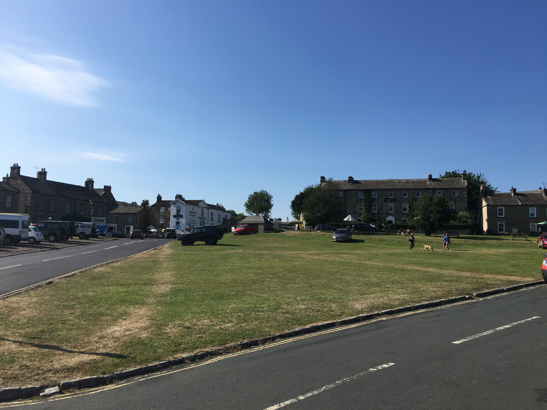
The Green, Reeth.
The village is known as the 'capital' of Swaledale. It was an extremely warm day therefore we did not start the walk until 1715 when it was so much cooler.
The village is known as the 'capital' of Swaledale. It was an extremely warm day therefore we did not start the walk until 1715 when it was so much cooler.
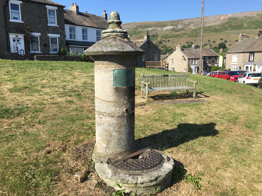
Reeth's public water supply circa 1868 installed by George Robinson of Richmond
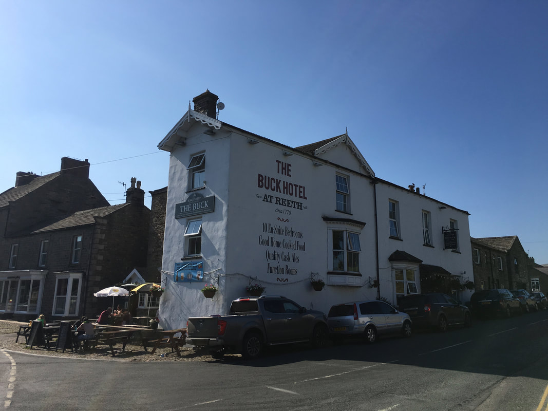
The Buck Hotel Reeth situated just off The Green - we were staying here for a couple of days
Nice to see somewhere which clearly gets very busy but does not take the mickey with its parking charges
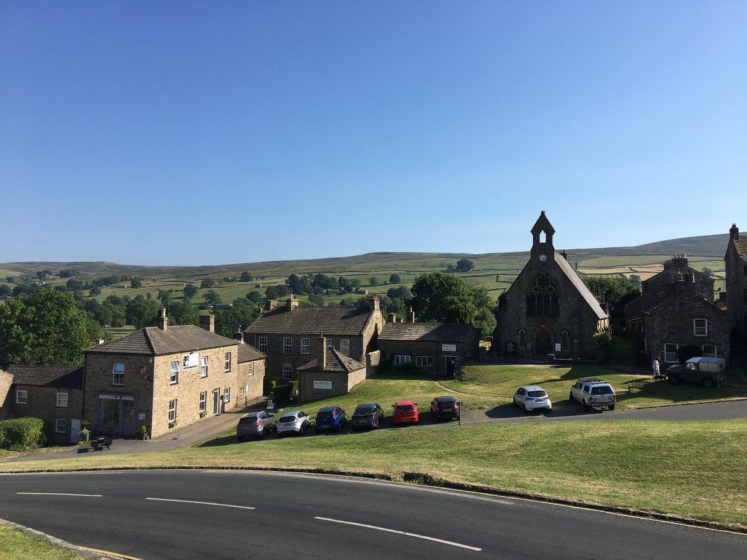
Another view of The Green at Reeth - this time from the other end of the village
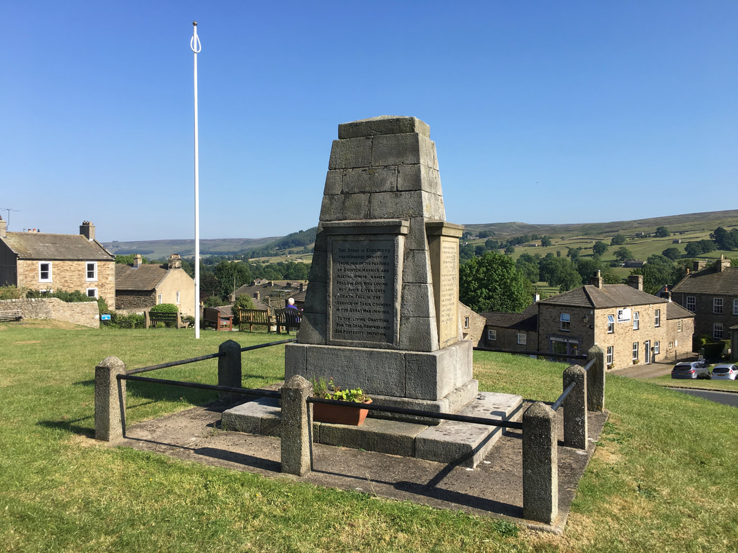
Reeth War Memorial
Reeth Evangelical Congregational Church
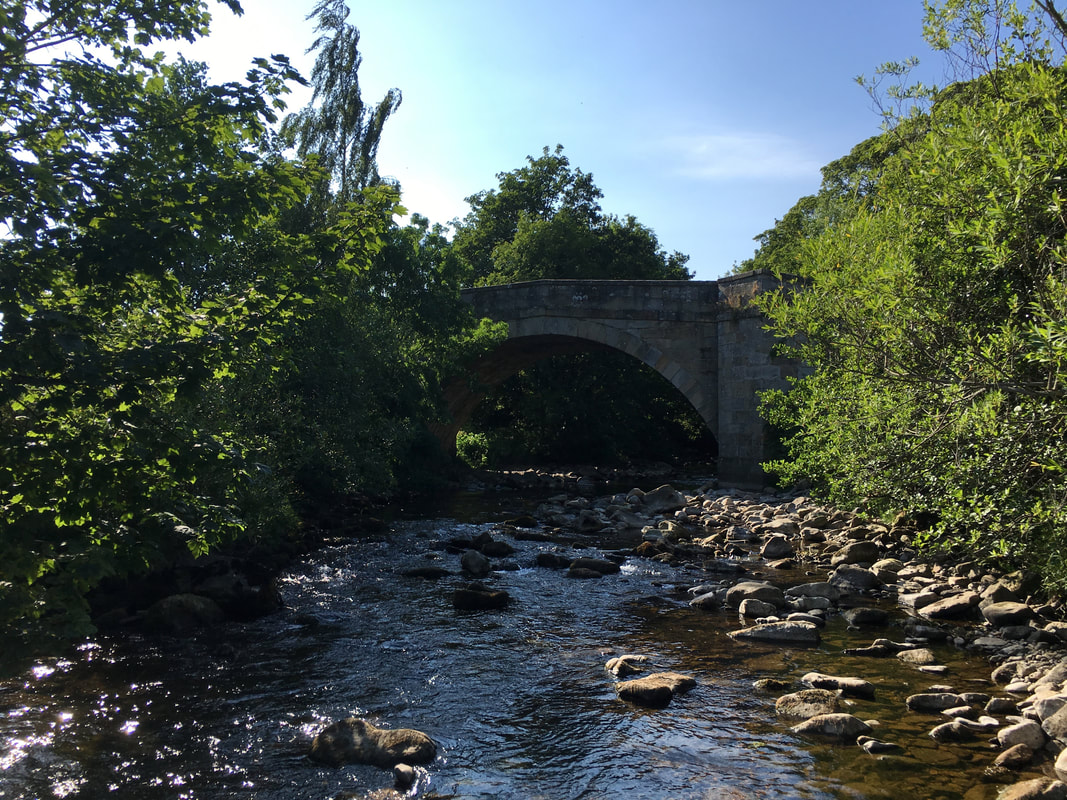
Reeth Bridge crossing Arkle Beck.
The bridge was built in the 18th Century and is Grade 2 listed. It has 3 segmental arches separated by cutwaters that form passing places on the road to enable pedestrians to step into in order to avoid being run over.
The bridge was built in the 18th Century and is Grade 2 listed. It has 3 segmental arches separated by cutwaters that form passing places on the road to enable pedestrians to step into in order to avoid being run over.
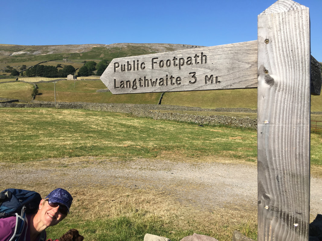
A hundred yards after crossing Reeth Bridge a footpath on the left heads to Langthwaite.
Angie is smiling as it was her Birthday today and I promised her a pastie and a Diet Coke in the pub at Langthwaite plus some Cider & Crisps when we got back to Reeth. Never let it be said that I don't know how to treat a lady on her birthday. Fudge as usual couldn't give a toss whose birthday it is.
Angie is smiling as it was her Birthday today and I promised her a pastie and a Diet Coke in the pub at Langthwaite plus some Cider & Crisps when we got back to Reeth. Never let it be said that I don't know how to treat a lady on her birthday. Fudge as usual couldn't give a toss whose birthday it is.
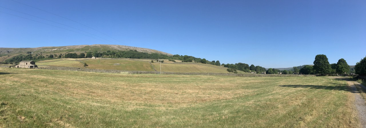
A panoramic view of Fremington Edge
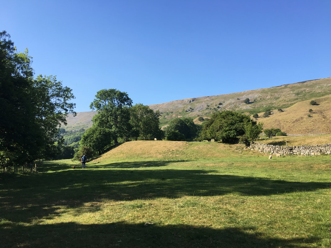
The path to Langthwaite handrails Arkle Beck for most of the way - this was a delightful section of the walk through Arkengarthdale
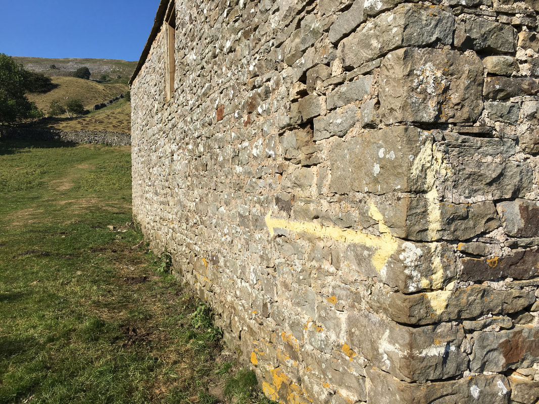
Can't beat a bit of paint on a farm building to show you the way
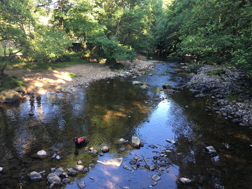
Once he was in, it took us ages to get Fudge out of Arkle Beck
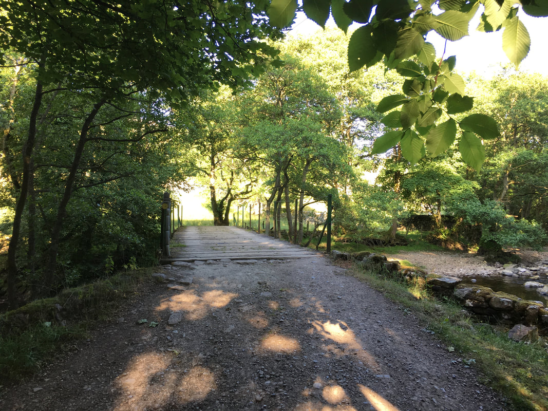
The footbridge over Arkle Beck
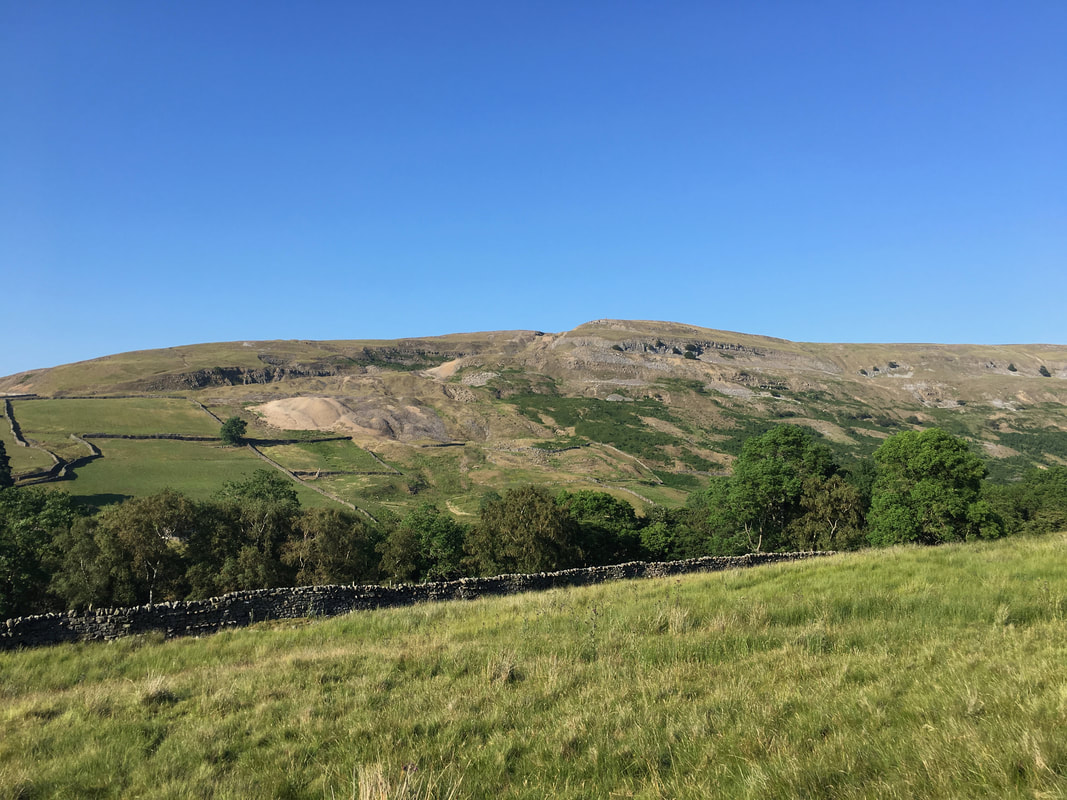
Looking across Arkengarthdale to our return route over Fremington Edge
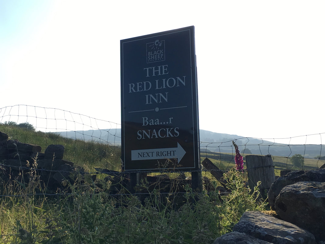
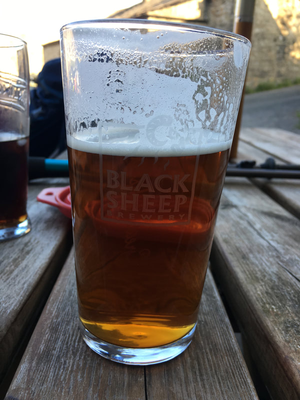
We had heard many good things about the pub in Langthwaite and were really looking forward to a nice cold beer on this warm evening. Clearly they have a sense of humour too.
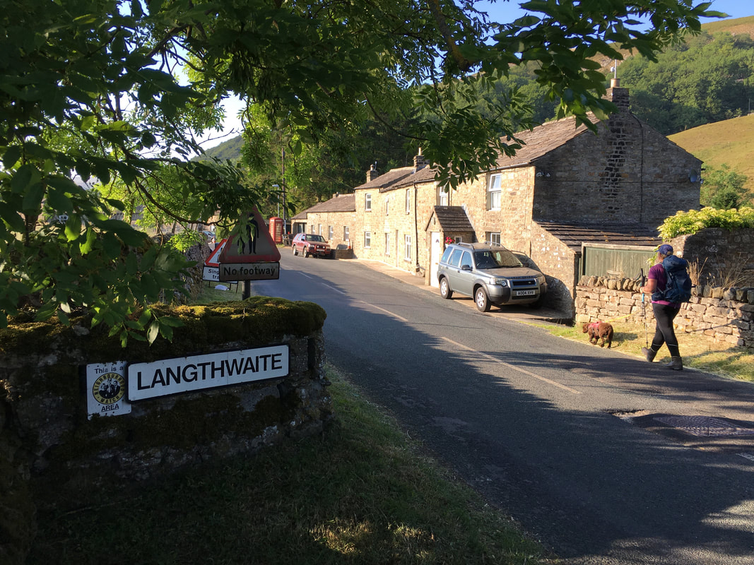
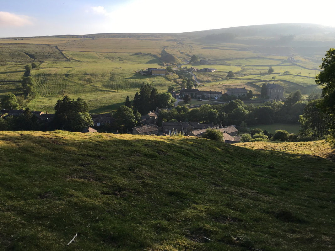
Dropping into the quiet and beautiful village of Langthwaite.
The village was used as one of the locations for the television series "All Creatures Great & Small" (1977 to 1991) starring Christopher Timothy & Robert Hardy.
The village was used as one of the locations for the television series "All Creatures Great & Small" (1977 to 1991) starring Christopher Timothy & Robert Hardy.
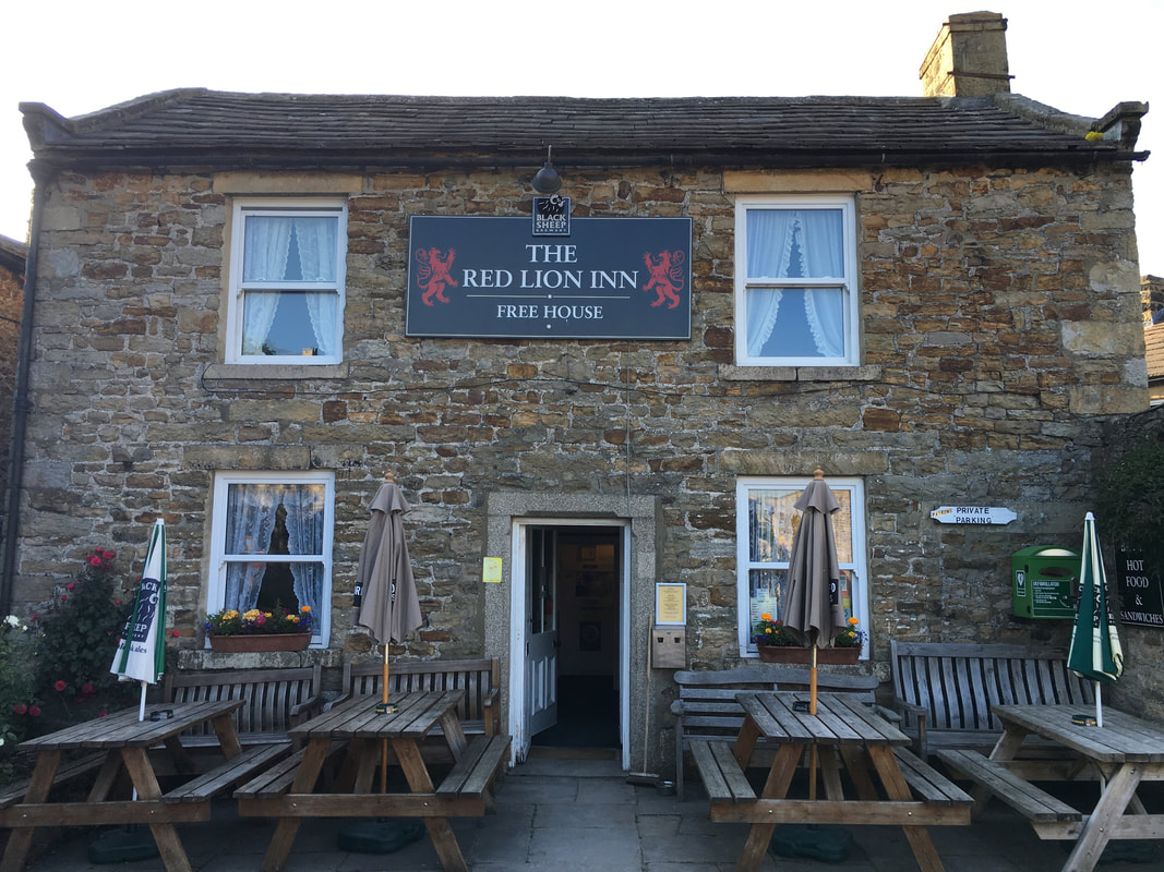
The Red Lion Inn, Langthwaite.
The pub has been run by the same person for over 50 years. They don't do food as such but the beer is very good and they do snacks & hot pasties which were excellent.
The pub has been run by the same person for over 50 years. They don't do food as such but the beer is very good and they do snacks & hot pasties which were excellent.
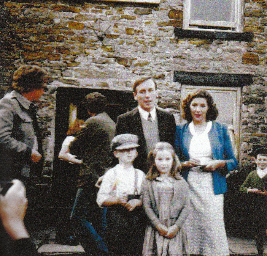
A photo taken during a break in filming from almost the exact same spot as the one above. Christopher Timothy as James Herriot & Carol Drinkwater who played his wife Helen.
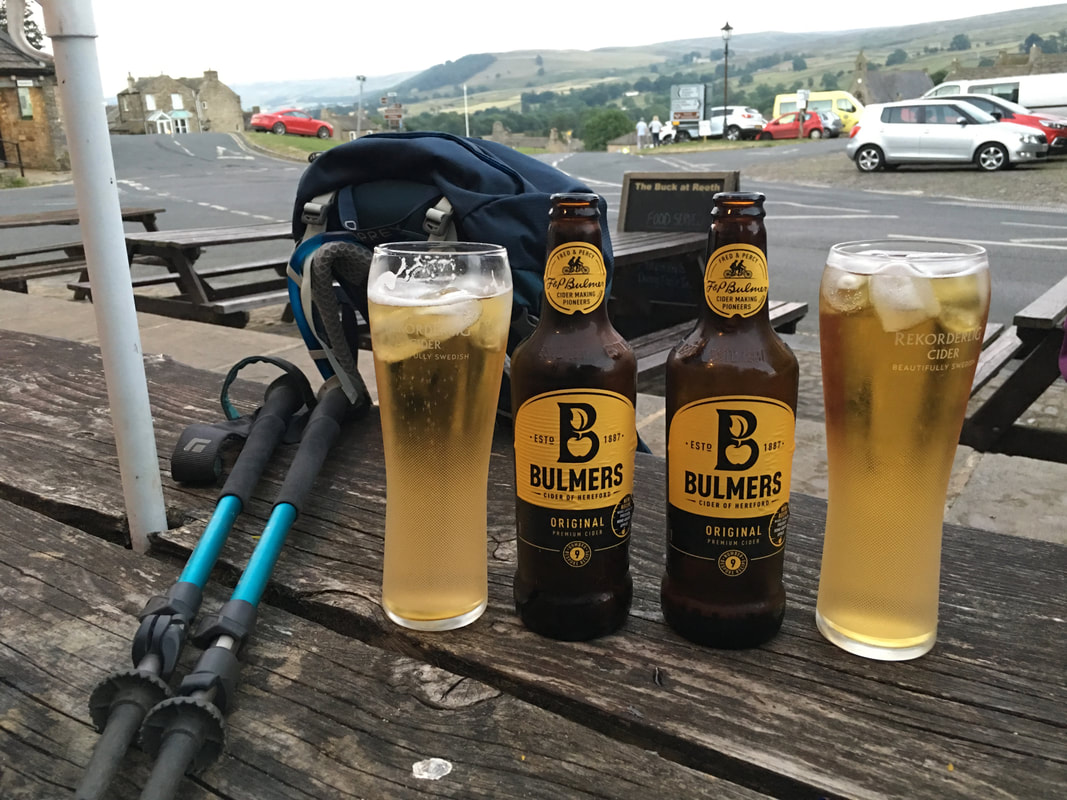
As you do - it would have been absolute sacrilege not to have one of these in such a lovely pub on an evening like this.
Langthwaite
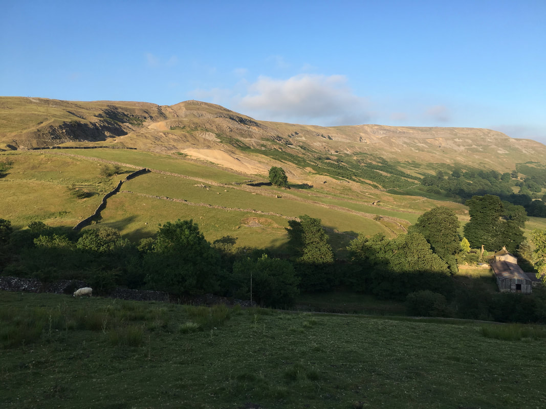
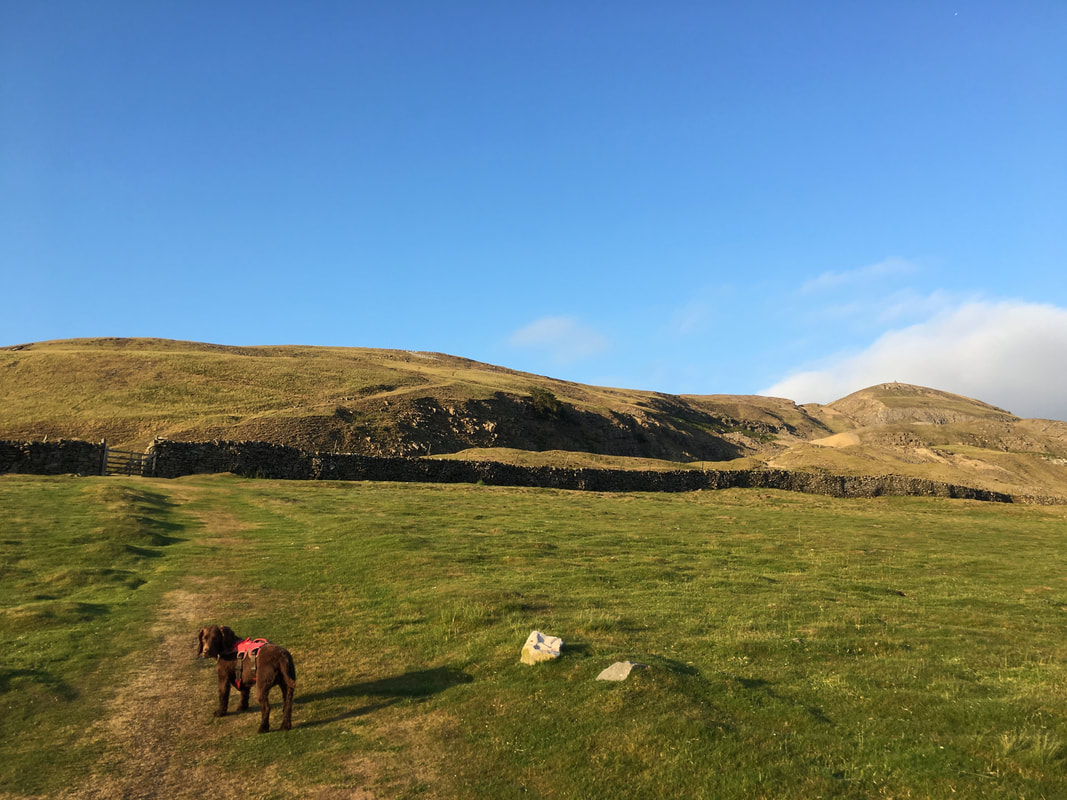
Fremington Edge from Booze.
Given its name, Booze surprisingly has no pub and was notorious when in 2008 Royal Mail announced it was withdrawing postal services to/from the hamlet on health and safety grounds because access to it involves an "excessively steep" rural track. This left local families to make a one-hour round-trip to Richmond and back to collect their mail. Postal services to the hamlet were restored after North Yorkshire County Council made road improvements.
Given its name, Booze surprisingly has no pub and was notorious when in 2008 Royal Mail announced it was withdrawing postal services to/from the hamlet on health and safety grounds because access to it involves an "excessively steep" rural track. This left local families to make a one-hour round-trip to Richmond and back to collect their mail. Postal services to the hamlet were restored after North Yorkshire County Council made road improvements.
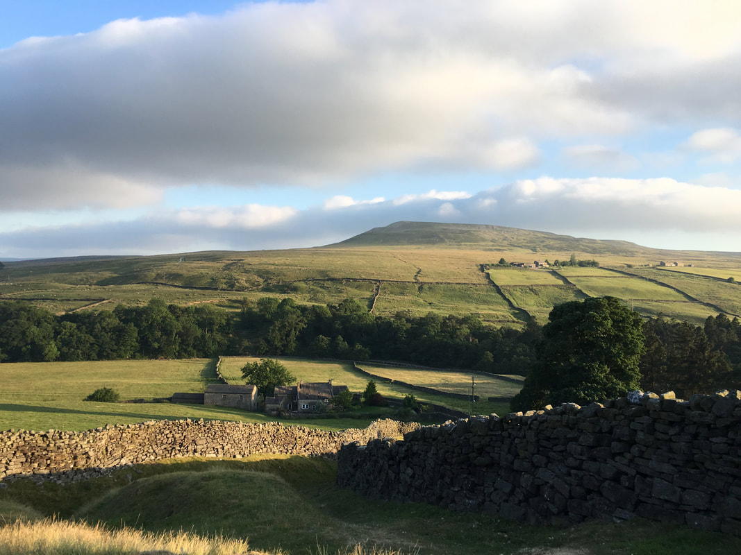
Looking across Arkengarthdale to Calver Hill
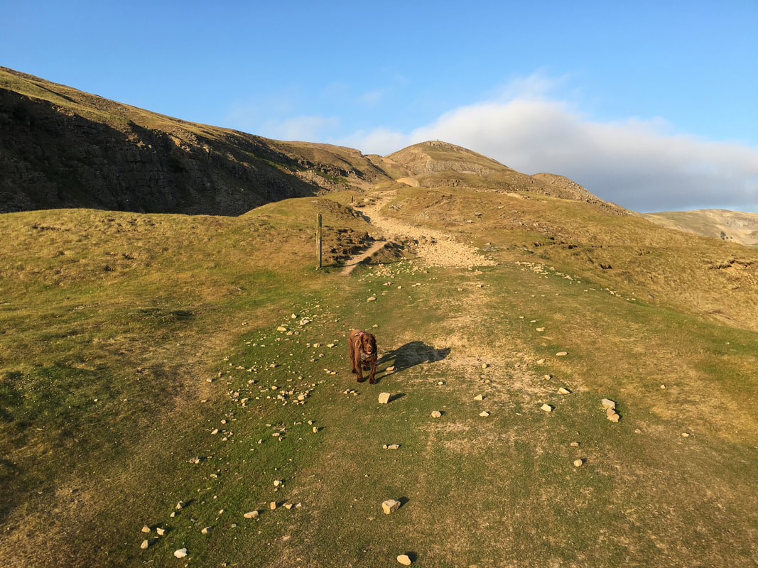
From Booze a lovely grassy path heads up towards Fell End on Fremington Edge
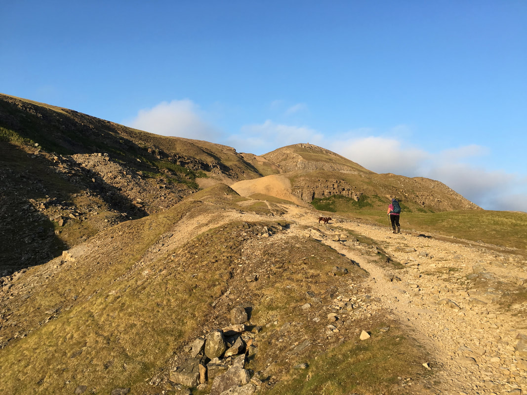
The route passes through old lead mine workings before reaching Fell End ahead
Passing through the old lead mine workings of Fell End Low Lead Mine
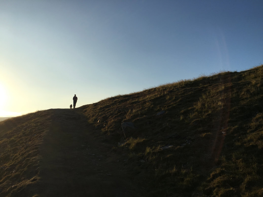
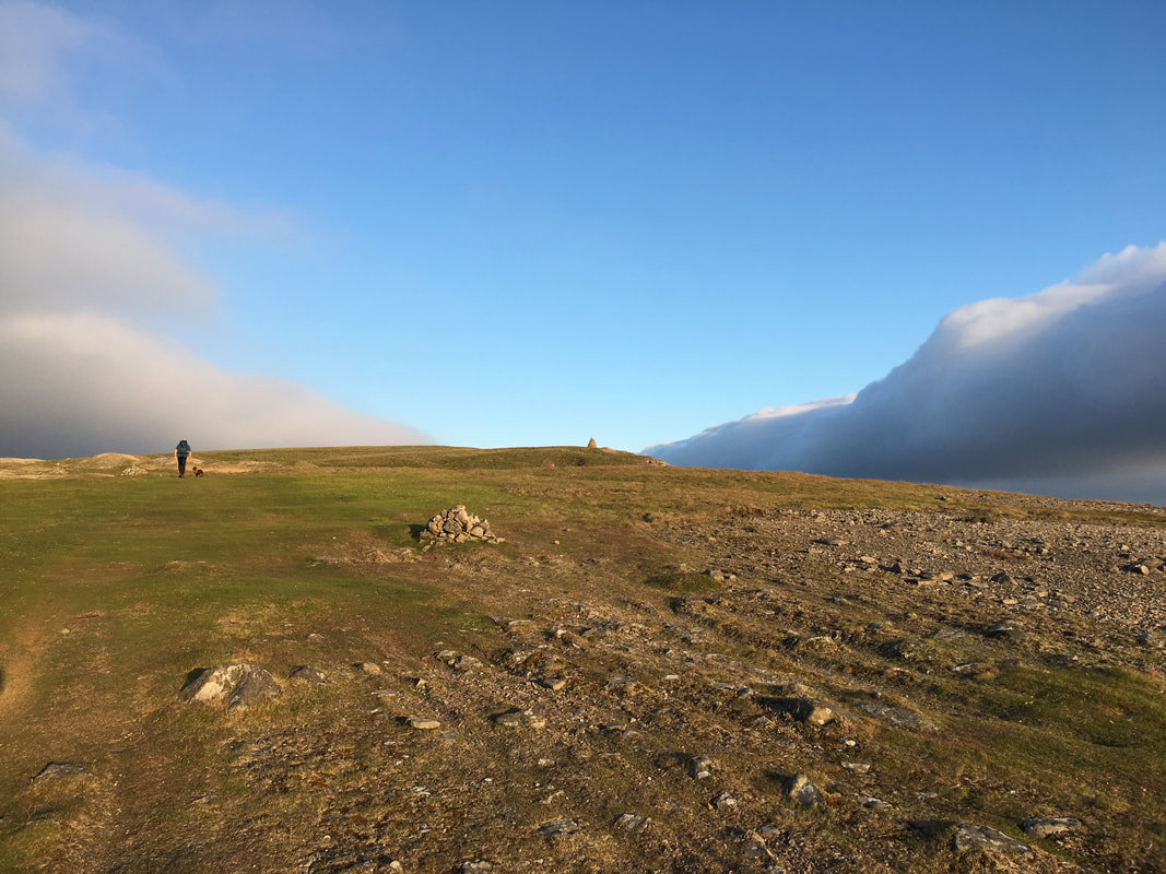
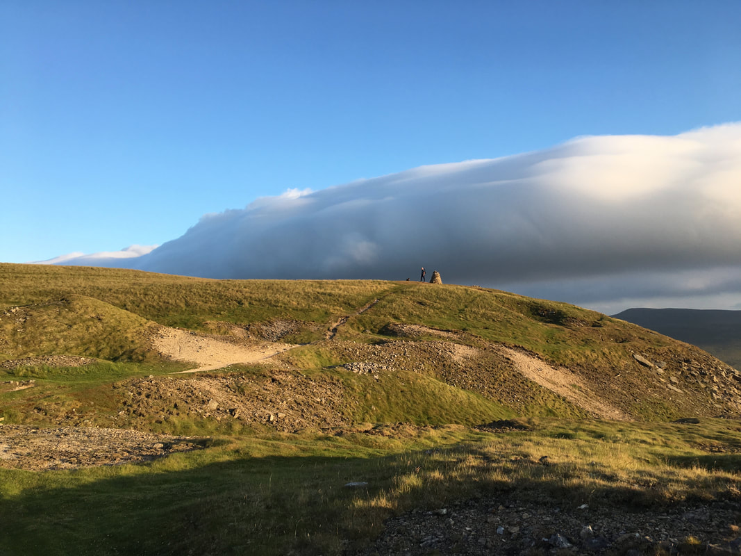
Angie & Fudge in silhouette as we approach the top of Fell End
It was still quite warm as we neared the top of Fell End
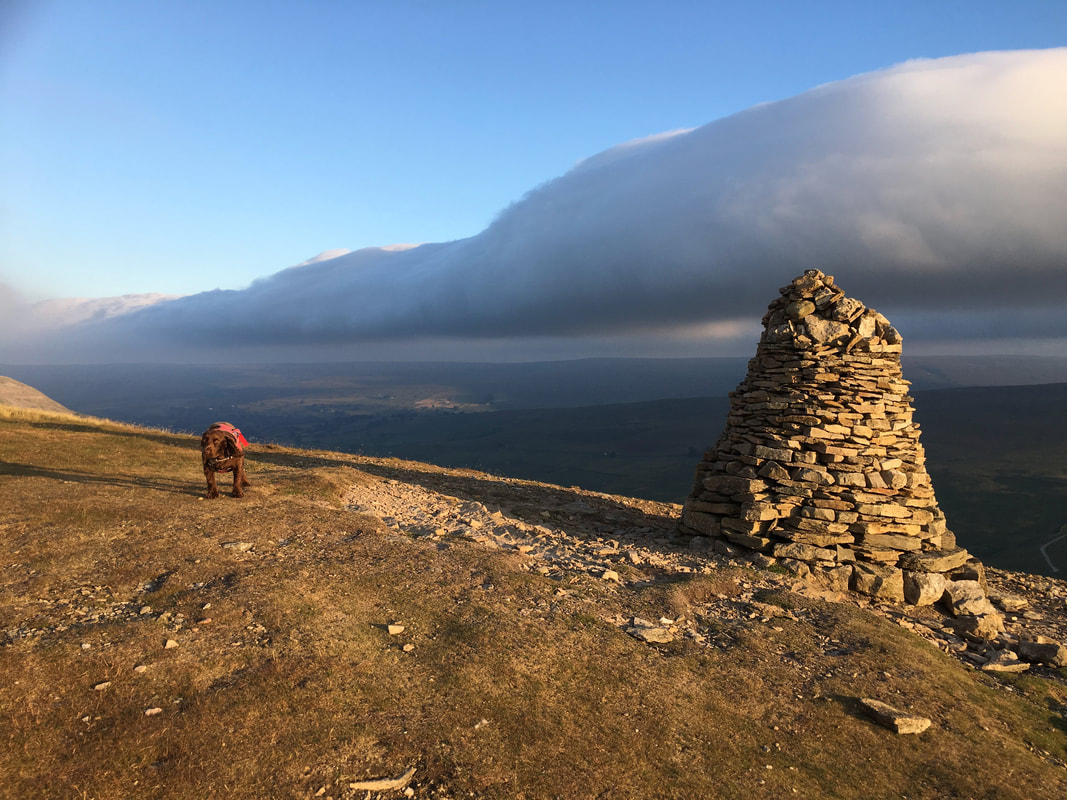
Cumulonimbus cloud above me as I stand on the summit of the 473m Fell End
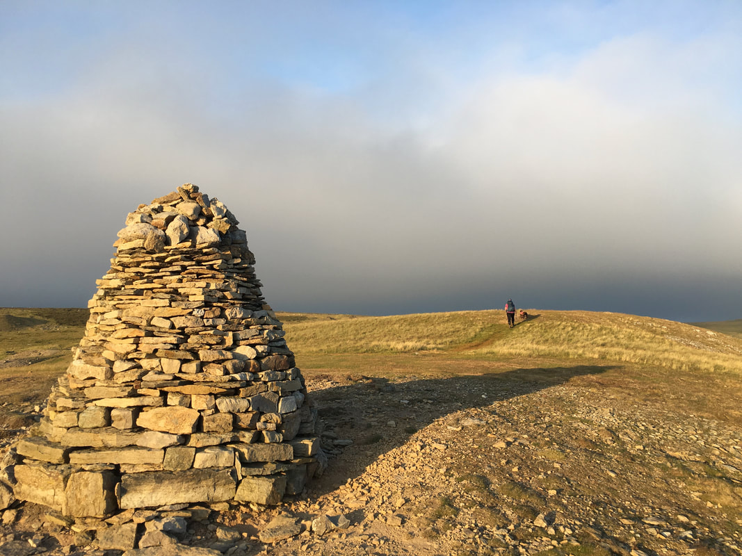
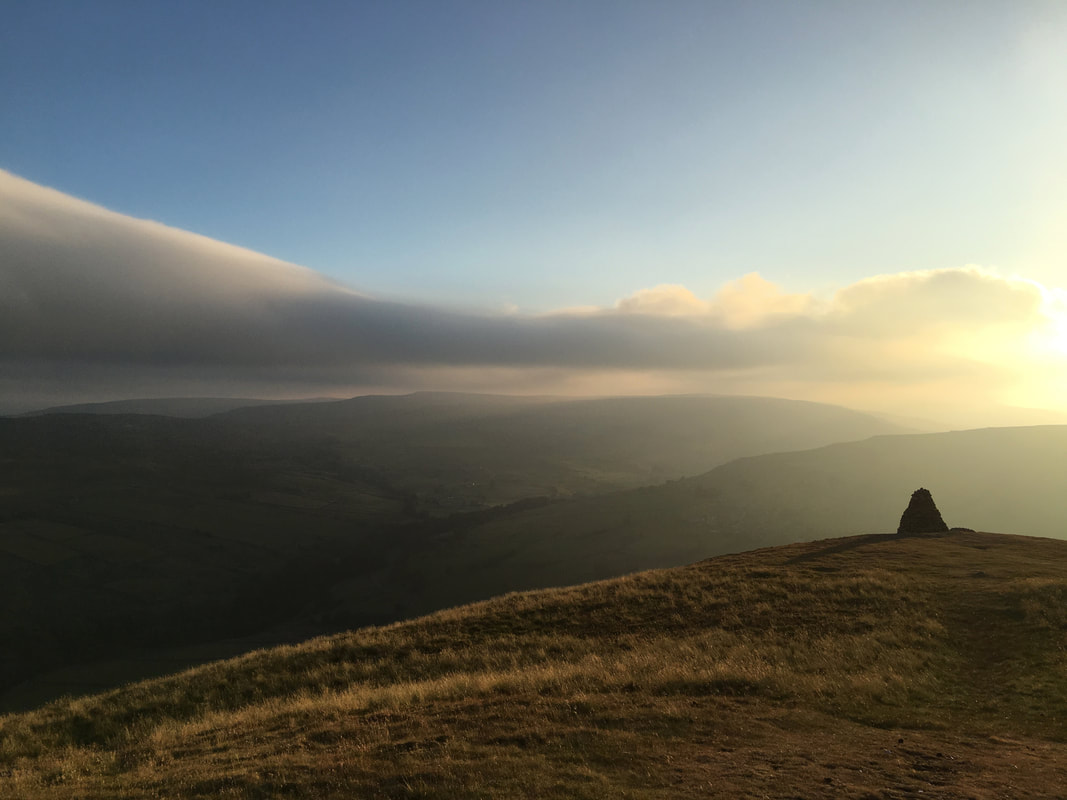
The impressive cairn on Fell End
From the cairn on Fell End we headed south east along Fremington Edge.
The edge is a steep limestone escarpment that dominates the village of Reeth and the lower part of Arkengarthdale. The escarpment runs for almost three miles from above High Fremington all the way to Fell End.
The edge is a steep limestone escarpment that dominates the village of Reeth and the lower part of Arkengarthdale. The escarpment runs for almost three miles from above High Fremington all the way to Fell End.
Nobody here and what a superb evening to enjoy this cracking walk along the escarpment.
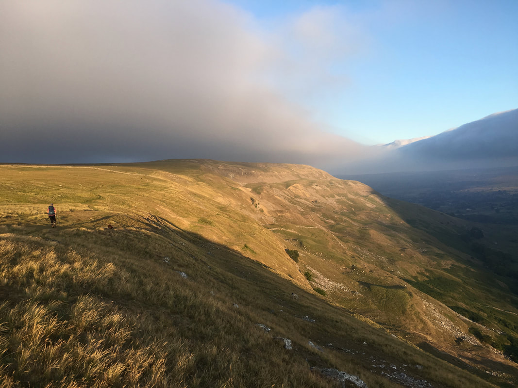
The view along Fremington Edge
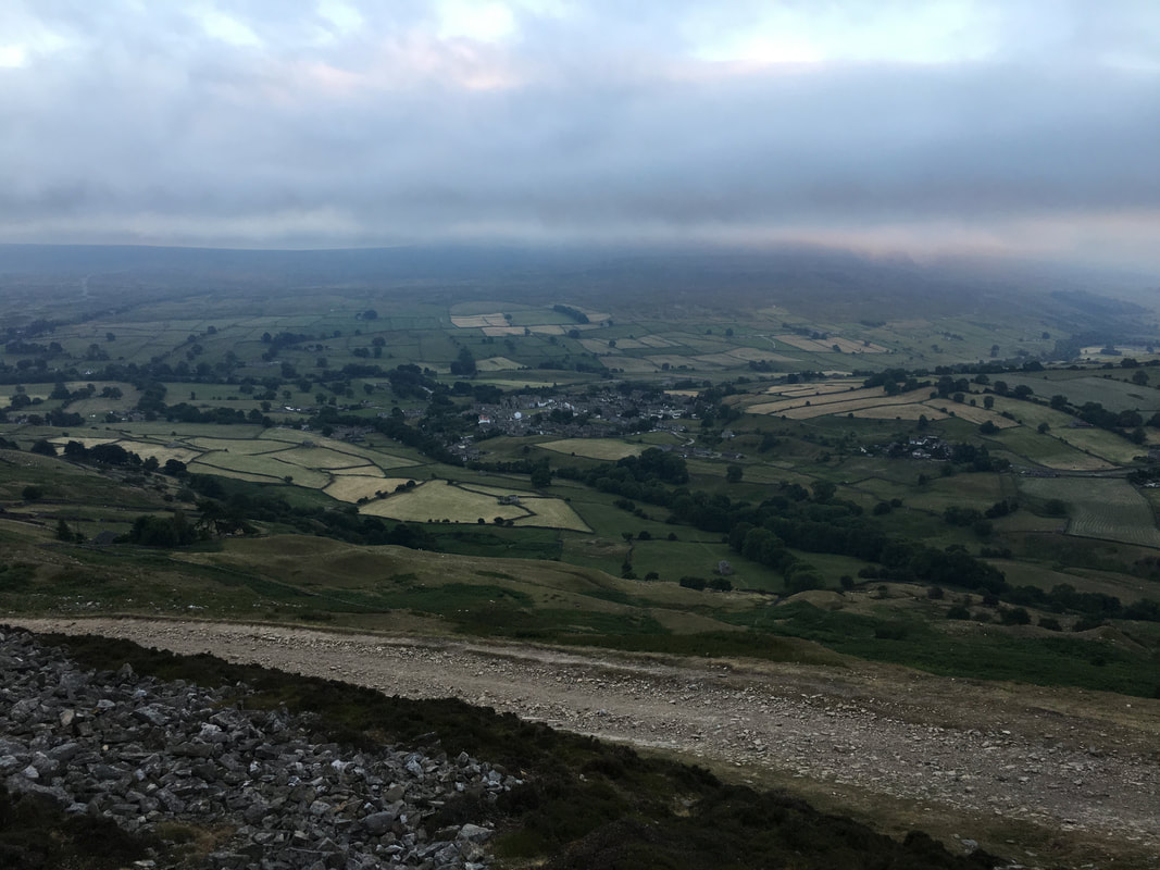
Reeth below in the fading light as we descend towards White House
Safely back in Reeth - it was now 2130 and time for a Cider I think
A perfect end to a lovely walk
