Blencathra - Wednesday 30 December 2020
Route
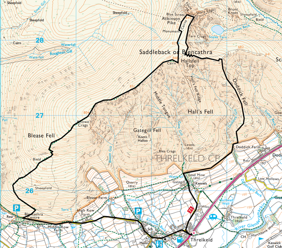
Threlkeld - Blencathra Centre - Knowe Crags (Blease Fell) - Gategill Fell - Blencathra (Hallsfell Top) - Atkinson Pike - Foule Crag - Doddick Fell - Gategill Farm - Threlkeld
Parking
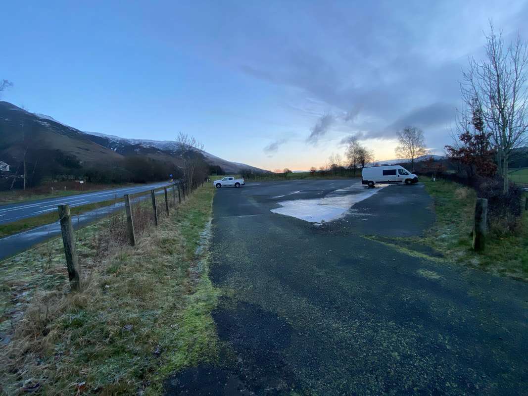
Threlkeld Cricket Club on the A66 (Donation) - Grid Reference is NY 3254 2541. Nearest postcode is CA12 4TZ. If coming from Keswick the access point is via a filter lane just after the turning into Threlkeld.
Mileage
7.5 miles
Terrain
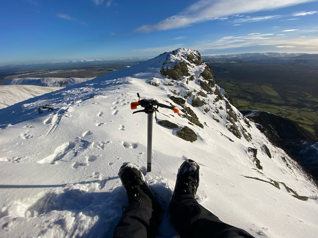
Snowline today was about 400m (1310ft). Whilst the snow on the ground was soft underfoot for most of the route, there were sections of ice underneath therefore care needed to be taken. I wore micro spikes once the snow line was reached and did not remove them until back down on the valley floor. My crampons stayed in the bag today although I did deploy my ice axe descending Doddick Fell.
Weather
Whilst bitterly cold the sun shone all day therefore the visibility was excellent.
Time Taken
5hrs
Total Ascent
2670ft (814m)
Wainwrights
1
Map
OL5 - The English Lakes (North Eastern Area)
Walkers
Dave & Fudge
|
GPX File
|
| ||
If the above GPX file fails to download or presents itself as an XML file once downloaded then please feel free to contact me and I will send you the GPX file via e-mail.
Route Map
The walk today started from Threlkeld Cricket Club who kindly allow parking for a small donation. The donation boxes are located either end of the vehicle & pedestrian entrances.
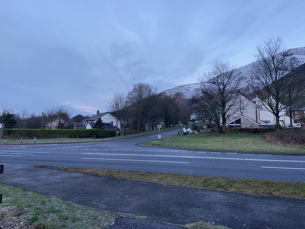
From the Cricket Club it is necessary to cross the A66 to access Threlkeld
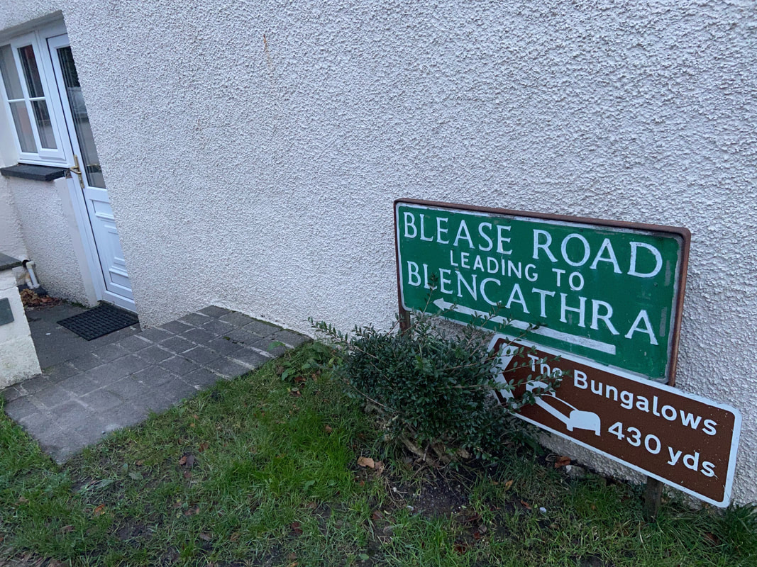
Blease Road does not lead directly to Blencathra but is used to access some of the routes that lead to the top.
The road is followed all the way to The Blencathra Centre from where just beyond it becomes a rough track.
The road is followed all the way to The Blencathra Centre from where just beyond it becomes a rough track.
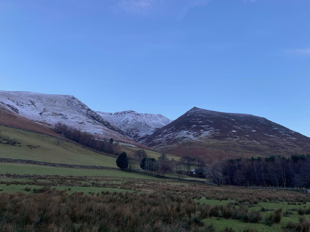
Knowe Crags on Blease Fell, Gategill Fell and the pointed top of Knott Halloo
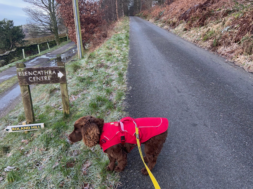
Just before The Blencathra Centre the road splits with the left hand fork going on to Middle Row Farm. We continued to the right towards The Blencathra Centre - try as we might we could not find Roland Hill, maybe he had just left.
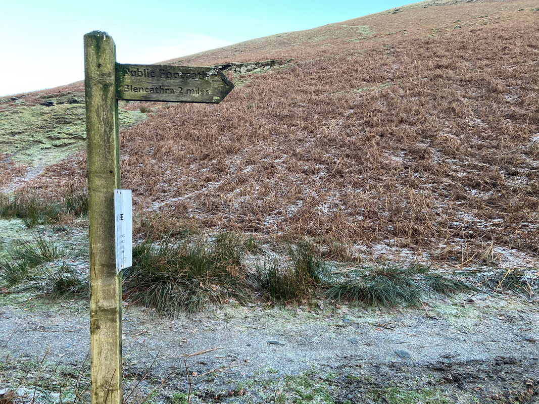
Just after The Blencathra Centre a parking area is reached from where the path to Blencathra via Blease Fell is signposted.
Lonscale Fell from the ascent of Blease Fell
The ascent of Blease Fell.
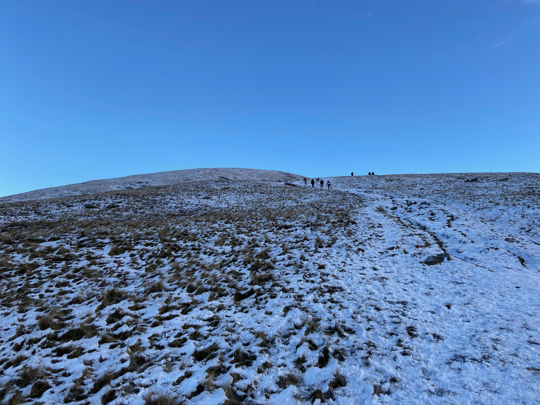
Despite the fact that there were a few people on the ascent I was hoping that once I was up on the ridge that it wouldn't be so busy.
Despite the fact that there were a few people on the ascent I was hoping that once I was up on the ridge that it wouldn't be so busy.
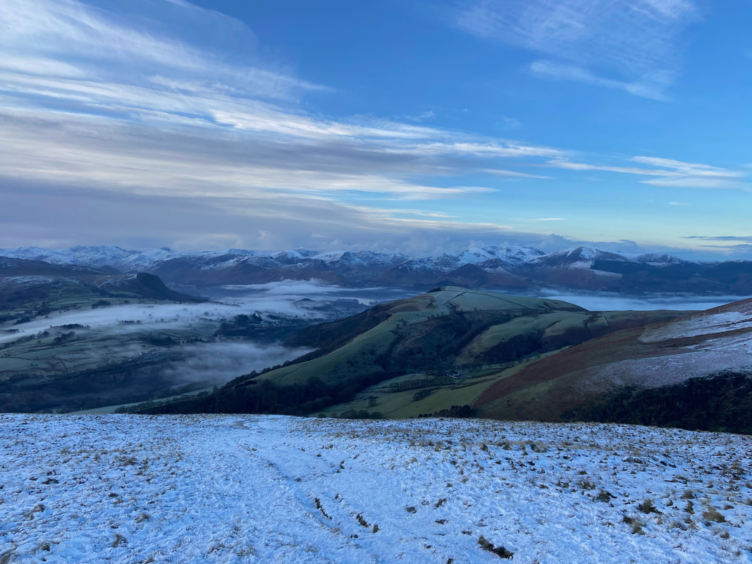
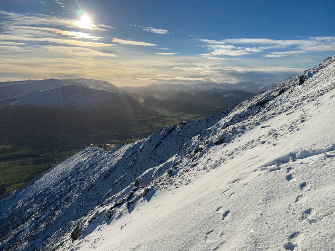
The ascent of Blease Fell grants fantastic views - looking to Latrigg with an inversion in the valley below and over Derwent Water.
The North Western Fells in the distance were looking magnificent in this light.
The North Western Fells in the distance were looking magnificent in this light.
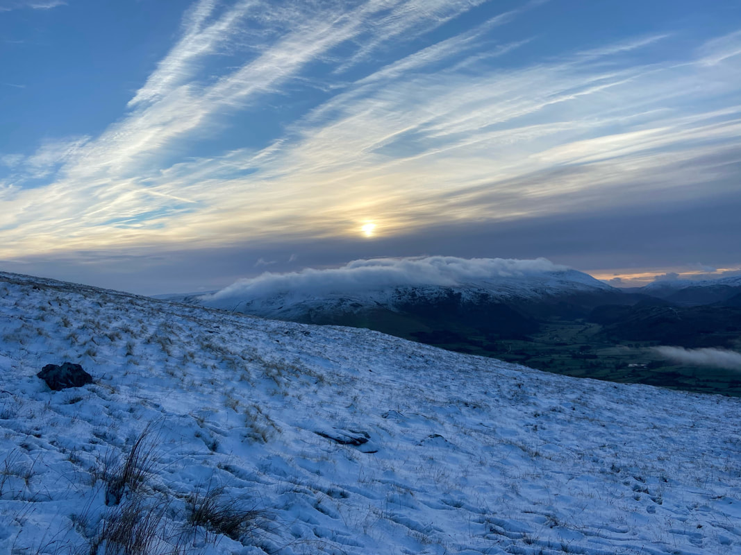
Clough Head & The Dodds with their cloudy cap on
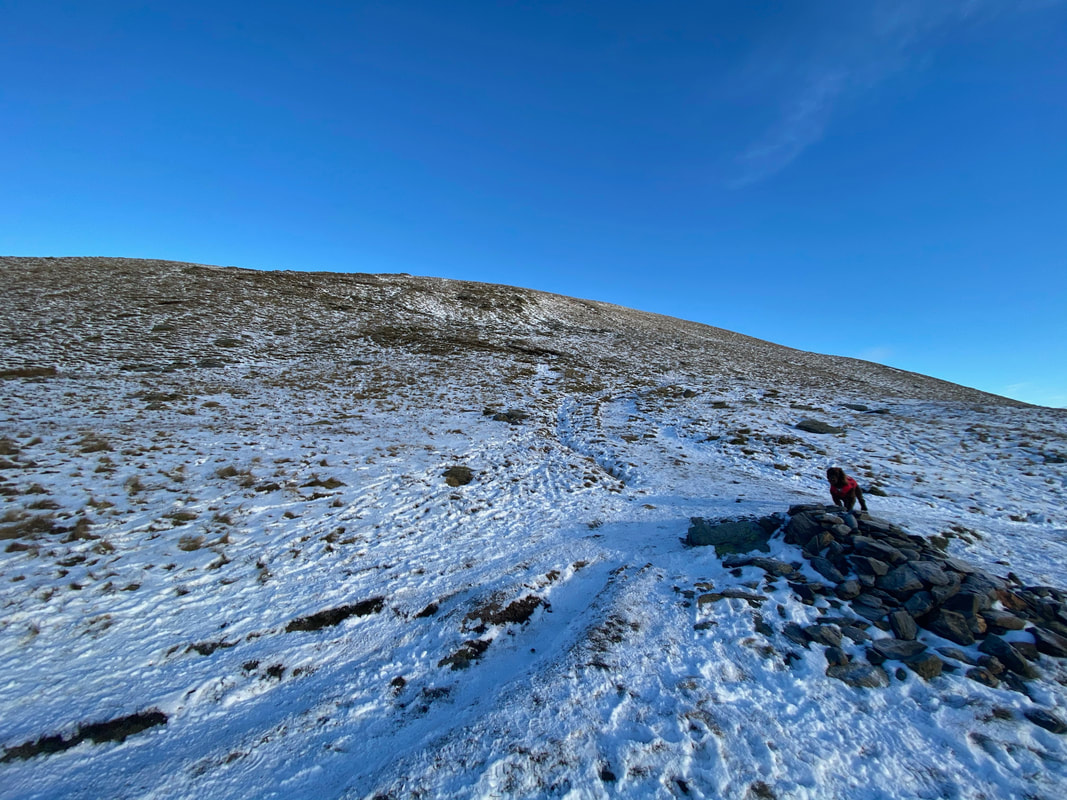
Several large cairns adorn the path and guide the walker up the ascent of Blease Fell although to be fair the route up is never in doubt.
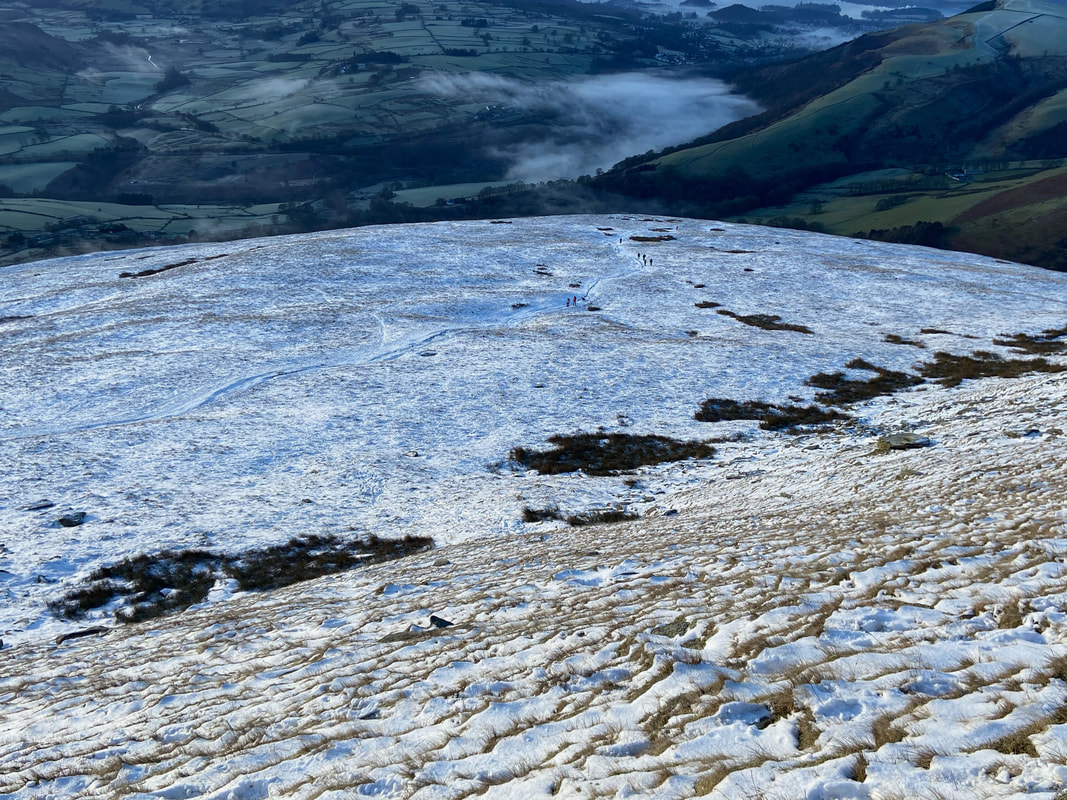
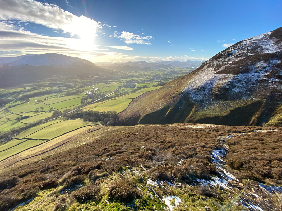
Looking back down to my ascent of Blease Fell.
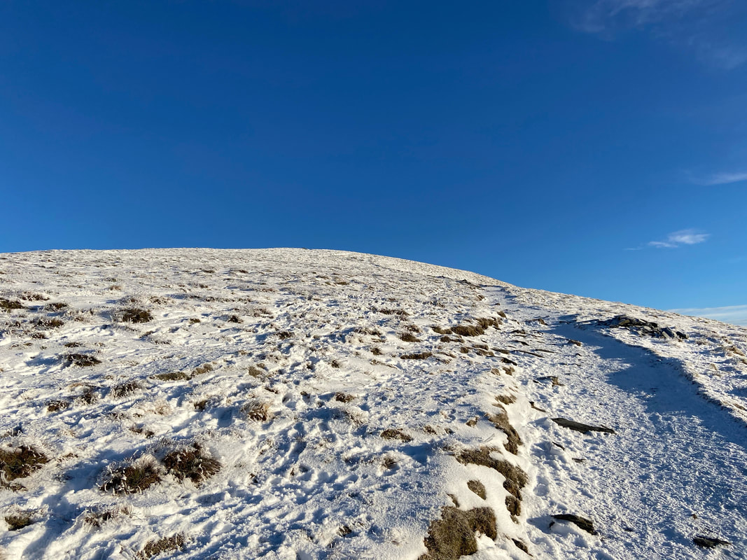
Whilst the snow was powdery it masked solid ice underneath therefore it was time to put the micro spikes on.
Whilst the snow was powdery it masked solid ice underneath therefore it was time to put the micro spikes on.
A little higher up and the Skiddaw Range made an appearance over the top of Lonscale Fell
The gradient eased as we approached the ridge line and the summit of Blease Fell
Knowe Crags, the summit of Blease Fell.
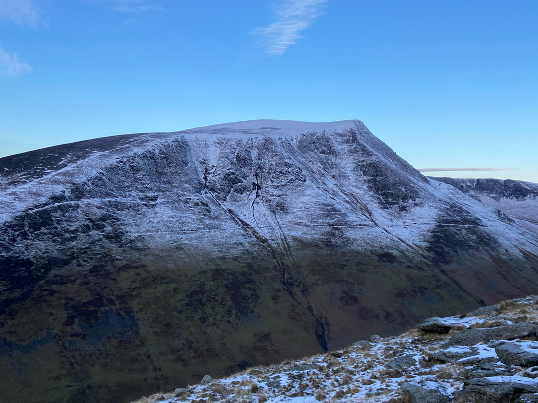
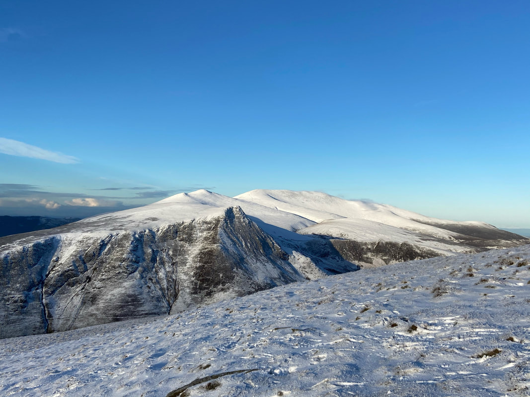
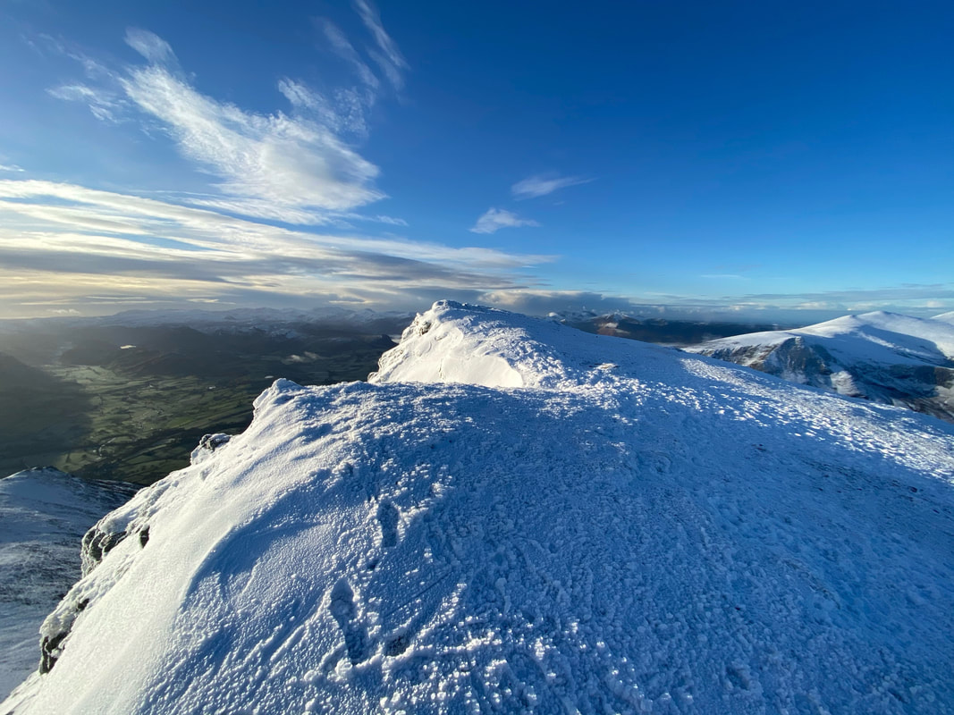
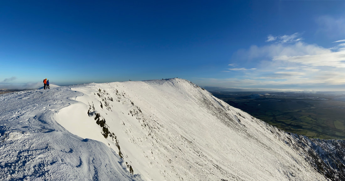
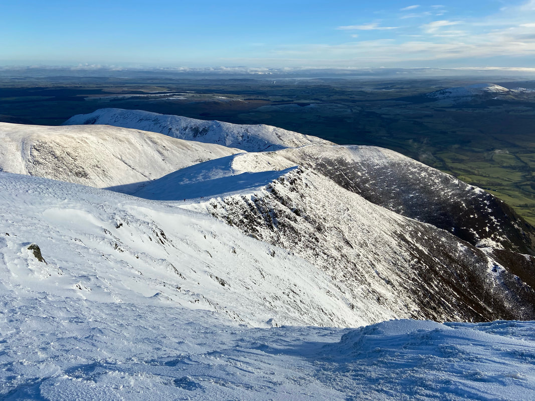
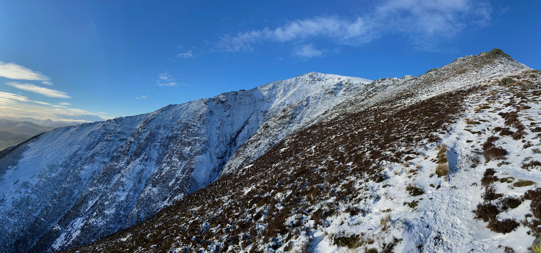
As you can see, it was a beautiful day today as we look towards Gategill Fell, Blencathra & Atkinson Pike
As you can see, it was a beautiful day today as we look towards Gategill Fell, Blencathra & Atkinson Pike
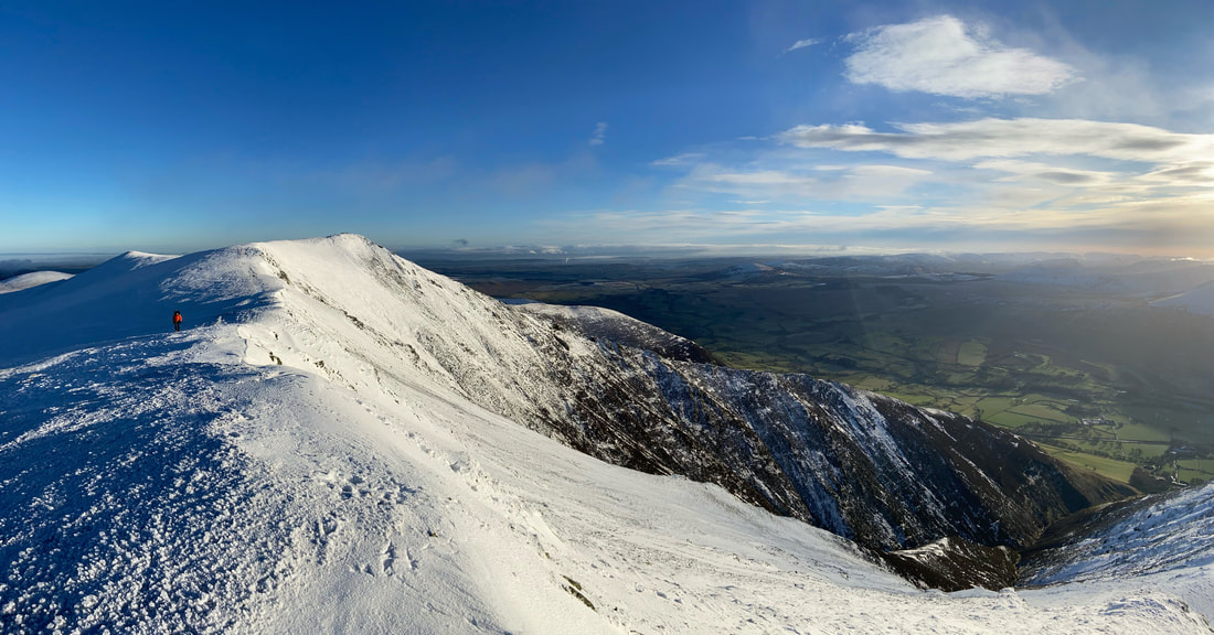
A closer view of our transit over to Gategill Fell.
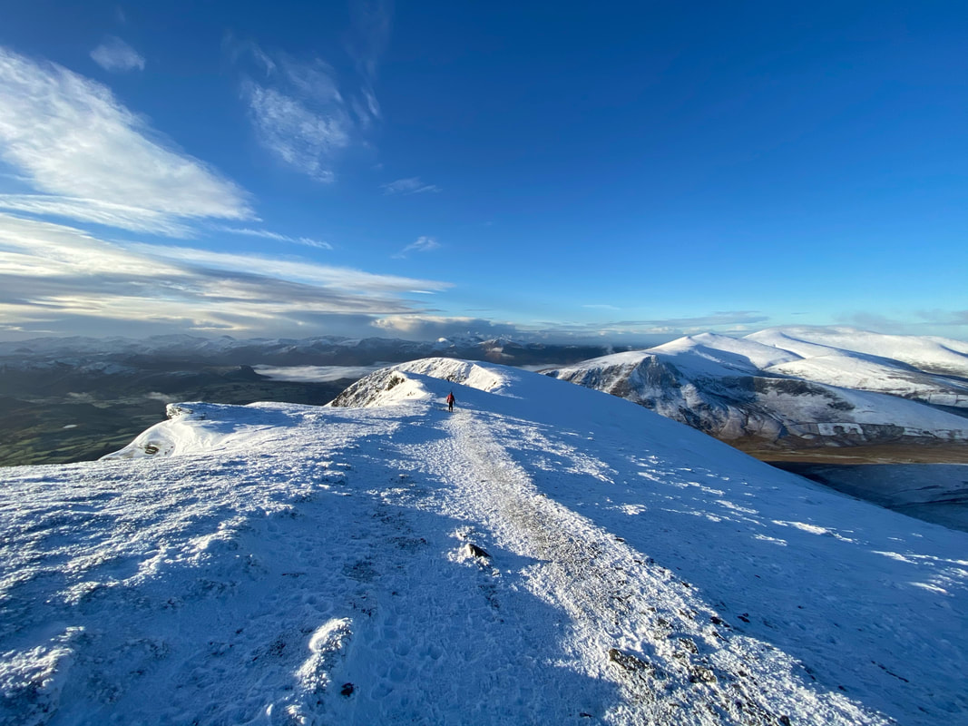
As can be seen, cornicing was already starting to form therefore care needed to be taken along the ridge.
As can be seen, cornicing was already starting to form therefore care needed to be taken along the ridge.
Looking back to Knowe Crags
Another view back along the ridge line to Knowe Crags from near the summit of Gategill Fell.
If I was to be brutally honest, it does not get much better than this apart from the fact that Angie wasn't with us today.
If I was to be brutally honest, it does not get much better than this apart from the fact that Angie wasn't with us today.
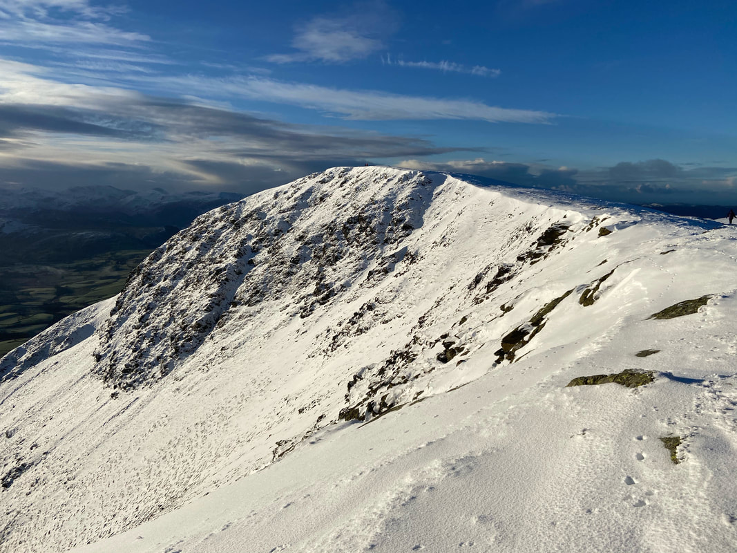
The summit of Gategill Fell looking to Blencathra
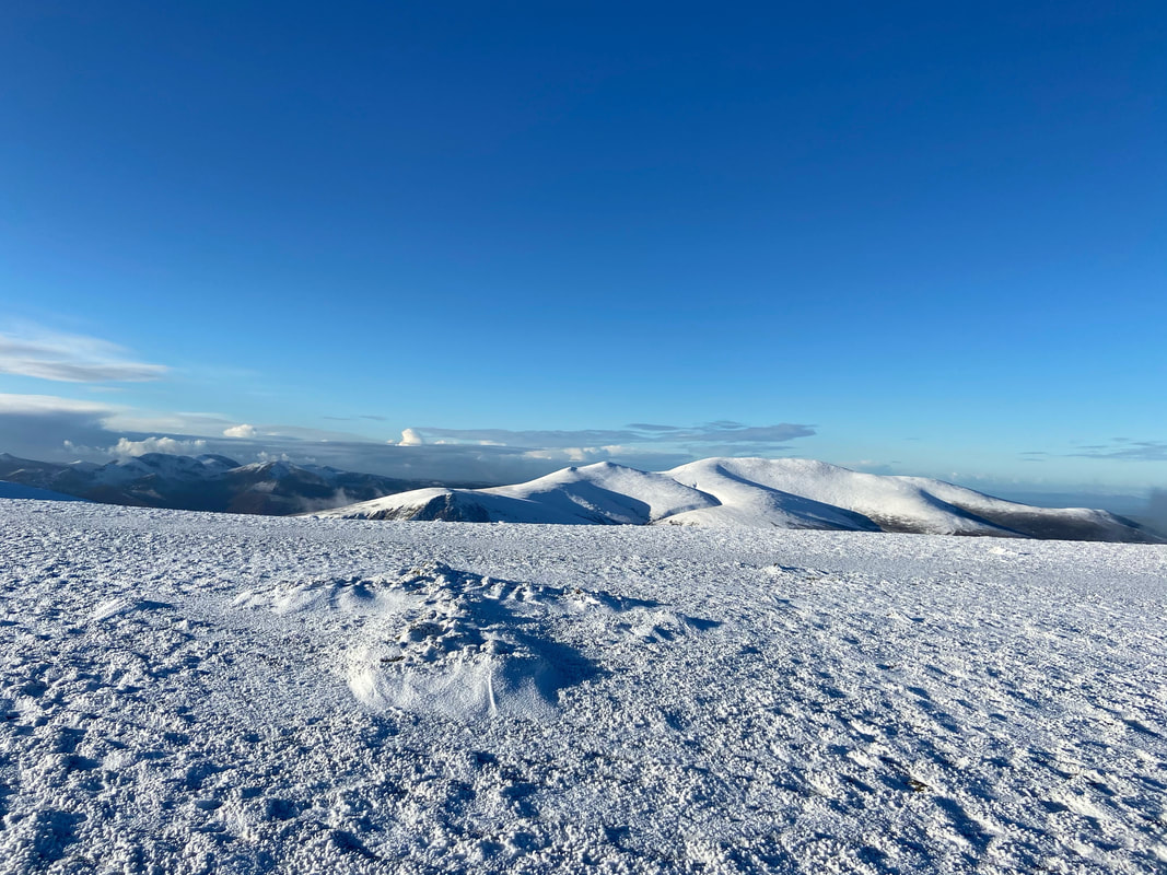
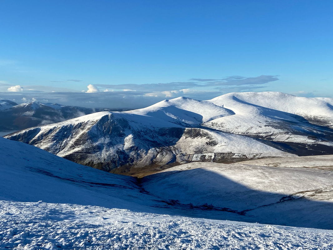
Another view of the summit of Gategill Fell, this time looking to the North Western Fells & Skiddaw
From Gategill Fell we continued along the ridge to Blencathra with Halls Fell ridge to the right
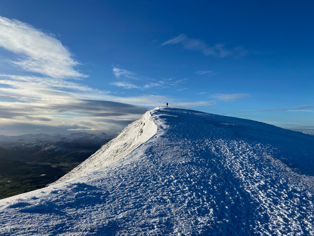
A lone walker on the summit of Gategill Fell.
I had a chat with this chap for about 5 minutes, he was thinking of descending via Gategill Fell providing the summit exit was ok.
I had a chat with this chap for about 5 minutes, he was thinking of descending via Gategill Fell providing the summit exit was ok.
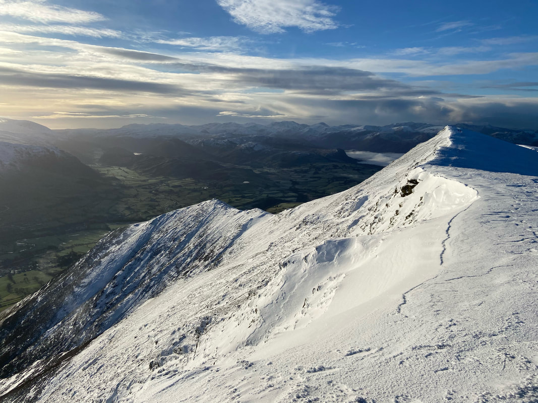
The descent from Gategill Fell down to Knott Halloo with more cornicing evident along the ridge.
This is the only ascent/descent of Blencathra we are yet to do therefore we must remedy that soon.
This is the only ascent/descent of Blencathra we are yet to do therefore we must remedy that soon.
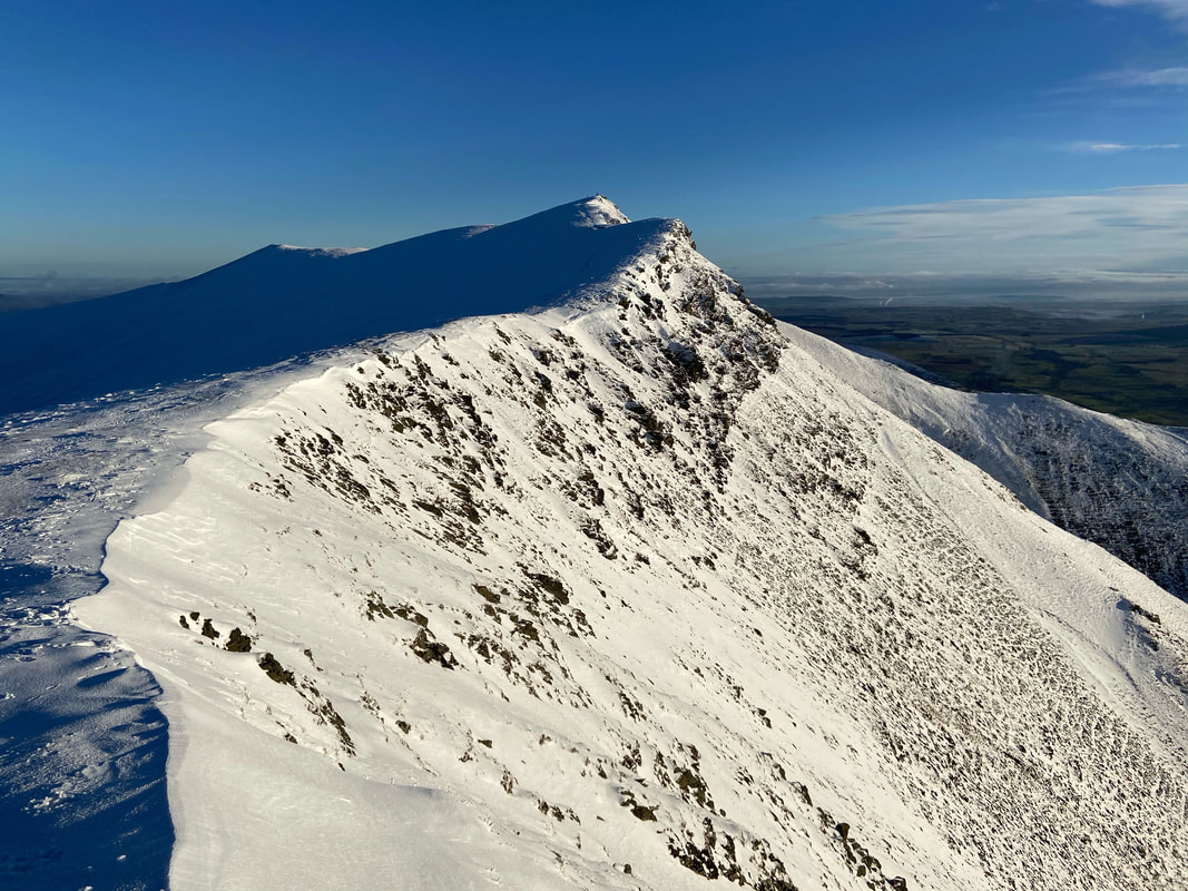
Blencathra & the upper reaches of Halls Fell ridge
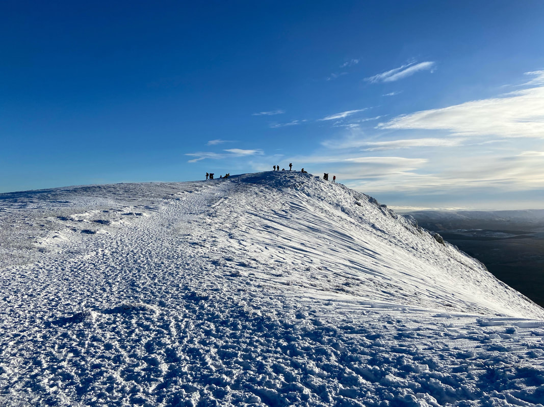
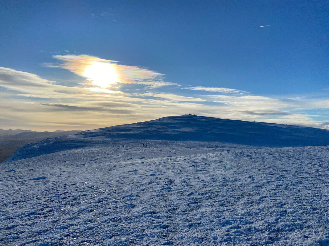
Approaching the summit of Blencathra and as you can see it was very busy up here today
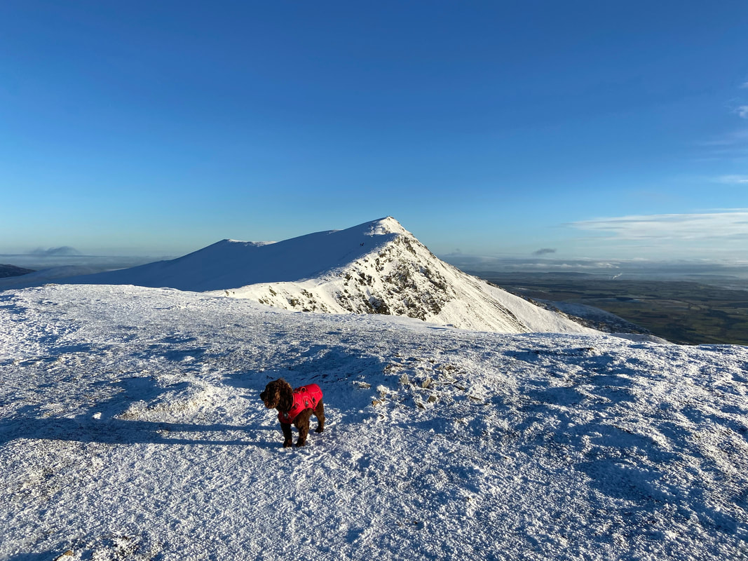
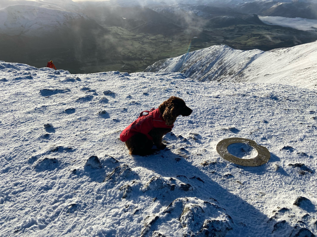
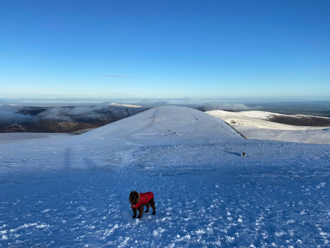
A disinterested (and probably hungry) Fudge on the summit of Blencathra
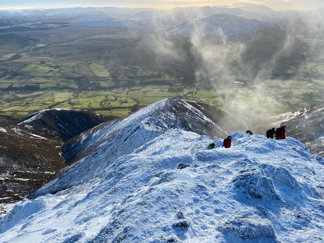
From the summit I wandered the few yards to the east to have a quick look down the Halls Fell ridge.
Ordinarily, I would probably have come up this way today but (a) not with a dog and (b) it was too busy for me. Fudge has ascended & descended via this route a few times but the conditions today and the amount of people on the ridge made it off limits for him.
Ordinarily, I would probably have come up this way today but (a) not with a dog and (b) it was too busy for me. Fudge has ascended & descended via this route a few times but the conditions today and the amount of people on the ridge made it off limits for him.
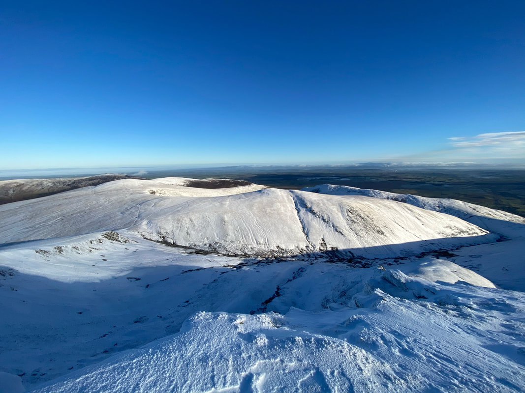
Before nipping over to Atkinson Pike I had a quick look at our descent route. The Pennines are in the far distance with the long ridge of Souther Fell centre left. In the centre of shot is Doddick Fell with Scales Fell just behind. At this point I hadn't made my mind up which way off the mountain I was going to use - however I had several options.
Our route via the Saddle over to Atkinson Pike from the summit of Blencathra
Looking back to Blencathra from near the cross of stones. The light today was just fantastic.
The White Cross just north of The Saddle
On a good day the White Cross can clearly be seen from Blencathra's summit. The cross is made up of many crystallised white stones and owes its existence to Harold Robinson of Threlkeld. The original cross was much smaller than this and was first placed here to commemorate a walker who lost his life on an adjacent rough slope. Mr Robinson collected more stones of locally veined quartzite and extended the cross to its present size. (Blencathra 33)
On a good day the White Cross can clearly be seen from Blencathra's summit. The cross is made up of many crystallised white stones and owes its existence to Harold Robinson of Threlkeld. The original cross was much smaller than this and was first placed here to commemorate a walker who lost his life on an adjacent rough slope. Mr Robinson collected more stones of locally veined quartzite and extended the cross to its present size. (Blencathra 33)
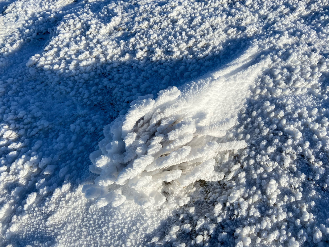
The snow was making the plant life up here look very pretty.
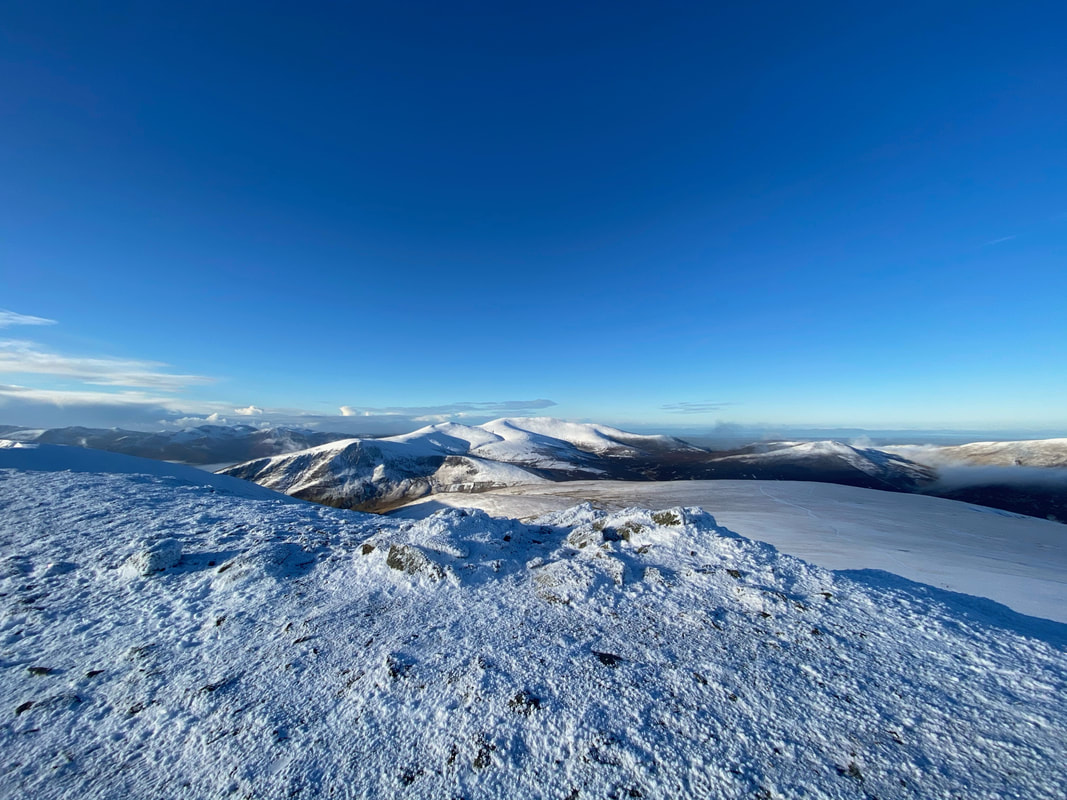
The view from Atkinson Pike down Roughten Gill to Lonscale Fell, Burnt Horse & the Skiddaw Range
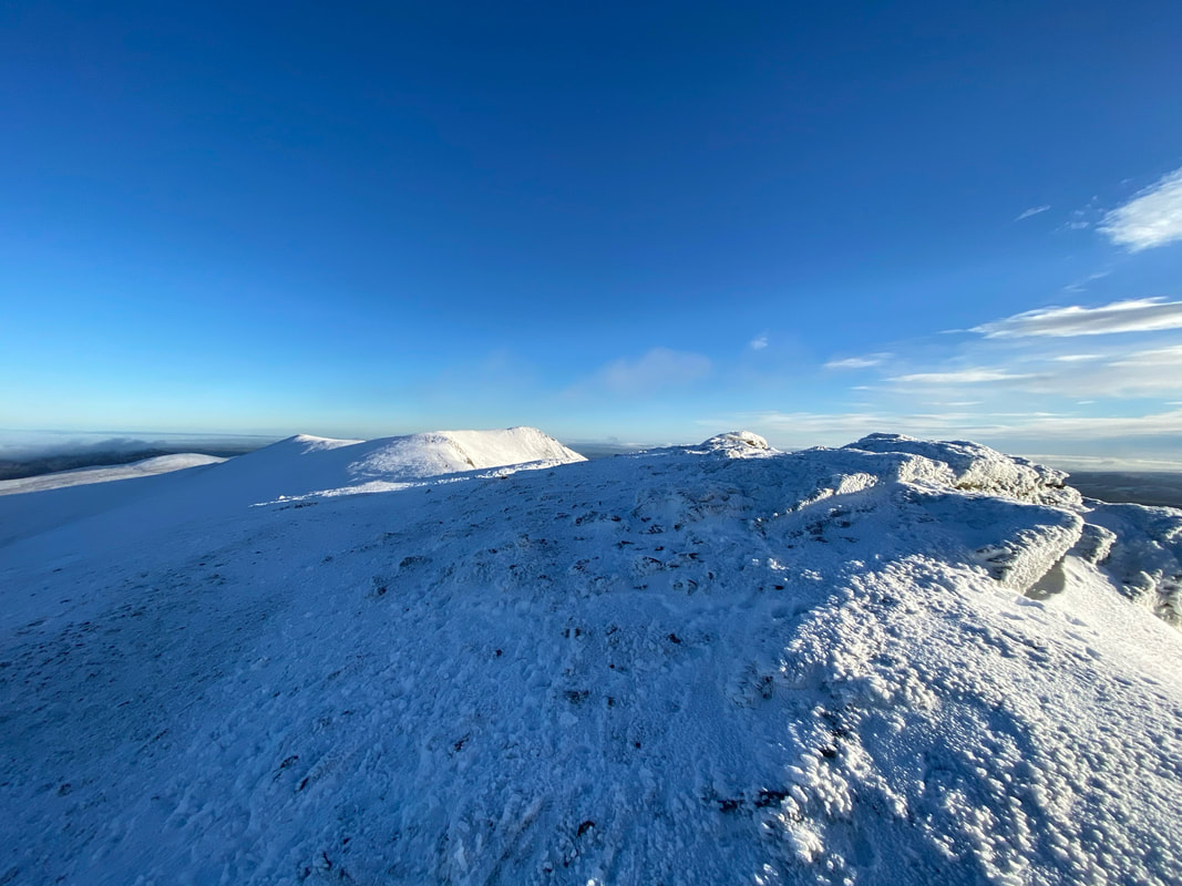
The summit of Atkinson Pike
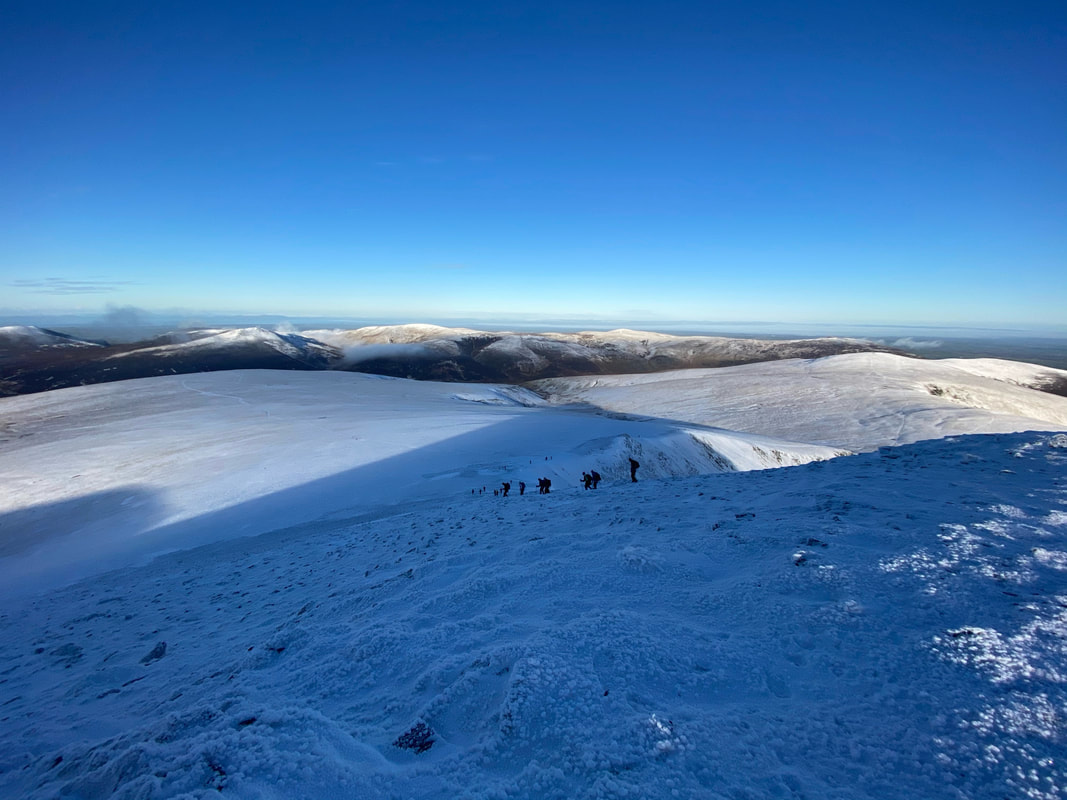
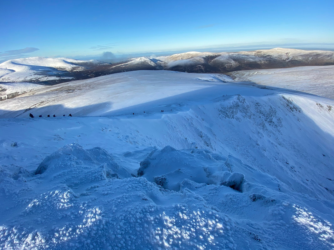
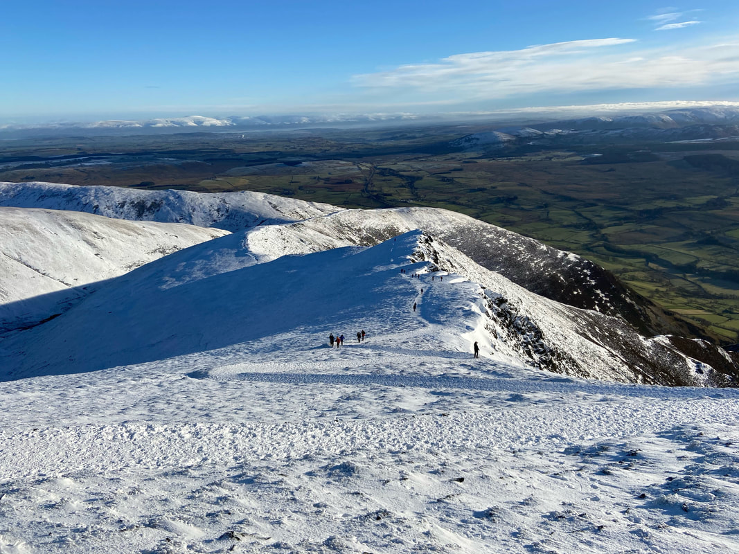
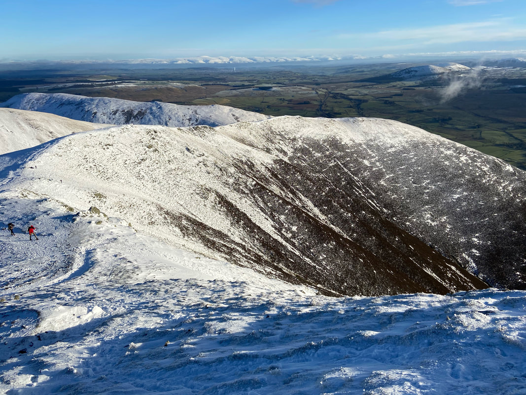
People making their way down Foule Crag with the path over to Mungrisdale Common just about visible to the left
From Atkinson Pike I made my way over to the edge of Foule Crag for a better look down the descent.
The path the walkers are on leads to the col between Blencathra & Bannerdale Crags - turning left in the col leads to Bowscale Fell, straight on to Bannerdale Crags and right leads back down the valley to Scales. The Skiddaw range is to the left with Bakestall, Great Calva, Knott & High Pike in full view.
The path the walkers are on leads to the col between Blencathra & Bannerdale Crags - turning left in the col leads to Bowscale Fell, straight on to Bannerdale Crags and right leads back down the valley to Scales. The Skiddaw range is to the left with Bakestall, Great Calva, Knott & High Pike in full view.
A little further around and the col is now visible with Bowscale Fell left, Bannerdale Crags centre & Souther Fell to the right
Before making my way back towards Blencathra I wandered over to have a look down Sharp Edge. It was extremely busy and like an ant hill with many people making their way across. The conditions were ideal today providing you had the right kit.
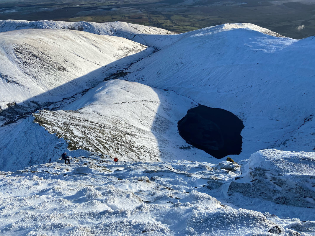
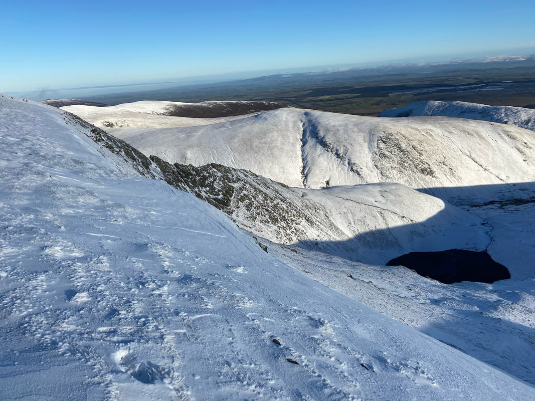
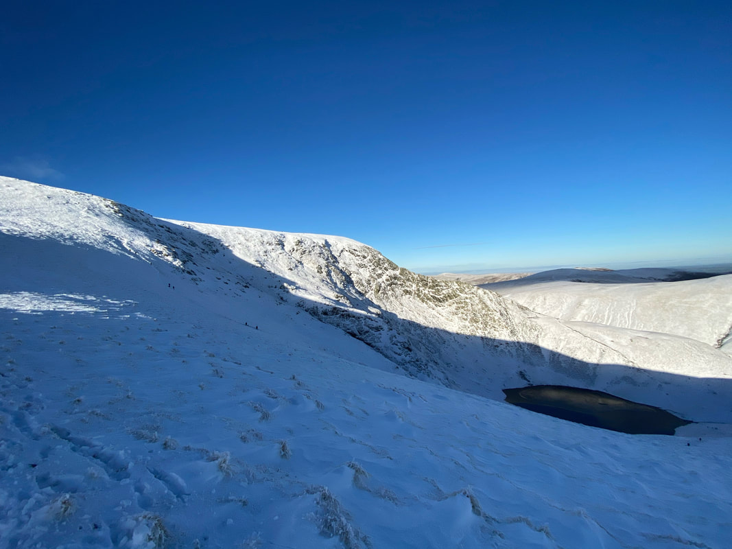
Scales Fell & Doddick Fell from near the top of Sharp Edge. Is it me or is that a face in Scales Tarn??
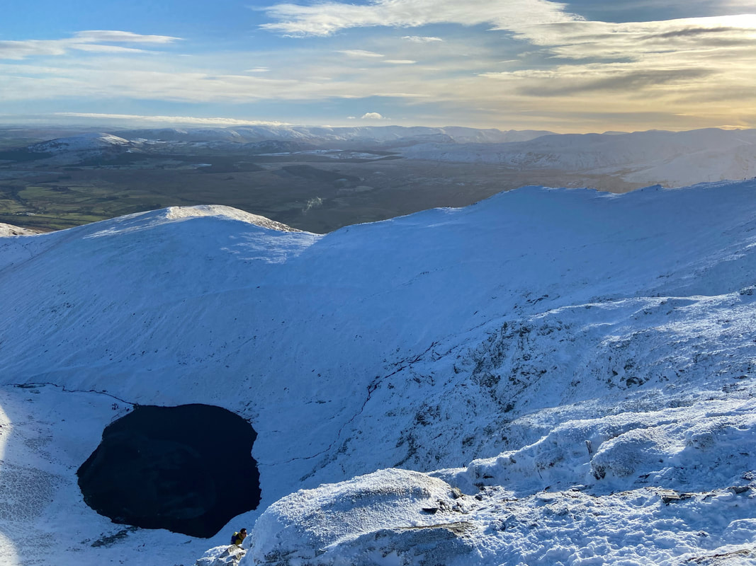
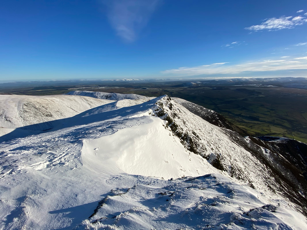
Further along the ridge looking back to Sharp Edge
Near the top of Blencathra it was now time to decide which way I was going to descend off the mountain.
From here I could drop down over the top of Doddick Fell to Scales Fell and descend either via Mousthwaite Comb or directly down to Scales. I knew that this descent would be extremely busy therefore I decided to descend via Doddick Fell which is the first steep ridge below.
From here I could drop down over the top of Doddick Fell to Scales Fell and descend either via Mousthwaite Comb or directly down to Scales. I knew that this descent would be extremely busy therefore I decided to descend via Doddick Fell which is the first steep ridge below.
Halls Fell ridge
Looking to the summit of Doddick Fell - my route of descent is to the right
I moved off the main path in order to have a bit of lunch and took the opportunity to get the ice axe ready as I knew the descent would be pretty steep.
Sharp Edge & Scales Tarn from near the summit of Doddick Fell
Scales Fell stretching away from the top of my descent via Doddick Fell
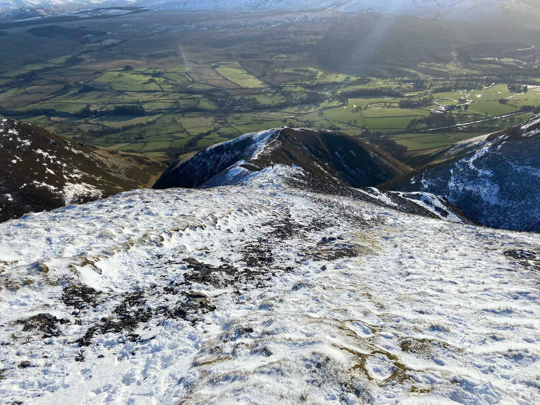
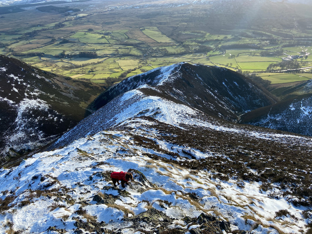
My descent via Doddick Fell.
It was great to be finally away from the throng of people - the guy ahead of me was the only person I saw until I was back at the car.
It was great to be finally away from the throng of people - the guy ahead of me was the only person I saw until I was back at the car.
Blencathra from my descent
This was an absolutely cracking way down and both Fudge and I really enjoyed it. I was really glad I had my spikes and ice axe.
Nearing the valley floor and all of a sudden all was green again
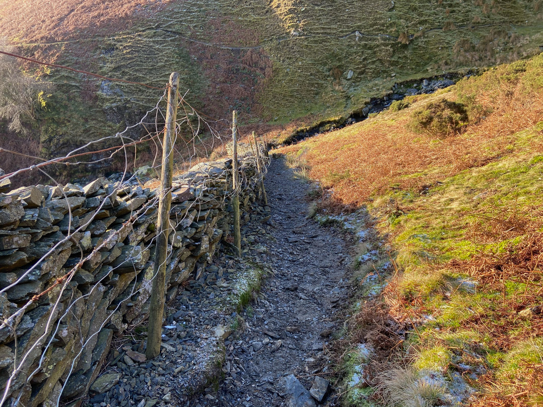
The route reaches a wall which is on the main path between Scales & Middle Row Farm. The path drops steeply down to meet Doddick Gill therefore we took our time as we descended over the loose stone.
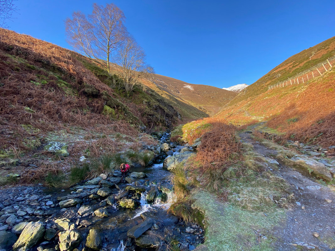
Doddick Gill and bath time for Fudge
The start of the path at Gate Gill up on to Halls Fell ridge
