Baystones & Wansfell Pike - Wednesday 22 March 2023
Route
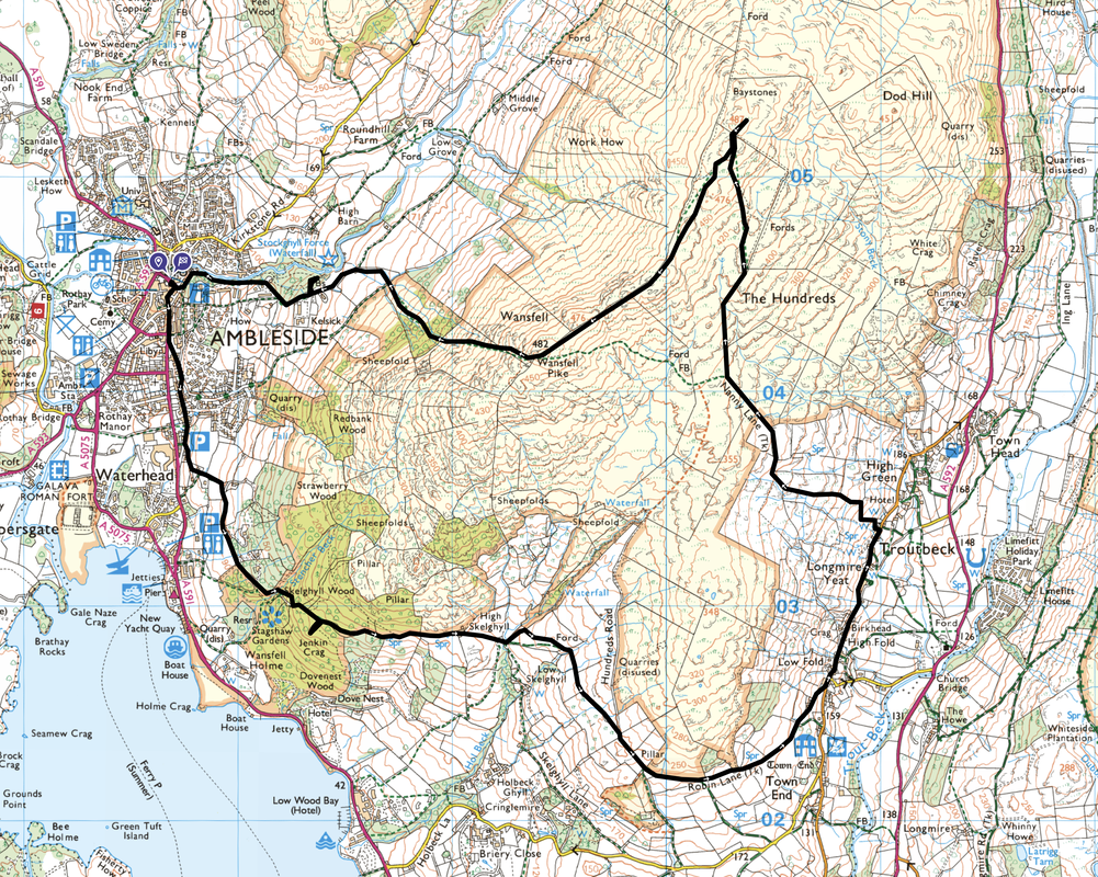
Ambleside - Skelghyll Wood - Jenkin Crag - High Skelghyll - Robin Lane - Troutbeck - Nanny Lane - The Hundreds - Baystones - Wansfell - Ambleside
Parking
Plenty of parking in Ambleside both free and Pay & Display. For todays walk I parked in Keswick and took advantage of the £2 fares and caught the bus to/from Ambleside.
Mileage
8.2 miles
Terrain
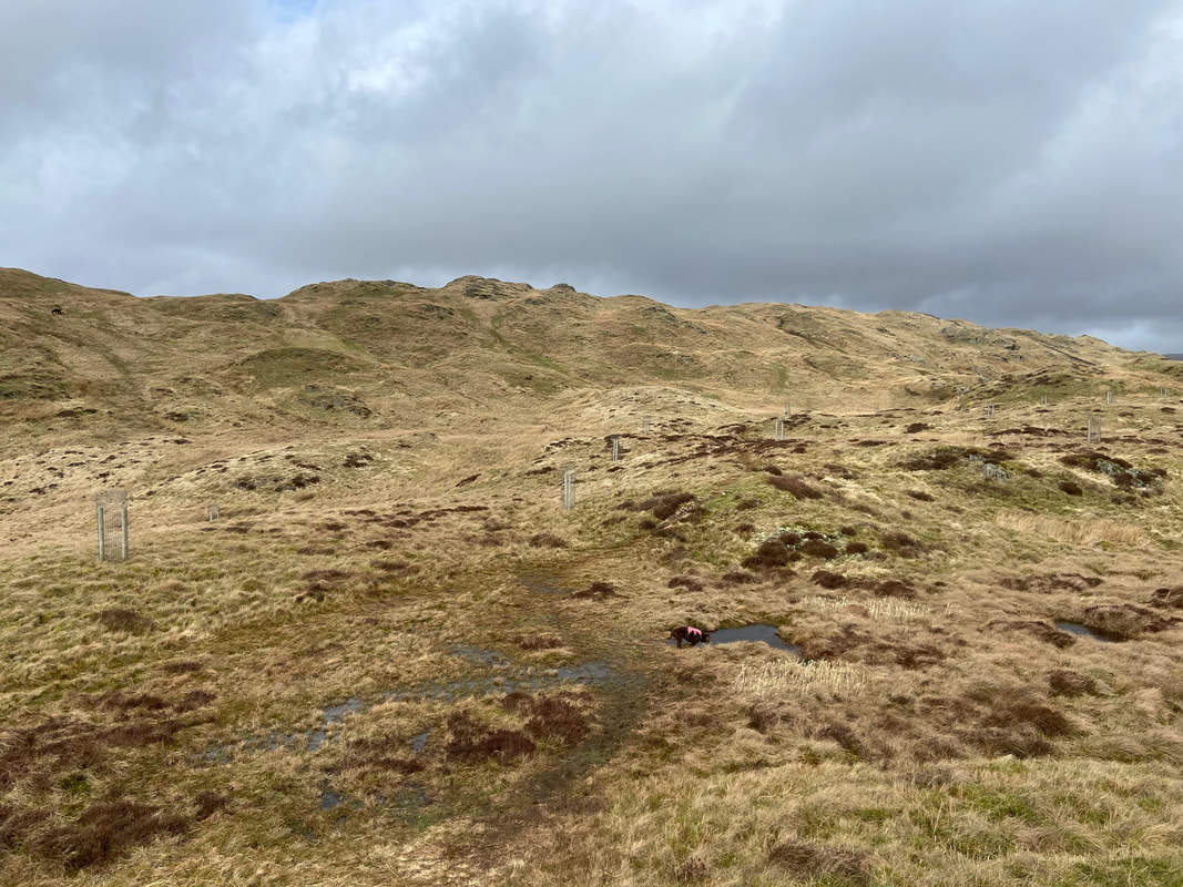
Good paths and tracks throughout with some minor road walking. The terrain between Baystones & Wansfell Pike can get boggy after a period of rain.
Weather
Overcast all day
Time Taken
4hrs 15mins
Total Ascent
2427ft (740m)
Wainwrights
1
Map
OL7 - The English Lakes - South Eastern Area
Walkers
Dave & Fudge
|
GPX File
|
| ||
If the above GPX file fails to download or presents itself as an XML file once downloaded then please feel free to contact me and I will send you the GPX file via e-mail.
Route Map
Just Fudge and I out today as the little chap gets a bit of shut eye on the bus to Ambleside. We were off to climb Wansfell today, a fell above Ambleside. We would be visiting both summits of the fell - Wansfell Pike and Baystones.
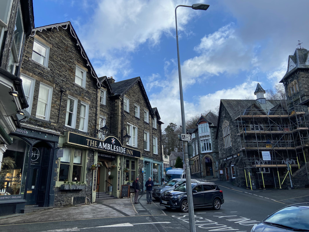
The former Queens Hotel which has had a make over and is now The Ambleside Inn
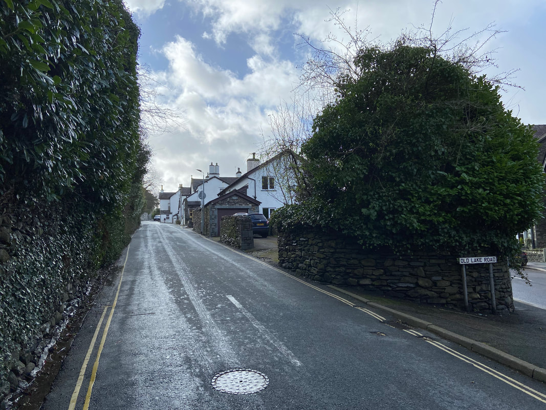
From the town centre I headed south along the A591. After passing the turning for Kelsick Road on the right, I headed left up Old Lake Road.
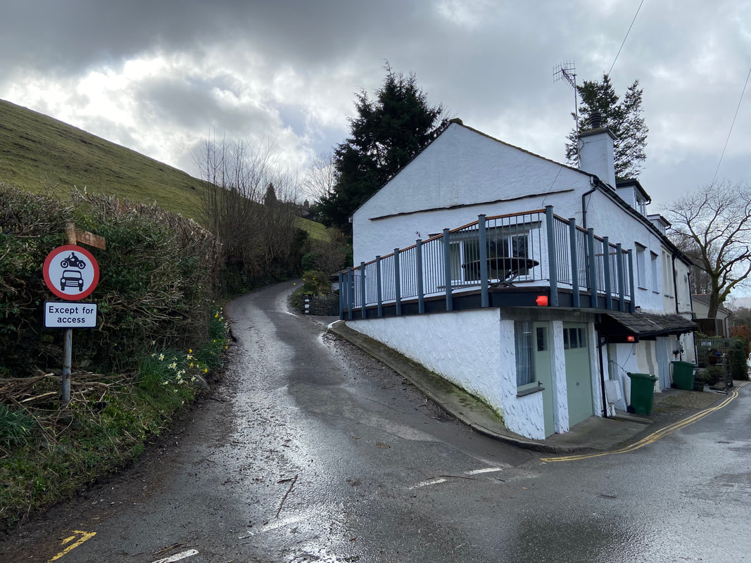
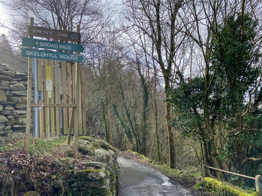
After approximately 600 yards up Old Lake Road a lane leaves on the left signposted Jenkin Crag, Skelghyll & Troutbeck
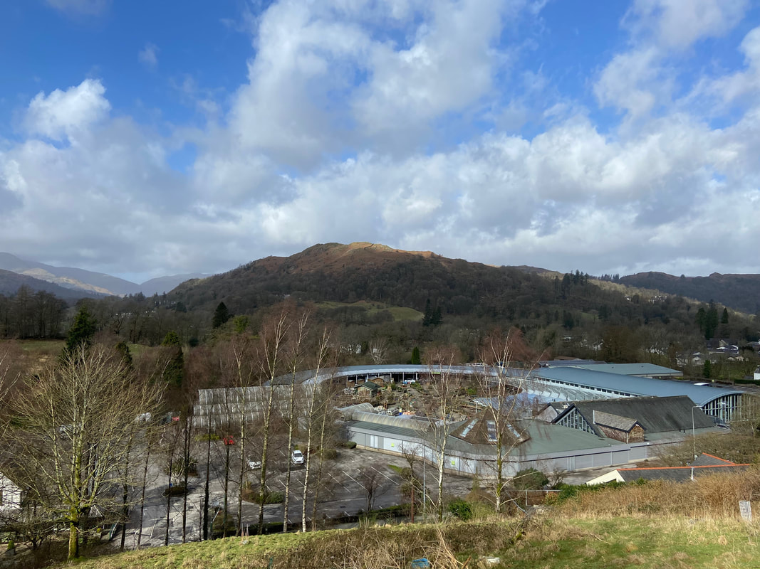
Loughrigg Fell over Hayes Garden Centre
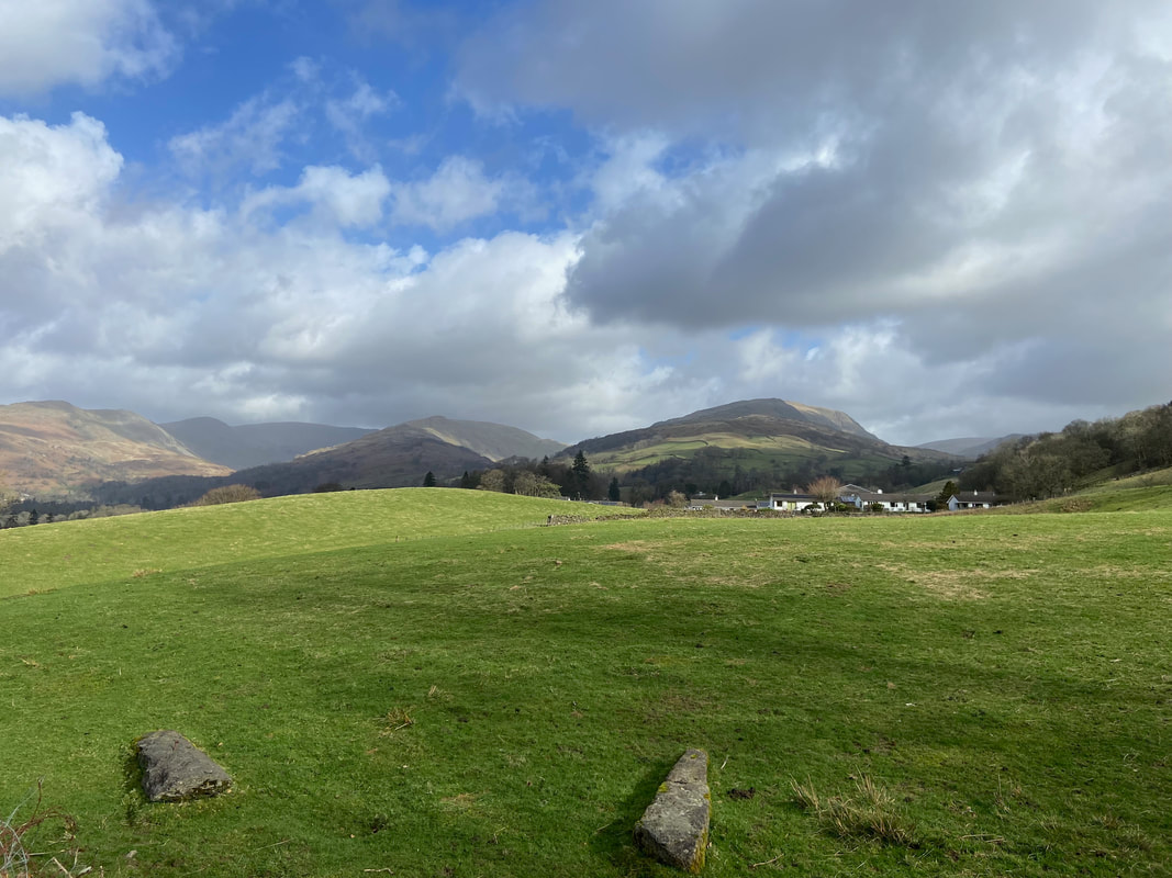
As I gained height the views opened out over to the Far Eastern Fells
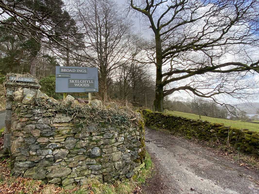
There are paths going in several directions but good signage is aplenty
The lane continues on towards Skelghyll Woods
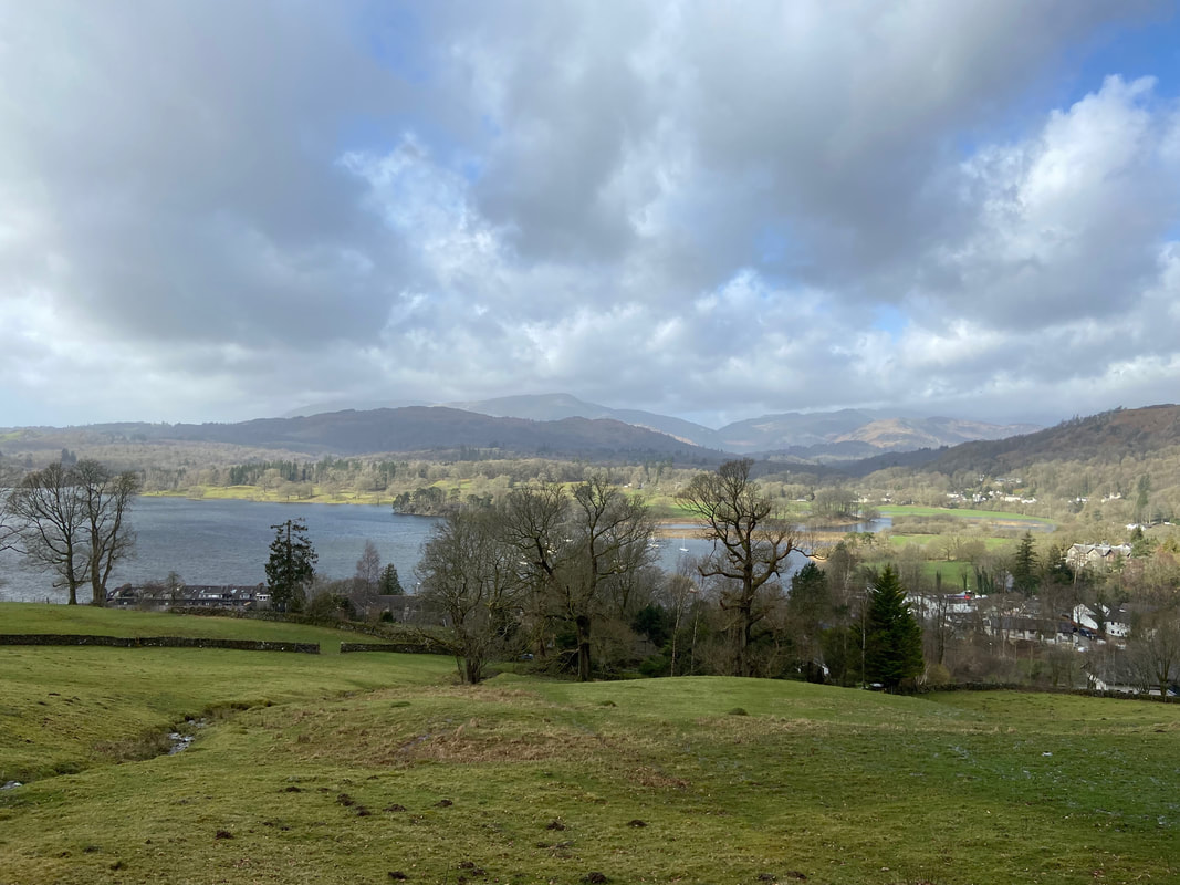
Looking over the southern end of Windermere
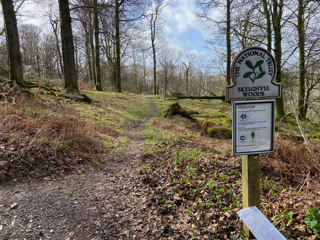
Entering Skelghyll Woods and onward to Jenkin Crag
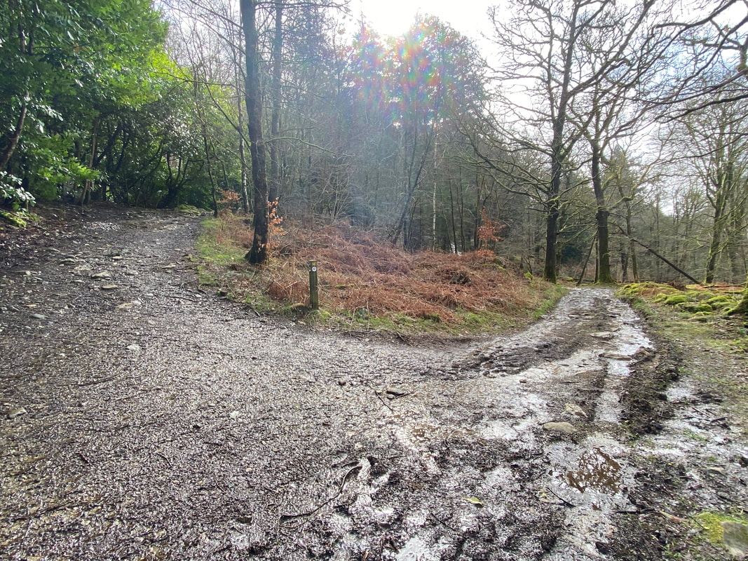
At a junction the left hand path is taken and heads steeply up towards Jenkin Crag
As the gradient evens itself out a wall gap is reached on the right giving access to Jenkin Crag
Jenkin Crag - the outcrop is located at Grid Reference NY 38358 02923
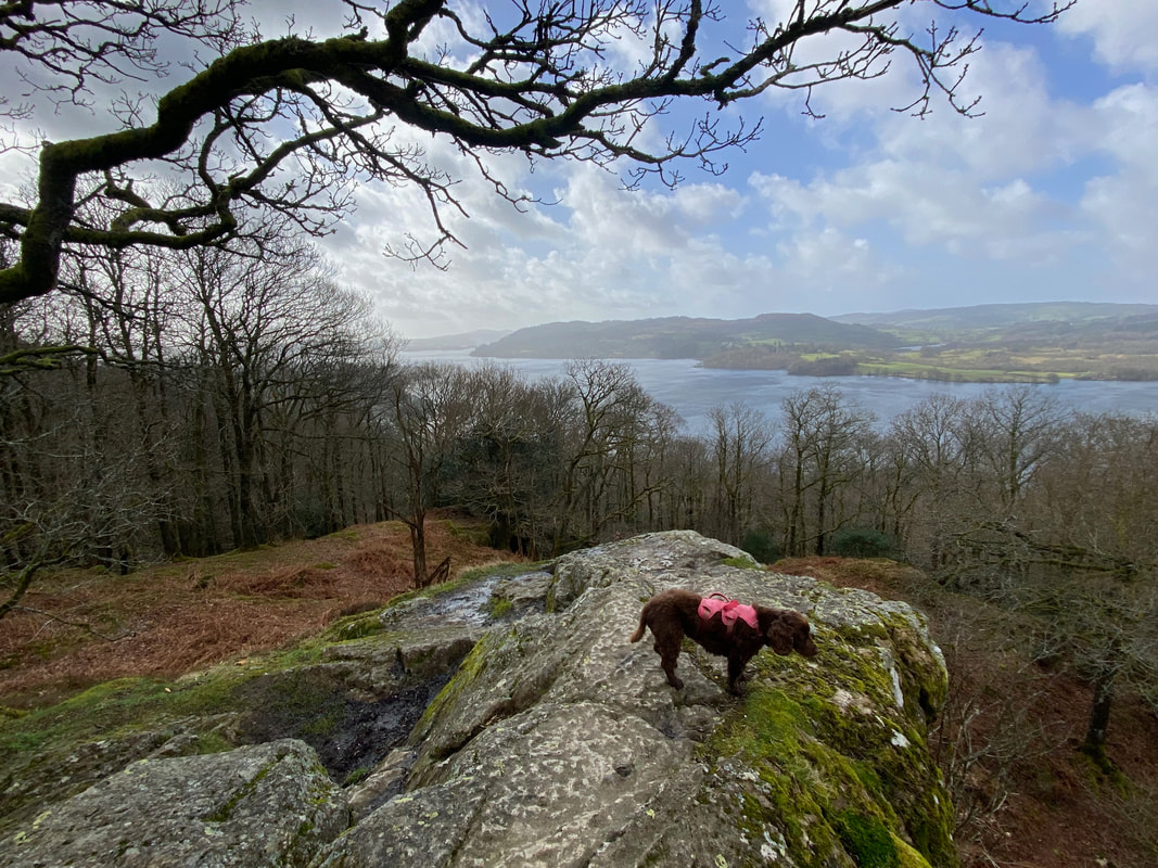
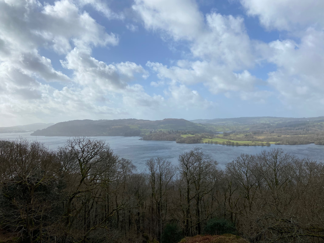
The view down Windermere from Jenkin Crag to Claife Heights & Latterbarrow
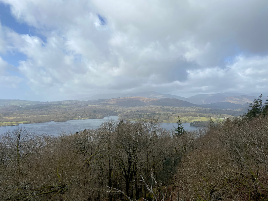
The view south towards Waterhead & Ambleside from Jenkin Crag
Leaving Jenkin Crag the route heads over level terrain to reach the farm buildings at High Skelghyll
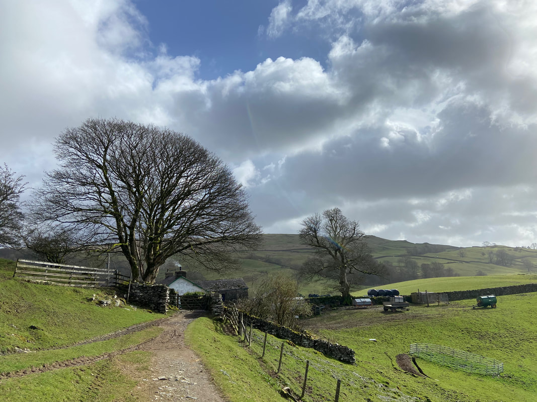
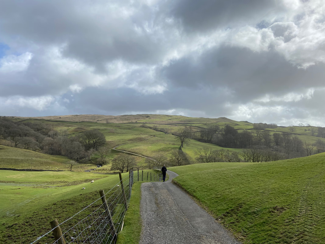
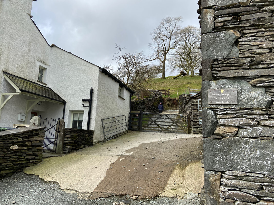
The route continues along the access track from High Skelghyll Farm
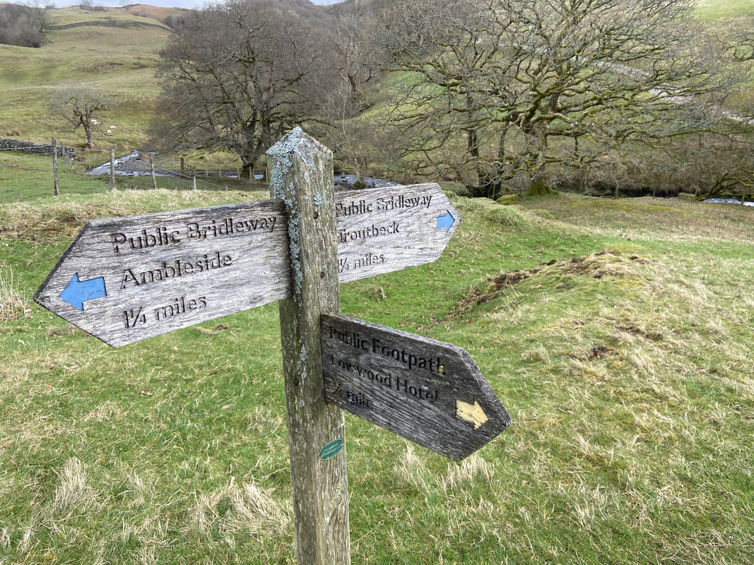
Above Hol Beck a 3 way signpost is reached - I was heading in the direction of Troutbeck where hopefully the cafe will be open
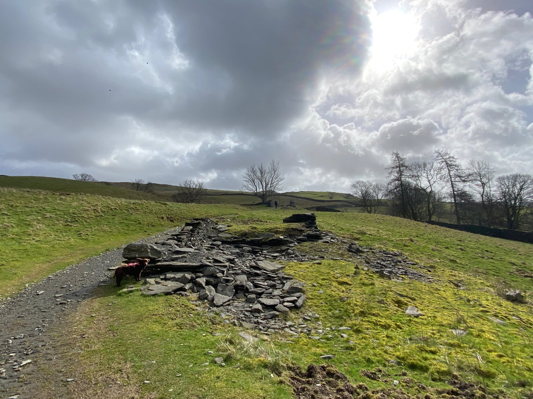
On the right of the path are the remains of a building as I head for Robin Lane
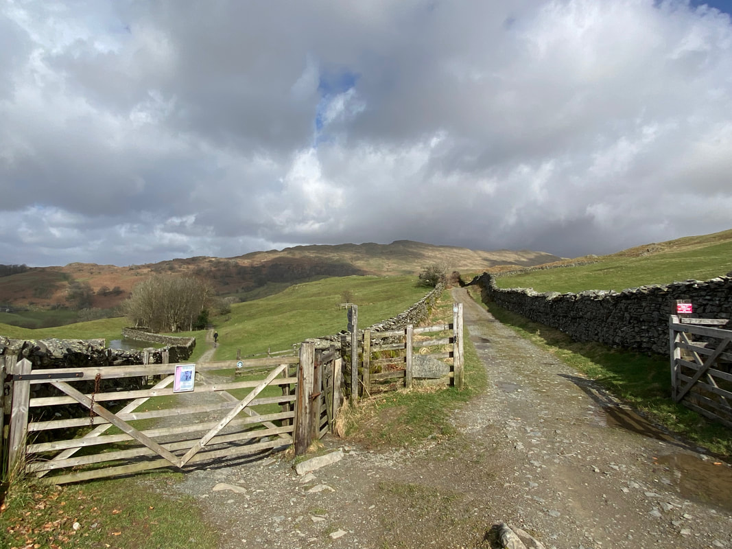
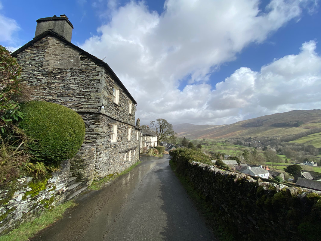
The junction of Robin Lane & Hundreds Road at Grid Reference NY 39766 02406 with Wansfell beyond. Wansfell Pike is in the centre of shot with Baystones over to the right. I had come up from High Skelghyll which is to the left with Hundreds Road to the right. Both summits of Wansfell can be reached from here via the Hundreds Road.
From the Hundreds Road junction I headed down the rough track of Robin Lane to eventually reach Troutebeck - now where is that cafe?
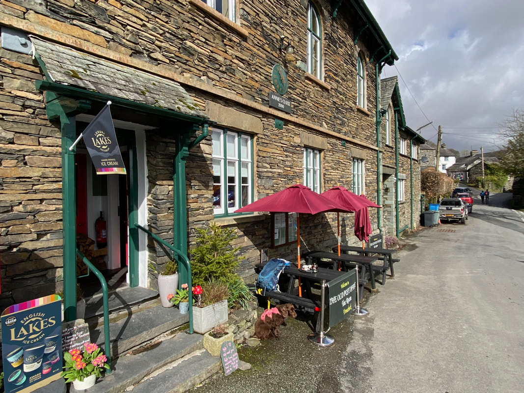
Found it - The Old Post Office Tea Room sits at the bottom of Robin Lane in Troutbeck and is an excellent pit stop. I enjoyed a Pot of Tea and some cake which Fudge is keeping guard over whilst I snap away.
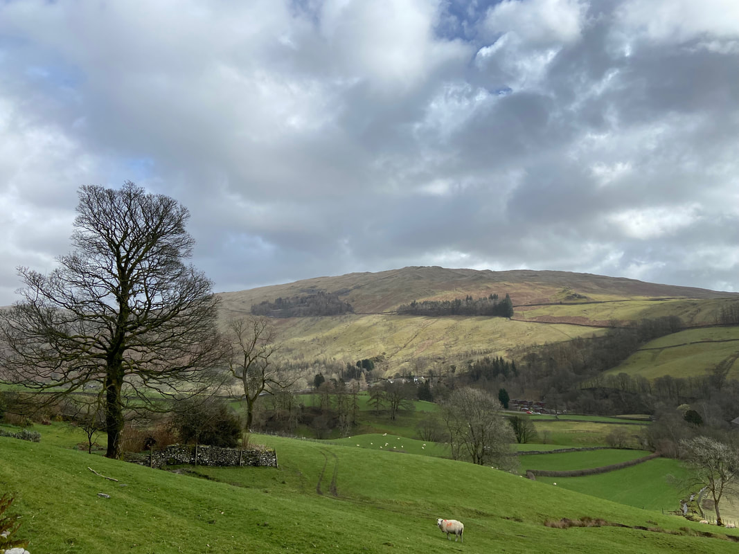
Looking over to Sour Howes on Applethwaite Common
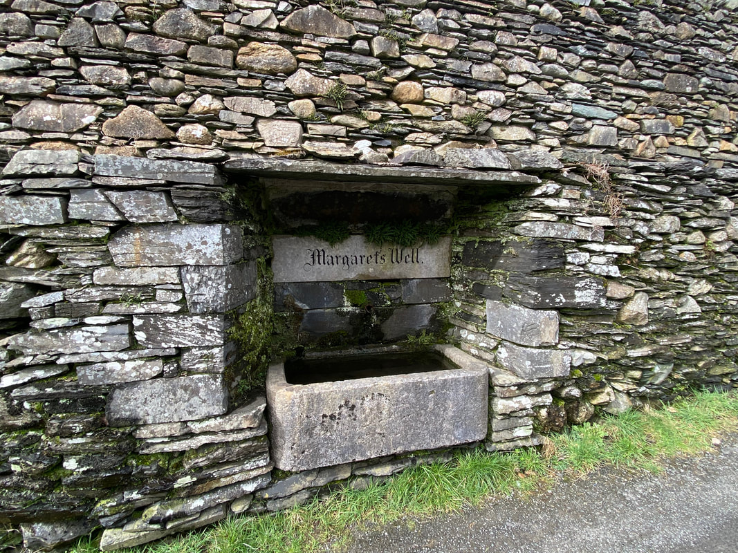
Margaret's Well in Troutbeck. This is one of three roadside wells in the village and were built in the 18th Century. When built, Troutbeck was grouped into several hamlets and each built their own well, the others being St John's Well & St James' Well. In addition to supplying drinking water for the village, the wells would have provided a welcome drink for horses about to pull carriages up the Kirkstone Pass.
At the northern end of Troutbeck village a gate on the left set back from the road leads on to Nanny Lane
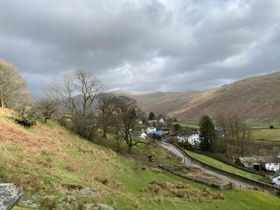
The northern end of Troutbeck Village and The Mortal Man pub from Nanny Lane
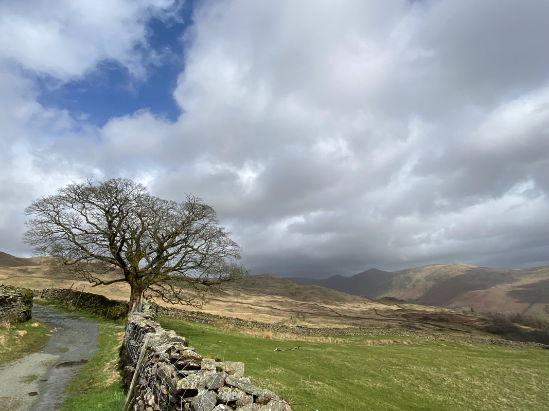
Heading along Nanny Lane looking over to a murky Froswick & Ill Bell
At Grid Reference NY 40279 04071 a path leaves Nanny Lane on the left and heads up the fell side to meet the Hundreds Road. The path leads to Wansfell Pike whereby Baystones can then be reached by walking along the ridge. Today I preferred to continue on up Nanny Lane and climb Baystones first and then walk back along the ridge to Wansfell Pike.
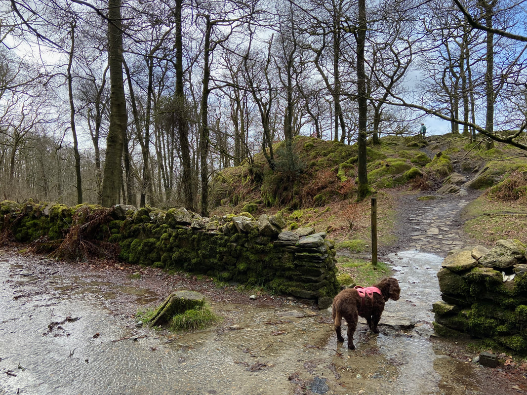
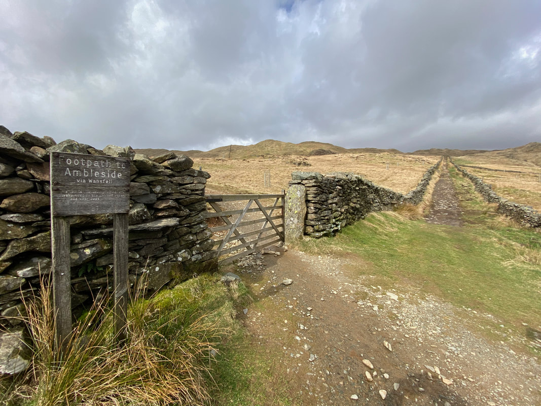
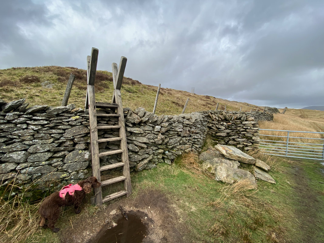
At the end of Nanny Lane a gate is reached with a large ladder stile to the left. Fudge waits patiently for me to give him a bunk up - once over the stile a rough path is followed to Baystones.
The path to Baystones from the ladder stile. It is just about clear on the ground and makes its way eventually up to the ridge ahead.
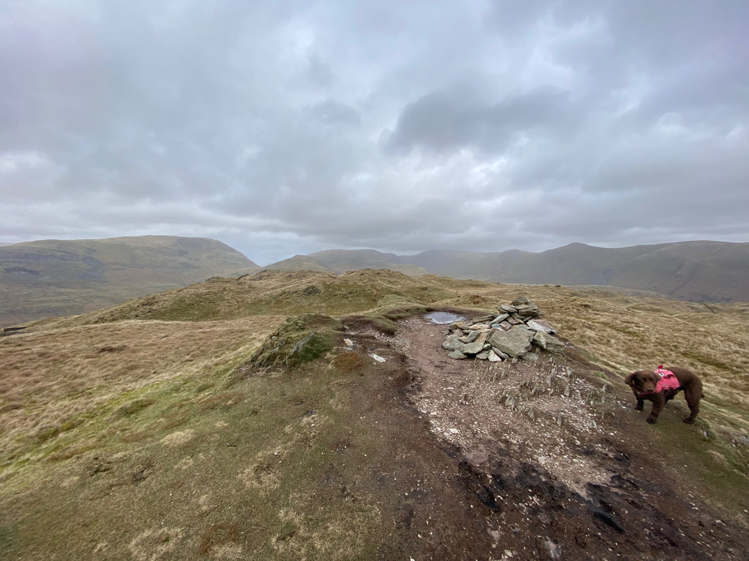
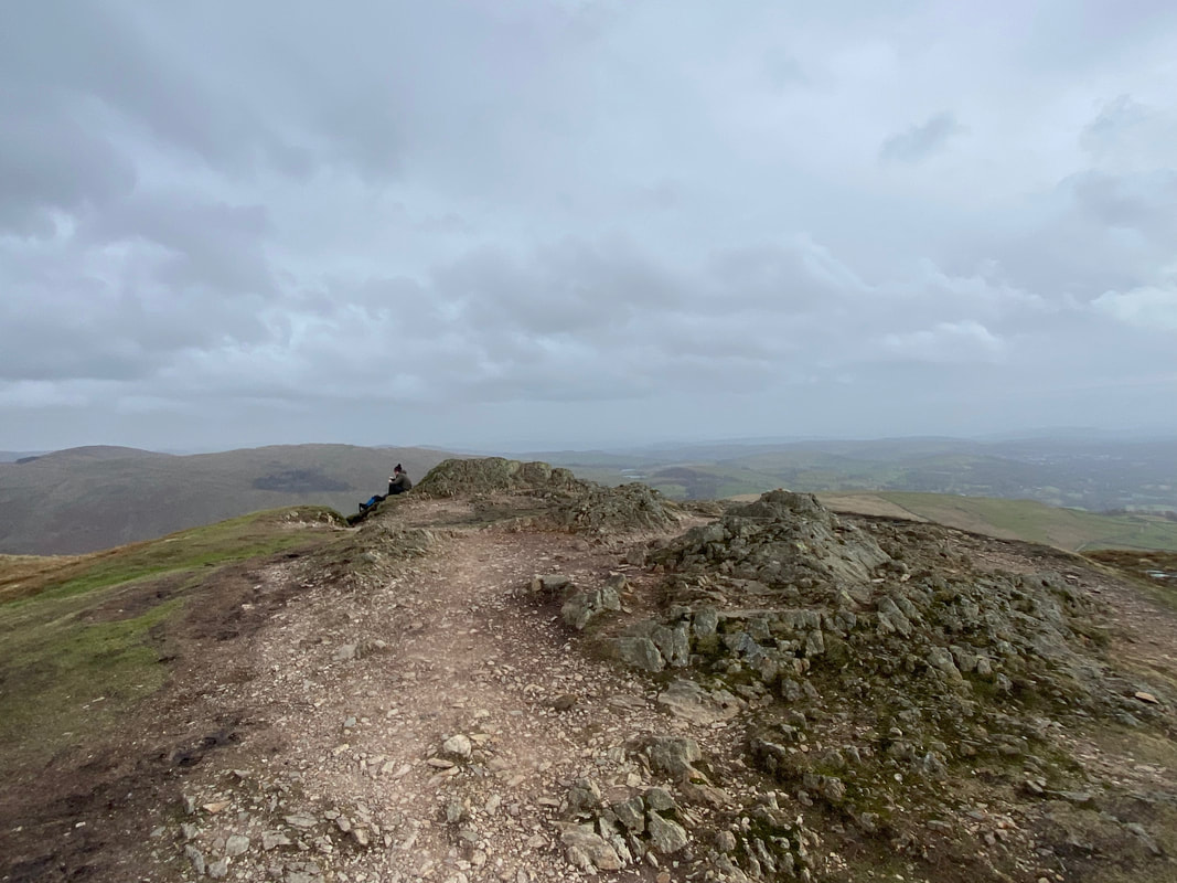
Baystones, the summit of Wansfell
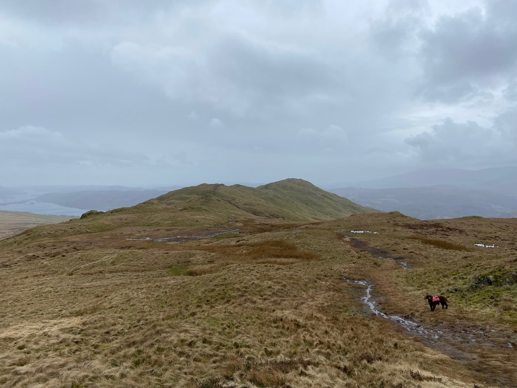
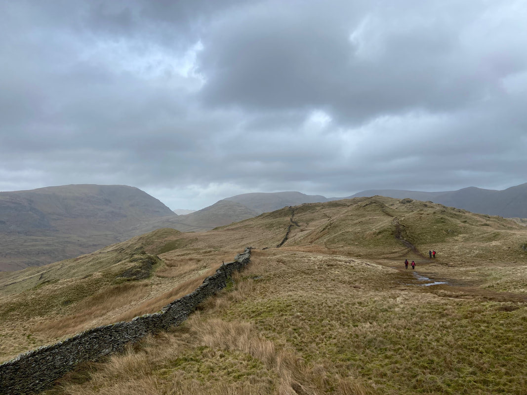
From Baystones it was time to head along the ridge for just under a mile to reach Wansfell Pike from where we would return to Ambleside. For the majority of the transit, the path (which can be boggy after rain) handrails a wall which can be seen up ahead.
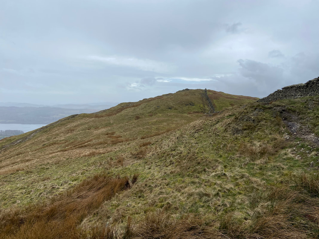
Looking back to Baystones from halfway along the ridge
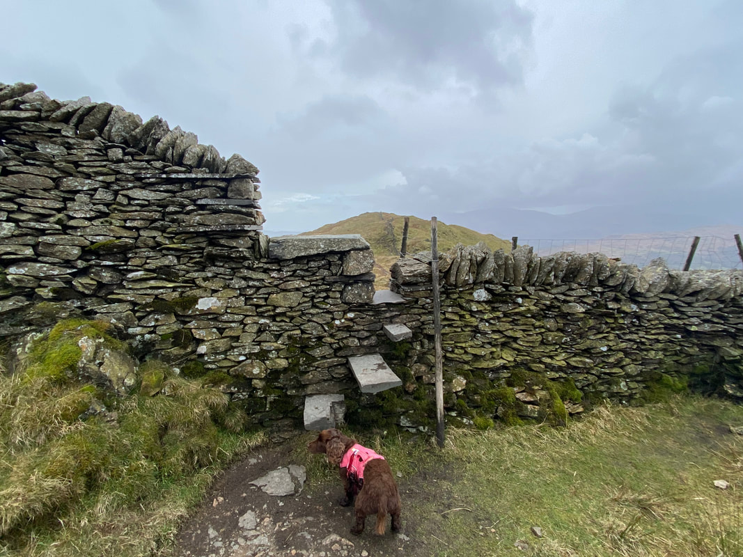
About two thirds along the ridge the path crosses a wall via a stone stile
Wansfell Pike up ahead
The summit of Wansfell Pike
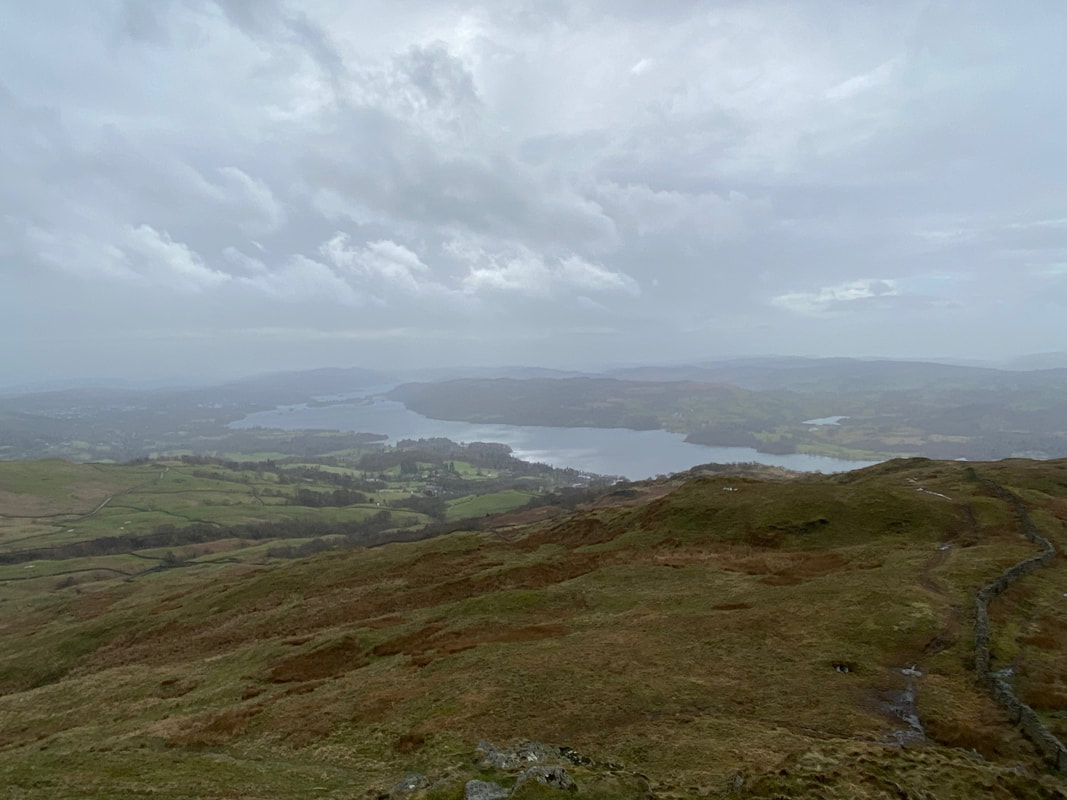
A murky Windermere from Wansfell Pike
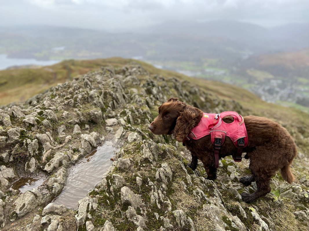
Fudge adorning the summit of Wansfell Pike - as usual he was not keen on facing the camera
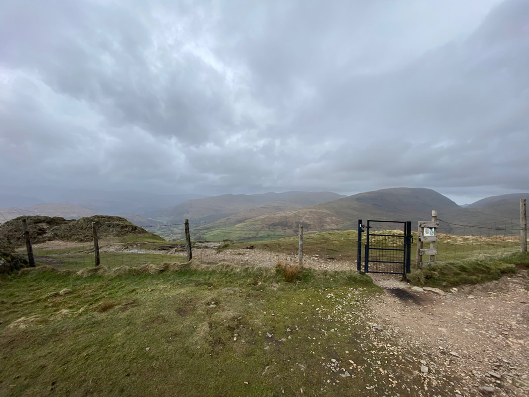
From the summit of Wansfell Pike a gate leads to the path down to Ambleside
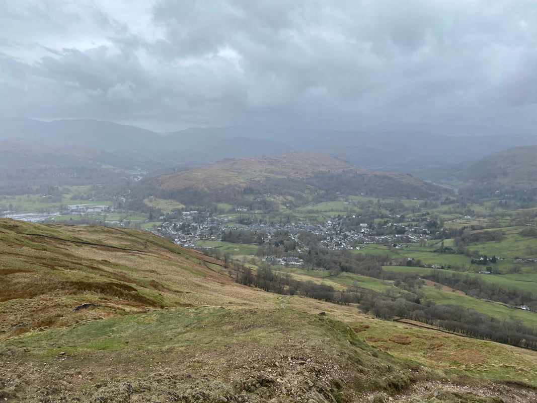
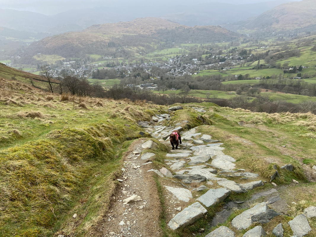
Heading down to Ambleside
After a while the going improves as the route joins a pitched stone path
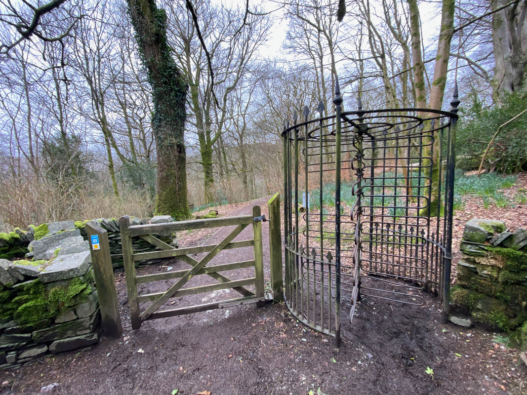
The old and the new at Stockghyll Force - a 21st Century gate on the left and a Victorian Turnstile on the right
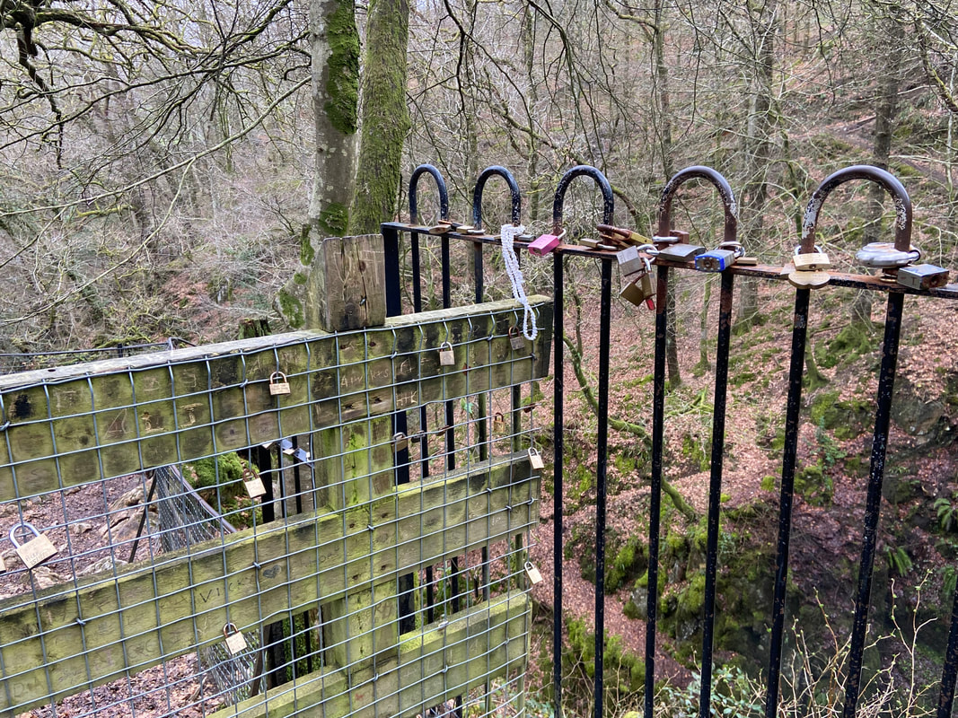
Padlocks adorning the railings at Stockghyll Force
These padlocks are known as either a love lock or a love padlock. Couples lock them to a bridge, fence, gate, monument or similar public fixture to symbolize their love. Typically the sweethearts' names or initials, and perhaps the date are inscribed on the padlock and its key is thrown away (often into a nearby river) to symbolize unbreakable love. Since the 2000s, the locks have proliferated at an increasing number of locations worldwide. They are treated by some municipal authorities as litter or vandalism, and there is some cost to their removal. However, there are other authorities who embrace them, and who use them as fundraising projects or tourist attractions. I know which side of the fence I'm on!
These padlocks are known as either a love lock or a love padlock. Couples lock them to a bridge, fence, gate, monument or similar public fixture to symbolize their love. Typically the sweethearts' names or initials, and perhaps the date are inscribed on the padlock and its key is thrown away (often into a nearby river) to symbolize unbreakable love. Since the 2000s, the locks have proliferated at an increasing number of locations worldwide. They are treated by some municipal authorities as litter or vandalism, and there is some cost to their removal. However, there are other authorities who embrace them, and who use them as fundraising projects or tourist attractions. I know which side of the fence I'm on!
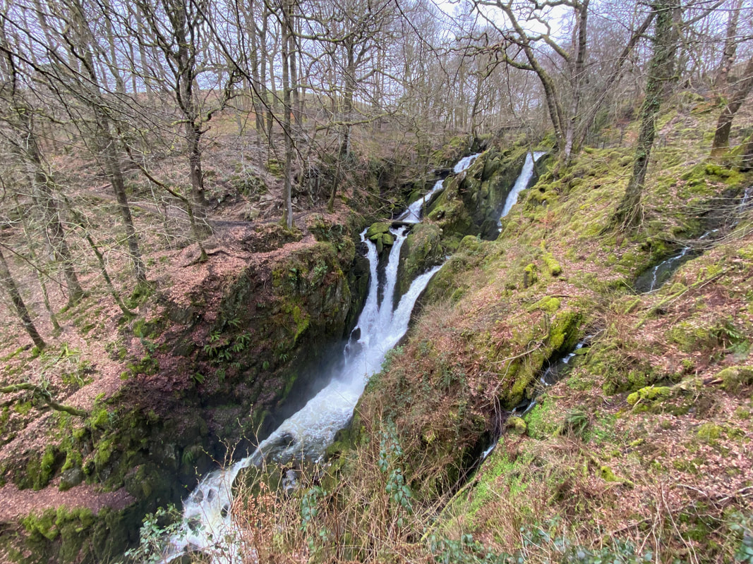
Stockghyll Force - this 70ft waterfall has been a popular Lake District destination since Victorian times
Stockghyll Force (Click Play to view)
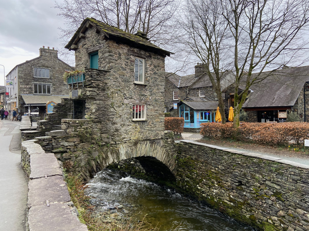
Bridge House over Stock Beck in Ambleside
Bridge House is one of the most photographed buildings in the Lake District and a popular subject for many artists including J M W Turner. The building is tiny, was originally an apple store for nearby Ambleside Hall and was built over Stock Beck to escape land tax. It is said that at some time a family with six children lived here in the two rooms. In 1926 it was purchased by a group of local people who passed it into the care of the National Trust, which 20 years later they turned into their first information and recruitment centre. You can now visit without charge to see the 2 sparsely furnished rooms.
Bridge House is one of the most photographed buildings in the Lake District and a popular subject for many artists including J M W Turner. The building is tiny, was originally an apple store for nearby Ambleside Hall and was built over Stock Beck to escape land tax. It is said that at some time a family with six children lived here in the two rooms. In 1926 it was purchased by a group of local people who passed it into the care of the National Trust, which 20 years later they turned into their first information and recruitment centre. You can now visit without charge to see the 2 sparsely furnished rooms.
On the bus back to Keswick as Fudge finishes the walk as he started out - zzzzzzzz
