Burnbank Fell, Blake Fell, Gavel Fell & Hen Comb - Tuesday 1 January 2019
Route
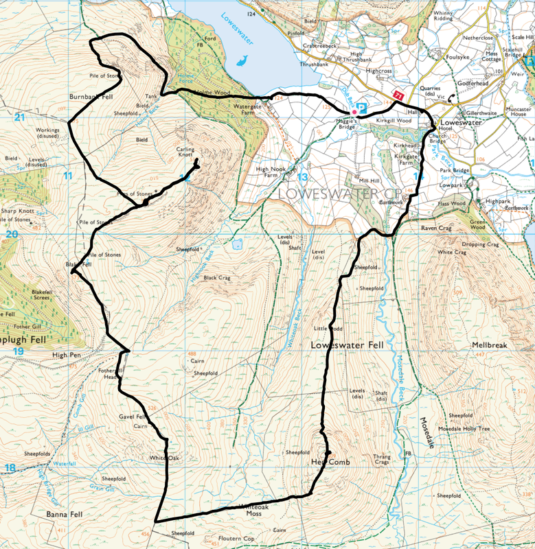
Maggie's Bridge - Watergate Farm - Holme Wood - Burnbank Fell - Carling Knott - Blake Fell - Fothergill Head - Gavel Fell - White Oak - Whiteoak Moss - Hen Comb - Little Dodd - Mosedale Beck - Loweswater - Maggie's Bridge
Parking
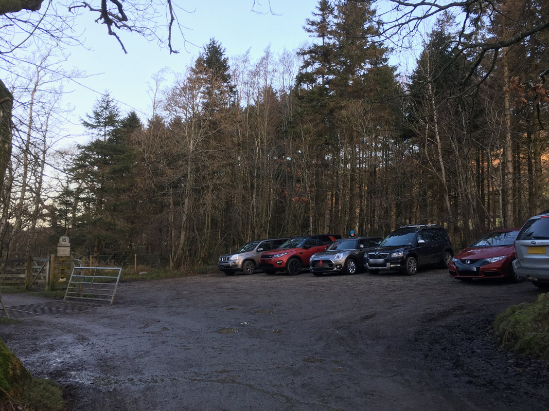
Maggie's Bridge National Trust Car Park (Free) where there is room for approximately 9 sensibly parked cars - Grid Ref NY 13447 21045. The nearest postcode is CA13 0RU.
Mileage
10.3 miles
Terrain
Good mountain paths for the majority of this walk although the passage over Whiteoak Moss can get boggy after rain and the path is intermittent - simply handrail the fence on your right. Crossing Mosedale Beck can be tricky after rain when the beck can be in spate and, like today is best left until the end of the walk when wet boots and socks don't really matter for the short walk back to the start at Maggie's Bridge.
Weather
Very cold but gloriously sunny with excellent visibility.
Time Taken
6hrs 15mins
Total Ascent
2742ft (836m)
Wainwrights
4
Map
OL4 The English Lakes (North Western Area)
Walkers
Dave, Angie & Fudge
|
GPX File
|
| ||
If the above GPX file fails to download or presents itself as an XML file once downloaded then please feel free to contact me and I will send you the GPX file via e-mail.
Route Map
The free National Trust Car Park at Maggie's Bridge. The walk exits the Car Park via the gate on the left.
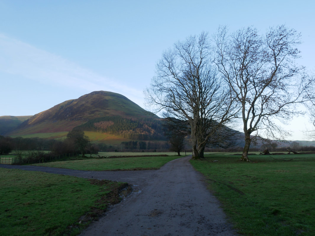
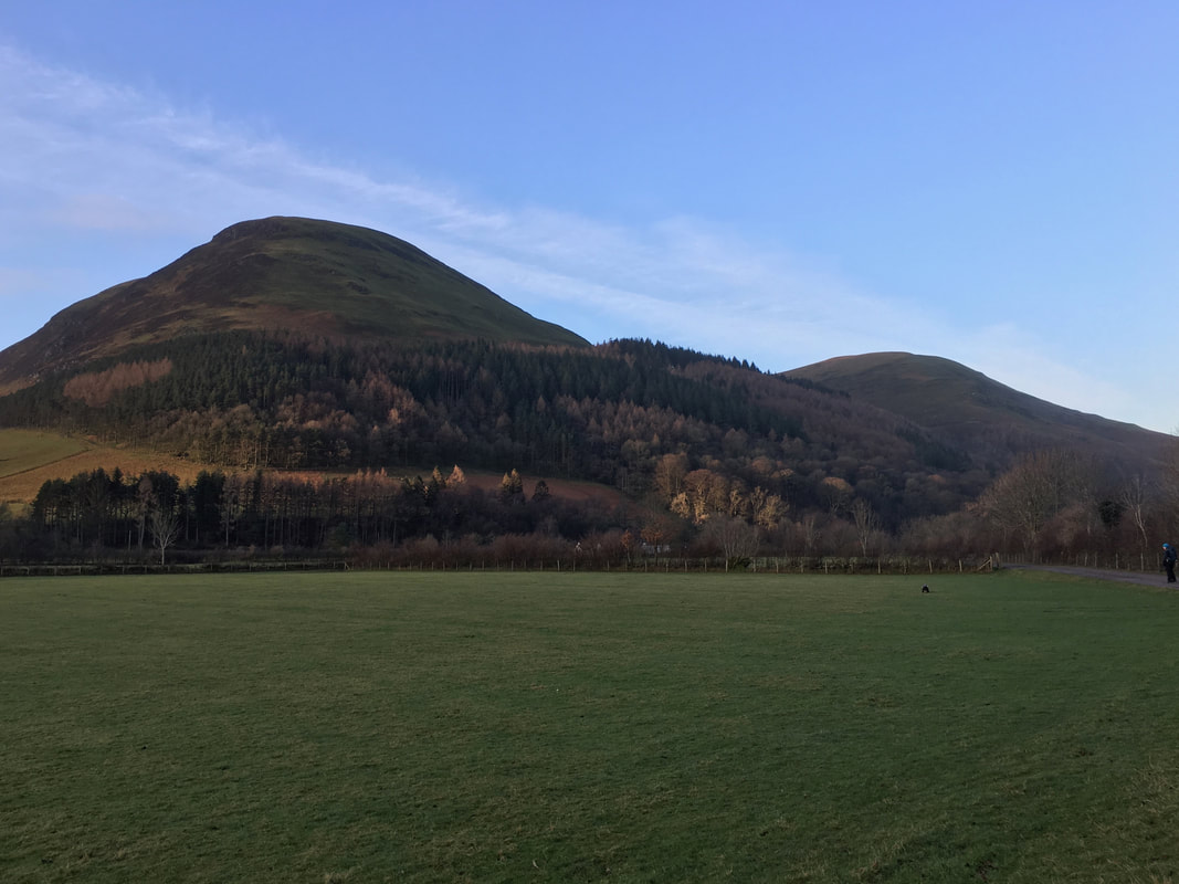
From the gate the route heads along the farm access track to the right which leads to Watergate Farm. The track to the left heads to High Nook Farm. Carling Knott is to the left.
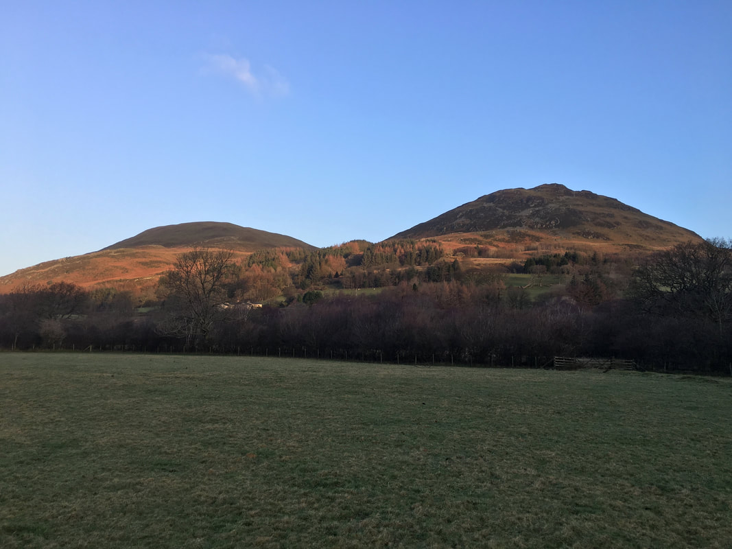
Darling Fell to the left with Low Fell to the right
A closer view of Carling Knott as we continue along the farm access track with Burnbank Fell now in view to the right.
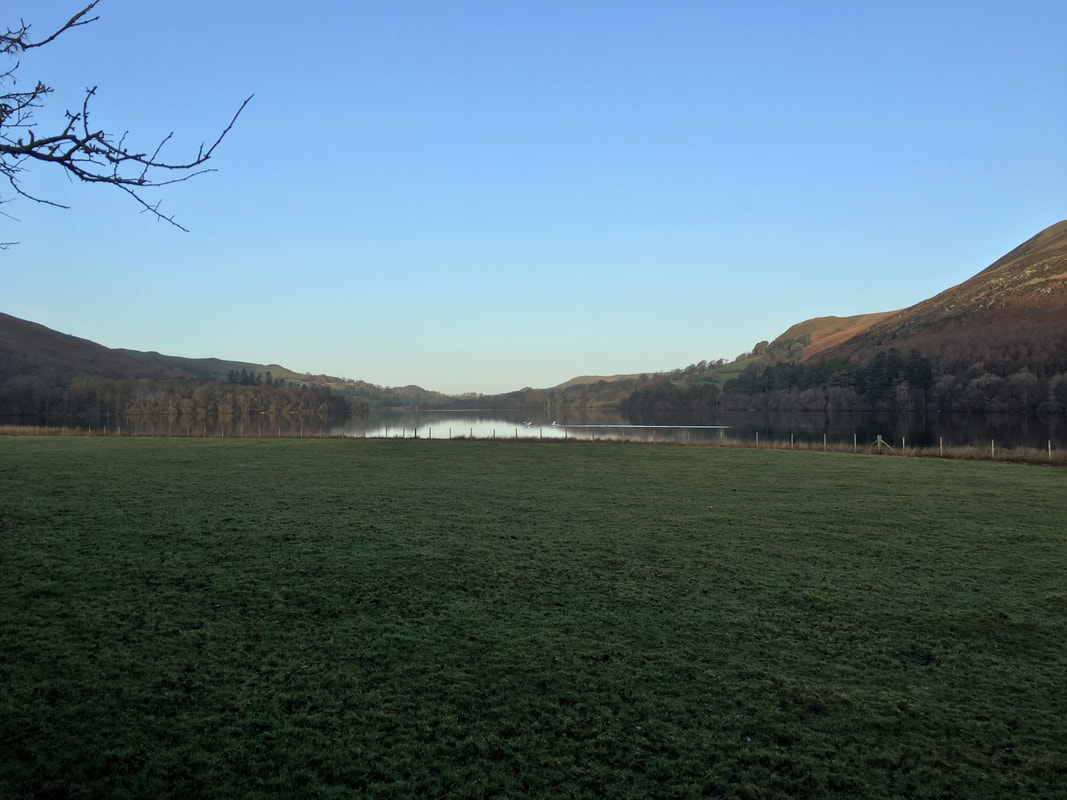
You can just about see the Swans gliding in and making a perfect landing on Loweswater
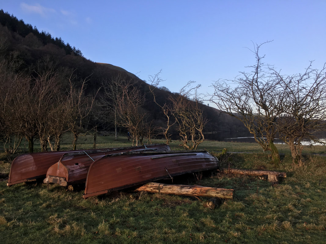
Canoes and boats aplenty at Watergate Farm
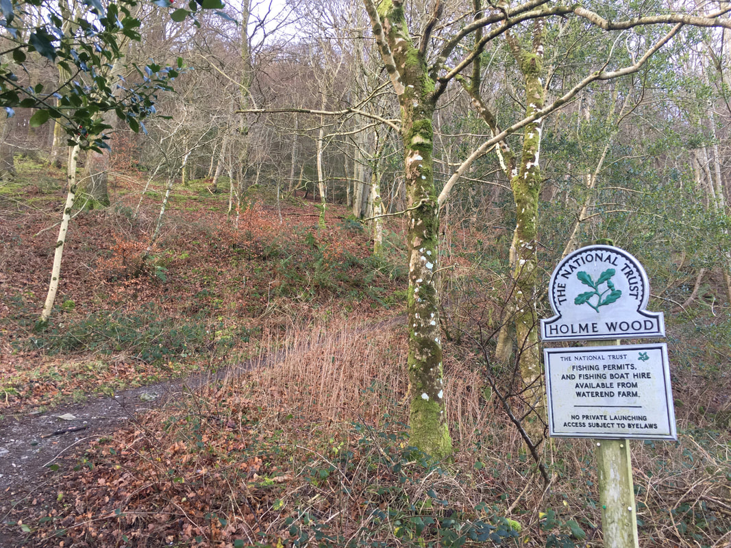
Just past the farm the route enters the National Trust owned Holme Wood. The path through the wood climbs steeply on a diagonal and crosses several forest tracks - simply keep heading straight on until emerging into daylight.
Once clear of Holme Wood the path flattens out to cross a footbridge over Holme Beck and then head to the right along a terrace path.
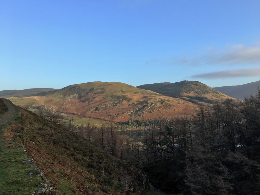
Darling Fell & Low Fell from the delightful terrace path
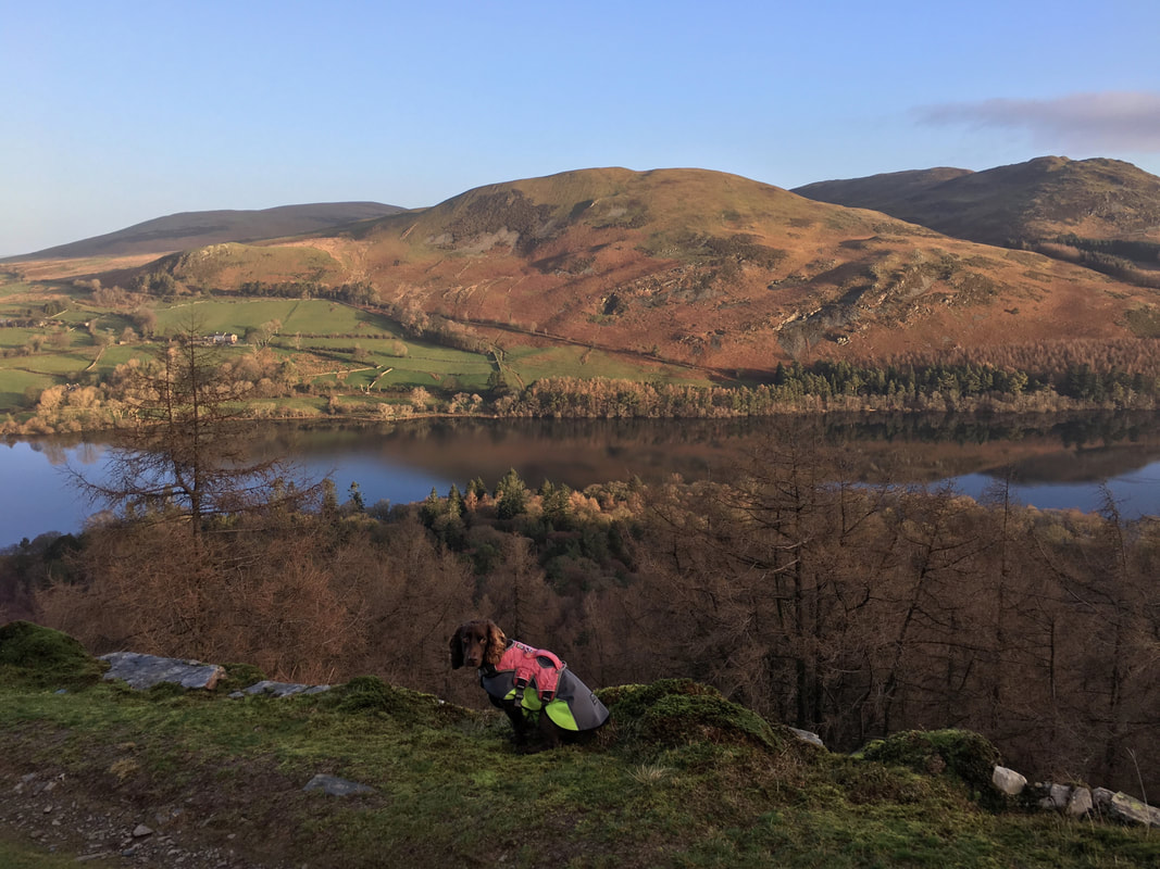
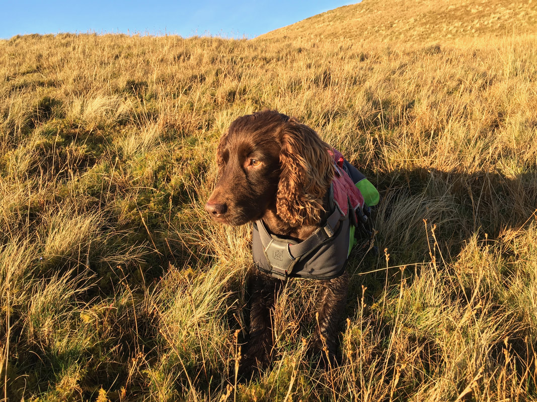
A little further along the terrace path Loweswater comes back into view with Fellbarrow distant to the left. Fudge looks a bit guilty there - I wonder what he has been up to?
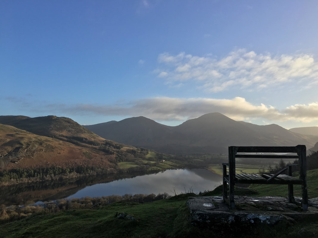
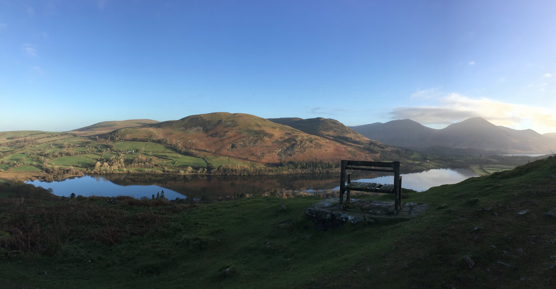
The well photographed seat on the terrace path above Loweswater looking to the North Western Fells with Grasmoor prominent right of centre. The seat was looking a bit worse for wear unfortunately.
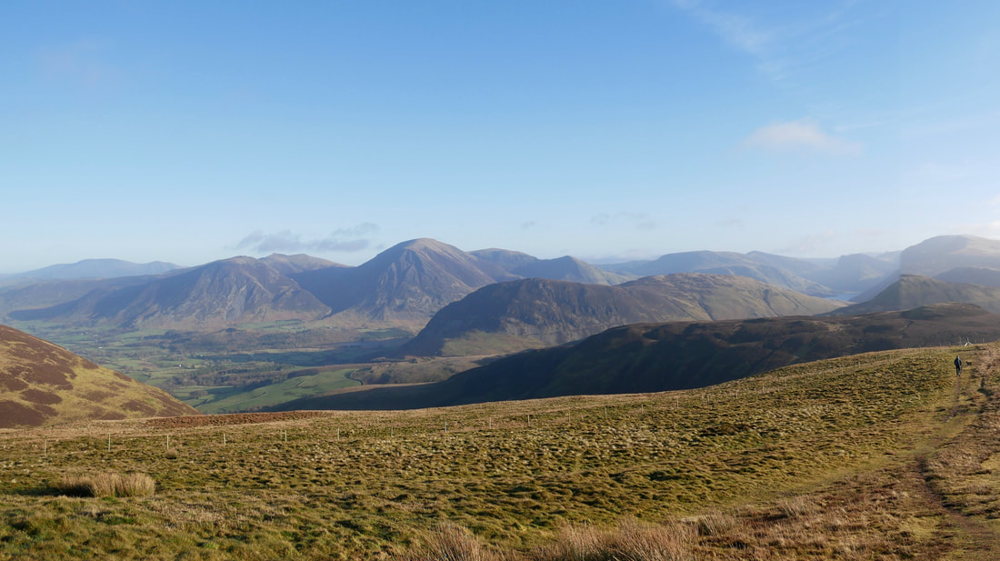
A panorama from the terrace path
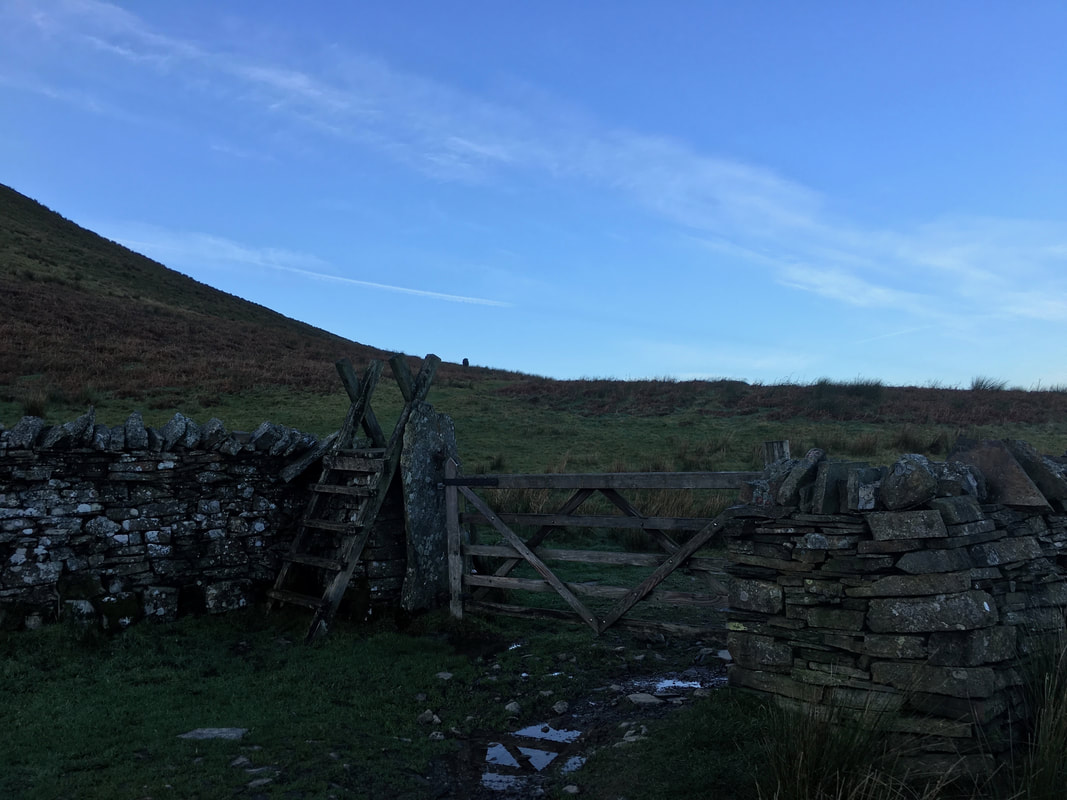
At the end of the terrace path a gate and ladder stile is reached - the path heads through the gate/over the stile and then switches back on itself after a hundred yards to begin ascending Burnbank Fell.
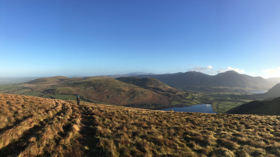
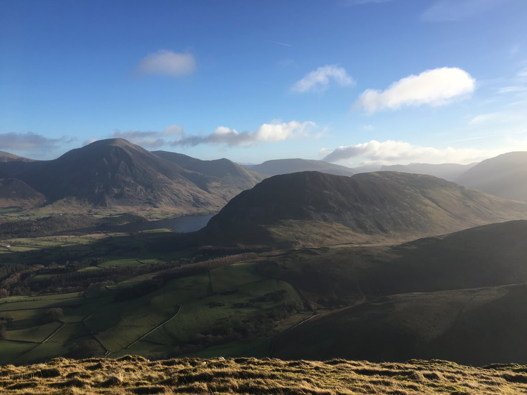
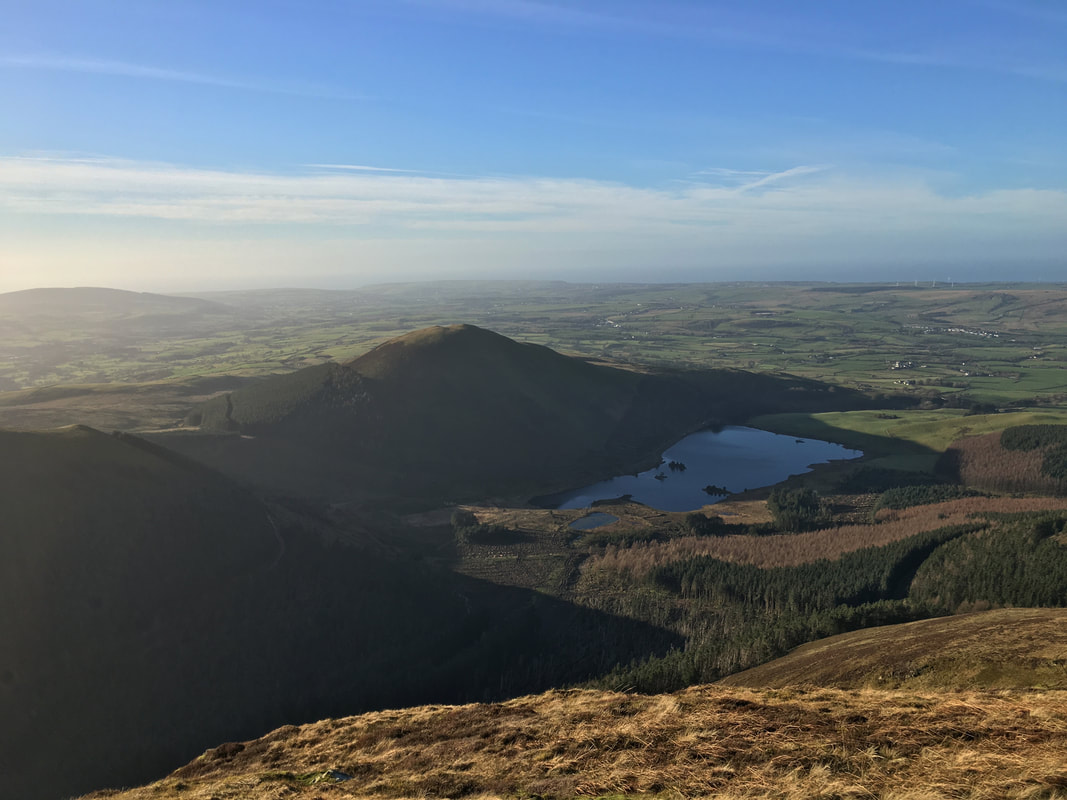
The ascent of Burbank Fell looking back to Loweswater with Crummock Water just about visible to the right
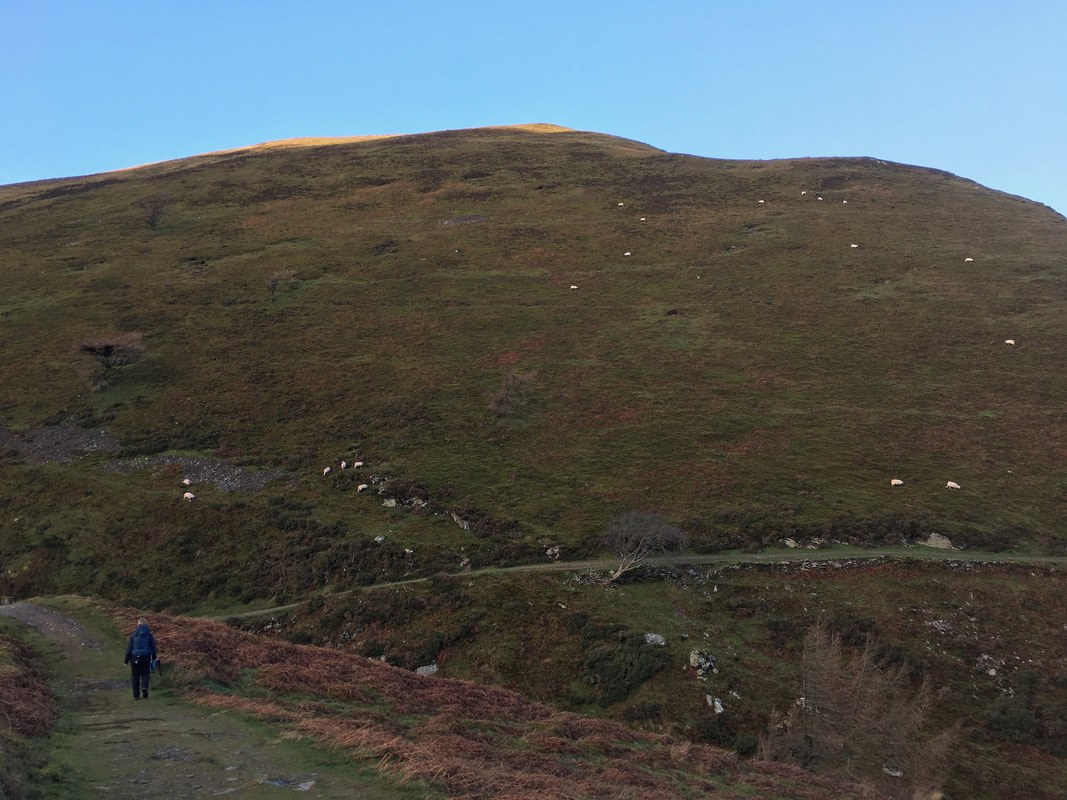
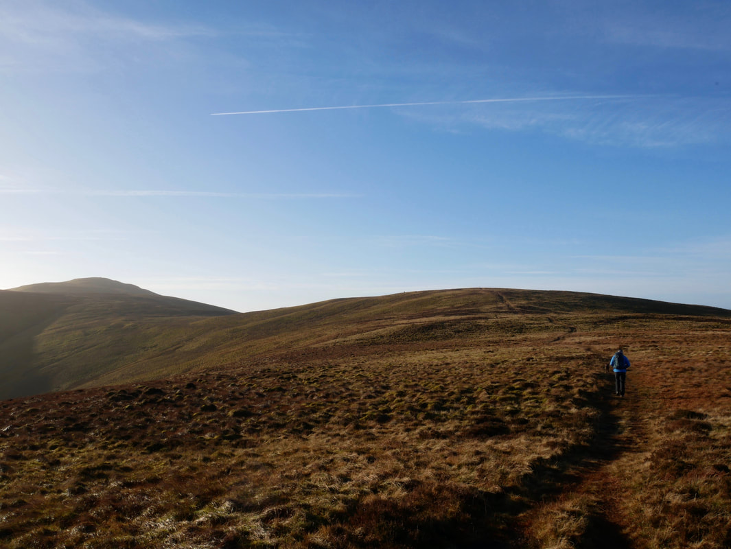
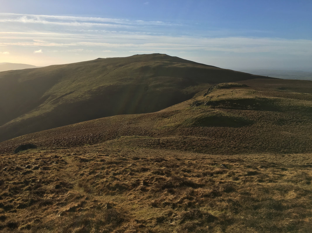
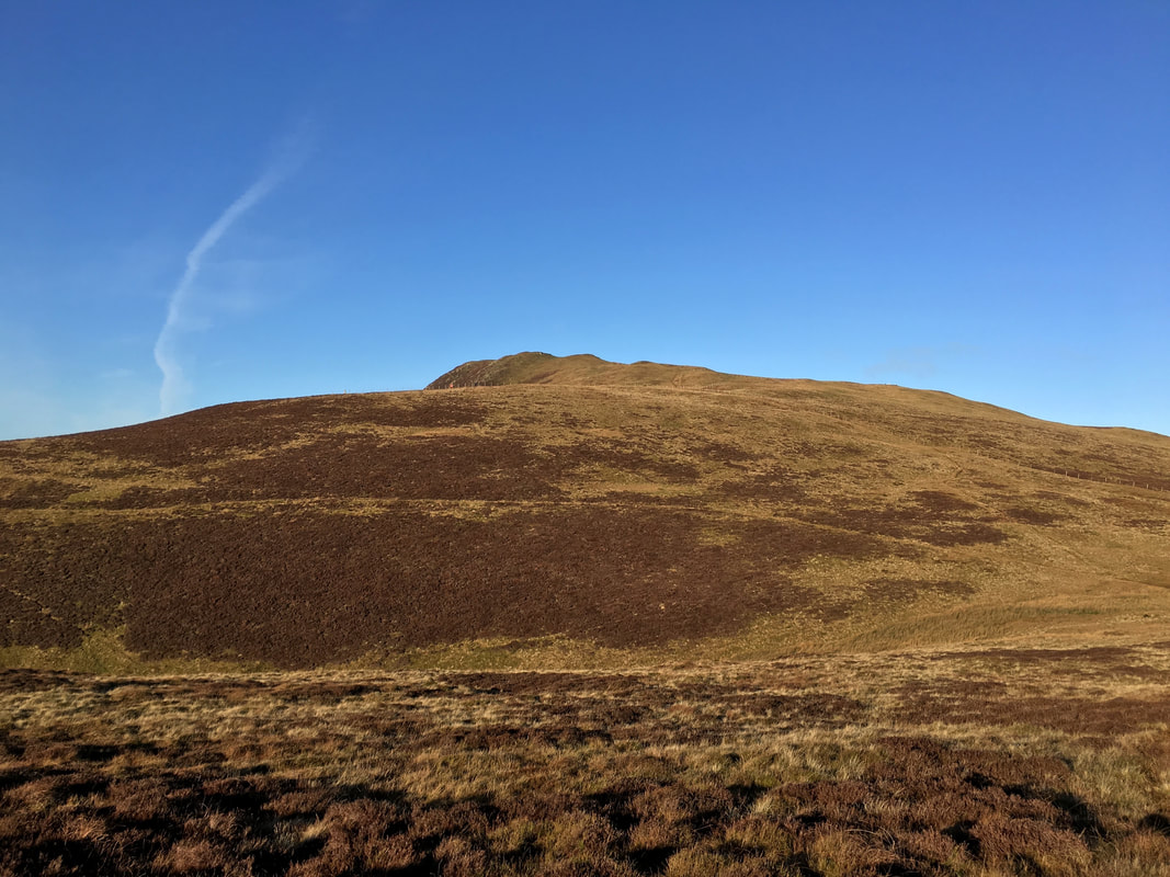
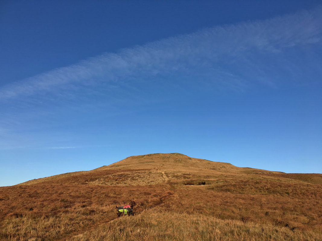
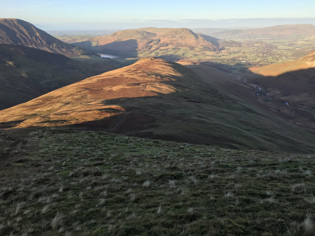
Once the initial climbing is out of the way, the gradient is nice and gentle. The summit is now ahead to the centre right with Blake Fell over to the left.
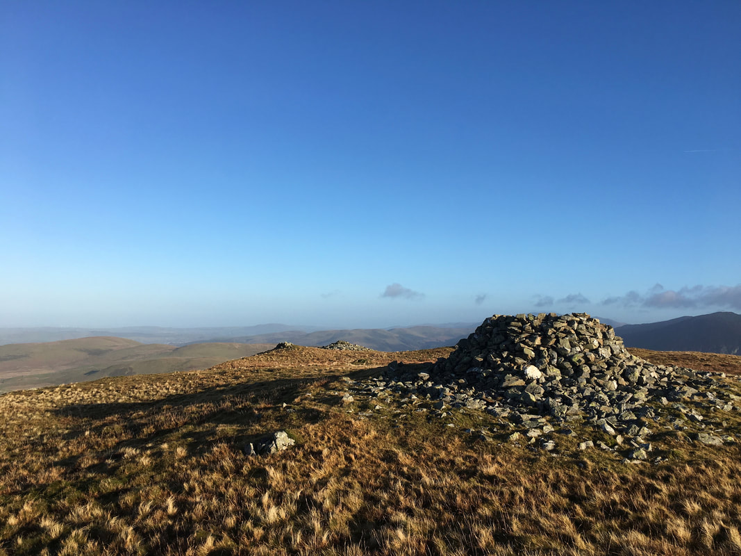
The summit of Burnbank Fell. The highest point is the iron straining post with a small cairn just beyond. The path heading away from the cairn leads to Owsen Fell. Wainwright described Burnbank Fell "as the gently rounded dome of an upland prairie" (Burnbank Fell 4).
Heading for the Birkett of Carling Knott - an out and back of sorts but a pleasant walk on a good path.
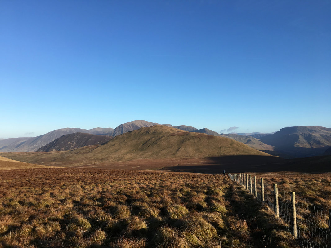
Blake Fell from the path to Carling Knott
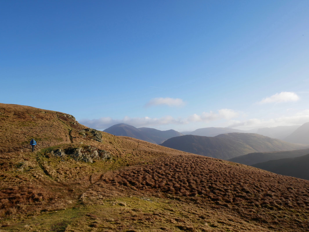
Approaching Carling Knott - this was a lovely stretch of walking with fantastic views to the North West
The wind shelter that marks the summit of Carling Knott - roughly 1/3 a mile to the north east is Loweswater End.
The summit of Loweswater End on Carling Knott
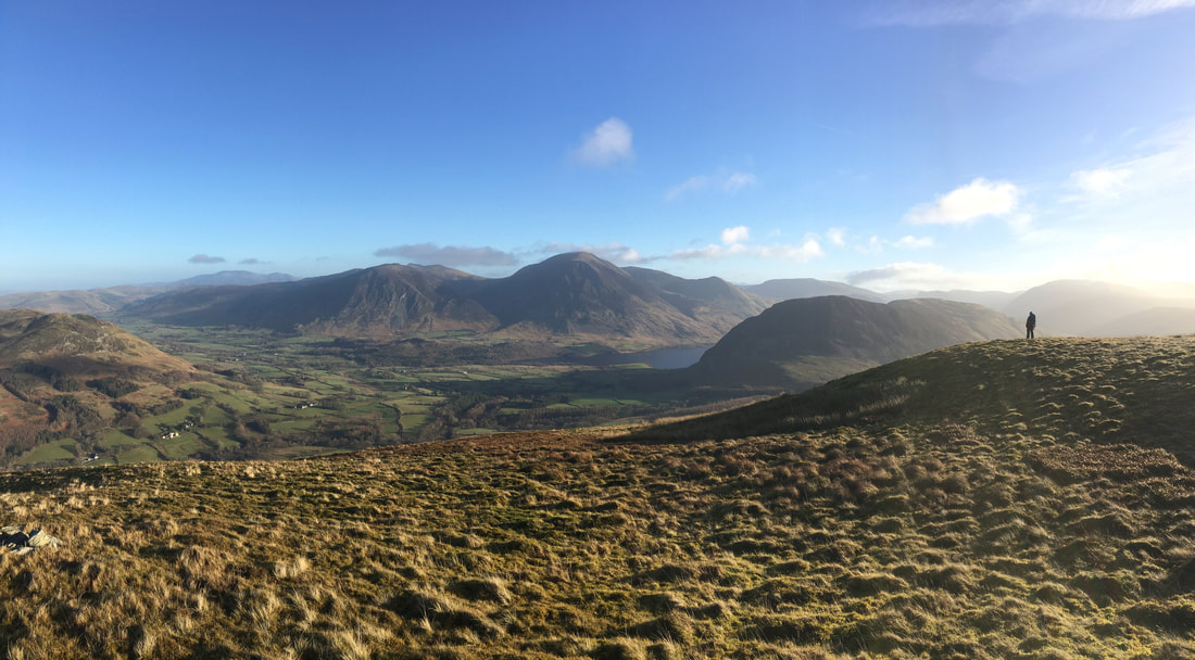
A panorama up on Carling Knott - what a view that is.
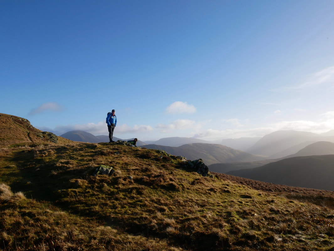
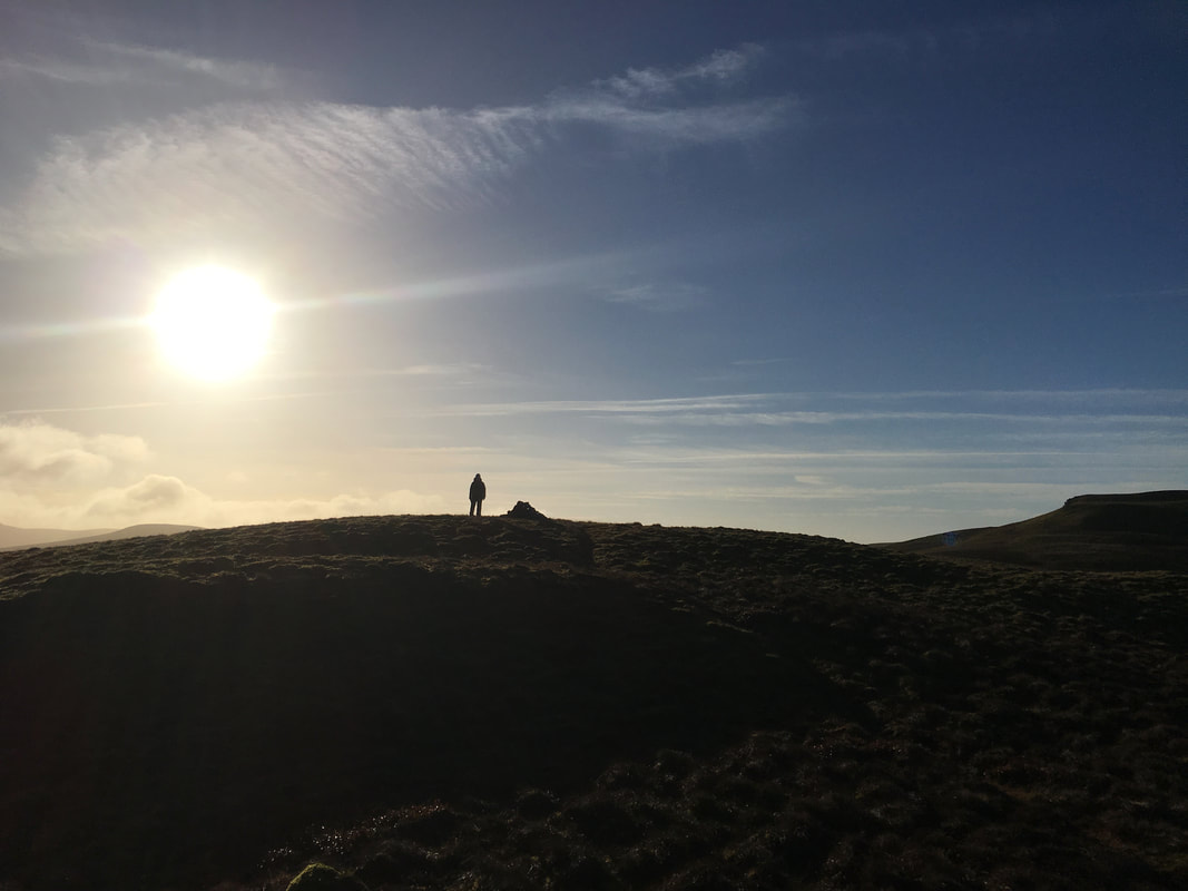
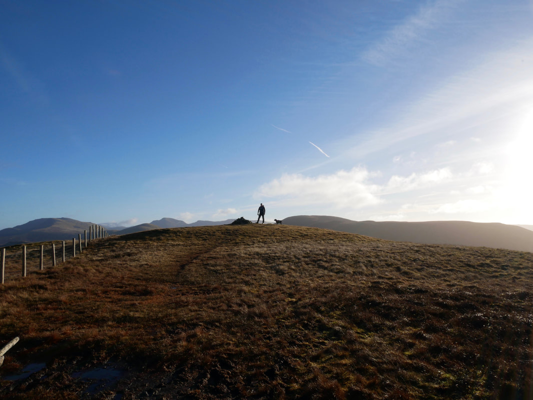
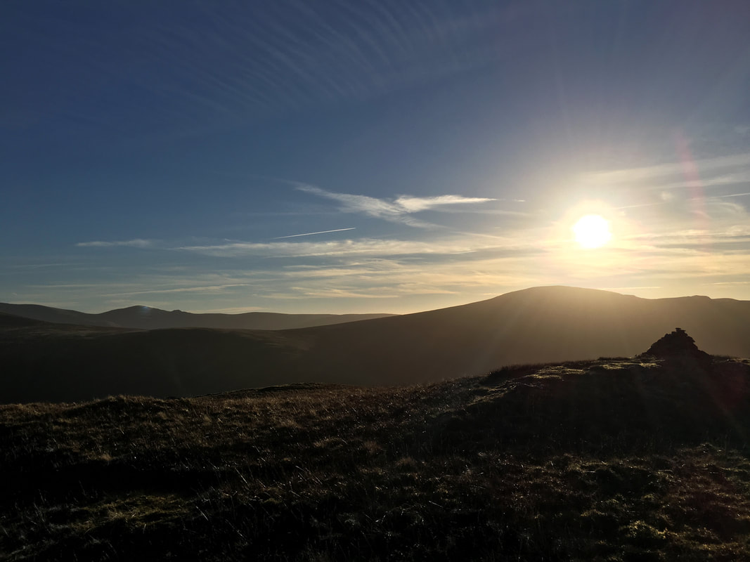
Loweswater End in silhouette
Grasmoor, Crummock Water & Mellbreak from Loweswater End on Carling Knott
The transit to Blake Fell from Carling Knott - a path does not appear on the OS Map but there is one on the ground.
Looking back to Carling Knott from the approach to Blake Fell
The summit of Blake Fell and the highest point on the group of hills known as the Loweswater Fells - four of which are visited on this walk with the other being Mellbreak.
Knock Murton & Cogra Moss from Blake Fell
We do not live far from here and climb Blake Fell often - it is not hard to see why it is a favourite of ours with views like this.
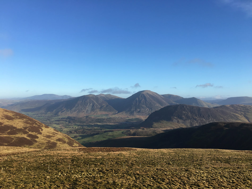
The North Western Fells from Blake Fell with Grasmoor right of centre
Heading for Gavel Fell from Blake Fell - the path handrails the fence line south east all the way
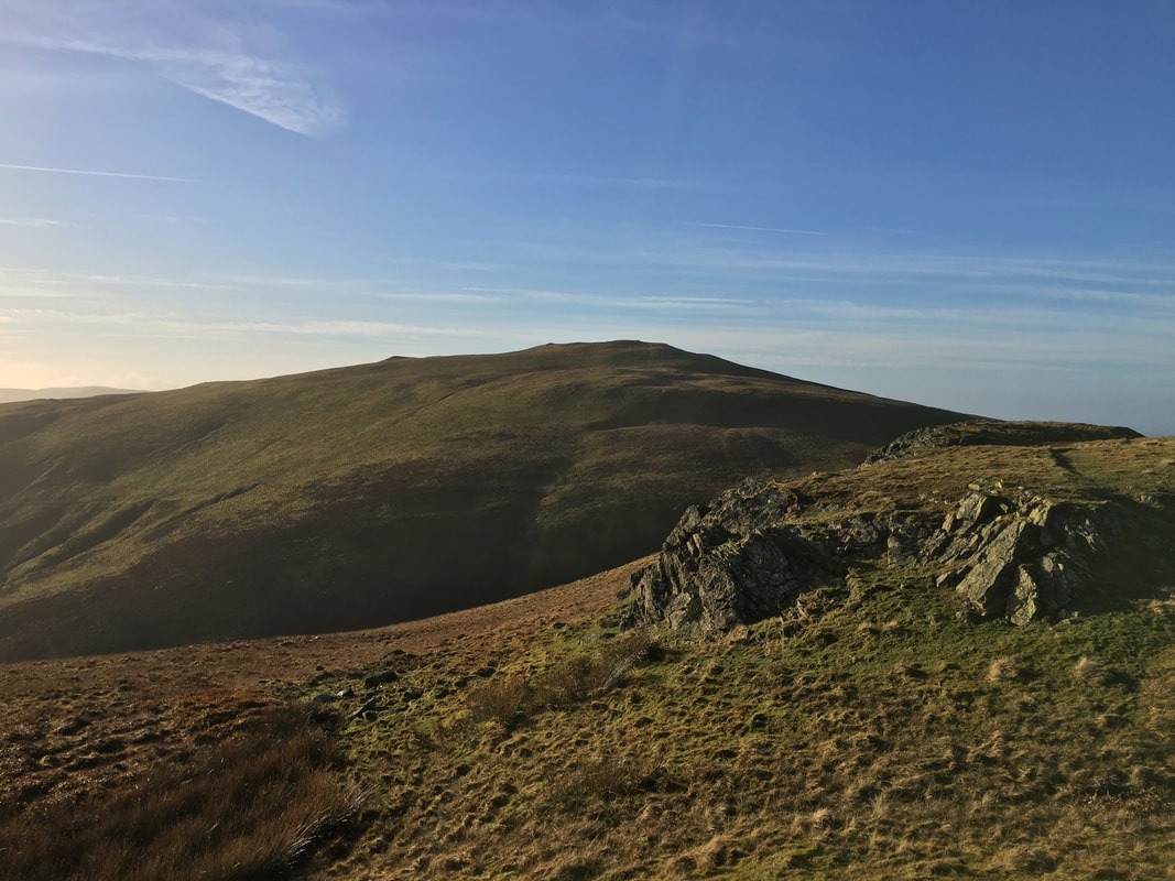
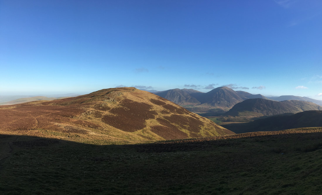
Blake Fell from the col leading to Gavel Fell
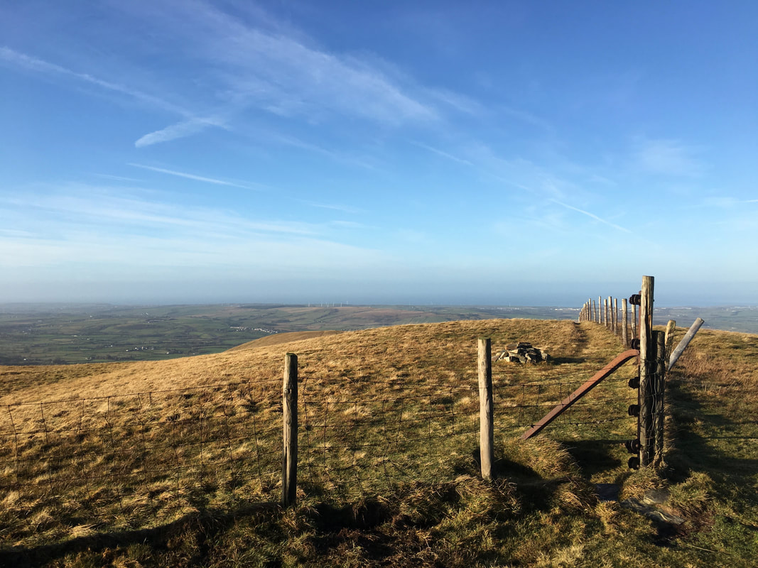
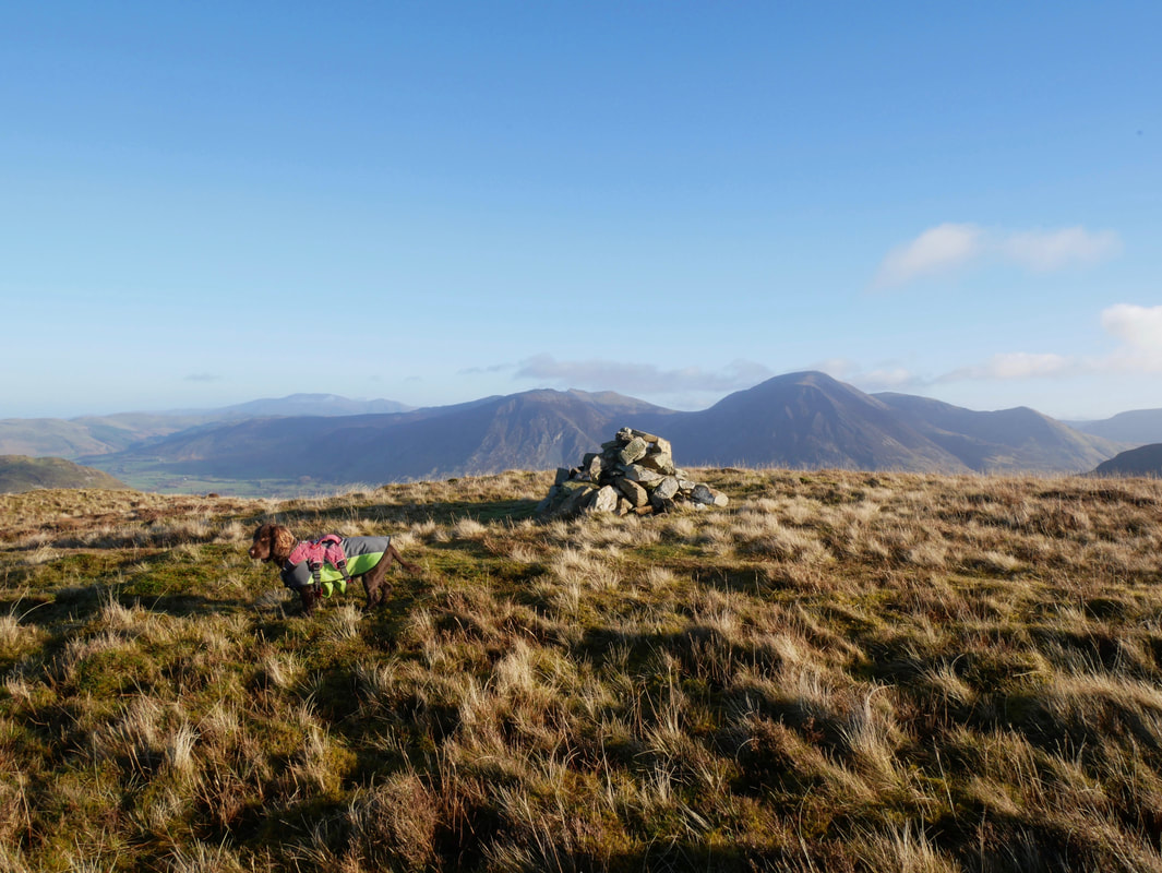
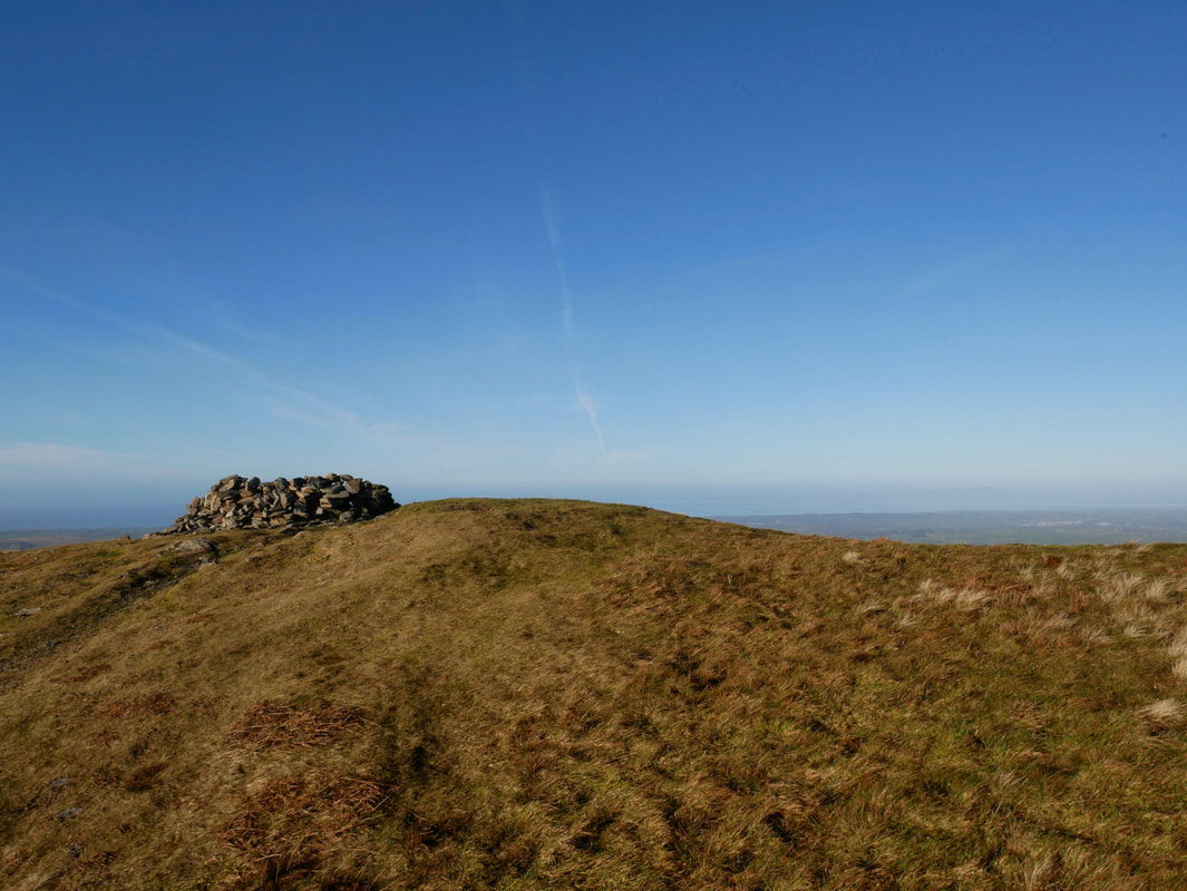
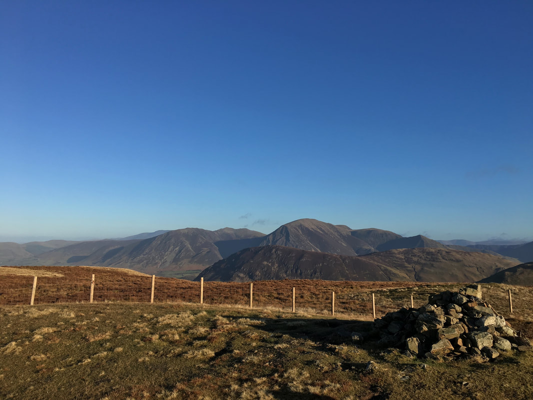
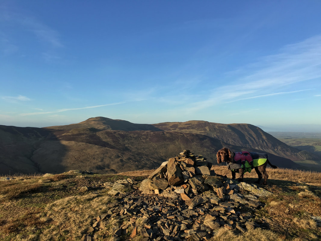
The cairn up on the summit plateau of Gavel Fell. The highest point of the fell is just over the fence to the left.
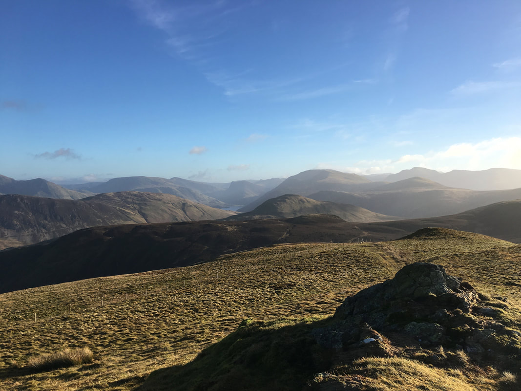
The North Western Fells from Gavel Fell
Our next objective of Hen Comb now in view as we descend Gavel Fell
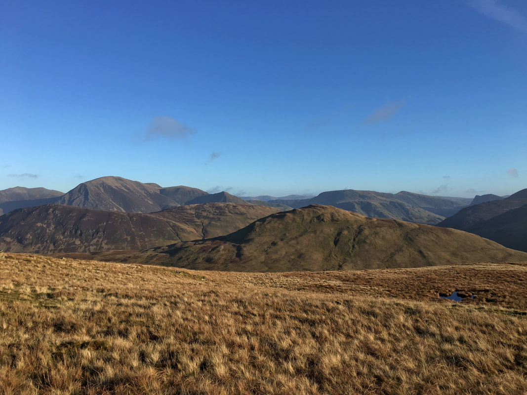
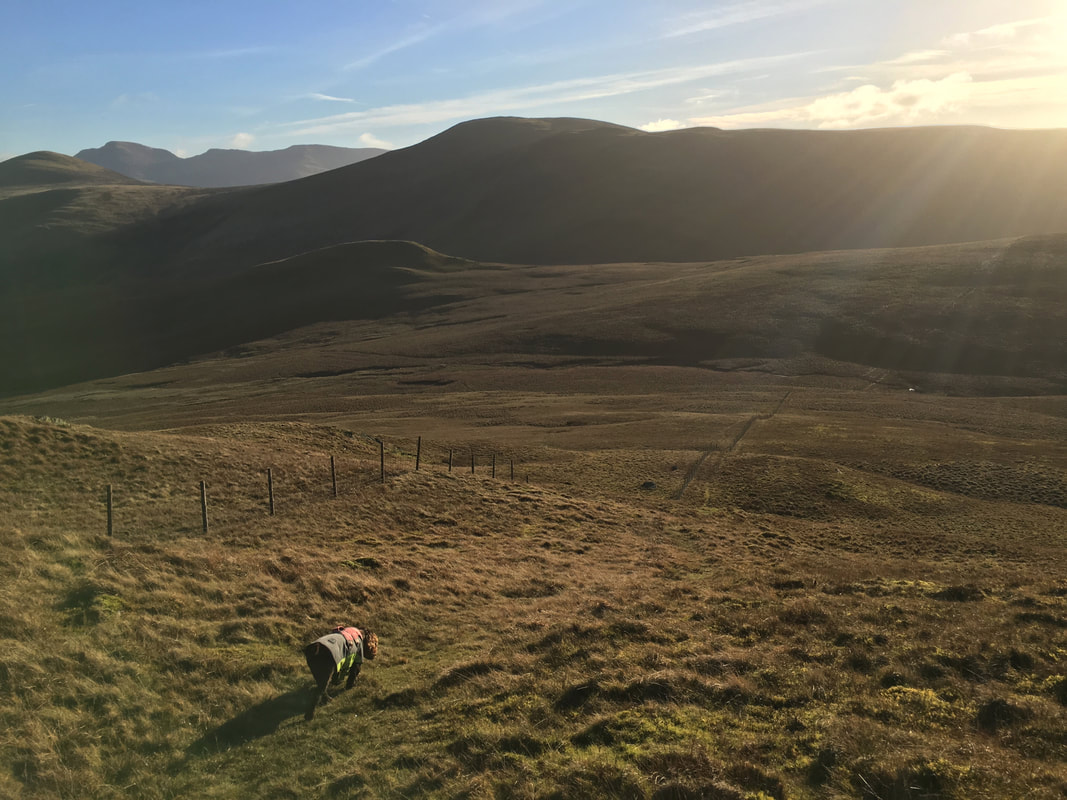
Continuing the gentle descent of Gavel Fell with Great Borne central, Starling Dodd to the left and Pillar distant. The small lump centre left foreground is Floutern Cop and if you have time is delightful little fell to climb. We were heading down to the col where we would cross the fence to the left and then head across Whiteoak Moss to Hen Comb.
Heading across Whiteoak Moss to Hen Comb - there was a path of sorts but it was intermittent & boggy.
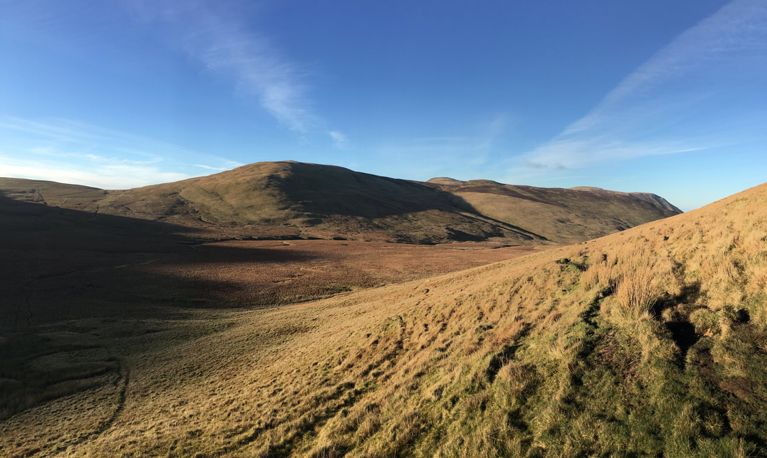
Looking back to Gavel Fell, Blake Fell and our outward route
Ascending to Hen Comb's ridge line
Once the ridge line was reached it was a simple, gradual climb to reach the summit
Fudge taking it easy on the southern slopes of Hen Comb
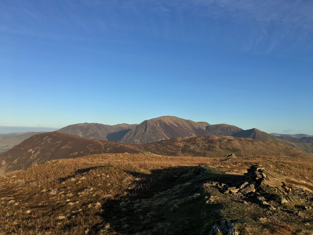
The summit of Hen Comb looking to our outward route
The summit of Hen Comb looking to Mellbreak with left to right Whiteside, Hopegill Head, Grasmoor, Wandope & Whiteless Pike
Hen Comb summit & Great Borne in silhouette
Descending Hen Comb towards Little Dodd
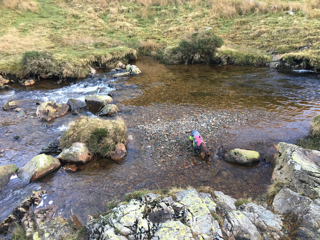
Fudge splashing about in Mosedale Beck
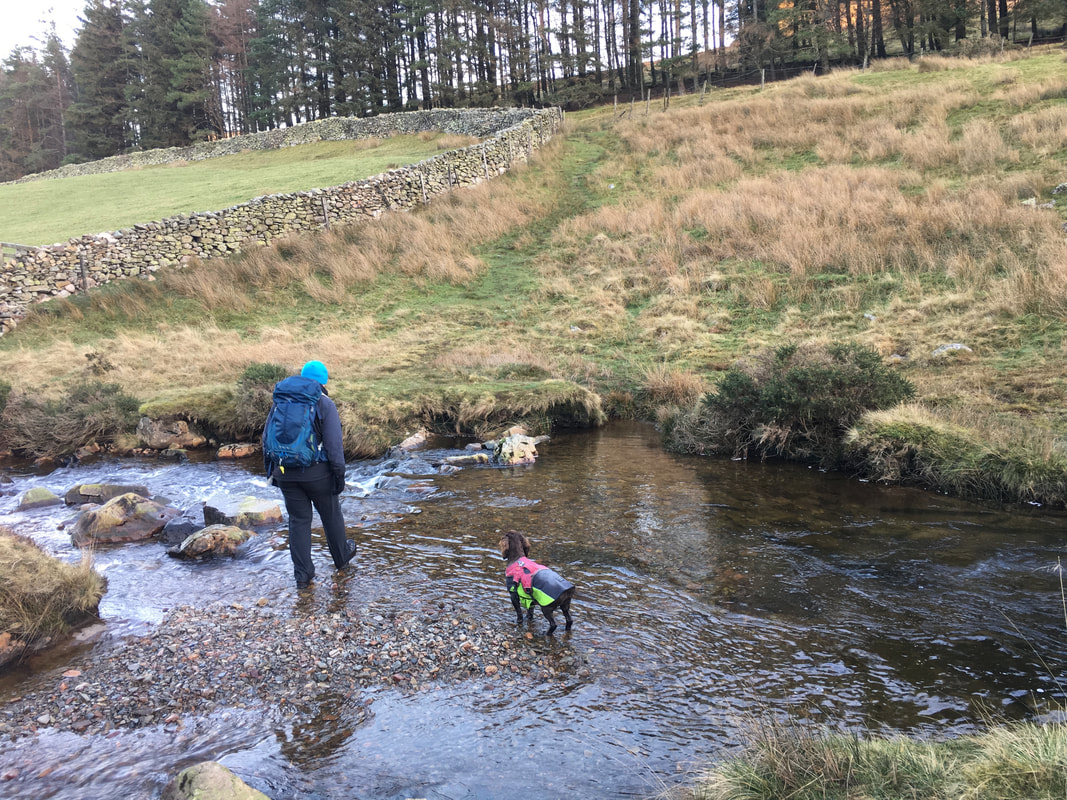
Crossing Mosedale Beck. In the summer months the crossing can be achieved fairly easily with feet remaining relatively dry. However after and during rain the beck understandably fills up and whilst in most cases a crossing can be made, be prepared to get your feet wet.
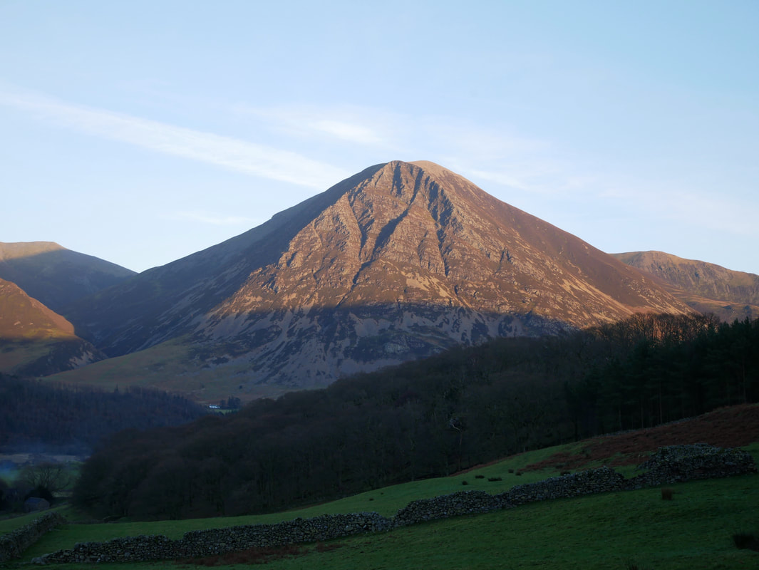
Grasmoor from Loweswater
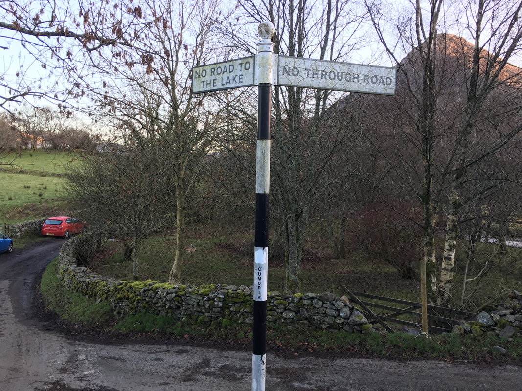
Wainwright described this sign near the Kirkstile Inn as "a negative signpost (intended to help motorists)" - Mellbreak 4
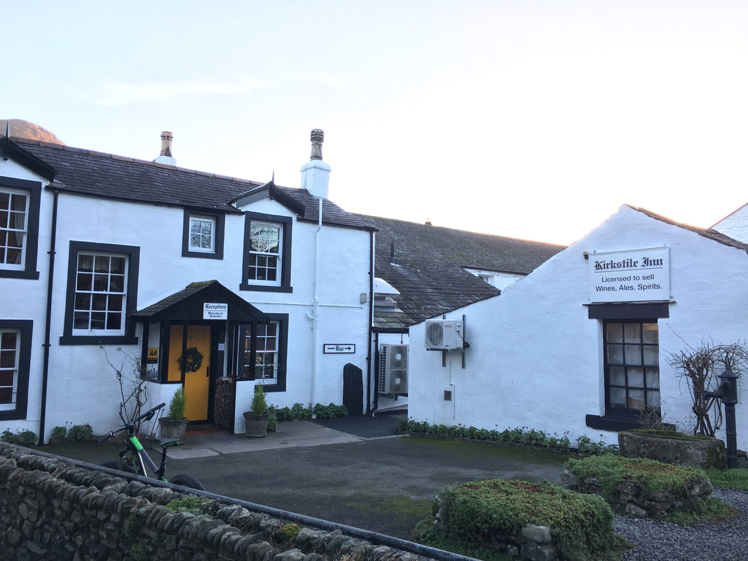
Didn't call in today but have used the pub on several occasions with the Loweswater Gold a very firm favourite
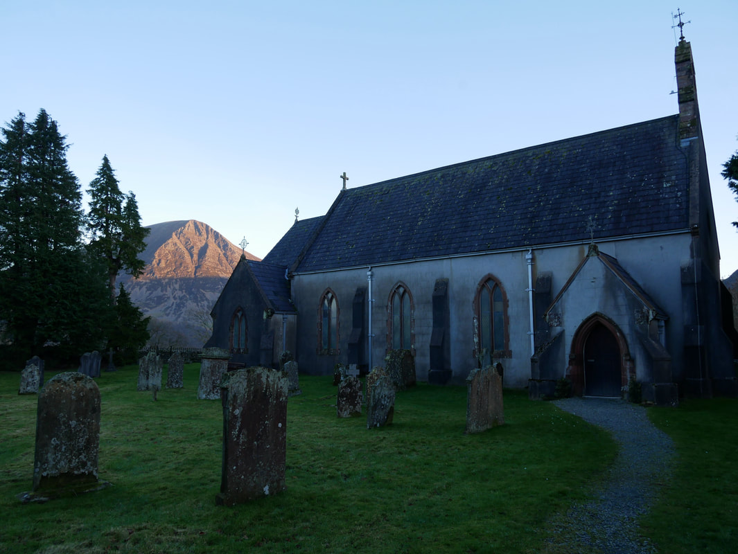
St Bartholemew's Church in Loweswater
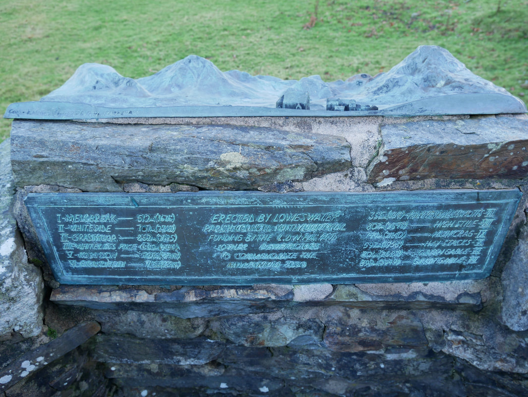
The Millennium Plaque at Loweswater Village Hall
