Kirk Fell - Sunday 7 May 2023
Route
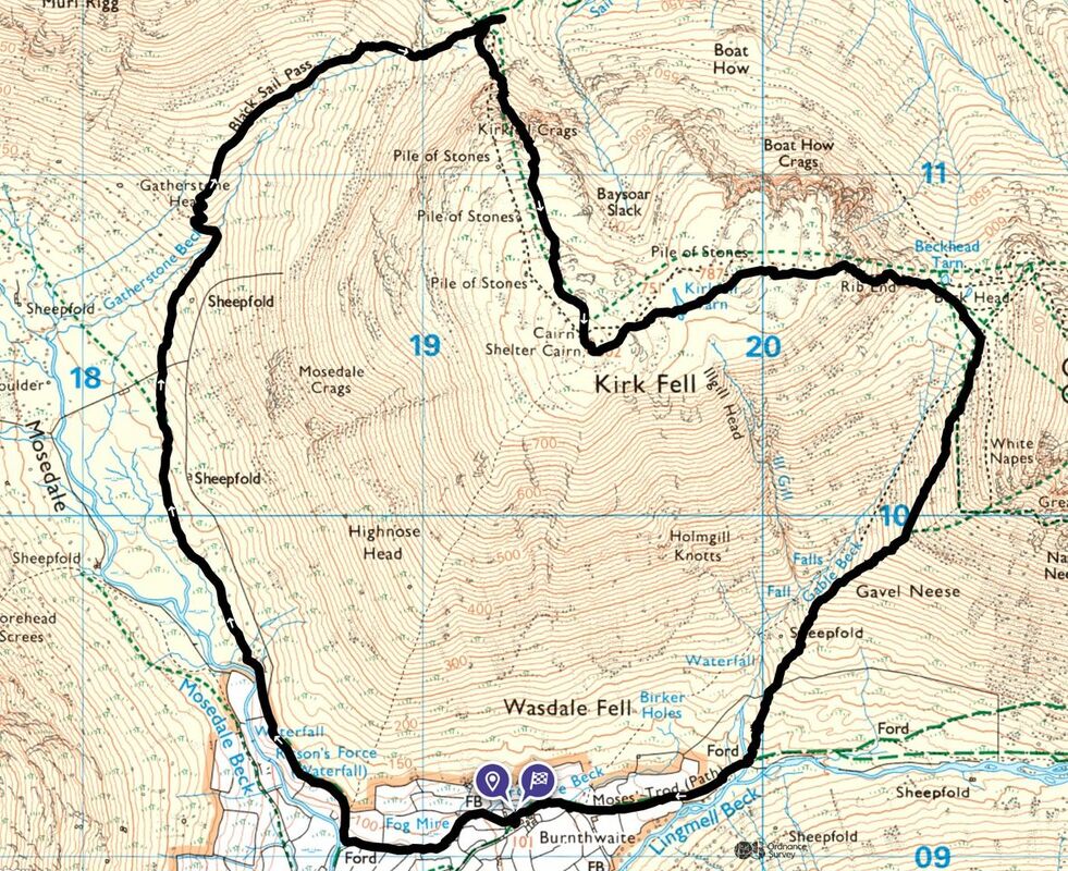
Burnthwaite Farm - Wasdale Head - Mosedale - Gatherstone Head - Black Sail Pass - Kirkfell Crags - Kirk Fell - Kirk Fell East Top - Rib End - Beck Head - Gavel Neese - Moses Trod - Burnthwaite Farm
Parking
We started directly from our accommodation at Burnthwaite Farm, however the walk can commence from Wasdale Head where there is plenty of parking on the green. The Grid Reference is NY 18670 08490 and the nearest postcode is CA20 1EX.
Mileage
6 miles
Terrain
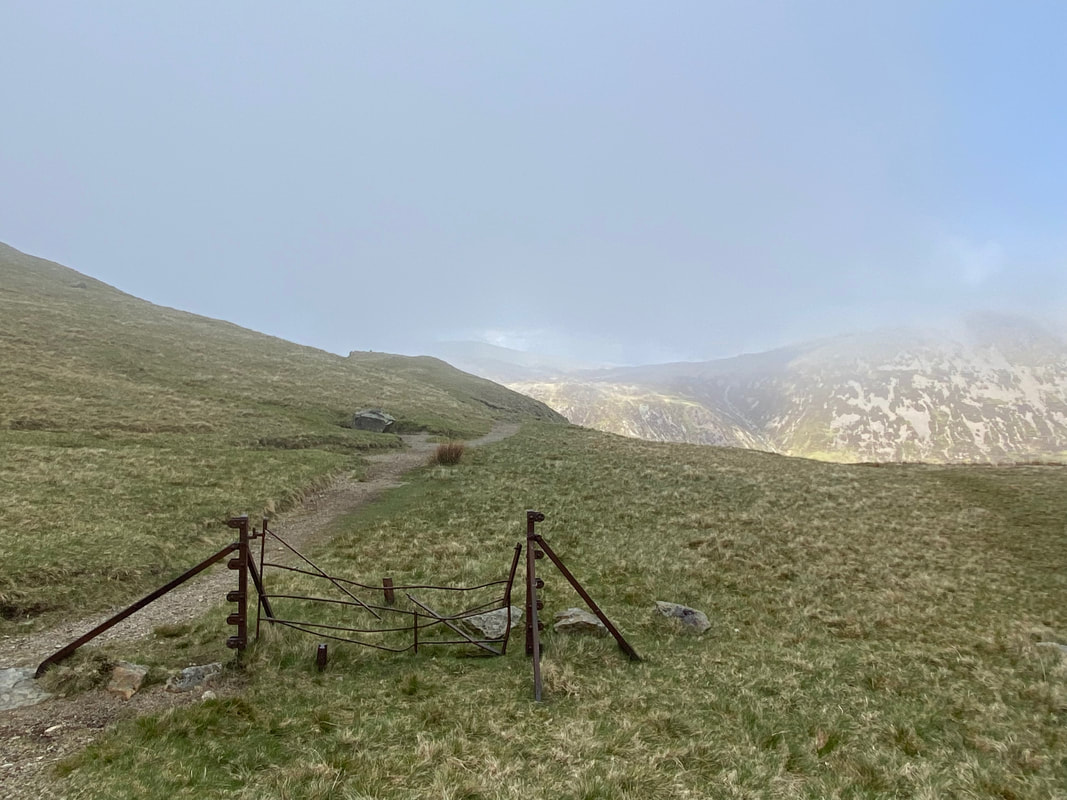
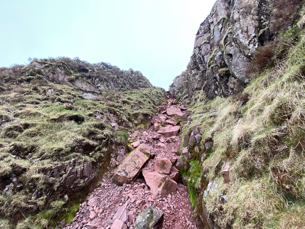
Good mountain paths for the most part however it should be noted that the route to Kirk Fell via Kirkfell crags is a steep scramble therefore the safer path heading to the right should be taken which follows a line of old fence posts - the path split is at Grid Reference NY 192 113.
Additionally, the path back to Wasdale Head from Beck Head via Gavel Neese is steep and over loose scree and steepens further once the scree is negotiated. There is another path to the west of the Gavel Neese path that runs alongside Gable Beck.
Weather
A mixed bag ranging from overcast conditions with low cloud to good visibility and sunshine.
Time Taken
4hrs
Total Ascent
2522ft (769m)
Wainwrights
1
Map
OL4 The English Lakes (North Western Area)
Walkers
Dave & Fudge with Angie meeting us at Beck Head
|
GPX File
|
| ||
If the above GPX file fails to download or presents itself as an XML file once downloaded then please feel free to contact me and I will send you the GPX file via e-mail.
Route Map
We were staying at the holiday cottage attached to Burnthwaite Farm. The property is an ideal base for Wasdale and its surrounding fells - the cottage rates are extremely competitive and a link to their website is here
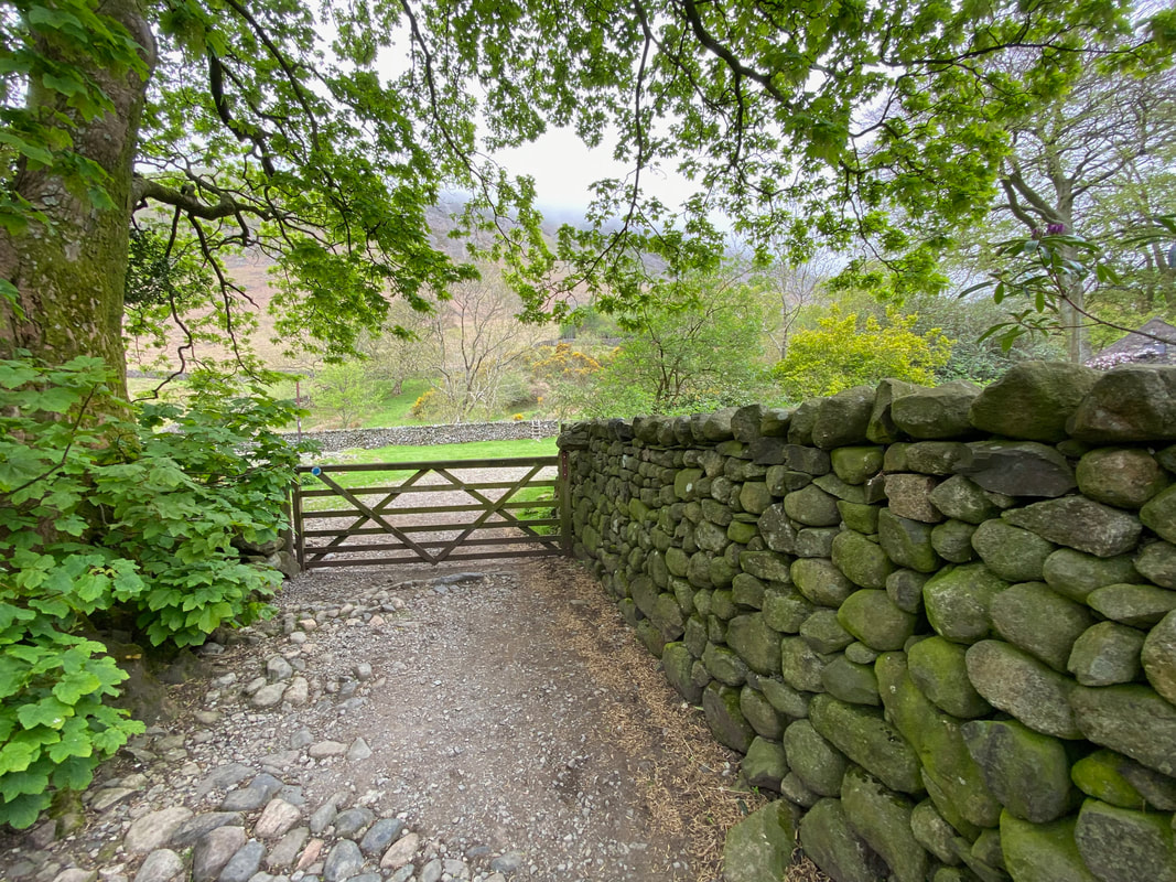
Directly from the cottage door a path leaves in the direction of Sty Head & Great Gable which heads to the right along Moses Trod once through the gate. I was heading to the left towards Wasdale Head.
Shortly after turning left another gate is reached which leads to a path between field walls
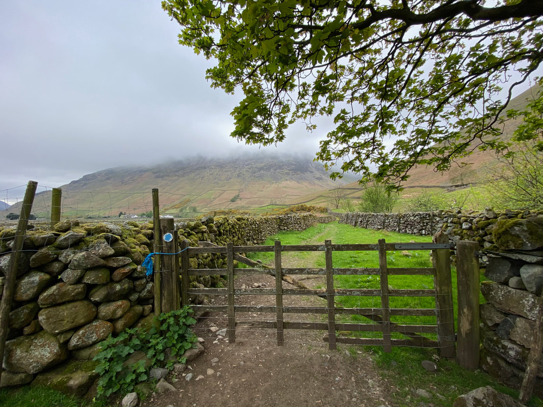
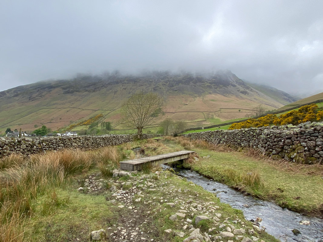
With Wasdale Head to the left and Yewbarrow shrouded in cloud, the path follows Fogmire Beck crossing it via several footbridges
The route reaches a fork - left for Wasdale Head and right (my route today) for Mosedale
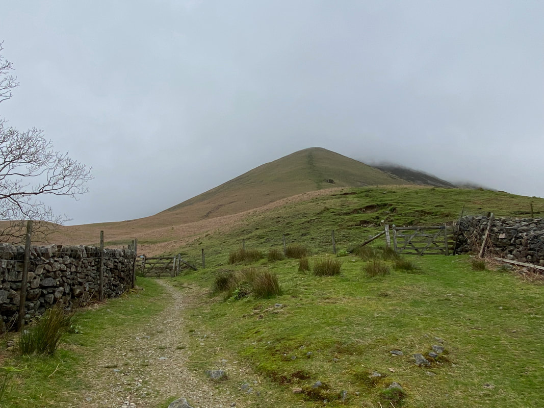
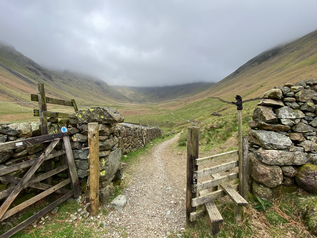
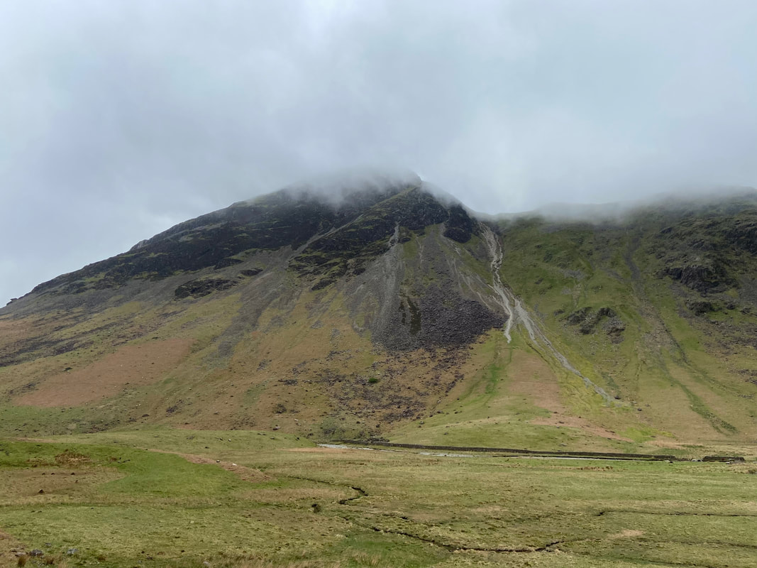
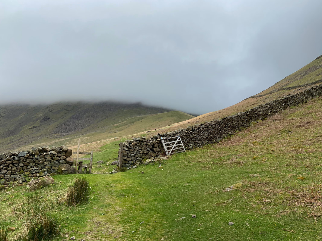
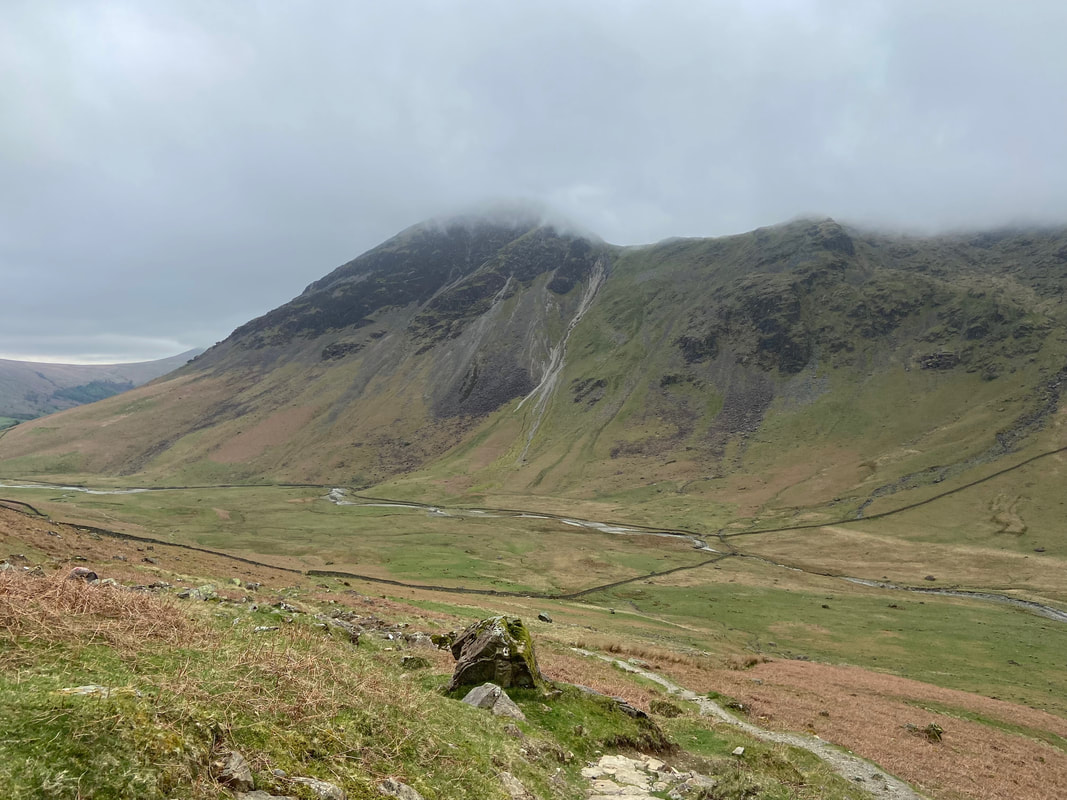
A hundred yards from the path junction the route splits again at two gates. I was heading through the left hand gate to Mosedale - the right hand gate is the path to the dreaded "straight up the nose" ascent of Kirk Fell. It is a hard, hard ascent which is made worse by a scree section near the summit. On this occasion, only the start of the steepness was in view due to the low cloud.
Looking across to Yewbarrow which unfortunately was still in cloud - with a bit of luck it would move on soon.
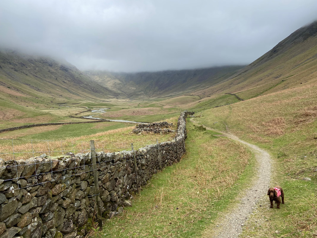
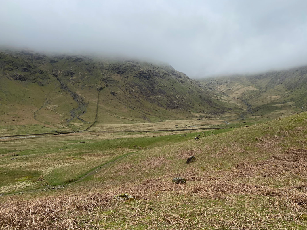
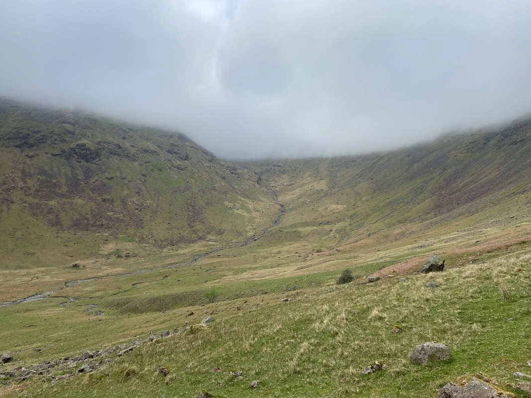
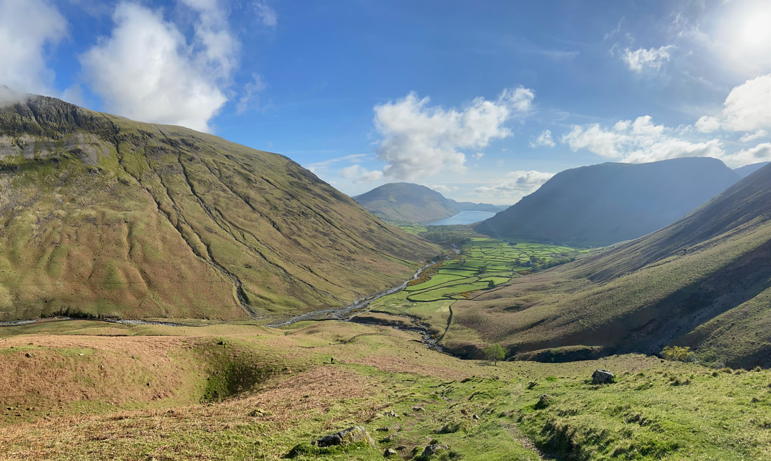
Looking along Mosedale towards Wind Gap and Pillar with the slopes of Red Pike to the left and Kirk Fell to the right
I wonder how far up the valley the one gloved person is?
Yewbarrow & Dore Head with its infamous screes
At Grid Reference NY 18252 10162 the path splits - I would remain here on the higher path with the lower path heading to Wind Gap
The lower path through Mosedale with Wind Gap over to the right
The route passes through another wall gap as it heads up to Gatherstone Head
Wind Gap from the Gatherstone Head path
Stirrup Crag on Yewbarrow & Dore Head from Gatherstone Head
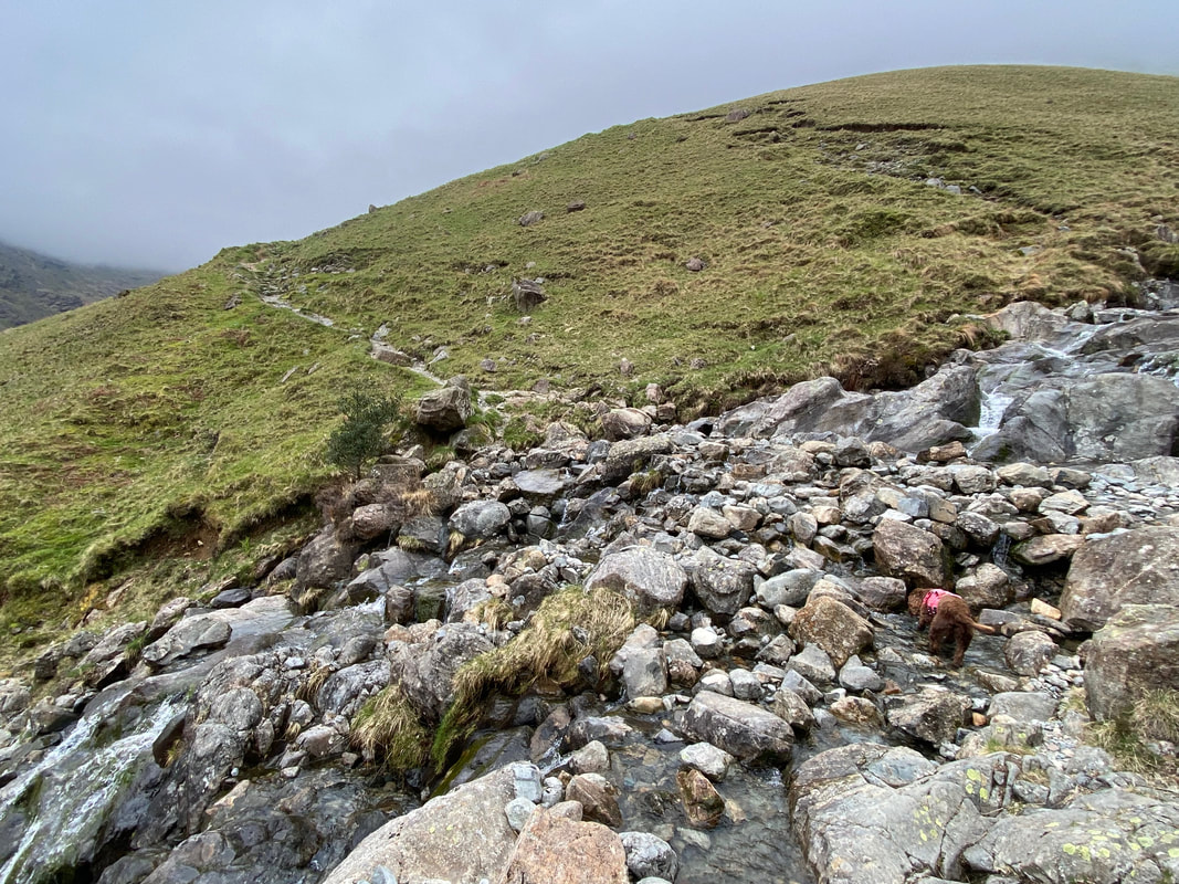
Crossing Gatherstone Beck as Fudge has a quick slurp - even when the beck is in spate it can be crossed easily
Looking over Gatherstone Beck to Wasdale Head
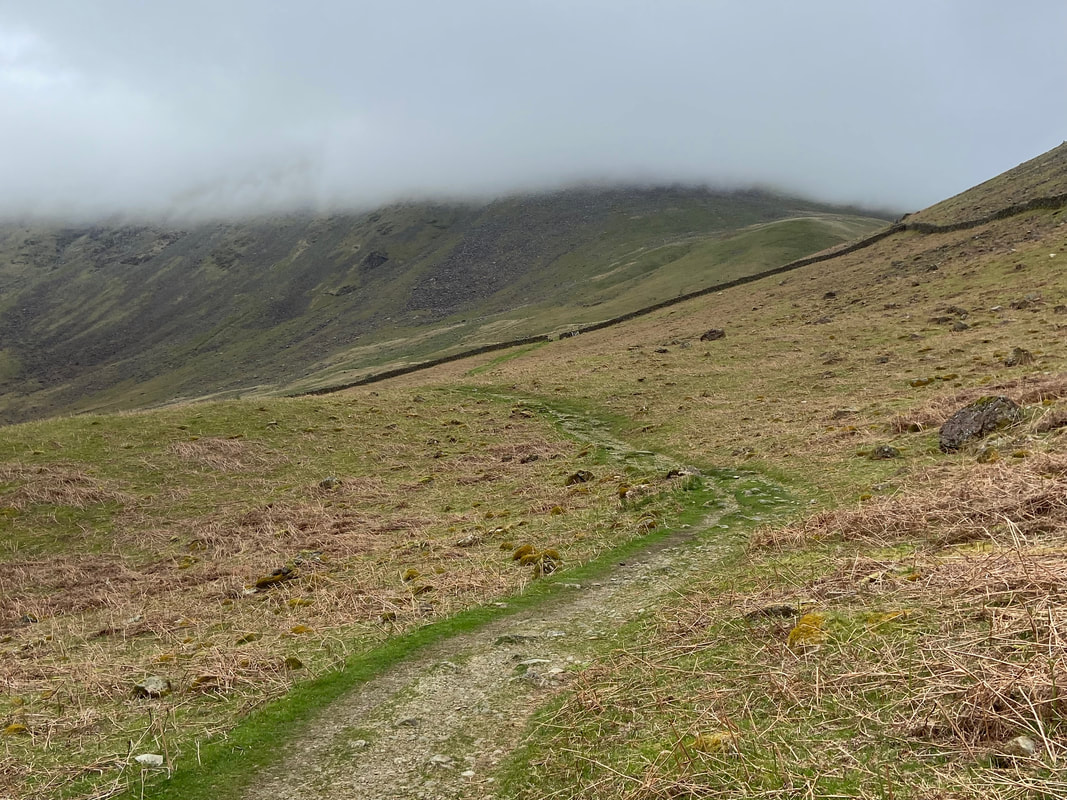
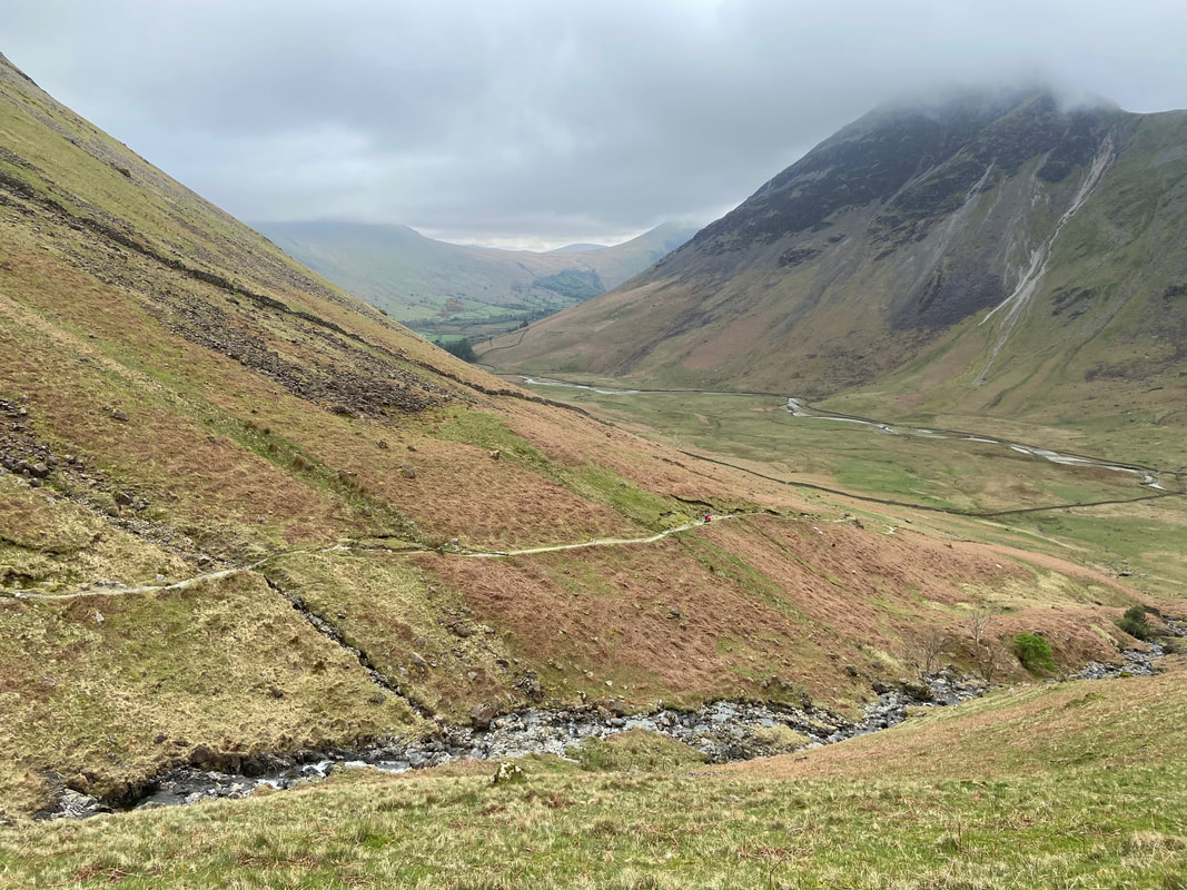
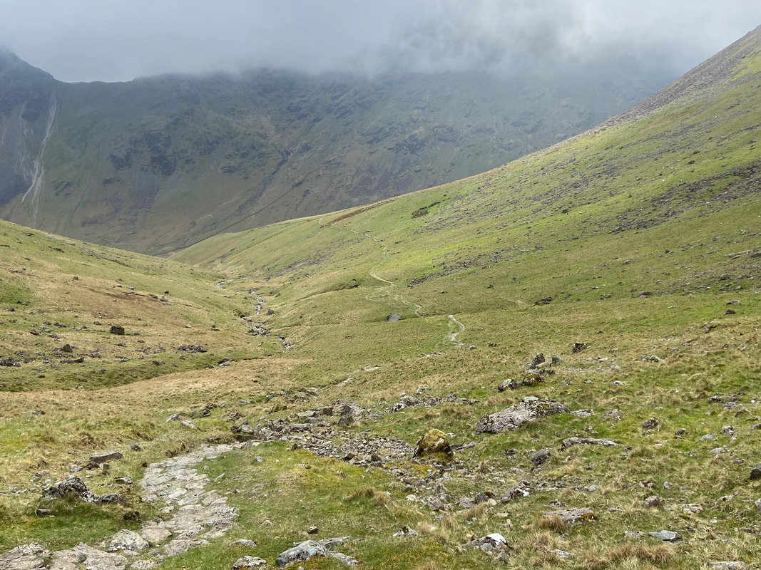
My route of ascent from near the top of the Black Sail Pass
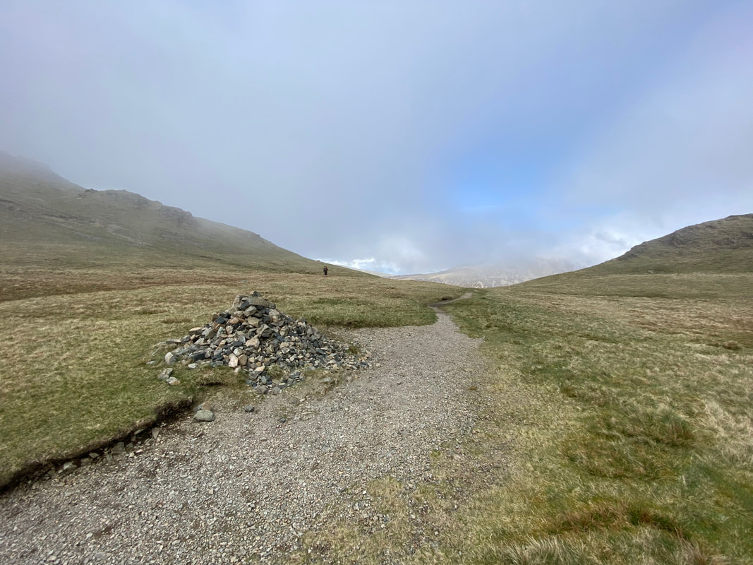
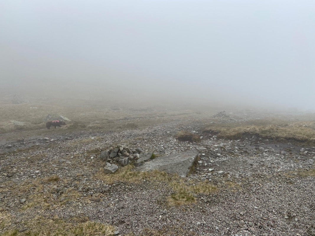
A large cairn marks the top of the Black Sail Pass
The top of the Black Sail Pass - the path ahead leads down into Ennerdale. Thankfully, someone had remembered to shut the gate!!
Looking down to the head of Ennerdale from the top of the pass. The steep path in the centre of shot is the Coast to Coast route climbing up Loft Beck.
Boathow Crags from the top of the Black Sail Pass
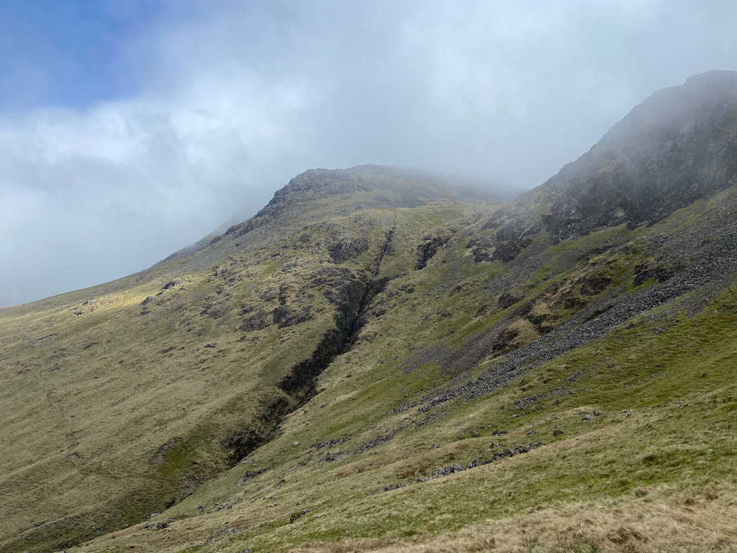
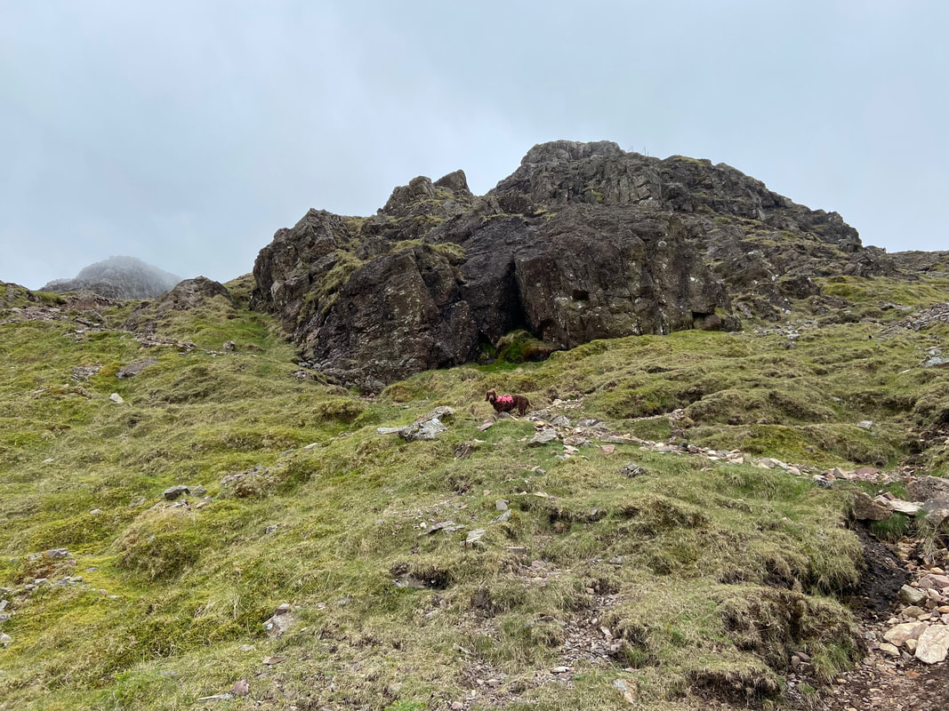
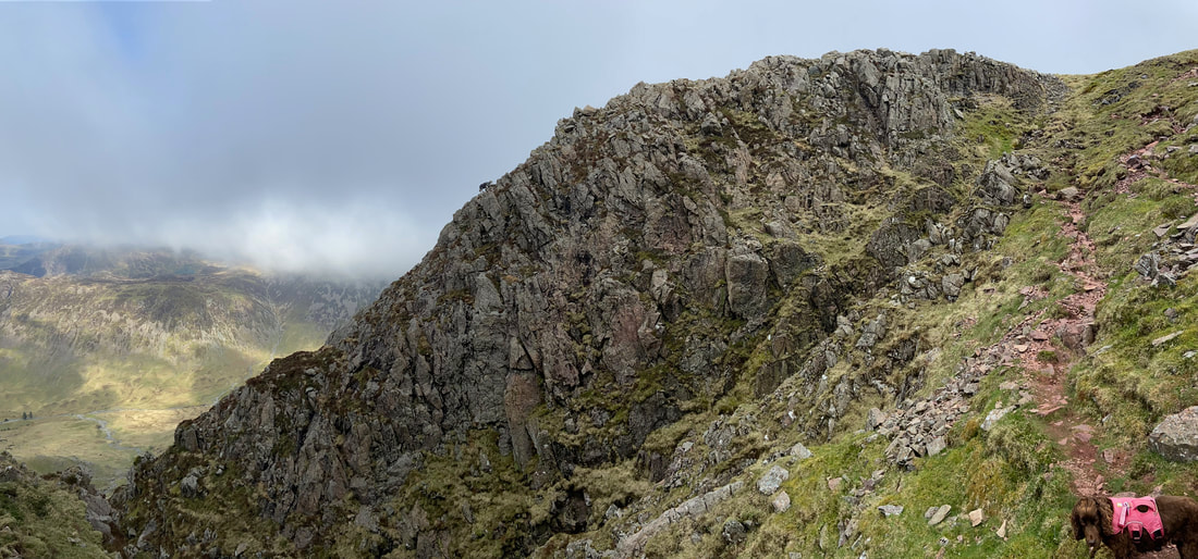
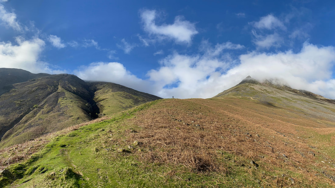
Kirkfell Crags ahead of me now - I would be heading left today although the easier climb is to the right
Fudge stands at the path junction as he wonders to himself in which direction will we be going today
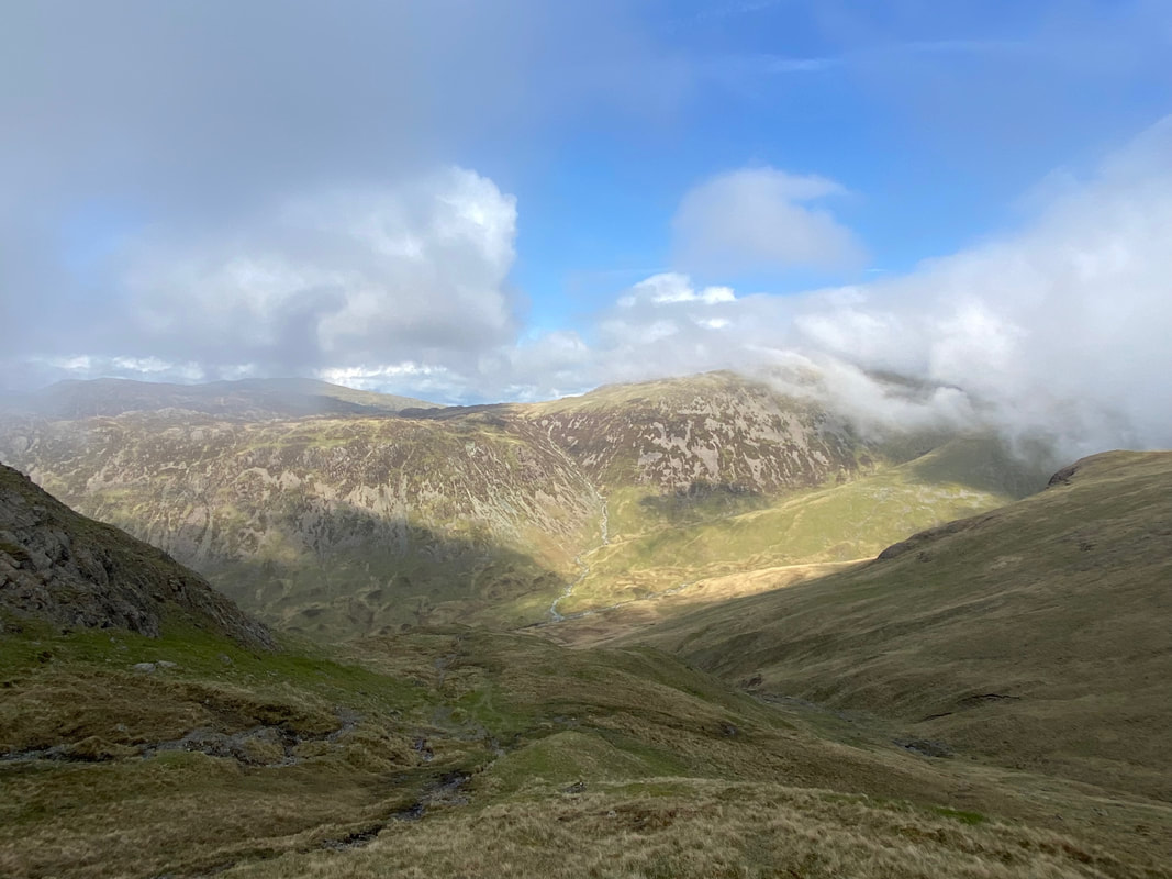
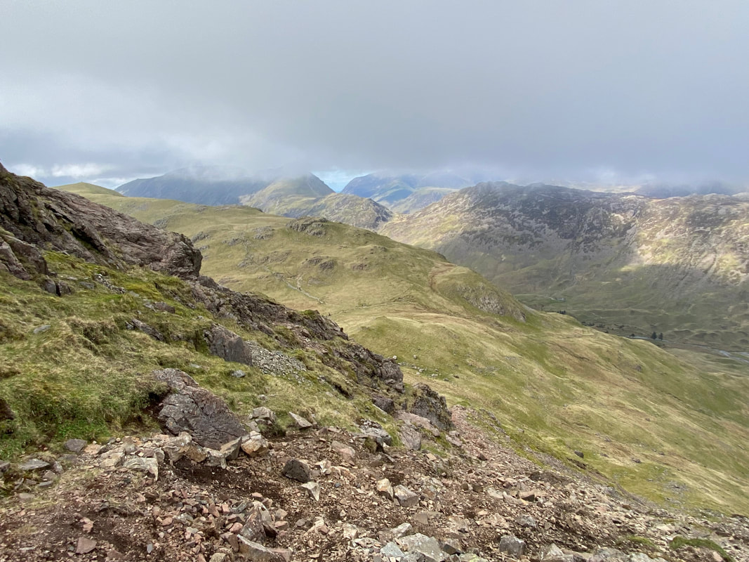
And up we go - by this time the low cloud was starting to lift giving me views over Looking Stead to the High Stile ridge
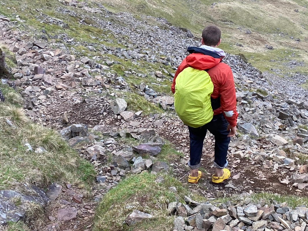
I had a brief chat with this chap but didn't broach the subject as to why he was wearing crocs on a descent like this - it was bad enough climbing it in boots. I hope he got down ok.
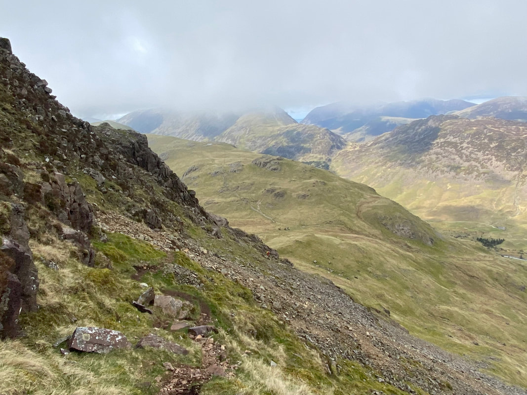
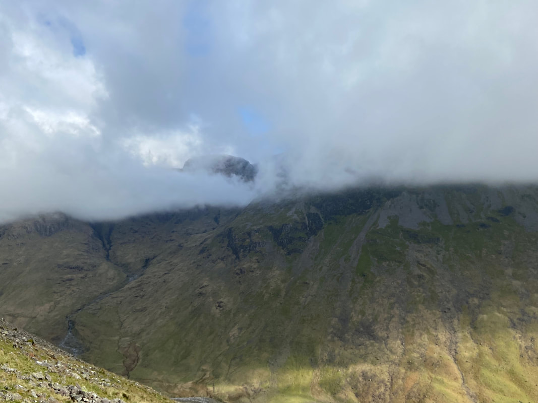
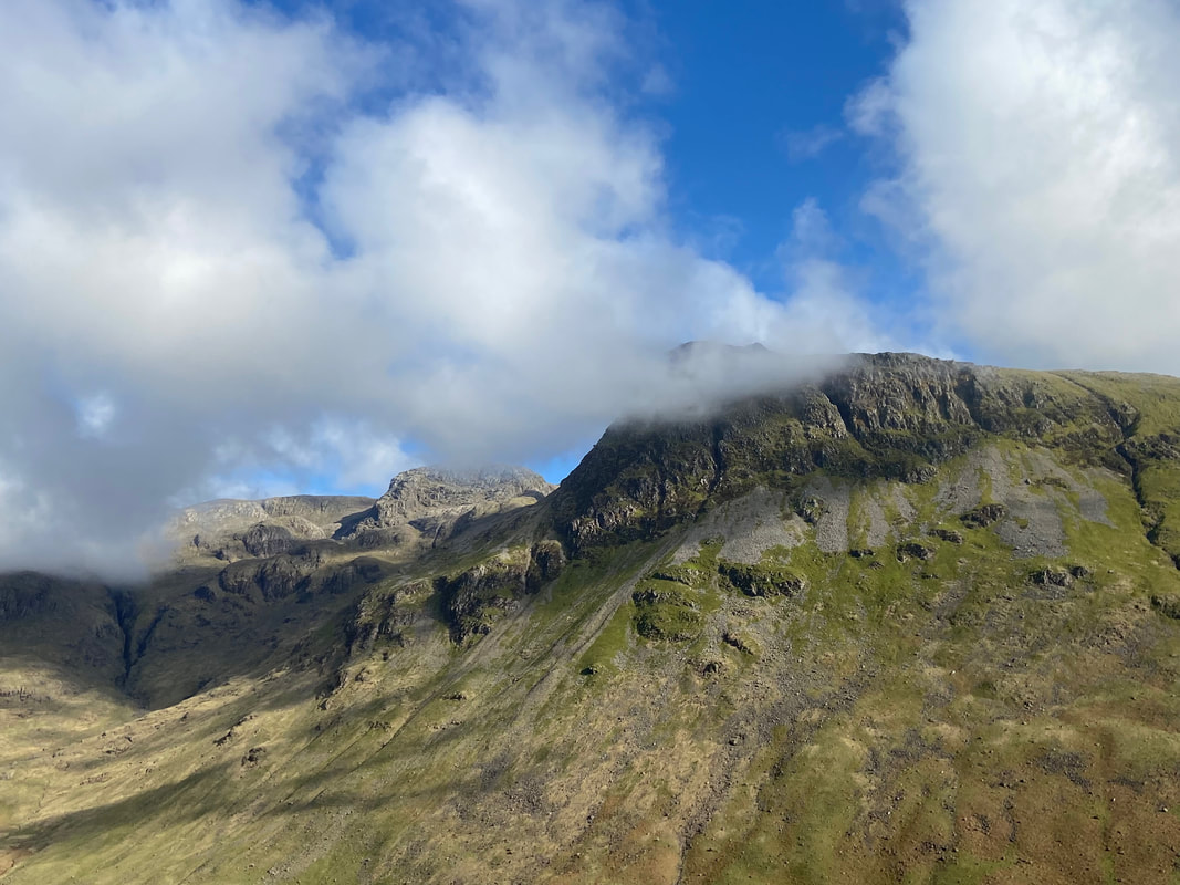
A little further up and the low cloud was still hanging on to the tops of the higher fells
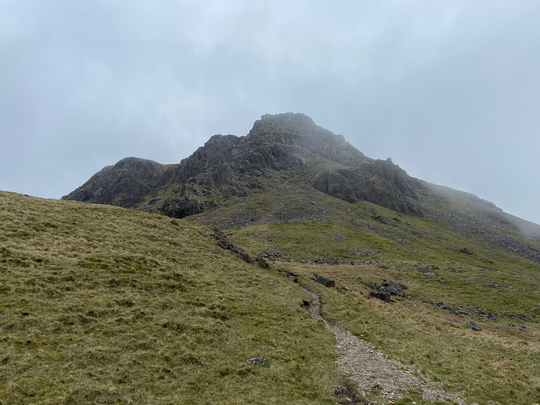
Nearing the top of the scramble - this was great fun
The eastern end of Kirkfell Crags from the top of the scramble
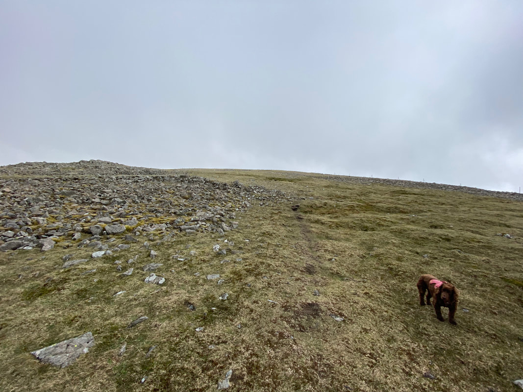
The summit of Kirk Fell now in sight as we enjoy the easier gradient
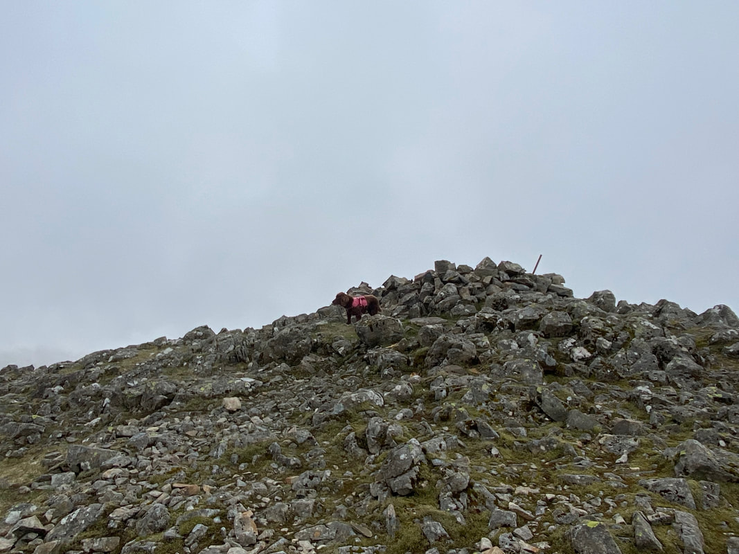
Fudge on the summit of Kirk Fell - no views today unfortunately
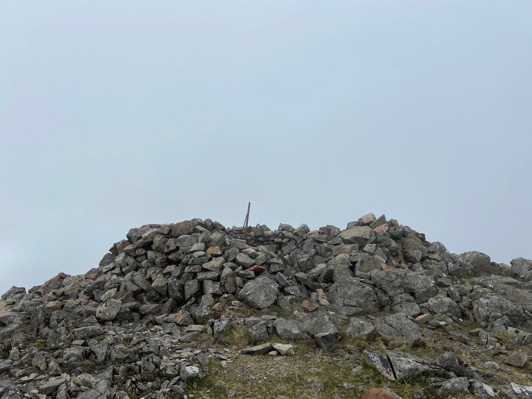
The large wind shelter that marks the summit of Kirk Fell
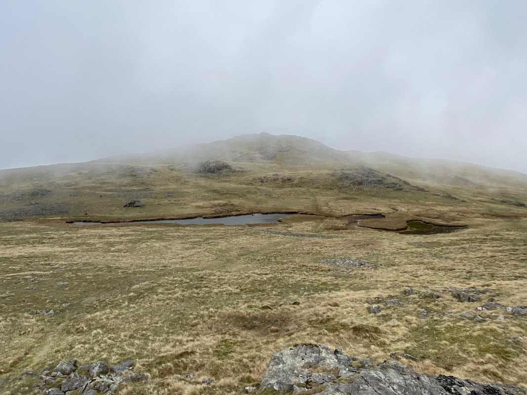
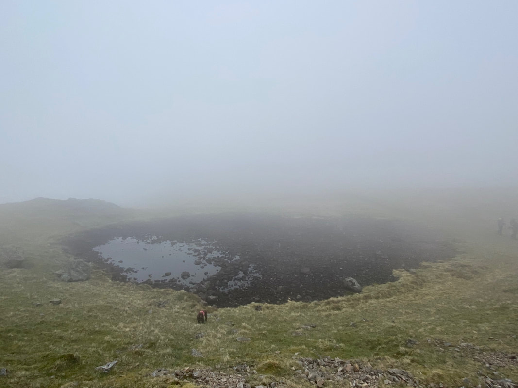
Kirkfell Tarn with Kirk Fell East Top beyond
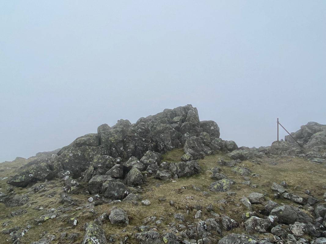
The summit of Kirk Fell East Top
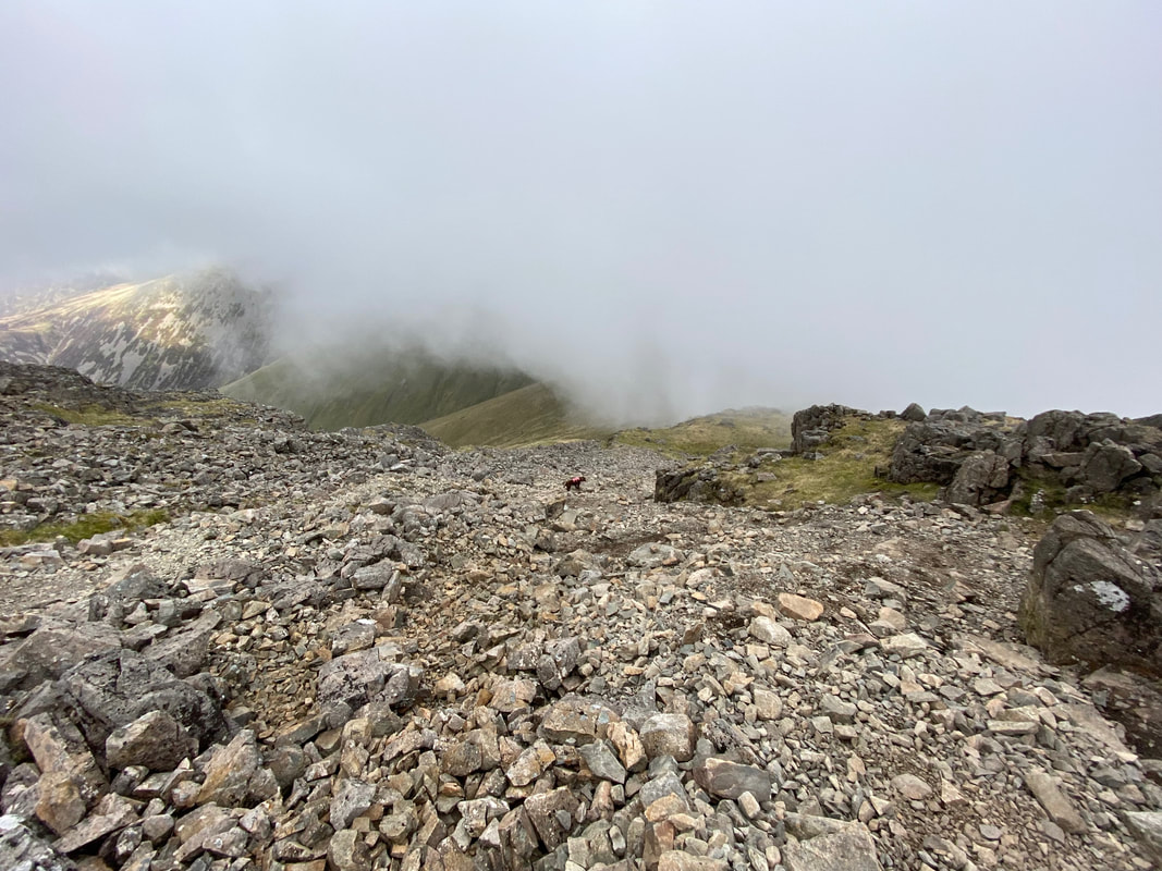
Fudge ahead of me as we descend Rib End to meet Angie at Beck Head
Gloomier than a big bag of gloomy things as we reach Beck Head - Angie was around here somewhere
The top of the Gavel Neese path on Beck Head - having successfully joined up with Angie it was time to make our descent back to Wasdale Head.
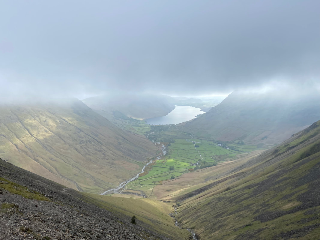
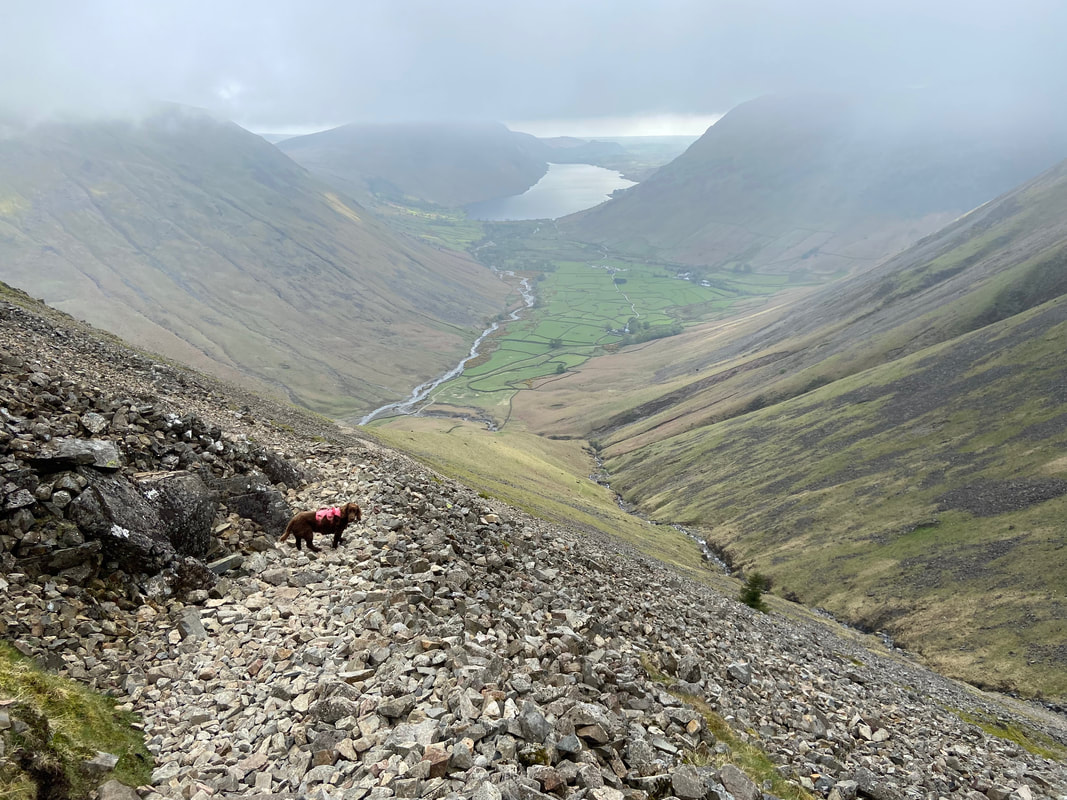
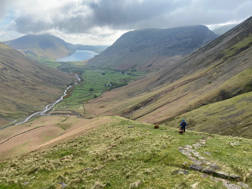
The scree slopes of the Gavel Neese path over to the left as we make our descent - Wastwater is now in view
The loose stone scree is not particularly onerous although it is an easier path in ascent rather than descent. It is just a question of taking ones time and enjoying those views although it does help if you have 4 paw drive.
A cloudy Lingmell - it felt like the cloud was starting to thin as we continued our descent
Once clear of the scree, the path becomes pitched but steepens considerably
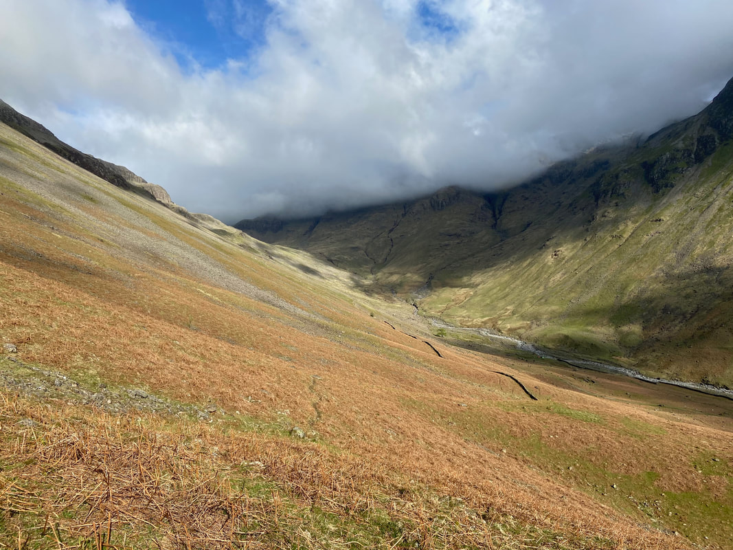
Looking to Sty Head from near the bottom of the descent
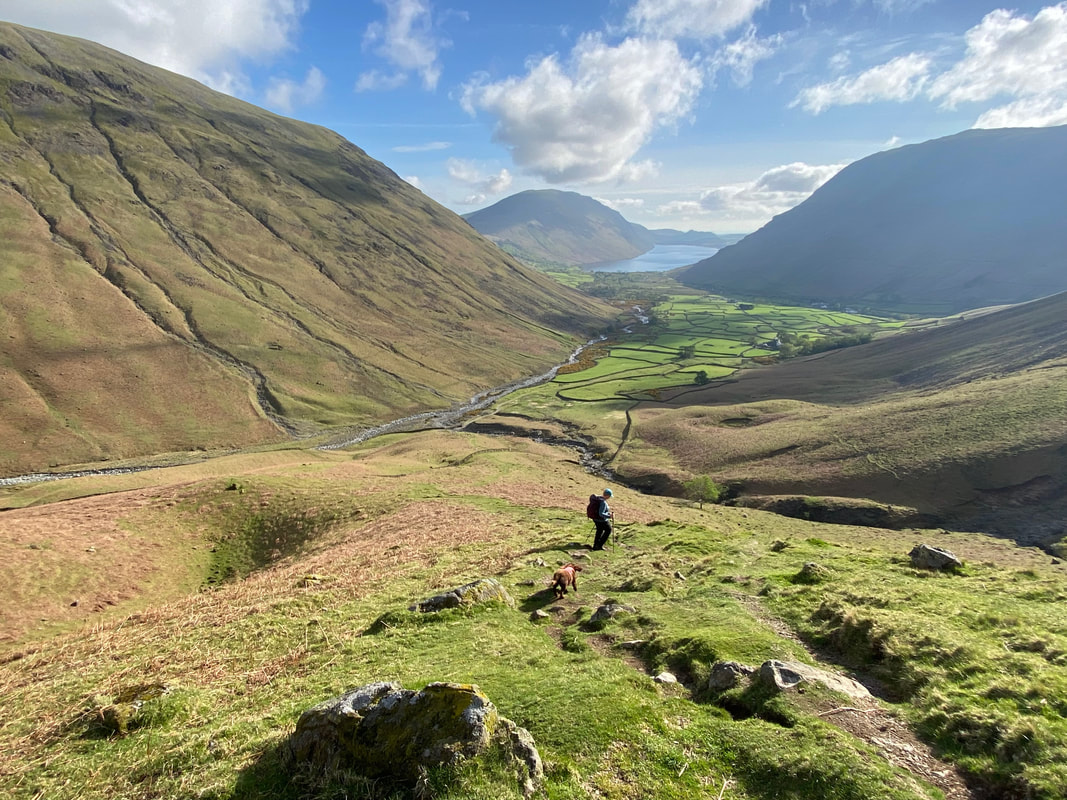
Would you credit it! The weather was just glorious now as we neared Burnthwaite Farm.
Lingmell to the left then Illgill Head a distant centre, Wastwater and Yewbarrow
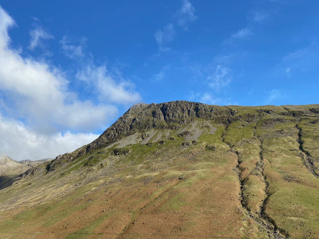
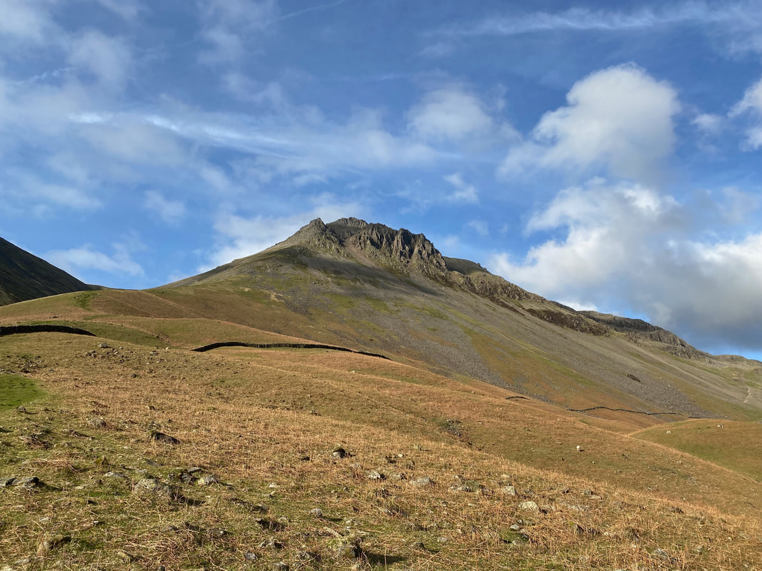
Kirk Fell, Ill Gill & Great Gable from the foot of our descent - a walker can just about be seen making his way down our path
Great End, Broad Crag & Lingmell
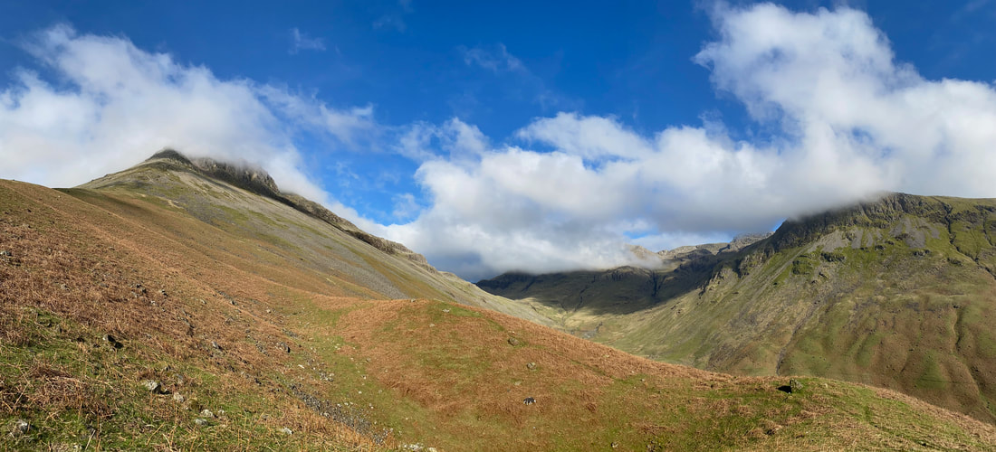
A panorama looking to Sty Head
Lingmell now clear of cloud
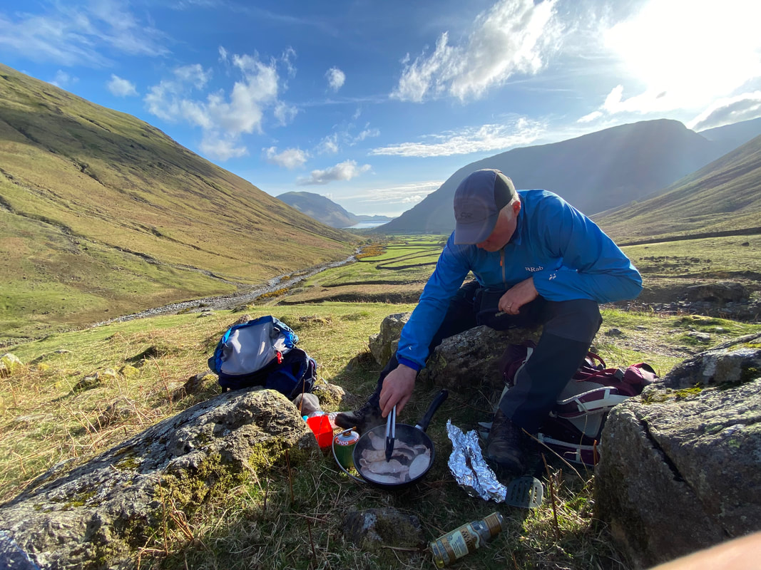
It was our intention to cook off some Bacon up at Beck Head but the weather was so lousy up there that we decided to open up Walshy's Kitchen once we arrived down in the valley - we were glad we waited.
A last look at Great Napes on Great Gable
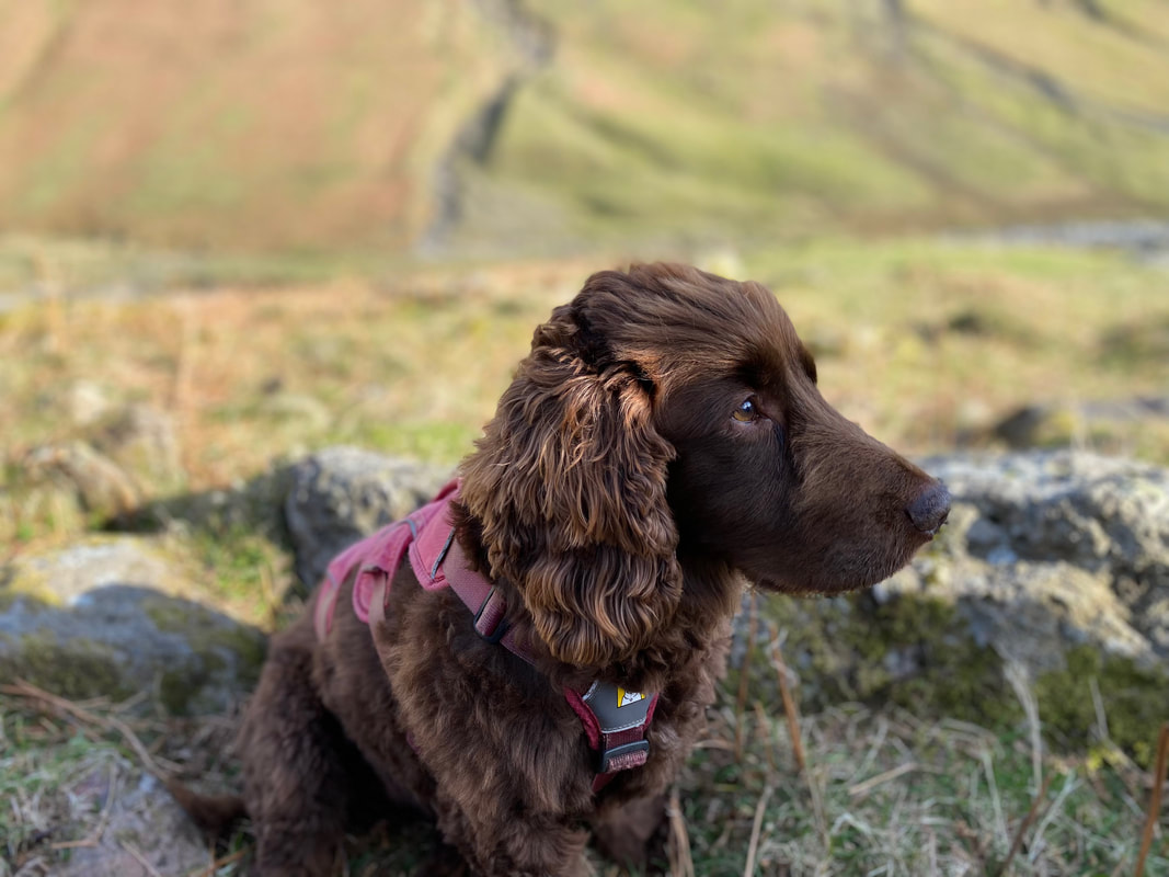
Fudge deep in thought as he contemplates getting absolutely no Bacon from us whatsoever. It's not that we are tight or anything - it just doesn't agree with him.
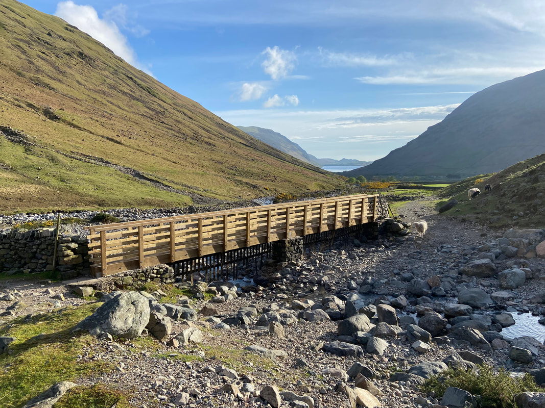
The spanking new footbridge over Gable Beck
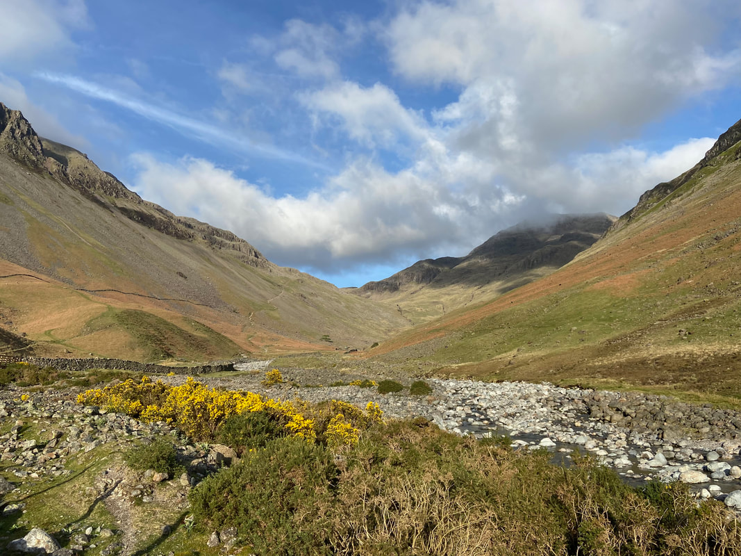
Sty Head from Gable Beck
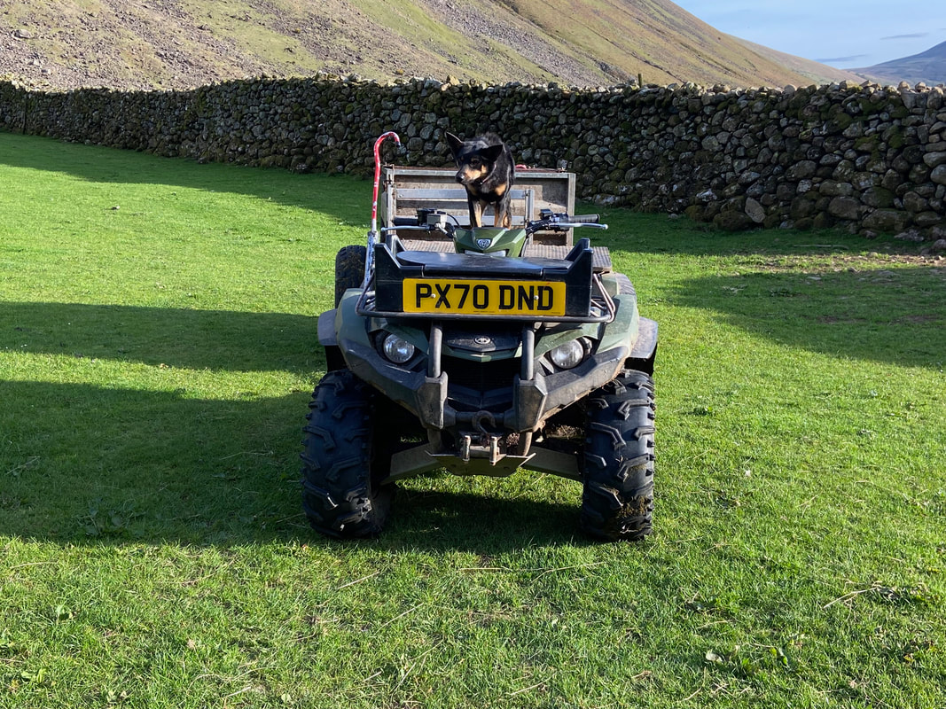
Nothing to see here - just a Kelpie on the drivers seat of a Quad Bike
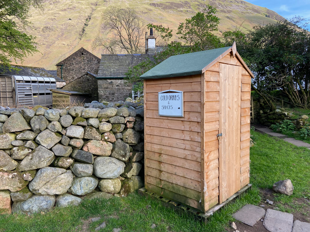
The honesty shed at Burnthwaite Farm - sadly no longer there as some people unfortunately abused the privilege
