High Street, Thornthwaite Crag, Gray Crag, Mardale Ill Bell & Harter Fell - Wednesday 30 September 2015
Route
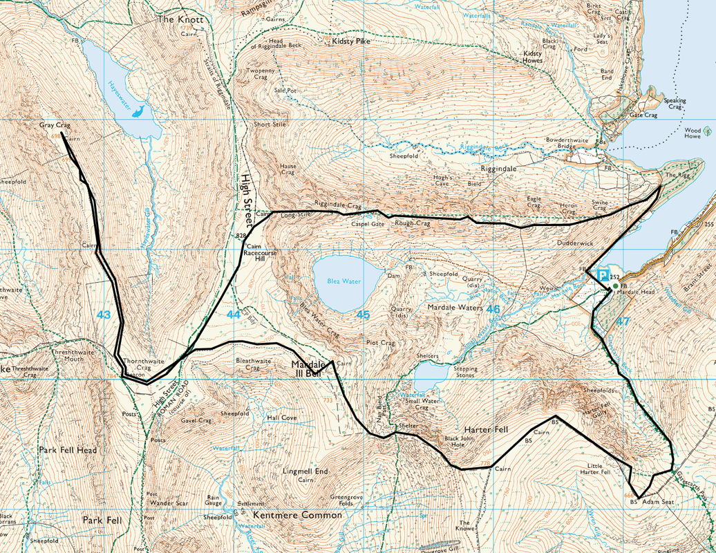
Mardale Head - The Rigg - Rough Crag - Long Stile - High Street - Thornthwaite Crag - Gray Crag - Thornthwaite Crag - Mardale Ill Bell - Nan Bield Pass - Harter Fell - Adam Seat - Gatesgarth Pass - Mardale Head
Parking
Southern end of Haweswater Reservoir at Mardale Head (Free) - Grid Ref NY469107
Mileage
12 miles
Terrain
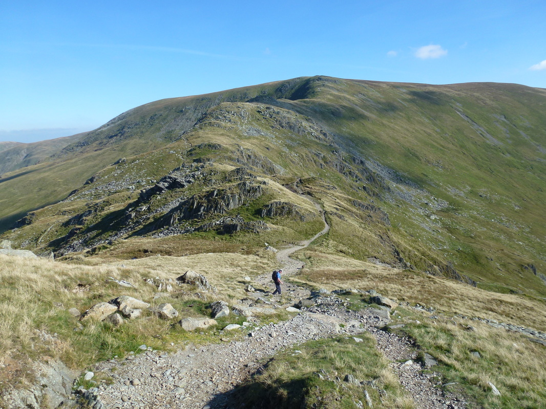
Good mountain paths throughout. There are several steep ups and downs on this route, notably the descent into and rise out of the Nan Bield Pass.
Weather
Warm & sunny with excellent visibility
Time Taken
7hrs 15mins
Total Ascent
3759ft (1145m)
Wainwrights
5
Map
OL5 - The English Lakes - North Eastern Area
|
GPX File
|
| ||
If the above GPX file fails to download or presents itself as an XML file once downloaded then please feel free to contact me and I will send you the GPX file via e-mail.
Walk Description
Whilst it may be man made, Haweswater Reservoir is still a picturesque part of the Lake District. The tiny and beautiful hamlet of Mardale Green used to be here but was submerged in 1935 when the water level of the Haweswater Lake was raised by Manchester Corporation in order to form the Reservoir. The villagers were obviously all moved out, as were the bodies buried in the Church which were all disinterred and moved to nearby Shap. Whilst the village buildings were all blown up by the Royal Engineers, the Church itself was dismantled stone by stone and used to build the water tower that is situated along the Eastern edge of the Reservoir.
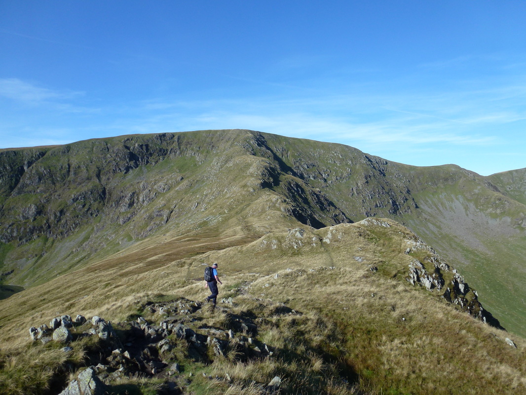
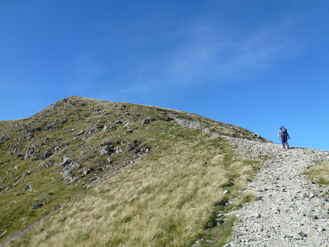
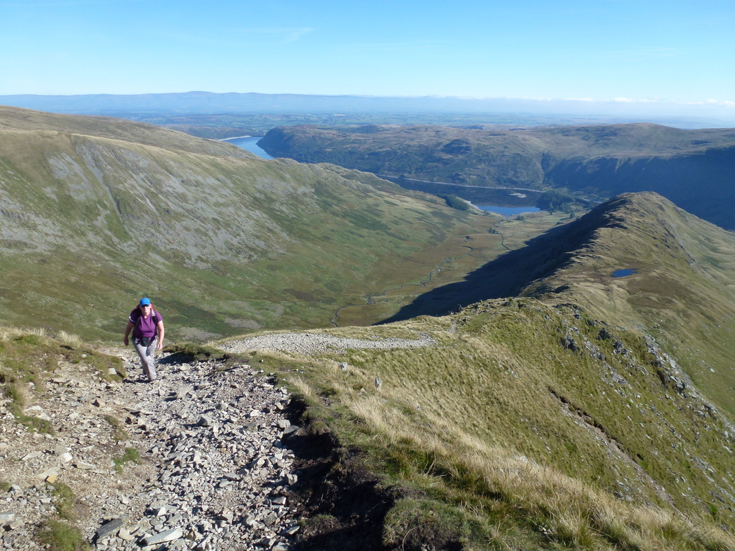
The start of the walk is from the Car Park at the very end of the access road at Mardale Head. Whilst this walk comes in at 12 miles it feels a lot longer but is one of our favourites and the views throughout the entire walk are exceptional. Leaving the Car Park we headed along the south western shoreline of Haweswater towards The Rigg and then doubled back on a rising path towards the three crags of Swine, Heron & Eagle from where the views over Haweswater really opened out. From Swine Crag there now began a superb ridge walk all the way to the summit of High Street, culminating in the steep transit of Long Stile.
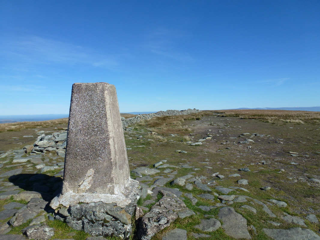
Reaching High Street's summit there were absolutely glorious views over Lakeland and on a day like today they were even better. There was nobody here on the summit apart from one chap who passed over the top as we were approaching - he only spared us a few words and they were "Great this innit?" - summed it up perfectly. High Street is named after the Roman Road that passed over the fell on its journey between the 2 Roman Forts at Brougham near Penrith & Ambleside. The summit is also known as Racecourse Hill and is so named on the OS Map as in years gone by the flat plateau was used for Horse Racing.
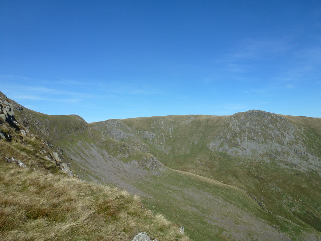
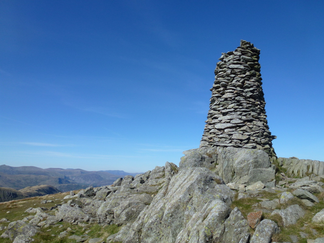
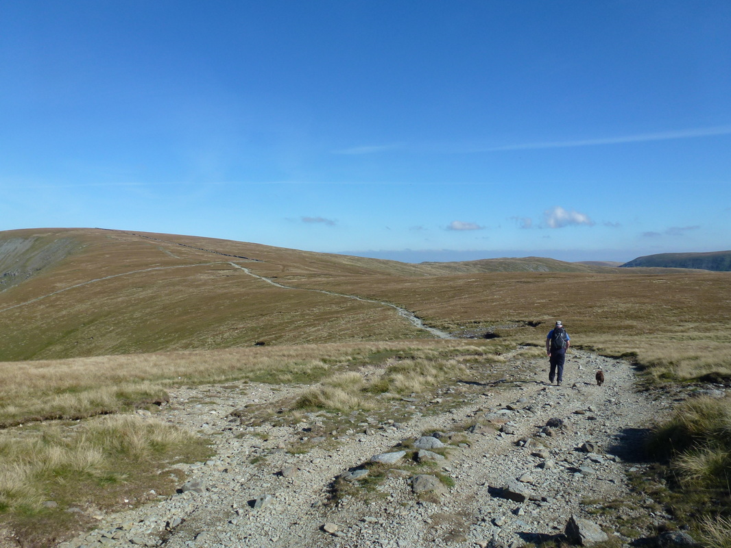
Leaving High Street we headed south west on a long sweeping path towards the large beacon on Thornthwaite Crag. There were a few people around the summit therefore we carried on past and headed out the mile or so to bag Gray Crag. At the summit there are superb views down to Patterdale and over to the High Street range above Hayeswater Reservoir. Arriving back at Thornthwaite the summit was deserted therefore we were able to enjoy the views in solitude before heading back towards High Street, leaving the path after 1/3 of a mile to walk over to Mardale Ill Bell.
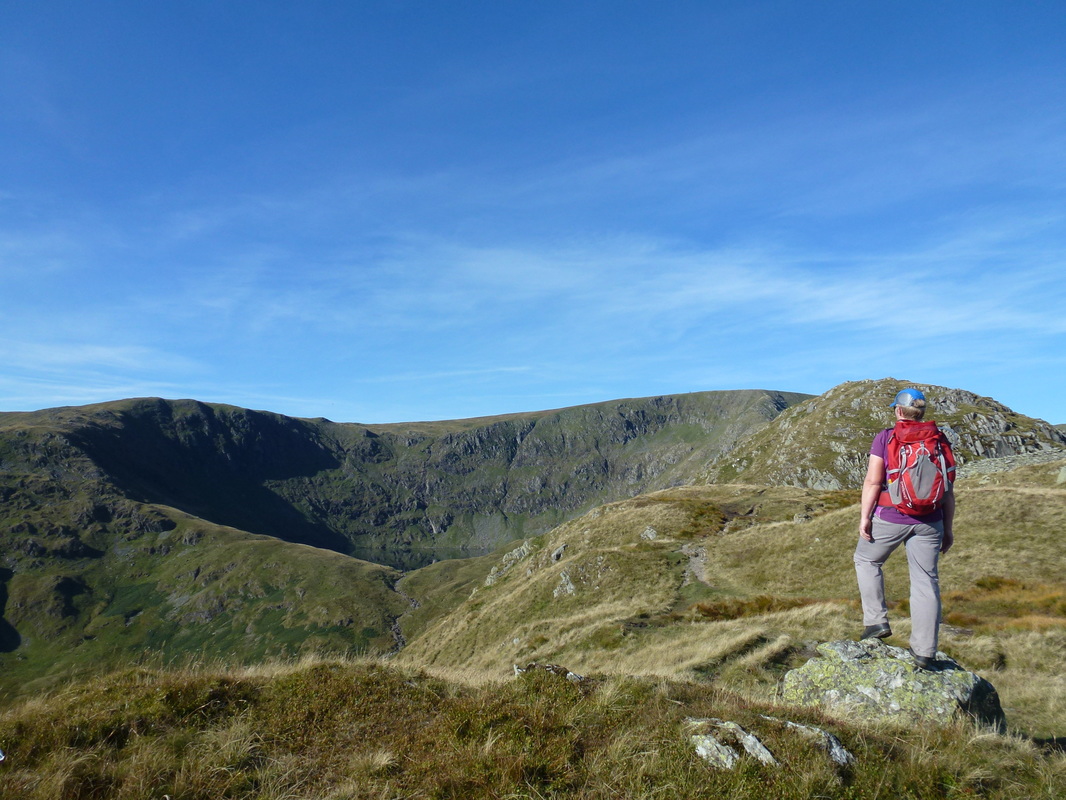
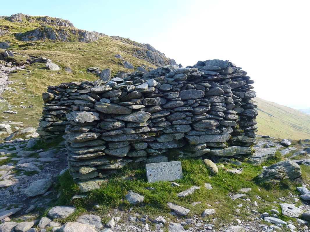
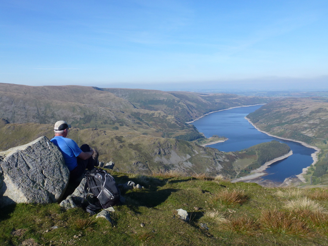
From Mardale Ill Bell we descended quite steeply on a stony path to the top of the Nan Bield Pass where there is a large shelter. From here there now began a short but steep ascent up on to the summit of Harter Fell. From the summit we headed north east via another cairn to reach the fence corner where there is a fantastic view down the length of Haweswater. It was here we re-enacted the self penned drawing of Wainwright which features in The Far Eastern Fells guidebook on Harter Fell 10.
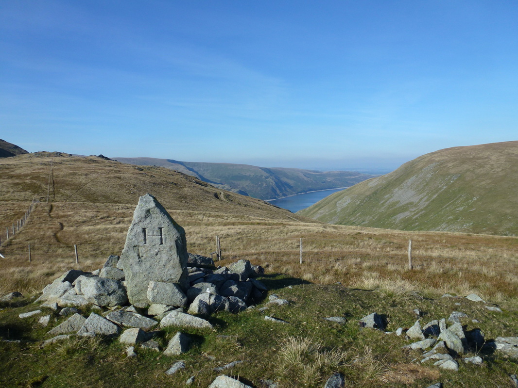
We hung around at the fence corner for a while as there was nobody else here therefore we could again enjoy the superb view down Haweswater in complete solitude. Leaving this spot, most people would head straight down to the Gatesgarth Pass however we diverted the route slightly to take in the Birkett of Adam Seat - a delightful little summit marked with a boundary stone. From Adam Seat, it was a simple case of rejoining the path coming down from Harter Fell to join up with the Gatesgarth Pass which drops gently, zig zagging all the way back to Mardale Head.
Despite this being a beautiful day, apart from a few walkers on Thornthwaite Crag we saw few people. It is a walk to save for a day when the visibility can be taken advantage of in order to appreciate the many vistas and panoramas of Lakeland. There are plenty of them on this circuit.
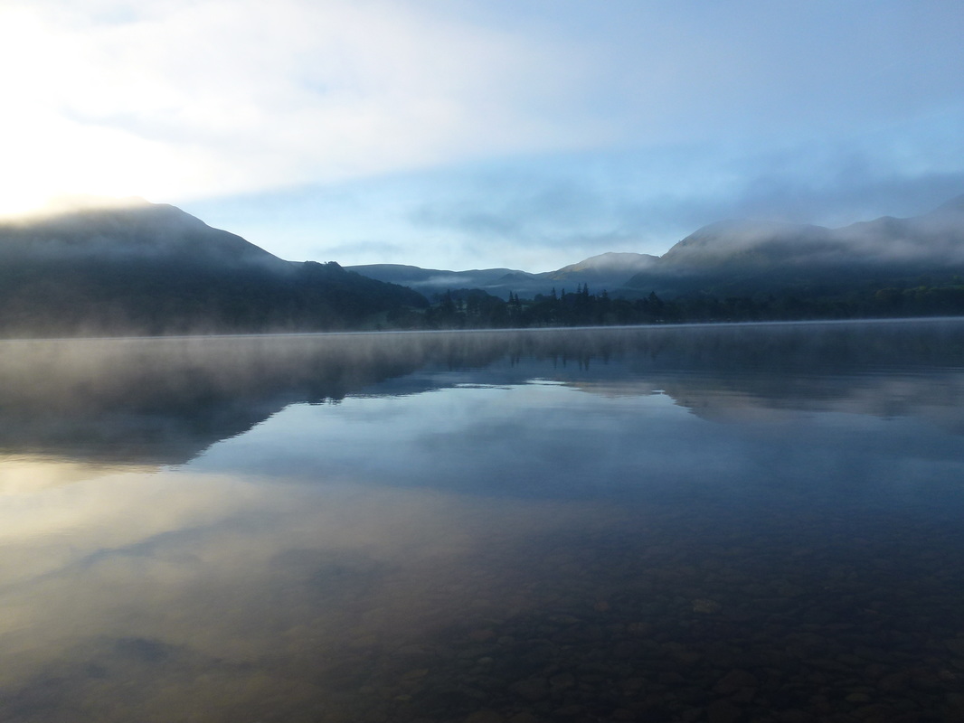
A steamy Ullswater on our drive over to Mardale
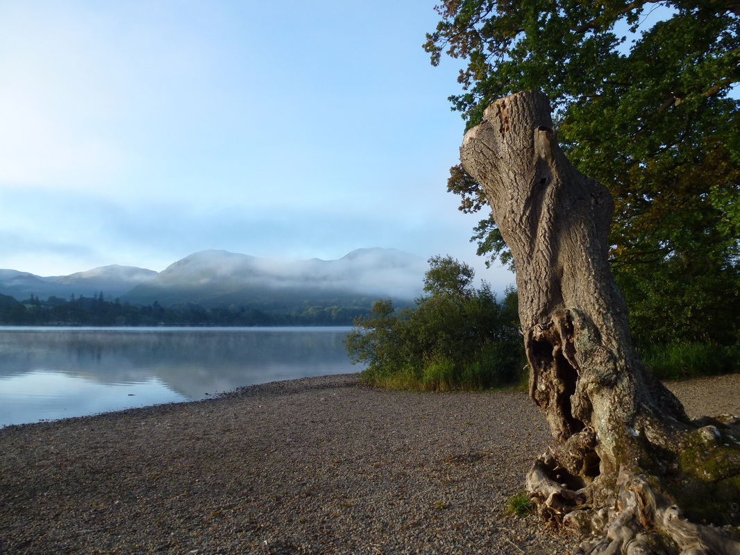
This is a beautiful spot on Ullswater
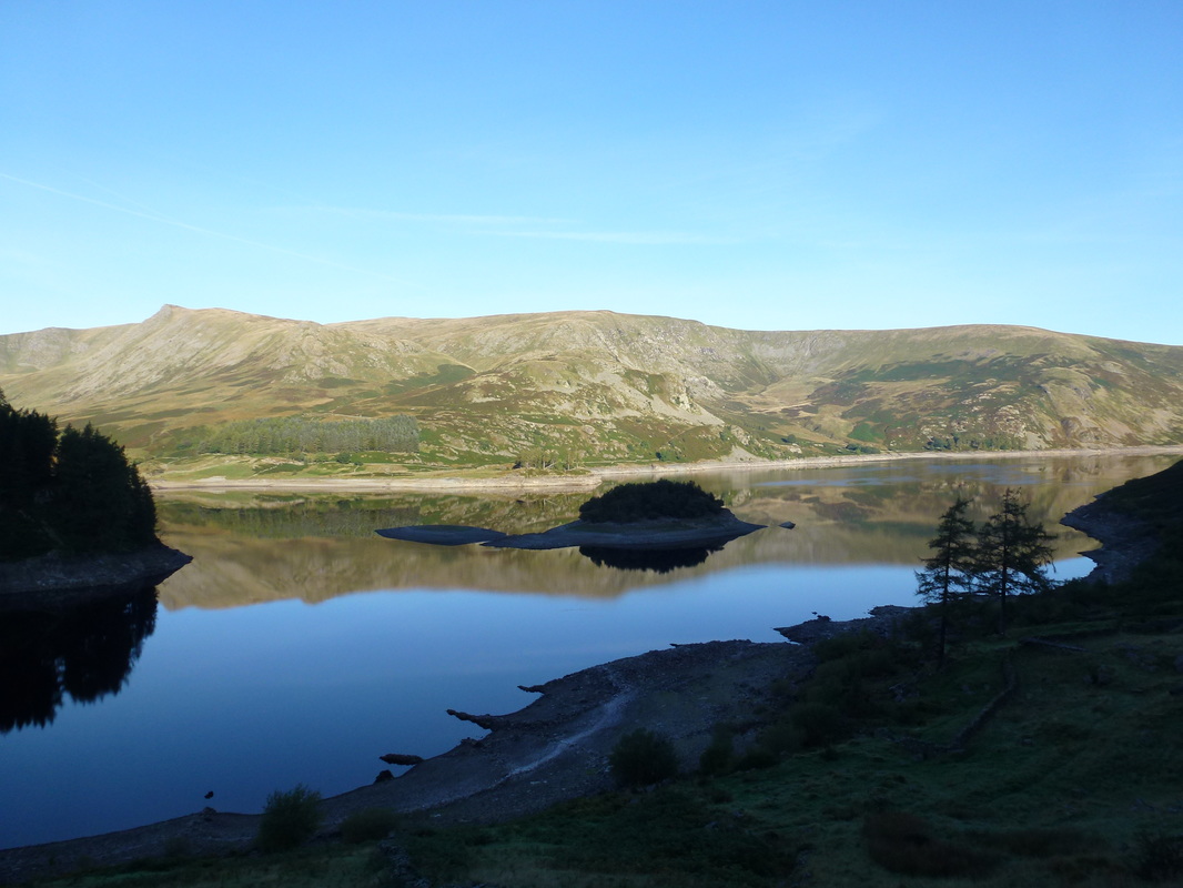
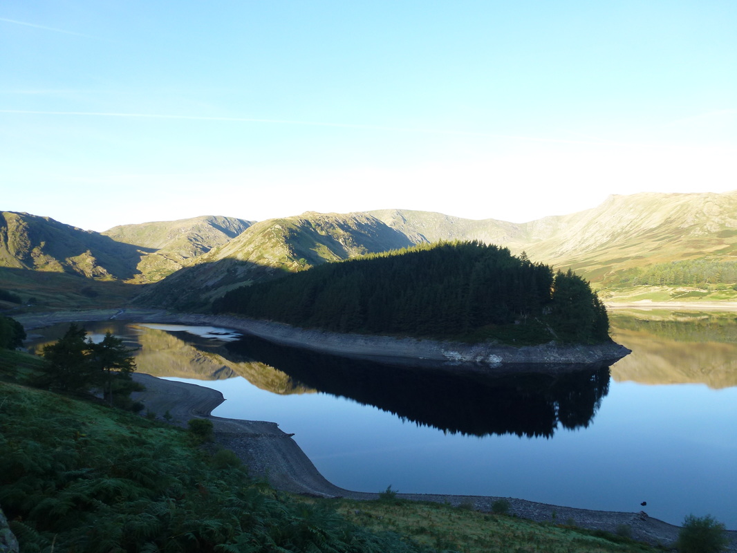
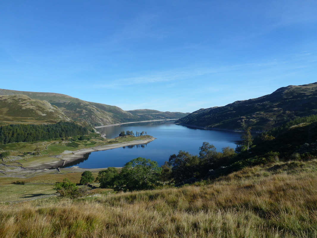
On the approach road to the Car Park we just had to stop and admire the views over towards the High Street range - Kidsty Pike is to the left. Wood Howe is the island in the centre
The Rigg
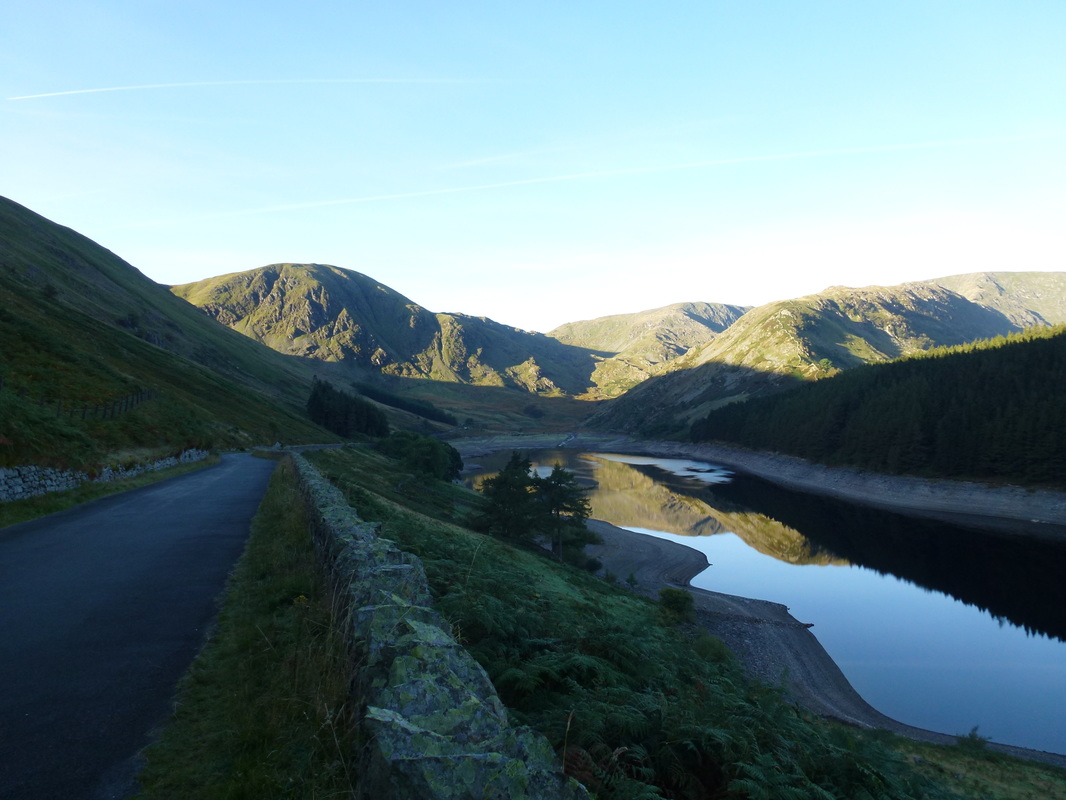
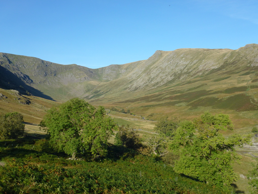
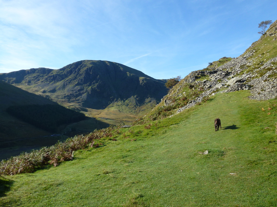
Harter Fell left with Mardale Ill Bell right of centre. To the right of shot is our route up onto High Street
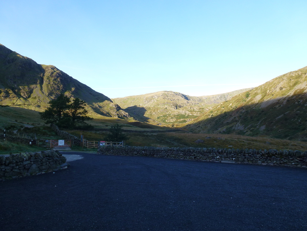
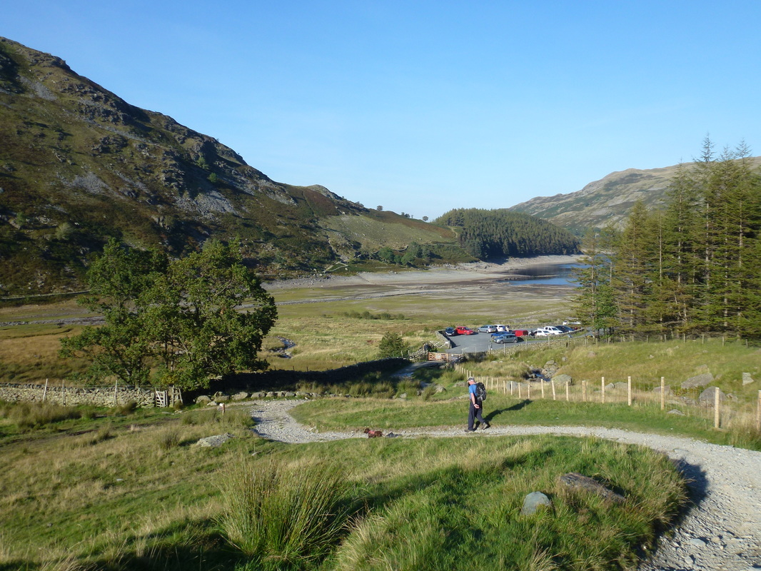
The Car Park at Mardale Head - no one here
Heading for The Rigg with Harter Fell behind
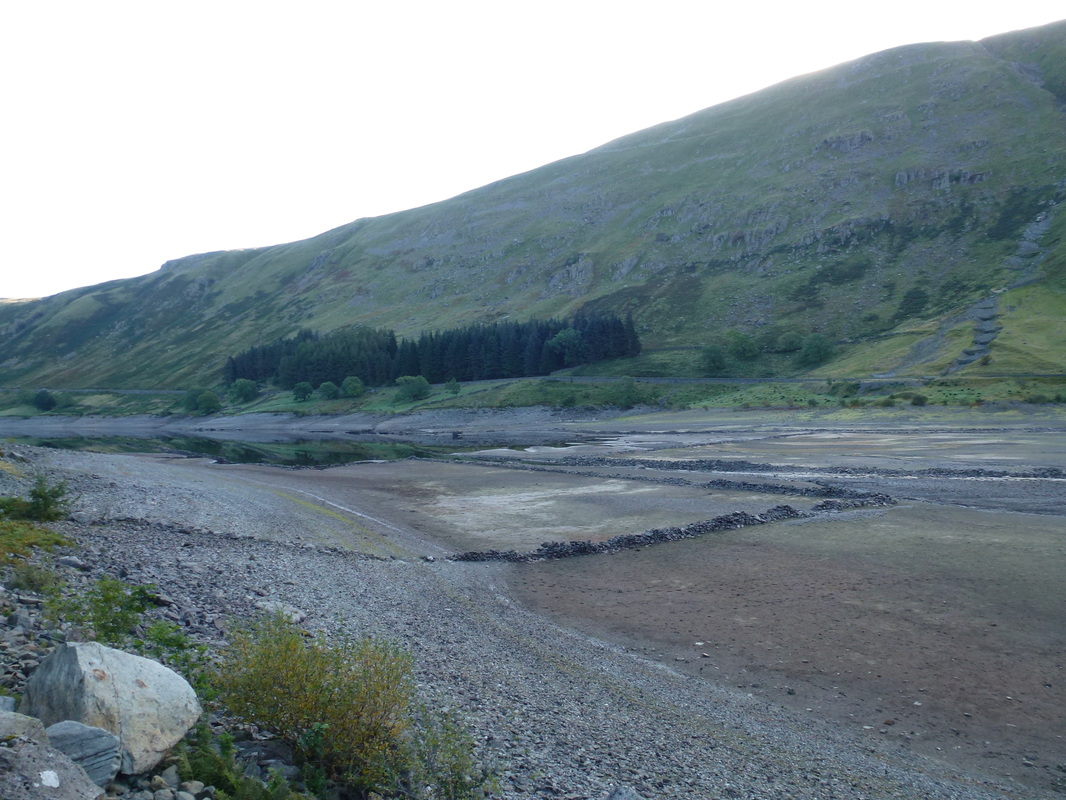
We have never seen the water in Haweswater so low - the old village walls of Mardale can clearly be seen.
It is believed that the landslide blocking the access road to the Car Park is to the right of the picture
It is believed that the landslide blocking the access road to the Car Park is to the right of the picture
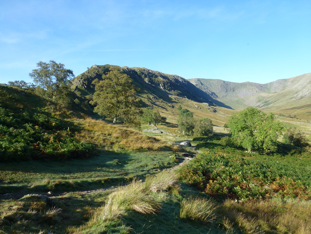
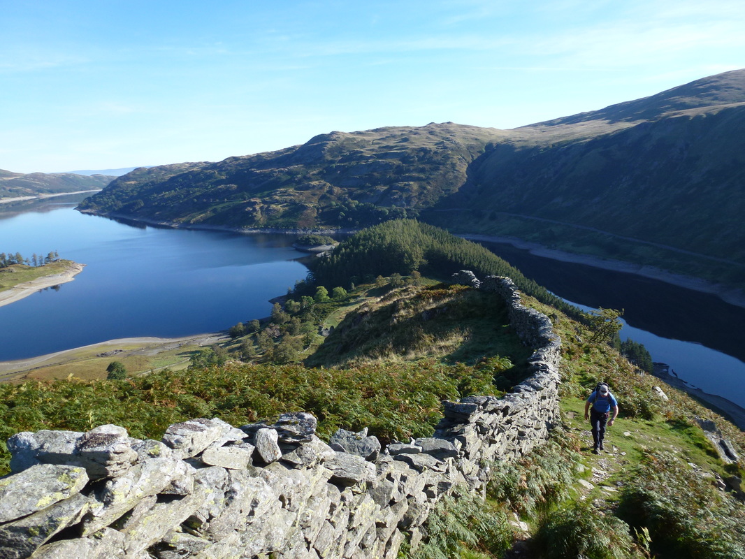
Our path from The Rigg up onto Swine Crag - the path is to the left between the two trees
Great views today - looking to the Straits of Riggindale on High Street with the prominent summit of Kidsty Pike to the right
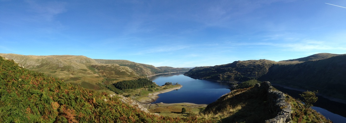
A High Street and Haweswater panoramic
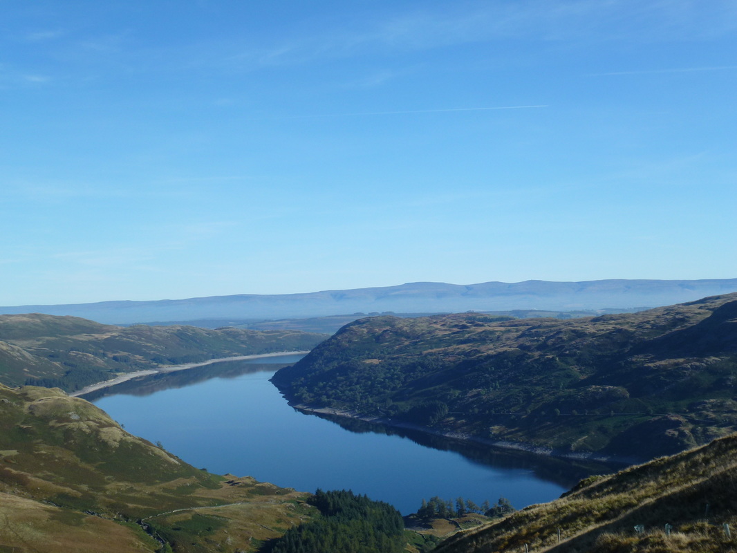
Looking down Haweswater - the promontory jutting out is Speaking Crag
Our route was just about to get steeper as the path heads through the rocks ahead. Harter Fell takes on a different colour than earlier
Time to climb as we head to Swine Crag and Heron Crag
Looking down Haweswater panoramic
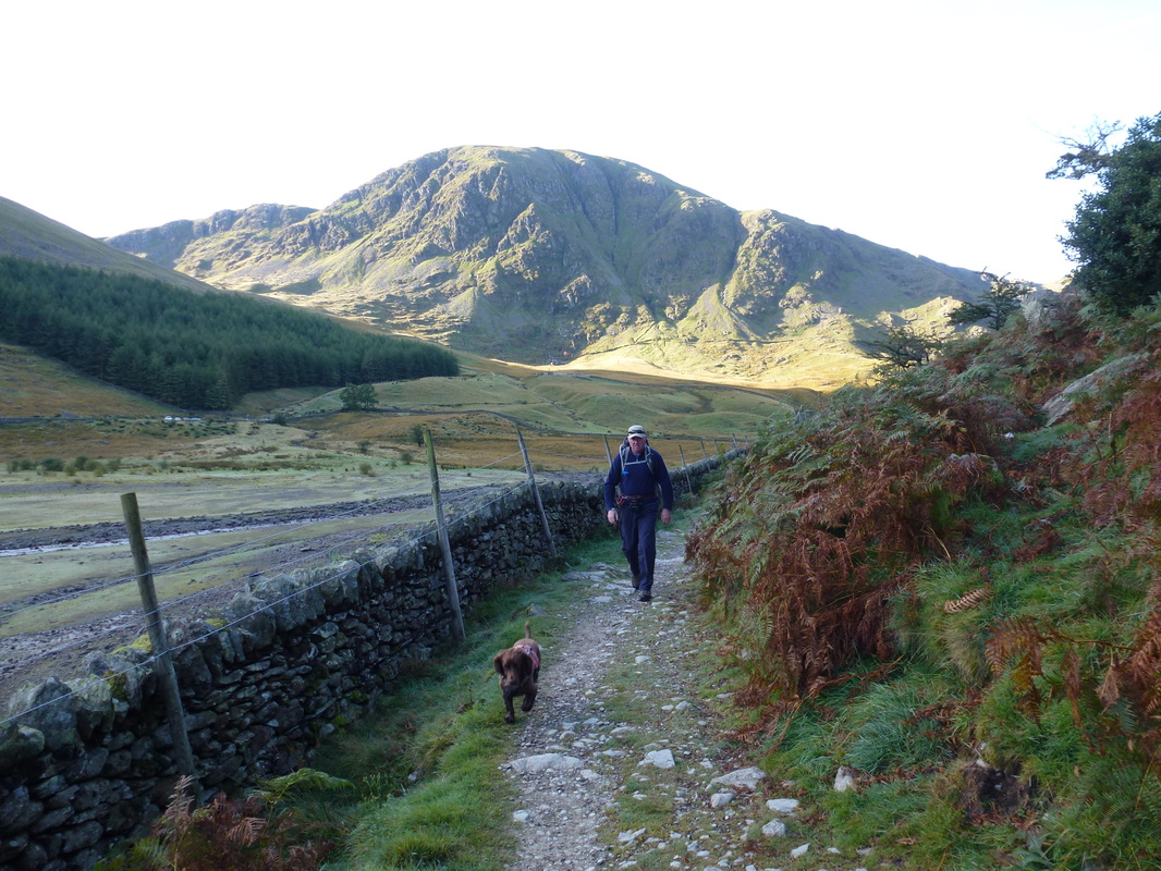
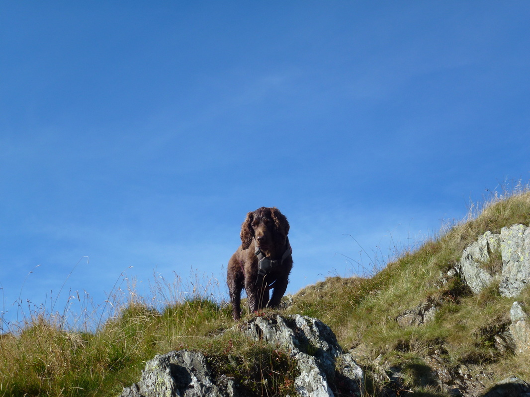
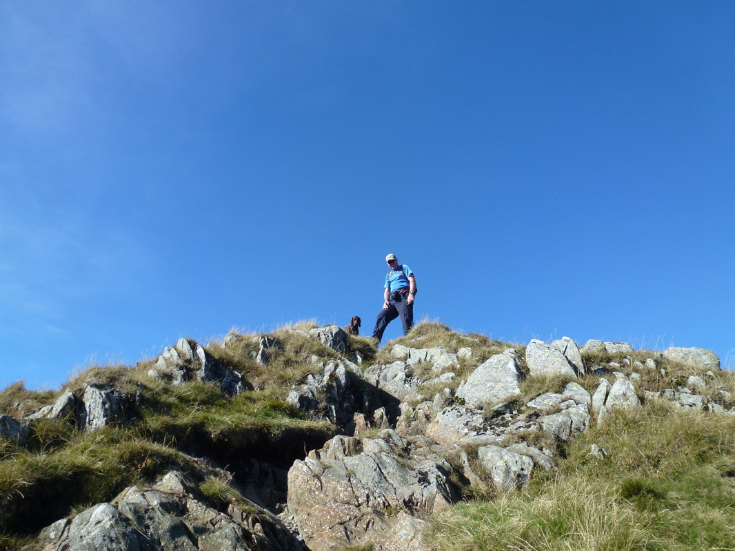
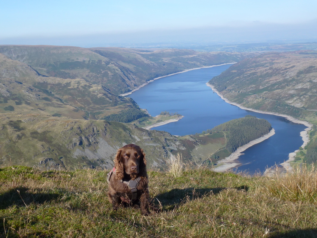
He gets fed up at our lack of pace and frequent stops for photography
The Nan Bield Pass
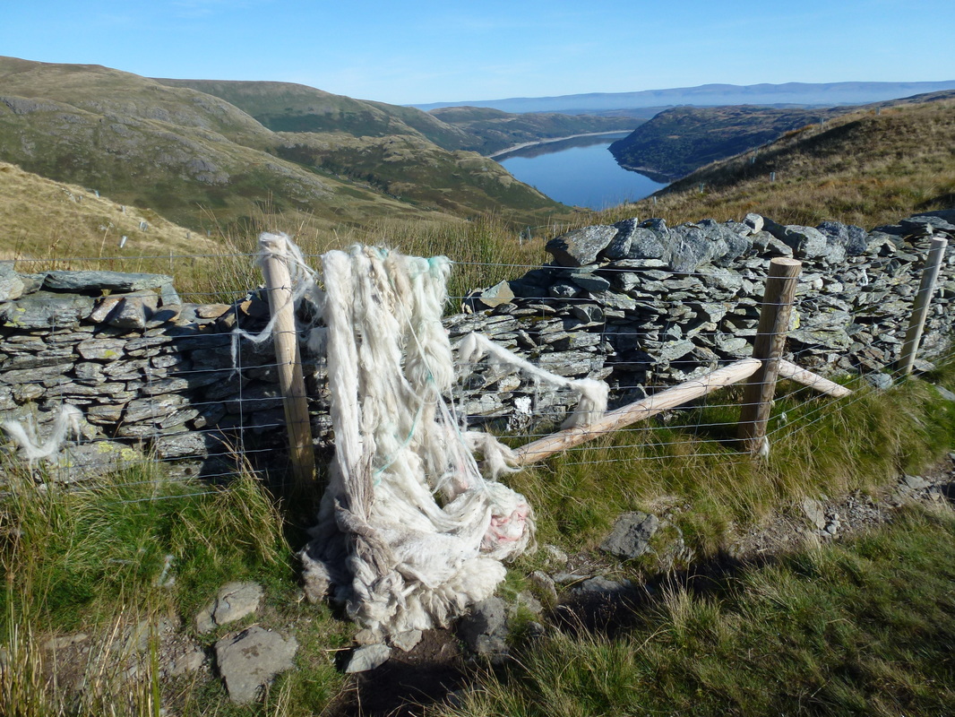
Someone has been giving themselves a haircut
Haweswater bends around towards the dam wall
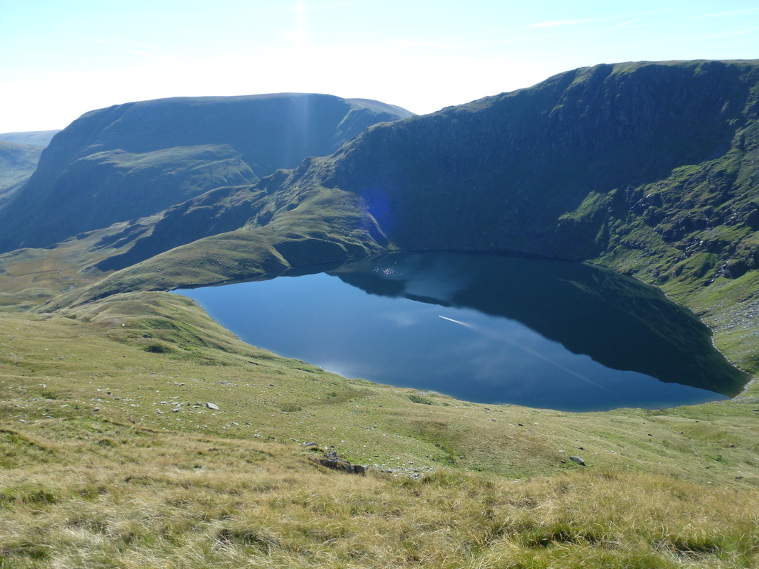
Blea Water peeping out below High Street
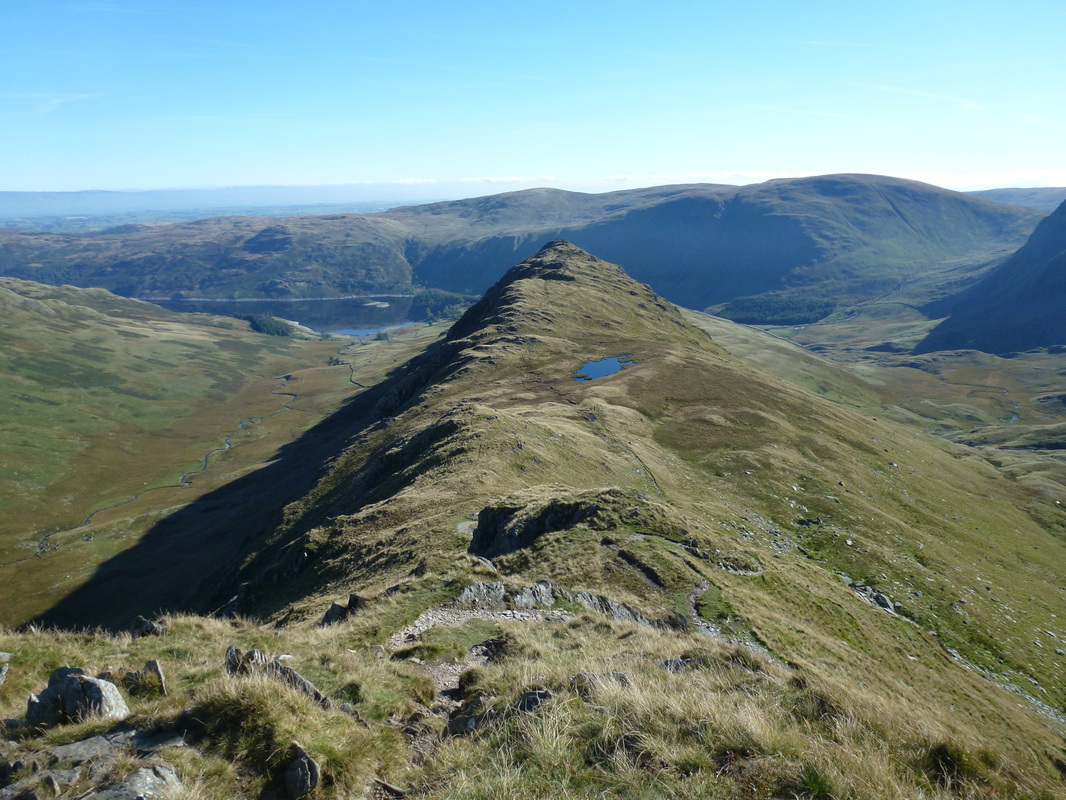
The summit of Rough Crag
Heading for Long Stile & Caspel Gate
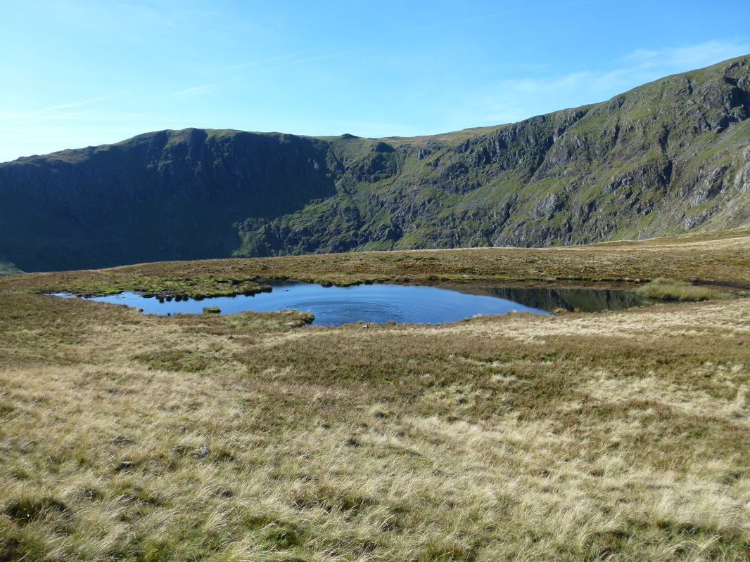
The tarn at Caspel Gate
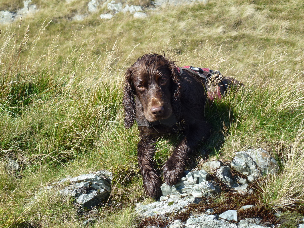
As you can see, Fudge had to test out the water in Caspel Gate Tarn
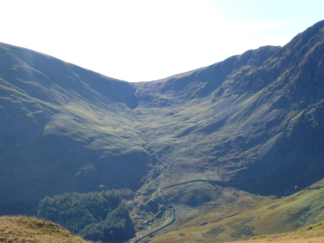
The head of Riggindale Beck sits beneath the crags of Short Stile, Twopenny Crag and Kidsty Pike
A better view of Blea Water
The top of Long Stile
Looking back along Long Stile to Caspel Gate & Rough Crag
The climbing relents to a gentle incline on approaching the top of the ridge
Long Stile and Haweswater
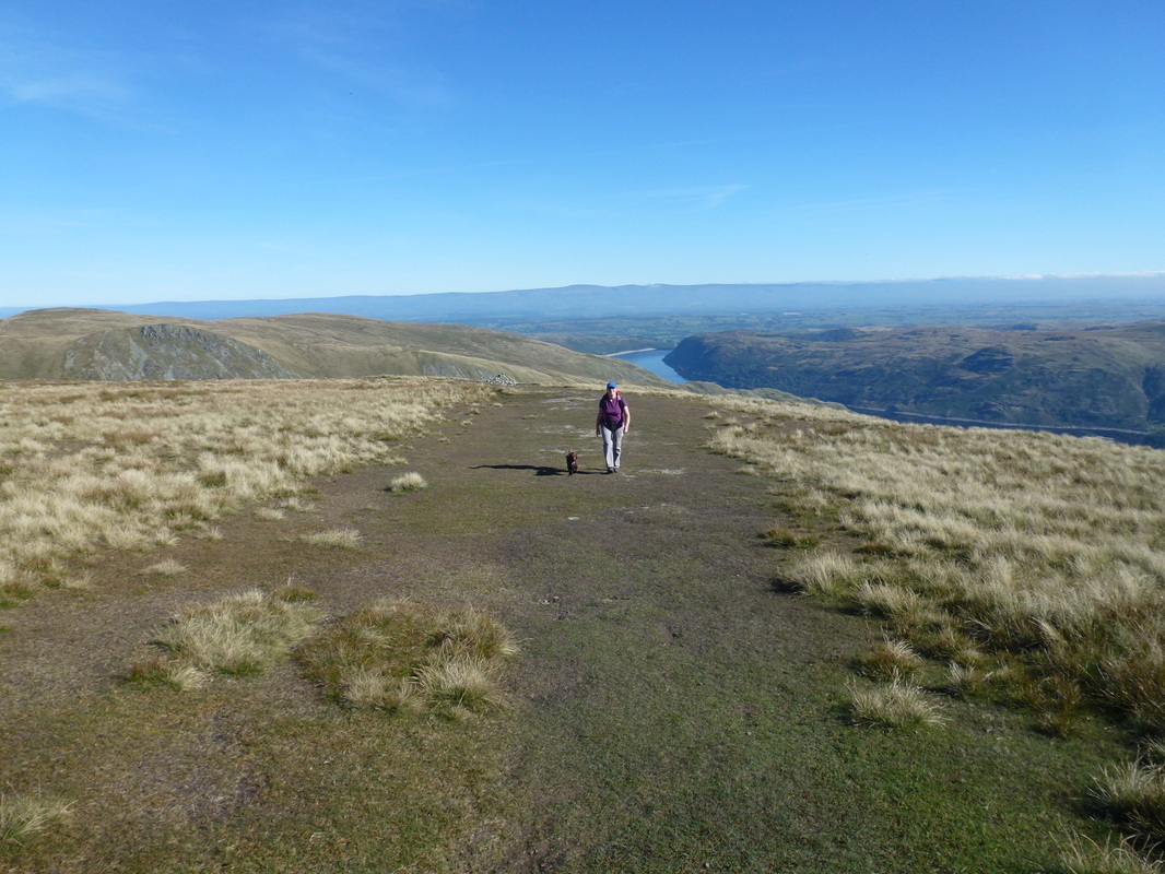
Back on the grassy stuff as we approach High Street's summit
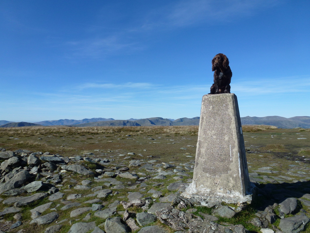
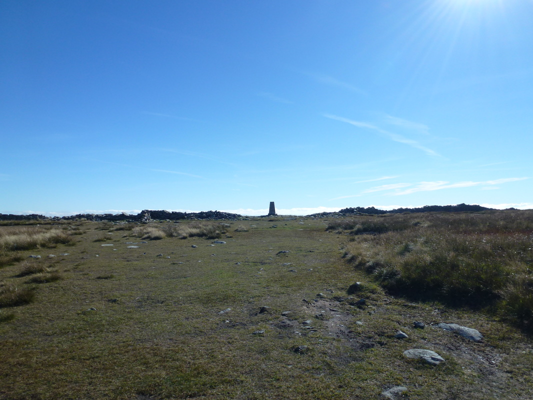
The summit of High Street
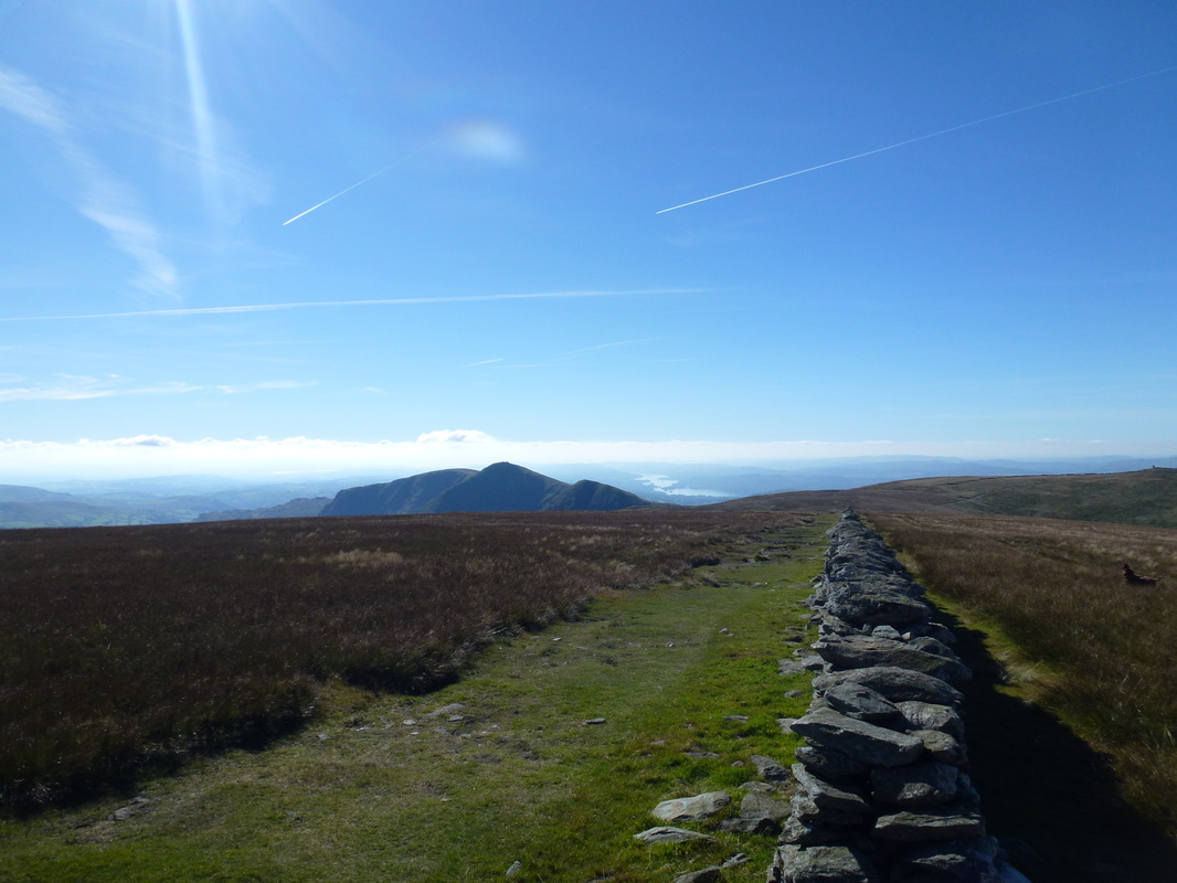
Looking down the wall to the north on High Street
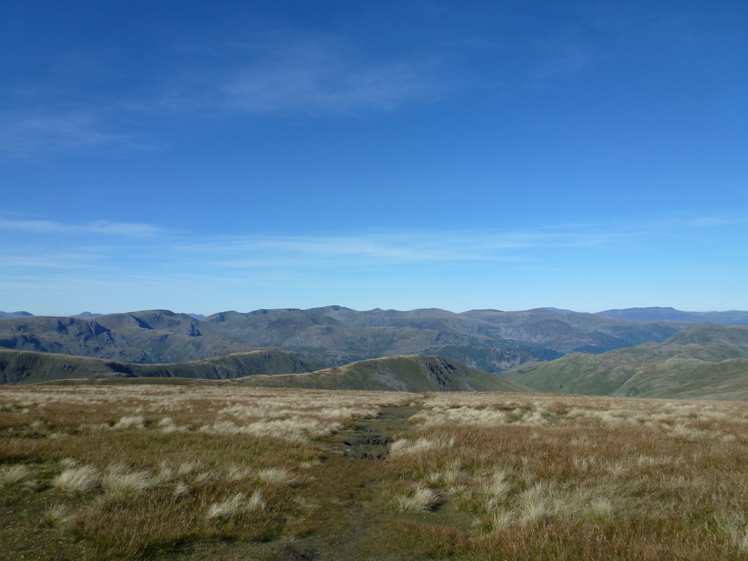
A superb Lakeland panorama to the west from the summit of High Street
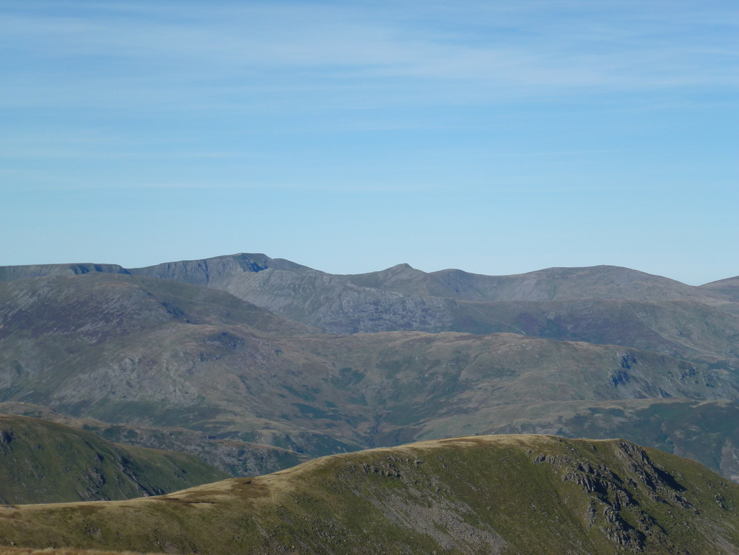
Zooming in on Helvellyn, Striding Edge, Catstycam, White Side & Raise
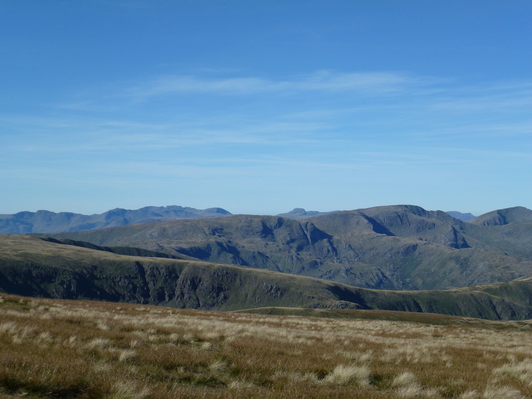
Looking to The Scafells, Great Gable & Fairfield amongst others
The summit of High Street
A High Street panoramic - if you look closely Fudge seems to have quadrupled himself
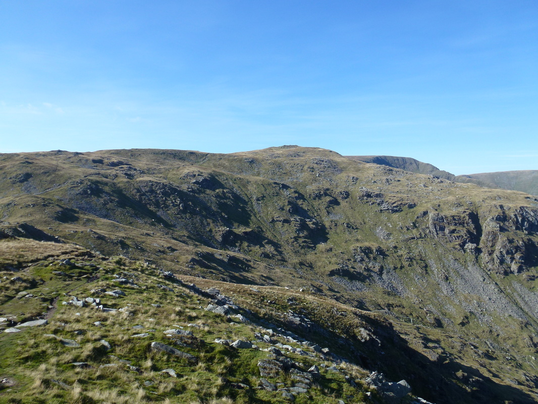
Our route to Thornthwaite Crag with the Ill Bell Ridge ahead
Gray Crag, Hayeswater and The Knott
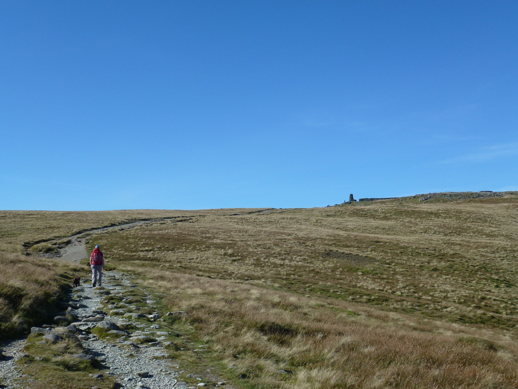
The beacon on Thornthwaite Crag in sight
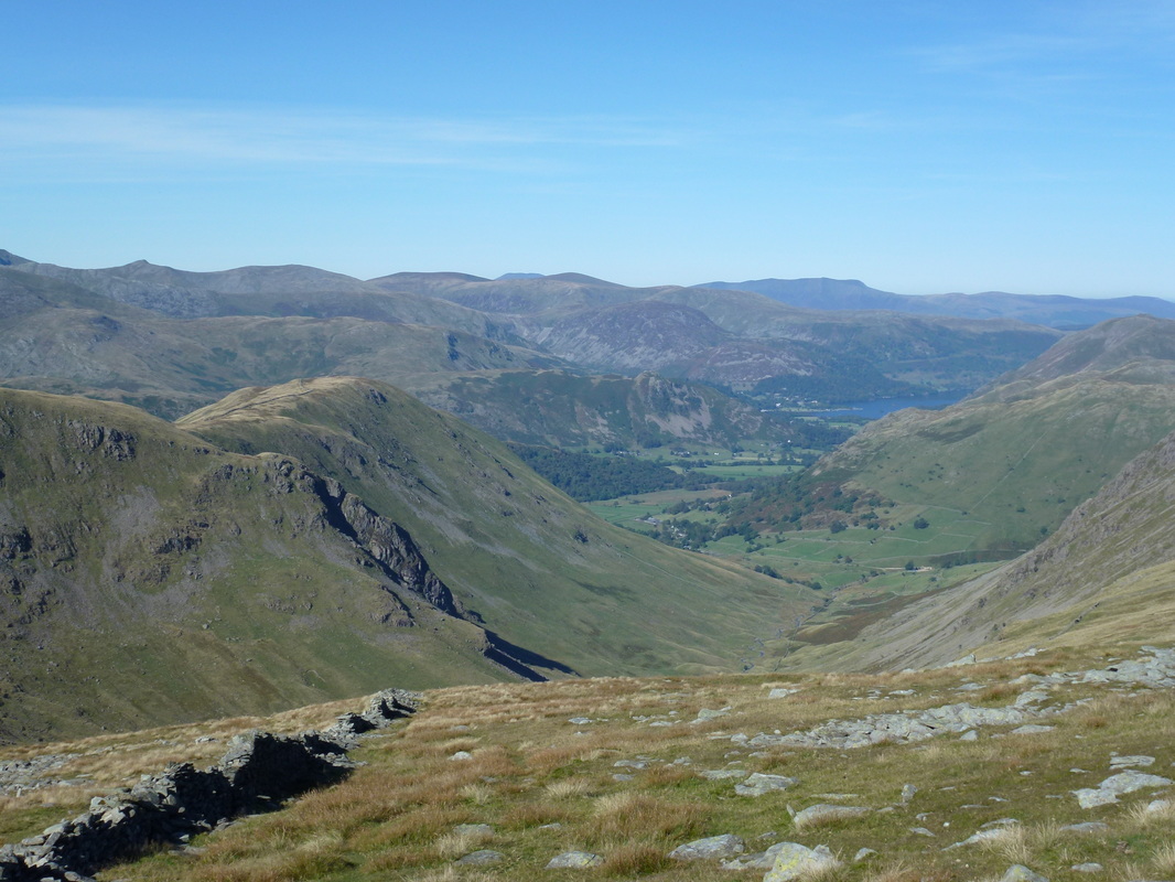
Looking down Pasture Bottom to Hartsop and Patterdale.
Catstycam, The Dodds, Skiddaw & Blencathra are in the distance
Catstycam, The Dodds, Skiddaw & Blencathra are in the distance
Looking across Thresthwaite Mouth to Red Screes & Caudale Moor
A Thornthwaite Crag panoramic
The summit of Gray Crag
The Knott above Hayeswater
Back at Thornthwaite Crag
Heading back to High Street from Thornthwaite Crag - our route over to Mardale Ill Bell would veer off to the right at the wall
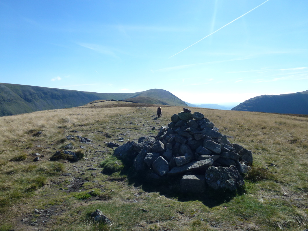
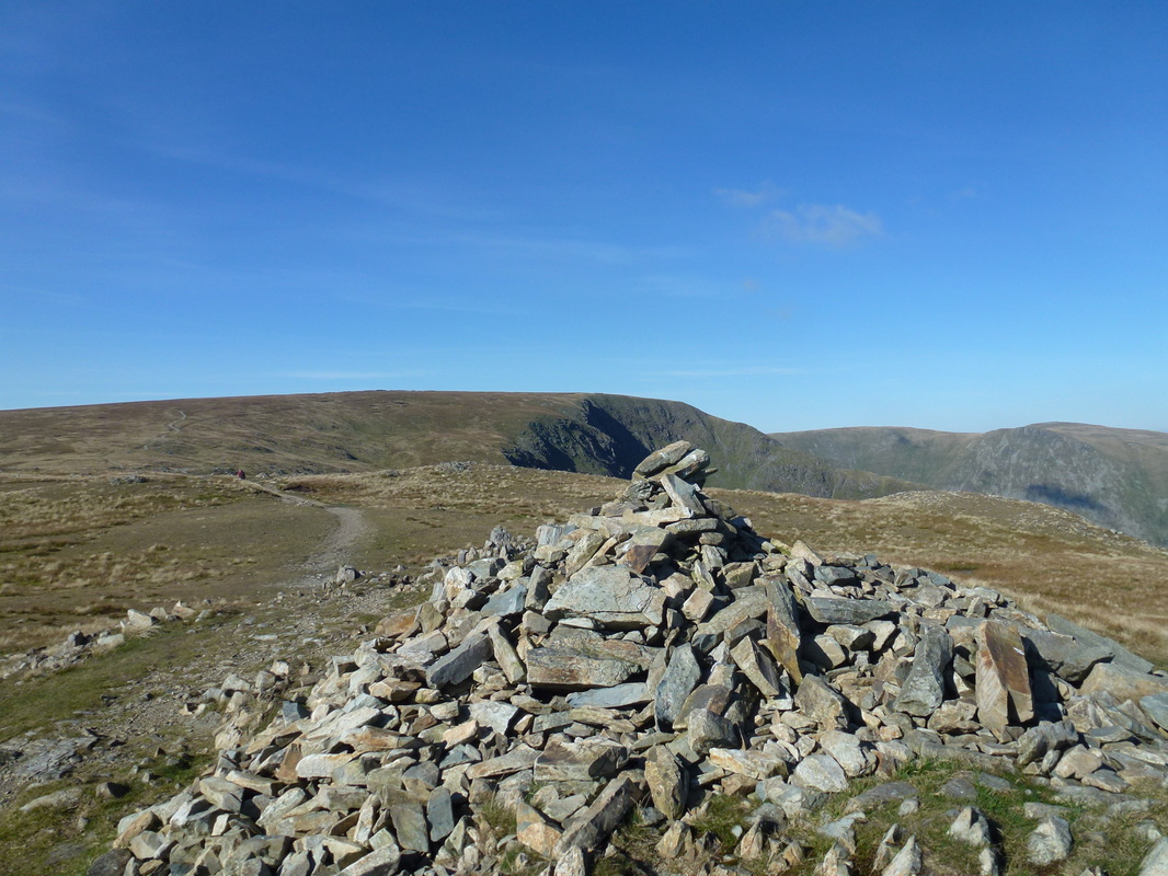
The summit of Mardale Ill Bell looking to High Street
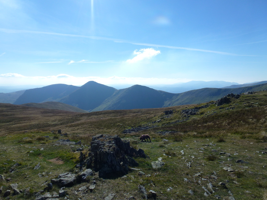
Three in a row - Yoke, Ill Bell & Froswick
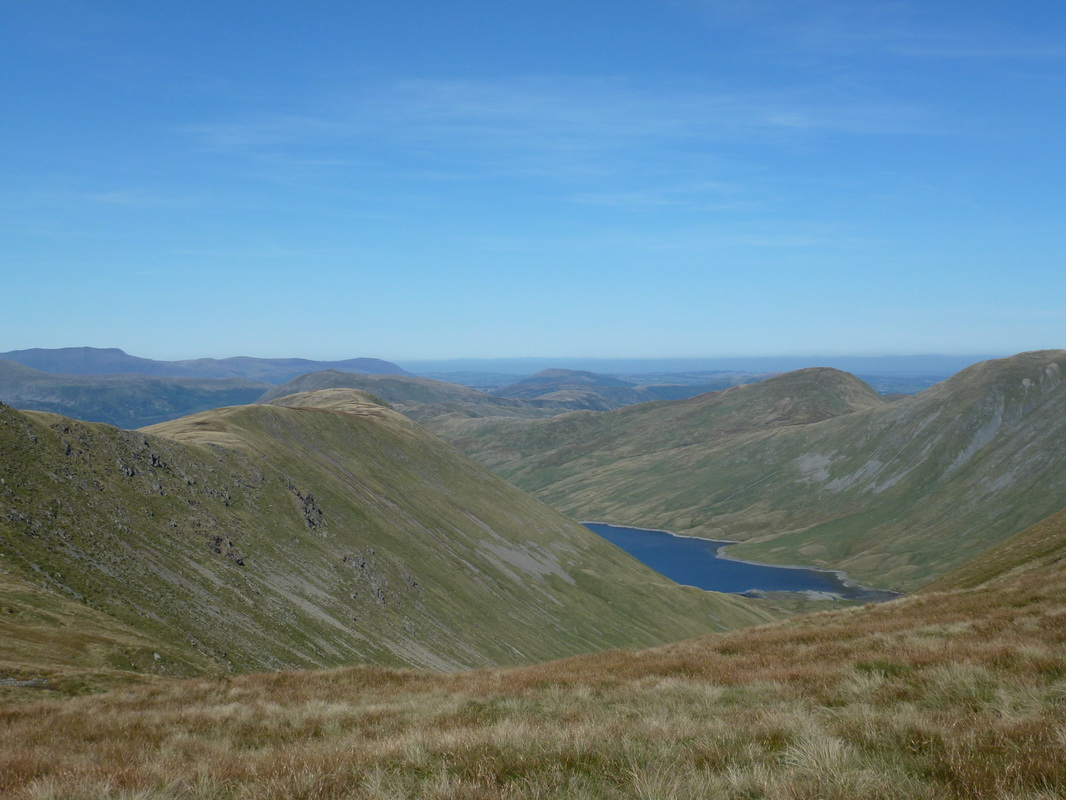
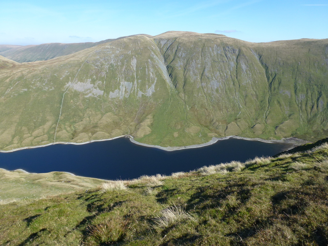
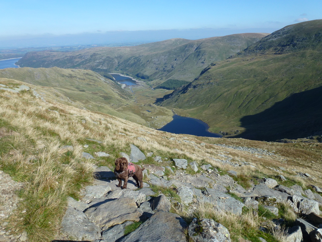
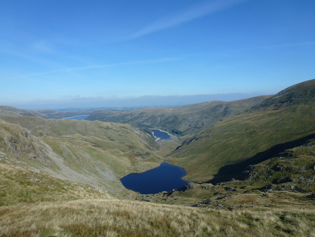
Small Water & Haweswater from Mardale Ill Bell
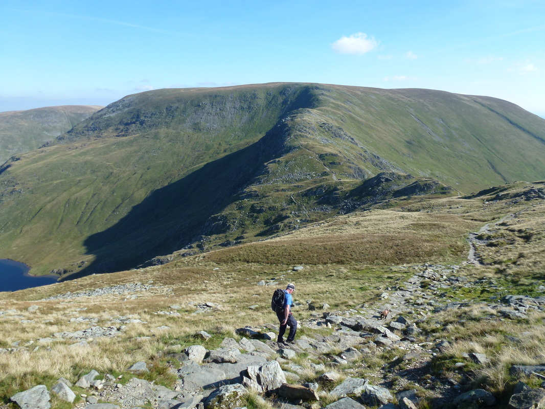
Dropping down to the Nan Bield Pass with the rise to Harter Fell ahead
Another view of Small Water & Haweswater
Another view of the climb up to Harter Fell as we approach the top of the Nan Bield Pass
The top of the Nan Bield Pass
The huge shelter at the Nan Bield Pass complete with helpful sign
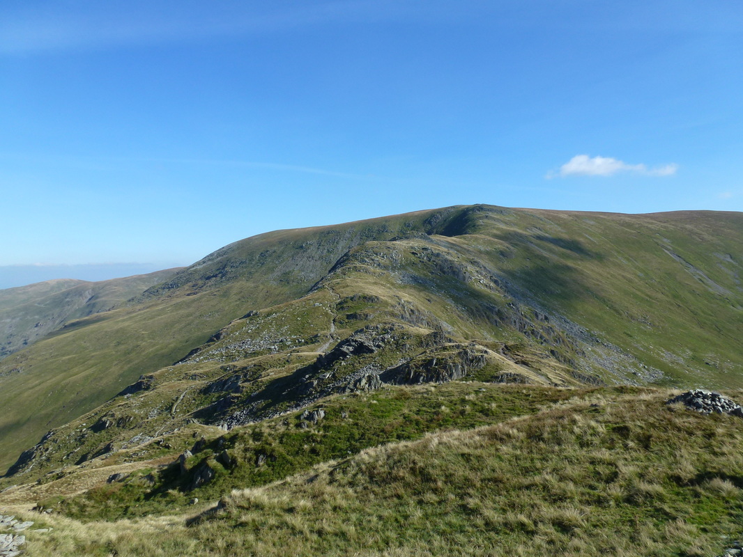
Our route to Harter Fell from Mardale Ill Bell
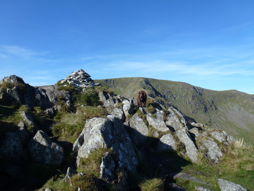
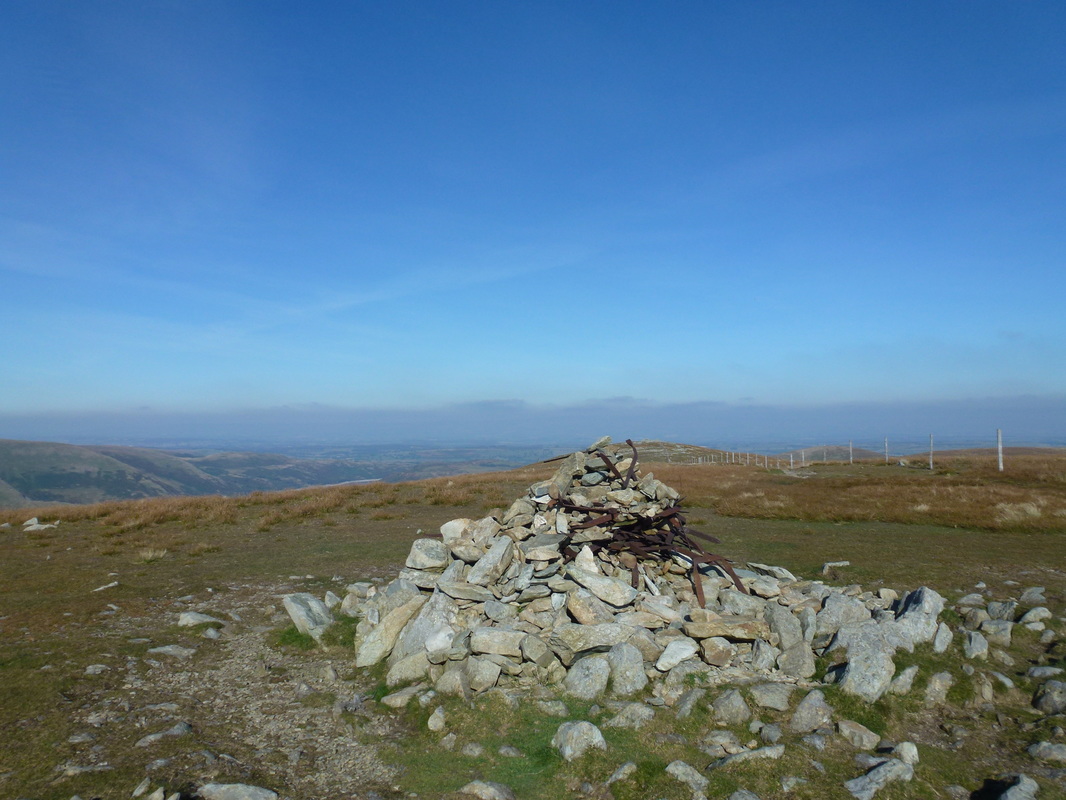
The summit of Harter Fell
A Harter Fell panoramic
Harter Fell 10 (followers of Wainwright will know!)
What else would we rather be doing today eh Fudge?
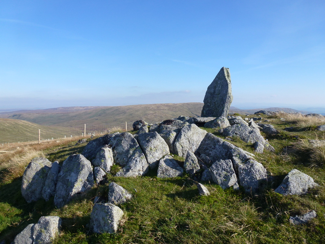
The boundary stone on the summit of Adam Seat - L for The Lowther Estate...................
....... and H for Harrison.
At the bottom of the Gatesgarth Pass and journey's end
