Nethermost Pike & Helvellyn - Tuesday 29 December 2020
Route
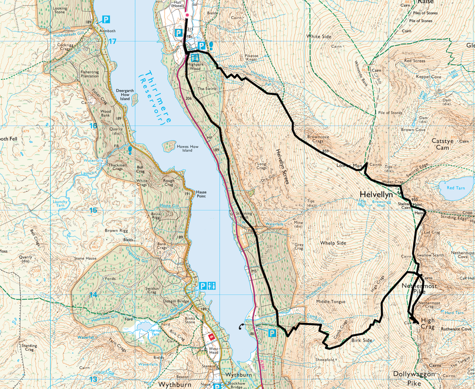
A591 - Swirls - Highpark Wood - Wythburn - Birk Side - Nethermost Pike - High Crag - Nethermost Pike - Helvellyn - Lower Man - Browncove Crags - Swirls - A591
Parking
Lay-by on the A591 400 yards north of Swirls Car Park - Grid Reference NY3161 1733. The nearest postcode is CA12 4TN.
Mileage
9 miles
Terrain
Icy paths and deep snow on the ground.
Weather
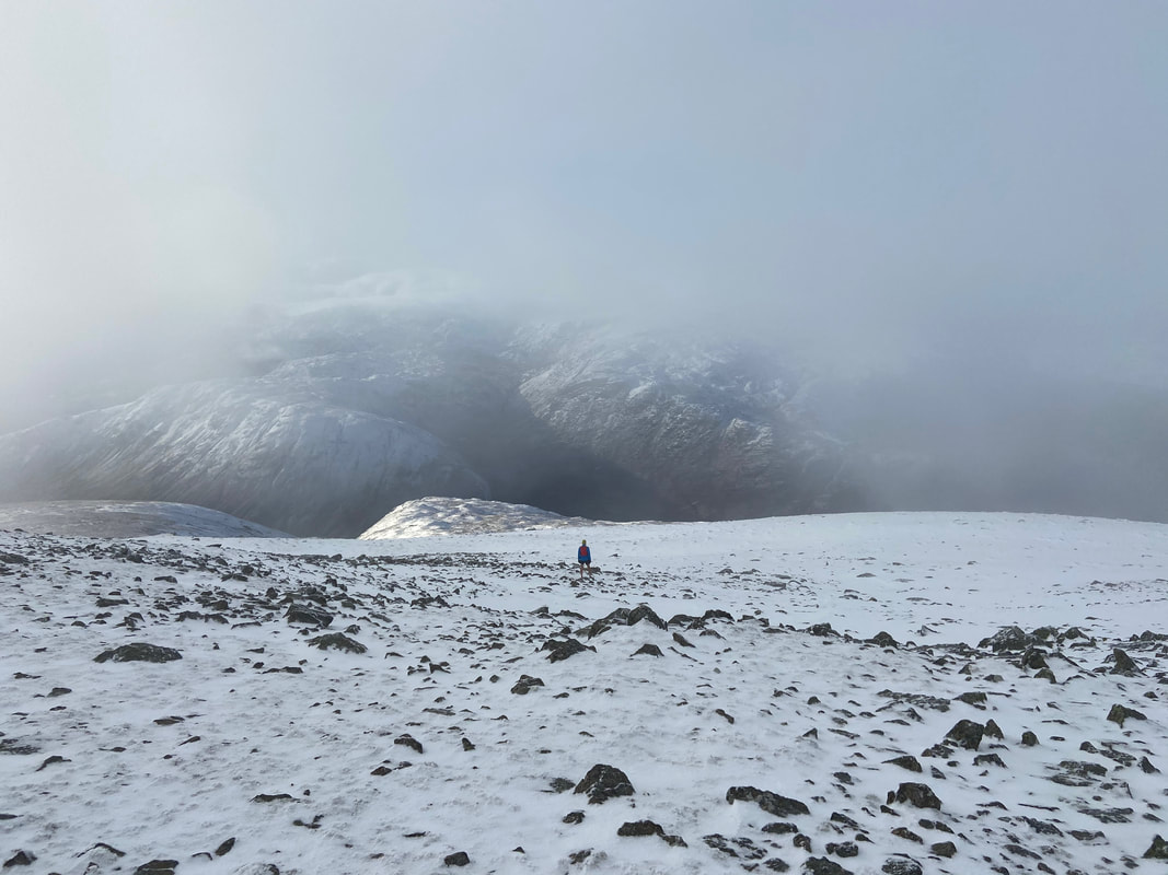
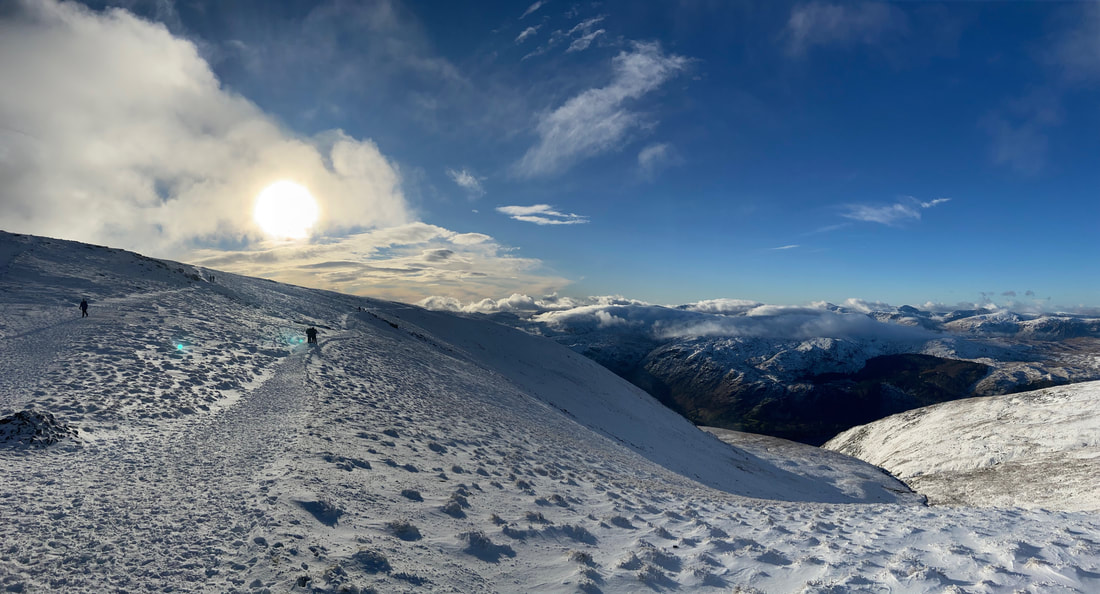
A real mixed bag of overcast, sunshine and low cloud. The snowline today was at approximately 400m. Full winter kit was carried but only microspikes were used. It was sad to see so many people ill equipped for winter conditions and judging by how many times I was asked for directions - navigationally unaware of where they were.
Time Taken
7hrs
Total Ascent
2988ft (911m)
Wainwrights
2
Map
OL5 - The English Lakes - North Eastern Area
Walkers
Dave, Angie & Fudge
|
GPX File
|
| ||
If the above GPX file fails to download or presents itself as an XML file once downloaded then please feel free to contact me and I will send you the GPX file via e-mail.
Route Map
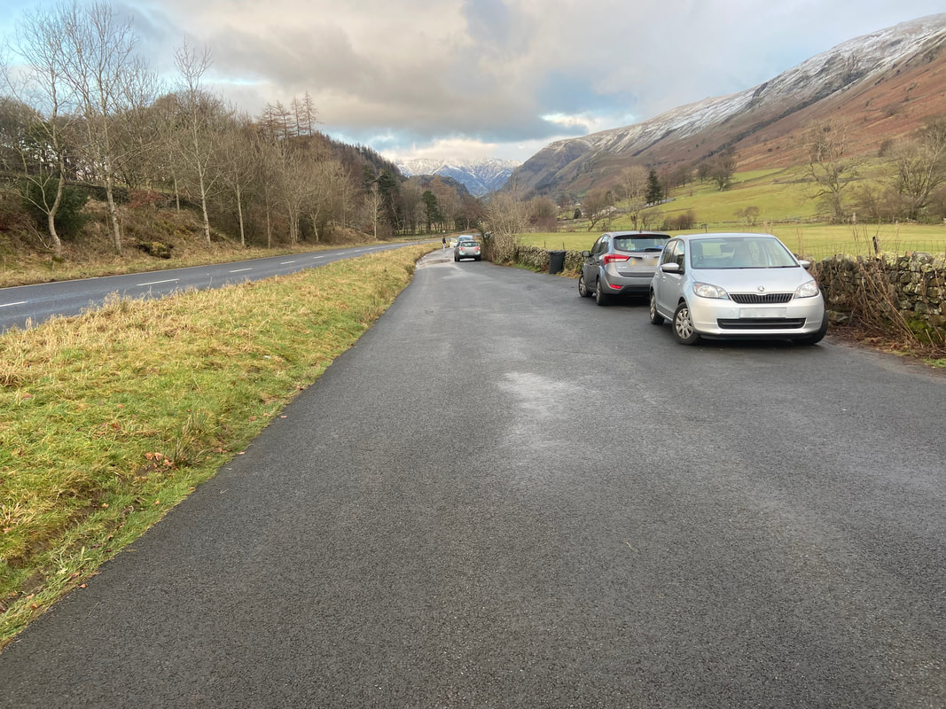
The lay by on the A591 near Swirls Car Park - plenty of room if you get here early enough, just park sensibly and do not block gates.
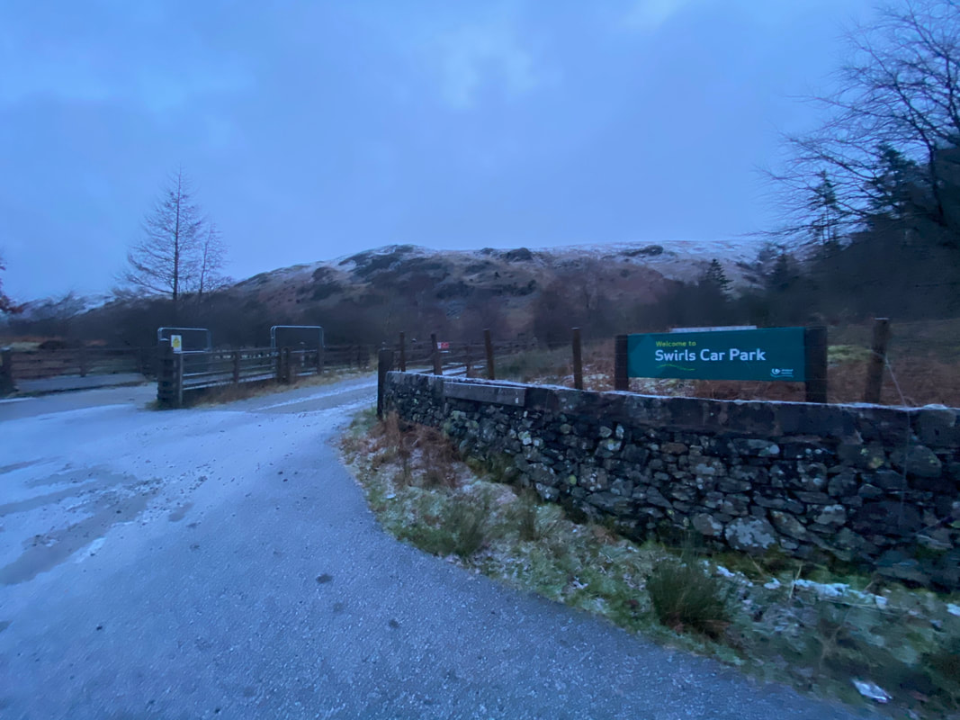
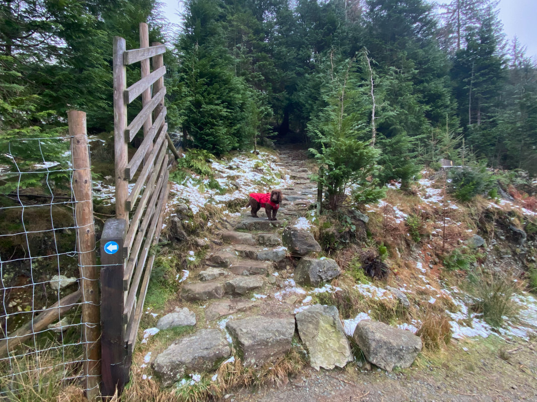
The route heads through the very icy entrance to Swirls Car Park and immediately leaves to the right through a gate
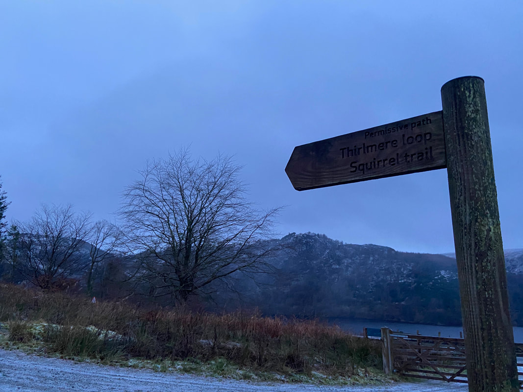
Once through the gate on the right a signpost points the way along the forest track on a path known as the Squirrel Trail
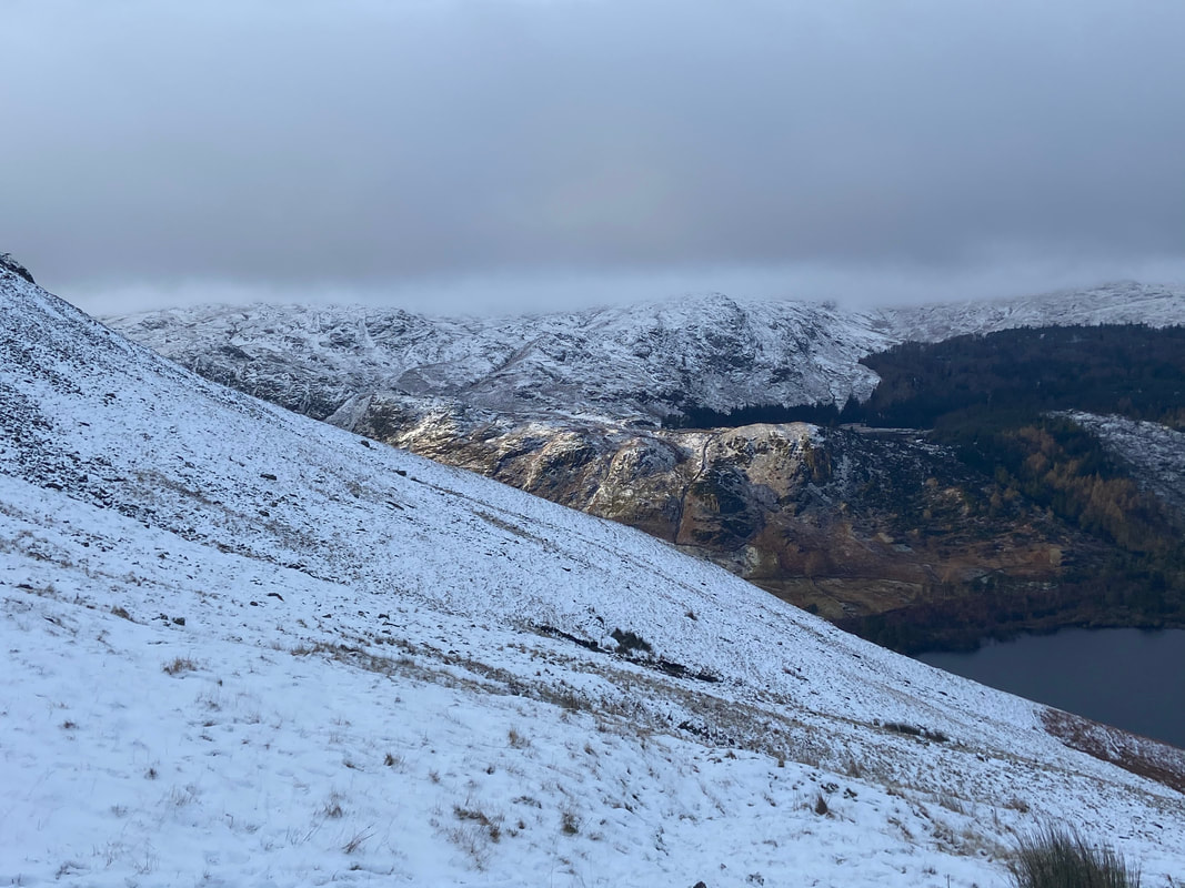
Thirlmere looking to Rough Crag and Hause Point with Hawes How Island to the right. The tower right of centre is a straining well & valve house.
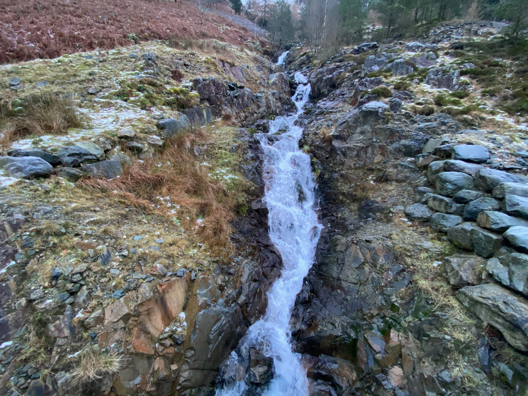
The water run off forming this small waterfall originates from a disused leat just below Helvellyn's summit
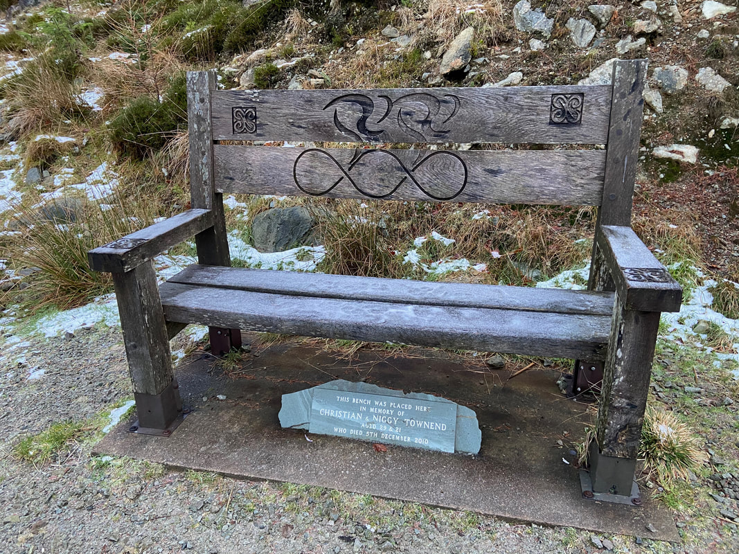
The memorial bench to two cycling brothers from Cockermouth who were sadly killed during a ride in December 2010.
www.bbc.co.uk/news/uk-england-cumbria-11930697
www.bbc.co.uk/news/uk-england-cumbria-11930697
The route leaves the trail and joins the Birk Side path coming up from the Car Park at Wythburn
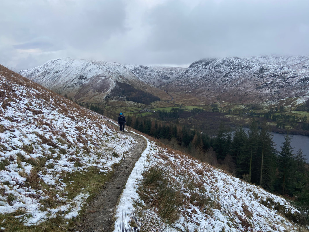
The Birks Side path switches back on itself as we look back to Dunmail Raise, Steel Fell & Ullscarf
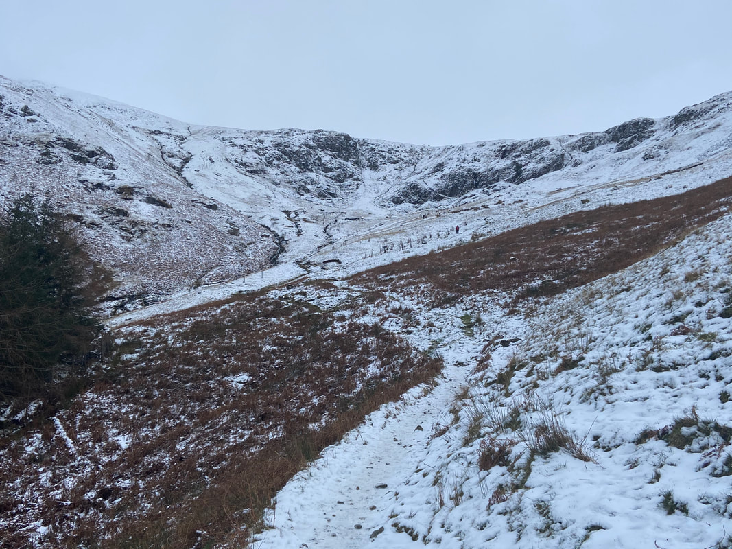
The Birk Side path heading to Comb Crags - it was shortly after this point we put the micro spikes on as the terrain was starting to ice up
The sun was really trying to break through the cloud as we continued our ascent.........
..........however it was still clearly a thick grey soup up on the ridge. Would we get lucky with the weather? Read on to find out!
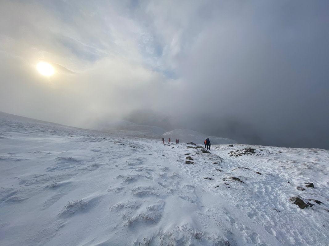
This is a popular route up Helvellyn and no doubt it would get a bit busier up on the ridge
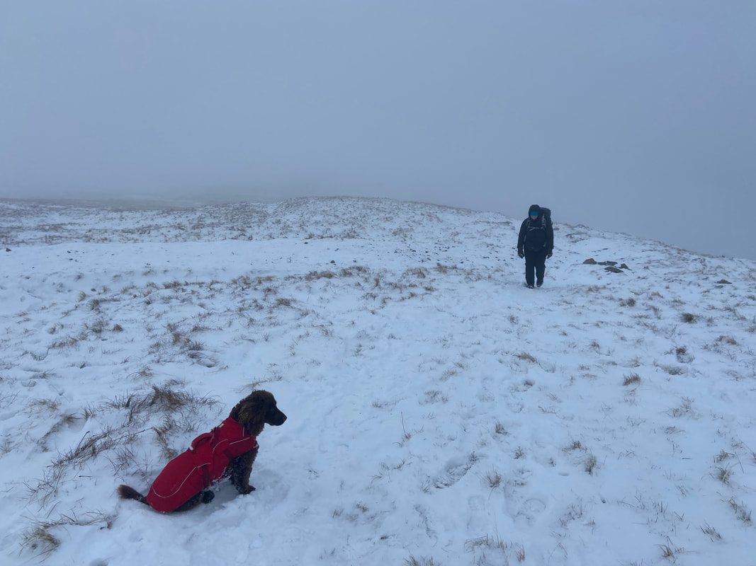
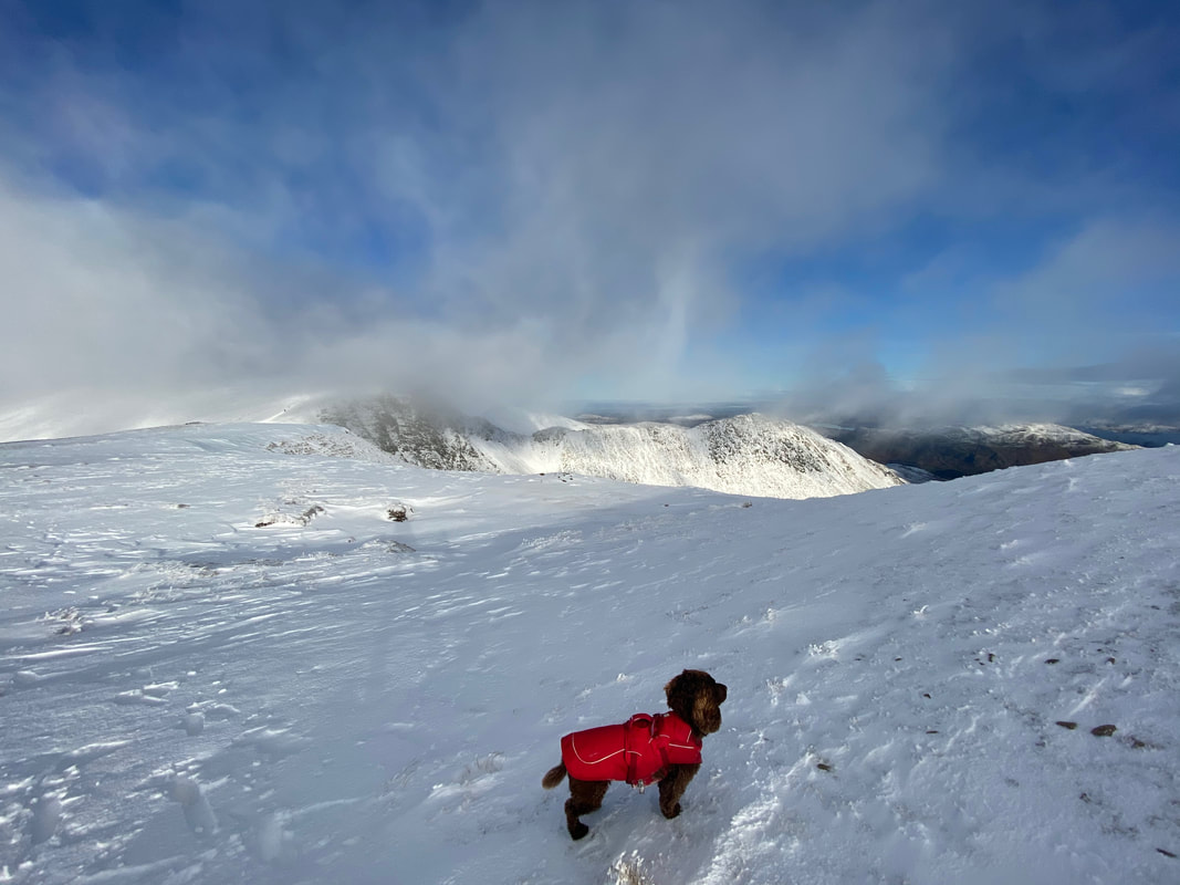
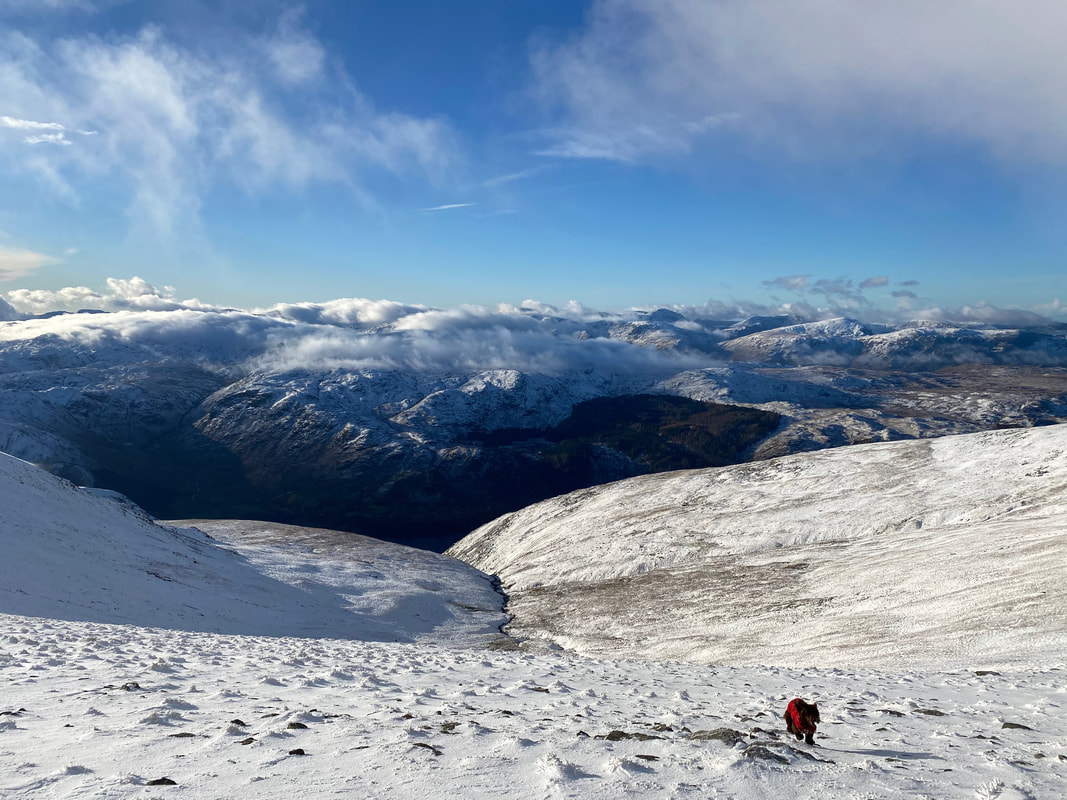
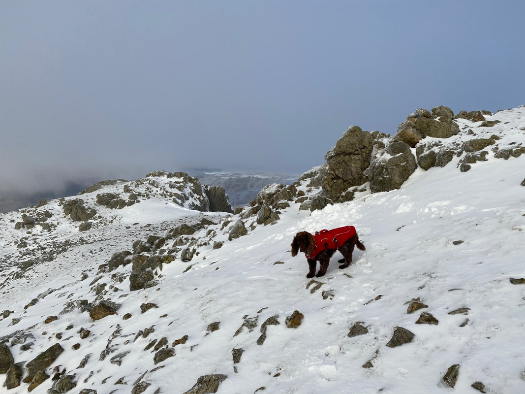
To say Fudge loves snow is an understatement - it took us ages to get anywhere today because we were messing about with him so much
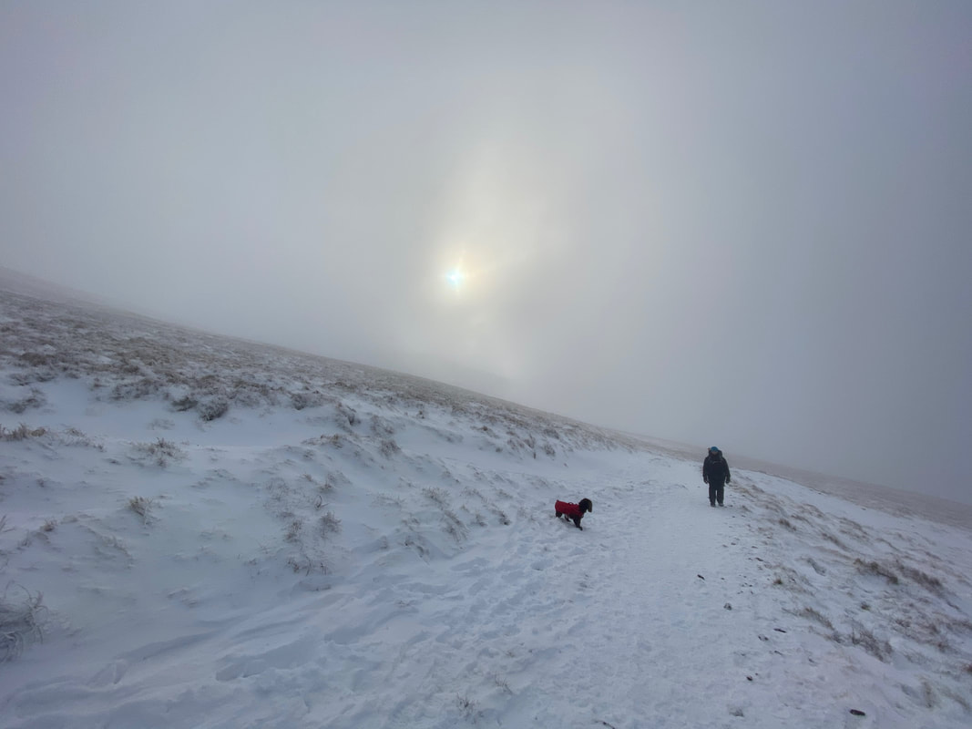
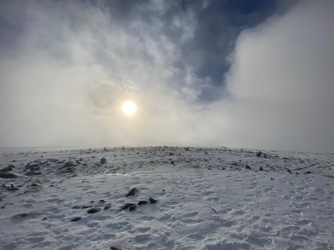
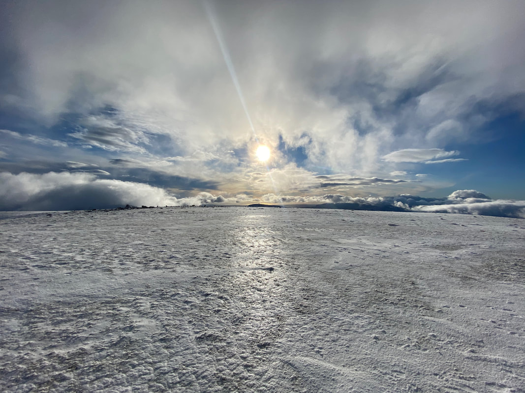
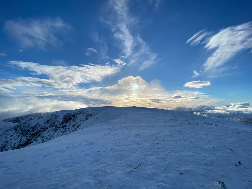
Proof once again that the sun was up there somewhere - come on cloud, go away for a bit!
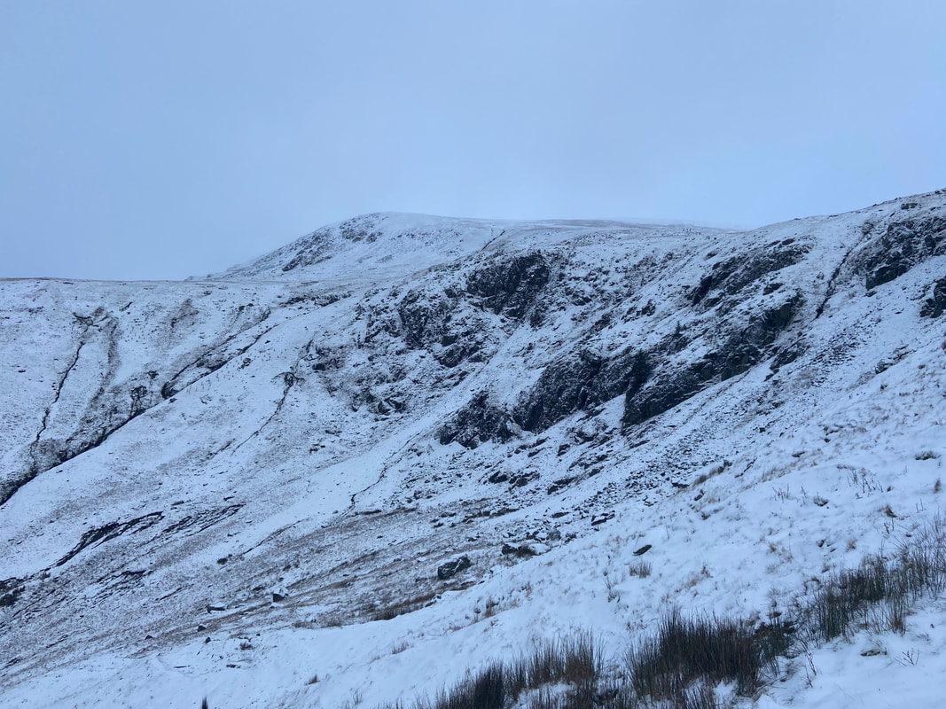
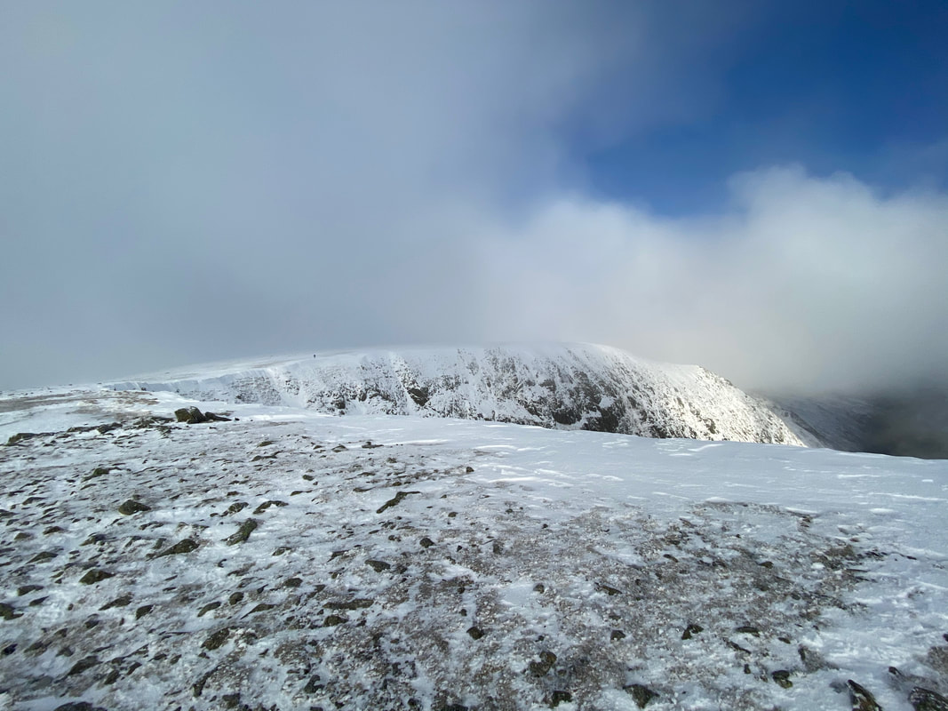
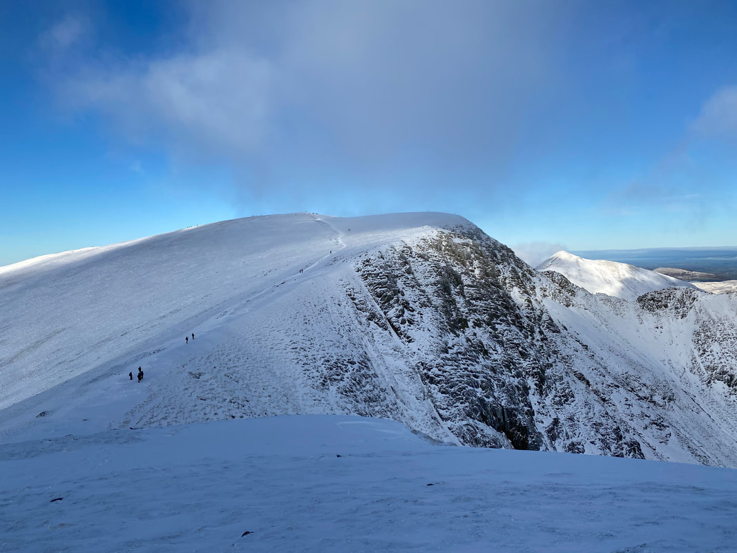
Above High Crags and it looked as though we might be in luck as the cloud seems to be thinning out a bit. It was just after this point that we left the main path to climb a couple of hundred yards through deep snow to the summit of Nethermost Pike.
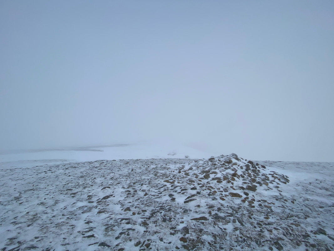
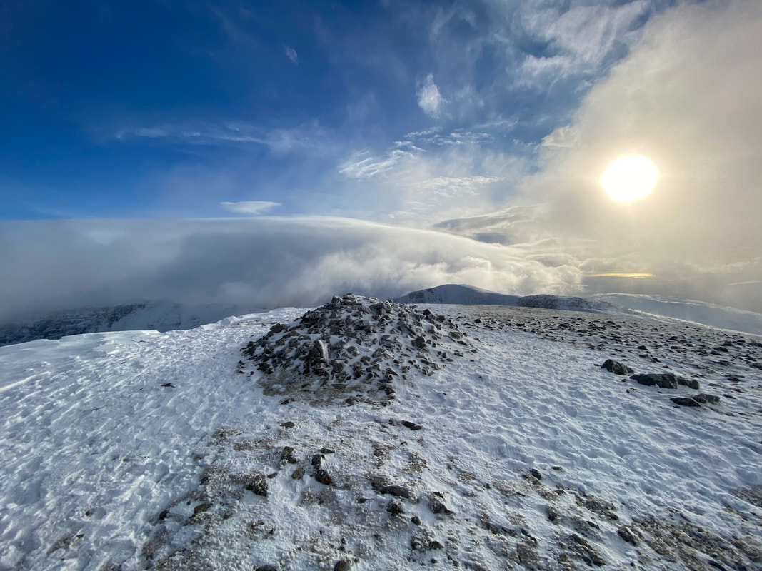
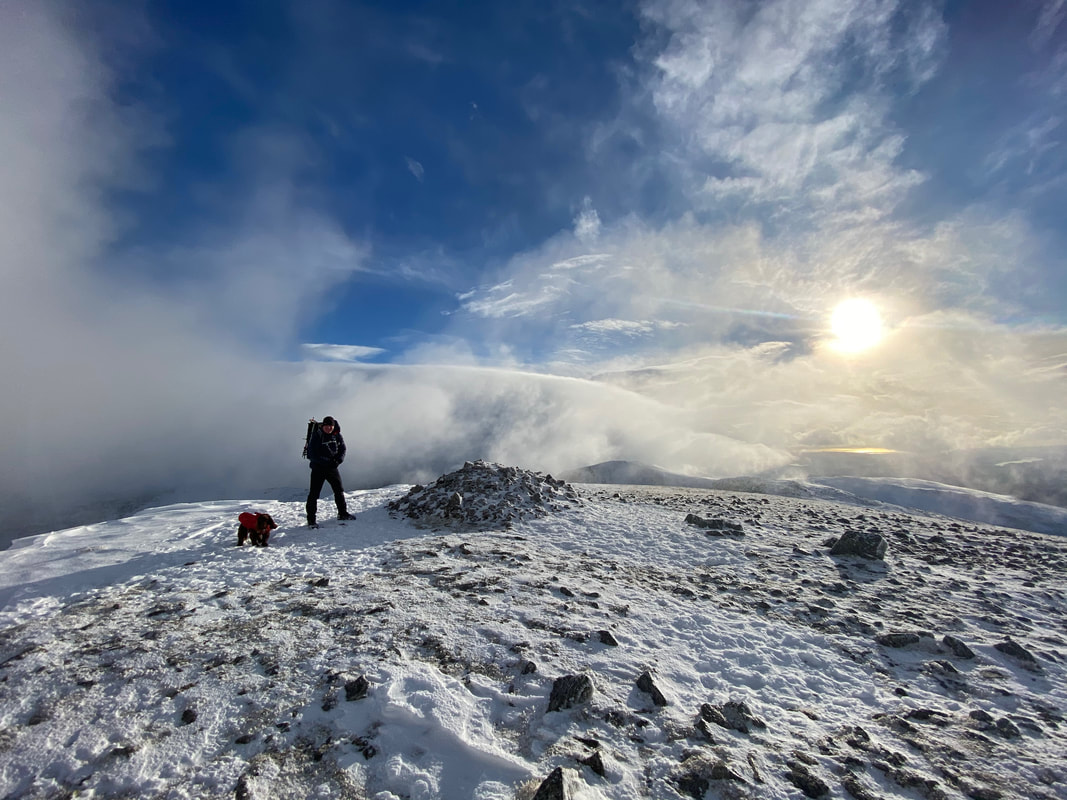
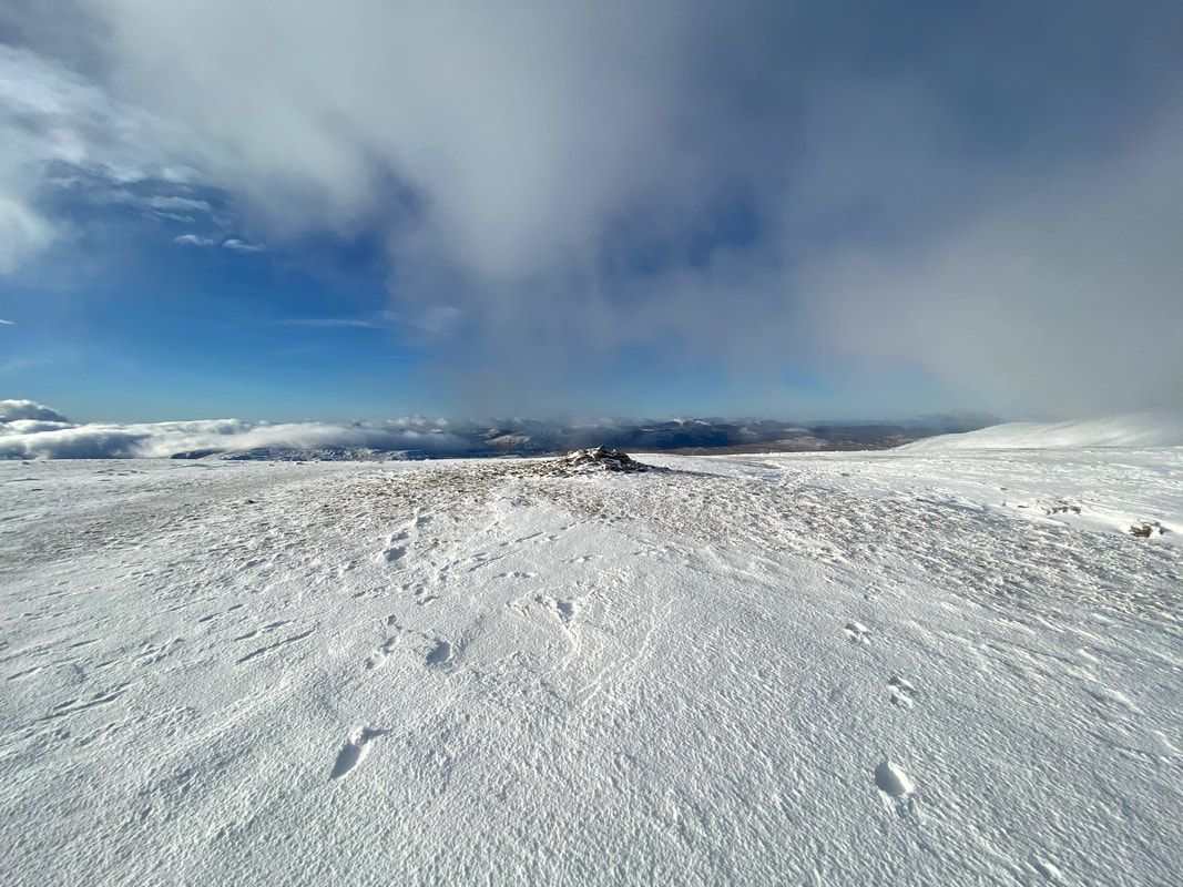
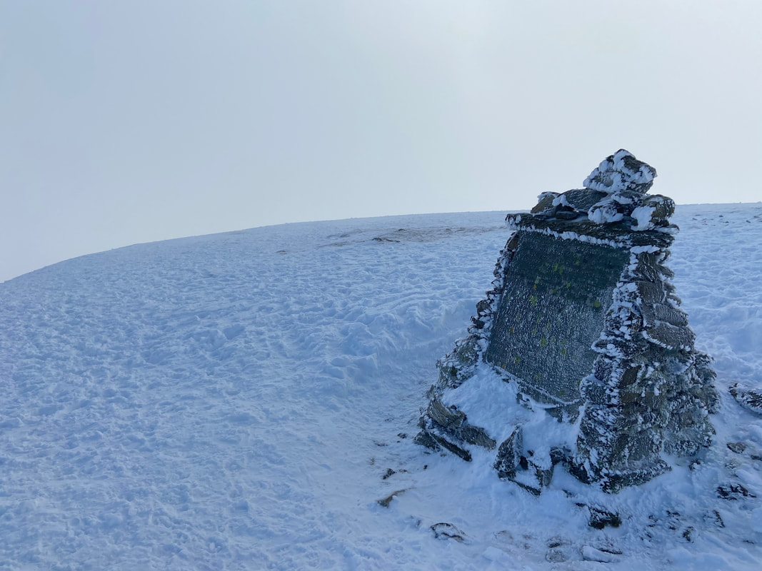
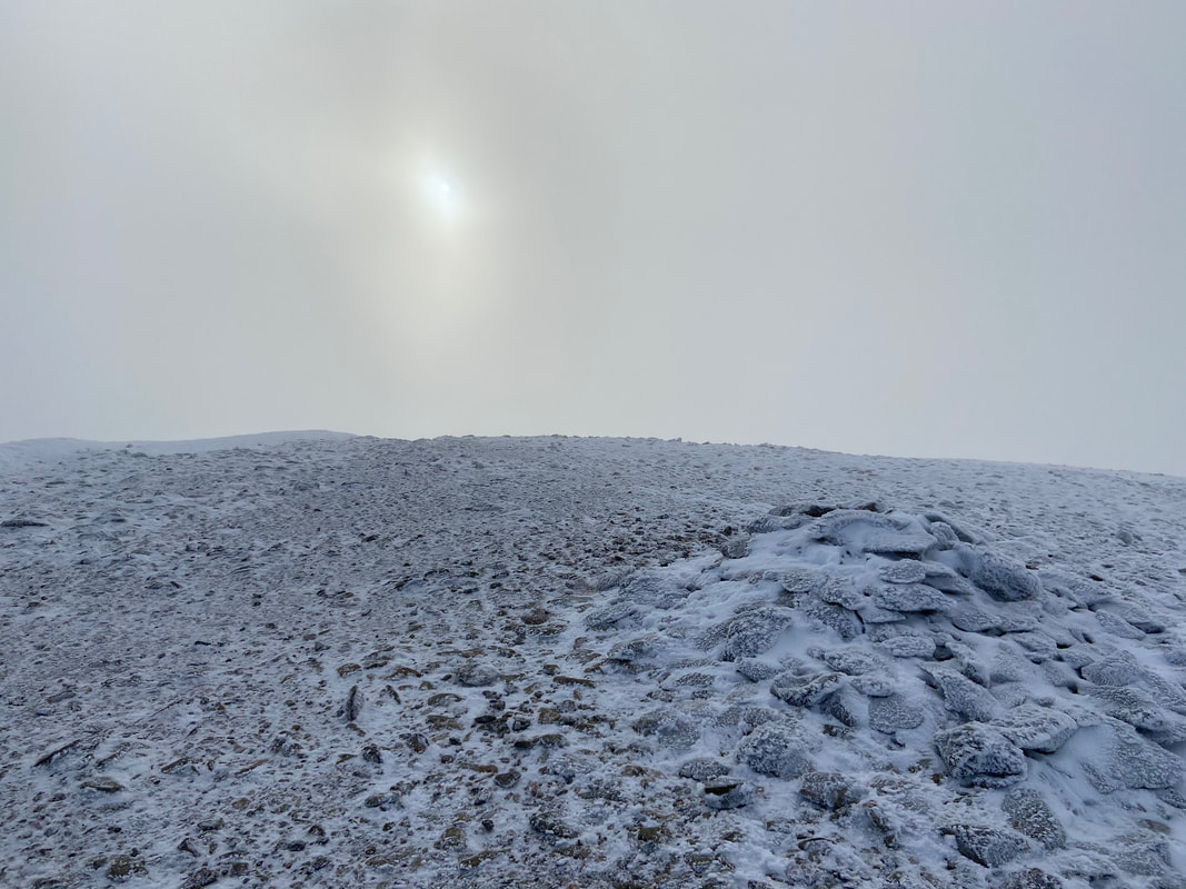
The summit of Nethermost Pike....................
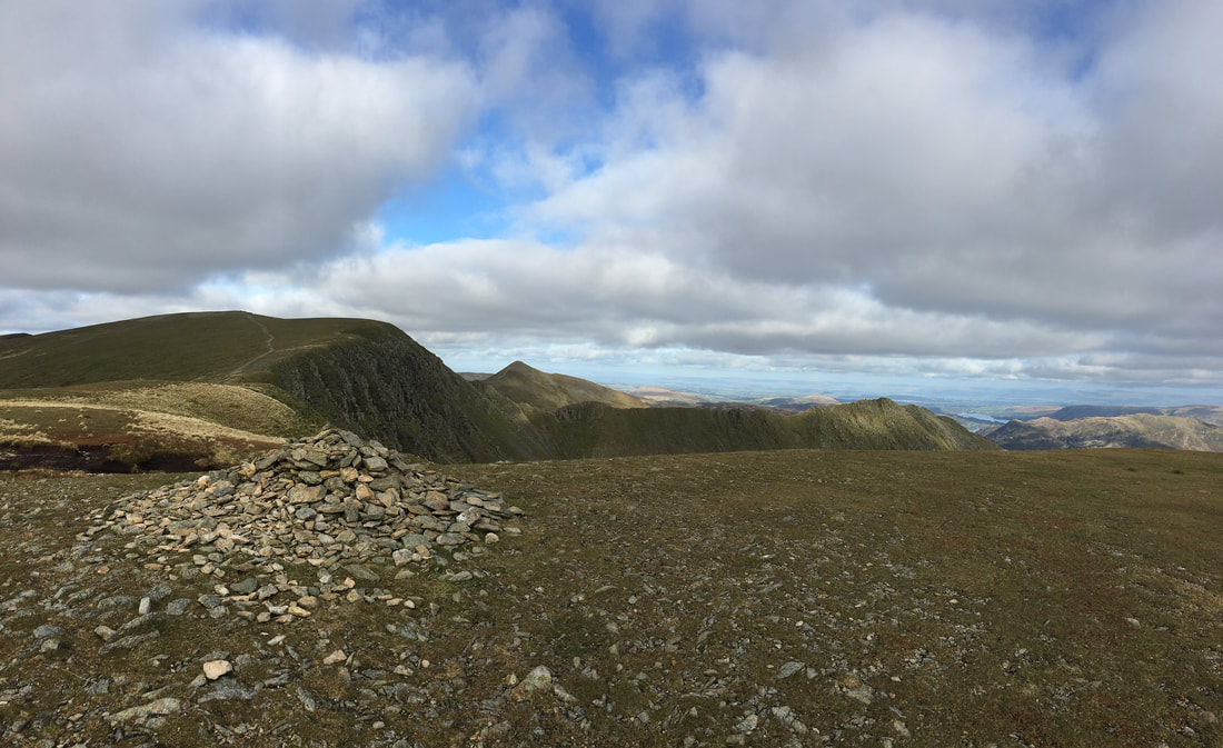
...........................October 2019's view from near enough the same spot
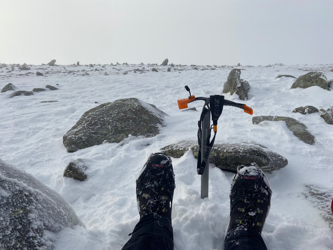
Token ice axe pic as we have a breather on Nethermost Pike's summit.
There was nobody about on Nethermost Pike although shortly after I took this shot looking towards Dollywaggon Pike, three lads asked me if they were on the summit of Helvellyn. I put them right - nothing like a bit of education rather than mocking their inexperience.
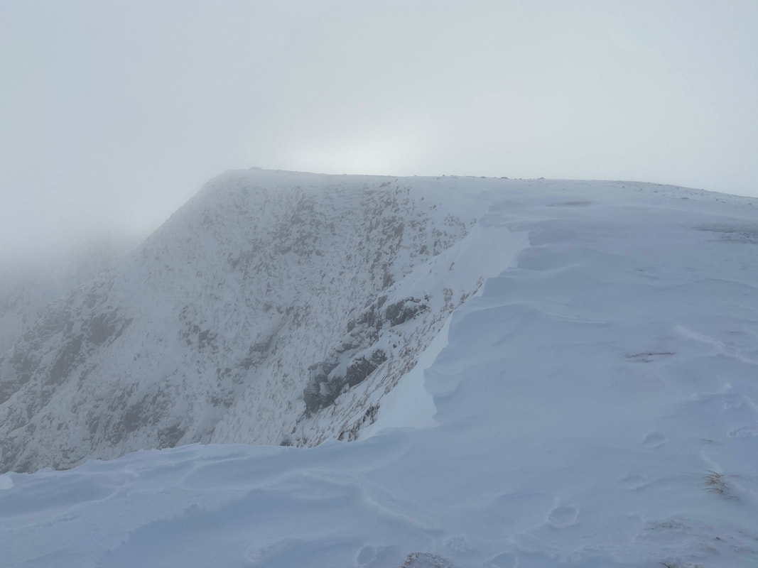
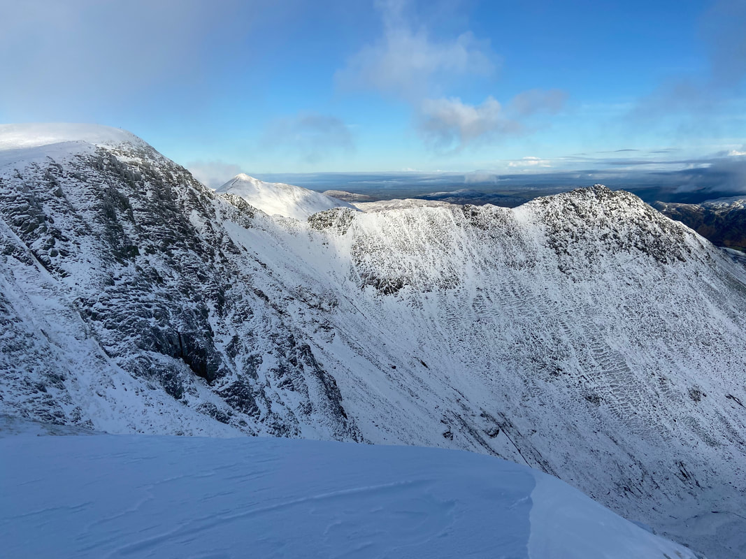
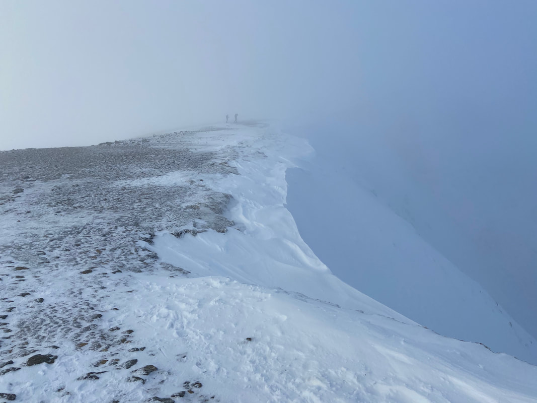
Anticipating Helvellyn to be a bit busy we postponed going over there for a while and decided to do a quick out & back to High Crag. The path was over to the right, however I left it for a few yards to get a safe shot of the dangerous cornicing along the escarpment edge.
At this point we felt that the weather was about to get a bit better and the cloud started to thin. A group of joggers were making their way over the lower slopes and therefore I took a quick shot of this chap who, whilst clearly in the middle of a run suddenly stopped to look at the view that was unfolding.
Looking back to Nethermost Pike from High Crag (and yes that is blue sky)
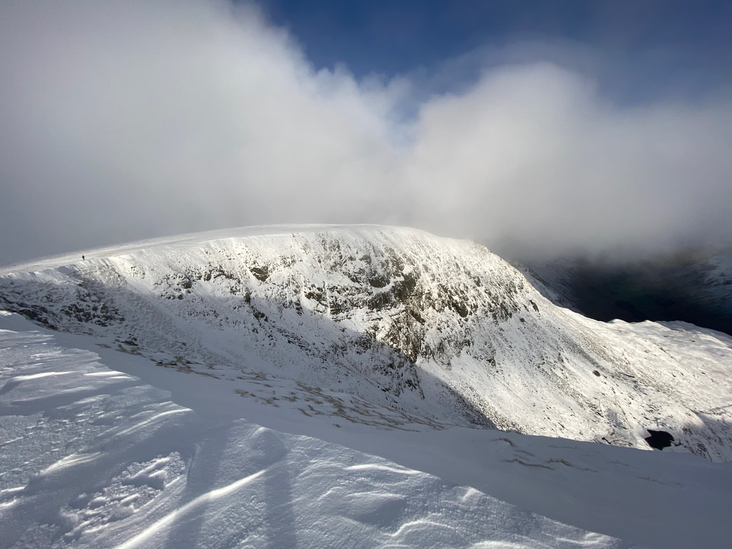
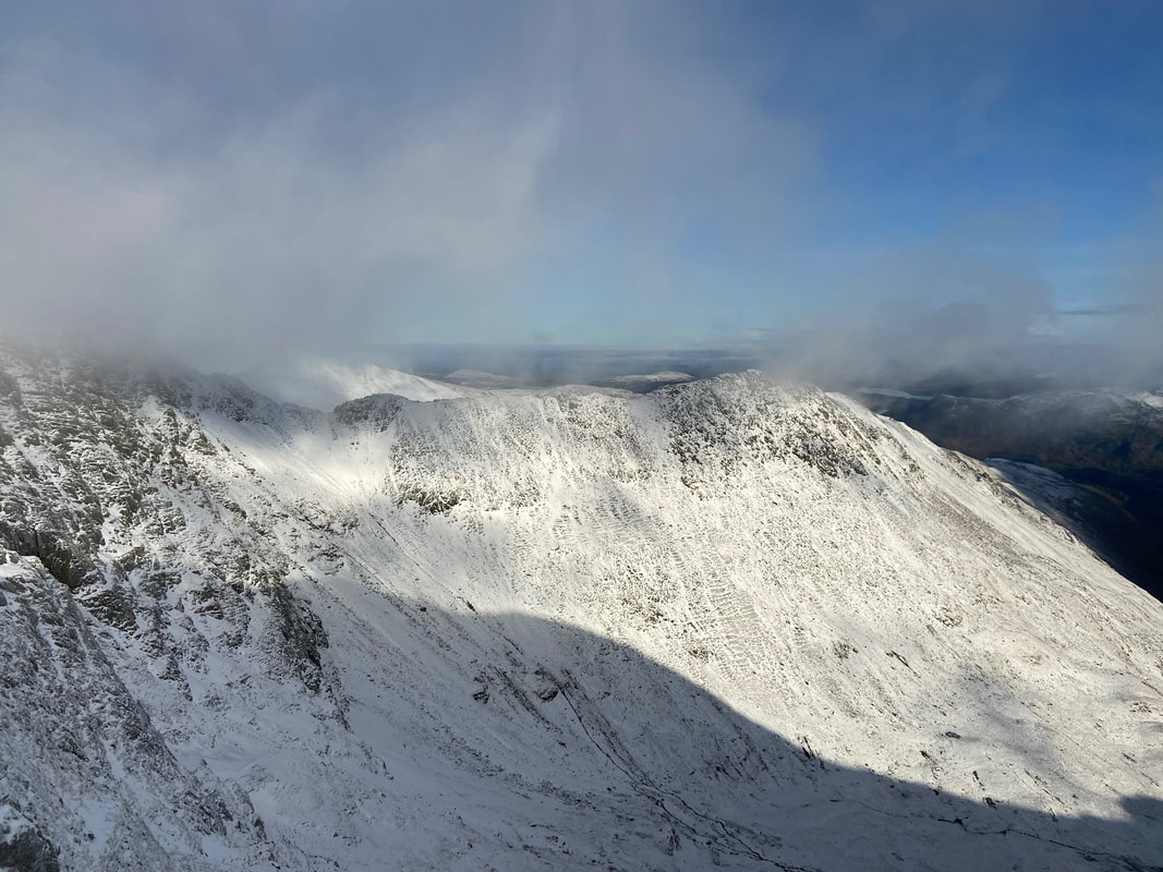
Wow! The summit of High Crag looking to Dollywaggon Pike - sometimes it pays off to persevere and take a chance with the weather.
Another shot of Nethermost Pike from High Crag
With Fudge on High Crag
Dollywaggon Pike from High Crag
A lone walker makes their way up on to the summit - it was just superb up here today once that cloud had cleared away
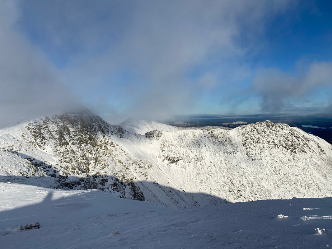
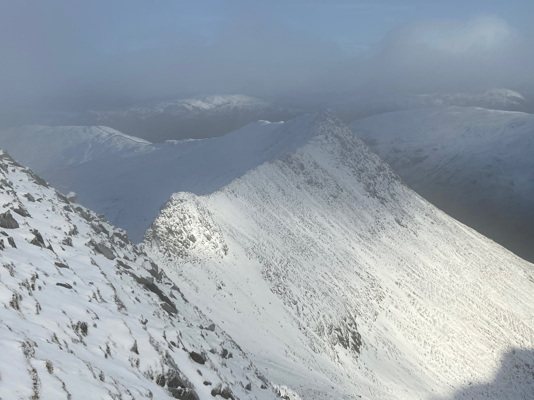
As we were leaving High Crag to return to Nethermost Pike the cloud lifted to reveal Striding Edge
Striding Edge
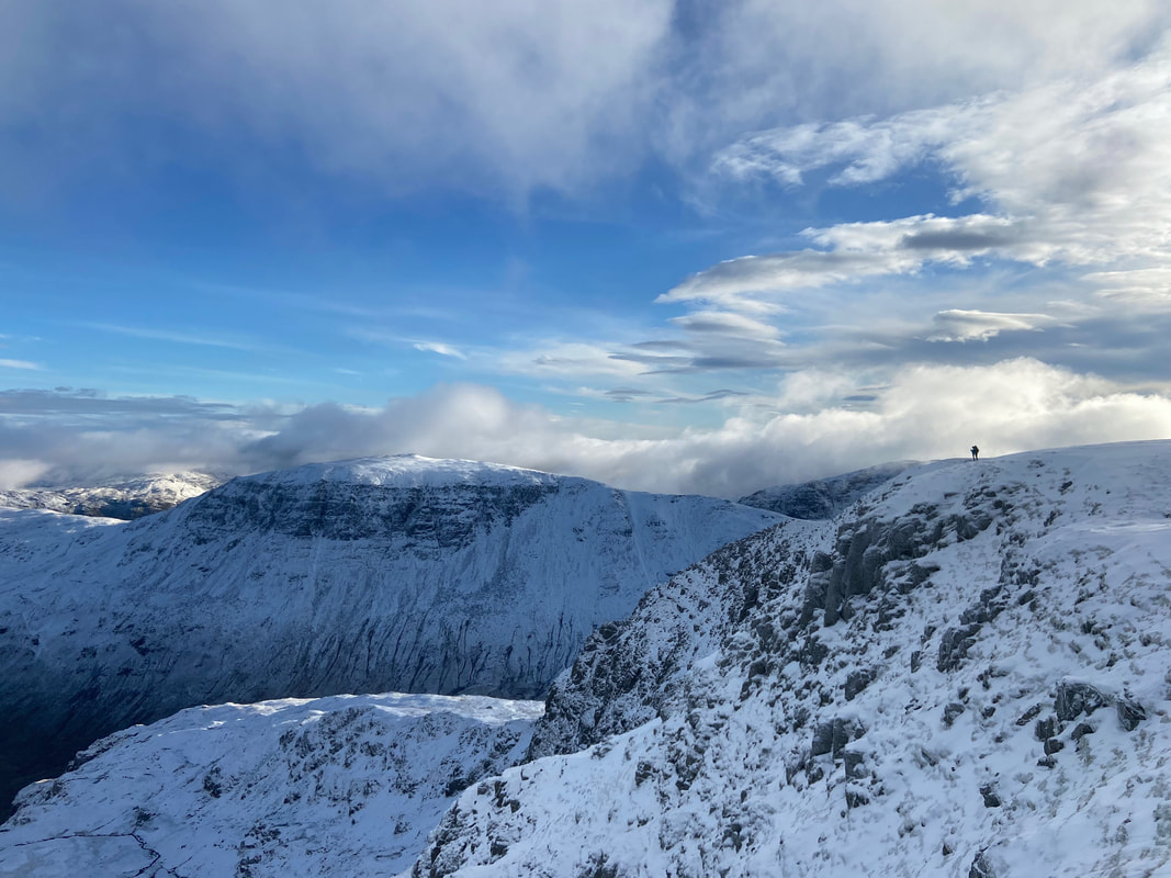
High Crag, St Sunday Crag & Birks from Nethermost Pike
Back on the summit of Nethermost Pike
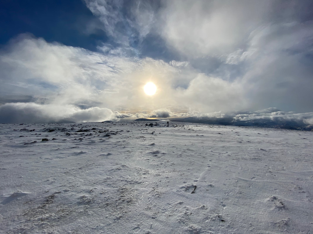
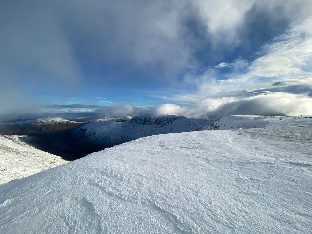
The plateau view just got better and better so much so that we hung around for quite a bit before moving off towards Helvellyn.
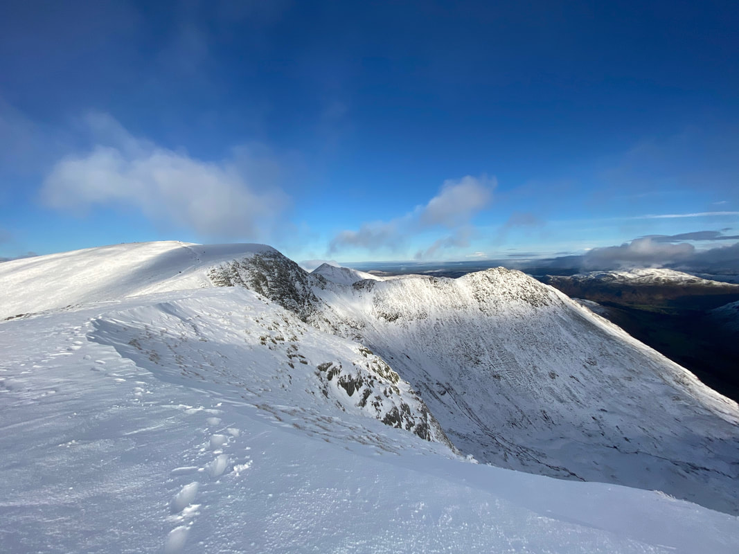
Another view of Striding Edge as the cloud reveals more of the arête plus Catstycam to the rear
St Sunday Crag and the east ridge of Nethermost Pike
Our onward route via Swallow Scarth to Helvellyn from Nethermost Pike
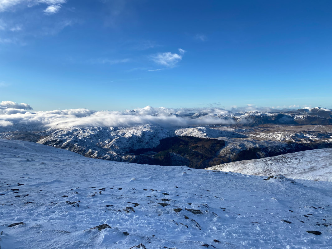
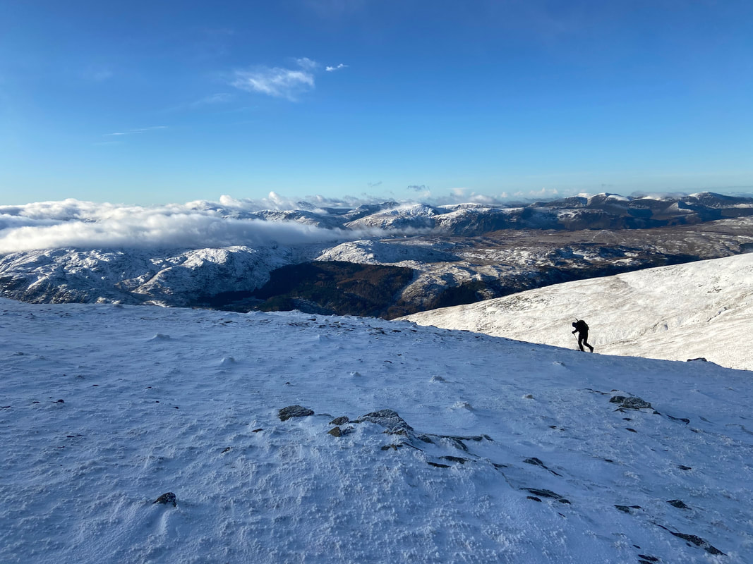
Looking west over Thirlmere
Nethermost Pike from near Swallow Scarth
Striding Edge, Catstycam & High Spying How. The snow in front of me was cornice and extremely dangerous.
Lad Crag on Helvellyn
So glad we made the effort to get out today - it was just superb up here
The top of the Birk Side path
Looking down Whelpside Gill from Swallow Scarth
Striding Edge - I bet it was great fun on there today. It was at this point that the cloud started to roll in once more.
The Gough Memorial at the top of Striding Edge - it was here that I had another chat with the 3 lads who thought they were on Helvellyn when they were actually on Nethermost Pike. They asked me the best way down to Glenridding and would it be ok to go down via Striding Edge. We had a chat and due to their lack of kit, experience and the worsening weather conditions I managed to persuade them to walk along the ridge to Dollywagon and descend from there via the Grisedale Valley. Thankfully they took my advice.
The Gough Memorial commemorates a fatal fall down the east face of Helvellyn in wintry conditions in the spring of 1805. Charles Gough was a Manchester artist who set out to climb Helvellyn with only his faithful dog Foxie for company. He failed to return. At the beginning of the 19th century, fell-walking and mountaineering for pleasure were relatively new pursuits and Gough, alone on the mountains had no specialist clothing or kit. Three months later a shepherd came across a dog barking and beside her lay the remains of her unfortunate master. Foxie, an Irish Terrier, loyal to the end had remained with her master and some accounts report that not only had the dog survived but had a pup that didn’t make it. A Carlisle newspaper had reported: ‘The bitch had pupped in a furze near the body of her master.’ On a darker note, the same report concluded that the dog ‘shocking to relate, had torn the clothes from his body and eaten him to a perfect skeleton.’ Some reports speculated that ravens had attacked the body, while others stated that the body was untouched by mountain animal or bird.
The Gough Memorial commemorates a fatal fall down the east face of Helvellyn in wintry conditions in the spring of 1805. Charles Gough was a Manchester artist who set out to climb Helvellyn with only his faithful dog Foxie for company. He failed to return. At the beginning of the 19th century, fell-walking and mountaineering for pleasure were relatively new pursuits and Gough, alone on the mountains had no specialist clothing or kit. Three months later a shepherd came across a dog barking and beside her lay the remains of her unfortunate master. Foxie, an Irish Terrier, loyal to the end had remained with her master and some accounts report that not only had the dog survived but had a pup that didn’t make it. A Carlisle newspaper had reported: ‘The bitch had pupped in a furze near the body of her master.’ On a darker note, the same report concluded that the dog ‘shocking to relate, had torn the clothes from his body and eaten him to a perfect skeleton.’ Some reports speculated that ravens had attacked the body, while others stated that the body was untouched by mountain animal or bird.
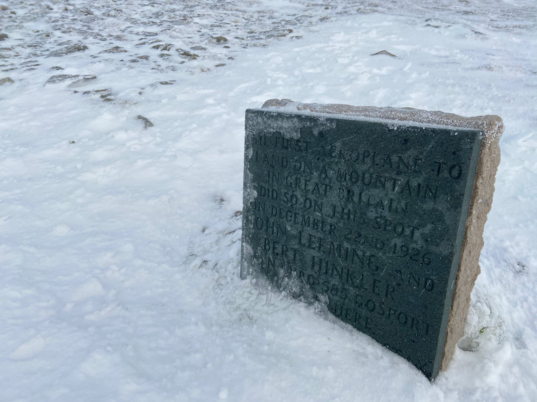
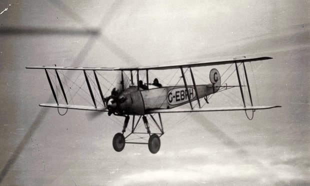
The plaque commemorating the successful landing of an AVRO aeroplane on Helvellyn's summit in 1926..........
........ and here is the very plane
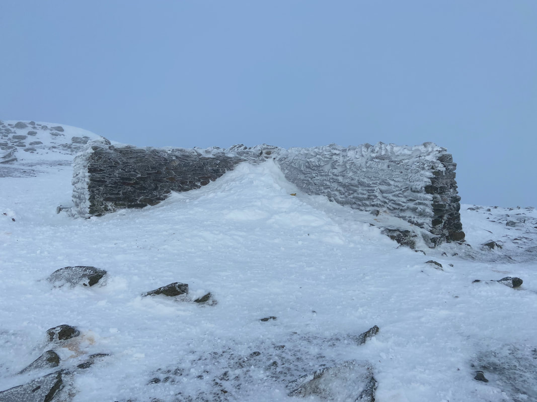
The cross shelter near the summit of Helvellyn
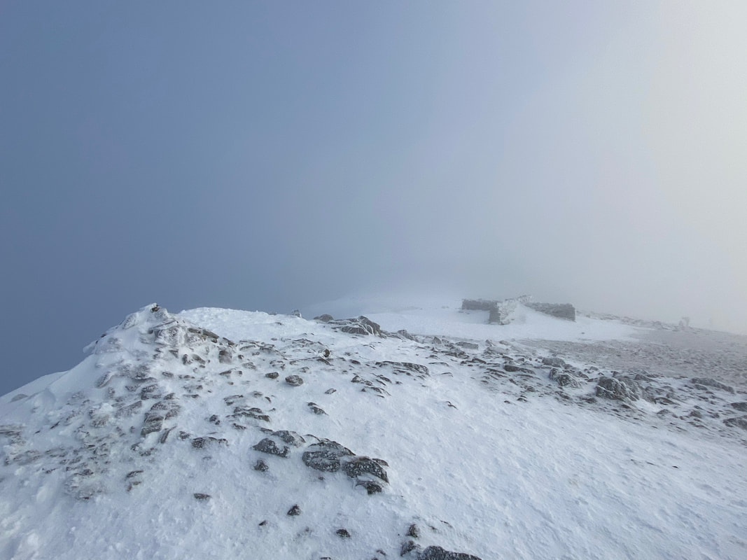
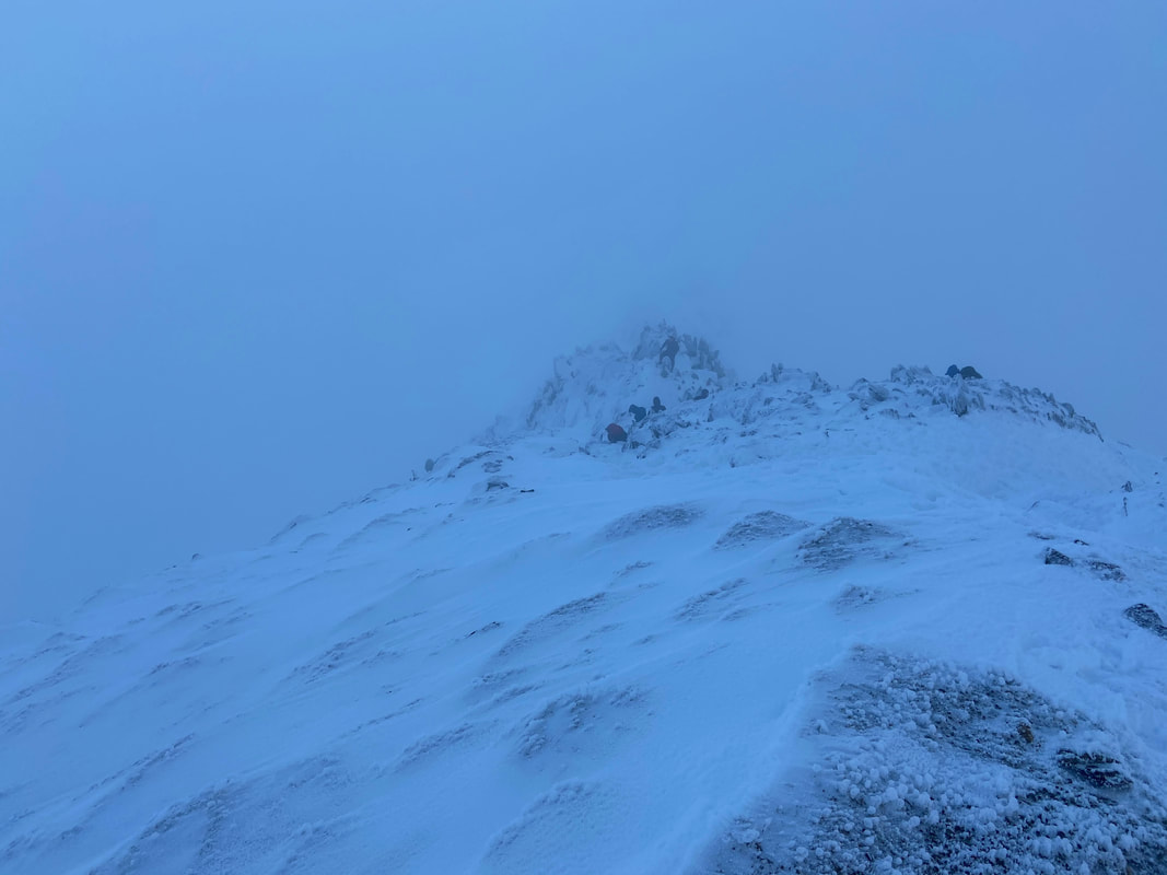
The summit of Helvellyn to the left - as you can see we were once more in full clag
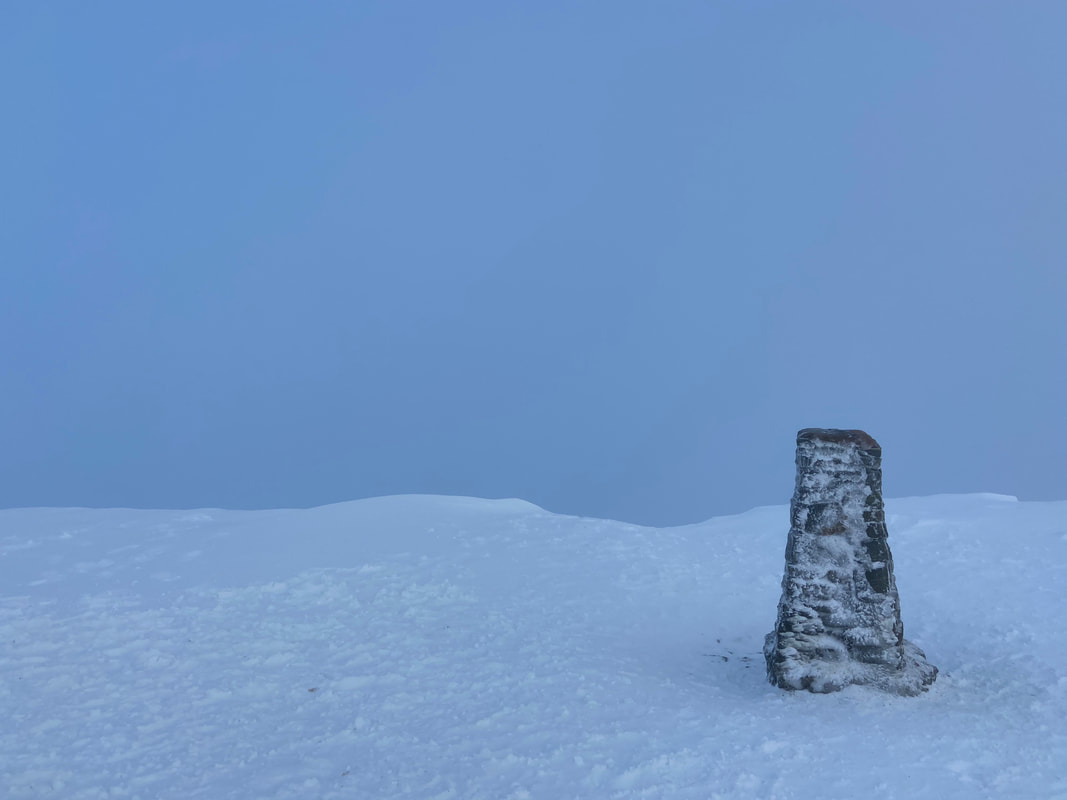
The Trig Point on the summit of Helvellyn
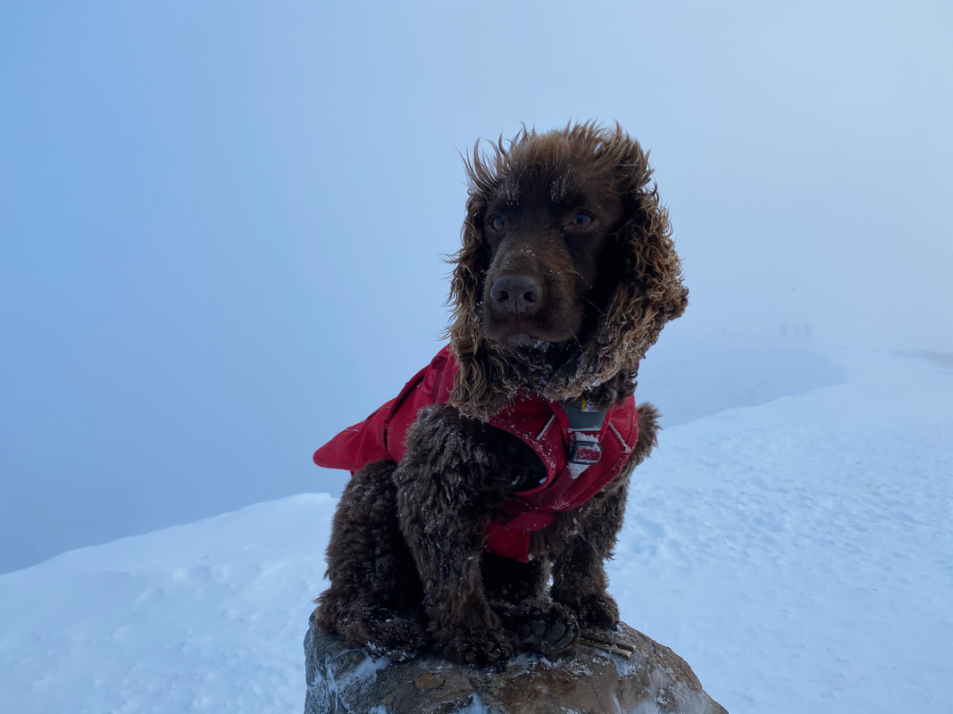
Windswept & interesting Fudge - god knows what's going on with the fur on his bonce
The top of Swirral Edge
Heading for Helvellyn Lower Man
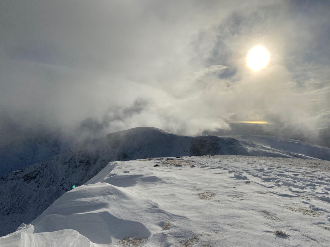
More evidence of cornicing on Helvellyn's summit plateau
The summit of Helvellyn Lower Man
From Lower Man it was time to descend via the popular Browncove Crags path that comes up from Swirls Car Park
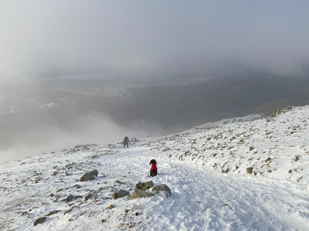
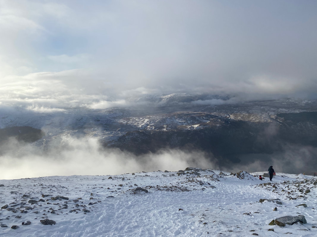
As we descended the cloud started to lift
The summit of Browncove Crags
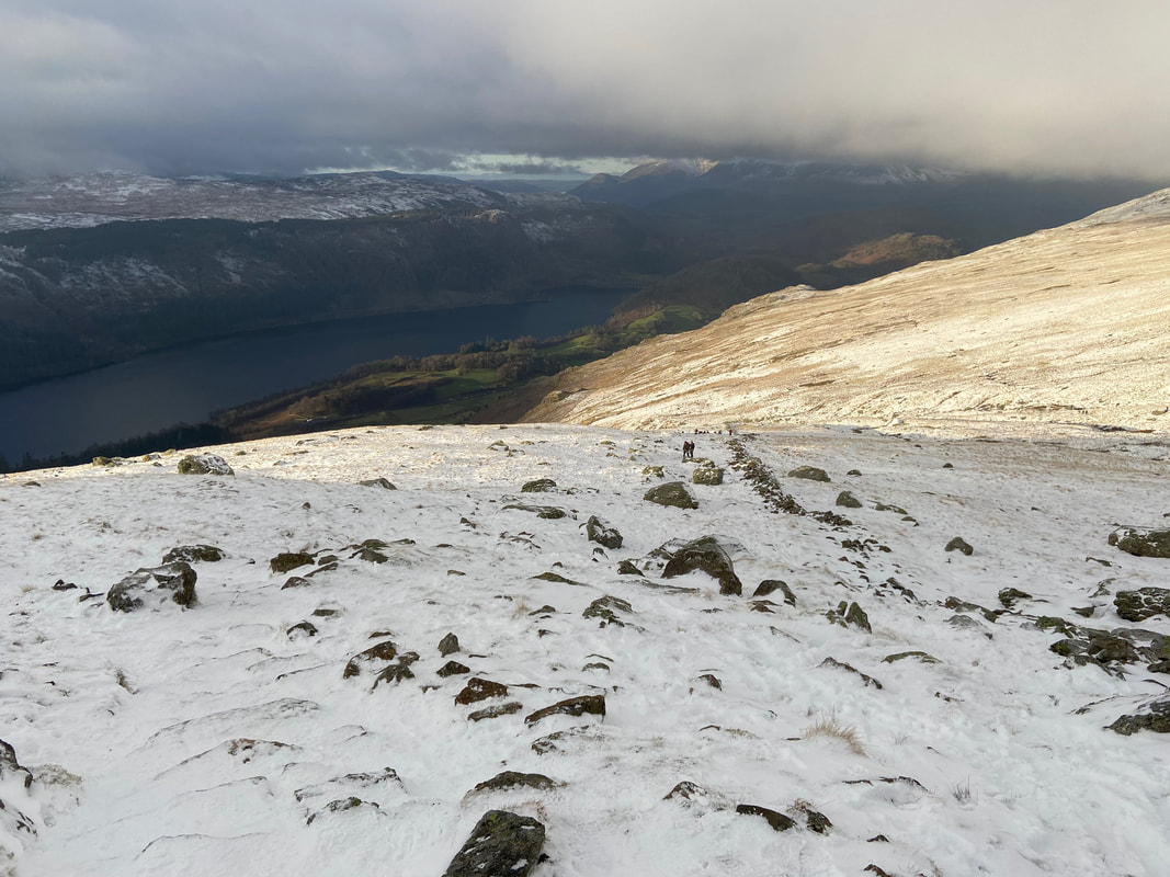
Almost at the top of the snowline now as we continue to descend
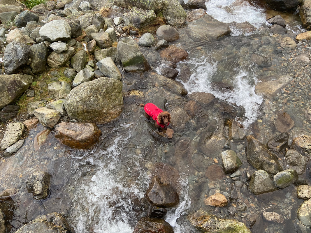
Early bath for Fudge in Helvellyn Gill
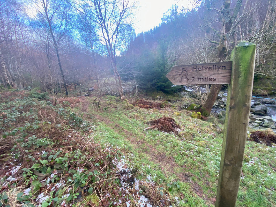
The Helvellyn sign near Swirls Car Park
