Steeple, Scoat Fell, Haycock, Caw Fell & Crag Fell - Saturday 24 August 2019
Route
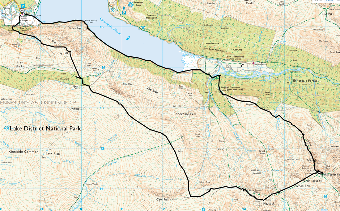
Bleach Green - Ennerdale Water - Robin Hood's Chair - The Side - Ling Mell Plantation - Lingmell - Long Crag - Steeple - Scoat Fell - Haycock - Little Gowder Crag - Caw Fell - Iron Crag - Crag Fell - Bleach Green
Parking
Bleach Green Car Park, Ennerdale (Free) - Grid Ref NY086153. Nearest postcode is CA23 3AS.
Mileage
14 miles
Terrain
Mountain paths & forest tracks for the most part. The path through Lingmell Plantation to the foot of Long Crag is intermittent therefore ensure that you are on your navigation through this section, particularly in poor visibility.
Weather
Glorious, just glorious. Wall to wall sunshine, excellent visibility with the occasional welcome light breeze.
Time Taken
9hrs 35mins
Total Ascent
3723ft (1135m)
Wainwrights
5
Map
OL4 - The English Lakes (North Western Area)
Walkers
Dave, Angie & Fudge with Deborah & Colin Howard
|
GPX File
|
| ||
If the above GPX file fails to download or presents itself as an XML file once downloaded then please feel free to contact me and I will send you the GPX file via e-mail.
Route Map
The walk today started from the forestry commission Car Park at Bleach Green. Starting from here enables you to enjoy the lovely transit along the south shore of Ennerdale Water (the Coast to Coast route). To reduce the mileage the walk can be started from Bowness Knott Car Park to return via Tewit How from the path in the col between Scoat Fell and Haycock.
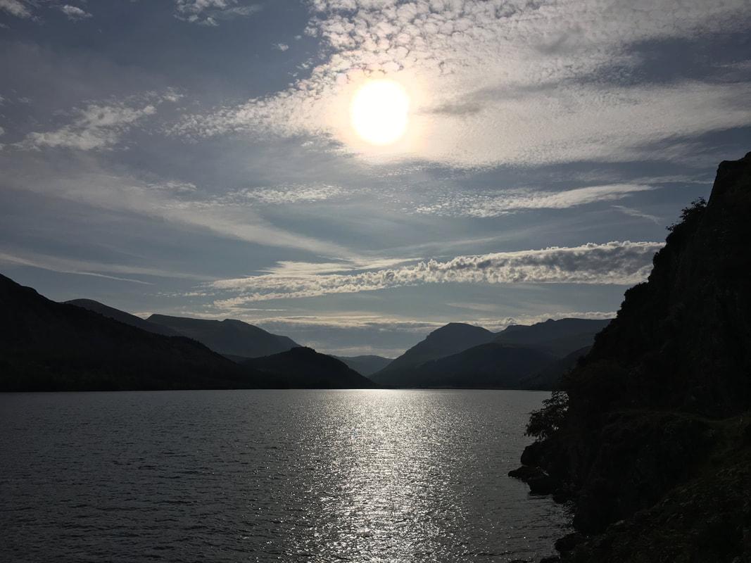
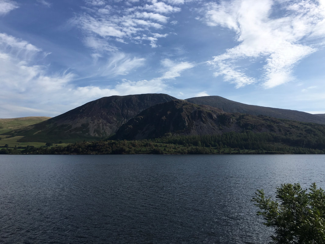
Glorious morning light on Ennerdale Water - it is worth getting out early for scenes like this
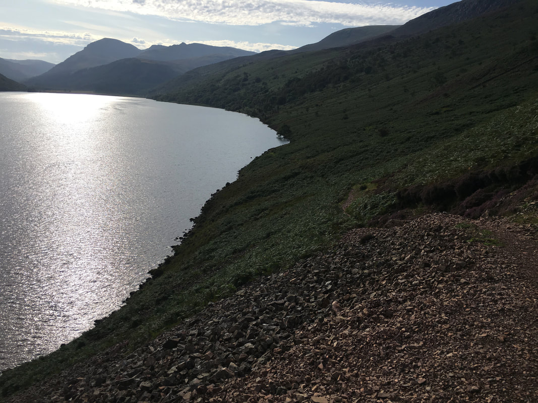
Looking along The Side on the southern shore of Ennerdale Water to Pillar. This is the Coast to Coast route and a path I have walked many, many times. It is a delightful stretch, particularly on a day like today. This was a Bank Holiday weekend and there is nobody here.
Herdus, Bowness Knott & Great Borne across Ennerdale Water
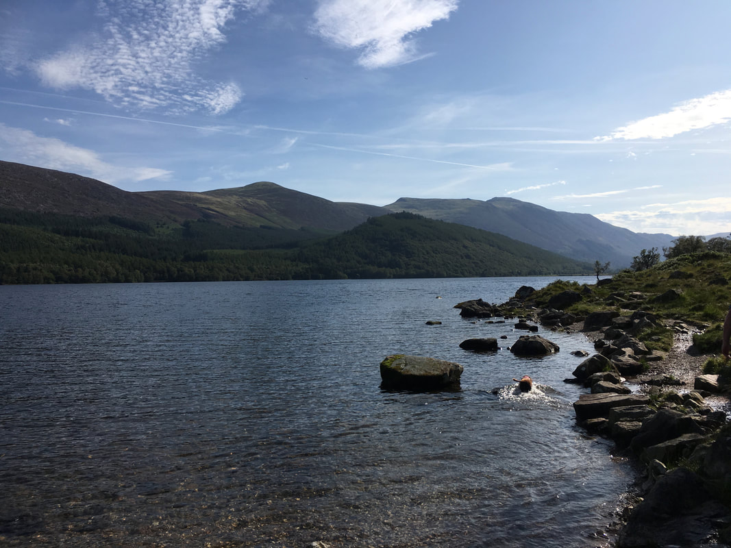
The first of many dips in the lake for Fudge as we look along the opposite ridge to Starling Dodd, Red Pike, High Stile & High Crag
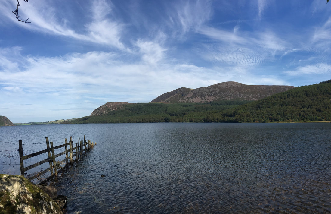
The eastern end of Ennerdale Water looking to Bowness Knott, Herdus & Great Borne
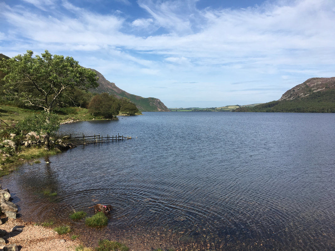
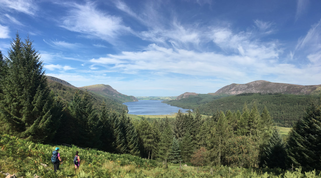
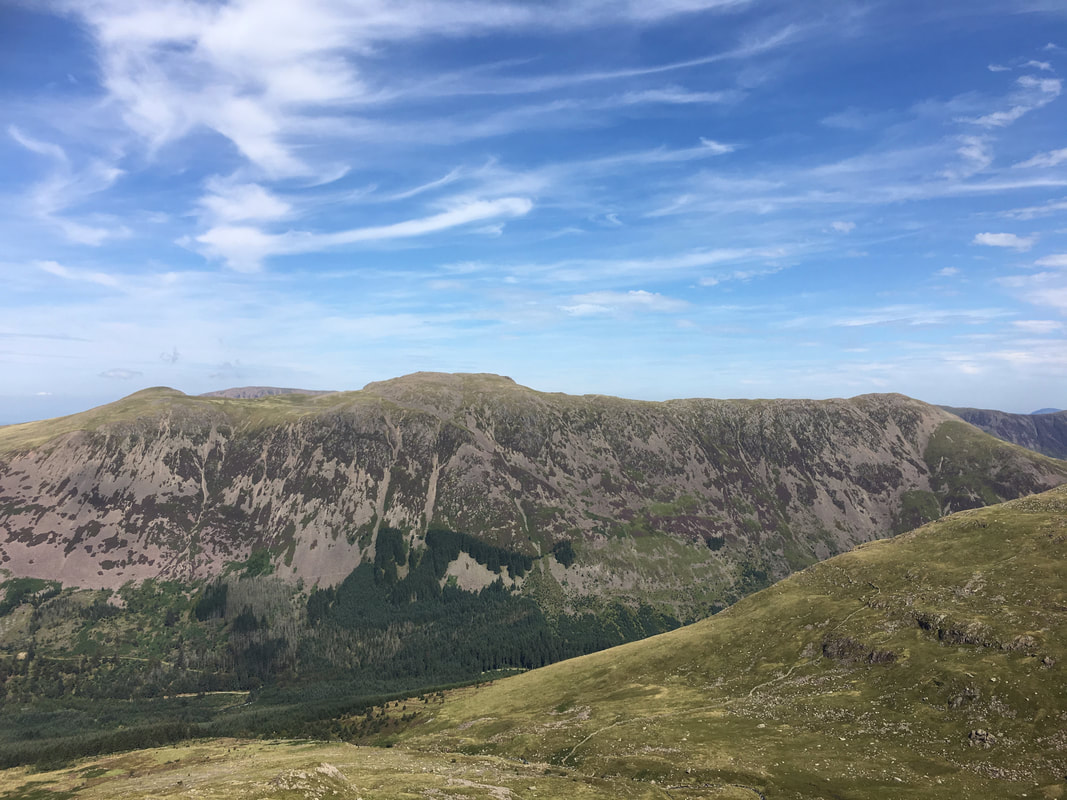
The head of the lake is a glorious spot as we look to Crag Fell & Anglers Crag to the left with Bowness Knott to the right
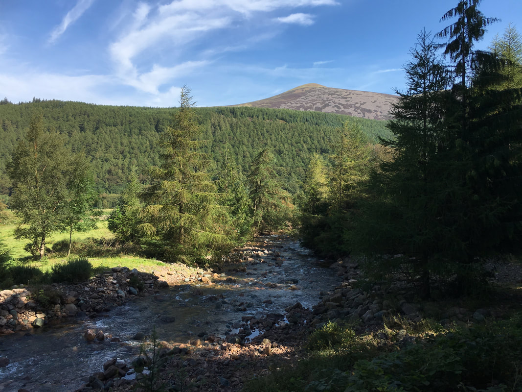
Crossing Woundell Beck looking over to Starling Dodd
From the valley floor the route climbs quite steeply up through Ling Mell Plantation - it is hard going but just stop, catch your breath and enjoy views like this.
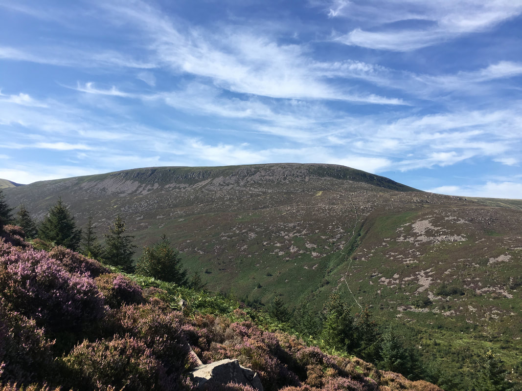
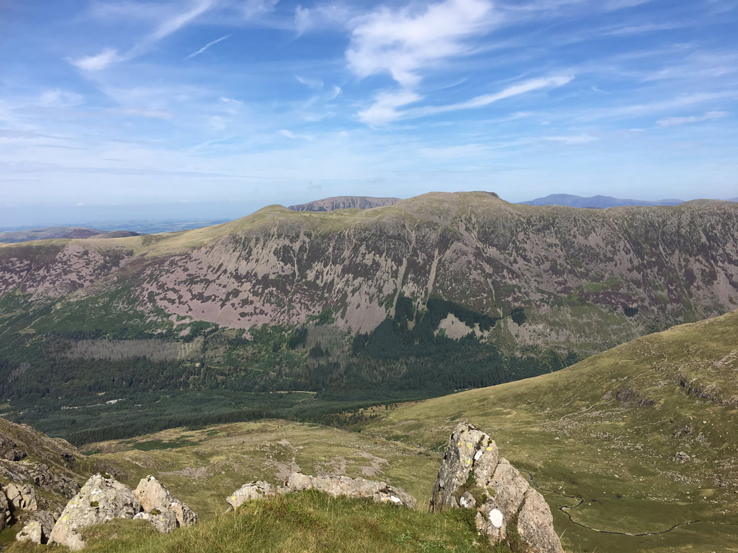
The huge bulk of Iron Crag across Deep Gill
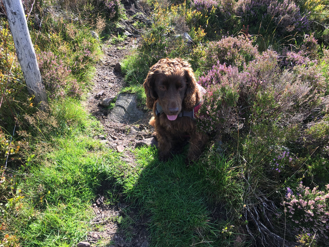
As usual Fudge was way ahead of everybody else as we huffed & puffed through Ling Mell Plantation
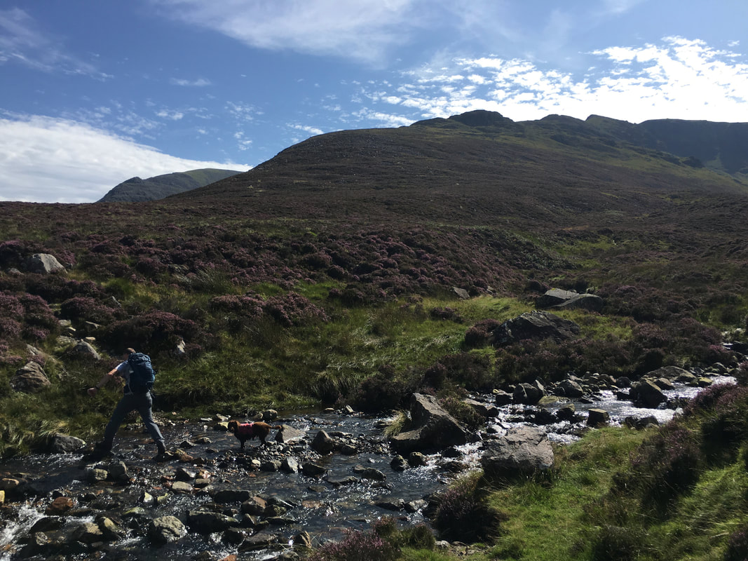
Crossing Low Beck. Once over the beck the route heads to the base of Long Crag ahead to join Steeple's north ridge. Steeple's summit is to the right with White Pike on Pillar to the left. Scoat Fell is to the far right.
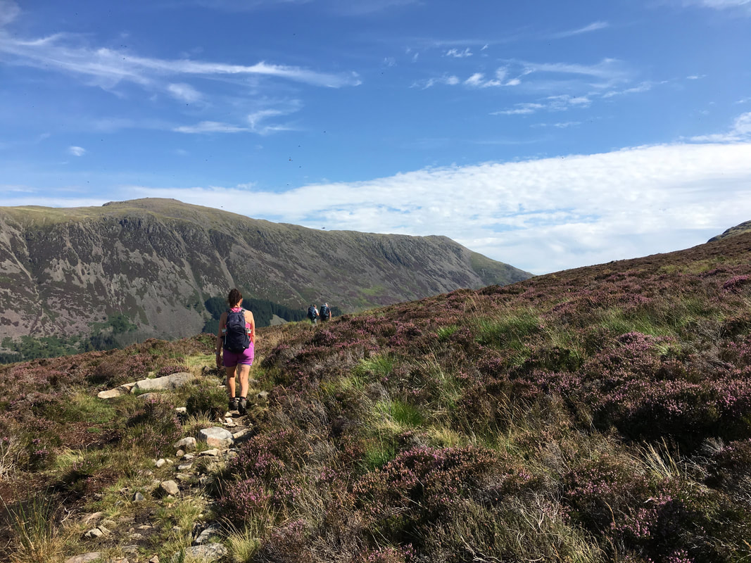
Heading for Long Crag with High Stile & High Crag ahead
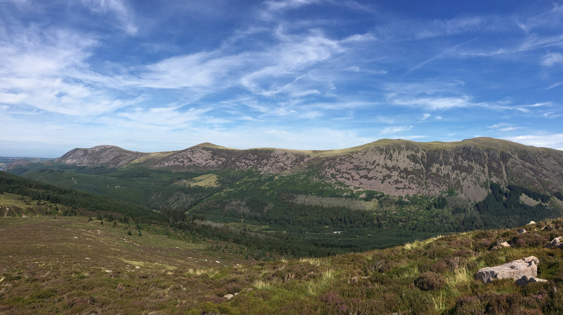
A panorama of the High Stile ridge across Ennerdale. Walking end to end from Seat to Herdus is a belter of a walk
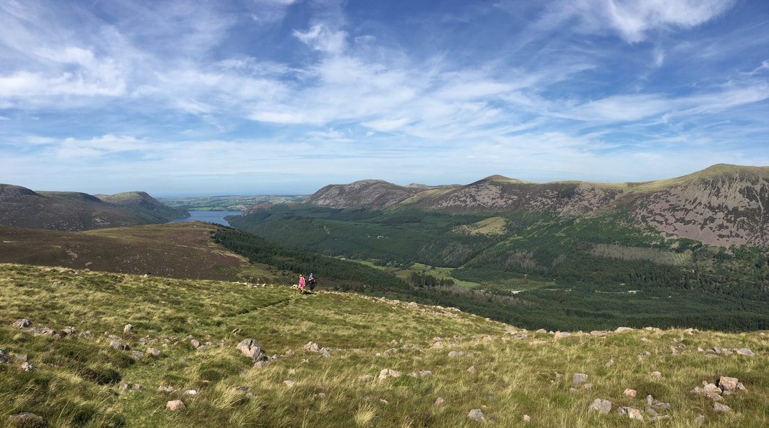
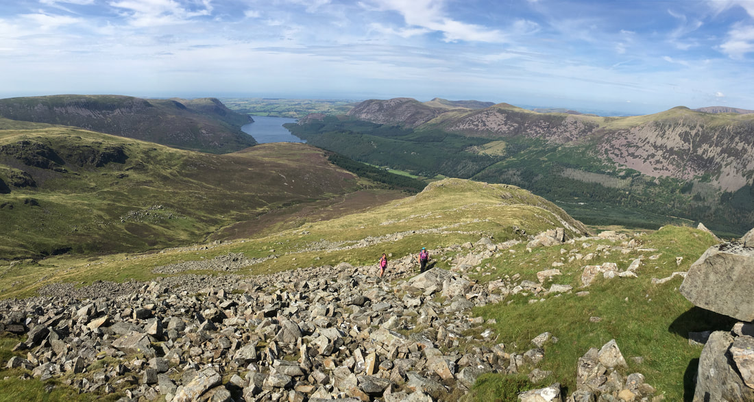
Looking back down Ennerdale from the base of Long Crag
Red Pike, High Stile & High Crag to the left with White Pike & Pillar to the right
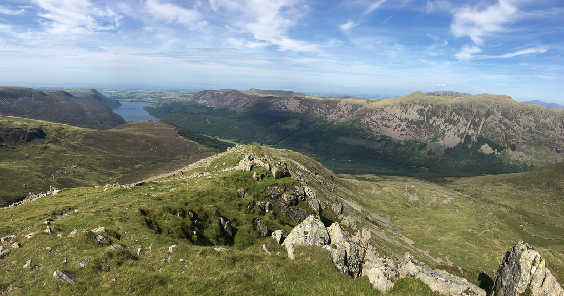
Ascending the north ridge of Steeple via Long Crag - what a fantastic view that is looking all the way down Ennerdale
The ascent of Long Crag gives great views - here we are looking to Pillar, Windgap Cove, Wind Gap, Black Crag & Mirk Cove
The High Stile Ridge from Long Crag with Grasmoor peeping out back left. In the foreground is Pillar's north west ridge which leads to White Pike. I have not done the White Pike ascent of Pillar yet but it looks an enjoyable way up the mountain.
Continuing our ascent up Steeple's north ridge
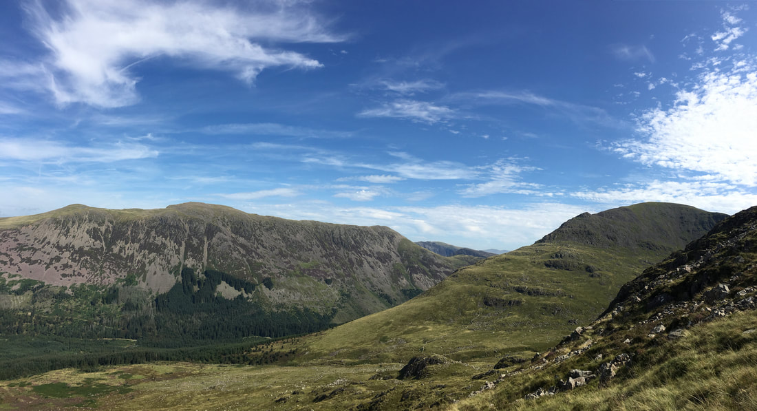
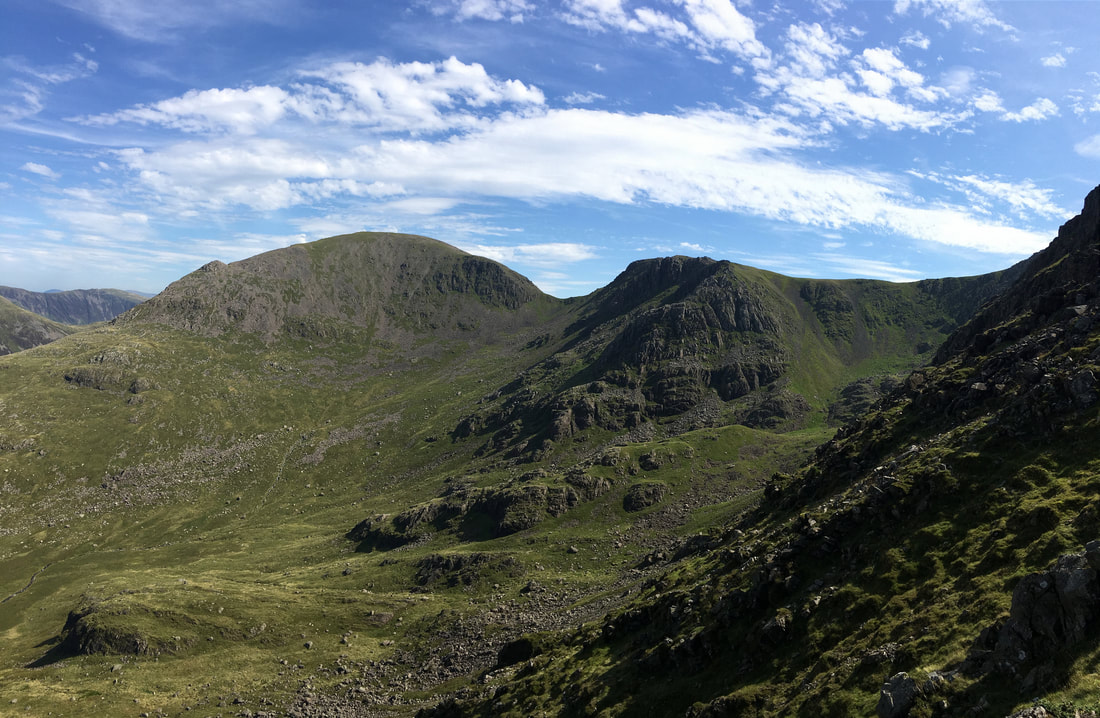
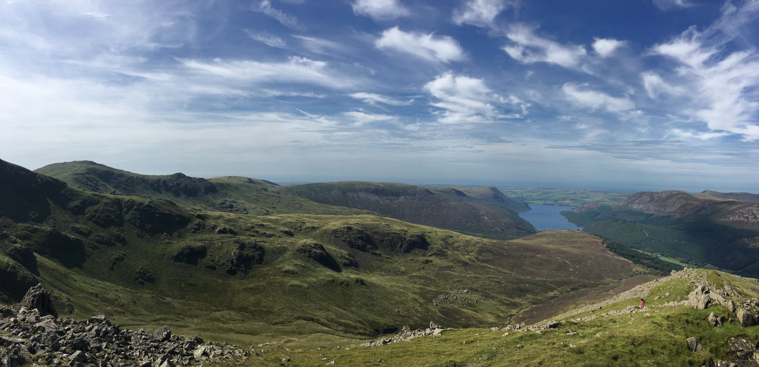
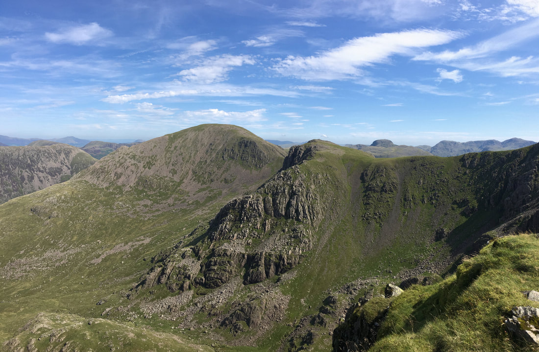
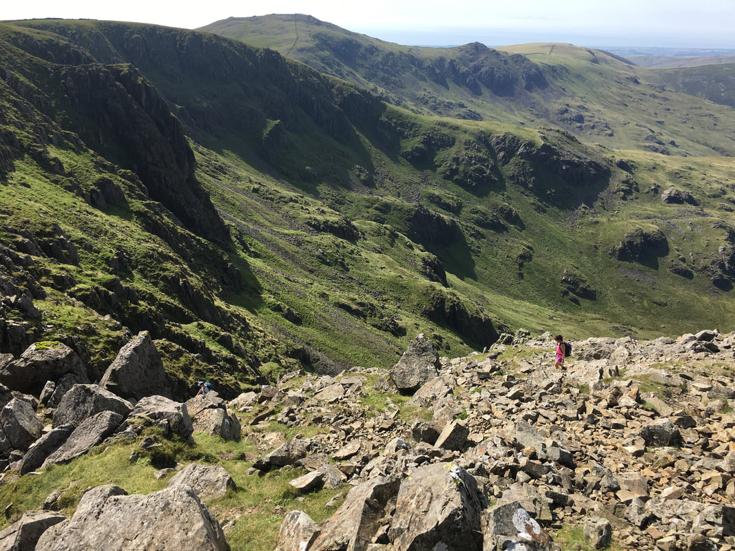
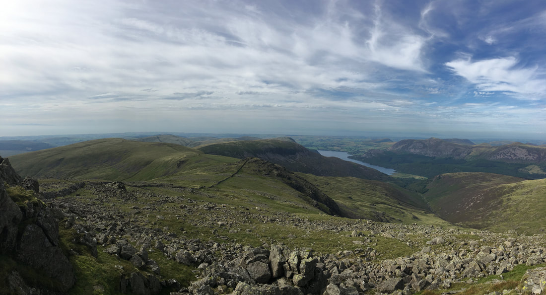
Over to the right was our return route back to Ennerdale. Mirkiln Cove with the Tewit How ridge behind and from the left Haycock, Little Gowder Crag & Caw Fell. Iron Crag sits in the centre of shot.
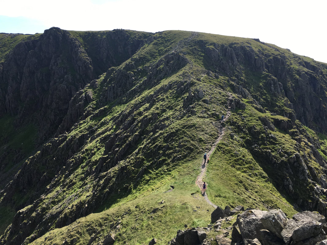
We are about half way up to the summit of Steeple at this stage. From the base of Long Crag the route up the north ridge of Steeple looks precipitous but as you can see it is a delightful amble over grass with the odd rocky section.
A closer look at Pillar, Wind Gap & Black Crag. Pillar is one of my favourite mountains - it has the lot.
The final section of the ascent up Steeple's north ridge with the summit now visible. This is one of those ascents you don't want to end.
Grasmoor now daring to show a bit more of itself over the High Stile ridge. Skiddaw is in the far distance to the right.
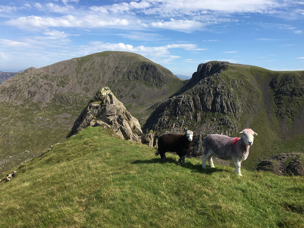
A Herdwick outing as we near Steeple's summit. The lamb looks like it has dark rimmed glasses on.
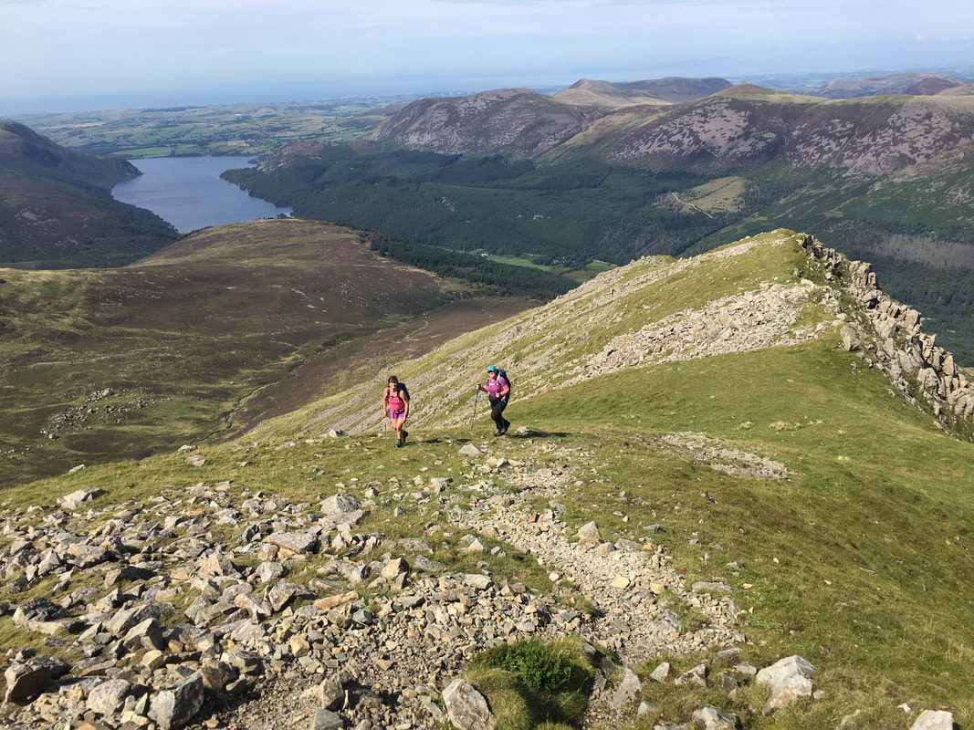
Deborah & Angie ascending the final section of the north ridge
Near the summit the pudding shape of Great Gable is now visible as well as the Scafells
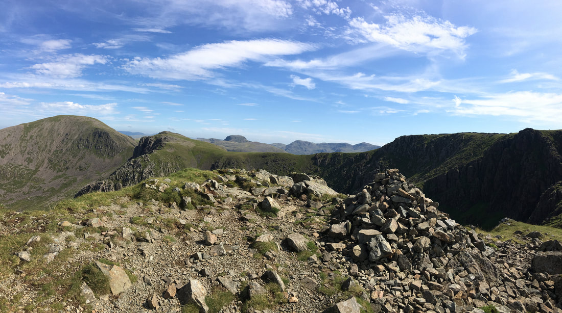
The summit of Steeple - one of my favourite climbs from any direction
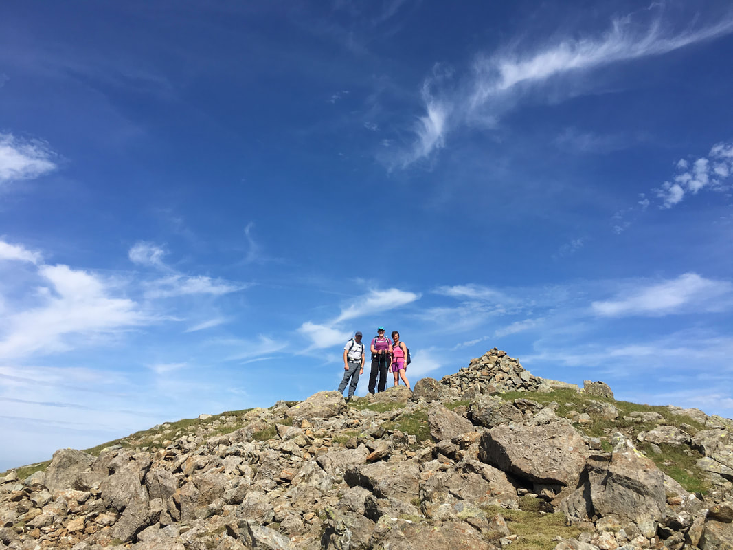
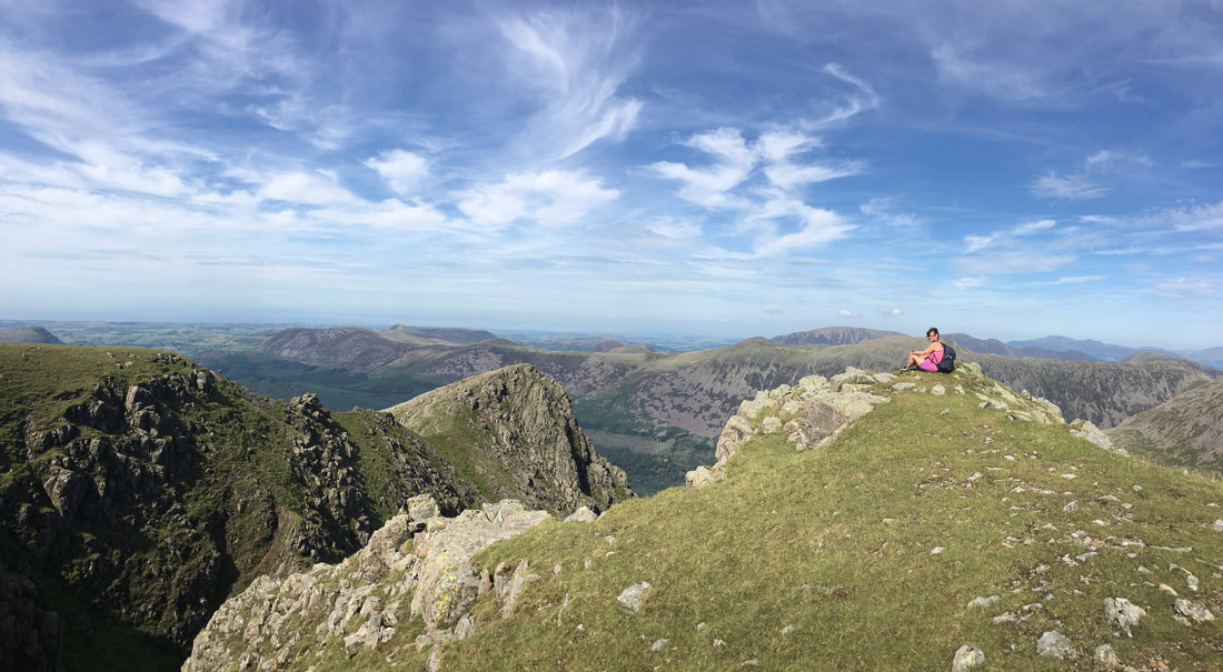
My walking companions on the summit of Steeple - Colin, Angie & Deborah. Fudge was clearly arsing about behind the cairn.
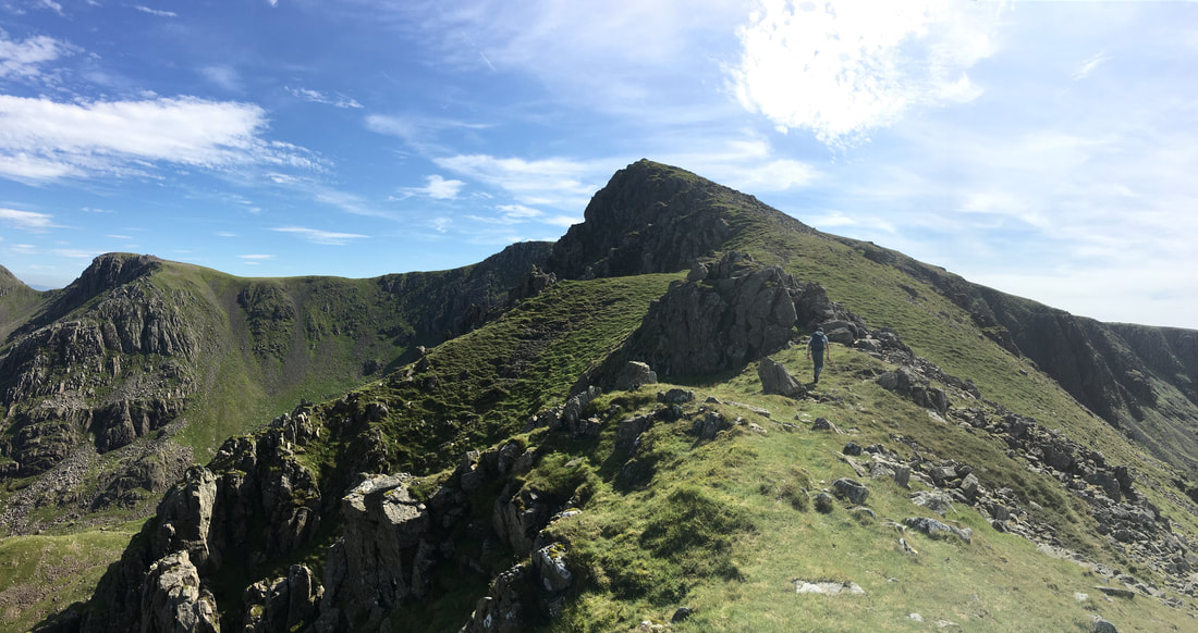
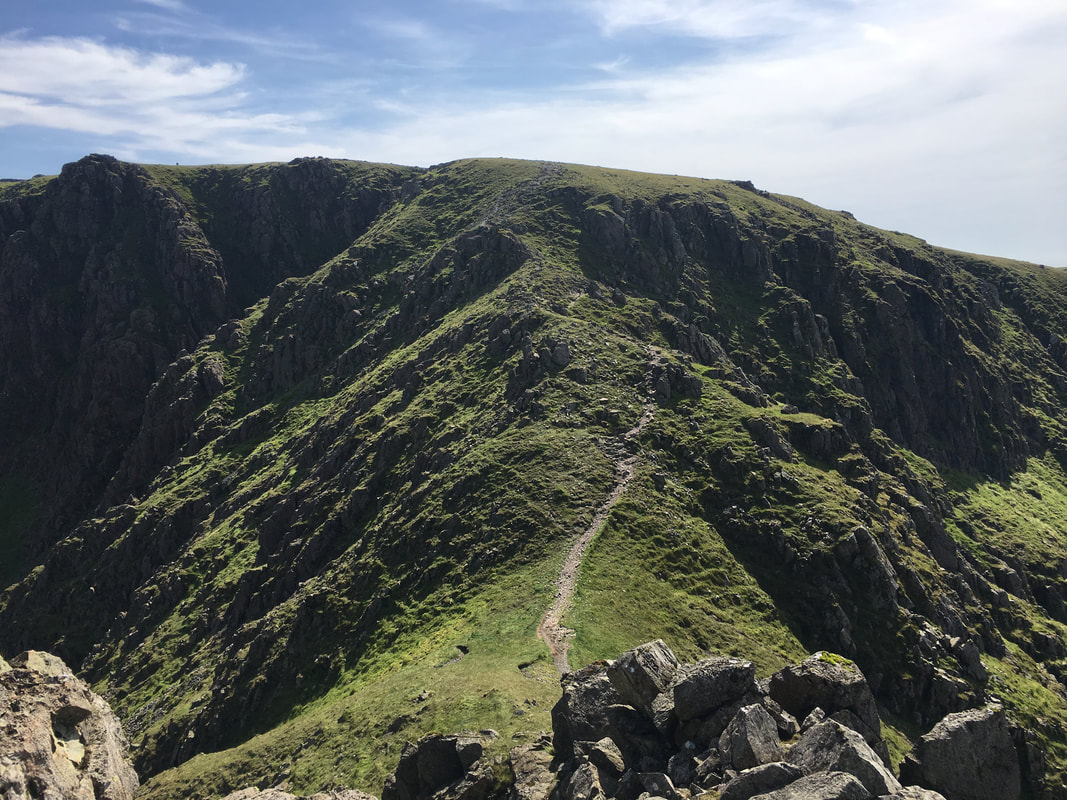
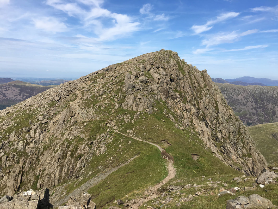
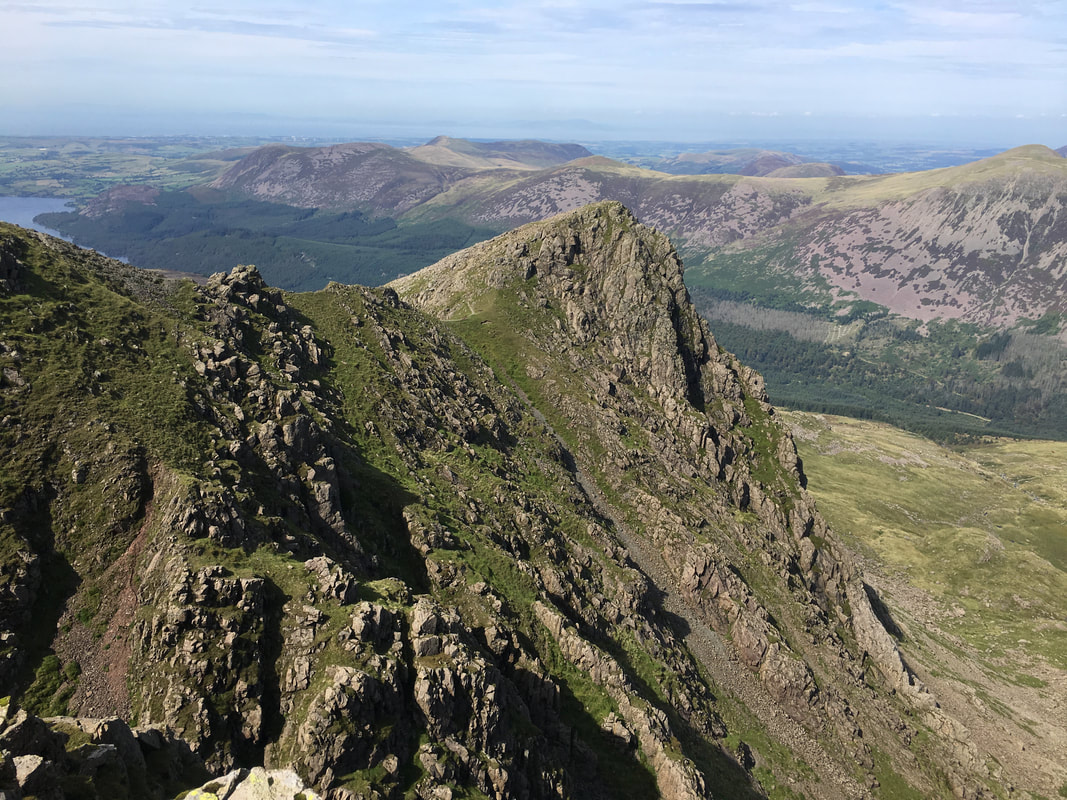
The transit to Scoat Fell from Steeple. It looks scary but it isn't to be honest - just take your time. Wainwright described the journey over to Scoat Fell from Steeple thus - "Every step is a joy" (Steeple 6)
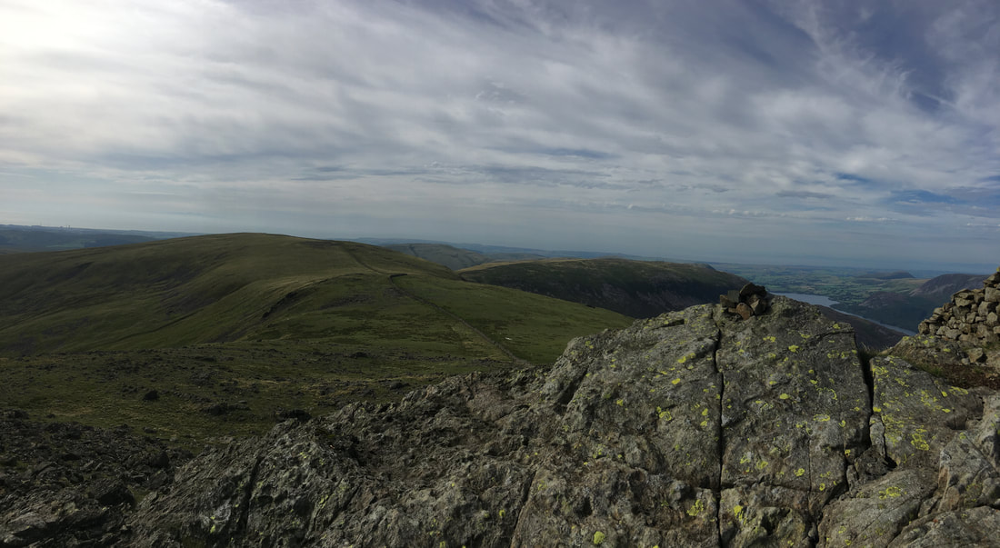
Mirkiln Cove, Haycock, Little Gowder Crag & Caw Fell from Steeple
My walking companions make their way over to Scoat Fell whilst I hang about on the summit to capture the shot.
Looking back to Steeple from the midway point to Scoat Fell
Colin's now famous "leg pose" as he looks to Steeple from Scoat Fell
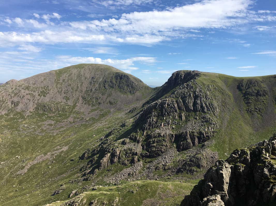
Steeple across Mirk Cove - I've been here loads of times and this view still takes my breath away.
Pillar from Scoat Fell
Aye not a bad day out - and not a soul around despite it being Bank Holiday Saturday
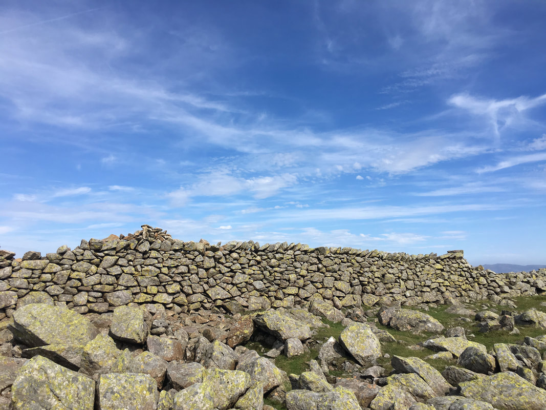
The wall running across the top of Scoat Fell is known as the Ennerdale Fence wall and the summit is marked by a small cairn on the top of it
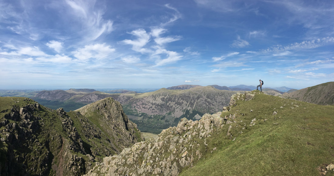
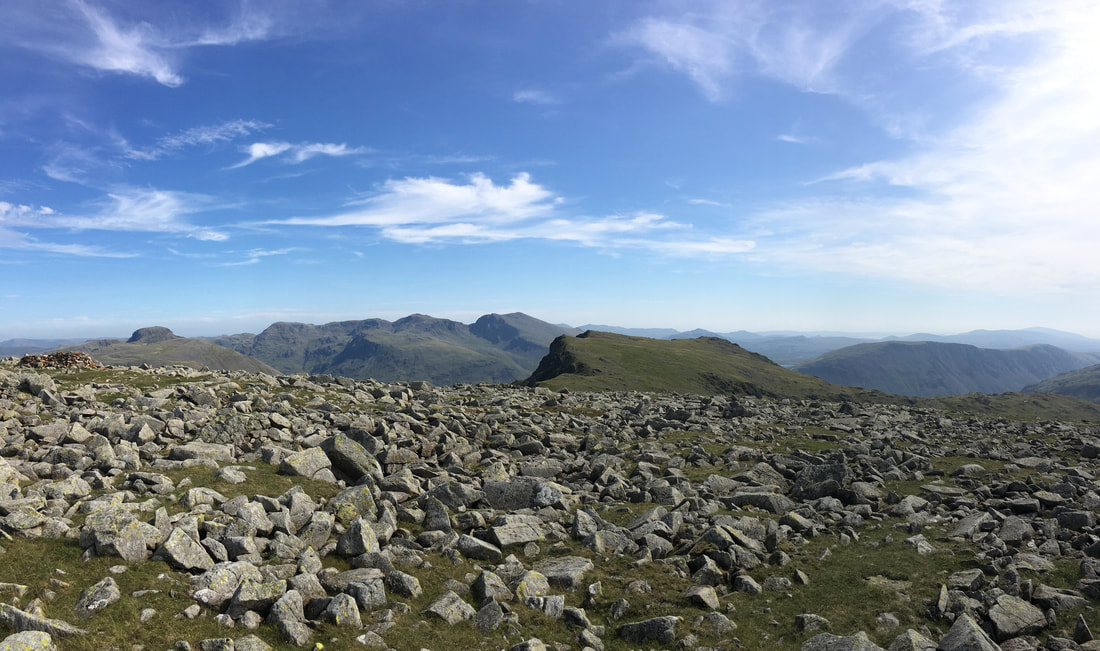
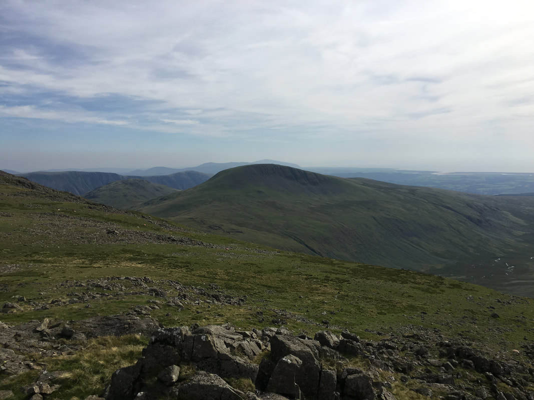
Cracking view over to Great Gable, Kirk Fell, The Scafells & the Coniston Fells. The fell in the centre right foreground is Red Pike with Illgill Head and Whin Rigg over to the right.
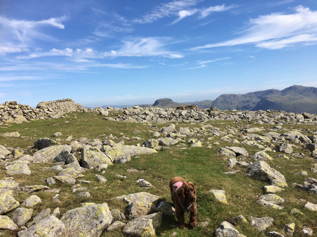
Fudge as usual just wanted to crack on and always grows bored very easily when we either chat or take photographs.
From Scoat Fell we were now off to Haycock which is ahead
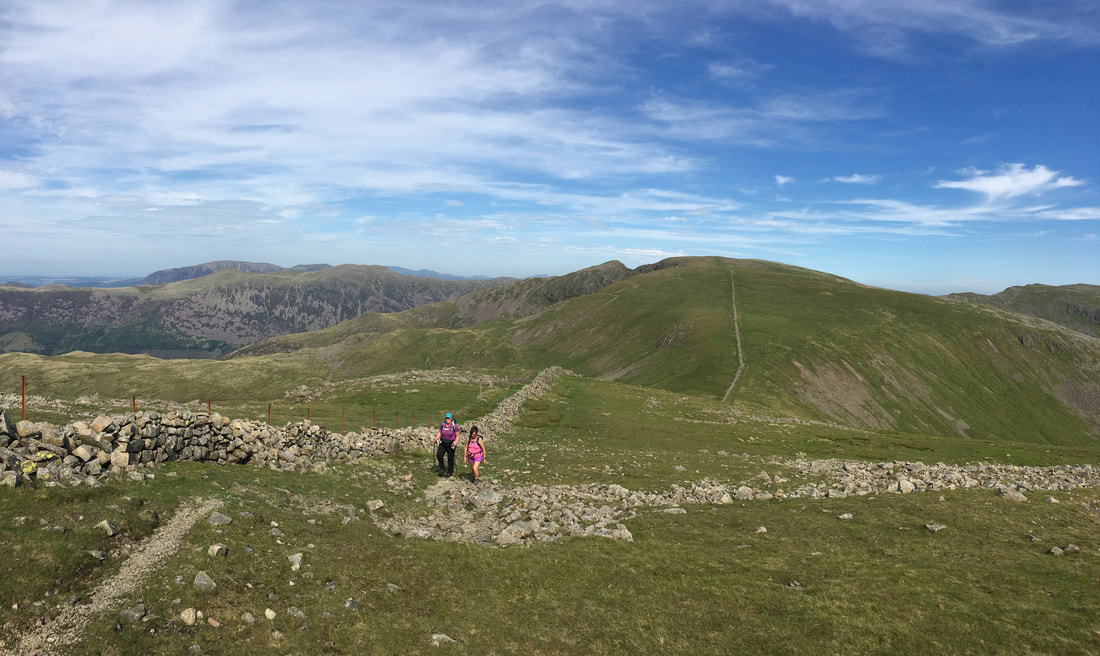
The col between Scoat Fell & Haycock. The path that Fudge thinks we are taking is the one coming up from Netherbeck Bridge in Wasdale.
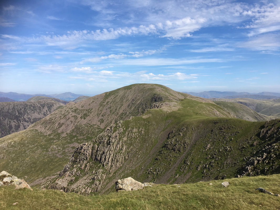
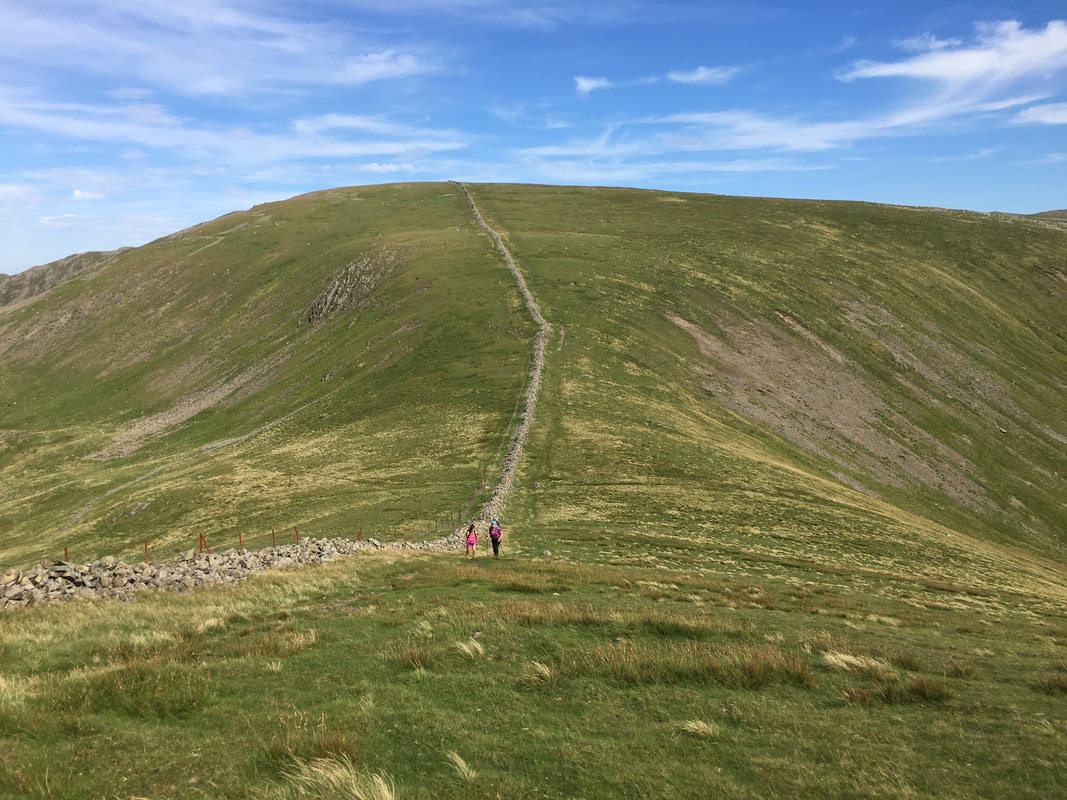
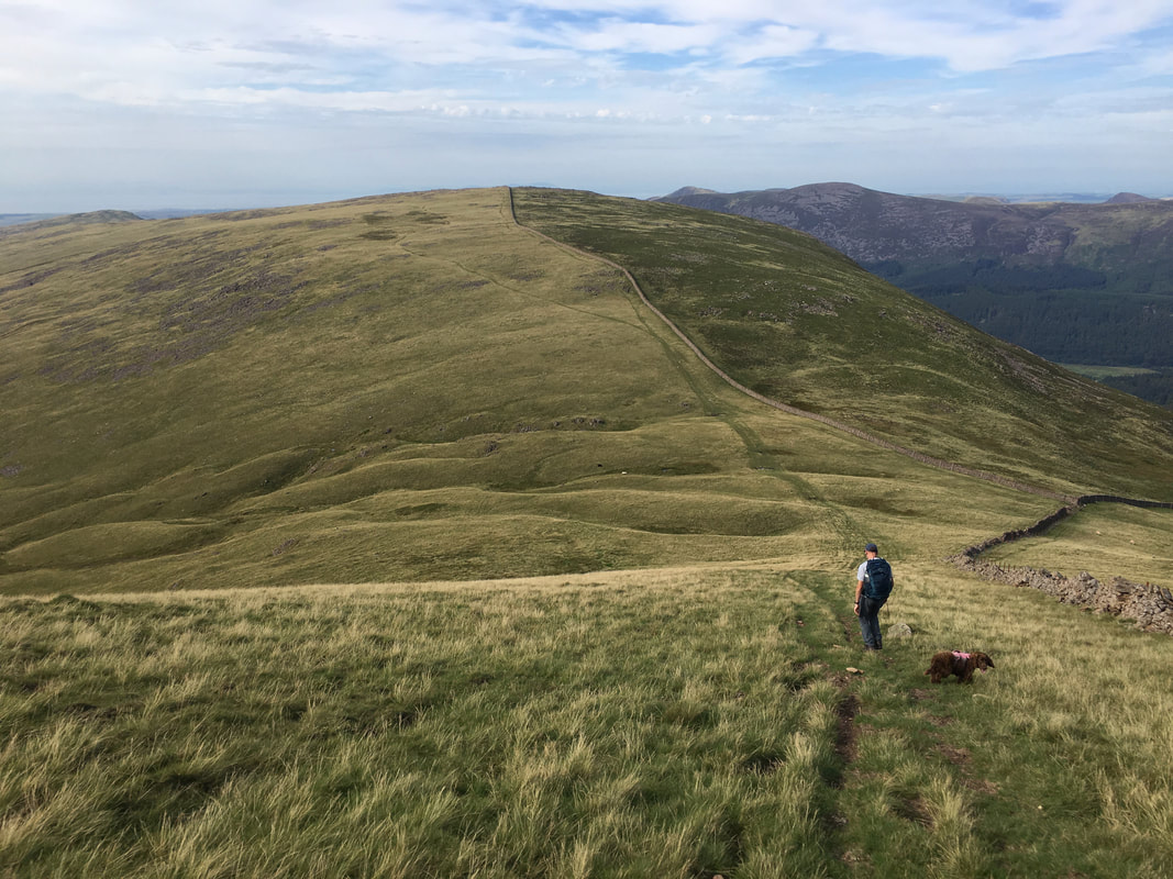
Scoat Fell from the ascent of Haycock. The path to the left leads back to Ennerdale via Tewit How.
Red Pike, The Scafells & Yewbarrow from the ascent of Haycock
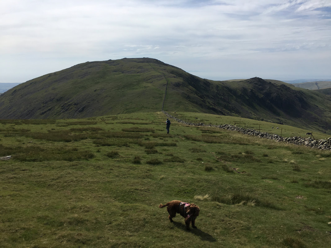
Almost on Haycock's summit - although it looks a tough ascent from the col below t is gradual enough.
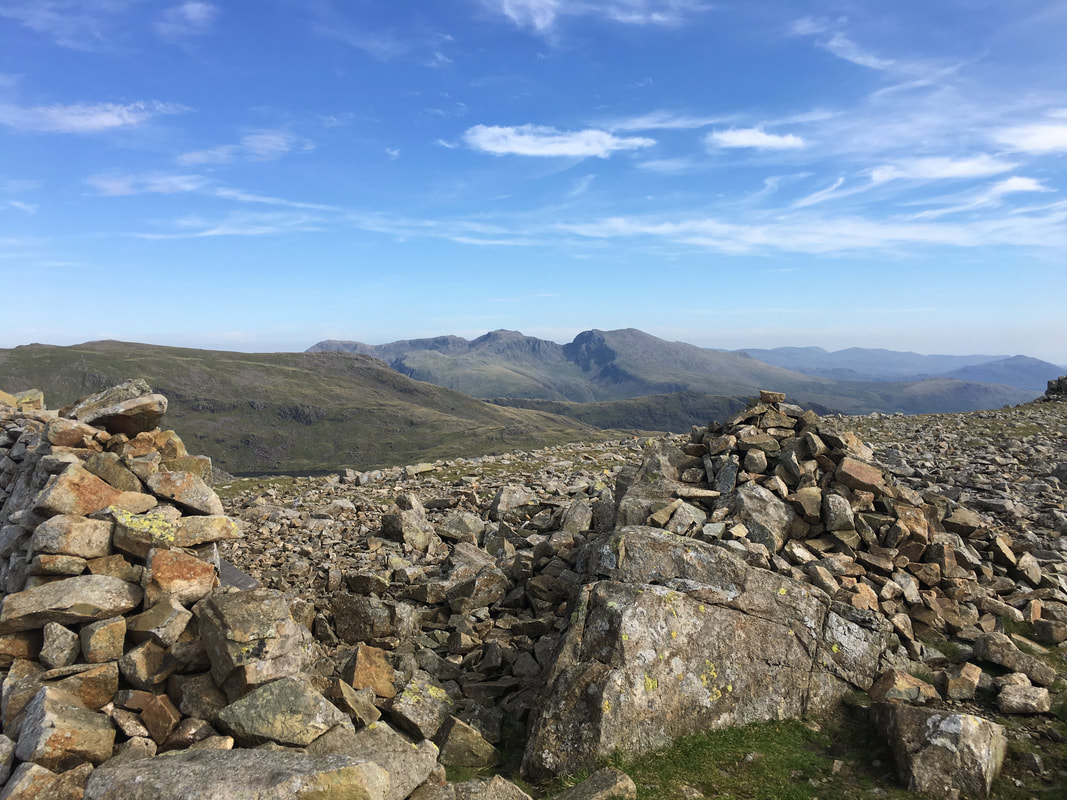
The summit of Haycock. The top is extremely rocky with several cairns and a large wind shelter.
Our route over to Little Gowder Crag & onwards to Caw Fell
The lovely top of Little Gowder Crag.................
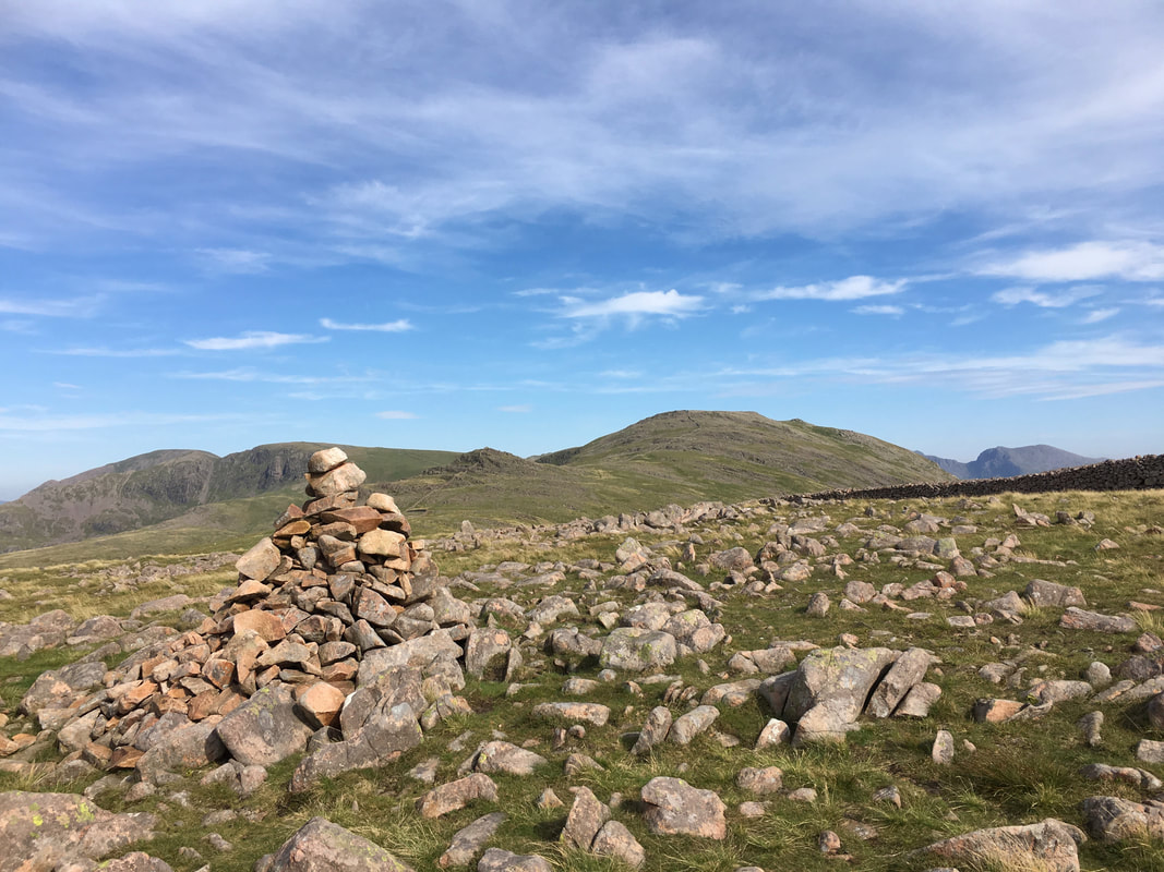
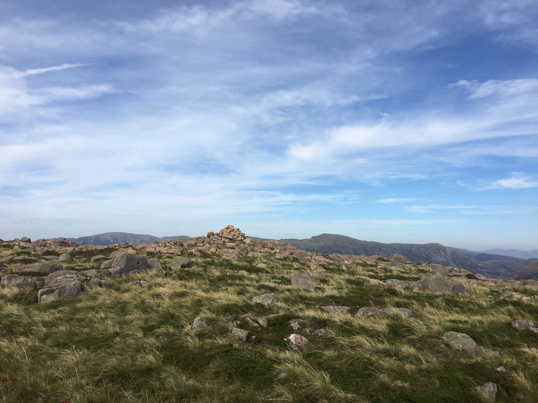
..... and here are the few stones that make up the summit cairn.
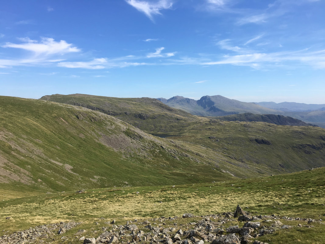
Seatallan centre with Middle Fell to the left and Whin Rigg & Illgill Head to the rear
Looking back to Haycock from Little Gowder Crag
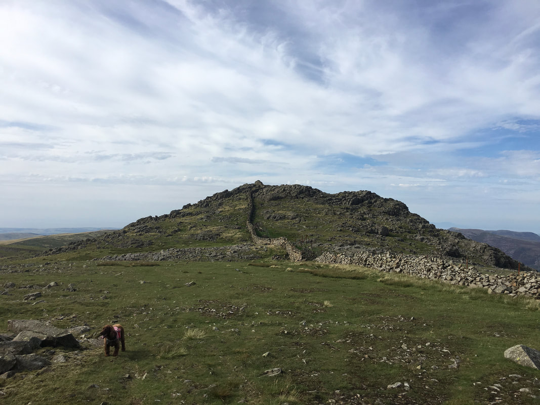
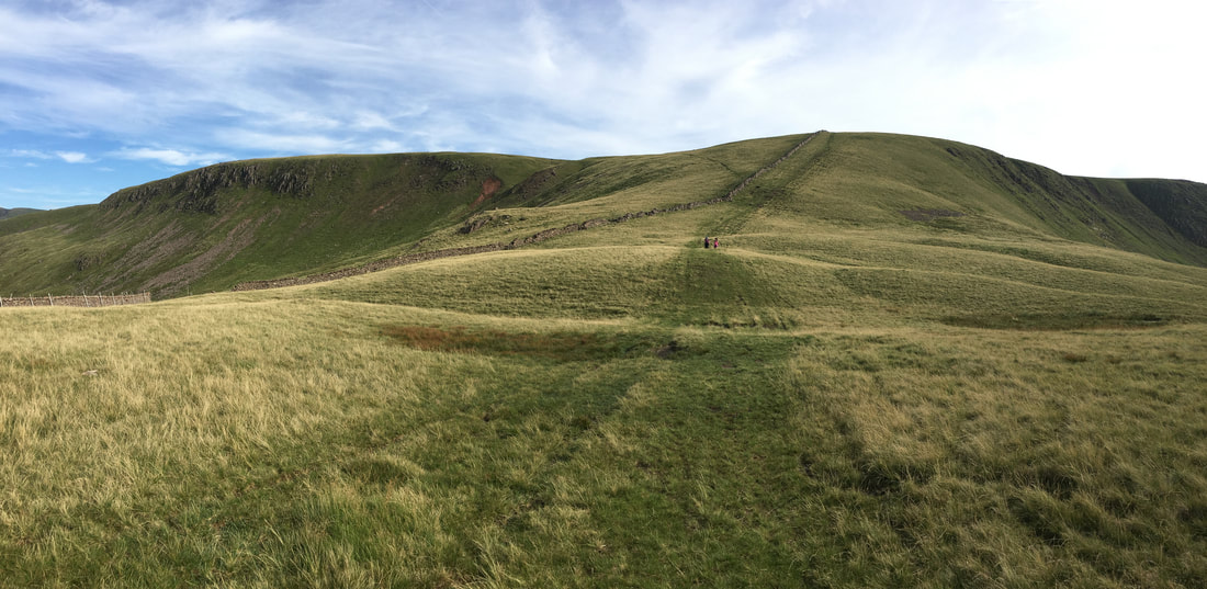
Little Gowder Crag from below. As can be seen, the Ennerdale Fence wall goes right through the middle.
Looking back to Haycock from the ascent of Caw Fell
The summit of Caw Fell. The fell area is huge - approximately 10 square miles. Wainwright said of Caw Fell - "An exhausted walker on Caw Fell is in bad trouble. The miles to safety are long and lonely and the surrounding rivers run wide and fast, unbridged" (Caw Fell 3)
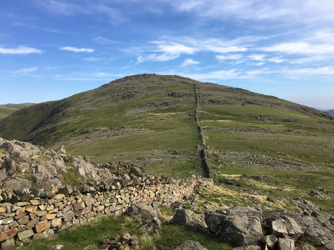
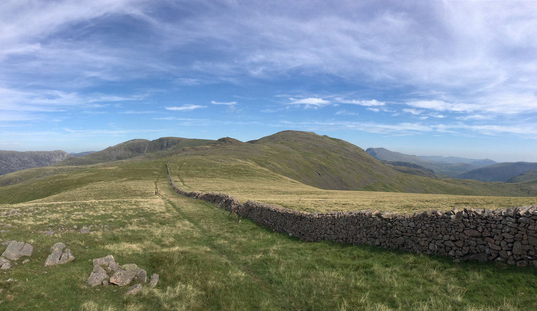
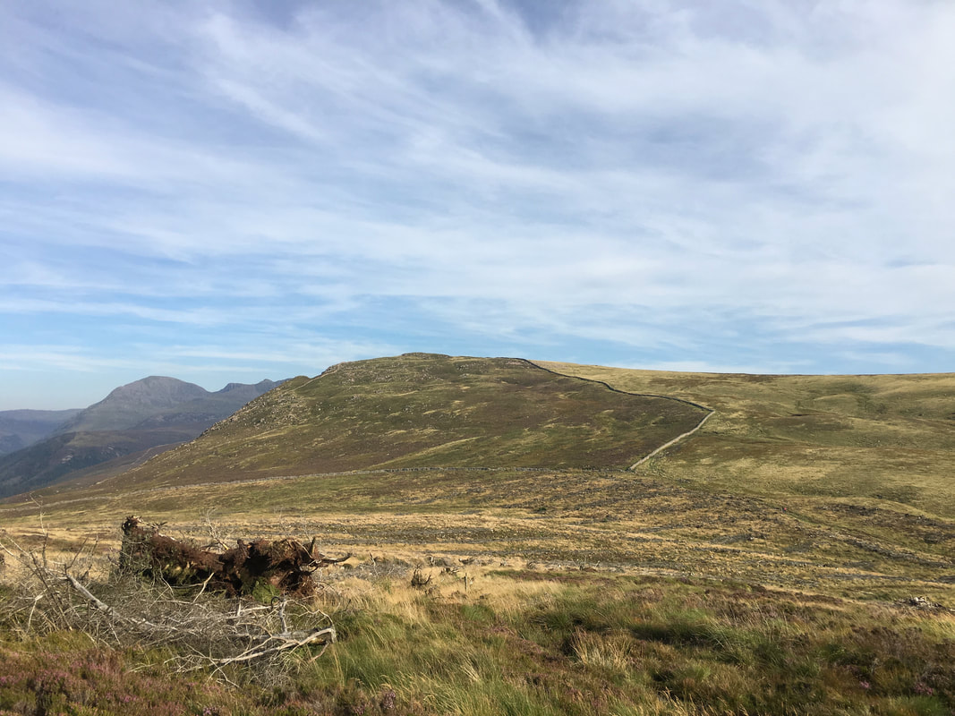
From Caw Fell it was a long, long way to our next objective of Crag Fell - a distance of 3.5 miles. To compensate for this long trek, the terrain is over springy turf for the most part and you can be safe in the knowledge that you are very unlikely to bump into anybody else up here. Iron Crag is the fell immediately ahead.
Looking back to Caw Fell from near Iron Crag
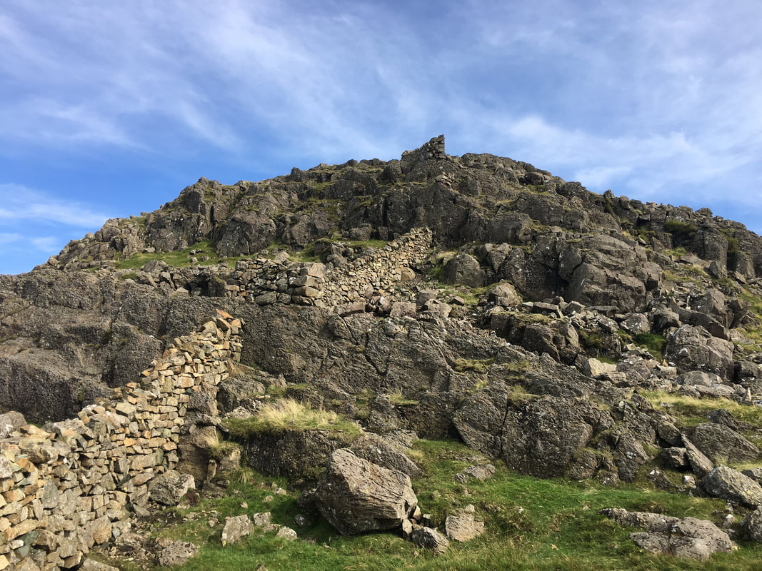
The summit of Iron Crag
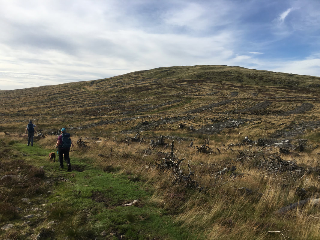
Crag Fell ahead as we walk through the felled plantation near Black Pots
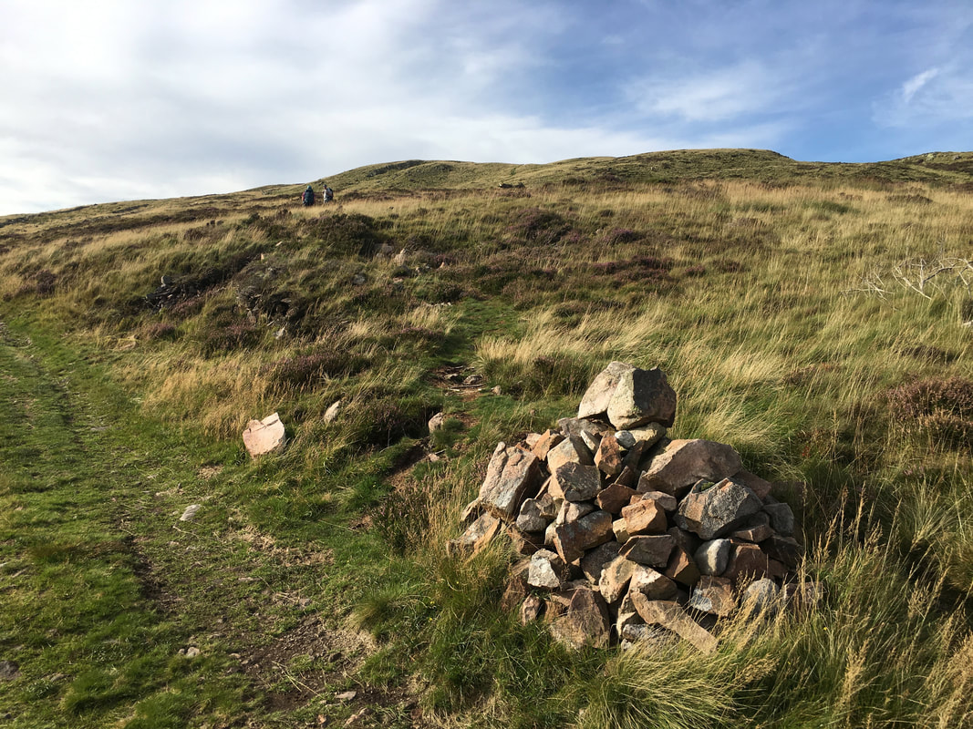
From the plantation exit the route joined the old mine road for 150 yards or so before turning on to the Crag Fell path at this cairn. The old mine road runs from the Cold Fell Road to the old iron ore mine at Red Beck near Boat How.
Iron Crag with Pillar to the left from the Crag Fell ascent. The fell out of shot to the right is Whoap.
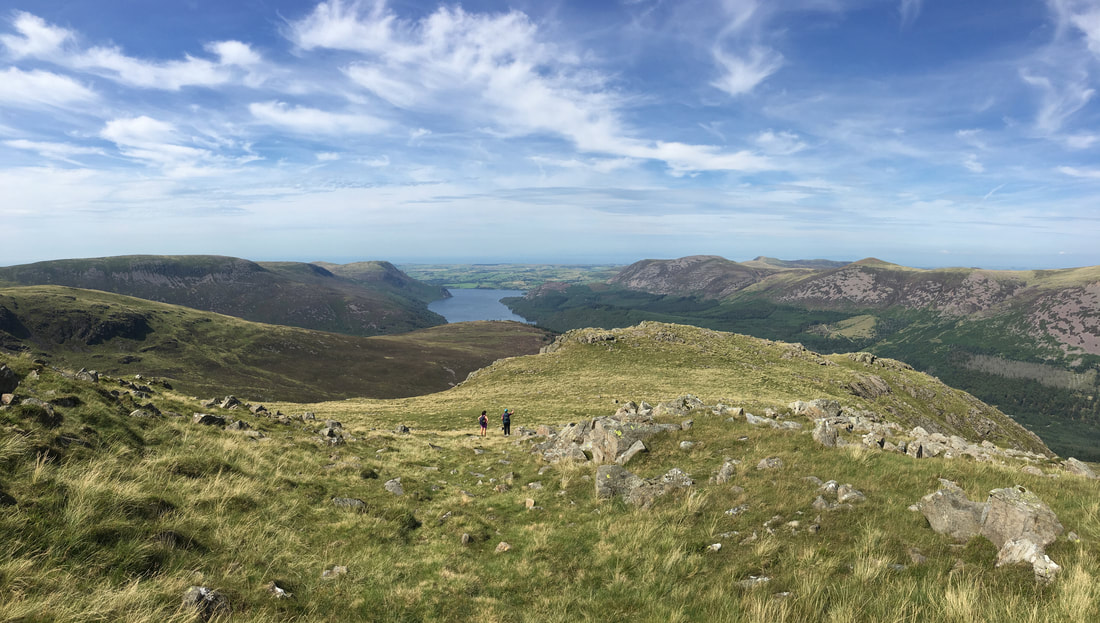
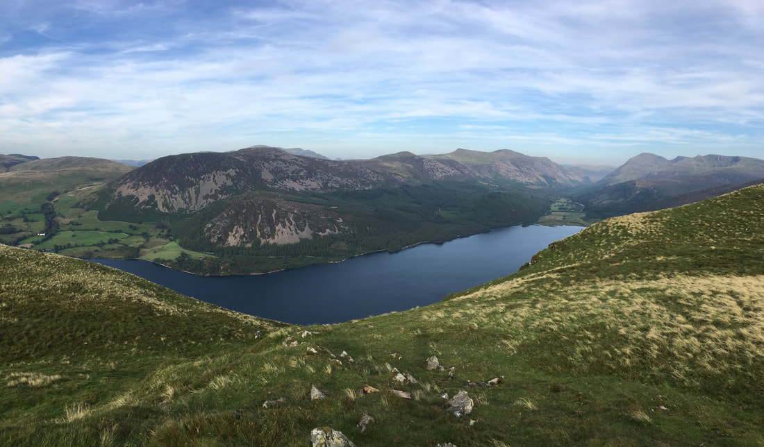
Great Borne & Ennerdale Water from Crag Fell
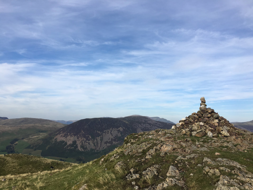
The summit of Crag Fell
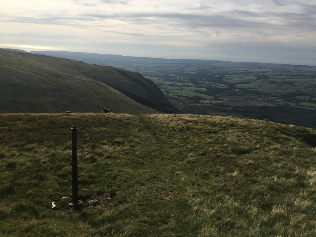
Leaving Crag Fell the route now starts to descend steeply as we make our way back to Bleach Green. The post marks a junction of routes - to the left leads to Grike and heading right leads to a grassy rake that will take you over to the Crag Fell Pinnacles.
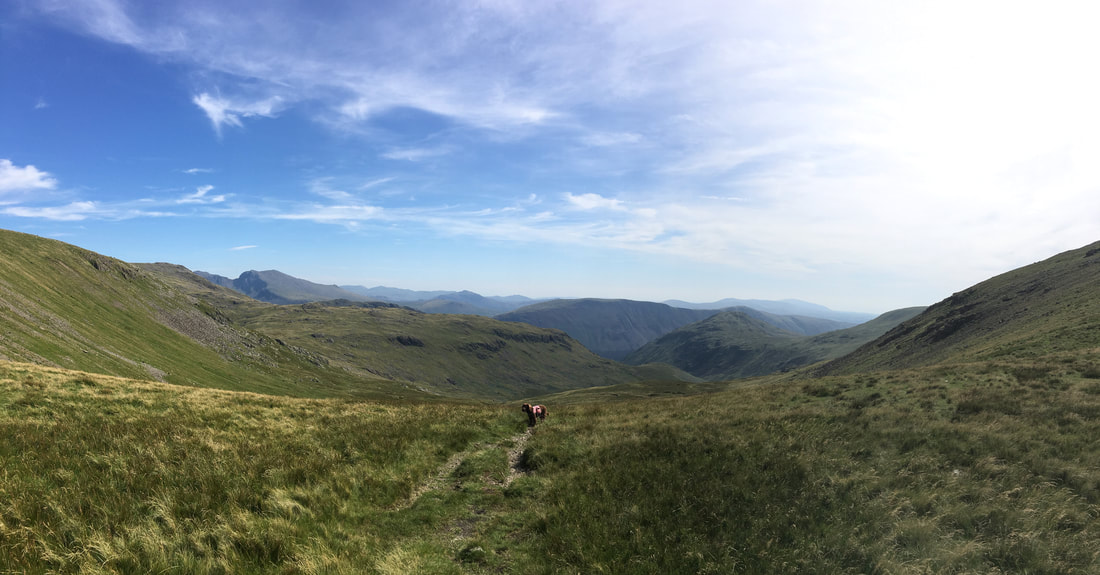
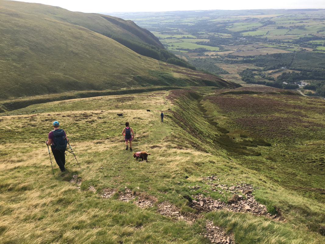
Dropping down steeply towards Ben Gill - despite having done this route a couple of times now it really is one of our favourites. All that was left now in order to top the day off was to enjoy a nice Dinner and a few beers.
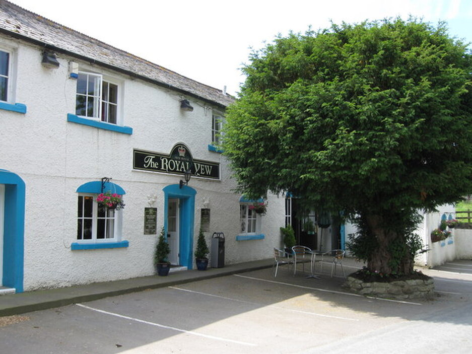
Debrief venue - a cracking Lakeland pub in the small village of Dean with great beer & food
