The Great Ridge from Castleton - Wednesday 14 March 2018
Route
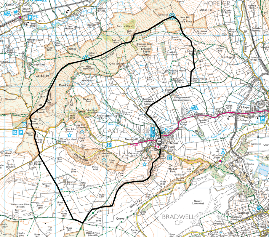
Castleton - Cave Dale - Limestone Way - Mam Tor - Hollins Cross - Back Tor - Lose Hill - Hollowford Road - Castleton
Parking
Plenty of Parking in Castleton (both Free & Charge).
Mileage
8.4 miles
Terrain
Good paths throughout.
Weather
Overcast with some sunny spells during the morning. The wind was extremely strong on the ridge.
Time Taken
4hrs 10mins
Total Ascent
2250ft (747m)
Map
OL24 - The Peak District (White Peak Area)
Walkers
Dave, Angie & Fudge
|
GPX File
|
| ||
If the above GPX file fails to download or presents itself as an XML file once downloaded then please feel free to contact me and I will send you the GPX file via e-mail.
Route Map
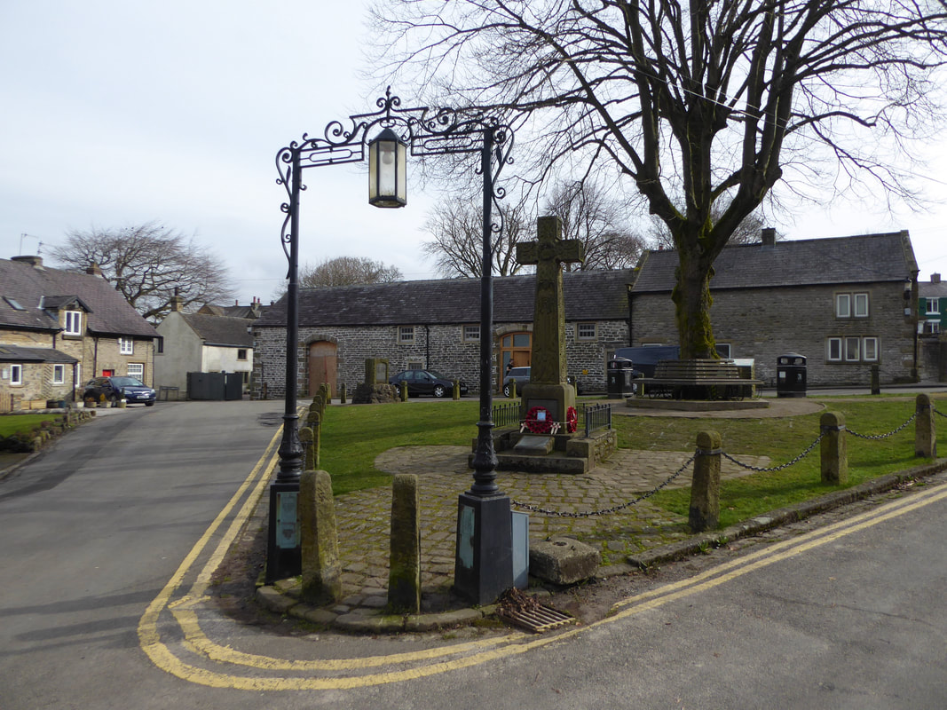
The walk started from the War Memorial in the centre of the delightful village of Castleton
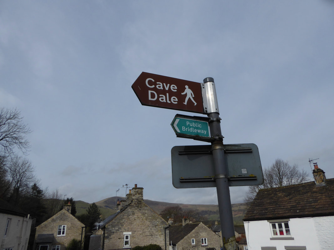
At the southern end of the village green a sign points the way to Cave Dale
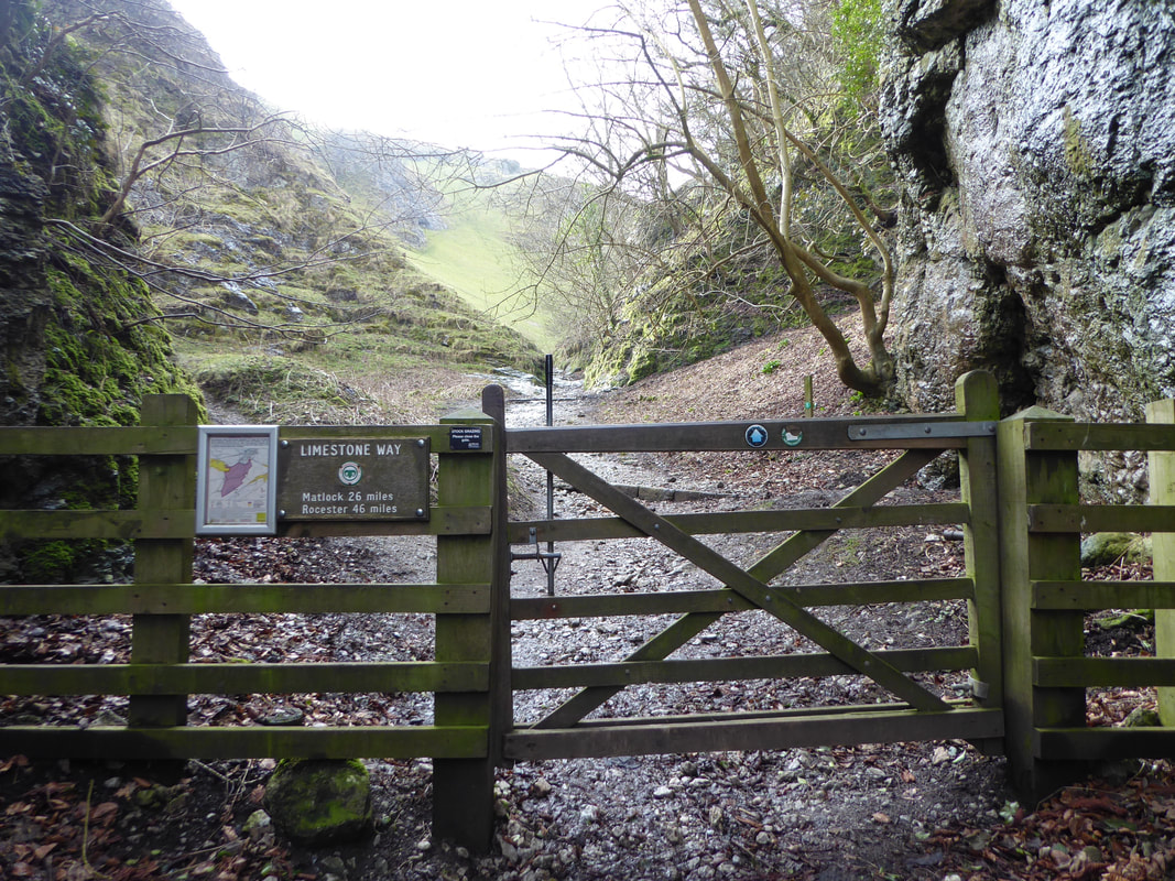
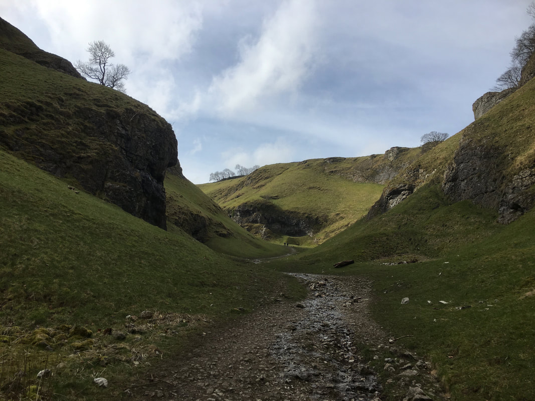
Heading into Cave Dale.
Cave Dale is at the start of The Limestone Way which begins in Castleton and ends up in Rocester some 46 miles away over the Staffordshire border.
Cave Dale is at the start of The Limestone Way which begins in Castleton and ends up in Rocester some 46 miles away over the Staffordshire border.
Cave Dale
Cave Dale is a dry limestone valley with its sides almost perpendicular and over 160ft in height. The dale was formed by glacial meltwater carving a deep narrow valley in the local soluble limestone. The river then found a route underground leaving a dry valley with caverns underneath. Later on the caverns below Cave Dale collapsed making the valley even deeper and gorge-like at the northern end. The Castleton entrance to Cave Dale had a narrow natural arch as recently as 200 years ago, a relic of the roof collapse. The lower slopes of the dale have large amounts of scree, frost on the higher limestone cliffs having caused the rock to shatter.
Cave Dale is a dry limestone valley with its sides almost perpendicular and over 160ft in height. The dale was formed by glacial meltwater carving a deep narrow valley in the local soluble limestone. The river then found a route underground leaving a dry valley with caverns underneath. Later on the caverns below Cave Dale collapsed making the valley even deeper and gorge-like at the northern end. The Castleton entrance to Cave Dale had a narrow natural arch as recently as 200 years ago, a relic of the roof collapse. The lower slopes of the dale have large amounts of scree, frost on the higher limestone cliffs having caused the rock to shatter.
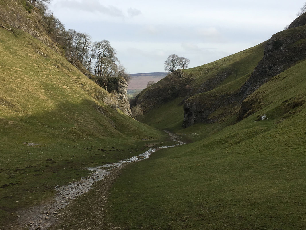
Looking back towards Castleton from Cave Dale.
The path out of the village rises gently through the dale and is a lovely part of the walk.
The path out of the village rises gently through the dale and is a lovely part of the walk.
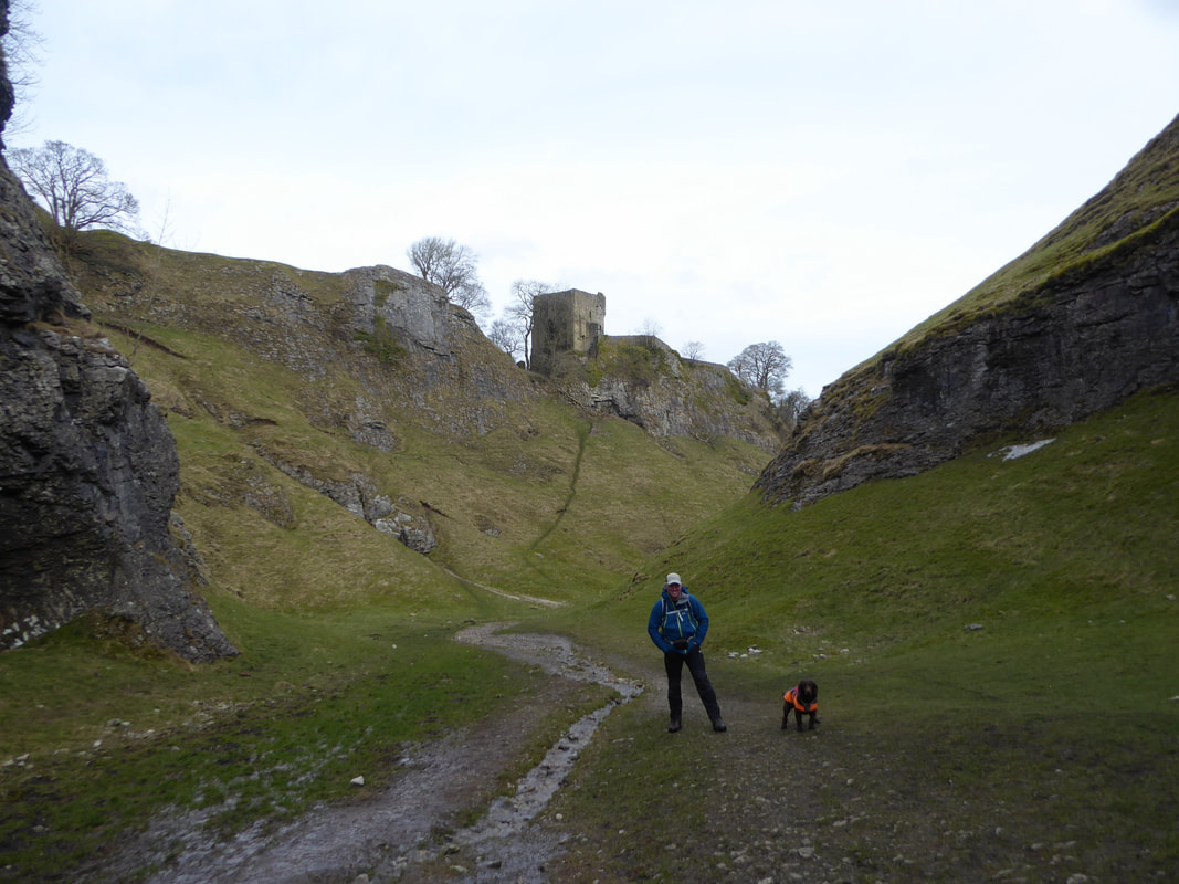
With Fudge in Cave Dale.
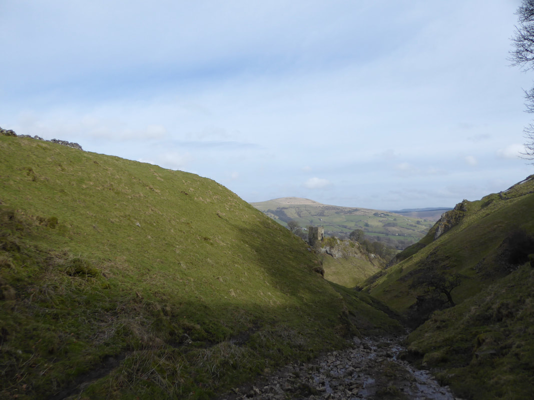
In the background is Peveril Castle. The imposing ruins stand high above Castleton and is mentioned in the Domesday survey. Peveril Castle is one of England's earliest Norman fortresses and the Keep was built by Henry II in 1176.
In the background is Peveril Castle. The imposing ruins stand high above Castleton and is mentioned in the Domesday survey. Peveril Castle is one of England's earliest Norman fortresses and the Keep was built by Henry II in 1176.
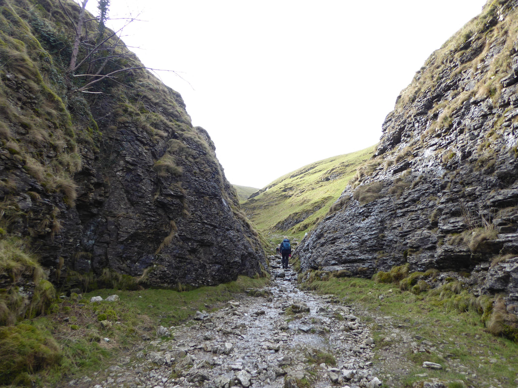
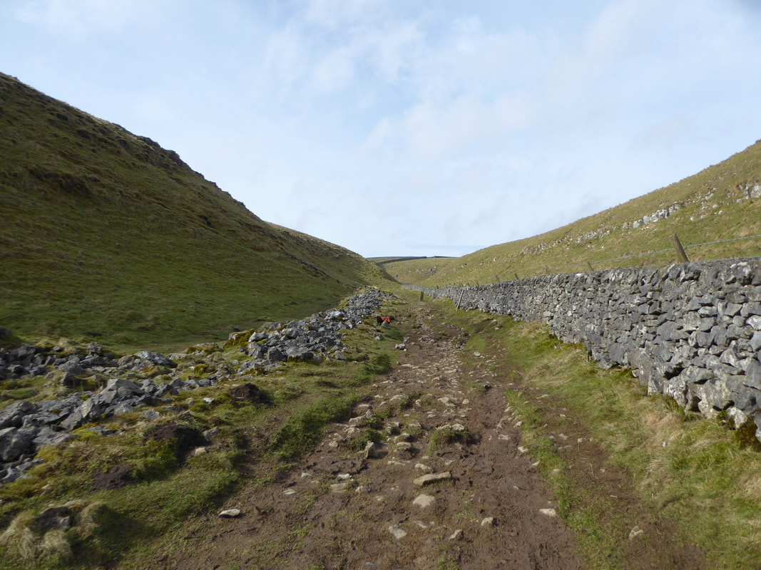
Heading out of Cave Dale - this really is a delightful walk
At the top of Cave Dale Lose Hill comes into view - we would be over there later in the walk
At the top of the gorge the path levels out and continues alongside a wall
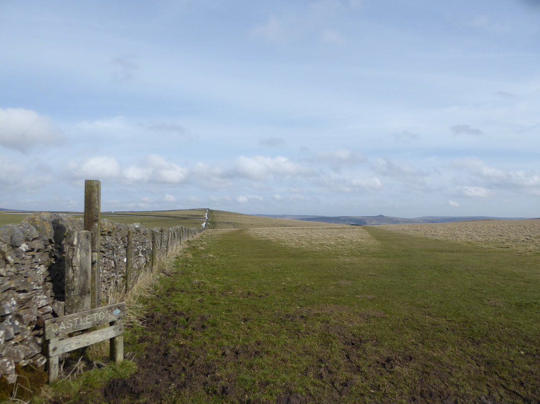
The route continues along the wall and opens out on to fields.
The picture is looking back towards our outward route from Castleton with Win Hill in the far distance to the right.
The picture is looking back towards our outward route from Castleton with Win Hill in the far distance to the right.
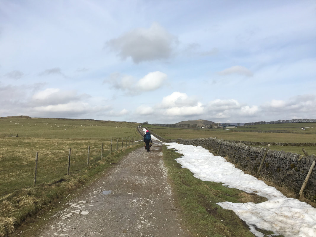
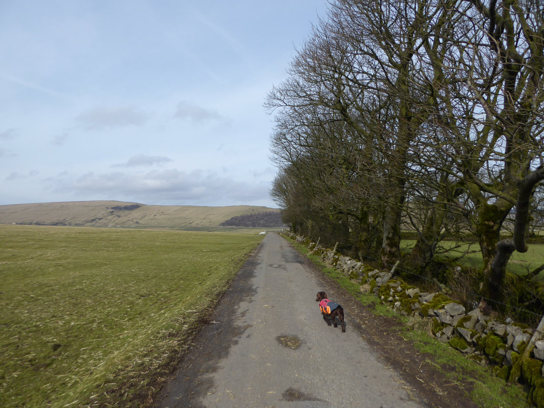
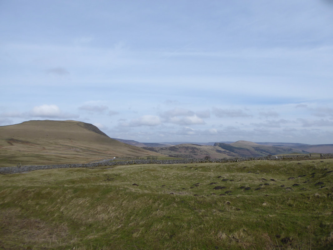
The route leaves the Limestone Way and heads north west along a farm track. Mam Tor comes into view to the right.
Fudge moves up a gear into "trundle mode" as he looks over to Rushup Edge
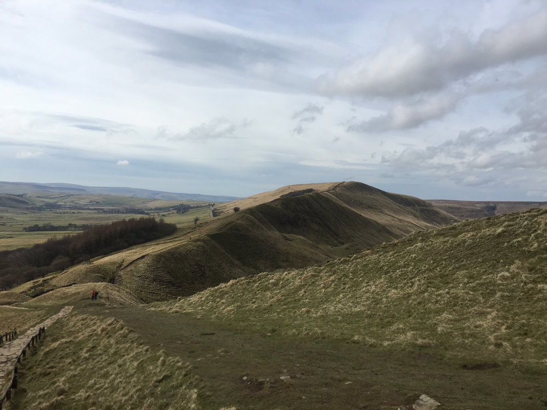
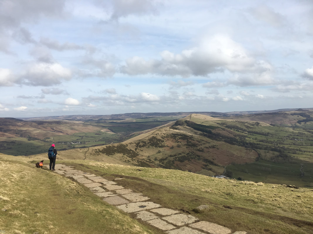
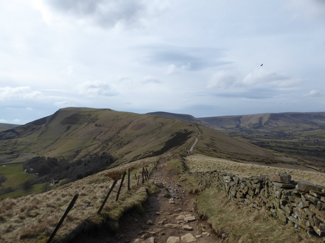
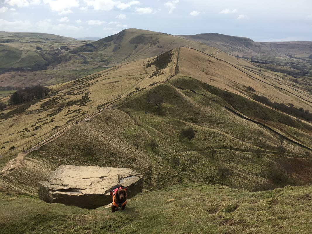
A view of the Great Ridge - left to right Mam Tor, Hollins Cross, Back Tor & Lose Hill
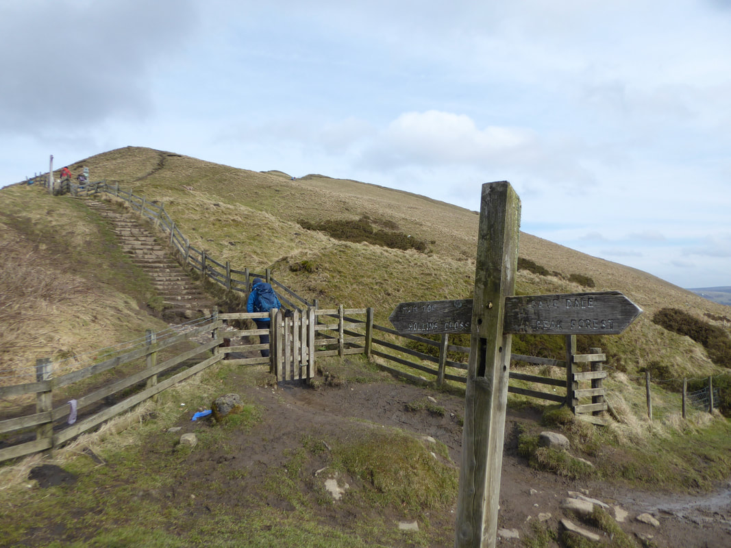
The route crosses the winding road coming up from Edale to join the path up to Mam Tor
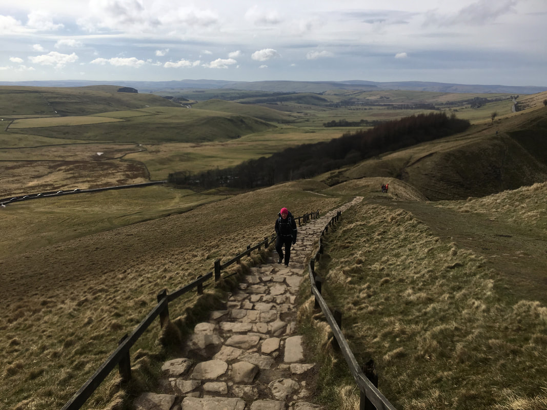
Mrs W chugging up the stairway to Heaven - well, the path up to Mam Tor at least. The slopes of Rushup Edge are to the right.
Rushup Edge
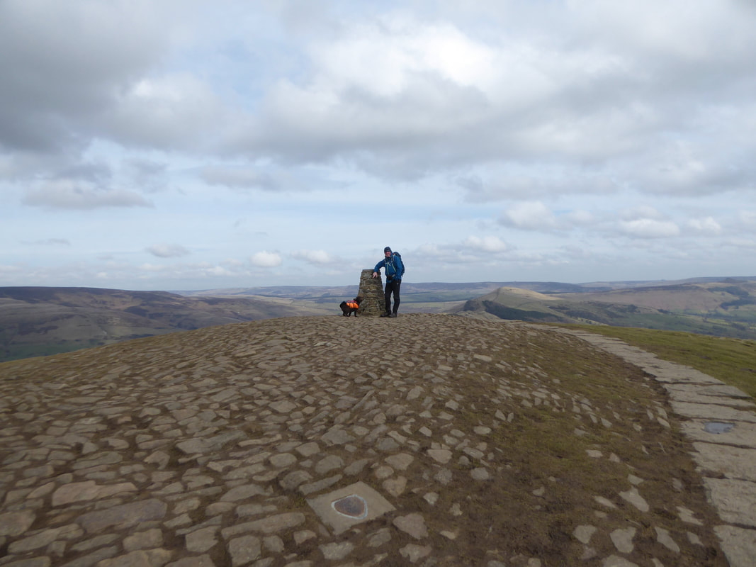
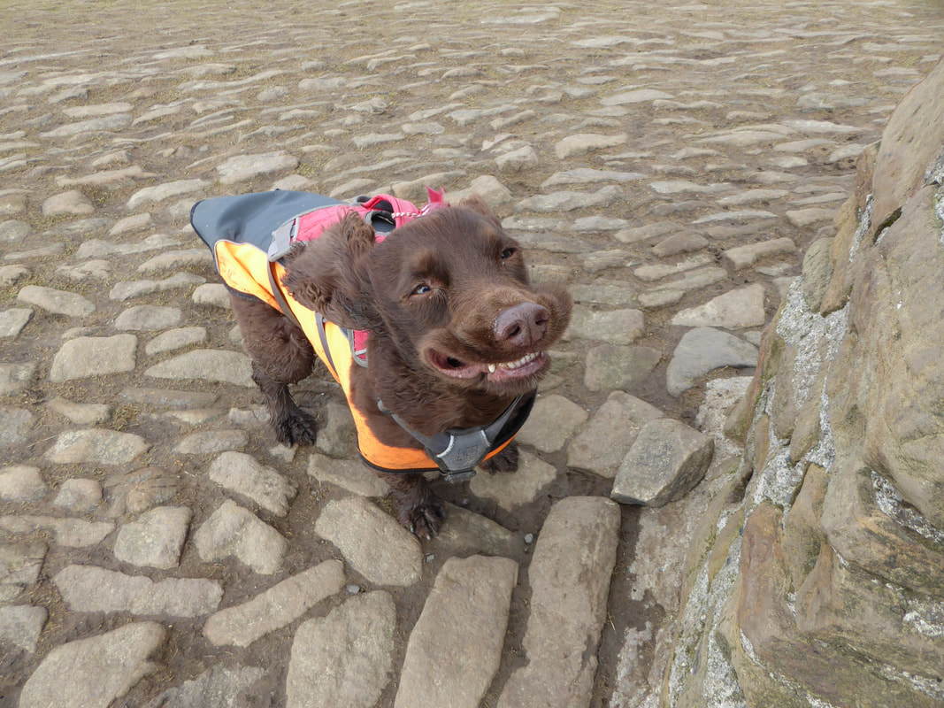
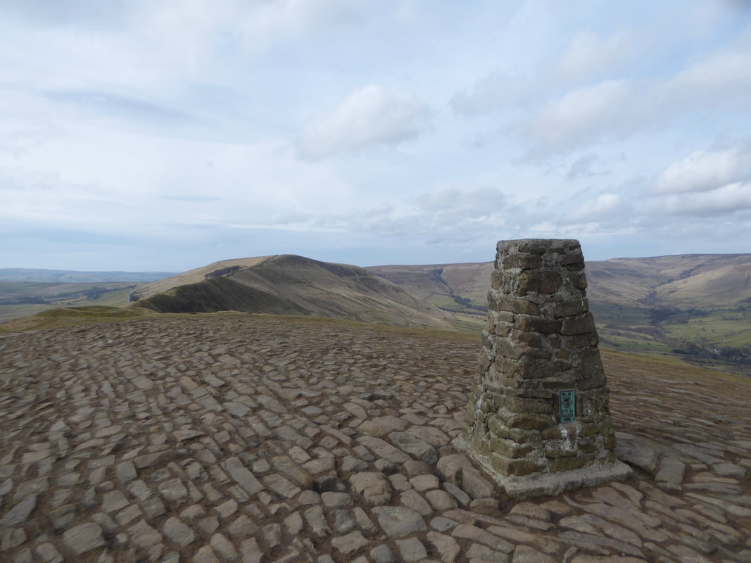
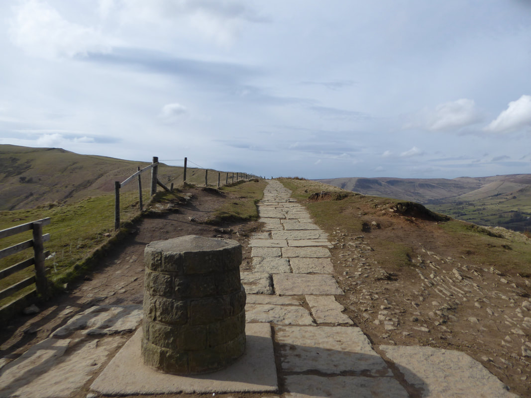
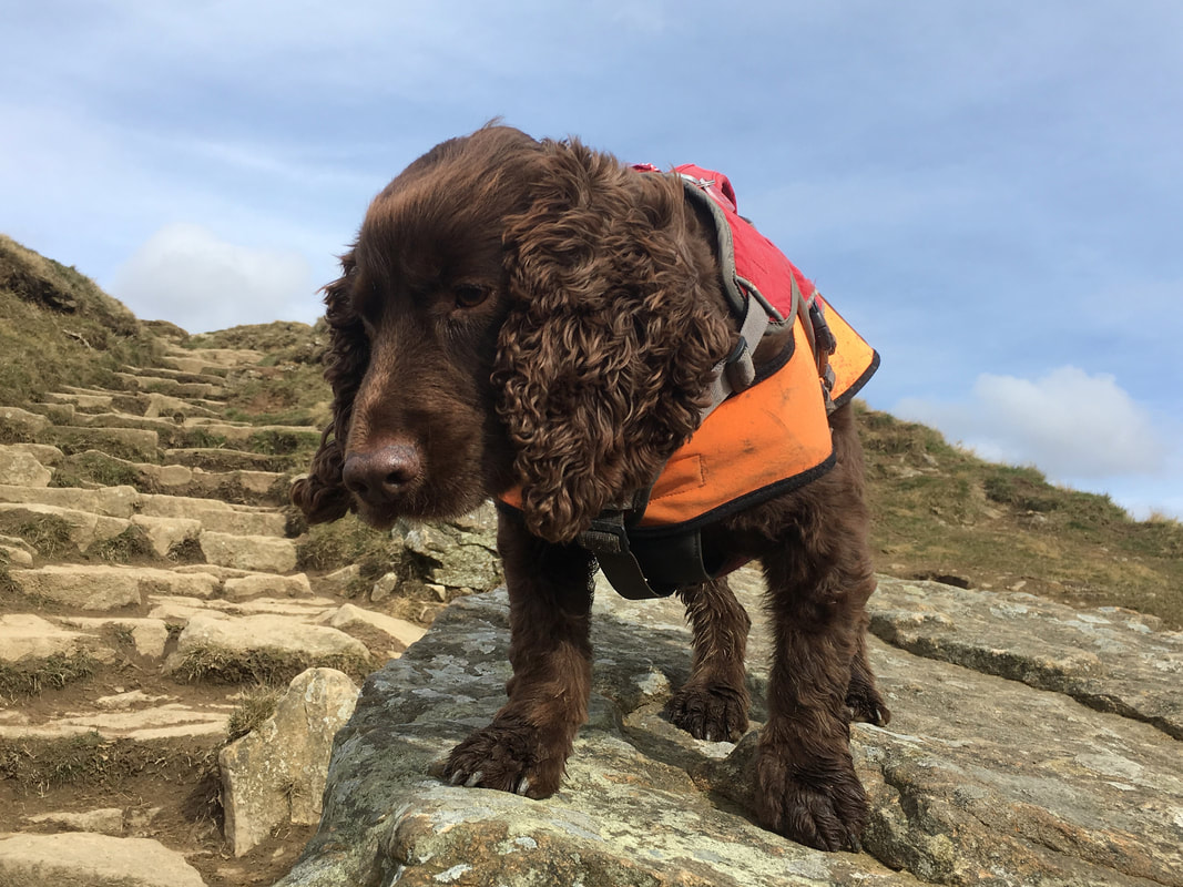
The summit of Mam Tor - Fudge is impatient to get up on top of the Trig Point.
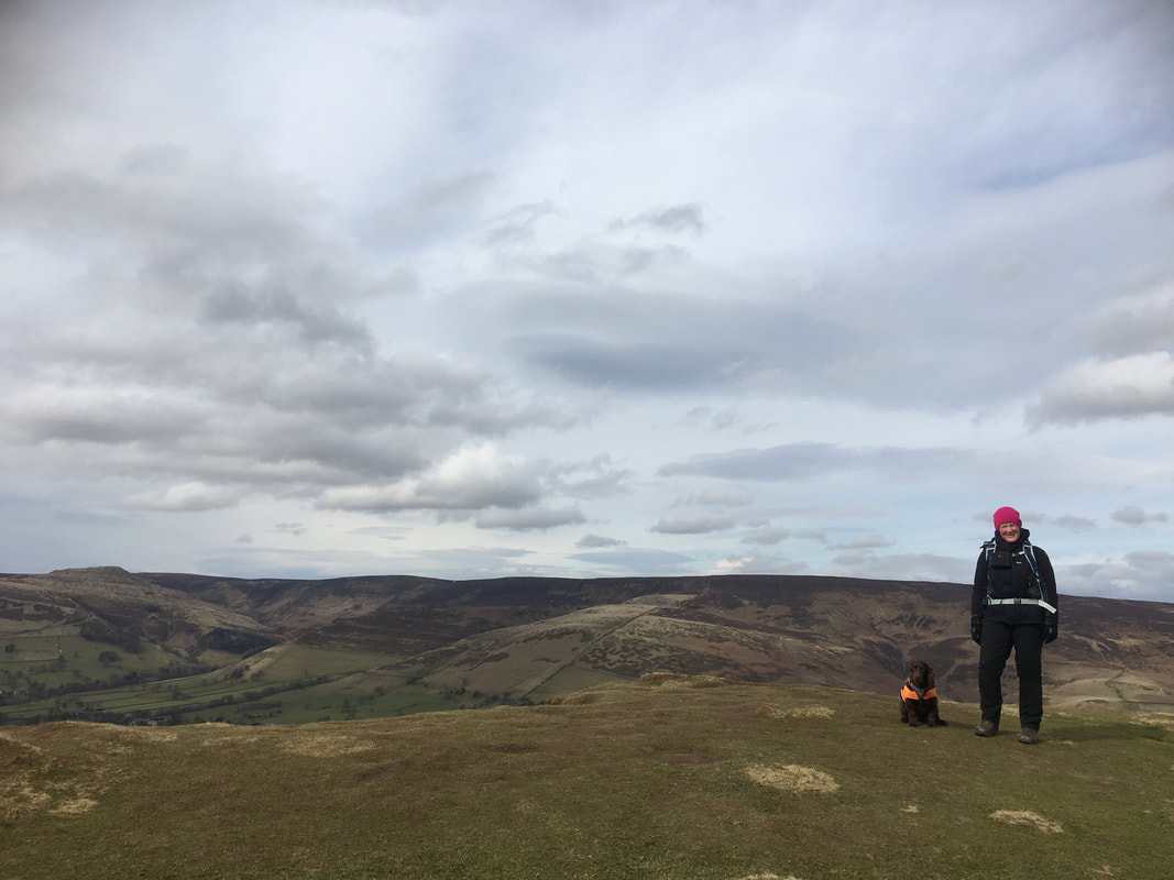
Whilst it doesn't look windy, it was blowing an absolute hoolie up here as the next picture will testify.
Whilst it doesn't look windy, it was blowing an absolute hoolie up here as the next picture will testify.
No words
Rushup Edge from the summit of Mam Tor
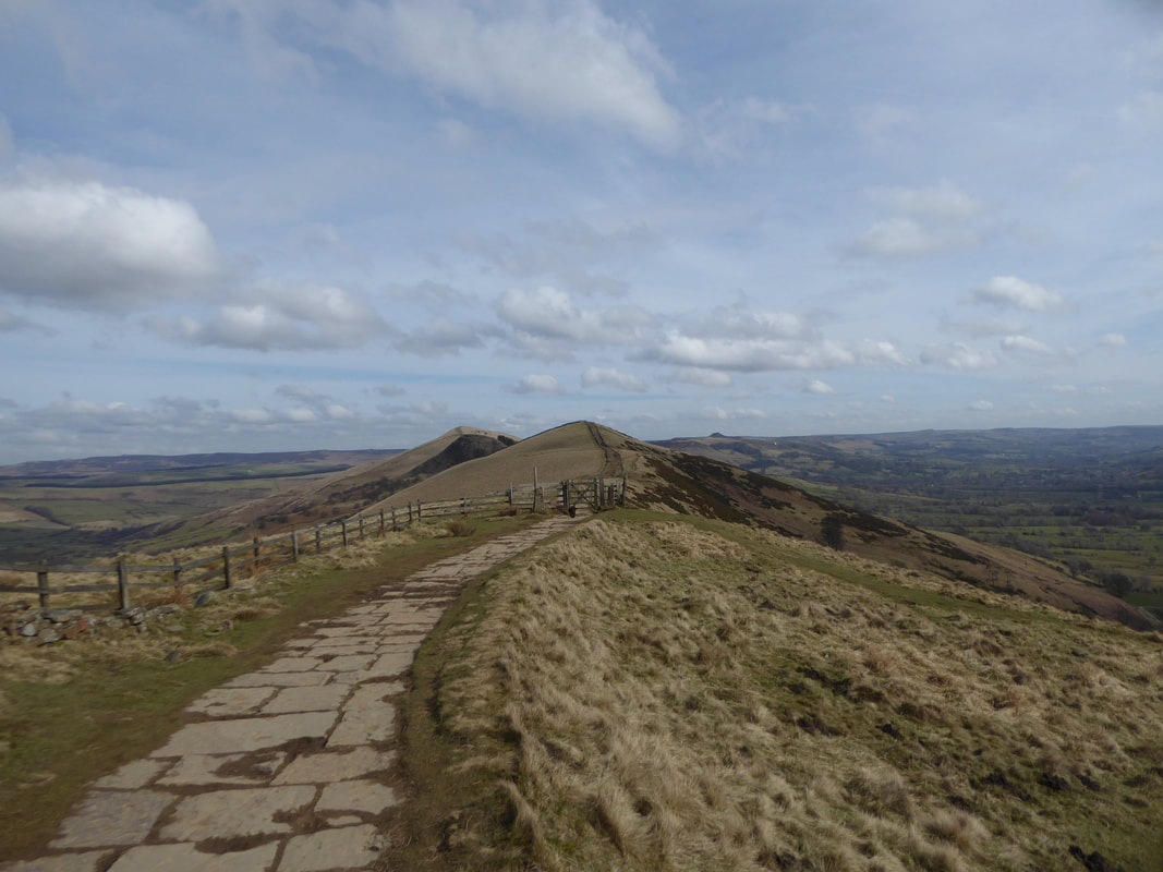
From Mam Tor it was now time to enjoy the remaining undulations of the Great Ridge.
The Great Ridge basically separates the vales of Edale & Castleton. It extends for approximately 2 miles from Mam Tor in the west to Lose Hill at the eastern end, the lowest point being Hollins Cross.
The Great Ridge basically separates the vales of Edale & Castleton. It extends for approximately 2 miles from Mam Tor in the west to Lose Hill at the eastern end, the lowest point being Hollins Cross.
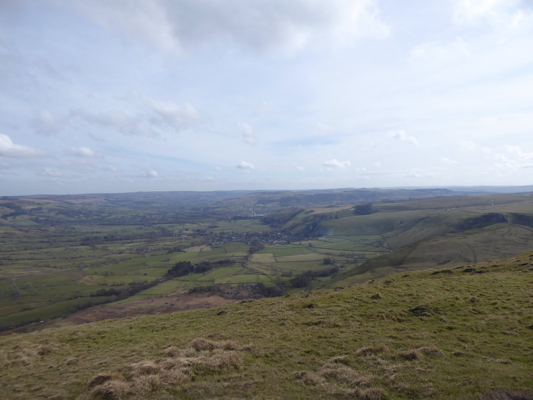
Castleton
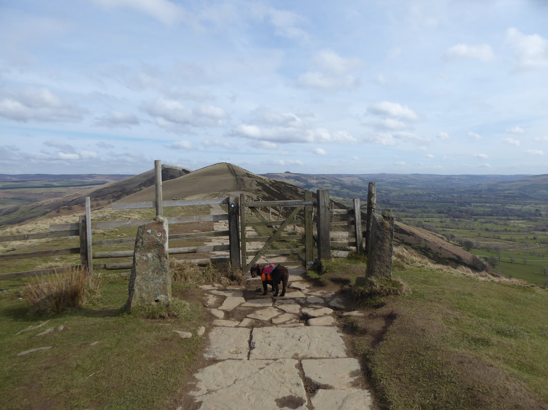
Heading along the Great Ridge - as can be seen, Fudge is already at the gate.........
........ with an impatient & disapproving look.
Hollins Cross
Hollins Cross is the lowest point on the ridge and is therefore a popular route taken by walkers wishing either to cross from one side to the other, or to start a walk along the ridge. It was also the traditional route from Castleton to Edale. Coffins from Edale were taken over Hollins Cross to Hope Church until a church was constructed in Edale, leading to the nickname of the "coffin road" for this route. A cross once actually stood at this point but by 1905 had disappeared.
Hollins Cross is the lowest point on the ridge and is therefore a popular route taken by walkers wishing either to cross from one side to the other, or to start a walk along the ridge. It was also the traditional route from Castleton to Edale. Coffins from Edale were taken over Hollins Cross to Hope Church until a church was constructed in Edale, leading to the nickname of the "coffin road" for this route. A cross once actually stood at this point but by 1905 had disappeared.
Looking back to Mam Tor from above Hollins Cross
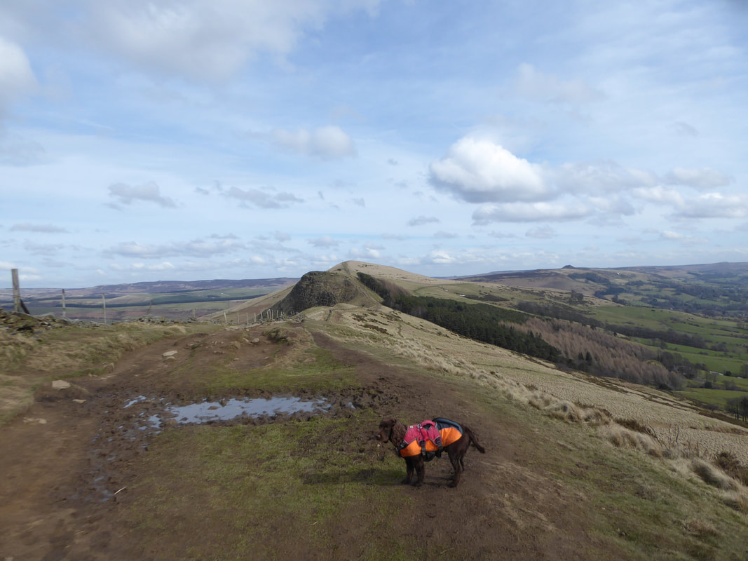
Continuing along the ridge to Back Tor with Lose Hill beyond
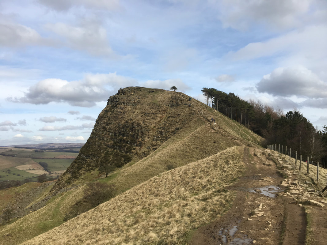
The only real steep section on the entire ridge - the final climb to Back Tor
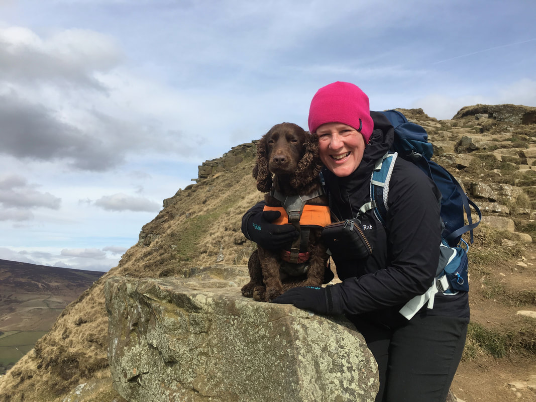
There is nothing quite like a "Cocker Cuddle" - even if you are wearing a pink hat
Got anyfink to eat?
Looking back to Hollins Cross & Mam Tor from the summit of Back Tor
A Back Tor panorama - not a bad view I suppose.
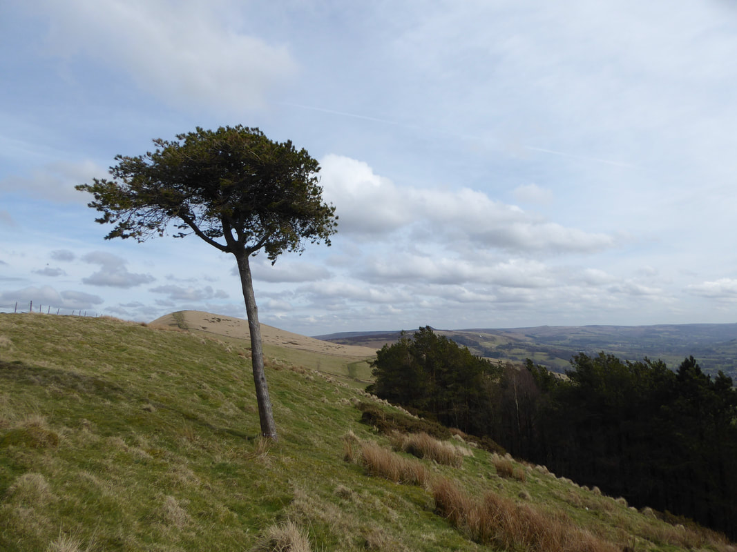
The lone tree just near the summit which is known as "The Back Tor Pine"
Looking towards Edale & Kinder Scout from the summit of Back Tor
From Back Tor it is a short and fairly level walk to reach Lose Hill.
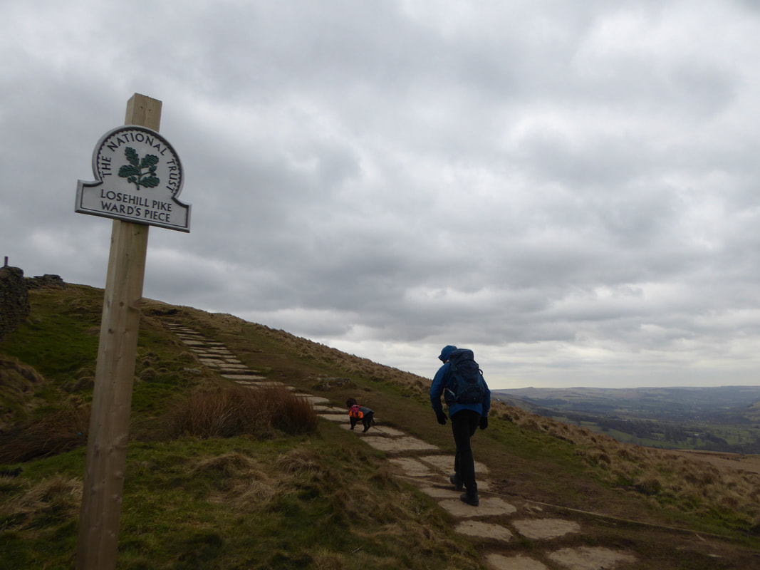
The hill is also known as "Ward's Piece" after local access activist G H B Ward who was given an area of Lose Hill by the Sheffield and District Federation of the Ramblers Association in 1945. He subsequently presented this to the National Trust.
The hill is also known as "Ward's Piece" after local access activist G H B Ward who was given an area of Lose Hill by the Sheffield and District Federation of the Ramblers Association in 1945. He subsequently presented this to the National Trust.
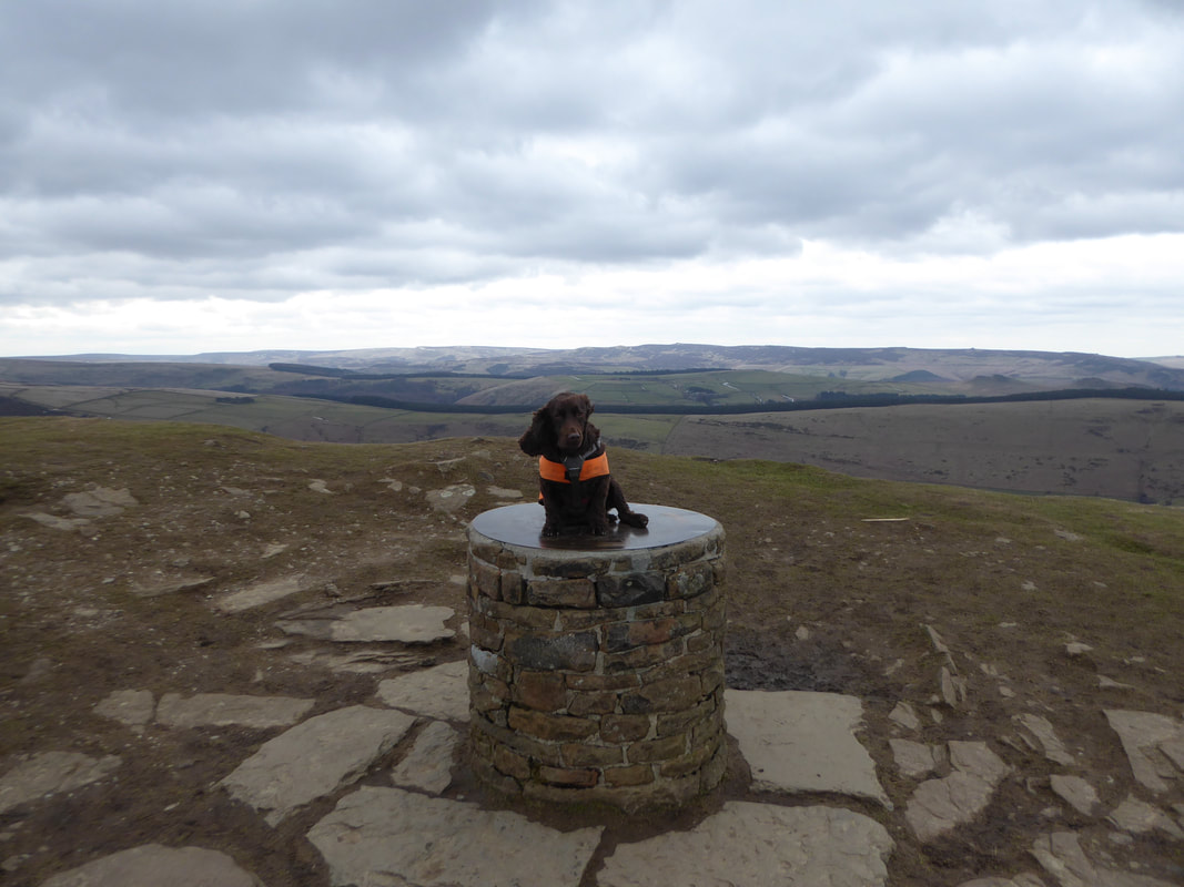
The toposcope which marks the summit of Lose Hill
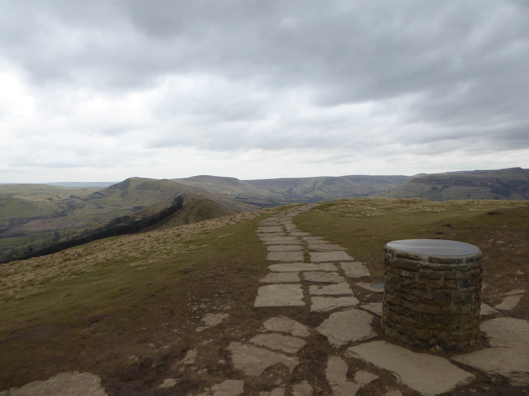
The summit of Lose Hill looking to Mam Tor & Rushup Edge
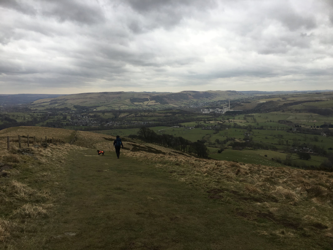
Dropping back down to Castleton - time for something cold in a warm place I think.
Not far now
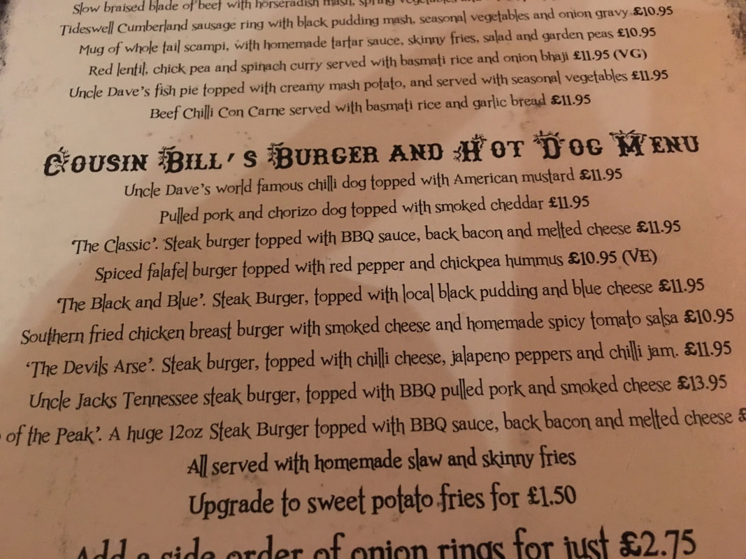
The Devil's Arse for me I think.
(The Devil's Arse is a show cave in Castleton - not a real arse)
(The Devil's Arse is a show cave in Castleton - not a real arse)
Any requests? How about anything by Boney M.
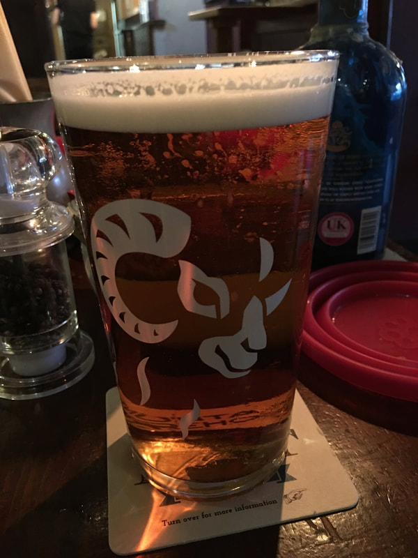
The perfect end to a fantastic day - a nice pint of Black Sheep in The Peak Hotel in Castleton
