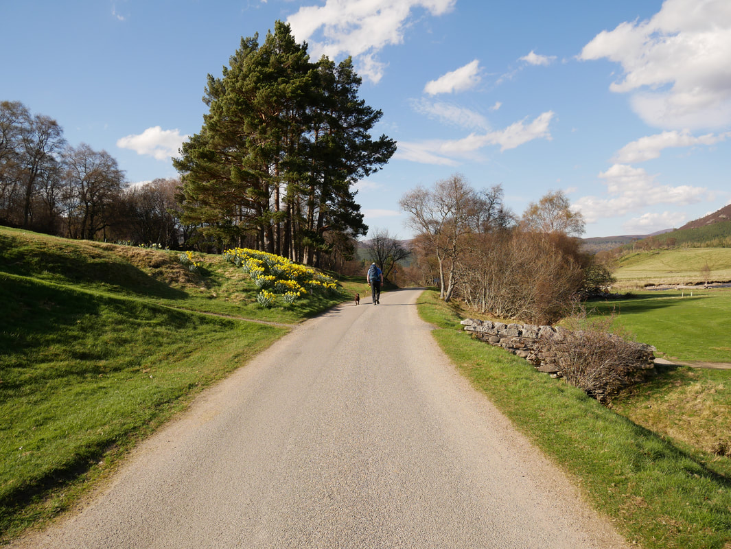
Morrone - Sunday 6 May 2018
Route
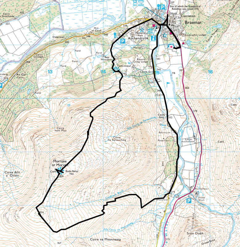
Braemar - Tomintoul - Morrone - Coldrach Burn - Old Military Road - Braemar
Parking
Plenty of parking in Braemar
Mileage
9.4 miles
Terrain
Good mountain & woodland paths throughout.
Weather
A mixed bag of overcast and sunny spells. It was extremely windy on the summit of Morrone.
Time Taken
4hrs 20mins
Total Ascent
2490ft (759m)
Map
OL58 - Braemar, Tomintoul & Glen Avon
|
GPX File
|
| ||
If the above GPX file fails to download or presents itself as an XML file once downloaded then please feel free to contact me and I will send you the GPX file via e-mail.
Route Map
Morrone (meaning Big Hill or Big Nose) is a Corbett (a Scottish mountain between 2500 & 2999 feet) just outside the Scottish town of Braemar.
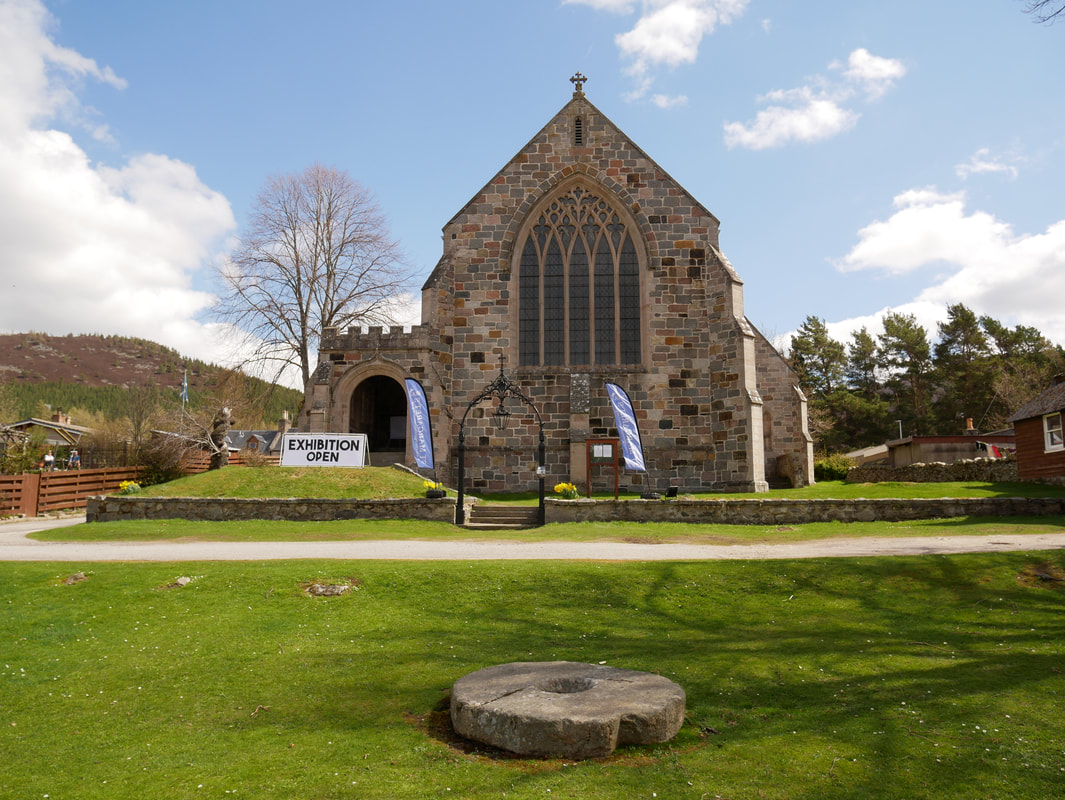
St Margaret's Church in Braemar
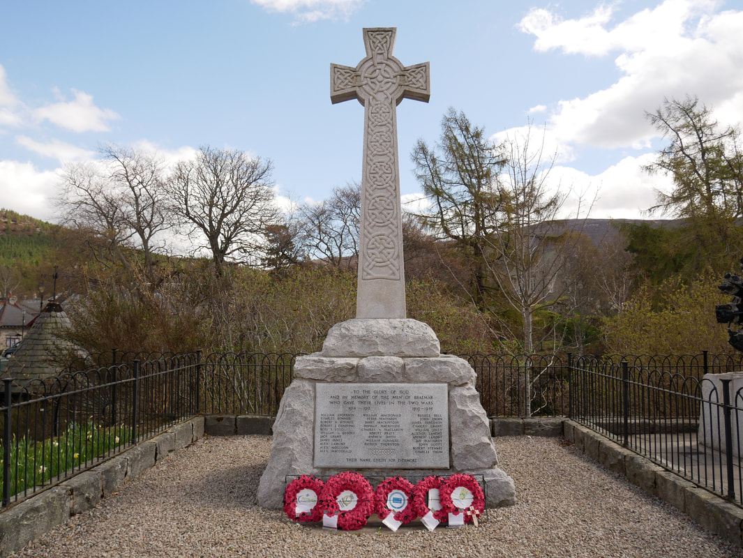
The Braemar War Memorial stands just off Braemar's main street above the gorge containing the Clunie River and lists the Men of the village who gave their lives in the service of their country during the First and Second World Wars. The Fife Arms Hotel, across the road, was taken over by the War Department in 1940 and turned into an army barracks. The hotel was used by the newly formed Commandos, who were being trained in mountain warfare.
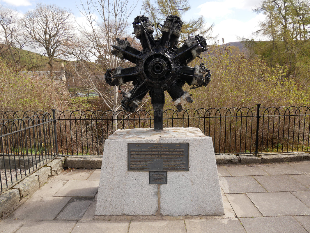
This aero engine sits alongside the War Memorial - it is a Pegasus engine recovered from the remains of an RAF Vickers Wellington. The WW2 twin-engined bomber, serial number R1646 which crashed in early 1942, is just one of many military aircraft that came to grief on the Scottish hills over the years - whether on combat, transport or training missions.
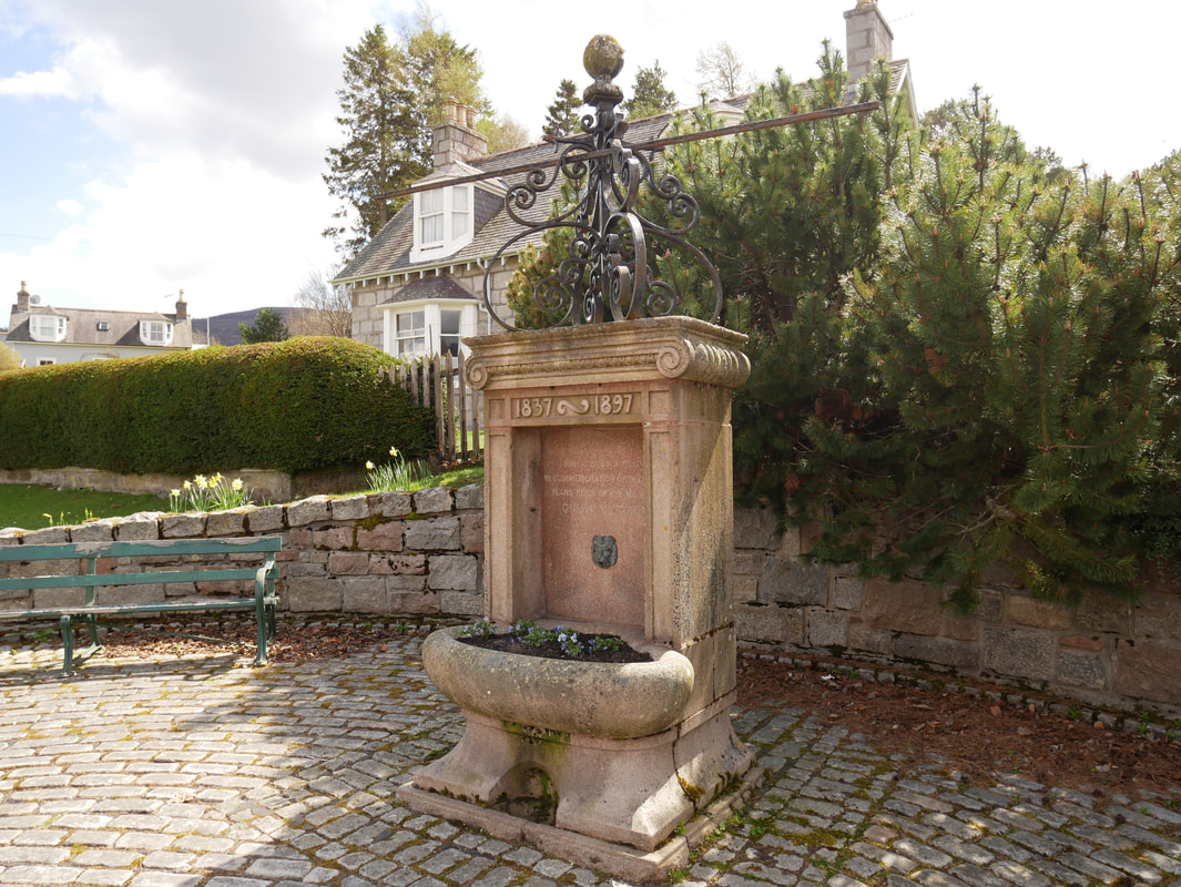
The fountain in Braemar erected to celebrate the Diamond Jubilee of Queen Victoria's reign
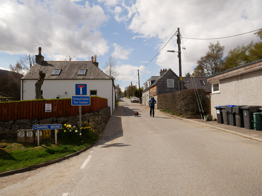
On the edge of the village the route heads up Chapel Brae
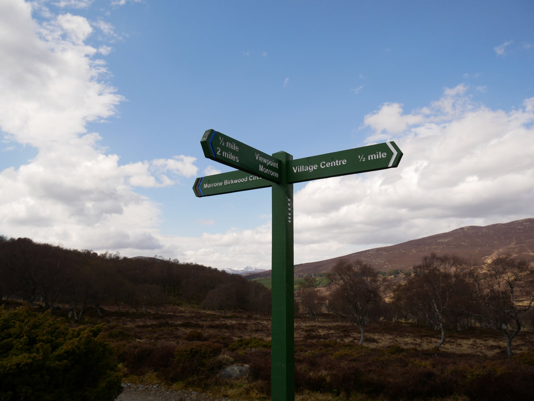
Nice posh signs show the way
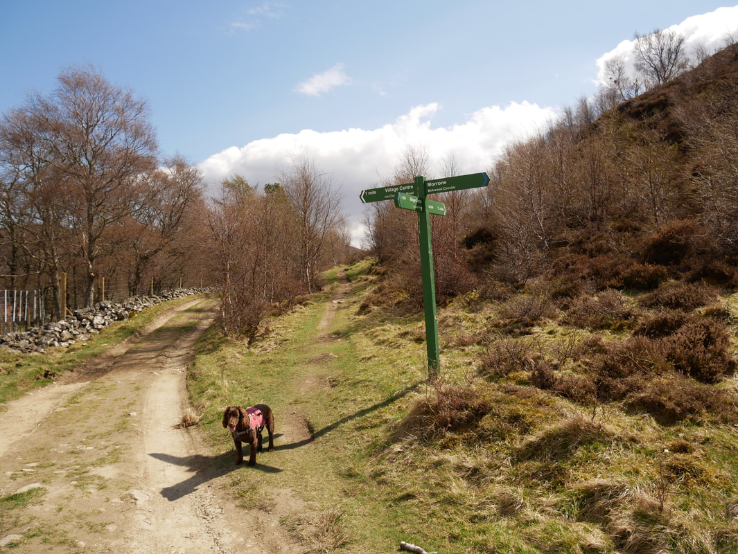
At the crossroads of tracks is where the climbing began - we were taking the path to the right.
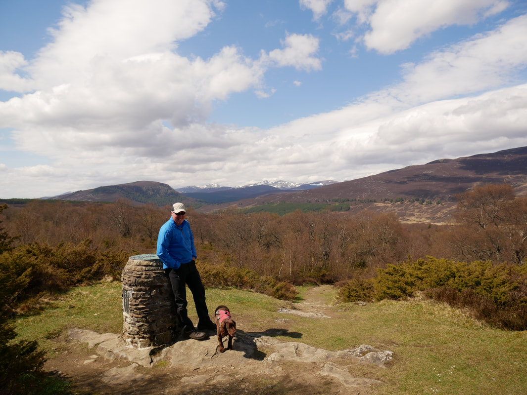
This was a lovely spot above Tomintoul at the Toposcope erected by The Deeside Field Club. As you can see it gives a superb view.
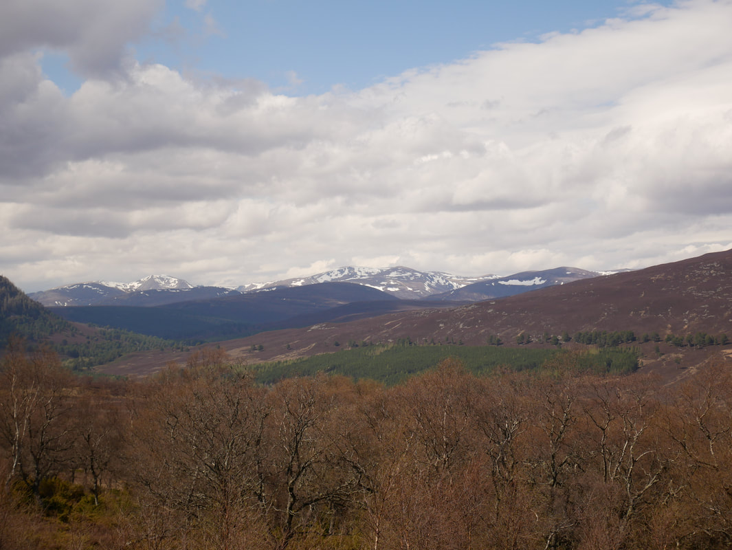
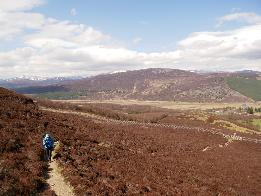
As we climbed and gained height the views started to open out
Looking to Craig Choinnich
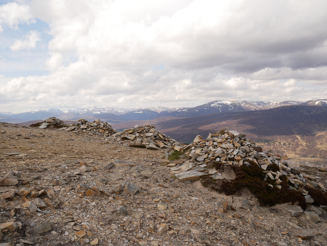
The 5 Cairns on the north side of Morrone
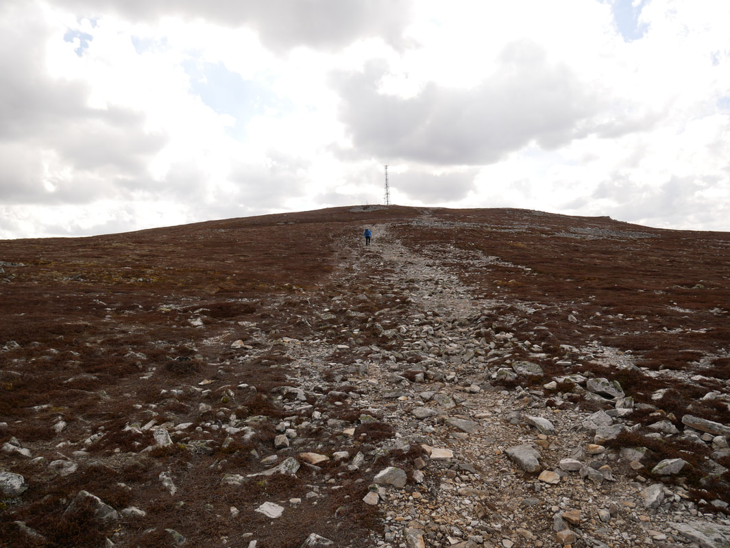
Approaching the summit of Morrone
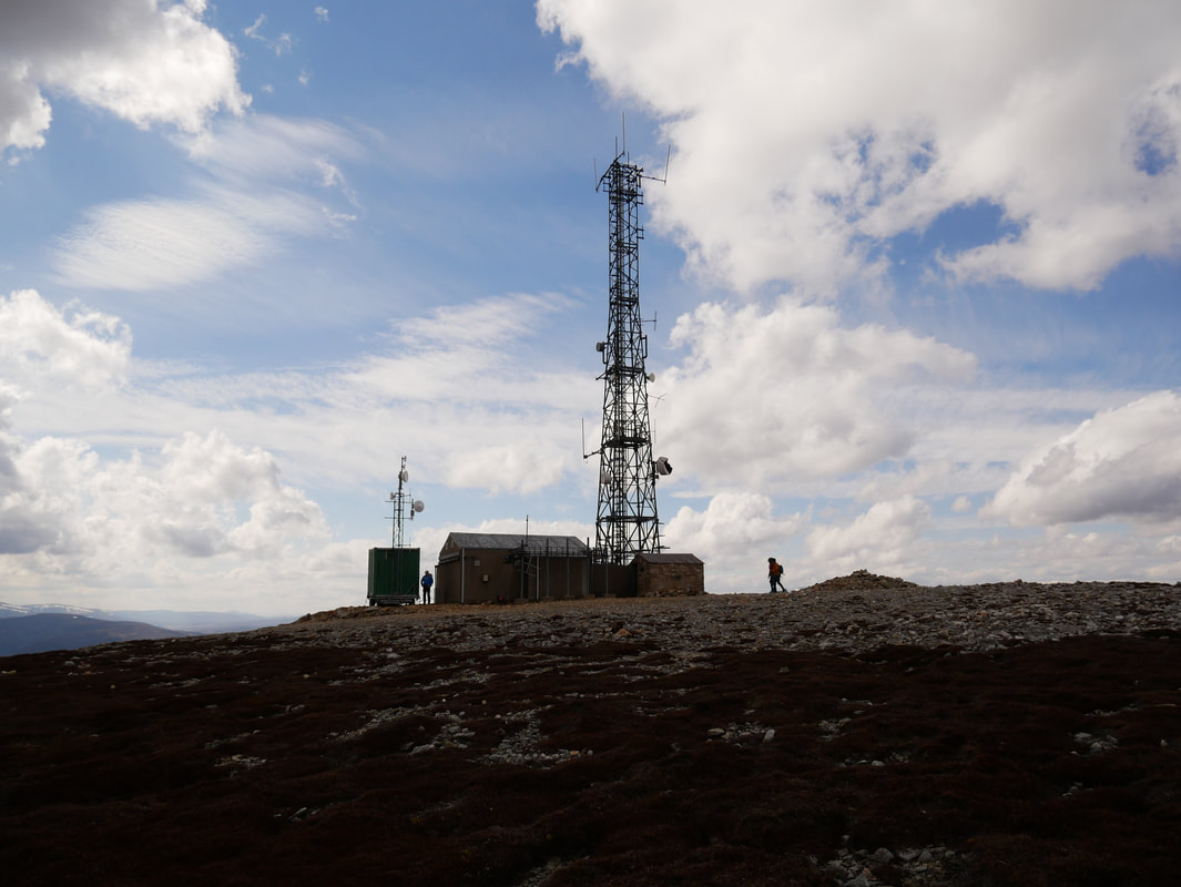
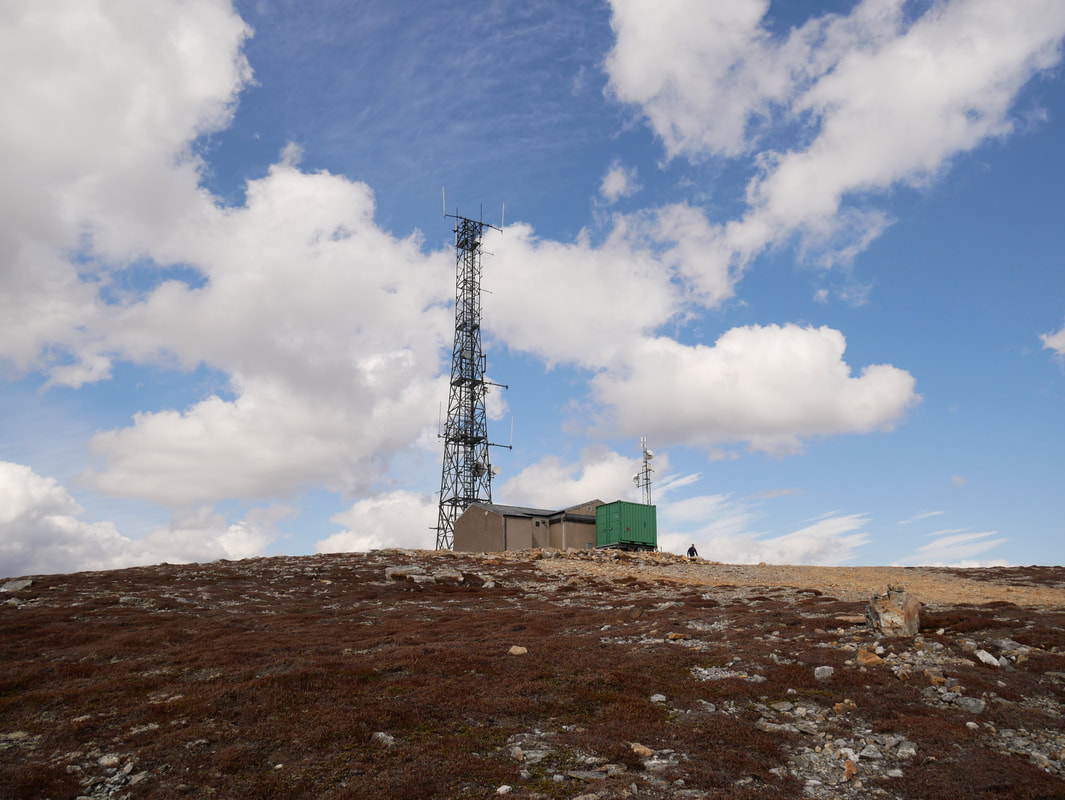
The summit is adorned by a mast and a Radio Relay Hut
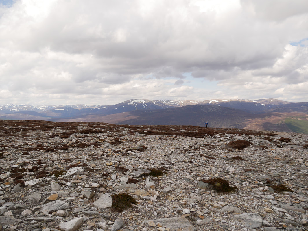
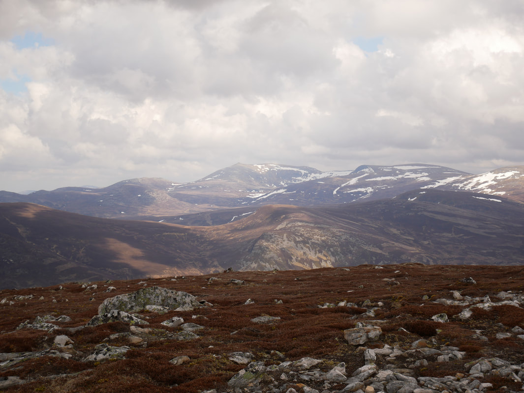
Looking to the Cairngorms from the ascent of Morrone - Lochnagar is the mountain in the centre of shot
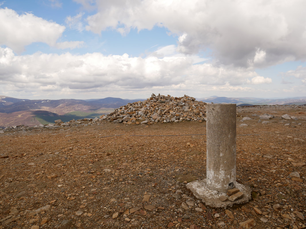
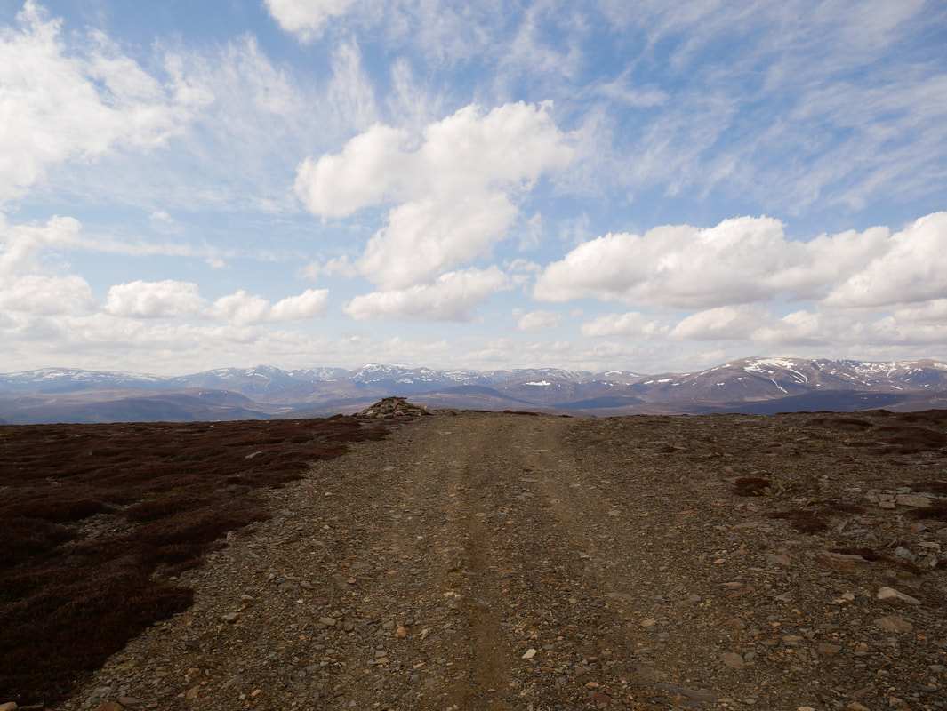
The summit of Morrone
Some would say these are a necessary evil however I don't like seeing them on the tops of mountains
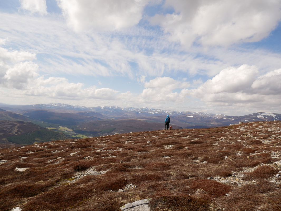
The views were glorious today from the summit however it was unbelievably windy
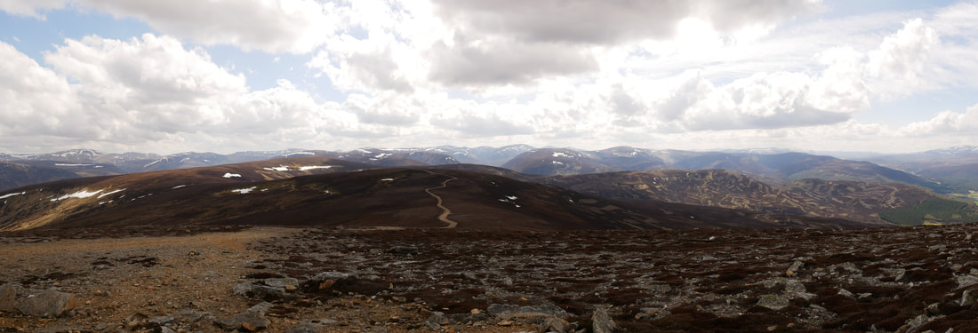
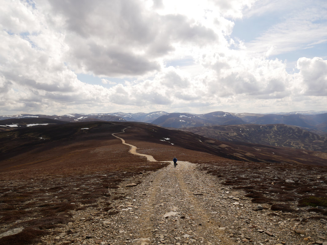
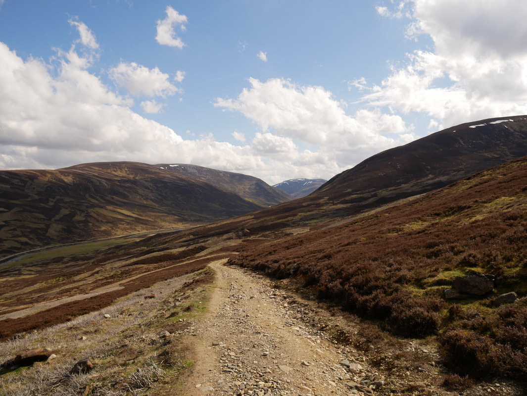
Our route of descent from Morrone heading south along the track
Not bad visibility today - just look at that view
Time to leave the summit and head down
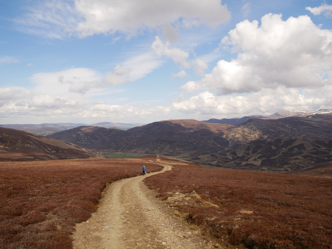
Just had to follow the yellow brick road all the way down
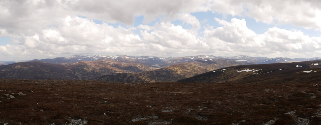
A panorama looking back to the summit of Morrone..............
.............. and one looking to the superb vista of the Cairngorms
Passing the cairn on the 824m spot height
Whilst this was easy walking it gave us a chance to take in the superb views on offer
Still descending, the path takes a sharp left to handrail the Coldrach Burn which leads to the valley floor near Auchallater
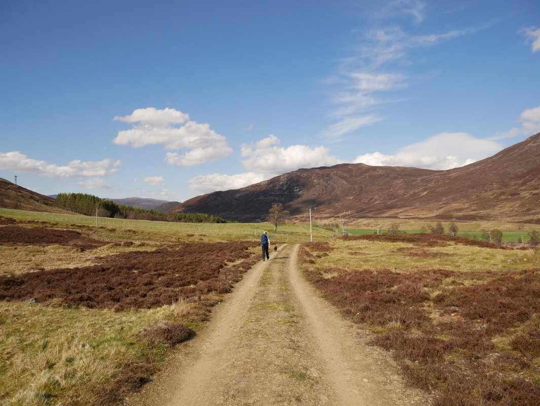
Back down on the valley floor the route heads along the Old Military Road
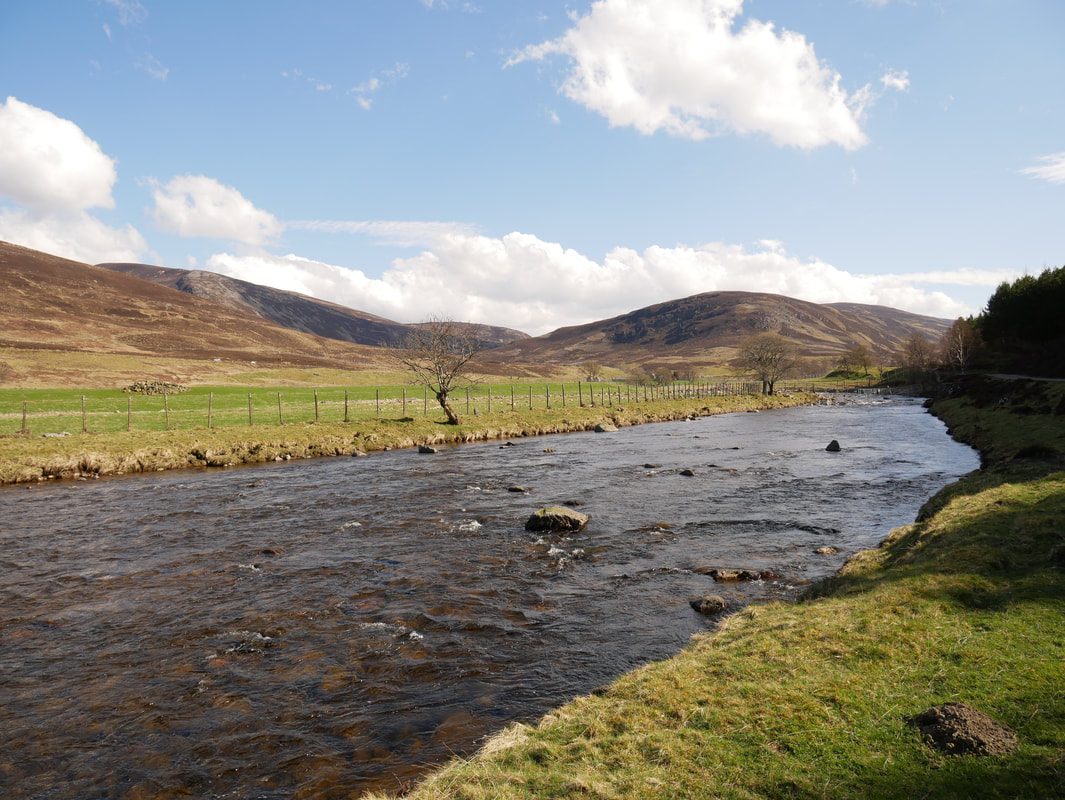
Clunie Water
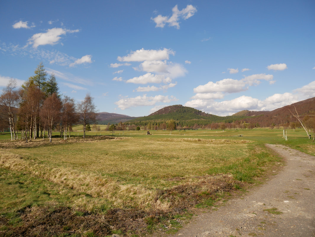
Continuing along the Old Military Road we soon reach Braemar Golf Club
Heading back into Braemar - another great days walking in beautiful Scotland
