Day 2 - Sunday 16 April 2023
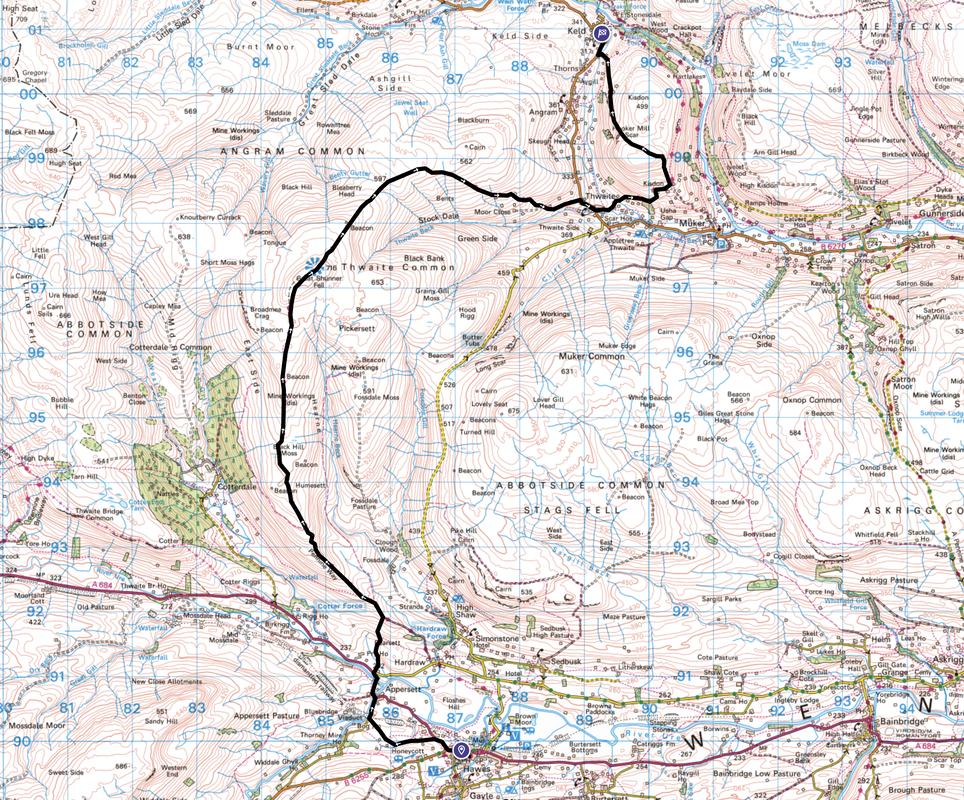
Hawes to Keld (12.5 miles)
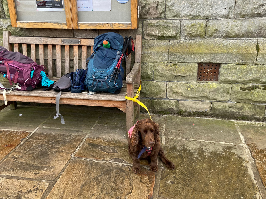
Back at Hawes as we ready ourselves for Day 2 - a wonderful amble back to Keld
Early doors in Hawes on a Sunday - a lot less busier than yesterday afternoon
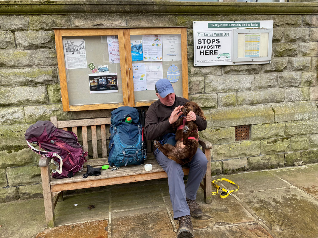
Duck looks on as I take Fudge through his daily paw waxing routine - as can be seen he tolerates it rather than enjoys it!
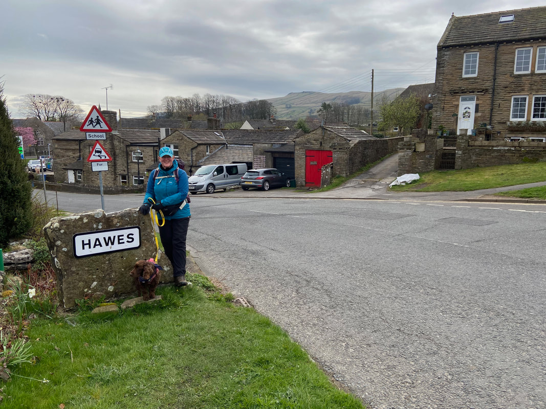
Leaving Hawes via the A684 at its western end
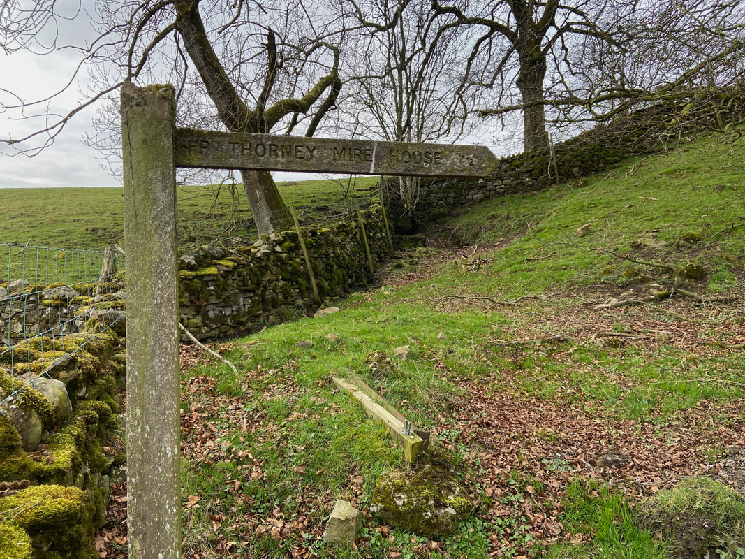
After 300 yards walking along the A684, a path leaves the road on the left towards Thorney Mire House
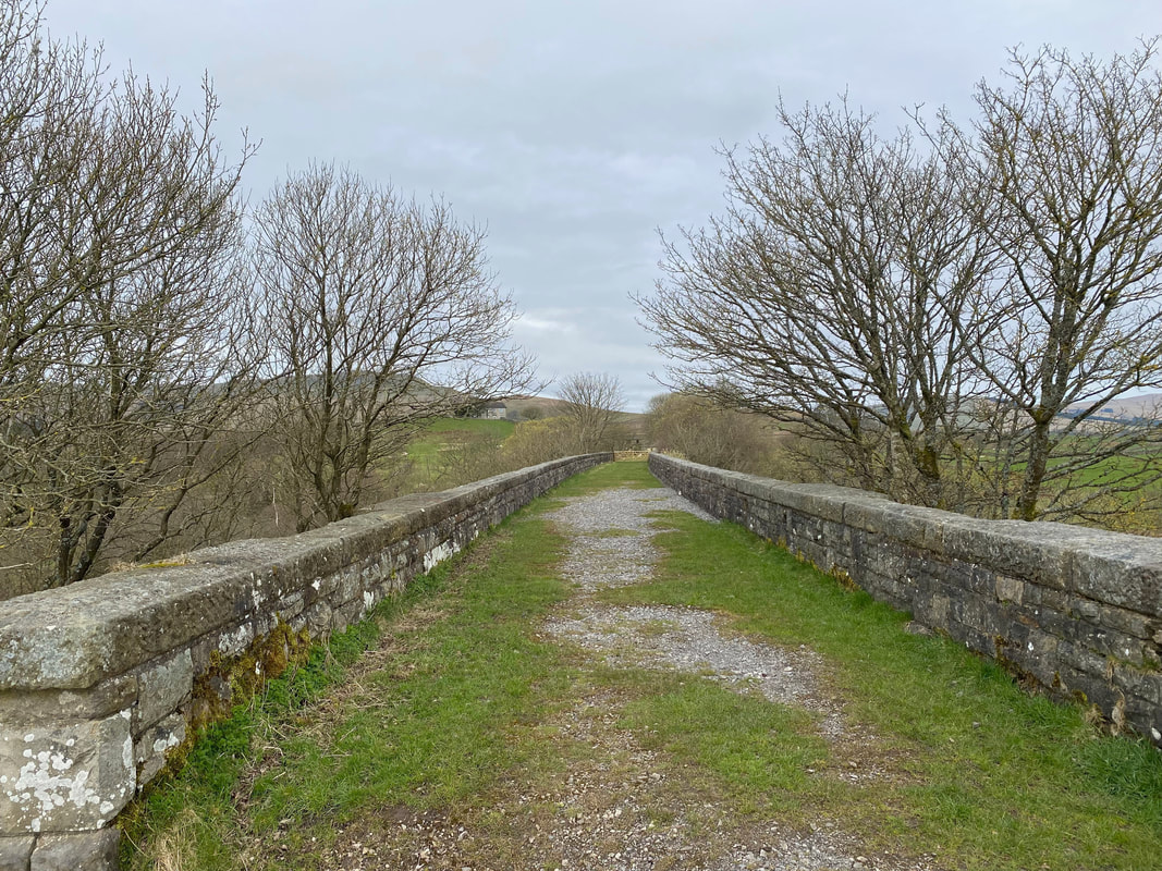
The trackbed of Appersett Viaduct
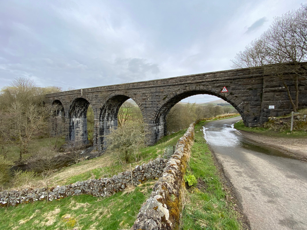
Appersett Viaduct from below which passes over Widdale Beck. Also known as Bridge 27, it is 108 yards (99 metres) long, 80 feet (24.4 metres) high and has 5 arches. It was completed in June 1878 and the structure saw its last train in 1959. Ten years later, it received a Grade II listing. Today it is used regularly by abseilers and hopes to bear the weight of trains again at some time in the future as part of a reborn Wensleydale Railway.
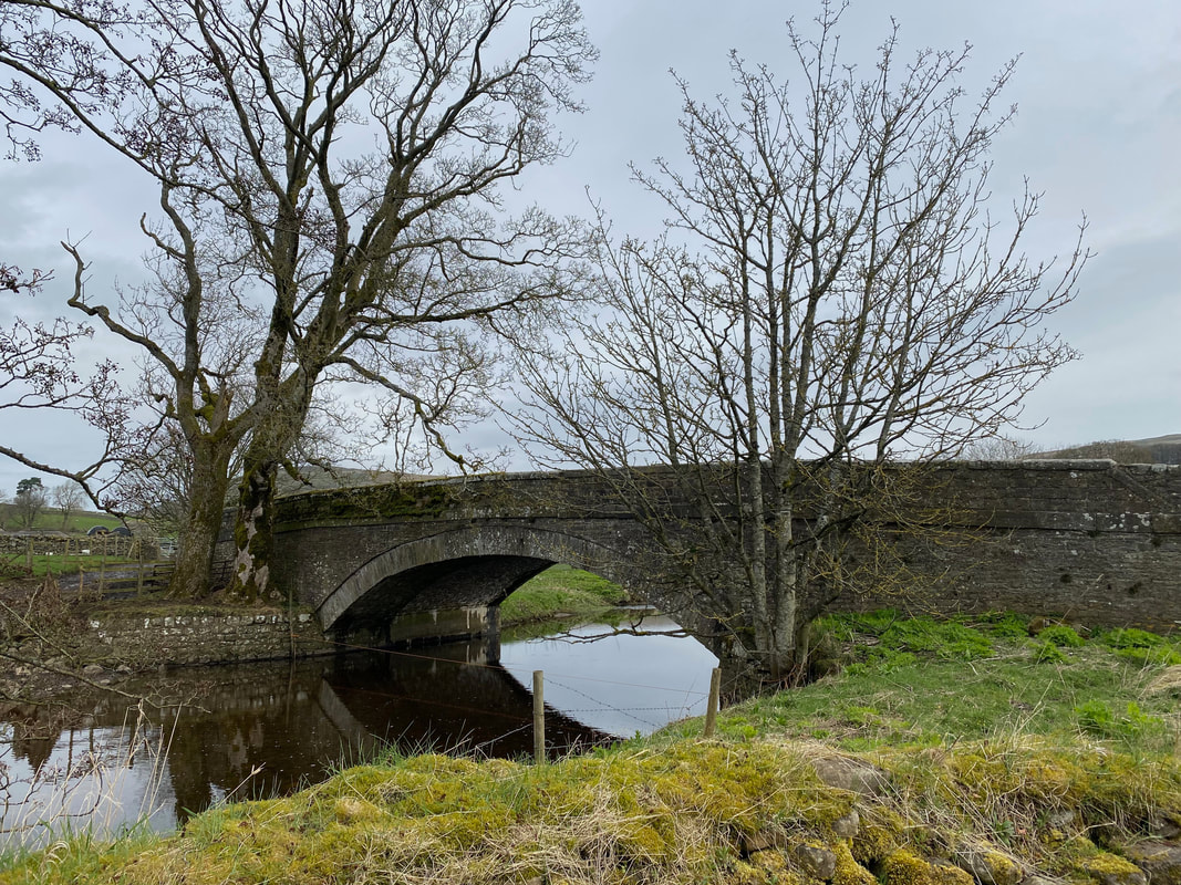
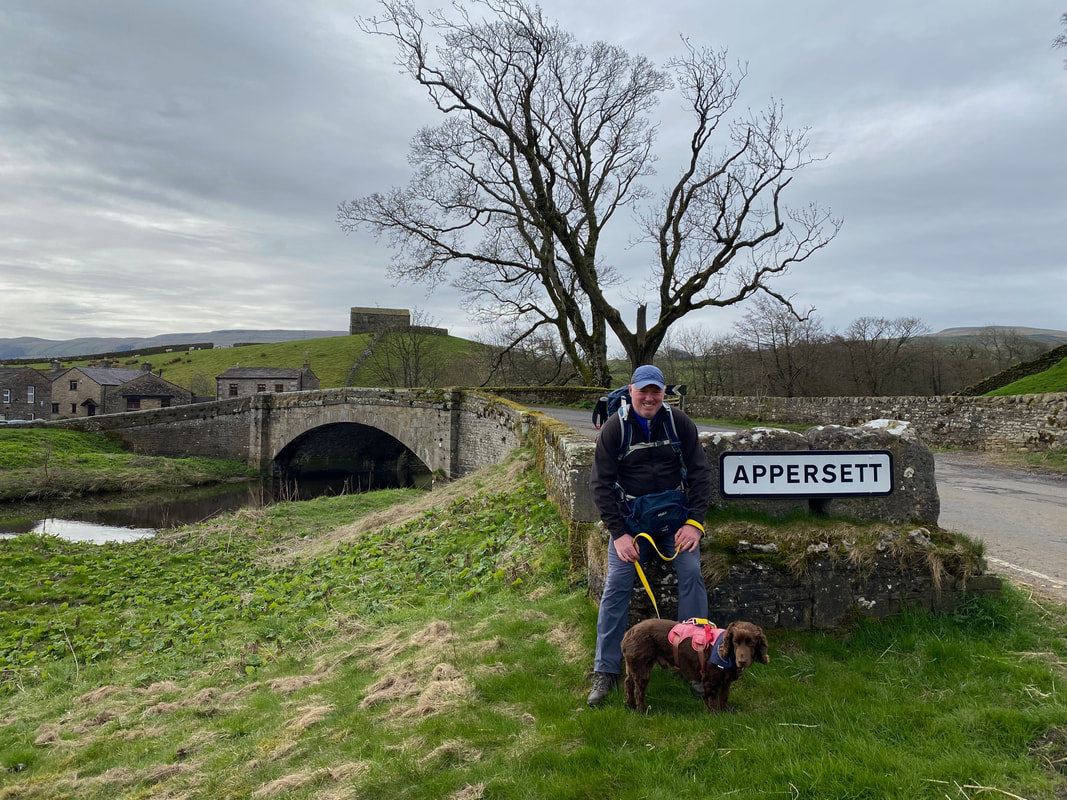
Yore Old Bridge in Appersett which carries the A684 over Widdale Beck
Leaving Appersett with Yore Old Bridge and Widdale Beck to the rear
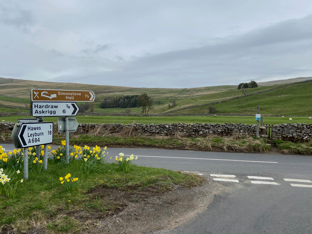
After crossing Yore Old Bridge the route reaches a road junction - our path is opposite
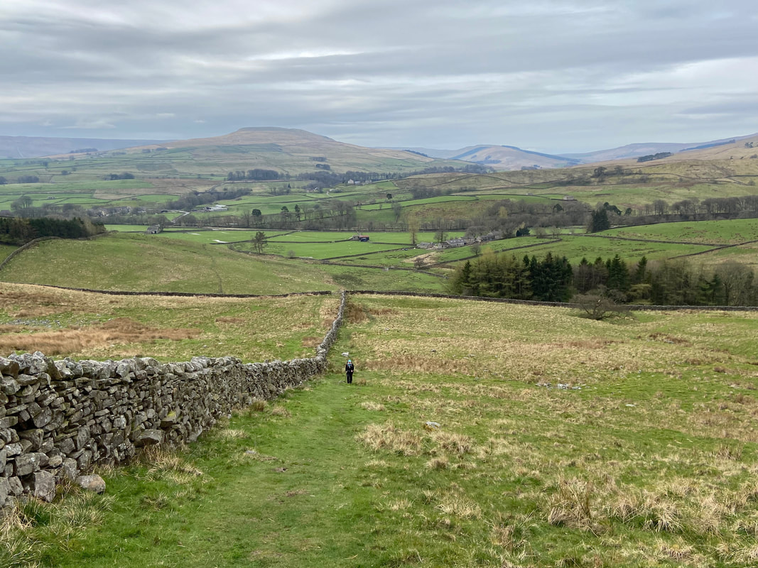
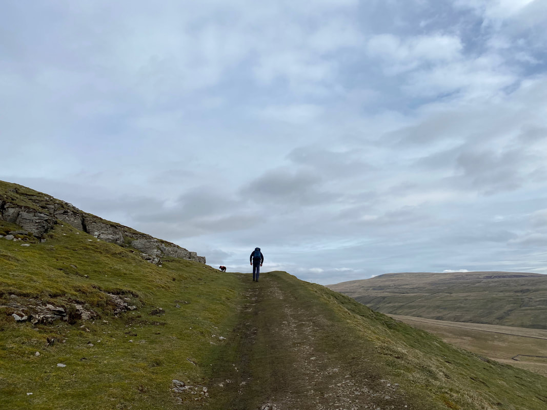
With Appersett behind us we begin the ascent to join the Pennine Way at the top of Bluebell Hill
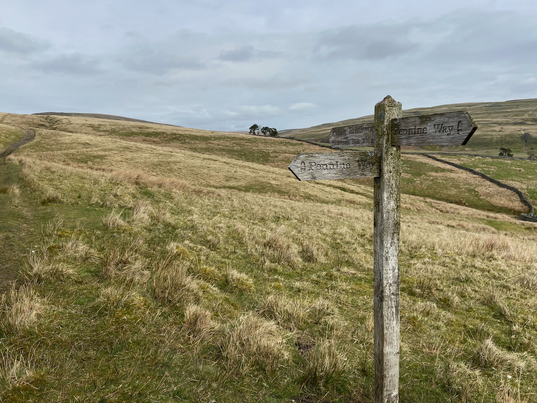
We were now joined by an old friend, The Pennine Way which we completed in 2015 - our walking journal of that walk can be found here.
The path via The Pennine Way to Great Shunner Fell with Lovely Seat over to the right
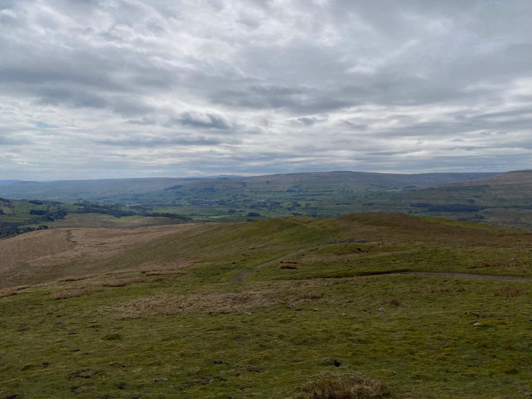
Looking back down The Pennine Way towards Hawes
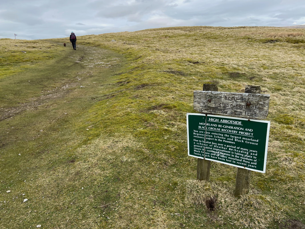
Entering High Abbotside as we continue on towards Great Shunner Fell
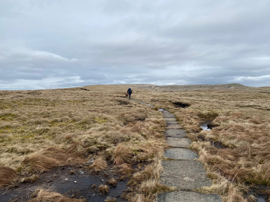
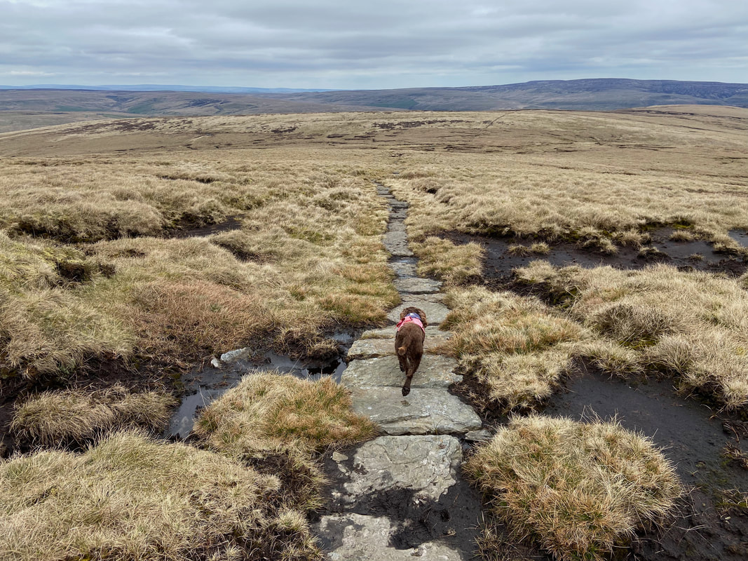
As the path continues up Great Shunner the terrain becomes easier as most of the ascent is both flagged & cairned. Without the stone flags this ascent would be a pretty damp one as in wet weather the ground becomes saturated. The stones are recycled from redundant mills and factories and some even have drill holes whereby machinery would have been secured through them to the floor.
Just follow the Yellow Brick Road
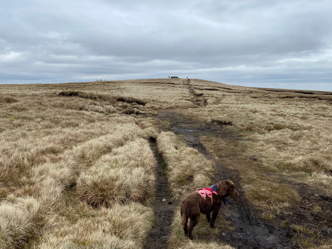
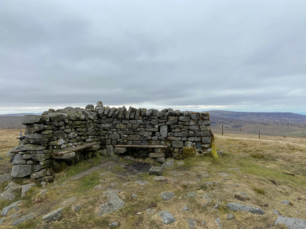
The final section to Great Shunner Fell is over a rough path. The summit shelter is now in sight as Fudge wonders to himself whether it is nearly lunch time.
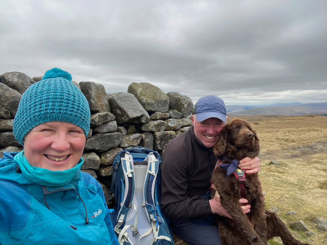
A group selfie on the summit of Great Shunner Fell
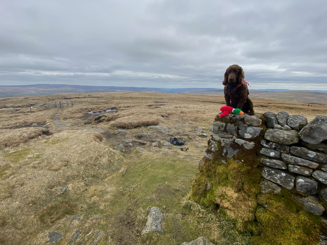
Fudge with his Duck on the summit of Great Shunner Fell. At 2349ft (716m) it is the highest point on The Herriot Way and the 3rd highest mountain in Yorkshire.
The cross shelter on the summit of Great Shunner Fell. Those keen eyed among you may have noticed that the Trig Point is built into the structure of the shelter.
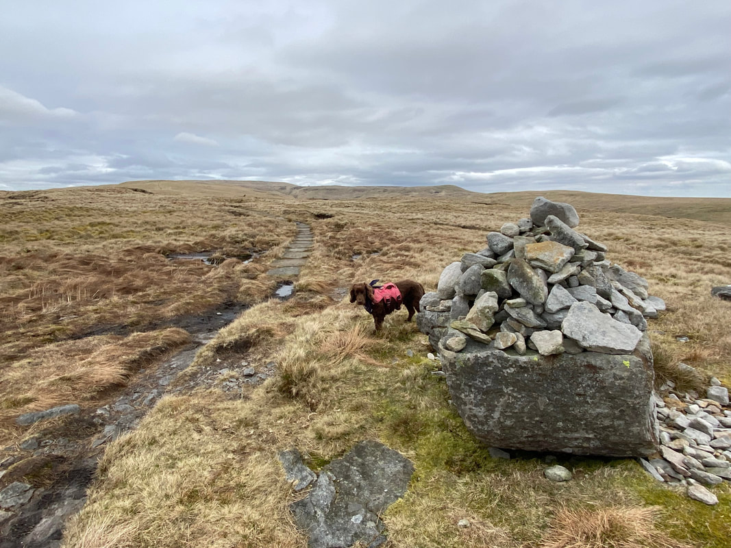
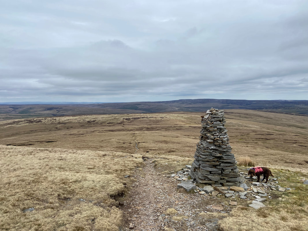
From Great Shunner Fell the route continues to follow the Pennine Way on a very good path for 3 miles or so down to the village of Thwaite. It is mostly flagged and passes several "stone men" as it makes its way gently down to the village.
Fudge continues along his merry way having employed "bimble mode"
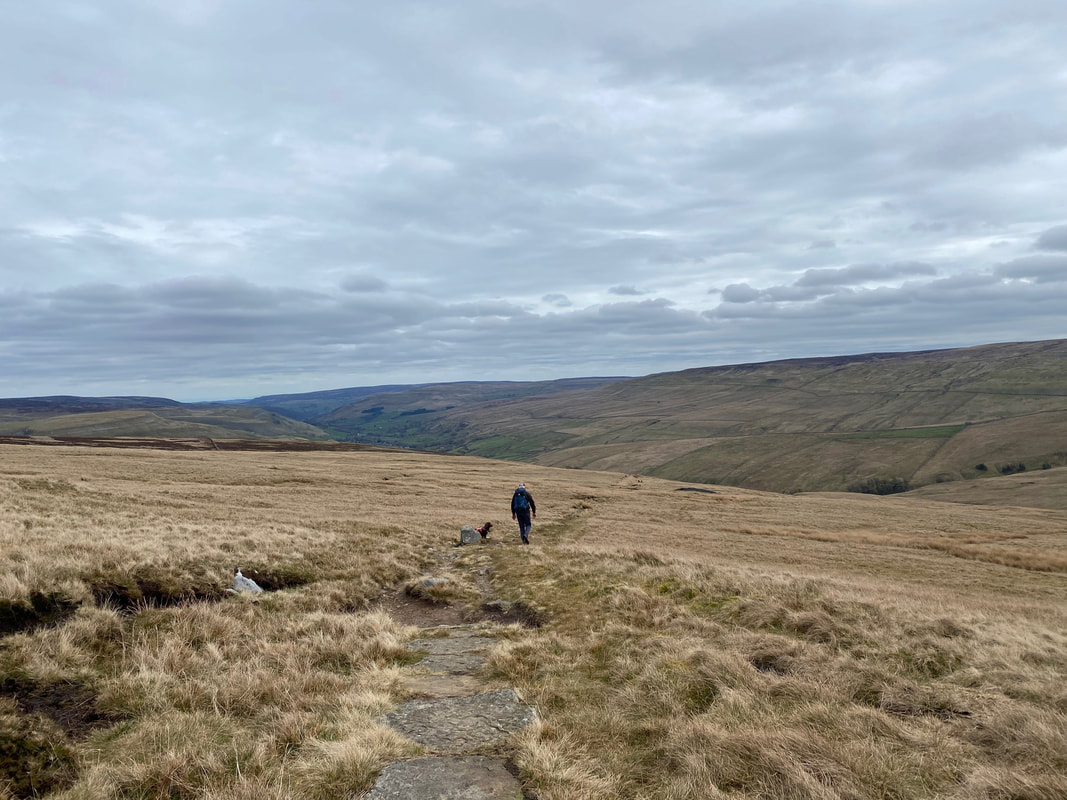
Continuing the gentle descent down into Thwaite
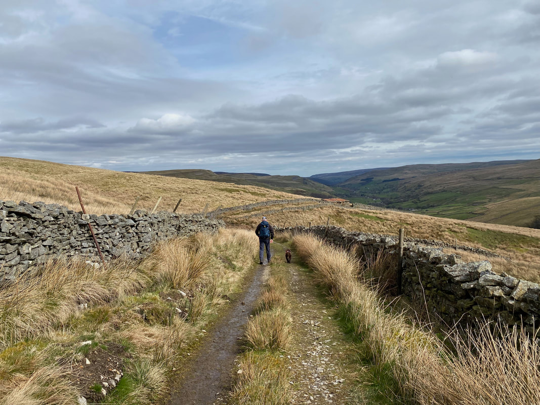
Eventually the flagstones reach a rough track between walls and this is followed for just under a mile to eventually reach a road
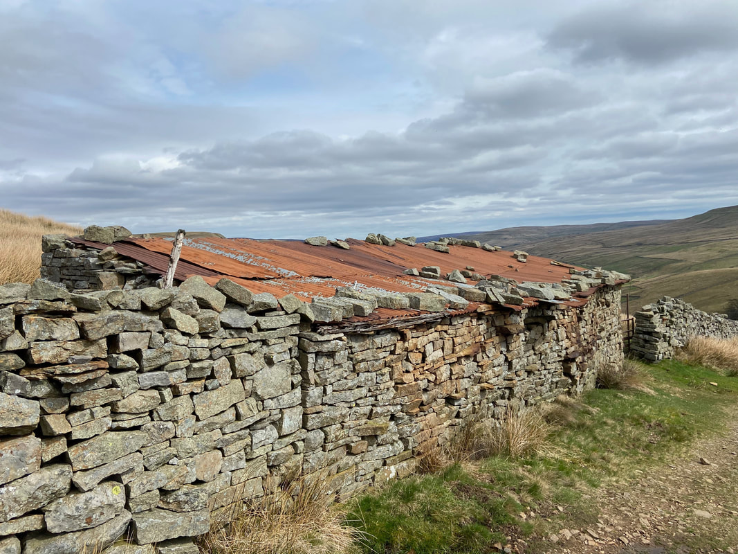
One way of keeping your corrugated roof on I suppose
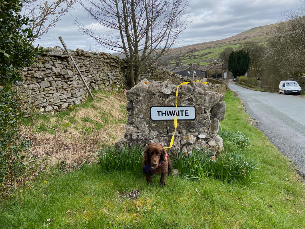
Arriving in the village of Thwaite - hopefully the Tea Room will be open. The village's name comes from the Norse "thveit" meaning a clearing.
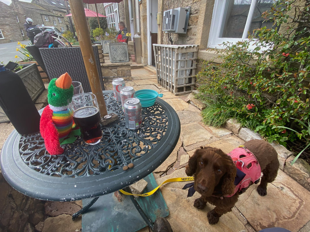
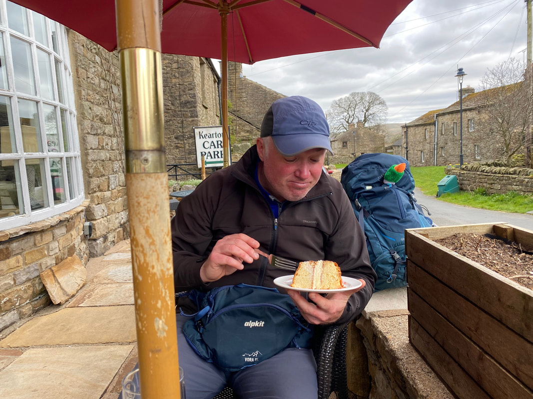
Welcome refreshment at the Kearton Tea Room in Thwaite - all we need now is some cake...................
............ and here it is!
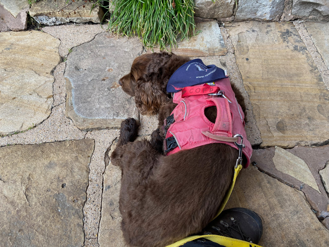
Fudge catches up on a bit of rest whilst Angie and I "fuel" up for the climb out of Thwaite
Duck meanwhile goes in search of other stuffed toys to have his picture taken with
The Tea Room is currently up for sale and as at October 2023 was under offer. I hope it remains as it is and continues as both a Tea Room and Hotel - it is an oasis for walkers, in particular those walking the Pennine Way.
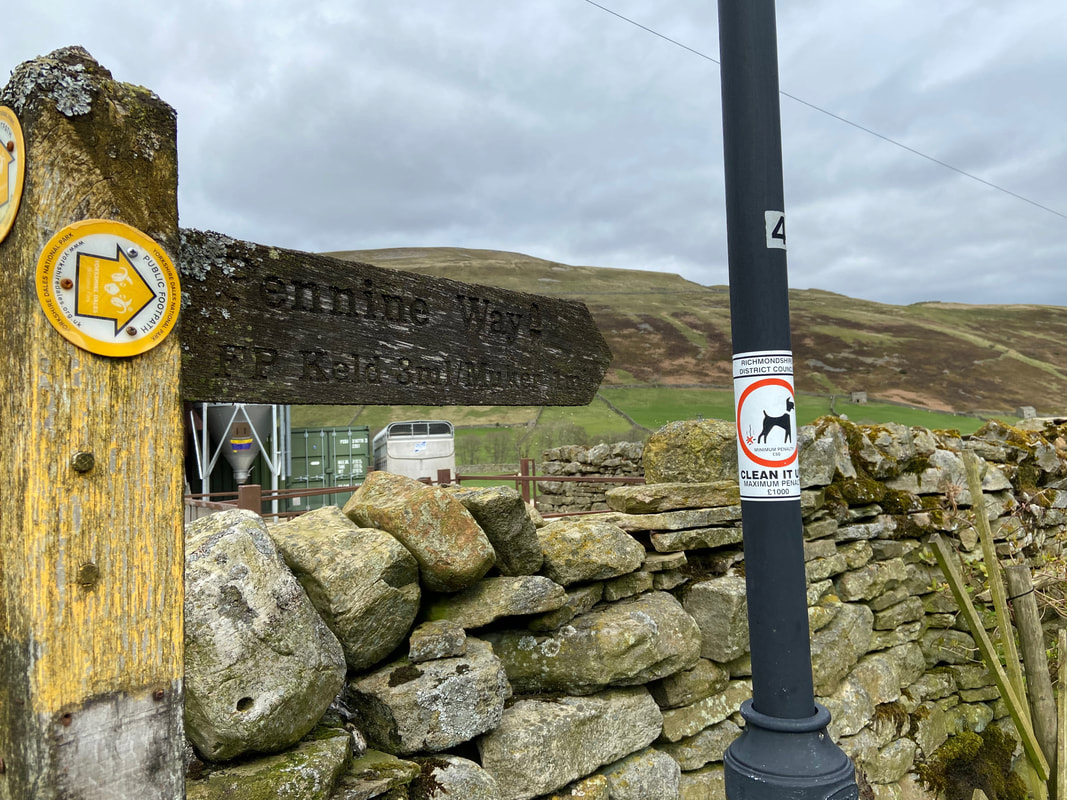
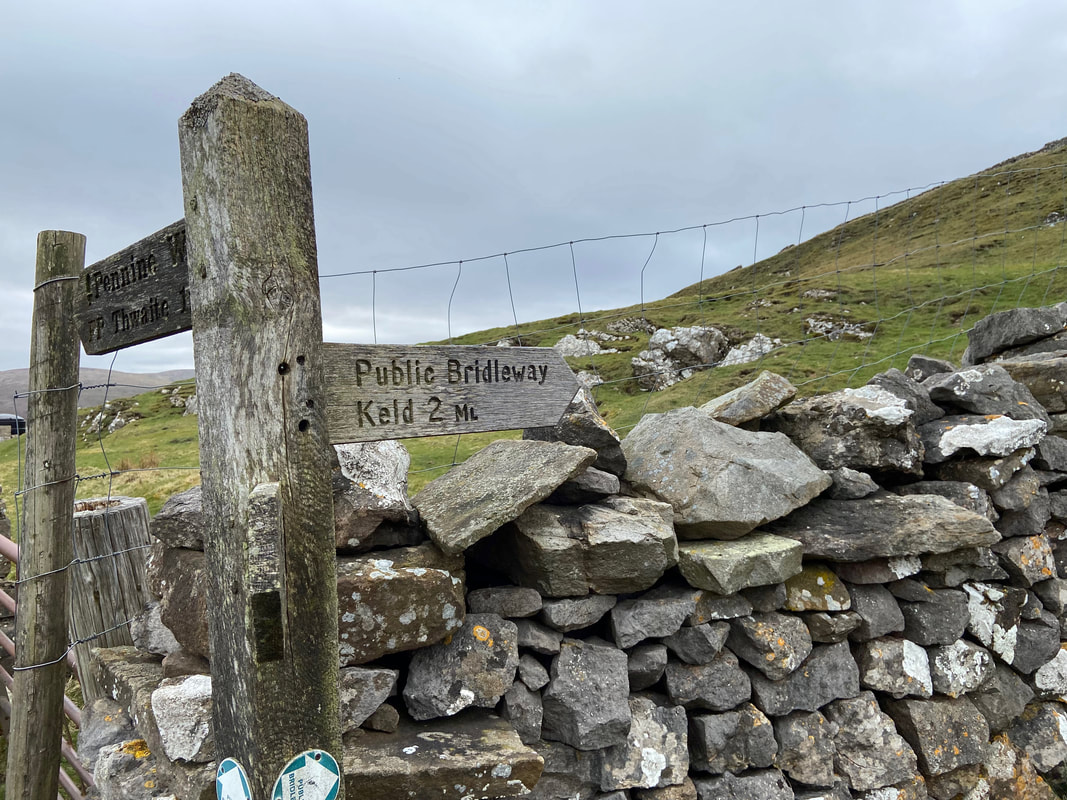
A finger post indicates just 3 miles to go should we be following the Pennine Way all the way into Keld. Our route into Keld differed slightly as we would be leaving the Pennine Way above Kisdon Farm therefore we had roughly 2 and 3/4 miles to go.
Heading across farmland with the lower slopes of Kisdon Hill ahead. The Pennine Way slopes away to the right.
At Grid Reference SD 90317 98599 the route leaves the Pennine Way
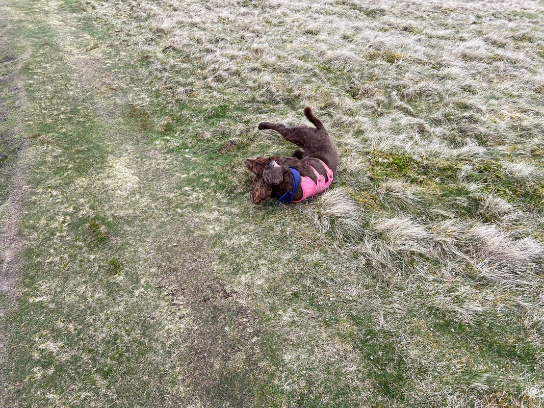
Nearing Keld Fudge decides this is as good a moment as any to have an arse about
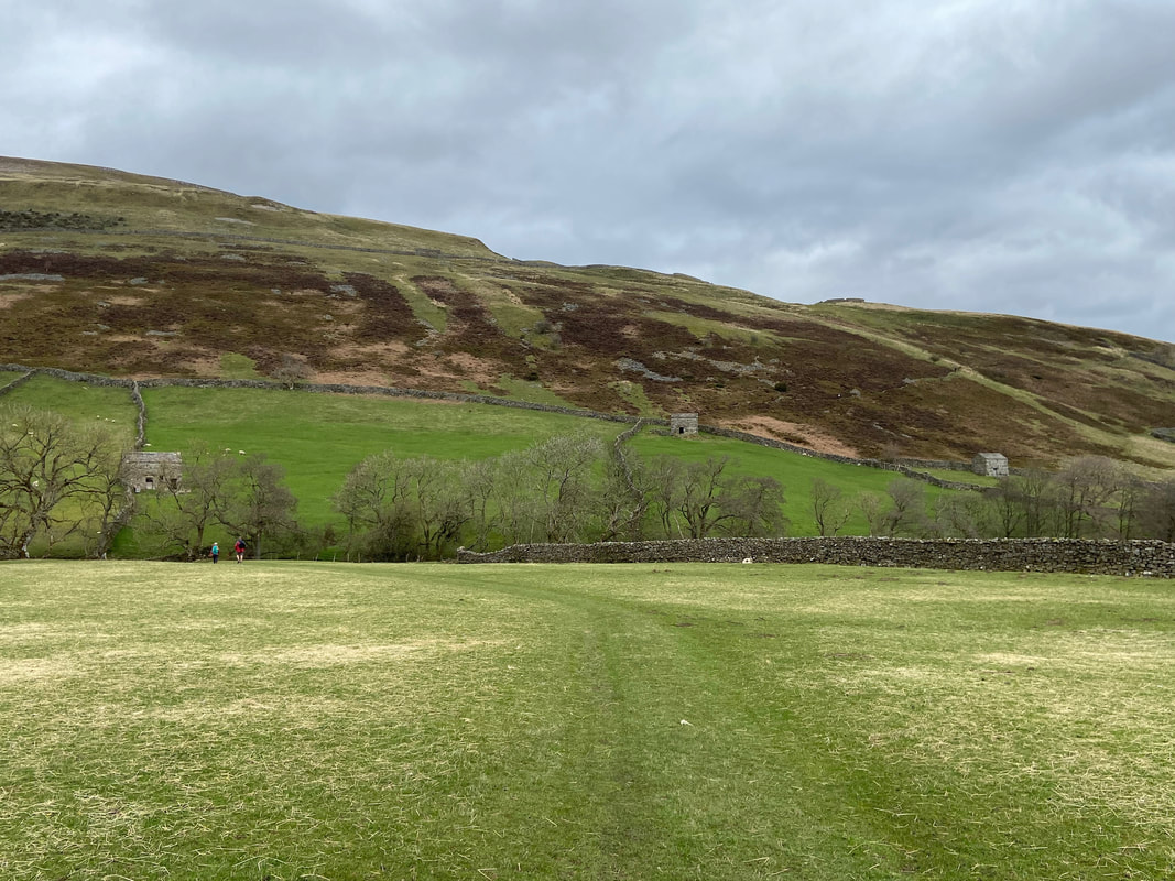
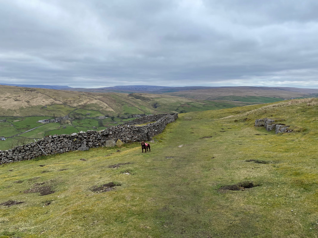
The final 2 miles to Keld is a super transit over gentle grassy slopes for the most part
Reuben of "Our Yorkshire Farm" fame
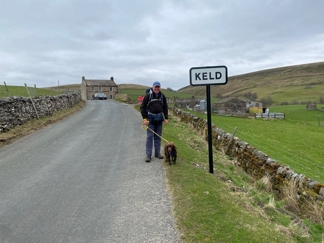
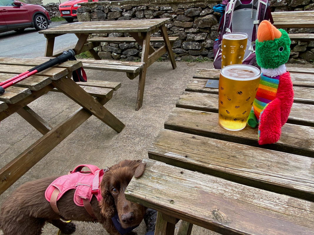
Arriving in Keld - must be time for a swift half eh?
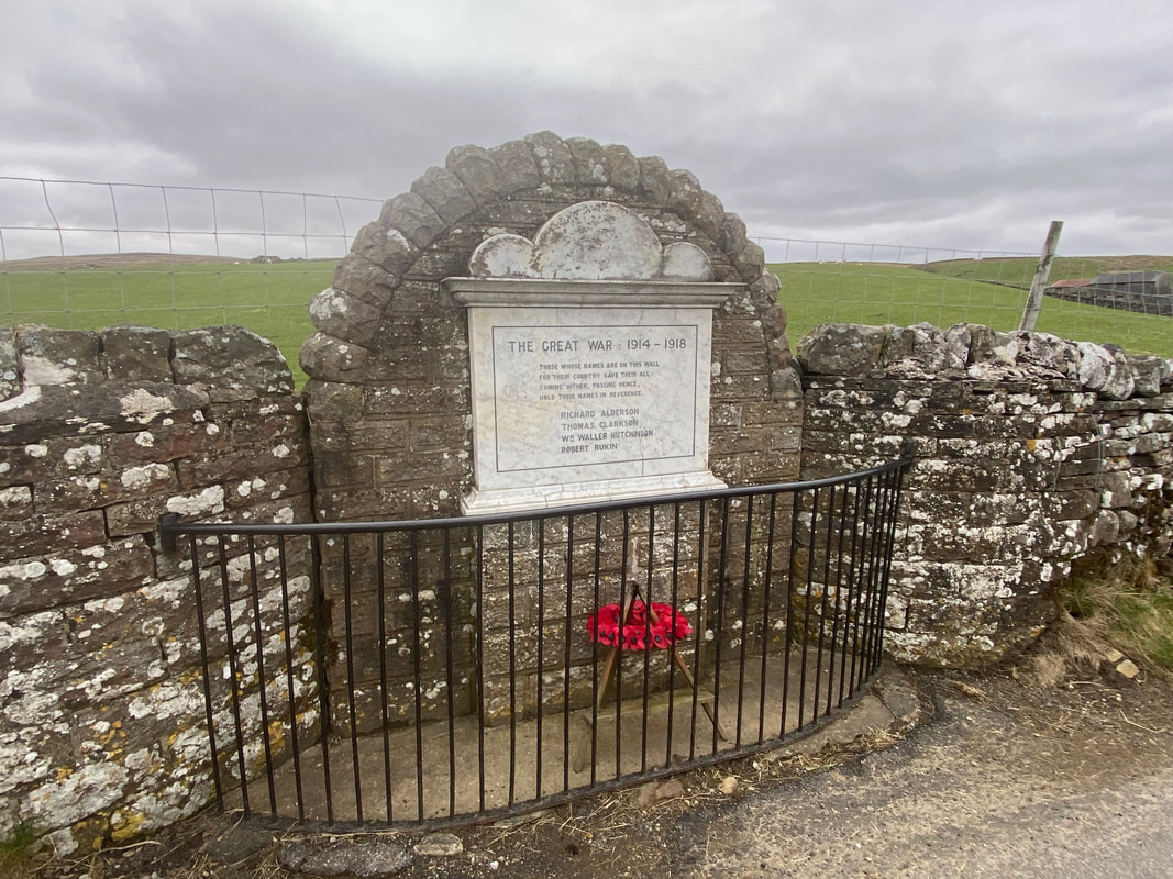
The War Memorial in Keld to those lost in the First World War
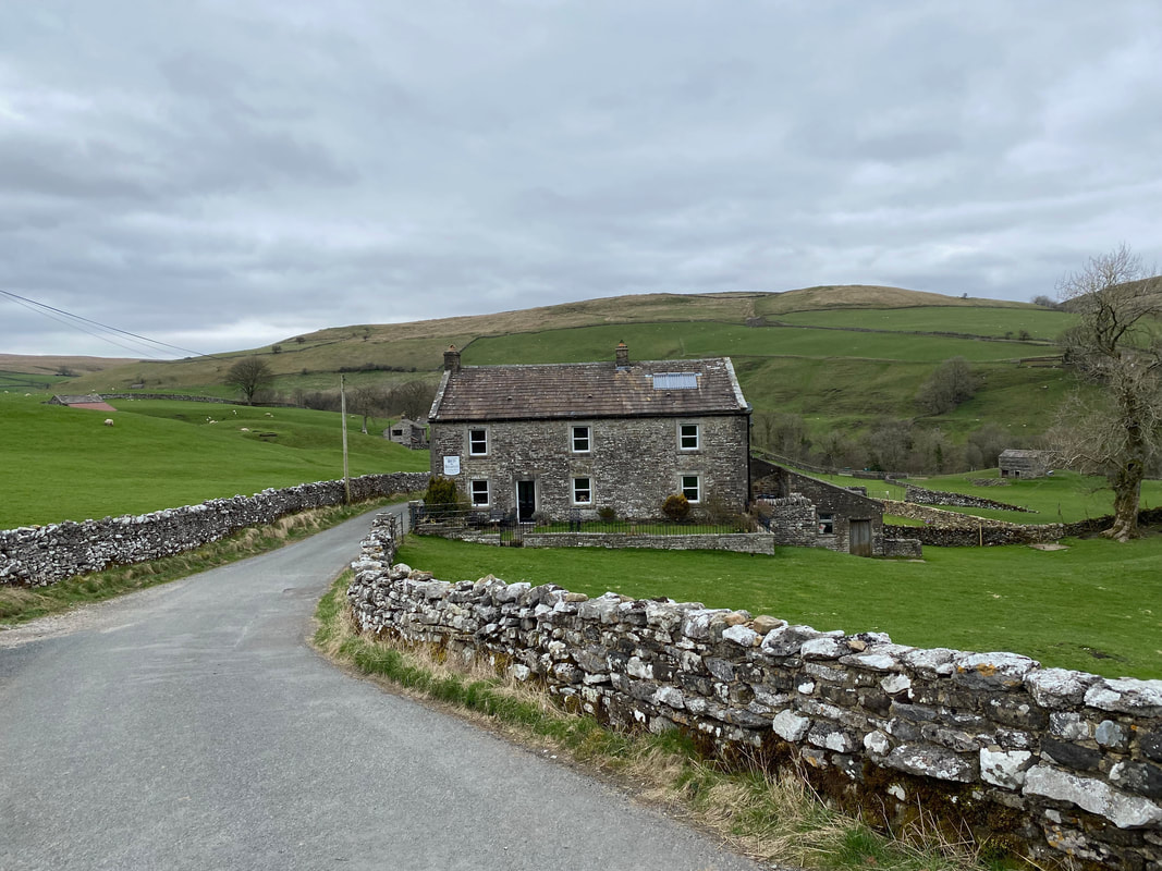
Our B&B at Butt House - but first we were off to find sustenance at Keld Lodge
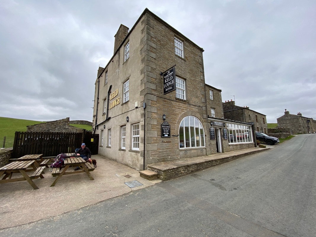
A veritable oasis in such a small village - I stay with Dave & Matt when I guide on the Coast to Coast and always look forward to it
Treats for the boys at Keld Lodge
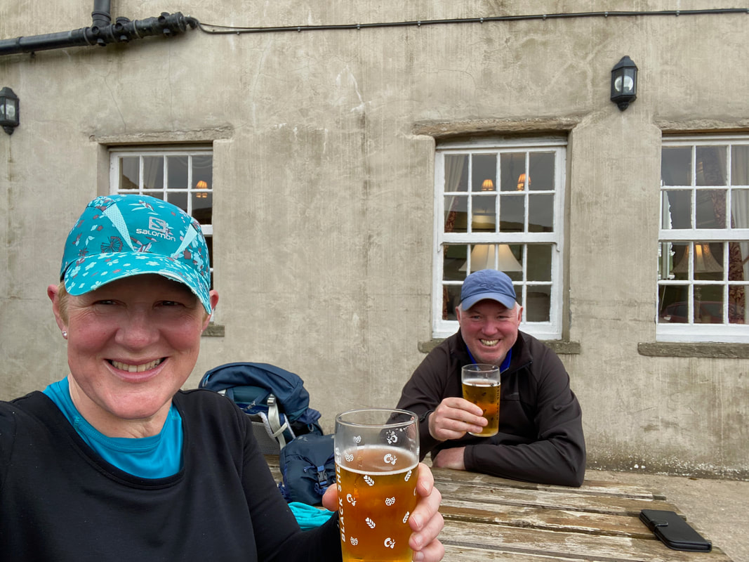
An end of day selfie at Keld Lodge after a super days walking
GPX Files - if these are required then please use the Contact Form to let me know and I will gladly forward them on
| herriot_way_day_2_actual.gpx |
Day 2 Data
|
Mileage
Cumulative Mileage Time Total Ascent |
12.5 miles
24.6 miles 6hrs 40mins (5hrs 30mins actual walking) 2578ft (786m) |
