Day 1 - Saturday 11 June 2016
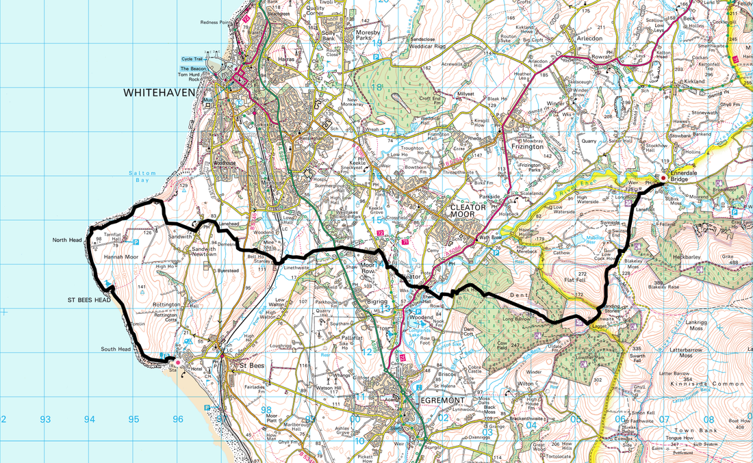
St Bees to Ennerdale Bridge (14.6 miles)
Up really early as we had to be at Pennine View Caravan Park for 0800 to catch our transport to St Bees, therefore we had booked an early Breakfast at The Jolly Farmers. They are all set up for this and we were away from there about 0745 to make the short drive up to the park. Duly checked in, we left our car keys with the office, placed our bags on to the Minibus and off we went. Accompanying us to St Bees to start the walk were 2 lads from Stoke who had completed several crossings already - we would see them later that night but would not meet them again until we caught the transport back 13 days later! The other occupants were Paddy & Pamela from the south who we would bump into off and on and 4 girls from the East Midlands - Liz, Tracey, Sharon & Lisa who were walking as far as Kirkby Stephen.
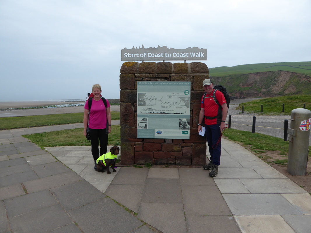
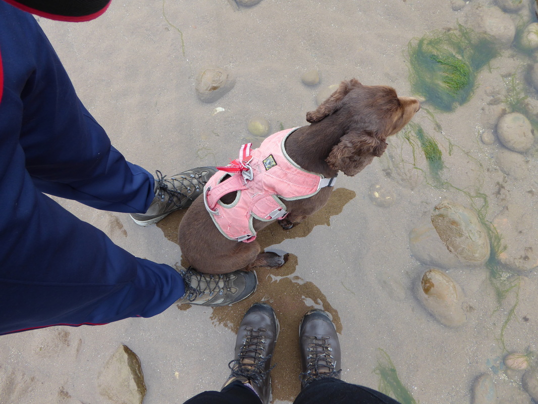
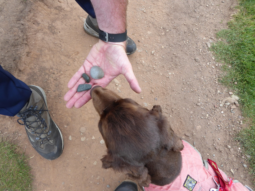
The journey to St Bees passed without incident therefore we decamped from the transport and readied ourselves for the 14 or so mile walk over to Ennerdale Bridge. As is tradition, the first thing to do was to dip our boots and paws in the Irish Sea and gather up a pebble each for casting into the North Sea on arrival in Robin Hood's Bay. We then headed over to the official start of the walk where we asked a passer by to take a photo of the 3 of us. Therefore at 1030 we were off.
The journey to St Bees passed without incident therefore we decamped from the transport and readied ourselves for the 14 or so mile walk over to Ennerdale Bridge. As is tradition, the first thing to do was to dip our boots and paws in the Irish Sea and gather up a pebble each for casting into the North Sea on arrival in Robin Hood's Bay. We then headed over to the official start of the walk where we asked a passer by to take a photo of the 3 of us. Therefore at 1030 we were off.
The official start of the Coast to Coast walk at St Bees
Boots & paws dipped in the Irish Sea .......
.... and a pebble each gathered up from the beach
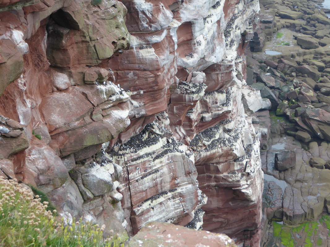
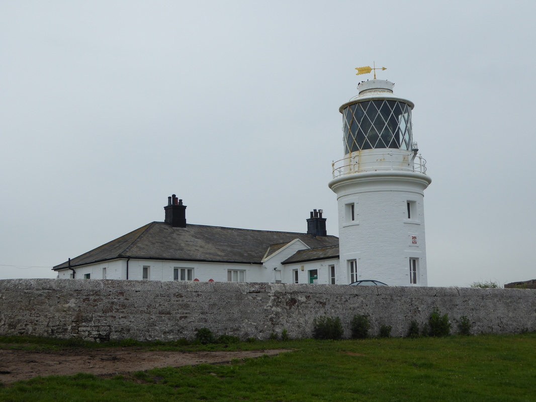
The weather today stayed pretty constant - overcast yet mild. South Head is popular with Bird Watchers therefore it was no surprise we bumped into one and we stopped for a quick chat with him. He advised us to pop over the stile at the next RSPB viewing area and look back towards St Bees along the headland where we would be greeted with an amazing sight. We did as we were advised and were greeted by the sight of hundreds of birds that had made their nests in the various rock crevices. Leaving them in peace, we ventured on to cross the inlet at Fleswick Bay passing two chaps who looked like they were doing the Coast to Coast too. Passing the impressive St Bees Lighthouse we soon started heading inland along the coast and shortly after met a chap who was sitting on a wall looking out to sea - this was Howard, a local chap who was out for a walk - we exchanged pleasantries and carried on.
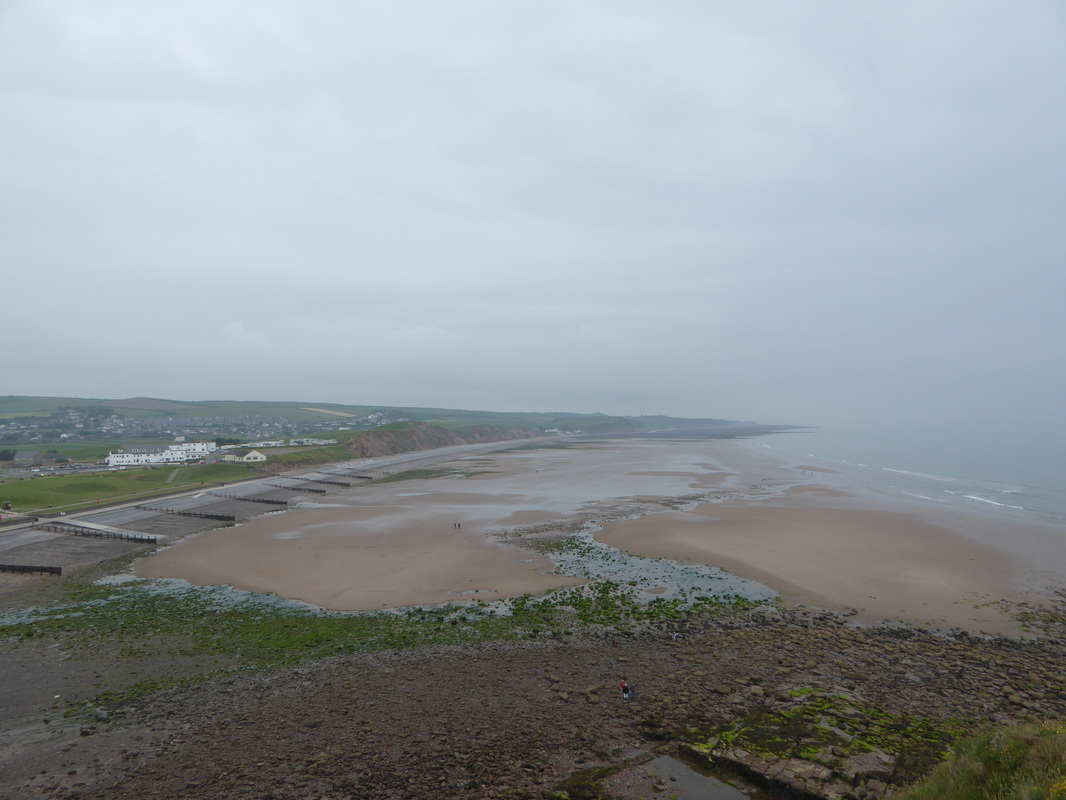
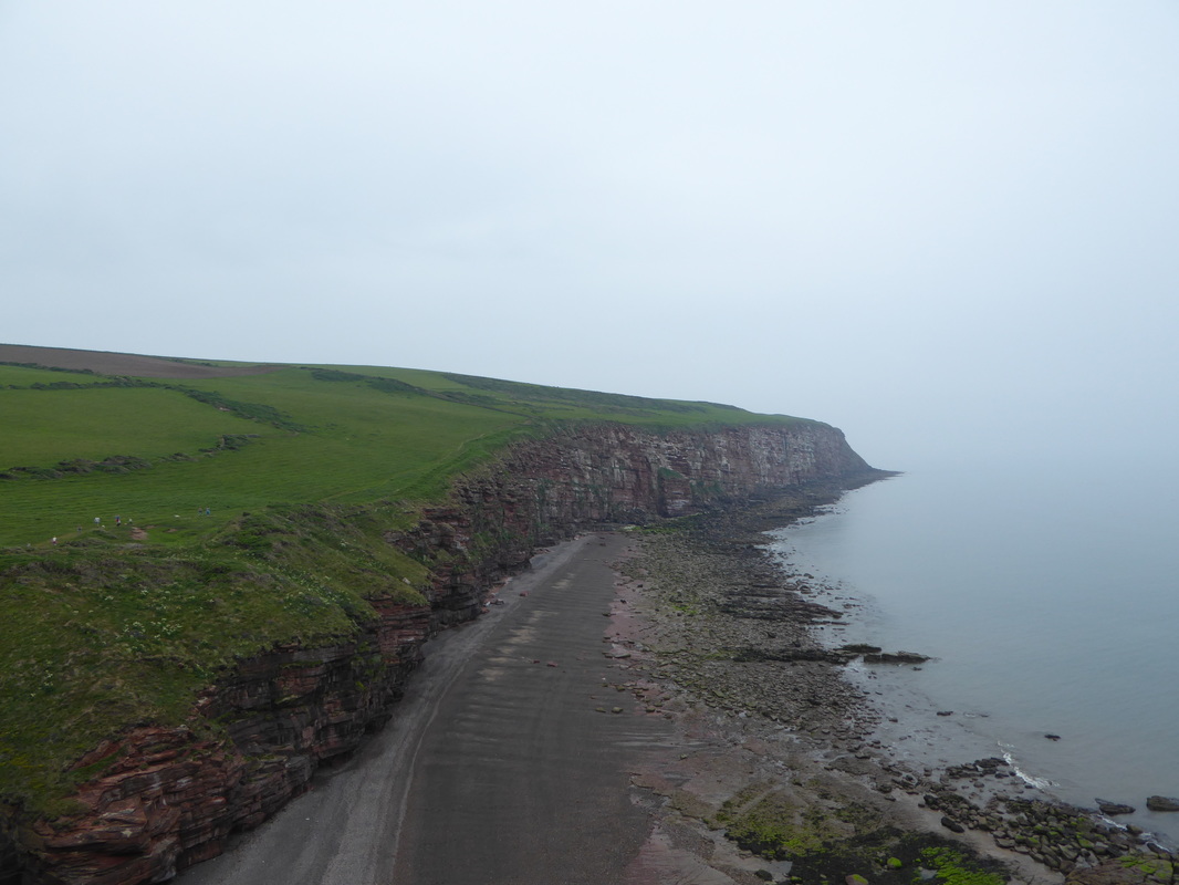
Looking back to St Bees from South Head
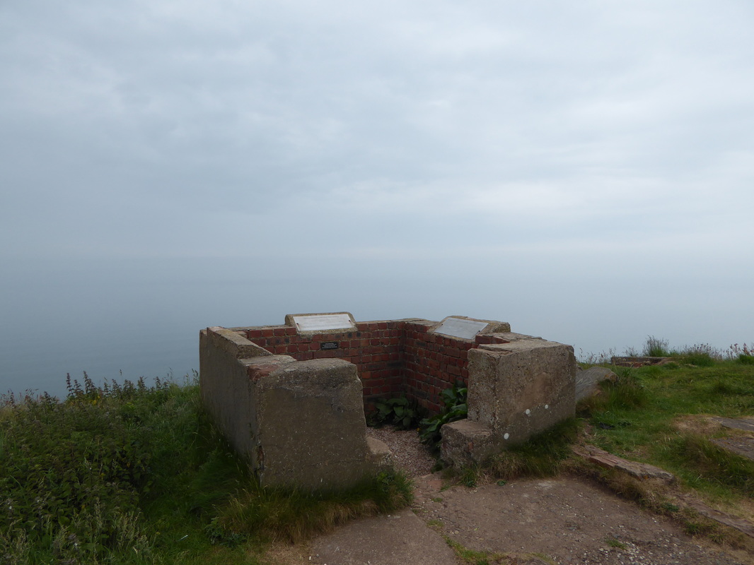
The remains of the Coastguard Station on South Head - built in 1938 and permanently staffed during World War 2. The Isle of Man is 30 miles distant but we had no view of it today.
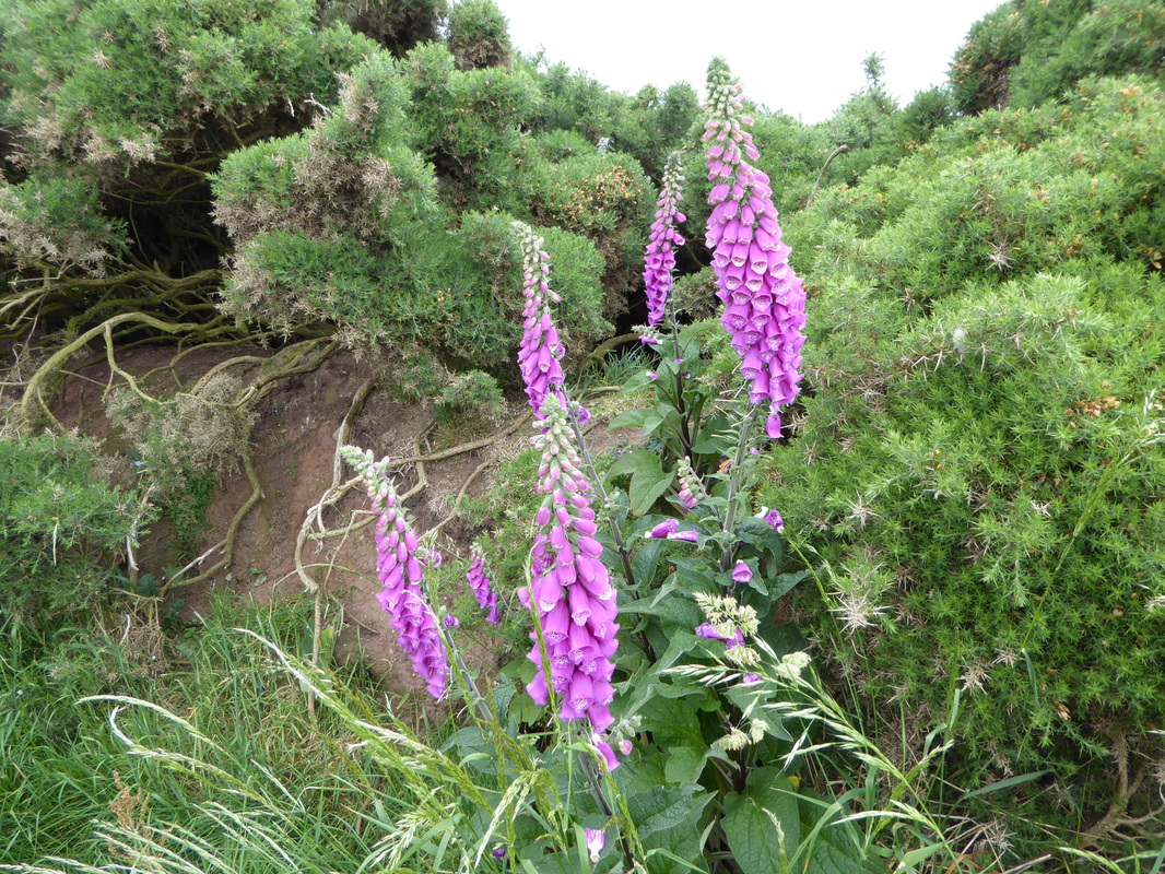
Beautiful Lupins along the headland
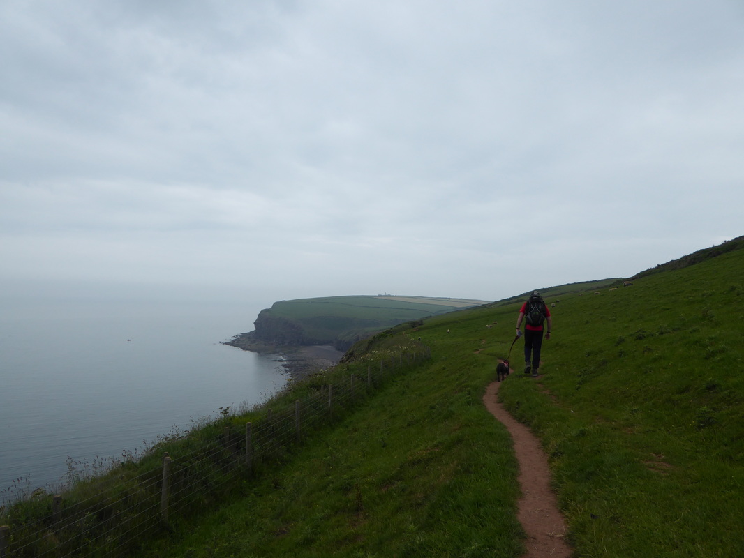
Looking to North Head - St Bees Lighthouse can just about be seen
Had it not been for our chat with the Bird Watcher we would have missed this - Razorbills, Puffins & Guillemots aplenty here
The inlet at Fleswick Bay - the 2 people ahead of us are Ed & Mike from Boston, USA
Angie & Fudge making their way back up to the headland on the other side of the inlet
Fleswick Bay
St Bees Lighthouse
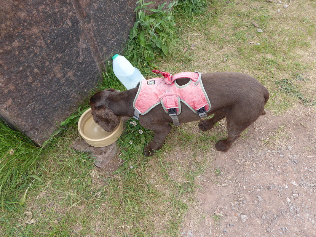
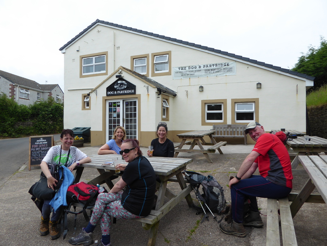
At the houses at Birkhams Quarry we stopped to give Fudge a drink as some kind soul had left water and a bowl out. Howard caught us up and asked if we were on the Coast to Coast. We then got chatting some more and he explained he was from Whitehaven and that he was starting the reverse walk from Robin Hood's Bay in a few days time with a friend of his. By our reckoning we would probably meet again going in opposite directions somewhere between Richmond & Reeth (and we did, more later). We walked down the road into Sandwith together and as Howard headed off (we saw him an hour or so later too) we bumped into the 4 girls who we were on the bus with this morning. They were sitting outside the Dog & Partridge therefore feeling a tad thirsty ourselves we joined them for a drink - after all we were in no rush. Before leaving the pub, the 2 chaps who we saw at Fleswick Bay arrived - this was Michael and Ed from Boston, USA who were walking as far as Kirkby Stephen.
Nice of somebody local to leave out a dog bowl & fresh water
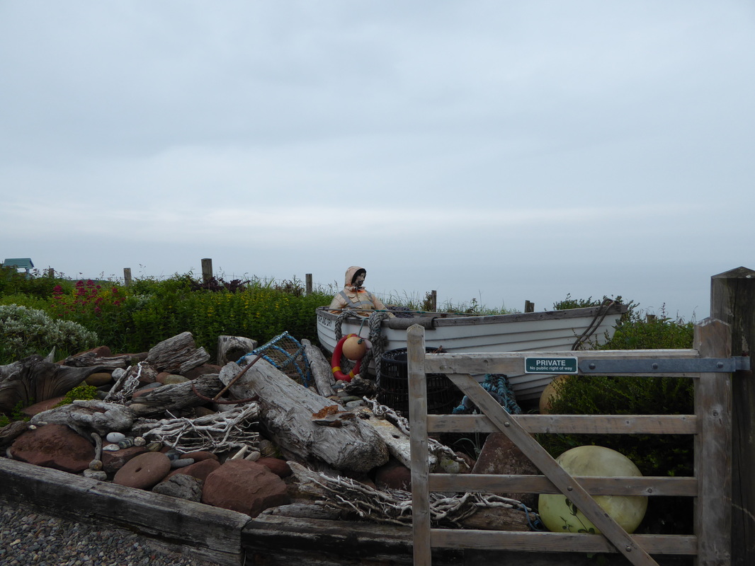
This was here in 2012 - still High & Dry
A few miles in at the Dog & Partridge in Sandwith. Liz, Tracey, Sharon & Lisa were on the bus with us from Kirkby Stephen
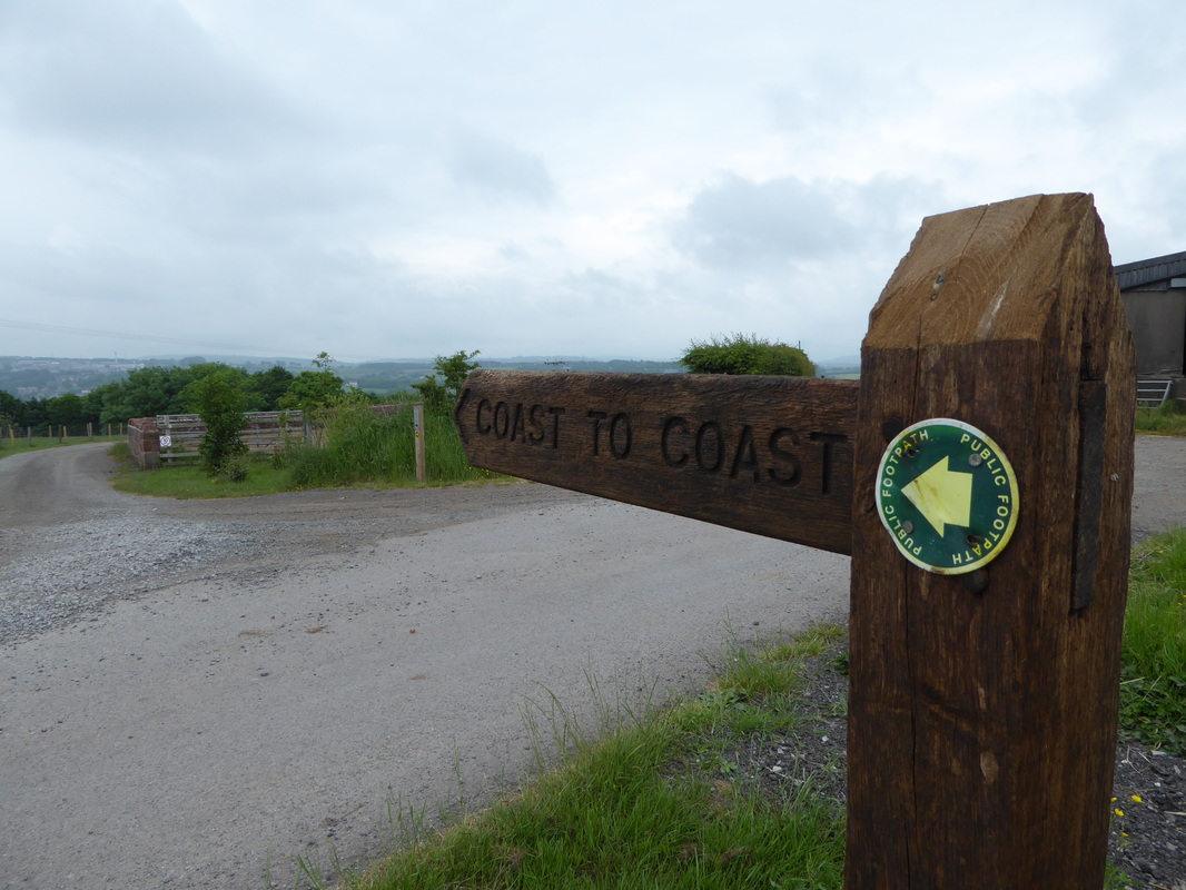
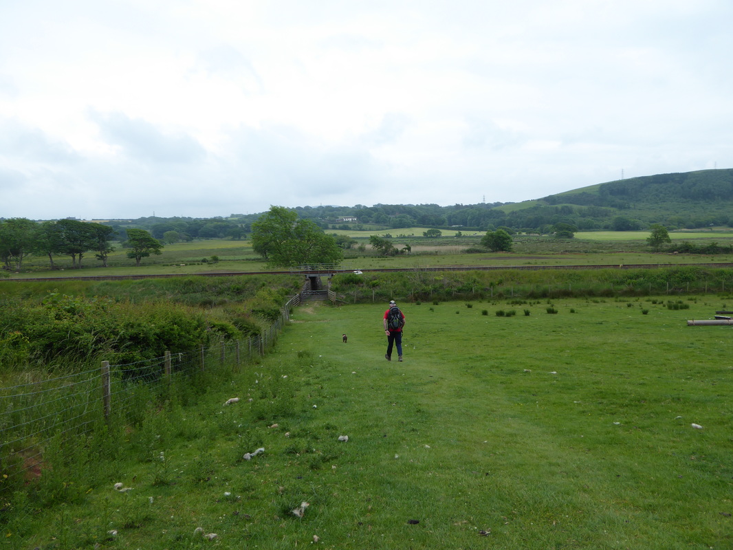
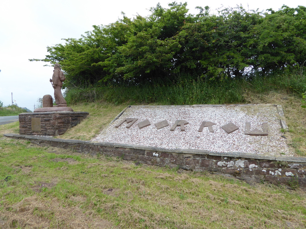
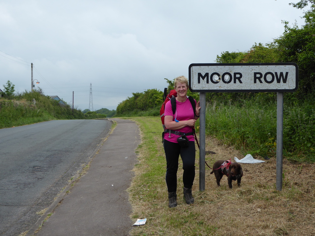
Tearing ourselves away from the Dog & Partridge the route passed through a couple of farms before heading under the railway at a tunnel near Stanley Pond. Keeping left of a small forest we eventually arrived at the busy A595 and the Coast to Coast Statue. Shortly after the A road was a choice as to whether we followed the route via Moor Row or take a cycle track which would bring us out near Cleator Cricket Ground. We decided to stick with the original route but we could see the girls behind us follow the cycle track. Passing through Moor Row we headed along Wainwright Passage to arrive at the Cricket Ground in Cleator where there was the sound of leather on willow as there was a match in full swing.
Good signposting throughout the walk apart from inside the Lake District National Park where it is virtually non existent
Heading down to the railway tunnel near Stanley Pond
The Coast to Coast Statue at Moor Row
Entering Moor Row - poor old Fudge looks pooped but it's all a show
That's neat, That's neat, That's neat, That's neat I really love your Tiger Feet
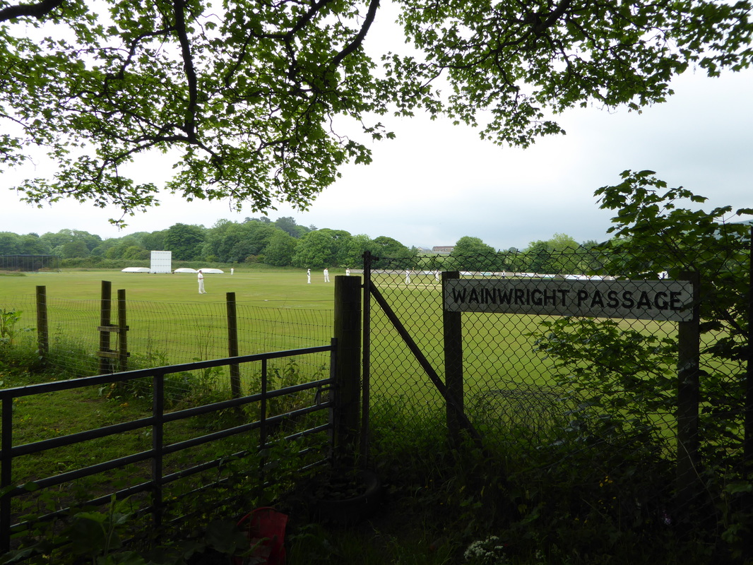
Wainwright Passage near Cleator Cricket Ground
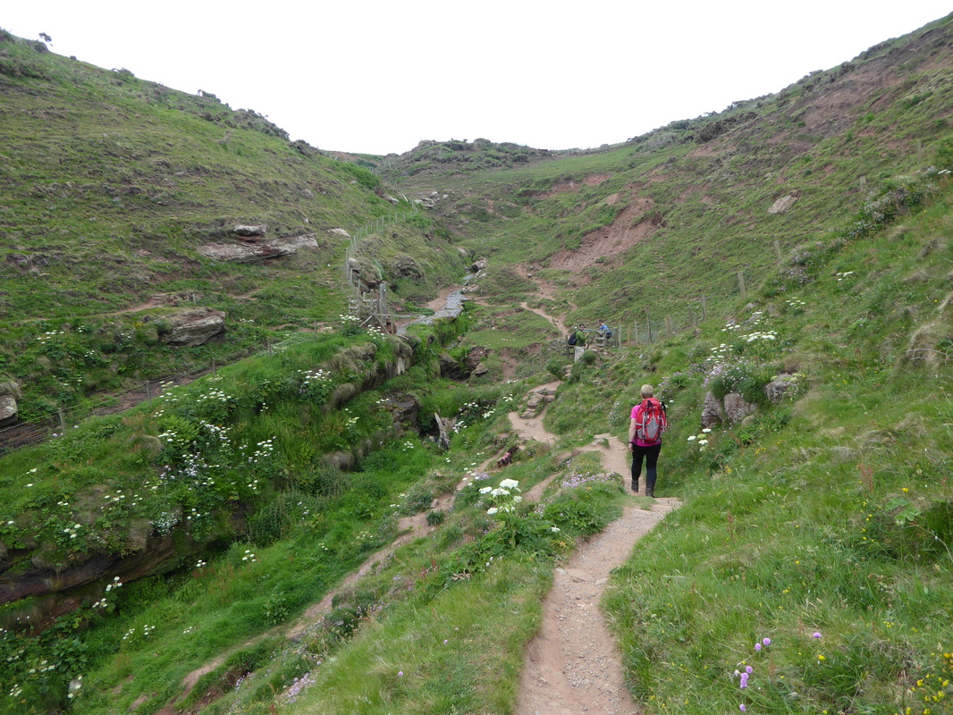
Leaving the Cricket Ground, the route then passed through the village of Cleator where the Village Shop was sadly closed. Crossing the road at the shop, the route then weaved its way down to Blackhow Bridge - just before the bridge we bumped into an elderly American couple who were wanting to hire a taxi and had spotted one parked outside a house. We saw them a few days later above Honister and we can only guess they had had enough walking for the day and wanted to bail out. Entering Blackhow Wood the path became a tad boggy & muddy once we left a forest track but improved as we emerged from the forest. There now began a gradual and long climb up to the summit of Dent where we could just about make out the Ennerdale fells through the murk.
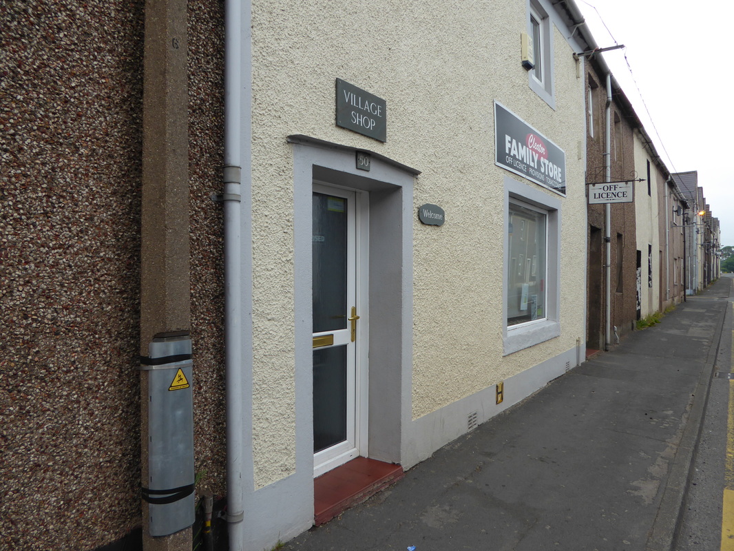
Do not rely on village shops being open in order to top up on supplies - Cleator's was shut on a Saturday
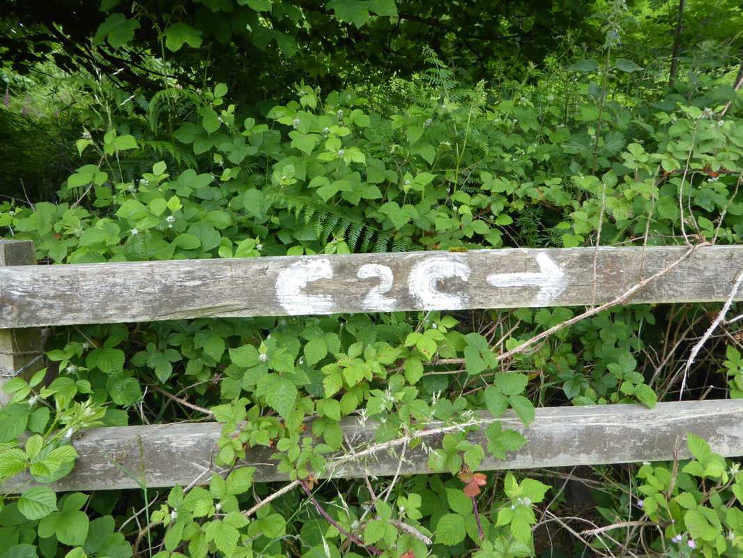
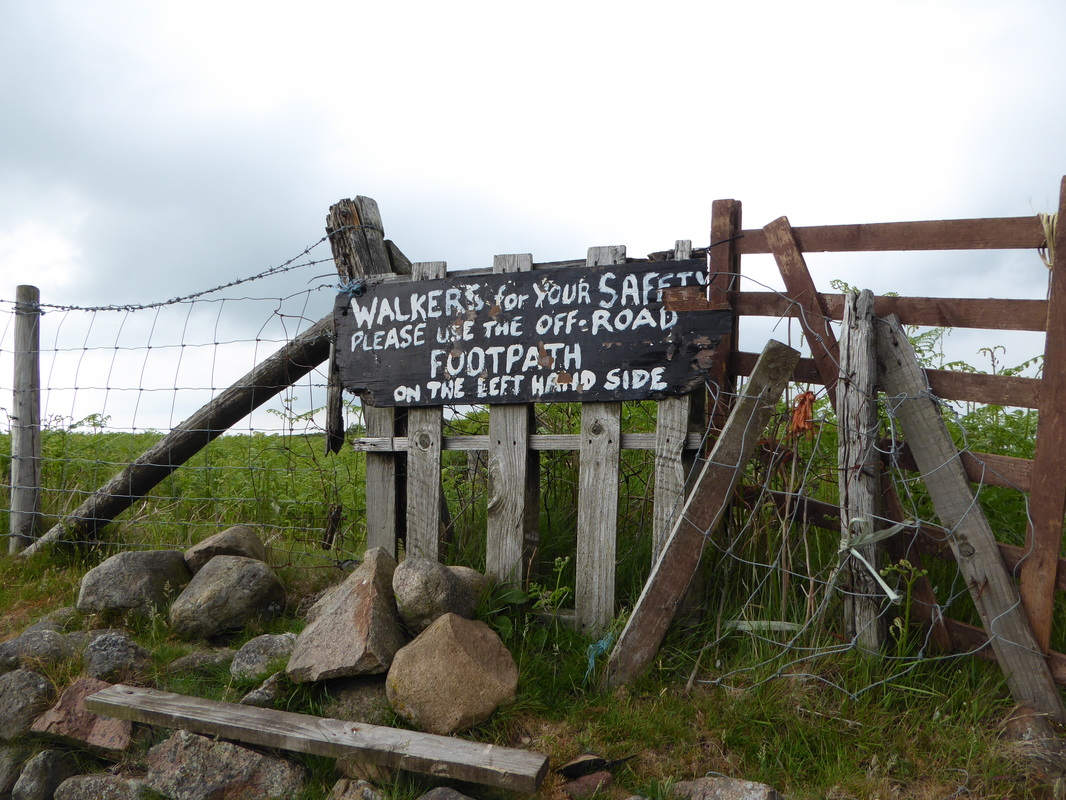
Makeshift signage near Cleator - we came across a lot of this on the walk. Locals must see a lot of Coast to Coasters bimbling about looking confused!
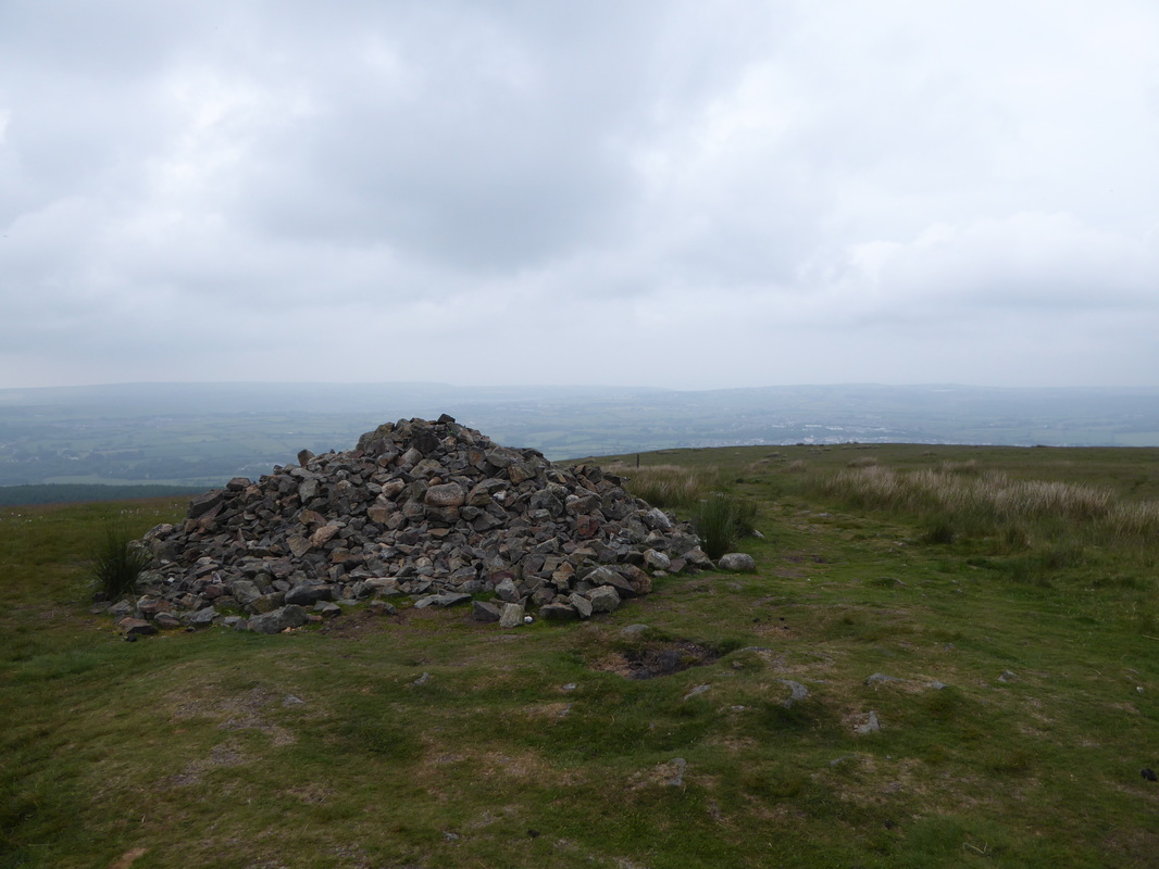
A large cairn on Dent Fell - a lot of people probably think so but this is not the summit........
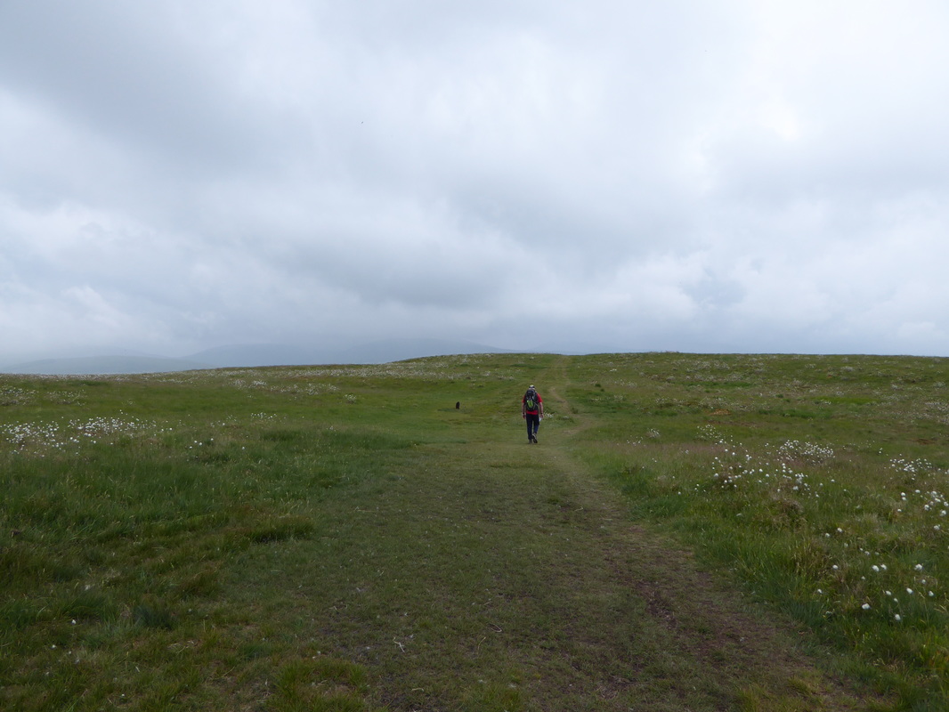
....... it's a bit further on..........
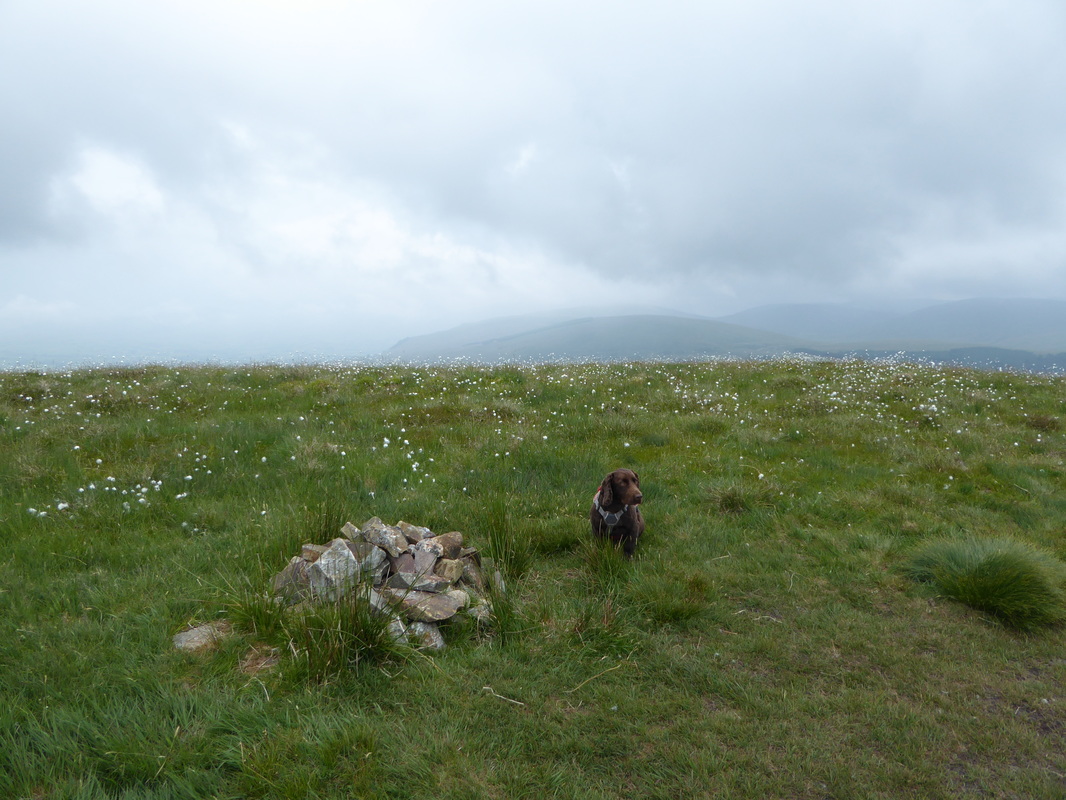
......here!
From Dent's uninspiring summit the route heads over a massive, deer-proof stile to contour Raven Crag before making a knee jarring and very steep descent to the valley floor at Nannycatch Gate. The transit through Nannycatch is delightful and all too soon arrives at Low Cock How Farm and the road into Ennerdale Bridge. Care needed to be taken here for a short distance as the road is extremely busy at certain times of the day because it is a short cut from nearby Sellafield. Crossing a cattle grid, walkers are advised to take the footpath which leads all the way in to Ennerdale Bridge and is thereby a safer option than the road. Ahead of us were a couple who we soon caught up with - this was Joel & his daughter Hannah From Michigan, USA who were also walking the Coast to Coast - we would see them on Day 2 but no more after that.
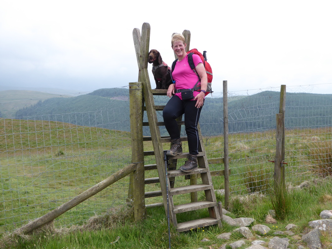
The "Deer proof" stile near Nannycatch - Fudge did not get up there on his own
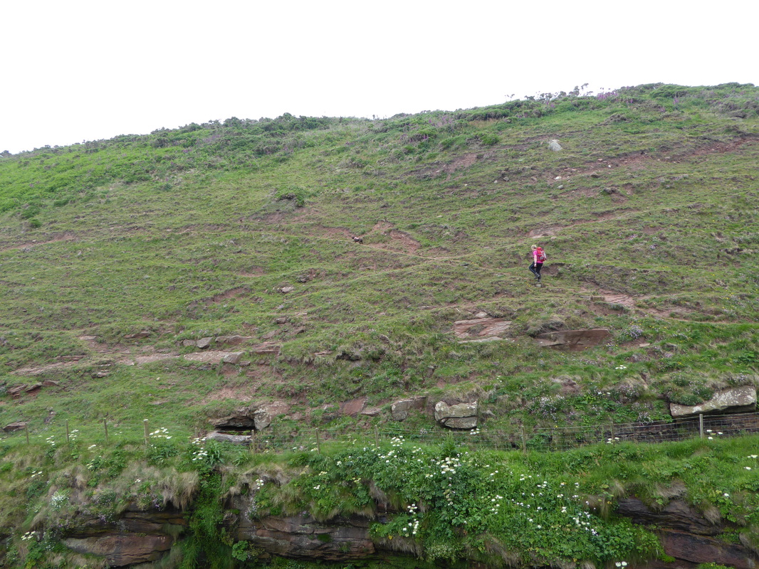
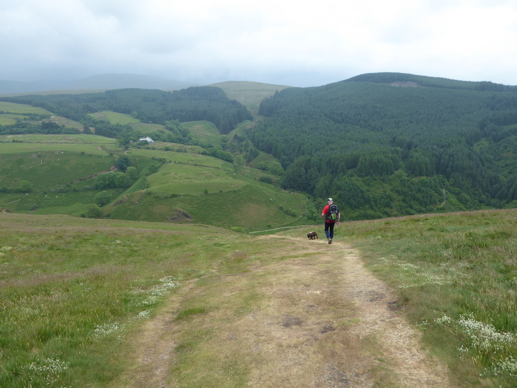
The start of the very steep, knee jarring descent to Nannycatch Gate - the picture will never tell how steep this descent really is!
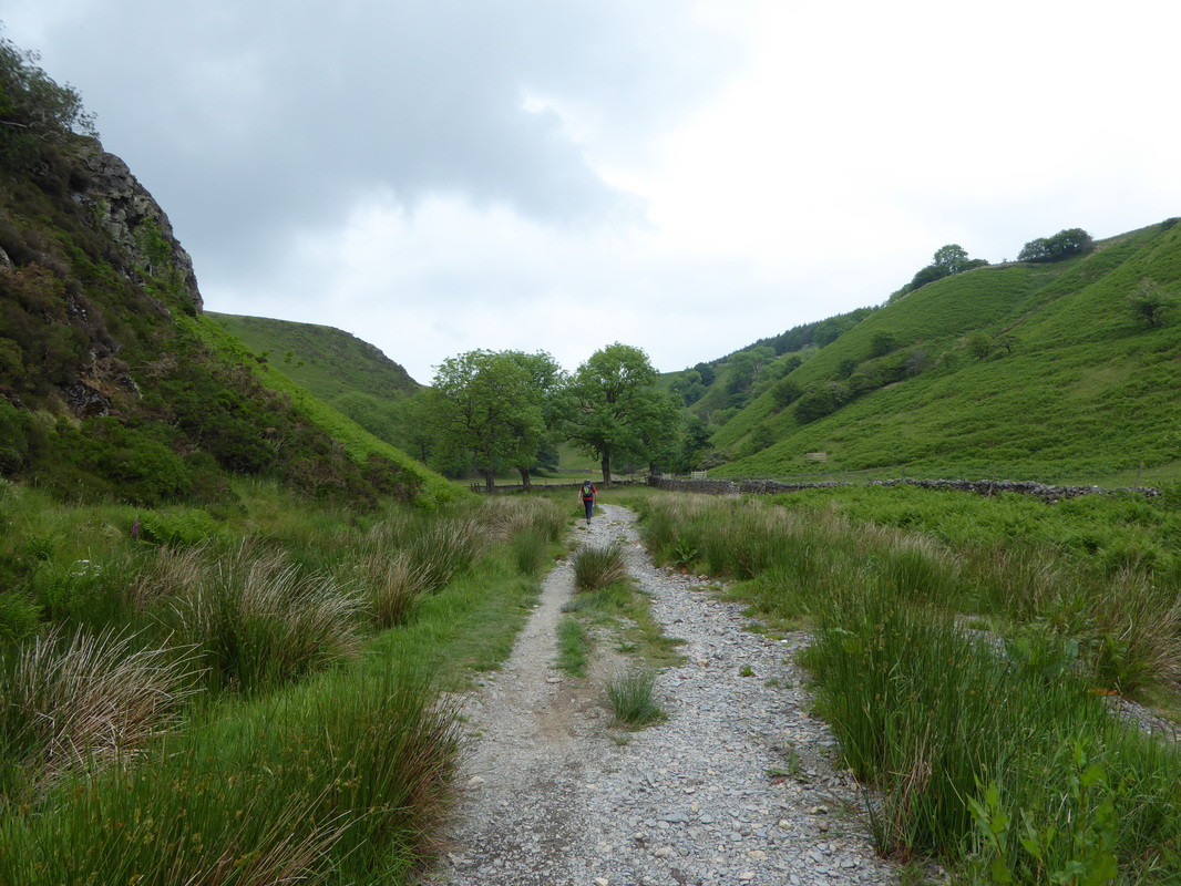
The delightful valley of Nannycatch
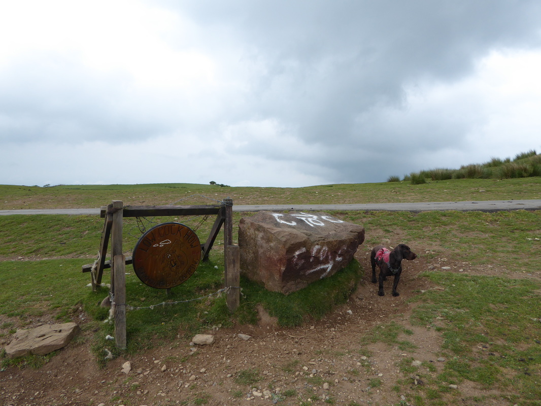
More makeshift signage at Low Cock How Farm - not far to Ennerdale Bridge now
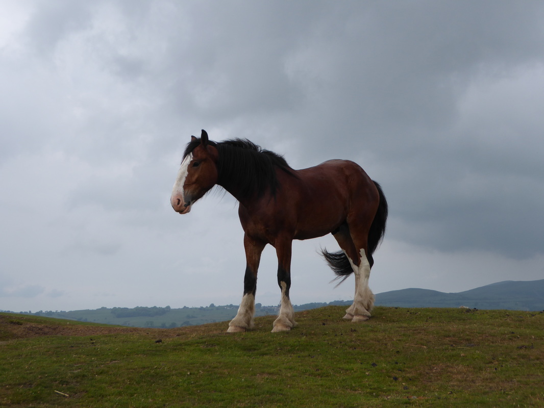
Lots of these big lads about near Low Cock How
No brainer really - the road into Ennerdale Bridge is a death trap as it is a cut through to & from Sellafield
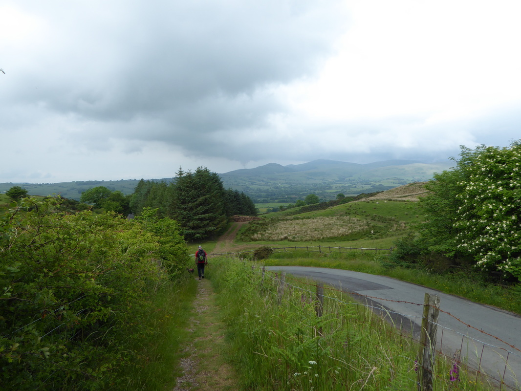
The excellent footpath alongside the road into Ennerdale Bridge
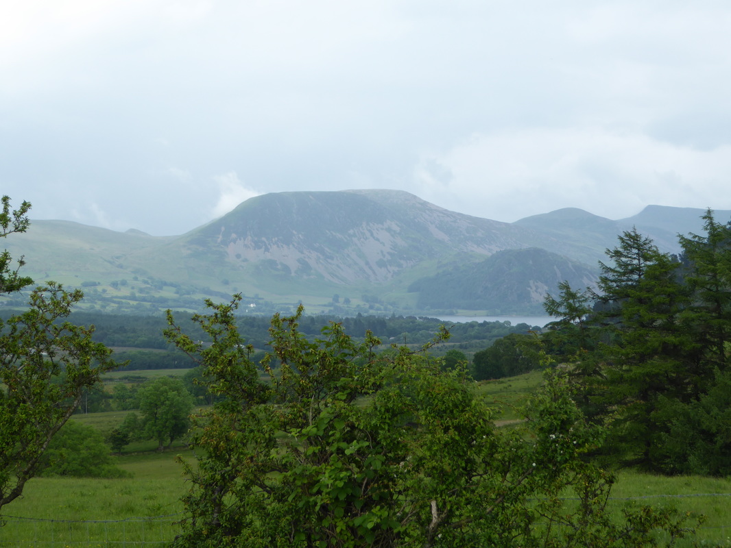
Ennerdale Water with Great Borne, Starling Dodd & Red Pike for company
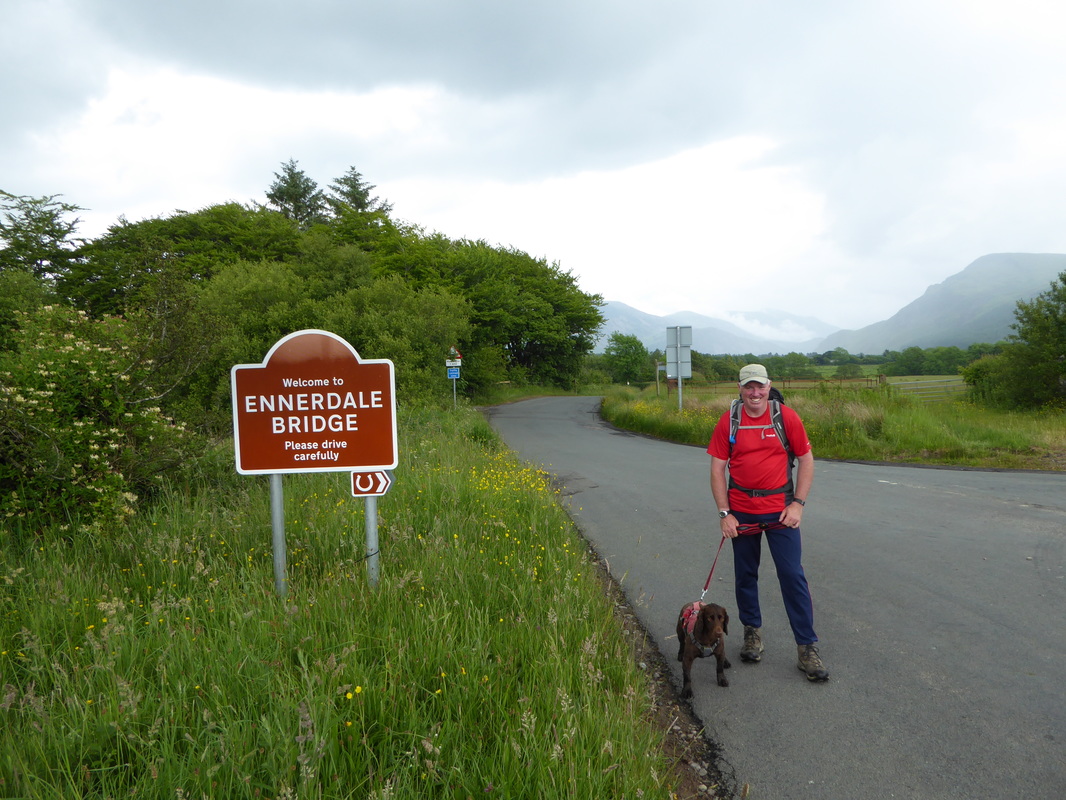
Here we are - Day 1 cracked with just a few hundred yards to walk to our bed for the night. Fudge is giving it his "is that it?" pose
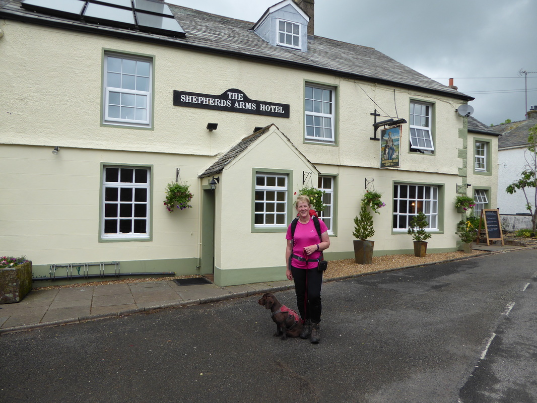
The footpath soon crossed the road onto another and made its way to Ennerdale Bridge and the end of our first day. We walked through the village to our B&B, The Shepherds Arms which is one of the two good pubs in Ennerdale Bridge. On checking in we were informed that whilst the pub was dog friendly during the day, Fudge would not be allowed in the bar after 1800 which was a tad annoying. Had we known this we may not have booked in but no matter. After a shower and a sort out we went down to the bar for Dinner (minus Fudge who was persona non grata and was snoozing away anyway) and got talking to Joel & Hannah, Michael & Ed and later on the 4 girls came in for a meal. We also had a quick chat with Paddy & Pamela who were also staying at the pub.
Despite an overcast weather day at least it did not rain. Tomorrows forecast was looking much better - we would see!
Despite an overcast weather day at least it did not rain. Tomorrows forecast was looking much better - we would see!
Overnight Accommodation
The Shepherds Arms, Ennerdale Bridge - www.shepherdsarms.com
One of two pubs in the village, this was a basic and pleasant stay despite their dog policy which should really have been made known to us at the time we made the booking. Our evening meal was very good as was the beer.
One of two pubs in the village, this was a basic and pleasant stay despite their dog policy which should really have been made known to us at the time we made the booking. Our evening meal was very good as was the beer.
Day 1 Data - taken from SATMAP Active 10 Plus
|
Mileage
Cumulative Mileage Time Cumulative Time Maximum Ascent Total Ascent Cumulative Ascent |
14.6 miles
14.6 miles 6 hrs 52 min 6 hrs 52 min 1174 feet 2831 feet 2831 feet |
