Gunnerside, Swaledale, Keld & Muker - Wednesday 14 September 2011
Route
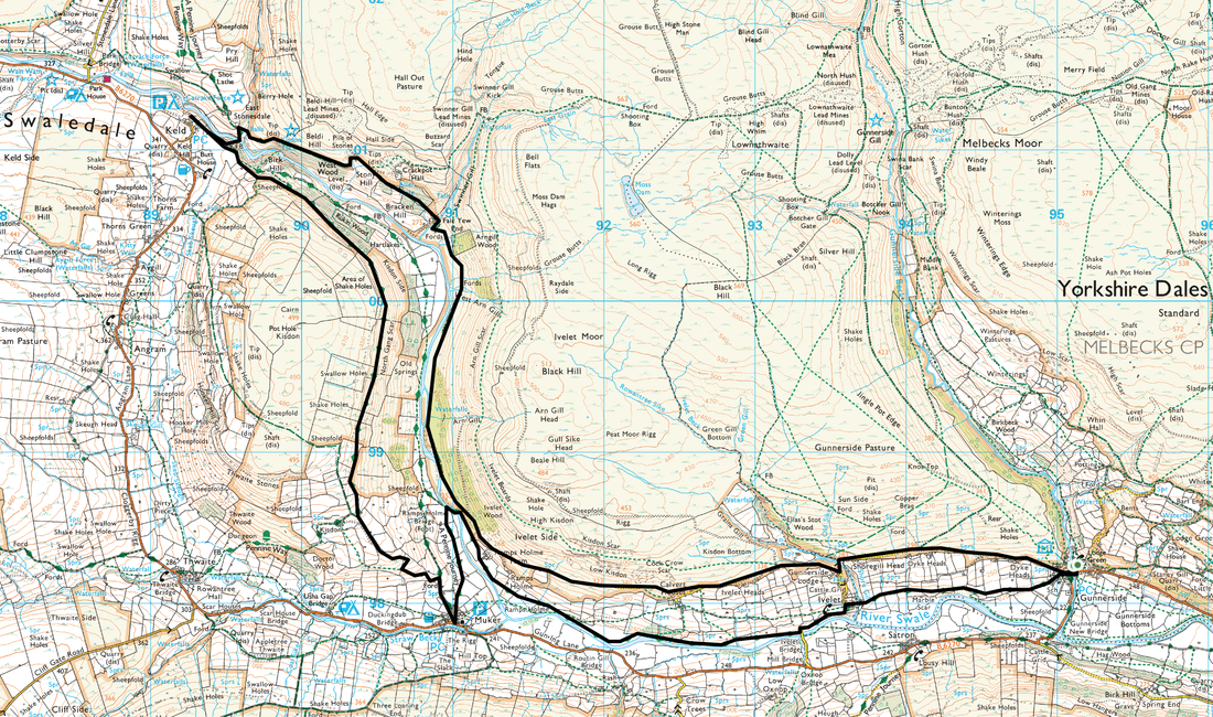
Gunnerside - Ivelet - Ramps Holme - Swinner Gill - Keld - North Gang Scar - Muker - Rampsholme Bridge - Ivelet Bridge - Gunnerside
Parking
Gunnerside near The Old Smithy (Free) - Grid Ref SD951983 (Nearest Postcode is DL11 6LD)
Mileage
12 miles
Terrain
Valley paths & grassy tracks throughout with some minor road walking on very quiet lanes. The section of the Pennine Way between Keld & Muker on the flanks of Kidson is rough going in part therefore just take your time.
Weather
Overcast with the odd sunny spell
Time Taken
6hrs
Total Ascent
1542ft 470m
Map
OL30 - Yorkshire Dales (Northern & Central Areas)
Walkers
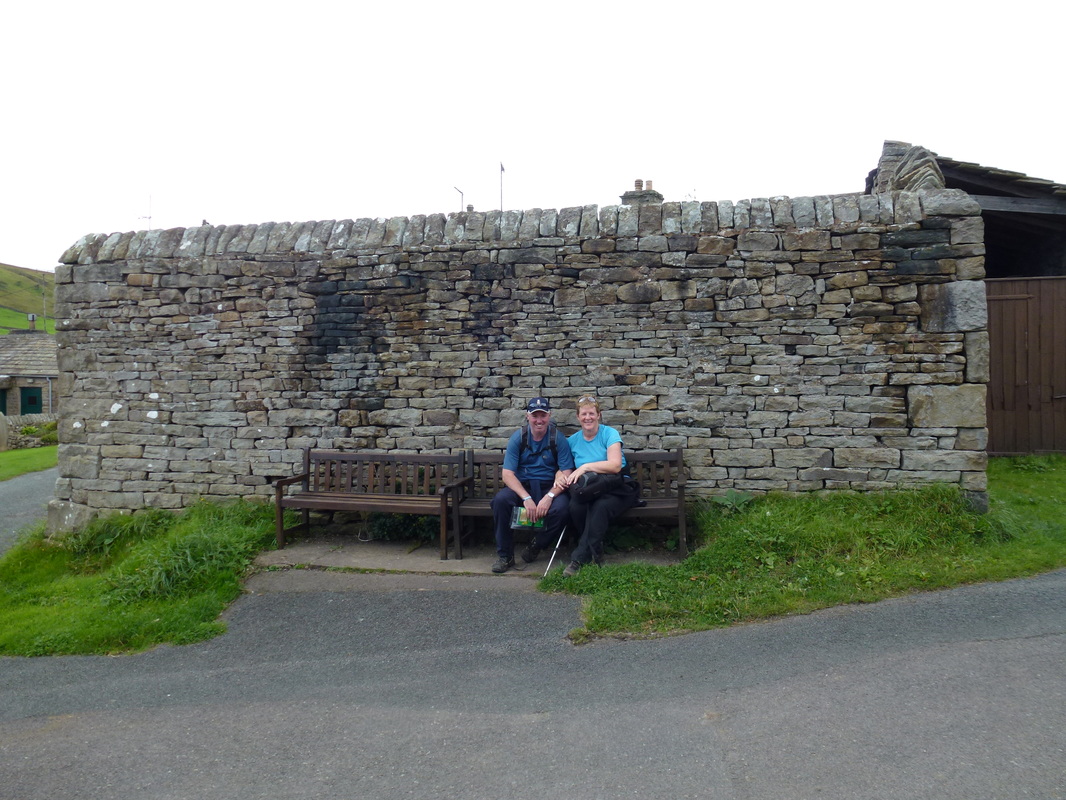
Dave & Angie
|
GPX File
|
| ||
If the above GPX file fails to download or presents itself as an XML file once downloaded then please feel free to contact me and I will send you the GPX file via e-mail.
Route Map
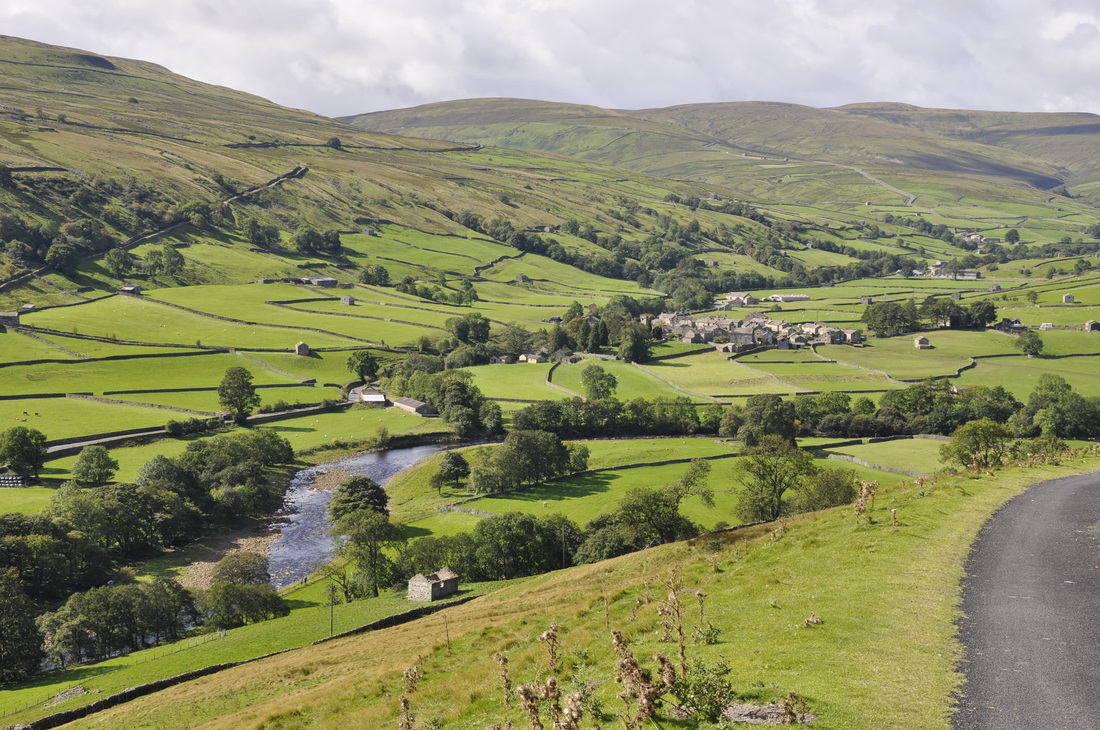
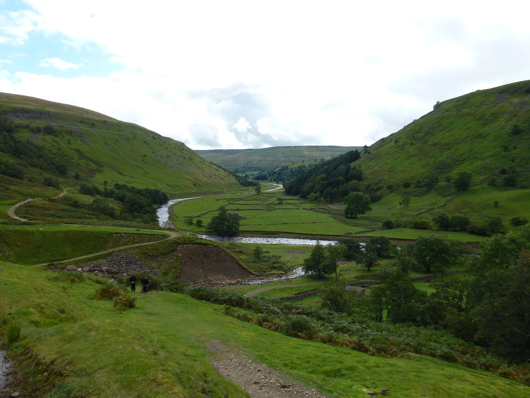
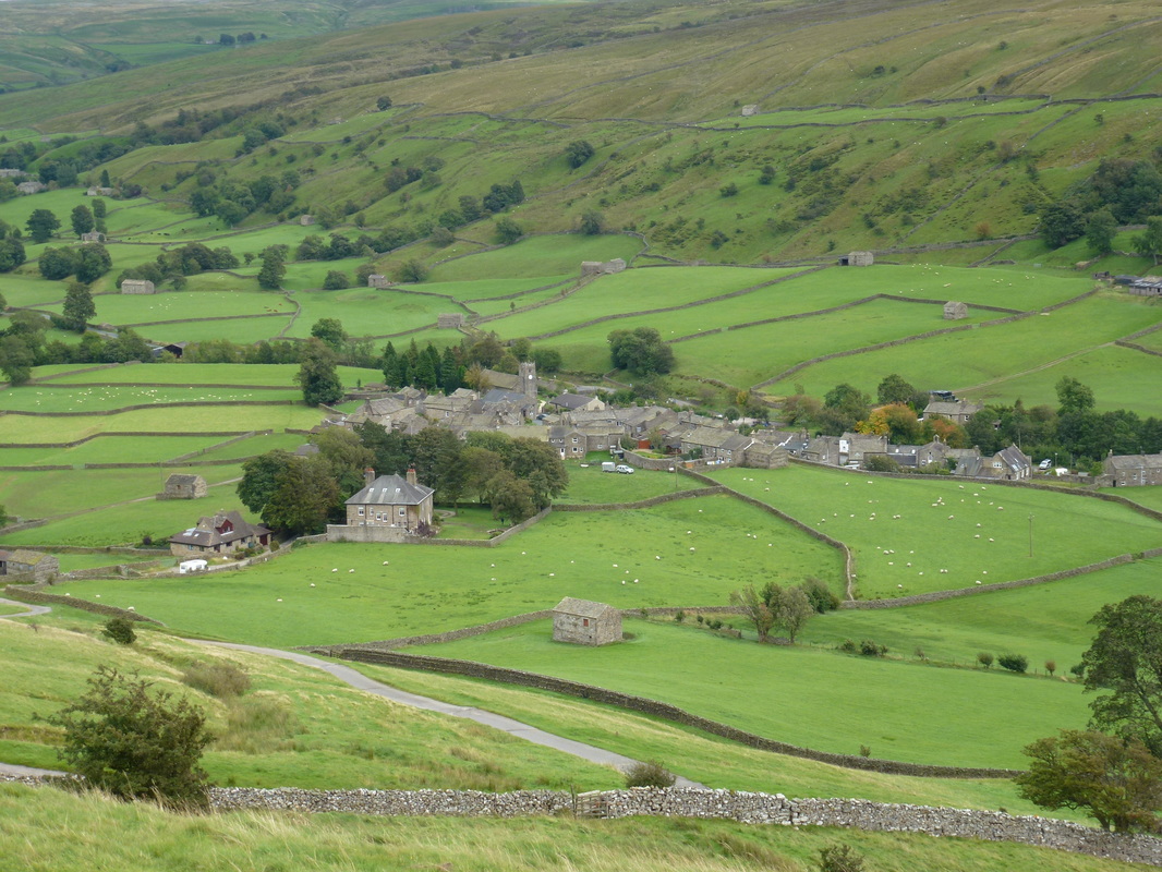
The River Swale & Muker from the track above Ivelet
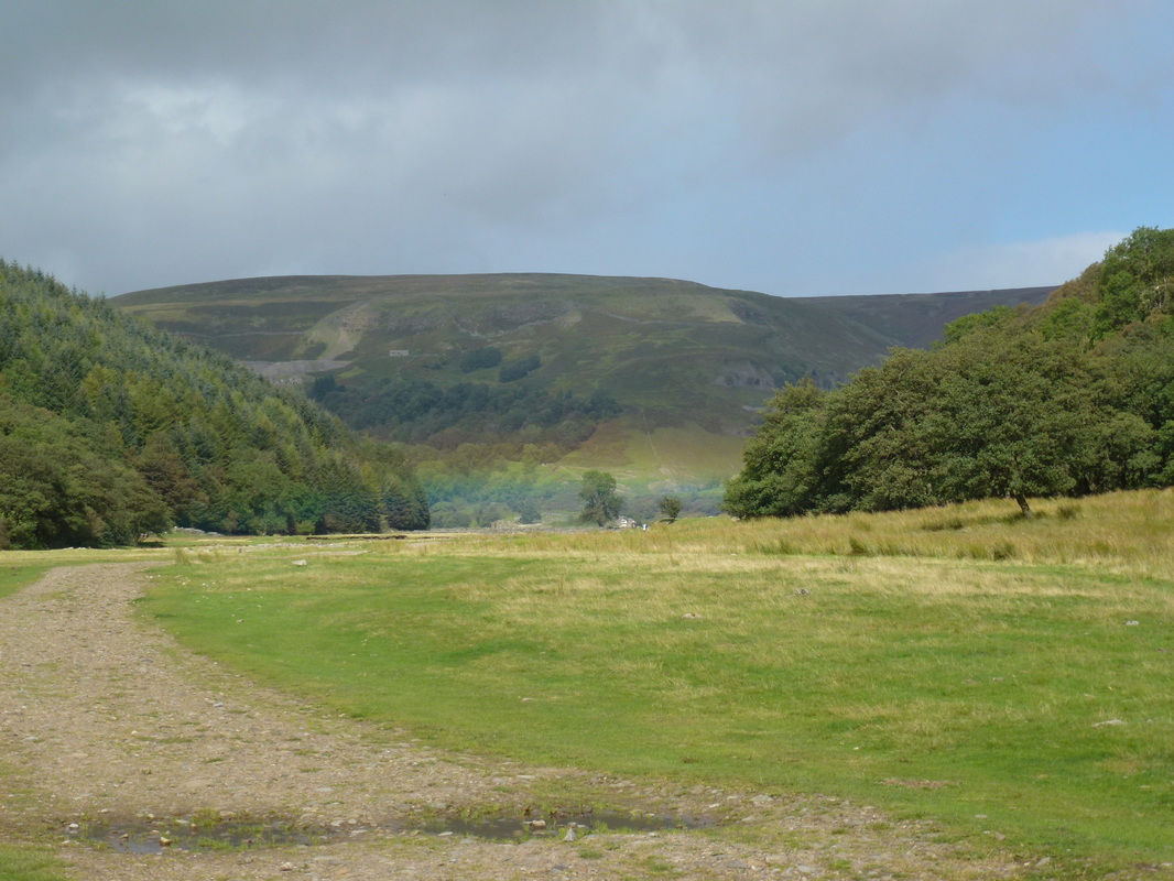
Looking to Hall Moor
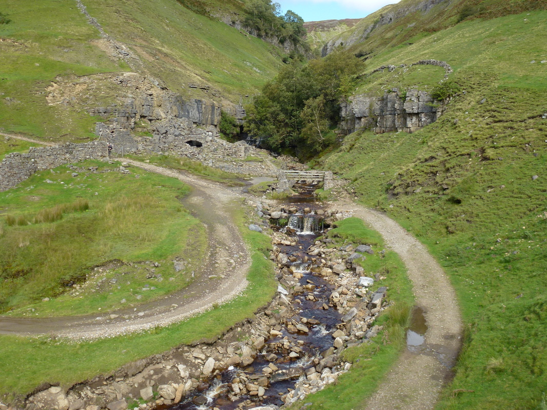
Continuing above the Swale as we head to Swinner Gill
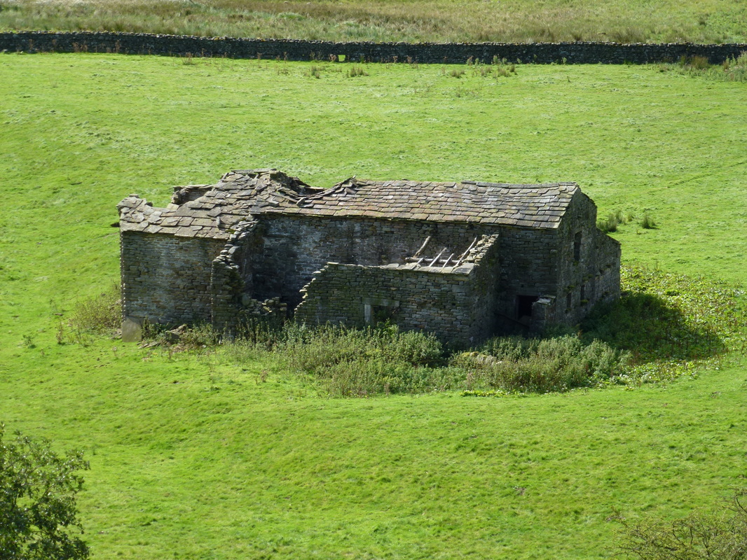
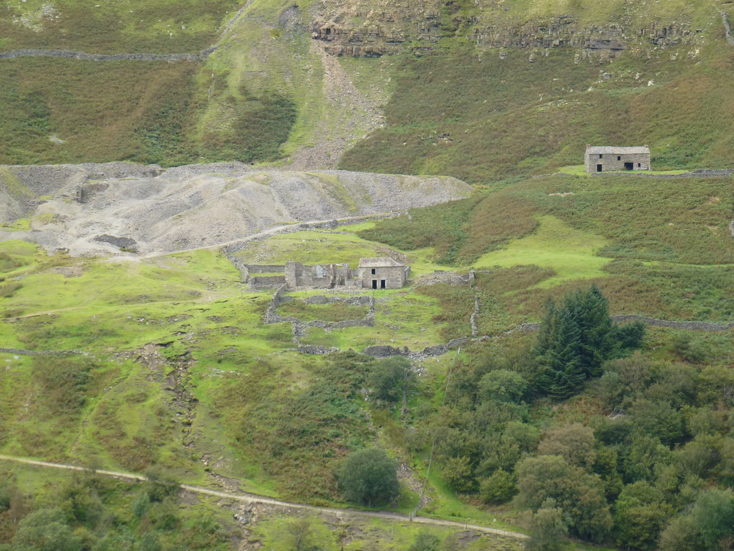
Lots of ruined farmhouses and feed barns scattered about
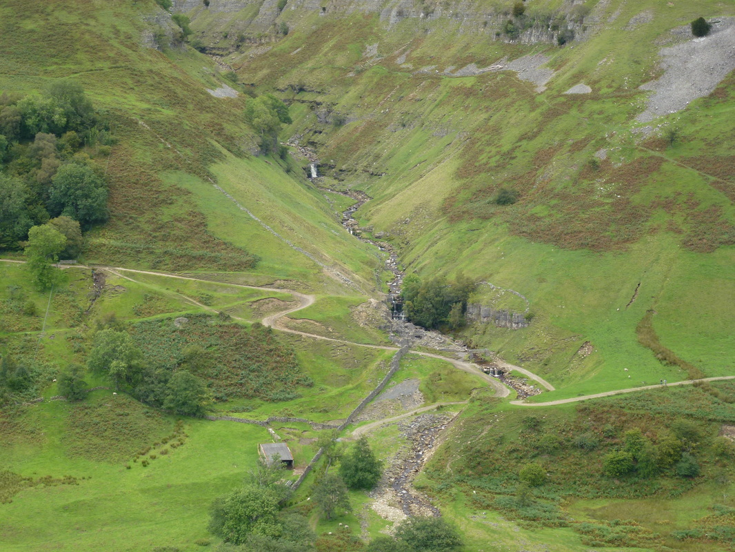
Swinner Gill
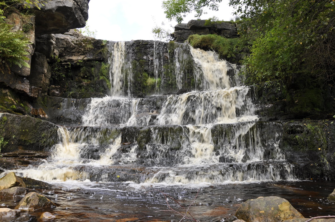
A lovely cascade of falls at Swinner Gill
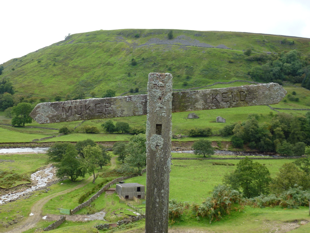
Looking to Kisdon - not far now to Keld
Our outward route from Rampsholme Bridge can be seen to the left above the Swale
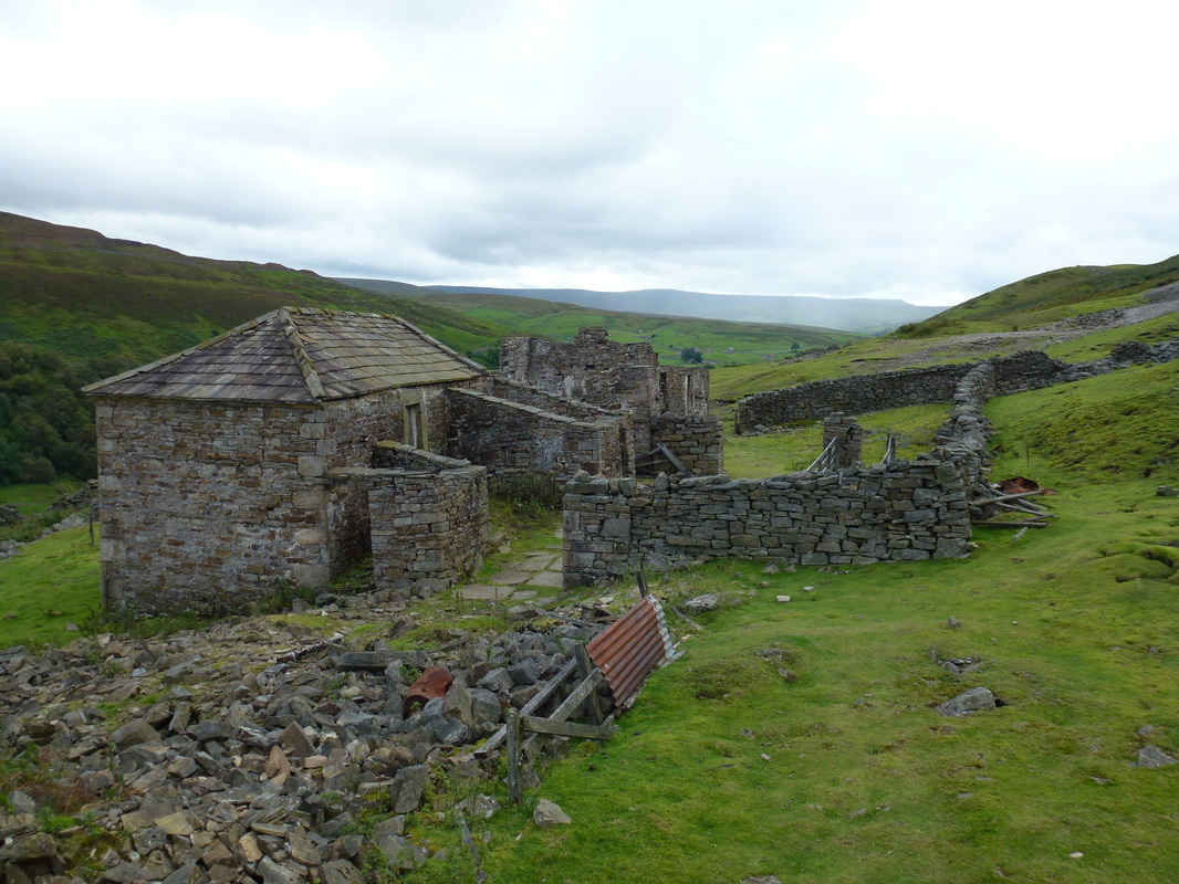
The amusingly named Crackpot Hall
The 18th-century smallholding was abandoned in 1953, when lead mining subsidence rendered it uninhabitable. It is thought that the building may also have been used as offices for the mining companies in the area.
The 18th-century smallholding was abandoned in 1953, when lead mining subsidence rendered it uninhabitable. It is thought that the building may also have been used as offices for the mining companies in the area.
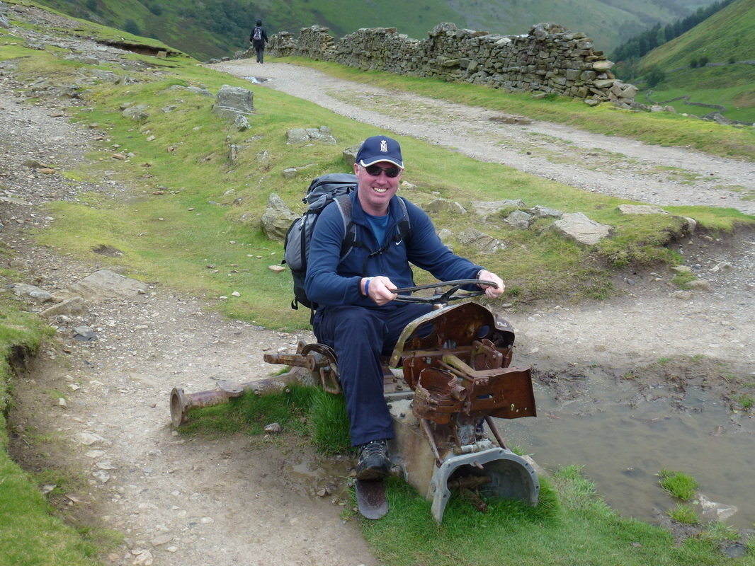
Couldn't get it started
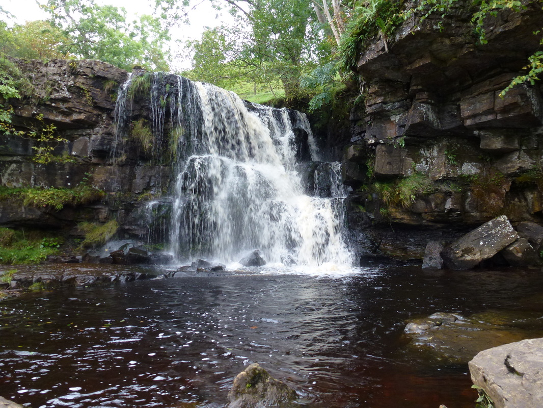
East Gill Force near Keld
High above the Swale on the flanks of Kisdon looking to Swinner Gill
Crackpot Hall from the flanks of Kisdon
Muker
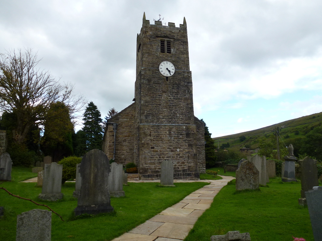
St Mary's Church, Muker
A family photo near Muker Church.
Fudge would come along just over a year later in October 2012.
Fudge would come along just over a year later in October 2012.
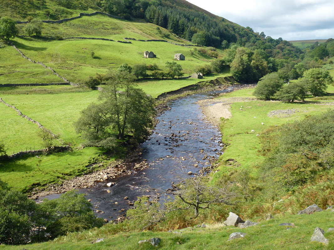
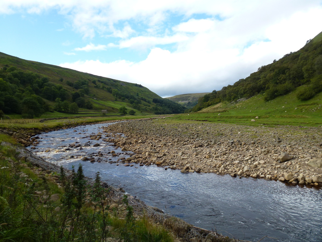
The River Swale near Rampsholme Bridge
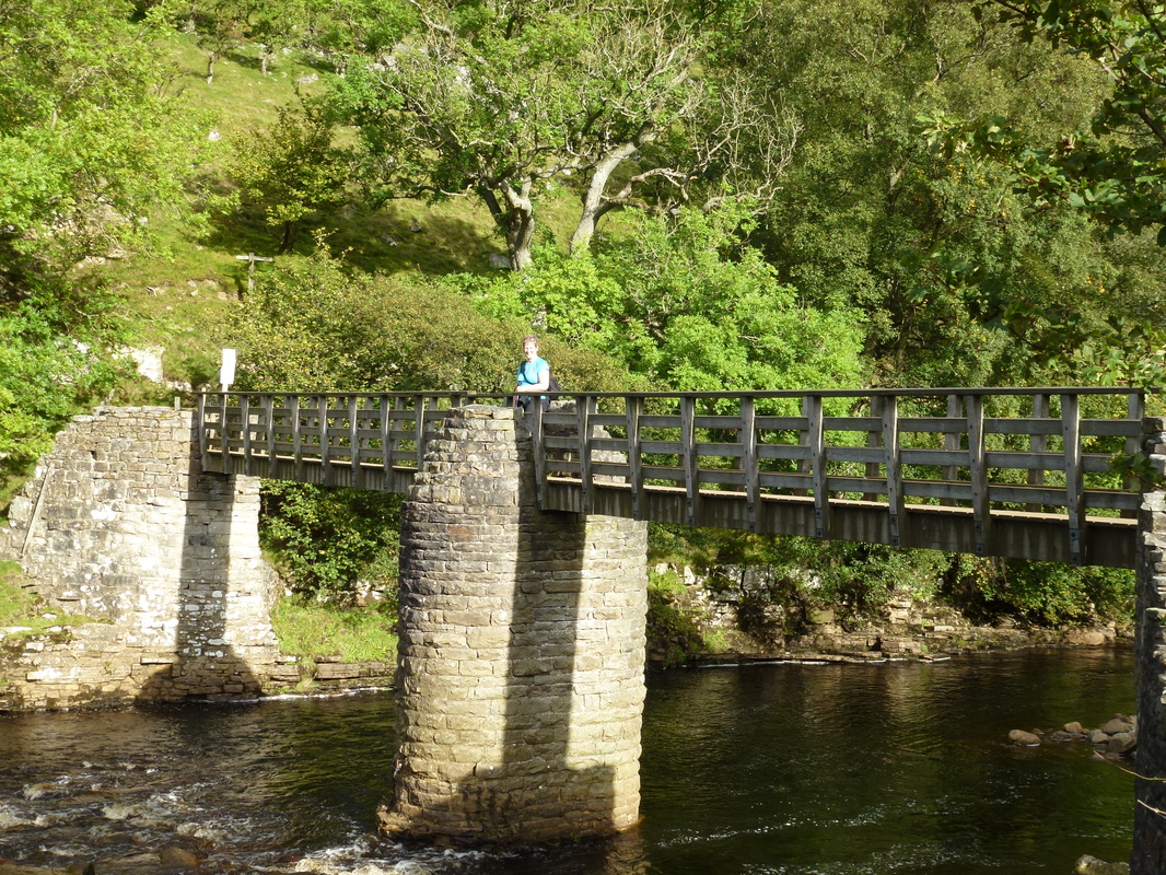
Rampsholme Bridge over the River Swale
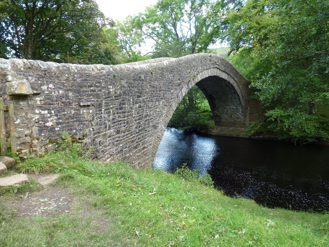
Ivelet Bridge
