Rosthwaite Fell (Bessyboot) & Glaramara - Tuesday 30 August 2022
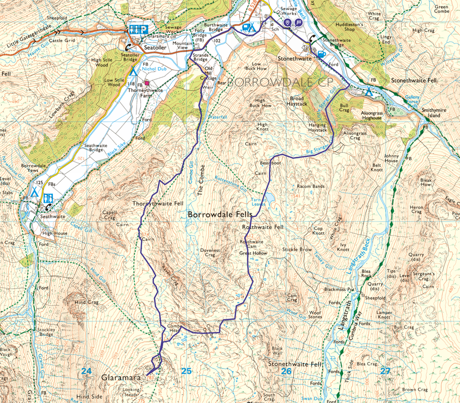
Route
Stonethwaite - Little Stanger Gill - Big Stanger Gill - Bessyboot (Rosthwaite Fell) - Tarn at Leaves - Rosthwaite Cam - Dovenest Top - Combe Door Top - Combe Head - Glaramara - Thornythwaite Fell - Strands Bridge - Stonethwaite
Parking
Verge parking on the lane when approaching the village of Stonethwaite from the north west. The Grid Reference is NY 26012 13936 and the nearest postcode is CA12 5XG.
Mileage
7.7 miles
Terrain
Good mountain paths for the most part although the path from the top of Big Stanger Gill to the summit of Rosthwaite Fell can be vague and additionally the route from Rosthwaite Cam to Combe Head needs careful navigation as the path is intermittent.
Weather
Overcast with sunny spells
Time Taken
6hrs 15mins
Total Ascent
2910ft (887m)
Wainwrights
2
Map
OL6 - The English Lakes (South Western Area)
Walkers
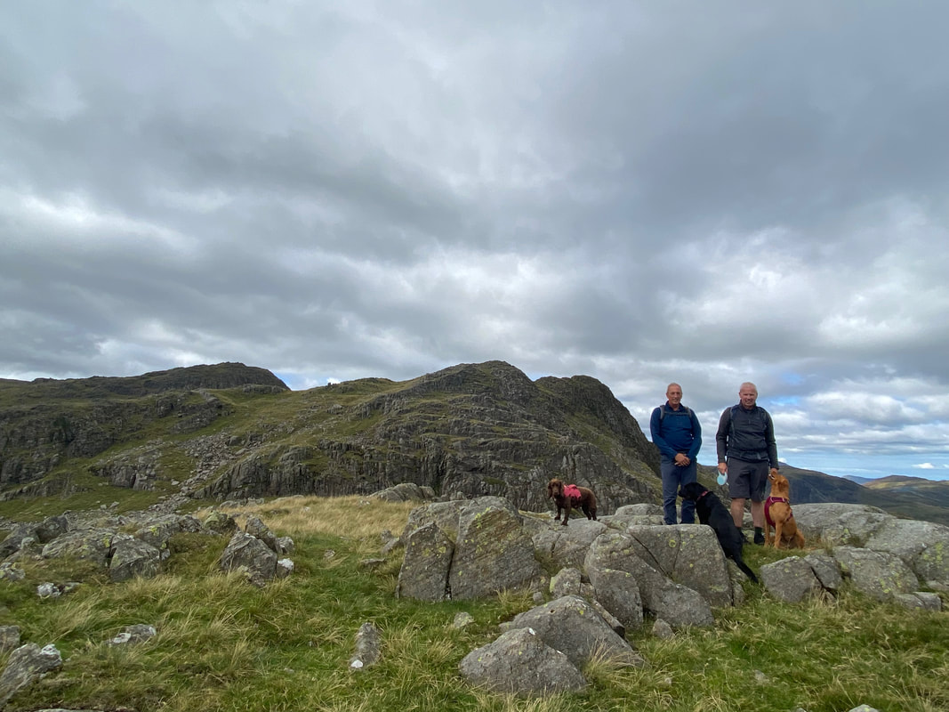
Dave & Fudge with Malcolm Summers, Peter Moore, Libby & Poppy
|
GPX File
|
| ||
If the above GPX file fails to download or presents itself as an XML file once downloaded then please feel free to contact me and I will send you the GPX file via e-mail.
Route Map
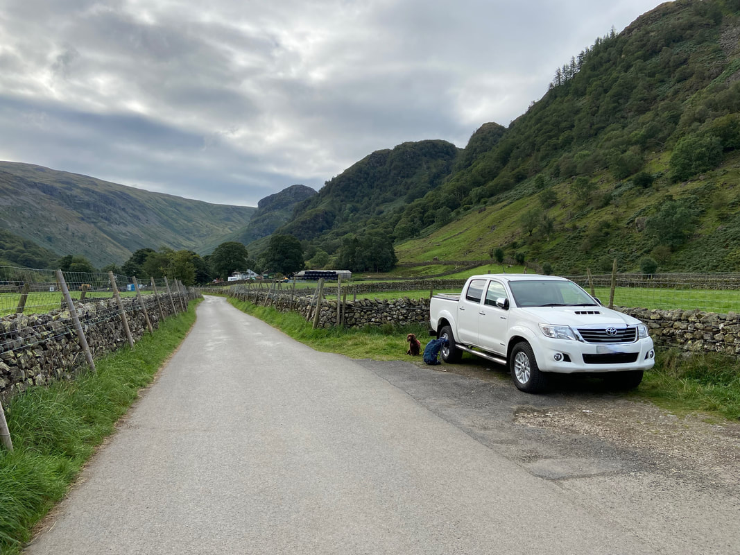
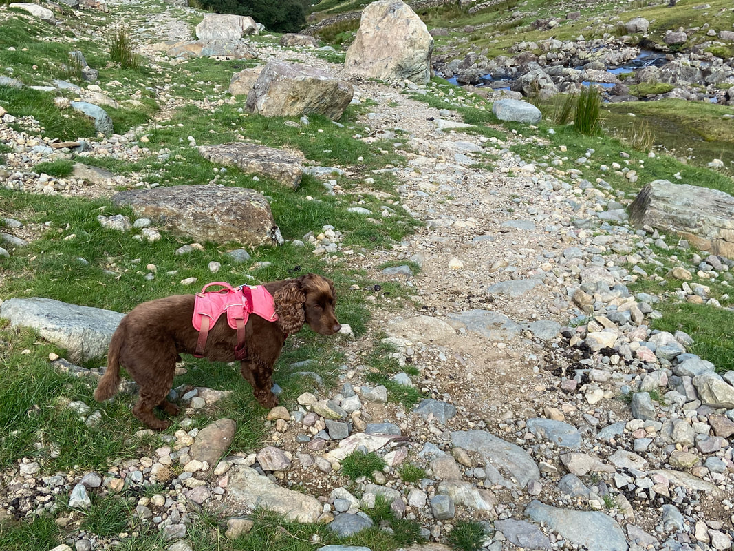
One of several areas along the lane leading to Stonethwaite where you can park for free. As can be seen, Fudge waits patiently for me to stop faffing about taking pictures - I'm sure sometimes he thinks I'm going to clear off on the walk and leave him tied to the towbar.
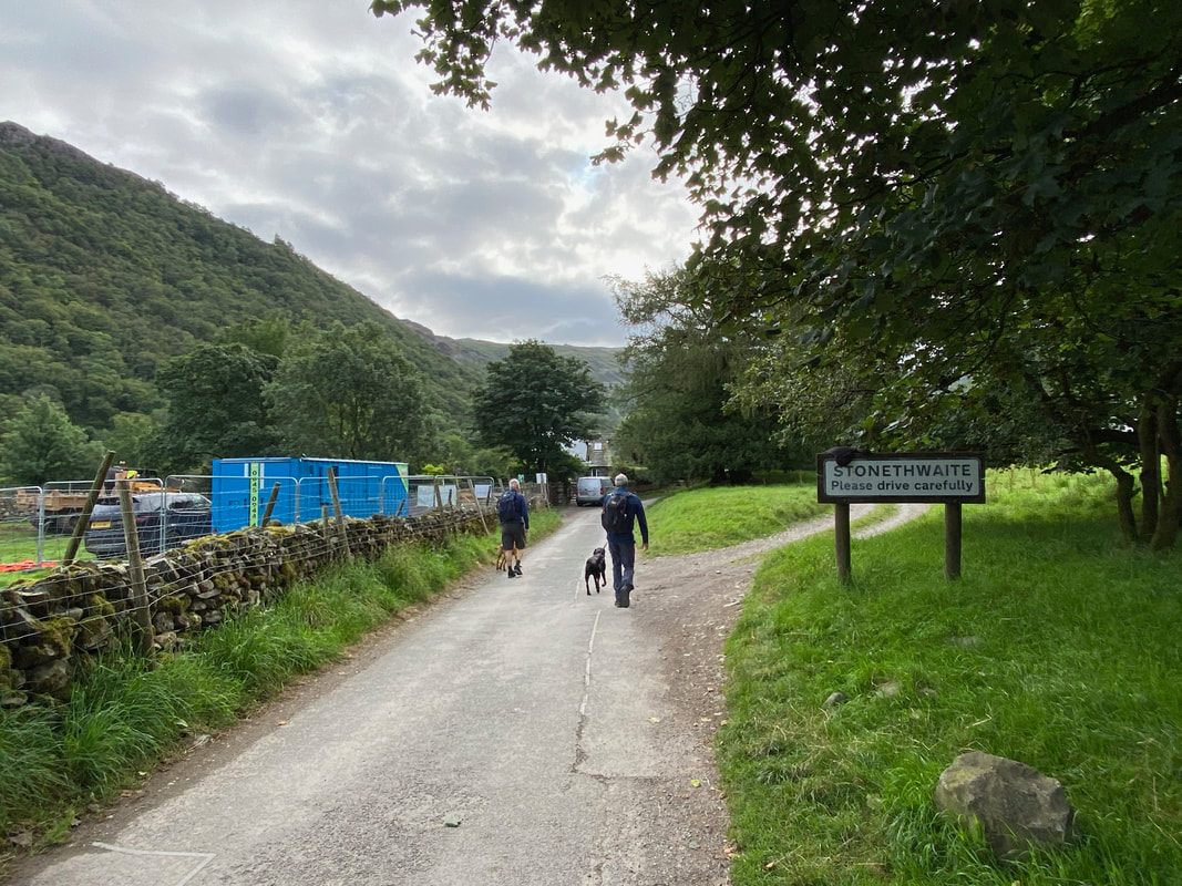
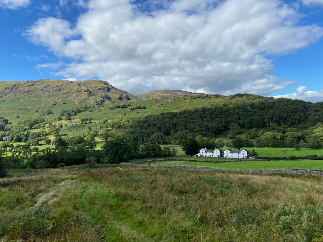
Entering the village of Stonethwaite - I was out today with friends Malcolm & Peter and their dogs Libby & Poppy
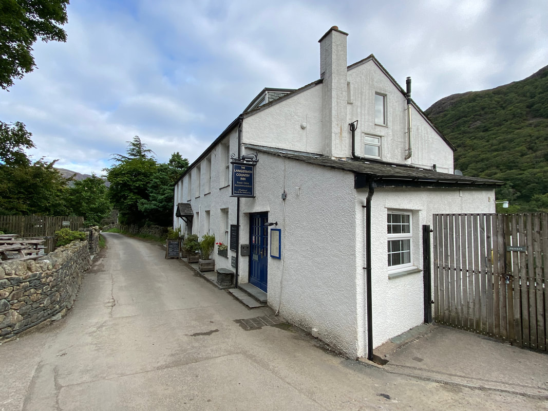
At the end of the village the route passes The Langstrath Country Inn
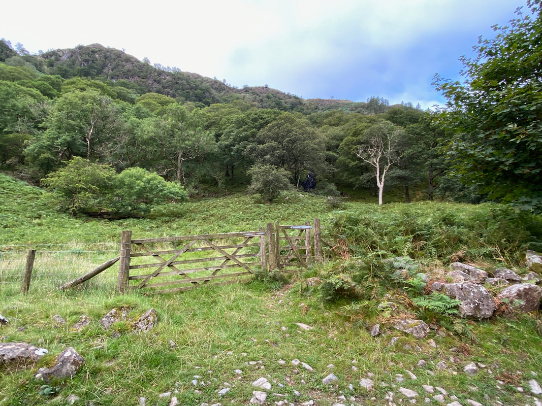
From The Langstrath Inn, the route follows the access lane to Stonethwaite Farm Campsite - opposite the entrance to the campsite on the right is a hand gate giving access to a woodland path that leads to Little Stanger Gill.
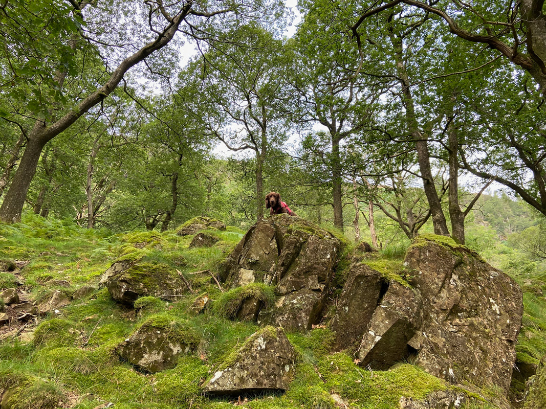
Fudge pops up from the rocks to let me know he's found some water to arse about in
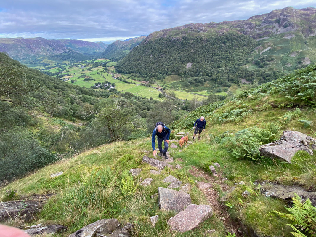
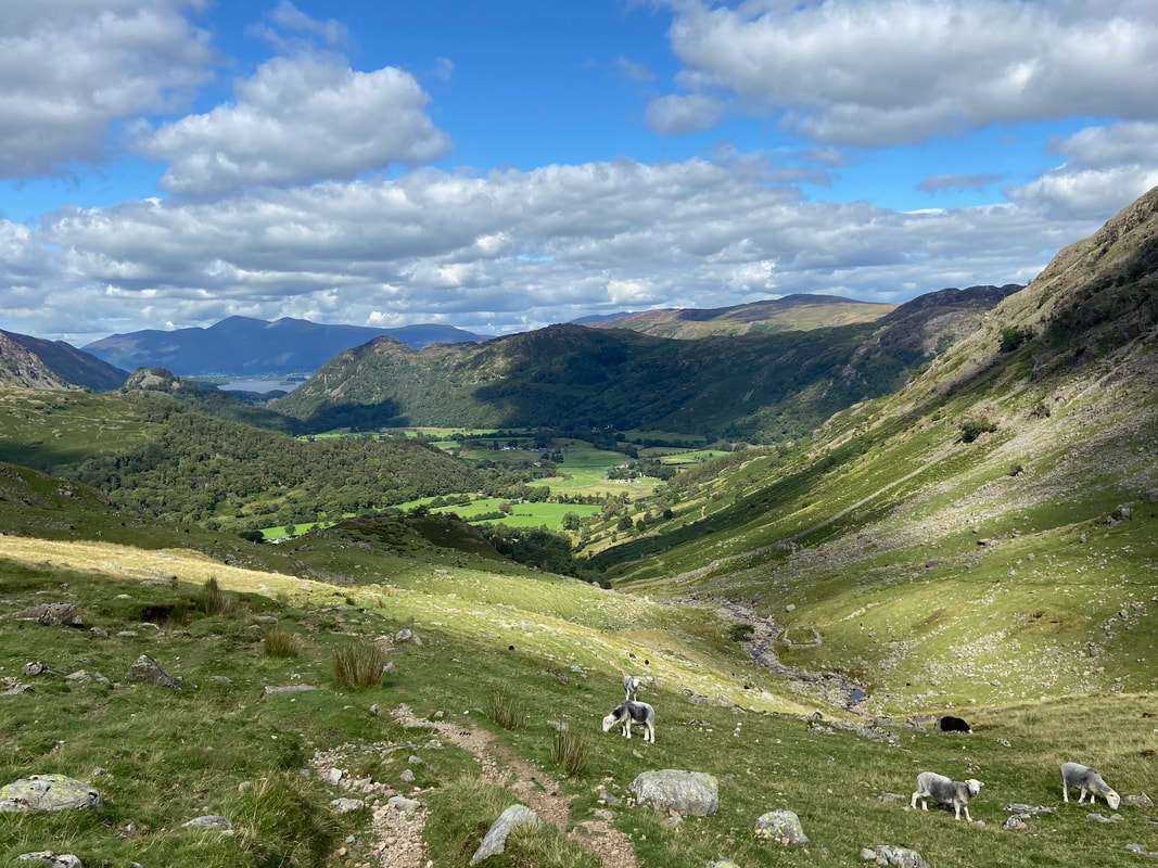
Looking back to Stonethwaite & Borrowdale as we begin the steep ascent of Big Stanger Gill
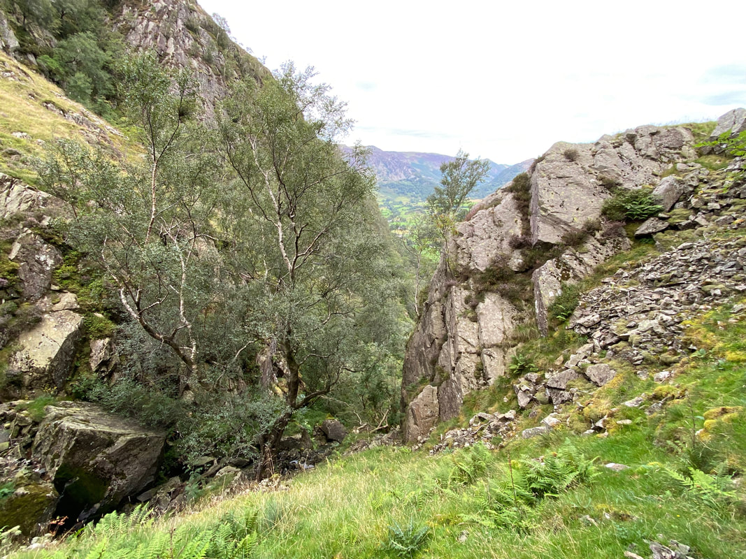
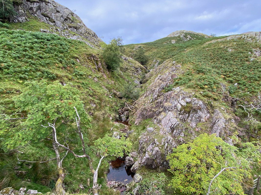
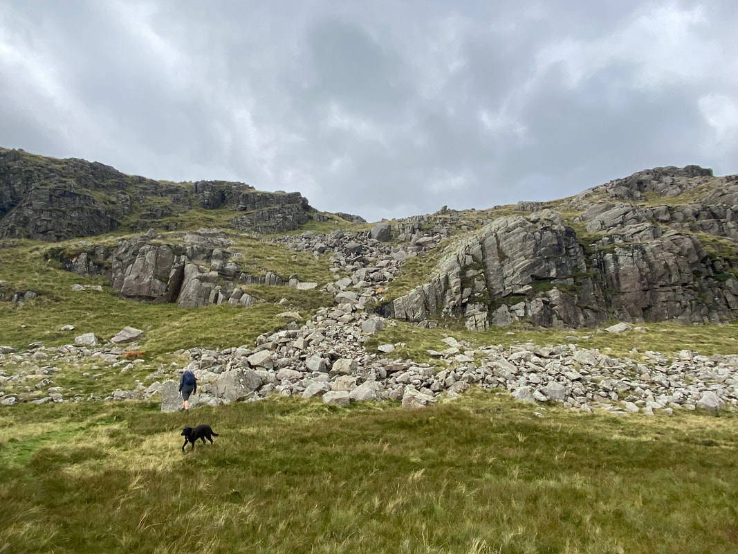
The steep sided ravine of Big Stanger Gill
Nearing the head of Big Stanger Gill. The route crosses the stile on the left and continues to the right.
Approaching the top of the ravine
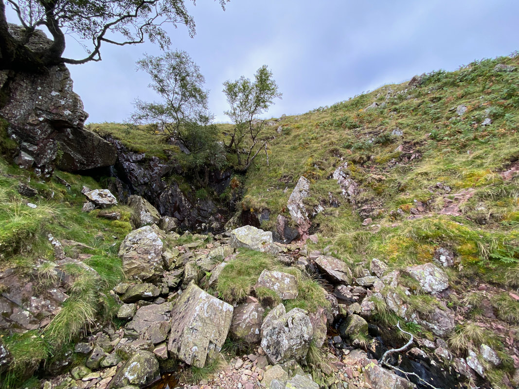
At a small rocky waterfall, the route crosses the top of the ravine from the left hand side over to the right
Poppy
Once clear of the ravine the landscape opens out
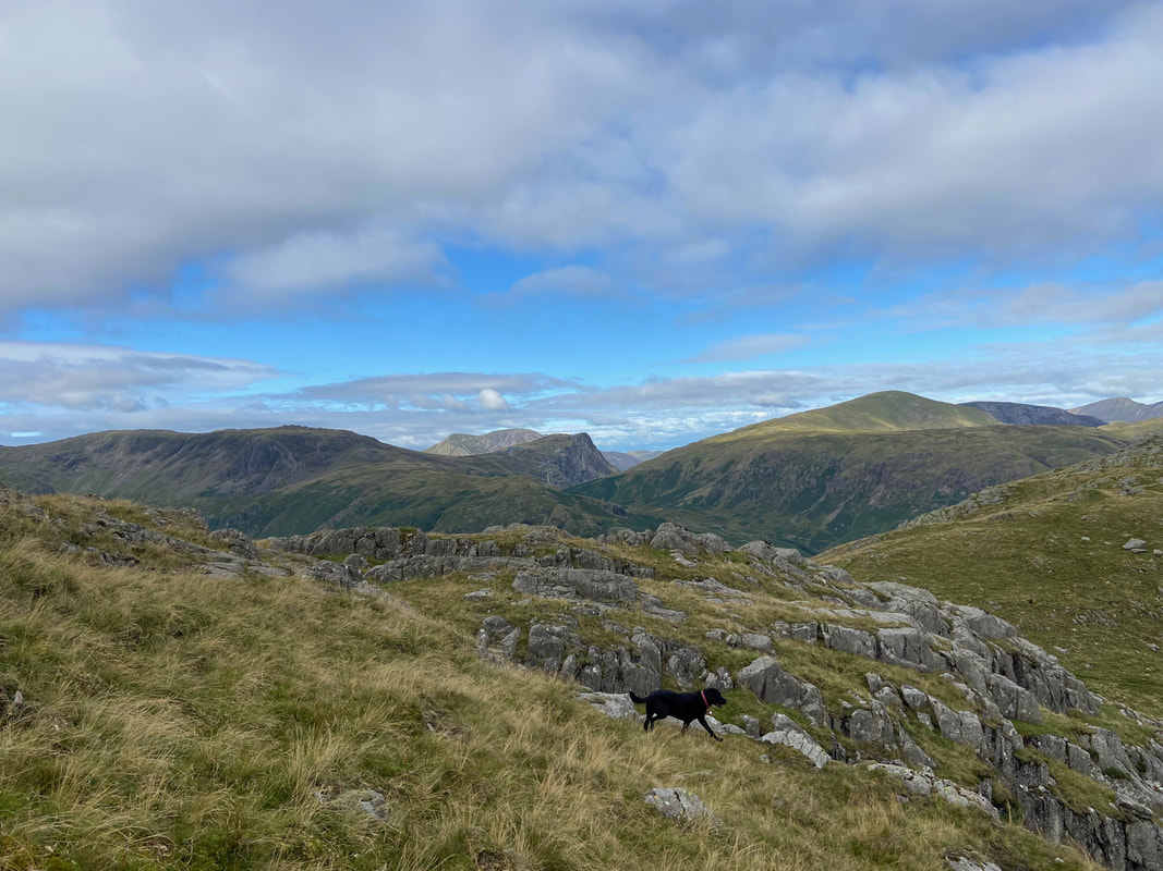
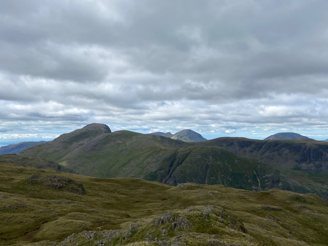
Looking to Grey Knotts, Fleetwith Pike, High Stile, Dale Head & Hindscarth
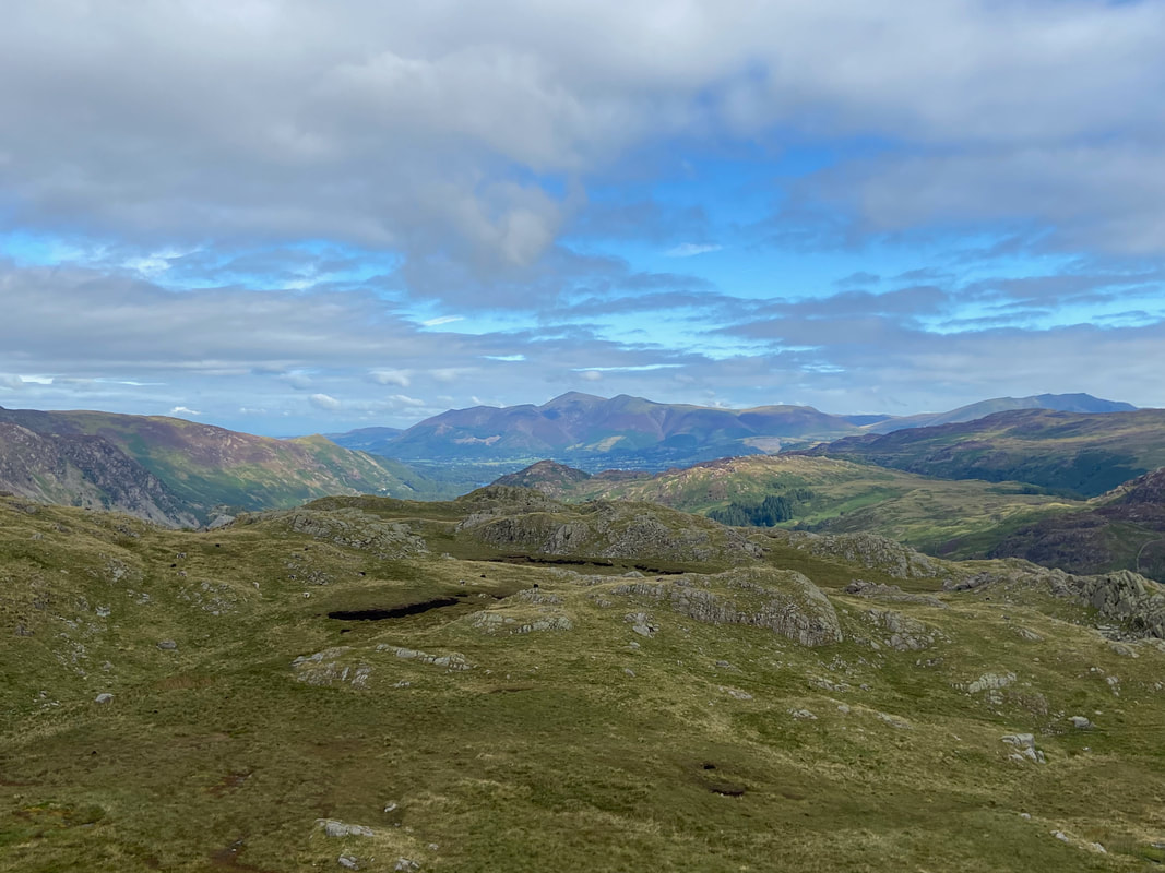
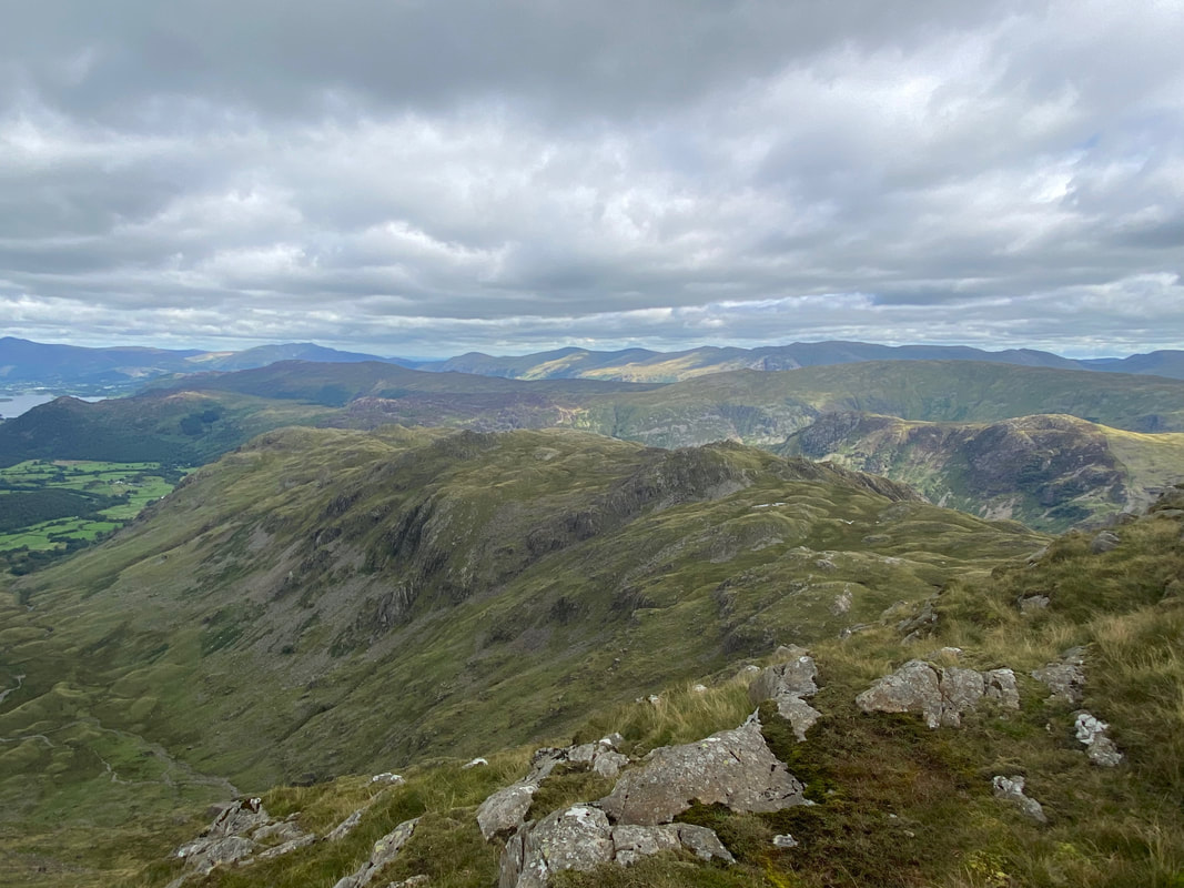
A distant Skiddaw with Blencathra to the right from the approach to Bessyboot
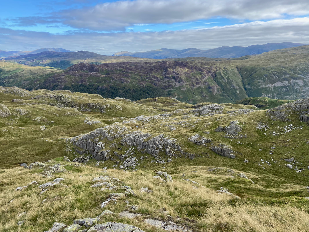
Blencathra, Bleaberry Fell, Clough Head, The Dodds & the Helvellyn Range form an impressive horizon from Bessyboot
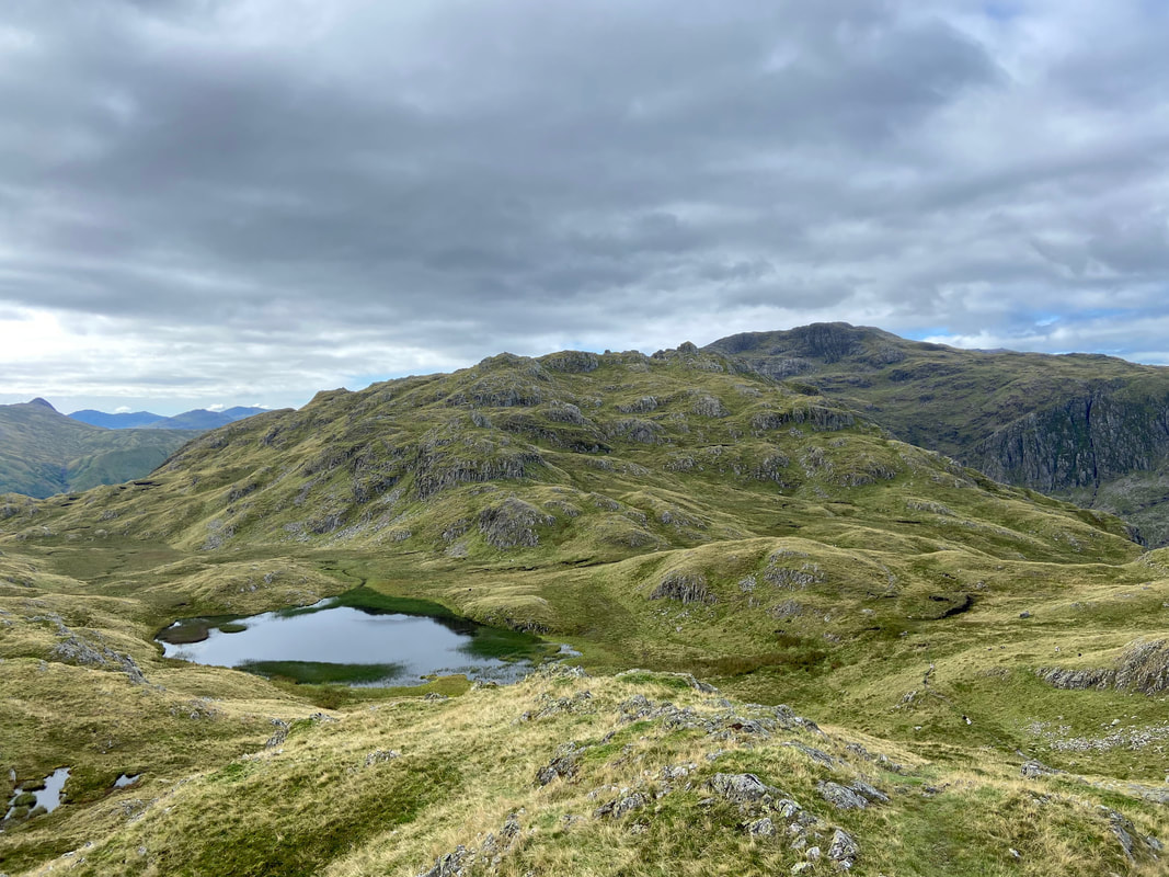
Tarn at Leaves & Rosthwaite Cam from Bessyboot
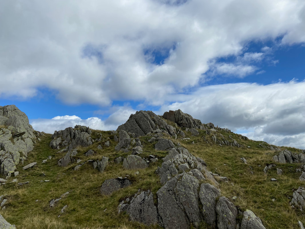
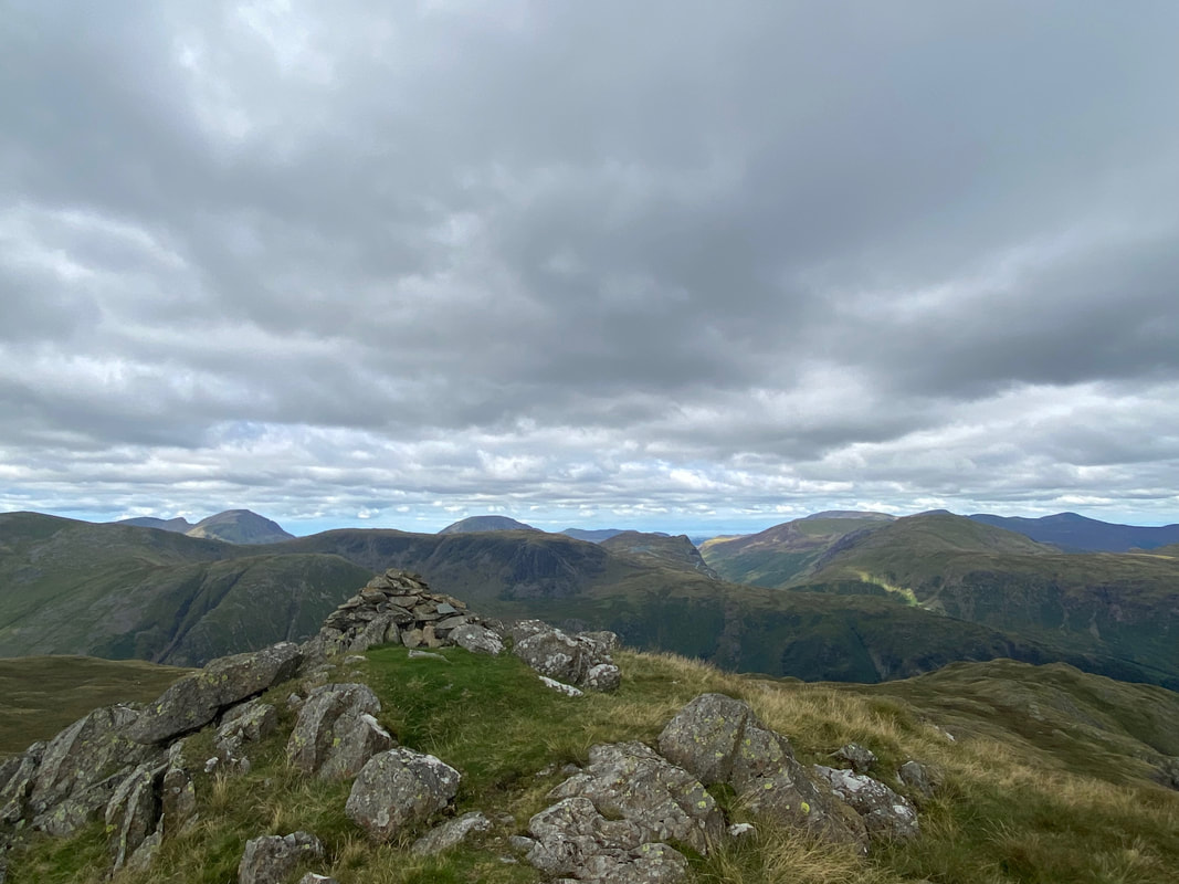
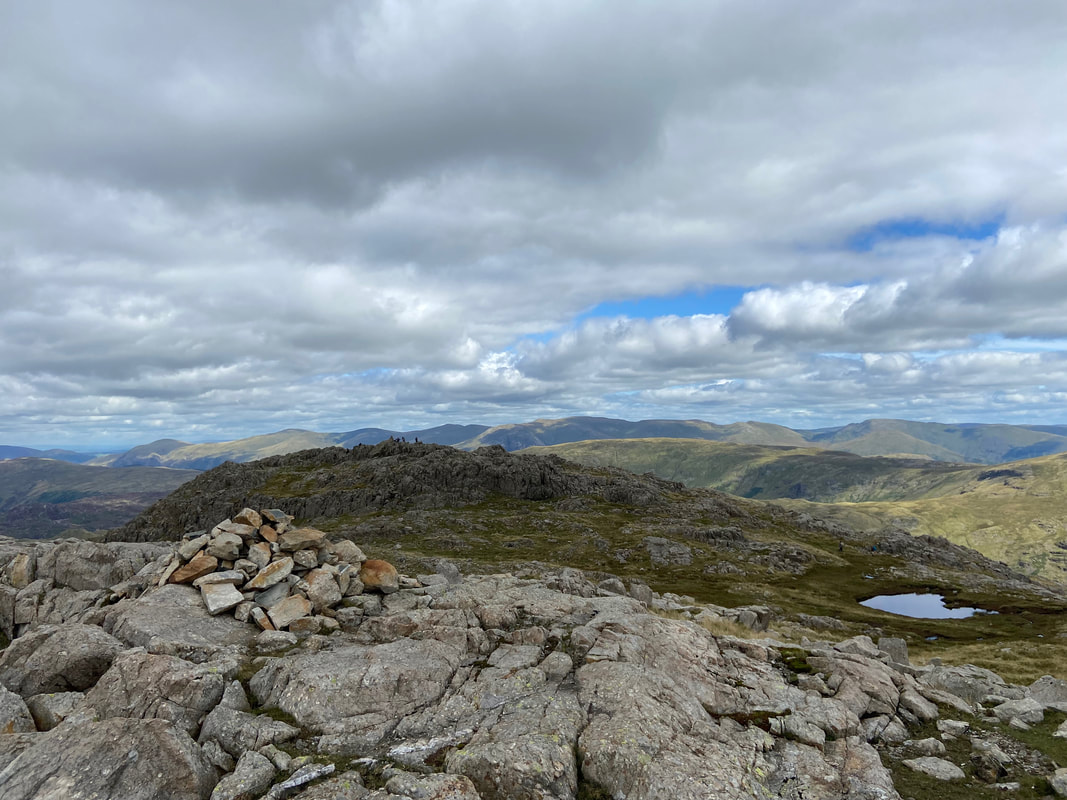
The summit of Bessyboot
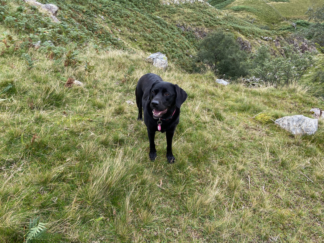
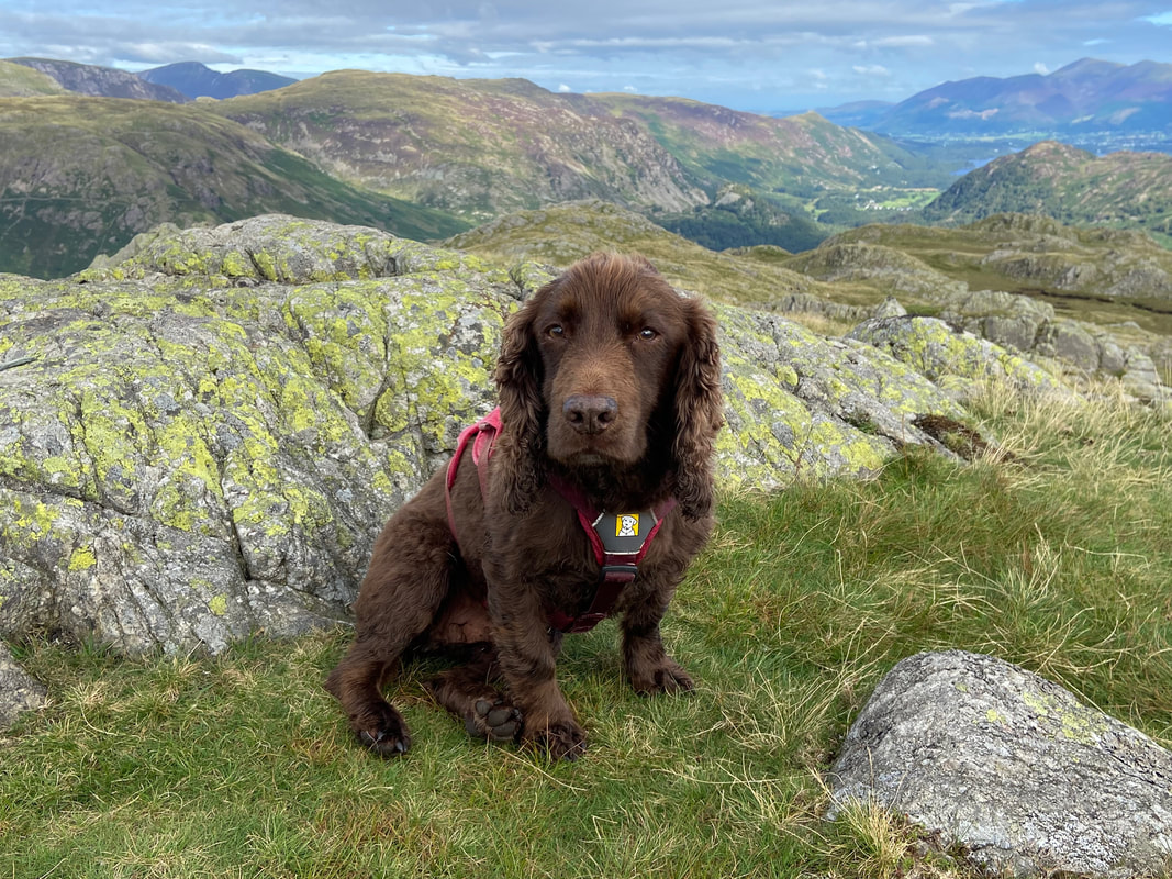
He's been up on Bessyboot many times and as can be seen was just as excited about it on this occasion
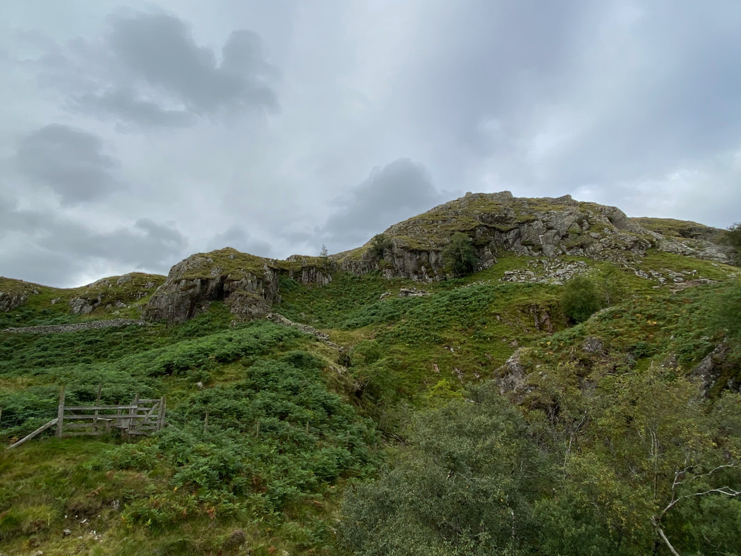
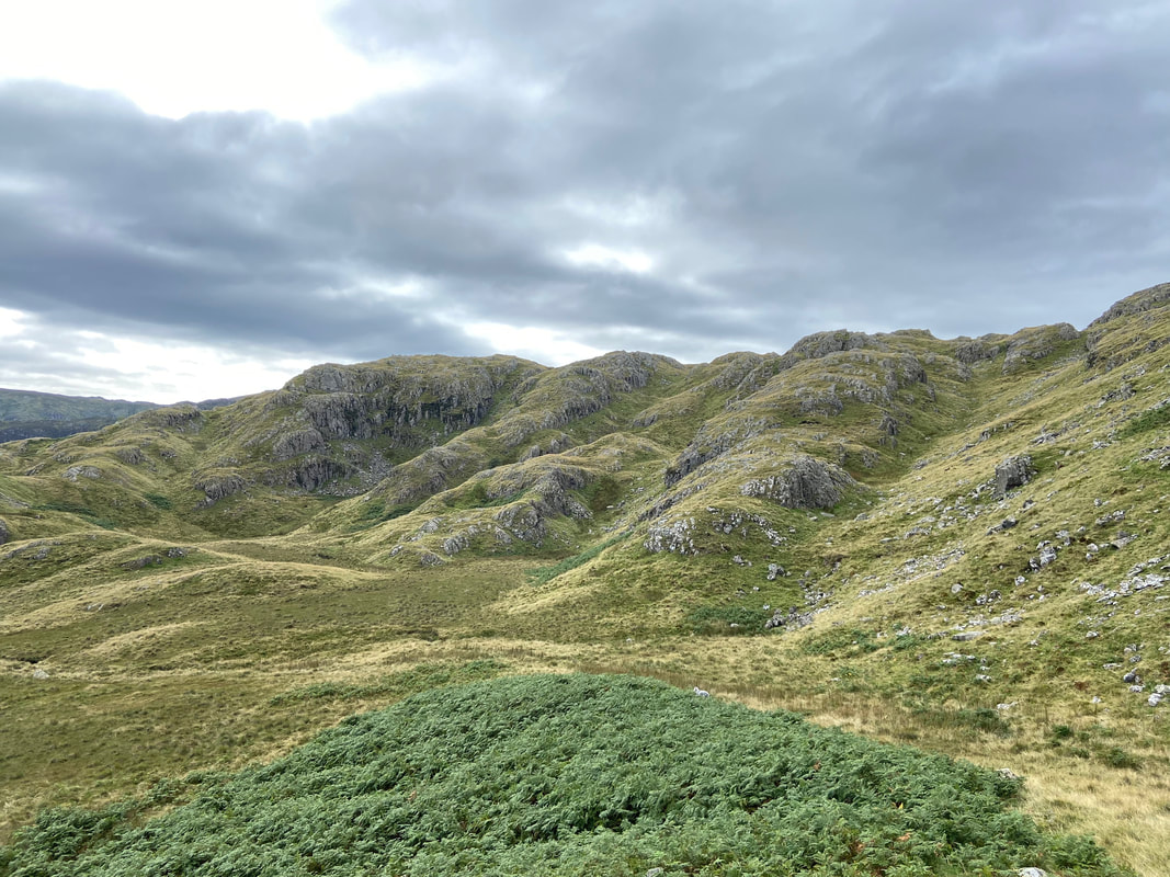
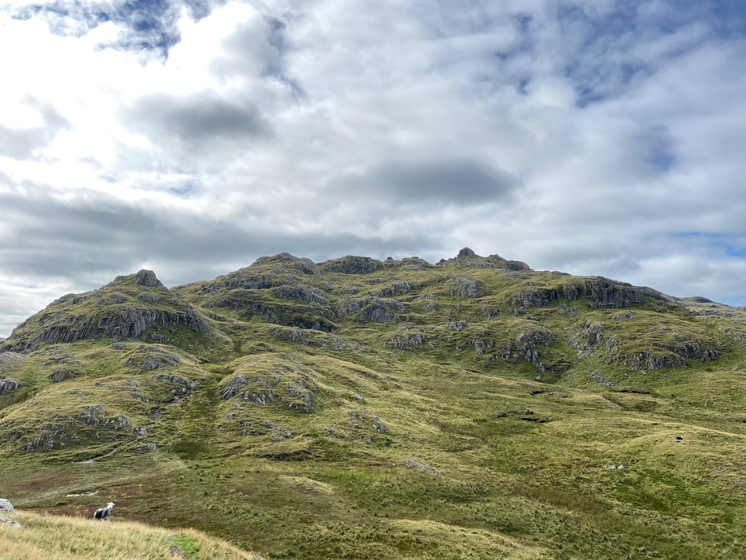
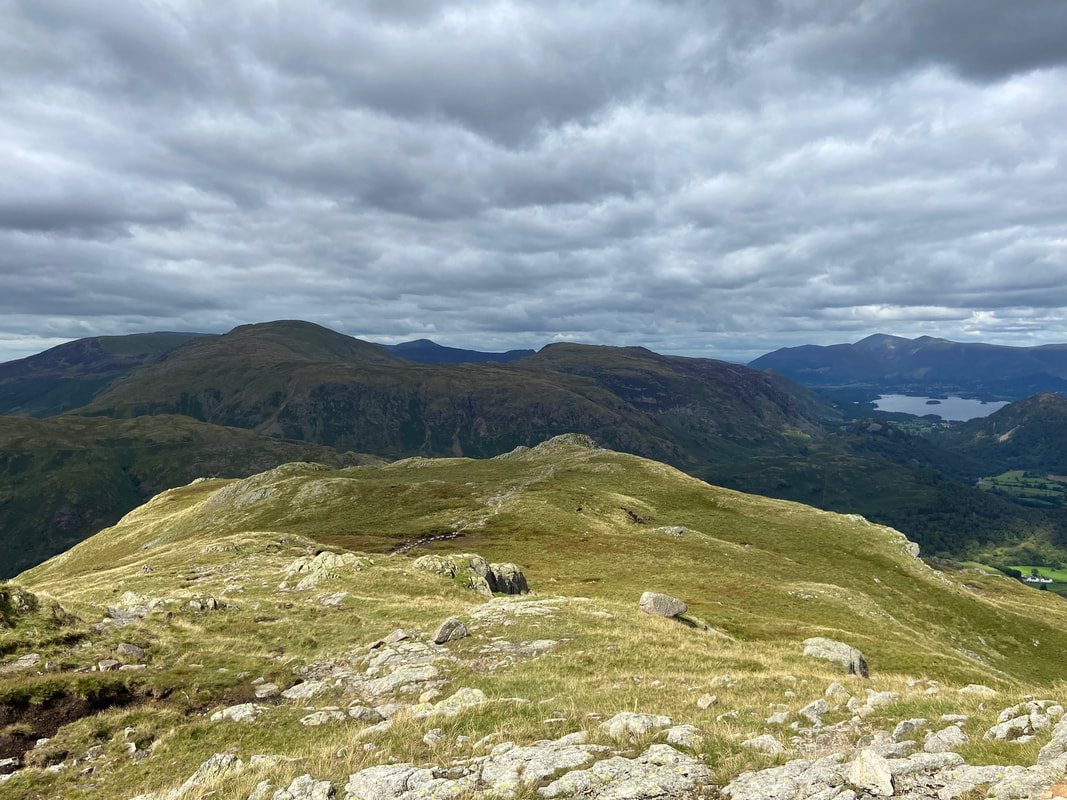
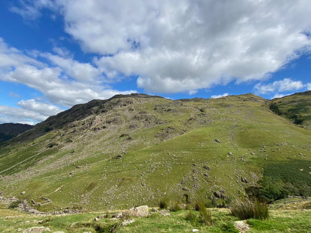
The western slopes of Bessyboot
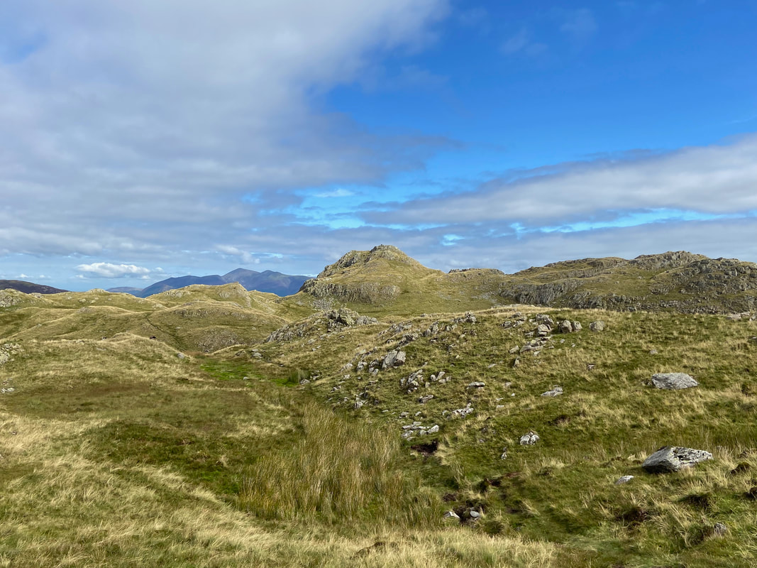
The transit over to Rosthwaite Cam
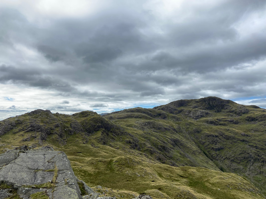
Looking back to Bessyboot from the approach to Rosthwaite Cam
Tarn at Leaves below Bessyboot
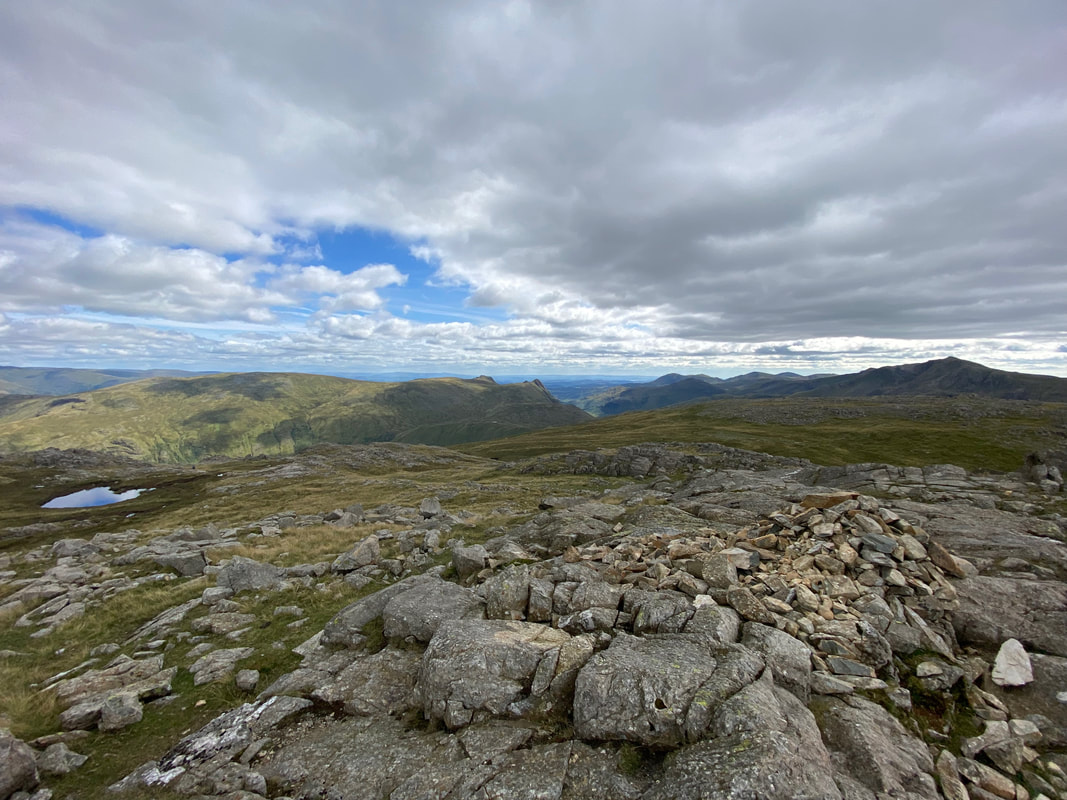
The summit of Rosthwaite Cam
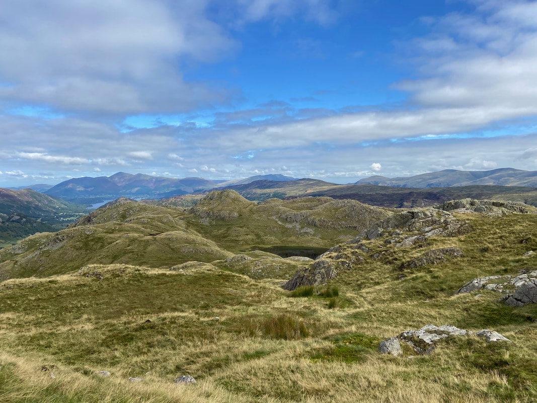
The next summits of Dovenest Top, Combe Door Top & Combe Head await
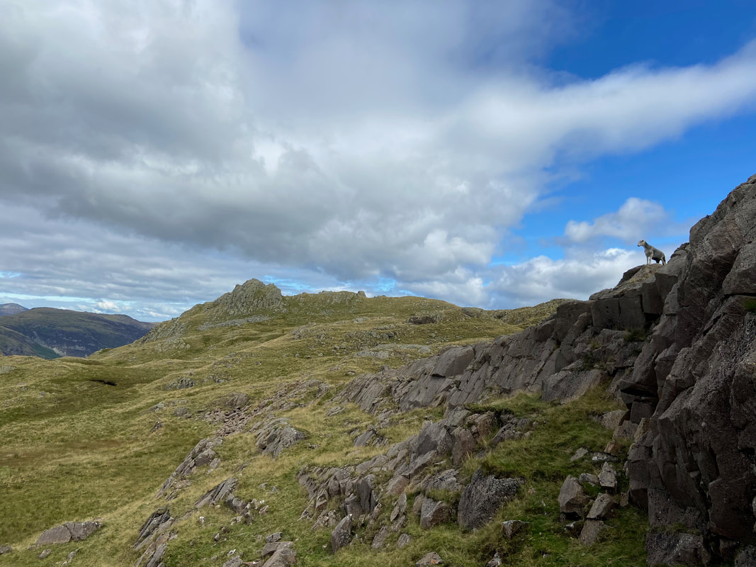
Looking back to Rosthwaite Cam complete with posing Herdwick
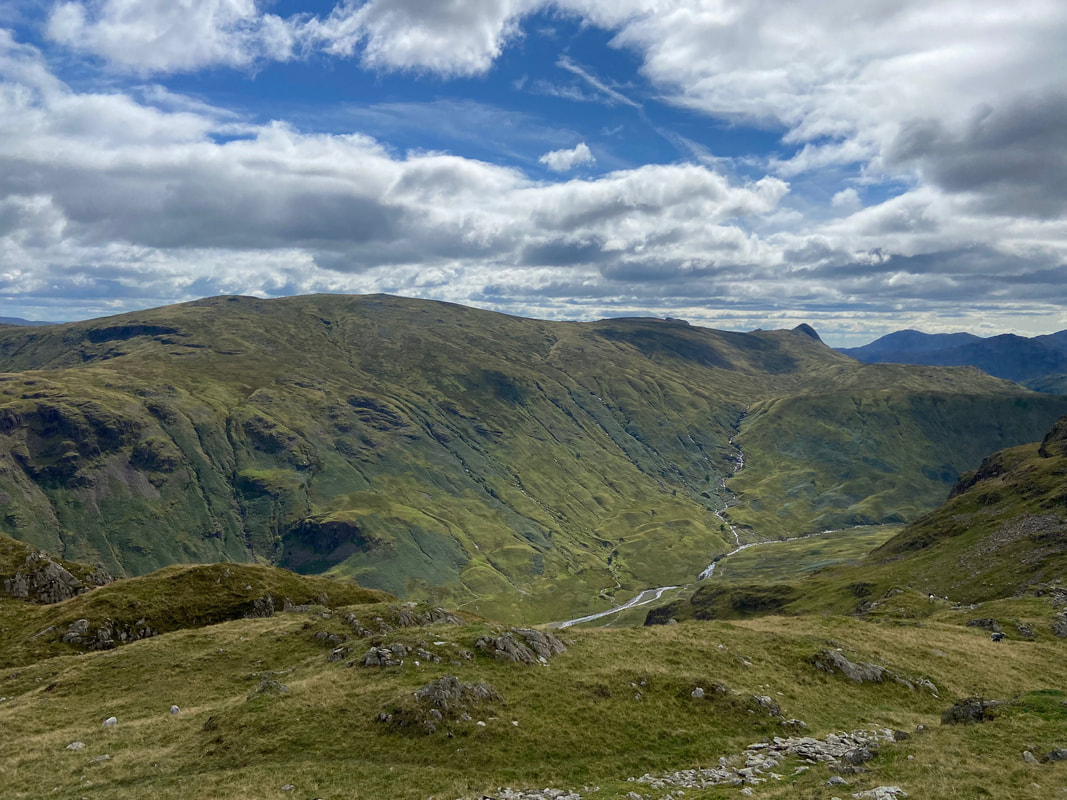
Looking to High Raise over Langstrath with the unmistakable lump of Pike O'Stickle to the right
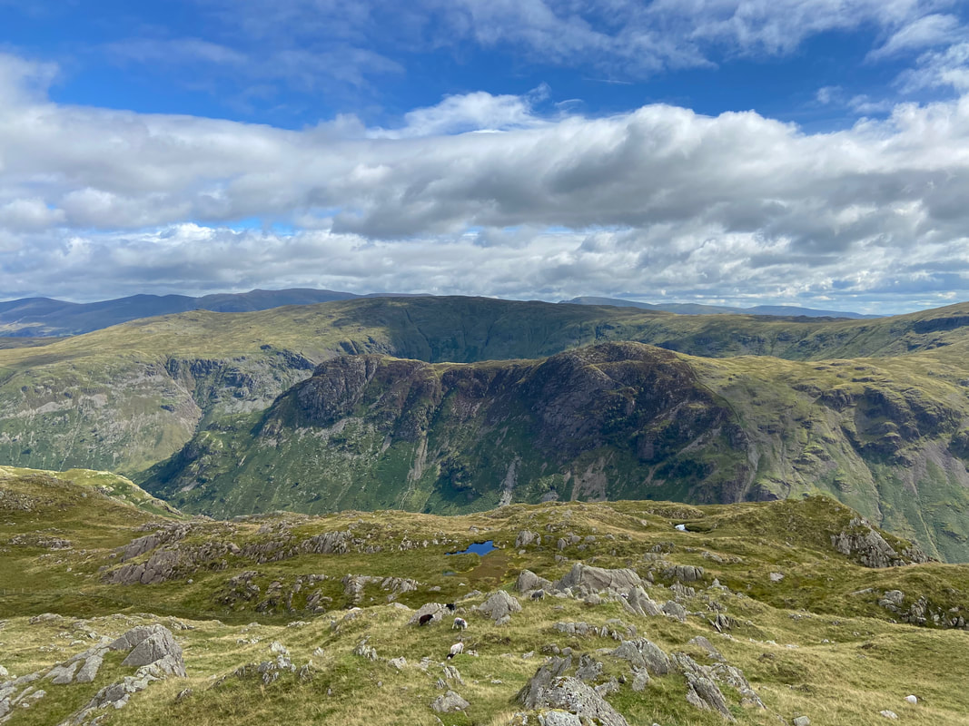
Eagle Crag & Sergeant's Crag with the huge lump of Ullscarf providing the backdrop
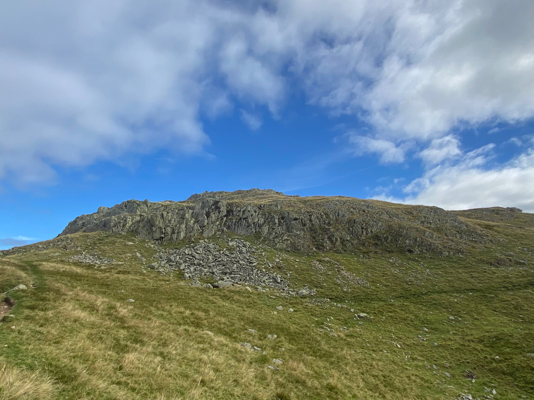
Approaching Dovenest Top
Looking back to Rosthwaite Cam & Bessyboot from Dovenest Top
The summit of Combe Door Top looking to Combe Head
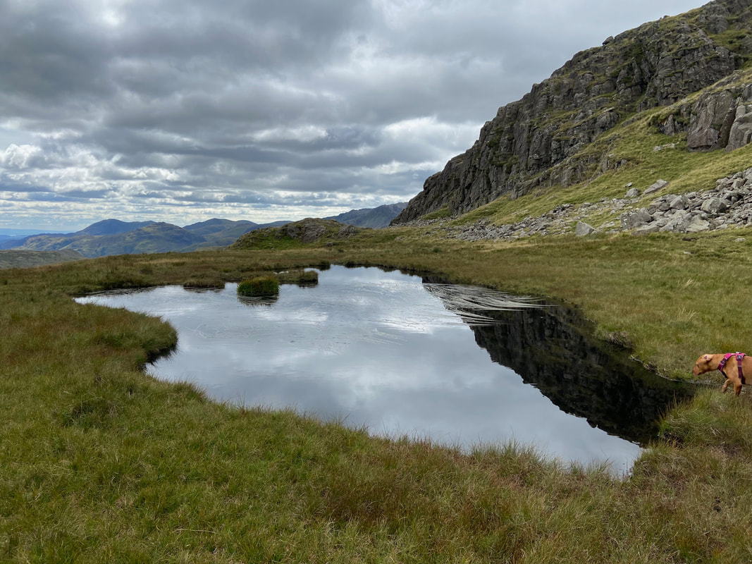
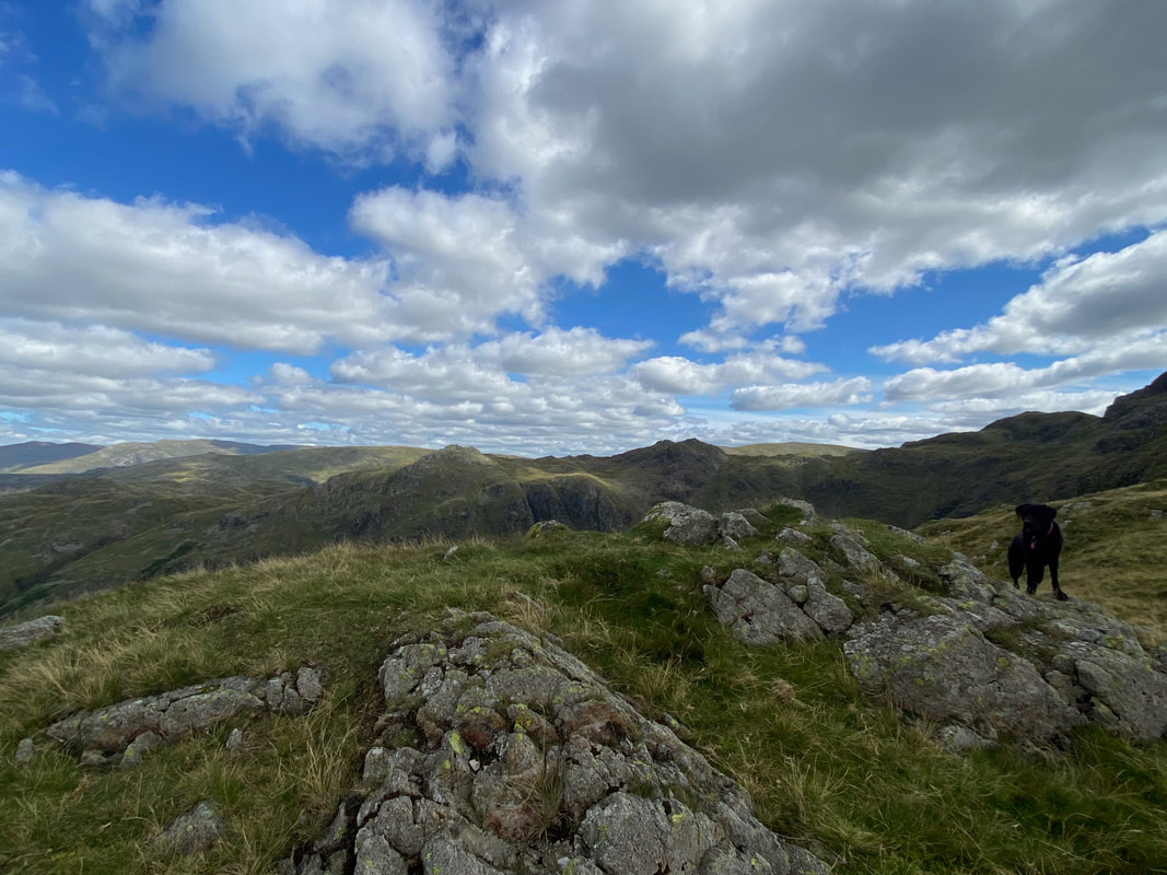
The small tarn below the ascent to Combe Head and an inquisitive Libby
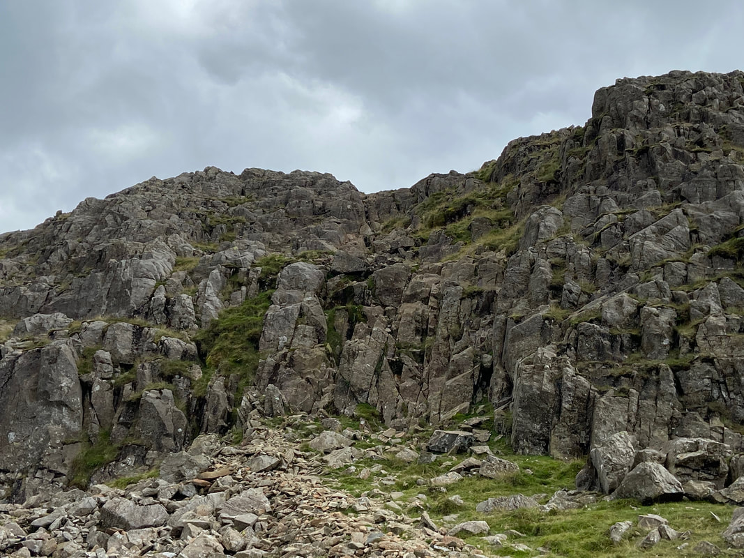
From the tarn, Combe Head is accessed via a rocky rake
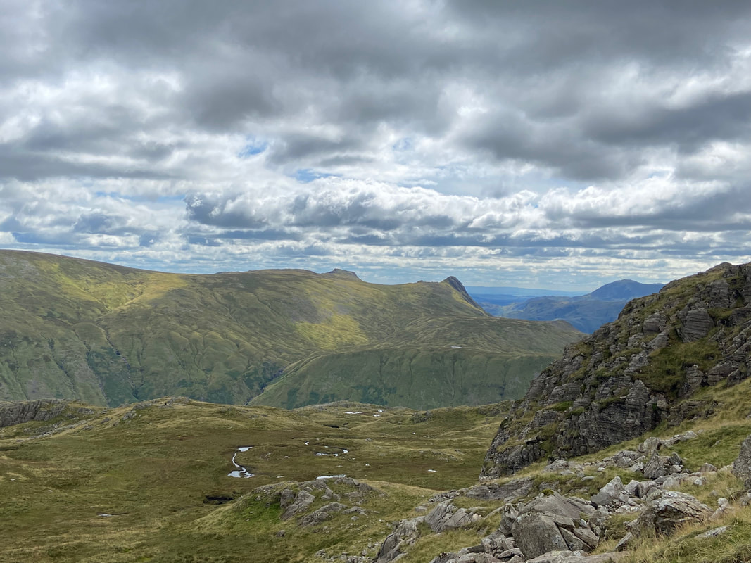
The Langdale Pikes from the ascent of Combe Head
Having climbed up the rocky rake, all that remained was a short walk over to Combe Head
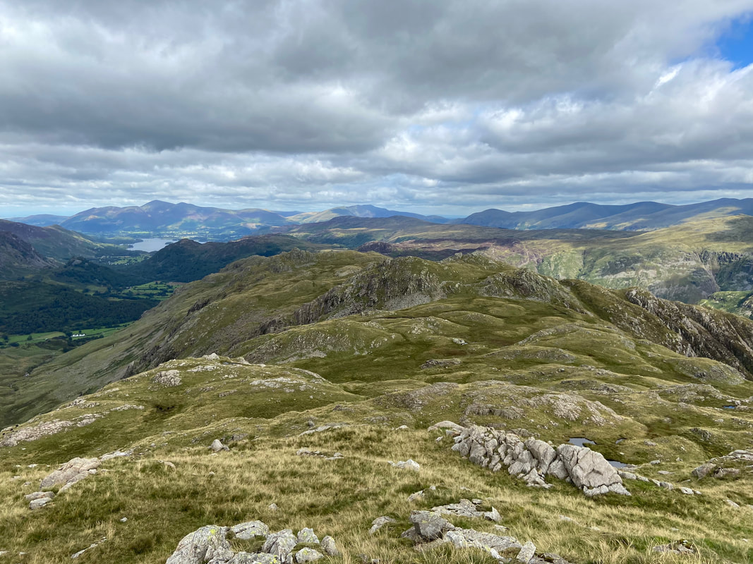
Glaramara from Combe Head
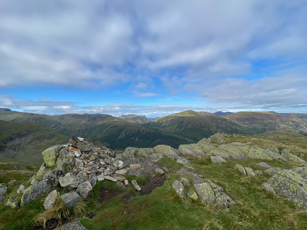
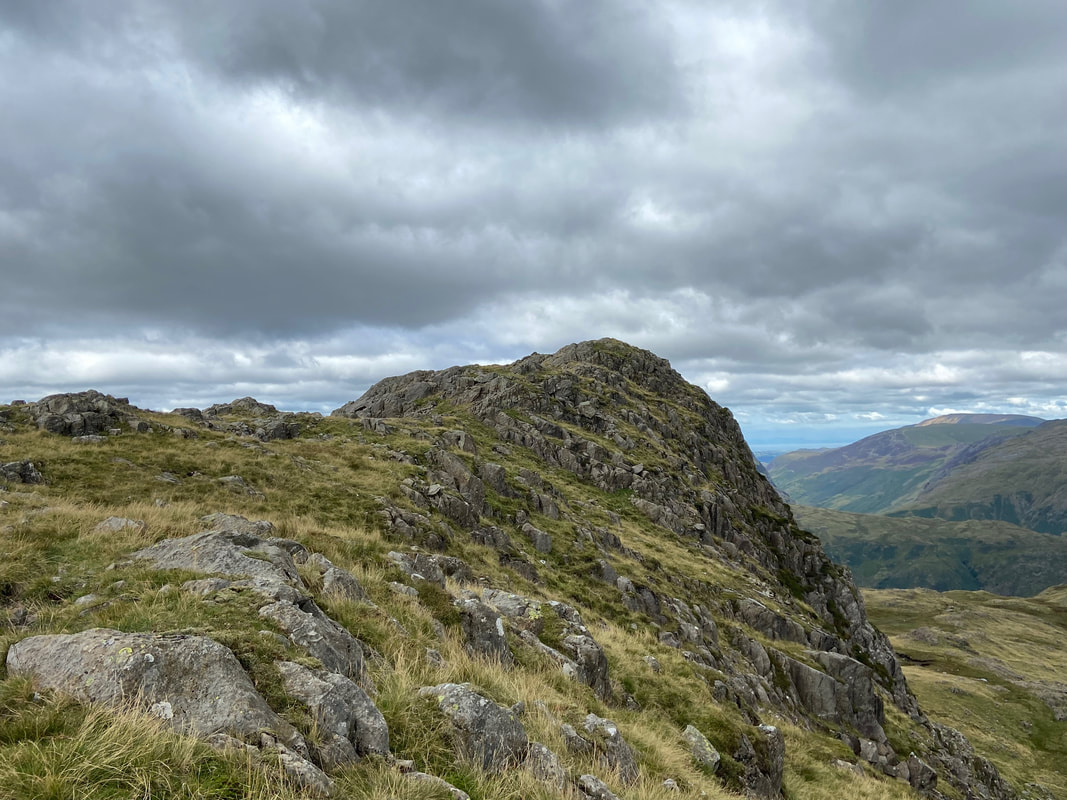
The summit of Combe Head
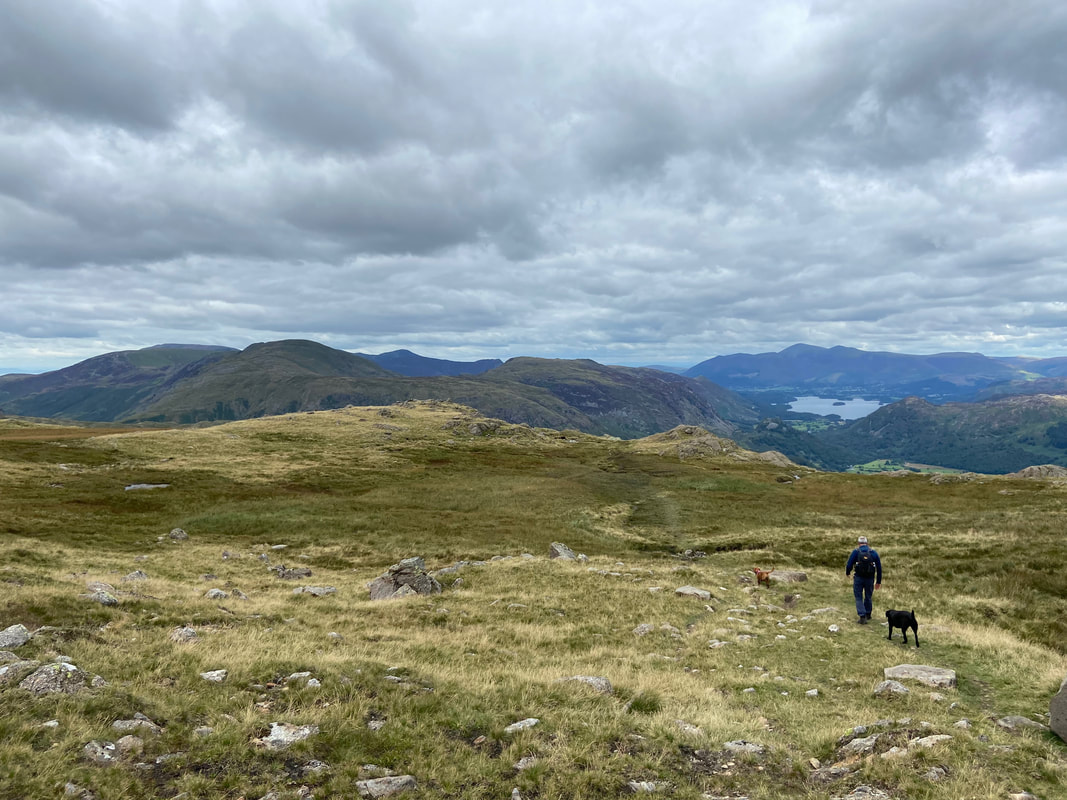
Our outward route from the summit of Combe Head
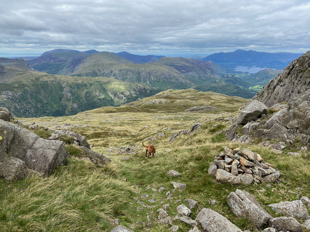
Great Gable, Green Gable, Pillar, Base Brown, Brandreth & High Stile from Combe Head
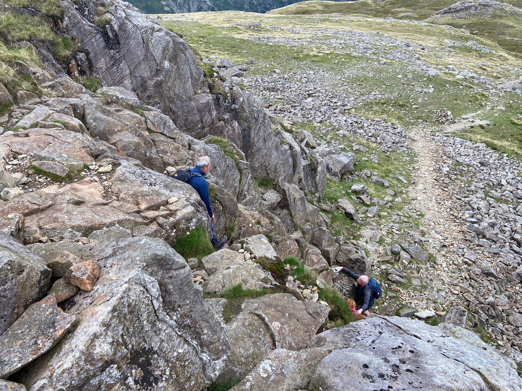
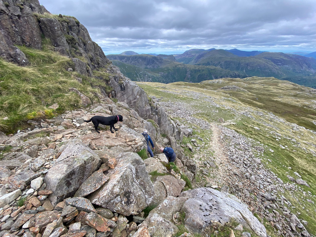
The steep 25ft scramble which leads to the summit of Glaramara. It is a relatively easy climb but like any vertical scramble, polished and wet rock wait to catch the unwary. It can be avoided via a route to the right and this is the path we used to descend from the summit.
Climbing the rock groove. There are plenty of hand and feet holds however if it is wet care needs to be taken on the polished rock.
Poppy looks on as Peter & Malcolm near the end of the scramble
Combe Head from the top of the rock groove
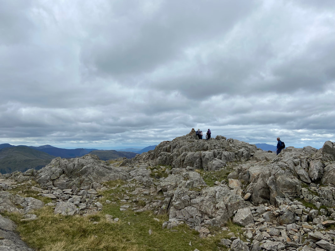
Up on the summit of Glaramara
The summit of Glaramara from the southern cairn
The view from the southern cairn looking to the Langdale Pikes
The cairn that marks the start of the descent down the grassy rake
From the grassy rake we then made for the descent ridge which would take us over Thornythwaite Fell
Heading to Thornythwaite Fell via the north ridge - the path is well defined and is a popular route up Glaramara
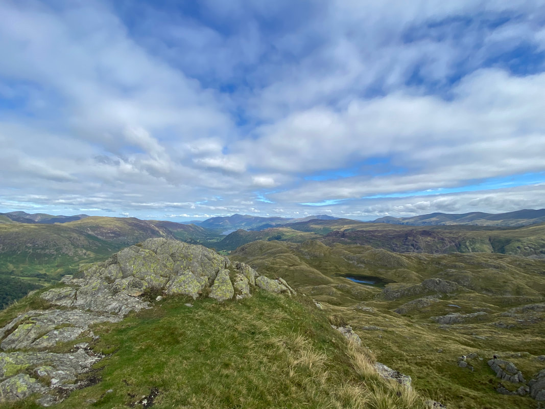
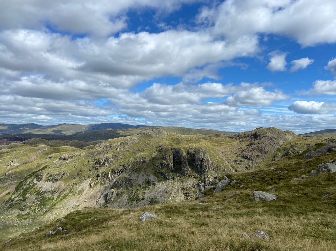
Looking across The Combe to our outward route
The rock outcrop that marks the summit of Thornythwaite Fell
From the summit of Thornythwaite Fell the gradient steepens however the path is still good
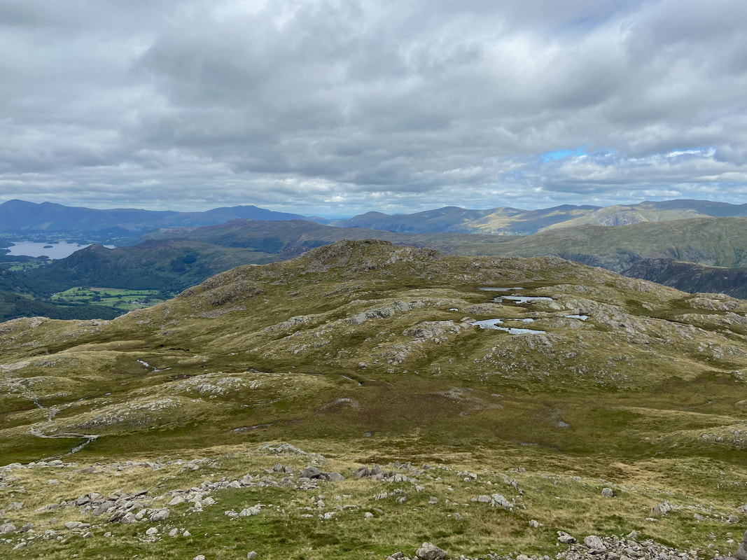
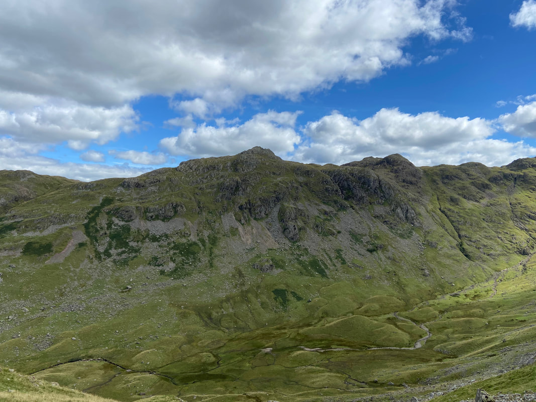
Another view over The Combe to Rosthwaite Cam
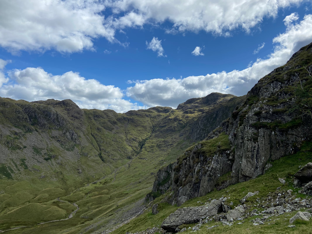
Looking to the head of The Combe
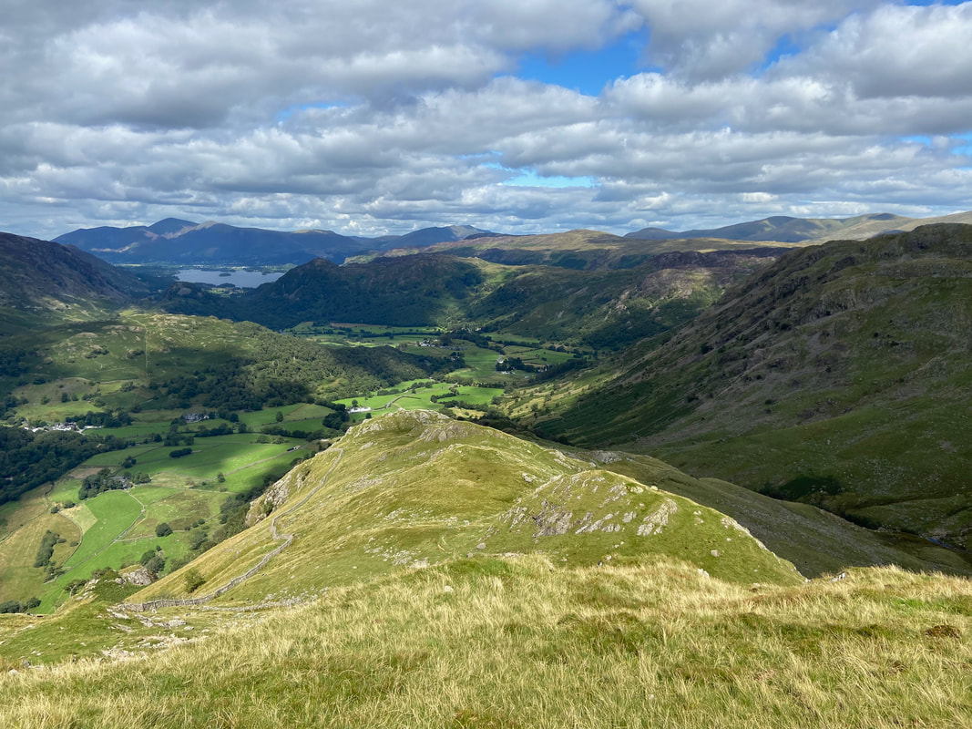
Skiddaw is distant left as Combe Gill snakes its way through the valley near the bottom of the descent
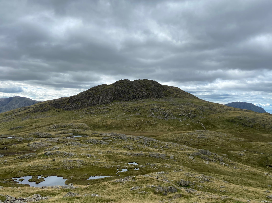
Bessyboot across The Combe
Fudge as usual is probably thinking about his empty stomach
Looking towards Seatoller and the appropriately named Mountain View Cottages
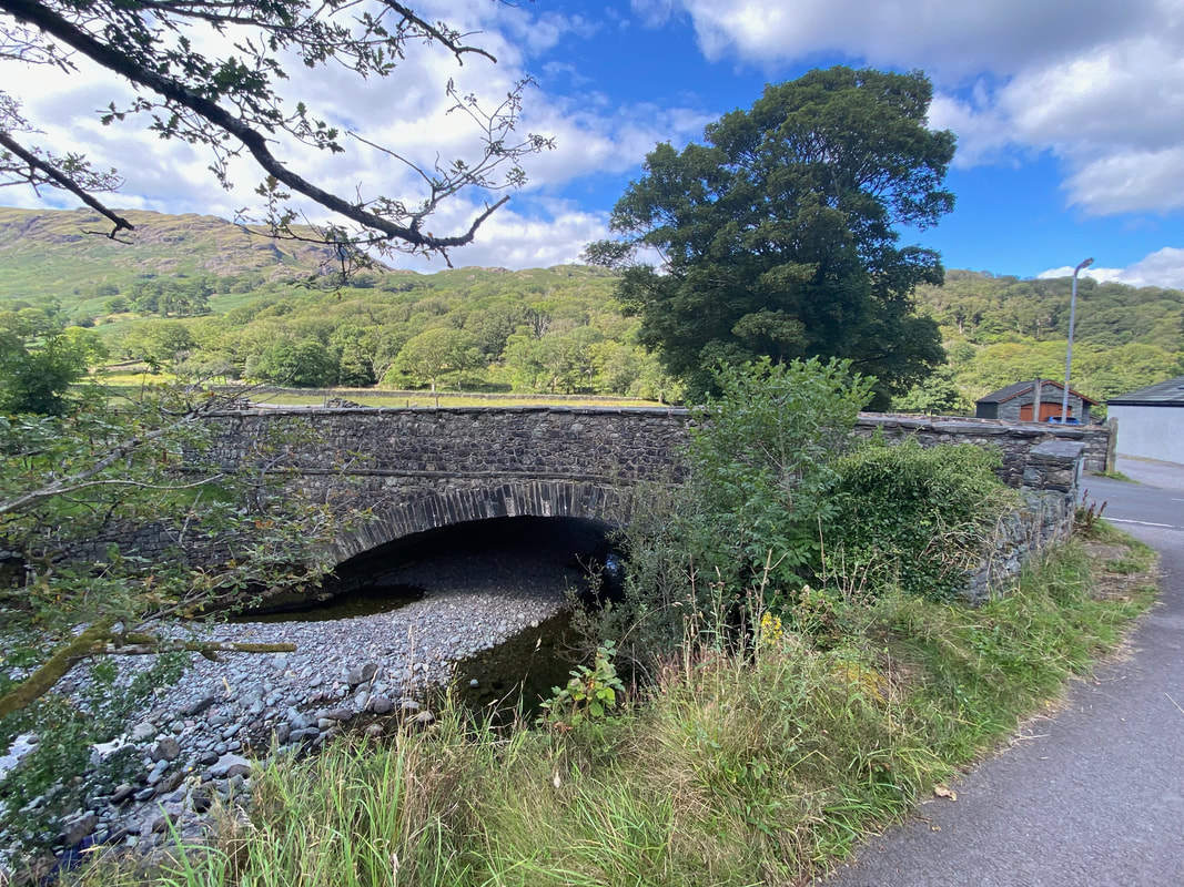
Strands Bridge over the River Derwent. We would now turn right and walk along the B5289 - there is a single file footpath on the left hand side of the road.
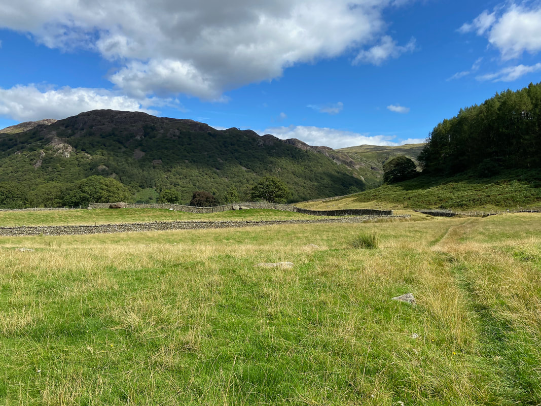
From the B5289 a path on the right heads over fields towards Stonethwaite
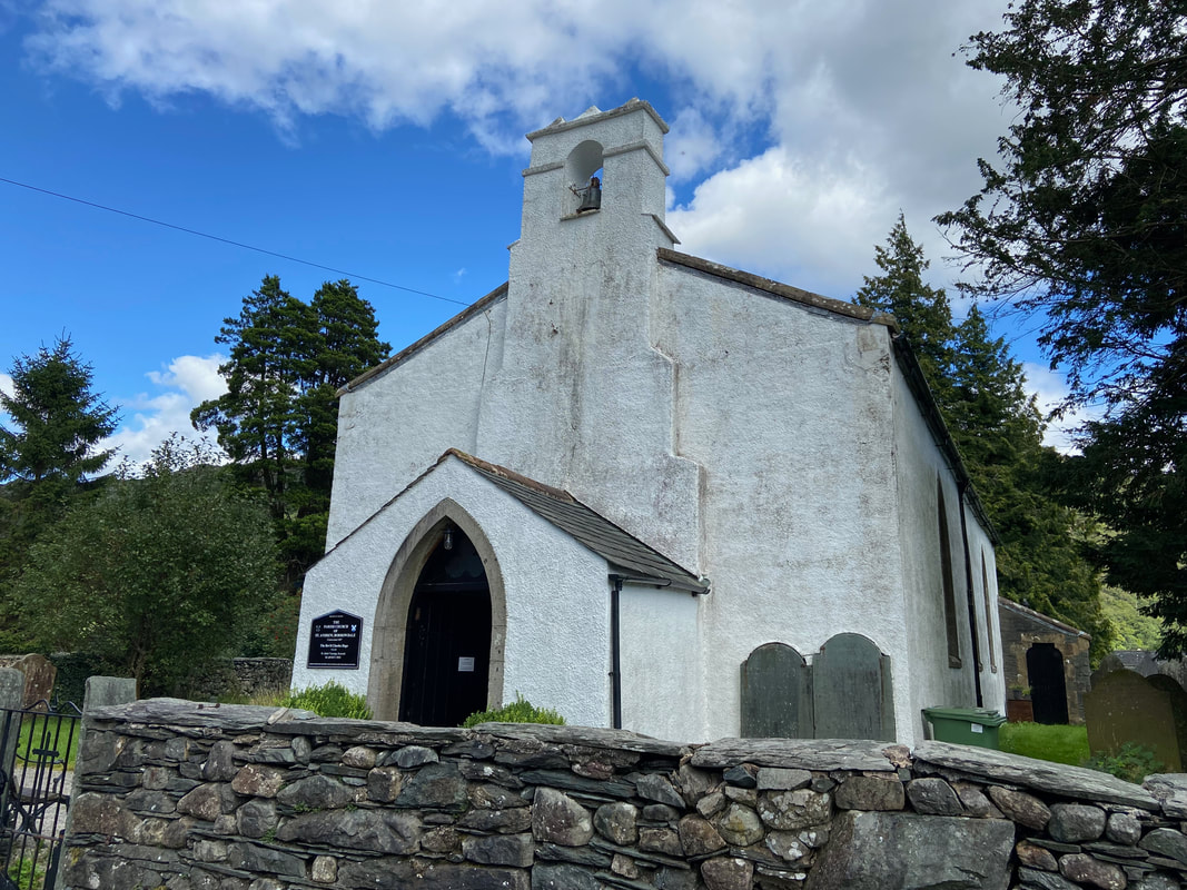
St Andrew's Church in Stonethwaite
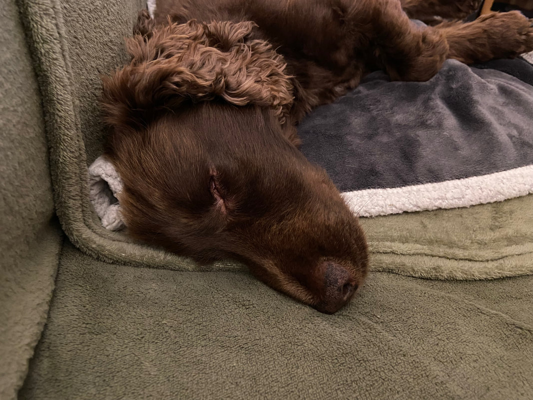
A tired and contented pup who once again had a great day out on the fells
