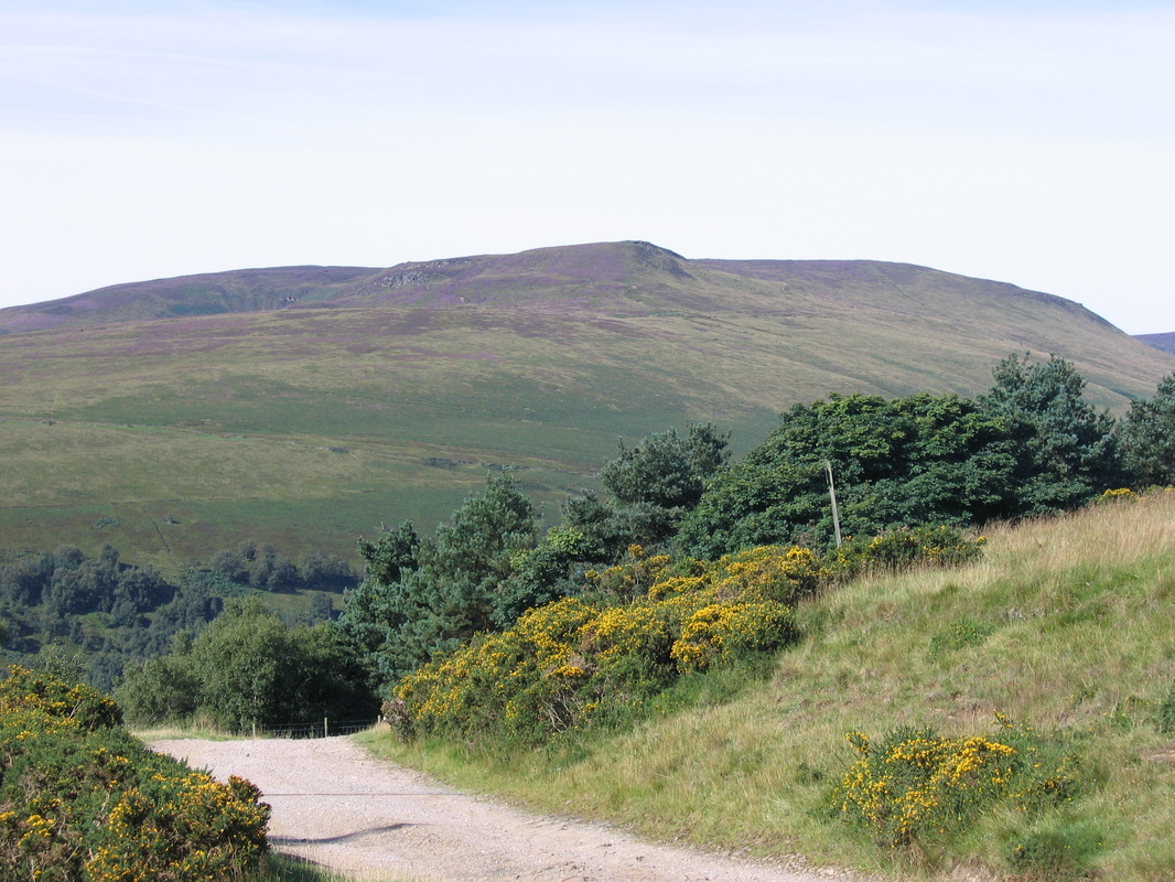
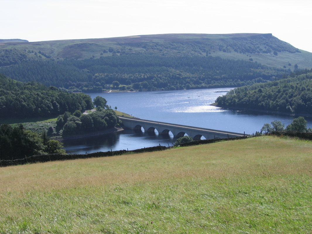
Ladybower Reservoir & Crook Hill - Friday 15 August 2008
Route
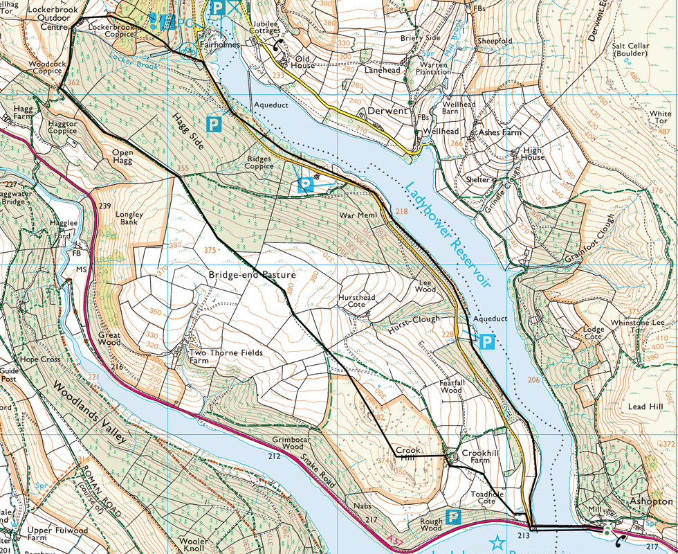
Ashopton Viaduct - Fairholmes - Lockerbrook - Bridge End Pasture - Crook Hill - Ashopton Viaduct
Parking
Parking verge on the A57 Snake Road near the Viaduct (Free) - Grid Ref SK196864.
Mileage
6 miles
Terrain
Good paths throughout.
Weather
Warm with good visibility.
Time Taken
3hrs
Total Ascent
902ft (275m)
Map
OL1 - The Peak District (Dark Peak Area)
|
GPX File
|
| ||
If the above GPX file fails to download or presents itself as an XML file once downloaded then please feel free to contact me and I will send you the GPX file via e-mail.
Walk Description
We had a beautiful day today with clear views, a lovely blue sky and no wind. This was the first of 2 walks, the second one being Derwent Edge this afternoon. The walk can either be started from the Ashopton Viaduct where there is free verge parking on the A57 or up at the Fairholmes Visitor's Centre.
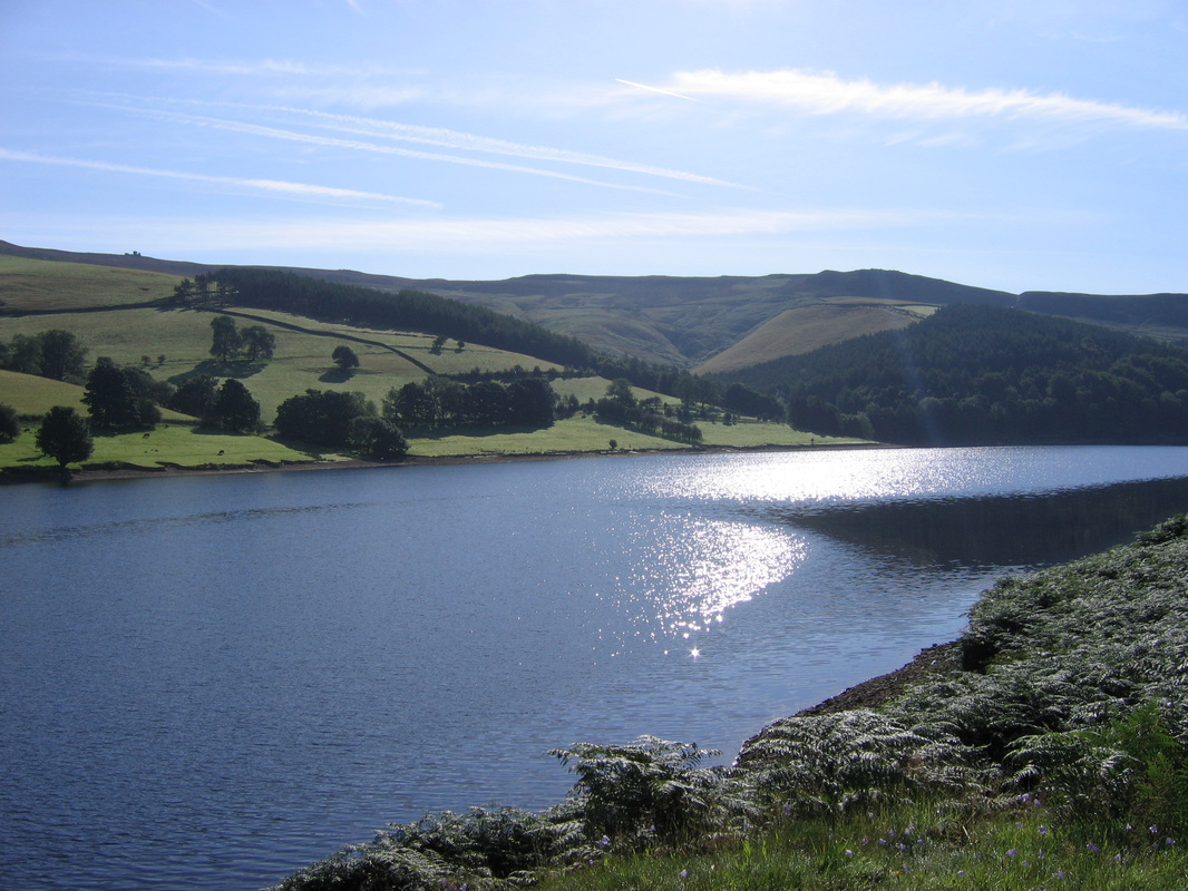
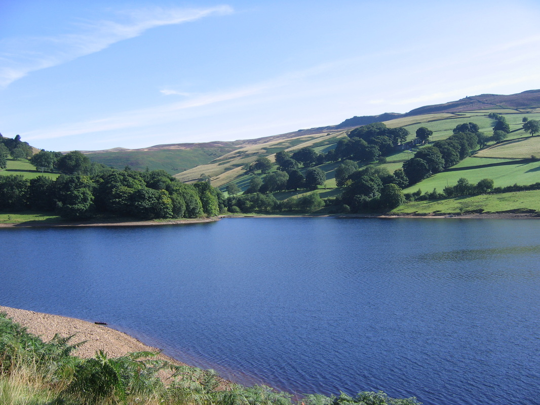
The route crosses the viaduct then heads along the shoreline path of Ladybower - this is a delightful, flat easy stretch with good views down the reservoir to Wellhead and up on to Derwent Edge. Reaching the road, there is a short distance on tarmac before a path heads to the left up through Lockerbrook Coppice and on to the Outdoor Centre. The path is very easy to follow and then moves along the top of Hagg Side, over Bridge End Pasture and up on to Crook Hill. From Crook Hill the route descends to Crookhill Farm and from here down on a good path back to the viaduct.
A delightful walk with not too much up and down but with beautiful scenery all around.
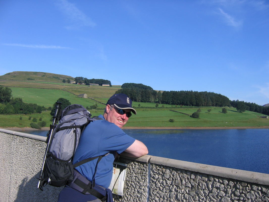
At the Ashopton Viaduct at 0900 on a sunny August morning in the Peak District - no one here!!
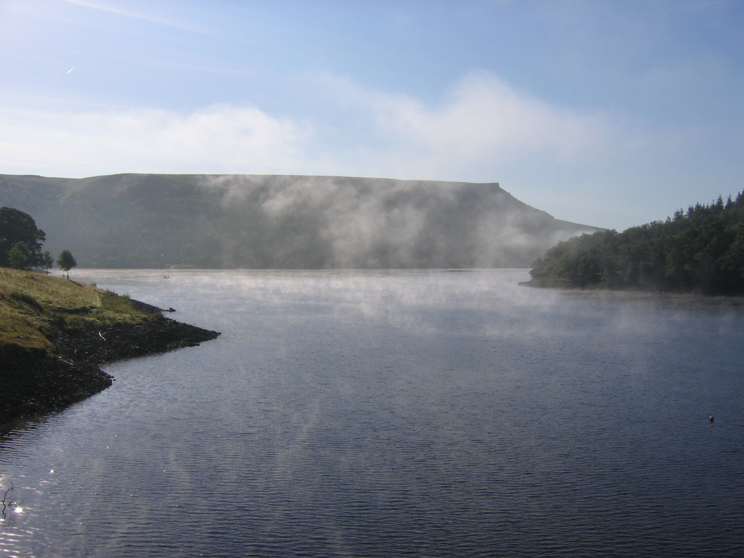
Atmospheric over the Reservoir & Bamford Edge - must get up there one day
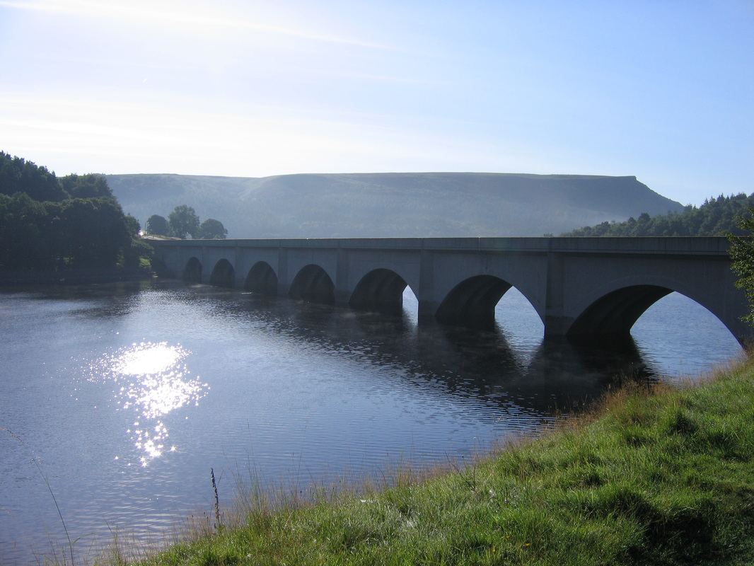
The Ashopton Viaduct which takes the A57 over the Reservoir - Bamford Edge is in the background
Looking back down the Reservoir to Derwent Moors
Wellhead and the ridge to Dovestone Tor
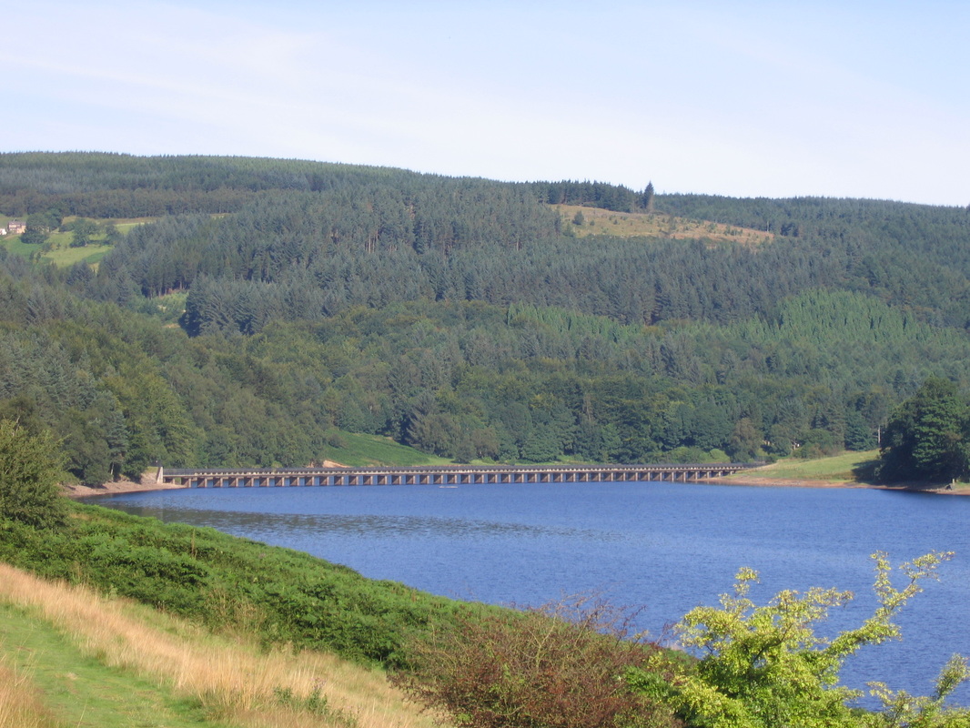
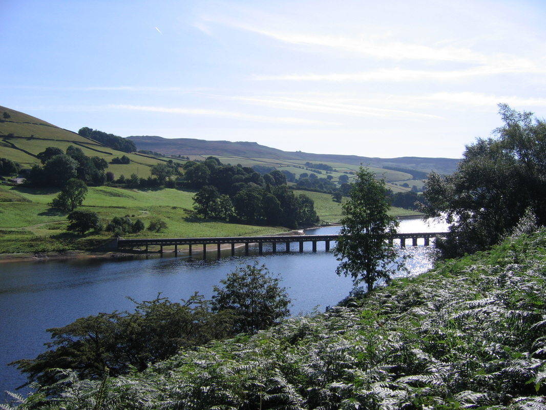
The Aqueduct up near Fairholmes
Climbing now & looking back to the Aqueduct & Bamford Edge
On the path near Lockerbrook Heights
Near Crookhill Farm on the descent back to the Viaduct
