Crag Fell & Grike - Saturday 21 April 2018
Route
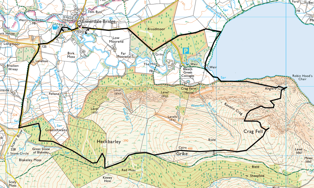
Ennerdale Bridge - Angler's Crag - Revelin Crag - Crag Fell - Grike - Scarny Brow - Ennerdale Bridge
Parking
Plenty of roadside parking in Ennerdale Bridge
Mileage
8 miles
Terrain
Good mountain paths & tracks - the path from Angler's Crag to above the Pinnacles is intermittent.
Weather
Sunny, light breezes & excellent visibility.
Time Taken
6hrs
Total Ascent
2057ft (627m)
Wainwrights
2
Map
OL4 - The English Lakes (North Western Area)
Walkers
Dave, Angie & Fudge with Jon Hardwick
|
GPX File
|
| ||
If the above GPX file fails to download or presents itself as an XML file once downloaded then please feel free to contact me and I will send you the GPX file via e-mail.
Walk Description
The walk today started from the village of Ennerdale Bridge which is normally the end of the first day of the Coast to Coast walk. There are no designated Car Parks in the village therefore it is just a question of parking sensibly & safely on the roadside. This walk can be started from two other places on the route - either at Bleach Green near the lake or at the top of Scarny Brow. Both alternative start points have parking facilities - Bleach Green has two dedicated parking areas (Grid Ref NY 0851 1532, postcode CA23 3AS) whilst Scarny Brow (NY 0617 1440, postcode CA23 3AH) is off road verge parking.
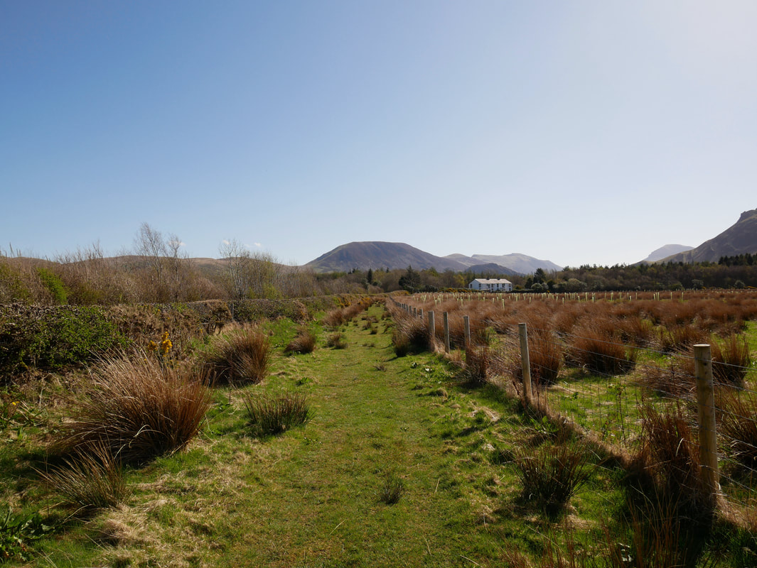
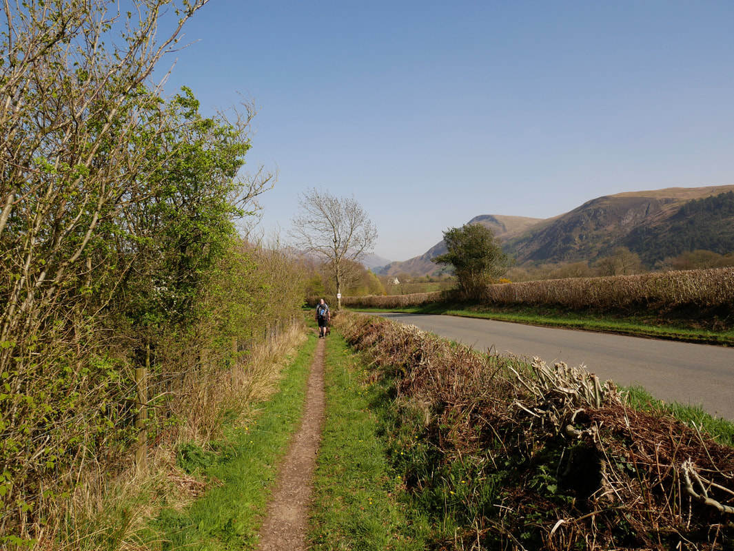
Once clear of Ennerdale Bridge a footpath on the right leaves the road and heads towards Bleach Green. Since this photograph was taken (April 2018), this grassy path is now a gravel track and is a much easier transit.
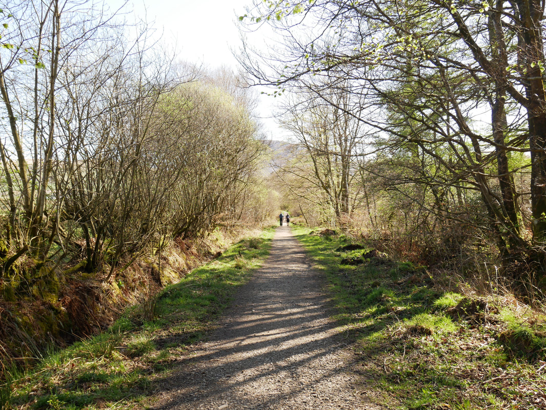
Heading for Ennerdale Water. This gravel track is a much better alternative than the road in order to reach the lake.
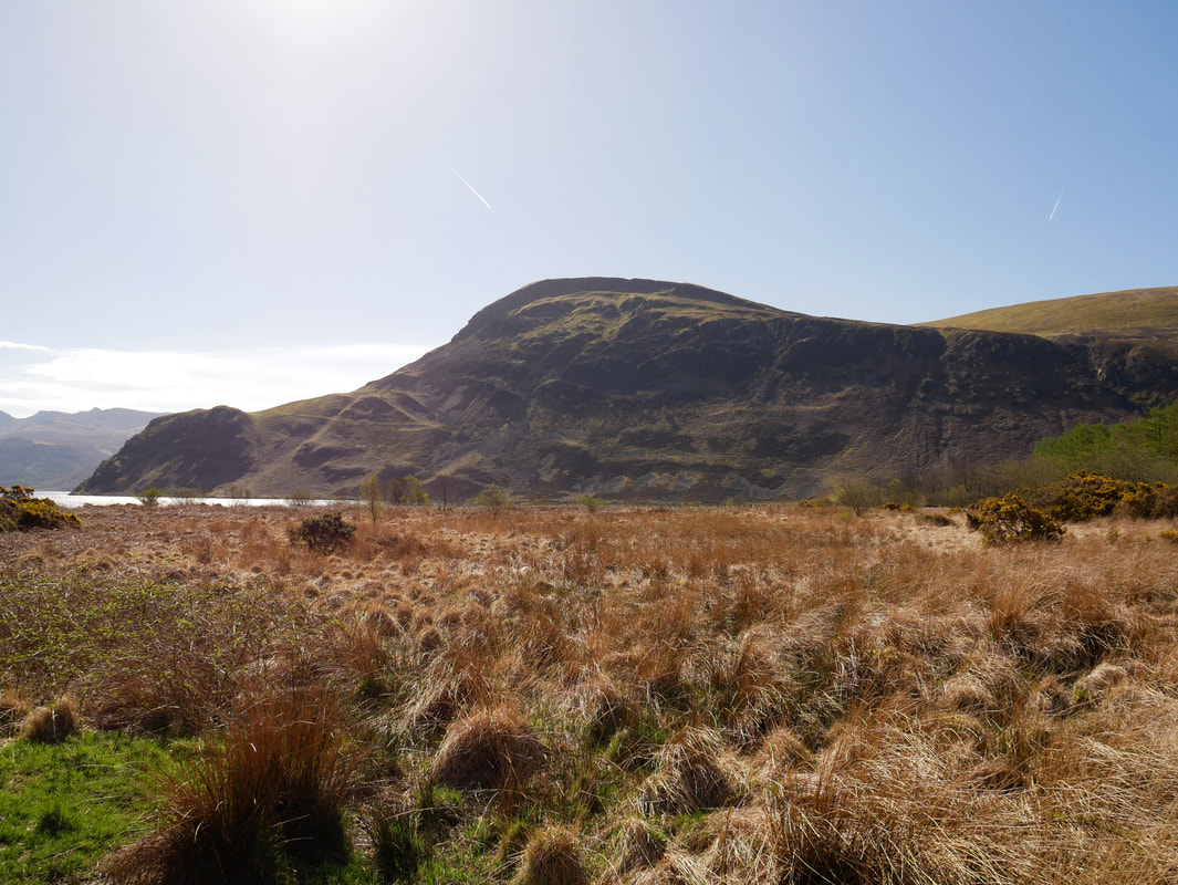
Nearing the lake shore the first of todays climbs comes into view. Anglers Crag is to the left with Revelin Crag on Crag Fell centre.
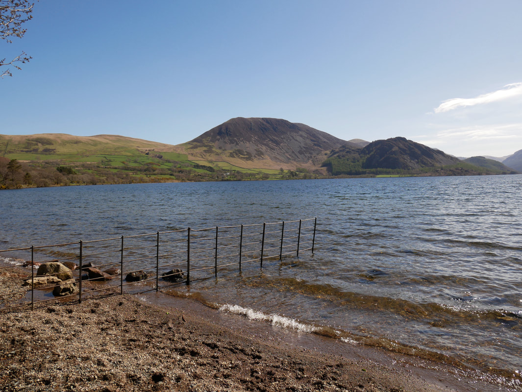
The western shoreline of Ennerdale Water looking to Herdus & Bowness Knott
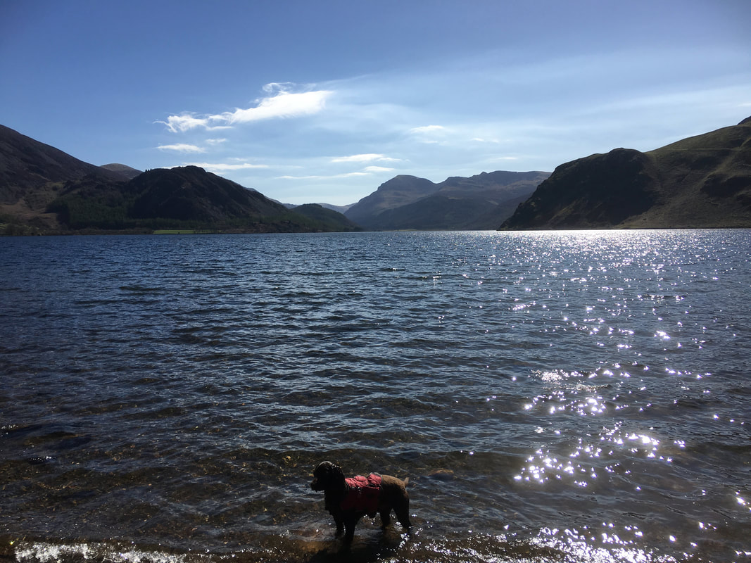
A shadowy figure emerges from the lake intent on arsing about in the water. White Pike on Pillar is in the centre of shot.
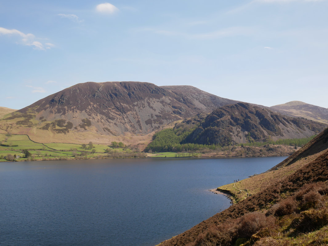
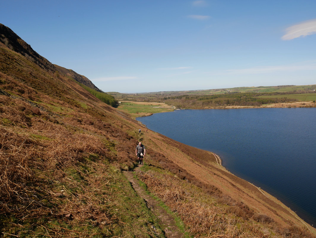
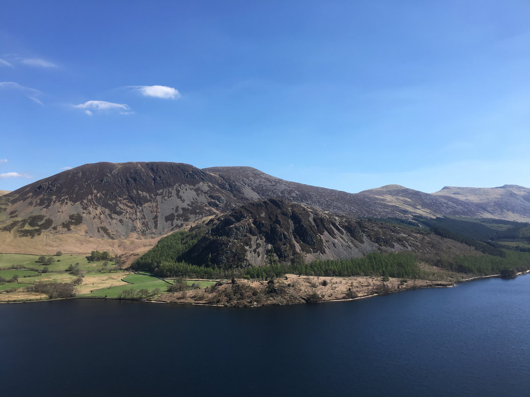
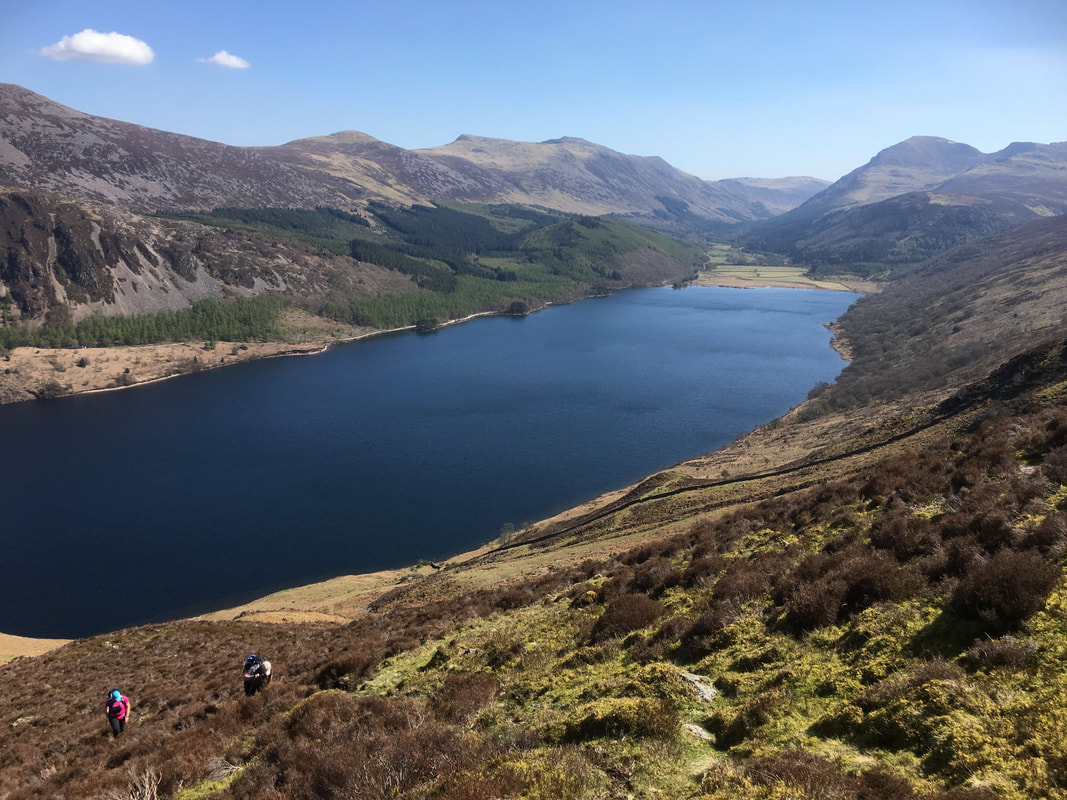
From the western end of Ennerdale Water the path heads along the shoreline. After 250 yards a rising path on the right leaves the shoreline at Grid Reference NY 0925 1507 and heads up to Anglers Crag. The path is easily missed therefore walkers will need to keep an eye out for it. This shot is looking down to the shoreline path over Ennerdale Water to Herdus, Great Borne, Bowness Knott & Starling Dodd.
Looking back down the Anglers Crag path
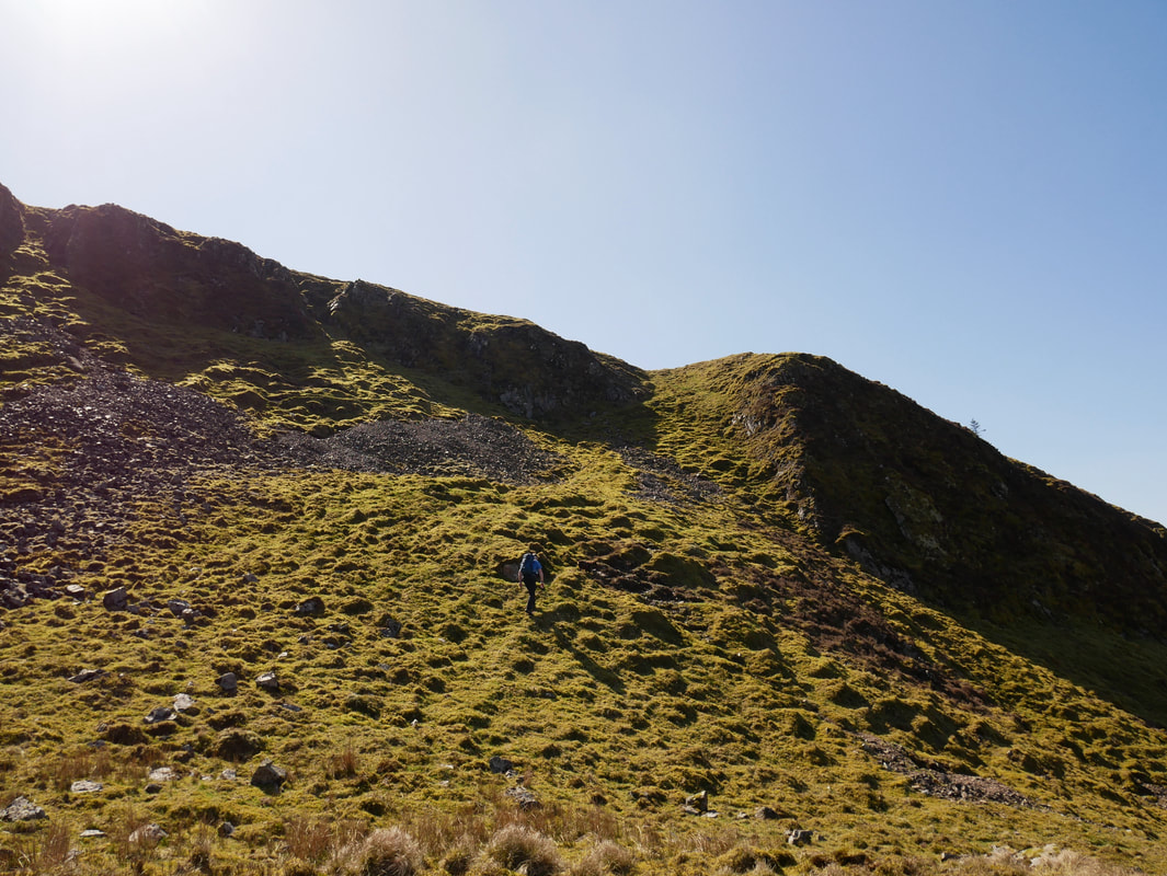
The final approach to Anglers Crag. The last climb is up a grassy rake seen ahead.
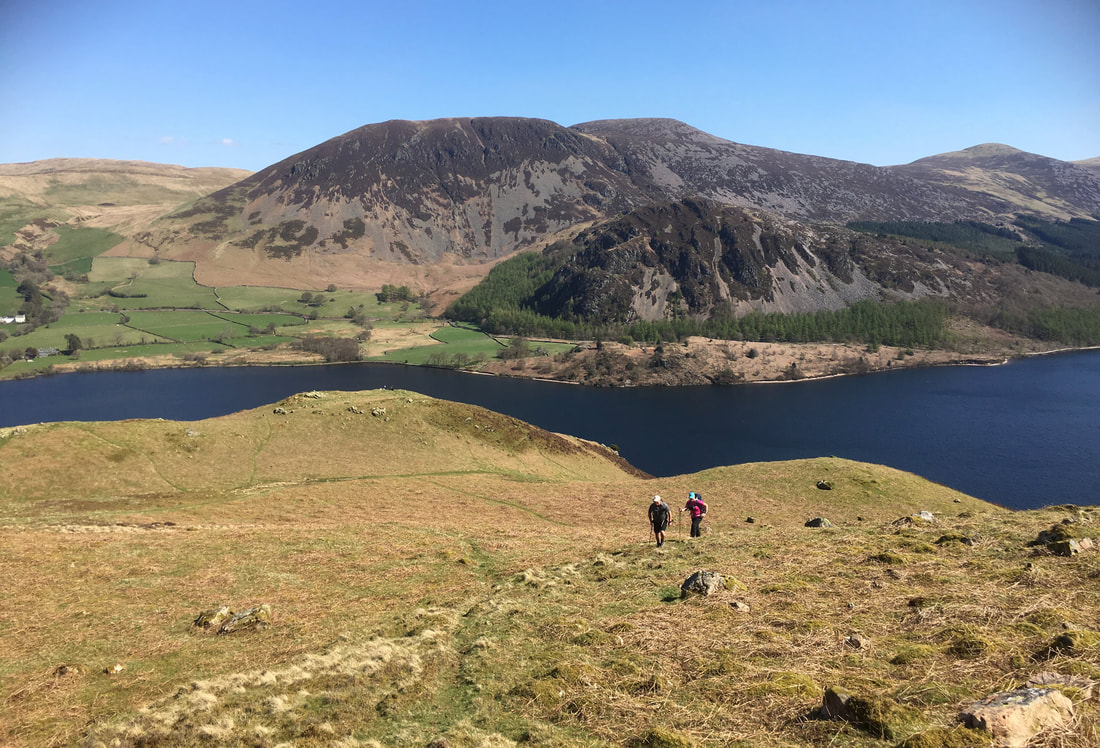
Fudge and I monitor Jon & Angie's progress up the climb from the grassy rake
From the top of Anglers Crag the High Stile ridge comes into view. Above Bowness Knott are Herdus, Great Borne, Starling Dodd, Red Pike & High Stile.
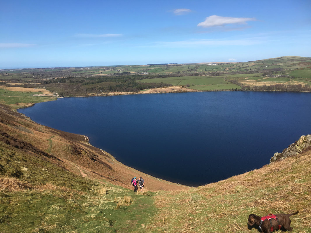
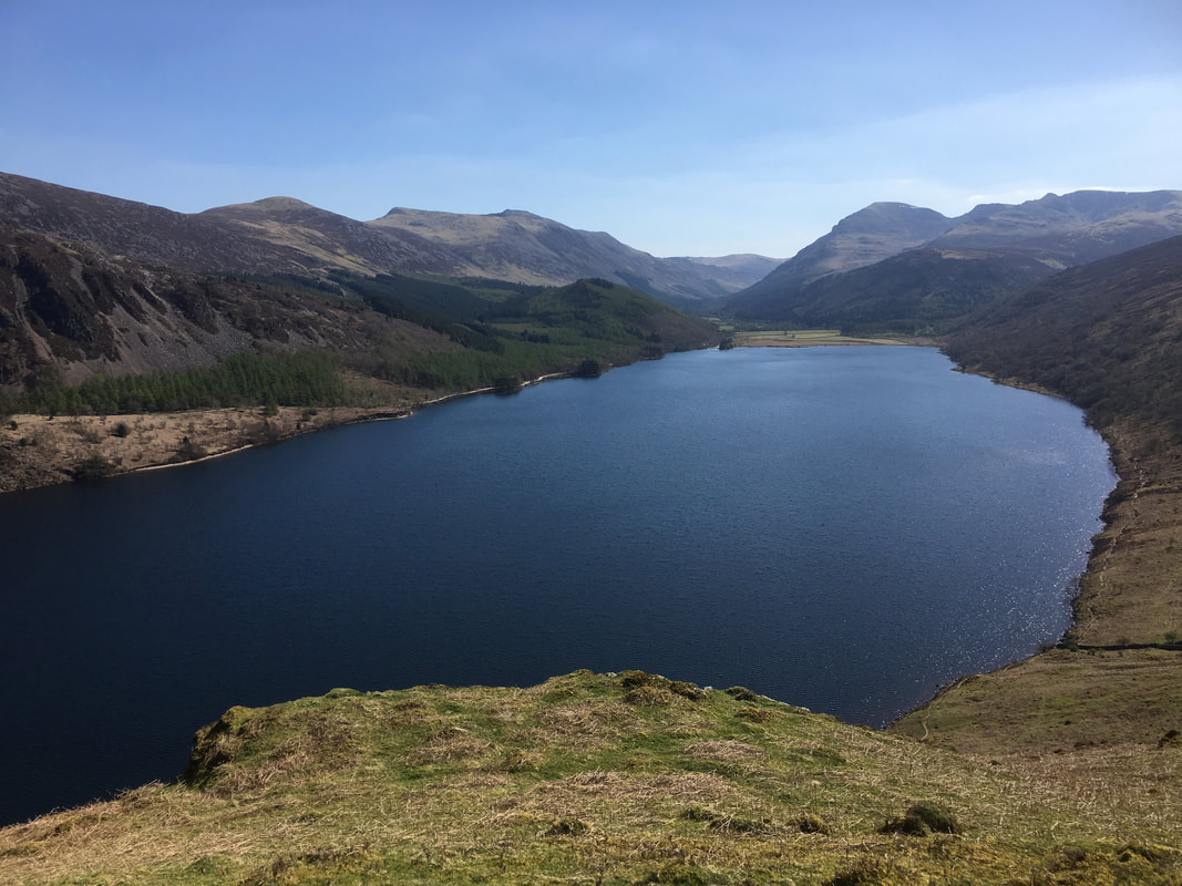
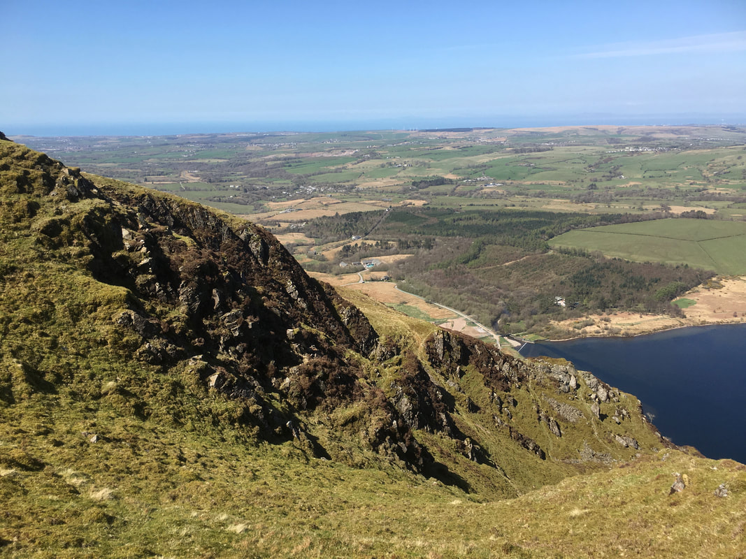
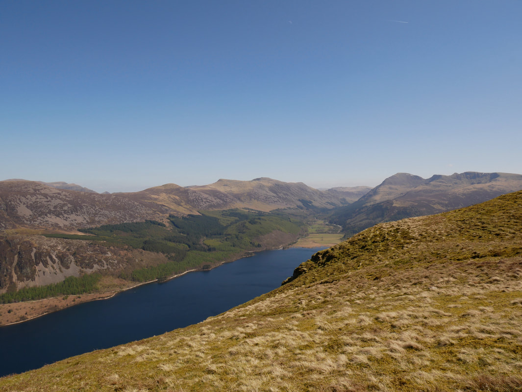
The superb view down Ennerdale Water from the summit of Anglers Crag. We have stood on this spot many times and never fail to be totally amazed at this view, particularly on a day like today.
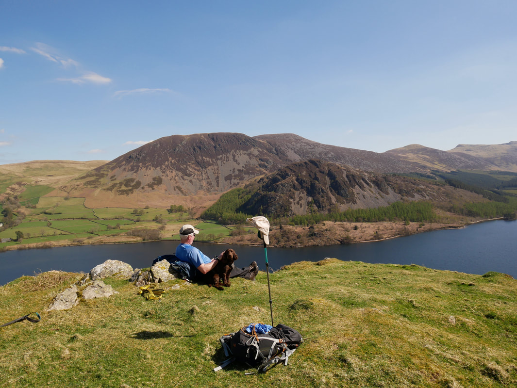
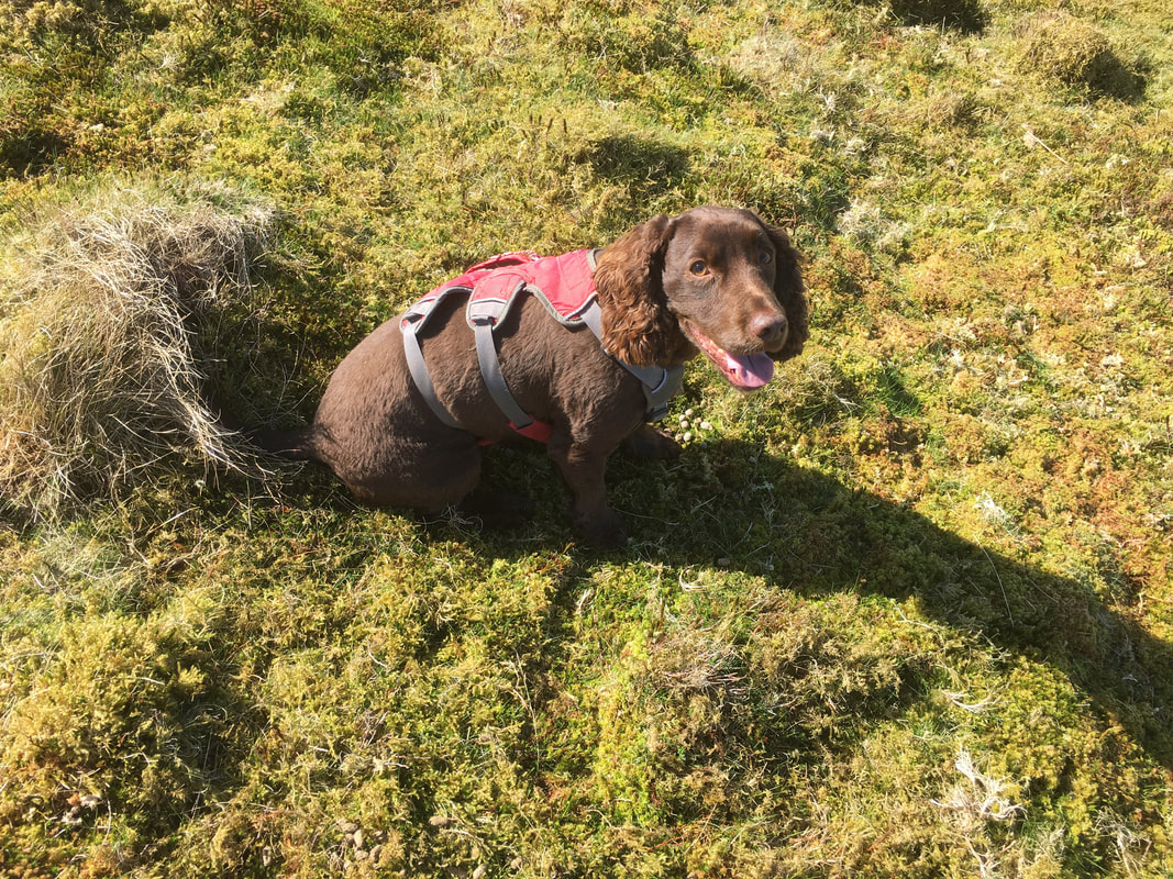
Time for a sit down eh Fudge and enjoy the scenery
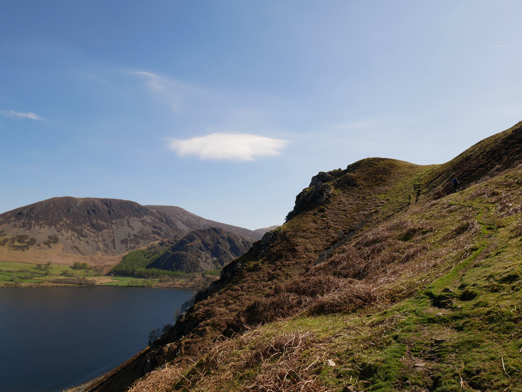
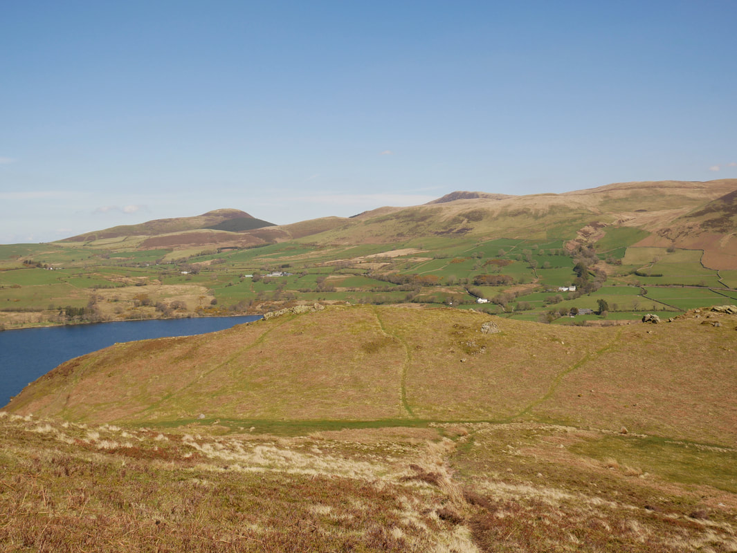
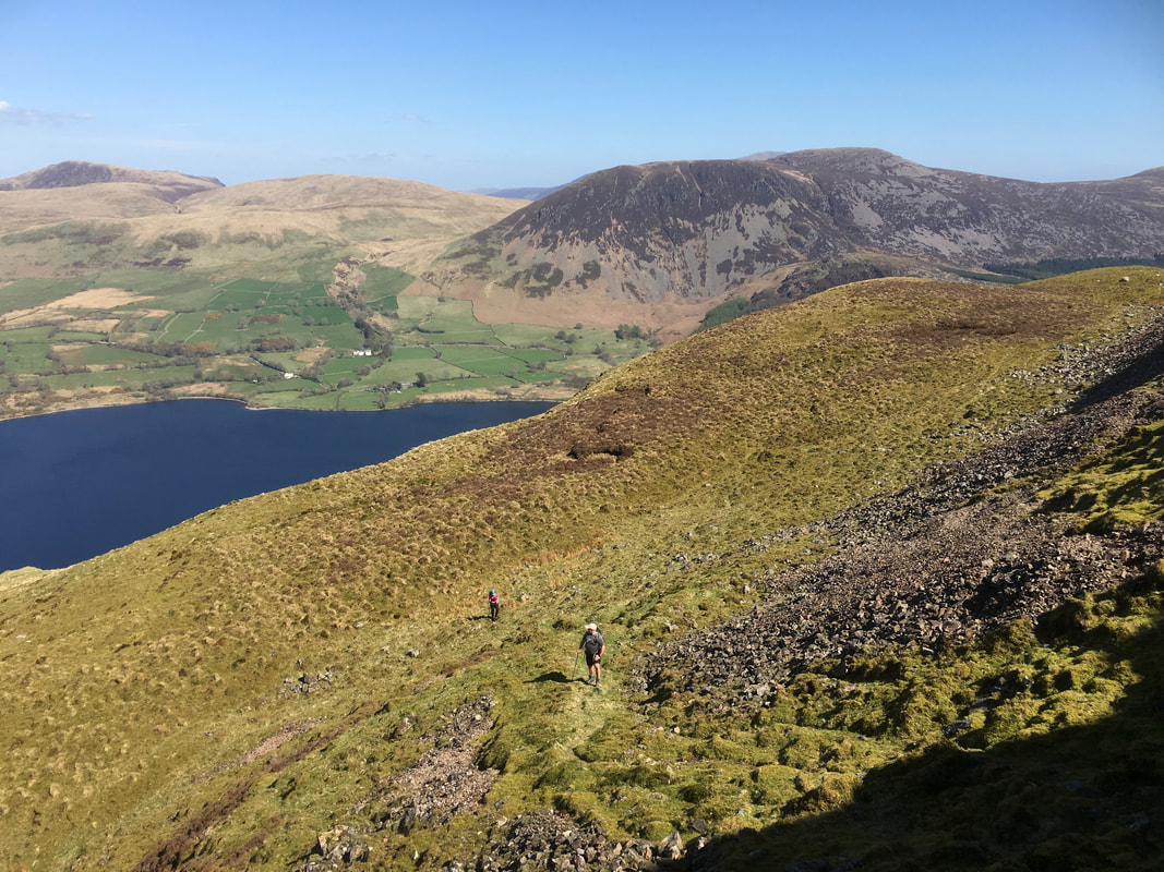
Looking down on Anglers Crag from the path up to the Crag Fell Pinnacles. The path to the left is the one we took from the shoreline of Ennerdale Water. The other two paths leave from separate areas of the summit but converge at the same place. The fell in the distance is Knock Murton with Blake Fell peeping out centre right.
Jon & Angie making their way up the first part of the ascent to the Pinnacles
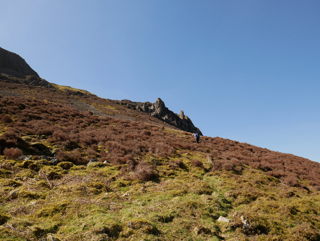
The path to Anglers Crag reaches a junction where I am standing and heads to the left. After a hundred yards or so it switches back to the right to continue on towards the Pinnacles. There is an intermittent path that heads in the direction of the Pinnacles from where I am and passes below the rocks however the switchback route to the left is the easier and more enjoyable way up.
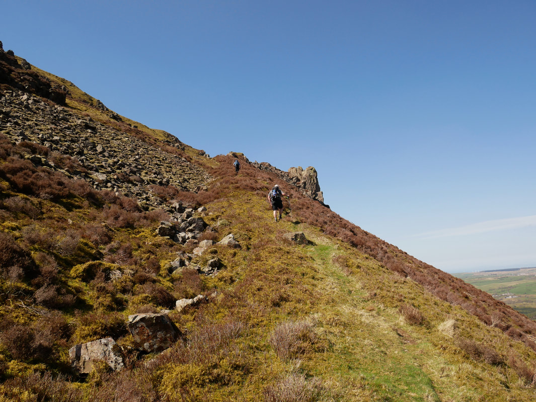
Having switched back, the path to the Pinnacles steepens as we near the rocks
Almost there now as we near the Pinnacles
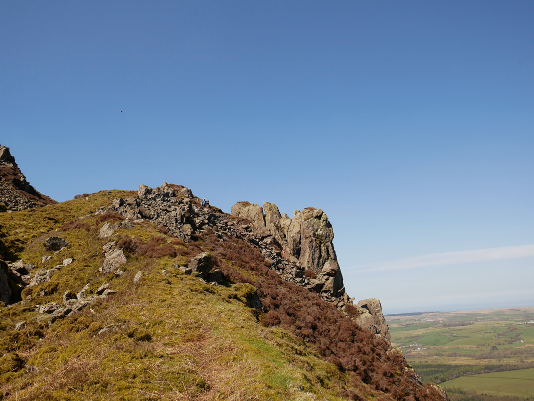
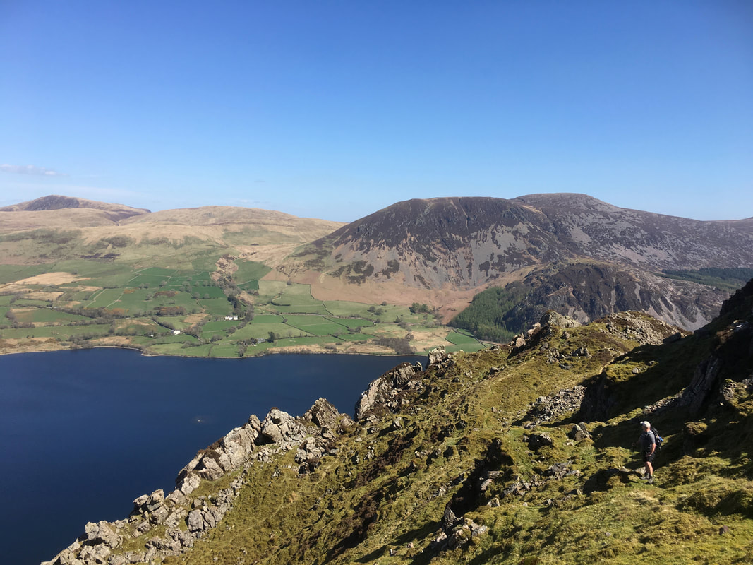
The final part of the ascent to reach the Pinnacles
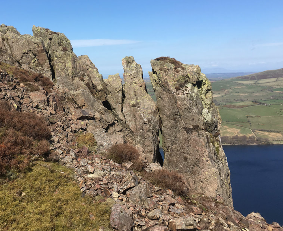
Up close and personal with the Crag Fell Pinnacles
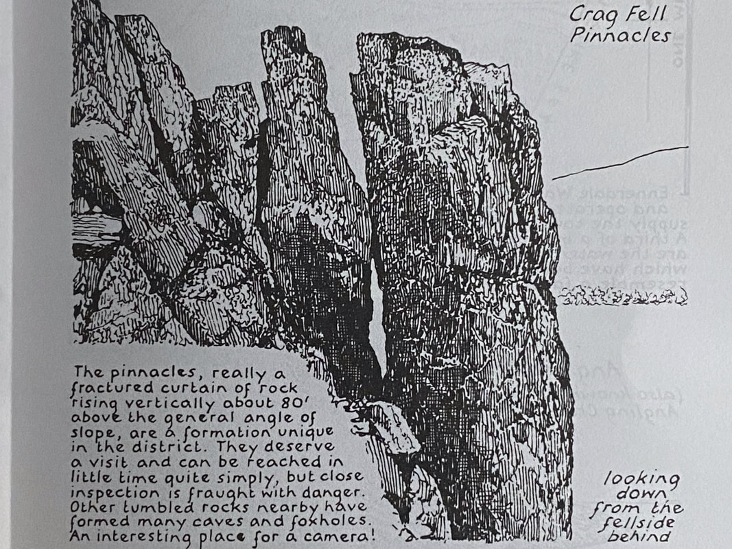
Wainwright's drawing (Crag Fell 2) from almost the exact same spot where I took the photograph above. As can be seen, he was extremely accurate and the rock has not changed in the intervening years from when he first drew the image between Autumn 1963 and late 1965.
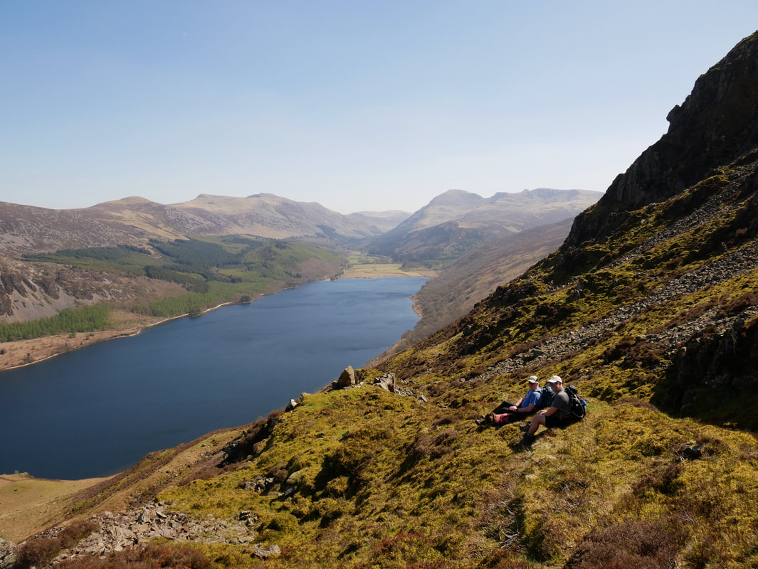
A nice place for a little breather as we enjoy the fantastic view down Ennerdale Water from the Pinnacles. Apart from the times when I have brought people up this way, I have never ever seen anybody else here.
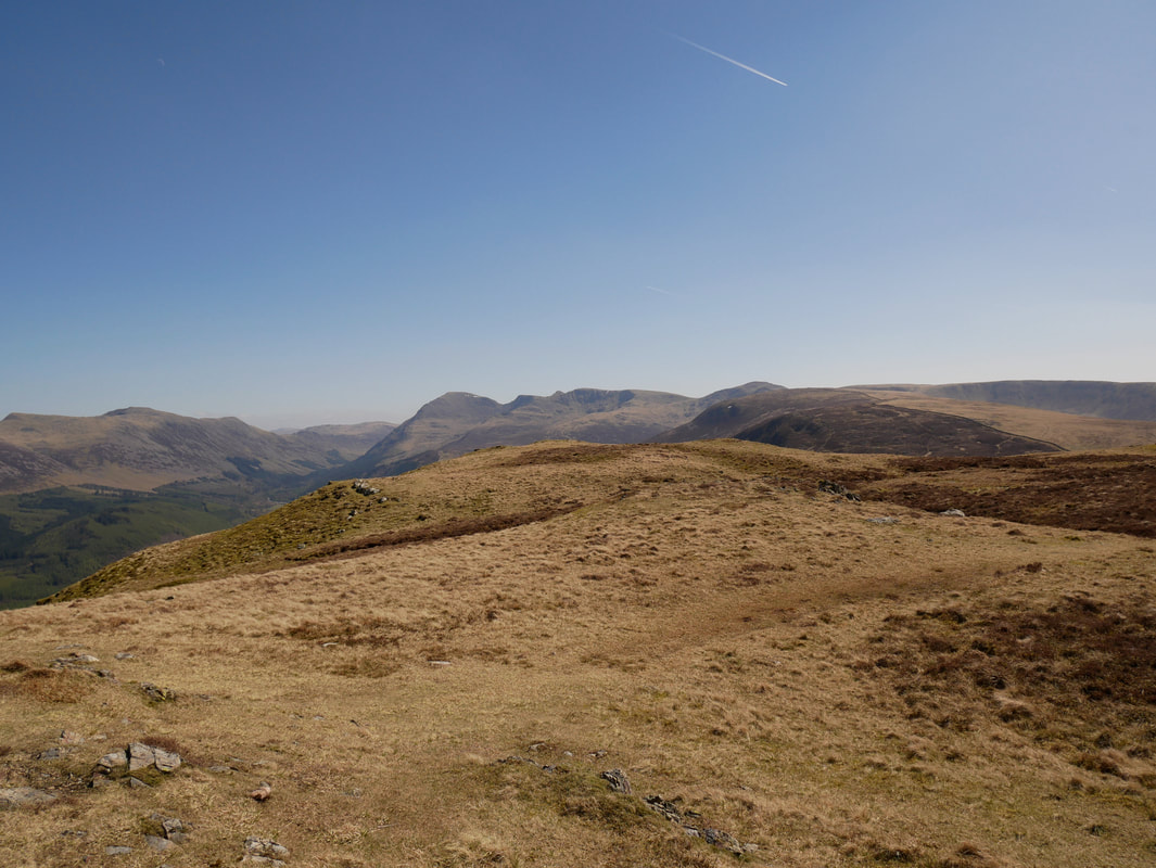
From the Pinnacles it was time to head up on to Crag Fell. The path is intermittent and it is simply a case of taking a bearing and following it south west. The going is pretty good over gently undulating fell side.
The slopes of Revelin Crag looking to Ennerdale Bridge
Fresh from his groom, Fudge was enjoying the benefits of having a little less fur on today
A path of sorts leads to a grassy rake which then joins the main path coming up from Ben Gill
Looking down from the top of the grassy rake
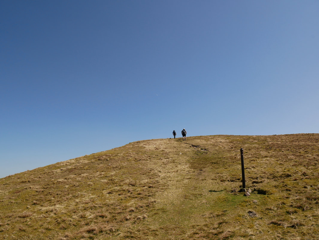
At the top of the rake at an old post, the route joins the path coming up from Ben Gill
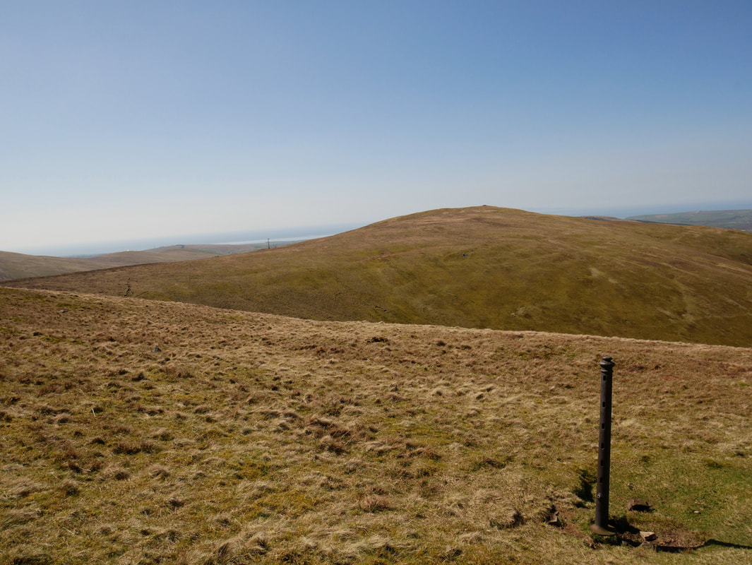
Grike from the old fence post
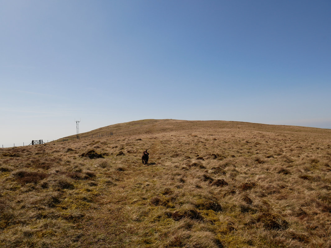
The summit of Crag Fell now in sight - the route curves to the right around this grassy depression
The summit of Crag Fell looking to Knock Murton, Blake Fell, Gavel Fell, Herdus & Great Borne
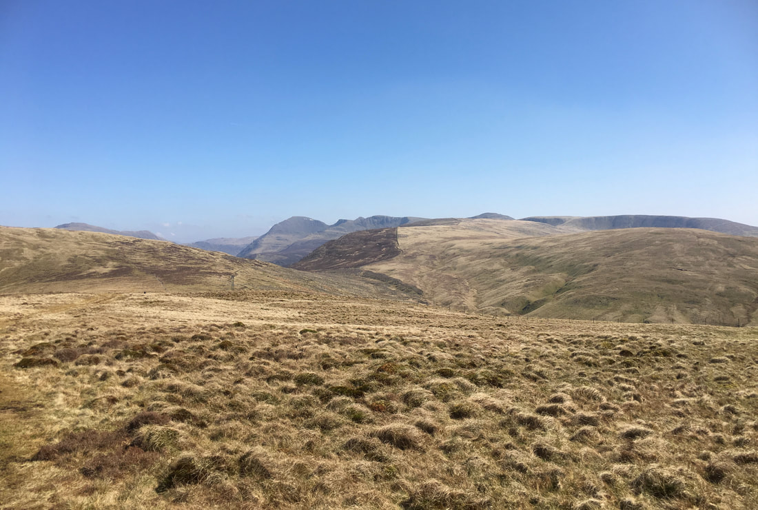
The path to Whoap & Lank Rigg goes off to the centre right however today we were off to Grike which is the path at the bottom right of the shot.
The view from Crag Fell down Ennerdale Water
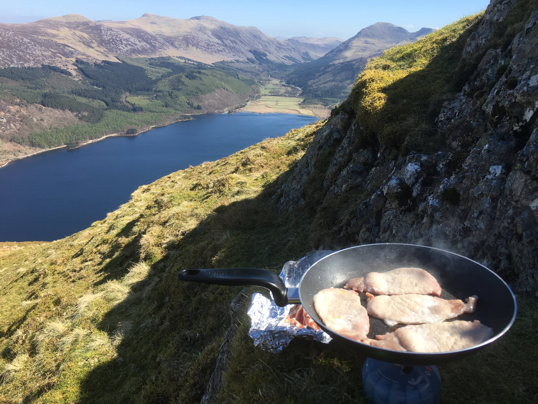
Lunch - and what a place to cook it
From Crag Fell the route heads south west to a fence to then begin the gentle transit to Grike. If the weather is ropey, the gate on the left leads down to the old mine road.
On the ascent to Grike with the slopes of Crag Fell to the left then Pillar, Black Crag, Steeple, Scoat Fell, Haycock & Caw Fell. The fell in the immediate centre foreground is Iron Crag.
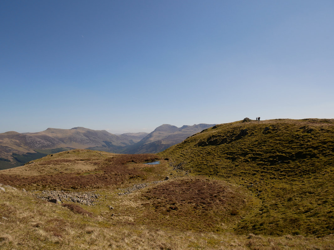
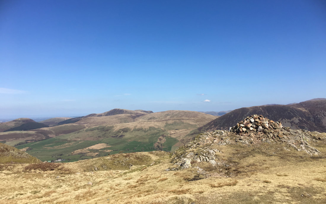
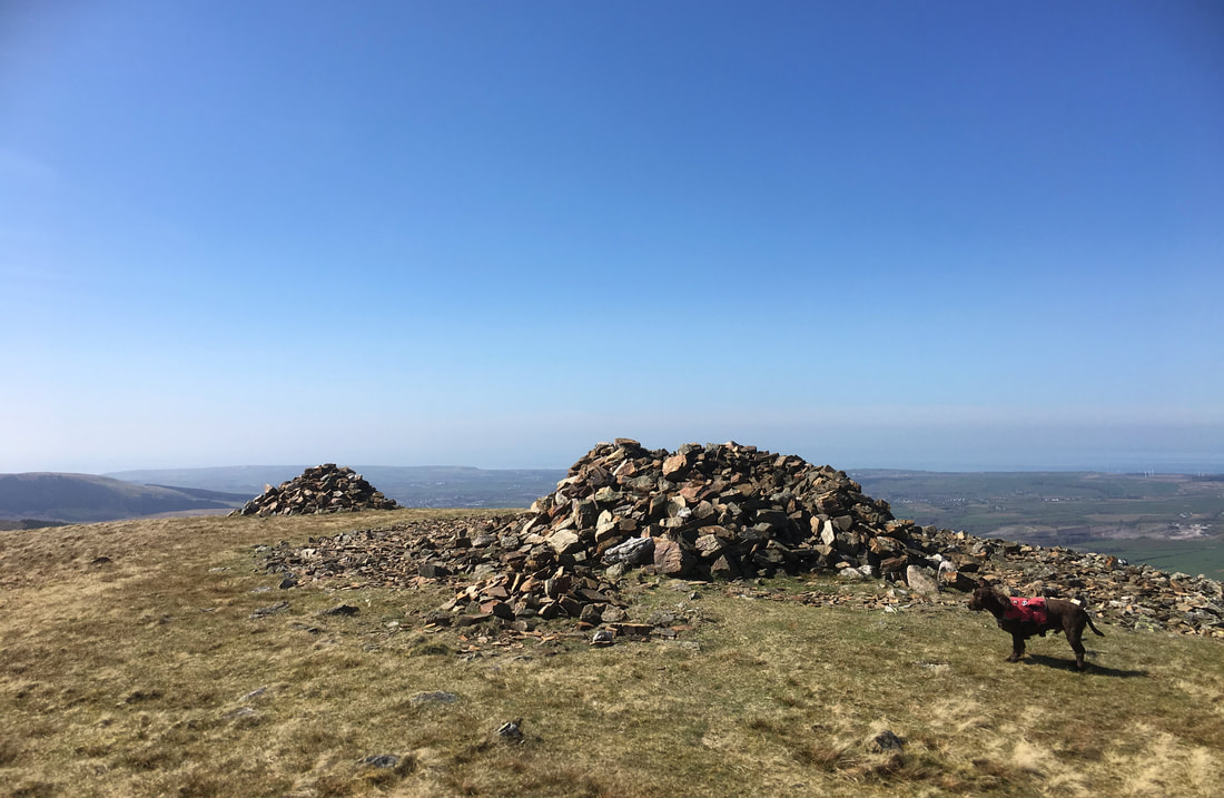
The summit of Grike - large cairn and an even larger tumulus which has been hollowed out to make a summit shelter.
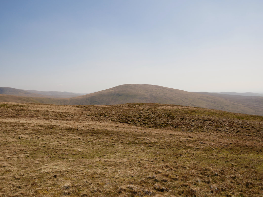
Lank Rigg from Grike
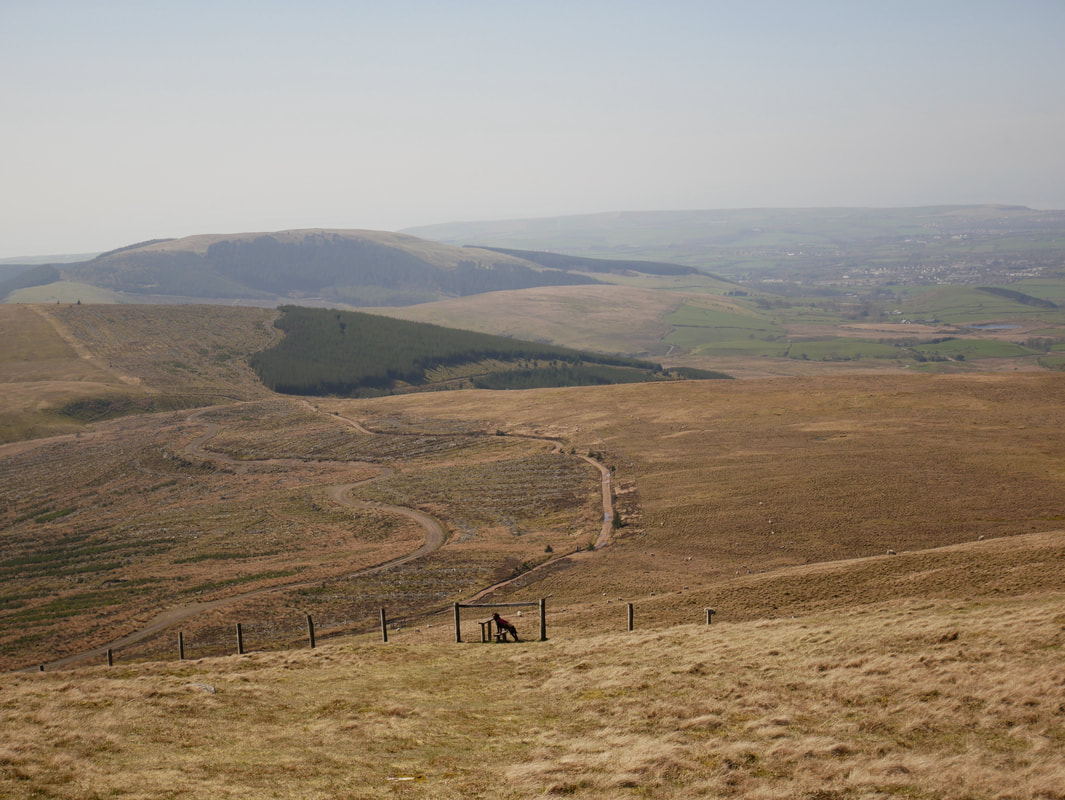
From the summit of Grike a path heads gently down to a stile where Fudge waits patiently to be lifted over. From the stile, the path steepens to reach the old mine road. The mine road starts at Scaly Moss near Ennerdale Bridge and led to the iron ore mine near Red Beck to the east of Crag Fell.
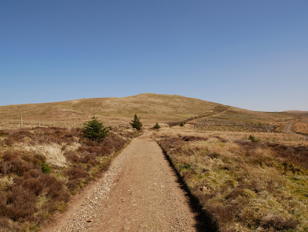
Heading along the old mine road with Blakeley Raise to the left
Grike from the old mine road
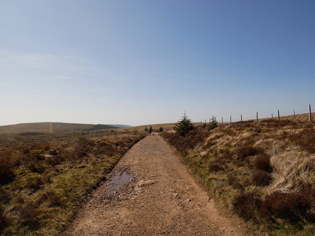
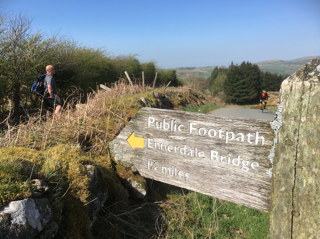
At the top of Scarny Brow the Coast to Coast route is joined for the last mile or so to Ennerdale Bridge. Don't be tempted to walk down the road - it is a short cut to Sellafield and cars travel along it at speed - the road also has no pavement.
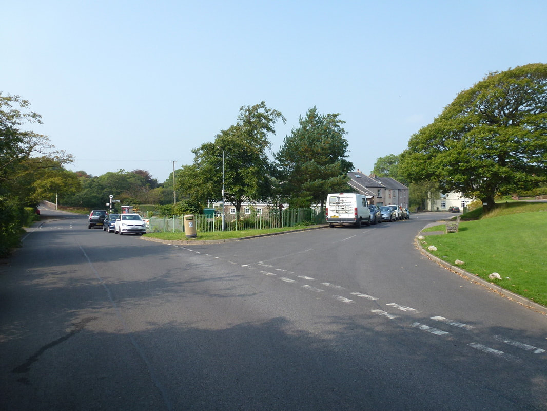
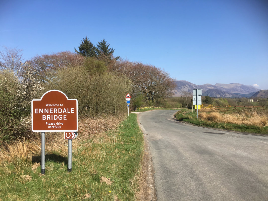
Arriving in Ennerdale Bridge - and it is nearly Beer O'clock. The route comes in from the right and crosses this road to reach another off road path to the left.
The hedge line path that leads to Ennerdale Bridge
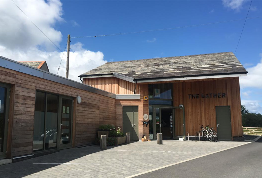
There are two very good pubs in Ennerdale Bridge (The Fox & Hounds & The Shepherds Arms) and also this excellent cafe called The Gather. If you have time then call in - the cafe & shop is community run and a link to their website is here
