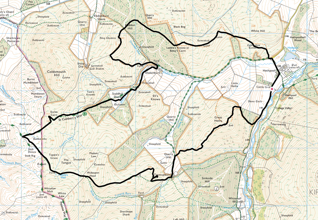
Ring Chesters & Great Hetha - Monday 23 September 2019
Route
Hethpool - Laddie's Knowe - Haddon Hill - Ring Chesters - Elsdonburn - Scaldhill Shank - Eccles Cairn - Stob Stones - Wideopen Head - Trowupburn - Great Hetha - Hethpool
Parking
The College Valley Car Park at Hethpool (Free) - Grid Ref NT894281. The nearest postcode is NE71 6TW.
Mileage
9.7 miles
Terrain
Grassy mountain paths with a short walk along a quiet road near the end of the walk.
Weather
Overcast mainly with some sunny spells with light breezes.
Time Taken
4hrs 45mins
Total Ascent
1994ft (608m)
Map
OL16 - The Cheviot Hills (Jedburgh & Wooler)
Walkers
Dave, Angie & Fudge
|
GPX File
|
| ||
If the above GPX file fails to download or presents itself as an XML file once downloaded then please feel free to contact me and I will send you the GPX file via e-mail.
Walk Description
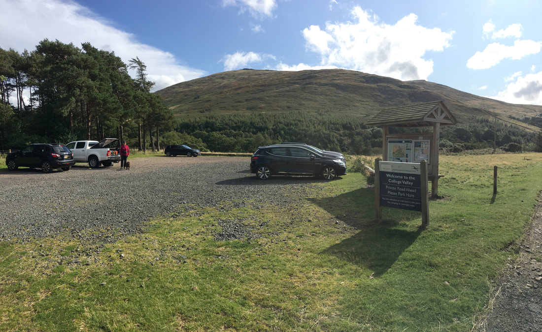
The walk starts from the large Car Park which is situated about 350 yards south west of Hethpool.
It should be noted that there is no access any further down the College Valley without a permit. To apply for a permit please follow the link here.
It should be noted that there is no access any further down the College Valley without a permit. To apply for a permit please follow the link here.
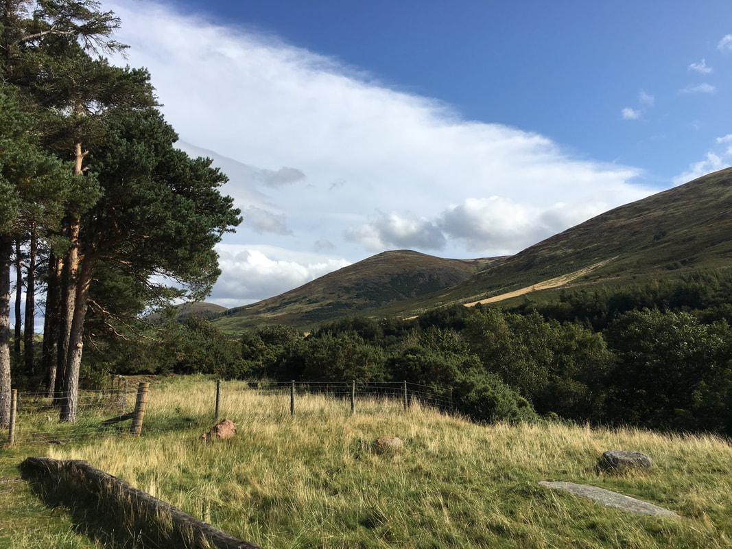
Looking to Easter Tor with Yeavering Bell a distant left
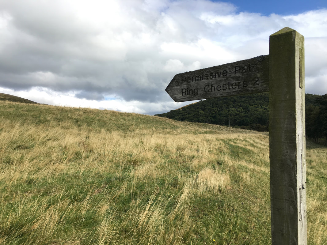
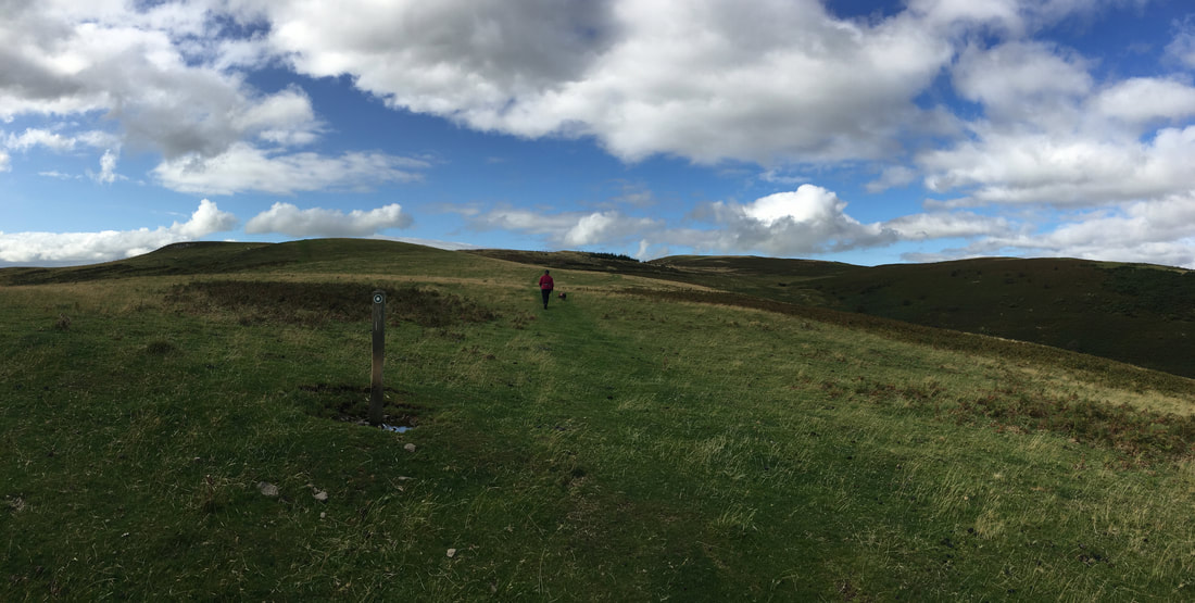
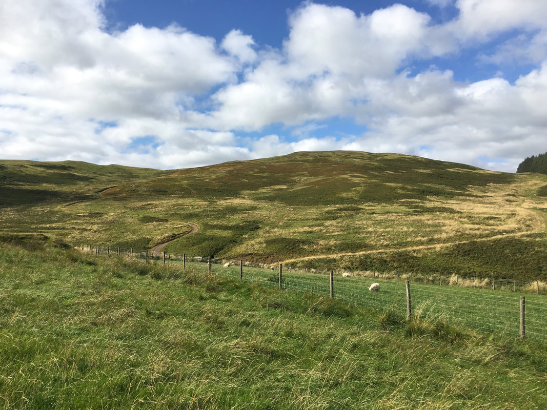
From the Elsdonburn access track a path heads off to the right to Ring Chesters
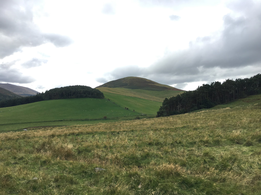
Looking across to Great Hetha from the path to Ring Chesters
Heading for Ring Chesters
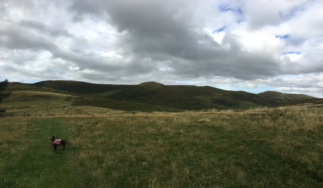
It is clear that Fudge once more has heard somebody opening up a Packet of Crisps in Wooler
It is clear that Fudge once more has heard somebody opening up a Packet of Crisps in Wooler
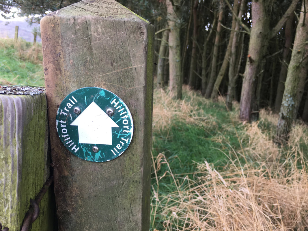
The route follows the Ring Chesters Hillfort Trail - one of many trails of this kind in the area
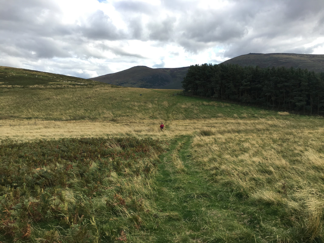
Looking back to White Hill from near Laddie's Knowe
Approaching Ring Chesters from Laddie's Knowe
Granted it wasn't a great day for photography today - never mind, it was still great to be out.
The summit of Ring Chesters with the resident Bull hogging the top. The huge bulk of The Cheviot is to the left.
Ring Chesters is a well preserved Iron Age settlement which is oval in shape surrounded by three concentric banks. The inside of the enclosure contains the circular stone foundations of about eight stone-built prehistoric buildings. The hill fort occupies a prominent position on a hilltop and there is evidence nearby of at least two phases of agricultural use in the form of cultivation terraces, one of which is passed from the start of the walk at Hethpool.
Ring Chesters is a well preserved Iron Age settlement which is oval in shape surrounded by three concentric banks. The inside of the enclosure contains the circular stone foundations of about eight stone-built prehistoric buildings. The hill fort occupies a prominent position on a hilltop and there is evidence nearby of at least two phases of agricultural use in the form of cultivation terraces, one of which is passed from the start of the walk at Hethpool.
From Ring Chesters the route drops down to the remote farm at Elsdonburn and our rendezvous with the St Cuthbert Way.
In the distance are Yeavering Bell, Easter Tor & Wester Tor.
In the distance are Yeavering Bell, Easter Tor & Wester Tor.
Ring Chesters from near Elsdonburn
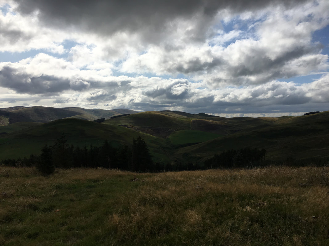
Looking back towards Elsdonburn with Ring Chesters to the left & Ell's Knowe to the right
Another view from the St Cuthbert's Way looking back towards Elsdonburn.
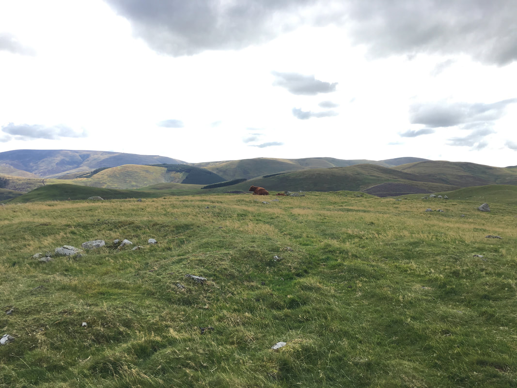
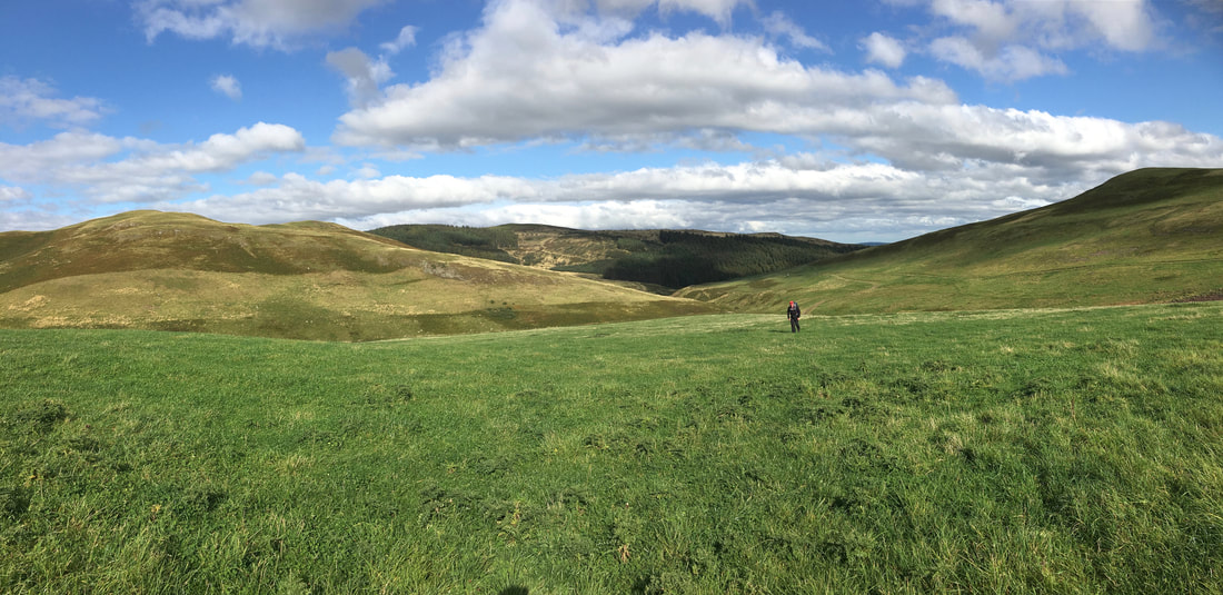
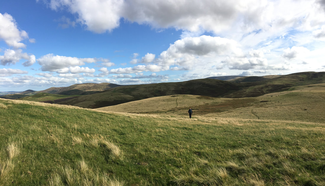
You are highly unlikely to see anybody else up here - we never have.
You are highly unlikely to see anybody else up here - we never have.
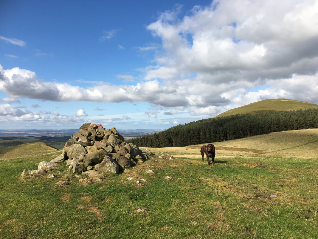
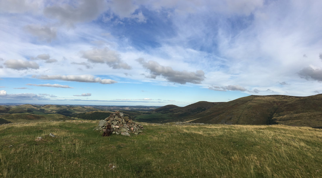
The summit of Eccles Cairn with Coldsmouth Hill to the rear
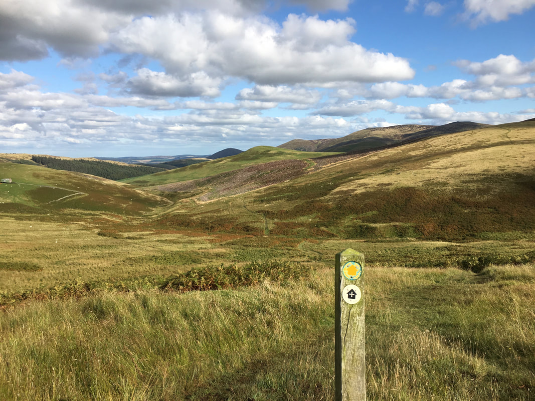
From Eccles Cairn we now headed up to the Stob Stones and the junction with The Pennine Way
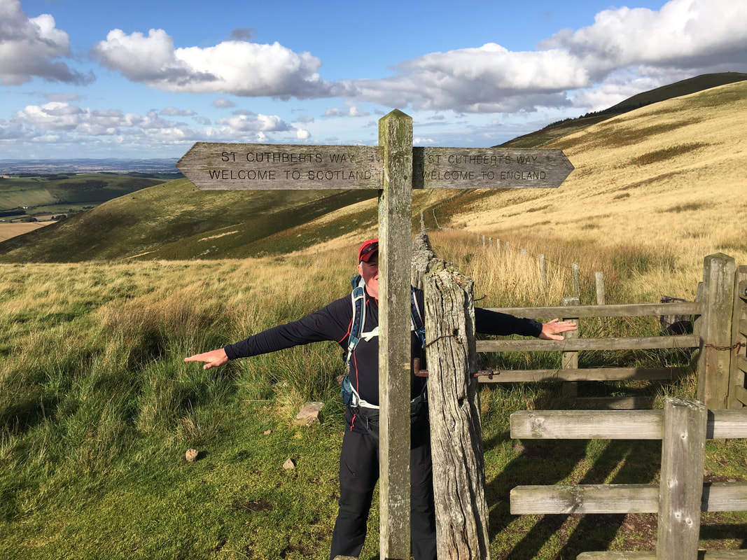
Crossing the border from England into Scotland
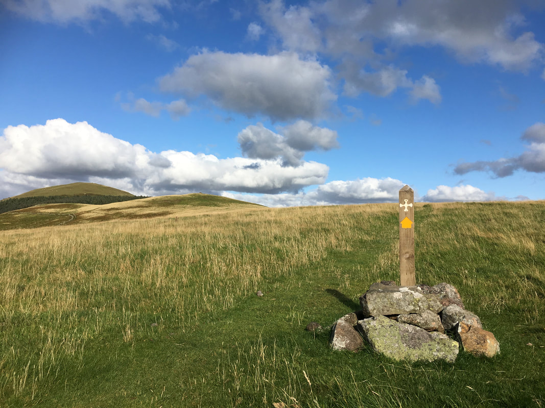
A St Cuthbert's Way marker near the Stob Stones looking back to Coldsmouth Hill & Eccles Cairn
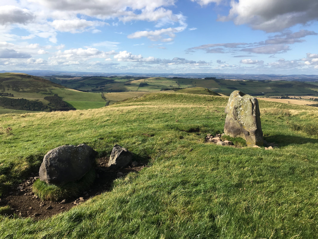
The Stob Stones
They are known locally as the `Gypsy Stobs`, which mark the spot where the gypsy kings and queens were traditionally crowned. The larger of the two stones on the right measures 1.65 metres in height. The true purpose of the stones is unknown, although they may have marked a medieval border line between England and Scotland. Alternatively, they may have had a more mysterious ritualistic purpose.
They are known locally as the `Gypsy Stobs`, which mark the spot where the gypsy kings and queens were traditionally crowned. The larger of the two stones on the right measures 1.65 metres in height. The true purpose of the stones is unknown, although they may have marked a medieval border line between England and Scotland. Alternatively, they may have had a more mysterious ritualistic purpose.
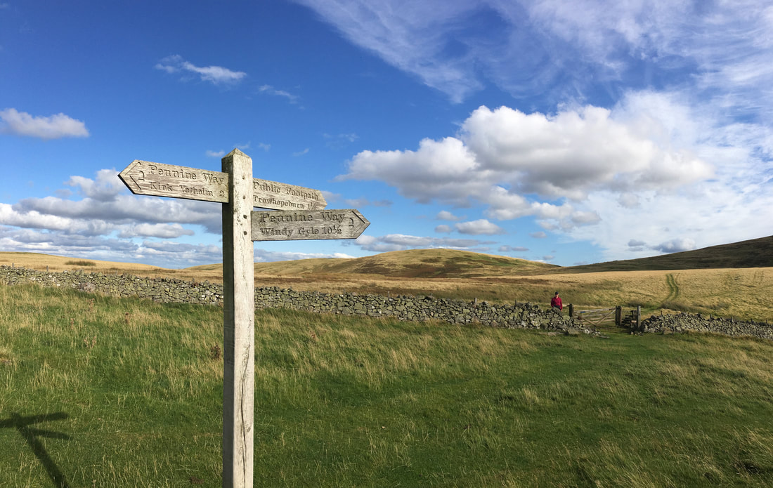
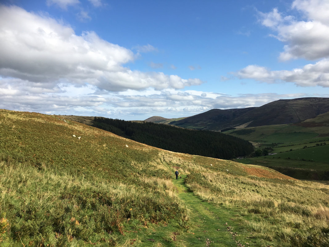
After spending a few yards on The Pennine Way we left it again to head towards the farm at Trowupburn
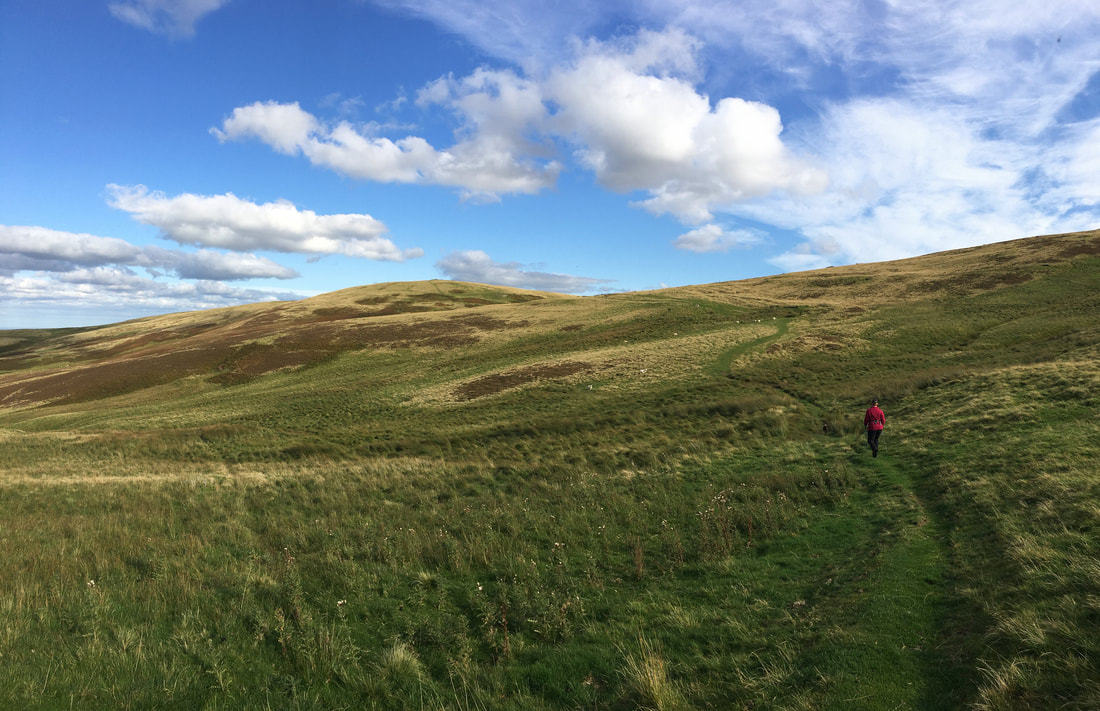
Still nobody here as we head to Trowupburn
The route skirts along the lower southern flank of Madam Law at Wideopen Head
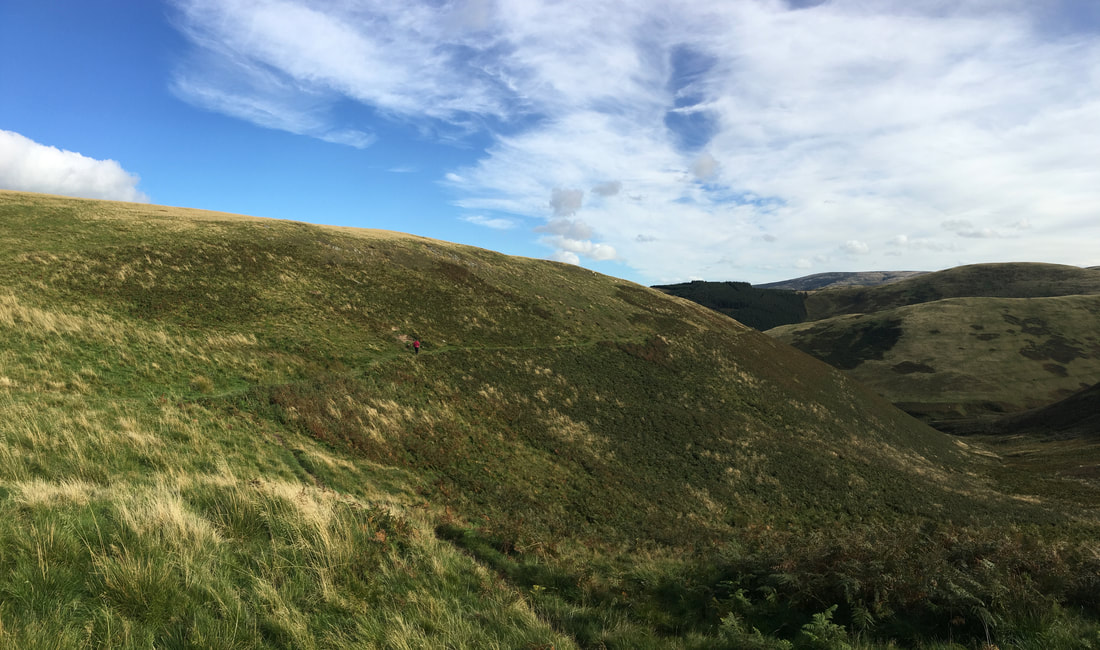
Approaching Trowupburn, Great Hetha comes into view
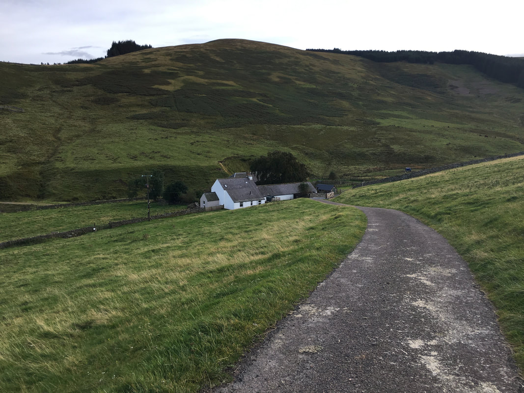
The farm buildings at Trowupburn
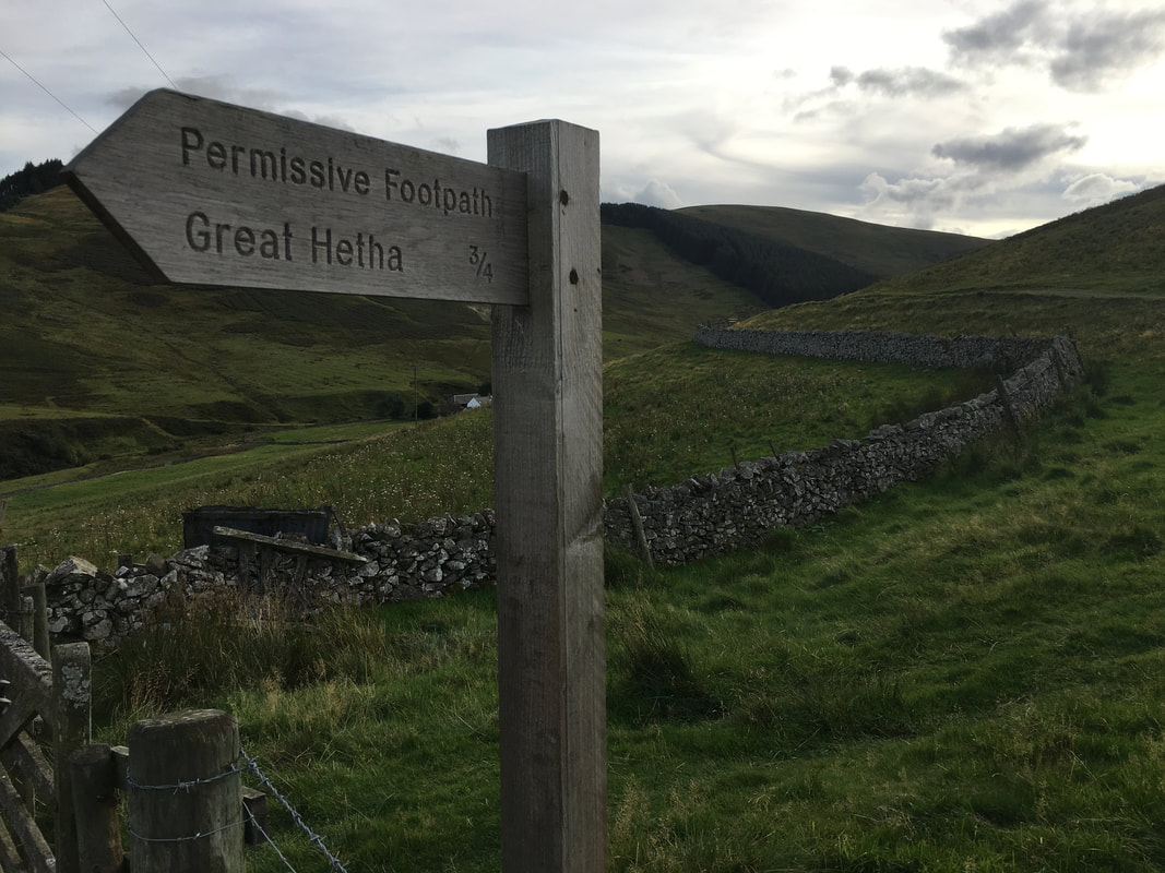
At Trowupburn a footpath leads to Great Hetha
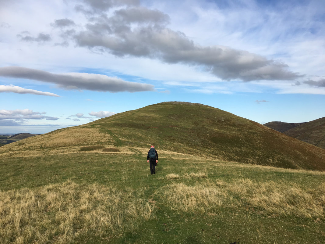
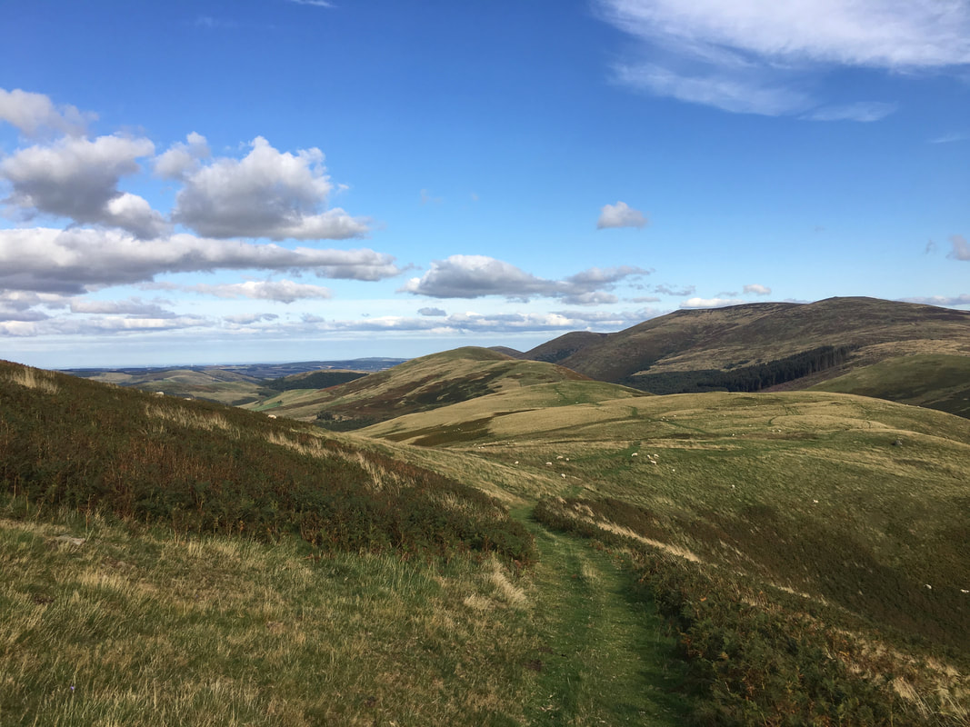
Approaching the hill fort of Great Hetha
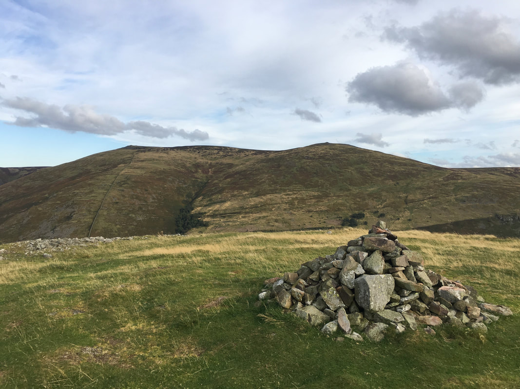
The summit of Great Hetha looking to Wester Tor & Hare Law
Great Hetha's summit looking to Yeavering Bell, Easter Tor & Wester Tor