Win Hill, Ladybower & Hope Cross - Monday 19 March 2018
Route
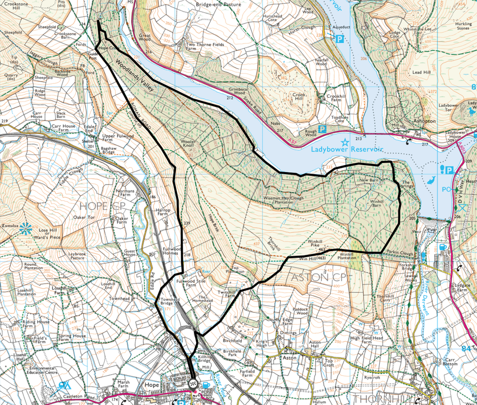
Hope - Twitchill Farm - Win Hill - Ladybower Reservoir - Hope Cross - Fulwood Stile Farm - Hope
Parking
Plenty of roadside parking in Hope.
Mileage
11.3 miles
Terrain
Good paths and tracks throughout.
Weather
Bitterly cold and sunny with excellent visibility
Time Taken
5hrs 30mins
Total Ascent
2555ft (779m)
Map
OL24 - The Peak District (White Peak Area)
Walkers
Dave, Angie & Fudge
|
GPX File
|
| ||
If the above GPX file fails to download or presents itself as an XML file once downloaded then please feel free to contact me and I will send you the GPX file via e-mail.
Route Map
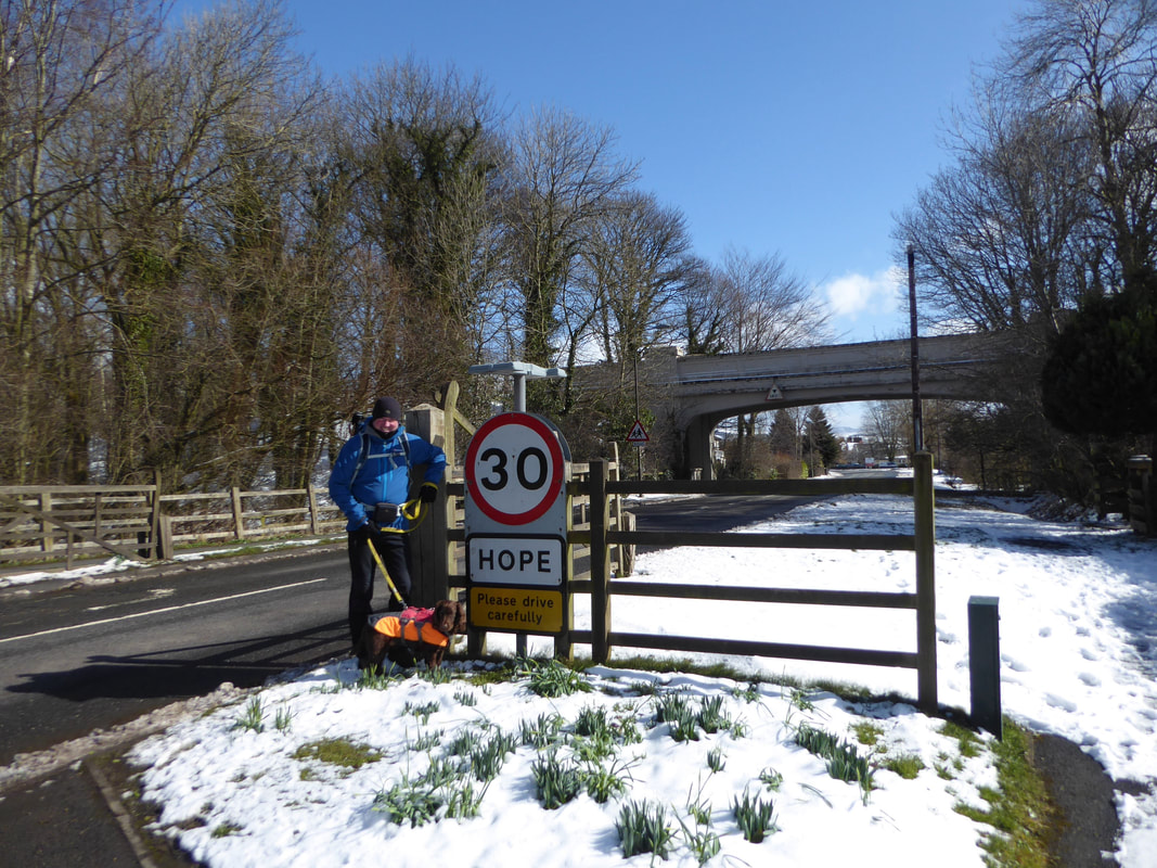
Abandon all hope ye who enter here - no sign of Dante as we enter this lovely village.
We were staying in nearby Castleton just along the road therefore started the walk from there. The past few days had seen lots of snow falling therefore it would be interesting to see what the conditions would be like on today's walk.
We were staying in nearby Castleton just along the road therefore started the walk from there. The past few days had seen lots of snow falling therefore it would be interesting to see what the conditions would be like on today's walk.
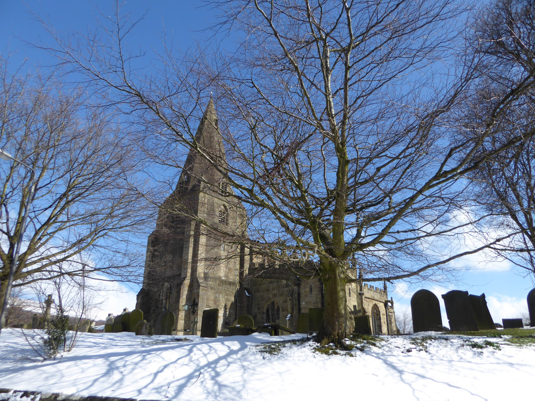
St Peter's Church, Hope
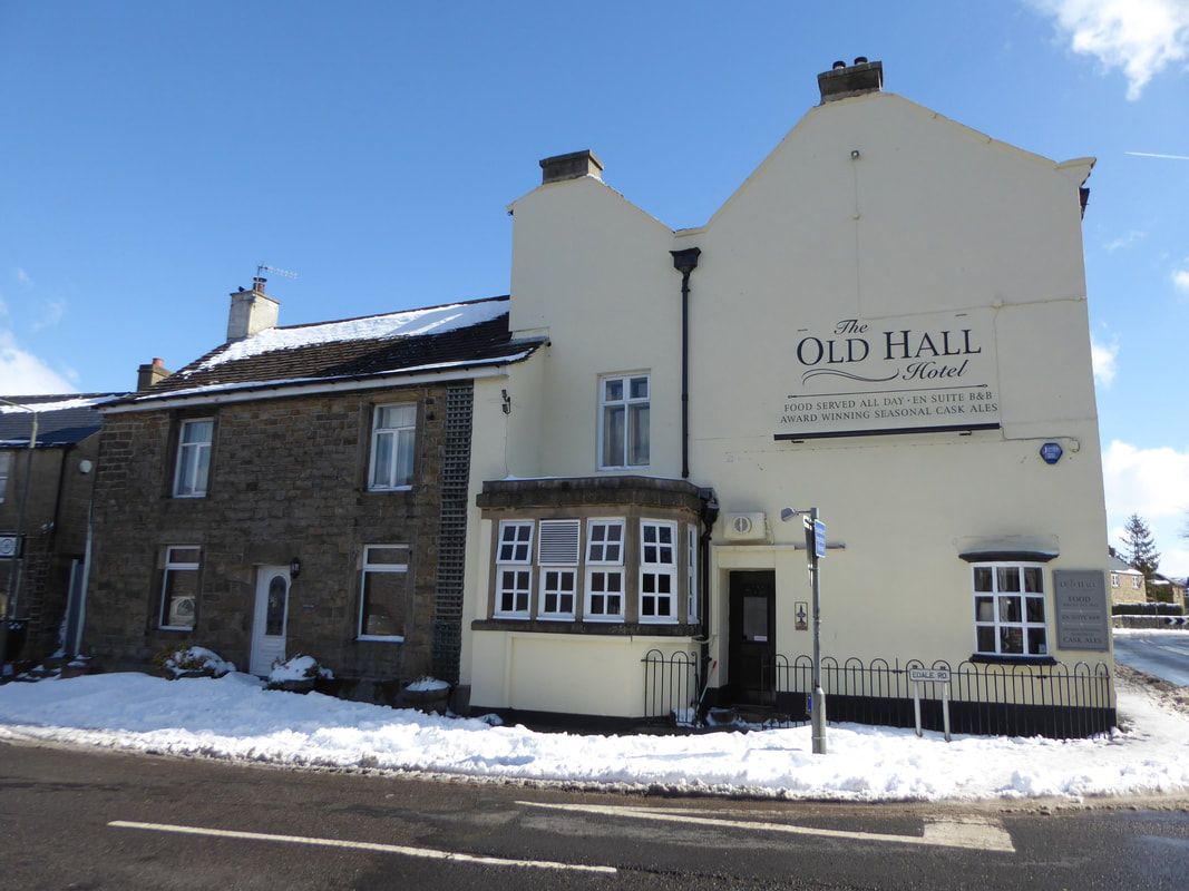
The Old Hall pub in Hope caters for all tastes and is a favourite of ours.
The pub not only serves good food & excellent beer but also has a very fine tea shop bolted on to the side of it.
The pub not only serves good food & excellent beer but also has a very fine tea shop bolted on to the side of it.
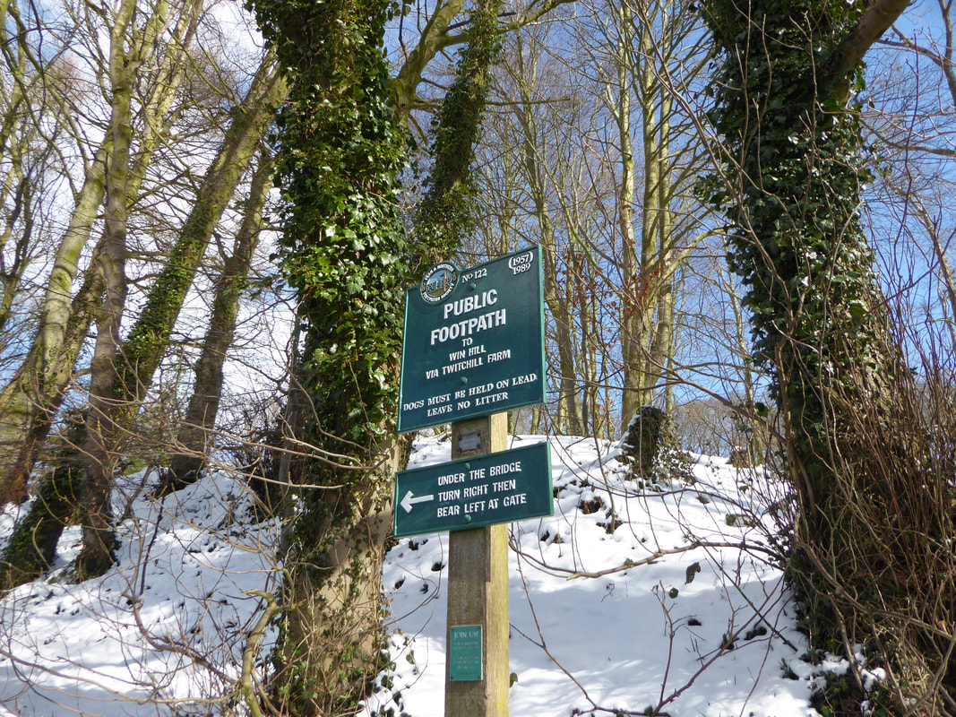
The popular route to Win Hill is well signposted at the start of the walk
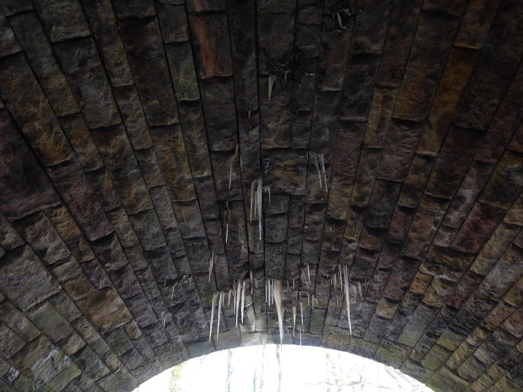
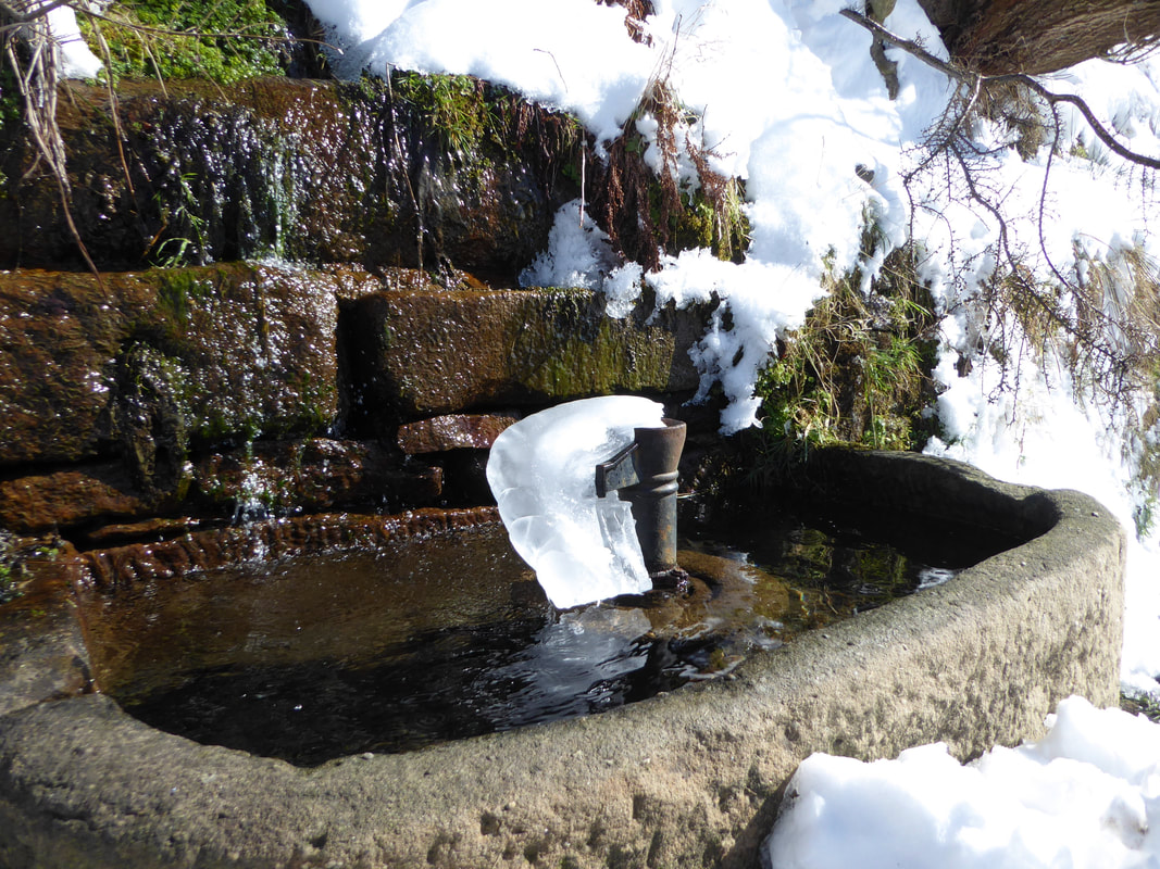
It had clearly been a bit nippy during the night as the resulting stalactites testify
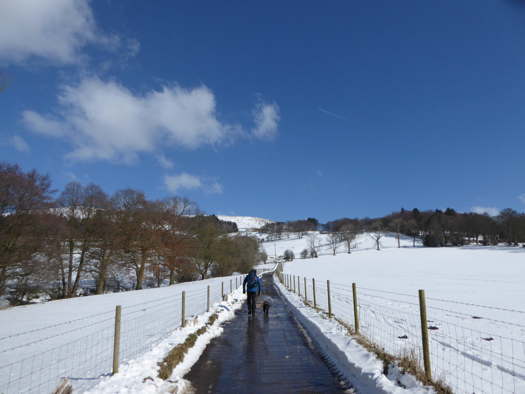
Once through the railway bridge the route heads along the access track towards Twitchill Farm
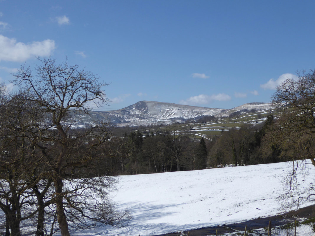
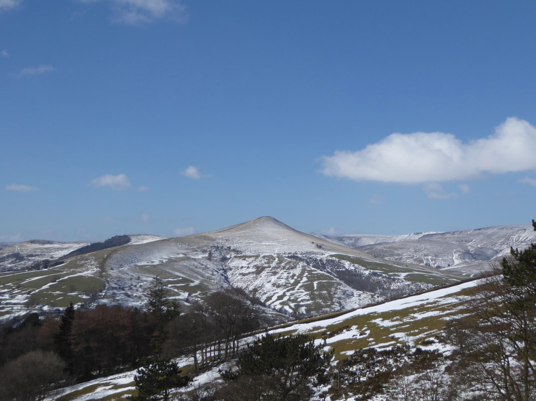
Looking over to Lose Hill from near Twitchill Farm
Mam Tor
Yep - it had certainly been a cold night
Another view of Lose Hill
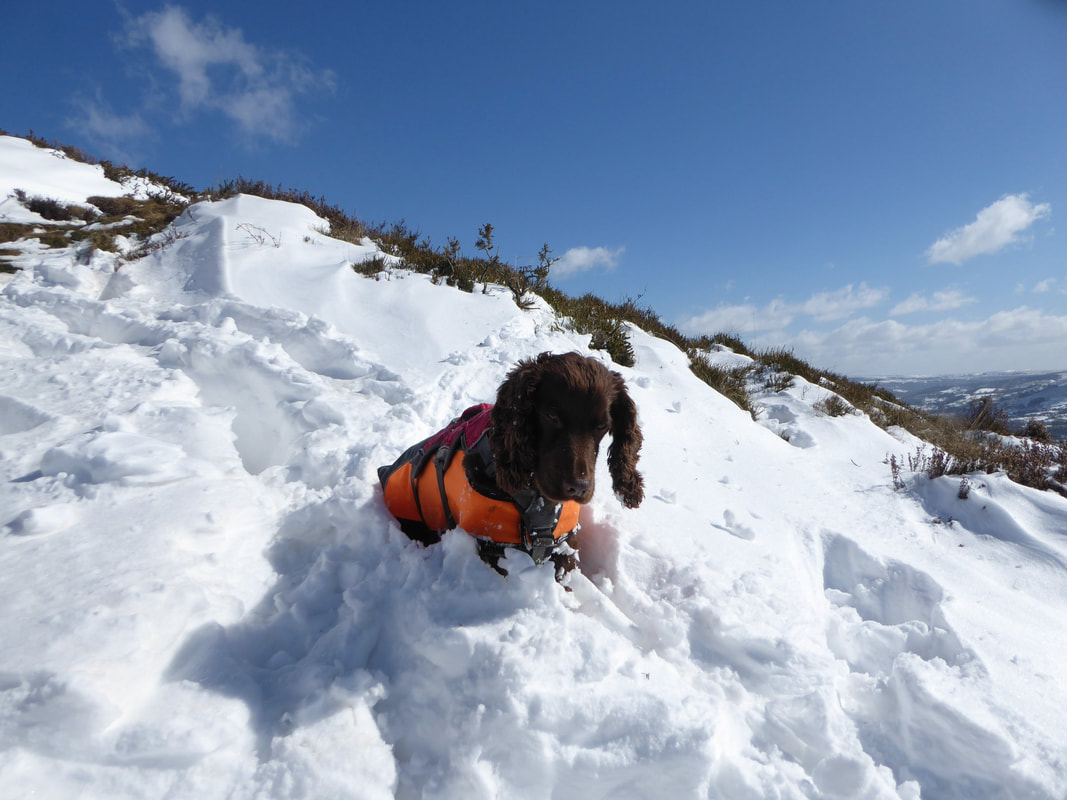
One very happy pooch as there was so much snow for him to mess about in
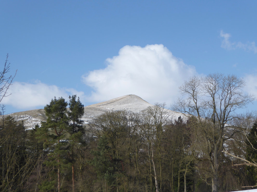
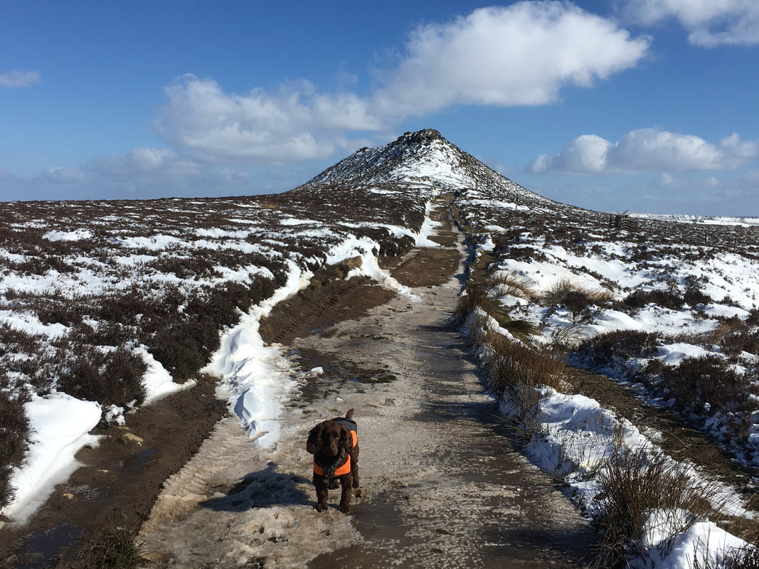
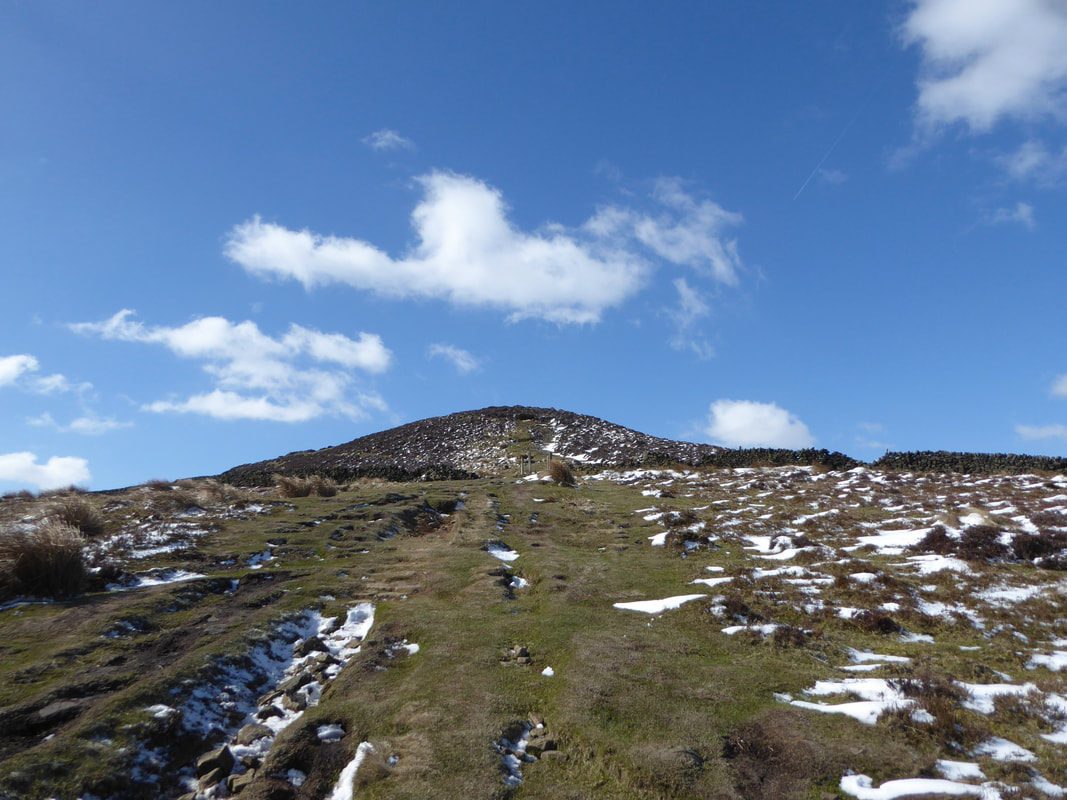
After a steep section we reached the ridge line and turned right to make the final ascent on to Win Hill which can be seen ahead
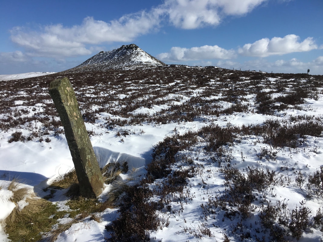
I wandered off path slightly to an old boundary stone before rejoining Angie & Fudge on our main route
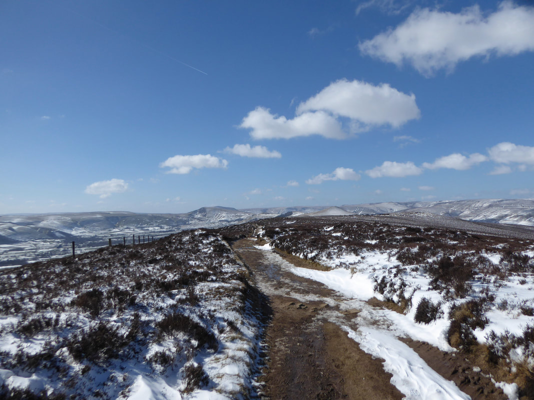
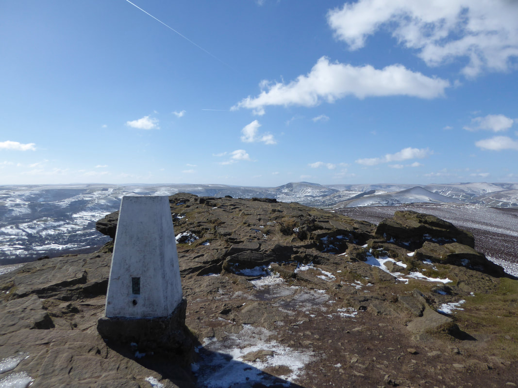
Whilst small in stature, Win Hill offers amazing views back to the Great Ridge & Kinder Scout
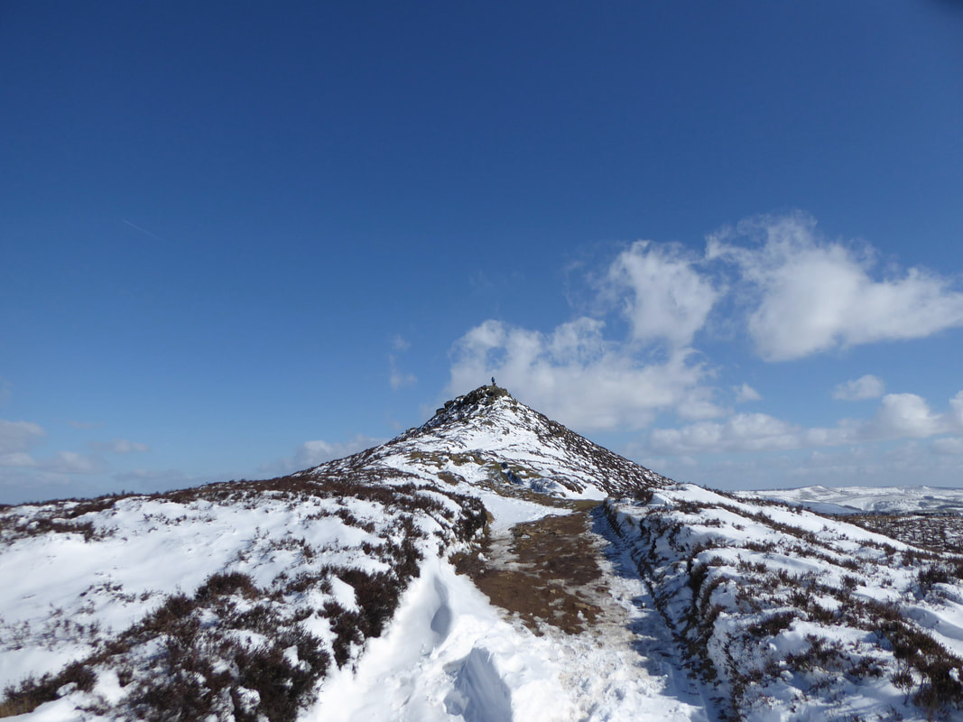
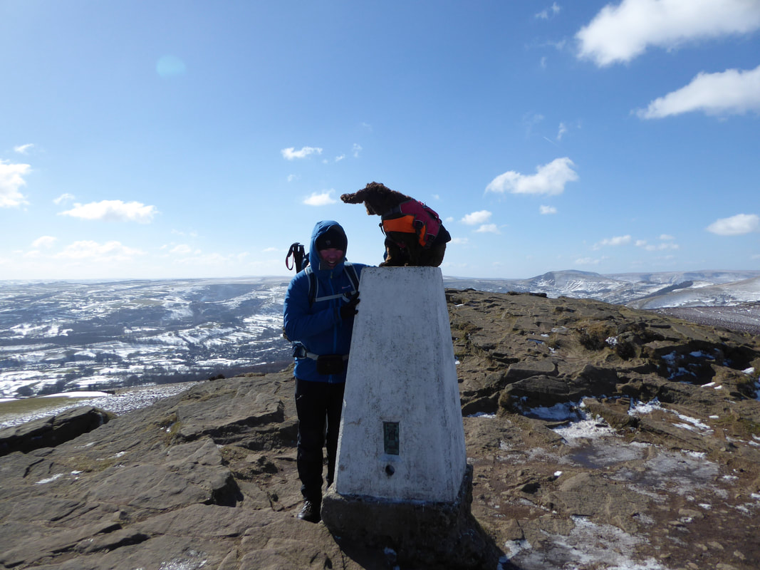
Looking to the summit of Win Hill - I am on the top with Fudge
It was a tad blowy on the summit as Fudge's ear will testify
The summit of Win Hill
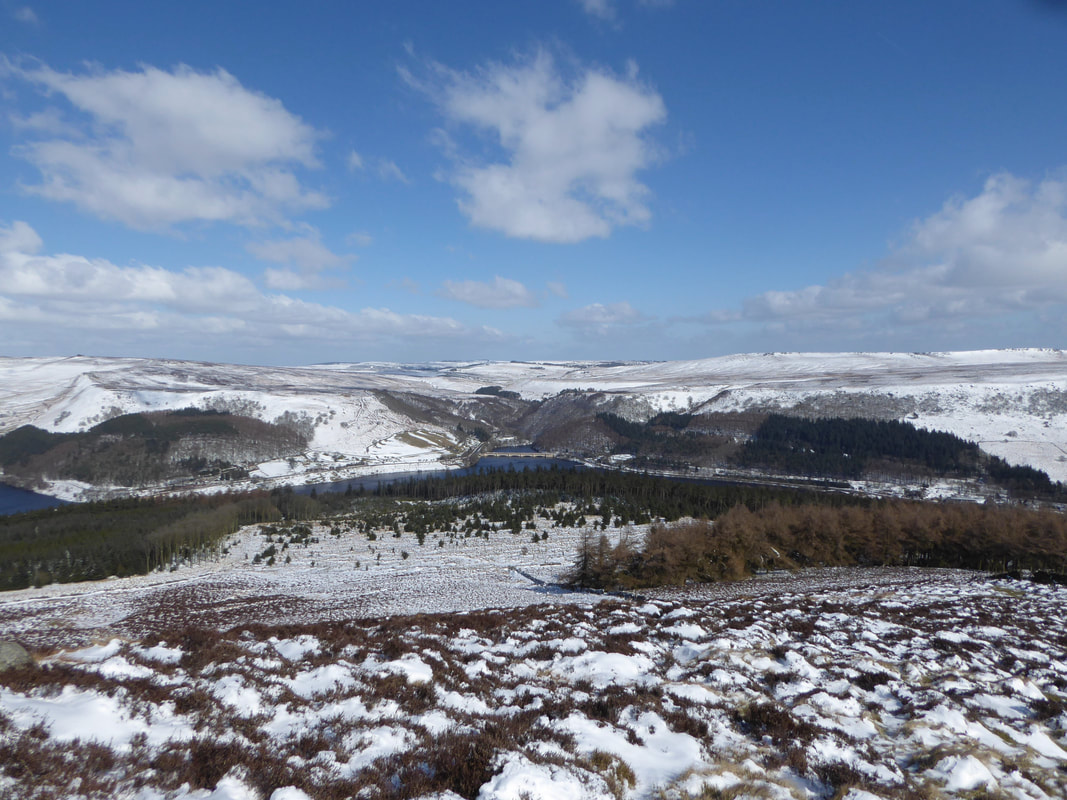
Looking into the Derwent Valley to Ladybower Reservoir and the Ashopton Viaduct
Looking back up to Win Hill from our route of descent to Ladybower Reservoir
We turned left off the main path at Parkin Clough to head gently down to the banks of the reservoir
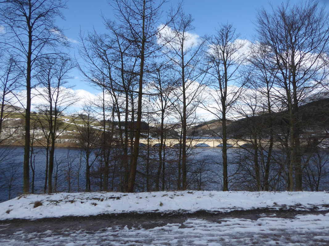
Ashopton Viaduct through the trees.
The viaduct carries the A57 over the reservoir and takes its name from the village that once stood here. Along with the neighbouring village of Derwent, Ashopton was demolished in the early 1940s to make way for the filling in of Ladybower Reservoir.
The viaduct carries the A57 over the reservoir and takes its name from the village that once stood here. Along with the neighbouring village of Derwent, Ashopton was demolished in the early 1940s to make way for the filling in of Ladybower Reservoir.
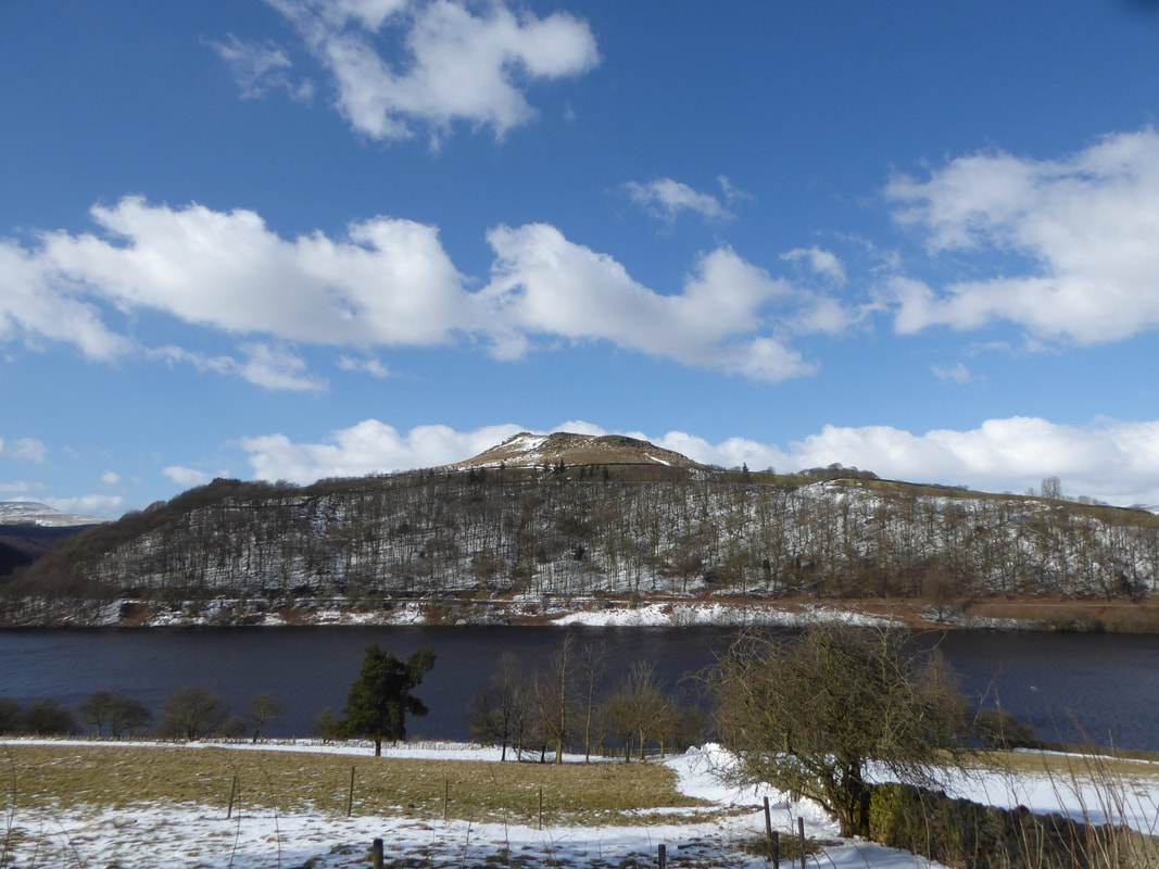
Crook Hill above Ladybower Reservoir
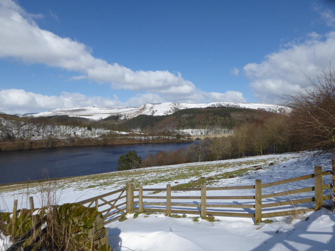
This really was turning out to be a beautiful day as we continued along the southern bank of the reservoir
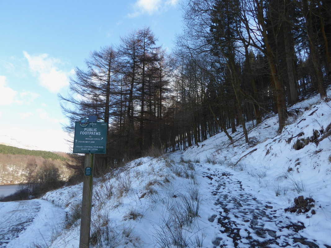
For those that want to, a path can be taken to shorten the walk via Wooler Knoll to head back to Twitchill Farm and rejoin the outward route
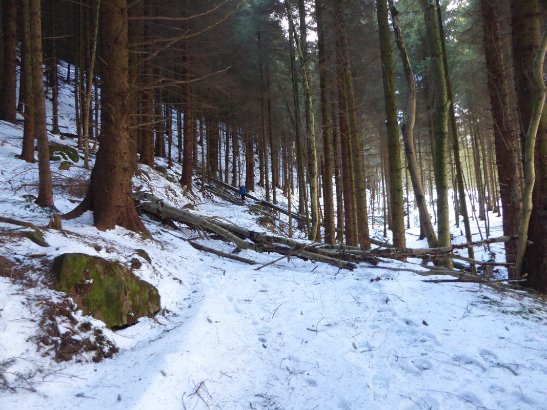
Bit of an assault course over collapsed trees as we head up to Hope Cross via Woodlands Valley
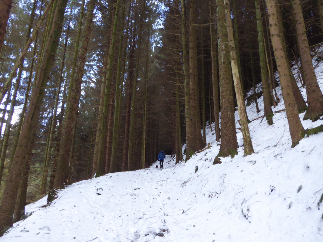
The path to Hope Cross switches back on itself as it nears the top of the tree line
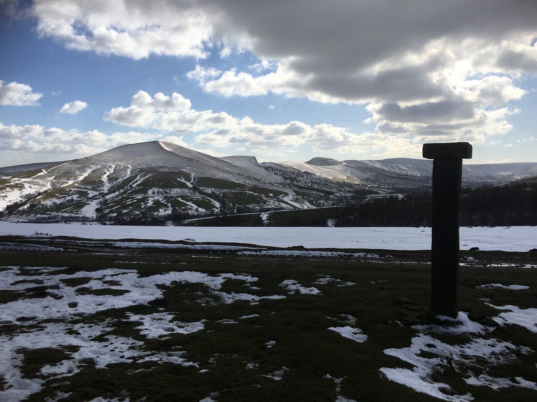
The Great Ridge from Hope Cross
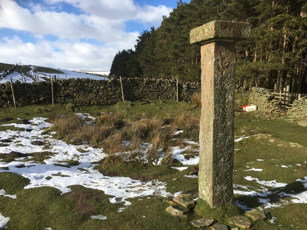
Hope Cross
The cross is located on a Roman Road and former major packhorse route and dates from 1737. It stands 7 feet high and is topped with a capstone bearing the names of Edale, Sheffield (spelt Shefield), Glossop & Hope. It had stood here for many years without suffering any sort of vandalism however in 2011 the capstone was stolen but thankfully was found abandoned near Bradwell in the Hope Valley
The cross is located on a Roman Road and former major packhorse route and dates from 1737. It stands 7 feet high and is topped with a capstone bearing the names of Edale, Sheffield (spelt Shefield), Glossop & Hope. It had stood here for many years without suffering any sort of vandalism however in 2011 the capstone was stolen but thankfully was found abandoned near Bradwell in the Hope Valley
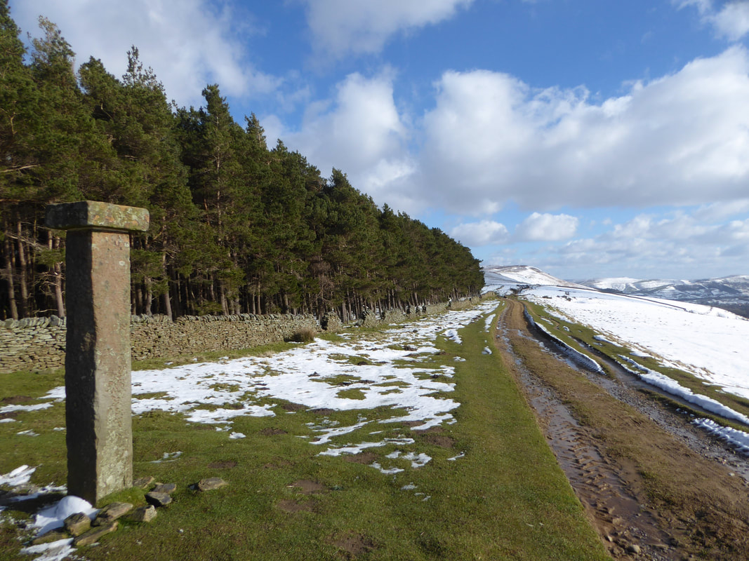
Hope Cross and our onward route back to Hope
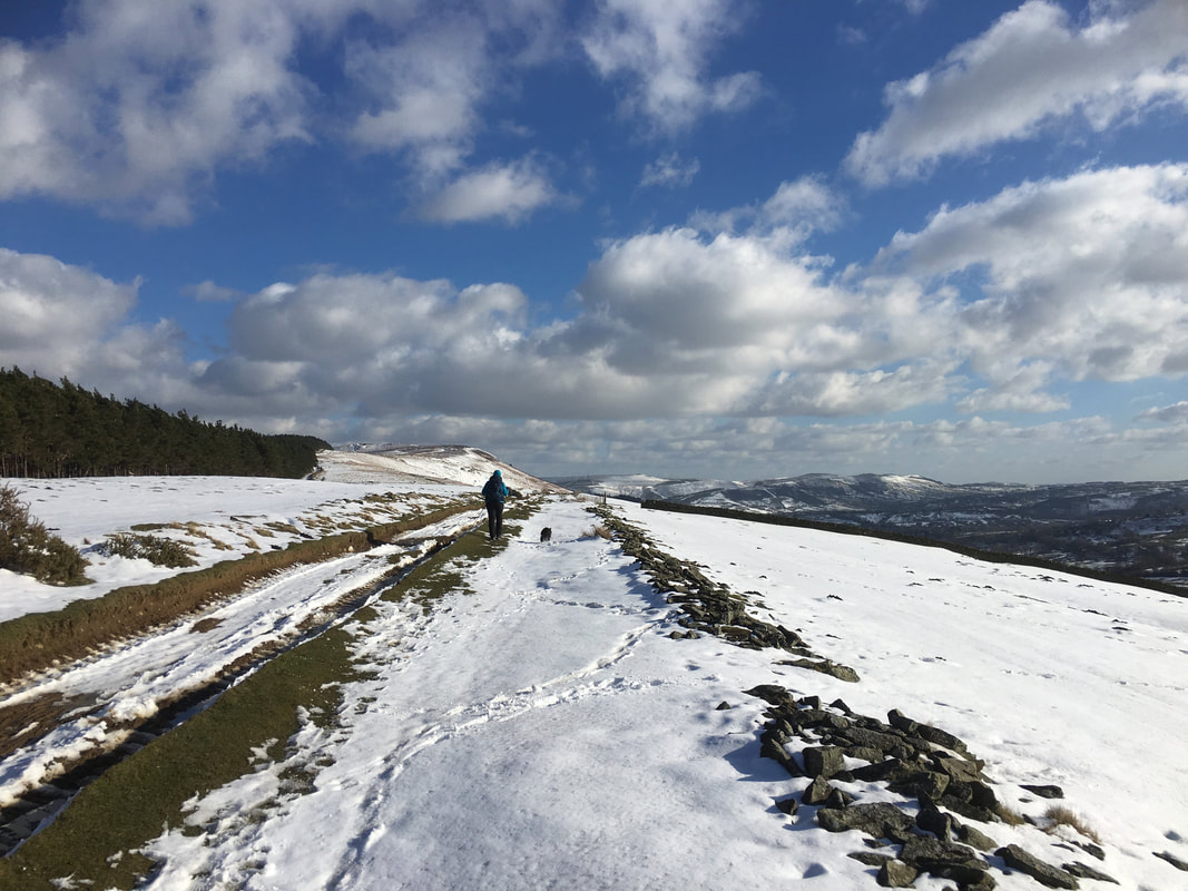
Despite the cold it was still a beautiful day to be out
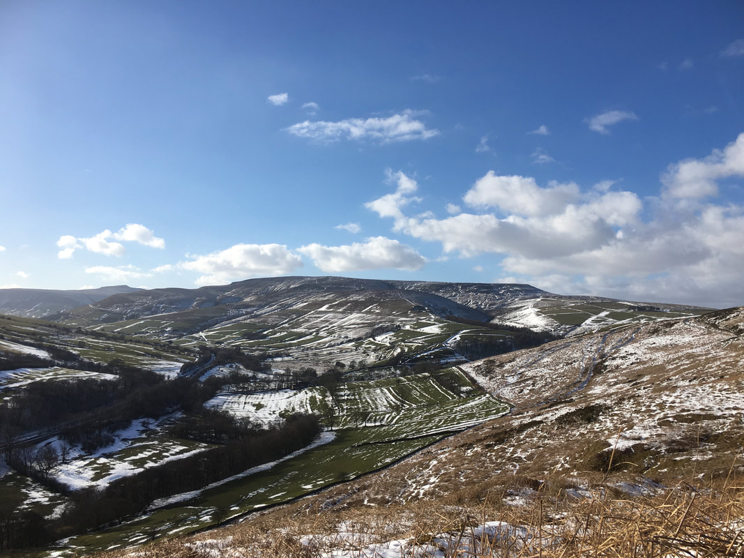
Looking to Kinder Scout from our descent to Hope
