Rhayader, Maen Serth & Gilfach - Monday 19 January 2015
Route
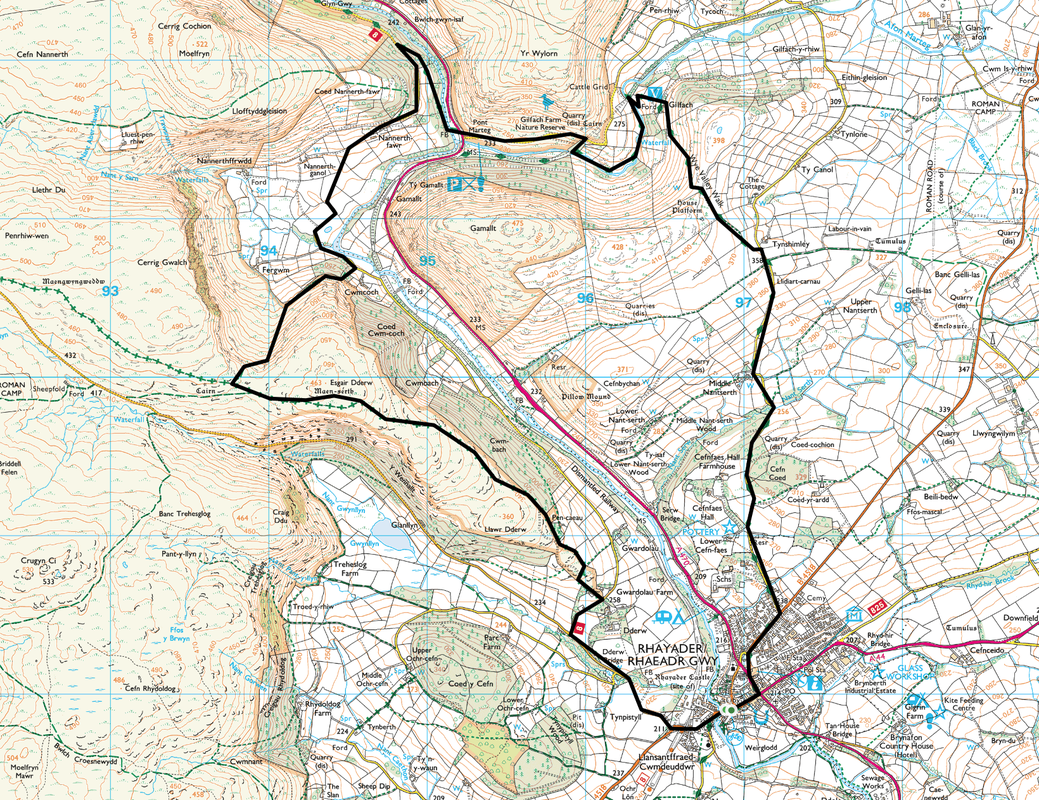
Cwmdauddwr - Esgair Dderw - Nannerth - Gilfach - Tynshimley - Rhayader - Cwmdauddwr
Parking
Cwmdauddwr, Rhayader (Free) - Grid Ref SN966678
Mileage
9 miles
Terrain
Grassy tracks and paths. There is a short road walk at the start plus there is an approximate 2 mile road walk at the end down a very quiet back lane.
Weather
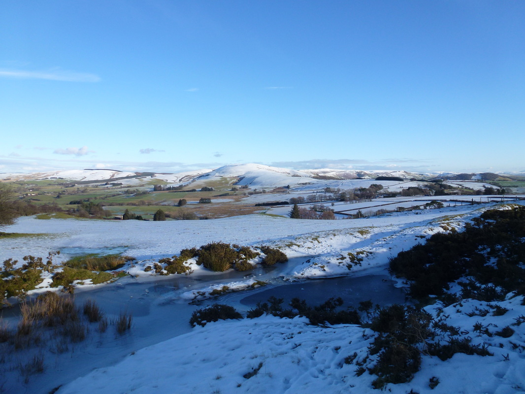
Gloriously sunny however temperature hovered between -1 & -3 but warmed up in the afternoon.
Time Taken
5hrs
Total Ascent
1853ft (565m)
Map
OS200 - Llandrindod Wells & Elan Valley
|
GPX File
|
| ||
If the above GPX file fails to download or presents itself as an XML file once downloaded then please feel free to contact me and I will send you the GPX file via e-mail.
Walk Description
Snow on the high ground but the day promised clear blue skies and a crisp temperature therefore we headed out on the short drive to the small market town of Rhayader (with its 15 pubs!!) to walk some of the lesser-known hills about these parts. Despite living here for a few years now, we had never ventured out this way although we are regular visitors to Elan Valley just a short distance away. This route was featured as part of the "Weatherman Walking" series on BBC - the "Weatherman" in question is Derek Brockway from BBC Wales (short clip here).
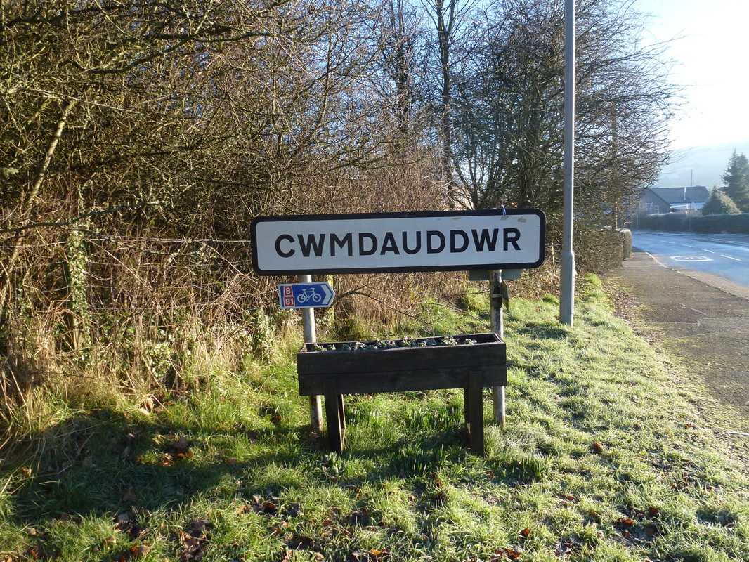
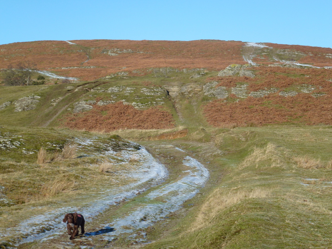
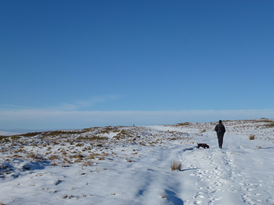
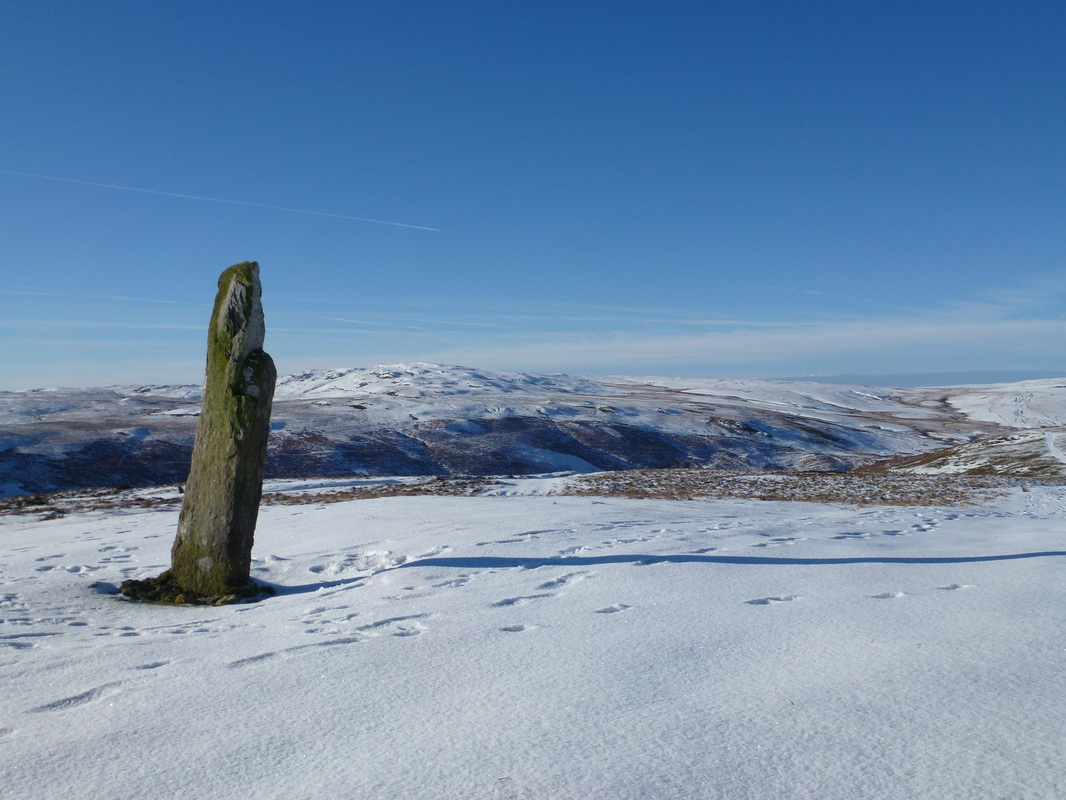
The walk starts at the foot of the Elan Valley Trail at Cwmdauddwr (come-day-there) where there is a small parking area that is never really busy. There is more parking in Rhayader just a short walk away. Leaving the car park we headed up the Aberystwyth Mountain Road, leaving after about 1km to head to Gwardolau Farm where we then entered Cwmdauddwr Common, the site of an old Golf Course. The route then heads gently up to the summit of Esgair Dderw and the 7ft high Bronze Age standing stone of Maen Serth, thought to be an ancient waymark. The views from the summit over to the Cambrian Mountains and the Wye Valley were superb today and we could look back to Gwastedyn Hill sitting high above Rhayader.
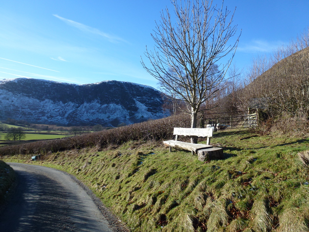
From Maen Serth we dropped down into a col and then headed off the hill down a steady descent between Moelfryn & Gamallt to reach a gate that we originally missed as it was lying on the ground. The route headed left through the gap down a steep incline to the lane where we took a left turn towards Nannerth Farm. Through the farm buildings and reaching a wooden bench there was a Wye Valley Walk sign which led us to the right walking back on ourselves for a while before veering towards the River Wye which we crossed before heading across the A470 to enter Gilfach Nature Reserve.
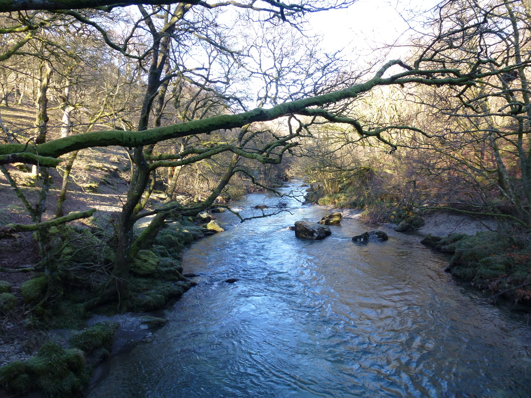
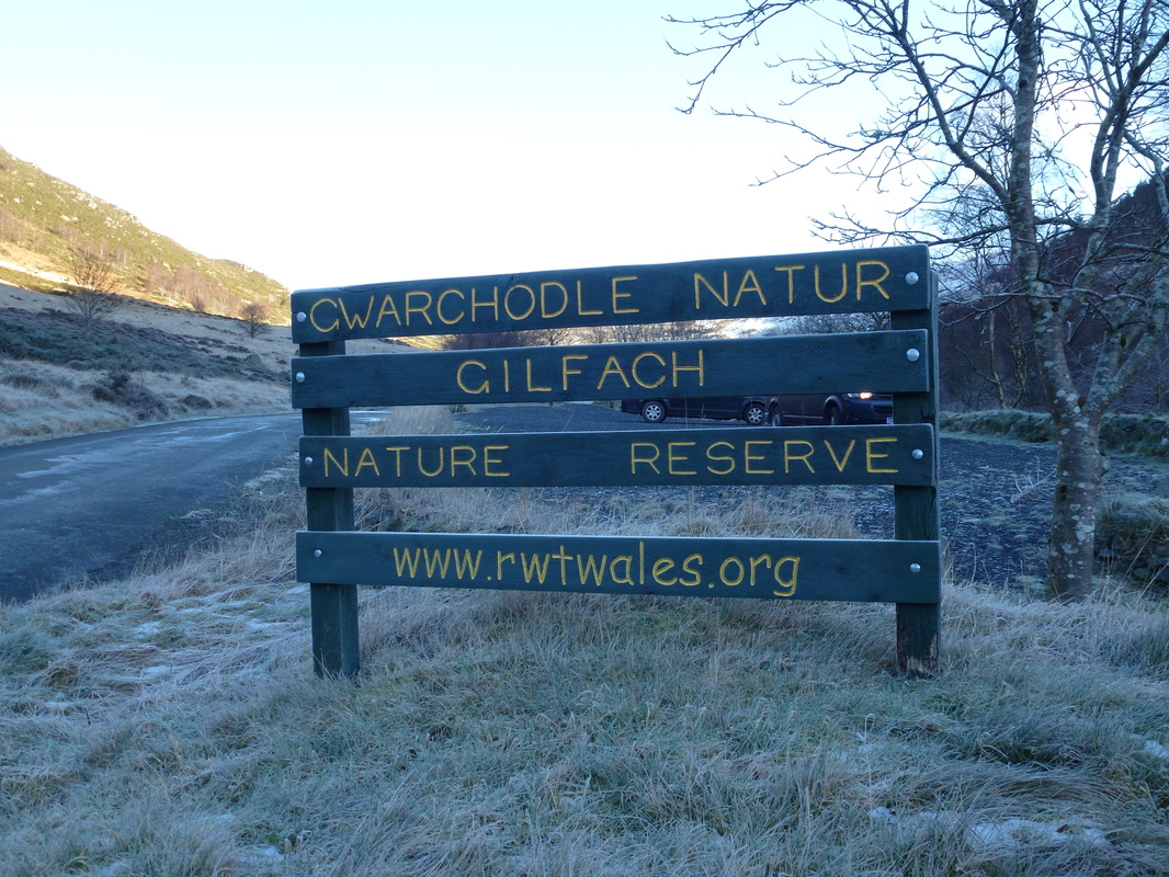
The Gilfach Nature Reserve is some 410 acres and is managed by the Radnorshire Wildlife Trust. Heading along the access road, we soon left this to follow Monks Trod, a route used by Cistercian Monks, probably between the abbeys of Strata Florida & Abbey Cwm Hir. We then enjoyed a delightful amble through the reserve with the Pont Marteg for company before arriving at a waterfall viewing platform to watch the powerful maelstrom of water gushing through the narrow gap. Shortly after we passed an Otter Hide and then arrived at the Visitor's Centre, opposite of which was a beautifully restored Welsh Longhouse. Leaving Gilfach, the route started climbing again to reach the road at Tynshimley where we then had a 2 mile road walk back to Rhayader. Although this is road walking, we encountered no traffic until reaching the outskirts of Rhayader.
The conditions today were glorious. Crisp snow underfoot with beautiful sunshine made for a superb day out and whilst we had to take care on some paths due to icy patches this was still a delightful walk in a beautiful part of Mid Wales.
The walk started from Cwmdauddwr which is just outside Rhayader - this is not a bad Scrabble score apparently.
Over the road from here is the start of the Elan Valley Trail (link)
Over the road from here is the start of the Elan Valley Trail (link)
Once we left the lane at Gwardolau Farm we entered Cwmdauddwr Common - the site of an old golf course
This part of the walk was well waymarked as there are farm tracks going off here, there and everywhere.
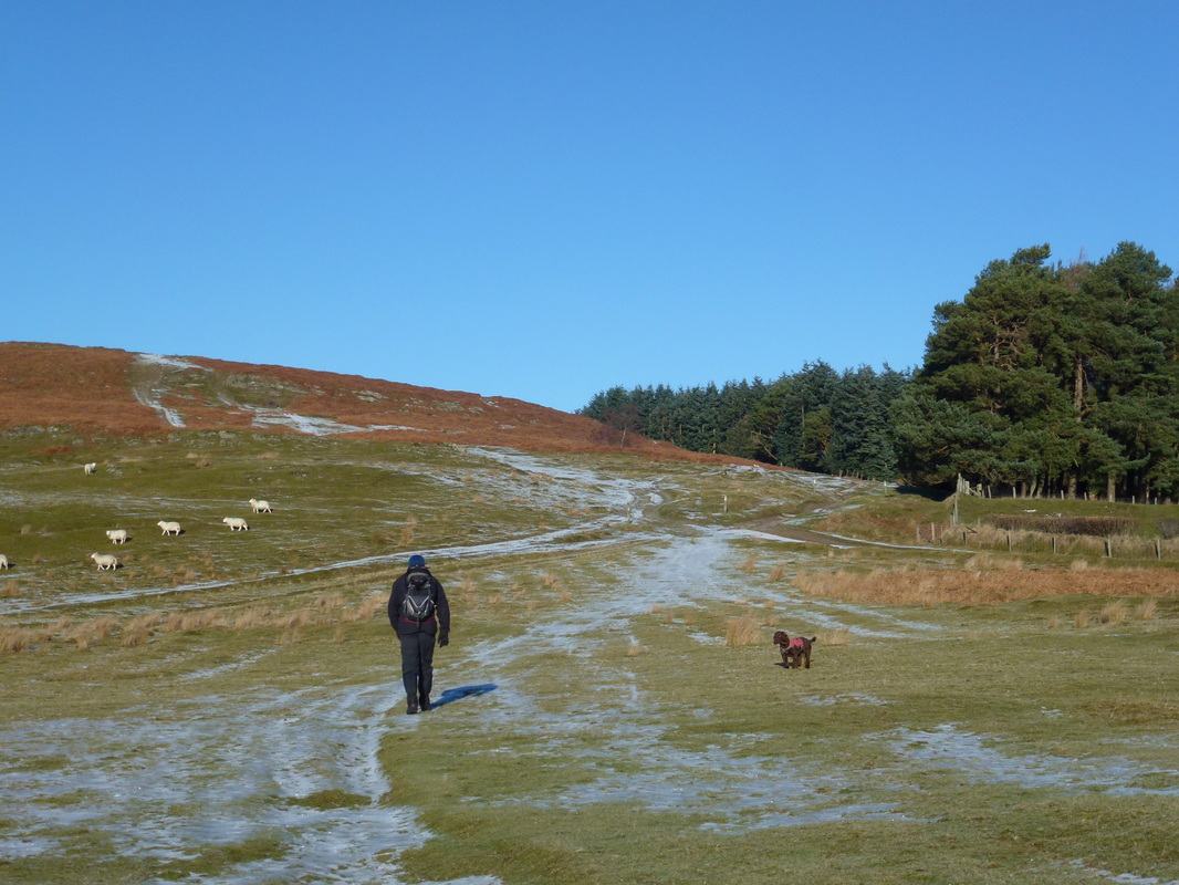
We headed for the plantation ahead then veered to the left
We headed for the plantation ahead then veered to the left
Heading up to the standing stone at Maen Serth on the summit of Esgair Dderw
The view from this modest summit was fantastic.....
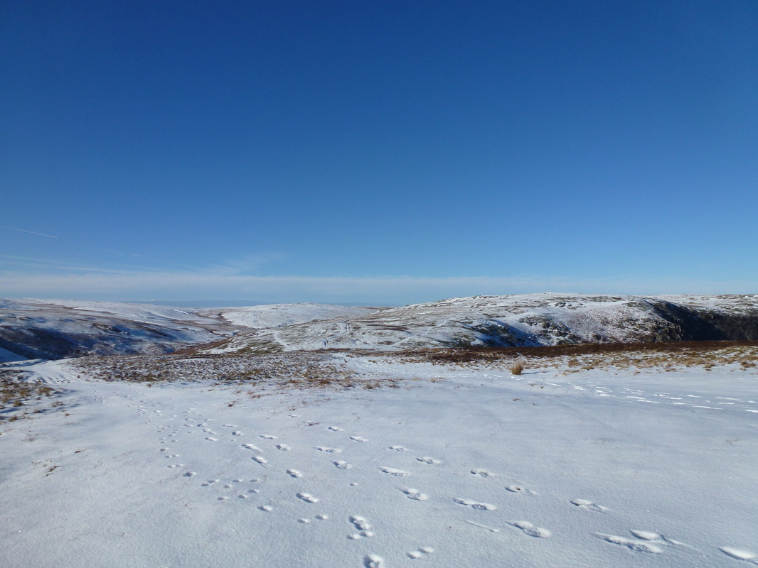
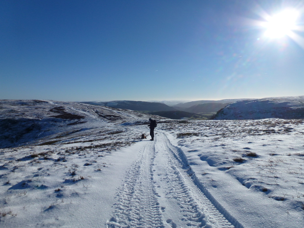
... and just got better & better. The hill to the right is Moelfryn
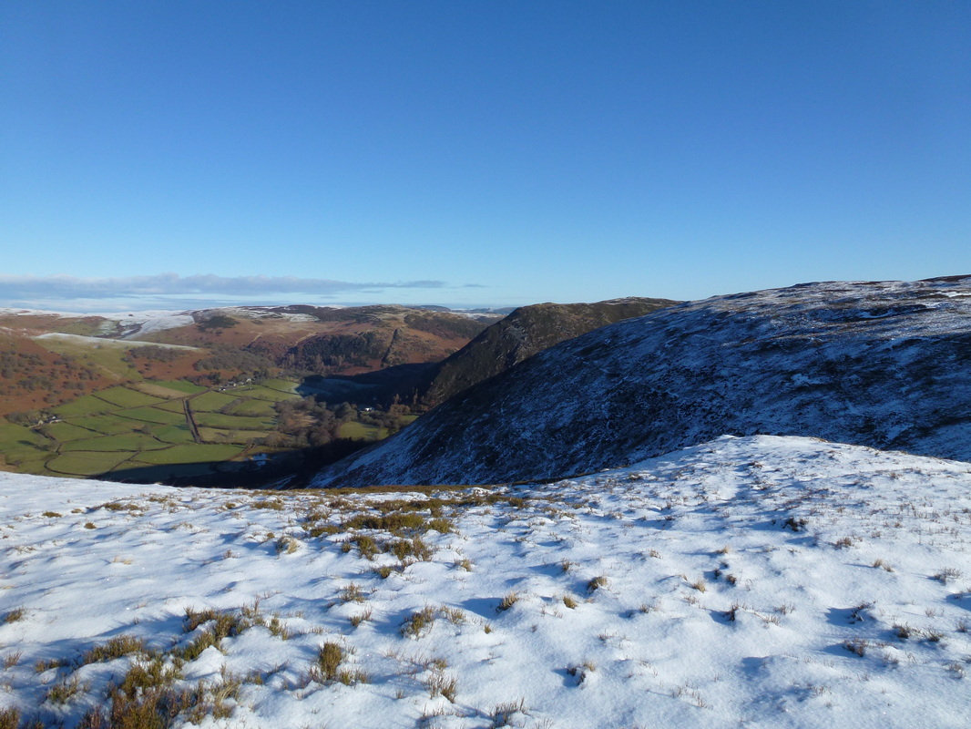
Looking to Gamallt (centre) - our route of descent was down from here and across the lower slopes of the hill in the foreground
Prior to heading down - Gwastedyn is centre, Esgair Dwerw is to the left with Esgair Penygarreg right
A rare picture of Fudge lying down on the job
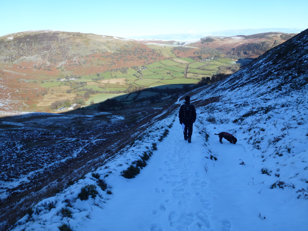
Welcome shade on the way down the snowy path to Cwmcoch - Fudge very much in snow-sniff mode
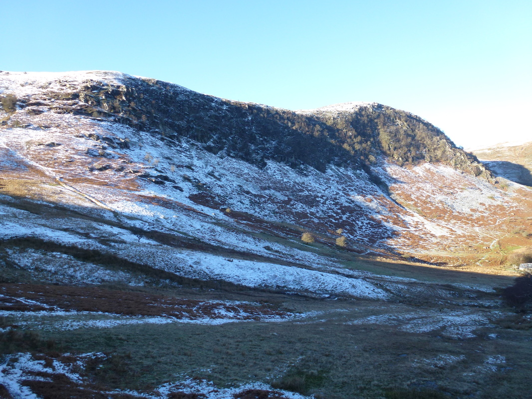
The craggy slope on Cerrig Gwalch
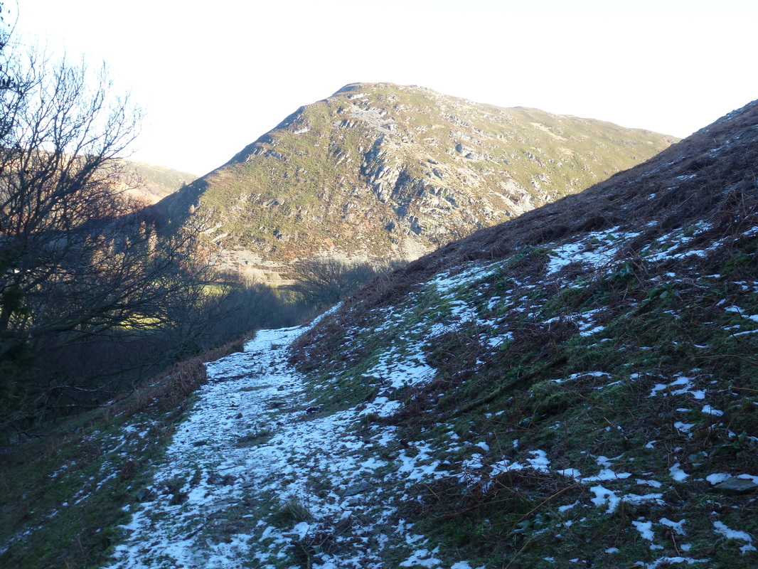
Gamallt
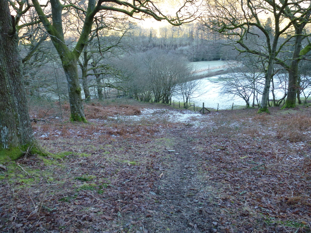
This was a tricky descent through the woods before joining the lane to Nannerth
Our lunch stop at Nannerth
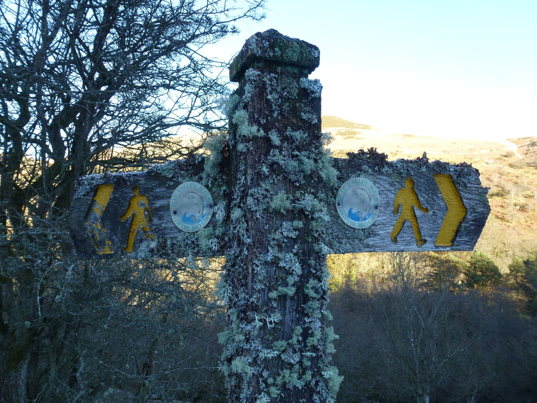
Lovely old sign just past Nannerth - we headed right on the Wye Valley Walk
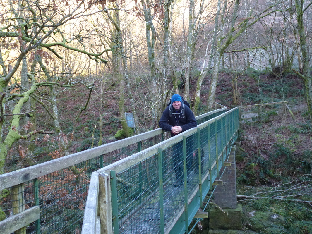
Crossing the Wye near the A470
The River Wye
After crossing the A470 we entered Gilfach Nature Reserve
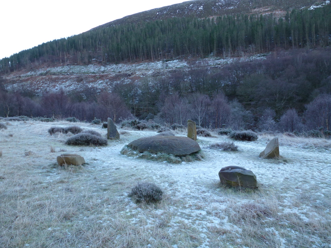
Stone carvings at Gilfach
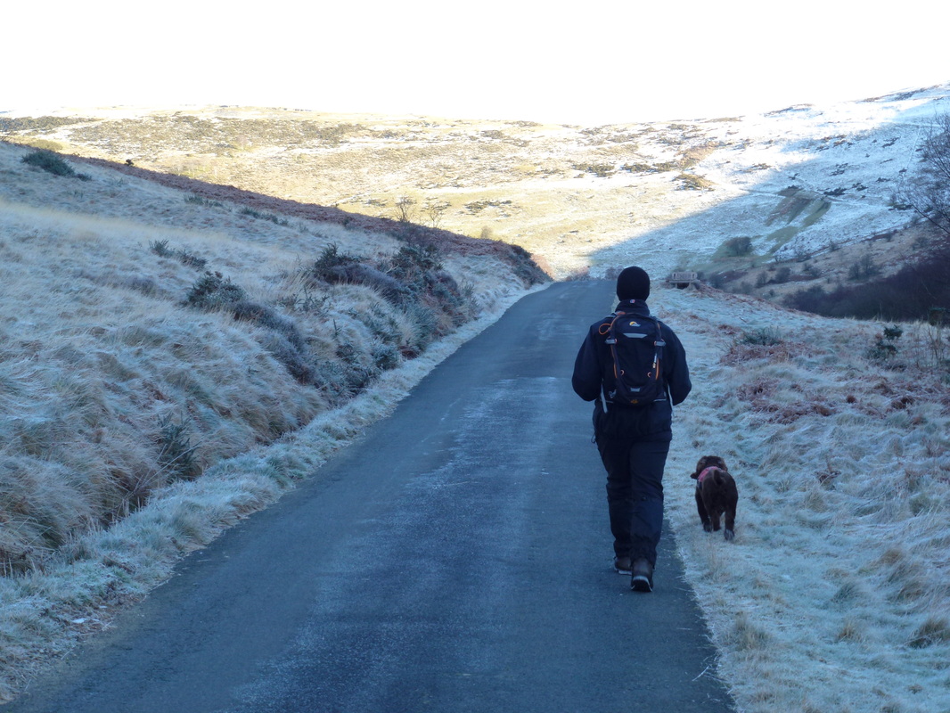
The access road to Gilfach Nature Reserve - the path leaves to the right a bit further up
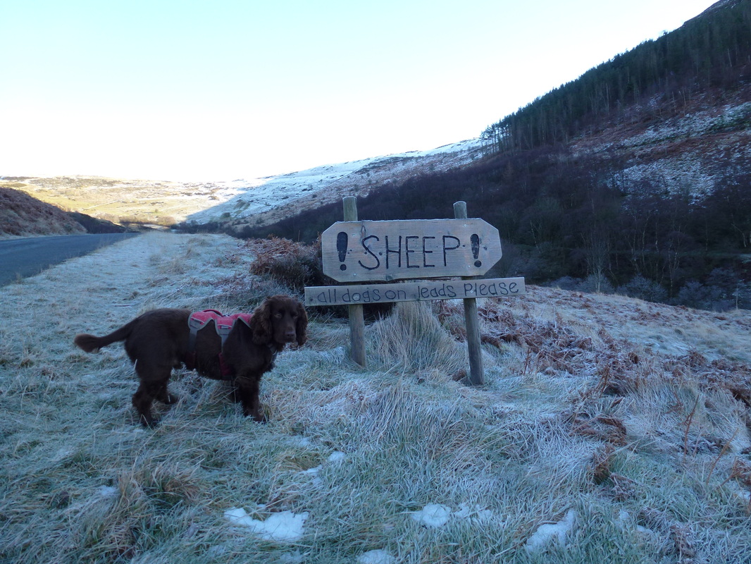
There were none here - thankfully Fudge has great recall and is luckily not in the slightest bit interested in sheep
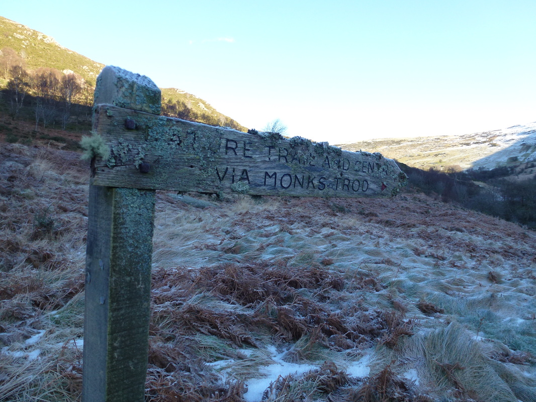
The sign to the path leaving the access road on Monks Trod
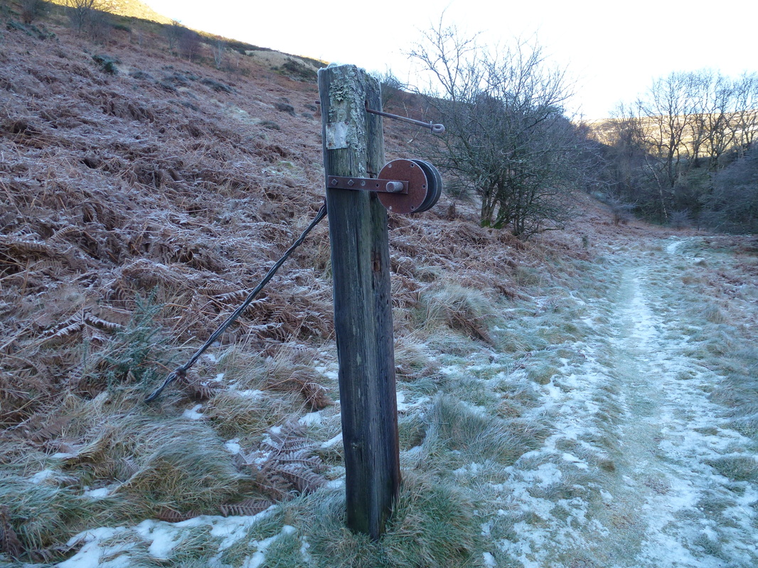
We wondered what on earth this was at first - apparently it is an old railway winching post
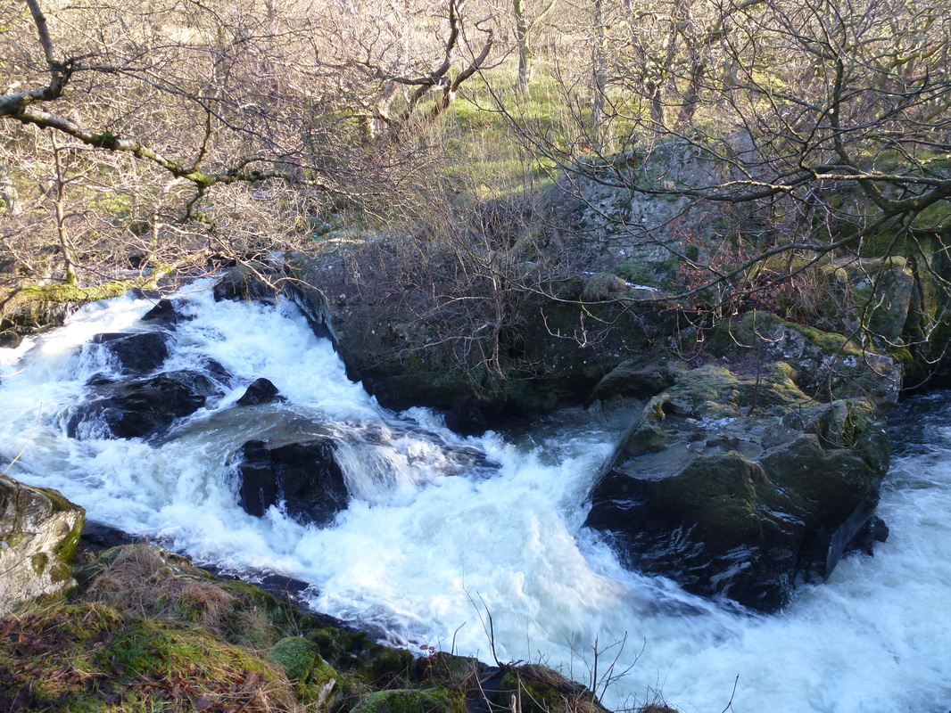
The water was really rushing through here - luckily we were behind a viewing platform
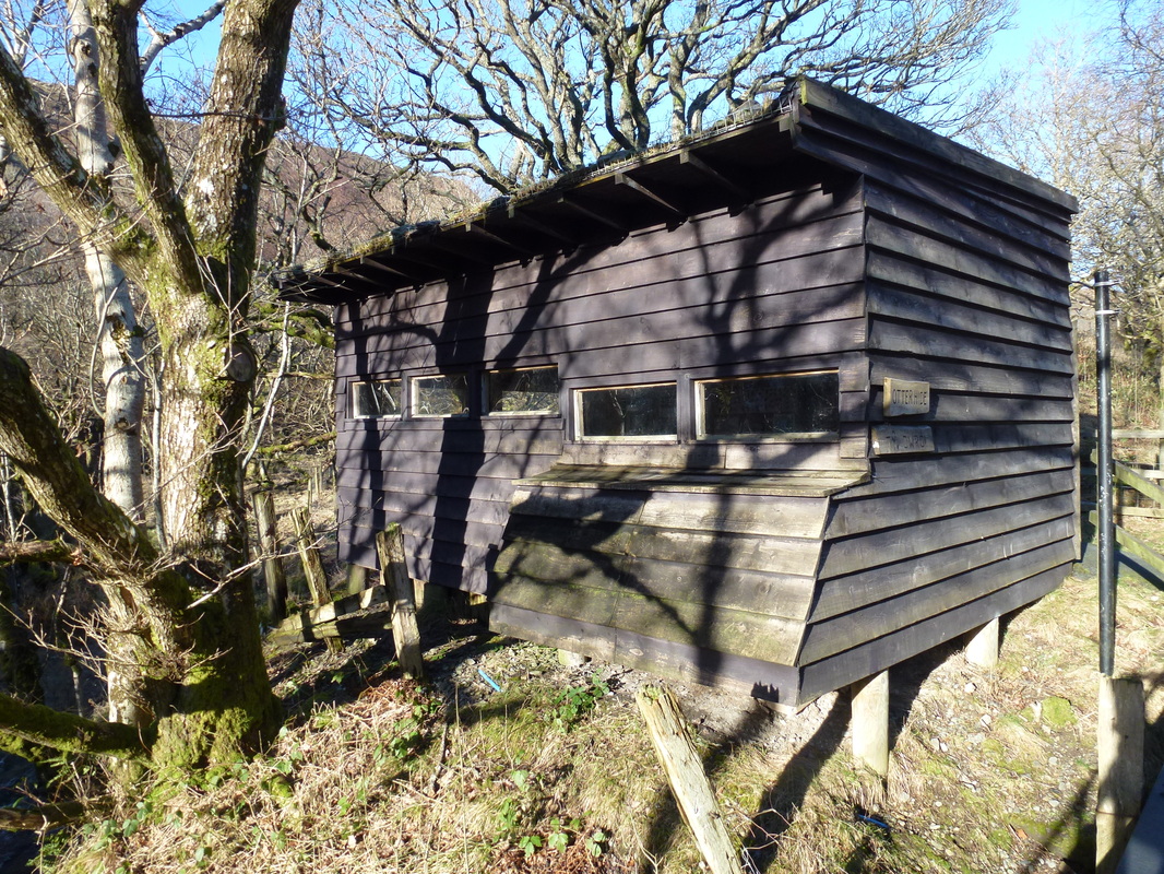
Just before the Nature Reserve Visitor Centre we reached this Otter Hide - we had a look inside but there were no Otters hiding in there
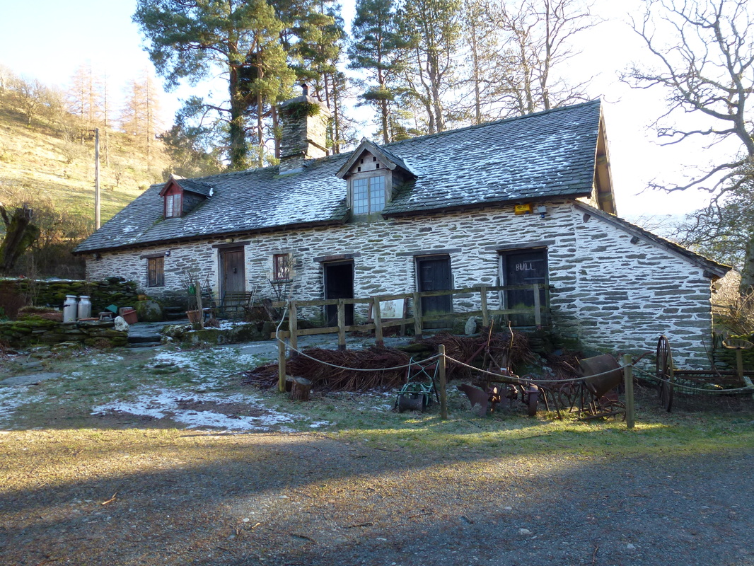
A beautifully restored Welsh Longhouse at Gilfach
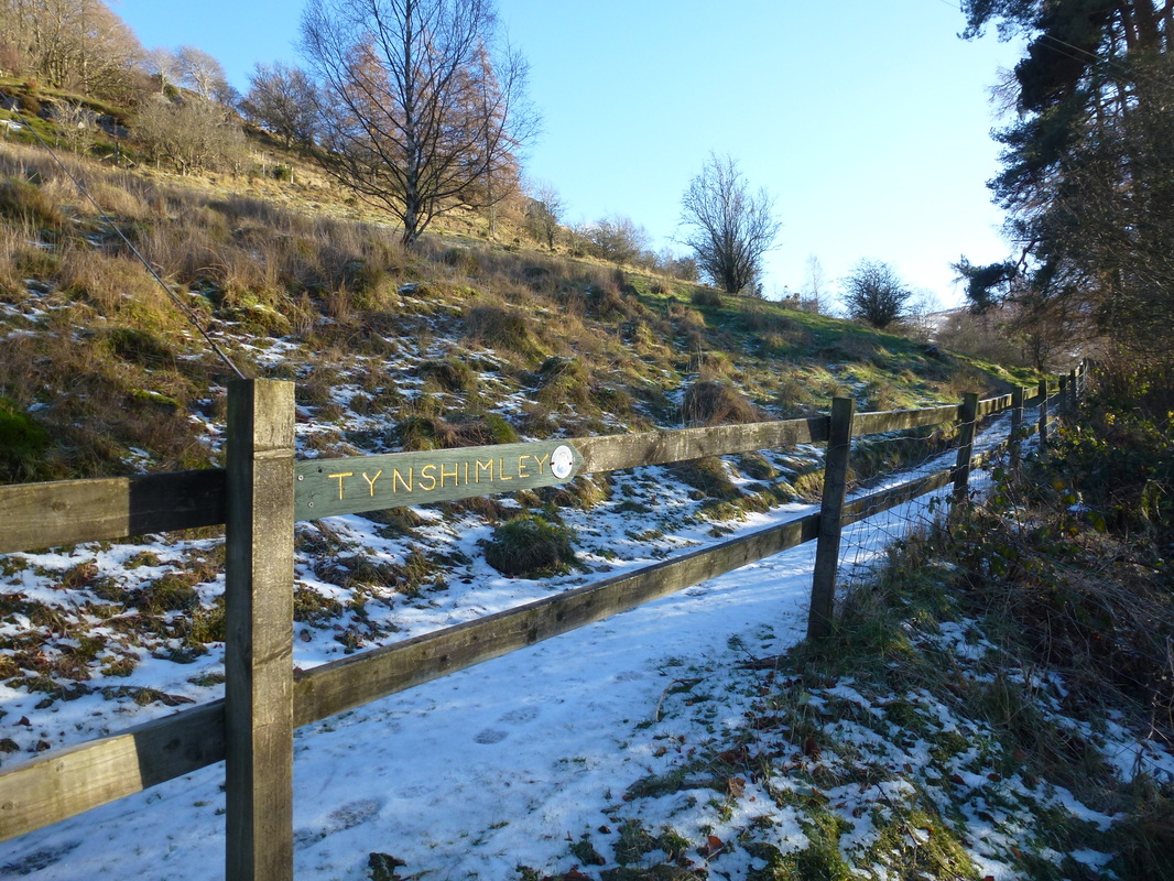
Leaving Gilfach the path heads up this slope to the farm at Tynshimley
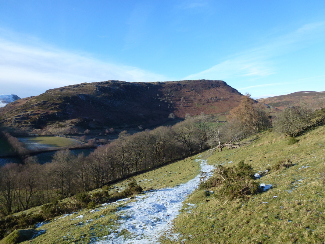
Looking back down the slope to Gilfach with Yr Wylorn providing the backdrop
Looking over to Moel Hywel
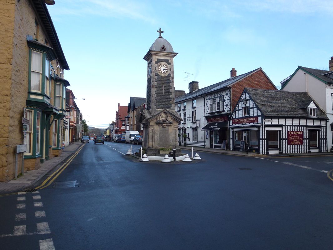
The Clock Tower in Rhayader
