High Street, Thornthwaite Crag, Mardale Ill Bell & Harter Fell - Wednesday 2 January 2019
Route
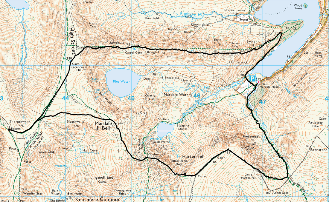
Mardale Head - The Rigg - Swine Crag - Heron Crag - Eagle Crag - Rough Crag - Caspel Gate - Long Stile - High Street - Thornthwaite Crag - Mardale Ill Bell - Nan Bield Pass - Harter Fell - Gatesgarth Pass - Mardale Head
Parking
Mardale Head (Free) - Grid Ref NY 469 310. The nearest Postcode is CA10 2RP.
Mileage
9 miles
Terrain
Good mountain paths throughout. There is nothing technical to be found on this walk.
Weather
Bitterly cold and overcast for the majority of the day. The visibility was very good.
Time Taken
7hrs 25mins
Total Ascent
2677ft (816m)
Wainwrights
4
Map
OL5 - The English Lakes - North Eastern Area
Walkers
Dave, Angie & Fudge with Deborah & Colin Howard, Dave Clee & Angela Norton with special guests Cornelius & Phineas
|
GPX File
|
| ||
If the above GPX file fails to download or presents itself as an XML file once downloaded then please feel free to contact me and I will send you the GPX file via e-mail.
Walk Description
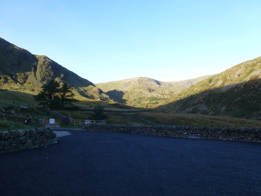
The Car Park at Mardale Head, the start of todays walk. In peak periods this parking area can get very busy therefore the earlier you start the better.
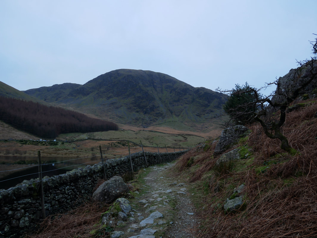
The Mardale Head Car Park from the path to The Rigg. Harter Fell provides the fantastic backdrop.
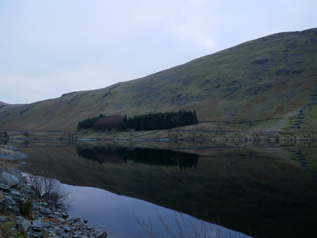
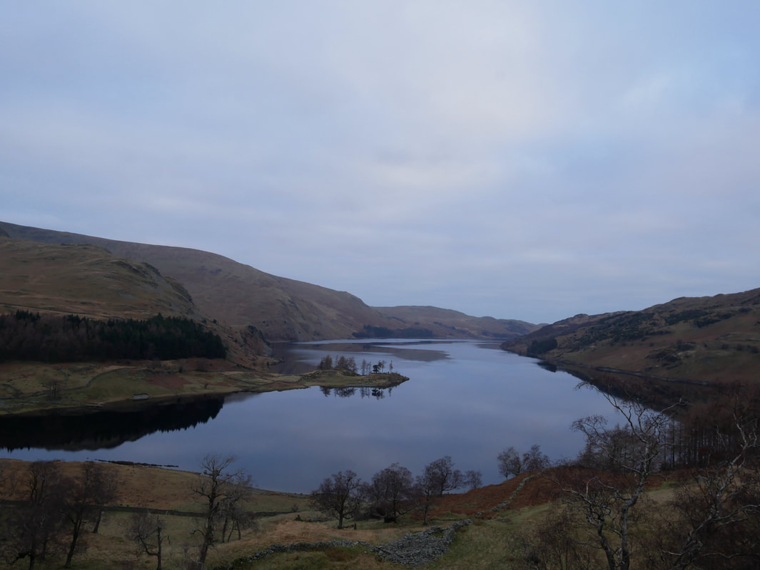
Haweswater was as flat as a millpond as we headed towards The Rigg. The reservoir is 4 miles long, 1/2 mile wide and has a maximum depth of 200 feet. It is the most easterly of the lakes, and has no settlements on its shores. The controversial construction of the Haweswater dam was started in 1929 following Parliament passing an Act giving Manchester Corporation permission to build the reservoir to supply water for the urban conurbations of north-west England. As would be expected there was a huge public outcry about the decision as the valley of Mardale was populated by the farming villages of Measand and Mardale Green. The valley was considered one of the most picturesque in Westmorland and many people thought it should be left well alone. The subsequent construction meant that both villages would be flooded and lost with the inhabitants losing their homes. All the farms and houses of the villages of Mardale and Measand, and the Dun Bull Inn were pulled down. Coffins were removed from the graveyard, buried elsewhere and Mardale church was demolished. A concrete dam, 1550 feet wide and 120 feet high was built and this raised the lake level by 95 feet. At times of drought when the water level is low, many people go back to see what is left of the village of Mardale (see picture below)
I took this photo in September 2015 when the level of the reservoir was extremely low - it was taken from almost the exact same place as the one above and clearly shows the field walls and lane of Mardale Green village as was.
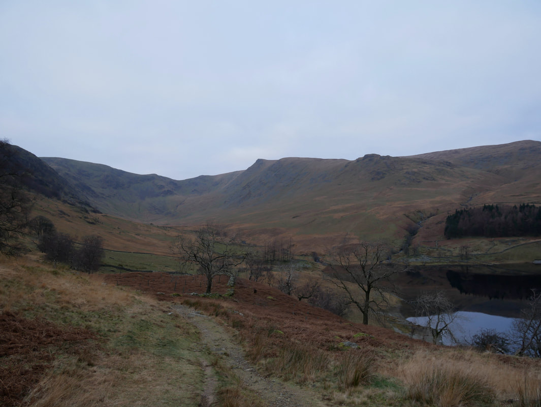
Kidsty Pike and the valley of Riggindale - the Coast to Coast route is to the right
Looking down Haweswater from The Rigg. The small promontory jutting out is Speaking Crag.
From The Rigg an obvious path heads up towards Swine Crag and the ridgeline.
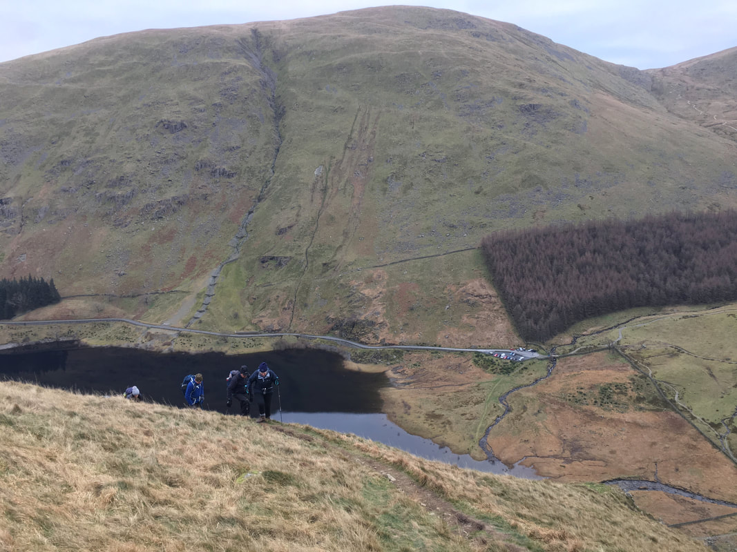
To gain the ridgeline is a gradual ascent with some short, steep sections. The Car Park can be seen below - the fell dominating the background is Branstree.
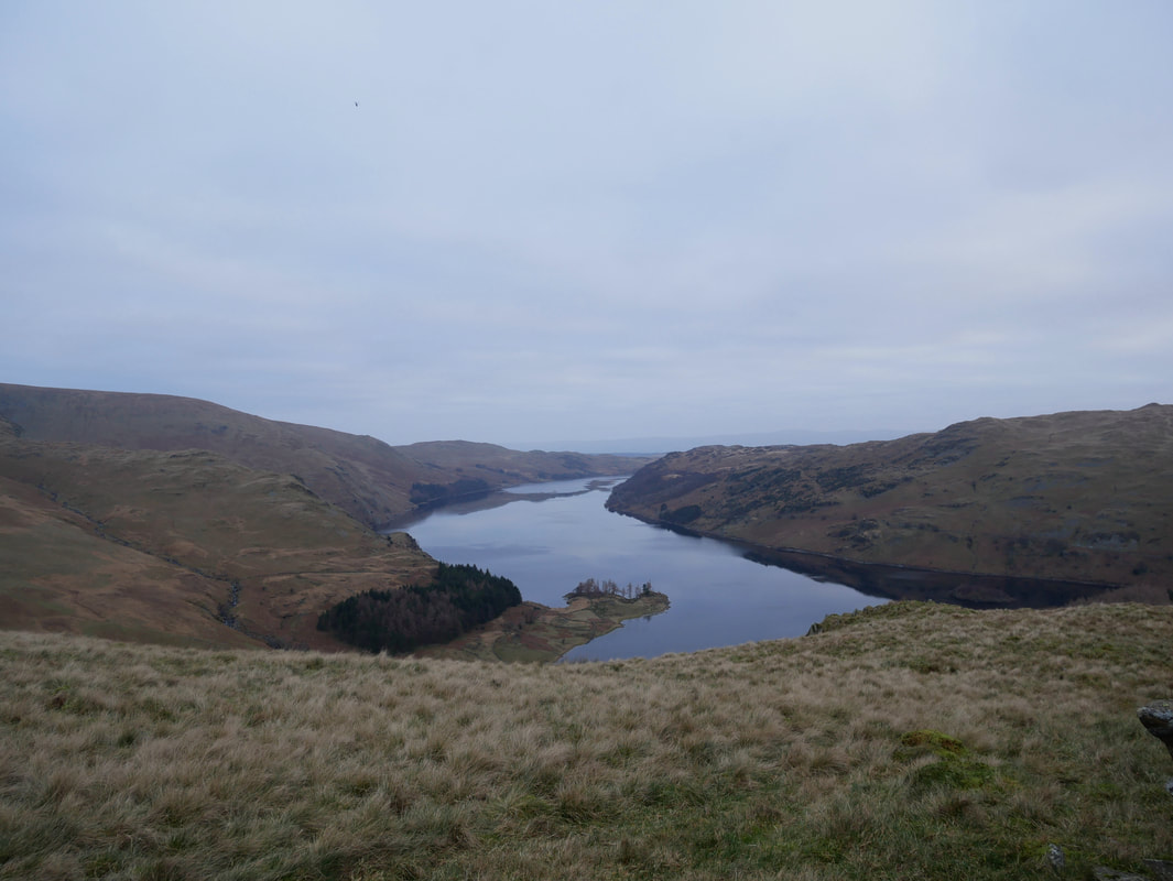
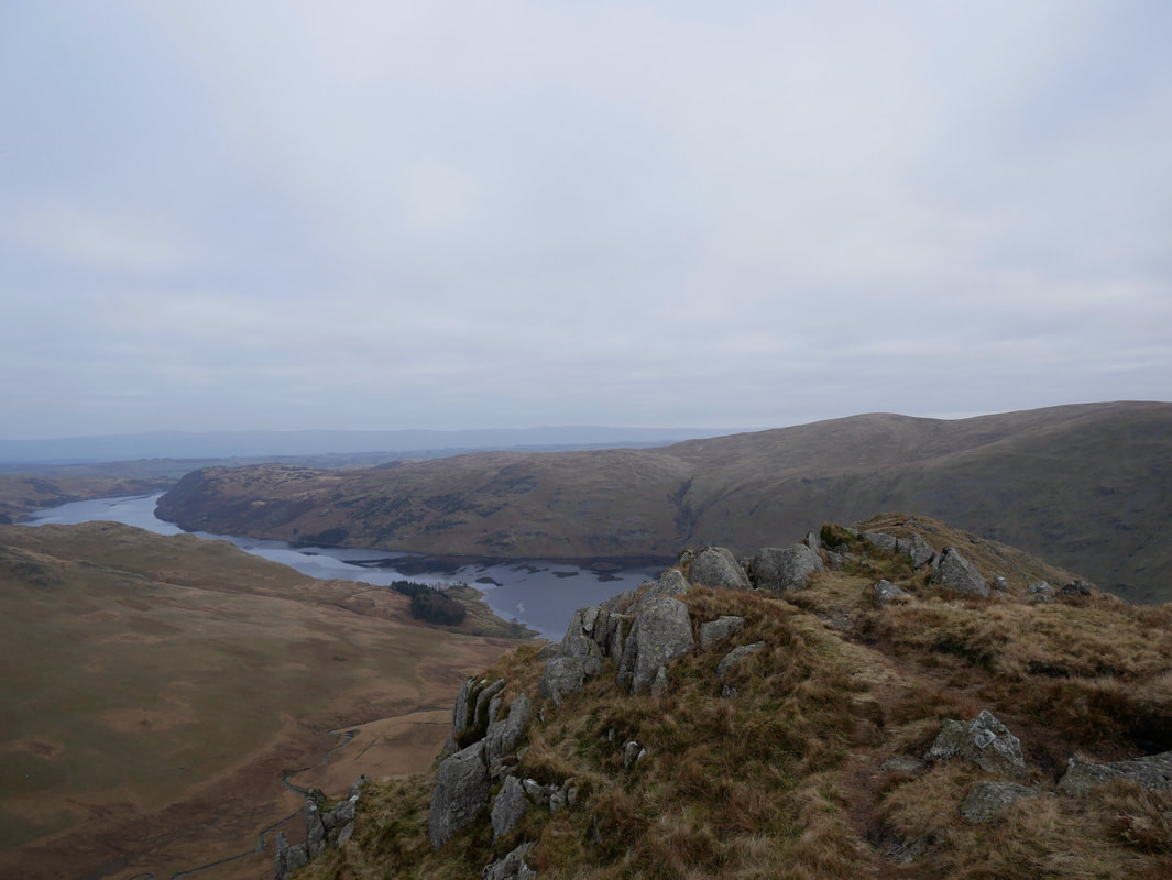
Haweswater from the ridgeline
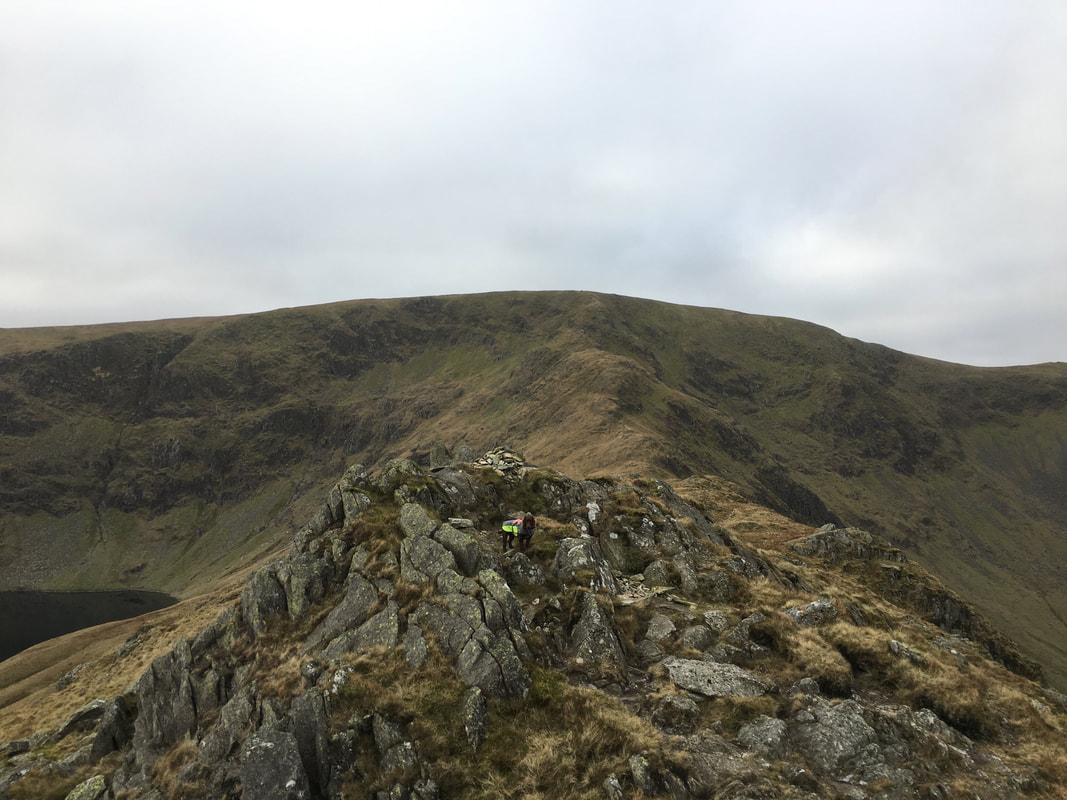
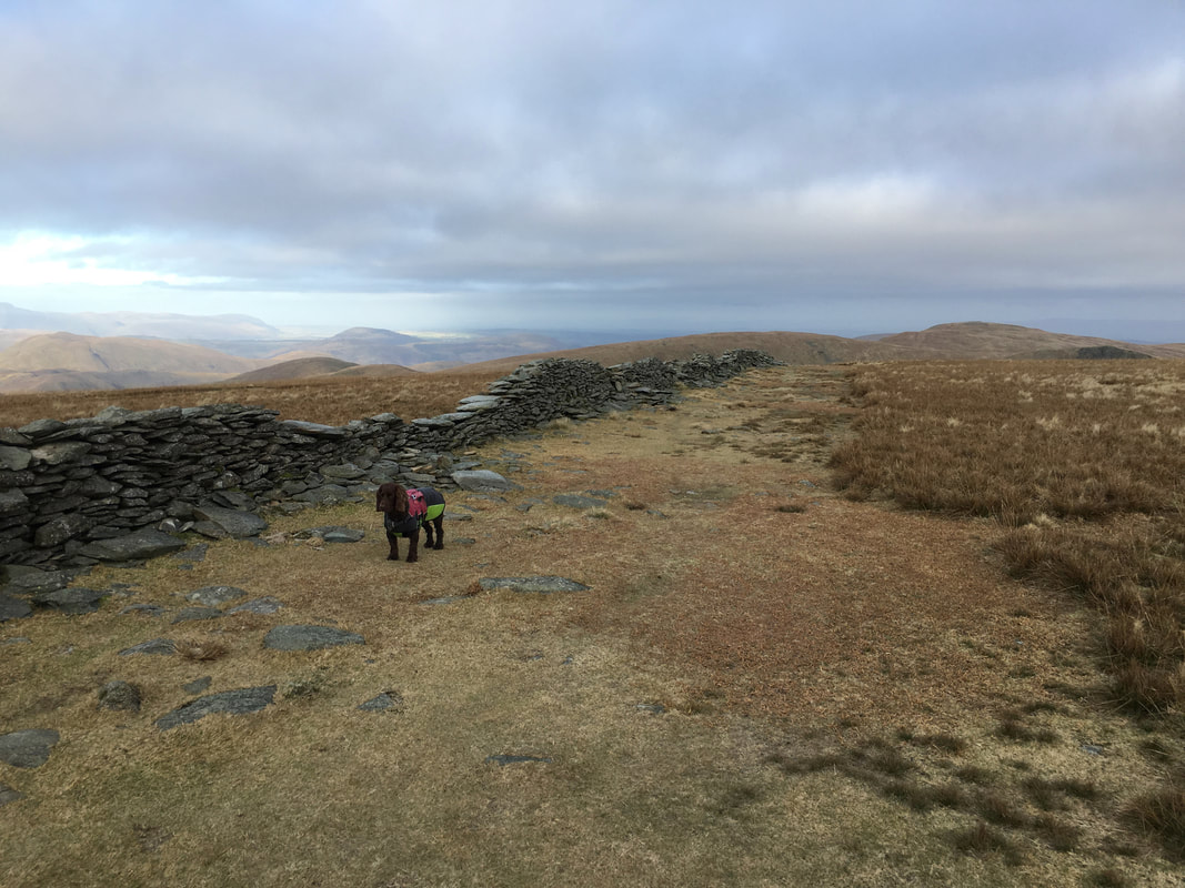
Fudge on the summit of Rough Crag with Caspel Gate, Long Stile and High Street beyond
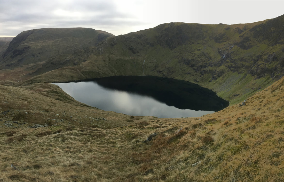
A panorama from the same spot with Blea Water now in view below Mardale Ill Bell - Fudge appears not to have moved an inch.
The summit of Rough Crag and Haweswater with the Pennines way in the distance.
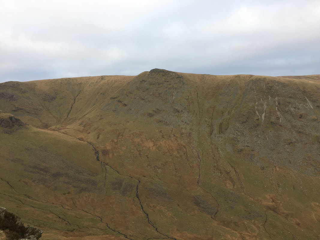
Kidsty Pike across Riggindale
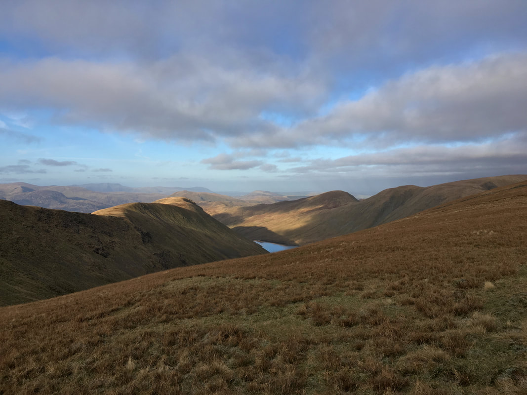
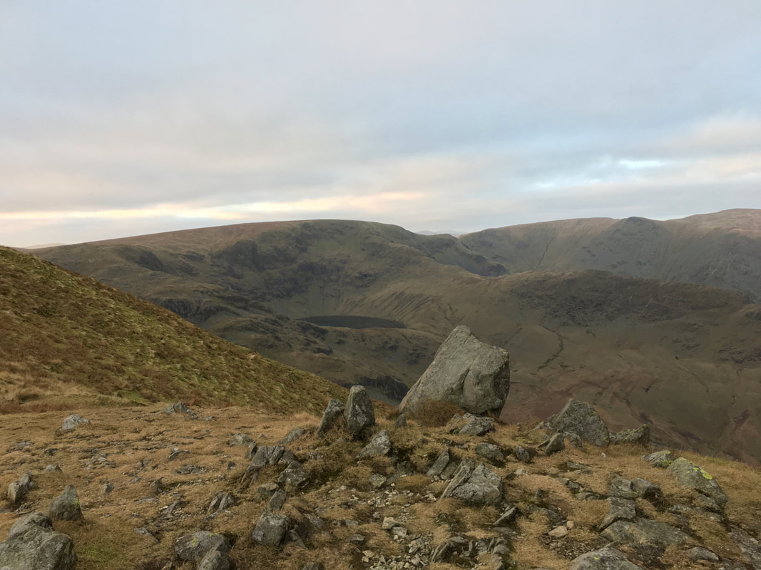
Blea Water with Harter Fell left & Mardale Ill Bell directly above - we would be over on that ridge later.
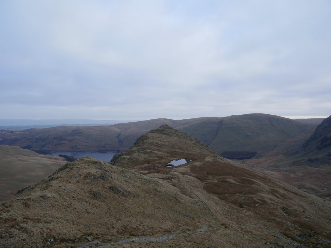
Looking back along the ridgeline from Long Stile to Caspel Gate and the small tarn.
Wainwright considered the ridge of Rough Crag as "the connoisseur's route up High Street, the only route that discloses the finer characteristics of the fell"
(High Street 6) - it is hard to argue with that and to me is the best way up this vast fell.
Wainwright considered the ridge of Rough Crag as "the connoisseur's route up High Street, the only route that discloses the finer characteristics of the fell"
(High Street 6) - it is hard to argue with that and to me is the best way up this vast fell.
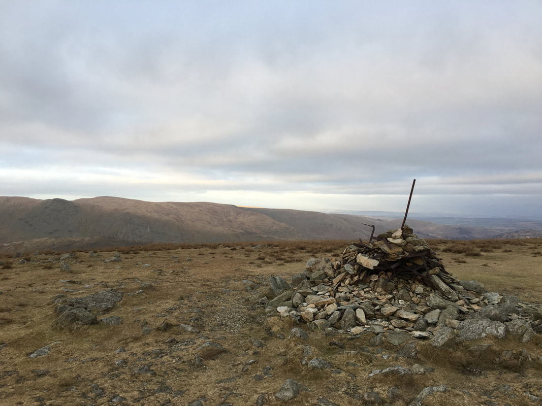
The top of Long Stile is marked by a large cairn where at this point the steepness relents and it is a simple, easy stroll to High Street's summit
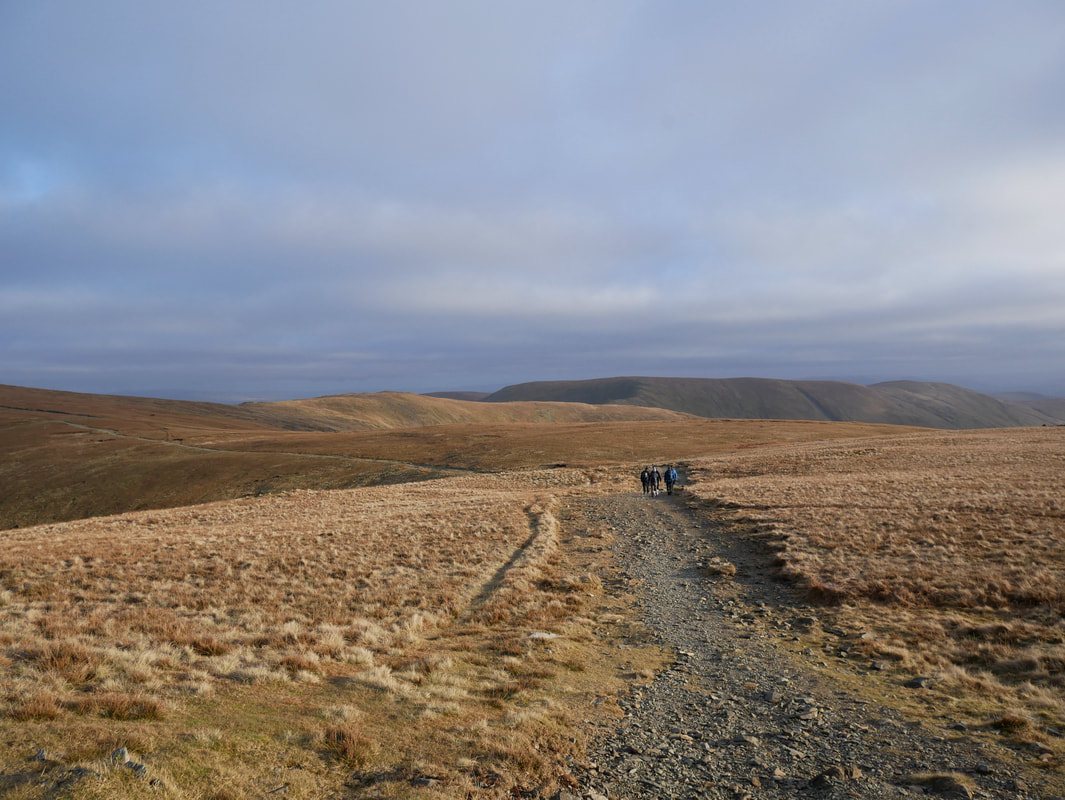
High Street's summit plateau
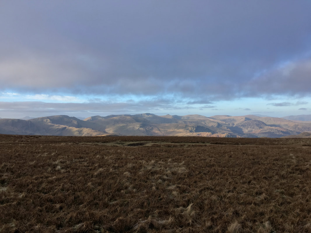
This is one of those occasions where the camera does not do the view justice. Once up on the plateau this is what greets you - a fantastic panorama over a large number of the Lake District fells.
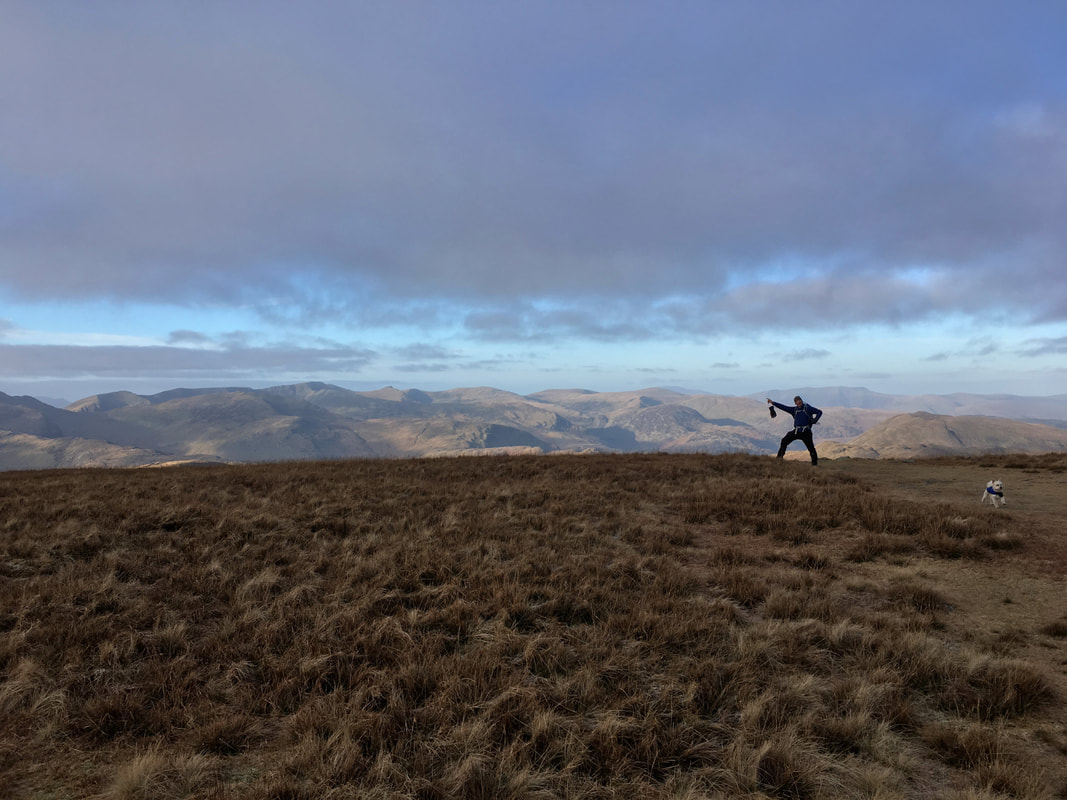
Colin's Travolta impressions were really coming along although Phineas looks quite alarmed
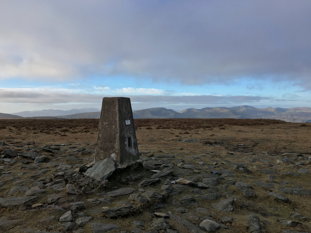
The Trig Point which marks the summit of High Street.
The name is derived from the Roman Road that crosses the fell on its way from Brougham (Brovacum) near Penrith to Ambleside (Galava). The summit is also known as Racecourse Hill and is so named on Ordnance Survey Maps - due to the fact that Horse Racing (amongst other sports) once took place up here in the 18th & 19th centuries.
The name is derived from the Roman Road that crosses the fell on its way from Brougham (Brovacum) near Penrith to Ambleside (Galava). The summit is also known as Racecourse Hill and is so named on Ordnance Survey Maps - due to the fact that Horse Racing (amongst other sports) once took place up here in the 18th & 19th centuries.
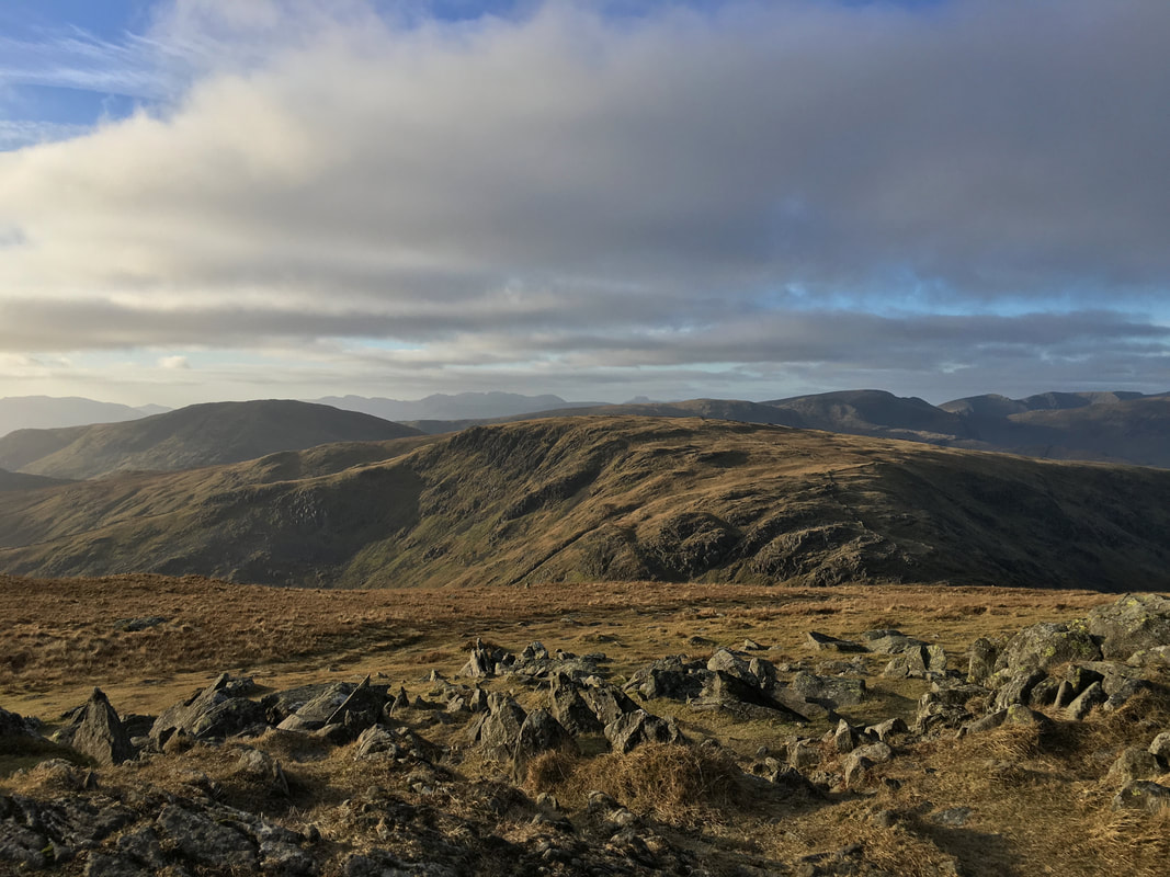
Looking north to Gray Crag, Hayeswater, Rest Dodd, The Knott, Rampsgill Head and High Raise
From High Street we made the delightful out and back to visit Thornthwaite Crag - well worth it
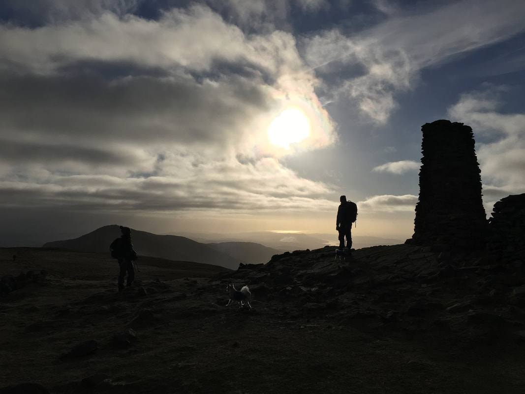
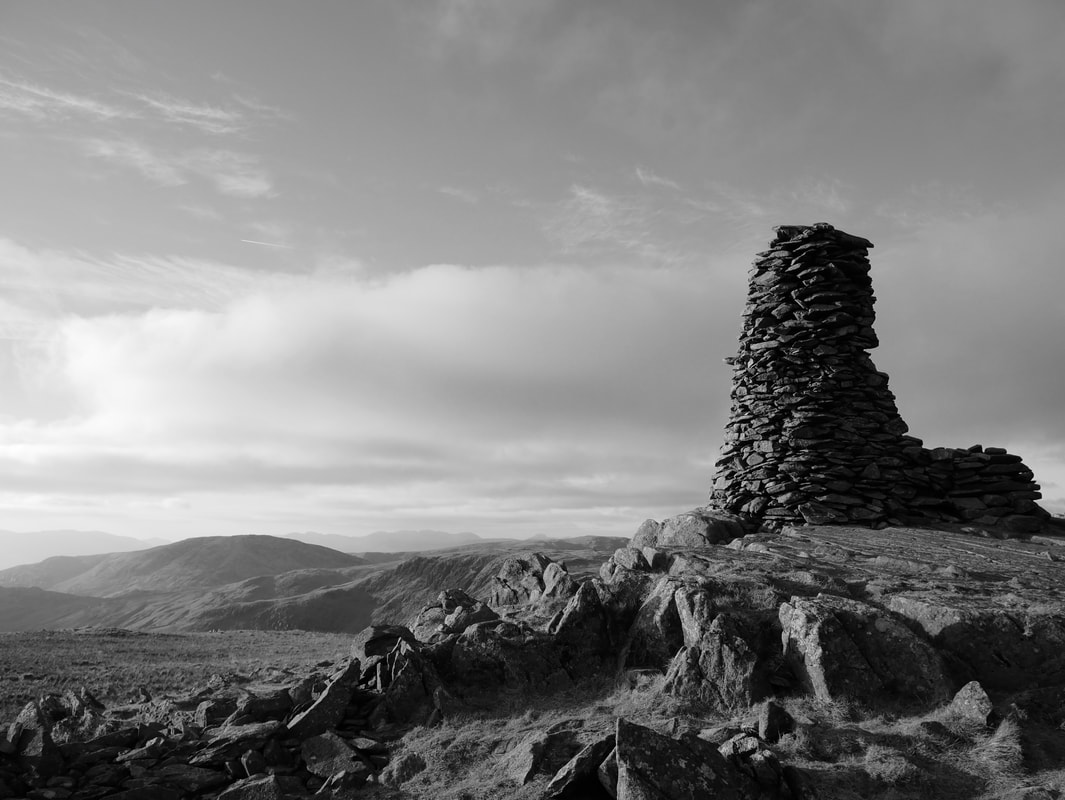
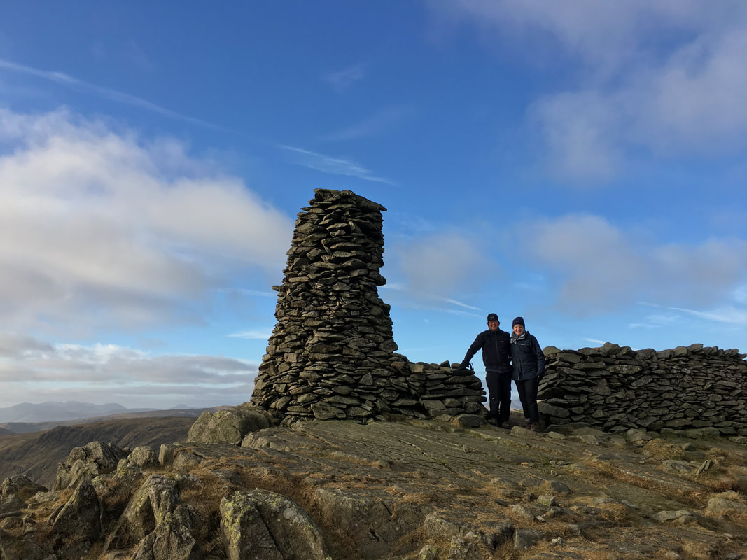
The 14 foot beacon near the summit of Thornthwaite Crag. The actual highest point of the fell is 148ft (45m) north of the beacon.
........... and also worth recording it in mono
Dave & Angela at the beacon on Thornthwaite Crag
Caudale Moor
Heading back to High Street from Thornthwaite Crag. Our route did not go all the way back to the summit of High Street but headed off to the right to head towards Mardale Ill Bell which can be seen left of centre.
Kentmere Reservoir with Yoke, Ill Bell & Froswick to the right
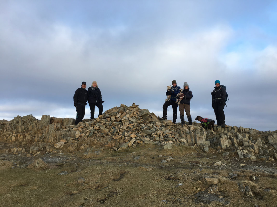
My walking companions on the summit of Mardale Ill Bell - left to right the other Dave, Angela, Phineas, Colin, Cornelius, Deb, Fudge & Angie
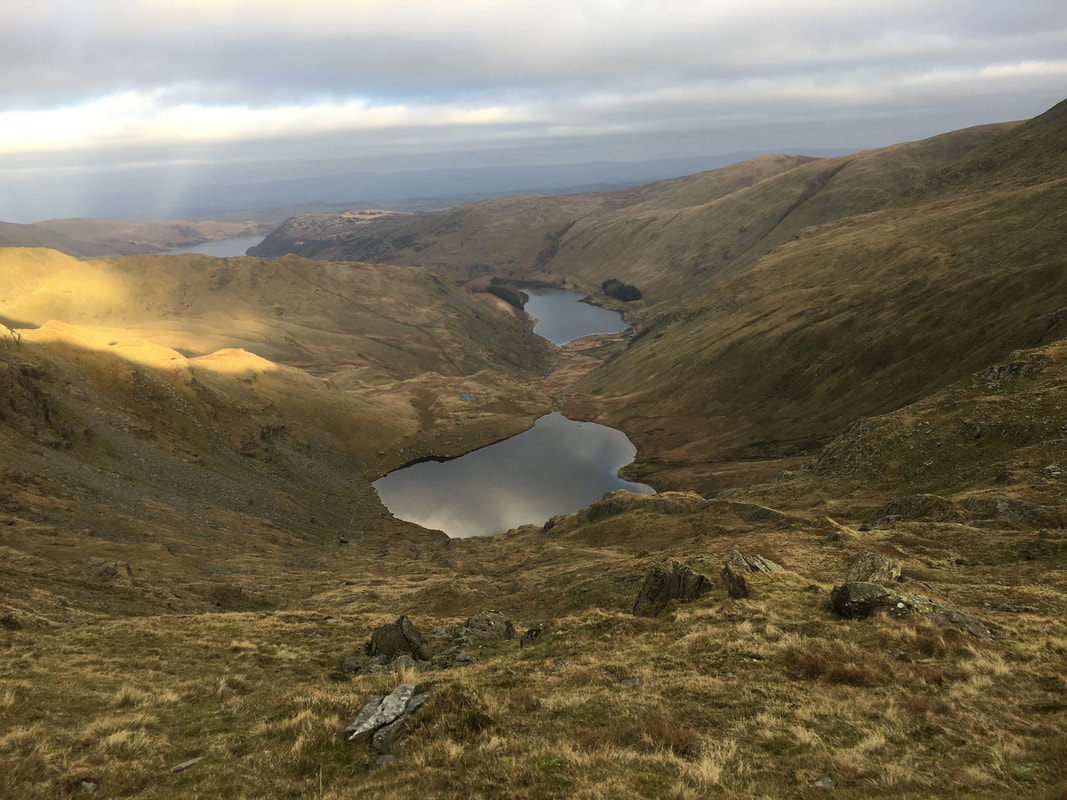
Small Water, Mardale Head & Haweswater from Mardale Ill Bell
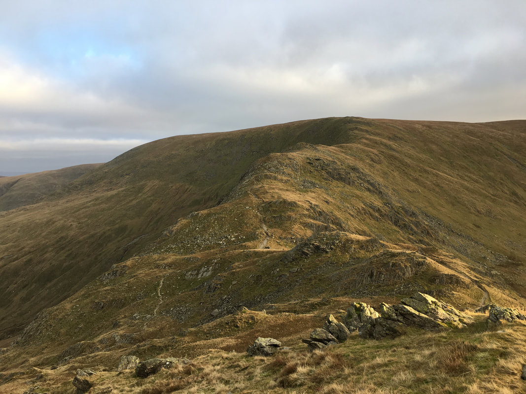
The Nan Bield Pass ahead and our climb to gain Harter Fell
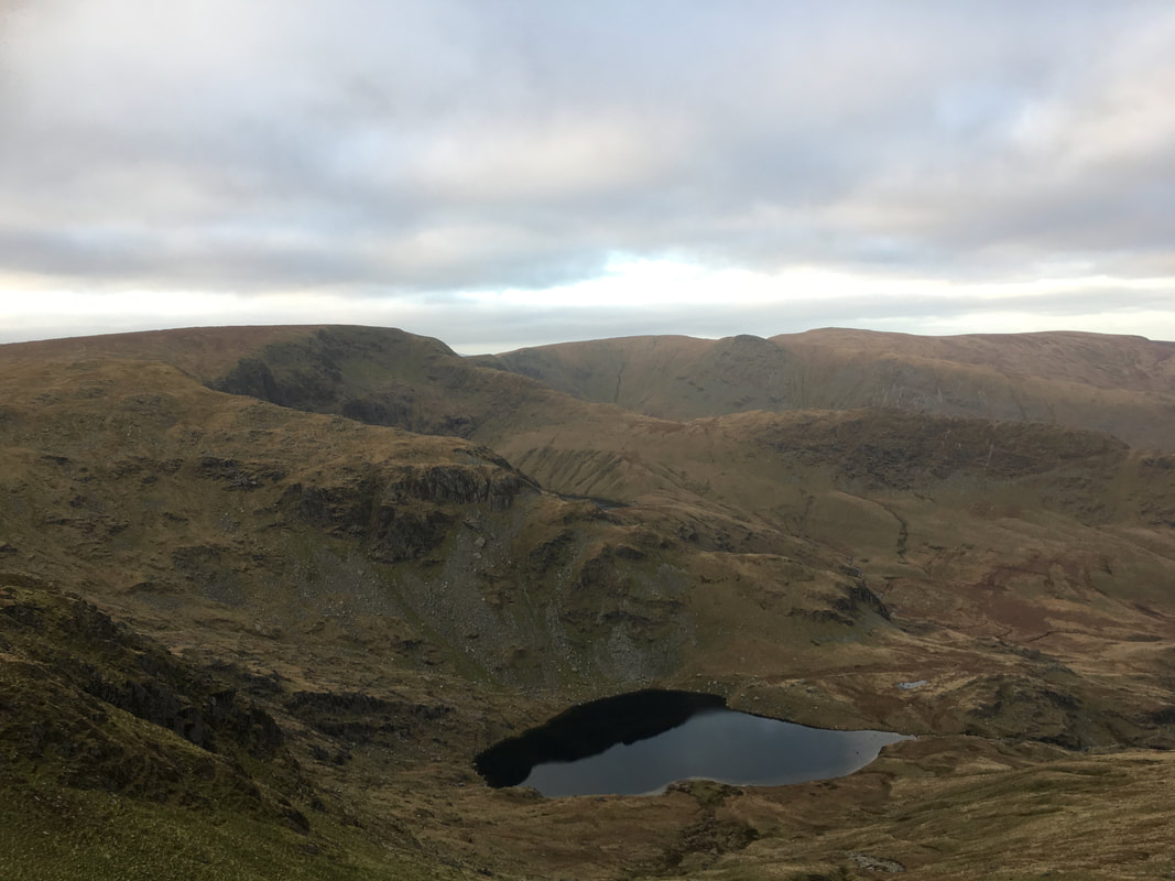
Small Water & Piot Crag with our outward ridge to High Street to the rear
Another view of Yoke, Ill Bell & Froswick this time from the ascent of Harter Fell
The summit of Harter Fell - I think it is time to get down now and go for a pint
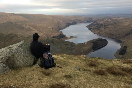
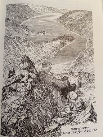
Near the fence corner on the way down to the Gatesgarth Pass is a viewpoint from where Wainwright penned a self portrait of himself looking down over Haweswater - the arrow on the drawing is still visible on the actual rock. This is one of the best vantage points to look down over the reservoir therefore Dave very kindly agreed to pose as Wainwright in order to re-enact the scene - I don't think we have done a bad job.
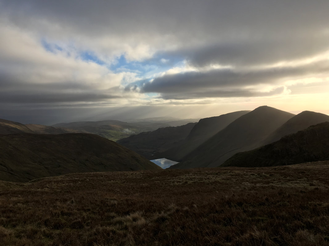
A last look at Blea Water & High Street before we head down the Gatesgarth Pass back to the Car Park at Mardale Head.
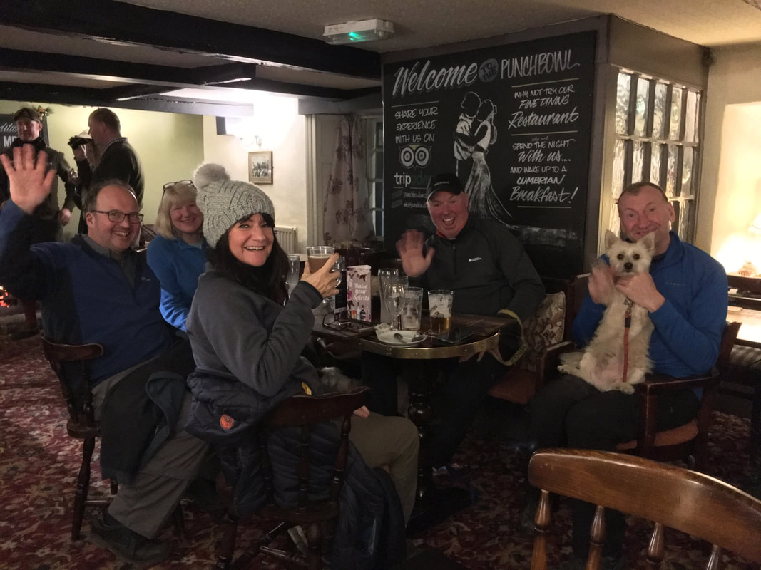
The debrief today was at the excellent Punchbowl Inn at Askham
A happy bunch now they have been fed and watered. We were unfortunately adopted by the pubs "drunk in residence" who insisted on trying to feed all 3 dogs Scampi Fries - alright going in but not alright coming out.
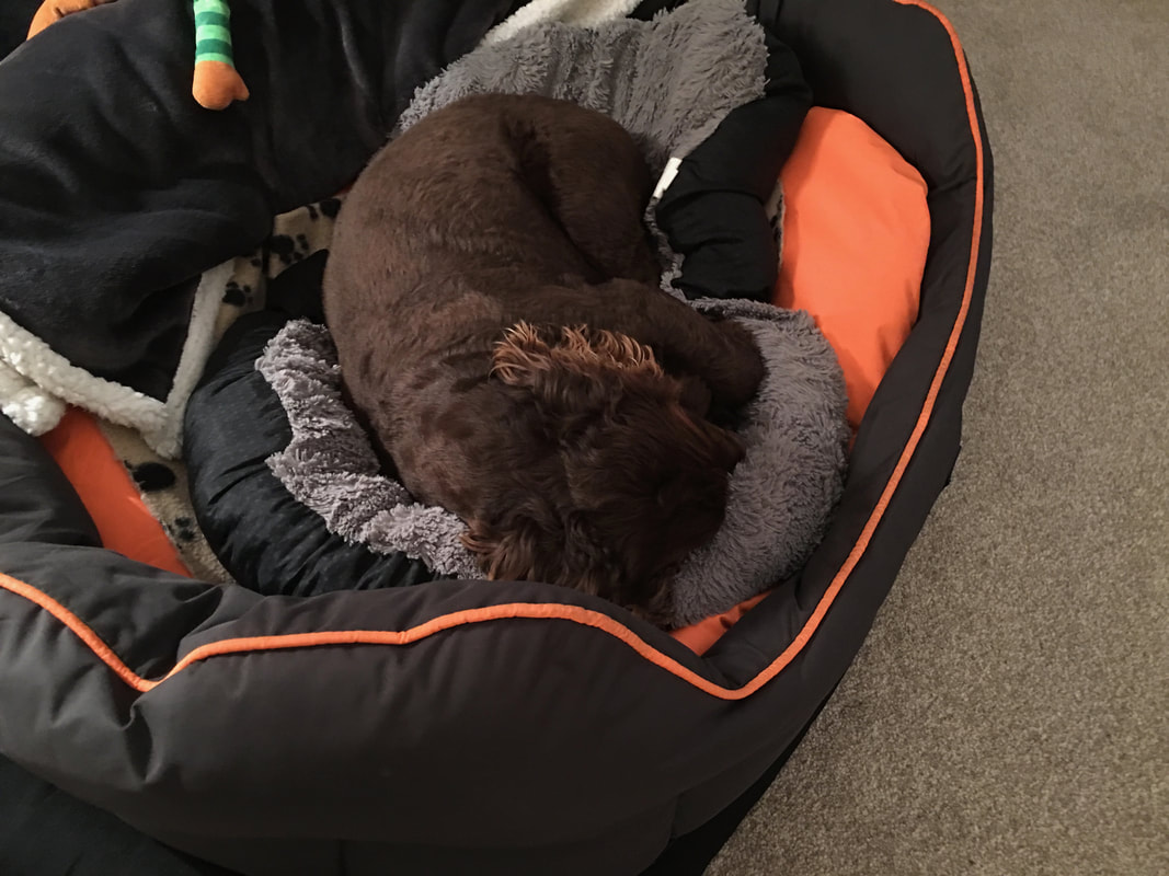
Zzzzzzzz - someone had a great (but tiring) day out
