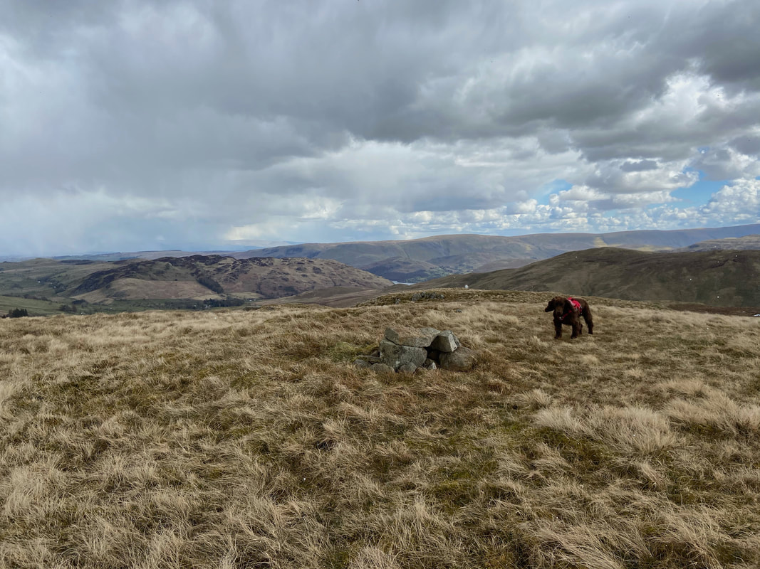
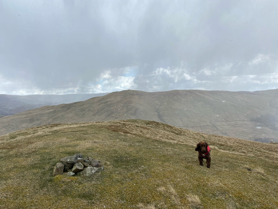
The Dowthwaite & Deepdale Round - Sunday 11 April 2021
Route
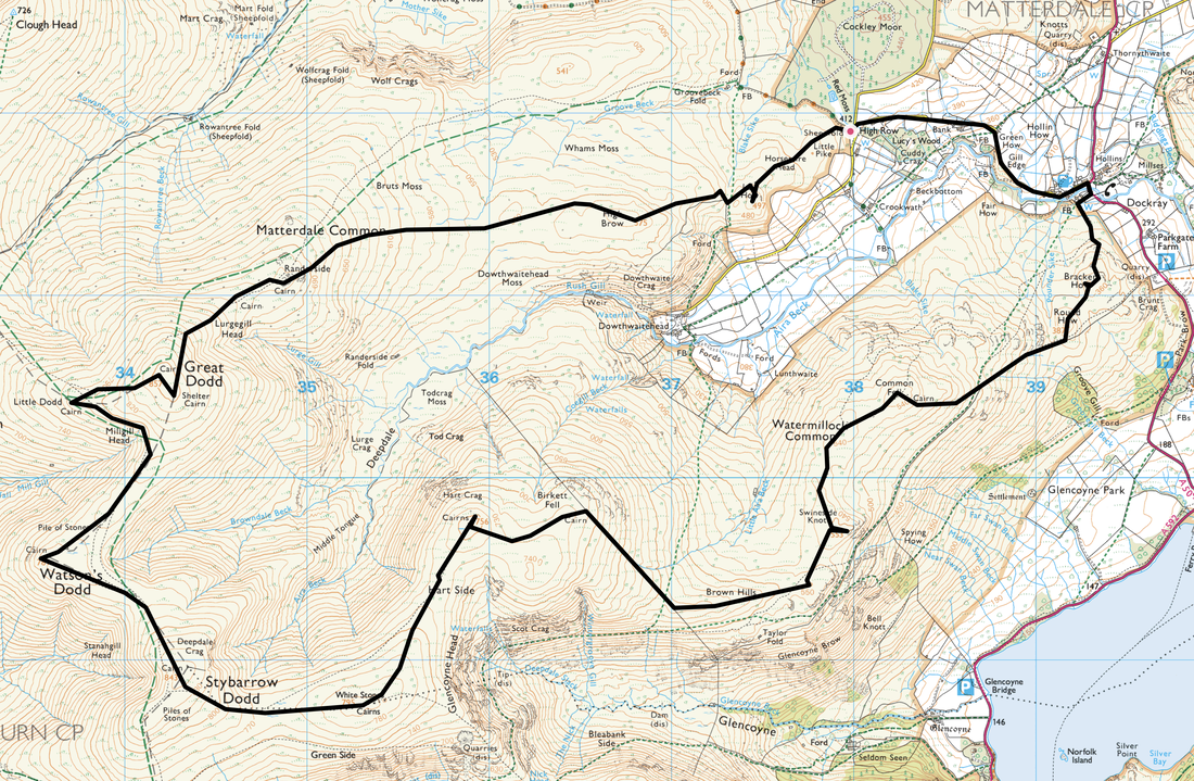
High Row - Dockray - Bracken How - Round How - Common Fell - Swineside Knott - Brown Hills - Birkett Fell - Hart Side - Green Side (White Stones) - Stybarrow Dodd - Watson's Dodd - Little Dodd - Great Dodd - Lurgegill Head - Randerside - High Brow - Low How - Horsemire Head - High Row
Parking
High Row above Dockray where there is free parking for several cars - Grid Ref NY380219. The nearest postcode is CA11 0LG.
Mileage
11.4 miles
Terrain
Good mountain paths throughout.
Weather
Sunny yet bitterly cold with light breezes although we did have a snow shower near the end of the walk. Visibility was excellent.
Time Taken
6hrs 45mins
Total Ascent
2388ft (728m)
Wainwrights
4
Map
OL5 - The English Lakes (North Eastern Area)
Walkers
Dave, Angie & Fudge
|
GPX File
|
| ||
If the above GPX file fails to download or presents itself as an XML file once downloaded then please feel free to contact me and I will send you the GPX file via e-mail.
Route Map
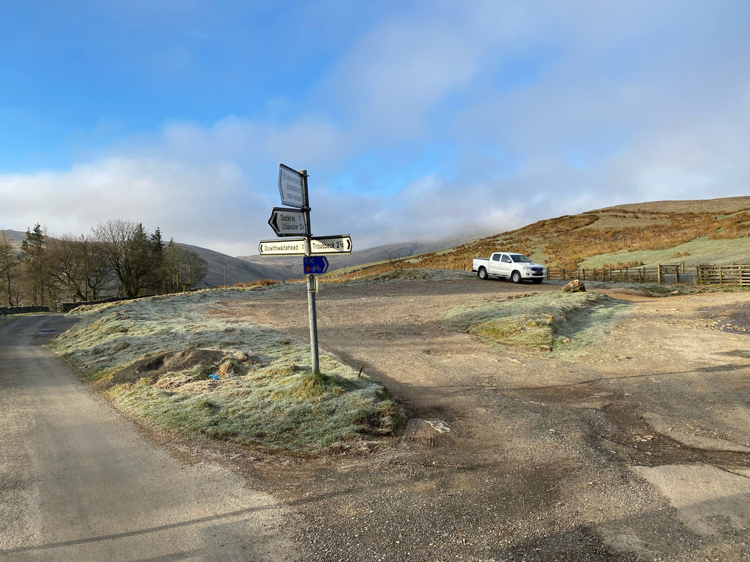
The parking area at High Row above the village of Dockray. At the weekend it gets very busy here as the parking area is an excellent starting point for both Clough Head & The Dodds therefore it is best to get here early. We were off on a 15 summit extravanga today and therefore arrived at 0730.
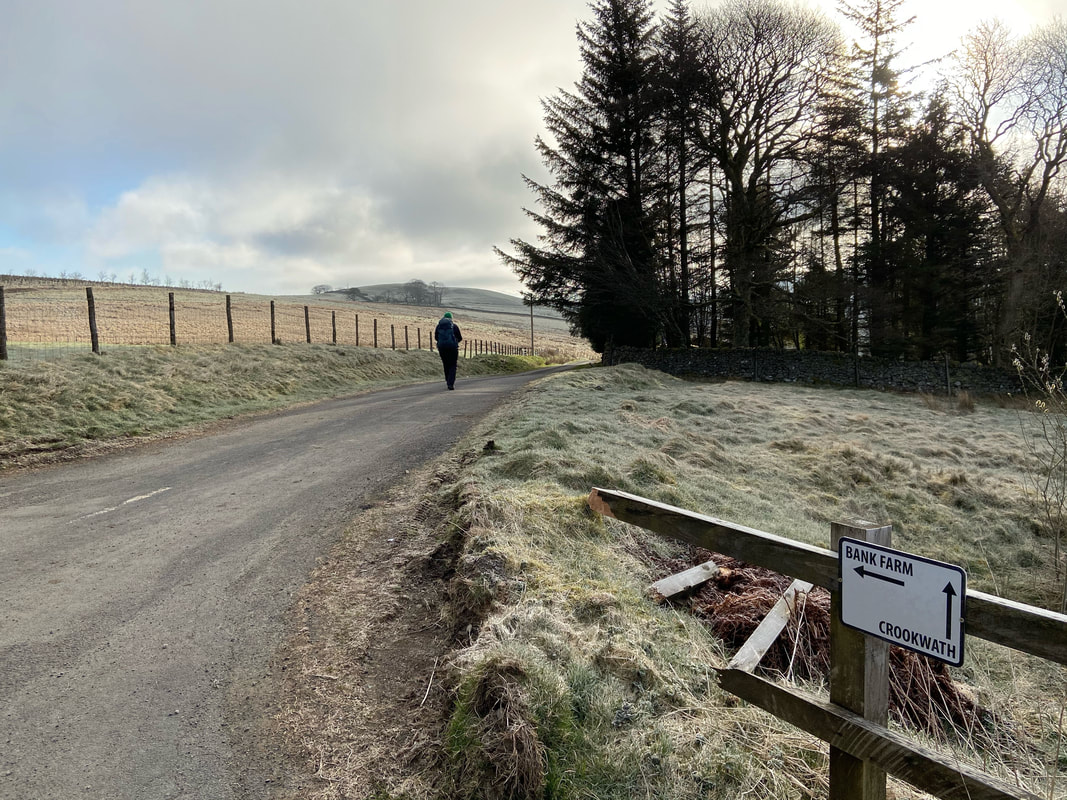
From High Row the route heads along a quiet lane towards Bank Farm and onwards to the village of Dockray
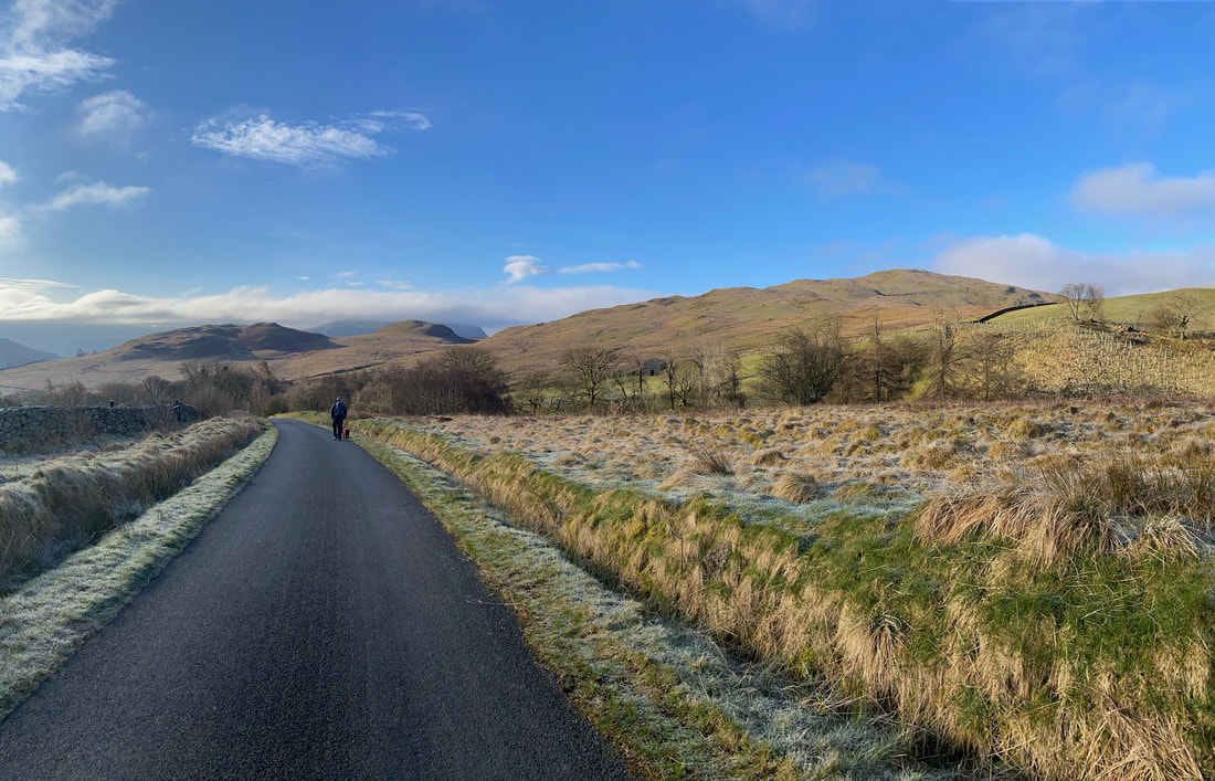
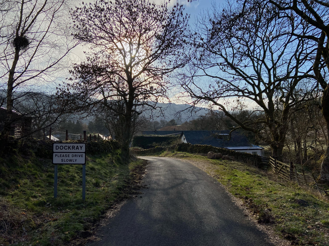
All quiet along the lane on a lovely Sunday morning as we drop down into Dockray
The route continues along the lane dropping steeeply to arrive in the village of Dockray
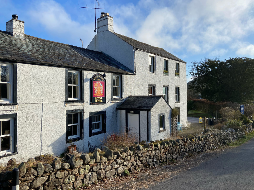
Not been in here for a while and as we passed all was very quiet. Just past the pub the route reaches a junction and turns right along the A5091.
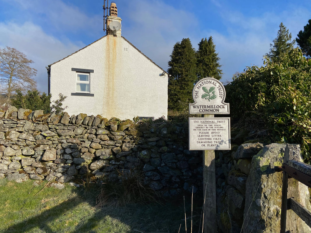
After about a 100 yards a waymarked sign on the right points the way on to Watermillock Common
Along the lane for a few yards and a gate leads onto the open fell side
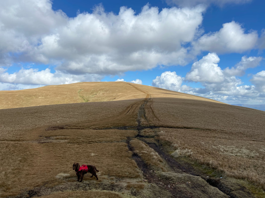
A path of sorts heads up the fell side to the first of today's summits, the Birkett of Bracken How
The summit of Bracken How looking to Great Mell Fell
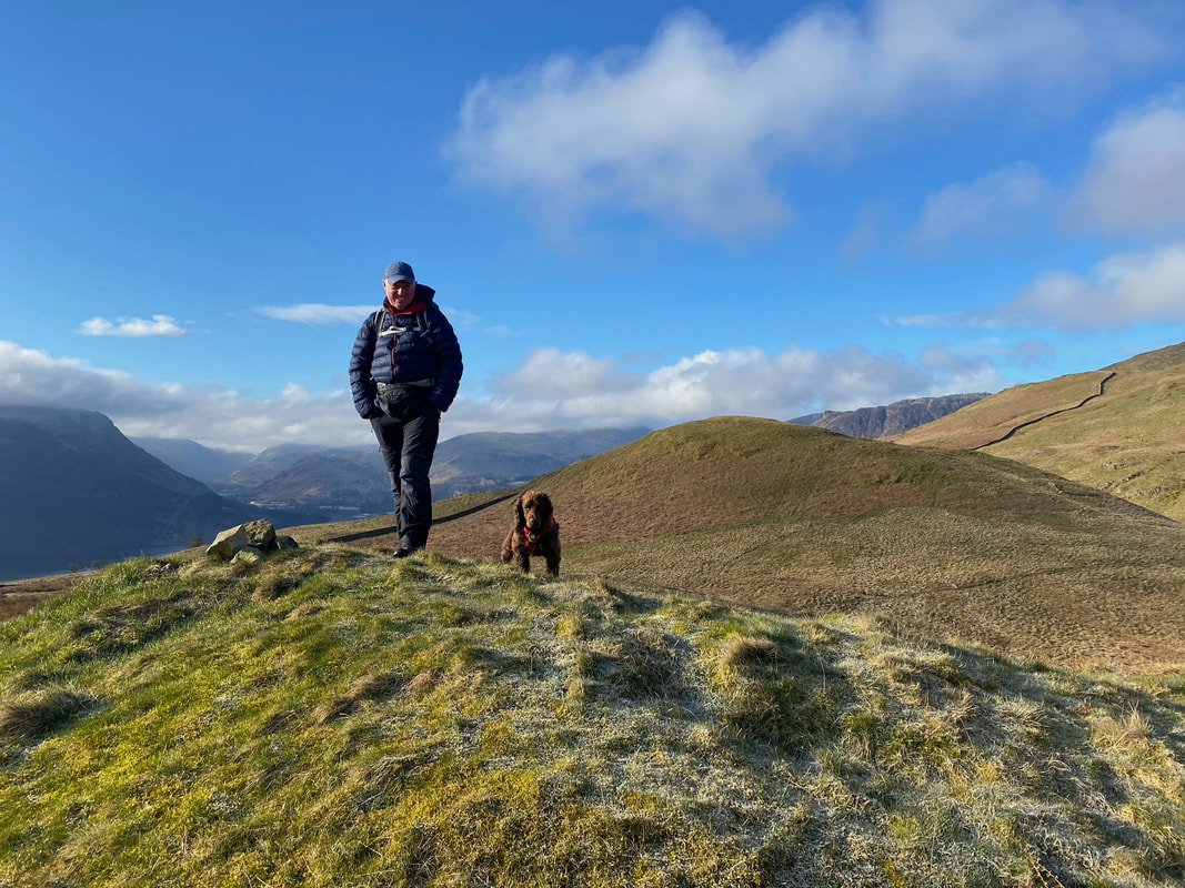
With Fudge on the summit of Bracken How - the next summit of Round How is behind us
Heading for Round How with Ullswater just in view to the left
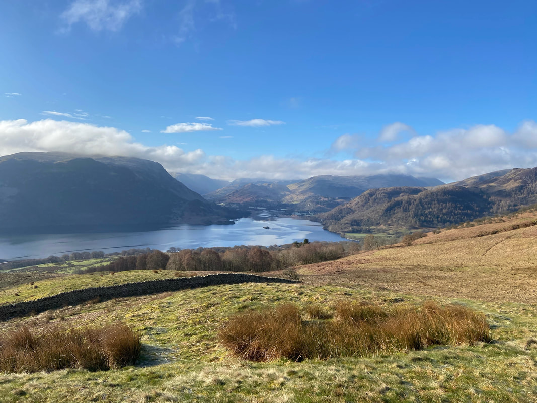
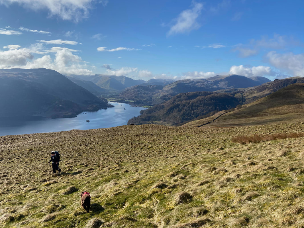
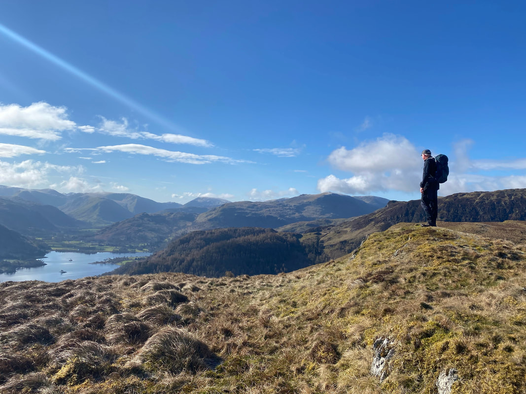
As height is gained the view over Ullswater really does open out with Place Fell looming large to the left
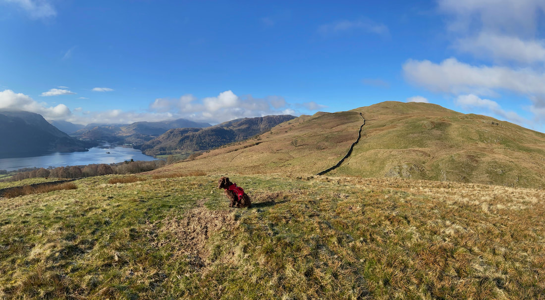
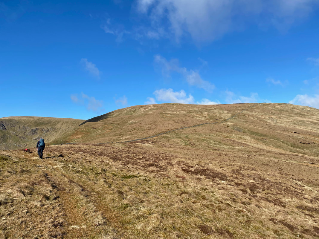
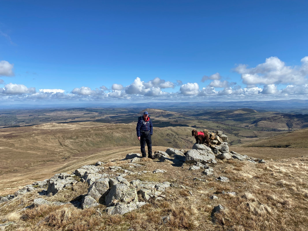
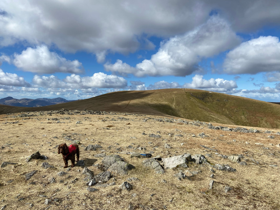
With no feature as such to mark the top of Round How, Fudge stepped into his unofficial job as temporary summit marker. As can be seen from the gob on him, he suffers this task in silence and tolerates it rather than embracing it. Our route to the next summit, Common Fell follows the wall heading off into the distance.
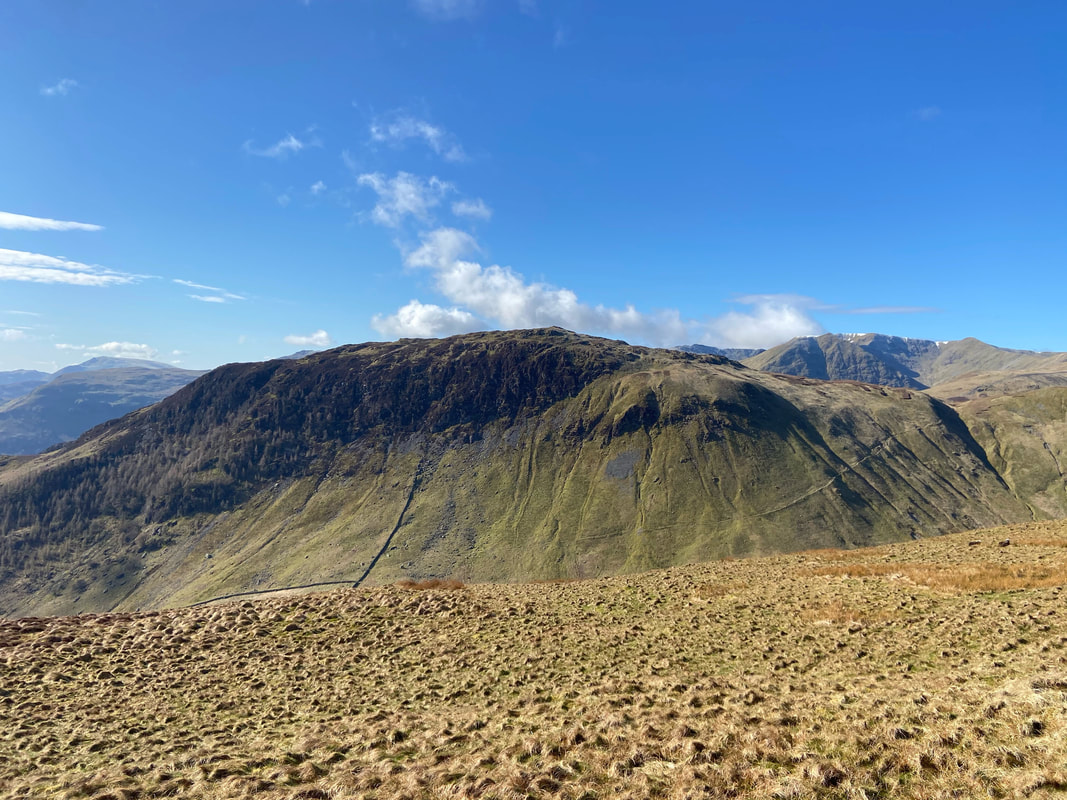
Gowbarrow Fell from the approach to Common Fell
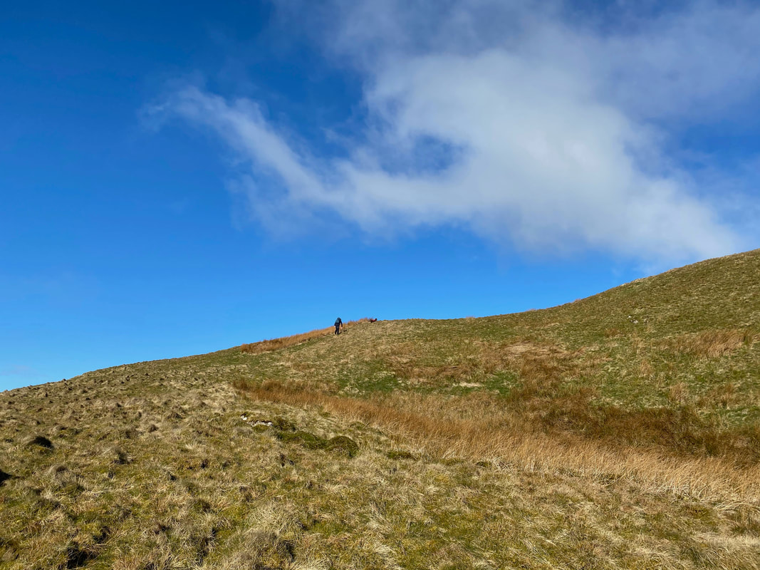
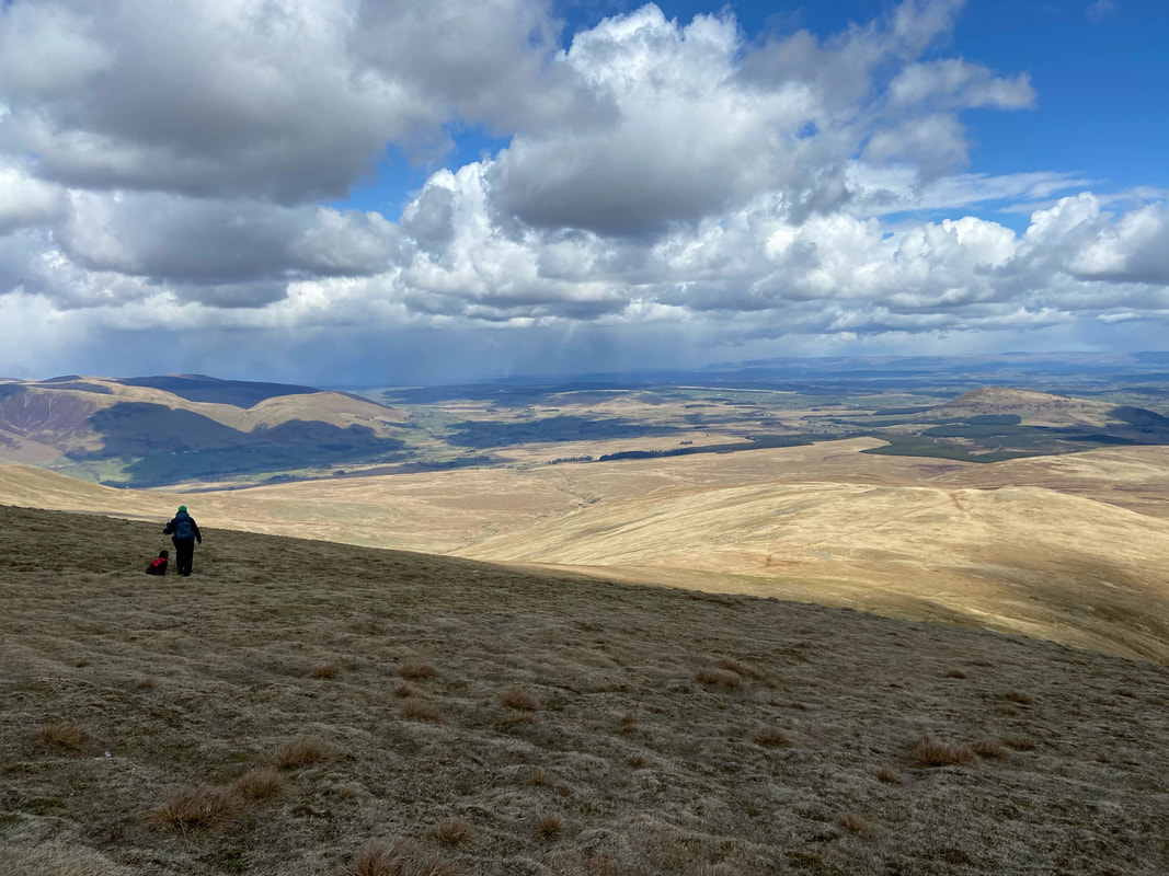
Up to this point the climbing had been fairly gentle however the gradient steepened as we approached Common Fell
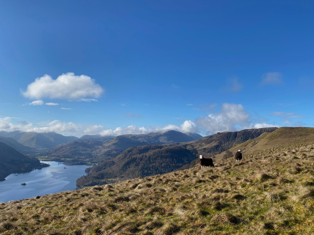
Young Herdwick lambs on Common Fell - and what a backdrop
The view over Ullswater from Common Fell (click Play to view)
Fudge nips back to check on his Mum as we near the summit of Common Fell
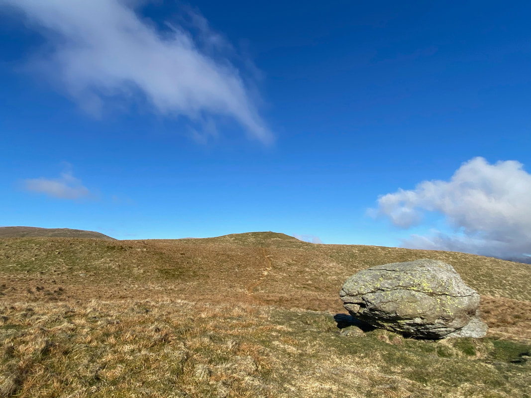
The route passes a large erratic boulder as we near the summit of Common Fell
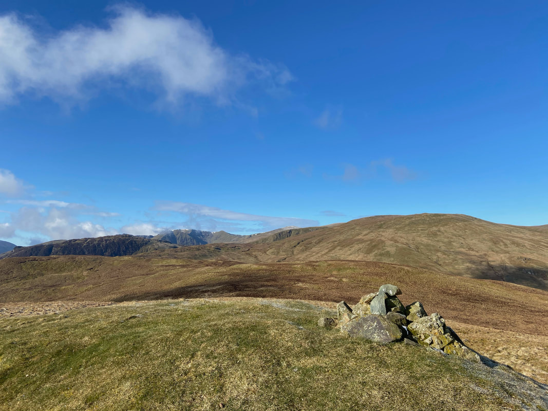
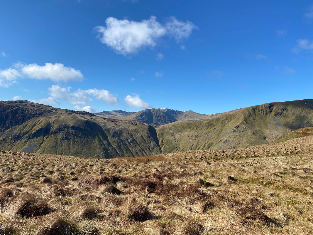
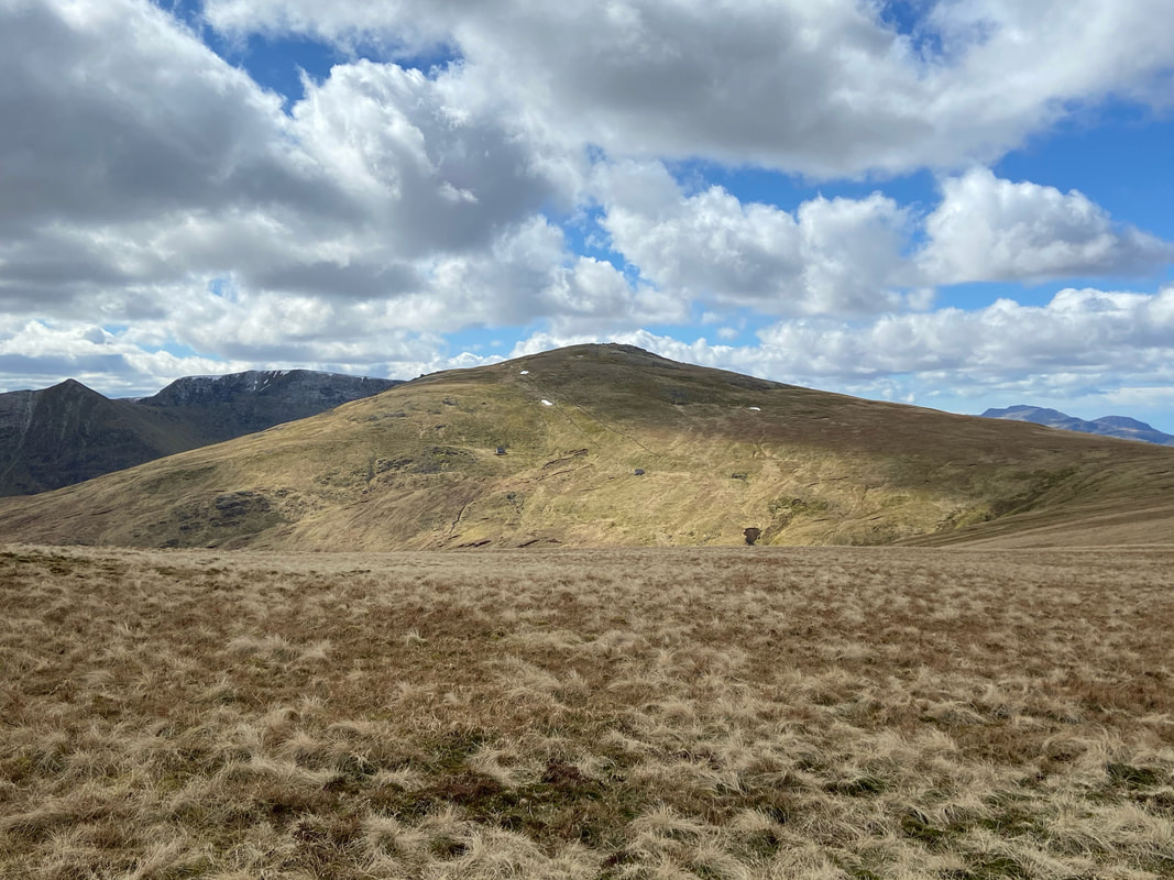
The summit of Common Fell with Sheffield Pike to the left, the Helvellyn range centre left and Birkett Fell to the right
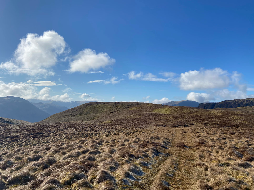
From Common Fell we headed over fairly level ground to Swineside Knott
Up on the summit of Swineside Knott and what a view down Ullswater towards Glenridding & Patterdale
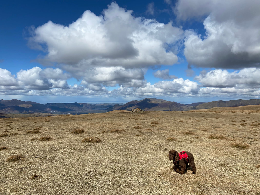
No feature on the summit of Brown Hills therefore we had to improvise with Fudge again - he's still not impressed
Heron Pike to the left with Sheffield Pike central and Helvellyn distant right
From Brown Hills we headed for Birkett Fell following the line of the wall that moves from left to right ahead
The col between Brown Hills & Birkett Fell gives an excellent view over to Nick Head and Glencoyne which beautifully frames Helvellyn & Catstycam. We had brought our stove with us today and therefore stopped here to cook some Bacon Sarnies - I reckon we may have an audience as we eat them though!
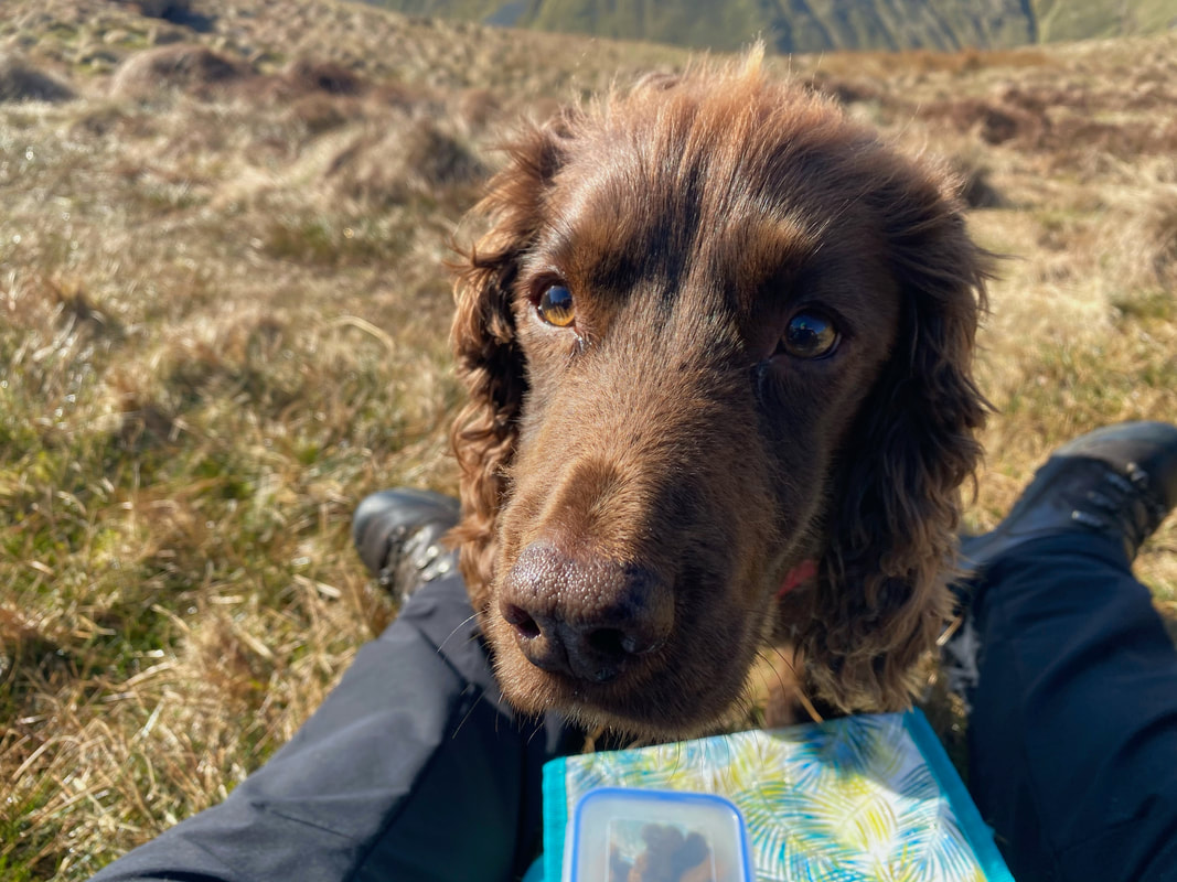
Yep - just as I thought - nothing is safe with him around
Cooking Breakfast with an audience (click Play to view)
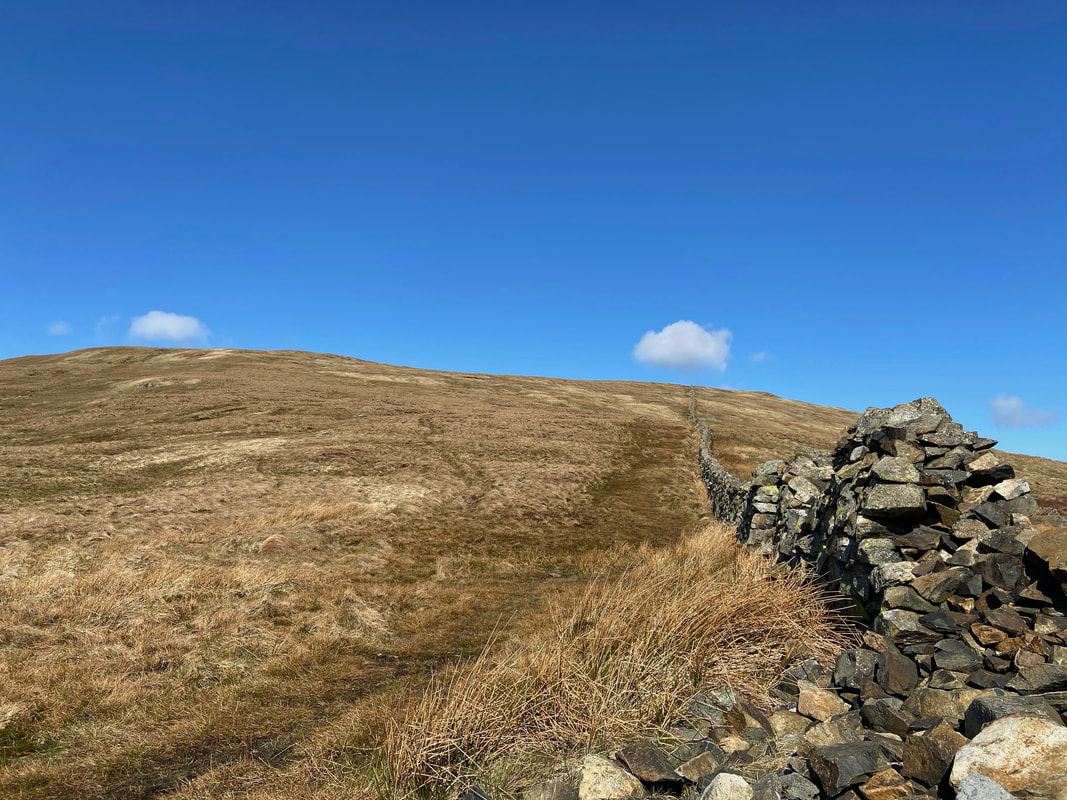
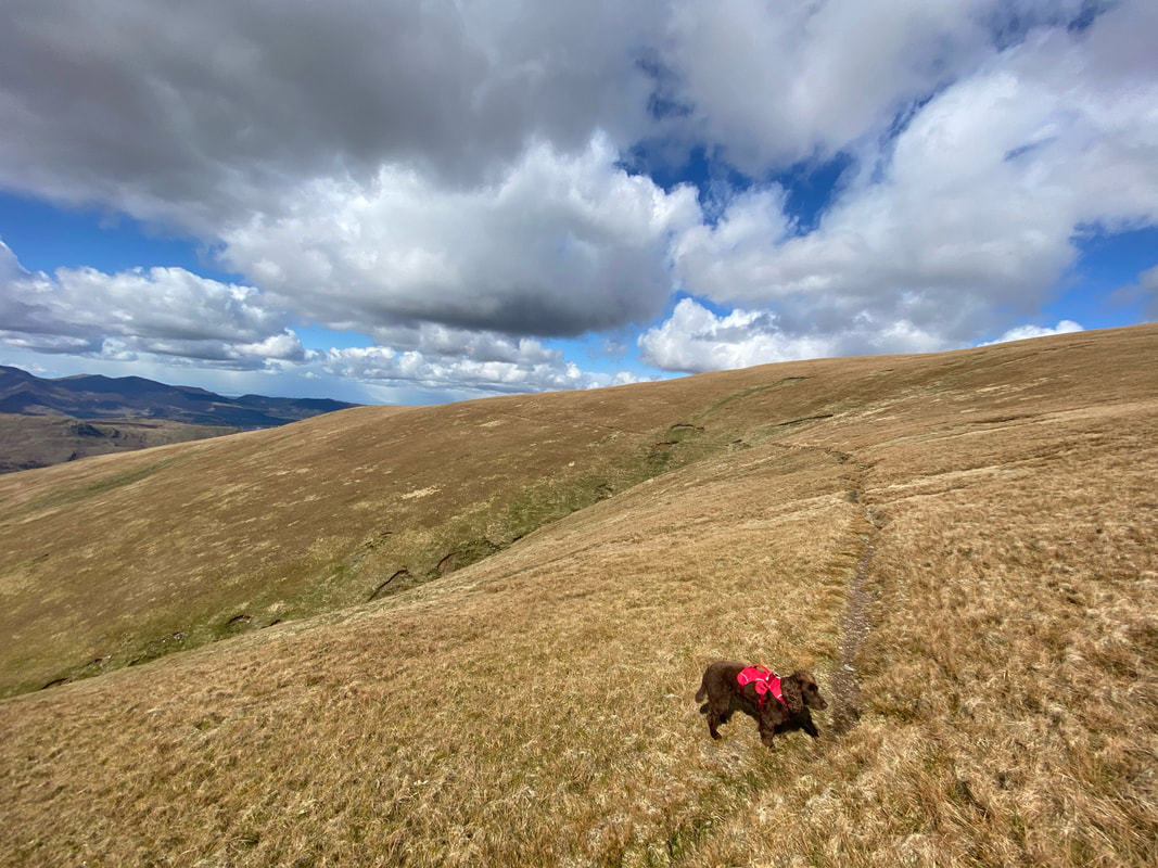
The path to Birkett Fell follows the wall before breaking off to the left about 200 yards from the summit.
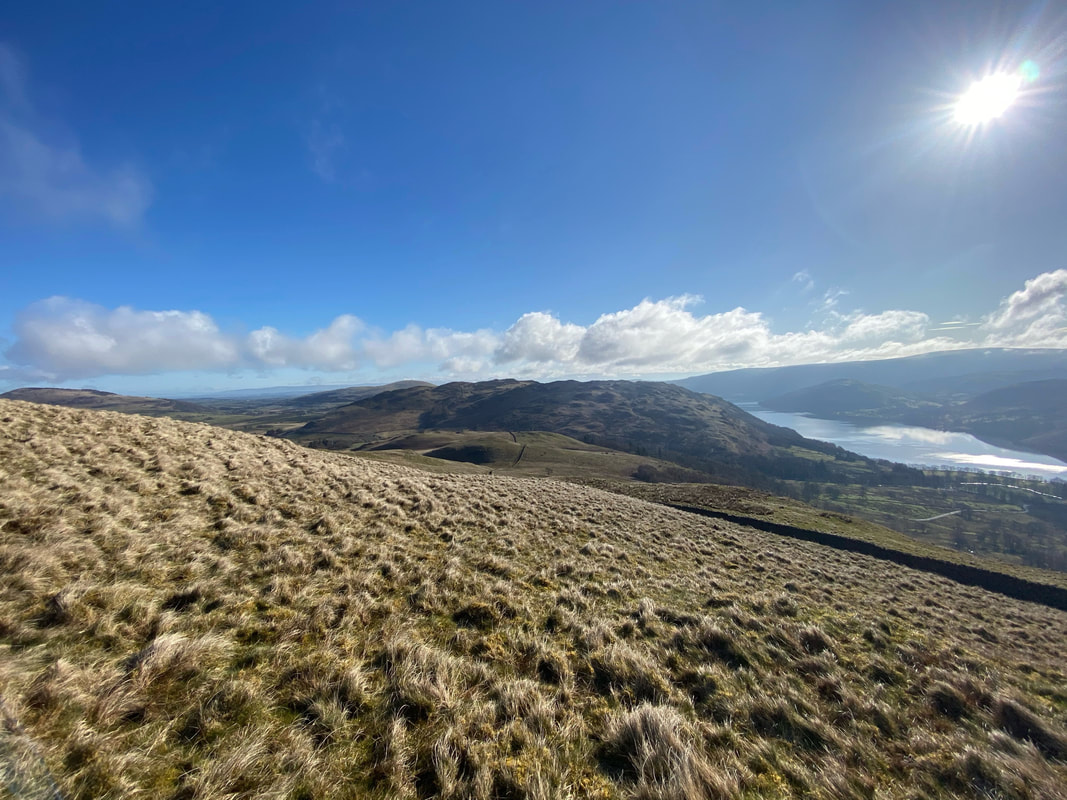
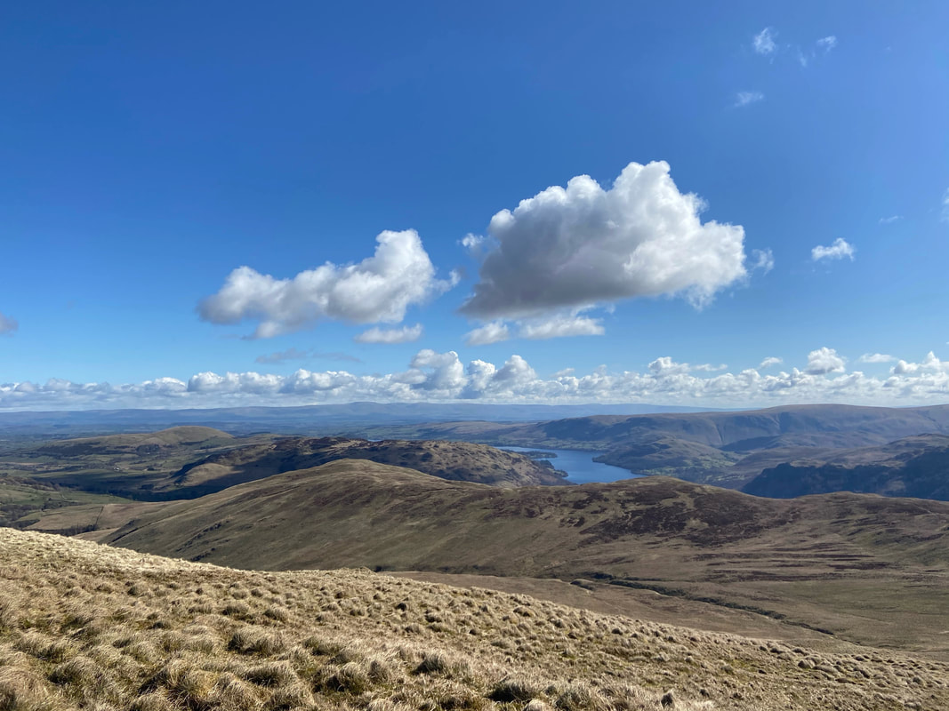
Looking back at our route over from Dockray with Ullswater beyond
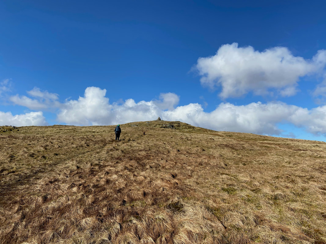
Approaching the summit of Birkett Fell
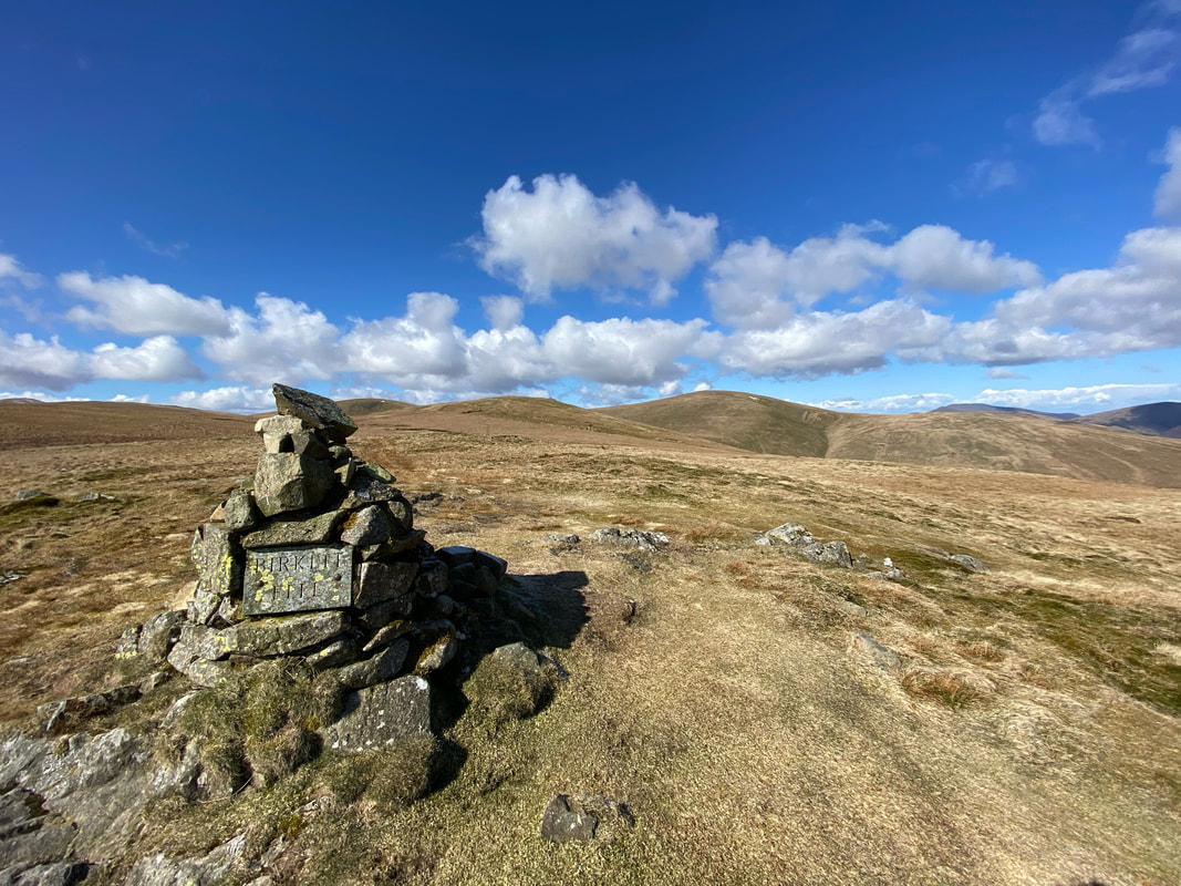
The summit of Birkett Fell with a suitably engraved plaque just in case you were unsure of your location. The memorial cairn commemorates Lord Birkett of Ulverston who, in the 1960's successfully resisted proposals to turn Ullswater into a reservoir. He was also an early advocate of National Parks.
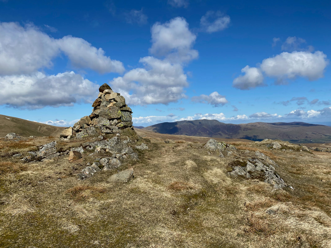
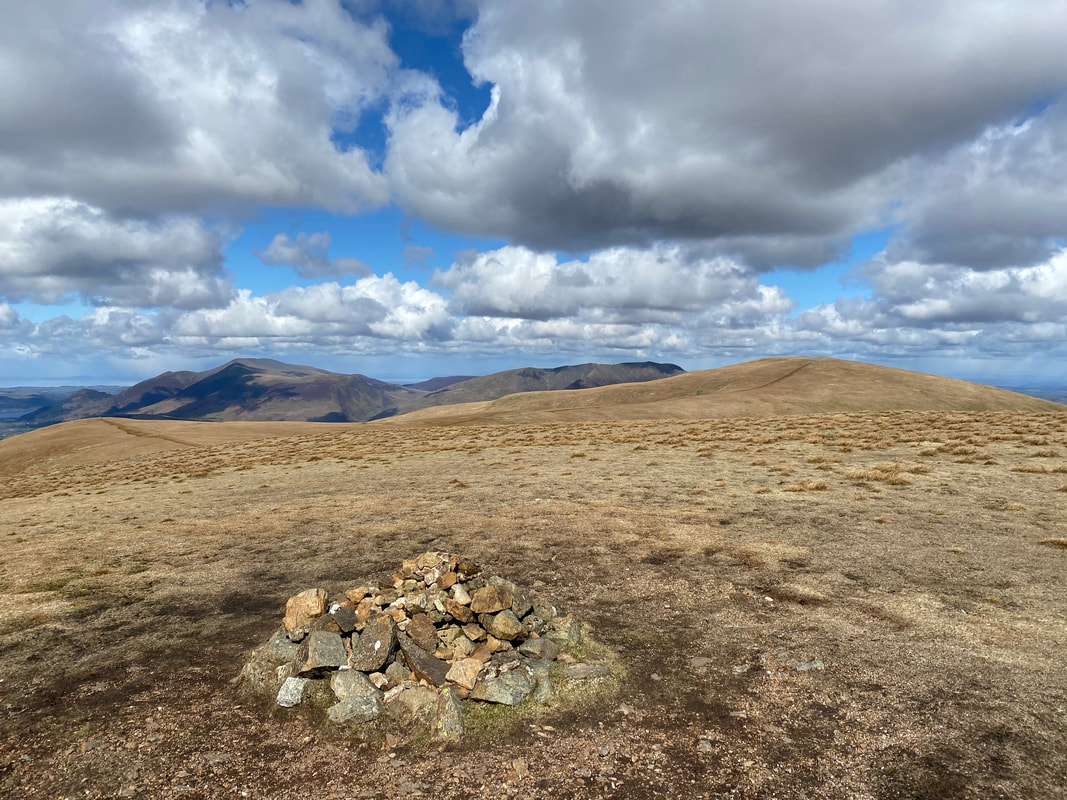
The summit of Birkett Fell looking to Blencathra
From Birkett Fell we were now off to Hart Side
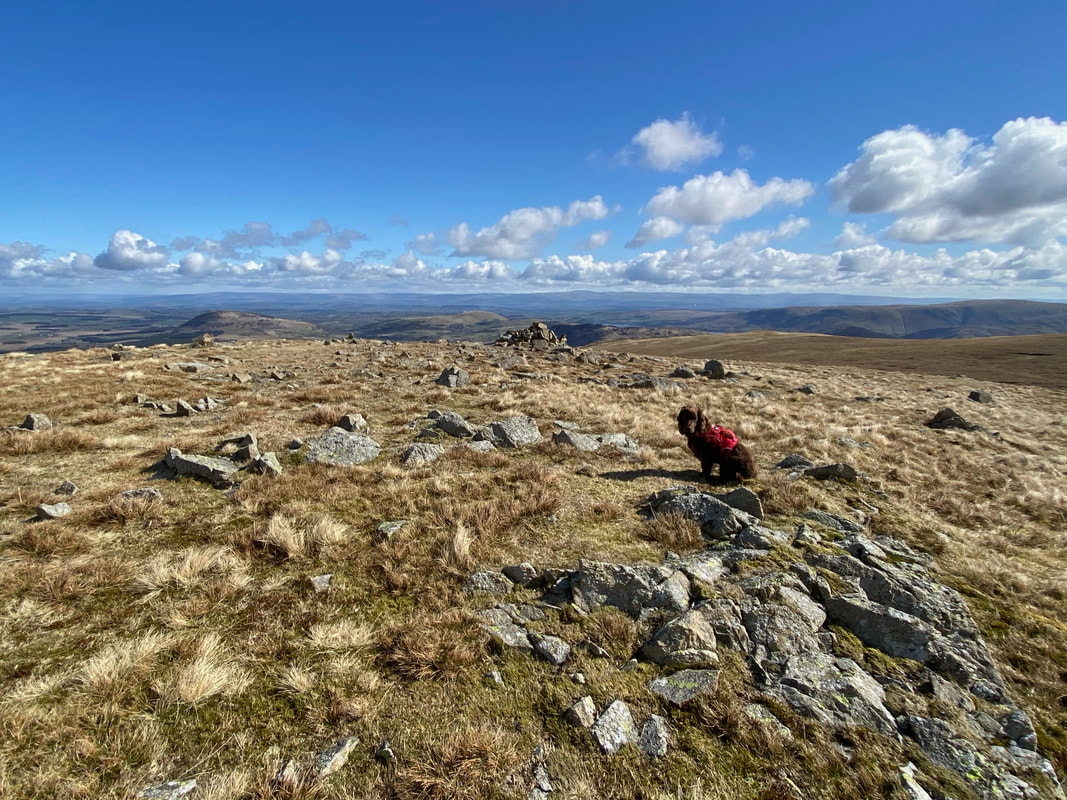
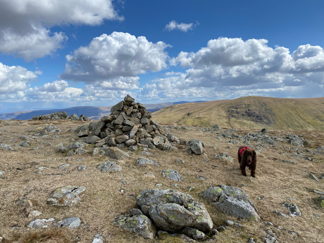
The summit Hart Side - lots of cairns & rocks about but Fudge is sat to the right of the highest point
The view from the summit of Hart Side (click Play to view)
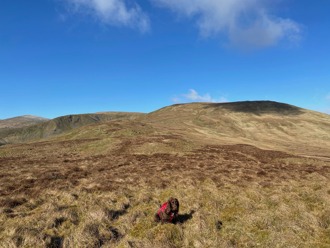
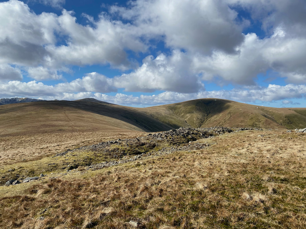
Green Side (White Stones), Stybarrow Dodd & Great Dodd from Hart Side
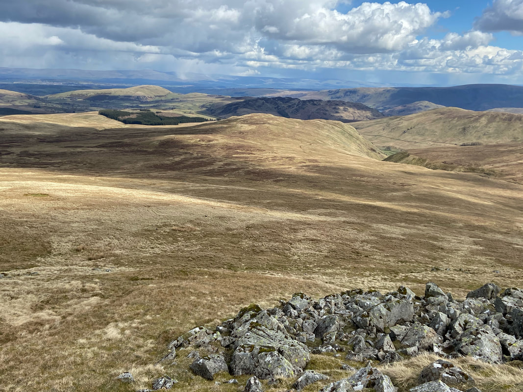
A few yards from Hart Side's summit is a cairn which gives an excellent view into Deepdale and our route of descent back to the start
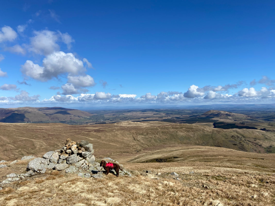
With Fudge at the cairn overlooking Deepdale - as you can see it was a beautiful day to be out on these wonderful fells
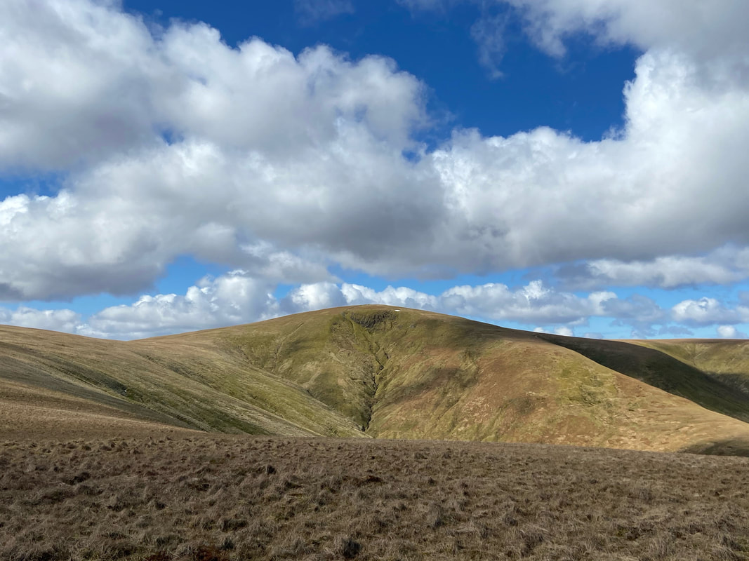
Great Dodd containing a very small patch of snow which believe it or not Fudge found later
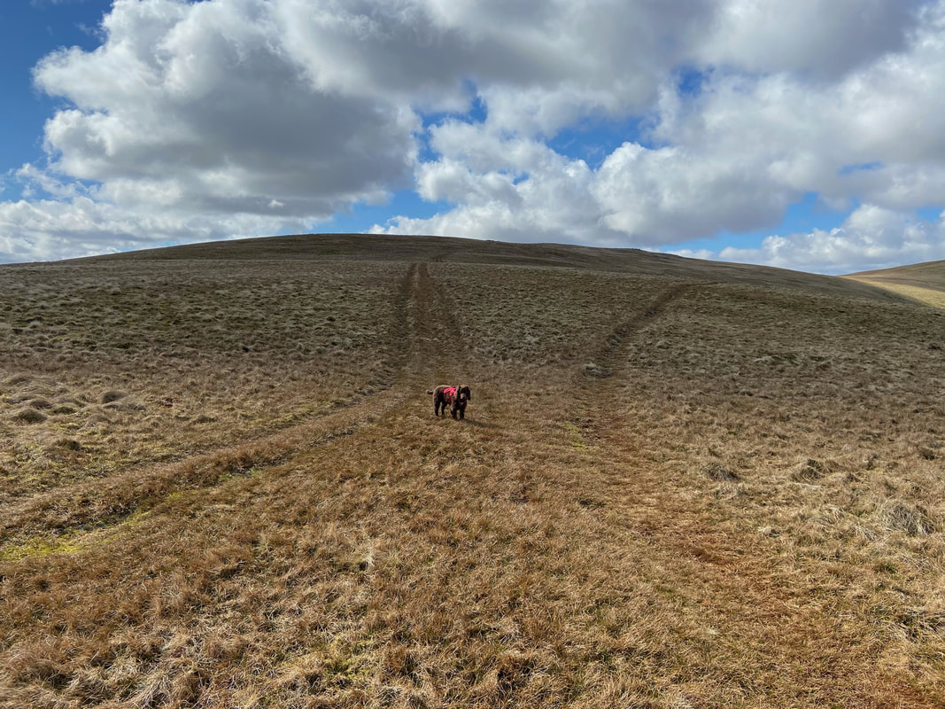
Decision time for Fudge - Green Side or Stybarrow Dodd? We went left to Green Side.
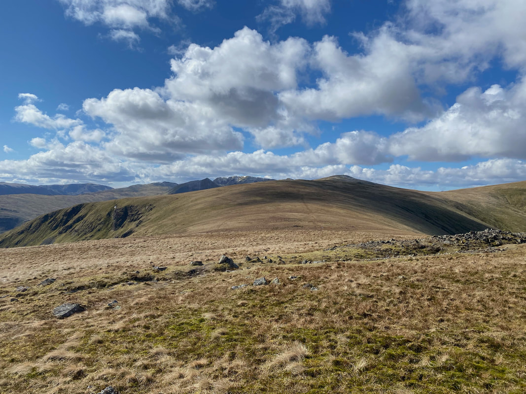
Looking back to Hart Side from the path to Green Side
The summit of Green Side with our path to Stybarrow Dodd visible ahead
Catstycam, Swirral Edge, Helvellyn & Raise from Green Side
Whilst there is a cairn adorning the top of Stybarrow Dodd it is not the highest point. It is 15m south east of the cairn and is being modelled once more.
The cairn on the summit plateau of Stybarrow Dodd with Watson's Dodd to the left & Great Dodd to the right. Skiddaw left & Blencathra to the right provide the backdrop.
Stybarrow Dodd gives a superb view over the western lakes
The path to Watson's Dodd
St John's in the Vale from Watson's Dodd with High Rigg in the left foreground
The summit of Watson's Dodd looking to Raise, White Side & Helvellyn
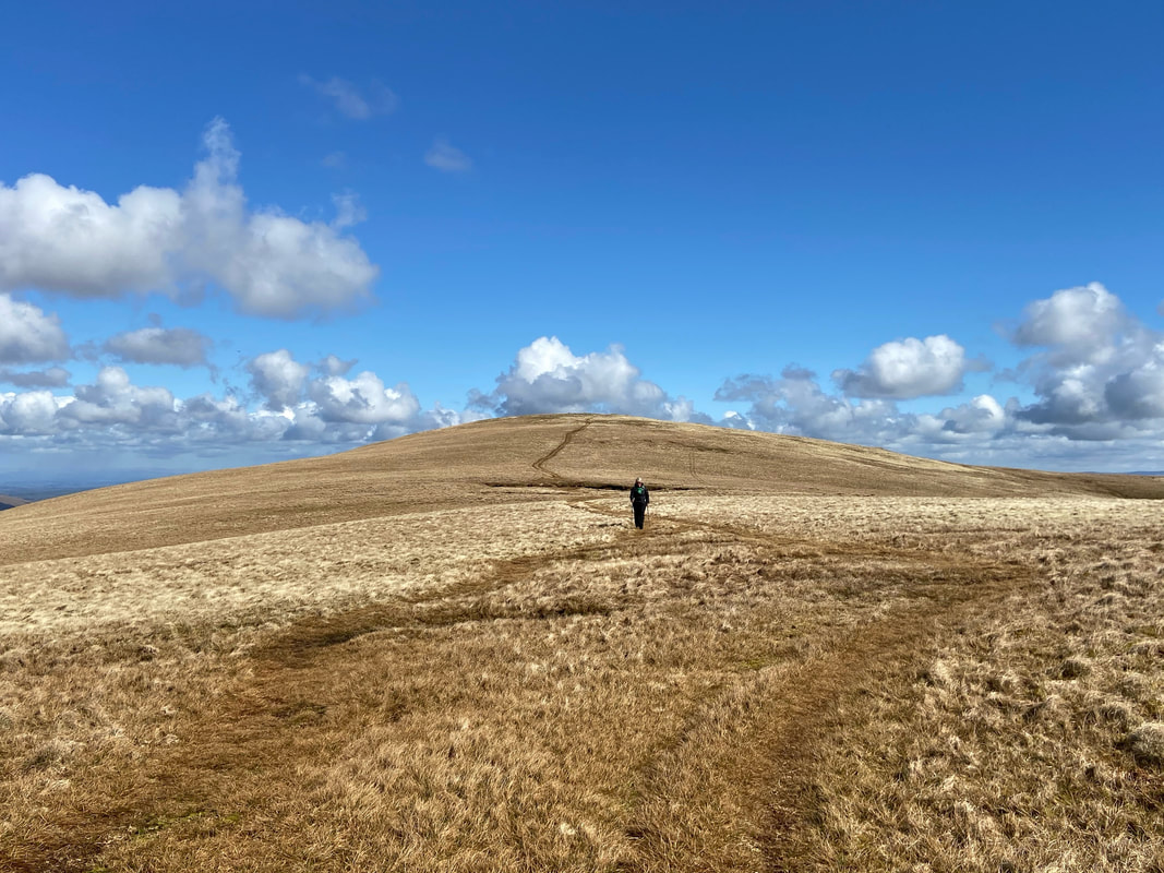
The path to Great Dodd as we leave Watson's Dodd
Instead of approaching Great Dodd direct, firstly we headed around Millgill Head to visit Little Dodd
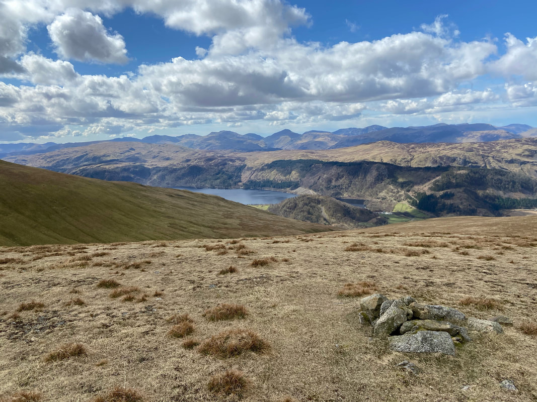
The summit of Little Dodd looking over Thirlmere
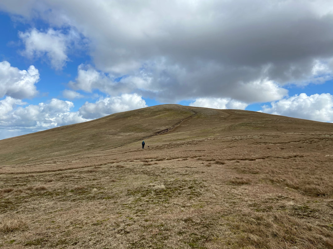
To reach Great Dodd, we headed east to join the main path between there & Clough Head
Despite the sunshine today it was still bitterly cold
Clough Head in the foreground with Skiddaw & Blencathra to the rear as we near the summit of Great Dodd
The large cairn on the summit plateau of Great Dodd
The highest point of Great Dodd is 30m SSE of the cairn and is marked by a few stones
Leaving Great Dodd for Lurgehill Head & Randerside
The summit of Randerside
Leaving Randerside we headed down to our final two summits of the day, High Brow & Low How
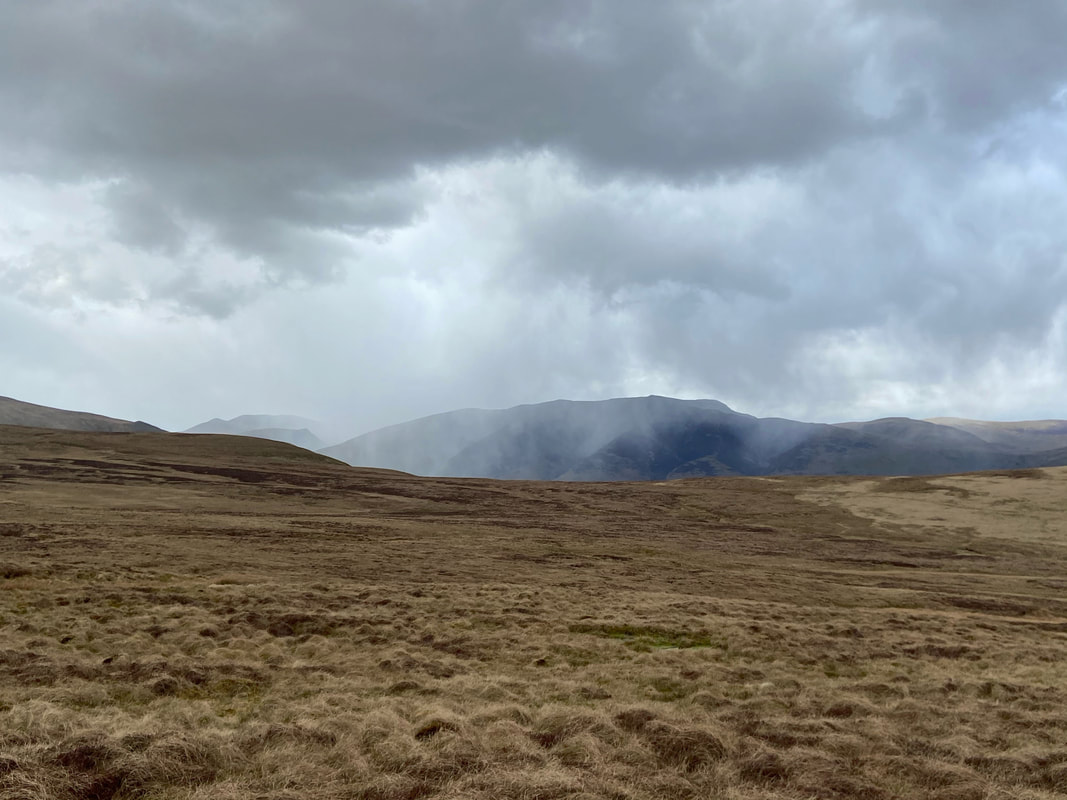
Looks like Blencathra was getting some ropey weather and I had a feeling it was coming our way too
The summit of High Brow with Gowbarrow Fell to the rear
The summit of Low How - come on Fudge lets get back down out of this eh?
Descending back to High Row through swirling snow after a cracking day out
