Scafell & Slight Side - Tuesday 30 May 2023
Route
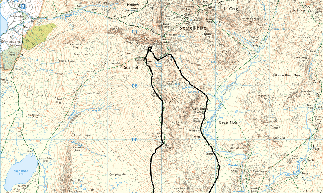
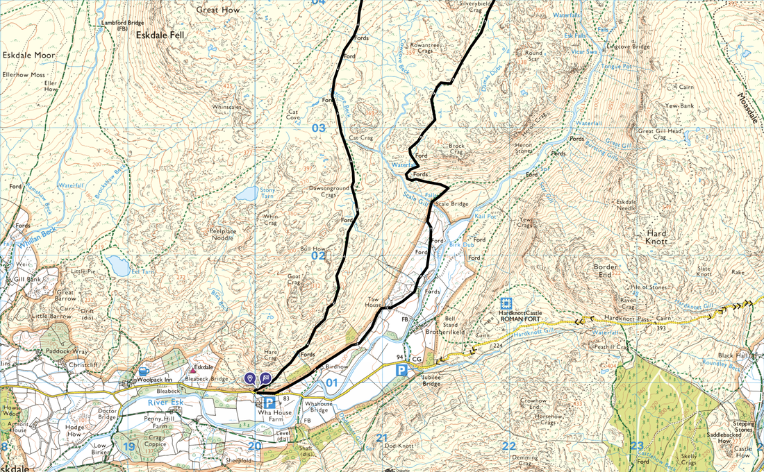
Wha House - Birdhow - Taw House Farm - Scale Bridge - Great Moss - Sampson's Stones - Cam Spout - Foxes Tarn Gully - Foxes Tarn - Symonds Knott - Scafell - Long Green - Slight Side - Catcove Beck - Wha House
Parking
Small parking area opposite Wha House Farm (Free) - Grid Ref NY199009. Nearest postcode is CA19 1TH.
Mileage
10.6 miles
Terrain
Good mountain paths for the most part. The ascent of Foxes Tarn Gully is steep with some scrambling required over large boulders. The ascent from Foxes Tarn to the col between Symonds Knott & Scafell is also steep and over loose scree therefore care needs to be taken.
Weather
Gloriously sunny and warm with the odd light breeze
Time Taken
7hrs 25mins
Total Ascent
3192ft (973m)
Wainwrights
2
Map
OL6 - The English Lakes (South Western Area)
Walkers
Dave, Angie & Fudge
|
GPX File
|
| ||
If the above GPX file fails to download or presents itself as an XML file once downloaded then please feel free to contact me and I will send you the GPX file via e-mail.
Route Map
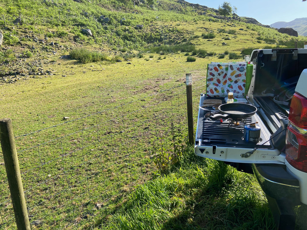
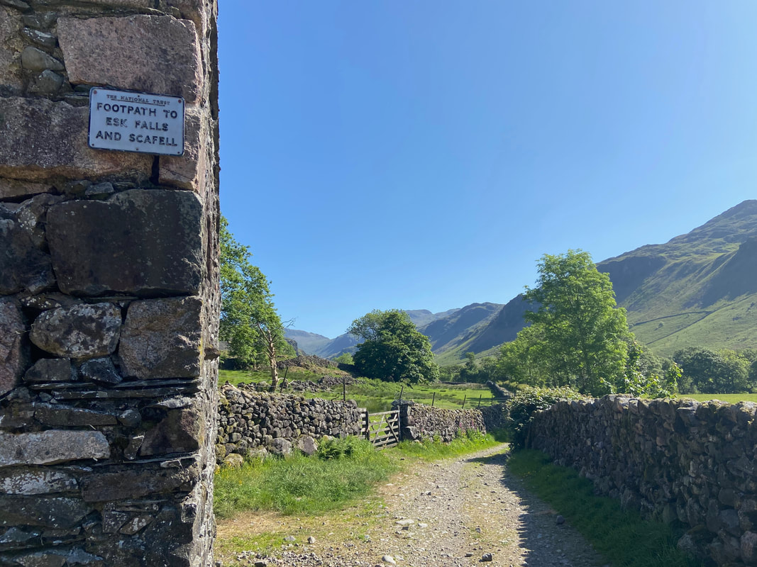
Early doors at Wha House and Walshy's Kitchen was open for business. On the menu today were Bacon & Egg Pittas.
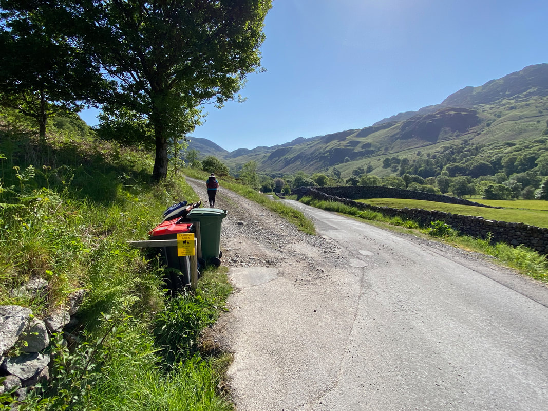
After 175 yards heading east along the road, a track leaves on the left towards Taw House Farm
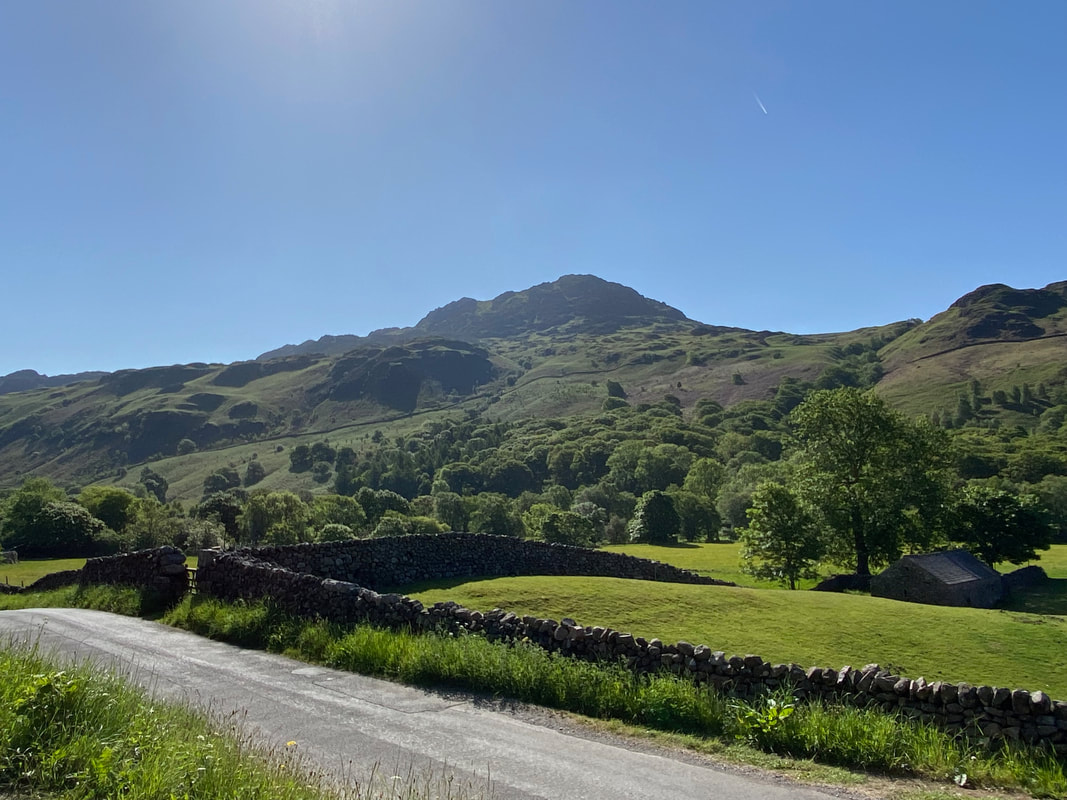
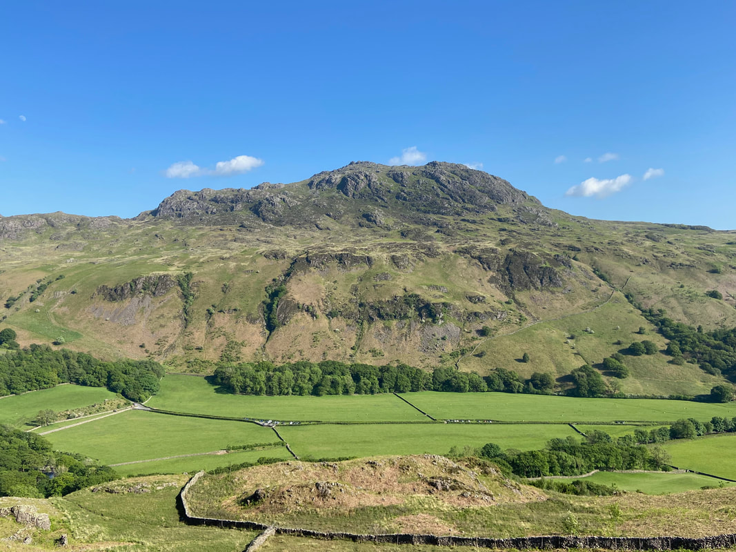
Harter Fell from the access track to Taw House
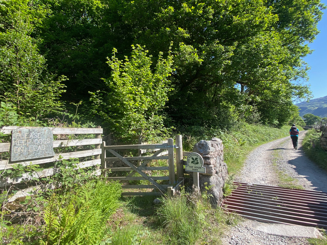
Continuing along the access track the route passes over a cattle grid via a hand gate near Birdhow
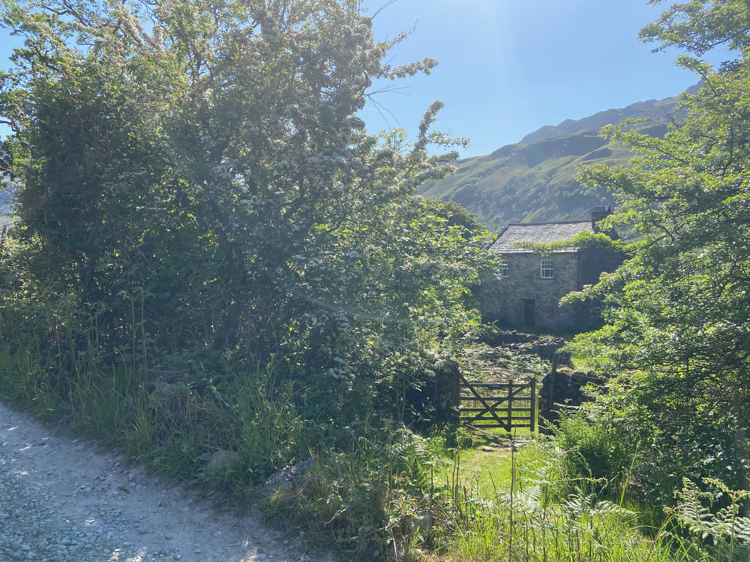
Birdhow
The cottage is owned by the National Trust and can be hired as a holiday let - be warned though, it has no bathroom and all washing ablutions have to be done in the kitchen sink!!
The cottage is owned by the National Trust and can be hired as a holiday let - be warned though, it has no bathroom and all washing ablutions have to be done in the kitchen sink!!
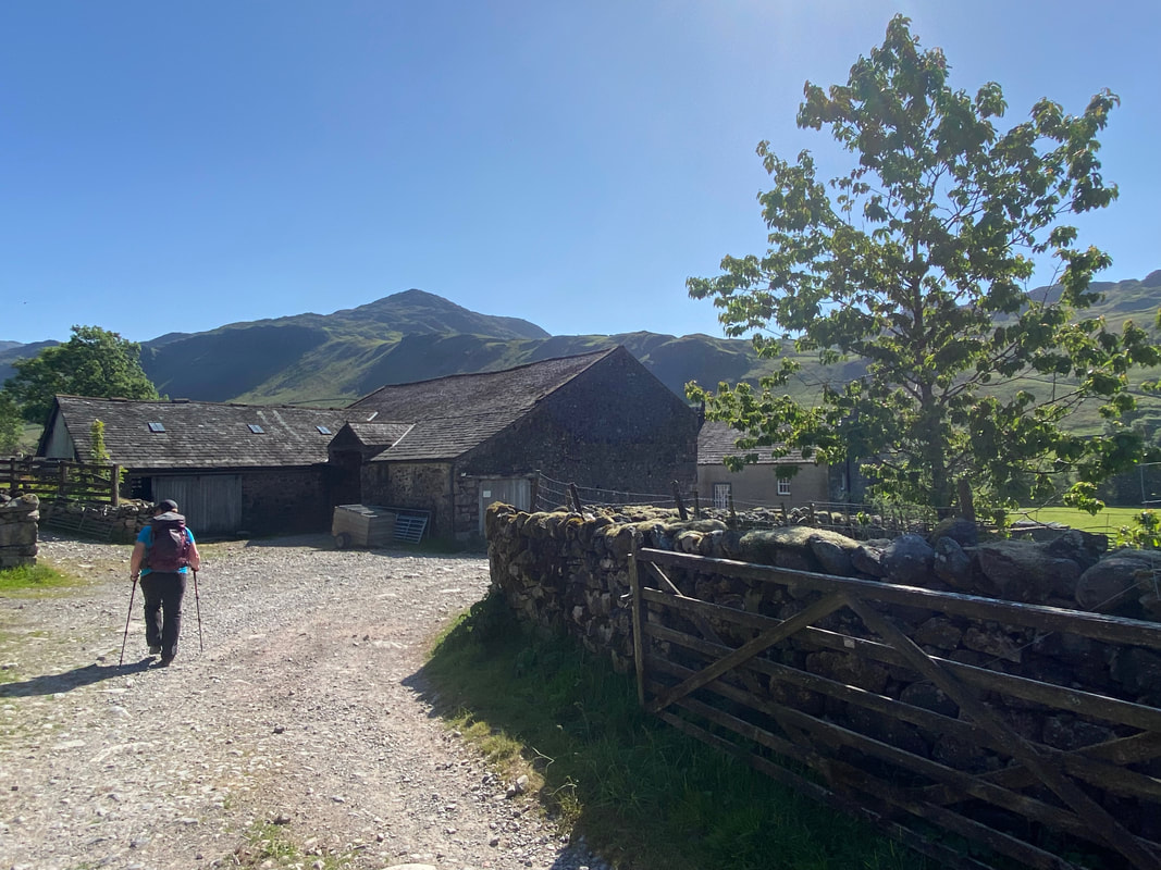
Passing through Taw House Farm
At the other end of the farm, the track continues on between field walls
Free of the walls the track continues towards Scale Bridge - the fell up ahead is Brock Crag
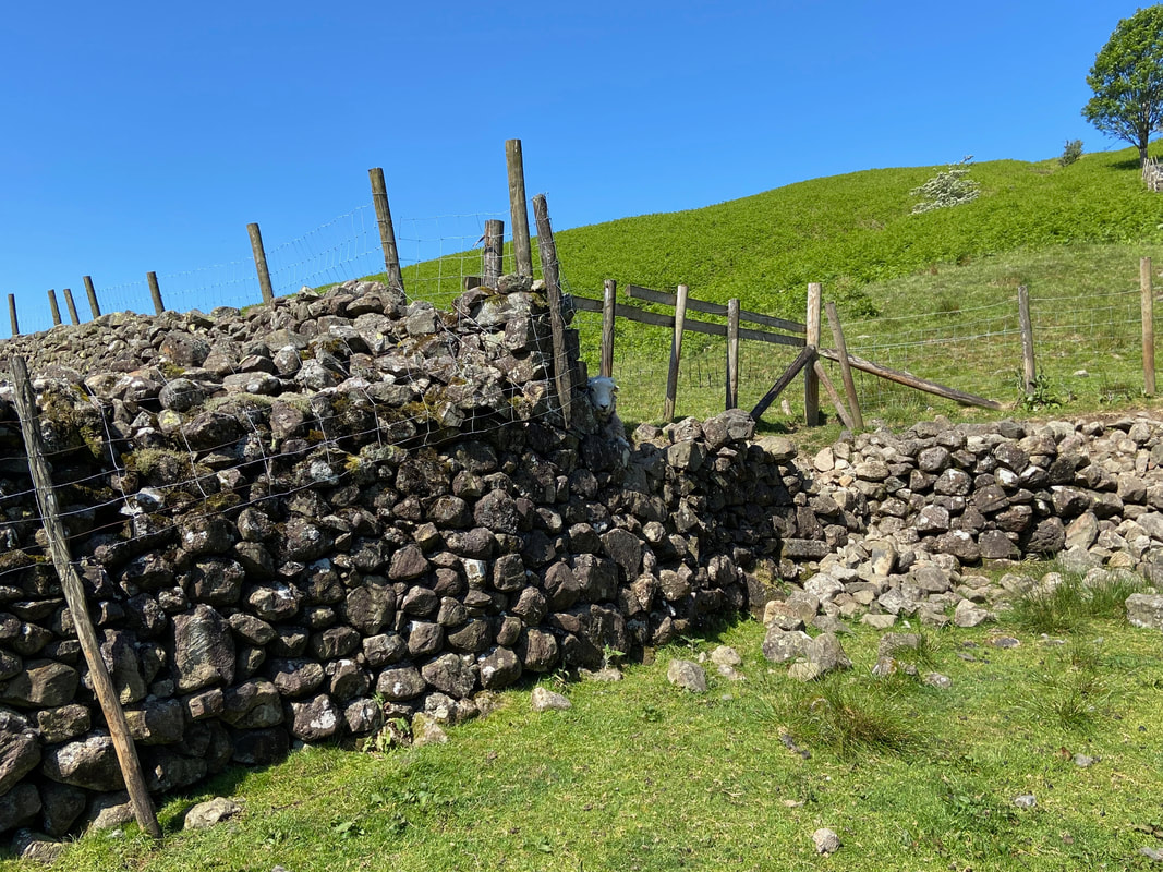
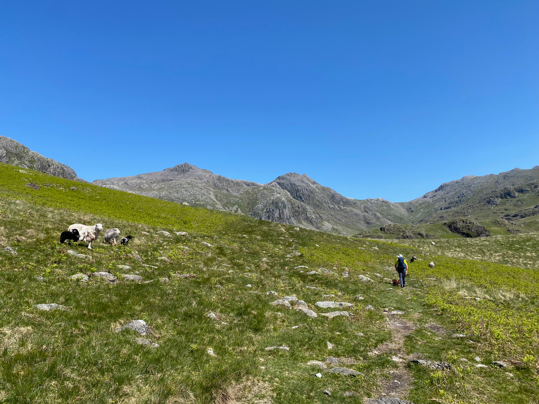
Continuing along the track we passed a contestant in the Eskdale Sheep Hide & Seek Championships
The falls of Scale Gill at Scale Bridge
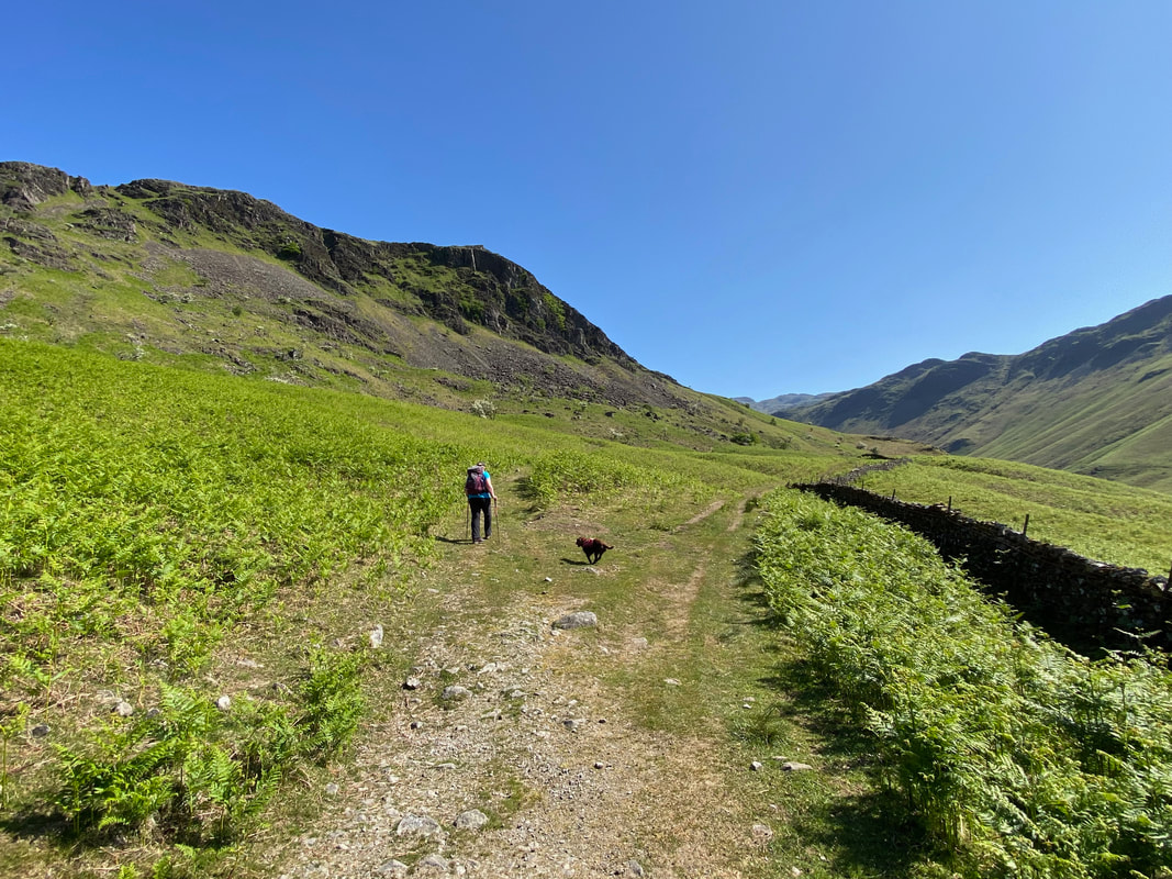
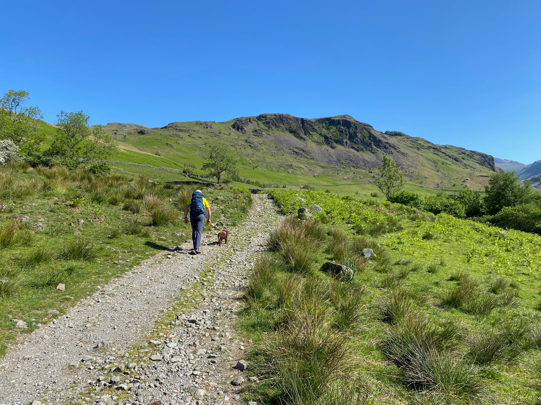
Approximately 200 yards after Scale Bridge the path splits. Our route was through the low bracken to the left whilst the farm track continues on in the direction of Lincove Bridge. The path through the bracken soon swings around to the left to pass below Brock Crag.
A path has been cut through the bracken and climbs gently below Brock Crag. To the rear are Yew Crags with Border End on Hard Knott beyond.
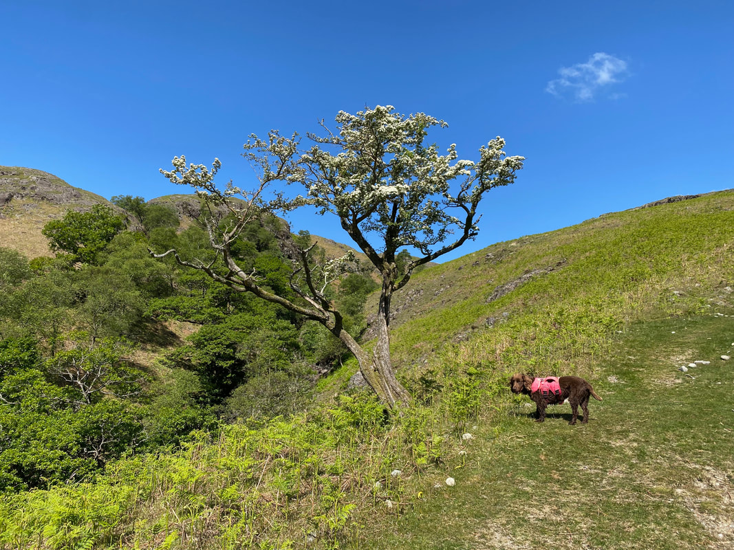
Fudge pauses for a breather below what I think is a Rowan Tree. I'm no Percy Thrower therefore feel free to correct me if I am wrong.
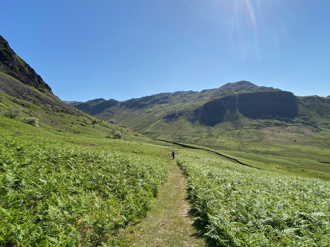
Three in a row as we head up through Eskdale to Great Moss - Slight Side, Scafell Pike & Ill Crag
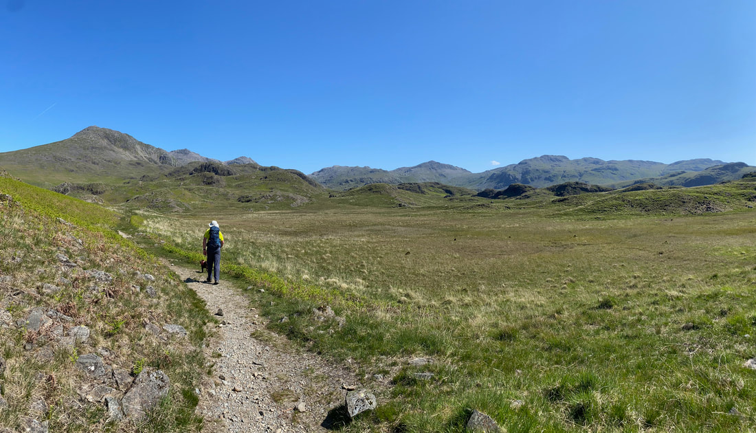
A panorama of fells from the approach to Great Moss - Slight Side, Scafell Pike, Ill Crag, Esk Hause, Esk Pike, Bowfell & Crinkle Crags
The view from the approach to Great Moss plus Fudge looking indignant when the camera pans away from him.
(Click Play to view)
(Click Play to view)
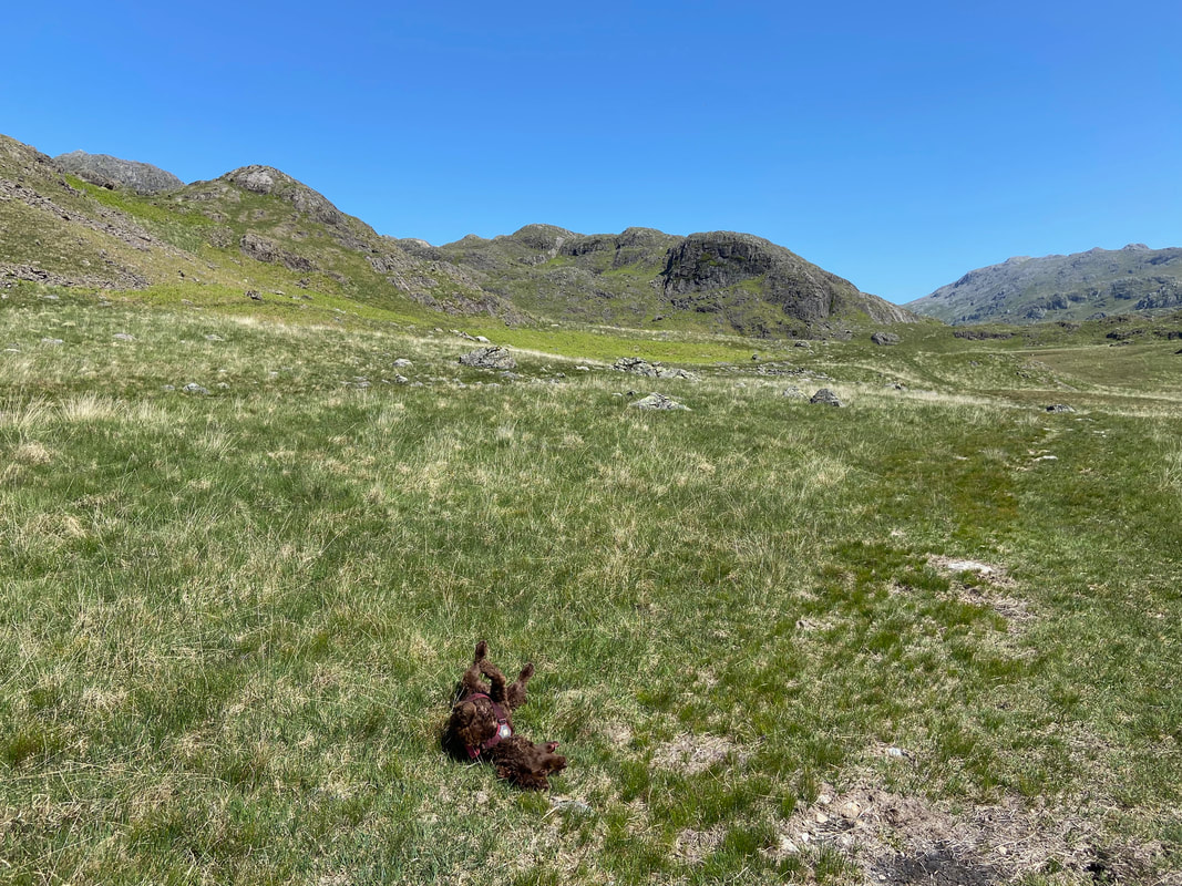
Always time for an arse about eh Fudge?
Esk Hause now in full view right of centre as is Central Pillar & Pen below Scafell Pike
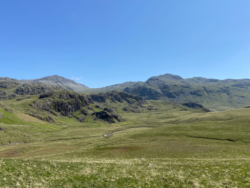
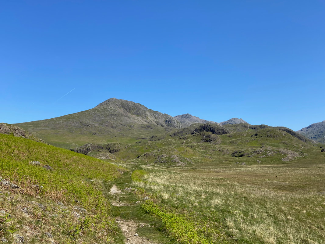
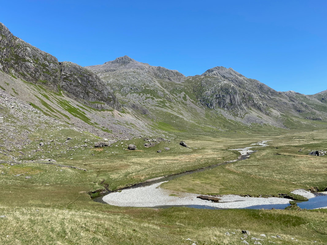
Bowfell & Crinkle Crags over Great Moss with the River Esk below
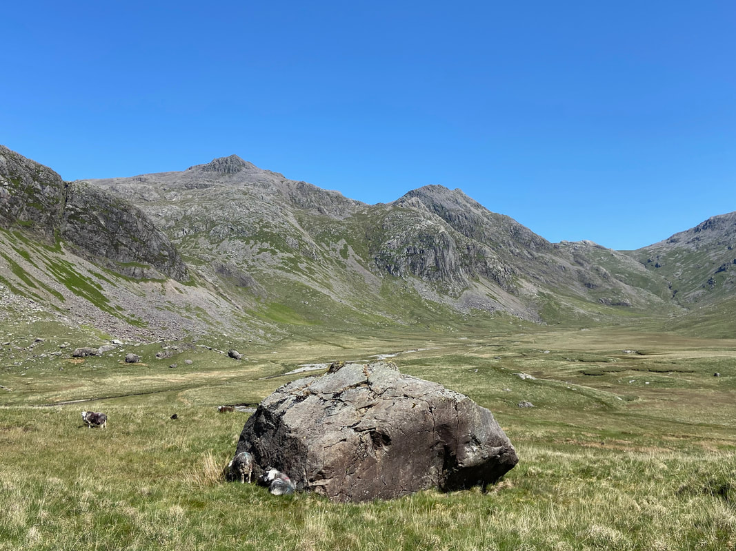
At Great Moss the path heads to the left to then swing back around to the right to reach Sampson's Stones which can be seen below Cam Spout Crag on the left
The path becomes slightly intermittent as it swings left but soon reappears when it turns to the right
Approaching Sampson's Stones with the River Esk below
Sampson's Stones. The stones are a group of erratic boulders and are used by climbers as a bouldering circuit with one of the climbs humorously known as "Crater Face"
Cam Spout Crag
Continuing on through Great Moss below Cam Spout Crag. We were now heading to the foot of Cam Spout which is out of sight on the left. Scafell Pike, Pen & Esk Buttress dominate the view.
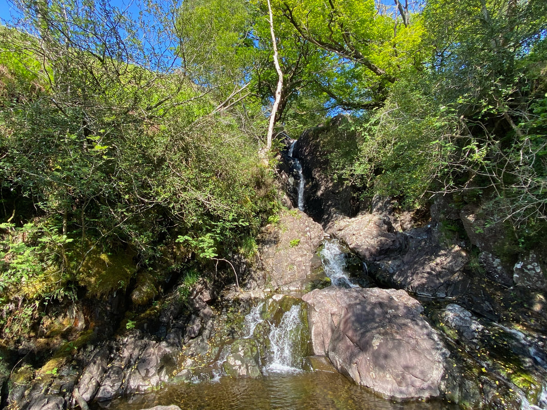
Esther Williams aka Fudge has a nice cool dip in his own private plunge pool at the foot of Cam Spout (Click Play to view)
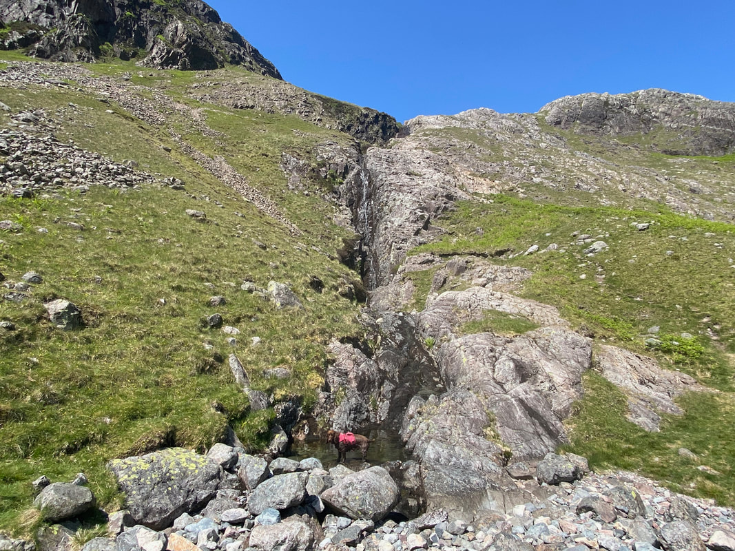
The foot of Cam Spout - the path heads up to the right of the waterfall
The ascent of Cam Spout follows a good path for the first 50 yards or so then becomes an easy & enjoyable scramble over rock
Meanwhile Fudge had found another pool to lounge about in - this time at the base of the main waterfall
Scafell (& Fudge) now in view as we crest the scramble
Angie contemplates the way up over the rocky scramble as I use photography as an excuse to take a welcome breather
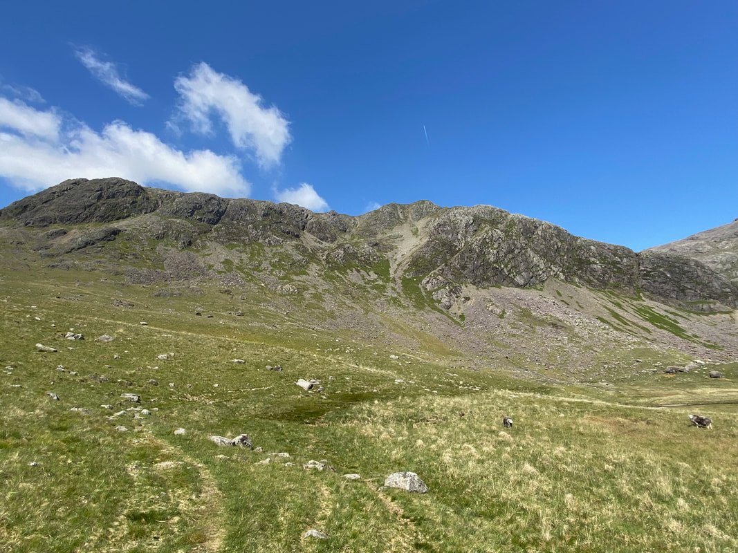
At the top of the rocky scramble at How Beck the gradient eased and afforded us the glorious view over Great Moss to Crinkle Crags and the Coniston Fells
The path continues above How Beck as Fudge waits for the command from me to commence more arsing about in the beck
Someone was having a great time today
Broad Stand now in view on the right as we progress up the valley towards Mickledore
The look we get from Fudge when progress up the fell side is not as fast as he would like
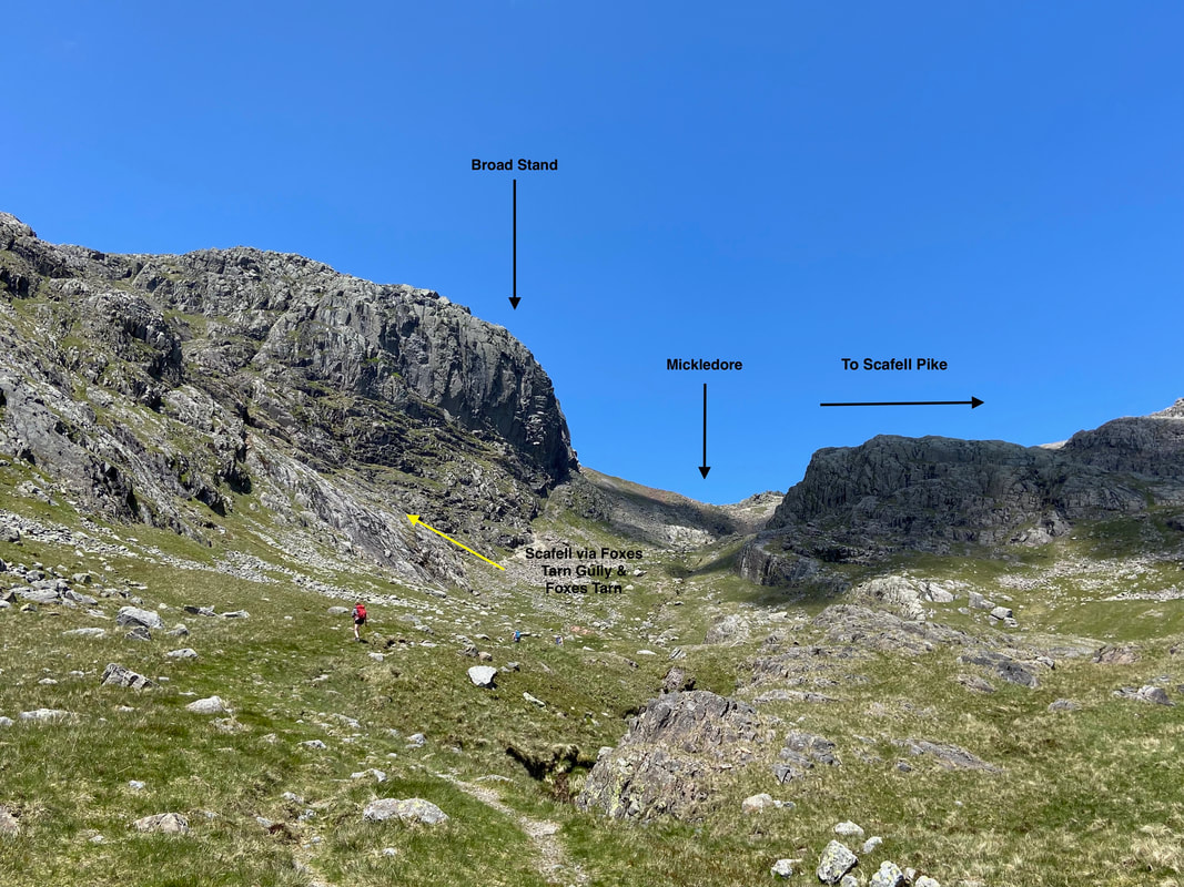
Broad Stand & Mickledore
Mickledore is the name of the ridge that links Scafell & Scafell Pike. Access can be gained easily enough to Scafell Pike by turning right on the ridge at the Mountain Rescue Stretcher Box and heading gently up the stone path to gain the Roof of England. However coming the other way from Scafell Pike to Scafell and the walker is barred from a direct ascent to Scafell by the rocky, steep buttress of Broad Stand. Unless you are an experienced climber with the right kit then on no account attempt to ascend Scafell via Broad Stand - it is strictly off limits to walkers and any ascent should be made either via Rake's Progress then Lord's Rake or the route shown below via Foxes Tarn. Wainwright reiterates the perils of ascending Broad Stand in Book 4 (Scafell 4).
Mickledore is the name of the ridge that links Scafell & Scafell Pike. Access can be gained easily enough to Scafell Pike by turning right on the ridge at the Mountain Rescue Stretcher Box and heading gently up the stone path to gain the Roof of England. However coming the other way from Scafell Pike to Scafell and the walker is barred from a direct ascent to Scafell by the rocky, steep buttress of Broad Stand. Unless you are an experienced climber with the right kit then on no account attempt to ascend Scafell via Broad Stand - it is strictly off limits to walkers and any ascent should be made either via Rake's Progress then Lord's Rake or the route shown below via Foxes Tarn. Wainwright reiterates the perils of ascending Broad Stand in Book 4 (Scafell 4).
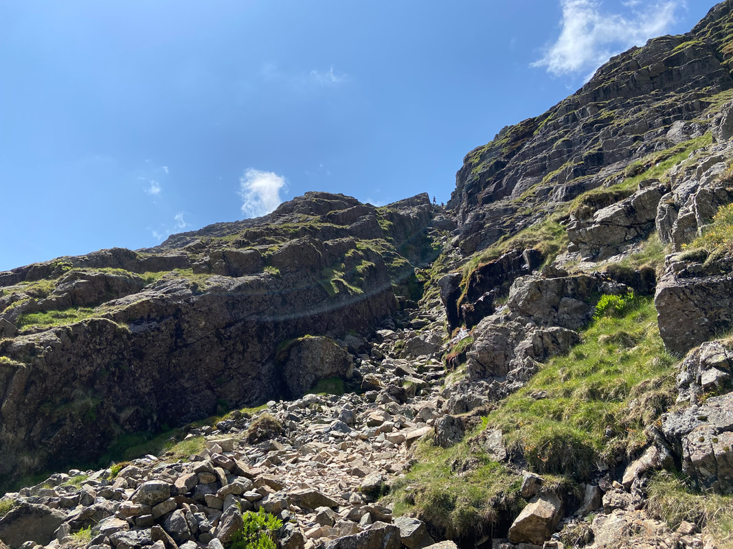
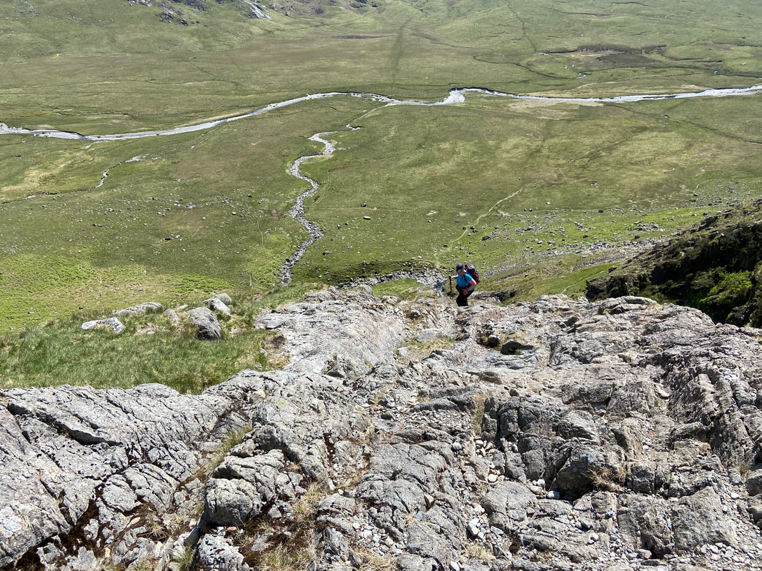
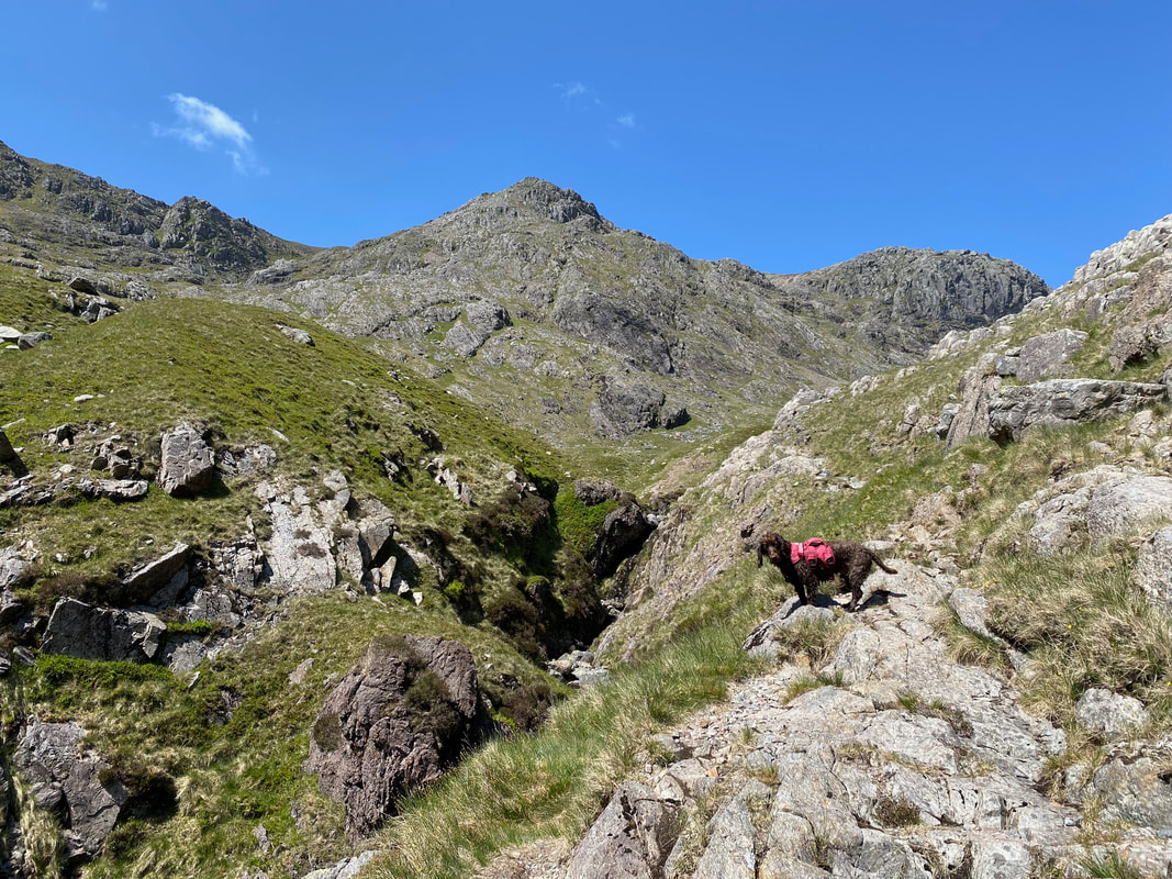
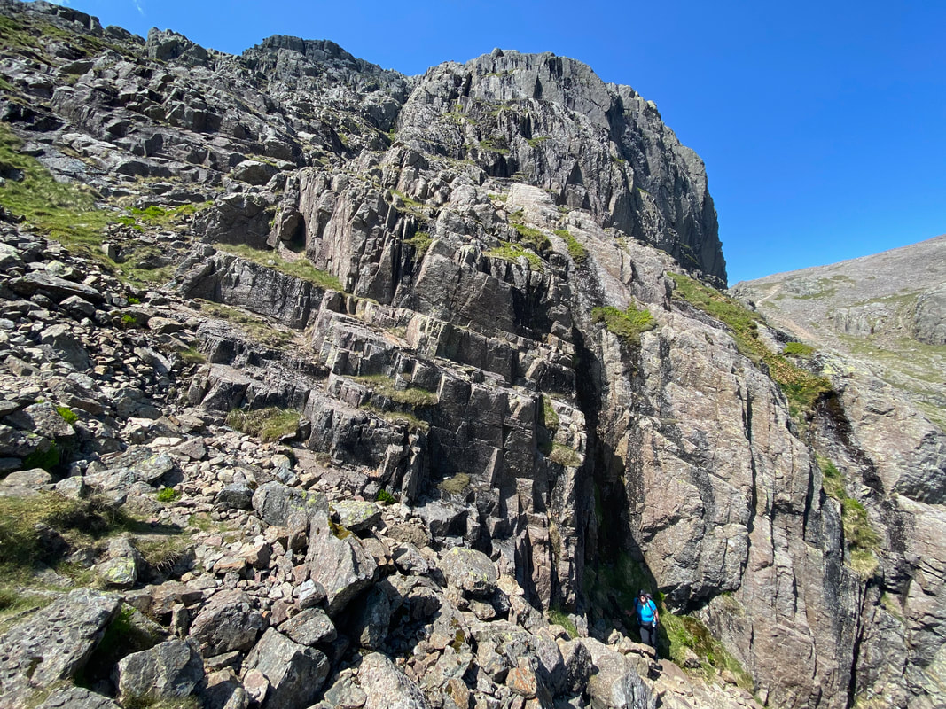
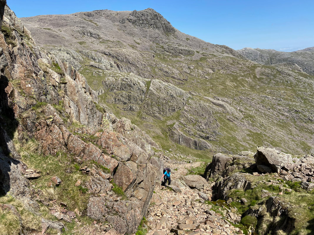
The base of Foxes Tarn Gully accessed via a short detour to the left from the main Mickledore path coming up from Cam Spout. The base of the gully can be found at Grid Reference NY 21090 06595.
The scramble up the gully is exhilarating and not overly difficult, however if descending via this route it is just as enjoyable - just take your time. Walkers can just about be seen making their way down - we waited for them to descend prior to ascending ourselves.
Scafell Pike from the base of Foxes Tarn Gully with Mickledore over to the left
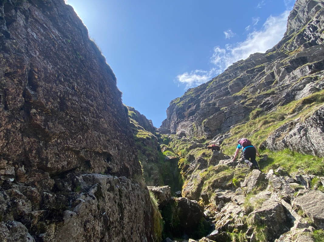
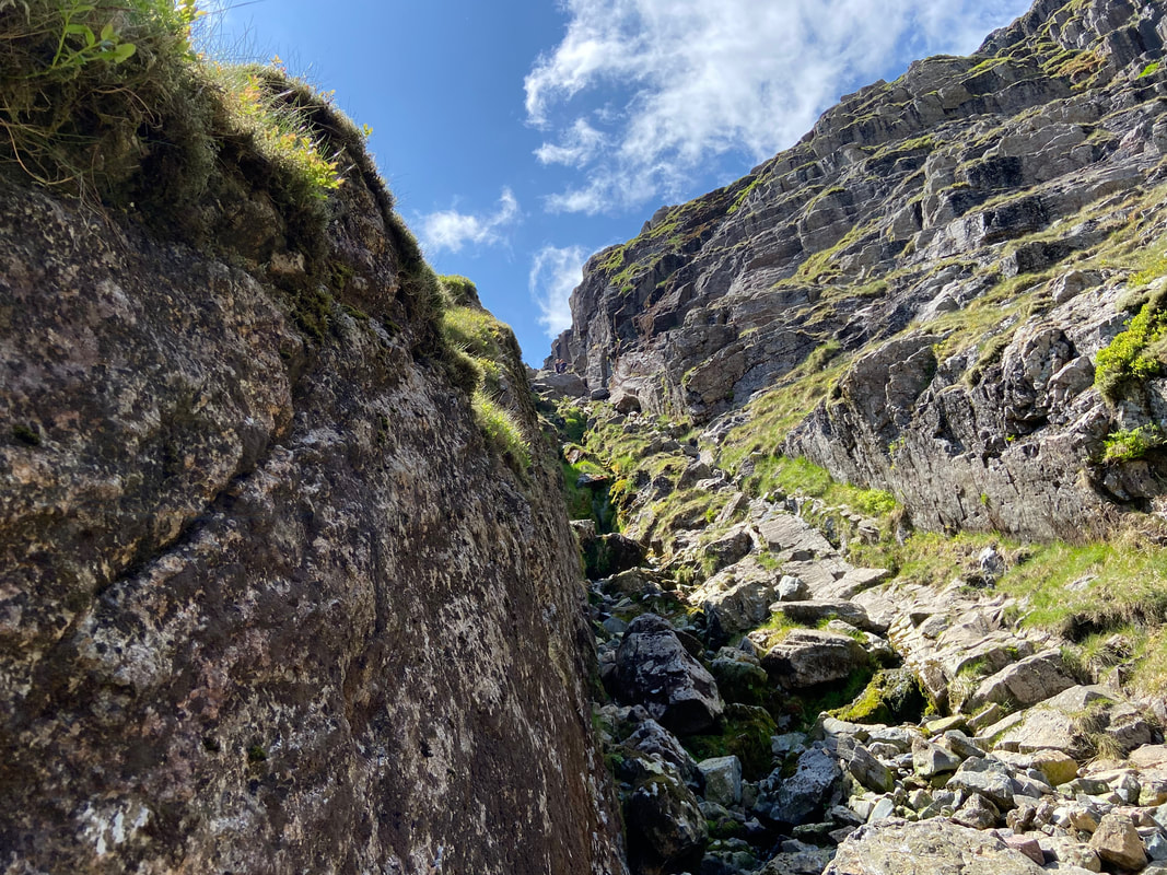
Up we go with Fudge leading Angie on - the route is obvious enough, just don't overthink it
Looking down to the base of the gully
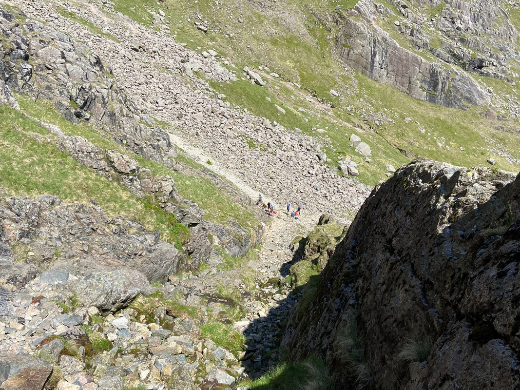
The walkers we waited for at the base of the gully - they were off to Scafell Pike
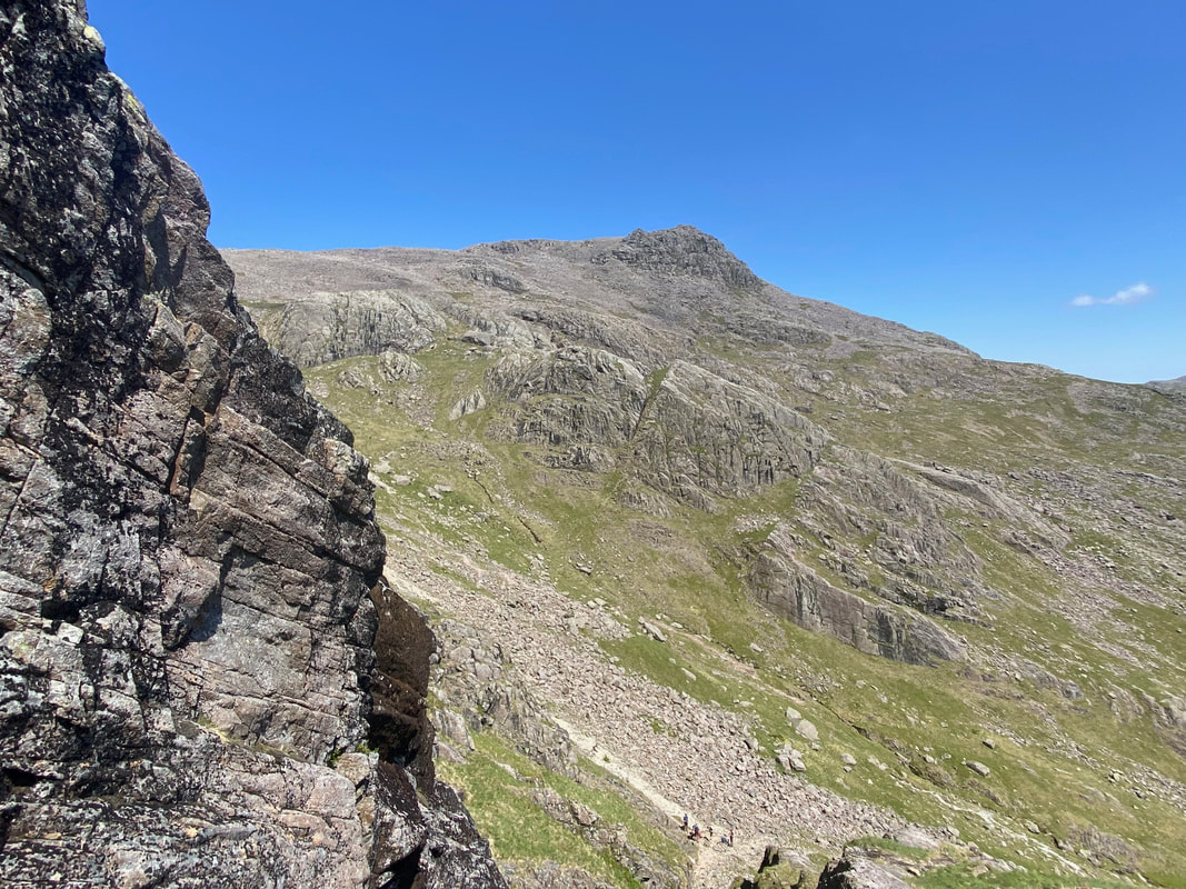
Another view over to Scafell Pike from about half way up the gully
Angie seeks a bit of shade as we continue the scramble up the gully
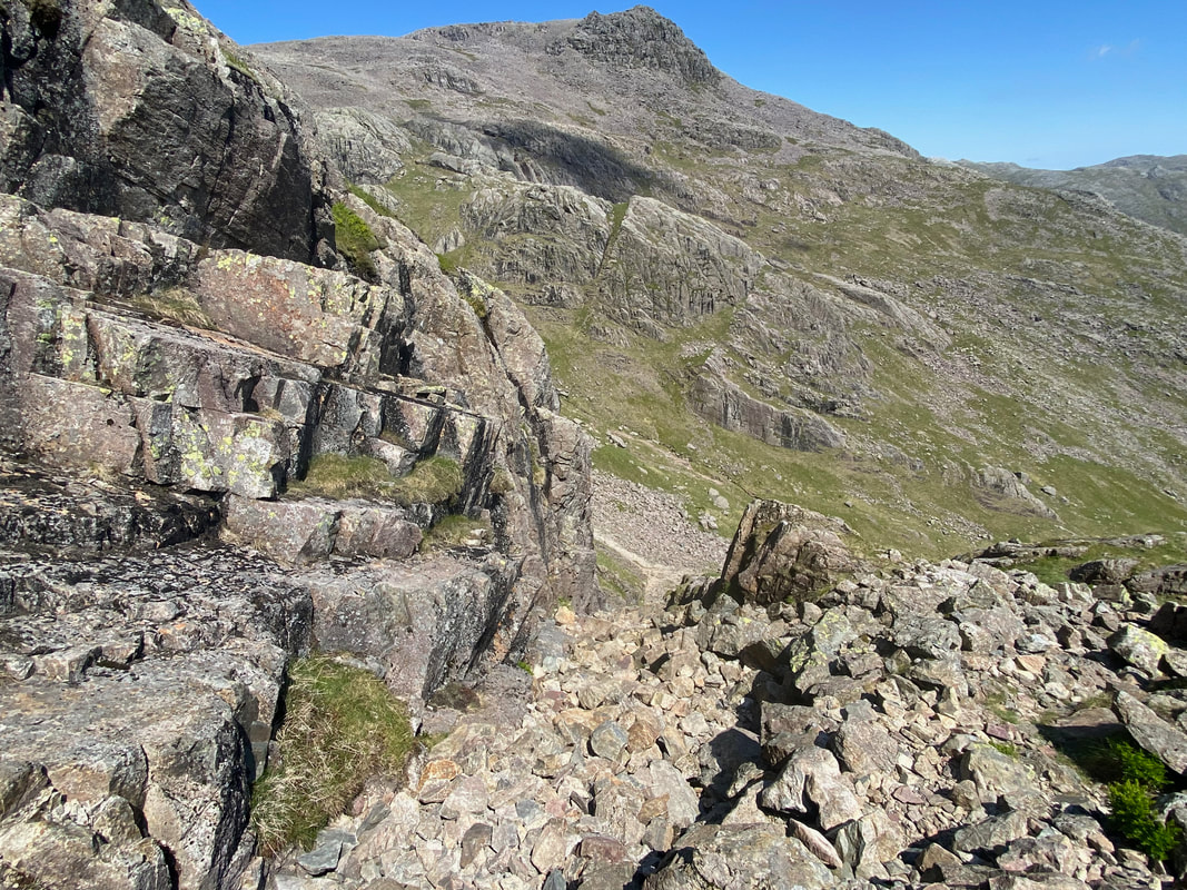
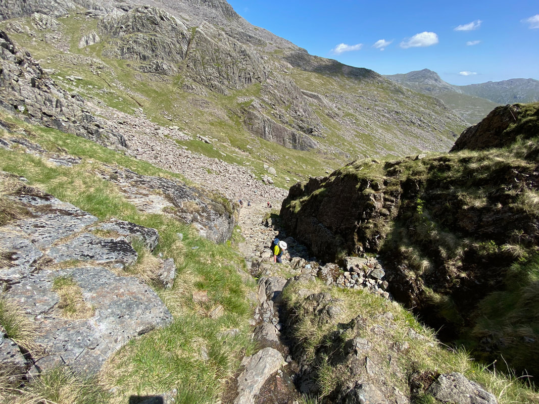
At the top of the gully the path becomes rougher
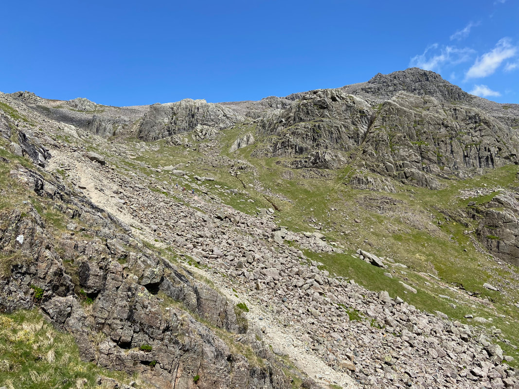
Exiting the steep sides of the gully the vista opens out once more and Bowfell & Crinkle Crags come back into view
The rest of the ascent from the top of the gully - Foxes Tarn is around the bend to the right
Just before reaching Foxes Tarn the path passes through a rock gateway
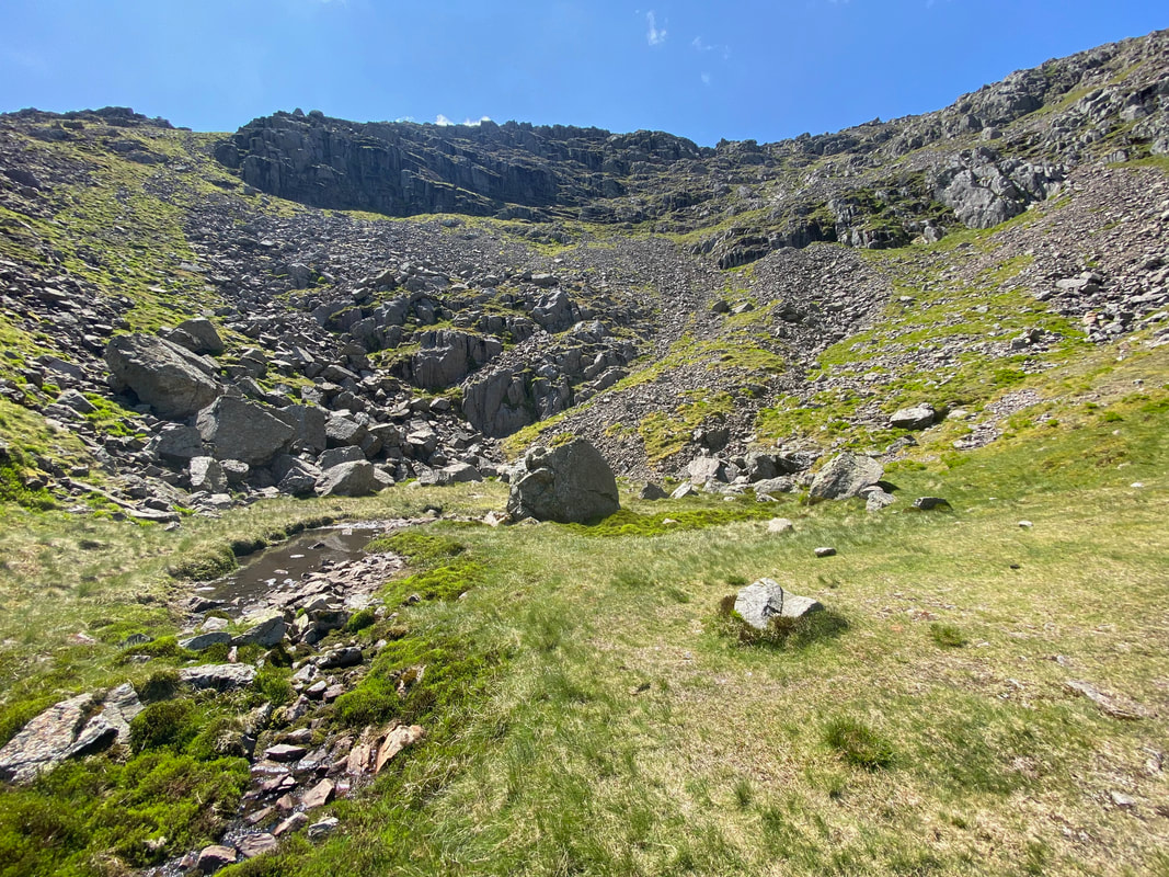
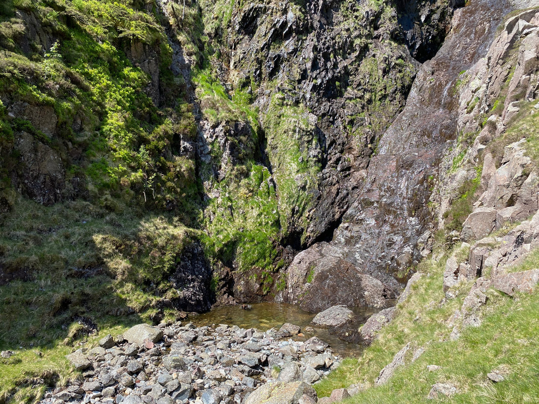
Foxes Tarn - yes, that's it on the left
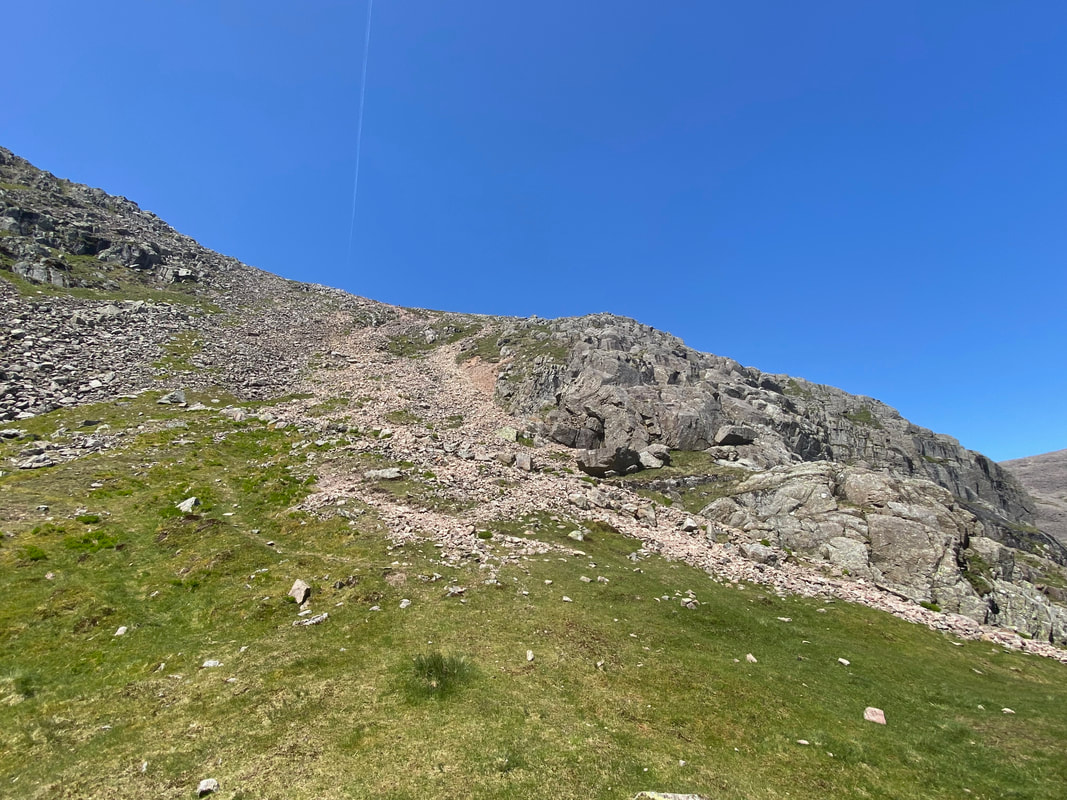
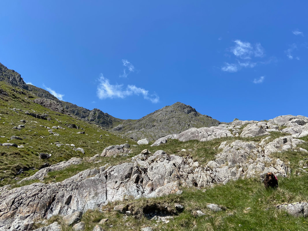
The path from Foxes Tarn up to the saddle between Scafell & Symonds Knott. The path is steep and rough therefore care needs to be taken.
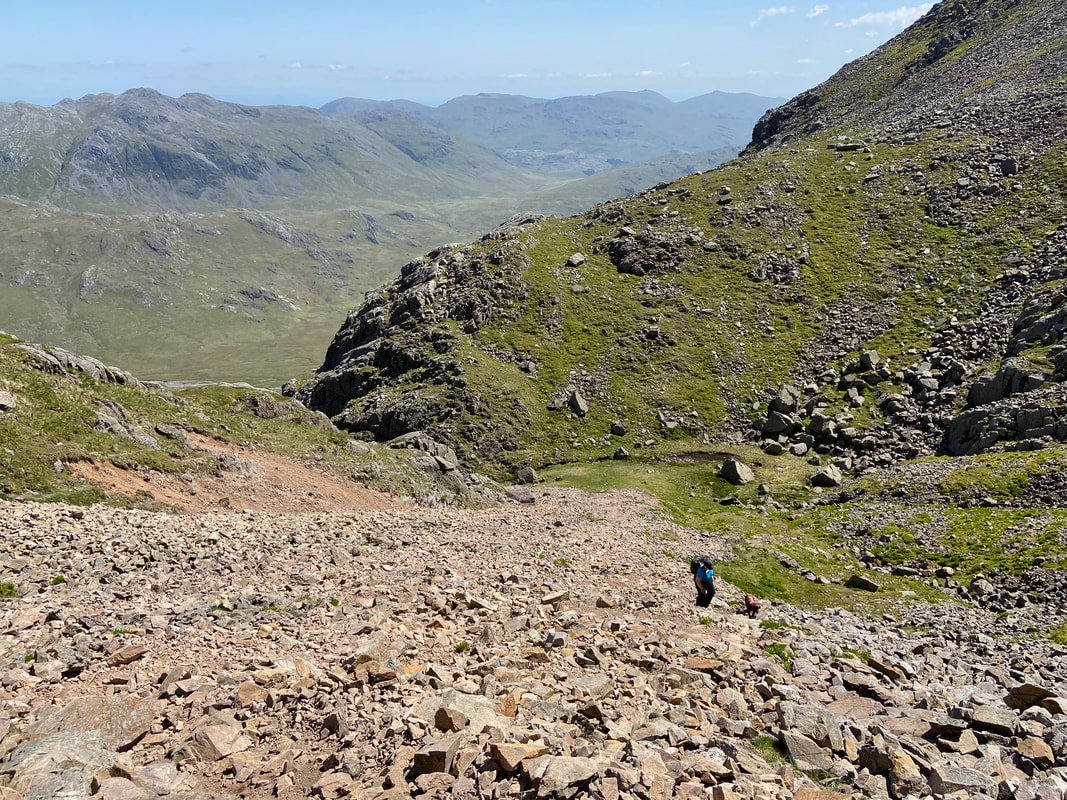
Looking down to Foxes Tarn from about half way up the scree slope
Scafell Pike & Bowfell from the Foxes Tarn path
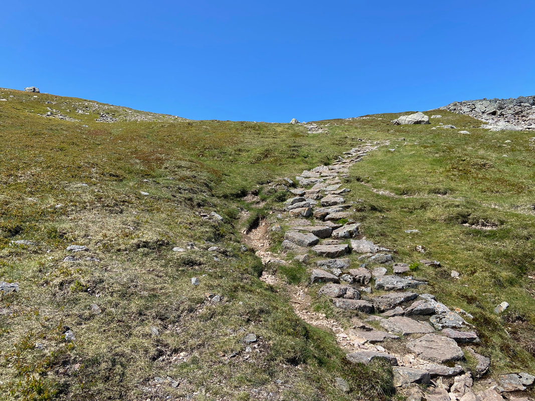
Approximately 100 yards from the col the path becomes pitched and therefore easier going
A breather for Angie as she reaches the latter part of the scree slope
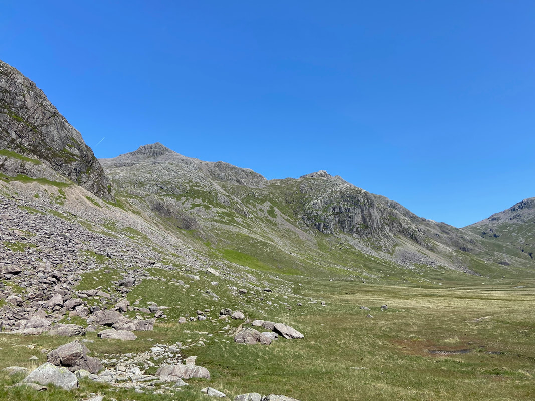
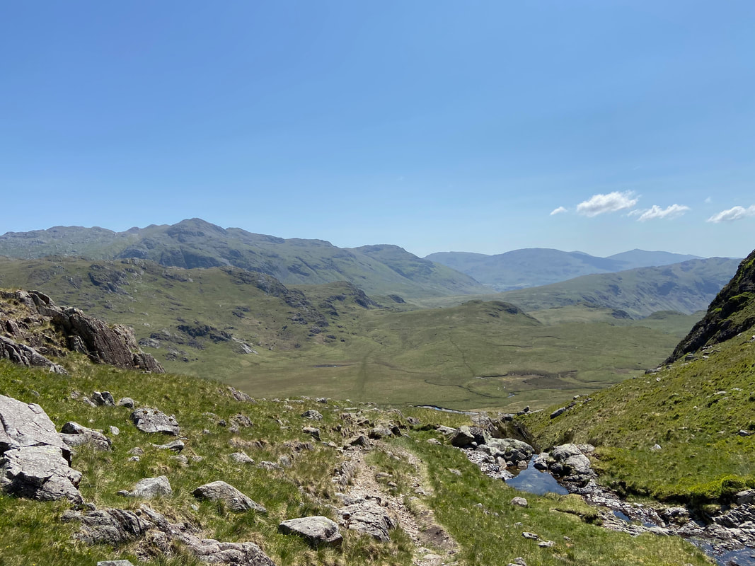
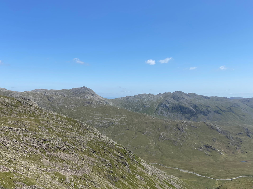
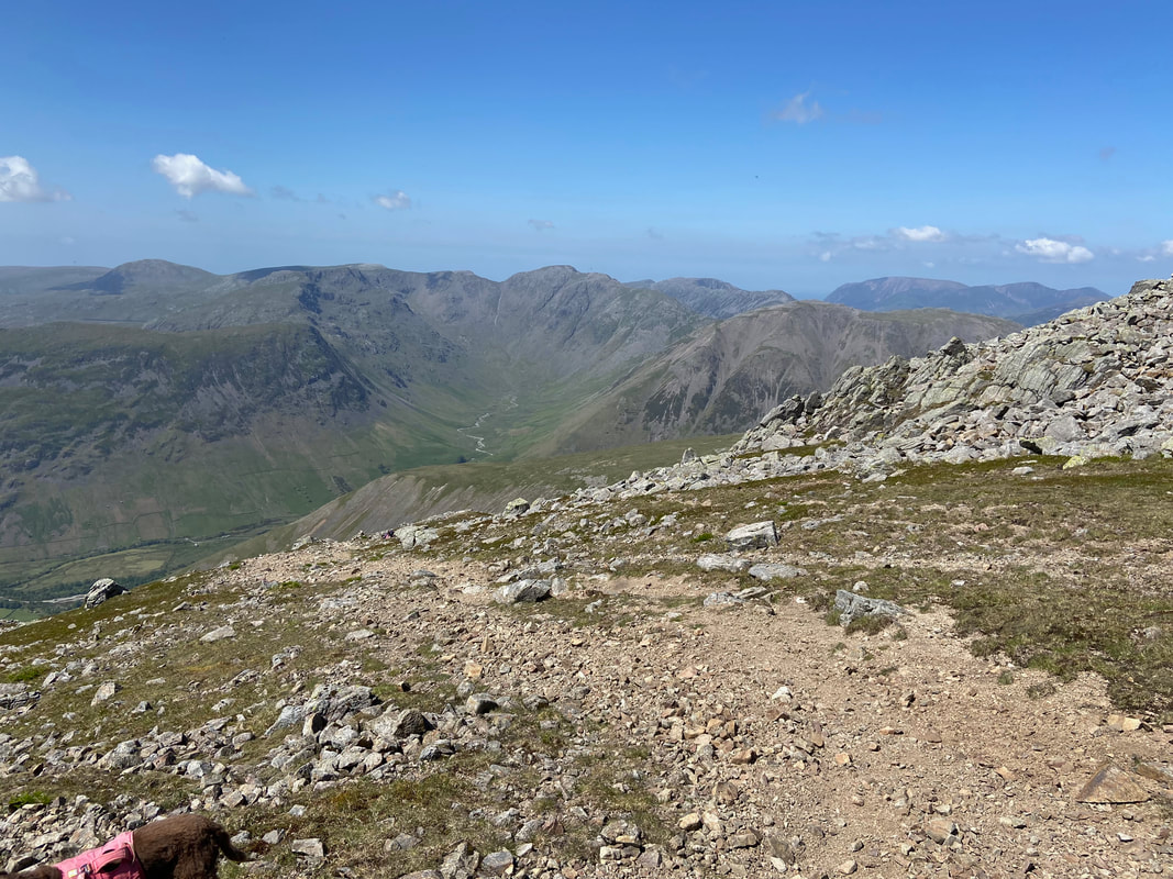
Bowfell & Crinkle Crags across the upper reaches of Eskdale
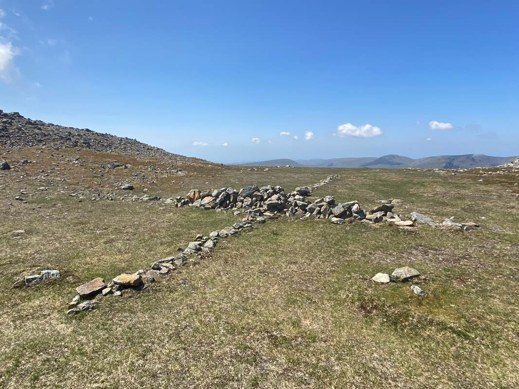
The cross of stones that sits in the saddle between Scafell & Symonds Knott
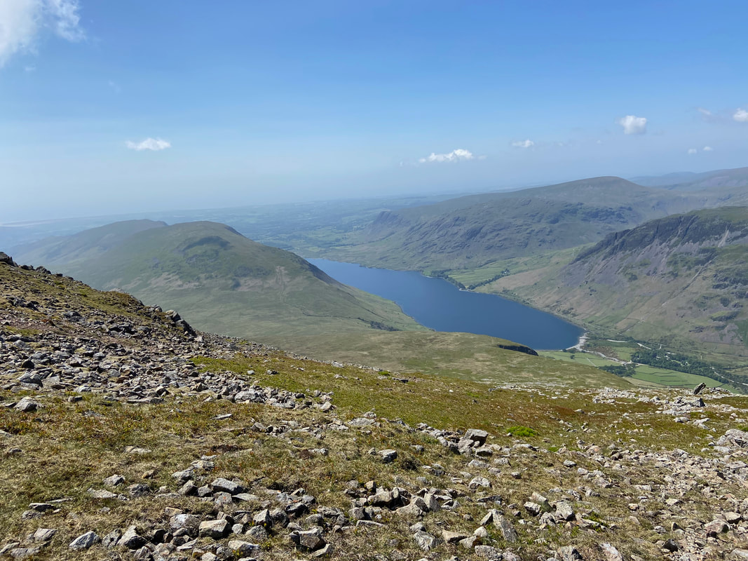
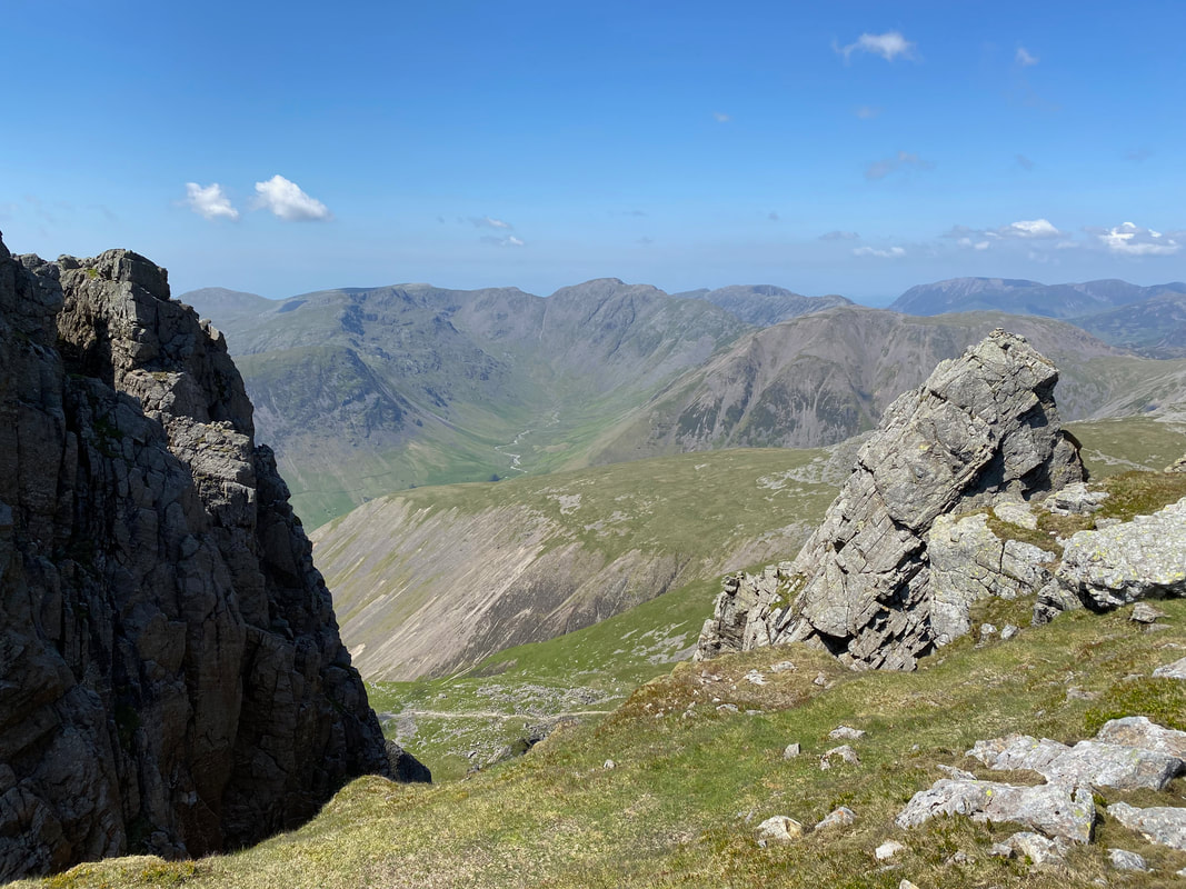
Wastwater from the saddle with Illgill Head & Whin Rigg to the left and Buckbarrow, Middle Fell, Seatallan & Yewbarrow to the right
Fudge's backside photo bombs the shot as we look to Mosedale down the path that comes up from Lord's Rake - Pillar is in the centre
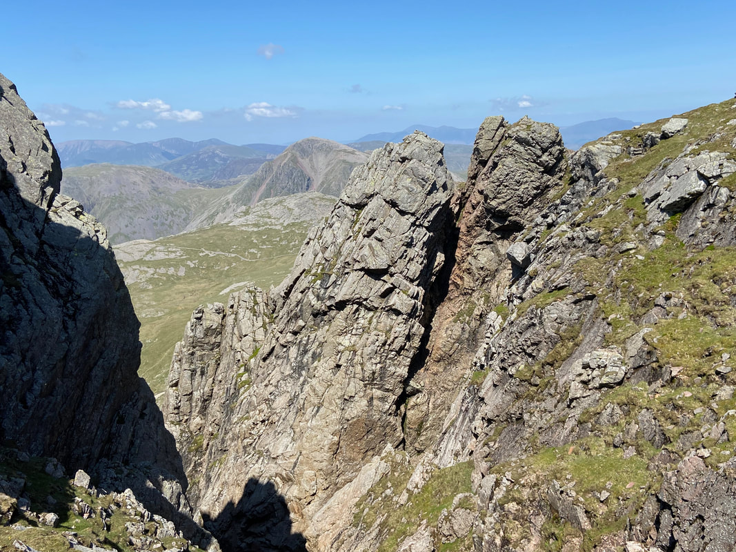
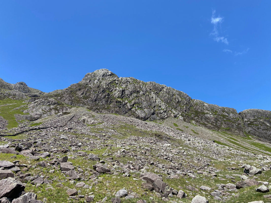
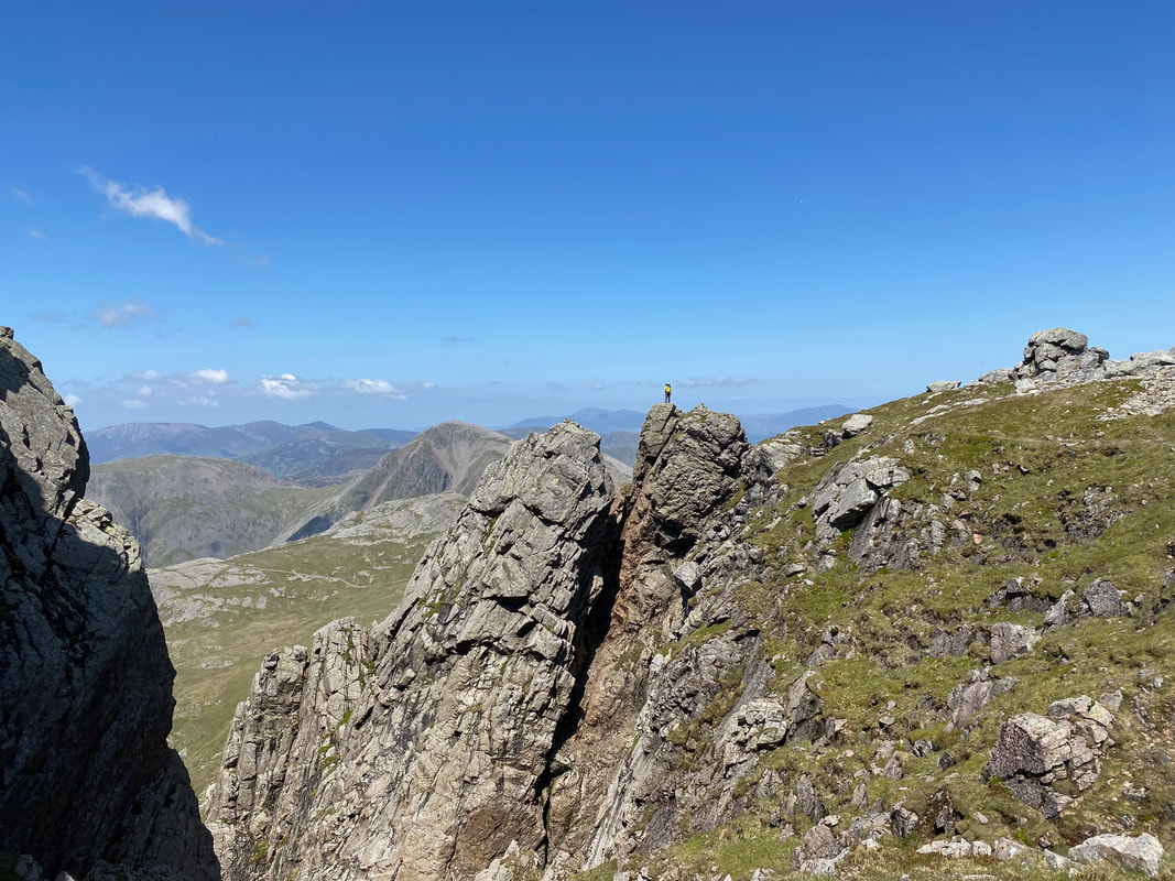
The classic shot of Scafell Pinnacle from the top of Deep Gill with Great Gable to the rear
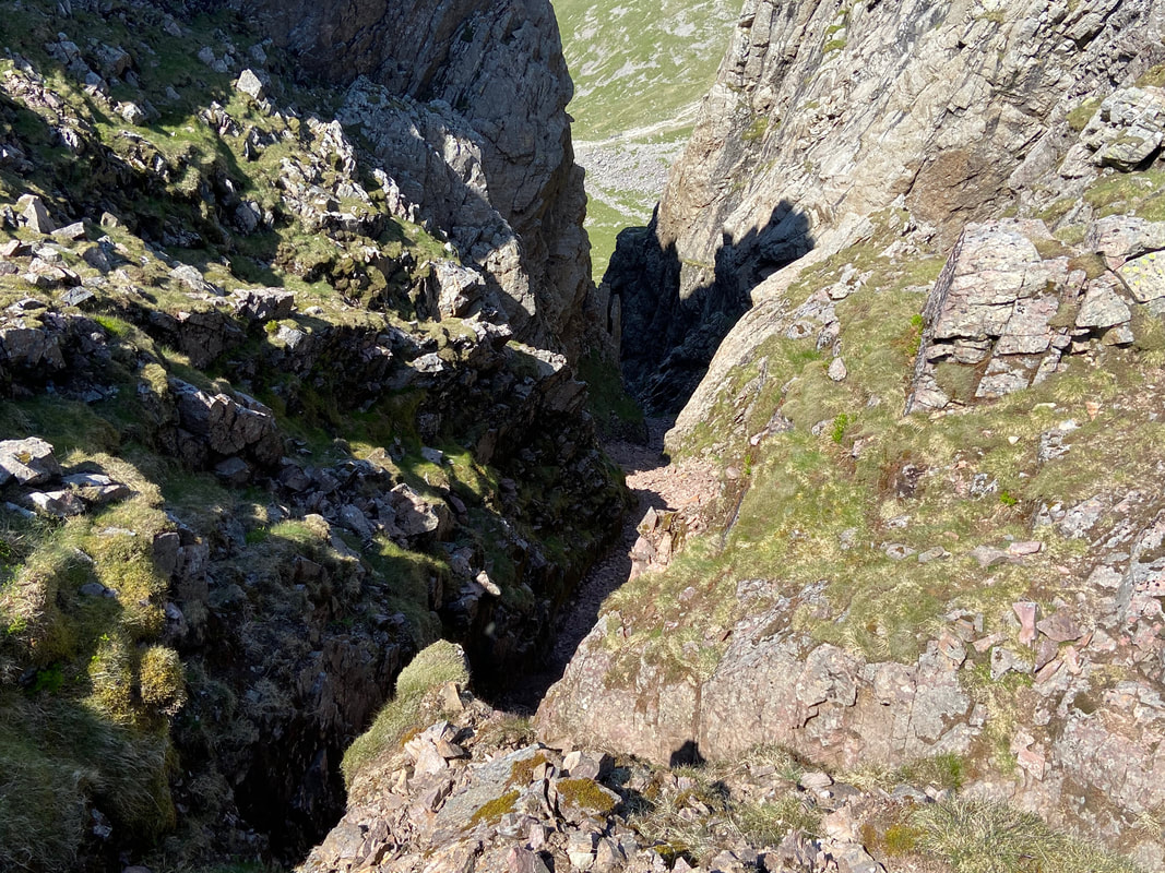
Looking into Deep Gill
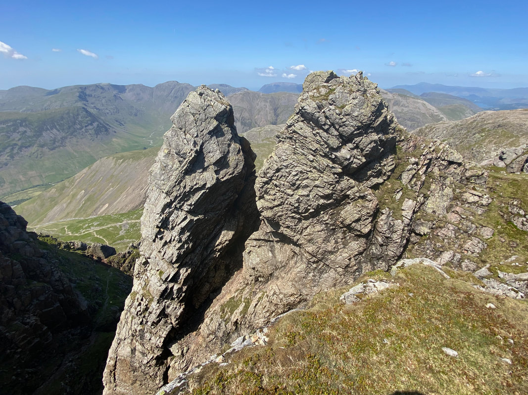
A closer look at Scafell Pinnacle - we have been here many times and this view still takes our breath away
Even Fudge loves this view - he just sat there and gawped at it
Scafell Pike across Mickledore from Scafell Pinnacle - the path from Mickledore can be seen snaking its way up the fell side
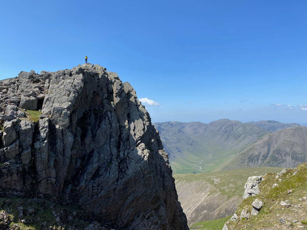
Me on top of the safer side of Scafell Pinnacle - it looks more precarious than it actually is
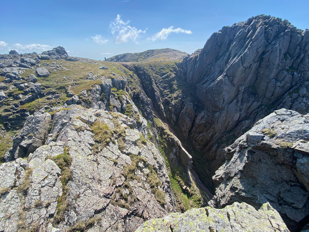
Looking back to the head of Deep Gill from Scafell Pinnacle with Symonds Knott over to the right and Scafell centre. I have climbed Scafell via Lord's Rake, the West Wall Traverse & Deep Gill a few times and a blog of this route can be found here
The Pillar group and Mosedale from Deep Gill
Great Gable & Scafell Pike from Scafell Pinnacle with Skiddaw & Blencathra in the far distance
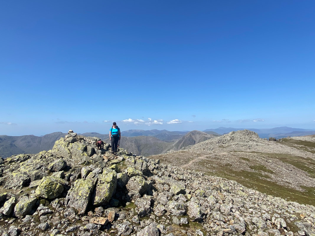
Up on the summit of Symonds Knott
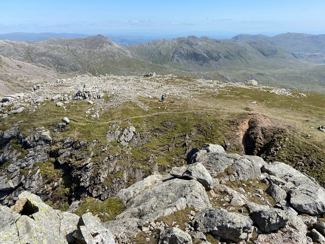
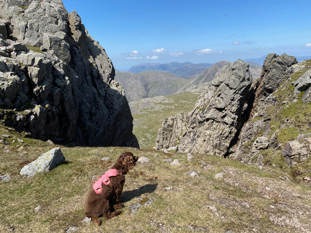
Looking down to Angie & Fudge across Deep Gill from Symonds Knott
The view from Symonds Knott over Scafell Pinnacle to Scafell Pike
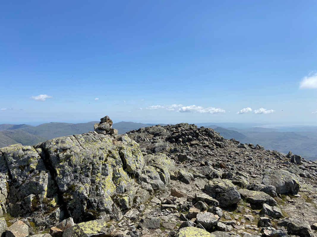
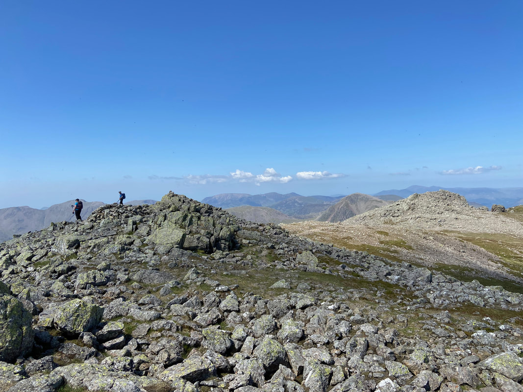
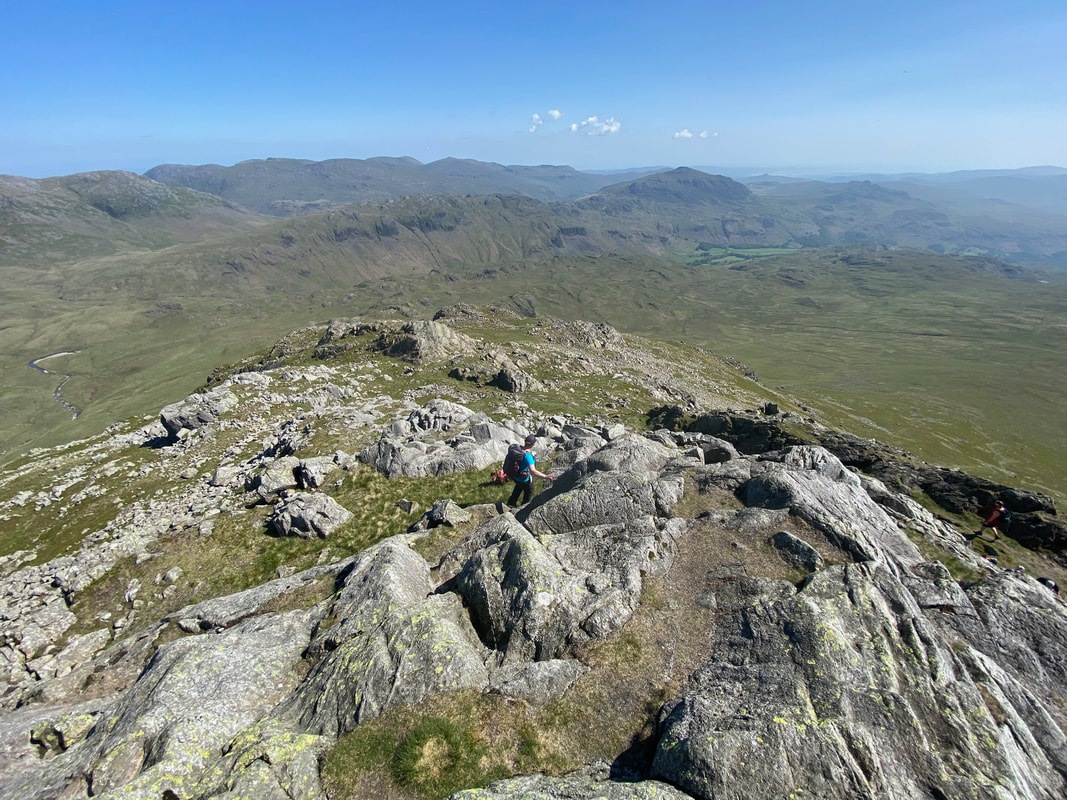
The summit of Scafell
Angie & Fudge on the summit of Scafell with Symonds Knott beyond
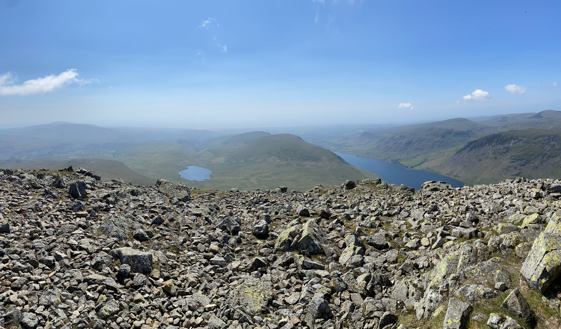
Burnmoor Tarn & Wastwater from the summit of Scafell
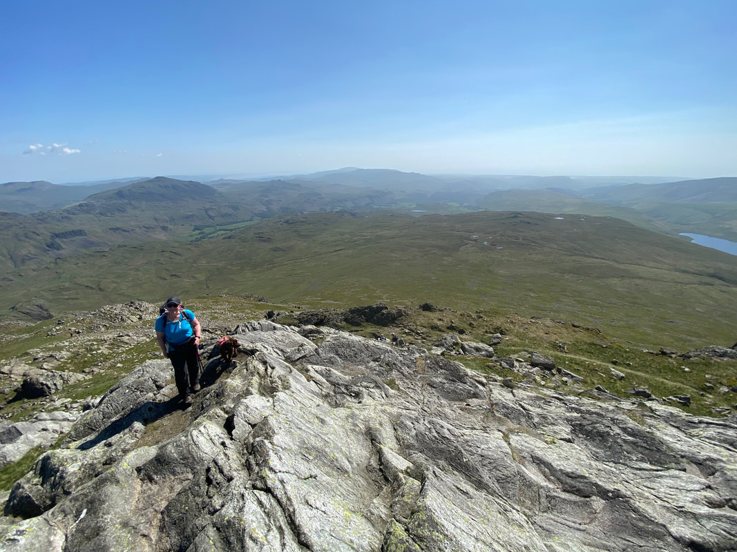
The summit of England's Number 2 - much, much quieter than over at Number 1
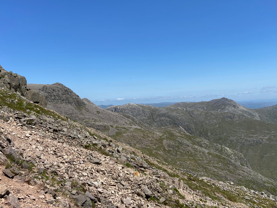
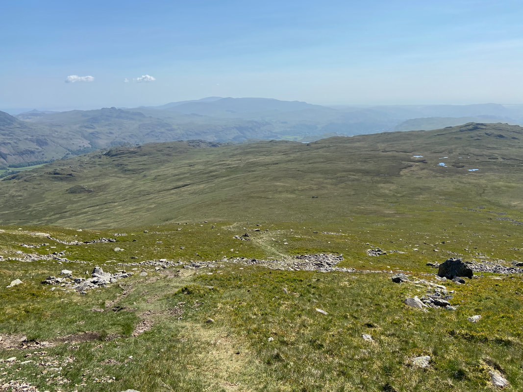
Looking down to the Foxes Tarn path we ascended earlier
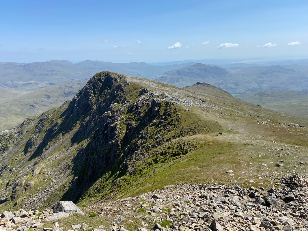
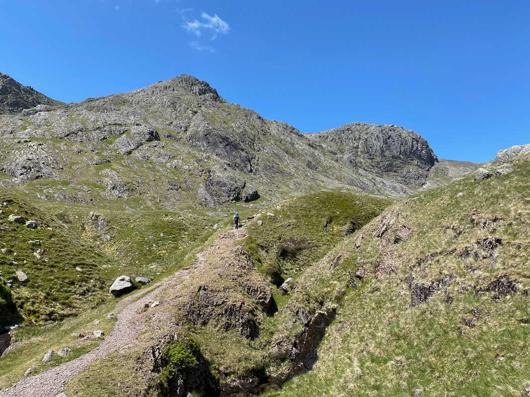
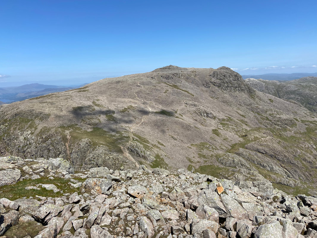
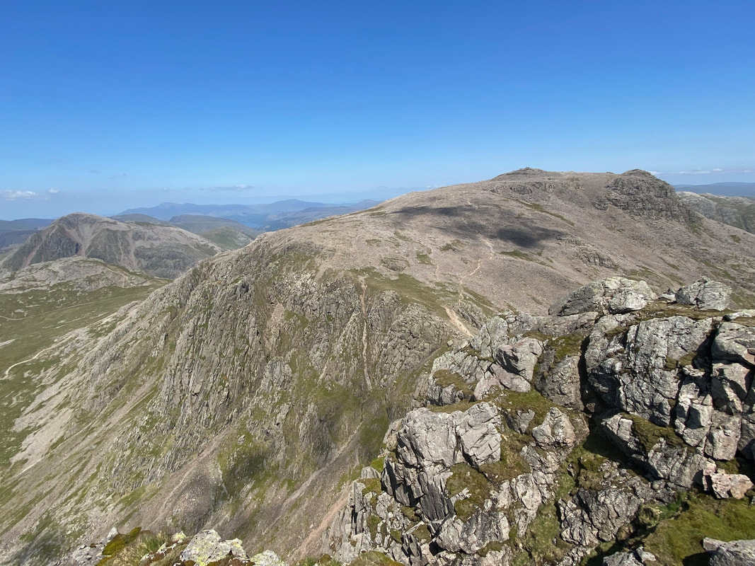
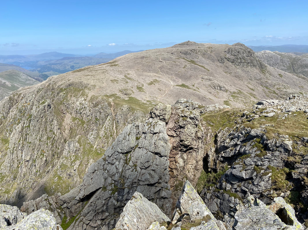
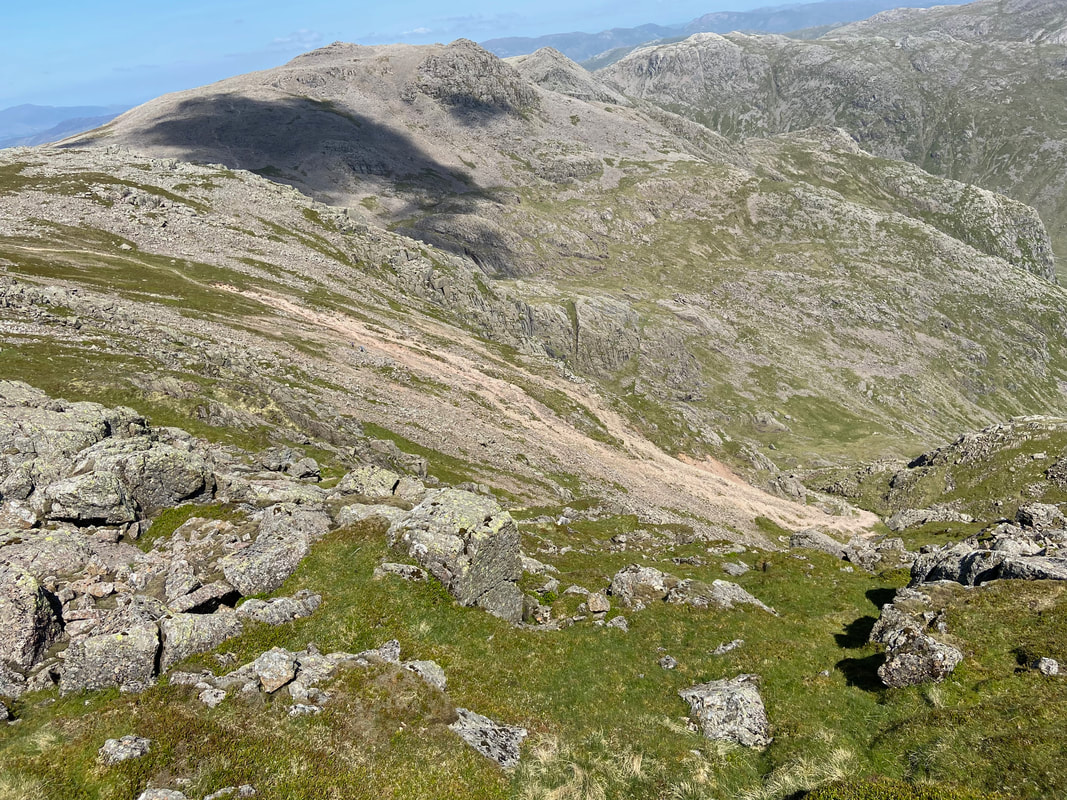
From Scafell we headed off to Slight Side (centre right ) via Long Green to the left
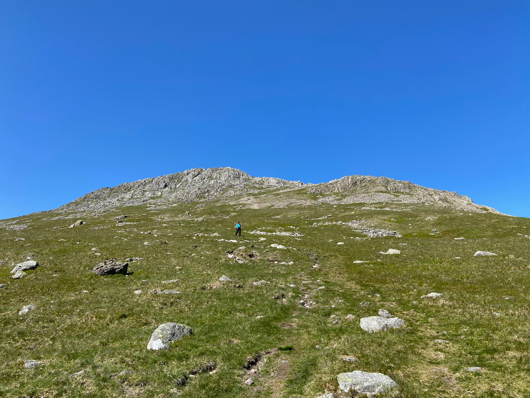
Our descent to Slight Side from Long Green
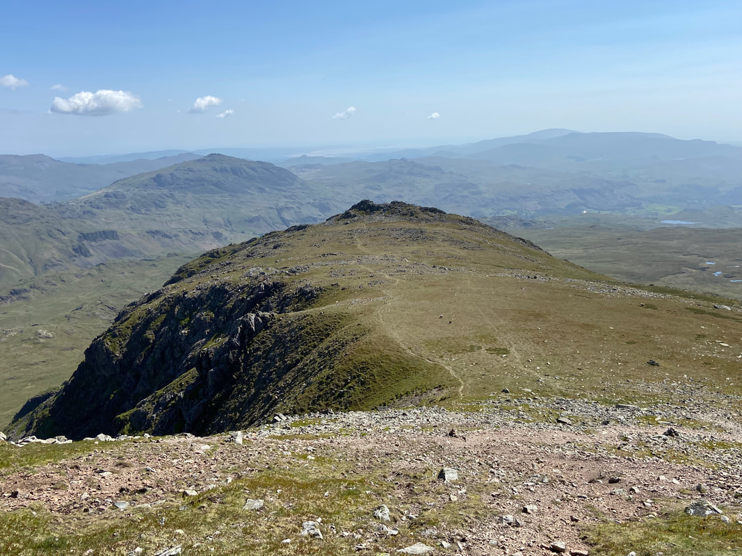
The summit of Slight Side
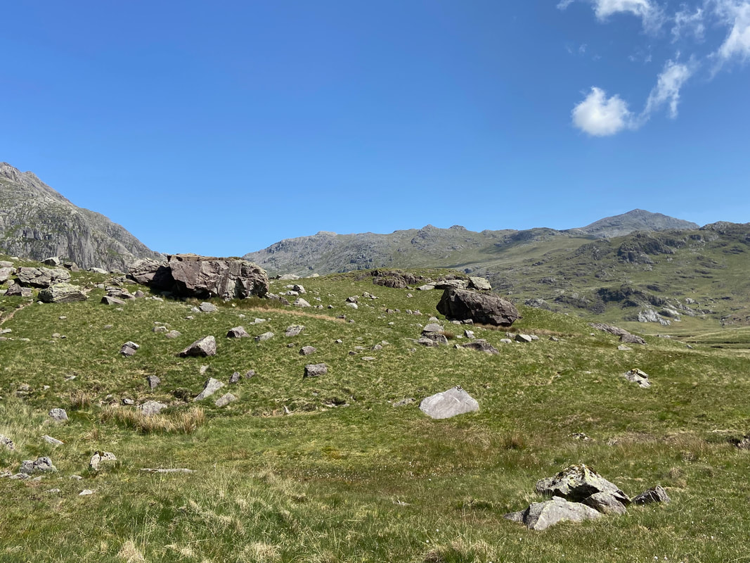
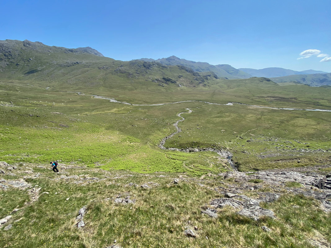
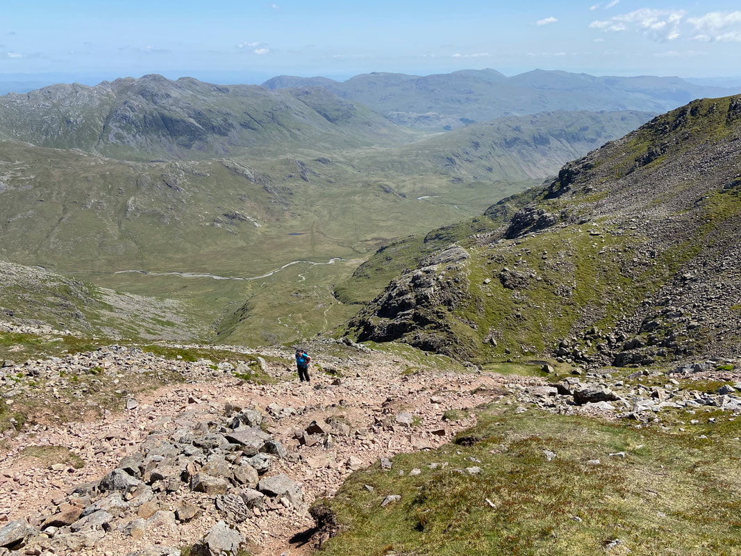
Leaving Slight Side for the long walk back to the start at Wha House - a walk of just under 3 miles but after a long day it always feels as though it is twice that
And on it goes - just get your head down and plod on - and remember to stop and look at the view
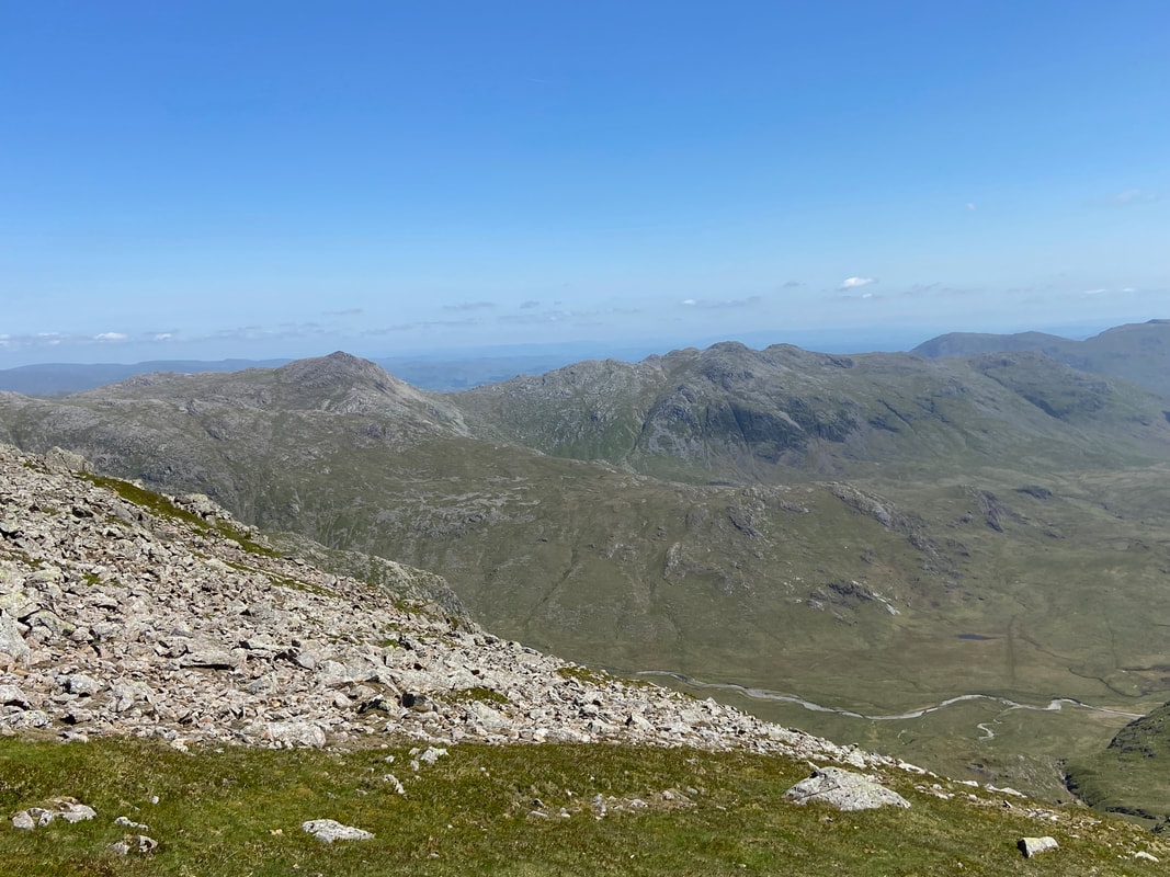
Looking back up to Slight Side from the descent
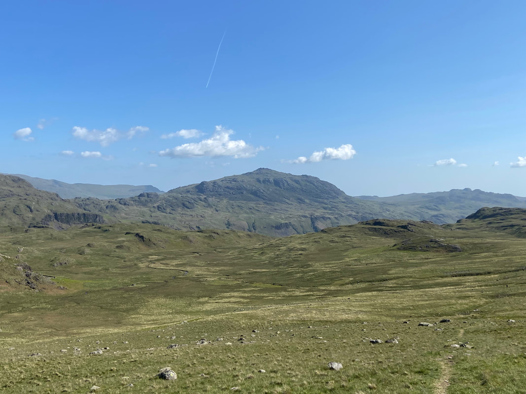
Harter Fell from the descent back to Eskdale
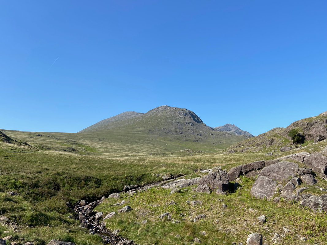
A final look back to Slight Side, Long Green & Ill Crag from Catcove Beck
Harter Fell in the early evening sun - what a cracking day out