Great Cockup, Meal Fell, Great Sca Fell, Brae Fell & Longlands Fell (The Back o'Skidda) - Friday 16 November 2018
Route
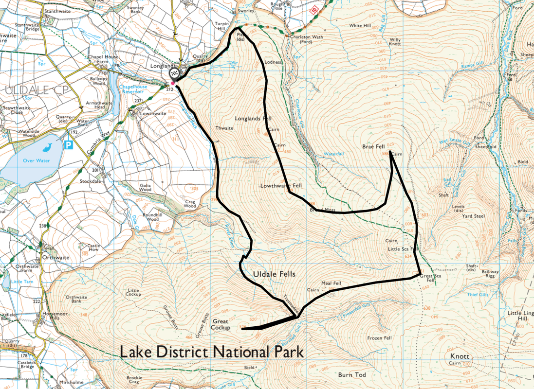
Longlands - Trusmadoor - Great Cockup - Trusmadoor - Meal Fell - Great Sca Fell - Little Sca Fell - Brae Fell - Broad Moss - Lowthwaite Fell - Longlands Fell - Cumbria Way - Longlands
Parking
Longlands (Free) - Grid Ref NY266359. Best get there early as there is only room for a few cars - providing that people who arrive before you park sensibly which unfortunately sometimes isn't the case. The nearest postcode is CA7 1HN.
Mileage
7 miles
Terrain
Grassy mountain paths for the most part although some are not marked on the OS Map.
Weather
Mostly sunny with overcast spells. The wind was extremely strong between Great Cockup & Meal Fell.
Time Taken
4hrs 15mins
Total Ascent
2099ft (640m)
Wainwrights
5
Walkers
Dave, Angie & Fudge
Map
OL4 - The English Lakes (North Western Area)
|
GPX File
|
| ||
If the above GPX file fails to download or presents itself as an XML file once downloaded then please feel free to contact me and I will send you the GPX file via e-mail.
Walk Description
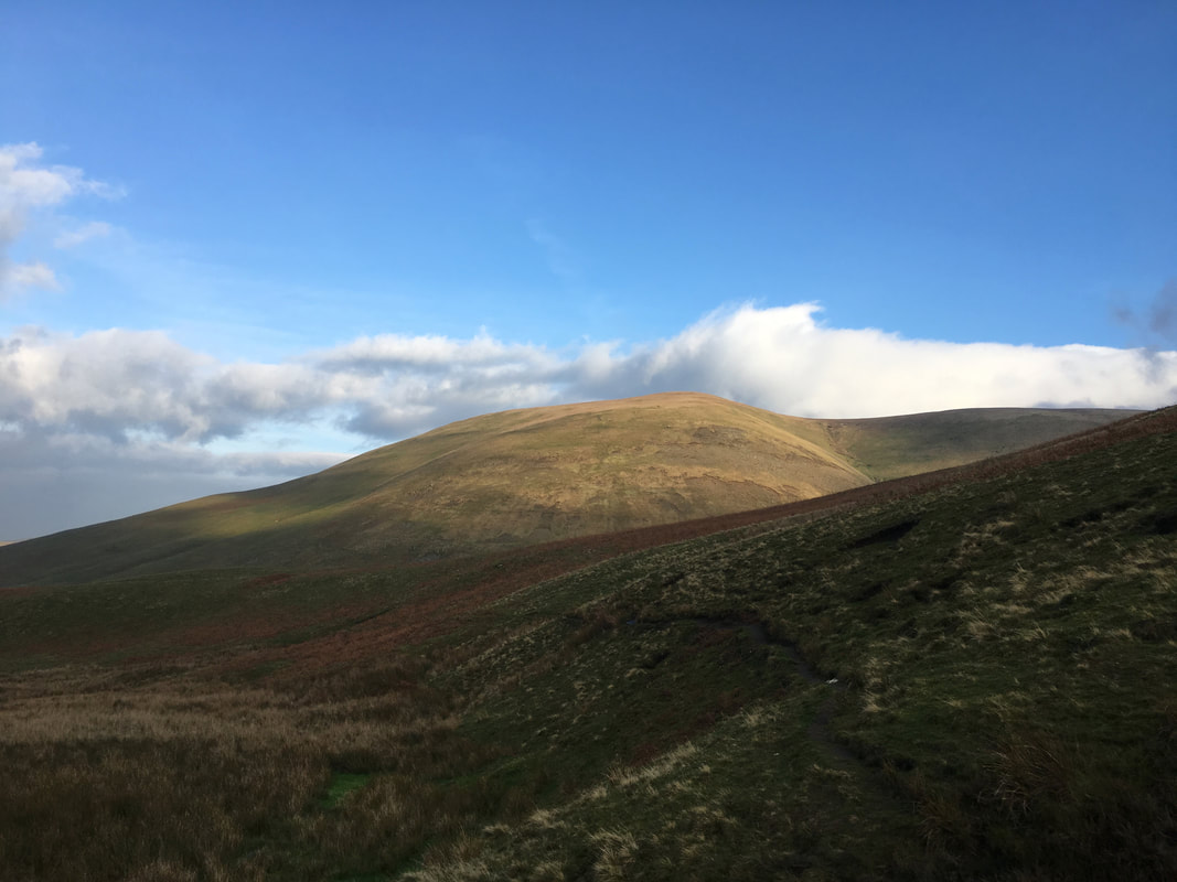
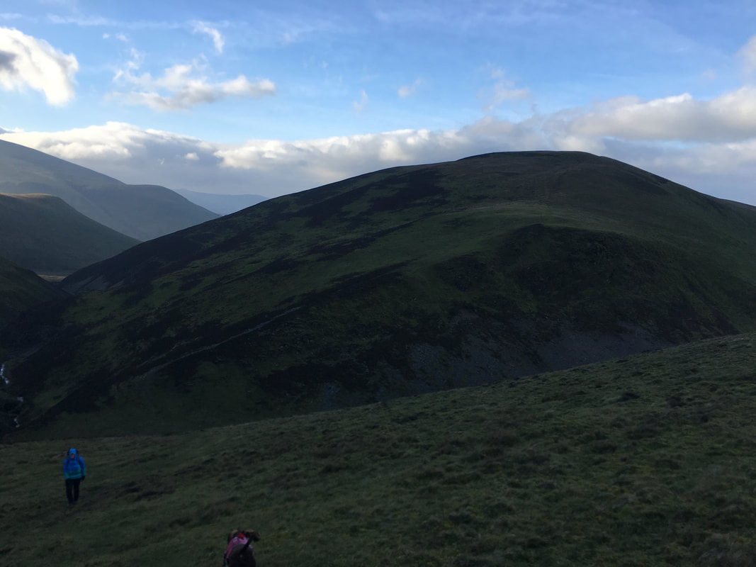
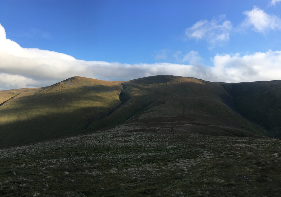
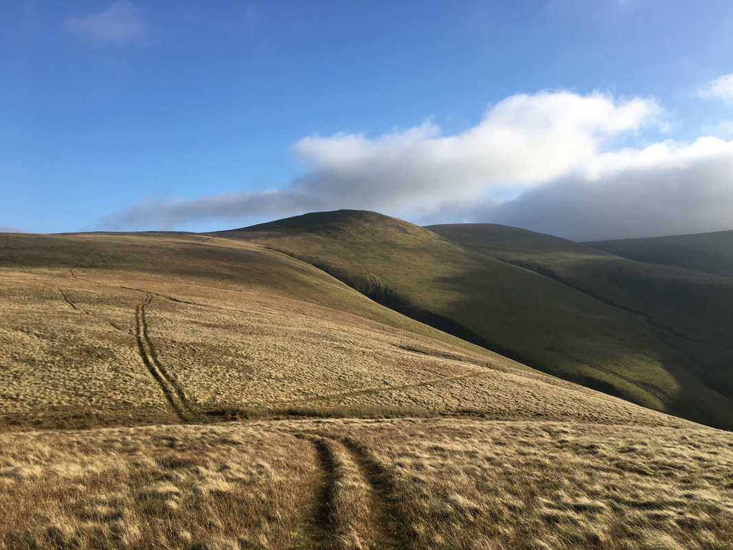
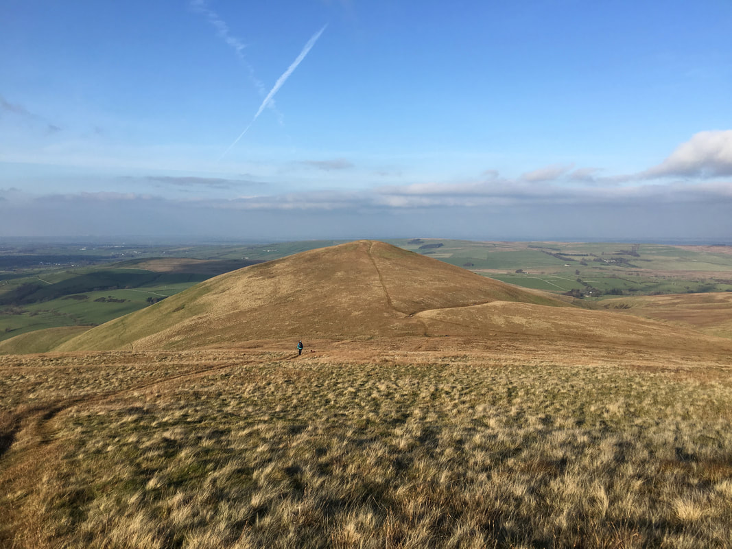
Lowthwaite Fell from the path to Trusmadoor
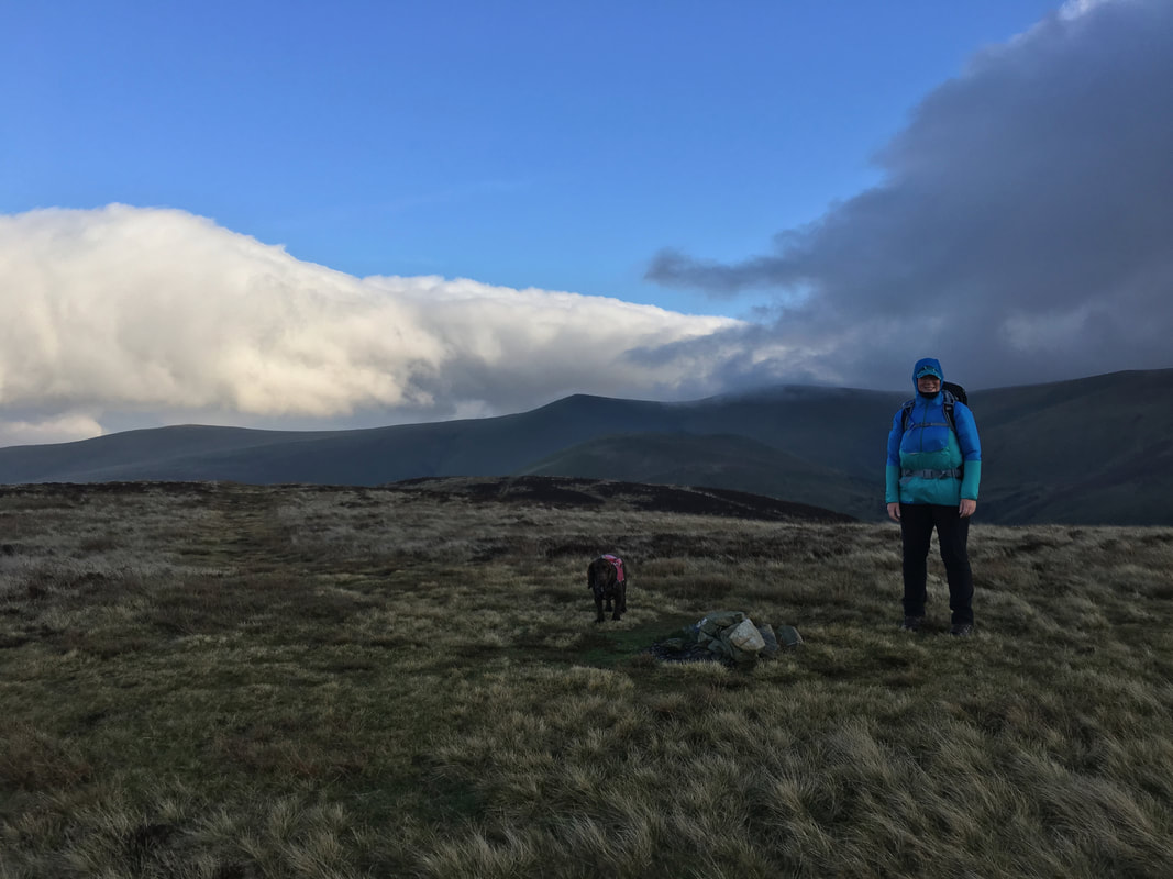
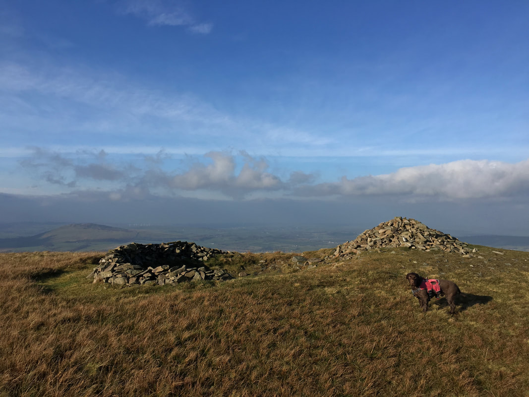
The summit of Great Cockup
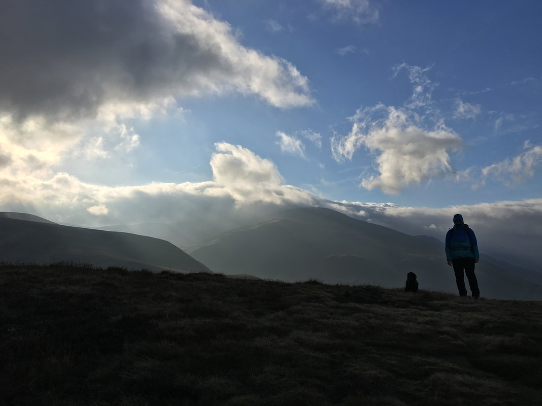
Moody skies looking to Skiddaw from Great Cockup
Great Cockup with the pass of Trusmadoor below
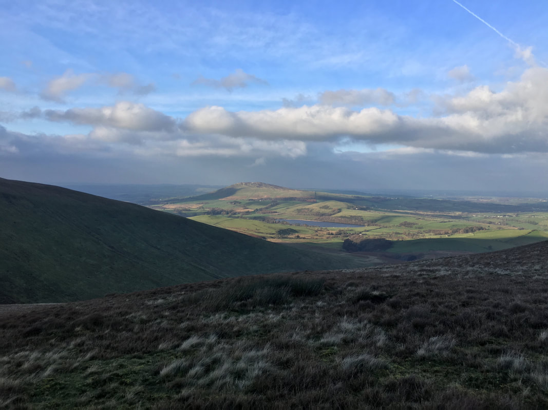
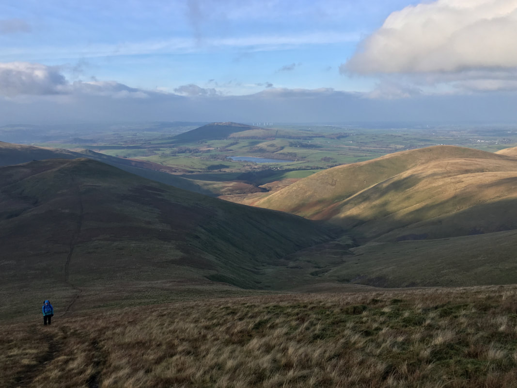
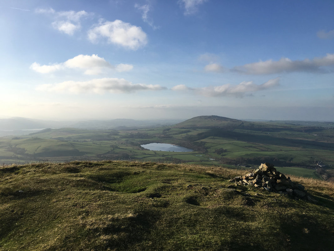
Looking to Binsey across Overwater
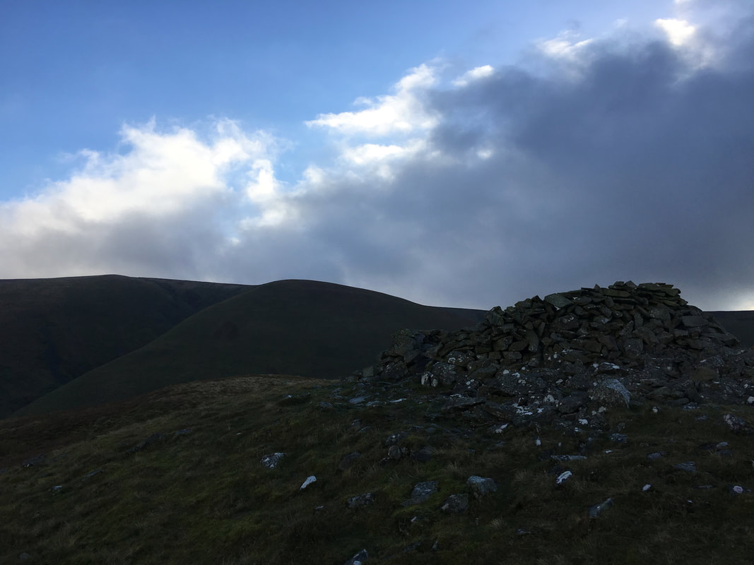
The summit shelter on Meal Fell.
Frozen Fell is in the foreground with the large expanse of Knott to the rear.
Frozen Fell is in the foreground with the large expanse of Knott to the rear.
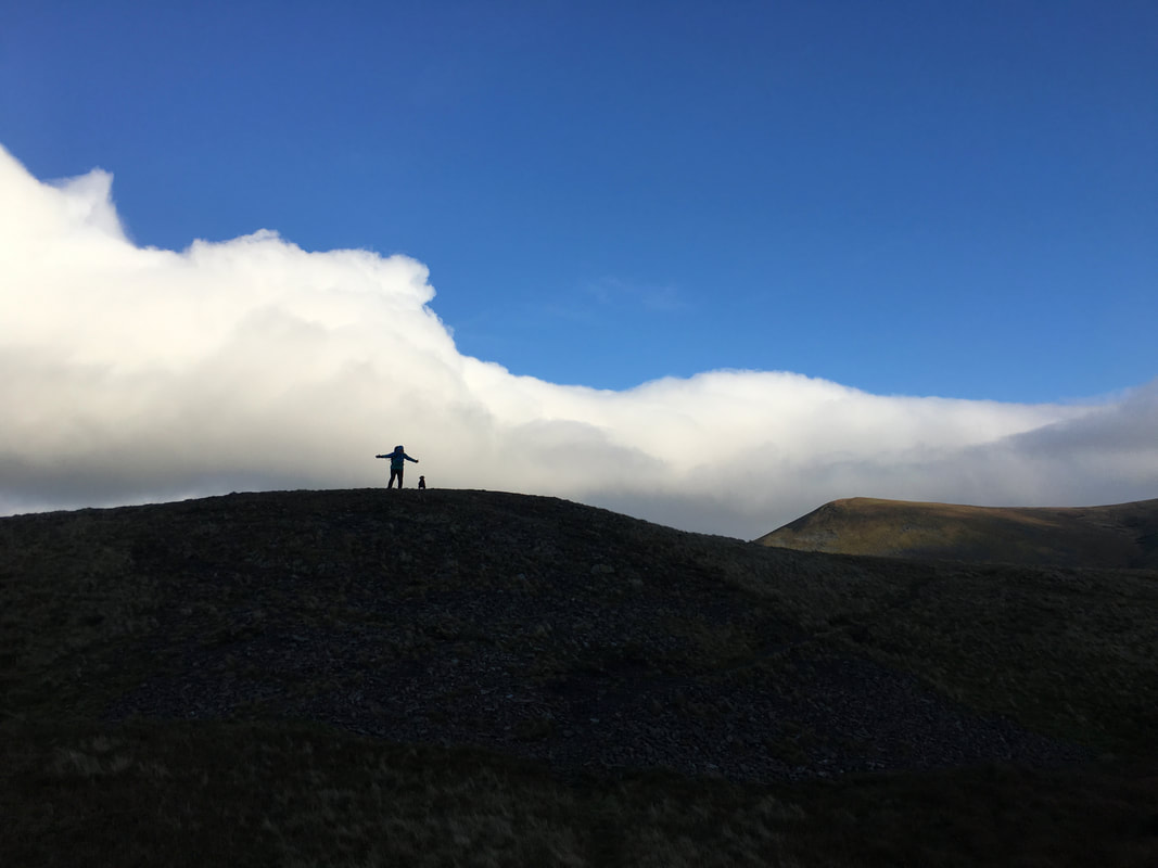
Angie & Fudge on the summit of Meal Fell - the wind was really howling by this time
The steep ascent to the summit of Great Sca Fell with Little Sca Fell to the left.
A path can be seen heading left half way up the slope - this leads to the col in between Little & Great Sca Fell.
A path can be seen heading left half way up the slope - this leads to the col in between Little & Great Sca Fell.
Looking back to Meal Fell from the col
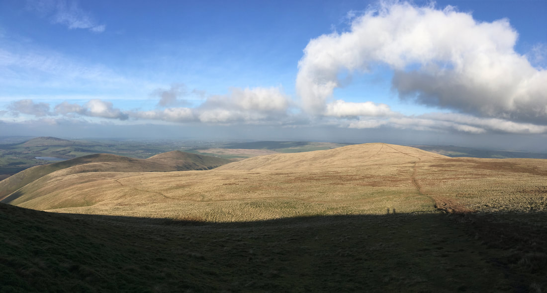
Lowthwaite Fell & Longlands Fell across Broad Moss from the ascent of Great Sca Fell
Continuing the steep ascent to Great Sca Fell with the meandering River Ellen below
The summit of Great Sca Fell with High Pike distant
From the summit of Great Sca Fell there is the option to turn right and do an out & back to Knott or, as we did today head left to Brae Fell
High Pike & Carrock Fell
The short transit across fairly level ground to Little Sca Fell
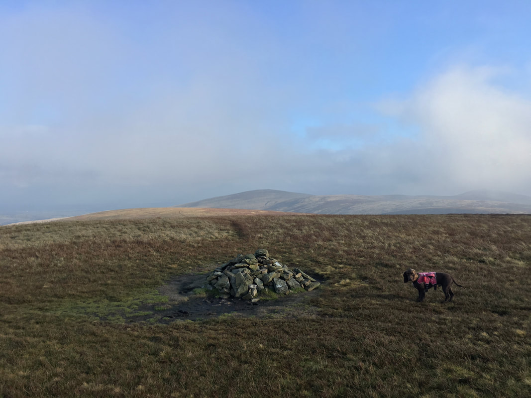
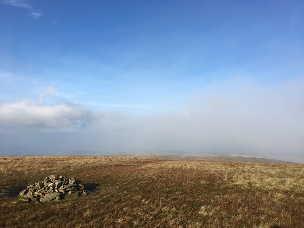
The summit cairn and wind shelter on Little Sca Fell
Shadows of our former selves as we leave Little Sca Fell.
We were now off to Brae Fell which is to the right and would then sweep around to Lowthwaite Fell & Longlands Fell.
We were now off to Brae Fell which is to the right and would then sweep around to Lowthwaite Fell & Longlands Fell.
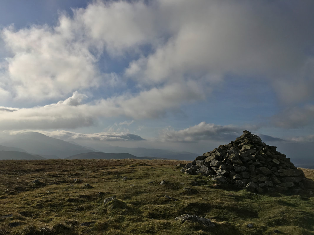
The large summit cairn on Brae Fell
The summit of Brae Fell with Skiddaw to the left
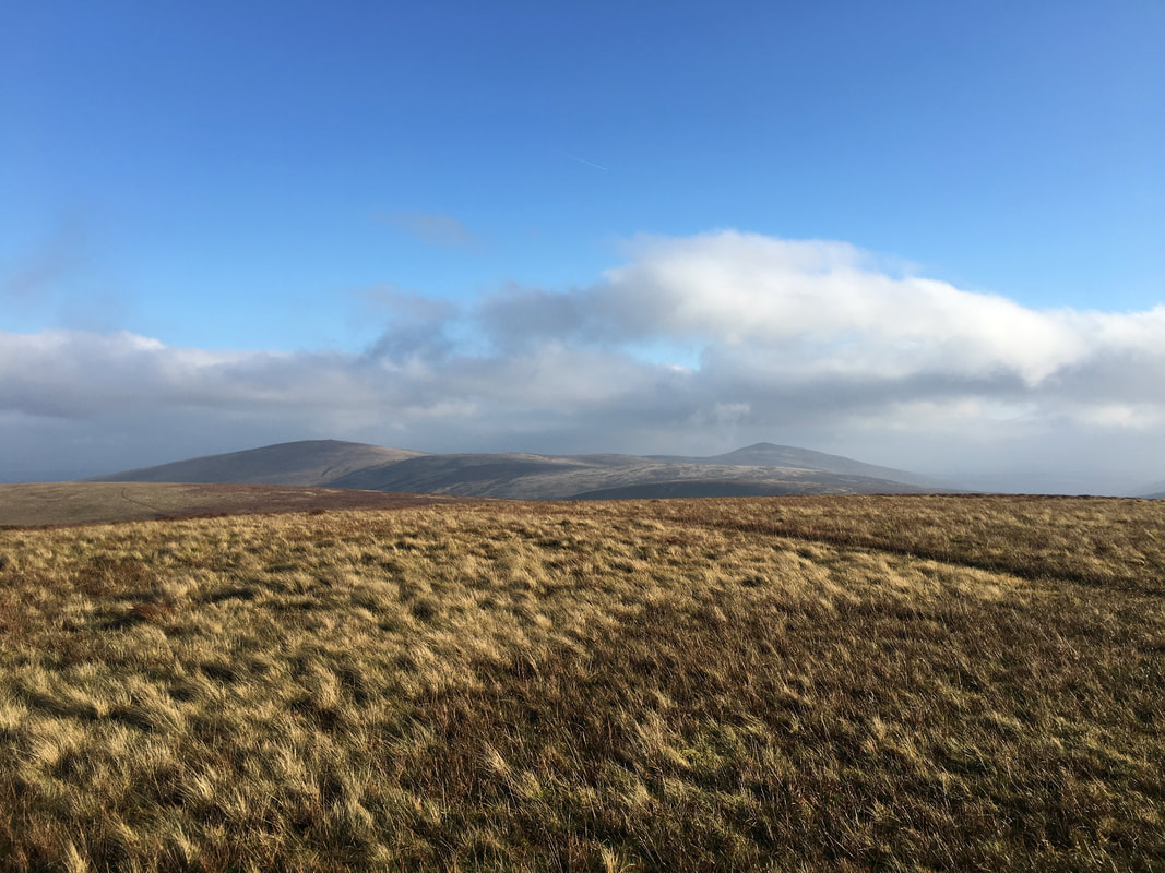
Little Sca Fell & Great Sca Fell over Broad Moss from the path to Lowthwaite Fell
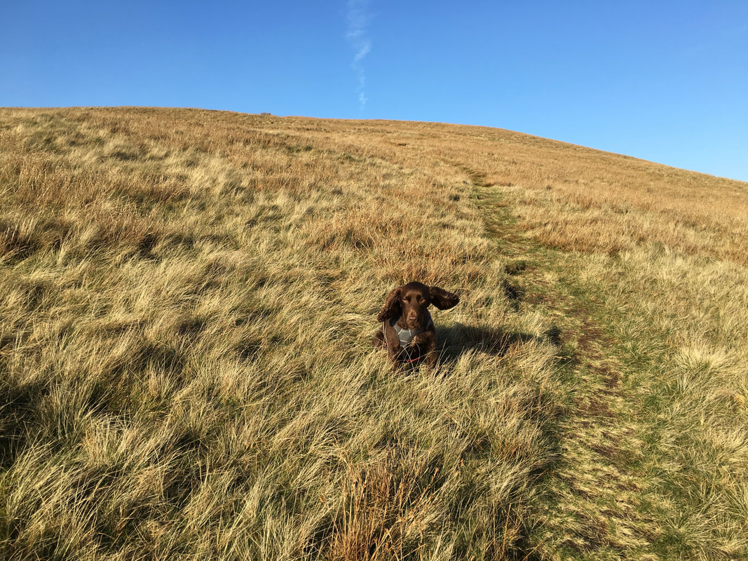
As usual cheeky boy had a great day out on his favourite type of terrain - grass
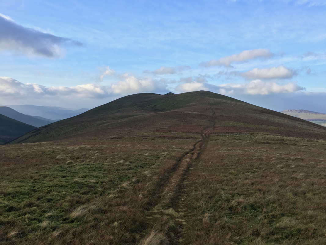
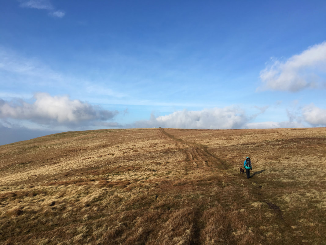
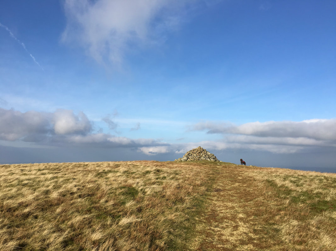
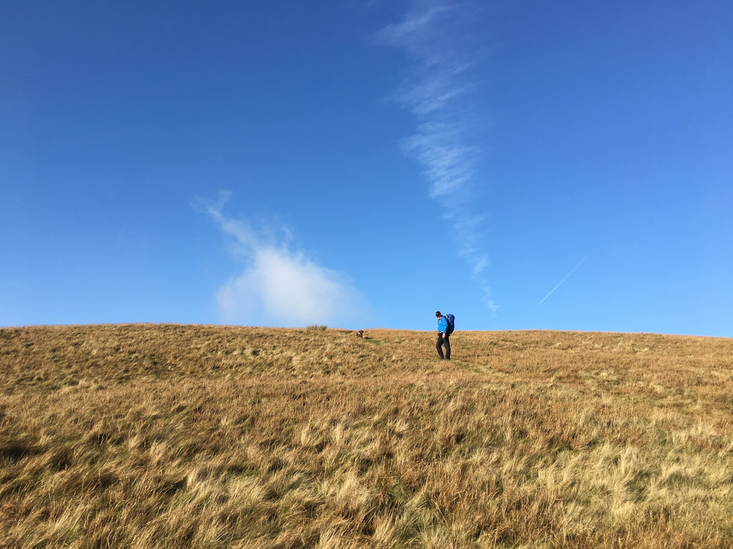
Approaching the summit of Lowthwaite Fell
Conquering the massive summit cairn on Lowthwaite Fell - Fudge is clearly unimpressed.
Heading for our final summit of the day - Longlands Fell
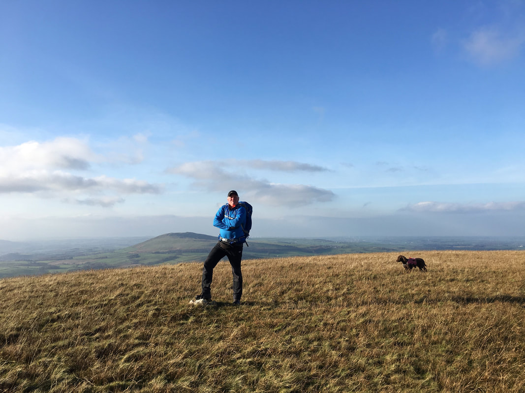
The summit of Longlands Fell looking to Overwater & Binsey
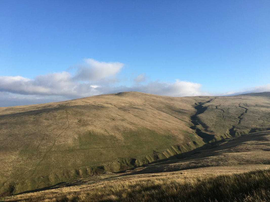
Charleton Gill & Brae Fell from Longlands Fell
