Darling Fell, Low Fell & Fellbarrow - Friday 23 February 2018
Route
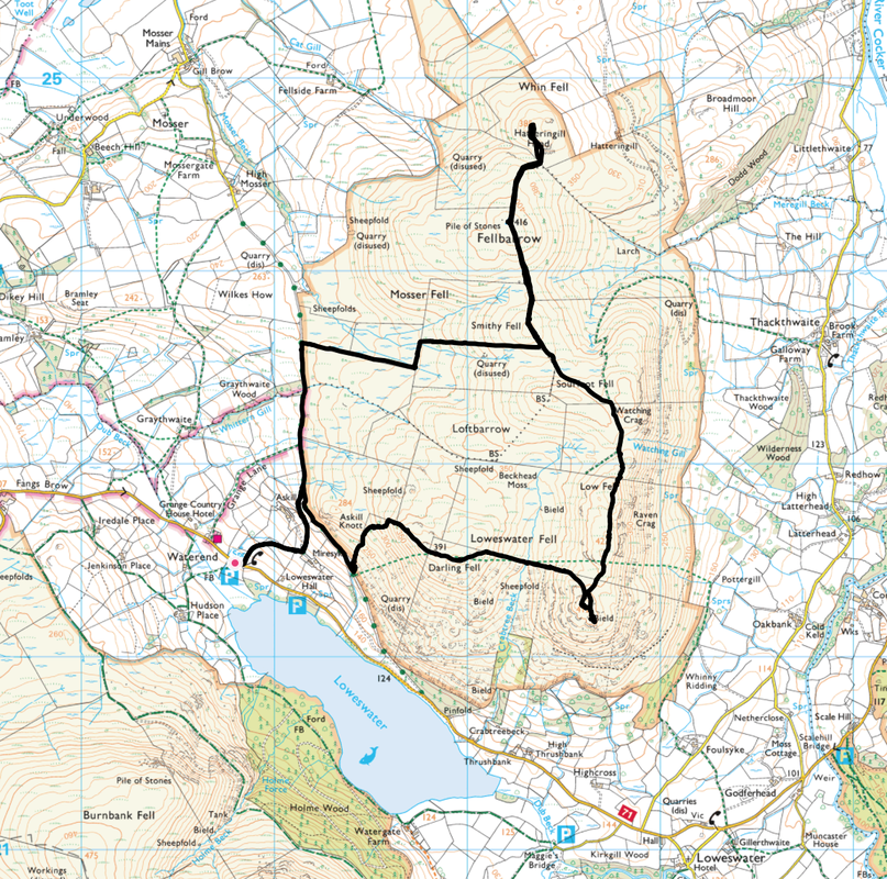
Waterend - Mosser Fell Road - Darling Fell - Low Fell - Watching Crag - Sourfoot Fell - Smithy Fell - Fellbarrow - Hatteringill Head - Fellbarrow - Smithy Fell - Mosser Fell Road - Waterend
Parking
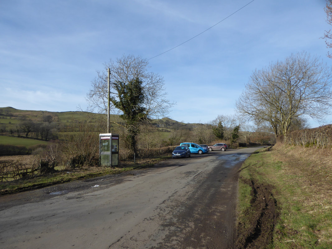
Verge parking for a dozen or so cars at Waterend at the north western end of Loweswater (Free) - the Grid Ref is NY118225 and the nearest postcode is CA13 0SU.
Mileage
7 miles
Terrain
Good mountain paths although the section between Smithy Fell and the Mosser Fell Road can be boggy after rain
Weather
Bitterly cold yet sunny although the visibility was intermittently hazy
Time Taken
4hrs
Total Ascent
2444ft (745m)
Wainwrights
2
Map
OL4 - The English Lakes (North Western Area)
Walkers
Dave, Angie & Fudge
|
GPX File
|
| ||
If the above GPX file fails to download or presents itself as an XML file once downloaded then please feel free to contact me and I will send you the GPX file via e-mail.
Route Map
The walk started from the verge at Waterend - this is a popular walk at weekends therefore get here early
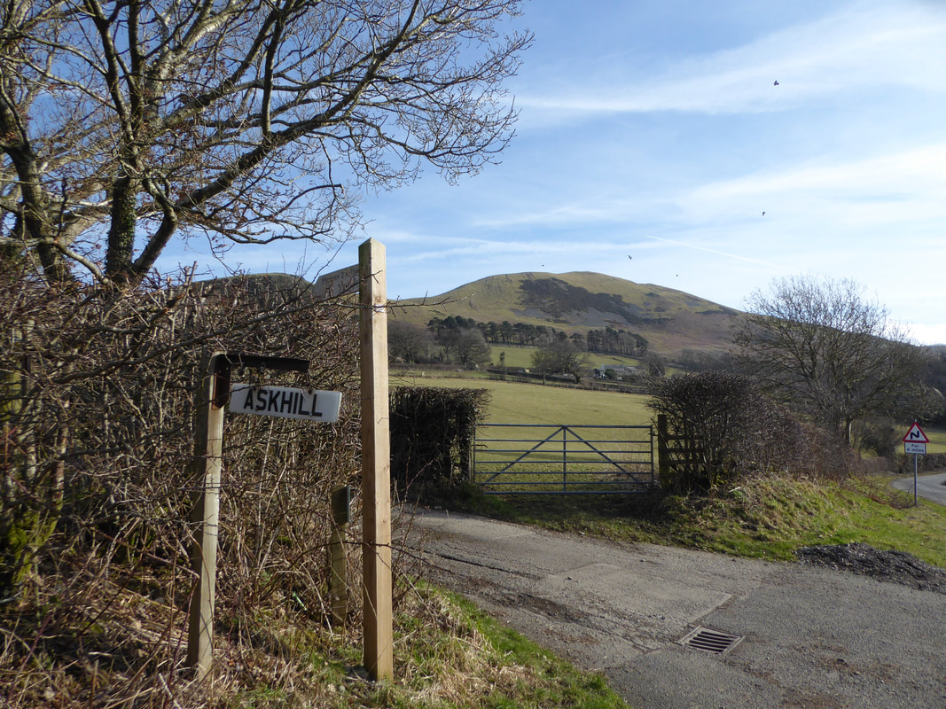
From the parking area cross over the road and head up the lane towards the farm at Askill
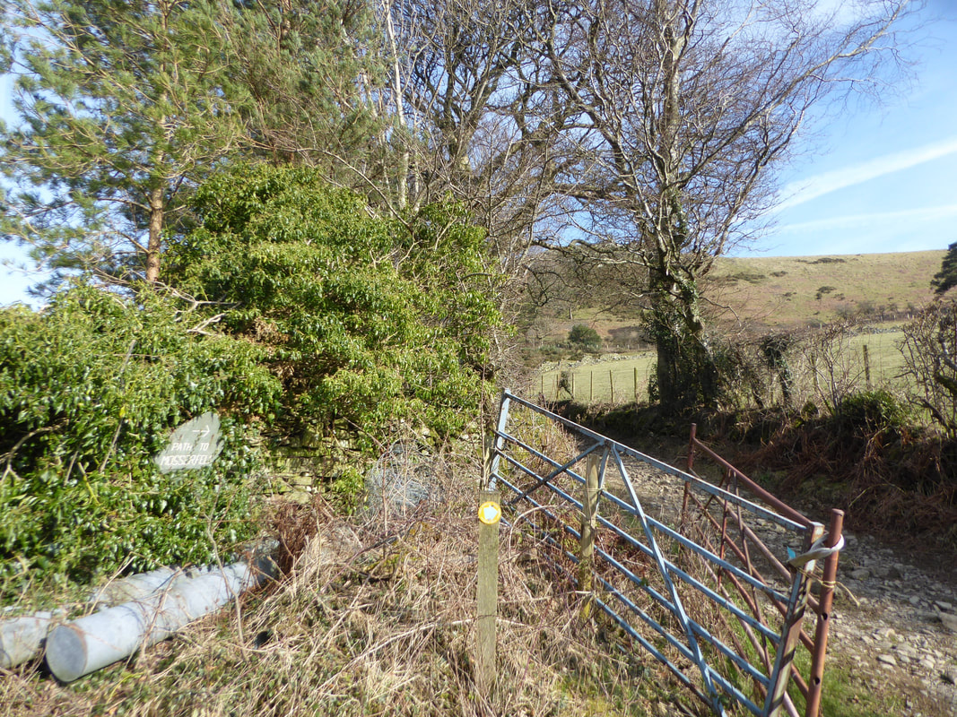
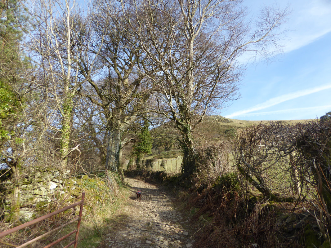
The lane meanders its way uphill and at a sharp bend a bridleway which leads to the Mosser Fell Road heads off to the left
Fudge heading up the bridleway
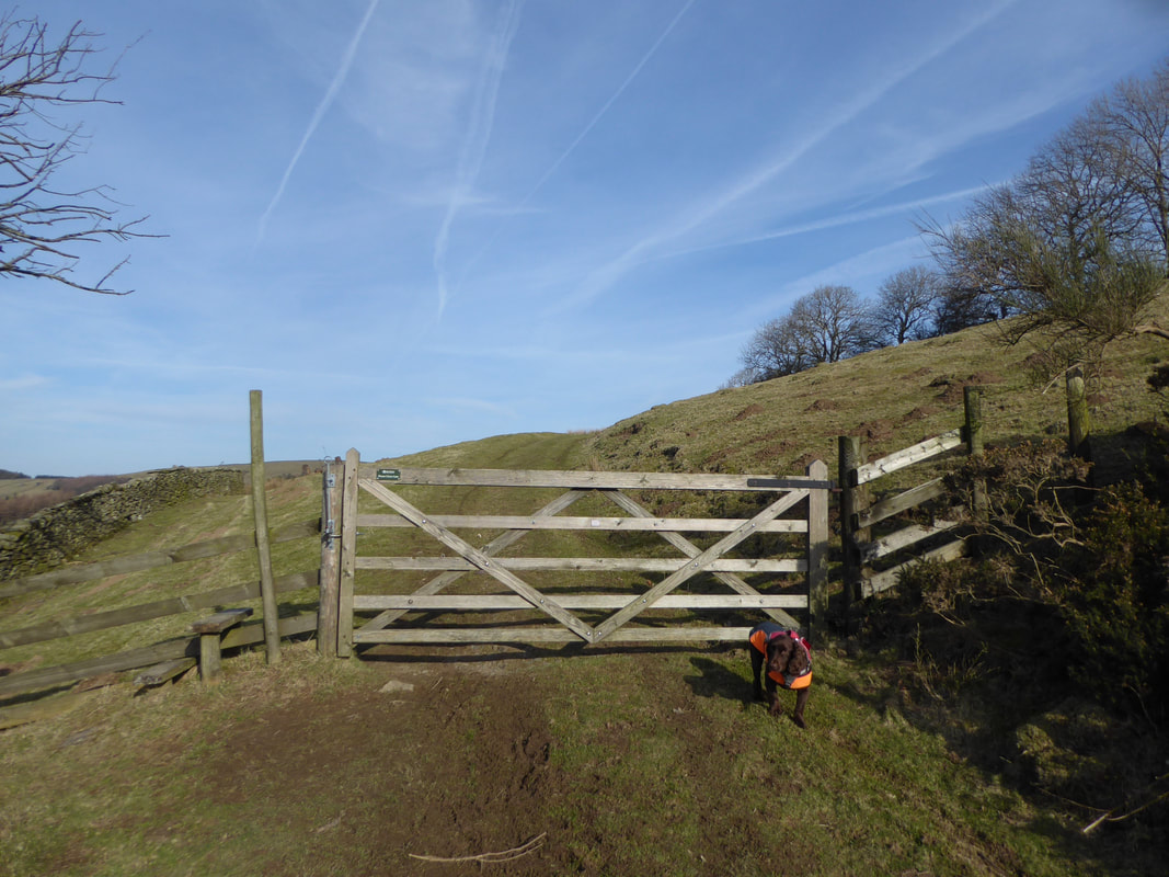
The bridleway continues gently uphill to the right of Askill Farm
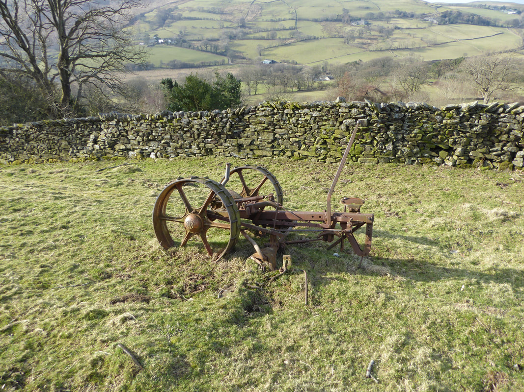
I have passed this old piece of farm machinery many times and often wondered what its purpose was. On closer inspection and after a surf on the "tinterweb" it is an old Bamford mower. Bamfords were established in Uttoxeter in 1871 and ceased trading in 1987.
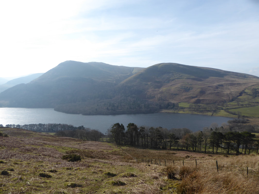
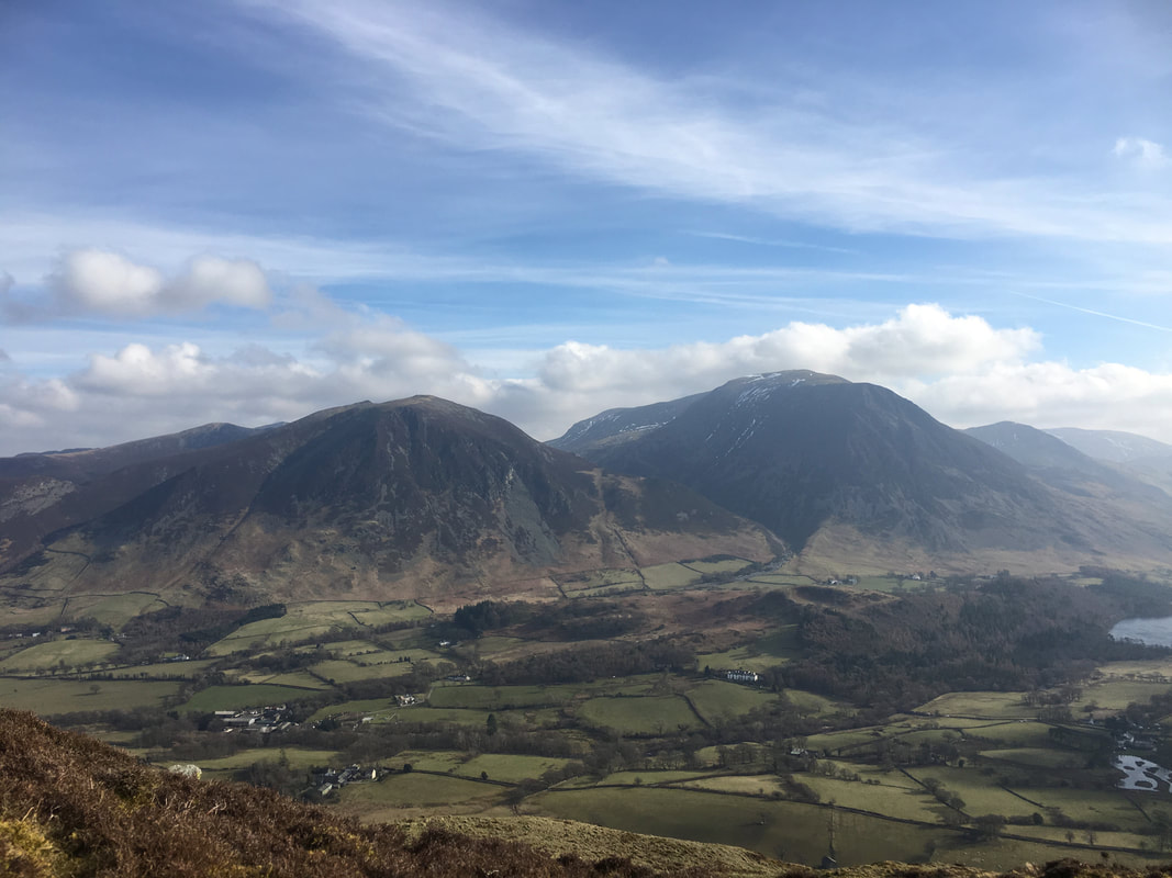
Above the Mosser Fell Road the view over Loweswater opens up with Carling Knott & Burnbank Fell prominent
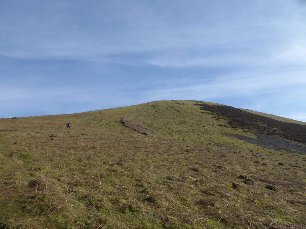
From the Mosser Fell Road the climbing starts as the route heads up to the west ridge of Darling Fell
Askill Knott
After a steep climb the top of the ridge is reached and it is but a short and mostly level transit to the summit of Darling Fell
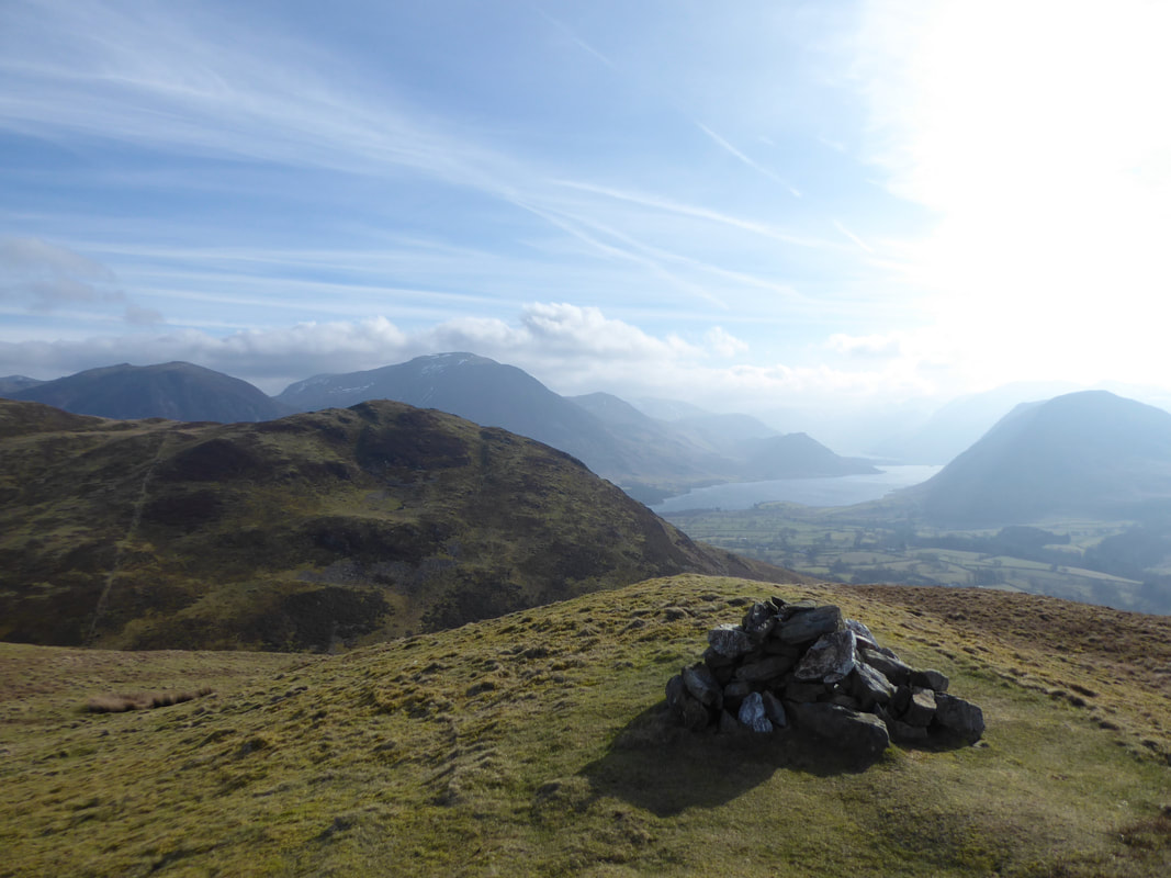
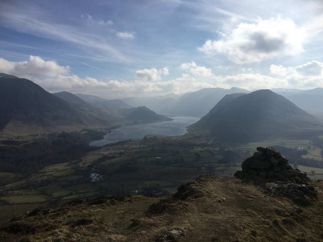
The summit of Darling Fell looking to Low Fell, Whiteside, Grasmoor & Crummock Water
From Darling Fell the route drops very steeply to the col at Crabtree Beck - and of course a steep climb to gain Low Fell awaited us!
Looking back to Darling Fell from the ascent to Low Fell
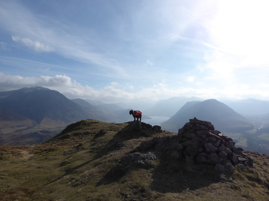
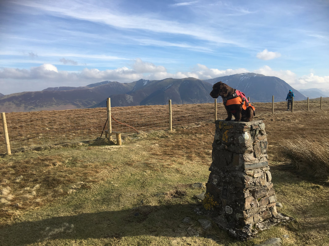
Oh look a balancing dog! Fudge on the south top of Low Fell.
Whilst not the highest point on the fell, in his eyes Wainwright regarded this as the summit although the north top is higher by a massive 36 feet!
Whilst not the highest point on the fell, in his eyes Wainwright regarded this as the summit although the north top is higher by a massive 36 feet!
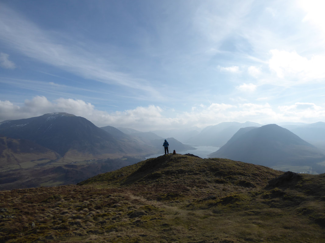
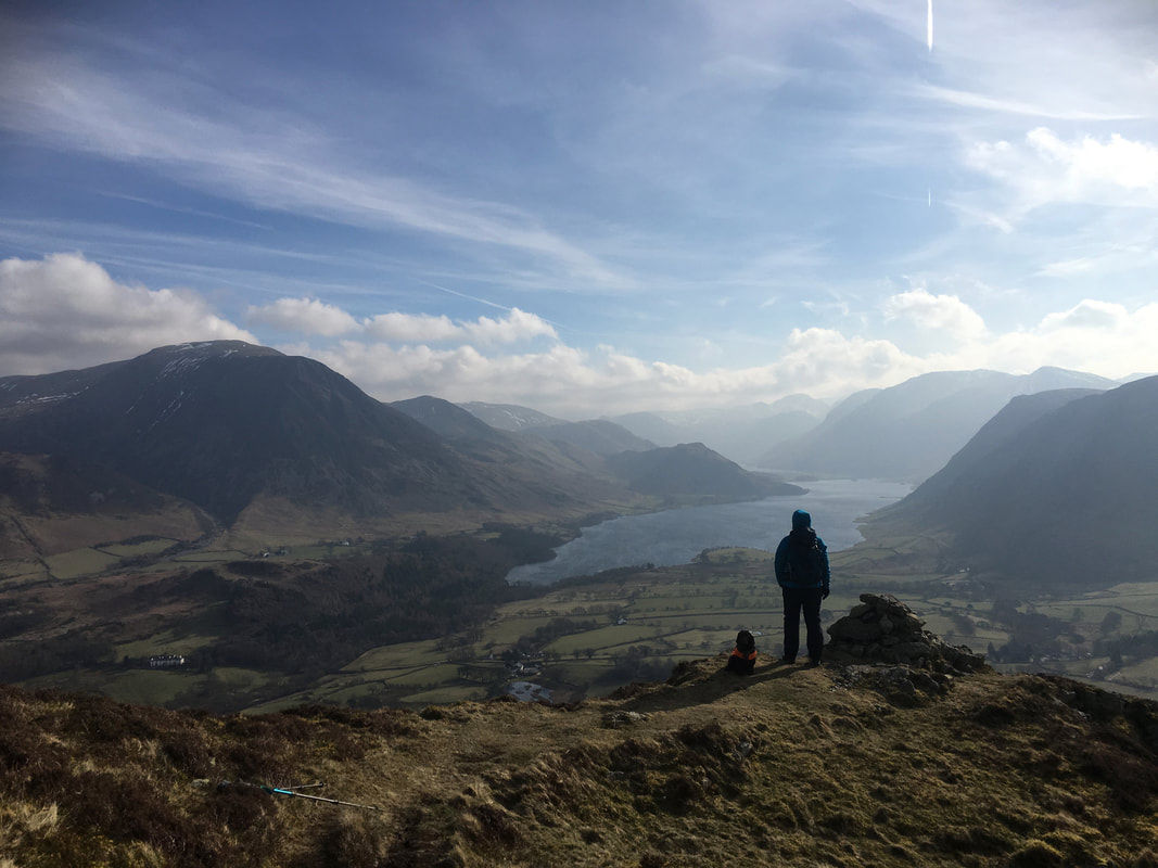
Angie & Fudge on one of the various promontories that adorn Low Fell.
As can be seen, the view from this modest height is just superb and it is worth walking along the top to the south as the views just get better & better.
As can be seen, the view from this modest height is just superb and it is worth walking along the top to the south as the views just get better & better.
Whiteside & Grasmoor across the Vale of Lorton from the southern end of Low Fell
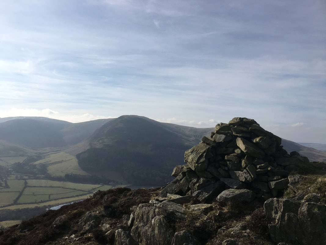
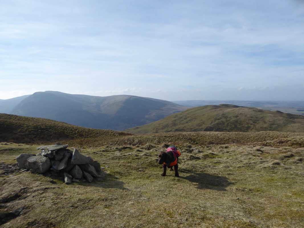
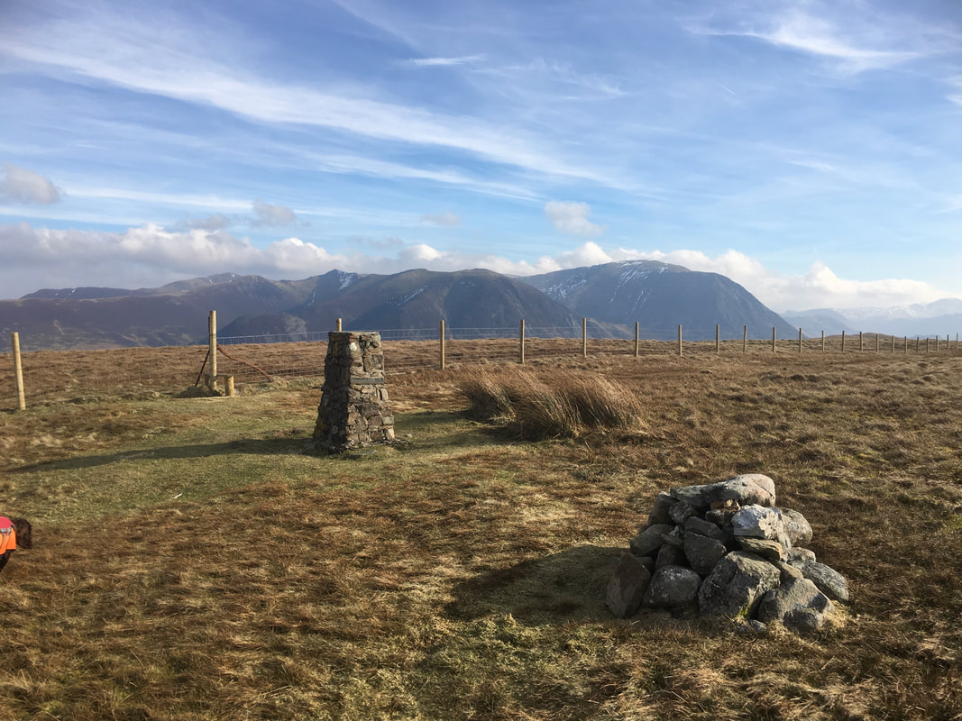
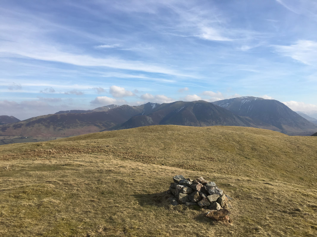
As stated earlier, it is worth the short transit to the southern end of Low Fell where another cairn can be found.
Whilst a tad hazy today, the view from this point on any given day with even modest visibility is truly exceptional.
Whilst a tad hazy today, the view from this point on any given day with even modest visibility is truly exceptional.
Nobody else here today at Low Fell's southern end
Carling Knott from Low Fell's furthest southern cairn
The summit cairn on Low Fell, the fells highest point at 1388ft (423m)
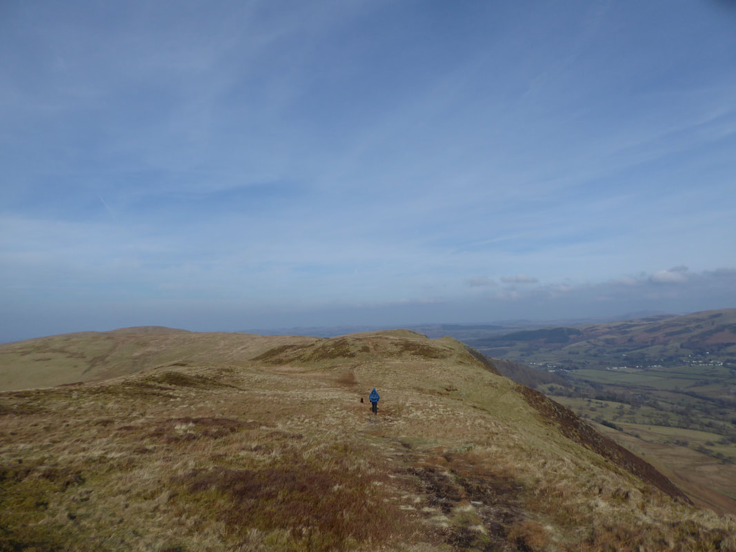
From Low Fell's northern top the route heads towards Watching Crag
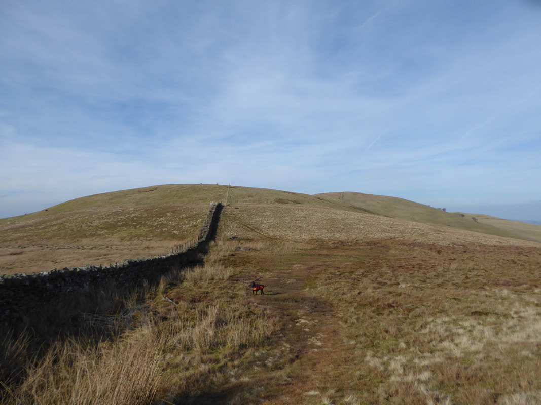
Heading for Smithy Fell with Fellbarrow distant
Looking back to our route from Low Fell.
The zig zag path on the left is the one coming up from Thackthwaite.
The zig zag path on the left is the one coming up from Thackthwaite.
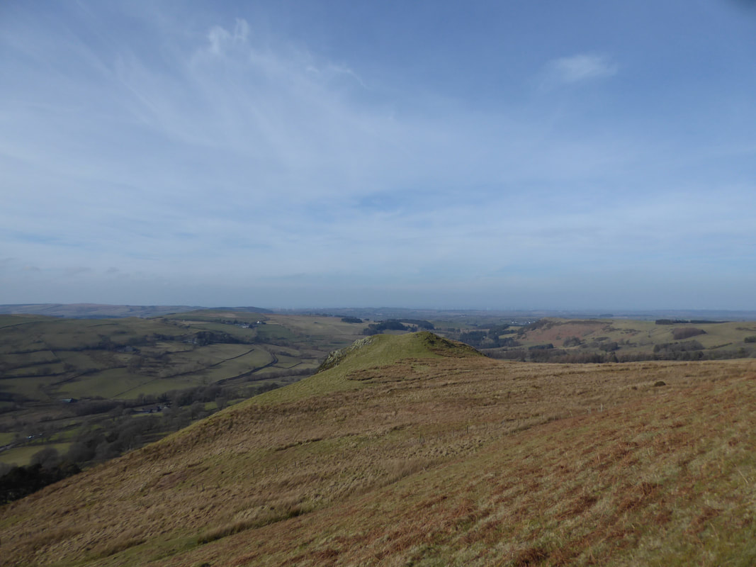
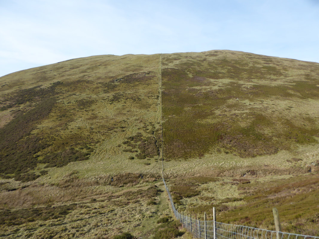
The short & steep ascent to Fellbarrow
As usual, Fudge had beaten us to the top. Here he is on the Trig Point on the summit of Fellbarrow.
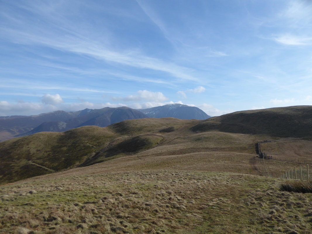
The summit of Fellbarrow and what a view over to the North Western Fells
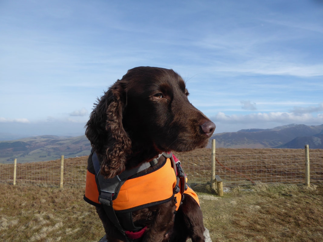
His Lordship looking extremely noble & pleased with himself on the summit of Fellbarrow
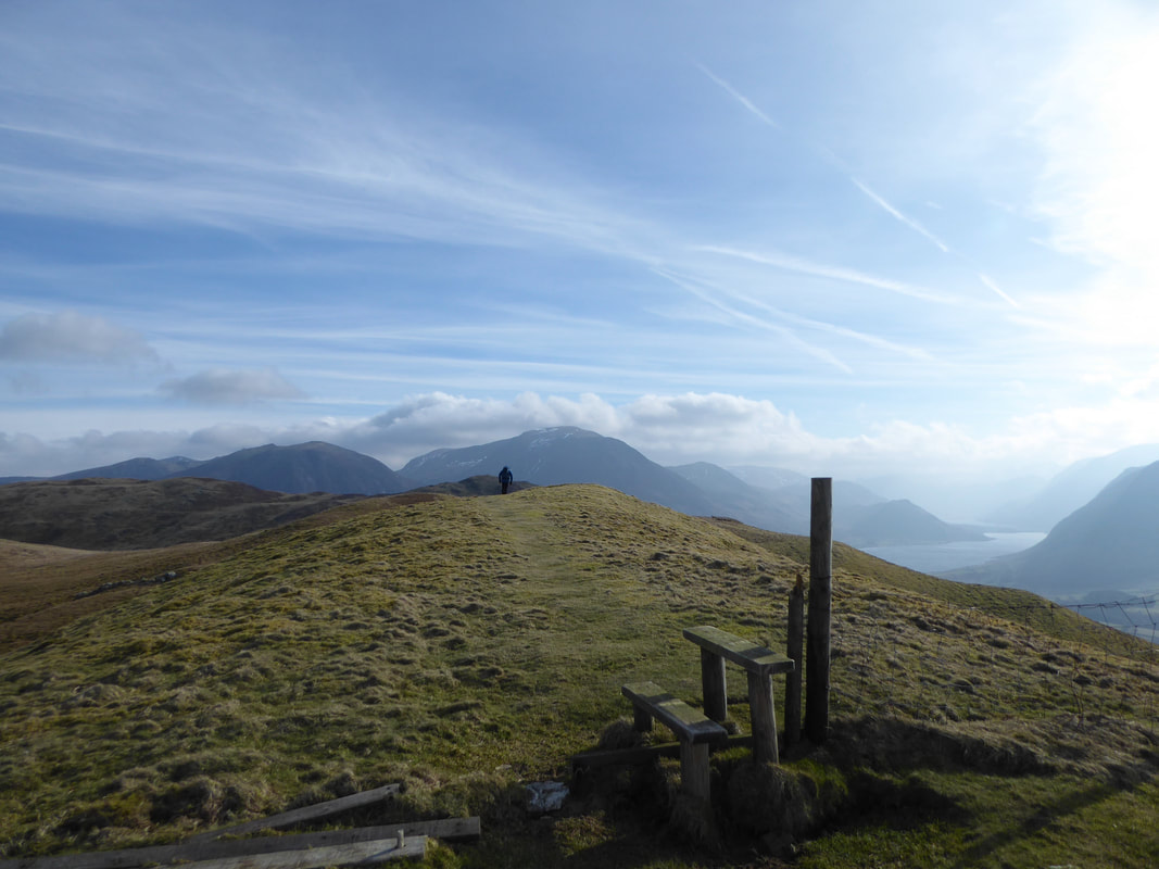
Ordinarily we would not cross the stile and remain on the eastern side of the fence.
However we fancied a wander over to the Birkett of Hatteringill Head therefore crossed back over to head north to make the short transit to the summit.
However we fancied a wander over to the Birkett of Hatteringill Head therefore crossed back over to head north to make the short transit to the summit.
The summit of Hatteringill Head aka Whin Fell looking to the North Western Fells
From Hatteringill Head we made our way back to Fellbarrow by exactly the same route.
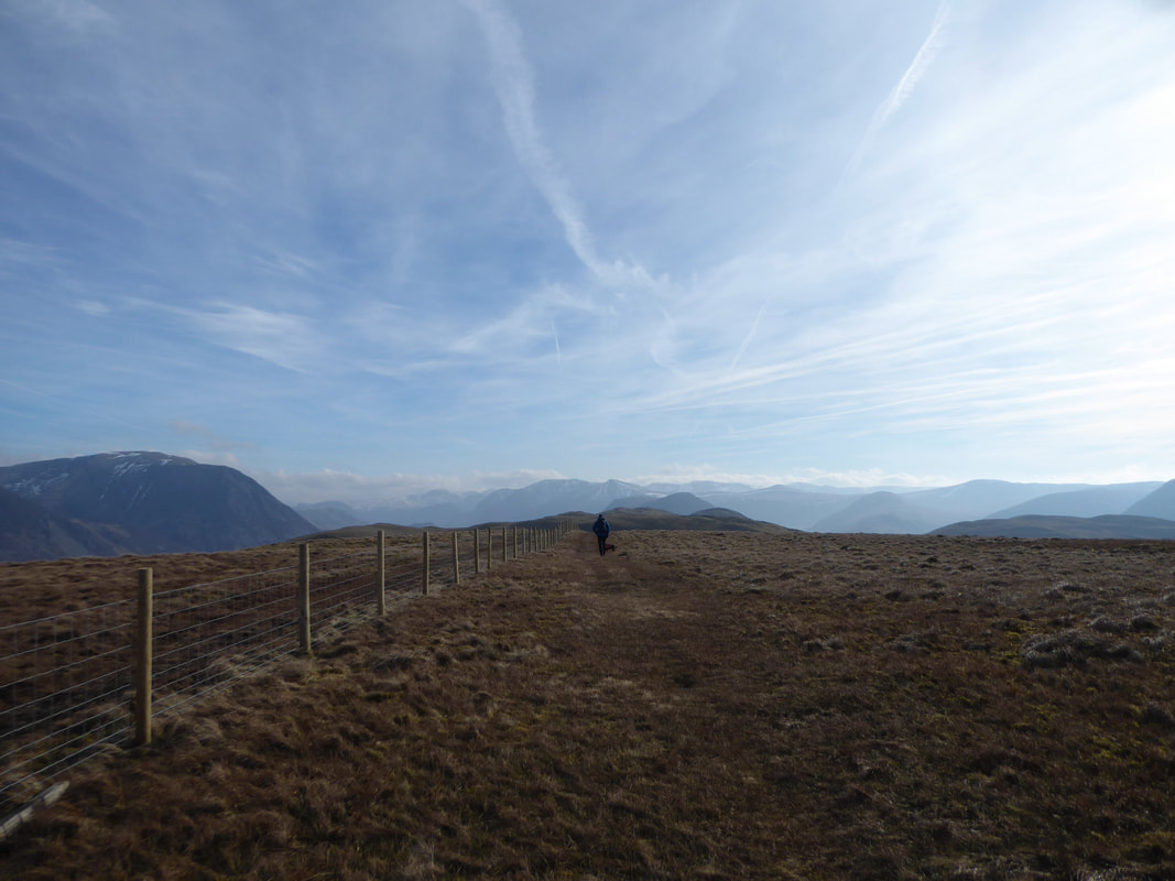
Leaving Fellbarrow - this time on the western side of the fence
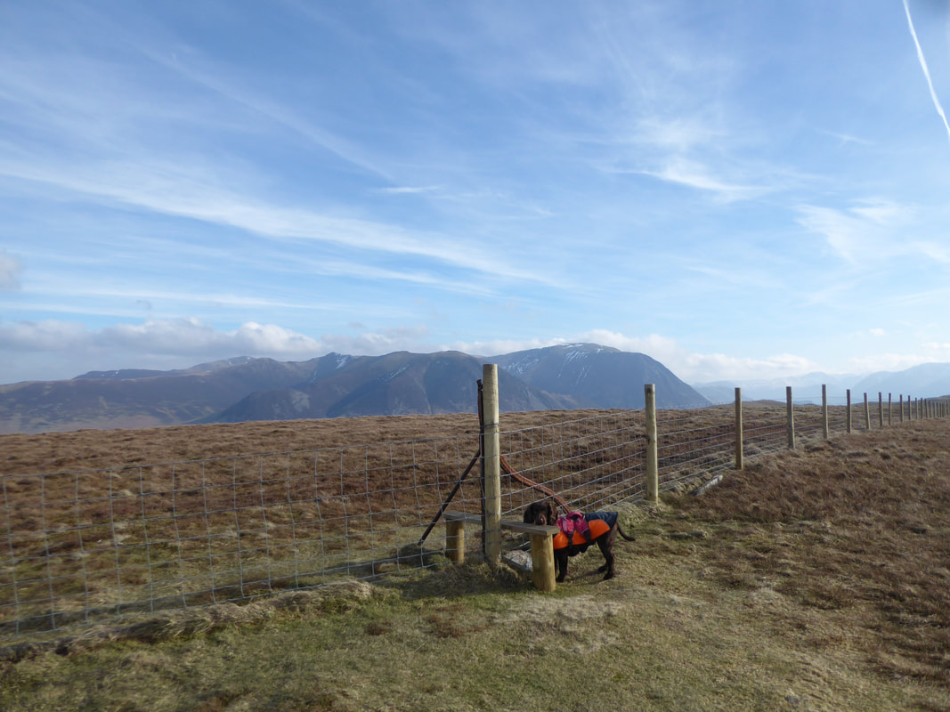
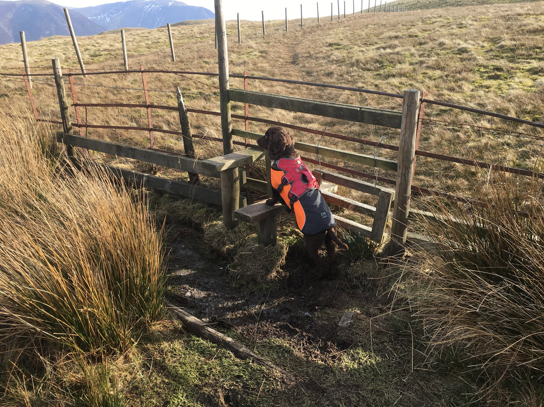
He does this at every stile - waits to be lifted over
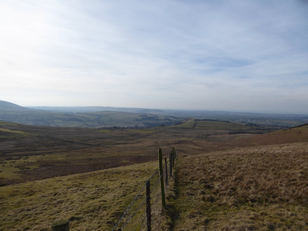
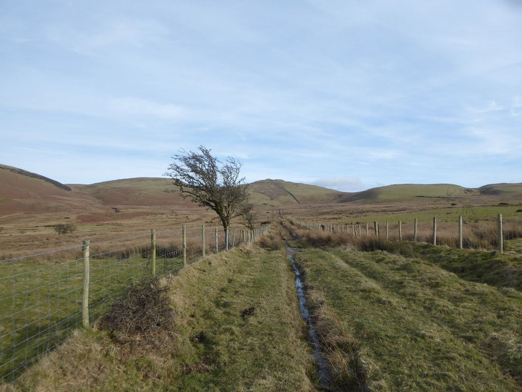
At the second fence corner after leaving Fellbarrow a vague path heads west which is our way back to the Mosser Fell Road
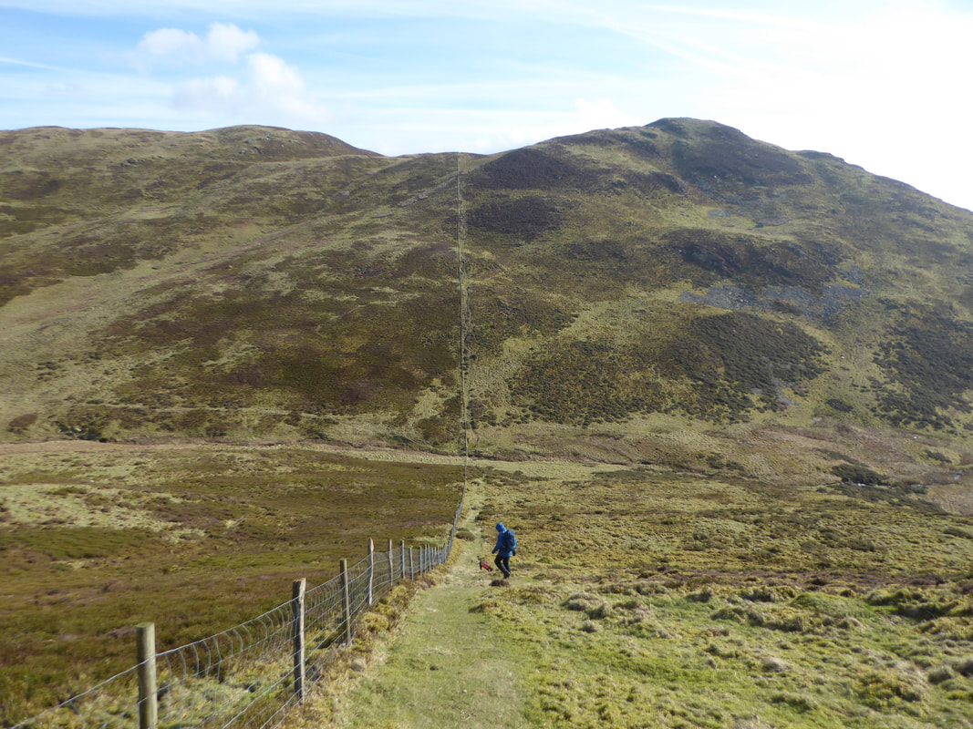
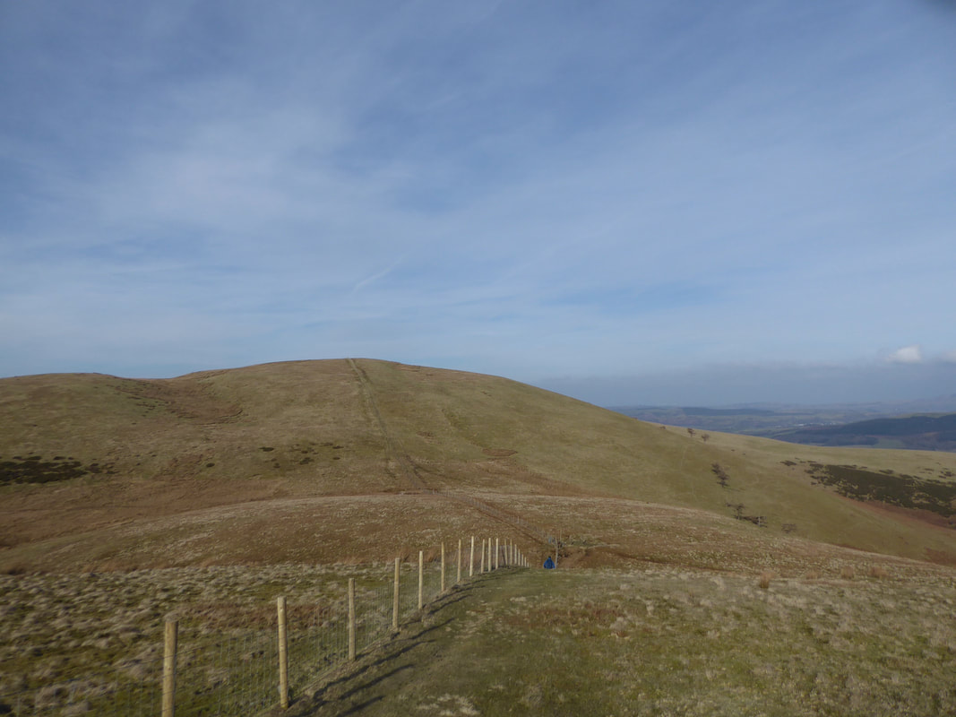
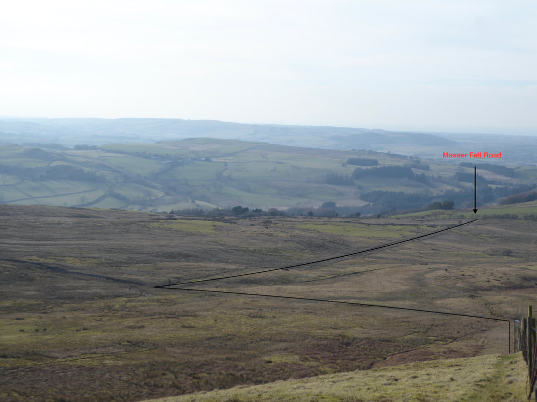
Looking down the fence line to the Mosser Fell Road - the black lines show the route of descent
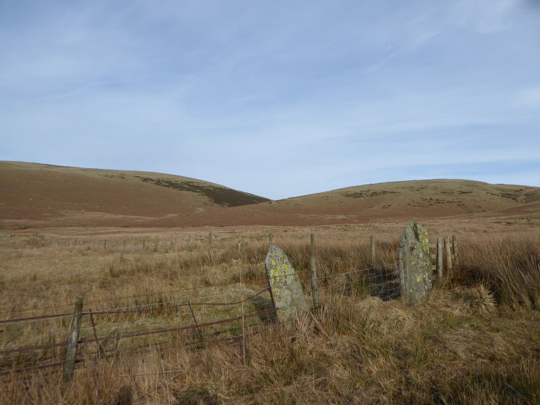
Love seeing these old gate fixtures - they are few and far between now unfortunately
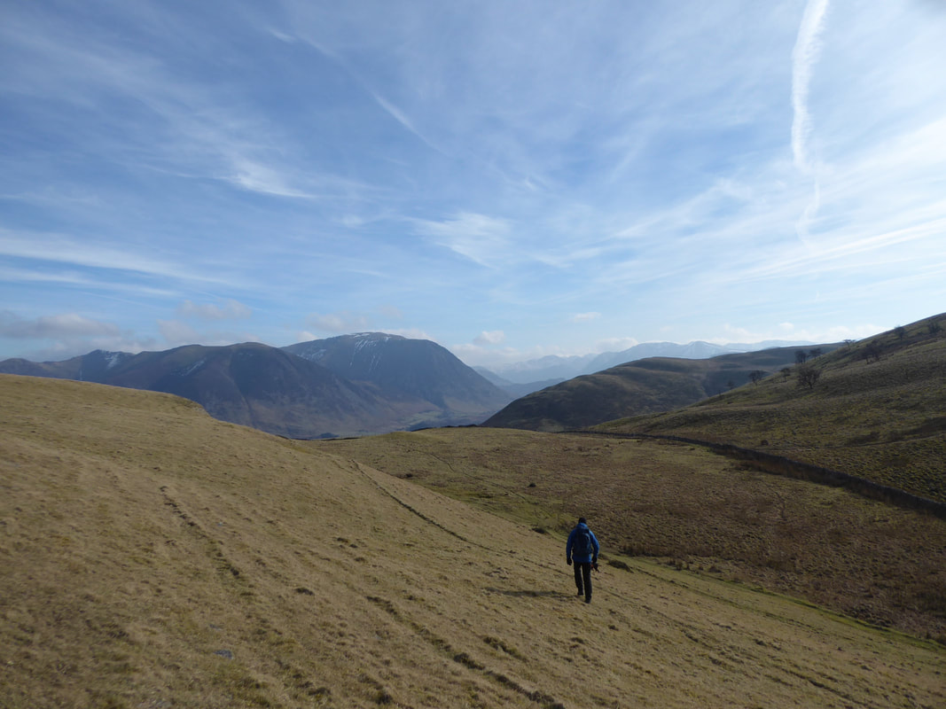
Looking back to Sourfoot Fell & Smithy Fell from the track to the Mosser Fell Road
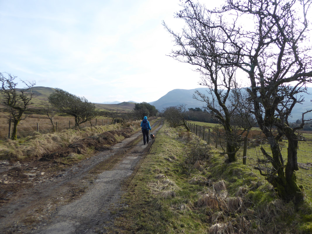
At the end of the track we turned left on to the Mosser Fell Road
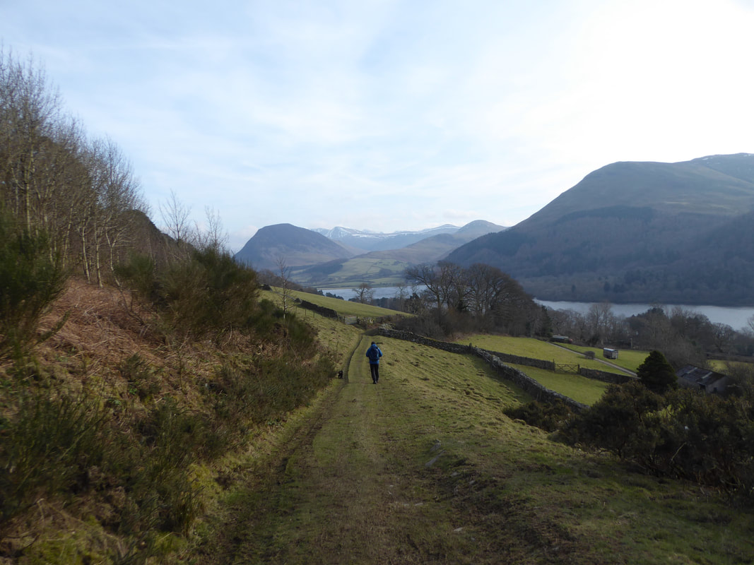
Dropping back down to meet the outward bridleway near Askill Farm
