Hart Side, Raise, White Side, The Dodds & Clough Head - Friday 2 April 2021
Route
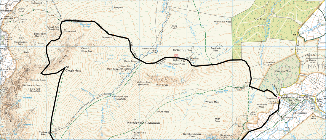
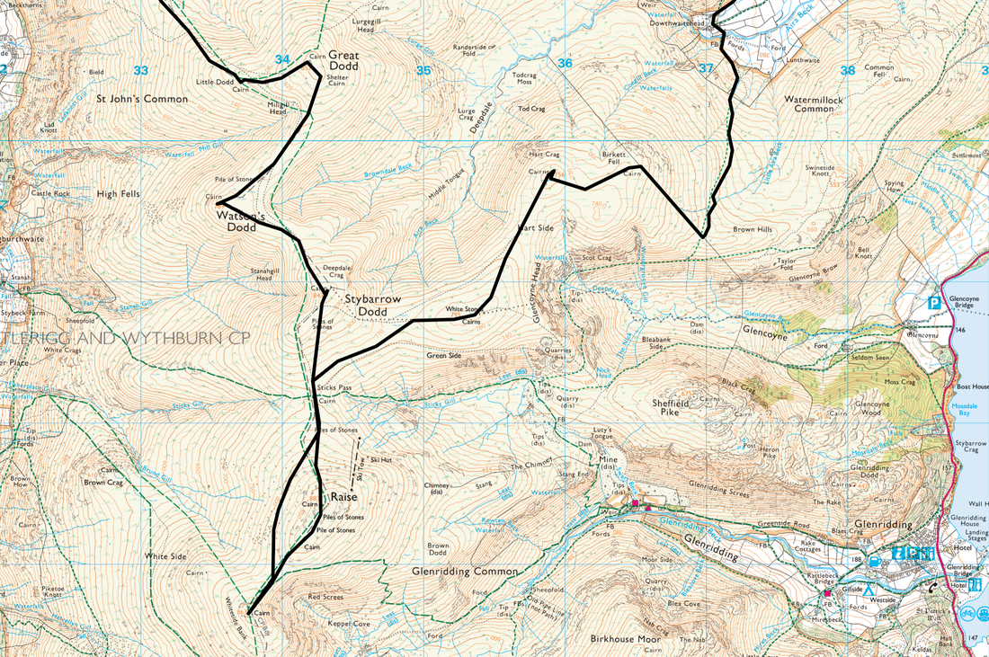
High Row - Dowthwaitehead - Birkett Fell - Hart Side - Green Side (White Stones) - Sticks Pass - Raise - White Side - Sticks Pass - Stybarrow Dodd - Watson's Dodd - Great Dodd - Little Dodd - Calfhow Pike - Clough Head - Red Screes - Threlkeld Knotts - Hausewell Brow - Old Coach Road - Mariel Bridge - Mothersike Brow - Groove Beck - High Row
Parking
High Row above Dockray where there is free parking for several cars - Grid Ref NY380219. The nearest postcode is CA11 0LG.
Mileage
15.8 miles
Terrain
Mountain paths both stony & grassy. The conditions underfoot were generally ok although the path from Dowthwaitehead to the wall turning for Birkett Fell can be boggy in places, particularly after heavy rain. Our route back to the Sticks Pass from White Side was over pathless terrain below the western flank of Raise. The descent from Threlkeld Knotts to the Old Coach Road is pathless but the going is good.
Weather
Sunshine with intermittent cold, windy spells. The visibility today was excellent.
Time Taken
8hrs 10mins
Total Ascent
3205ft (977m)
Wainwrights
7
Map
OL5 - The English Lakes (North Eastern Area)
Walkers
Dave & Rob Newby
|
GPX File
|
| ||
If the above GPX file fails to download or presents itself as an XML file once downloaded then please feel free to contact me and I will send you the GPX file via e-mail.
Route Map
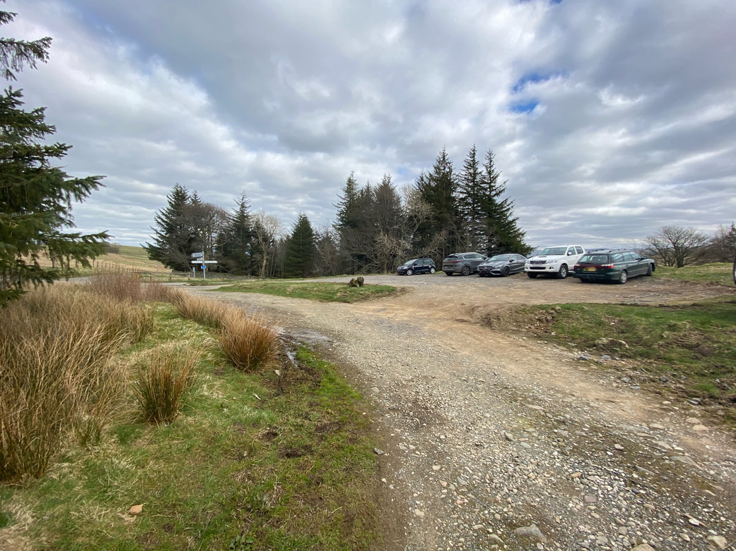
The parking area at High Row above the village of Dockray. At weekends this is a popular starting point for dog walkers and those walking on The Dodds therefore it is best to get here fairly early. During the week should be fine.
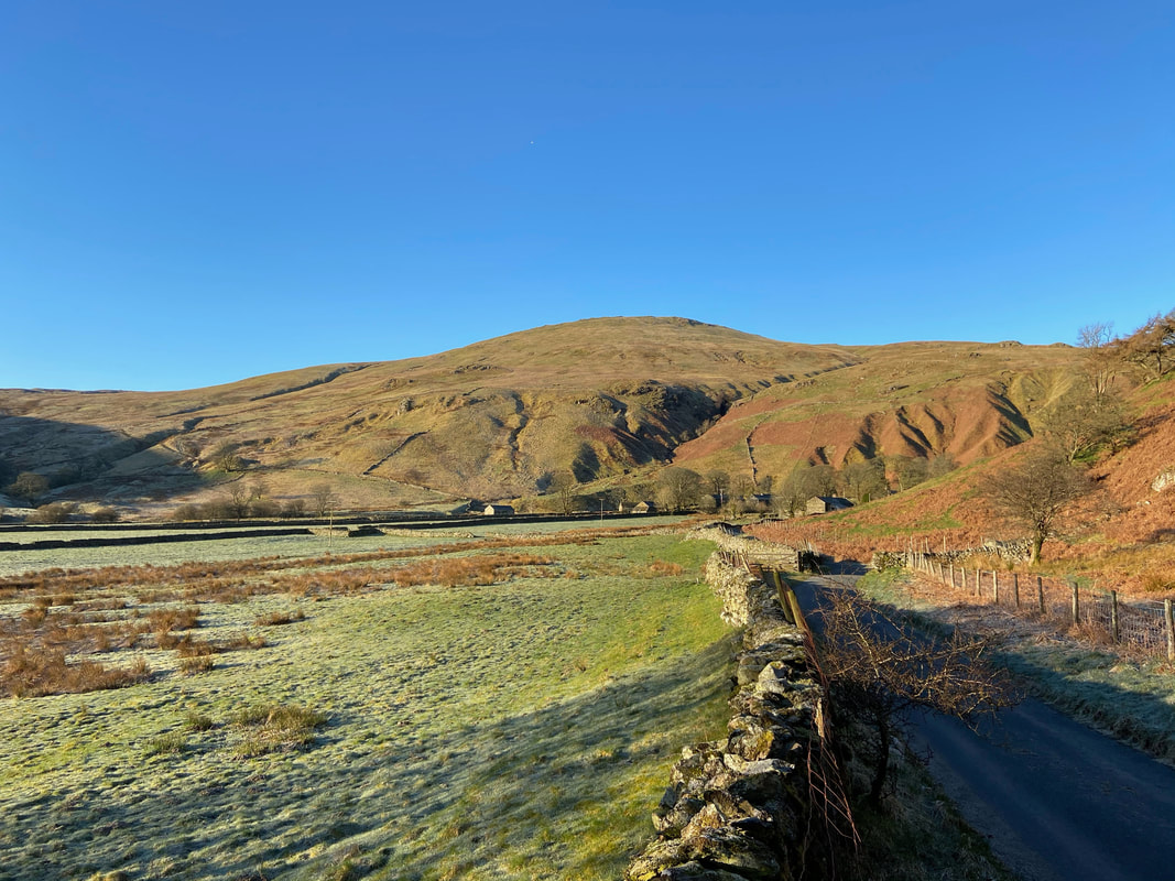
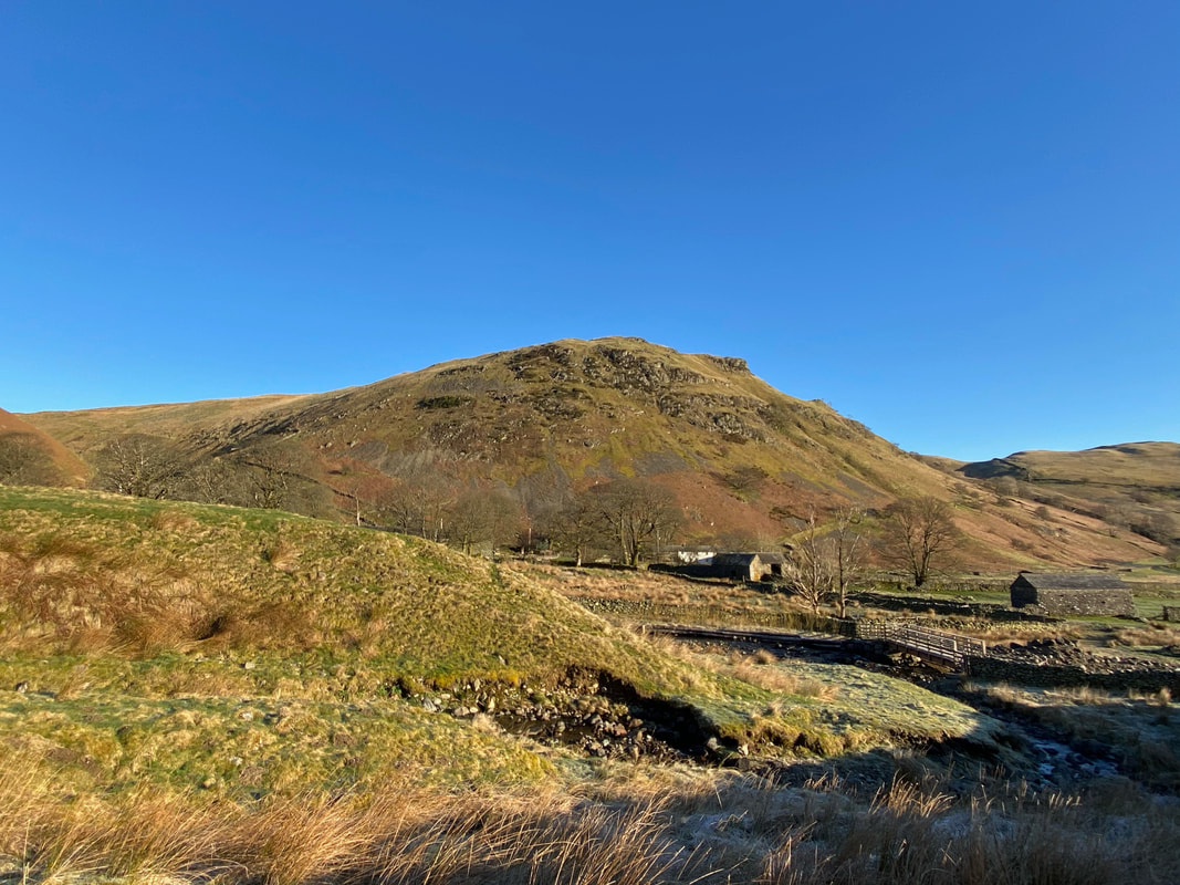
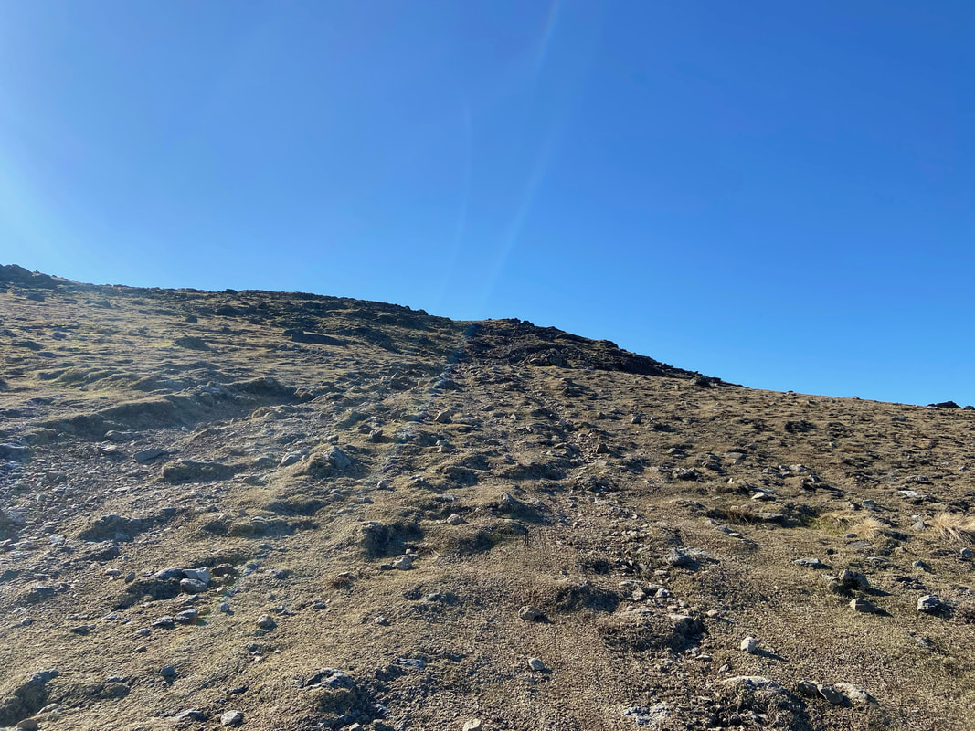
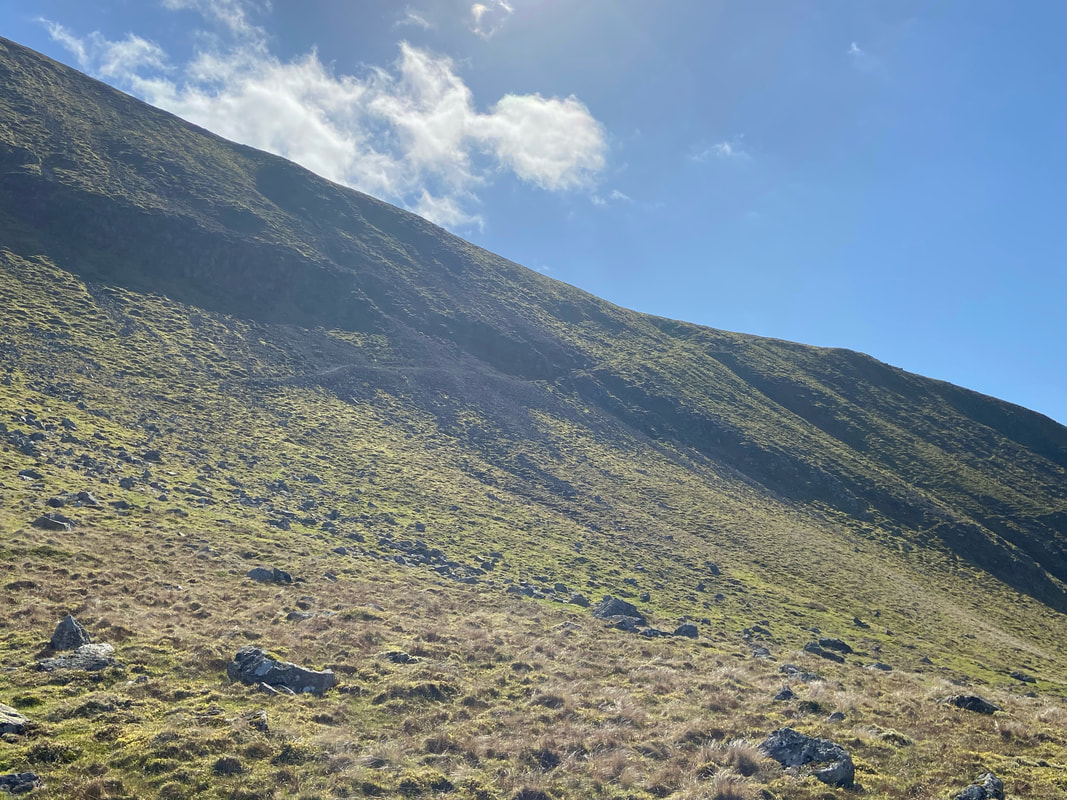
From the parking area the route heads south west to the farm buildings at Dowthwaitehead. Our first climb today was Birkett Fell which sits above the farm. To reach it we would transit over the lower slopes to the ridge on the left of shot from where there is a steep climb to the summit.
Dowthwaite Crag
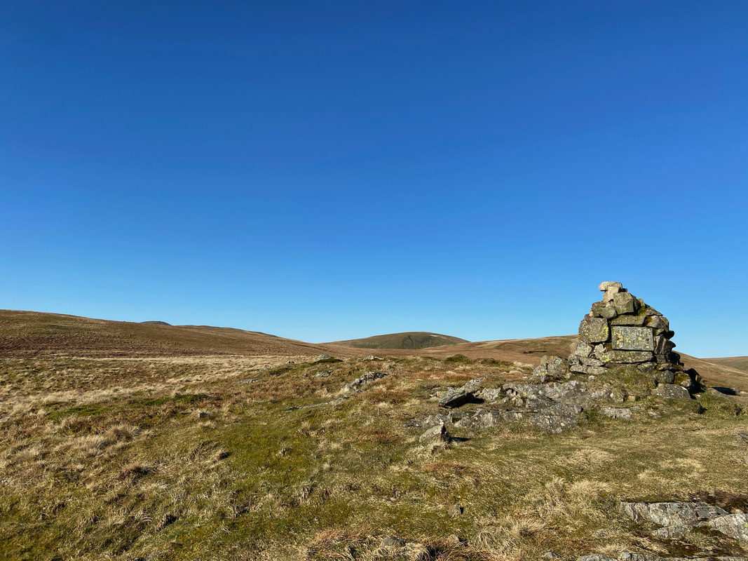
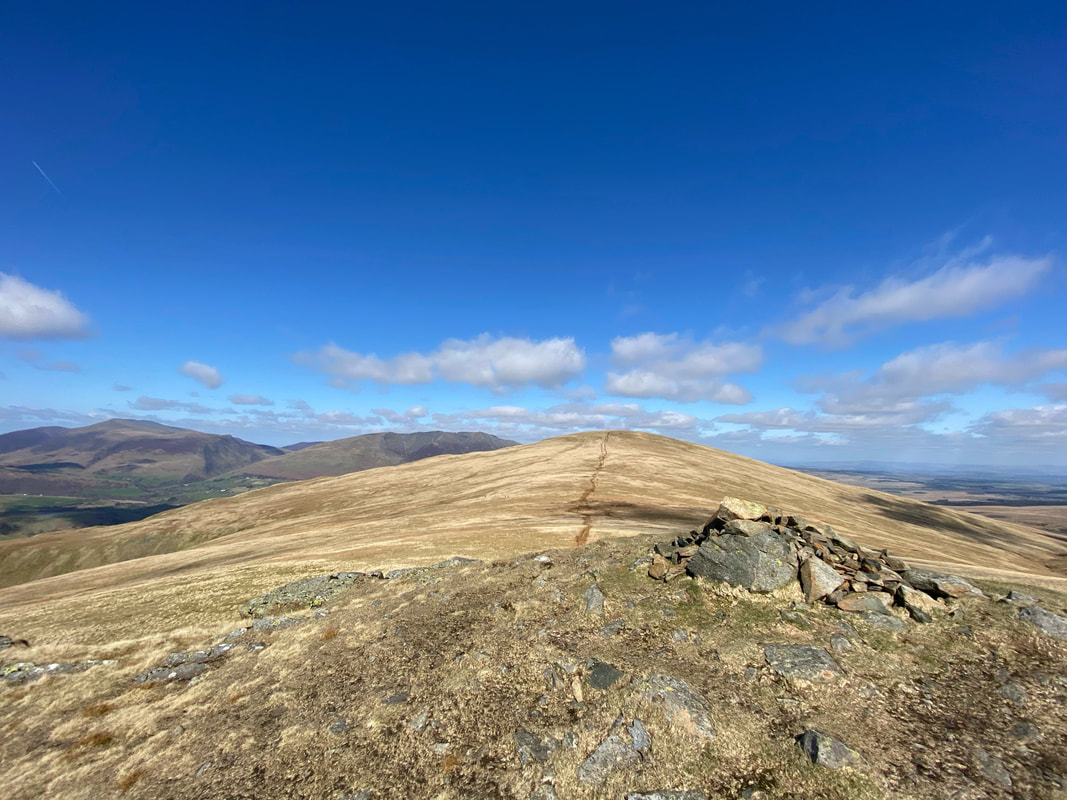
The summit of Birkett Fell
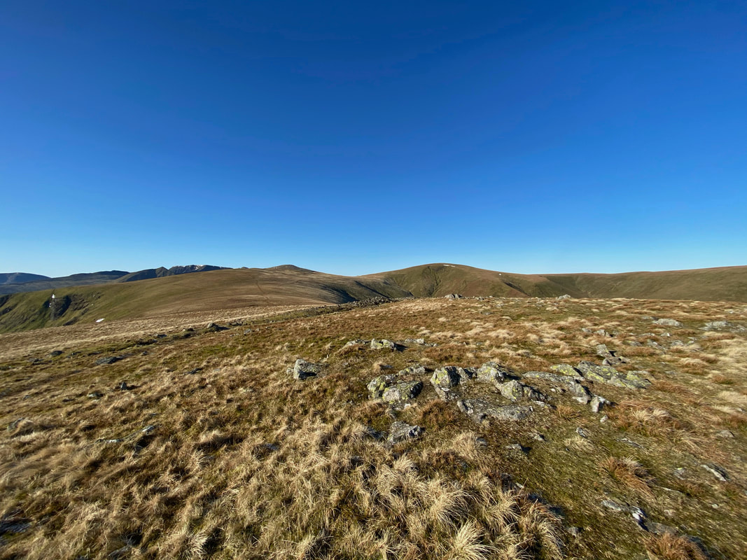
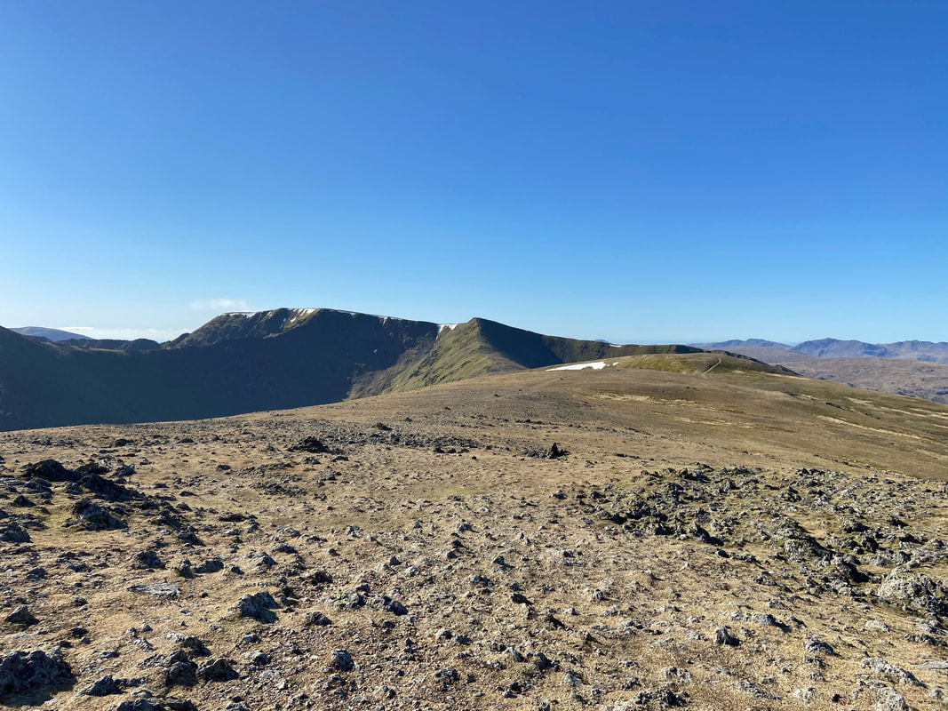
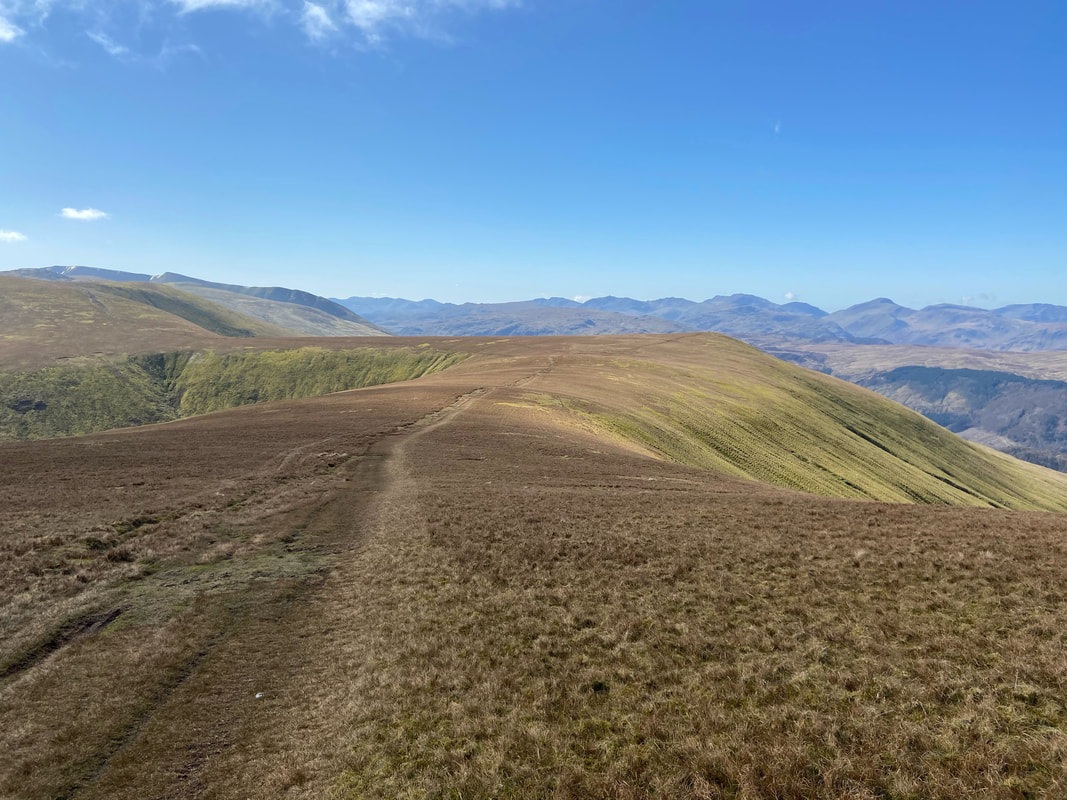
The summit of Hart Side looking to Green Side & Stybarrow Dodd
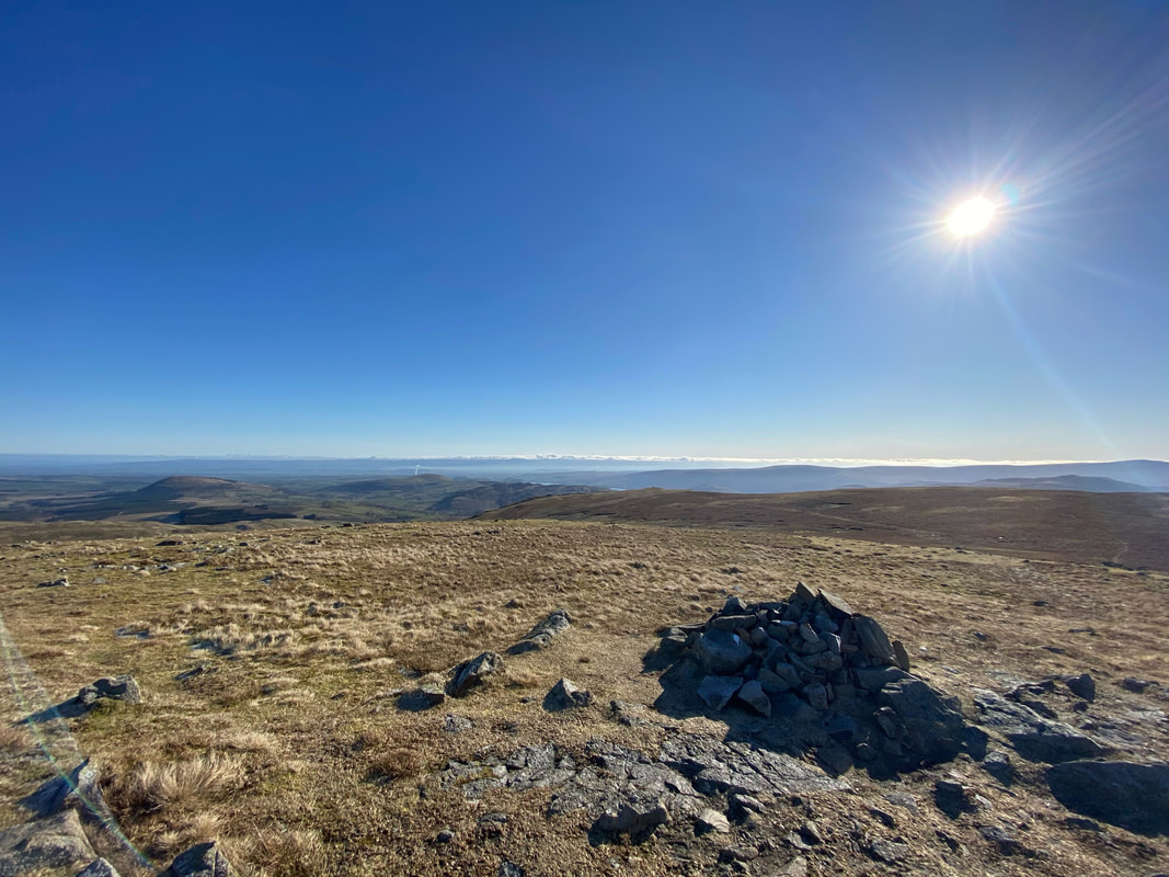
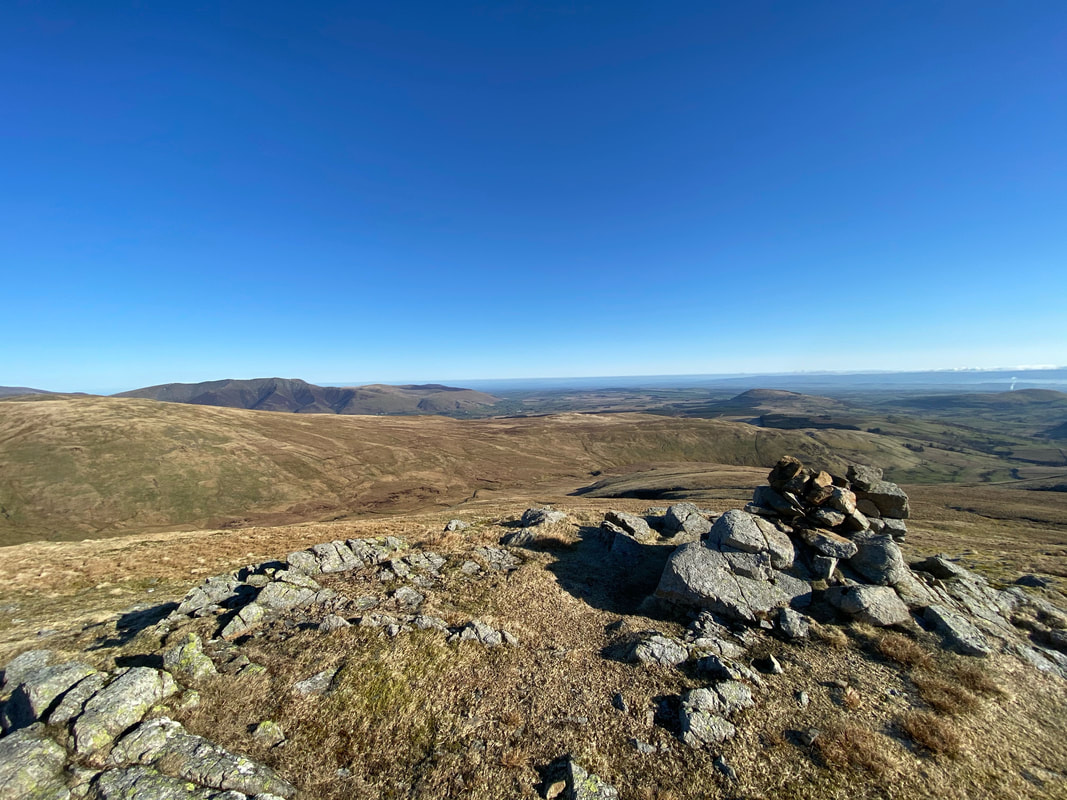
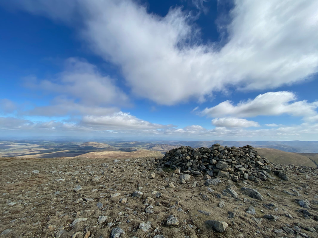
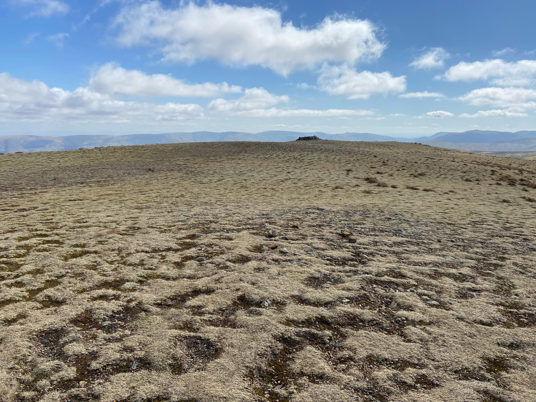
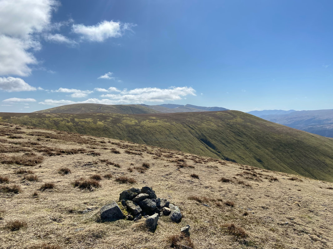
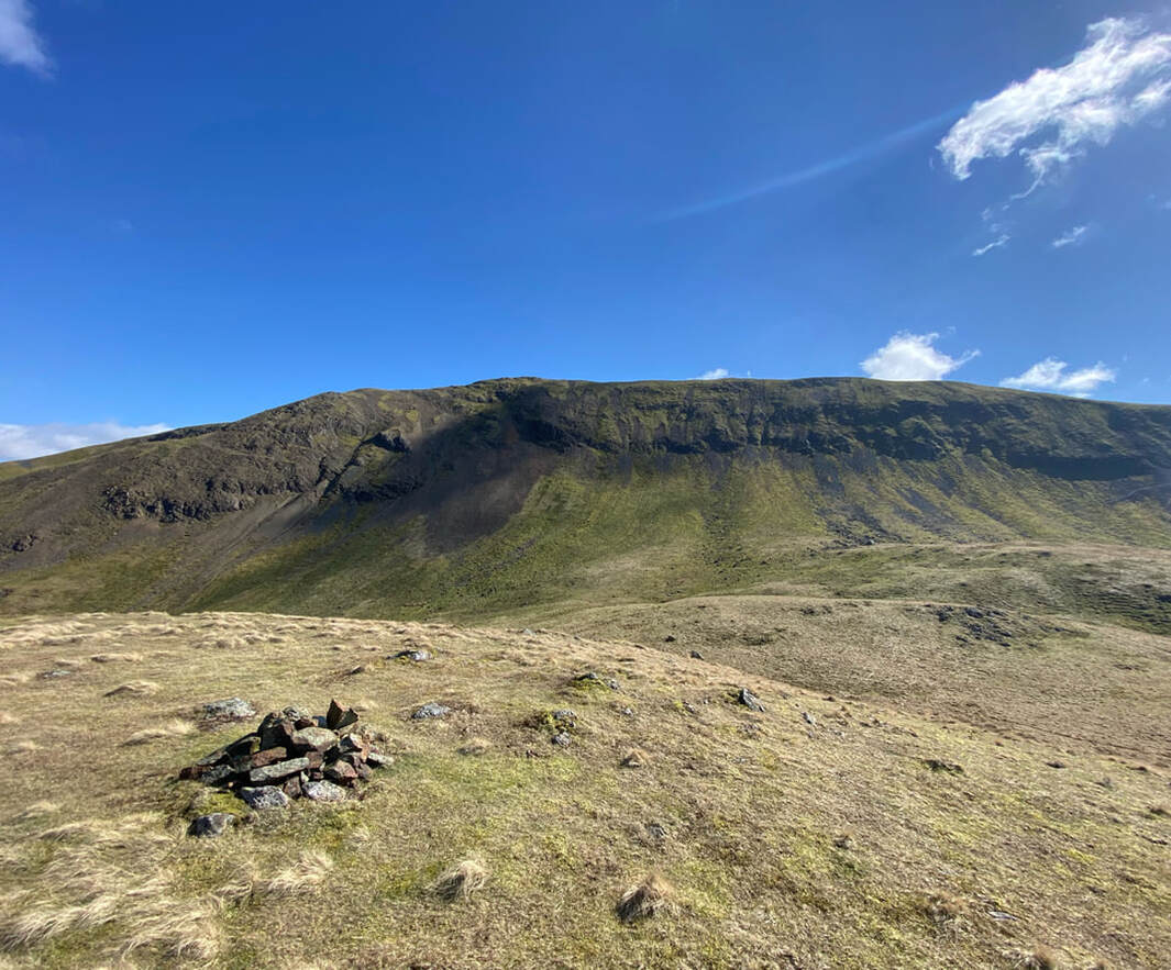
One of several cairns on the summit of Hart Side
The north eastern cairn on Hart Side looking into the valley of Deepdale with Blencathra distant left
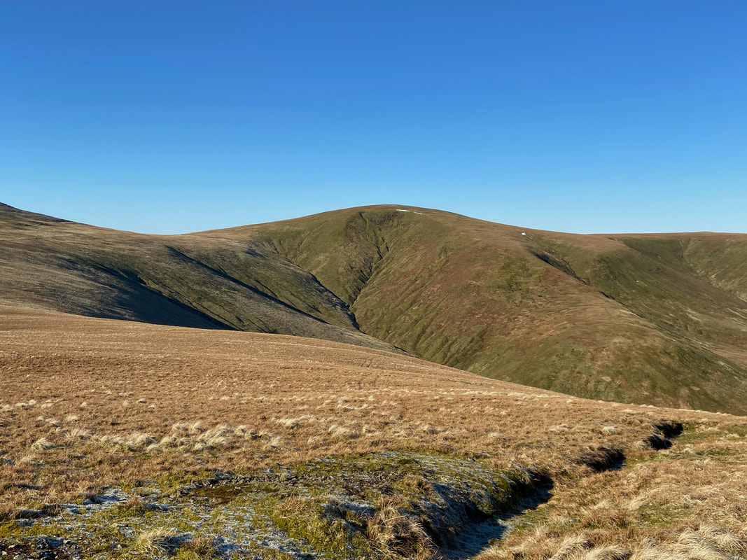
Stybarrow Dodd
As it was such a nice day we abandoned our plans to head straight to Stybarrow Dodd from Green Side and instead we headed on a south west traverse along the lower slopes to the Sticks Pass. From there we intended to summit Raise and then return the same way to Stybarrow Dodd. Catstycam, Helvellyn & Raise provide the excellent vista.
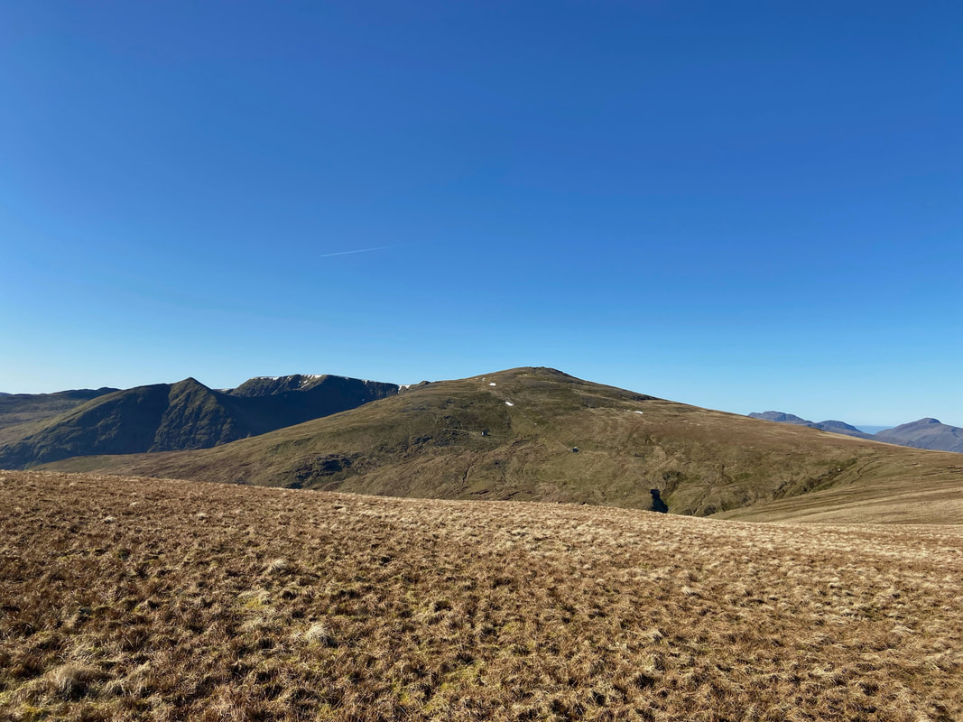
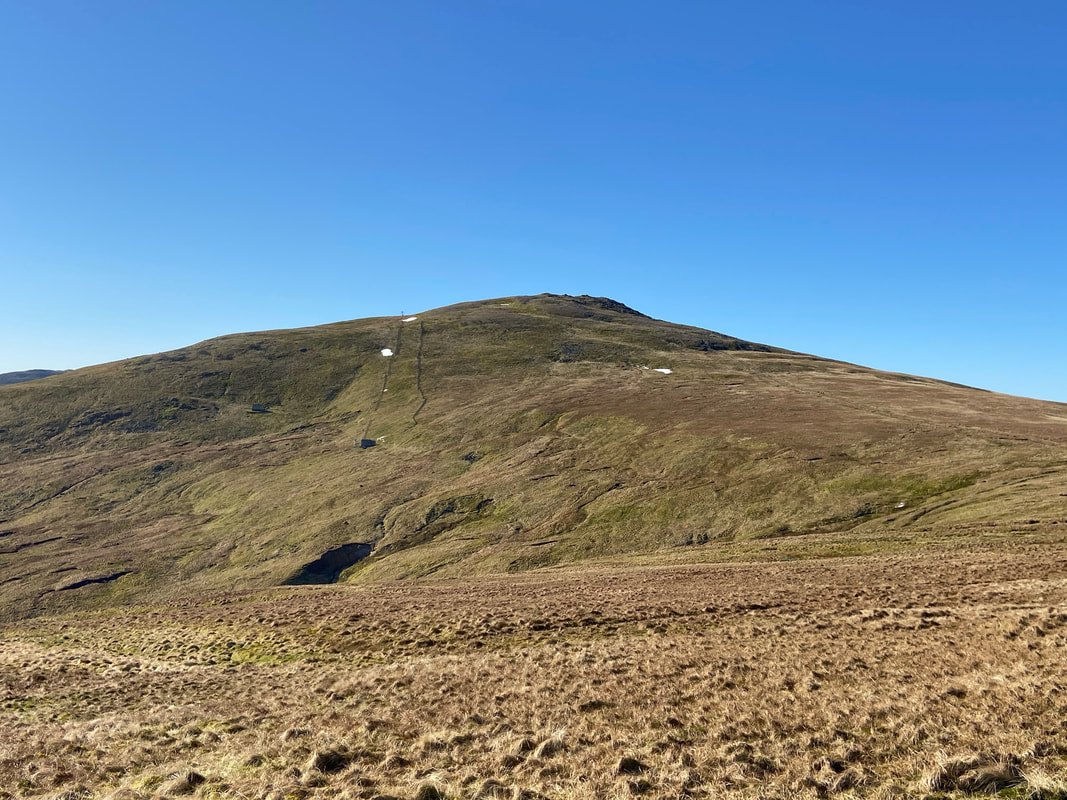
Raise and the ski slope & tow which adorns its northern flank
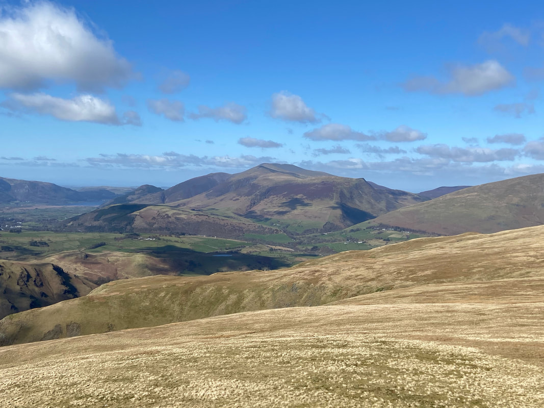
Green Side, Ullswater & Sheffield Pike from near the summit of Raise
Stybarrow Dodd with the Sticks Pass below from the ascent of Raise
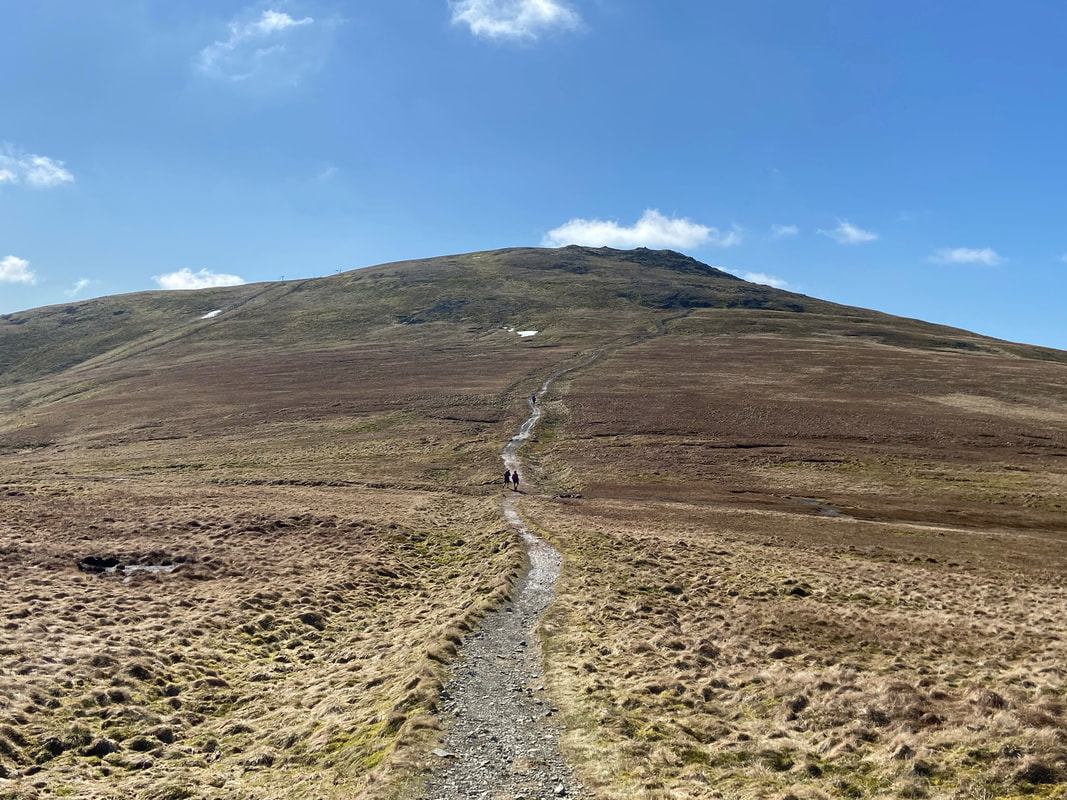
The approach to the summit of Raise. Shortly after we had a long chat with 2 chaps who were doing some training for an attempt on the Bob Graham Round. This challenge is a 24 hour fell run climbing as many 2000ft plus peaks as possible with the attempt starting and finishing at the same place.
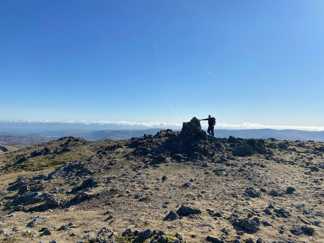
Rob on the summit of Raise
Helvellyn, Lower Man & White Side from Raise. White Side looked so inviting we decided to extend our walk even further.
Looking back to Raise from the approach to White Side
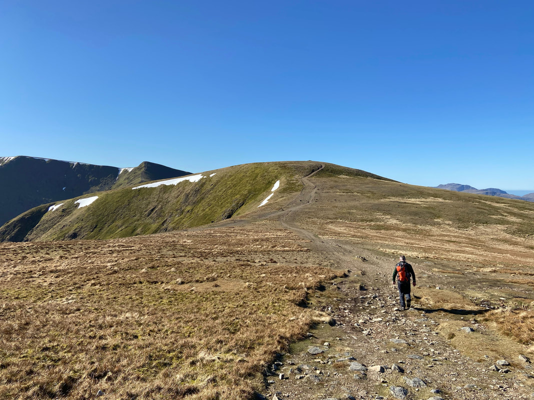
Heading to White Side
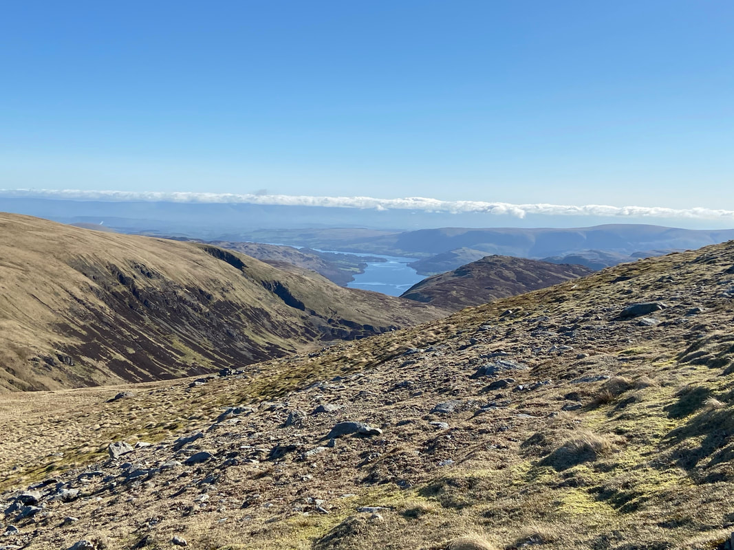
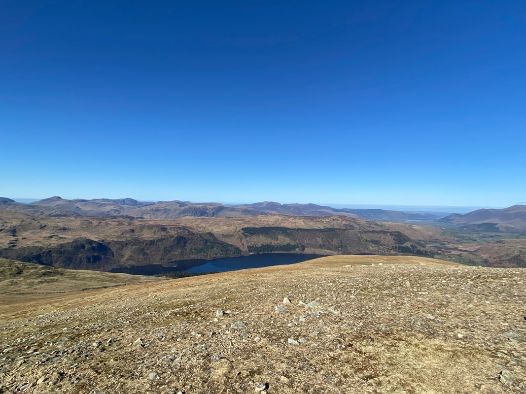
Thirlmere from White Side
Two walkers approaching White Side from Helvellyn Lower Man
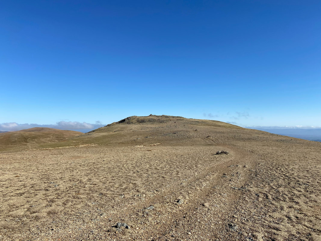
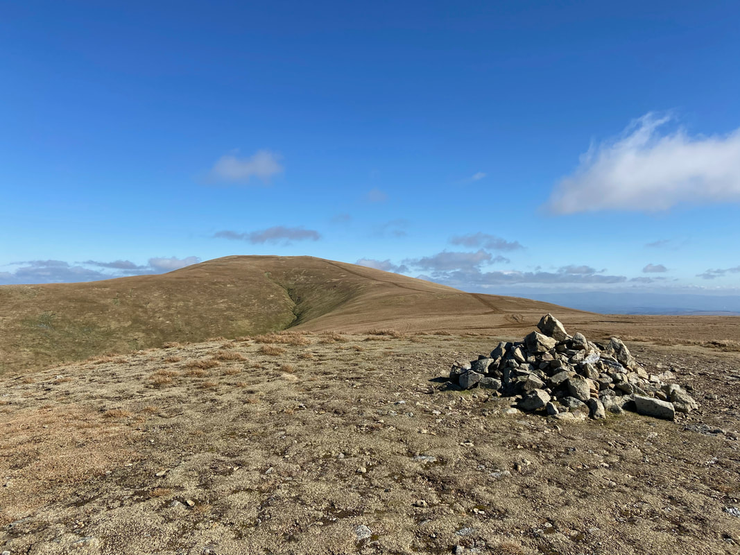
The summit of White Side
From White Side we headed across the western flank of Raise to rejoin our outward route near the Sticks Pass. To reach the summit of Stybarrow Dodd we took the sloping path to the right.
Looking back to Raise from just above the Sticks Pass as we start the ascent of Stybarrow Dodd
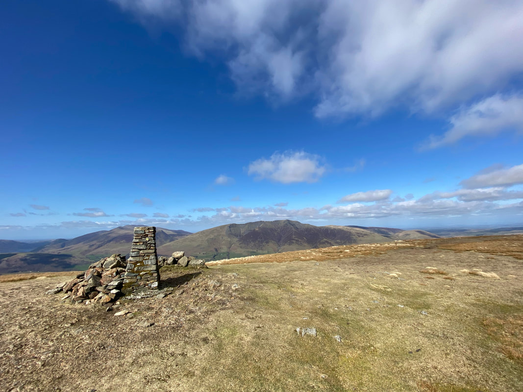
The cairn near the summit of Stybarrow Dodd - the actual summit is 15m south east of the cairn
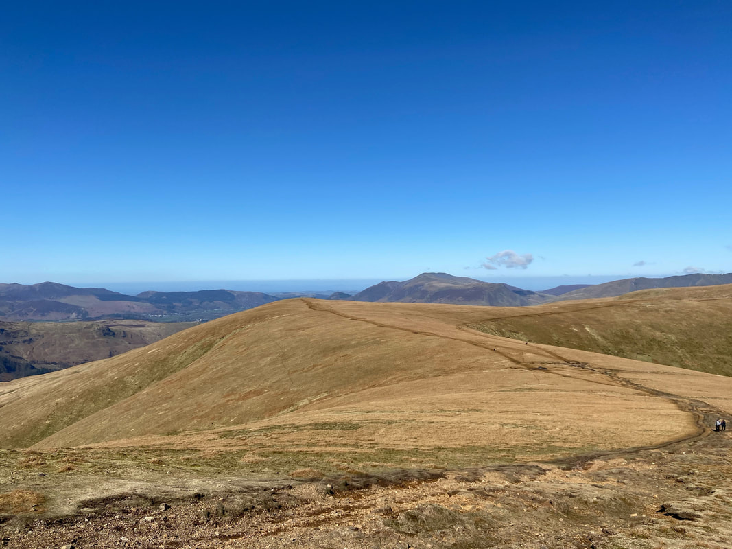
Watson's Dodd from the descent of Stybarrow Dodd
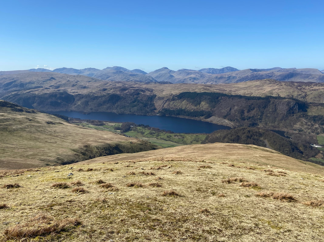
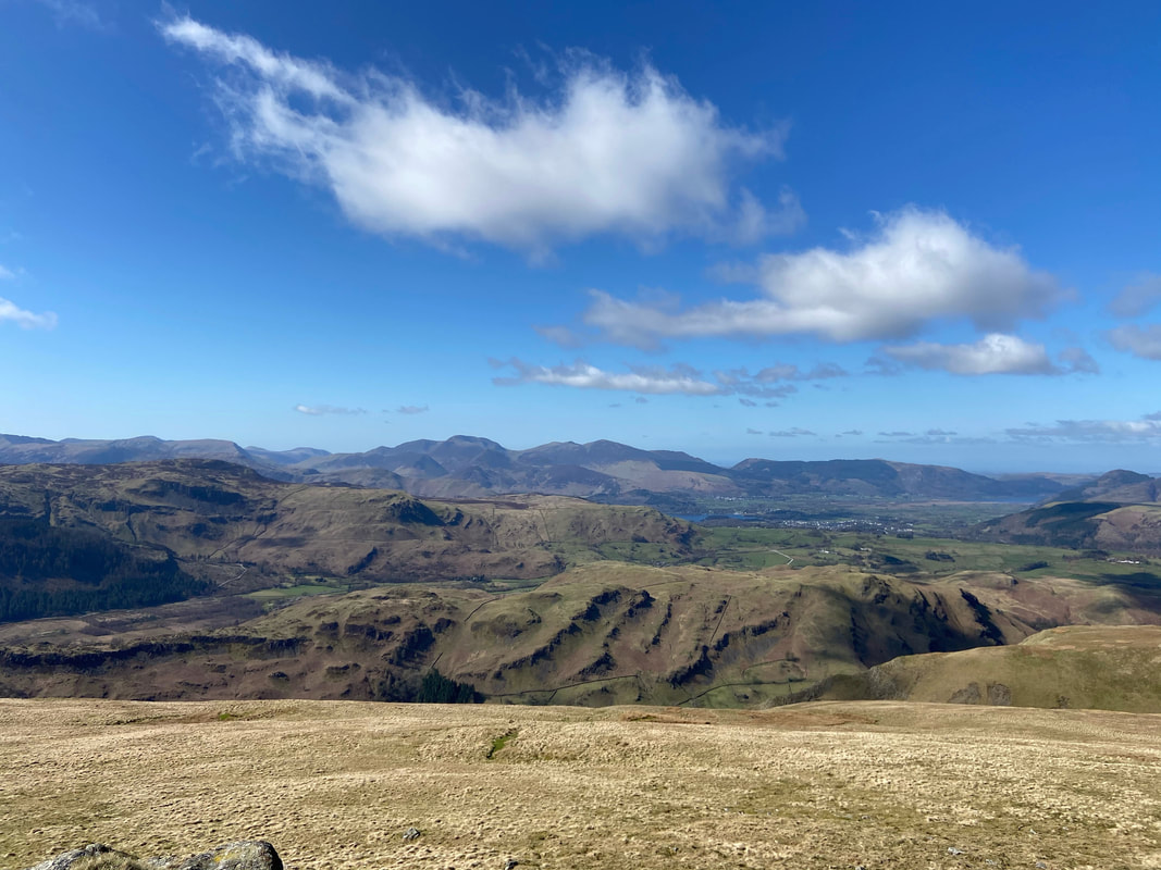
Just a short distance form the summit of Watson's Dodd can be found this glorious view over Thirlmere to layers & layers of fells
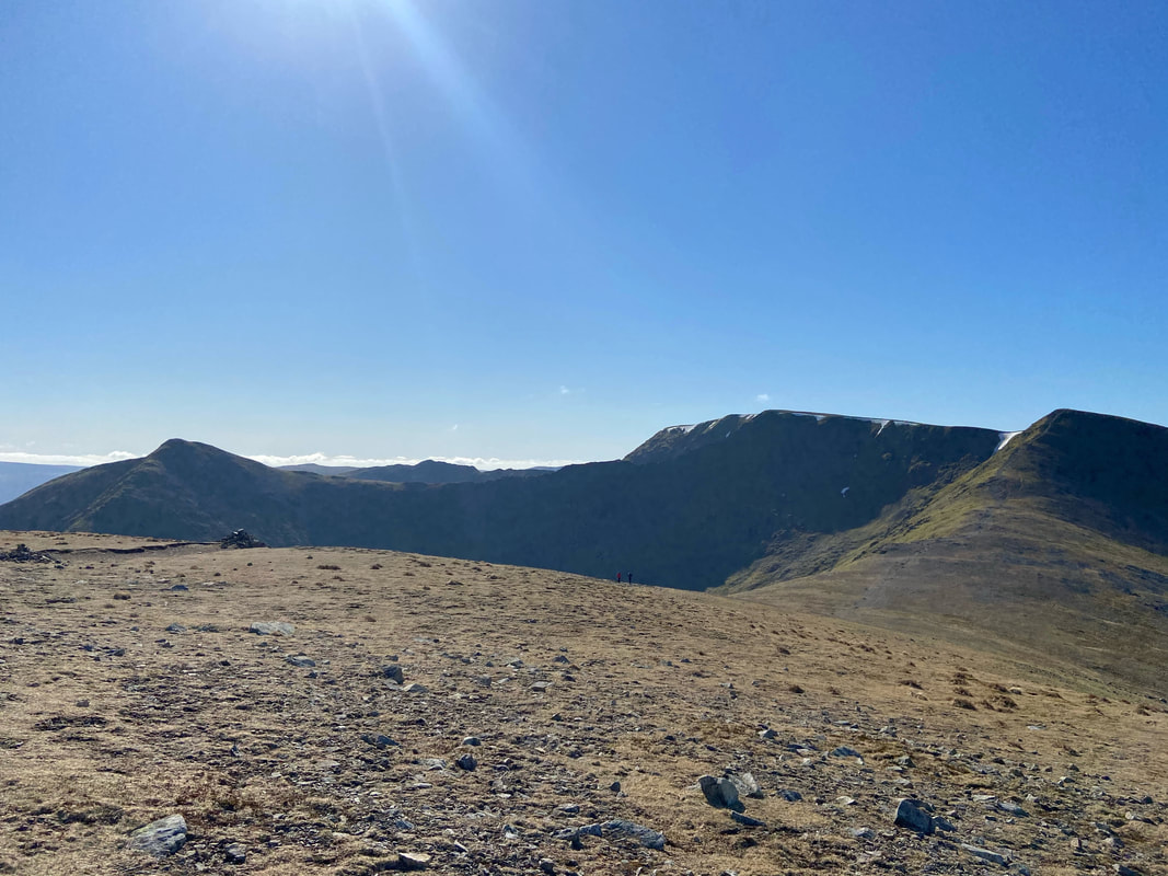
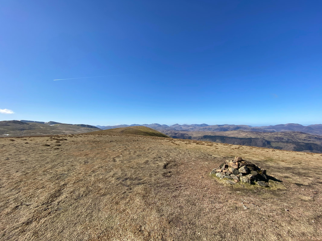
The summit of Watson's Dodd looking to Great Dodd
Looking back to Watson's Dodd from the ascent of Great Dodd
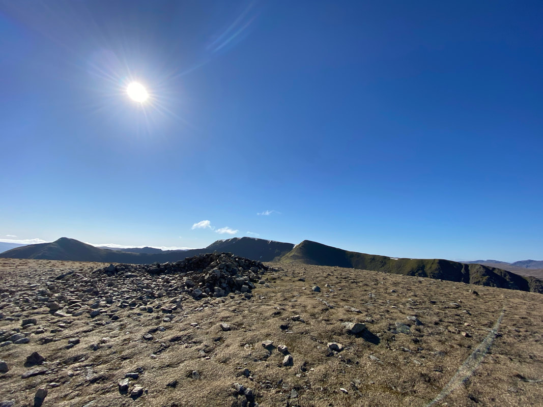
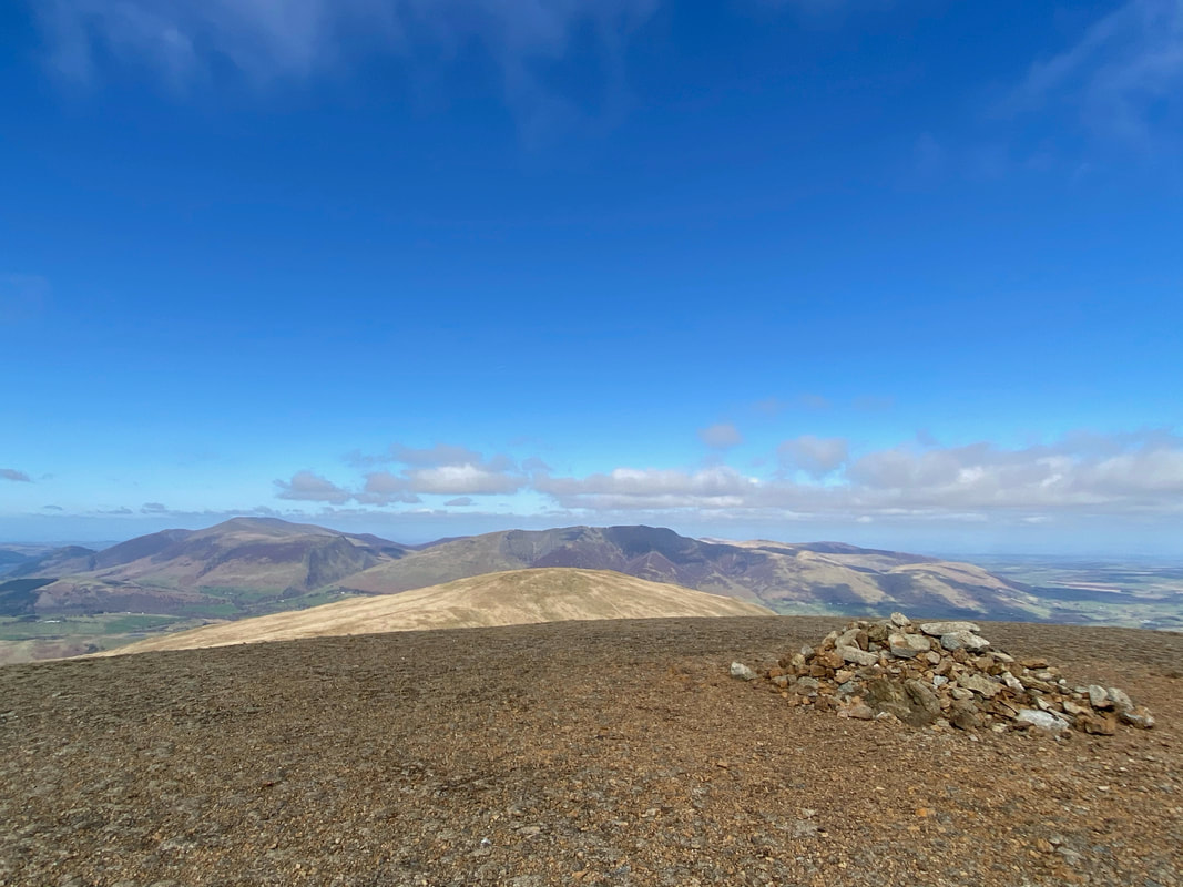
The summit shelter on Great Dodd
The shelter from the summit of Great Dodd
The cairn on Great Dodd with Clough Head, Blencathra & Skiddaw distant
The summit of Little Dodd - well worth a detour off the main path to Calfhow Pike & Clough Head
The summit of Calfhow Pike and our onward transit to Clough Head
The magnificent Skiddaw from Calfhow Pike
The glorious view to the North Western Fells from Calfhow Pike
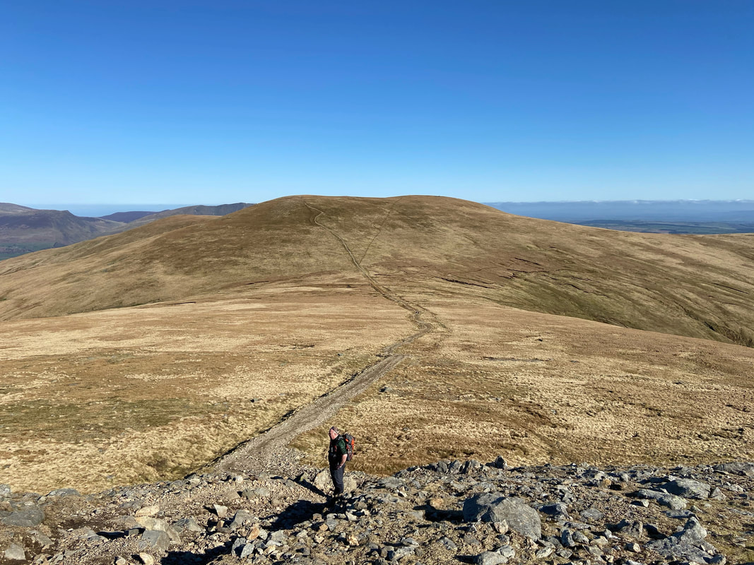
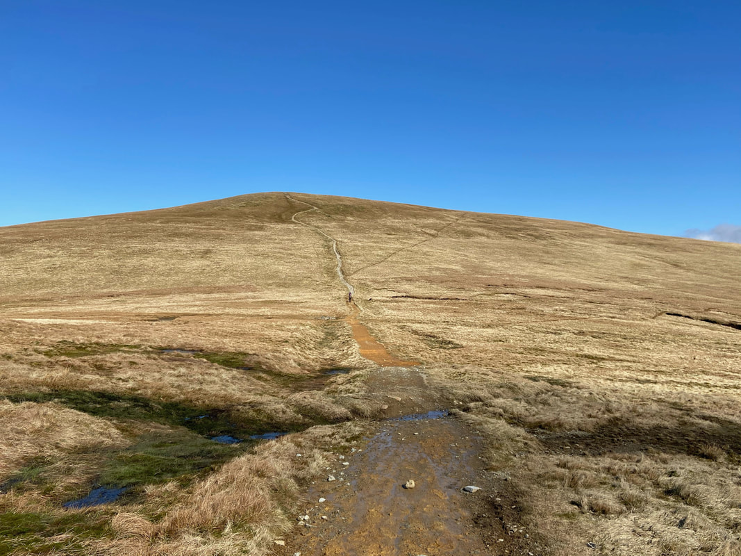
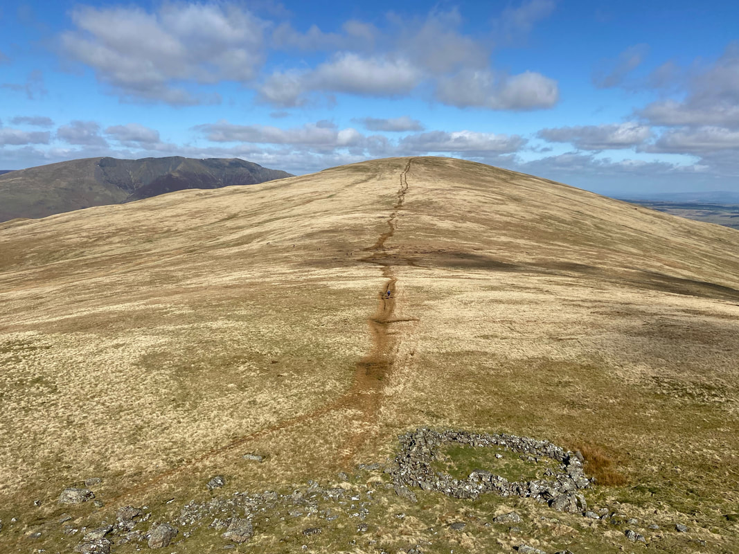
The route to Clough Head from Calfhow Pike - it may look easy but this ascent is quite a slog
Skiddaw & Blencathra from the summit of Clough Head
From Clough Head we headed west on a good path which sweeps around to traverse the slopes of Red Screes
Threlkeld Knotts & Blencathra from the Red Screes path
Our descent path from Clough Head - unfortunately I could not get a decent shot in without catching the sun
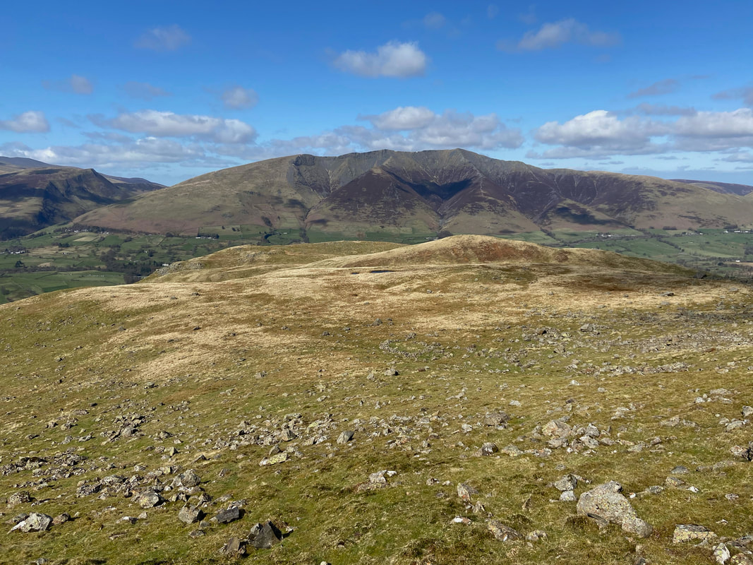
Red Screes from the summit of Threlkeld Knotts
From Threlkeld Knotts the route heads over rough ground towards the Old Coach Road.
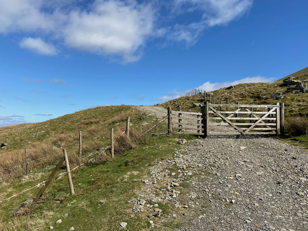
The Old Coach Road - a rough track that links the village of Dockray with St John's in the Vale
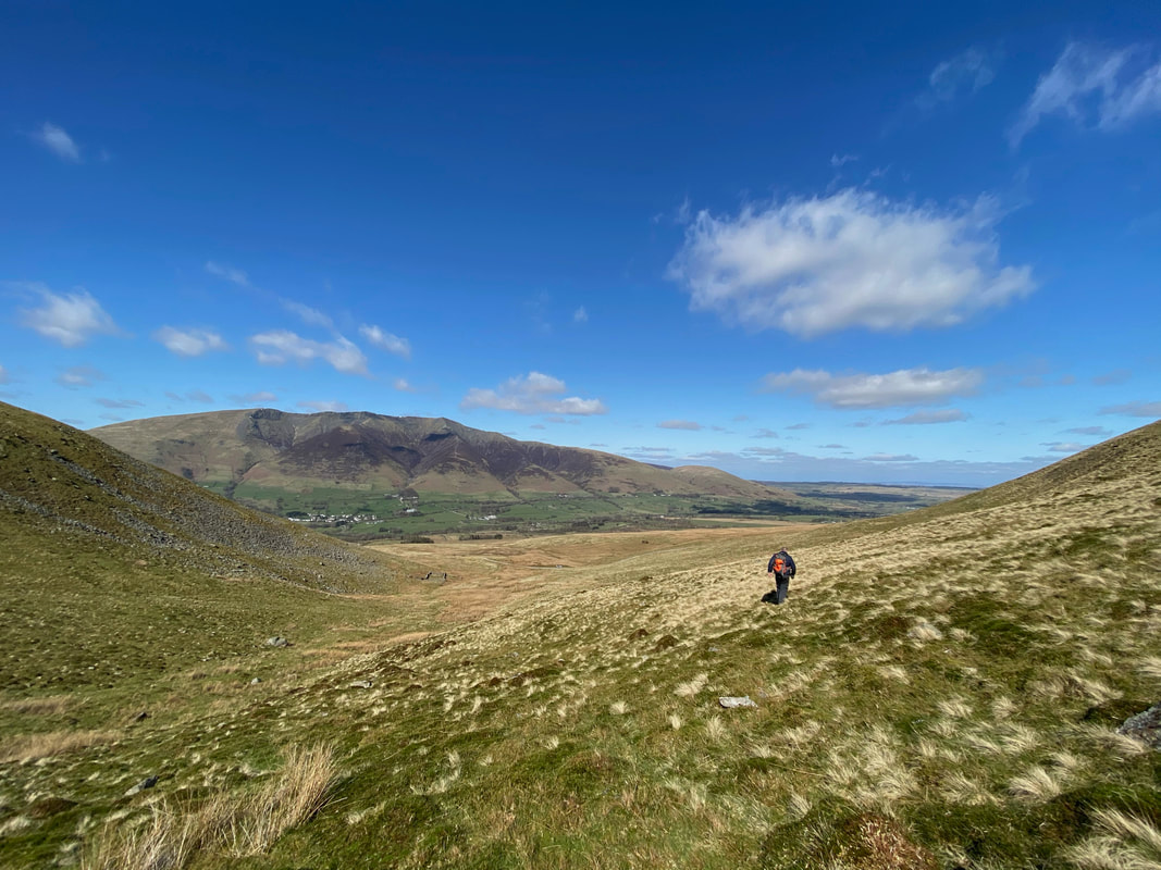
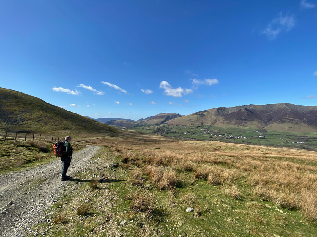
Rob admires the view to Threlkeld & Blencathra before we start our 3 mile walk back to the car at High Row
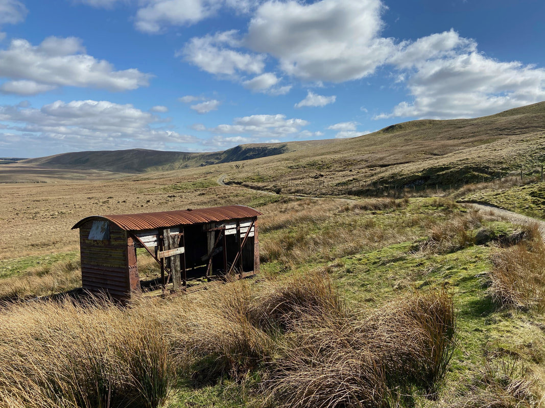
A dilapidated railway wagon at Hausewell Brow
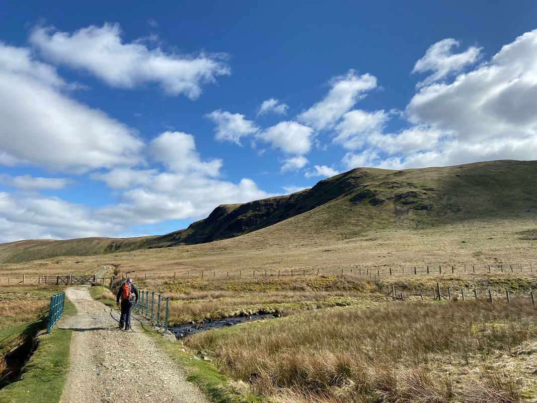
Crossing Mariel Bridge over Mosedale Beck
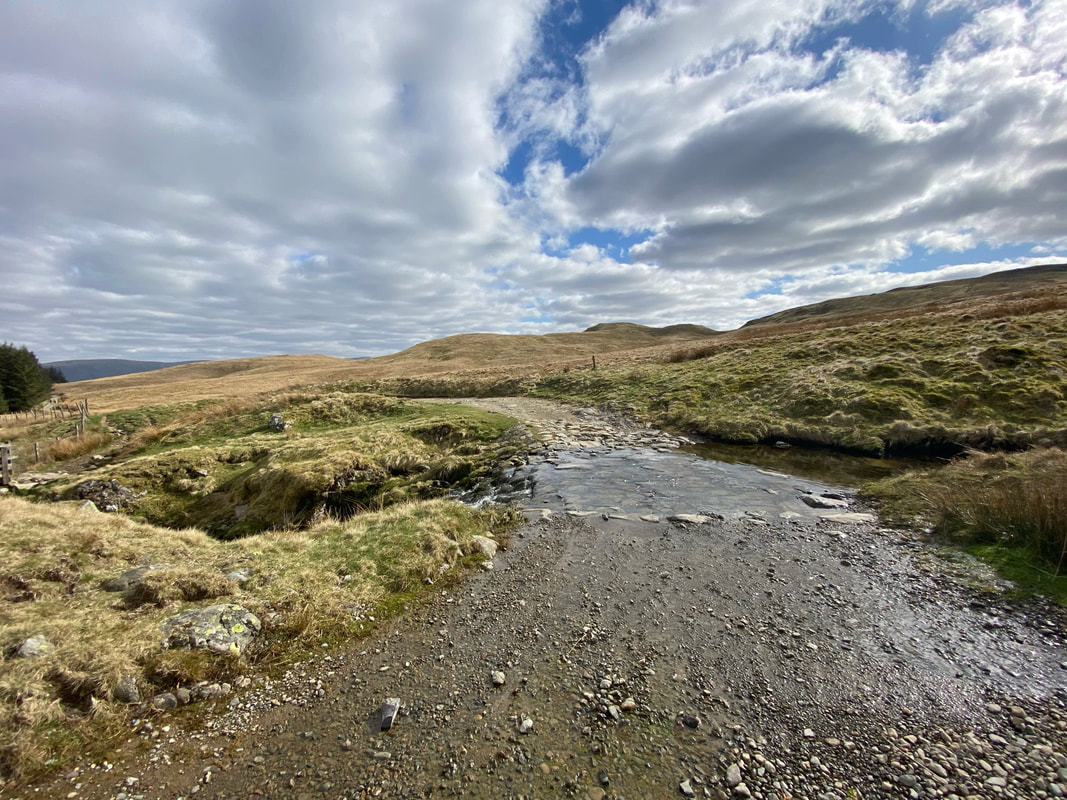
The ford over Groove Beck near High Row
